The Journey to Godwin's Peak
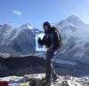
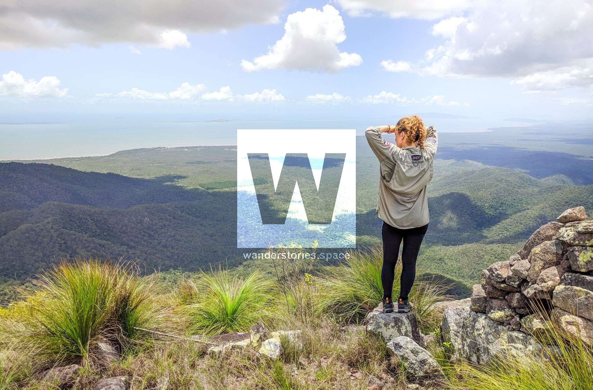
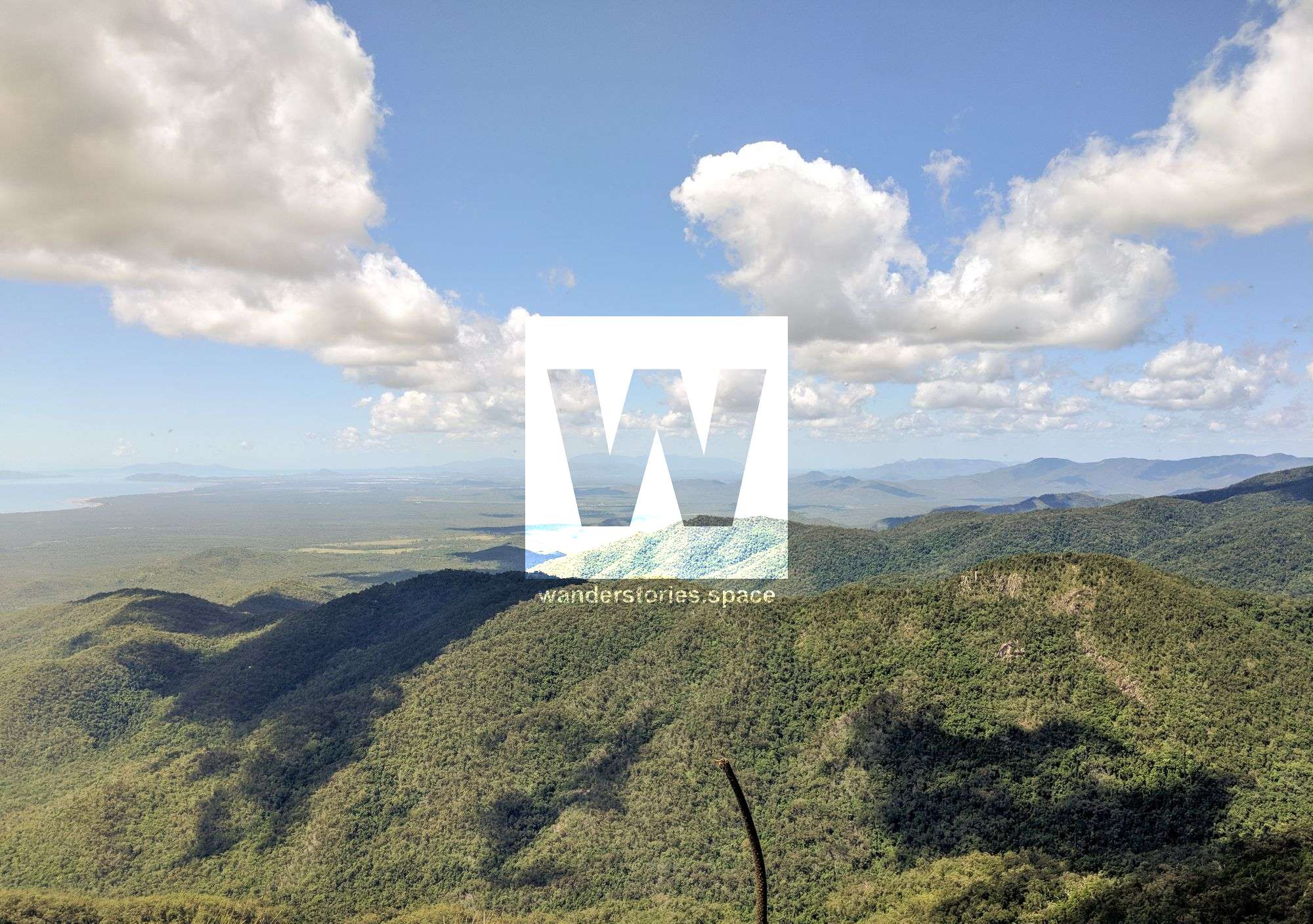
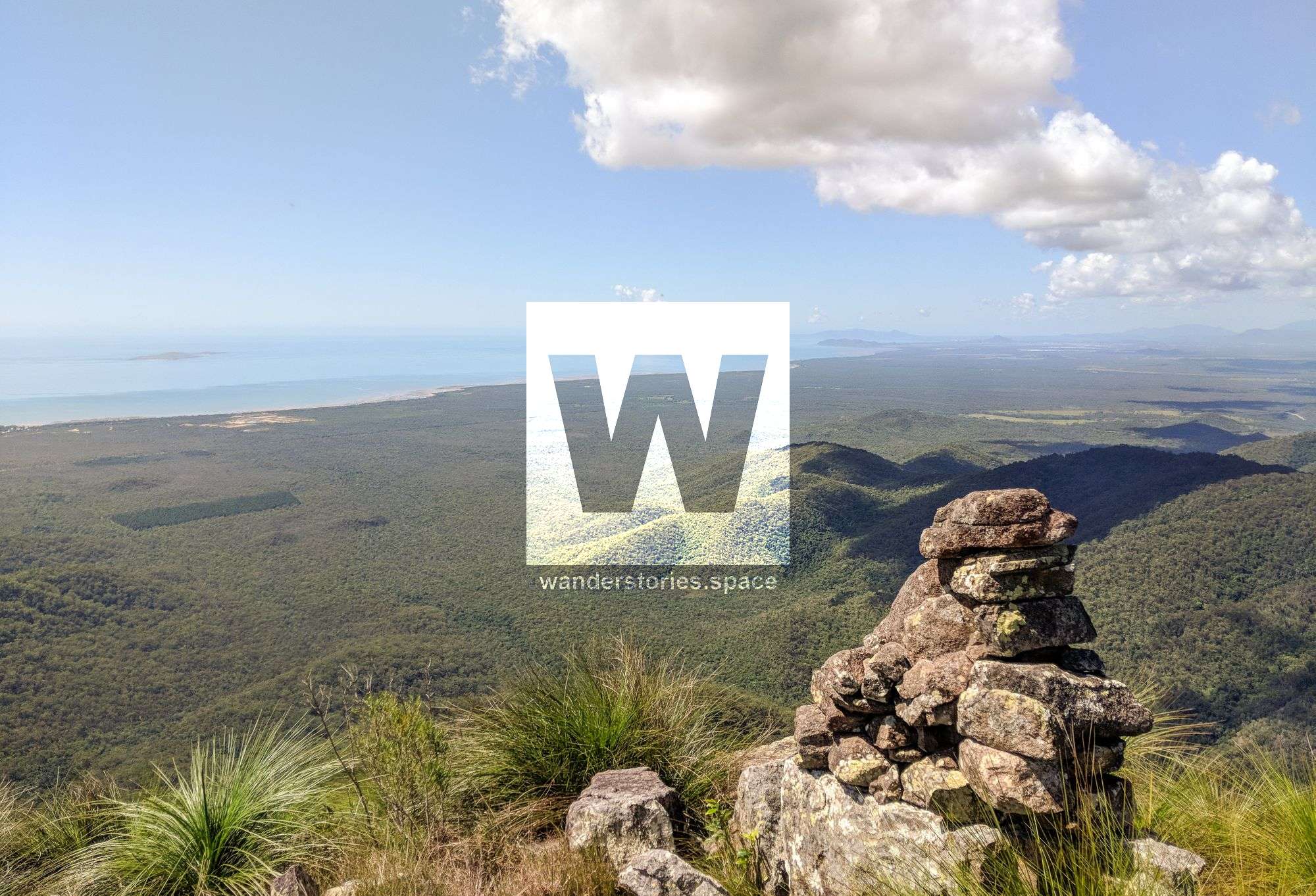
At 783 metres elevation and about 8 km of hiking, Godwin's Peak has to be the best mountain summit in all of Paluma Range National Park and is certainly a magical part of North Queensland. You'll be rewarded with 360-degree panoramic views of Mt Halifax, Townsville City, and the coast.


Location - Paluma Range National Park, Queensland, Australia
Distance - Approximately 16 km return with over 1,000 metres total ascent and total descent
Time - Approximately 6 to 12 hours return depending on fitness and breaks
Grade - 4, difficult and strenuous
Type - On-track, but unmaintained, bushwalking
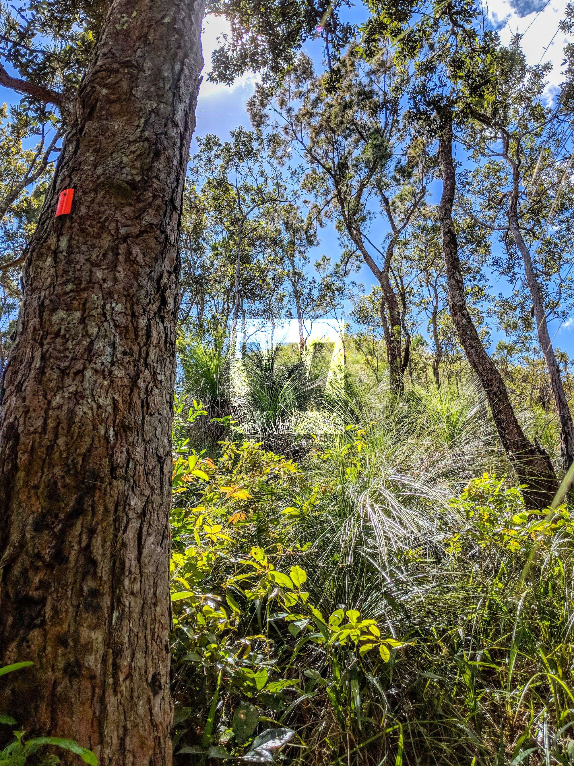
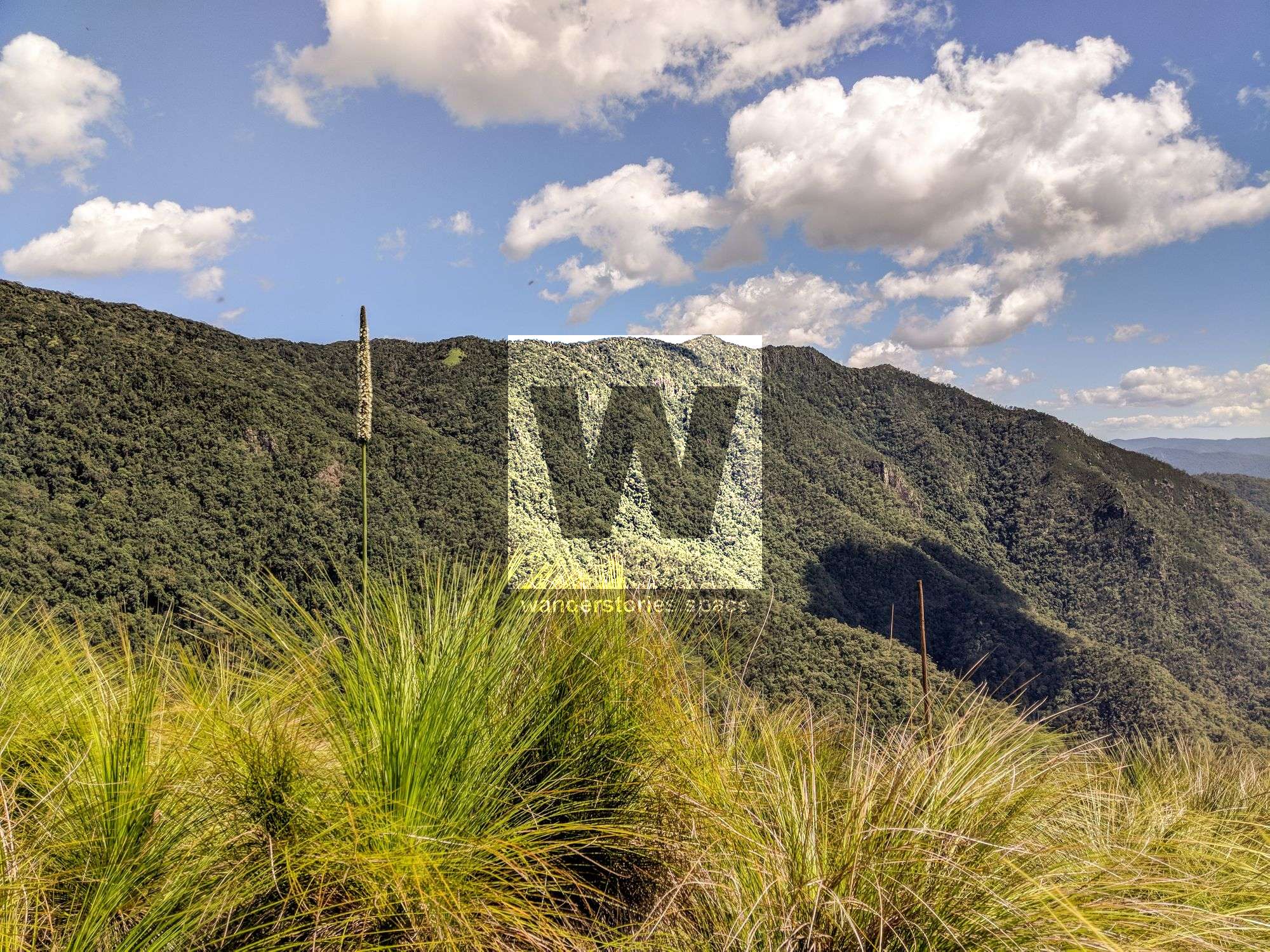
Godwin's Peak has to be the best mountain summit in all of Paluma Range National Park. You'll be rewarded with 360-degree panoramic views of Mount Halifax, Townsville City, and the coast. And, on a clear day, you can easily see Mount Marlow (Pallarenda), Mount Stuart, Castle Hill, and Magnetic Island from the top. At 783 metres elevation and about 8 kilometres into the walk, Godwin's Peak is certainly a magical part of North Queensland. It has a bald summit with vegetation that is different from the other peaks in the area; it is covered in grass and small grass-trees (Xanthorrhoea spp.). The lack of trees is what gives you the magical, 360-degree panorama that you would expect from alpine environments.
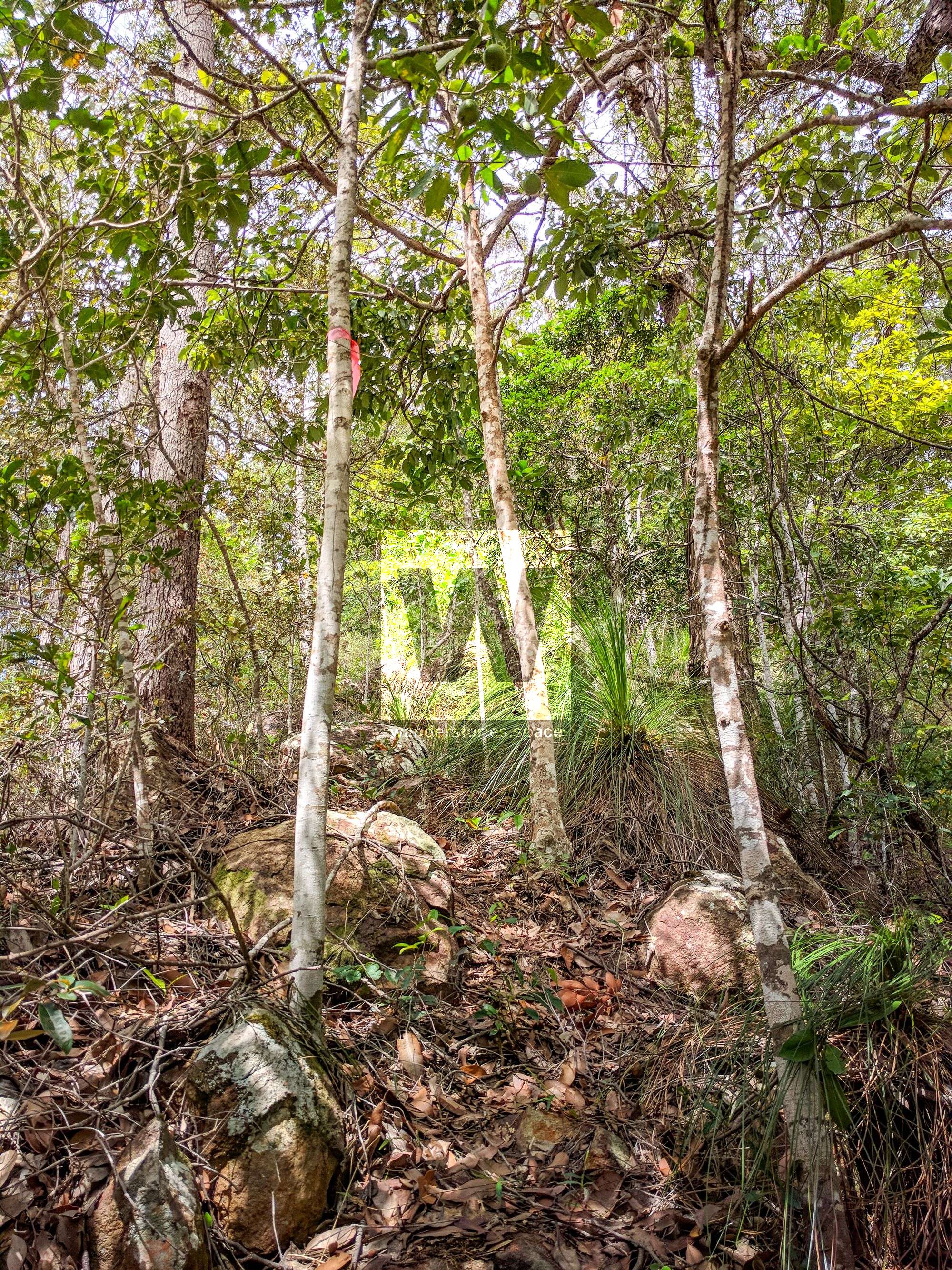
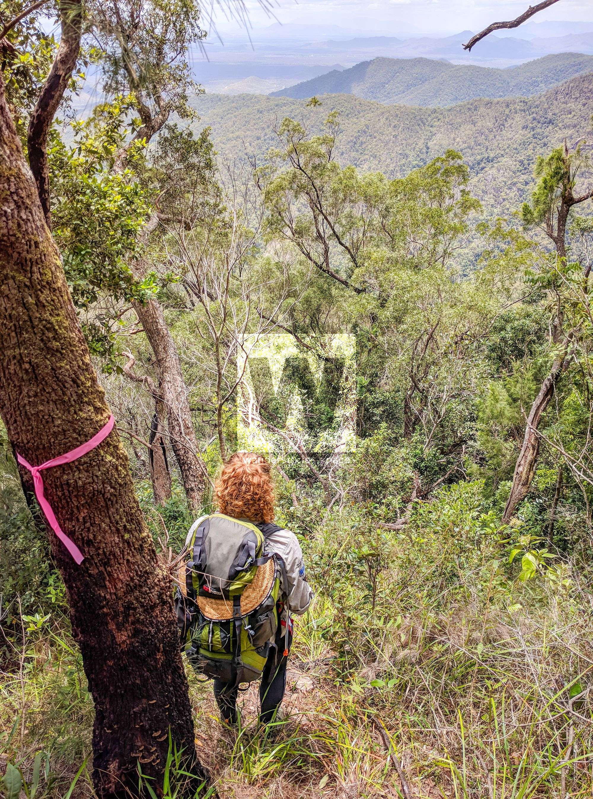
However, it's a strenuous walk, and you'll need to be fit to climb up some steep hills. Plus, the bush track is rough and uneven underfoot. But, it is fairly well-marked with orange and yellow metal reflective markers and pink tape. However, sometimes the track is just a marked route with no defined track. Additionally, at times, you'll be in the creek rock hopping. Therefore, ensure you are comfortable with navigation before setting out on this trek. You should also take secateurs to cut your way through sections where trees have fallen (don't do this within National Park).
This walk is doable in one day return.
Highlights of the walk
- Views from the summits
- Walking through Clement State Forest
- Watching the vegetation change as you progress to the summit in Paluma Range National Park
- Twin Falls and Pick Falls with magical swimming pools
Interactive map
Here's an interactive map of the route:
Brief History
The Godwins Peak Track was started August 2016 and completed June 2017 by Michael Mohring and company. The track to connect Godwin's Peak with Mount Halifax was started August 2016 and finally the clearing and marking was completed September 2019. Maintenance is still an ongoing process, so please consider taking secateurs to help keep these trails open.
Track notes
Please note that this is a very steep walk and should only be tackled by experienced walkers with all of the appropriate safety gear. Parts of the track have loose surfaces as well.
Park your vehicle on the side of the highway at -19.086946,146.448654. Or alternatively, park at -19.089422,146.452499. You can also park your vehicle in at -19.094088,146.458038 for a smoother road to ride bicycles in on. Do not block the gates. Some people also park in Toomulla for some extra distance.
Follow the forestry vehicle tracks in Clement State Forest for 4 kilometres. There is good shade for most of the walk once you leave the forestry vehicle track at Godwin TO1 (-19.108055,146.422745). It is also possible to ride a bicycle when the state forest roads are mowed. There is water in the creek at about 5 kilometres into the walk, so you may choose to only carry a litre or so at the start of your day. The state forest roads are sometimes unmaintained and the track from the road to the creek is hard to follow and not very well-worn, but don't let this discourage you as the track the rest of the way is great.
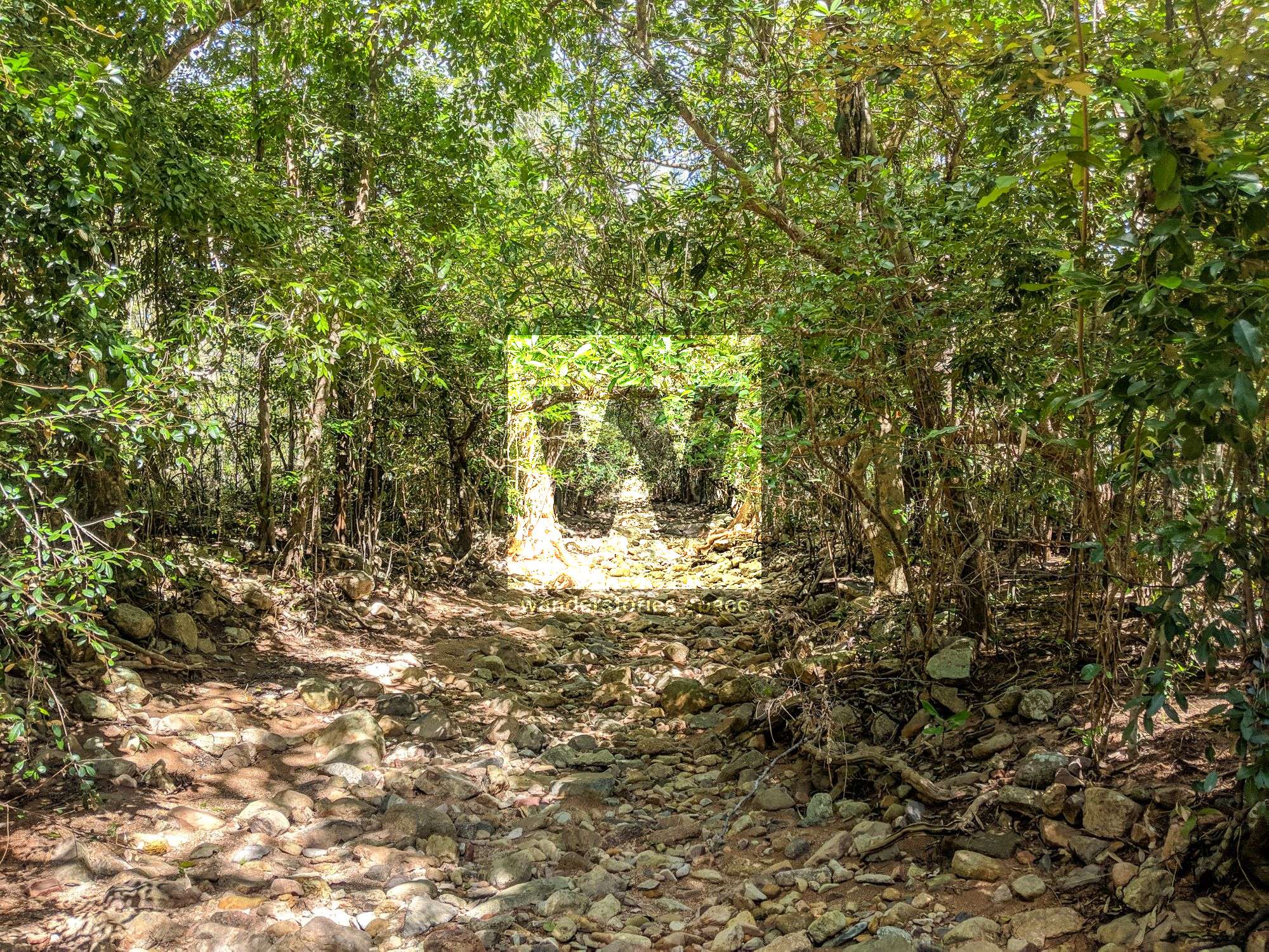
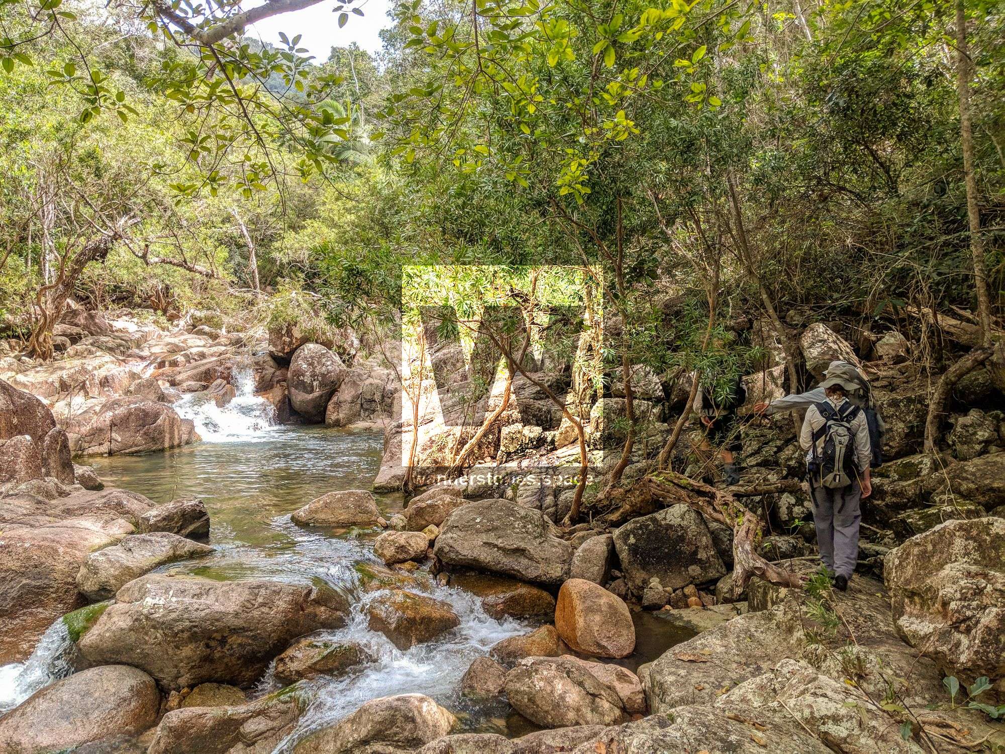
After 3.7 km from the northern starting point (and 4.6 km from the southern starting point) on the vehicle track (sometimes unmaintained), look for markers for Godwin TO1. Then, you'll be walking along the track through the bush and along creek beds. You then have about 350 metres of stumbling through rocky woodland, creek crossing (usually dry, but has water after a bit of rain), and then you'll cross the main creek. At this point, turn right to the SW, and follow the track parallel to the main creek.
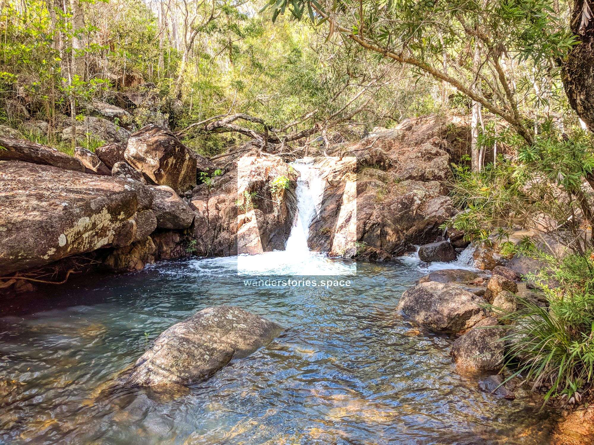
After another 350 metres, you will cross the creek for a bit and then cross back to the south side for about 500 metres. After this, you'll cross back over to the north side where you will come across plenty of water. Proceeding another 250 metres, you will arrive at Twin Falls.
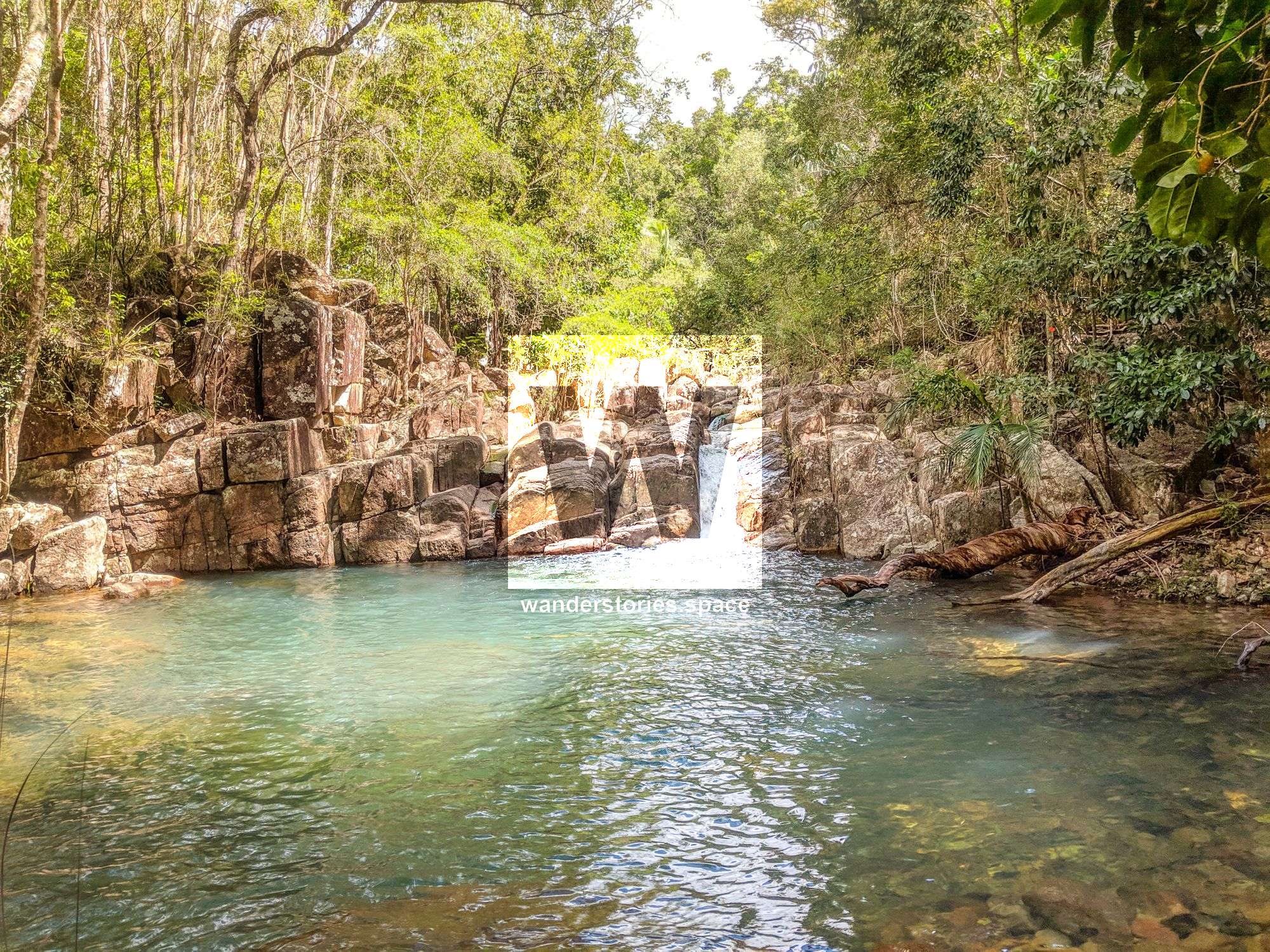
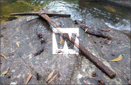
Follow the track for another 200 metres yet to encounter Pick Falls. This was named as such because the team that was originally marking the track (~2005 or so) found an old miners' pick here. This could have been from the tin mining days in the late 1800s.
Follow the creek yet another 300 metres to Godwin Base Camp, which is where you will have your last chance for a good water source.
Now, you should be about 6.5 km into the trek and at approximately 190 metres in elevation. Get ready! This is where the steep climb commences; grades may be up to 60% near the top, along the ridgeline. Here, you have two choices. For the first option, proceed along the track up a steep bank to the N. Then follow a contour W for 200 metres, where the track drops back in and crosses a tributary creek. Or, for an option with a little more rock-hopping, just continue via the tributary creek from the base camp, which proceeds in a NW direction. With this option, you'll encounter a few high ledges to scale at the very start, but then it eases up a bit. If taking this option, be sure to look for the markers to exit the creek on your left.
Regardless of which option you choose, the track will then continue up for 200 metres, which will be quite steep until you reach the ridgeline proper. At this point, you'll continue west, climbing, steadily for about 650 metres at which point the track will take a seemingly natural turn to the NW. Then, you'll steadily climb for next 750 metres passing king orchids (Dendrobium speciosum, also known as rock or cane orchids) and cymb orchids (Cymbidium spp., also known as boat orchids).
The last 200 metres to the saddle is also pretty steep and rocky, but once you reach the saddle, turn right, head 100 metres NE, and you'll reach Godwin's Peak.
Enjoy!
When you leave, head back down into the saddle, and return via the same route. Or, you could continue to Mount Halifax or take the PRB Track.
What to bring?
You need to be self-sufficient in remote areas with this kind of rugged terrain if you are out hiking for the day. Ensure you have a map and compass (and/or GPS) as well as safety and communications devices like a first aid kit and PLB (or EPIRB). Carry adequate water for the whole day. Or, refill in the creeks and sterilise/filter your water as you go. If the summit is clouded in, it can be wet and cold at the top, even in summer months, so take a raincoat and jumper just in case.
The first generation markers have all been replaced with illumination markers so they can be seen at night. But, a torch is a must for all trekkers.
After your hike, make sure you check yourself and your partner for ticks and leeches. Also, be cautious of snakes when walking; learn how to handle a snake bite, and carry compression bandages.
This article, and all other articles, are for entertainment purposes only and are not to be used as a guide. Please see our Disclaimer for more information.