Bluewater Creek and Bluewater Gorge
Many people know of Bluewater for the four wheel driving along Forestry Road, access to the PRB track, and the swimming holes along the Bluewater Creek, but seemingly only a few know about the Bluewater Gorge.

Location - Paluma Range National Park, North Queensland, Australia
Distance - ~8 kilometres return
Time - Allow 3-5 hours return
Grade - 5 (AWTGS), medium to hard
Thank you to Doug Silke who is very knowledgeable of the area and for Doug's hard work at route finding, trail clearing, and leading the Townsville Bushwalking Club trip in 2011. The trail has recently been recleared in 04/2022.
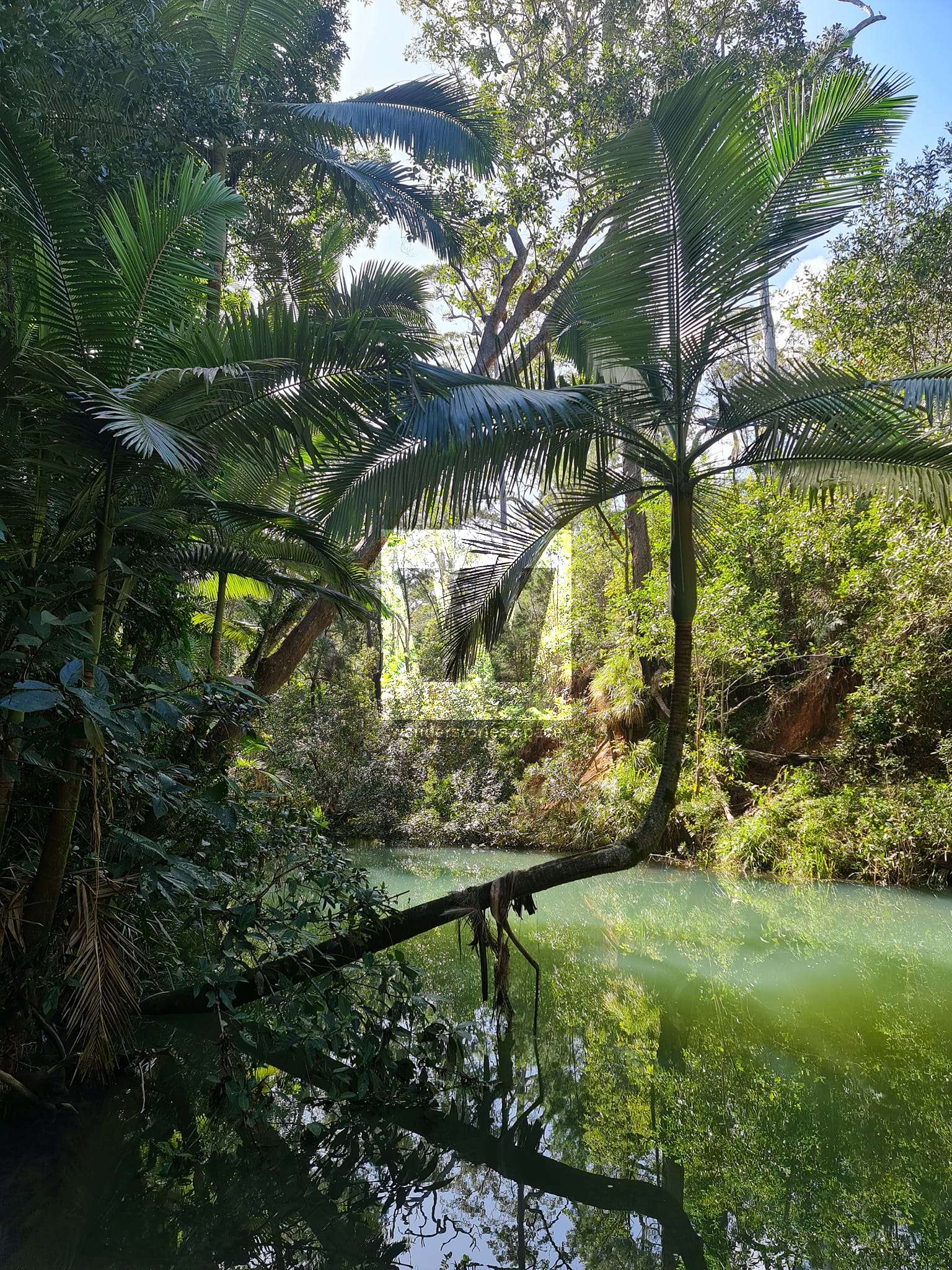
Many people know of Bluewater for the four-wheel driving along Forestry Road, access to the PRB track, and the swimming holes along the lower Bluewater Creek (watch out for crocs), but seemingly only a few know about the gorge. This should not be confused with Pine Creek, which is the little swimming area near the bridge before you head up the range.
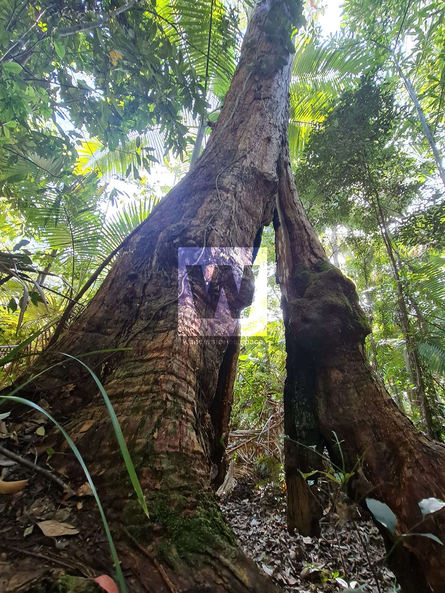
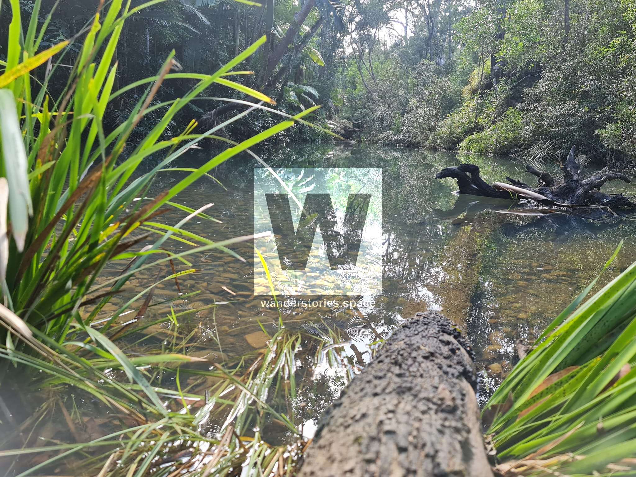
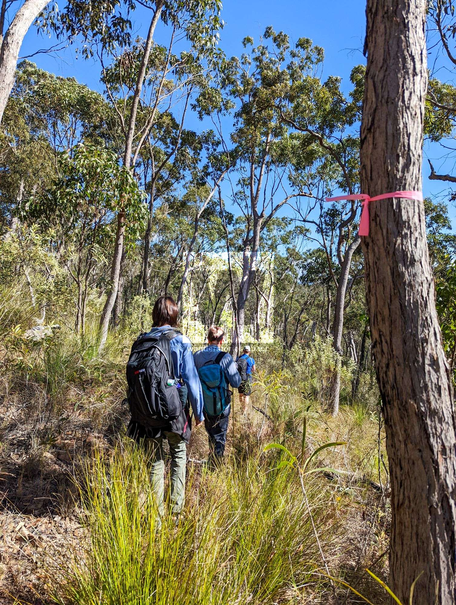
The terrain is tough and the bush bashing hard. There is lots of lantana, vines, native ginger, long guinea grass, fallen trees/branches. The trail traverses several small gullies and over a usually dry creek. Not many people venture here.
The Townsville Bushwalking Club walked from Keelbottom Creek to Bluewater Gorge in 2010. They have also done the Twin Gorges Walk which links up Bluewater Gorge and Patterson Gorge.
This can be done as a throughwalk or by walking to the gorge and returning via the same route - which is commonly done. To do the throughwalk, park one vehicle at the bottom of the range and walk up the old logging road or set up a car shuttle.
Interactive map
How to get there
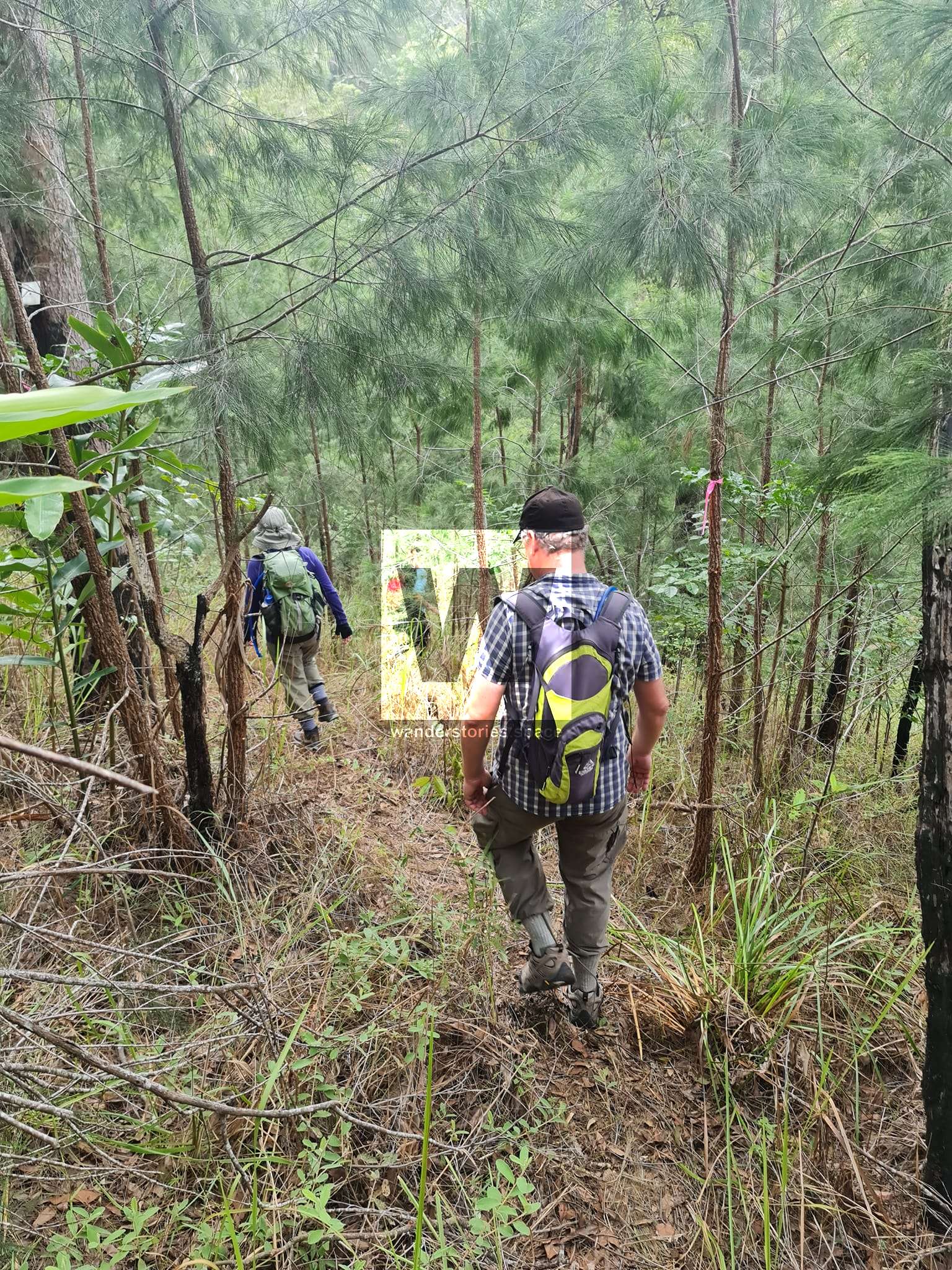
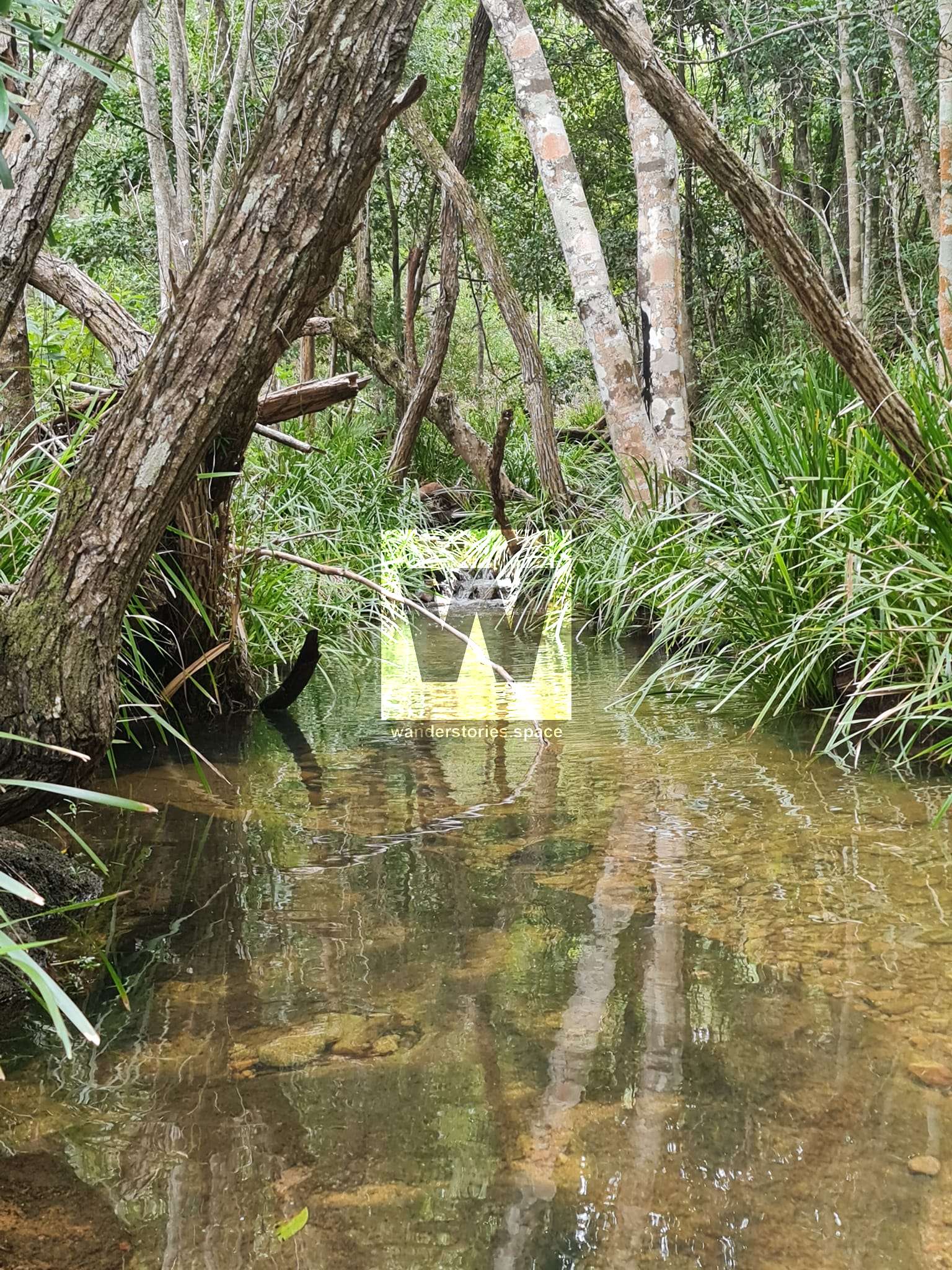
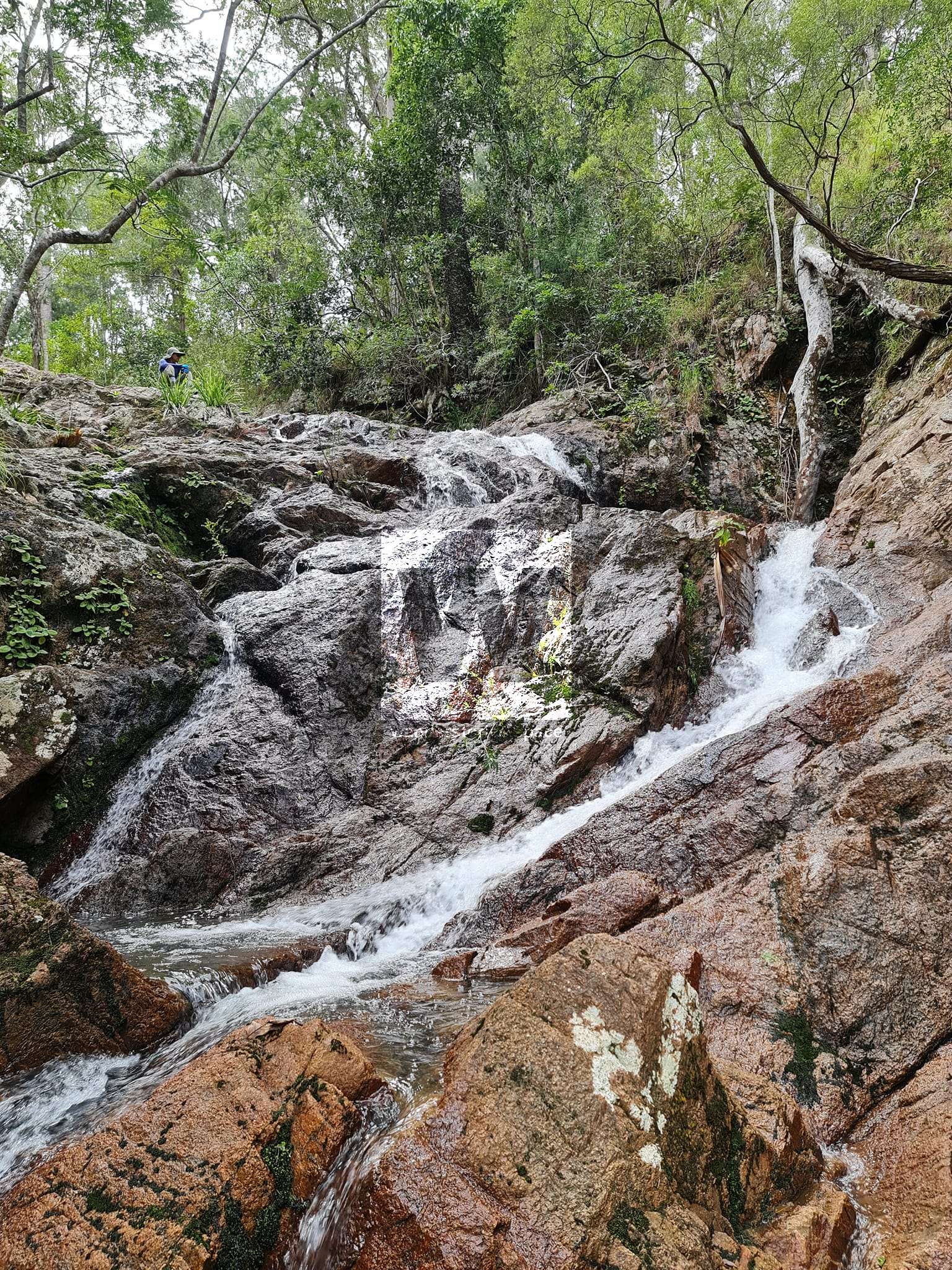
Follow the marked route (which is not a well-formed track and is currently overgrown) alongside Keelbottom Creek East Branch for 700 metres. Then turn left and head south-east for the saddle, through rough terrain, long grass, logs, and fallen trees, cross saddle (a lot of cyclone damage this area, previously shredded trees). The saddle is the delineation between west and east flowing creeks. Over the saddle, walk alongside a small creek. Follow the creek down until you reach the scout campsite.
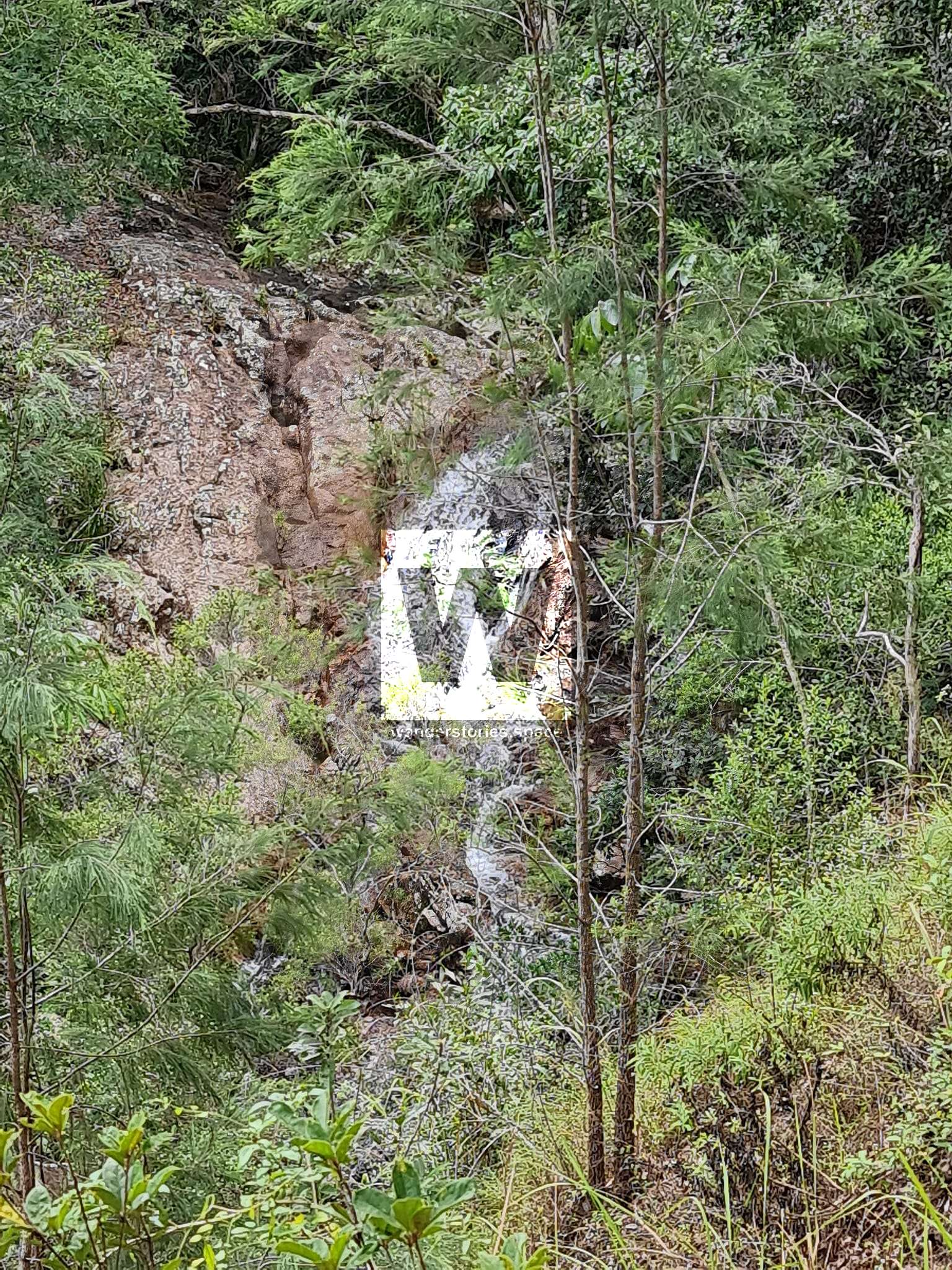
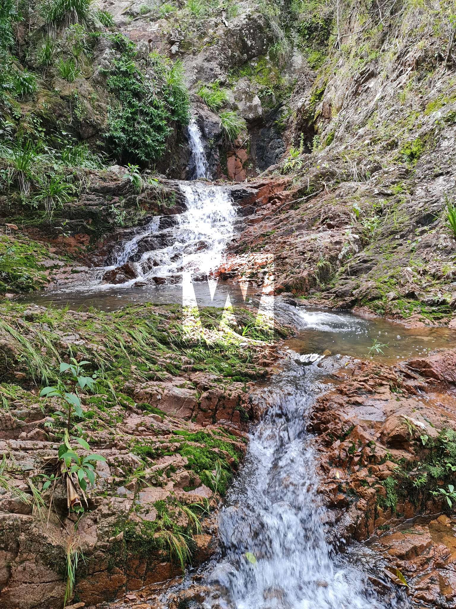
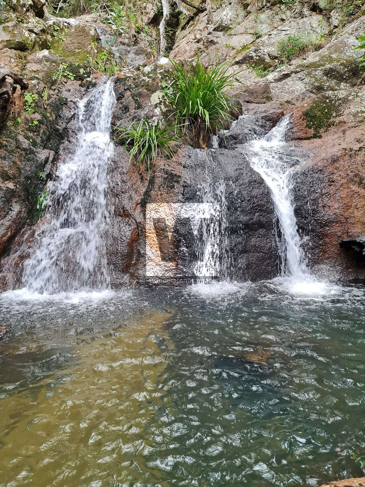
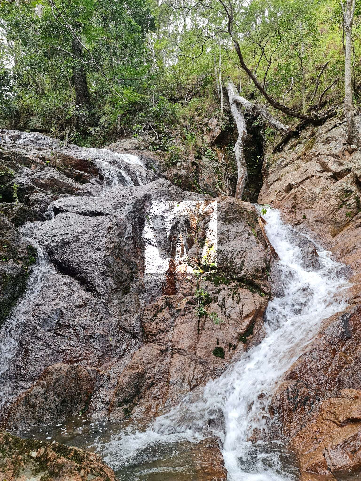
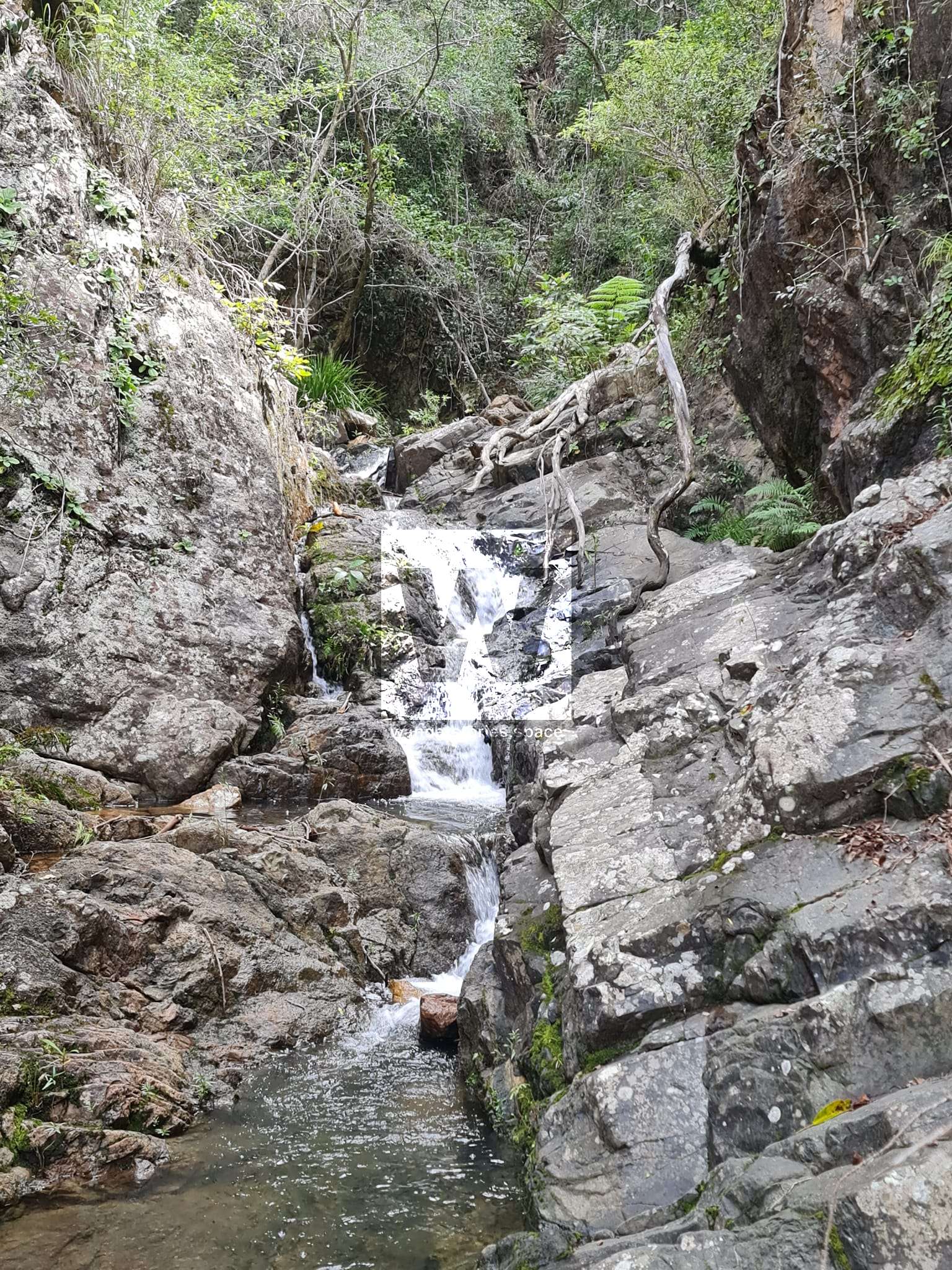
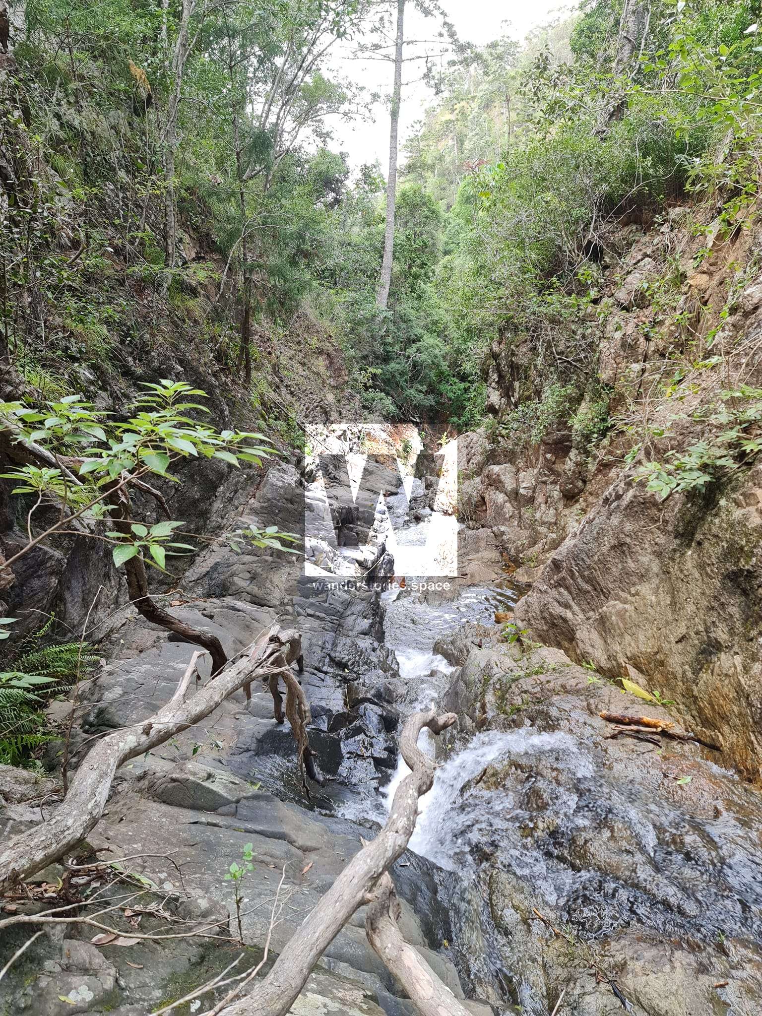
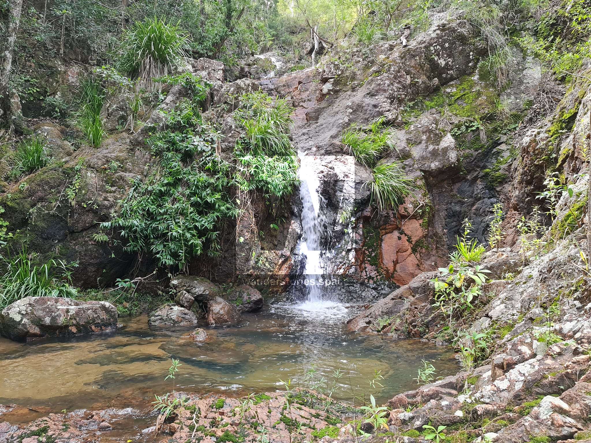
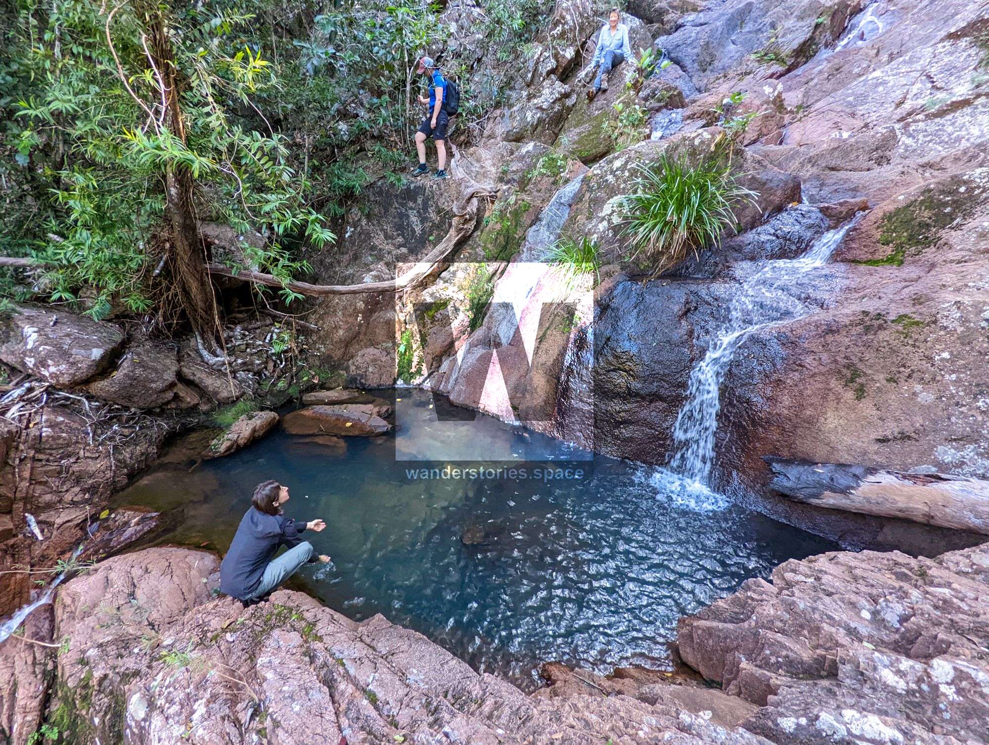
From trail entrance at dirt road, 1.5 hours, 2.5 kilometres walk. The campsite is adjacent to a small creek (the headwaters of Bluewater Creek) with small cascades, that drop down a series of small falls into the gorge. The campsite is at an altitude of ~560 metres.
After a break, explore the area in close proximity to find lookouts and views down the gorge. Walk into the creek and down the cascades and falls to a lovely pool at the bottom. Return up the slope to camp (this trail is very steep with loose rocks and soil).
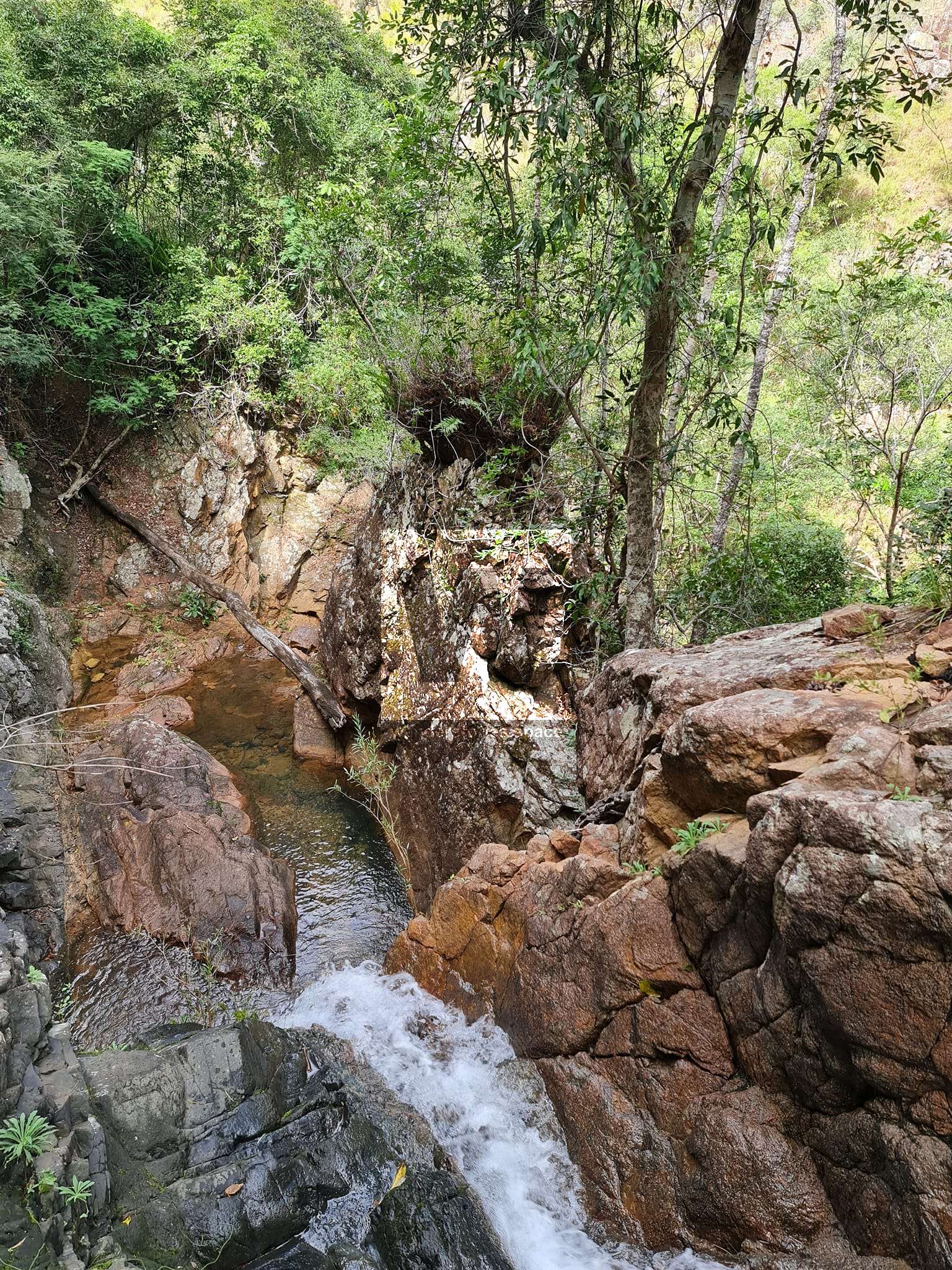
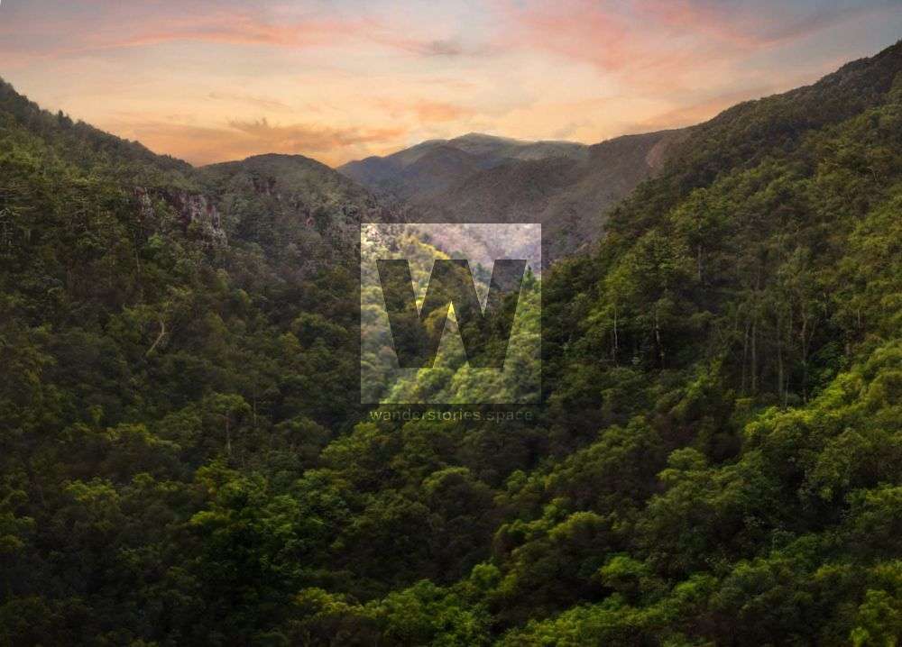
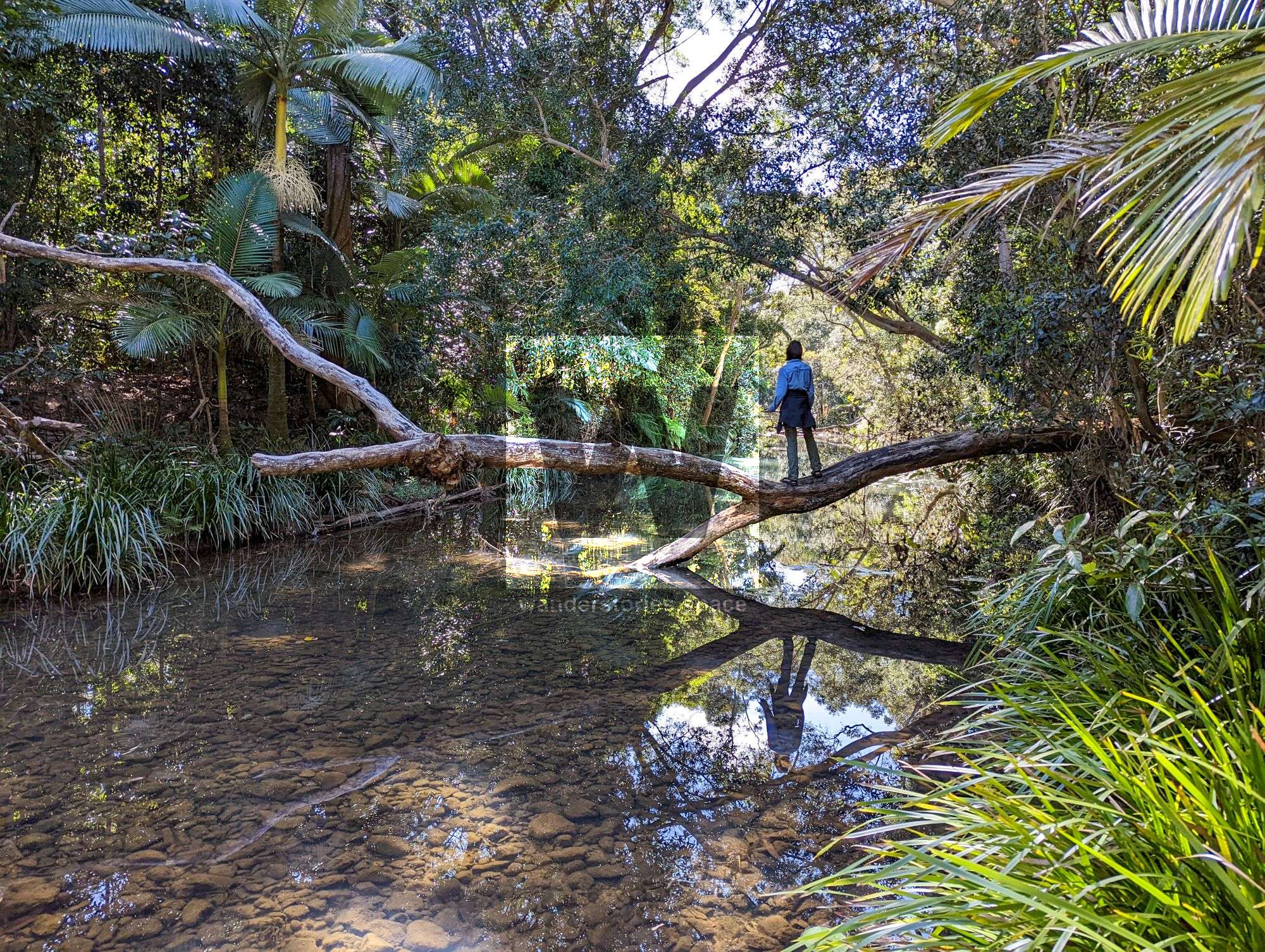
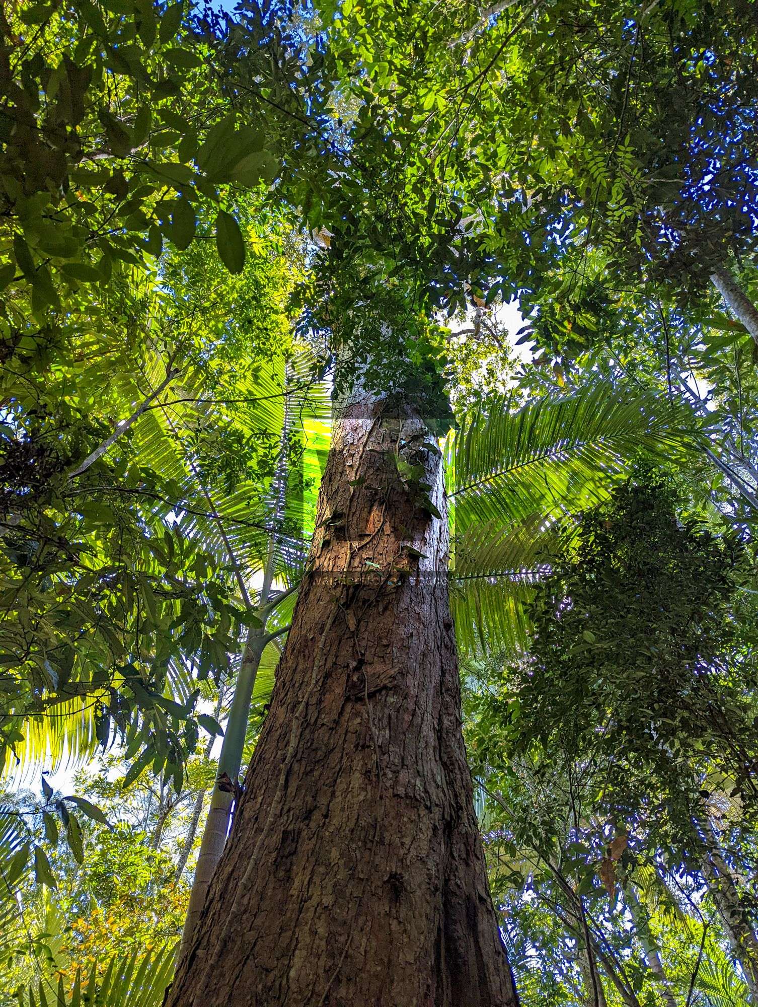
Hoop pines and rainforest plants are prevalent in the gorge, with eucalypts and ironbarks and other types up top. The gorge itself is about two kilometres long, 300 metres wide, and approximately 200 metres deep. A viewpoint is hard to find from within, though there are several along the perimeter to see the gorge in all its glory. There's a lookout point with a sheer-sided cliff and grand views of the gorge. The scouts held outdoor trips teaching navigation and bushwalking skills. The scouts set up camp close to Bluewater Gorge and often explored around the gorge.
This article, and all other articles, are for entertainment purposes only and are not to be used as a guide. Please see our Disclaimer for more information.