Carrington Falls and Wharton's Lookout
Carrington Falls and Wharton's Lookout is located near Atherton and provides views across the sclerophyll forests.

Location - Atherton, Far North Queensland, Australia
Difficulty - Grade 3/4, on-track
Distance - Approximately 6 km return depending on route
Time - Allow 2 hours return
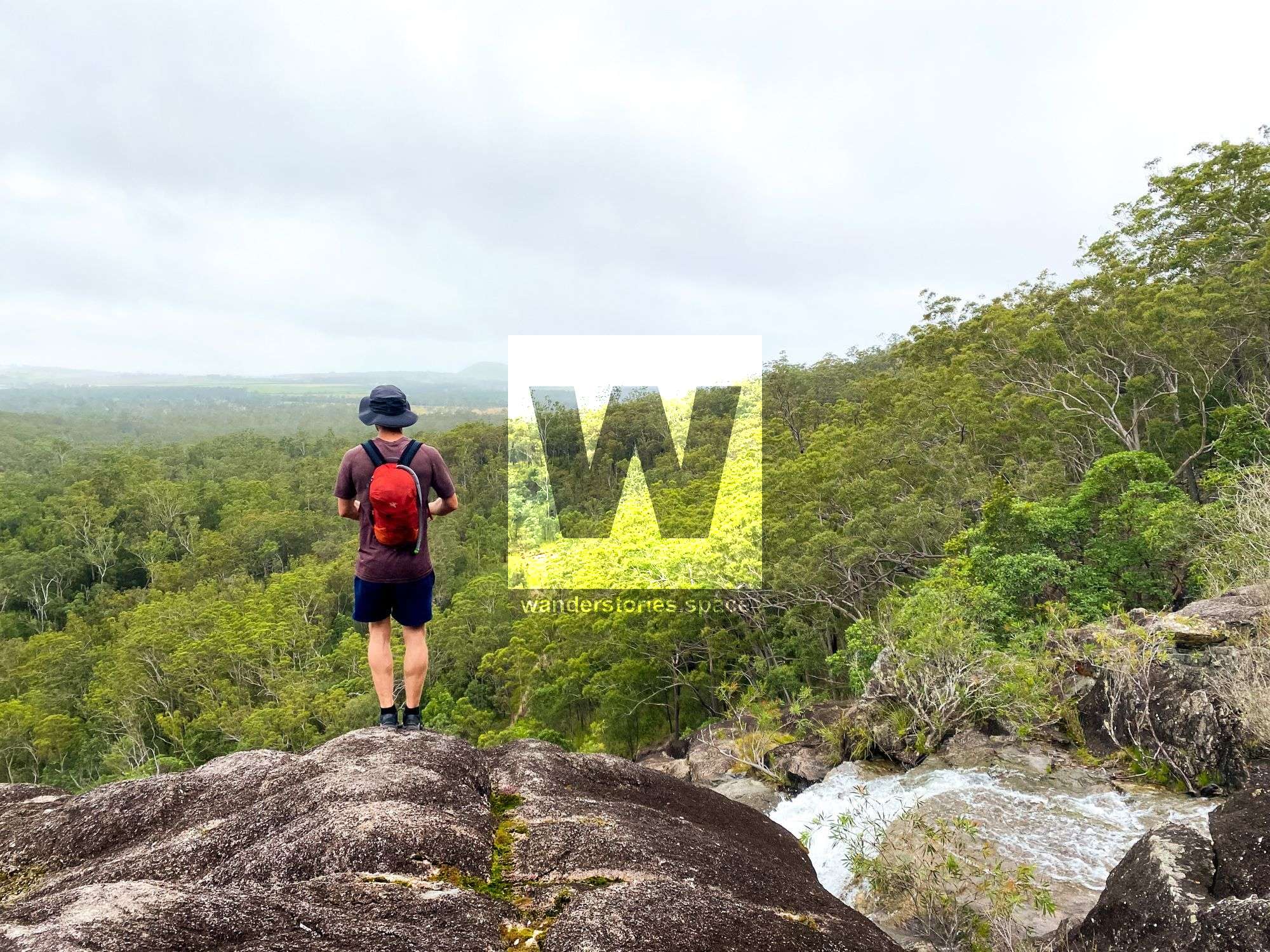
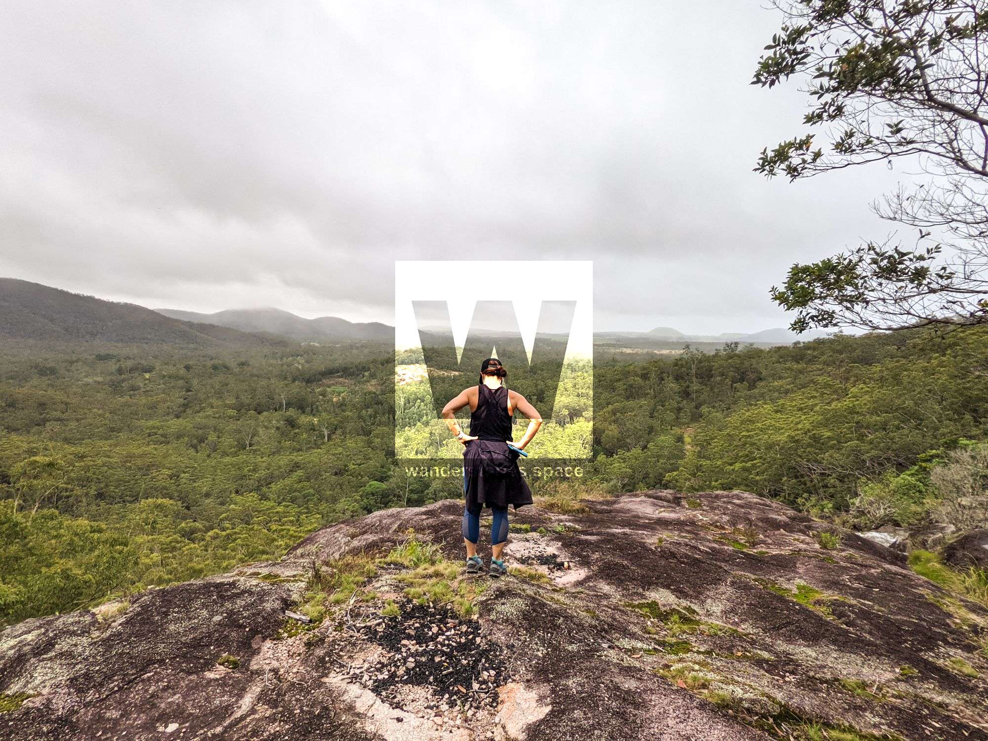
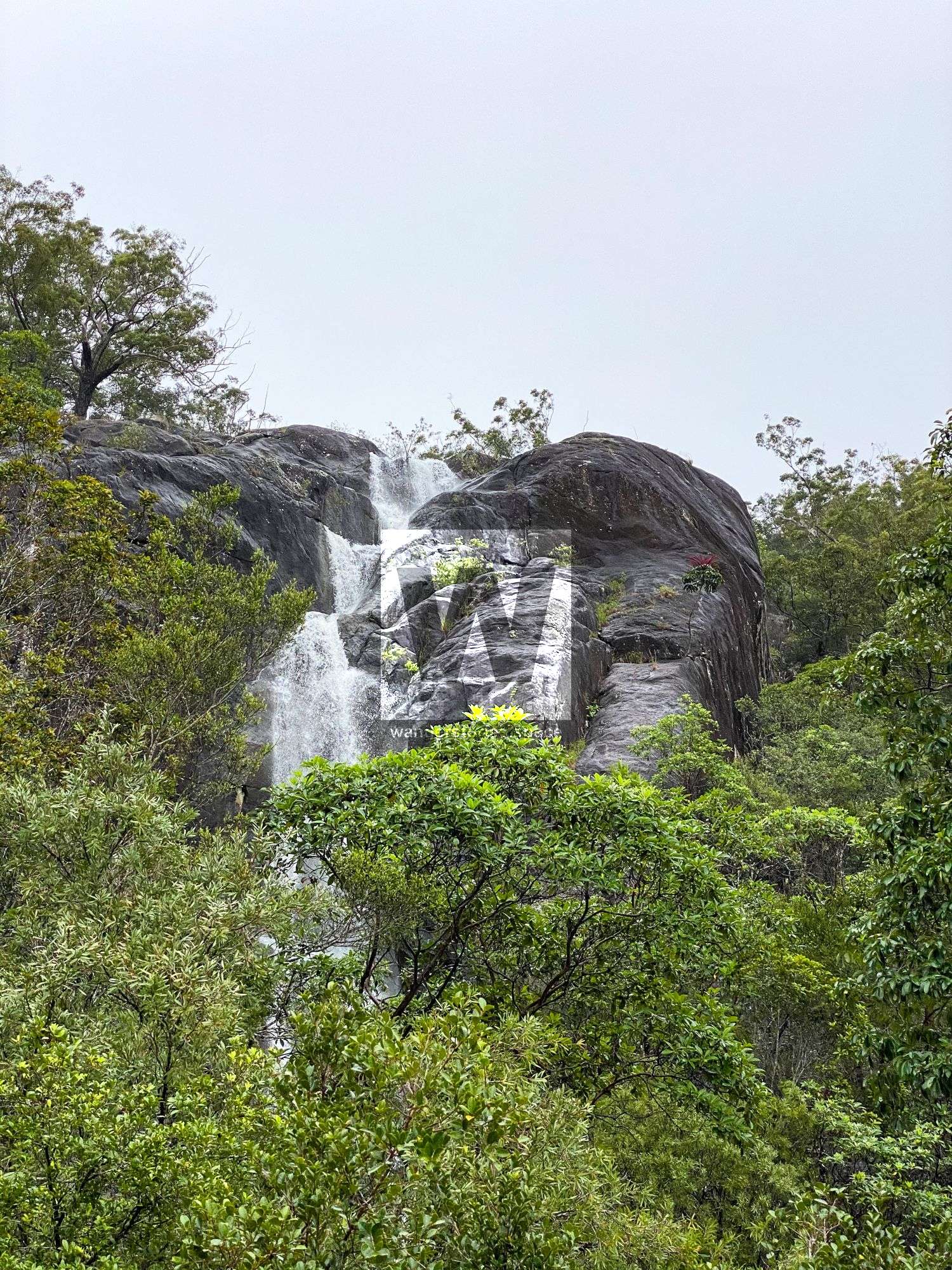
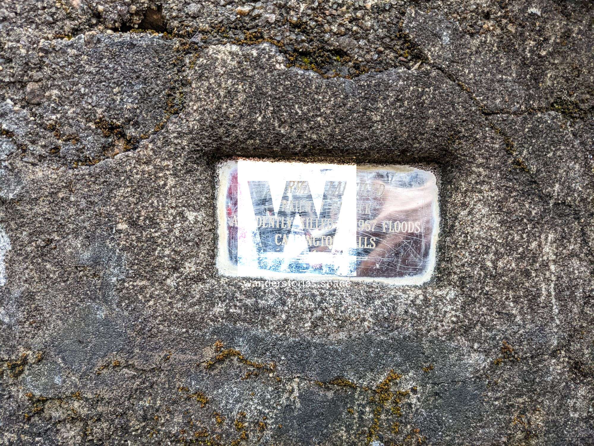
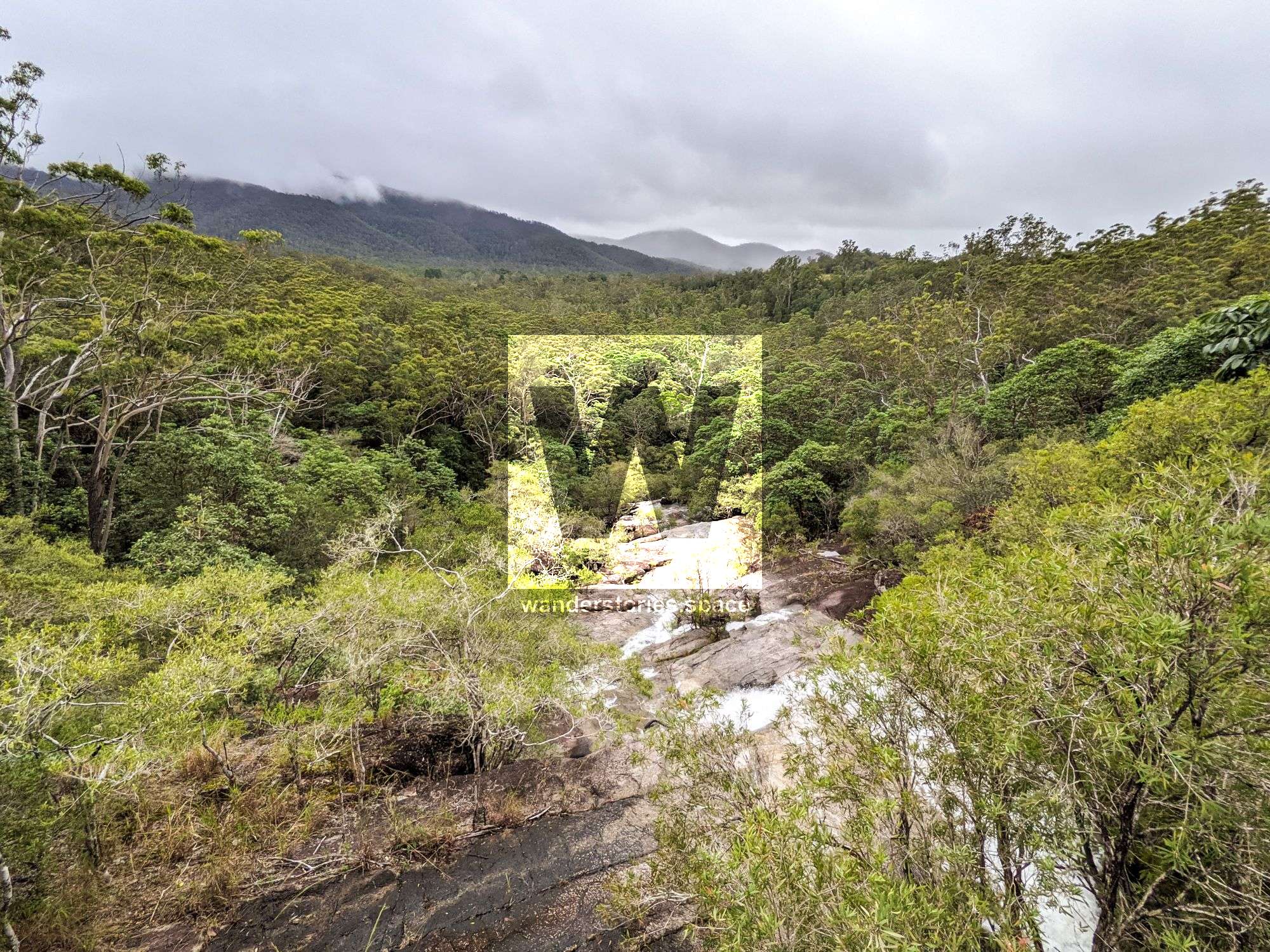
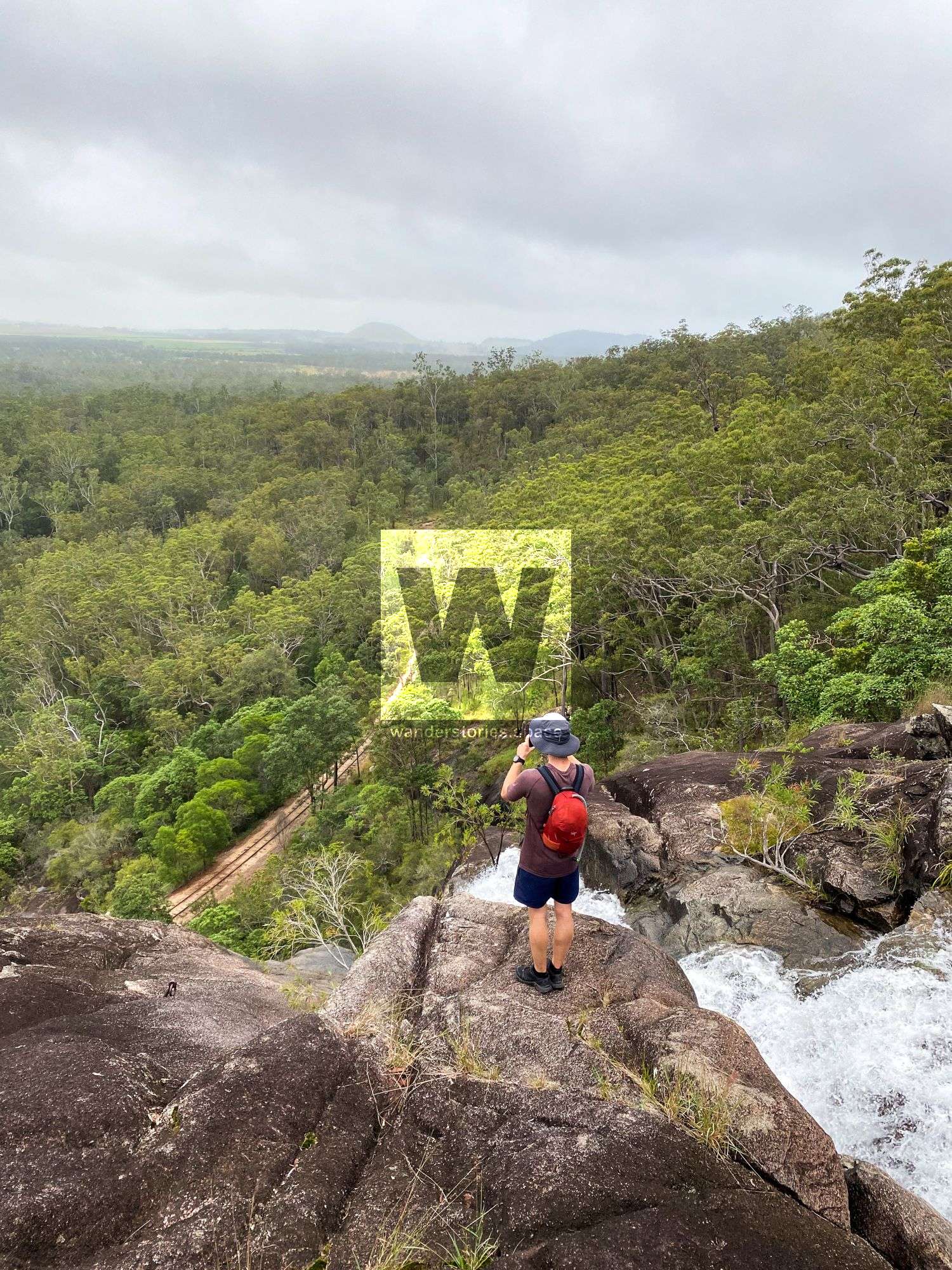
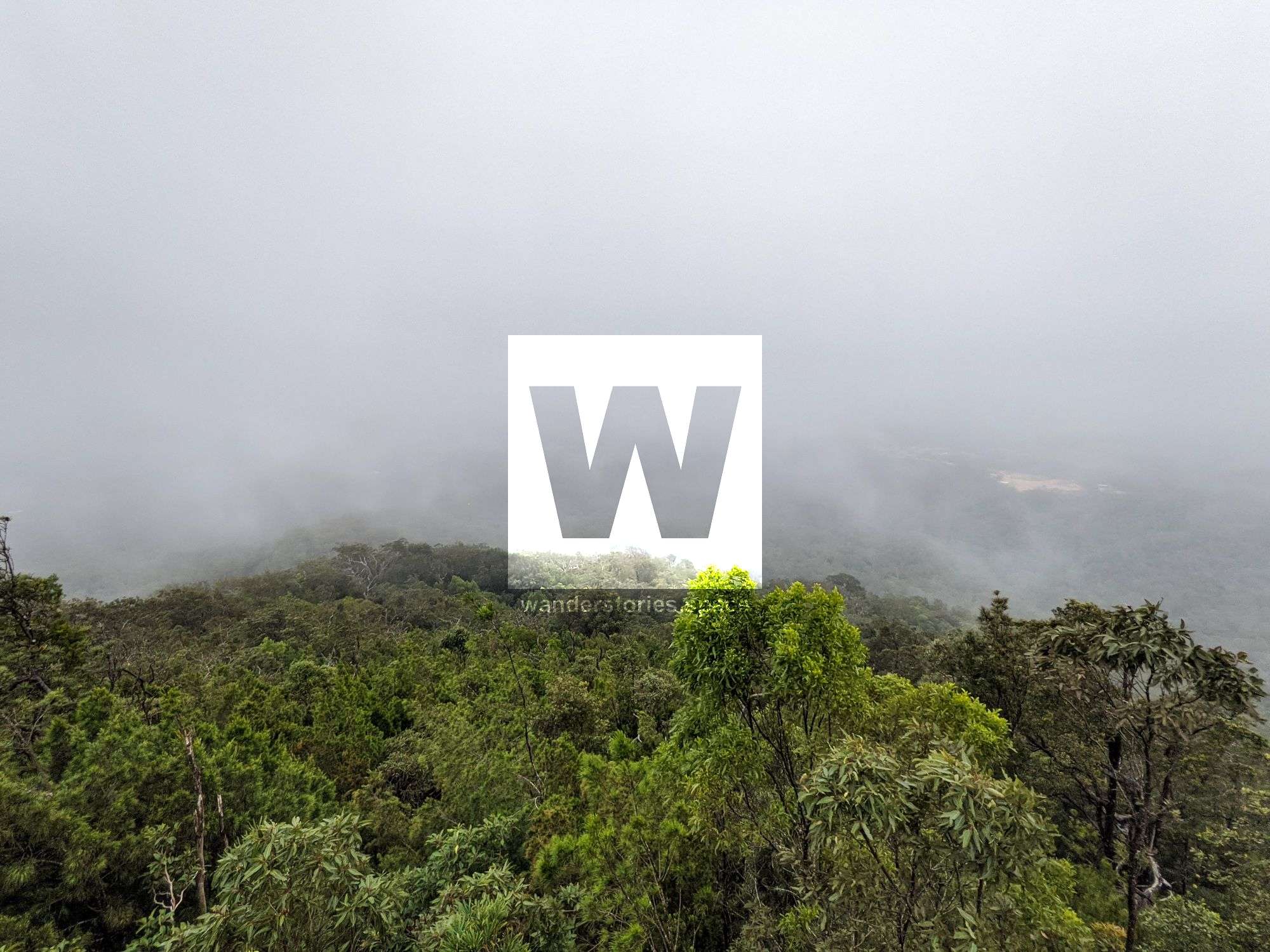
Carrington Falls is located near Atherton and may not be as big and grand as others but is historic. Wharton's Lookout looks back across the sclerophyll forest and the Herberton Range and is also shown on some maps as "Cattle Camp Lookout".
How to get there
There are many starting points:
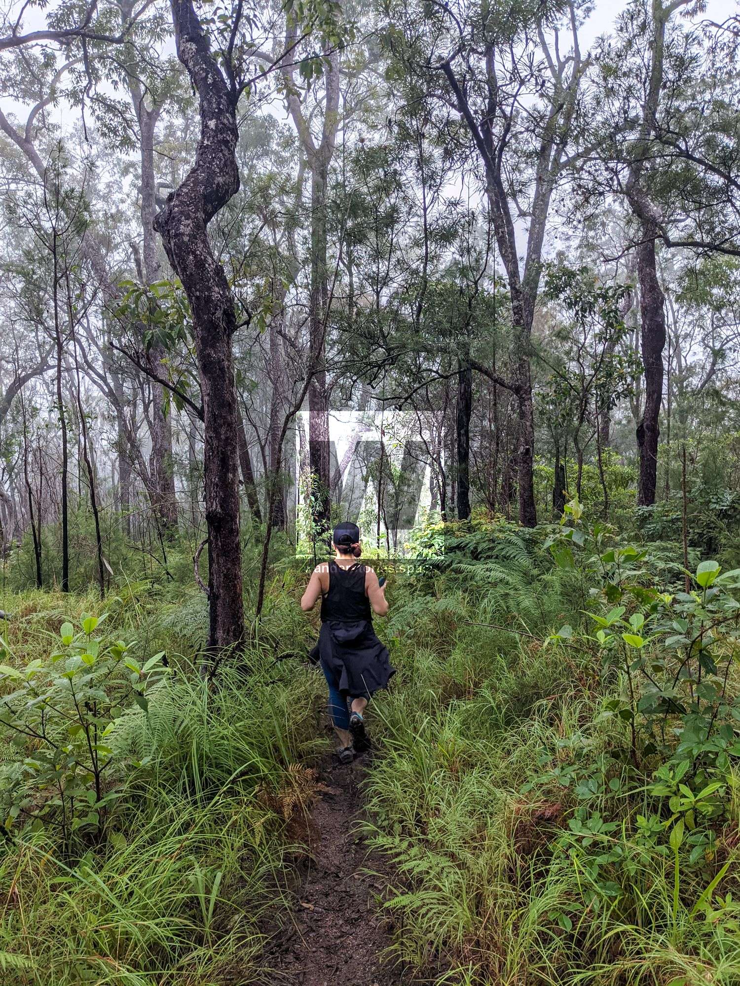
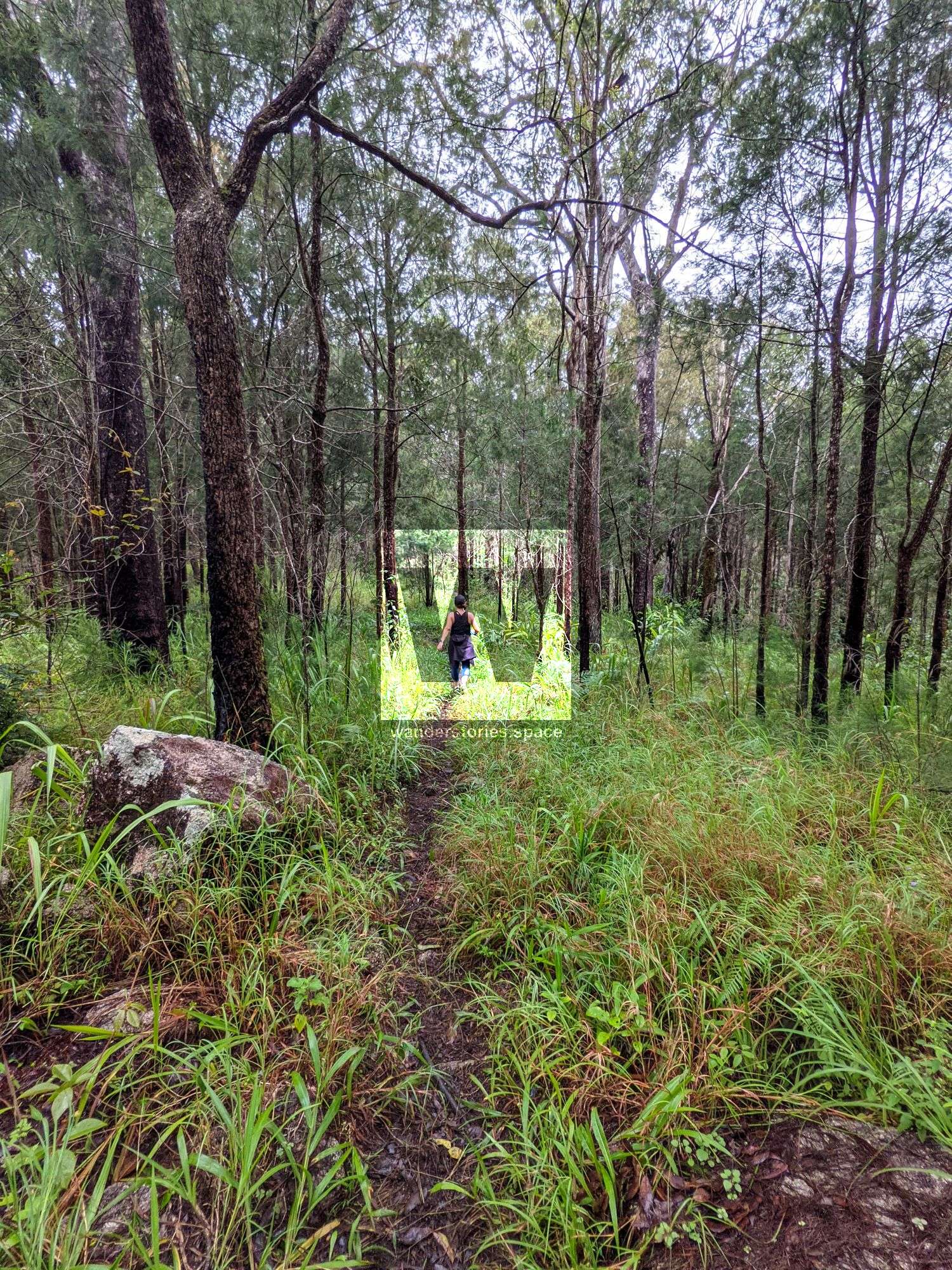
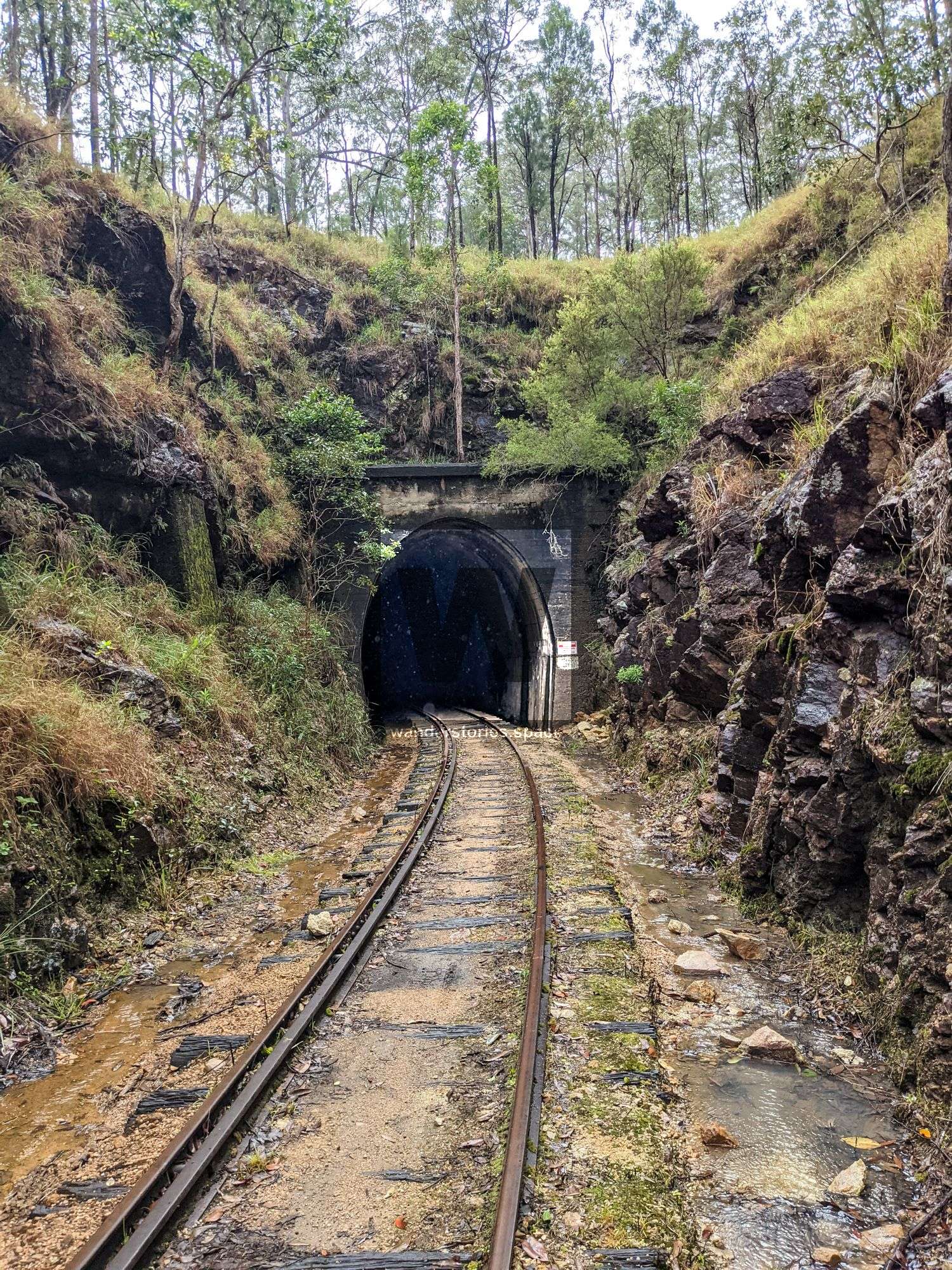
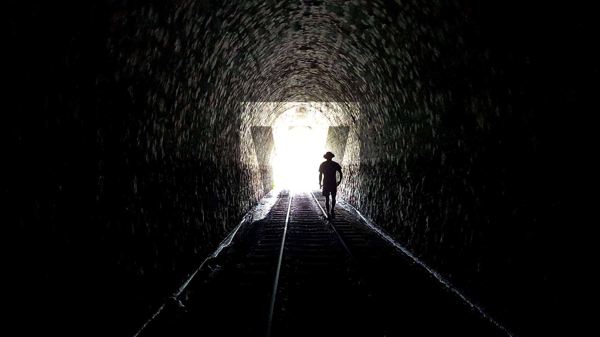
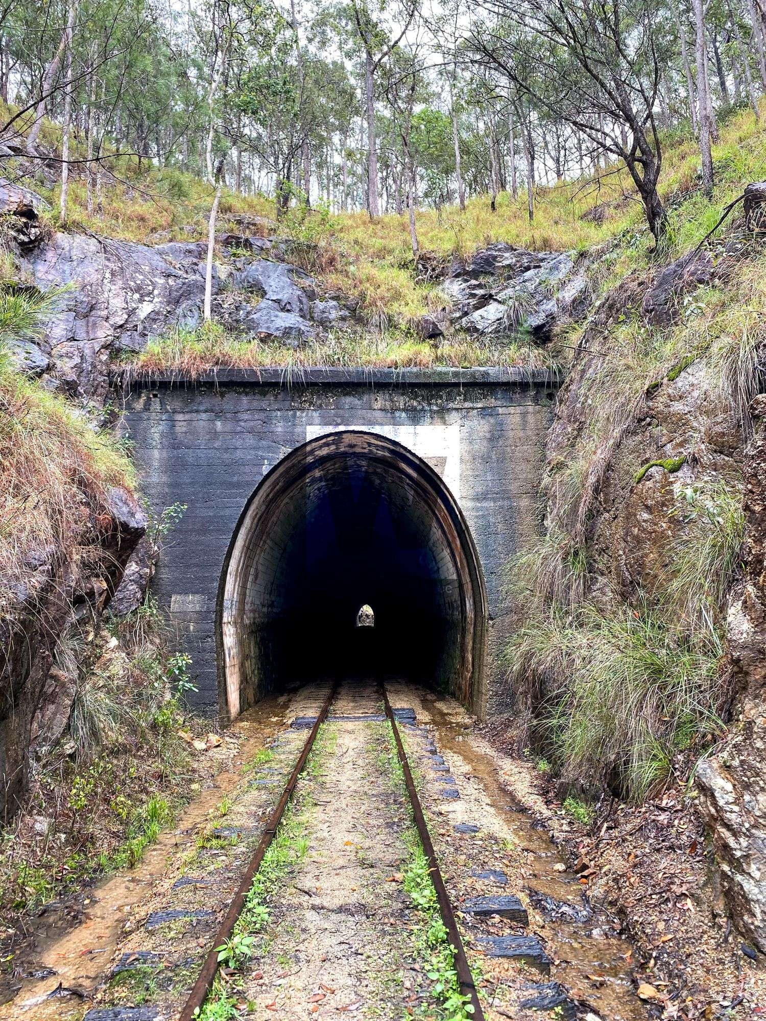
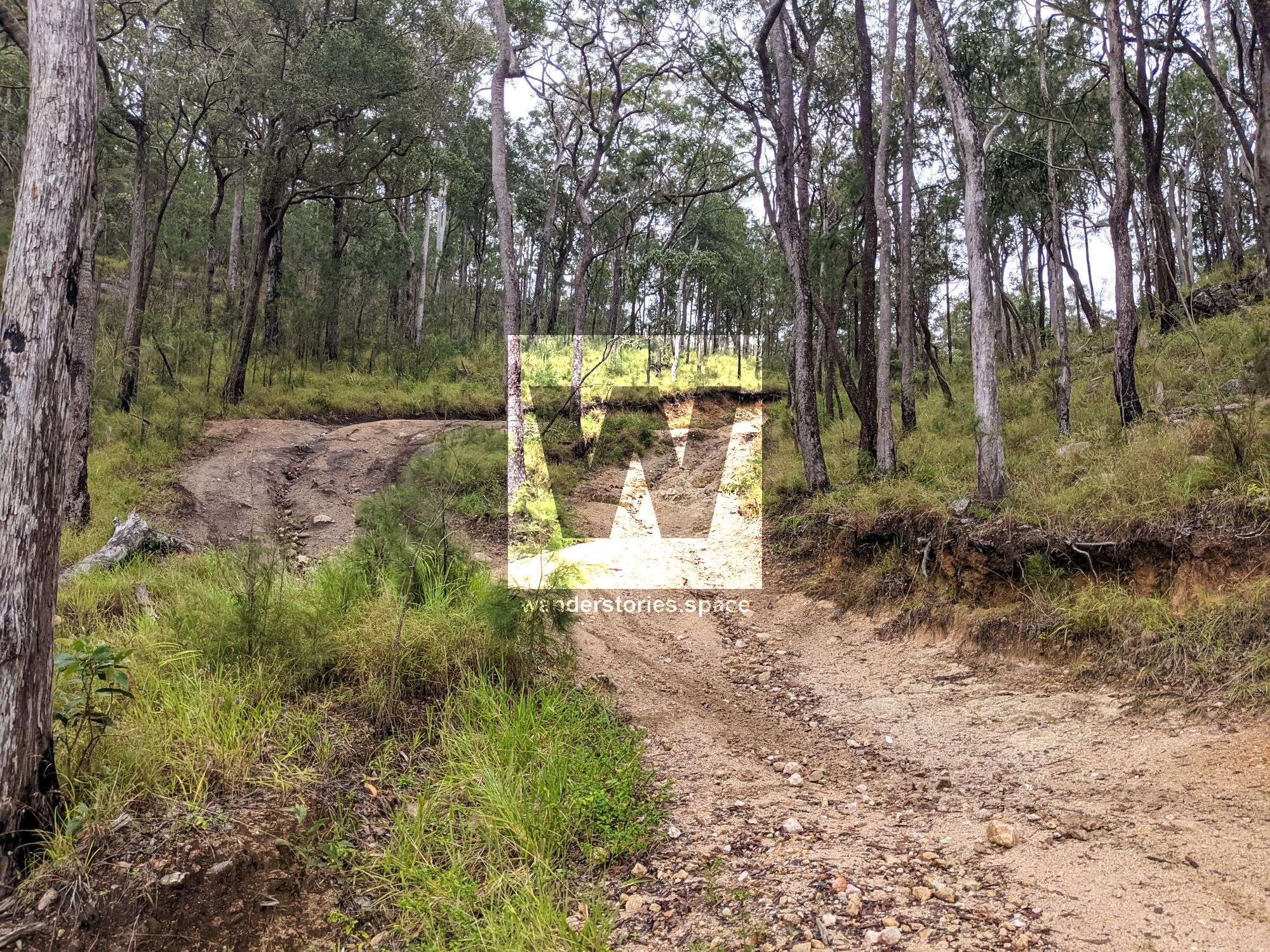
- Enter in via the abandoned rail line, which is flat but longer
- Enter in via the old quarry, which seems to have been fenced off now and is steep but shorter and the many trails may make navigation harder.
- Entre via the Train Tunnel towards Herberton
Have a look at the interactive map below and choose the trail you would like to take to the falls.
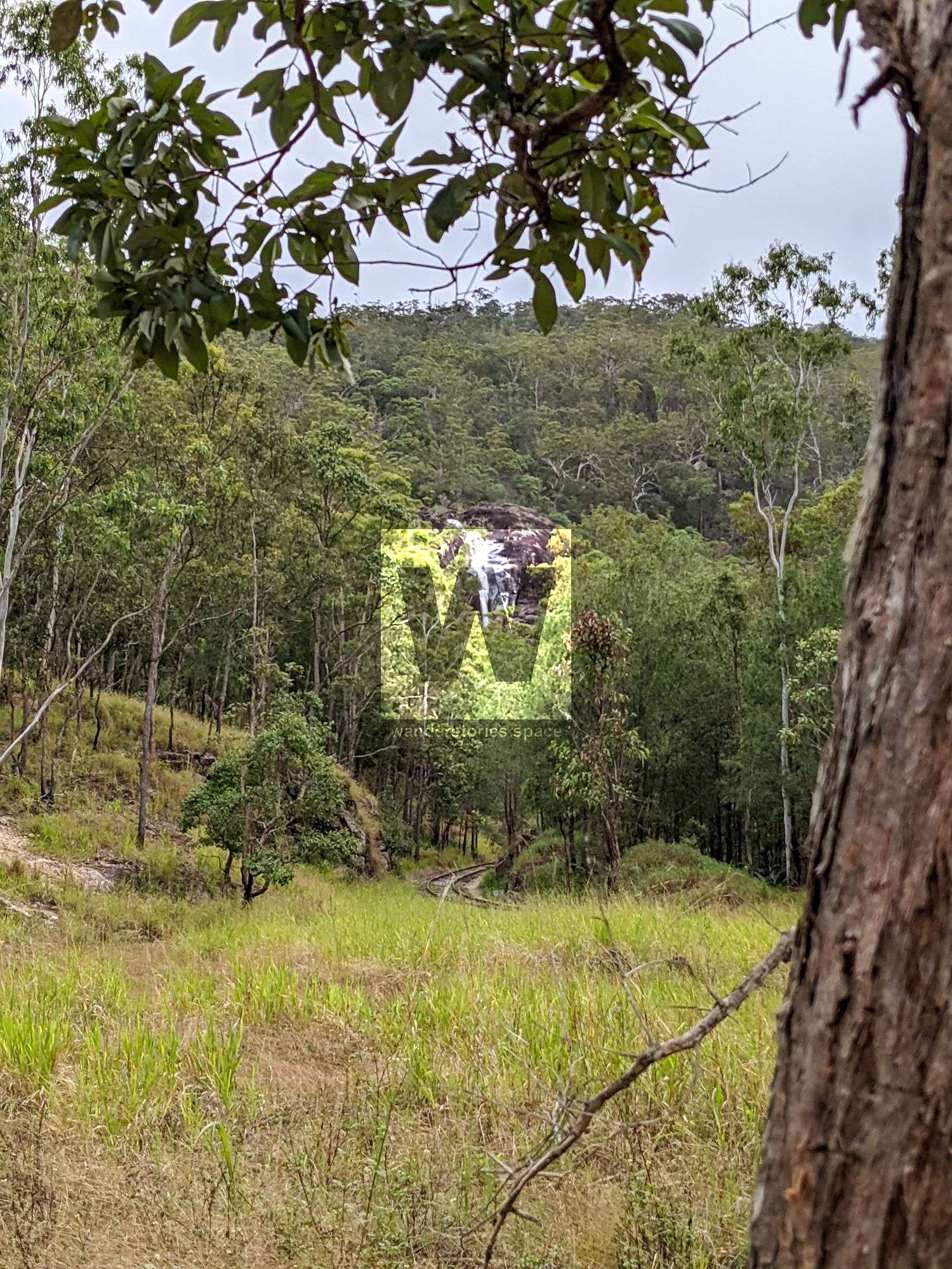
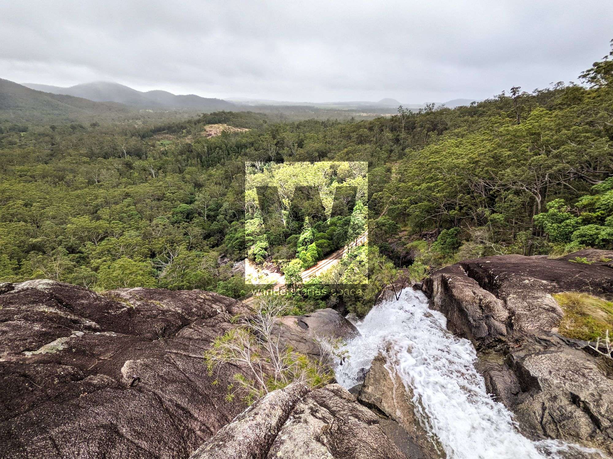
Once you've reached the base of the falls, there's a rough track of either side to get you to the top of Carrington Falls. The right side is easier. Walk atop the rock slab and diagonally up to the right. Follow the rough track around the cliff to the top.
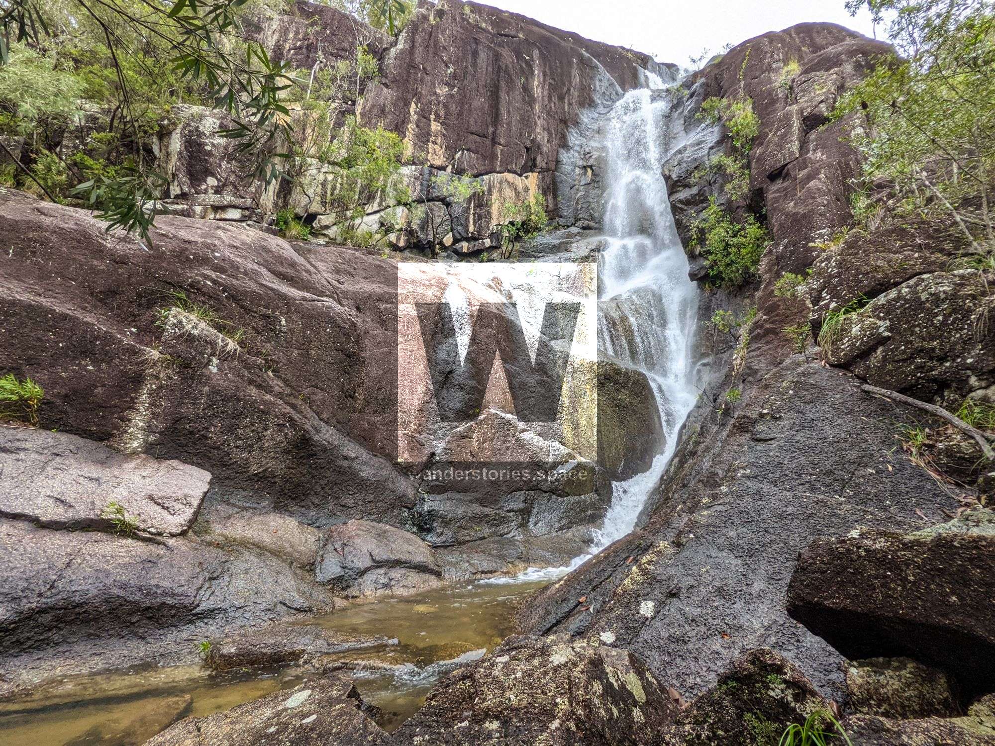
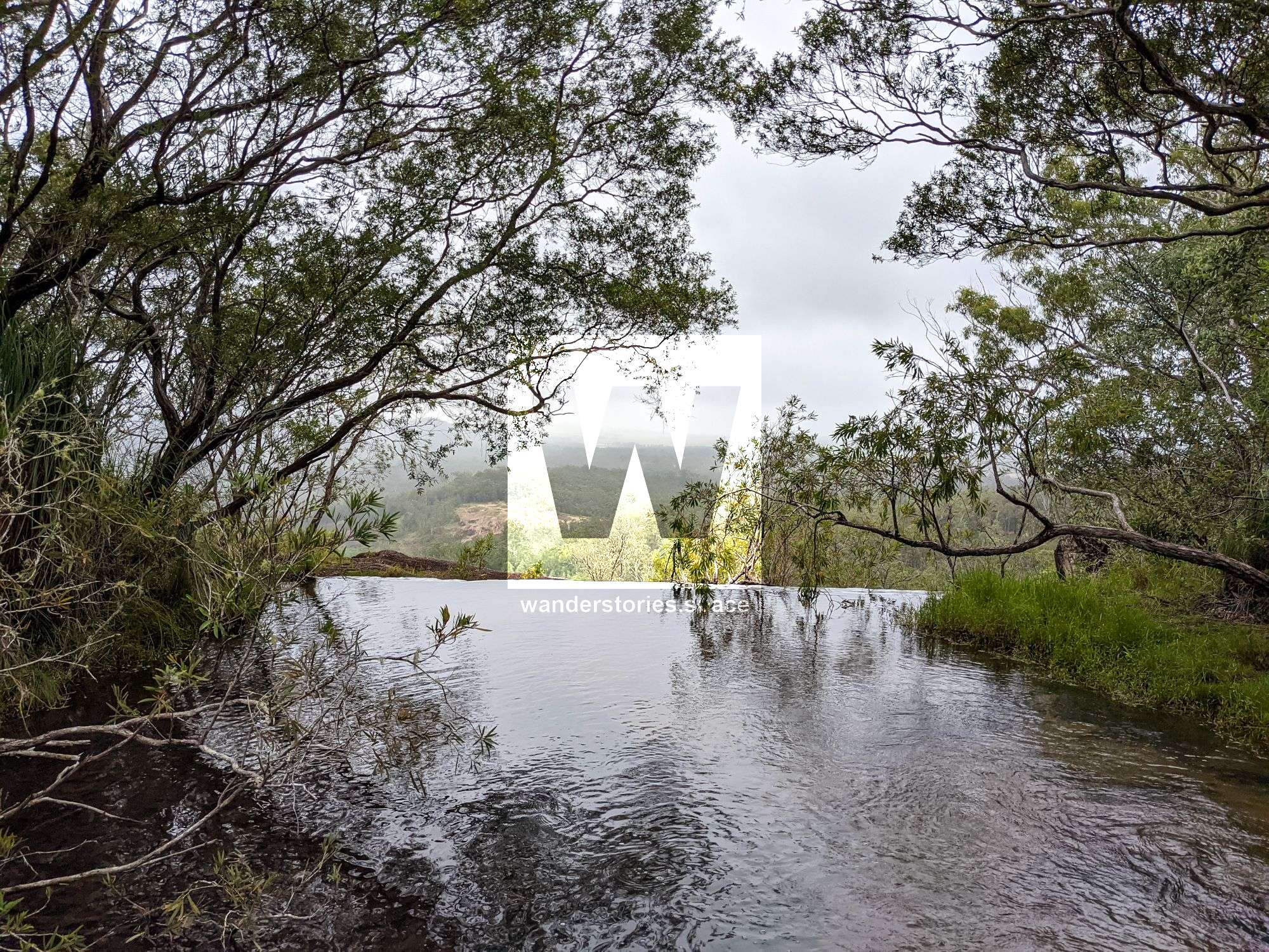
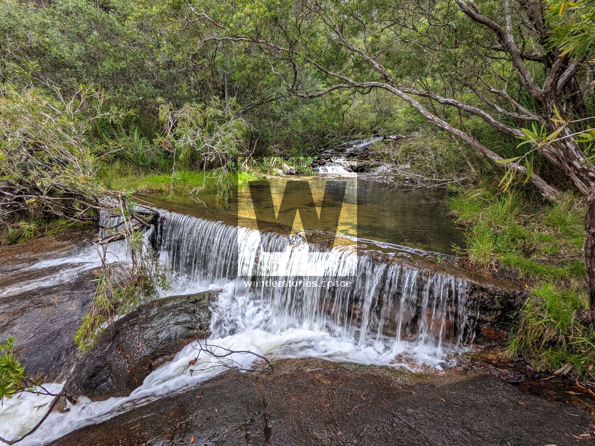
There's a man-made weir across the top of the waterfall that provides a bit of a pool and was a source of water for the old rail line workers.
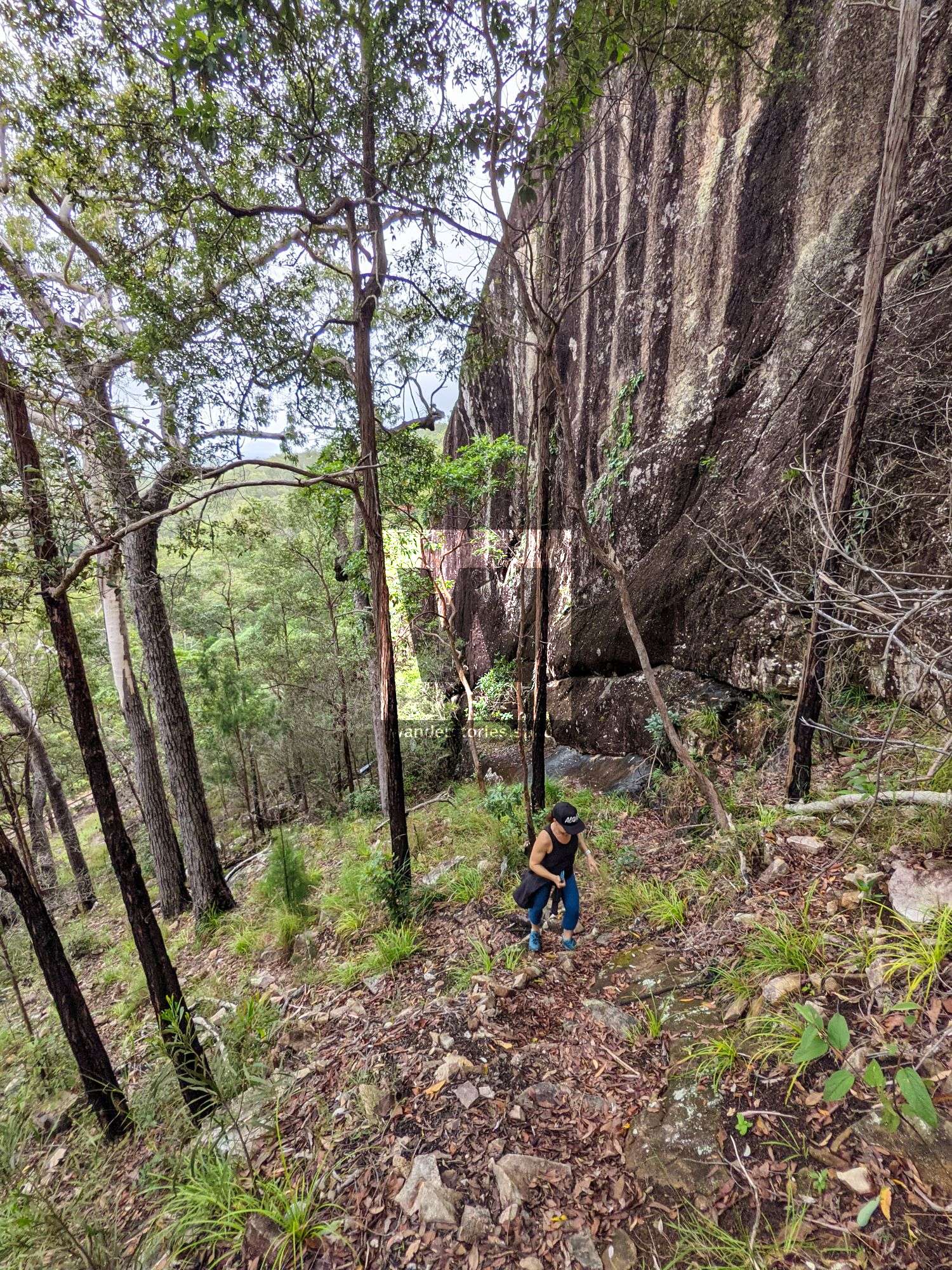
After enjoying the views from the top of the falls, you can now continue up to Wharton's Lookout. Cross the creek and follow the track up on the other side of the creek. The track joins into a quad bike track and soon wides again to a car track.
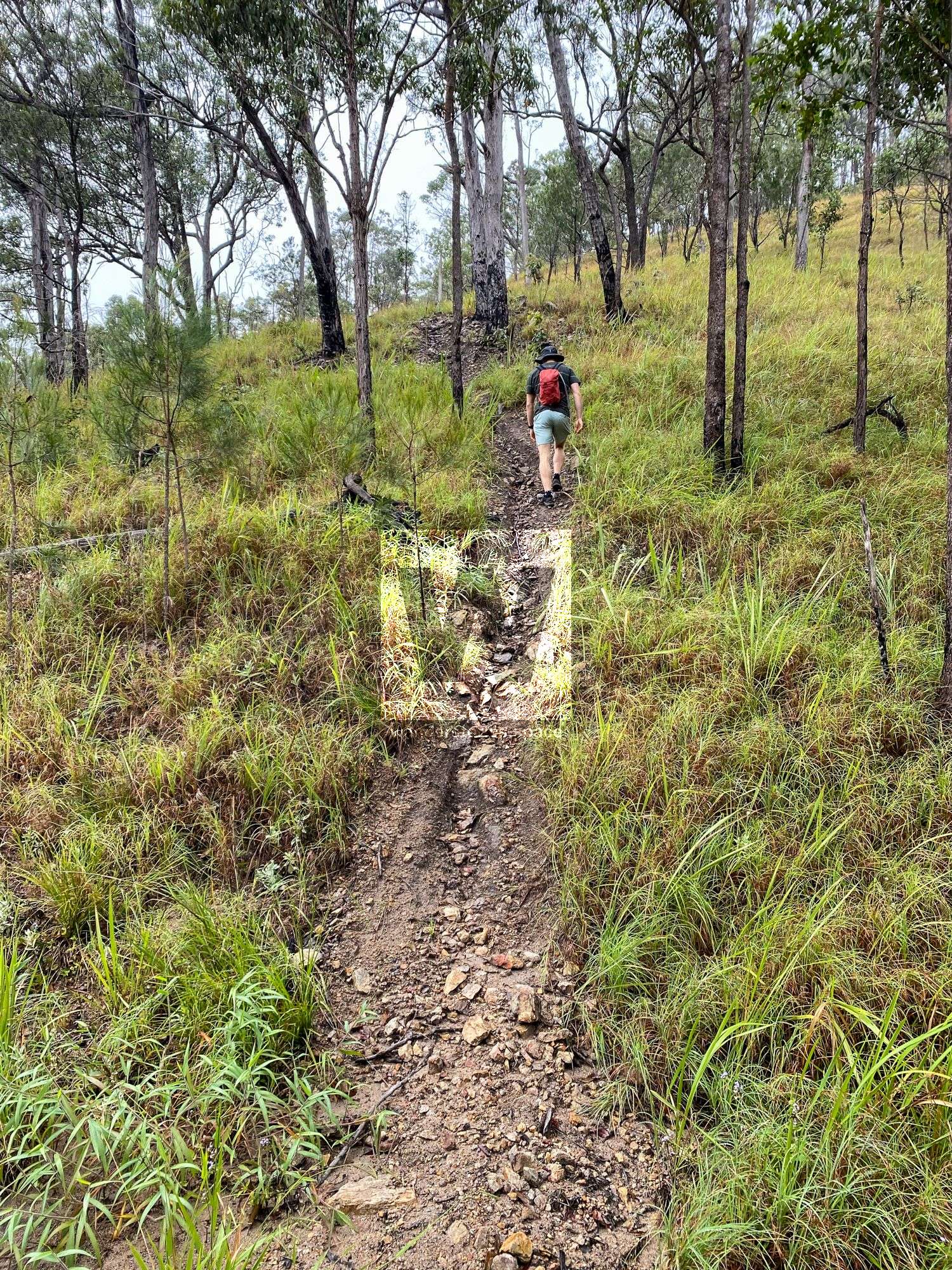
Cross the perpendicular car track and up the single trail. From here, there are lots of tracks that can be confusing but keep left. Finally, this single track joins into the main ridgeline track. Taking a right will take you towards Herberton and the left to Wharton's Lookout.
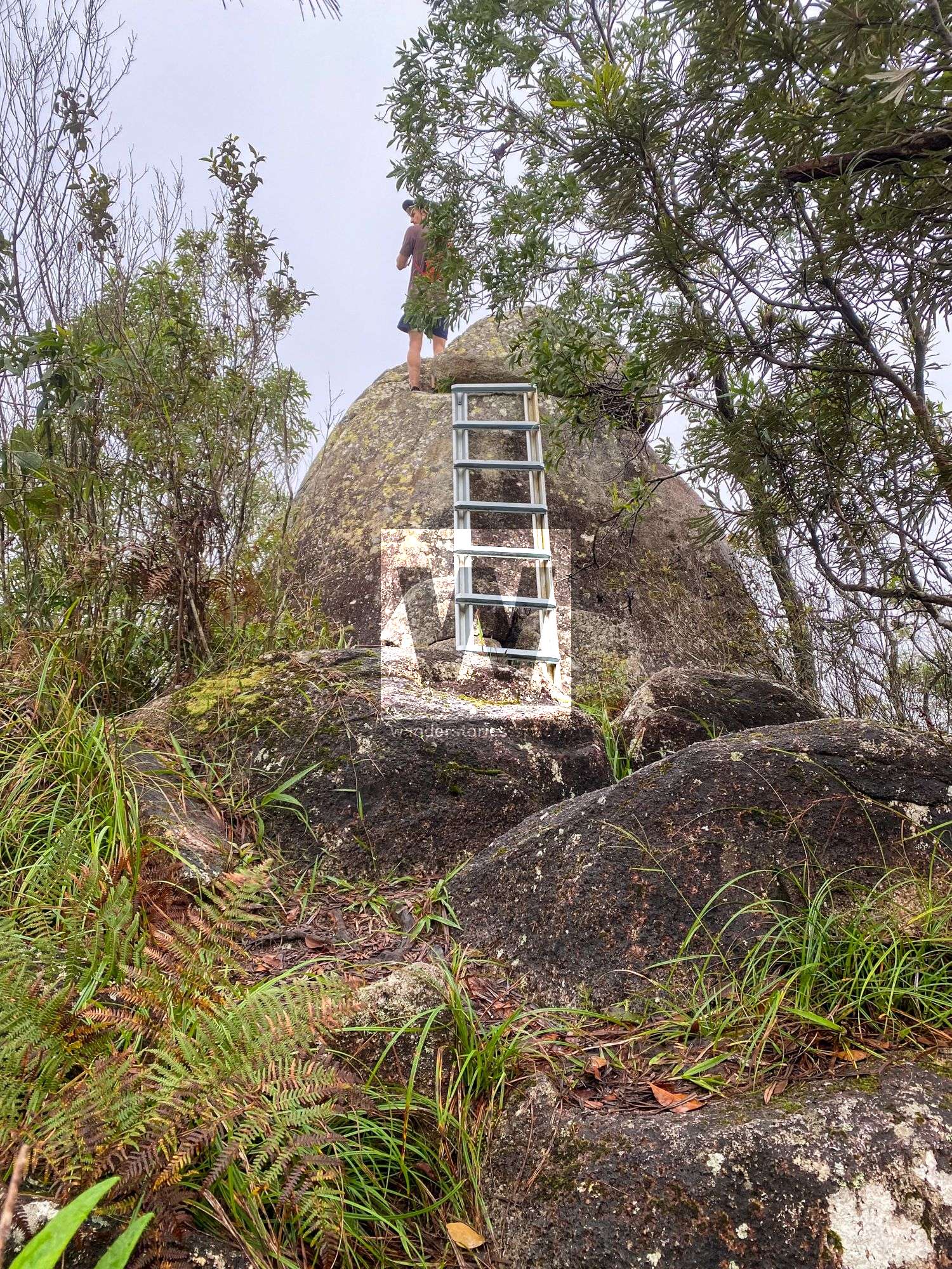
The ridgeline track narrows as you come close to the lookout. The last 20m to the lookout is more overgrown because it's too technical for motorbikes. Follow the single track to the ladder and boulder. Ascend the ladder to reap your reward.

Interactive Map
Notes
- The trail is a mix of 4WD track and walking track. Watch out for dirt bikes which sometimes fly down the single tracks
- The track can be very slippery with loose tiny rocks and/or mud.
- The total length of the railway line from road to road is about 10 km from the road to road.
- The area is very degraded with weeds and lots of erosion.
- Unpleasant to walk along 4WD tracks.
- Bring a map/GPS as it isn't signed, there are a few goat tracks that aren't marked on the maps. The walking trail from the start to the railway line near the falls is overgrown, it's easier to walk the fire trail on that section.
- The Strava heatmap provides good insight into the popular goat tracks
This article, and all other articles, are for entertainment purposes only and are not to be used as a guide. Please see our Disclaimer for more information.