Gertrude Saddle Route
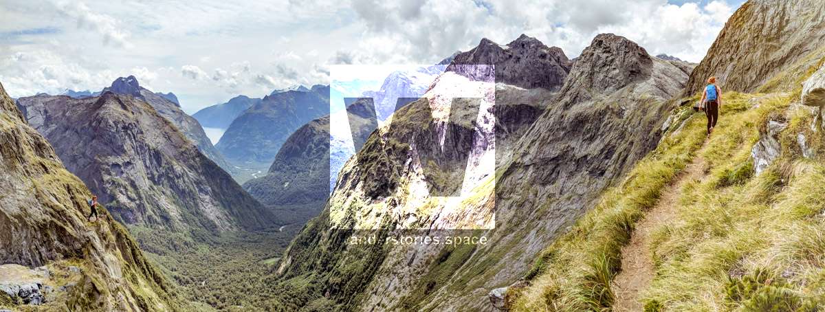
Gertrude Saddle Route is a challenging tramping route in Fiordland National Park, starting along a pleasant alpine meadow in a stunning glacial valley, then heads up steeply to the saddle with an incredible view of both valleys. Gertrude Saddle showcases a unique perspective of Milford Sound.

Location - Milford Road, South Island, New Zealand
Distance - 7 km return via same track
Time - 4-6 hours
Difficulty - Grade 5, intermediate to moderate, prior tramping and alpine experience recommended
Gertrude Saddle Route is a challenging tramping route from the Milford Road in Fiordland National Park that starts along a pleasant alpine meadow in a stunning glacial valley, then heads up a challenging section to a saddle with an incredible view of both sides of the saddle. Gertrude Saddle is at an elevation of 1,410 m and provides a unique perspective of Milford Sound and is one of my favourite walks in New Zealand.
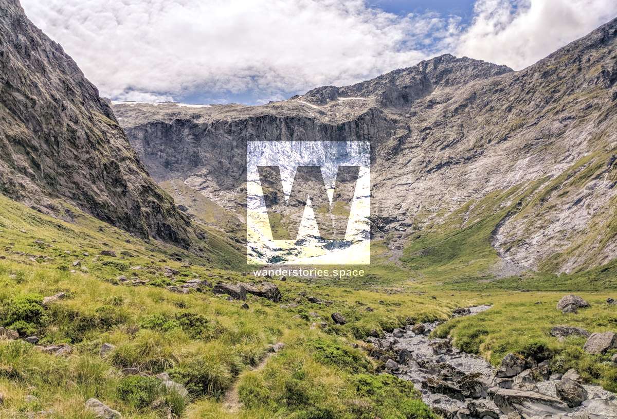
You should have some prior tramping and alpine experience, skills, equipment and fitness. This route should only be attempted in the peak of summer as snow covers the route from early autumn (March / April) to late spring (November / December). The route also covers many avalanche paths which makes this route simply impassable during winter. Rain can be expected for over 200 days of the year. You'll need warm and wet weather gear.
Interactive Map
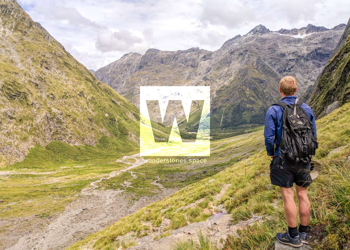
From the car park, the marked track meanders up the valley through spectacular alpine vegetation. From the head of the valley the route leads up towards the saddle; from this point there are no permanent track markers. Cross the Gertrude Stream below a large, steep waterfall area, about halfway up to Black Lake.
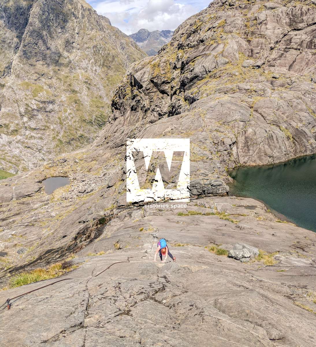
From here, parts of the track are very steep and not suitable for those with limited tramping experience, or have a fear of heights. The track goes up steep rock slabs and is treacherous when wet or frosty; there are steel cables to assist you.
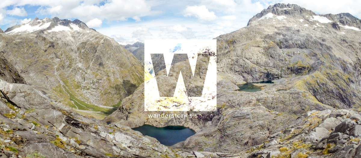
From the head of the valley continue up through the boulders to the saddle. Continue onto Barrier Knob or return the same path.

This challenging tramping route is also the best way to summit Barrier Knob (1,879 m) or Mt Talbot (2,105 m); though, for these two peaks, you'll need to be skilled in mountaineering, have the right equipment and knowledge.
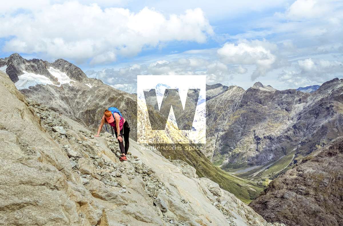

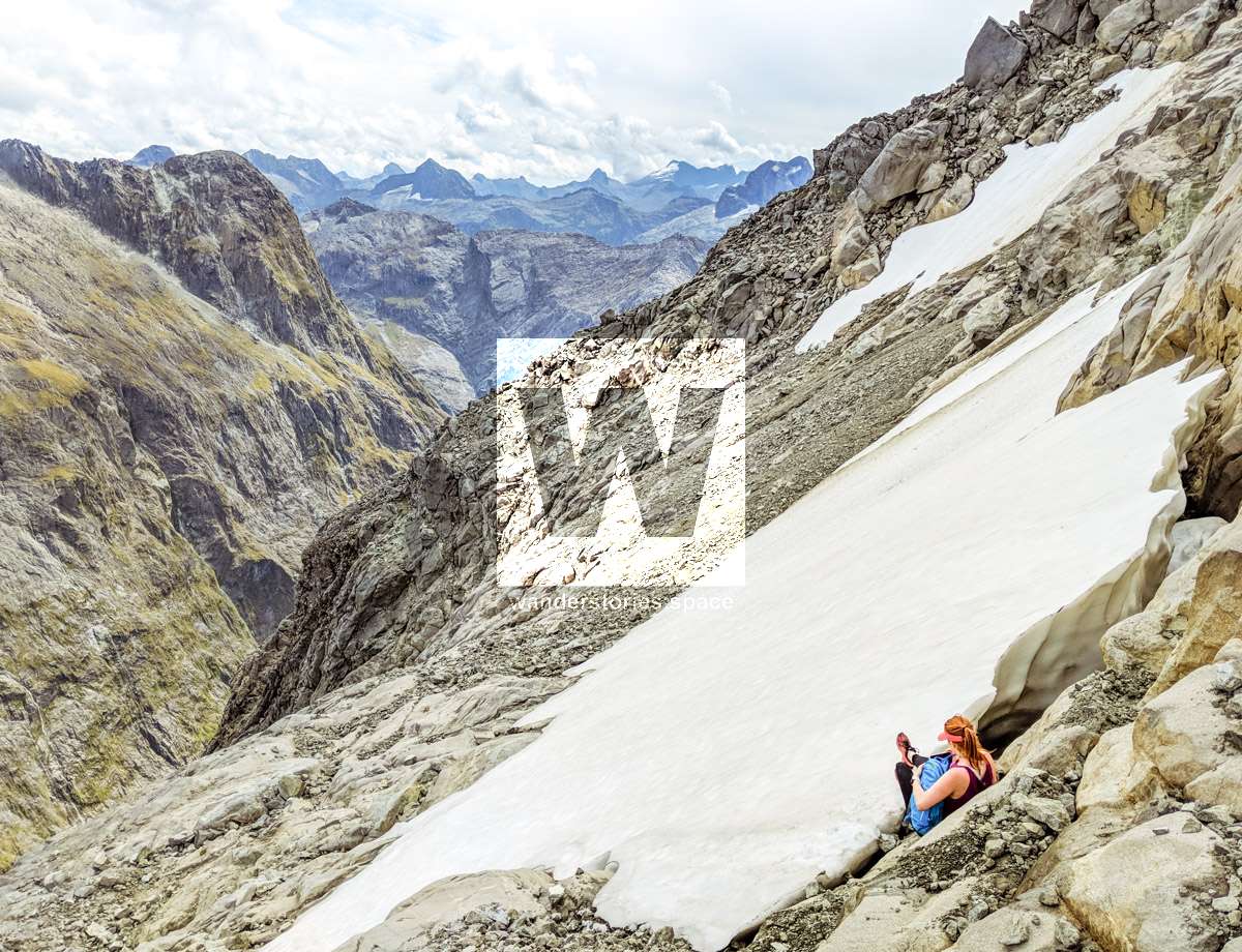
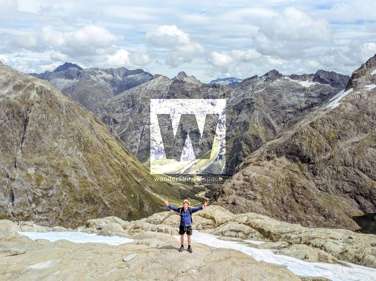
The reward
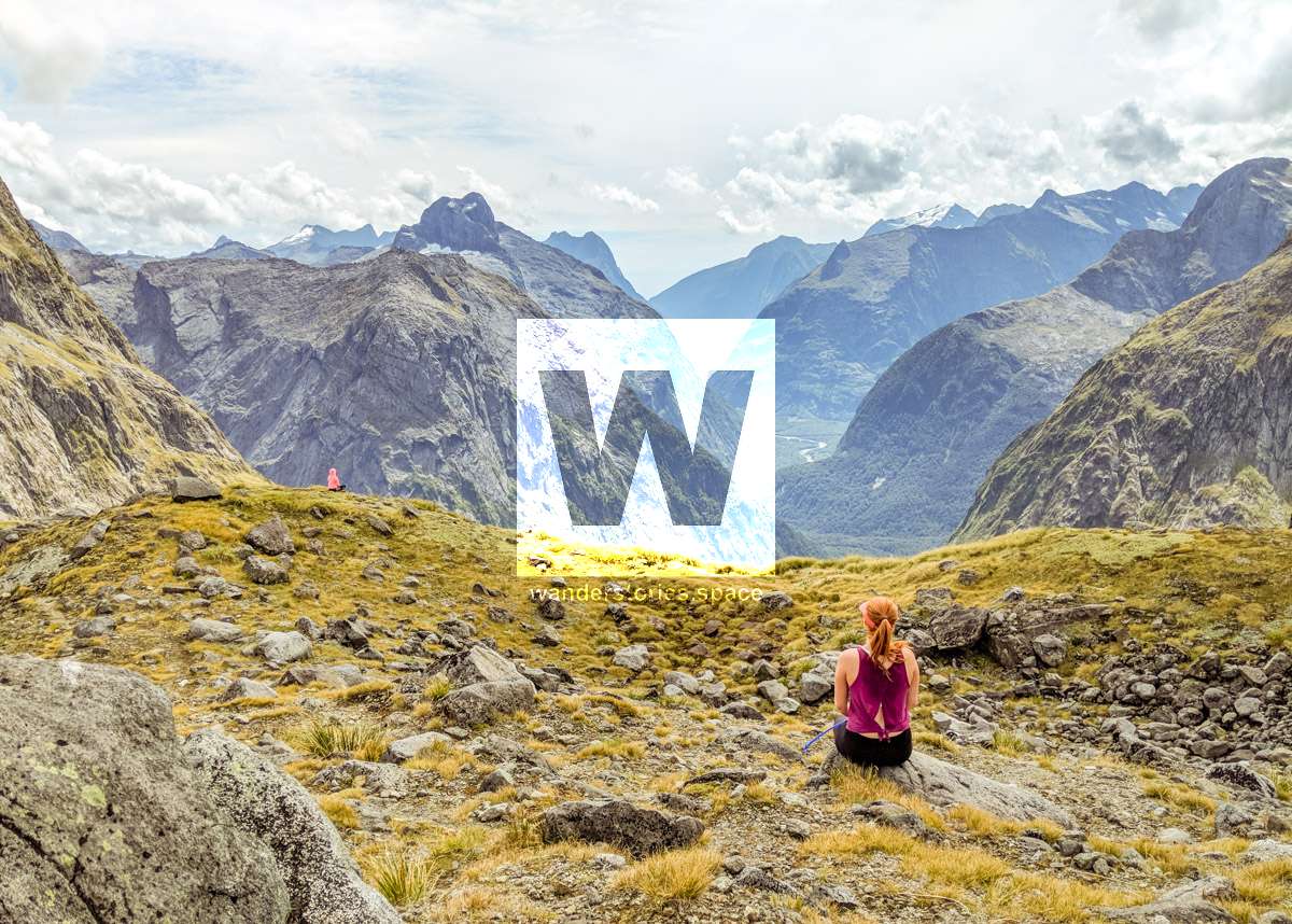
You are rewarded with breathtaking views of the valley and part of Milford Sound/Piopiotahi can be seen from Gertrude Saddle. This track provides excellent access to the mountains for experienced climbers.

Getting there
This track is reached from Gertrude Valley car park, about 98 km along the Milford Road from Te Anau.

Know before you go
There are no permanent markers above the bushline, so alpine and navigation skills are essential. Rock cairns placed by trampers mark the route, but be sure to follow your own judgement and use a topographical map.
- This is an alpine route and is subject to avalanches after snow.
- Steep terrain and cliffs.
- Slippery and icy rocks.
- Stream crossing and flood risk. After rain, expect to get wet feet.
Check with the Fiordland National Park Visitor Centre for up-to-date track information and weather conditions before starting, whatever the season. Be prepared to turn back. Multiple fatalities have occurred on this route.

What to take
- At least 3 litres of water
- Snacks and food
- Appropriate footwear
- Camera
- Warm and wet weather clothing; like a jumper or a jacket (it's windy and cold at the top)
- Sunscreen, hat, and sun protective clothing.
Activities
- Photography
- Hiking
- Meditation
- Picnic with a view
This article, and all other articles, are for entertainment purposes only and are not to be used as a guide. Please see our Disclaimer for more information.
