Map Sources
See also our maps.
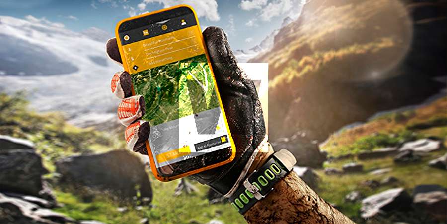
Everyone carries a smartphone these days, and many weekend warriors prefer using them to navigate instead of using a dedicated GPS unit. When it comes to navigation apps, ideally, the phone should be as capable as it can be and be able to do everything a computer can do regarding maps. This functionality makes your smartphone almost a complete replacement for the "Garmin + computer" setup, or at the very least, a great complement to it.
Currently, there's no easy way to get some maps on mobile devices (unless you open the browser)—for example, Queensland Aerial Imagery. So we have written custom code to host these tile servers, allowing these map sources to be used on mobile and desktop devices, as well as on our Wanderstories Maps, which we use to plan our trips.
The URLs below are for mobile apps that allow custom map sources. Whether you are using Guru Maps, Backcountry Navigator, Gaia Maps, Locus Maps, Avenza Maps, or one of the million mapping apps out there, here's your guide to using these custom tile servers.
This allows you to download the TMS (XYZ) tiles on your phone. Most apps cache them for use offline and assist in navigation when hiking in remote, out-of-reception locations. If you want a web-based browser map, then just go to Queensland Globe, Queensland Globe, the Wanderstories Maps, or one of the many other web applications.
Map Sources
QImagery
This Queensland Government aerial imagery is one of the best free high-resolution maps and aerial imagery available in Queensland.
Tile URL: https://maps.wanderstories.space/qimagery/{z}/{x}/{y}
Example: https://maps.wanderstories.space/qimagery/17/119115/73111
Parameters:
z, x, y: Tiles are available at the 3 to 19 zoom level.
These titles are cached to disk for 120 days.
GitHub Code Repository
QTopo
Queensland Topographical maps are pretty dam good but are also limited in some ways. Recently, QTopo's public URL was no longer working and placed behind a proxy. So here's our hosted tile server:
Tile URL: https://maps.wanderstories.space/qtopo/{z}/{x}/{y}
Example:
Parameters:
GitHub Code Repository
Strava Heatmap
Tile URL: https://maps.wanderstories.space/strava/{z}/{x}/{y}
Example:
Parameters:
z, x, y: Tiles available from 1 to 14 zoom level. Tiles used to be available from 0-16 previously.
Removed support for Size, Mode, Color
GitHub Code Repository
WS Heatmap
Tile URL: https://maps.wanderstories.space/heatmap/{z}/{x}/{y}
Example:
Parameters:
GitHub Code Repository
Apple Maps
Tile URL: https://maps.wanderstories.space/aSatellite/{z}/{x}/{y}
Example: https://maps.wanderstories.space/aSatellite/17/118281/73130
Parameters:
type: satellite or standard
z, x, y: Tiles are available at the 3 to 19 zoom level.
GitHub Code Repository
For more map sources, see the following projects:
Looking for maps to use on your Garmin device? See the following listing or Garmin-compatible maps.