Mount Atiati

Location - Ha'apiti or Amehiti, Mo'orea, French Polynesia
Duration - 3-6 hours return depending on route taken
Distance - ~7 km return depending on route taken
Difficulty - Very strenuous and quite dangerous. No track.
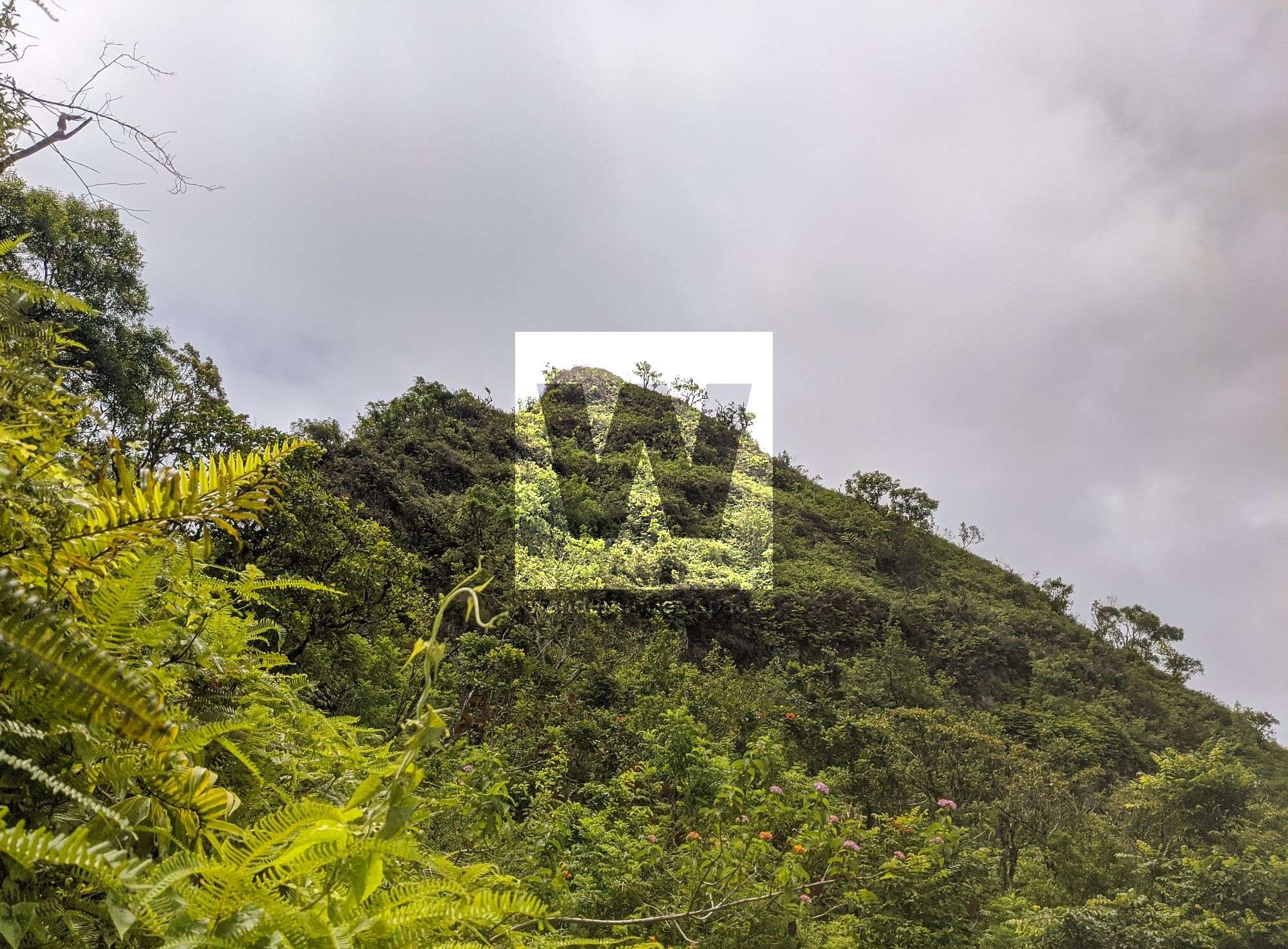
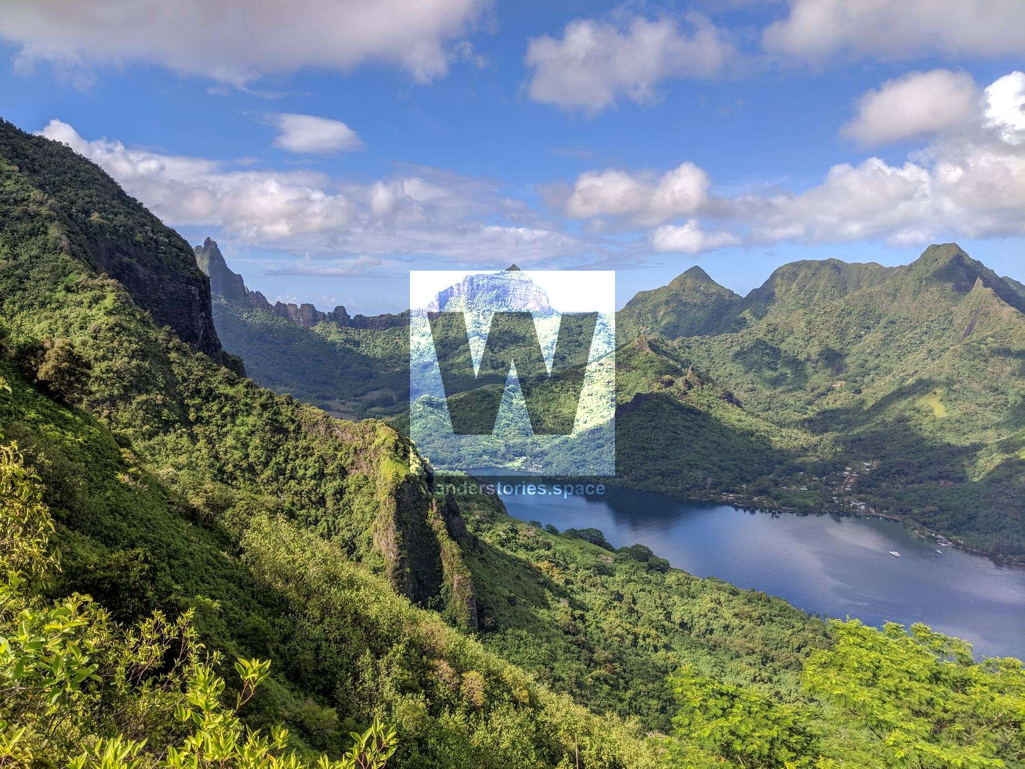
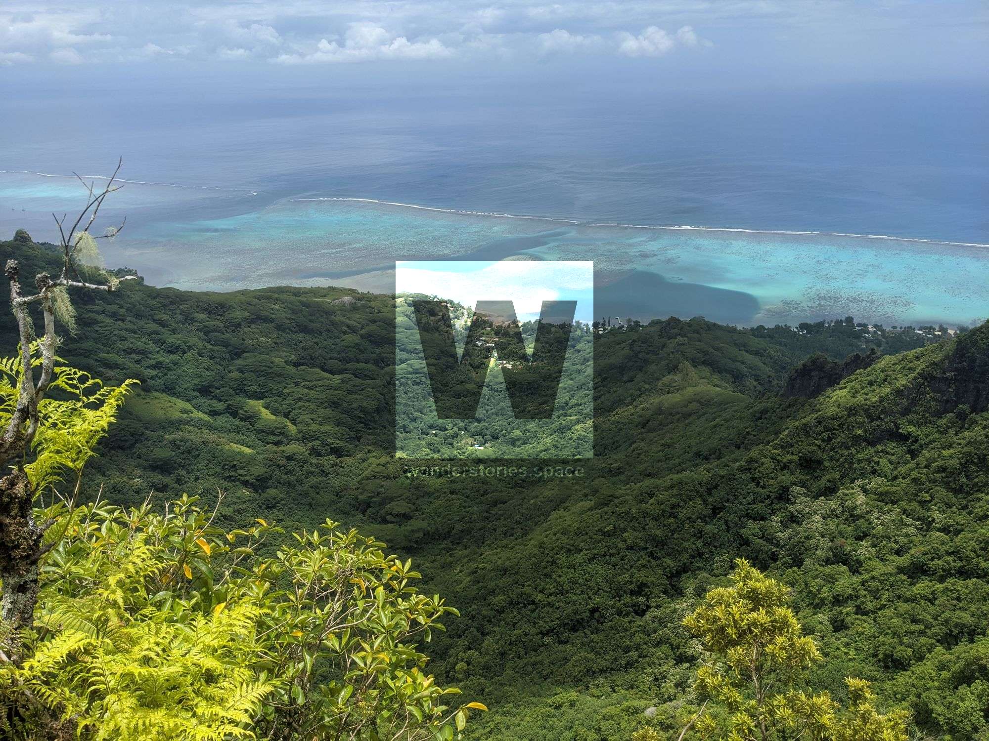
Mount Atiati (749 m), also written as Mont Atiati, is located close to the centre of the island of Mo'orea. The land around Mount Atiati is hilly and is mostly covered by forest but higher up on the ridgelines, especially where it's steep, is covered by thick fern vegetation. The nearest town is Haapiti and is the closest to the ocean.


It is also possible to summit Atiati via the ridgeline and contouring around the cliffs to the right when too steep - though this is not recommended due to the steep terrain and loose soil and vegetation.
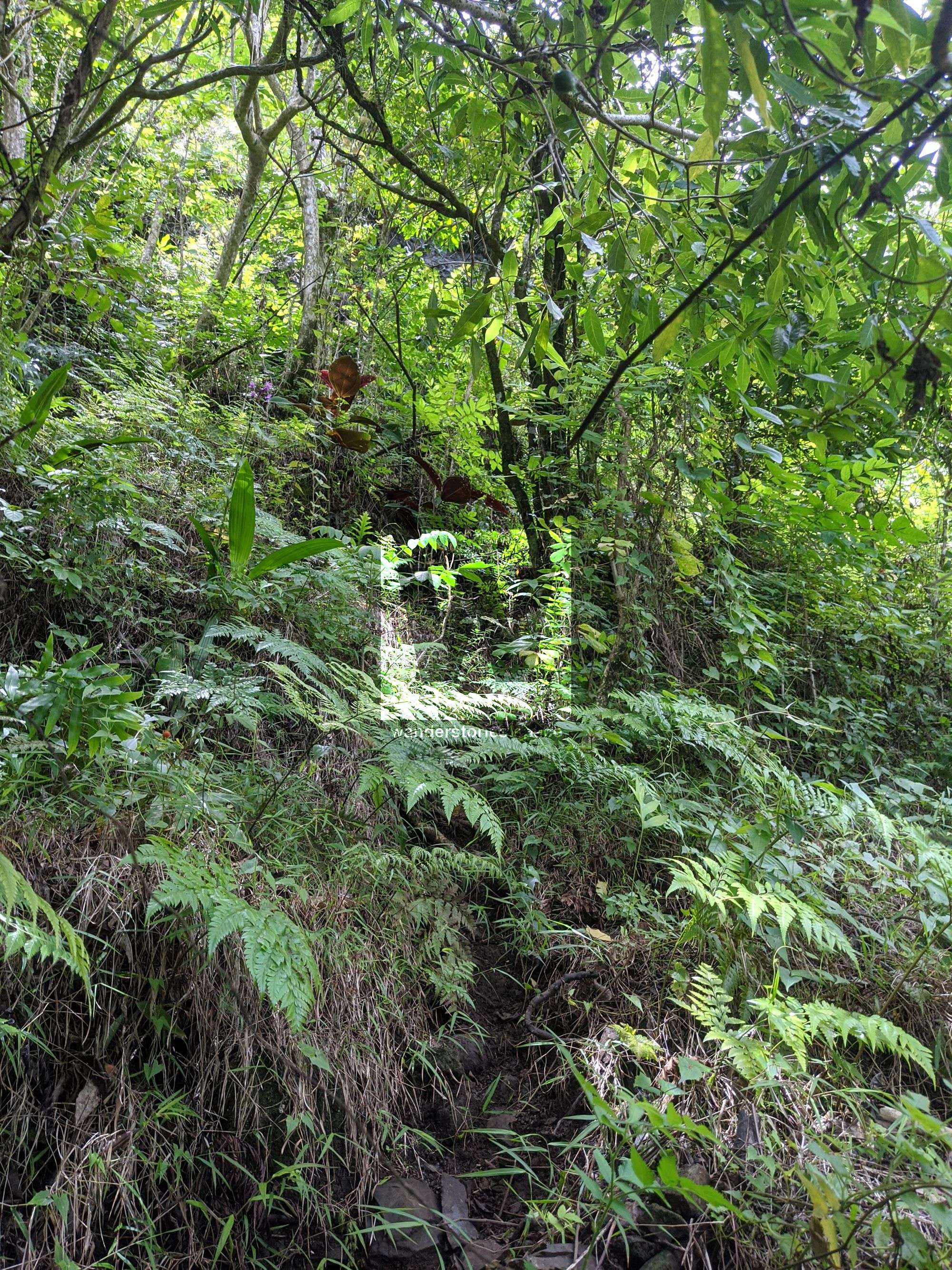
The hike from the pass is completely off-track.

Interactive Map


This article, and all other articles, are for entertainment purposes only and are not to be used as a guide. Please see our Disclaimer for more information.