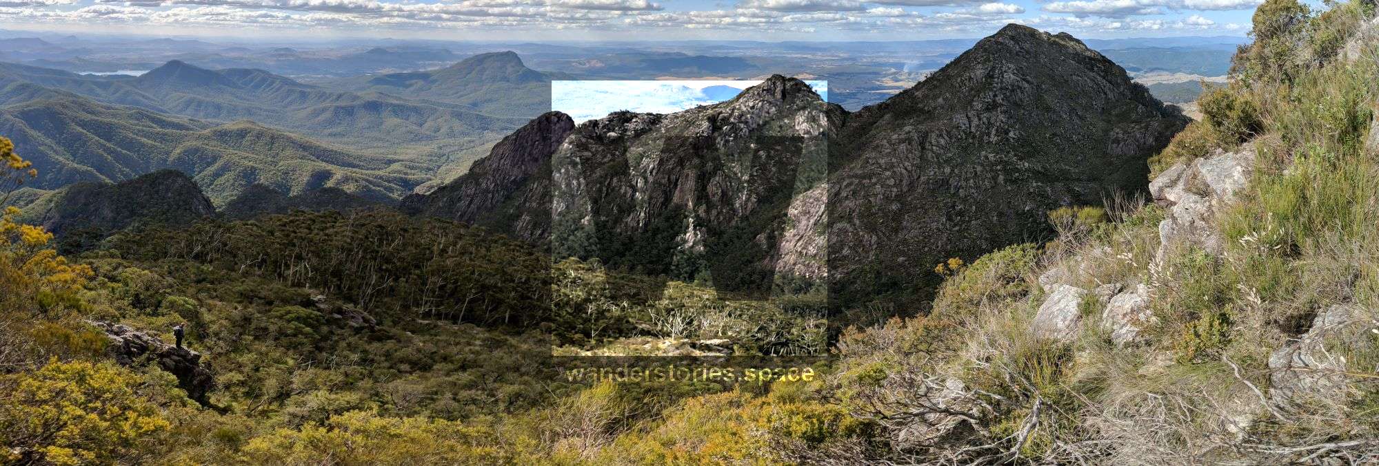
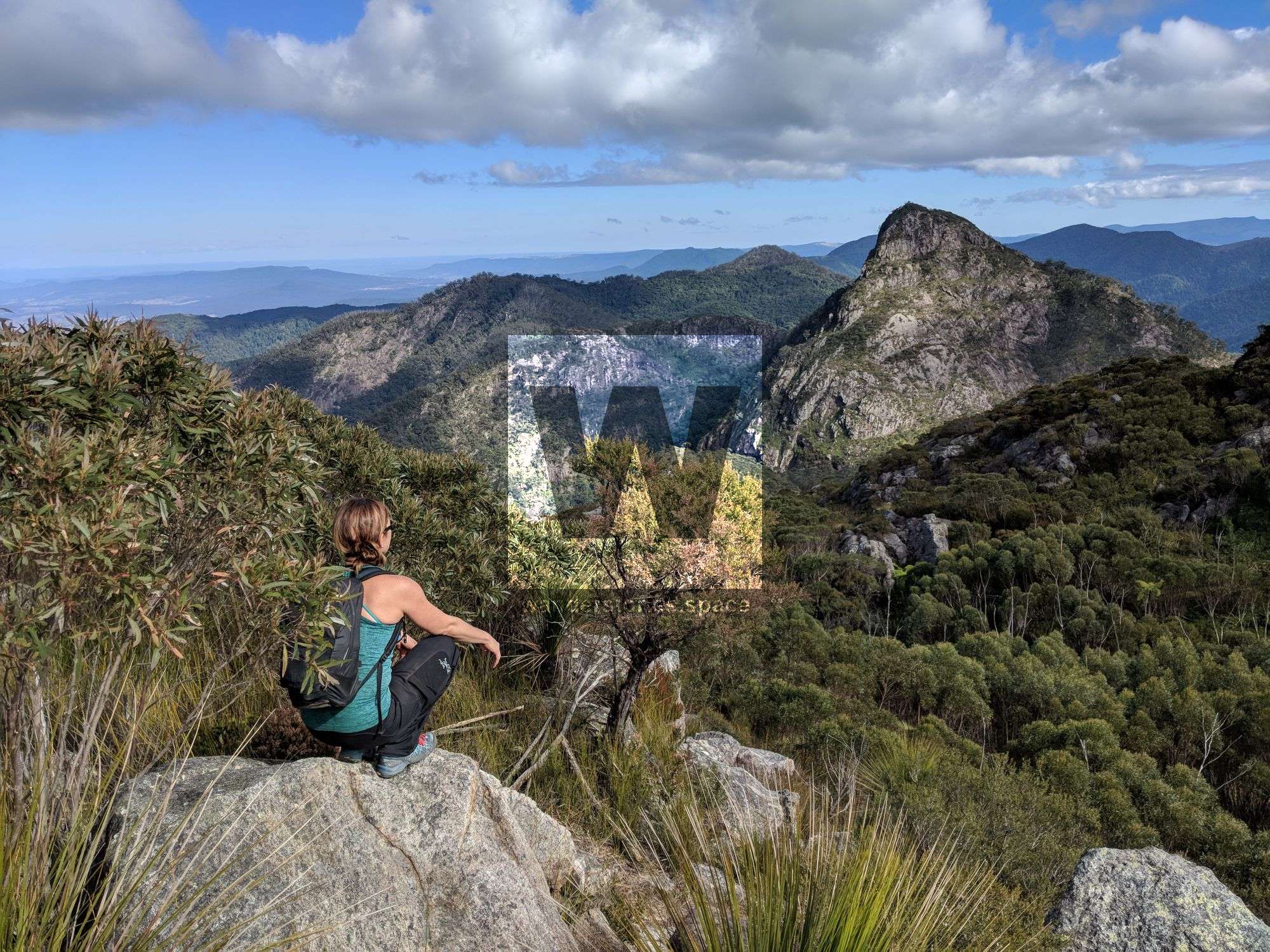
Mount Barney
Mount Barney is the second-highest peak in southeast Queensland and is surrounded by numerous smaller peaks, rugged terrain, steep valleys, caves, waterfalls (Mount Barney Falls), deep rock pools (Lower Portals), and woodland forests.

Location - Mount Barney National Park, Queensland, Australia
Distance - Approximately 17.5 km return depending on the route
Time - 8-12 hours depending on routes, skills, and fitness.
Grade - 4-5, difficult and strenuous
Type - Remote, on and off-track bushwalking
Located in South East Queensland, Mount Barney is part of the Scenic Rim Region 90 km southwest of Brisbane. Mount Barney, Mount Maroon, Mount May, Mount Lindesay, Mount Ballow, and Mount Ernest rise majestically above the surrounding landscape in Mount Barney National Park. These rugged peaks are the remains of the ancient Focal Peak Shield Volcano which erupted 24 million years ago. The national park is dominated by the grand twin peaks of Mount Barney, East (1,351 m) and West (1,359 m). Mount Barney (1,359 m) is the second-highest peak in southeast Queensland and has some very rare and unique plants. Surrounding these peaks are numerous peaks, rugged terrain, steep valleys, caves, waterfalls (Mount Barney Falls), deep rock pools (Lower Portals) and woodland forests. Enjoy the expansive summit views over the Border Ranges and Scenic Rim forests.