Mount Bellenden Ker and plane crash
Mount Bellenden Ker (Centre Peak) rises above the Bellenden Ker Range - also known as the Wooroonooran Range - at a height of 1,589 metres and is the second highest mountain in the state of Queensland.

Location - Wooroonooran National Park, Far North Queensland, Australia
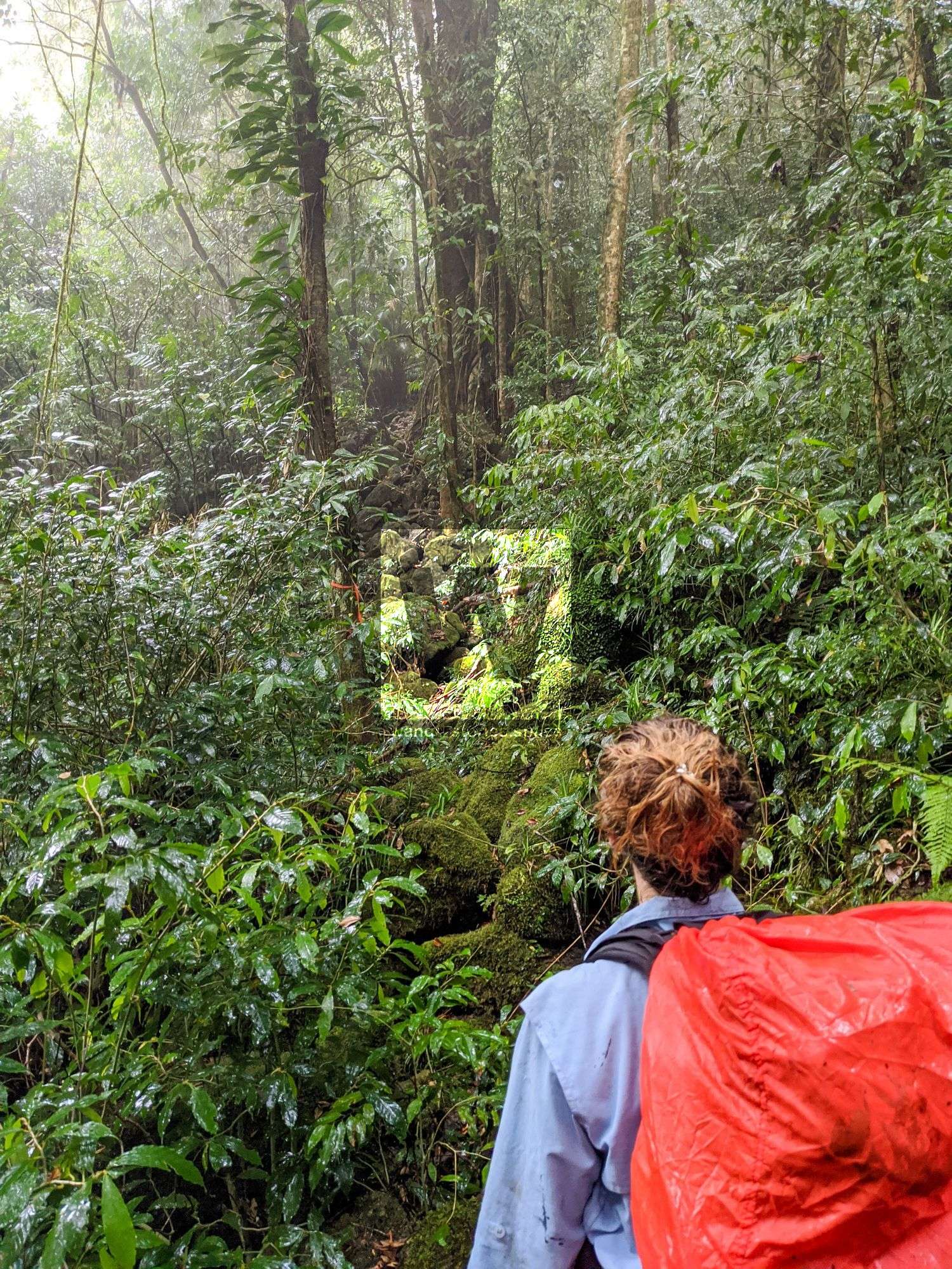
Difficulty - Grade 5, hard, recommended for experienced bushwalkers
Best time - May-August
Special points - Obtain a permit from farmer and communications tower/cable car operator
Distance - ~8 km one way
Time - allow 7-10 hours one-way
Mount Bellenden Ker (Centre Peak) rises above the Bellenden Ker Range - also known as the Wooroonooran Range - at a height of 1,589 metres and is the second-highest mountain in the state of Queensland. Located adjacent to Mount Bartle Frere, which is Queensland's highest peak, and 60 kilometres south of Cairns near Babinda. The two mountains dominate the east section of the Wooroonooran National Park.
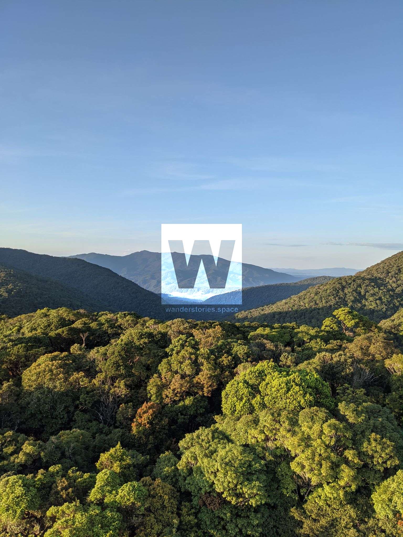
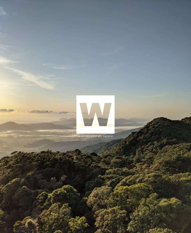
It is named after the botanist John Bellenden Ker Gawler. The mountain range supports populations of a range of bird species endemic to Queensland's Wet Tropics. The Centre Peak (1,589 m) is the highest point on the range and also features the North Peak (1,455 m), Chickaboogalla (1,013 m), and the South Peak (1,211 m). Both are made of resistant granite and are remnants of an escarpment that has been eroded by the Russell River and Mulgrave River over millions of years.
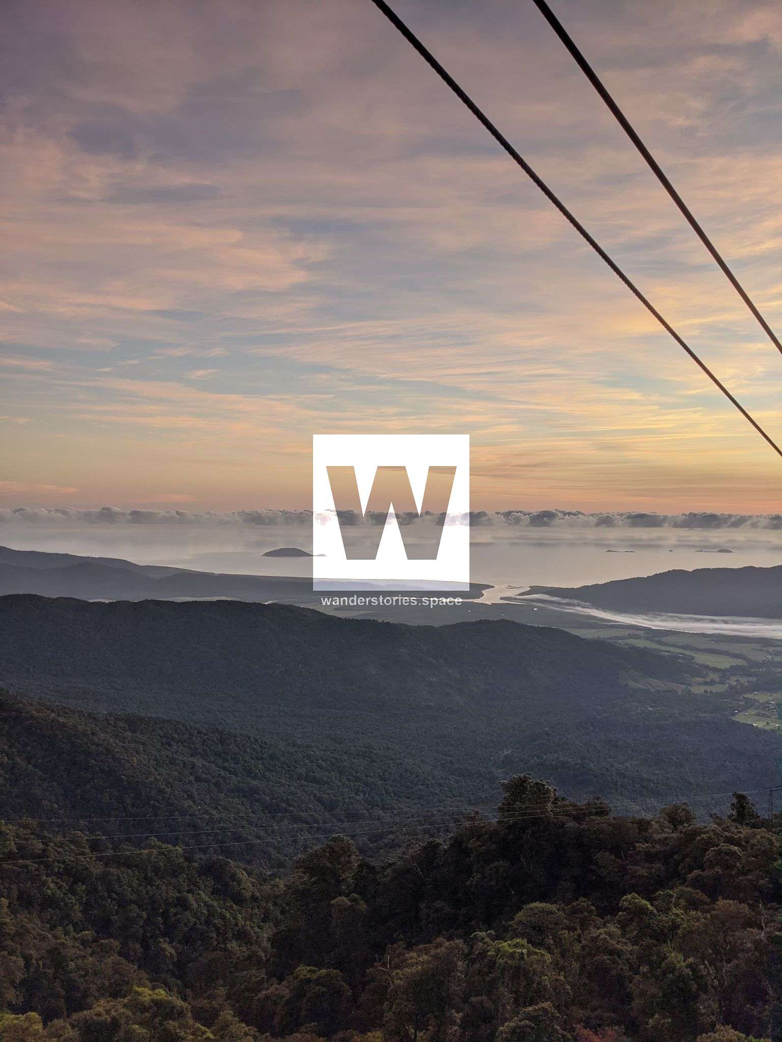
The weather station at the summit records an annual average rainfall of 8,312 mm, making it the wettest meteorological site in Australia. It also holds the record for the highest rainfall in Australia for a calendar month of 5,387 mm in January 1979 and the highest rainfall in a calendar year of 12,461 mm in 2000. In 2006, the mountain receives more rainfall (9,800 mm) than any other part of Australia.
There are two main routes up to the summit: