Mount Keelbottom
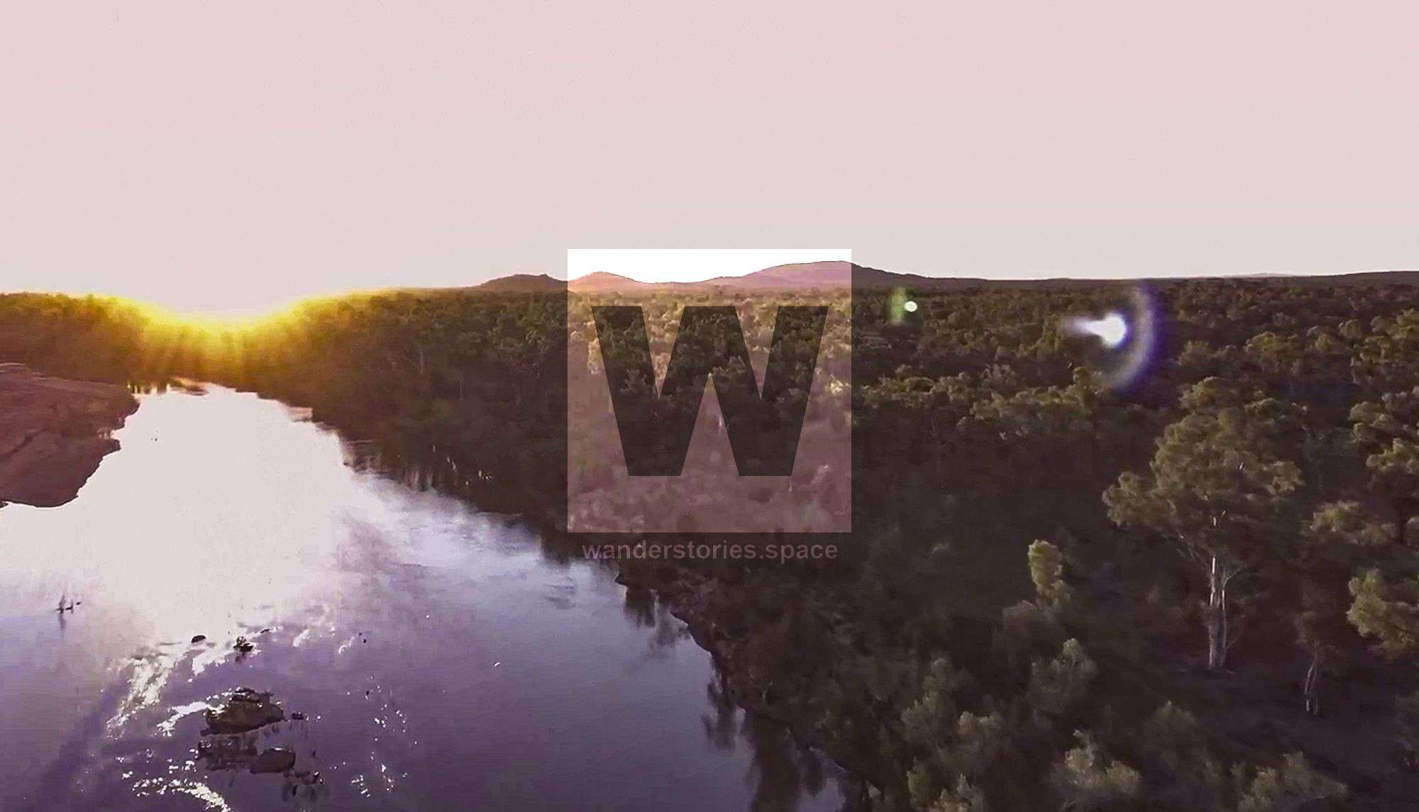
Mount Keelbottom require an off-trail hike through Dalrymple National Park to reach the summit. Witness an abundance of wildlife, ranging from water birds on the Burdekin River shores to native animals in the bush, all experienced as you strive to conquer the mountain's peak.

Location: Charters Towers, North Queensland, Australia
Distance: 8.5 km
Duration: 3.5-5 hours
Elevation gain: 250 m
Located close to the Charters Towers and Townsville, Mount Keelbottom requires an off-trail hike through the historical Dalrymple National Park and is suitable for experienced hikers. This journey offers an abundance of wildlife, ranging from water birds on the Burdekin River shores to native animals in the bush, all experienced as you strive to conquer the mountain's peak.
Started from either Dalrymple National Park or Fletchers Creek camping area on the other side of the Burdekin River.
Interactive Map
Notes
- Note that dogs are not allowed in national parks.
- An offline GPS navigation is strongly advised for this particular route.
- If starting from Fletchers Creek, the river crossing is best suited for the drier months.
- Accessible from Leichhardt Road, the track offers stunning self-sufficient camping opportunities on the river's sandy banks, adding to the overall wilderness experience.
This article, and all other articles, are for entertainment purposes only and are not to be used as a guide. Please see our Disclaimer for more information.