Mount Kelly
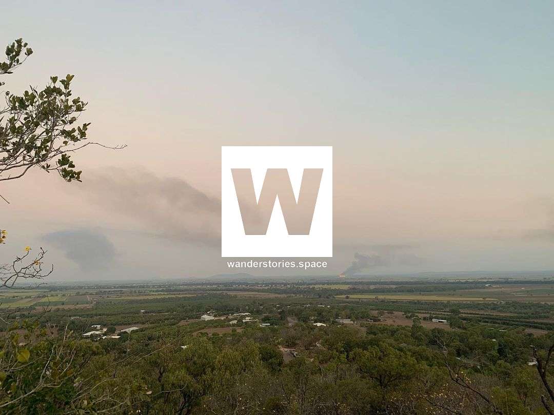
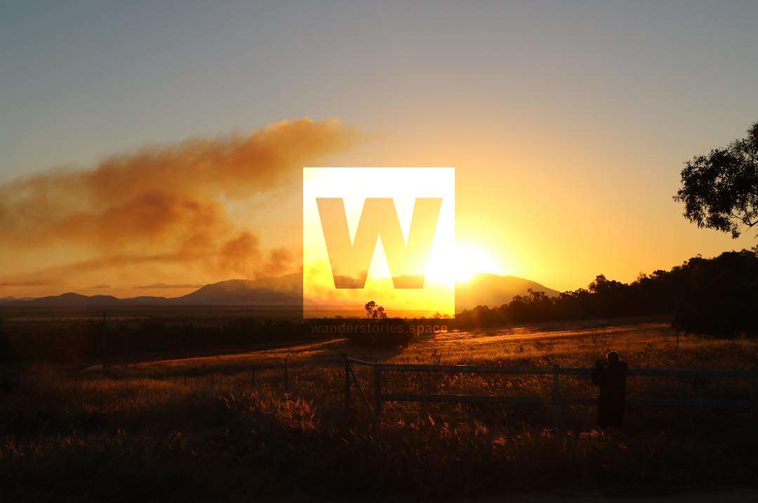
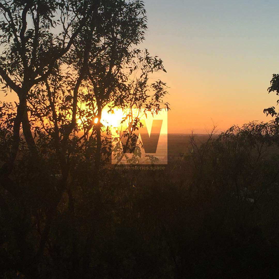
Kelly Mountain, and known to some as Mount Kelly, rises to an elevation of 186 metres and provides views out across the Burdekin River and the surrounding landscape.

Location - Ayr, Queensland, Australia
Distance - 1.1 km return
Time - Allow 1 hour return
Grade - 3
Mount Kelly, also known as Kelly Mountain, rises to an elevation of 186 metres and provides views out across the Burdekin River and the surrounding landscape. It was a popular after-work activity for the locals in Ayr. It is a 17 minutes (18 kilometres) drive from Ayr and 70 minutes (95 kilometres) drive from Townsville.
The track is family and dog-friendly and starts near the water reservoir on Lookout Road. Park your vehicle here and ascend the rough, dirt track to the top lookout. Mount Kelly Lookout provides views across the Burdekin Region's contrasting scenery of native bushland, cane farms, and coastline. The track appears to be the remains of an old downhill mountain bike track which is unmaintained. It's a little bit hidden and may be hard to find the start and follow. It is possible to drive to the top as well.
As well as being a significant remnant of the original vegetation, Mount Kelly was also significant as a place of plenty for the Bindal people. Plants like breadfruit and tubers, the equivalent of our potatoes, were collected there. The varied vegetation types would have been home to many birds, reptiles and mammals which would have all been potential meals for the Bindal people. James Morrill refers to Mount Kelly in his journal as he spent time there on hunting and gathering excursions. It was the place from which the sails of early explorers were seen during the latter part of his 17 years living with the Bindal people.
Interactive Map
This article, and all other articles, are for entertainment purposes only and are not to be used as a guide. Please see our Disclaimer for more information.