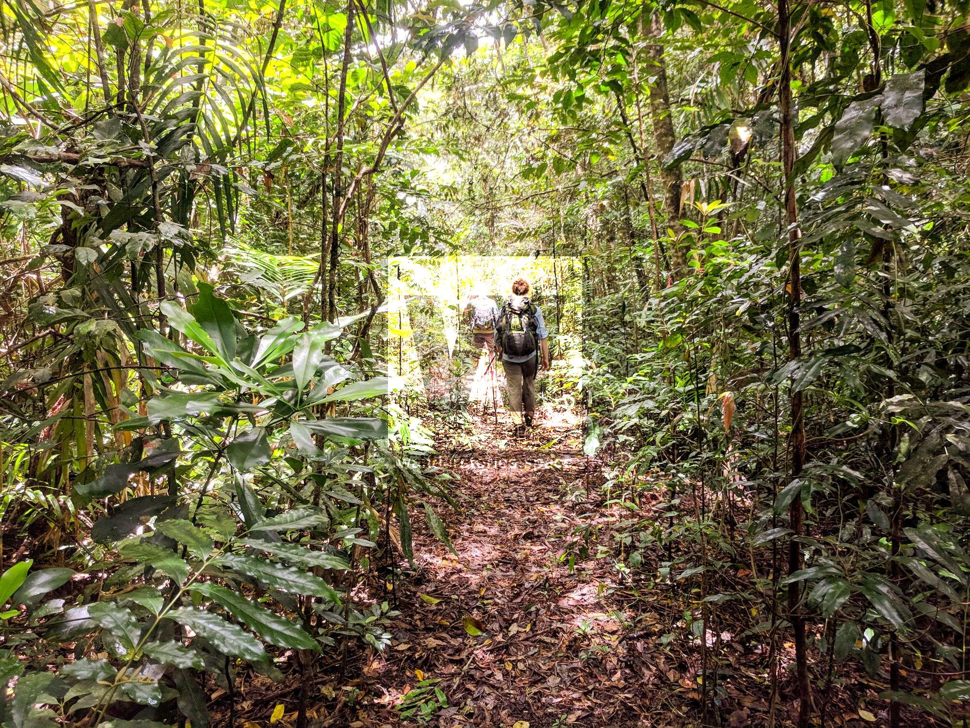
An adventure to Smith Falls
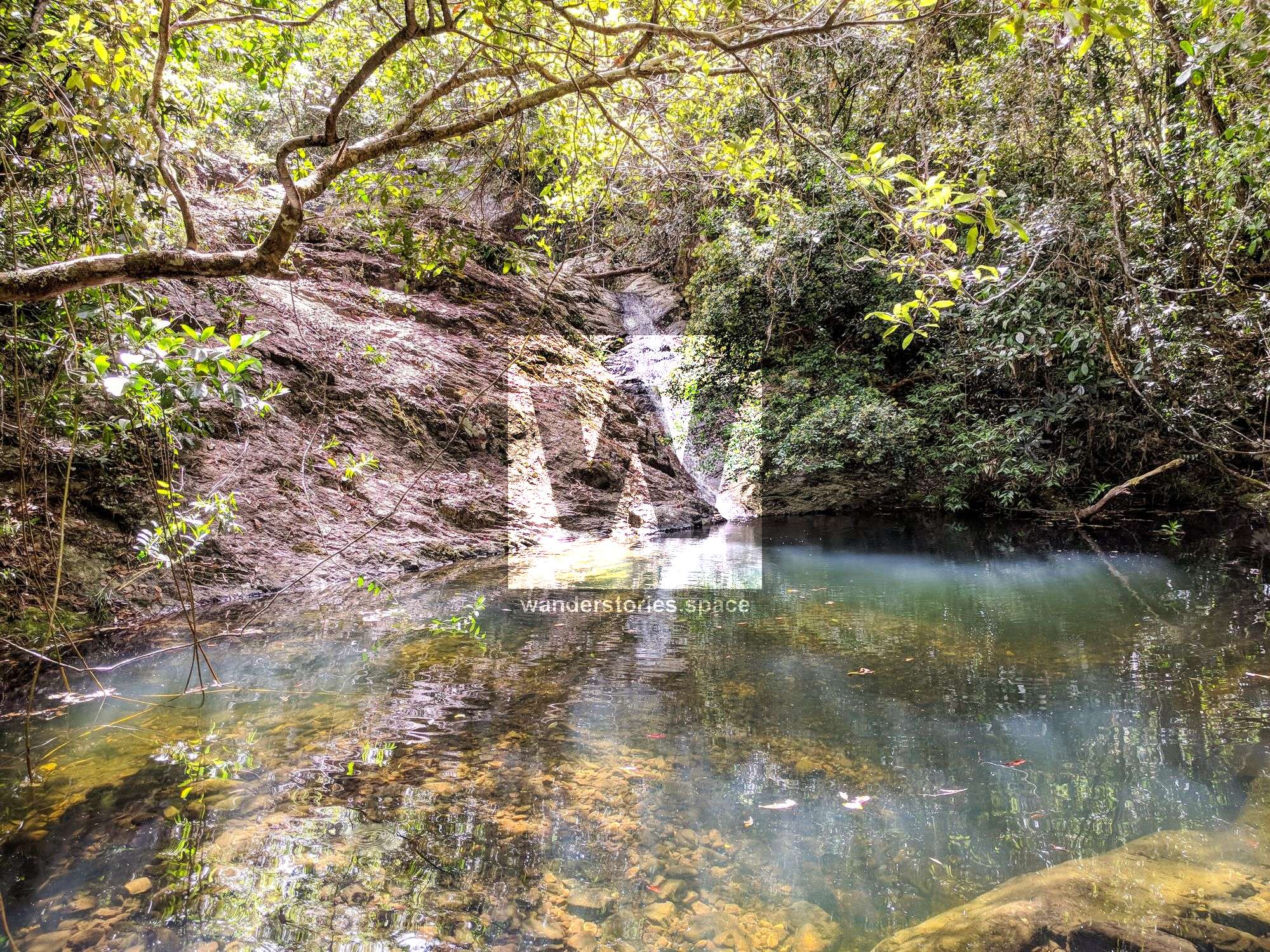
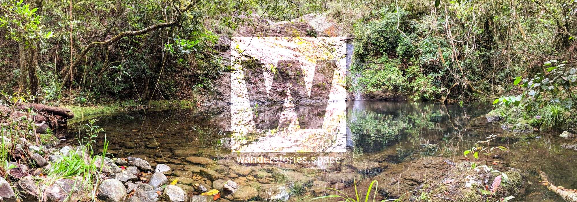
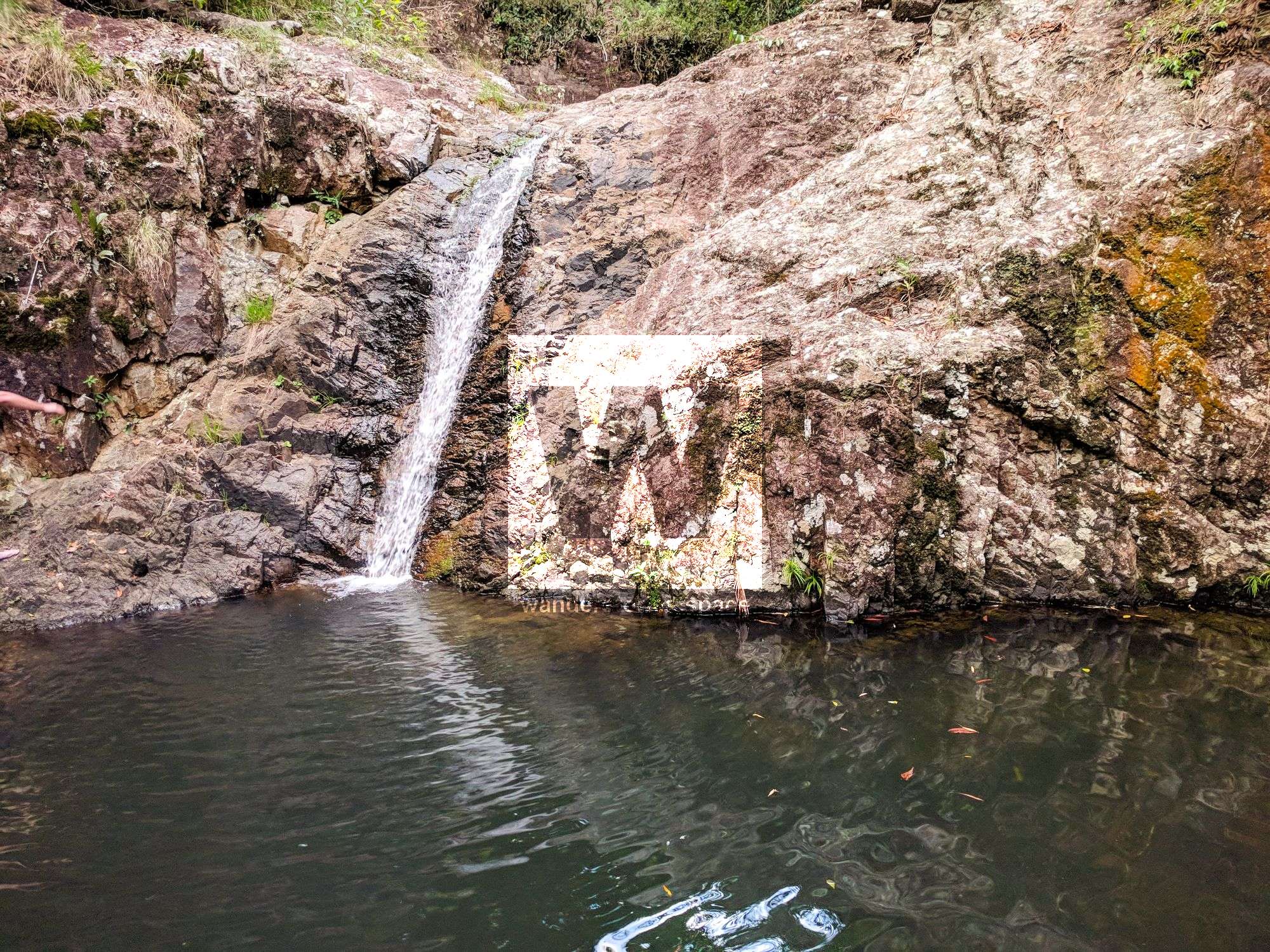
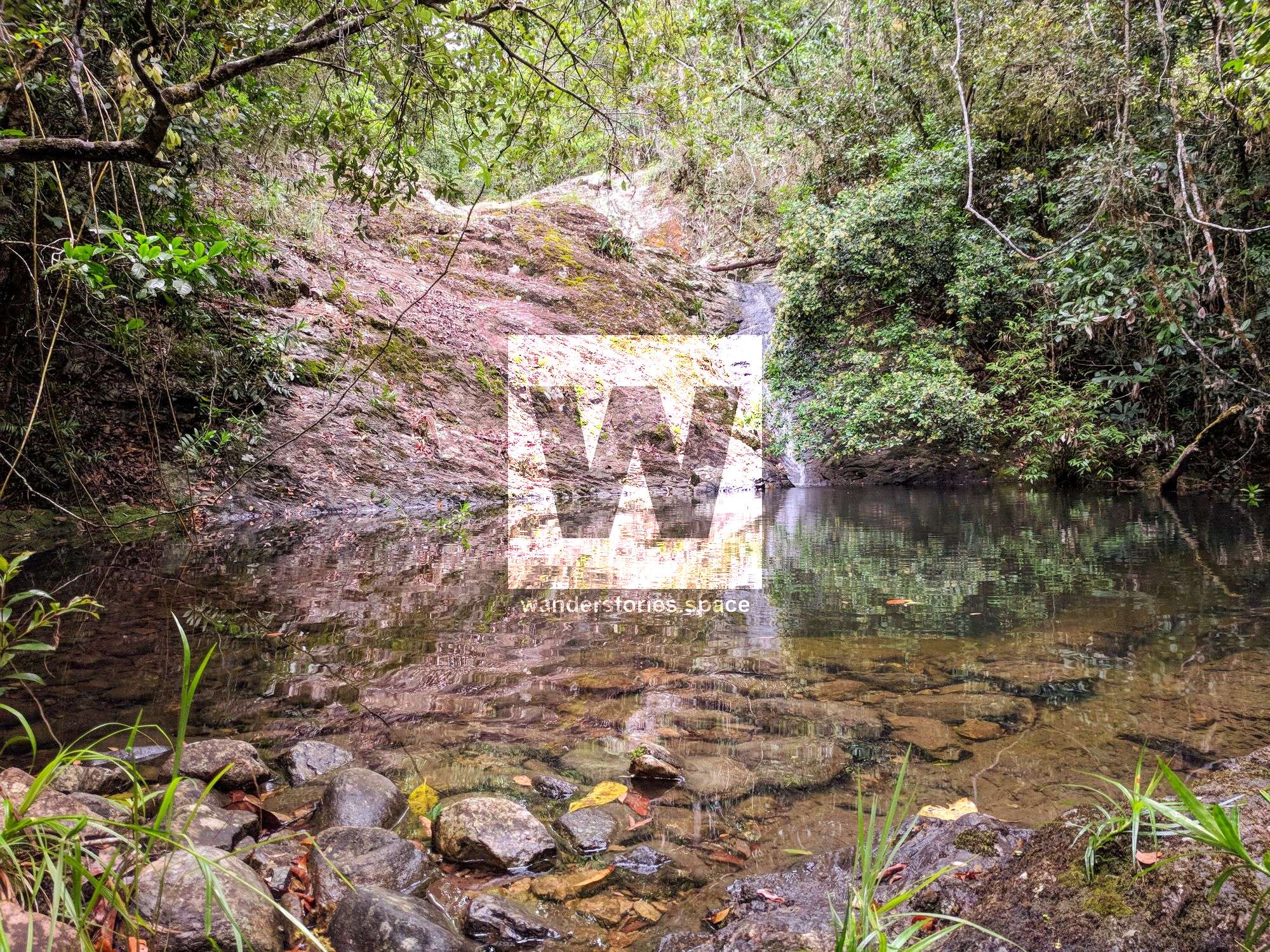
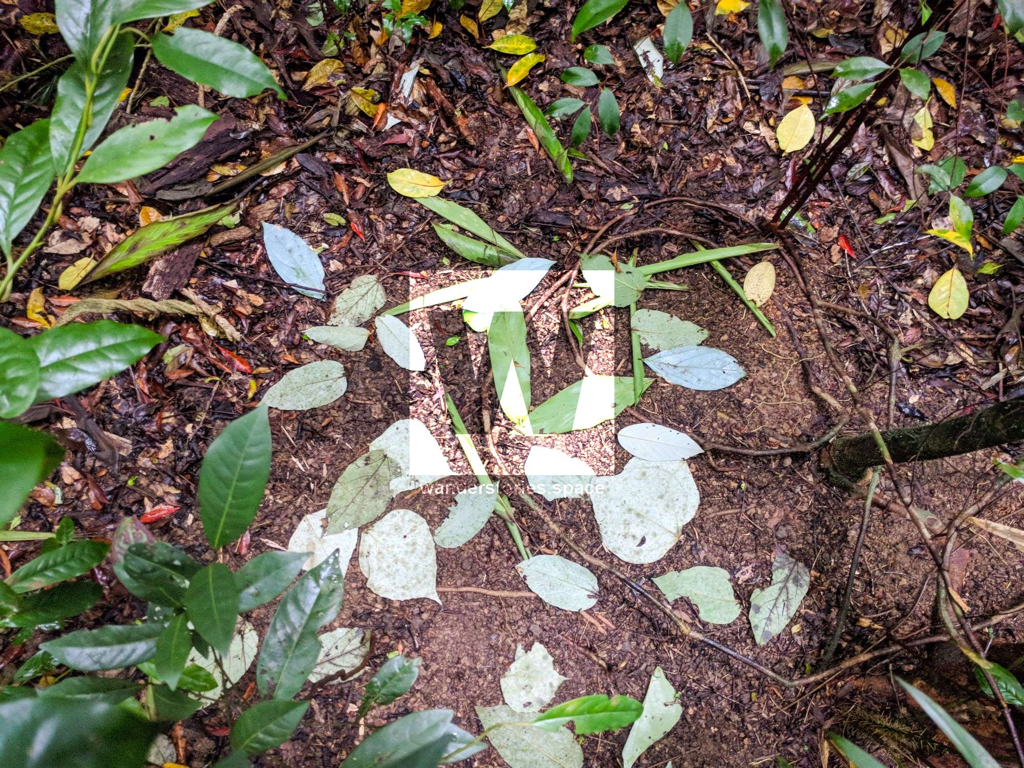
Smith Creek Falls is a small cascade that is hidden deep within the Paluma Range National Park. It is located about 14 km south of Paluma Township. The track follows an old logging road for about 10 km before following a ridge for another 4 km down to Smith Creek.


Location - Paluma Range National Park, Queensland, Australia
Difficulty - Medium, grade 4, for experienced bushwalkers
Distance - Approximately 28 km, return
Time - Allow 8-12 hours, return
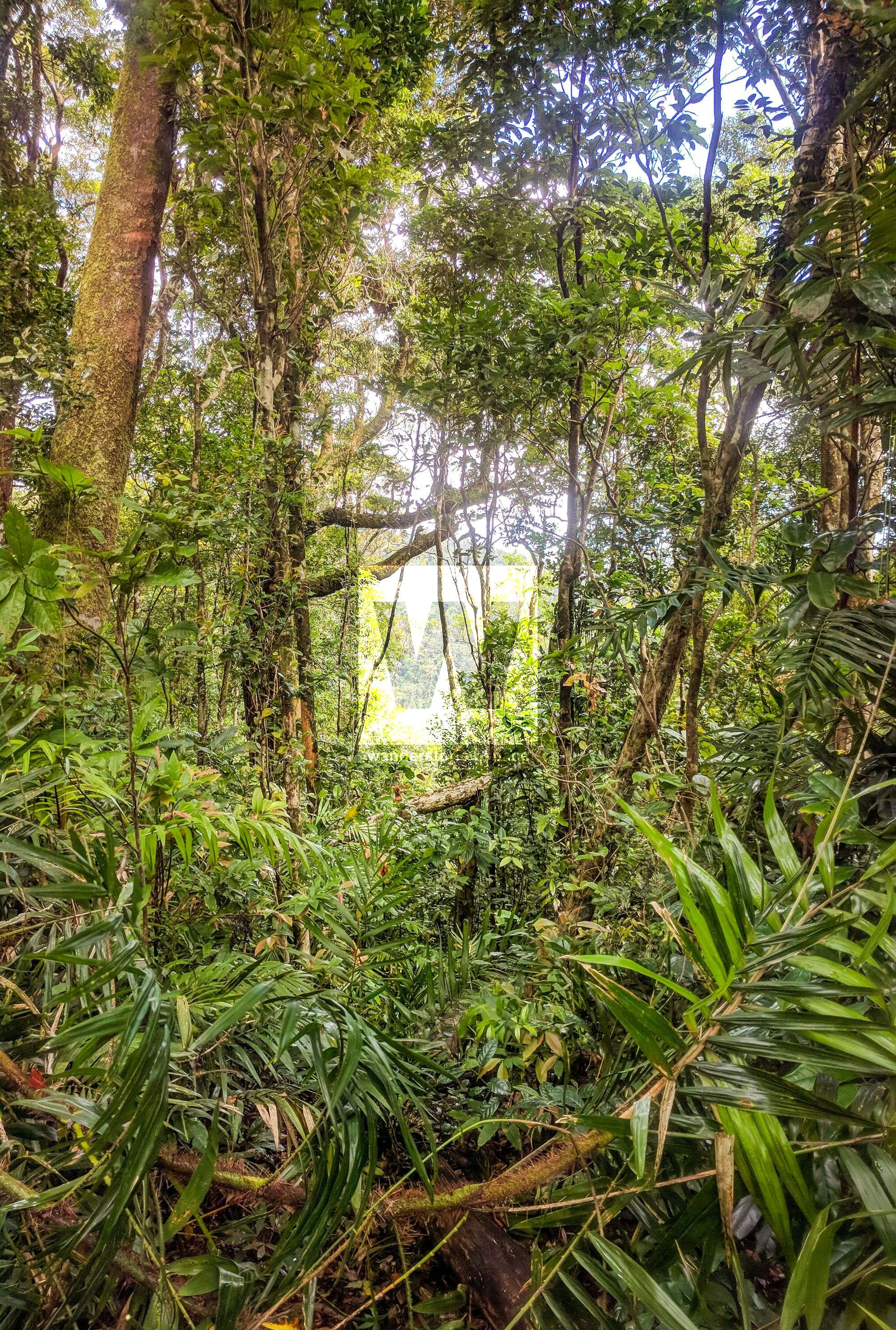
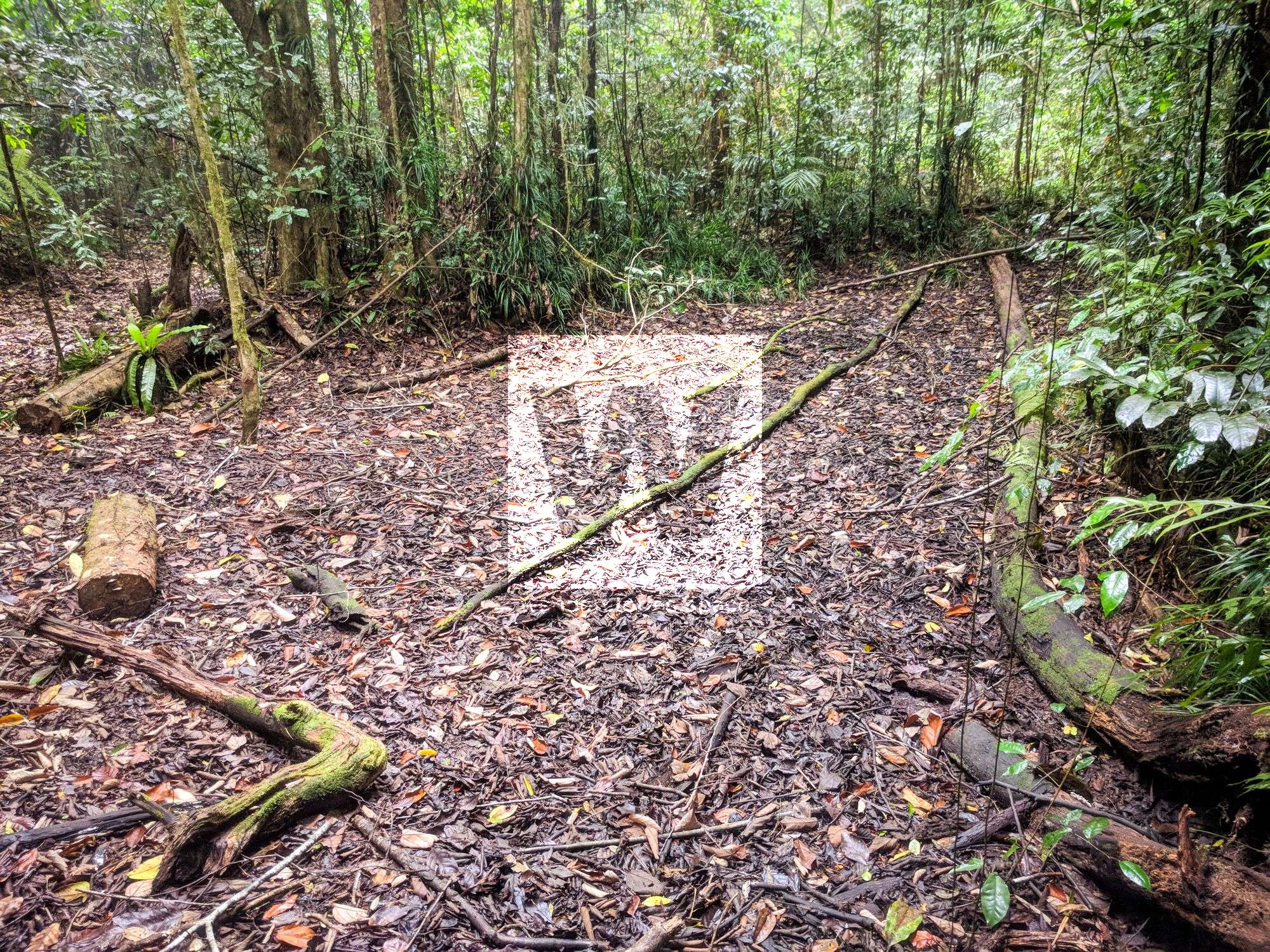
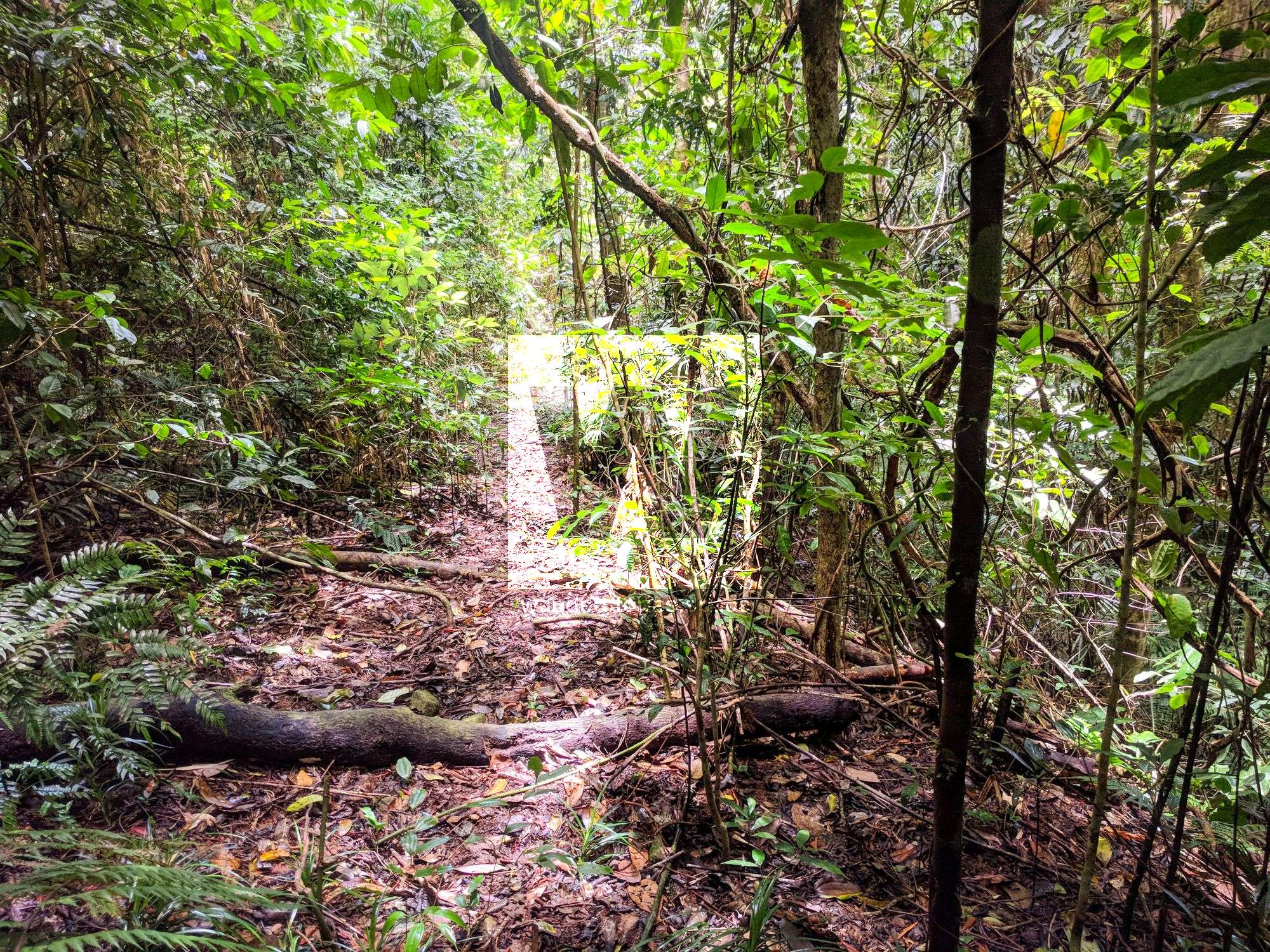
Smith Creek Falls is a small cascade that is hidden deep within the Paluma Range National Park. It is located about 14 km south of Paluma Township. The track follows an old logging road for about 10 km before following a ridge for another 4 km down to Smith Creek. The track to Smith Creek Falls is continuously being recut by national park volunteers (namely Wilfred and Jamie). Although this is a newly maintained trail, good navigational skills are still necessary.
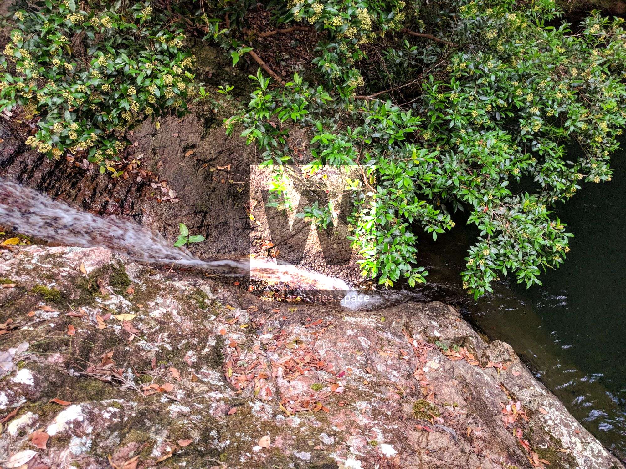
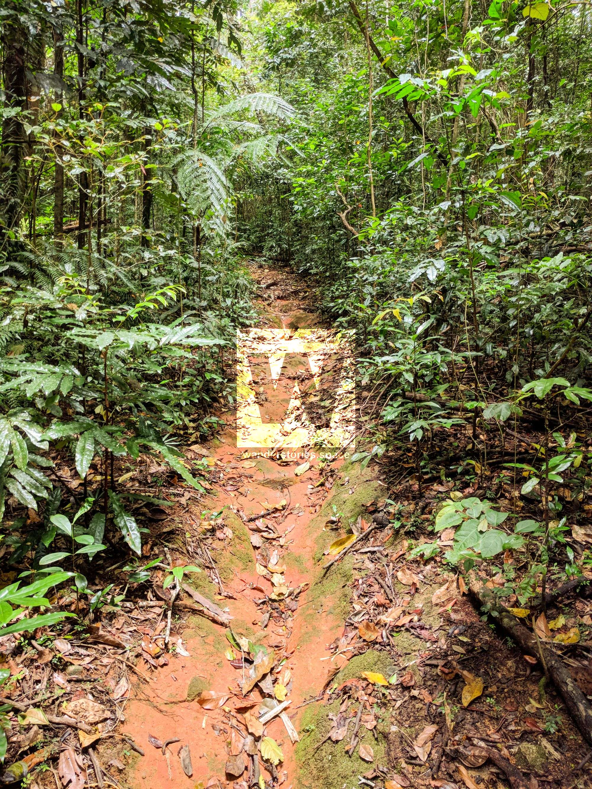
To start, park your car as if you are going to McClelland's Lookout. Then, walk down Mount Spec Road, passing the re-vegetation site on your left. Note that the Cloudy Clearing Mine will be on the opposite side of the road. Proceed until you reach the Paluma-Rollingstone-Bluewater (a.k.a. PRB) trailhead. Then, follow the old logging road for about 10 km. From here, the trail becomes a bit harder to follow, but continue down the ridgeline, pass through a gully, and then you will descend into Smith Creek.
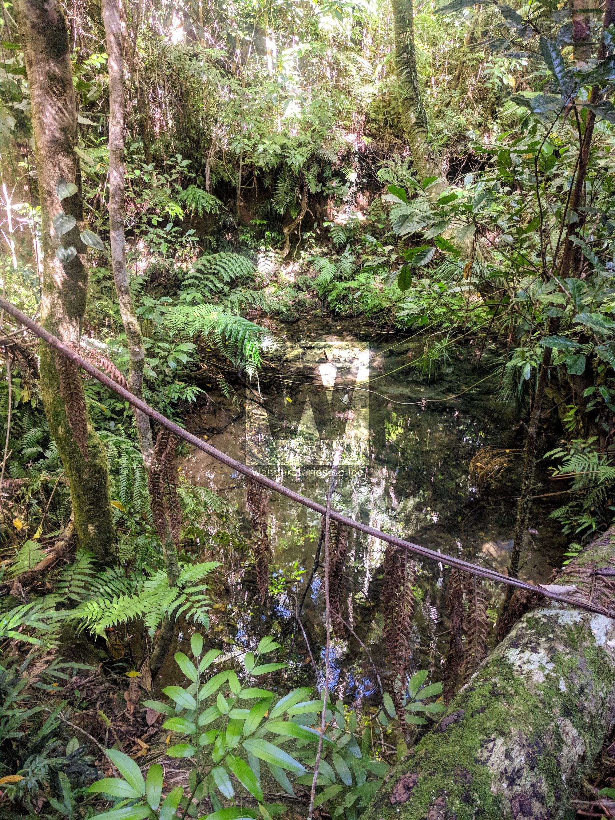
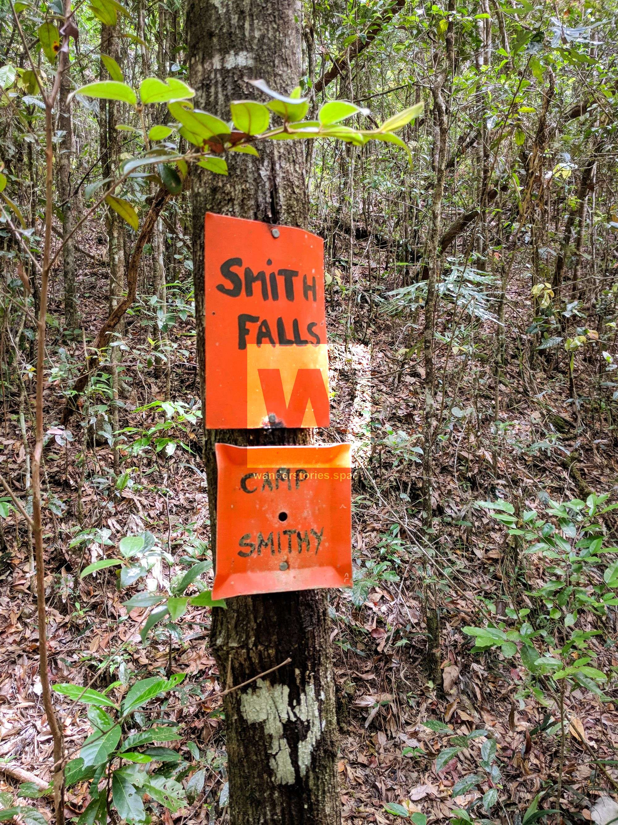
Once you arrive at Smith Falls, you can enjoy a refreshing swim and refill your water. Note, however, that it is recommended to treat your drinking water. At Smith Falls, there is room for two small tents and several hammocks in case camping is on your agenda. Indeed, the timing, distance, and location of this hike provide a nice opportunity for a secluded, overnight, weekend getaway.
The trail then continues southward along the PRB Track; however, this part of the trail is unmaintained and requires excellent navigational skills. It should be emphasised that the old PRB Track is hard to follow. Because the logging operations were shutdown before they could connect the north and south logging roads together, what was left was a 10 km stretch of bush bashing.
If you are inclined to travel southward along the PRB Track, however, Ollera Valley Lookout is a great sight to see. However, because there has never been a trail cut through here, there will be no markers. Proceed at your own risk.
Interactive Map
Here's the an interactive map of the area. Note that you can see the trail
This article, and all other articles, are for entertainment purposes only and are not to be used as a guide. Please see our Disclaimer for more information.