The Saddle
The Saddle offers an accessible summit 3 km uphill from the heritage-listed Little Crystal Creek Bridge.

Location - Paluma Range National Park, North Queensland, Australia
Distance - ~600 metres return
Duration - Allow 30 mintues return
Grade - 4, medium
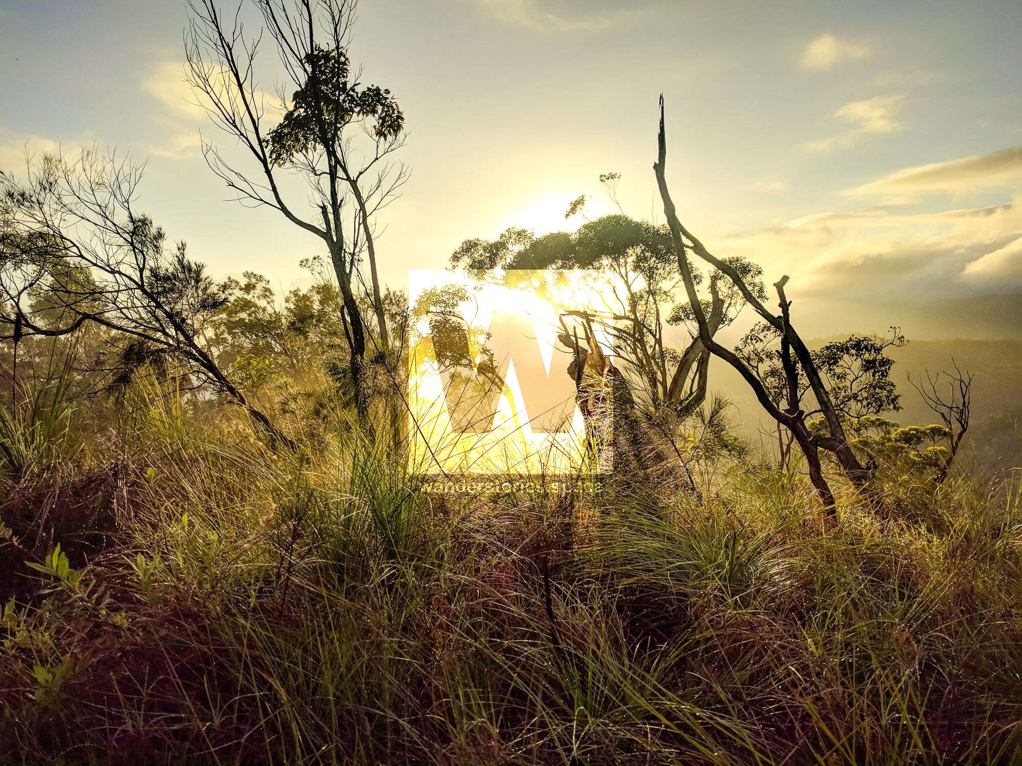
One of the easiest peaks to summit - because of such sparse vegetation and because the track begins just off the road - is The Saddle (510m). The Saddle is just uphill from the Little Crystal Creek Bridge, a bridge listed as part of the Wet Tropics UNESCO World Heritage Site. Just over 3 km uphill from the bridge, off the side of Mount Spec Road, you'll see an old construction site camp from when the road was built in the 1930s. At this point, you'll head northeast (right) just over 300 m to the summit. The summit is largely grasslands with views of the other valleys, such as Big and Little Crystal Creek Valleys, and ridgelines in the area. There used to be a road called "Saddle Road" that proceeded from The Saddle all the way down to Spiegelhauer Road, which takes you to the rockslides and Paradise Waterhole. Sections of this old road can still be made out if you're walking in the area, and the road is still visible on the QTopo topographical map.
Interactive Map
This article, and all other articles, are for entertainment purposes only and are not to be used as a guide. Please see our Disclaimer for more information.