Explore Benham Falls
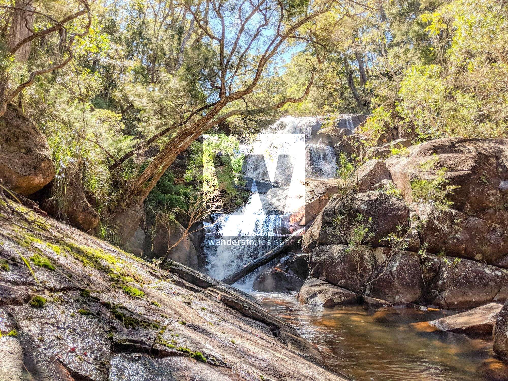
Located within Paluma Range National Park in North Queensland, Benham Falls is a small cascading waterfalls in Hermit Creek. Access to these falls is via Paluma Dam.


Location - Paluma Range National Park, Queensland, Australia
Difficulty - Moderate, off-track creek rock hopping
Distance - 5 kilometres
Time - 1-2 hours
Grade - 4
Located within Paluma Range National Park in North Queensland, Benham Falls is a small cascading waterfalls in Hermit Creek. Access to these falls is via Paluma Dam. For more history on this area, see the Hermit Creek and Benham's Track article.
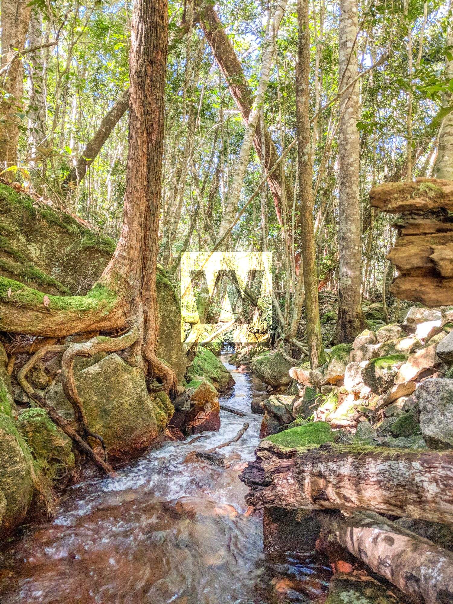
As you wander downstream of Hermit Creek from Benham's Track, the first thing you'll notice is the water race, not far from the road. Left behind from the old tin mining days, this water race, although manmade, looks amazing with the mossy sides. Mines are located in the area.
Benham Falls is also not far from the road and is an ideal 2 hour walk from the Paluma Dam camping area. Back in 1966, army reservists, while on exercise, discovered this minor waterfall system near the dam, which they named Benham Falls in honour of Arthur Benham.

Other great half-day walks from the Paluma Dam camping area include Ethel Falls and Crystal Falls.
How to get there
Visit Benham Falls from Paluma Dam approximately two hours return. From the Paluma Dam car park, cross the dam wall, and walk 3.5 km on the dirt road, taking the left fork towards Hermit Creek. Follow the creek a few hundred metres downstream past the mining remains to the falls.
Best time of year to go?
Just after the wet season is the best time because it has already started to cool down. Furthermore, the falls look beautiful with a large volume of water flowing through them.
What to bring
- Backpack
- Water for the day (or refill via the creek, as long as you sterilise your water)
- Food and snacks
- Sunscreen
- Mossie spray
- Dry bag
- First Aid Kit & PLB (Personal Locator Beacon)
- Navigation gear - map & compass and/or GPS unit
Interactive Map
Here's an interactive map of the area.
This article, and all other articles, are for entertainment purposes only and are not to be used as a guide. Please see our Disclaimer for more information.