How to get to the top of Flagstone Falls
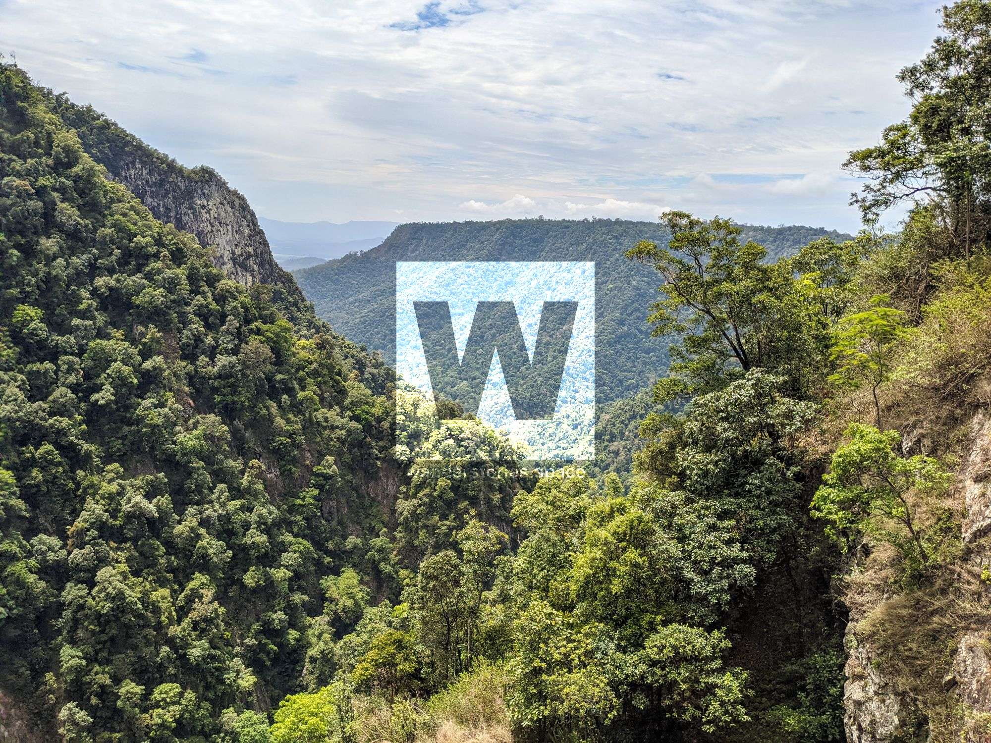
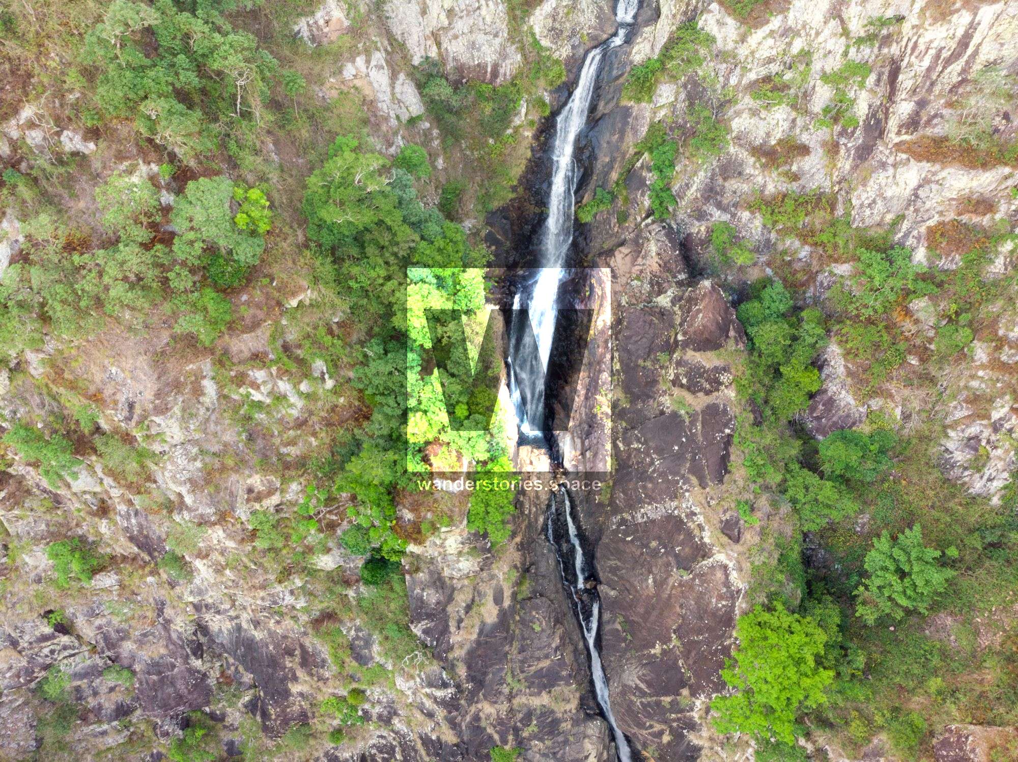
Flagstone Falls is an impressive multi-terraced waterfalls that drop down the range 300 metres.

Location - Girringun National Park, North Queensland, Australia
Distance - ~27 km return from the second gate (or ~38 km return from the first gate at Wallaman Falls)
Duration - ~5-7 hours return
Difficulty - Grade 5, mostly on-track
Flagstone Falls is an impressive multi-terraced waterfalls that drop down the range 300 metres.
How to get there
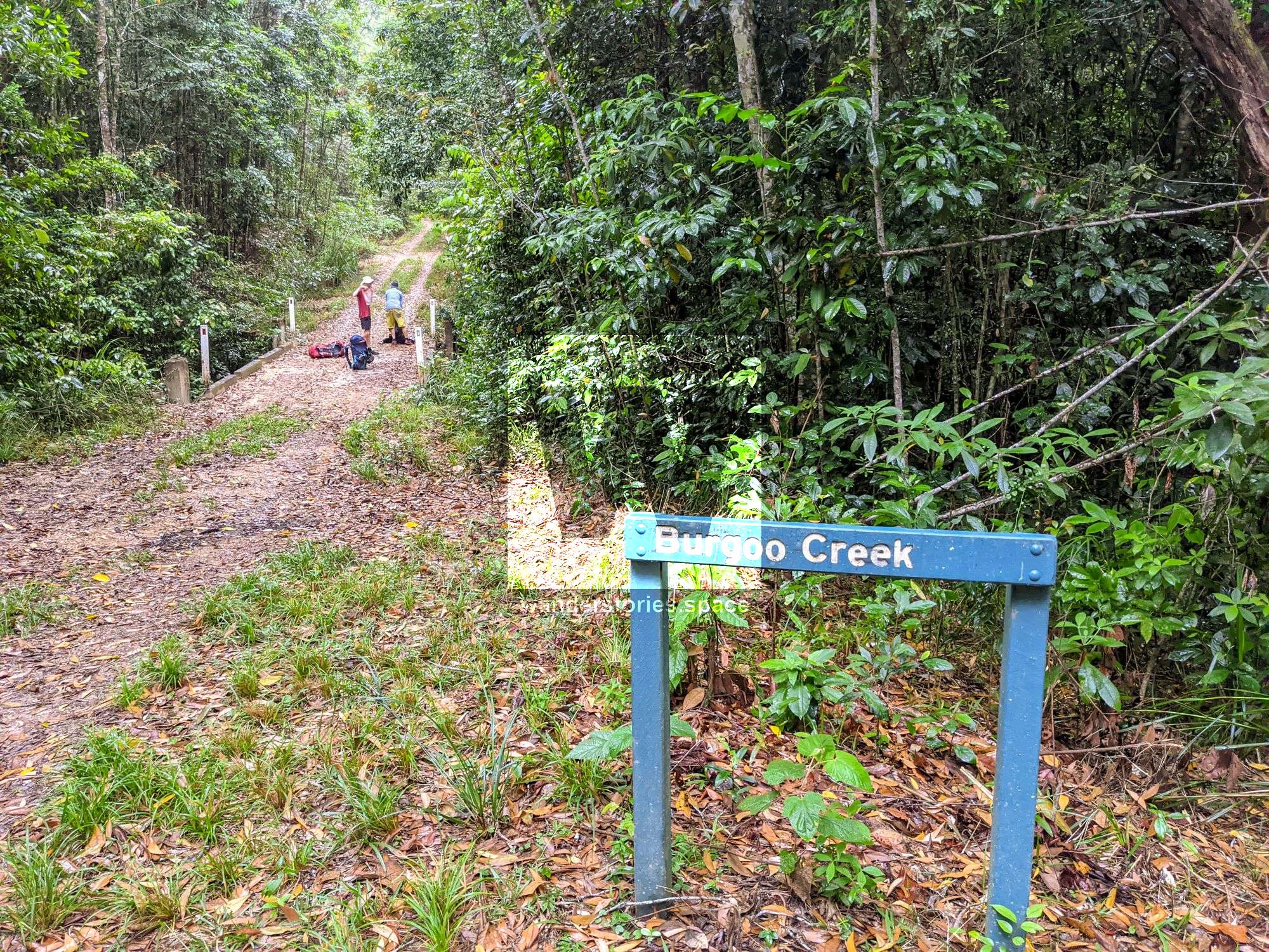
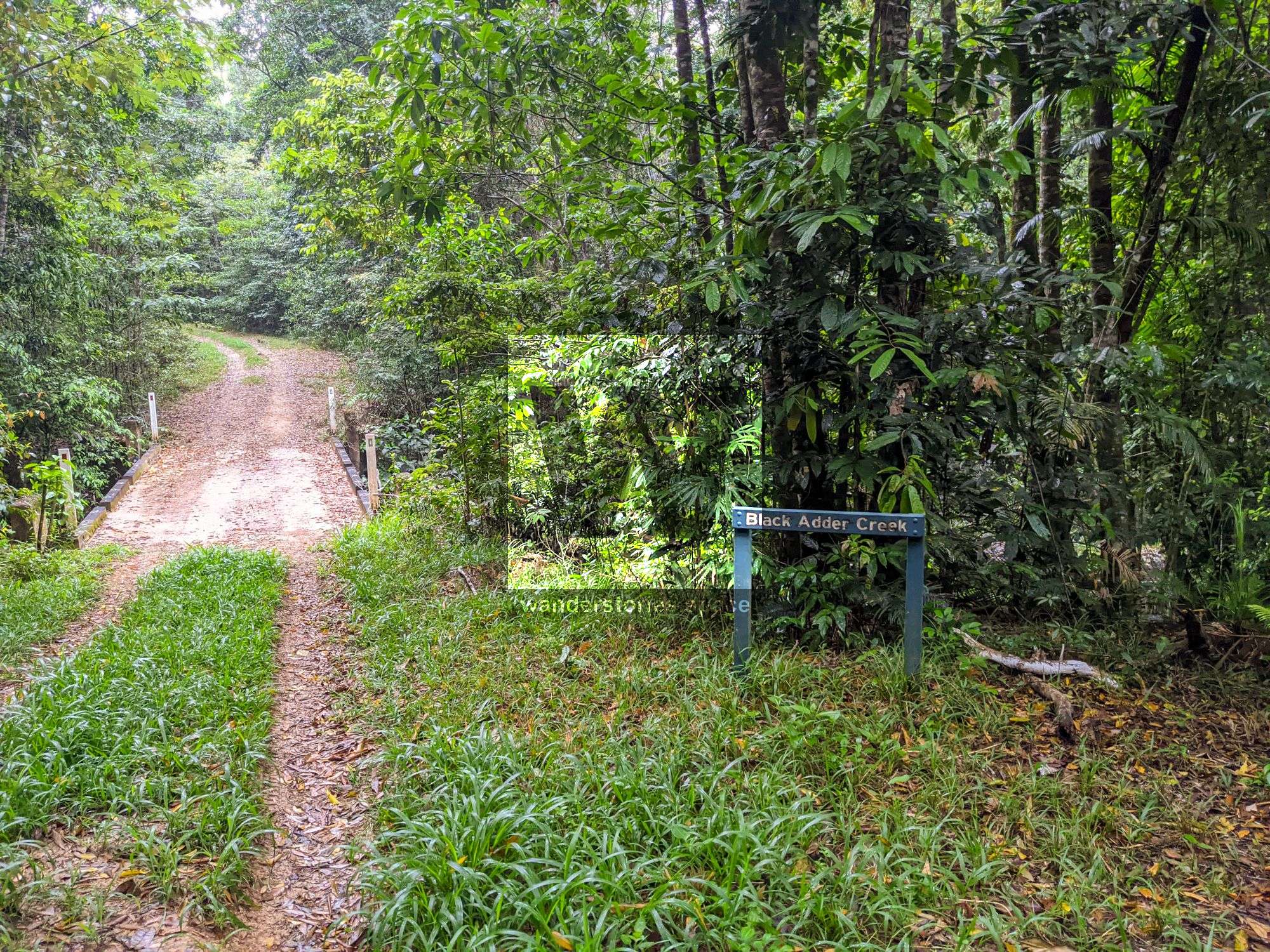
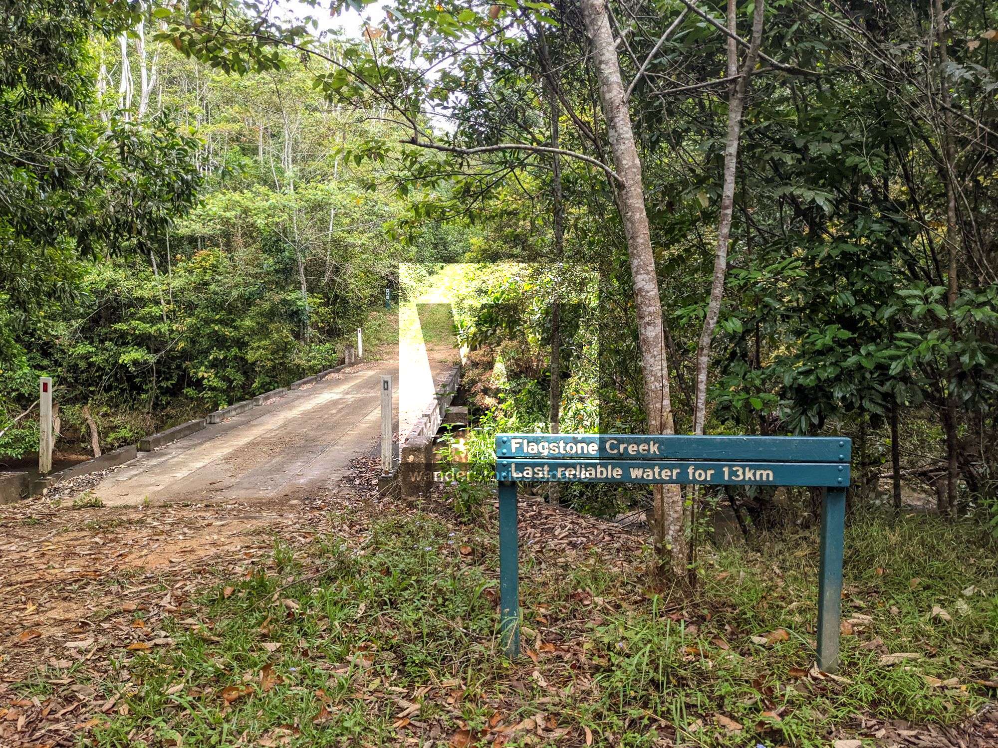
Drive to Wallaman Falls and continue past the camping ground. Cross Stony Creek bridge and soon after is a gate. Either park your car here and walk to the second gate, or continue onto the second gate (room for one or two cars). Walk along Garrawalt Road until you reach Garrawalt Creek Bridge. Continue across the bridge and past Burgoo Creek bridge and Black Adder Creek bridge before arriving at Flagstone Creek.
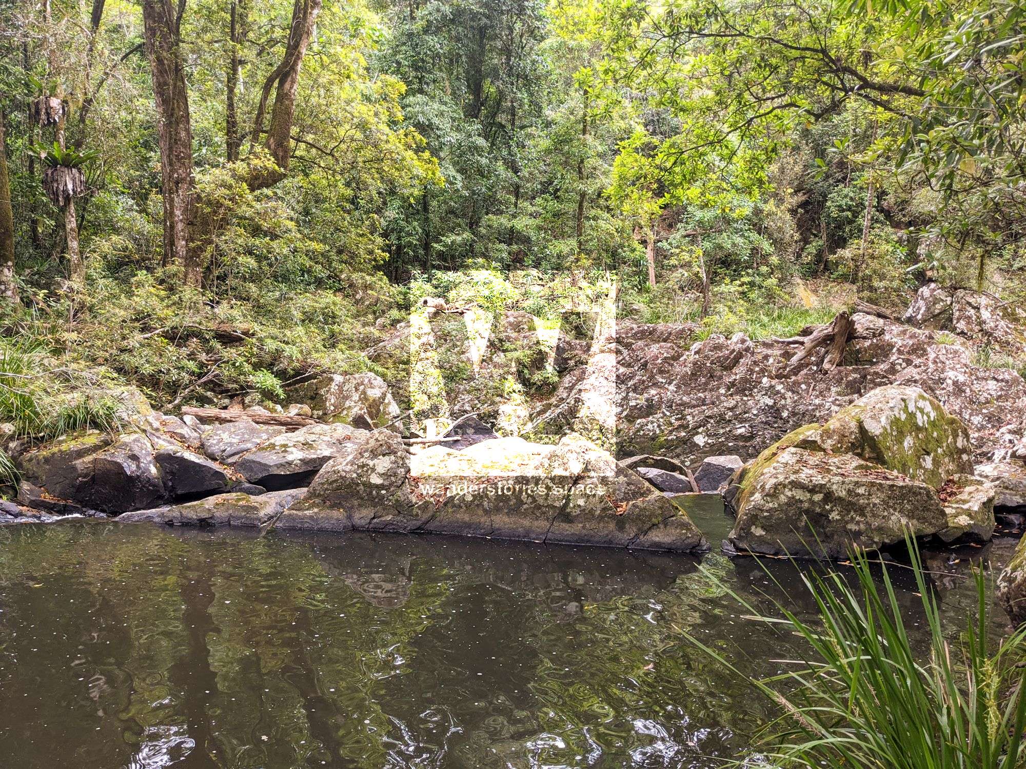
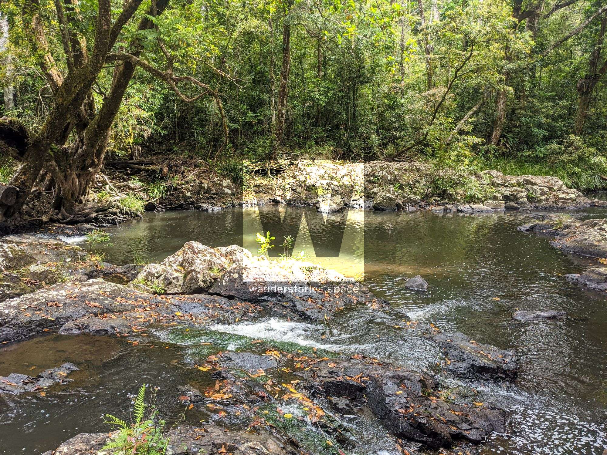
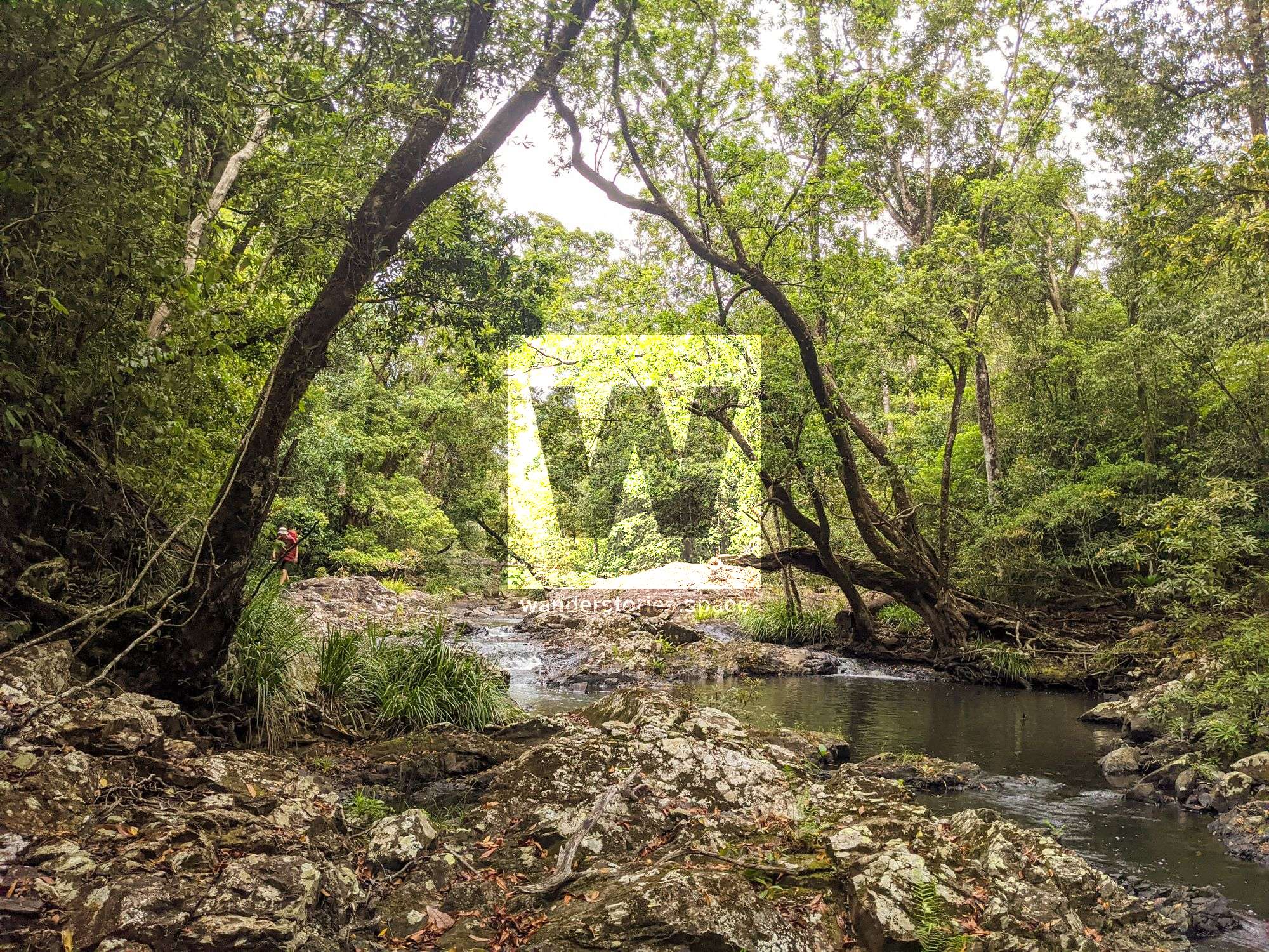
Make your way downstream just on the edge on the right side of the creek.
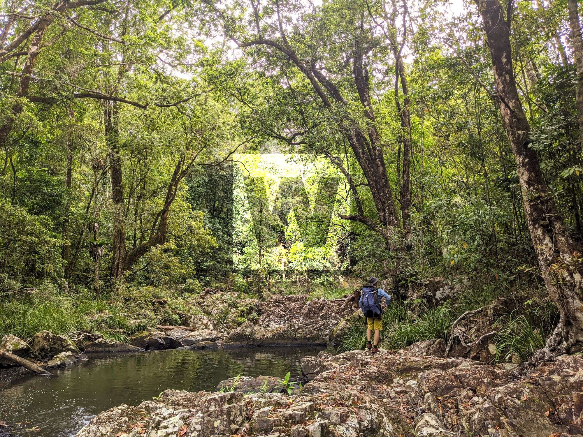
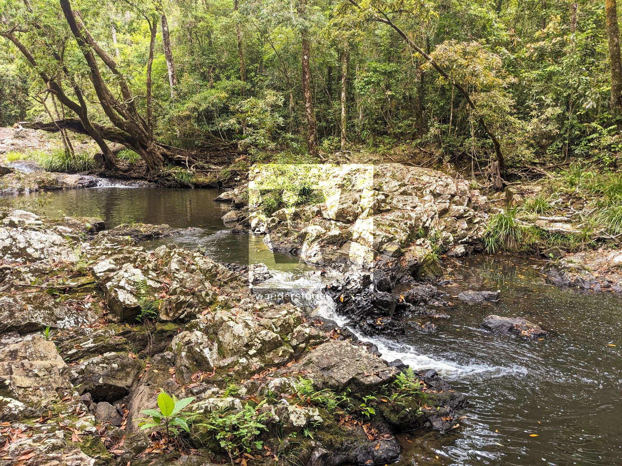
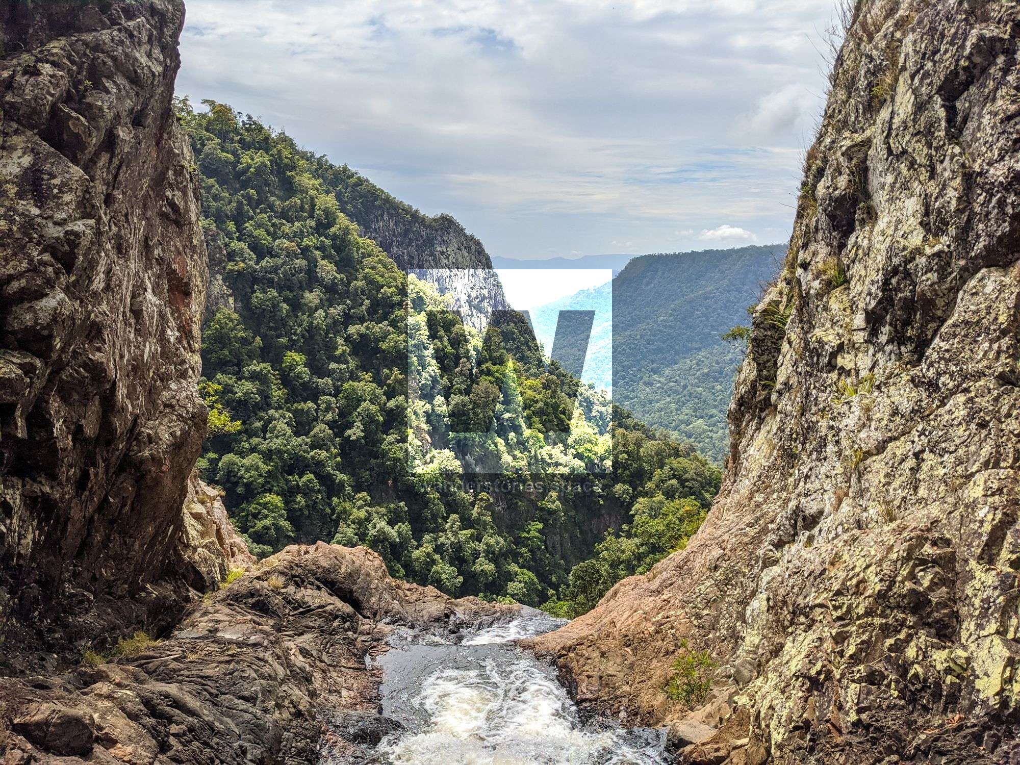
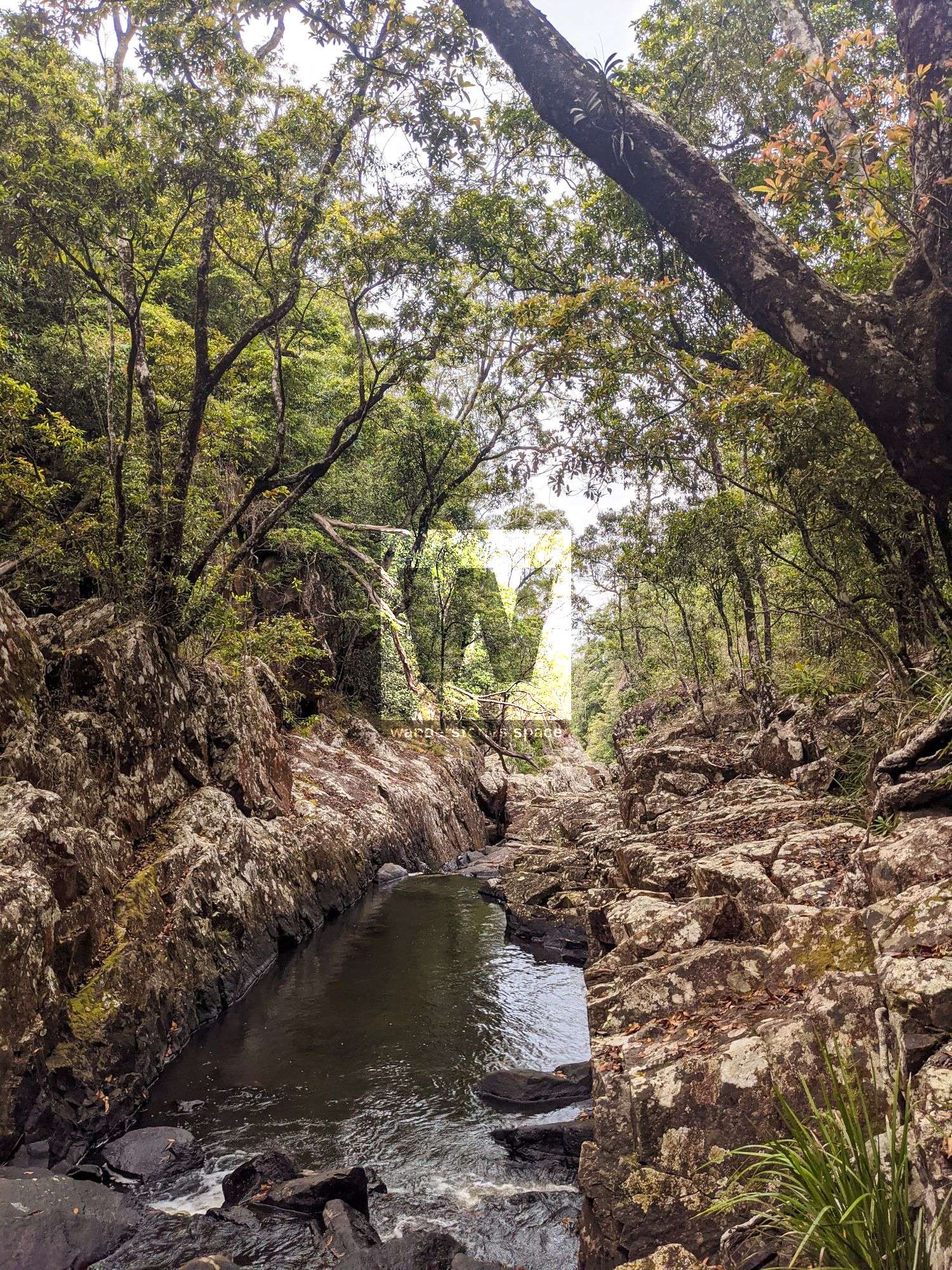
Very soon you will arrive at the mini-slot canyon.
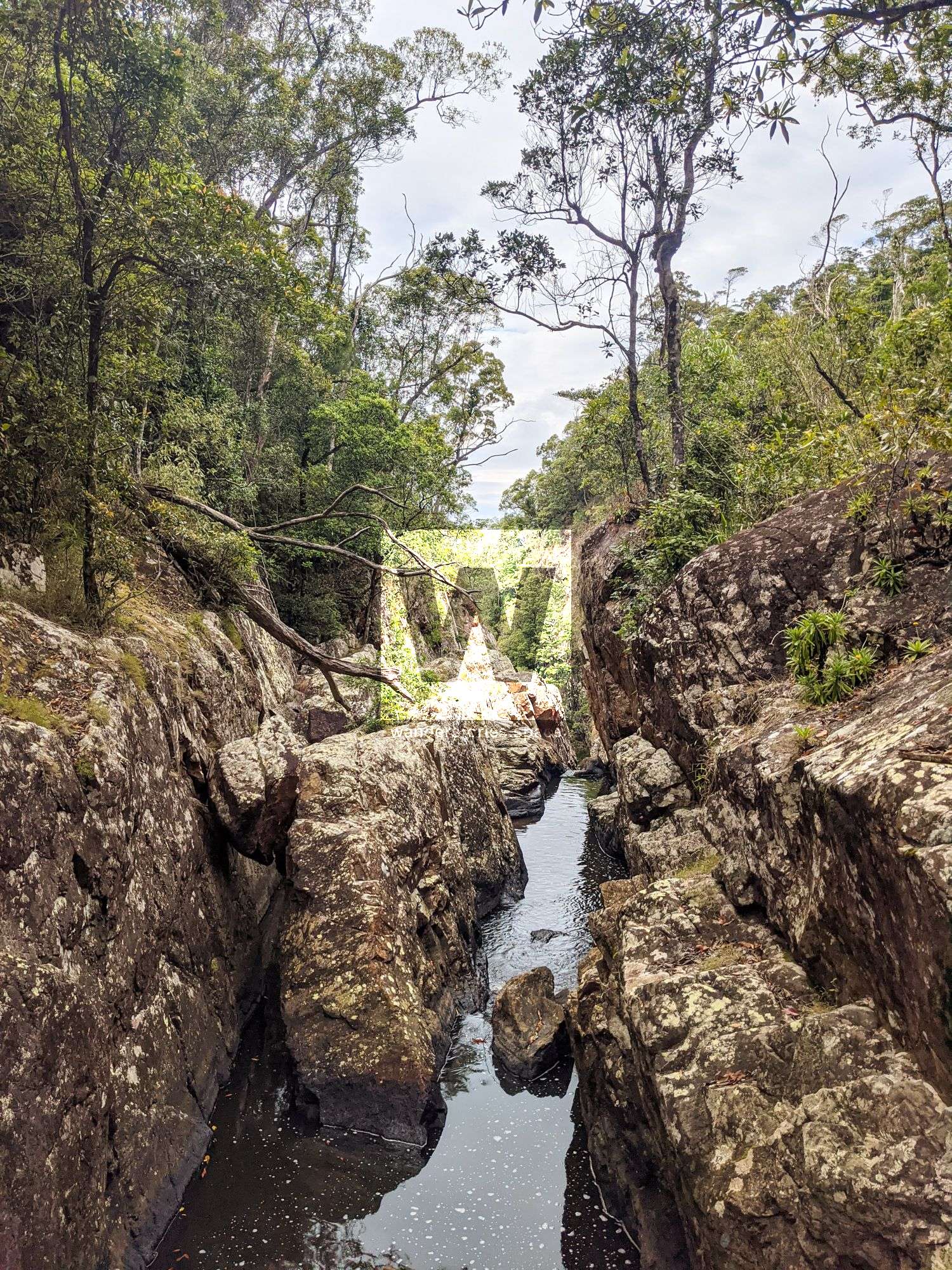
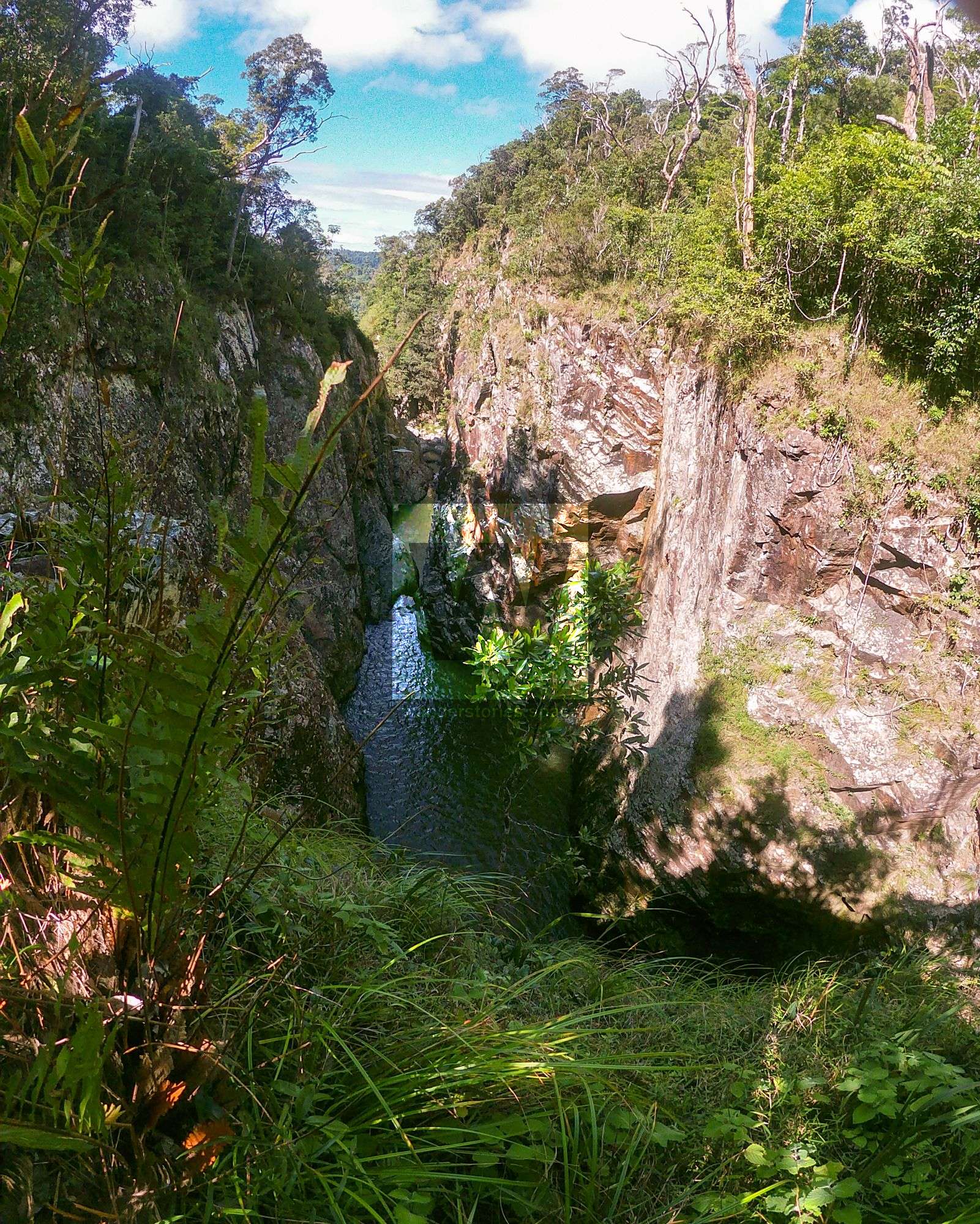
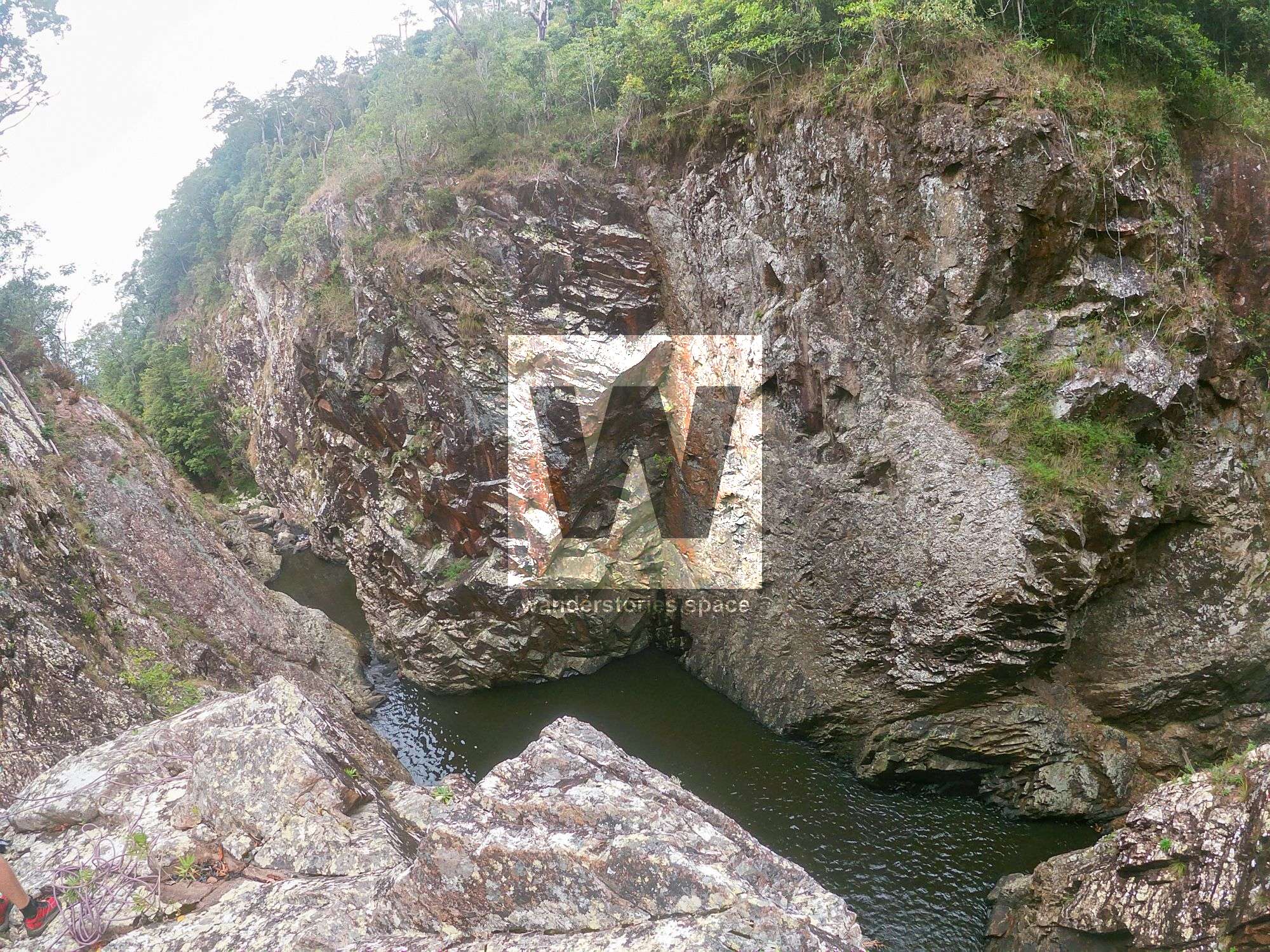
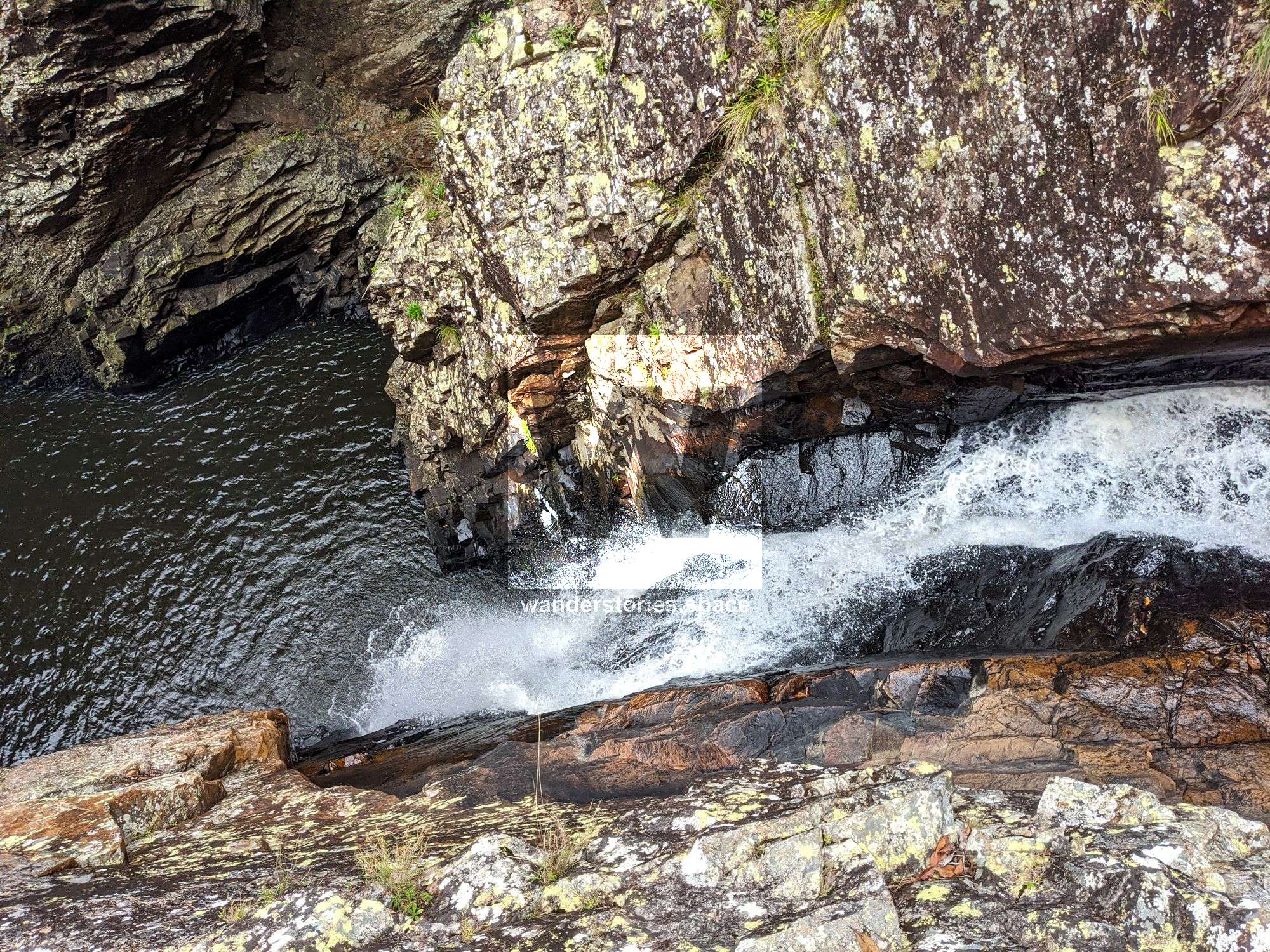
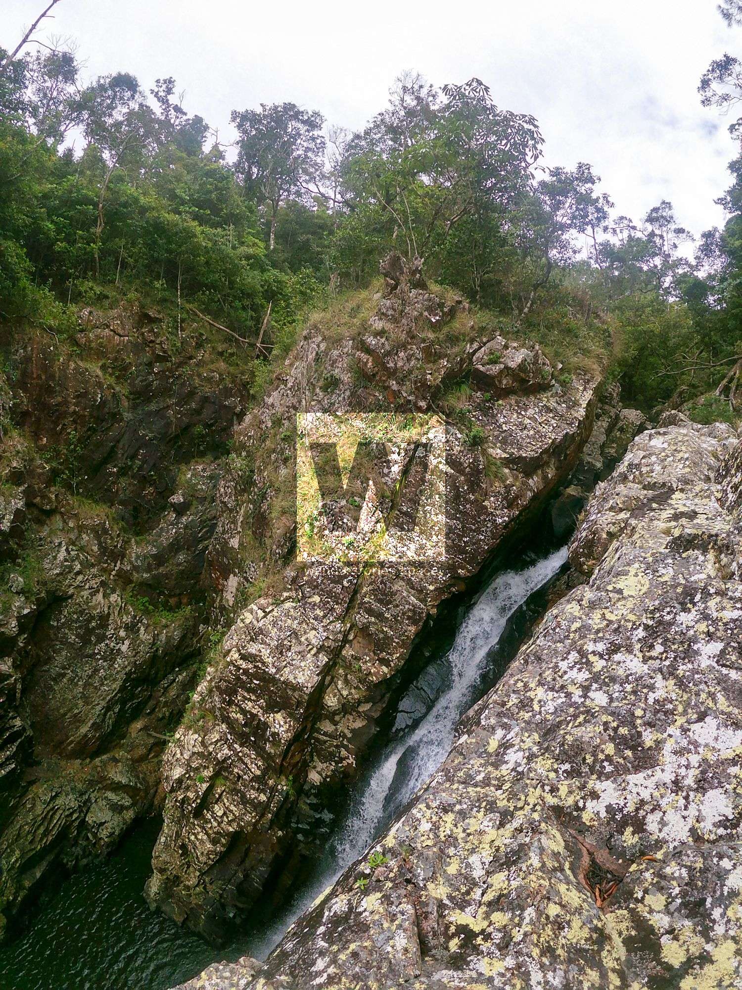
Scramble up and around to the right to get a good view of the drop off and the top of main drop of Flagstone Falls.
Interactive Map
This article, and all other articles, are for entertainment purposes only and are not to be used as a guide. Please see our Disclaimer for more information.