Fletchers Creek and Burdekin River camping area
There are several great highlights of this area: fossilised limestone, ancient lava flows, and, of course, the Burdekin River. The reserve is also the place of the former Dalrymple township, which was one of the first inland settlements in northern Australia.

Location - Charters Towers, North Queensland, Australia
There are several great highlights of this area: fossilised limestone, ancient lava flows, and, of course, the Burdekin River. The reserve is also the place of the former Dalrymple township, which was one of the first inland settlements in northern Australia. Similar areas along the Burdekin River is Big Bend, Flat Rock, and Macrossan Park. The Burdekin River provides a seasonal habitat for waterbirds making this camping area ideal for birdwatchers.
The Gudjal Aboriginal people welcome you to their land.
Fletcher Creek camping area
This camping reserve is beside Fletcher Creek, 42 km north of Charters Towers near the entrance to Dalrymple National Park, with access via Gregory Developmental Road.
There are areas on both sides of the creek and both sides of the road. There are three areas: North of the Creek, Eastern side, toilets and DP here. South of Creek, Eastern side open grassed area, minimum other facilities, South of Creek, Western sde, grass area, picnic tables, shade trees. Camps are connected by a footbridge over the creek. You are surrounded by lovely bird life, like black cockatoos and hawks. The best part of this campground is being able to camp right on the water's edge.
The site provides flushing toilets, cold showers, sheltered picnic tables, and wood barbecues and is suitable for tent-based camping, caravans, or camper trailers. This rest area is free with a maximum of four weeks stay. There's plenty of room for all size RVs. There is also a day-use section of this area.
Burdekin River camping area
This camping area is a peaceful setting on the banks of the Burdekin River, with no facilities. Vehicle-based bush camping is permitted on the south-western bank of the Burdekin River at four cleared campsites under the gum trees. No facilities are provided, however, camping permits are required and fees apply - book online.
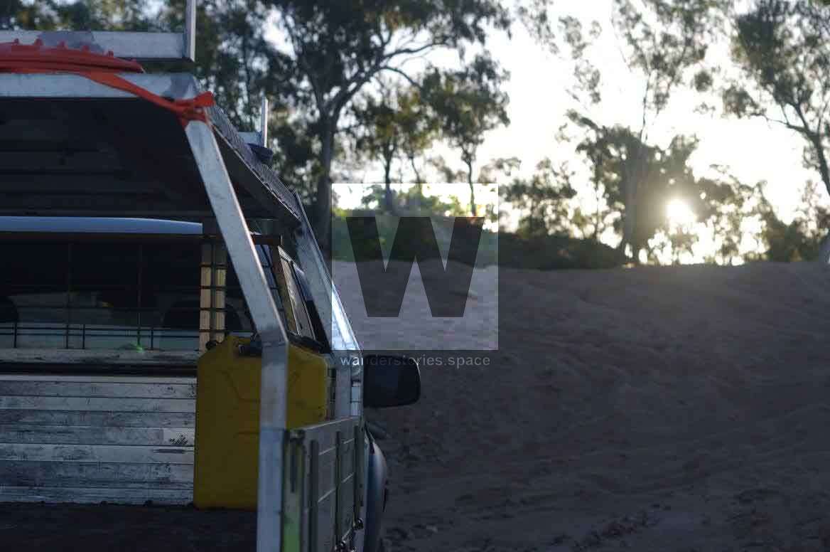
Access is along an unsealed section of road to the camping area and is only accessible to four-wheel-drive vehicles. It can become boggy and impassable with minor rainfall. Proceed with care in times of wet weather, especially if travelling with a trailer. The road is closed during wet periods, which may occur between November and March.
It is possible to drive in via Dotswood or Mingela, through Dalrymple National Park and crossing the Burdekin River to get here.
Interactive Map
This article, and all other articles, are for entertainment purposes only and are not to be used as a guide. Please see our Disclaimer for more information.