How to get to Garrawalt Falls
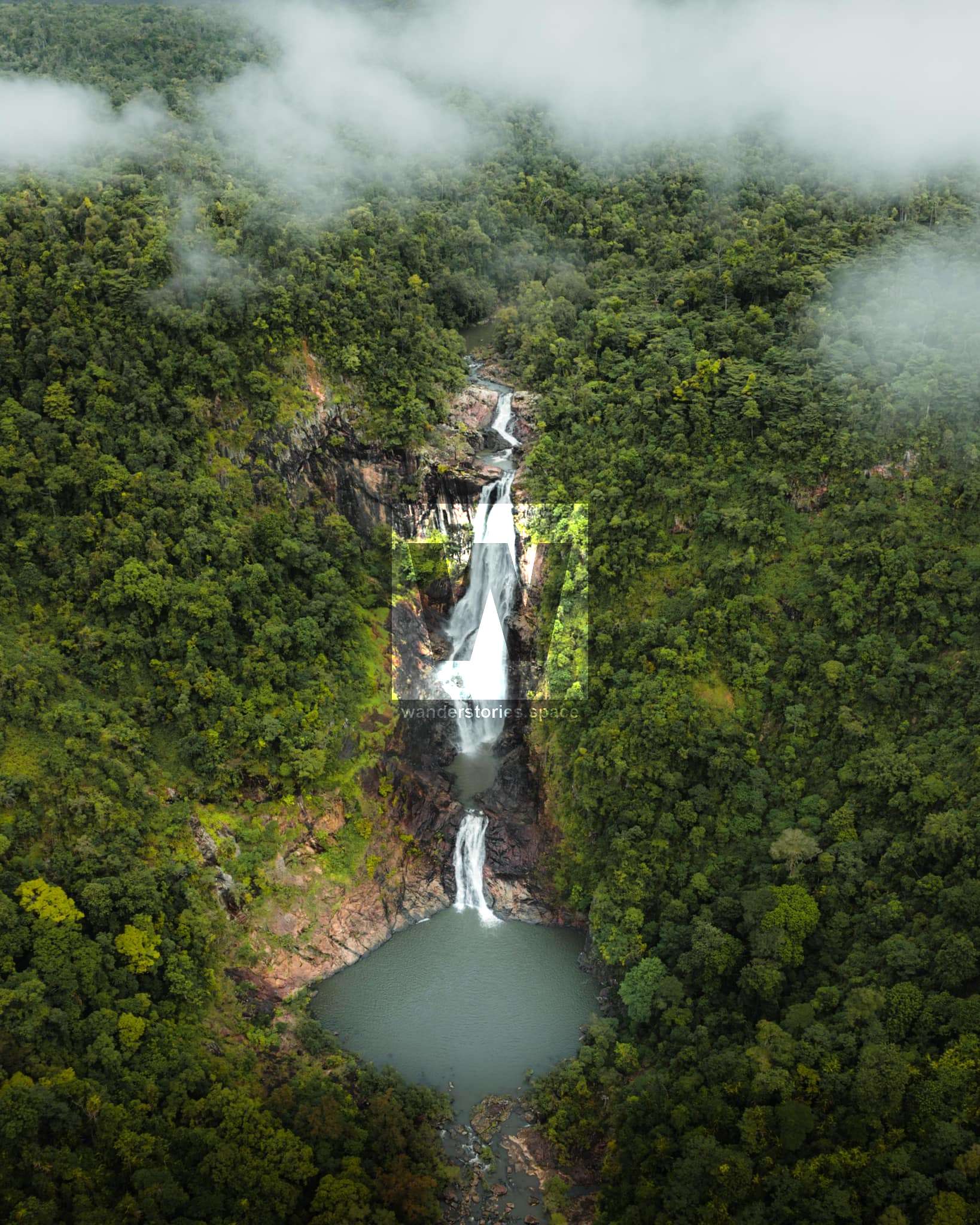
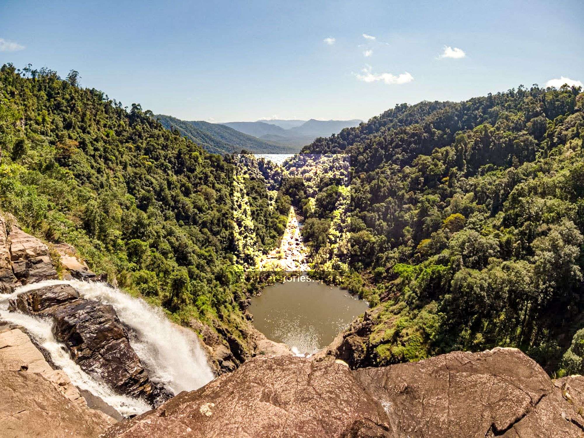
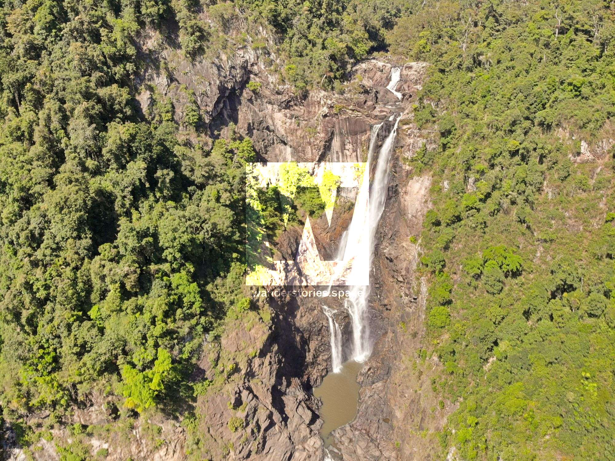
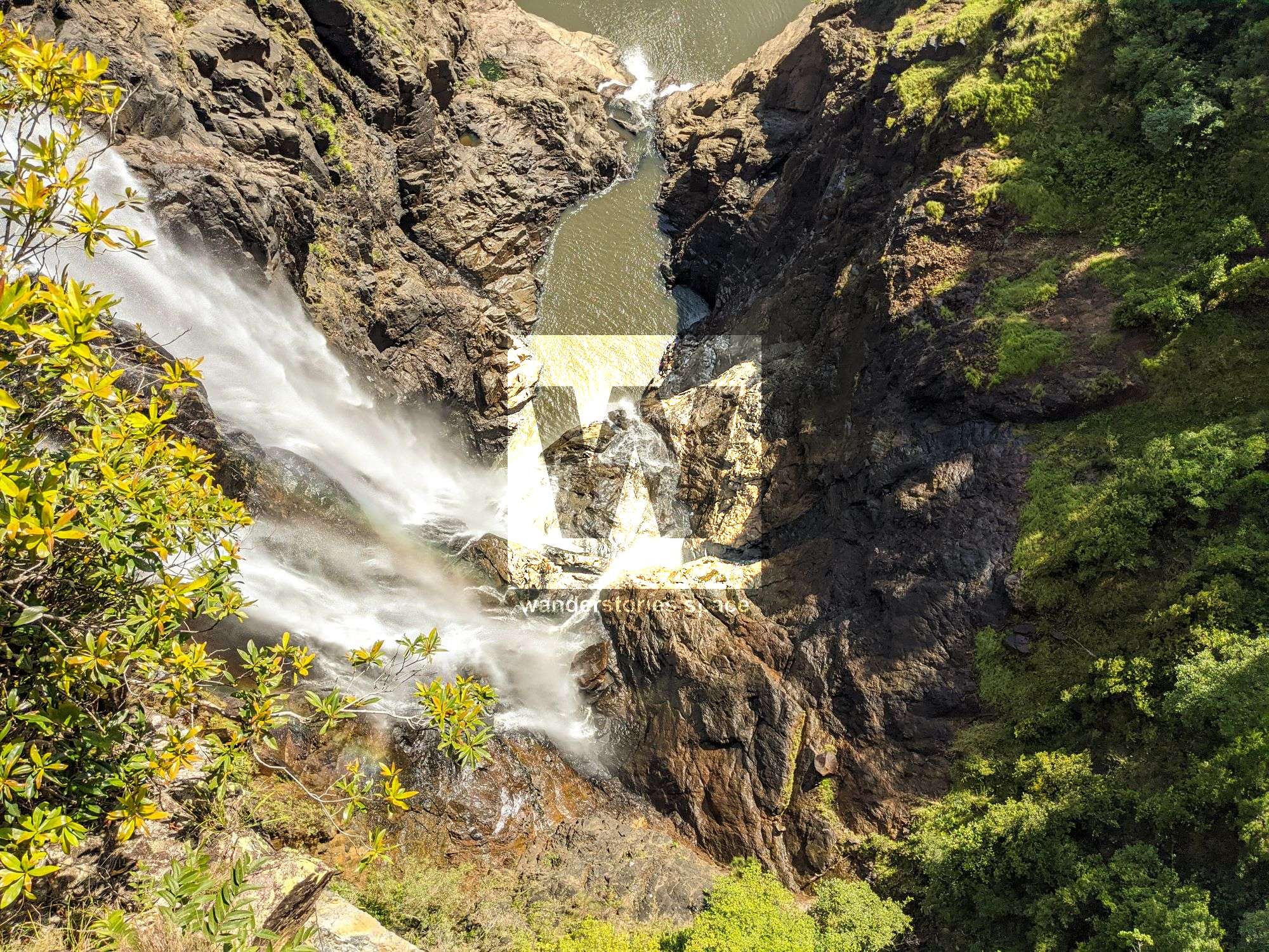
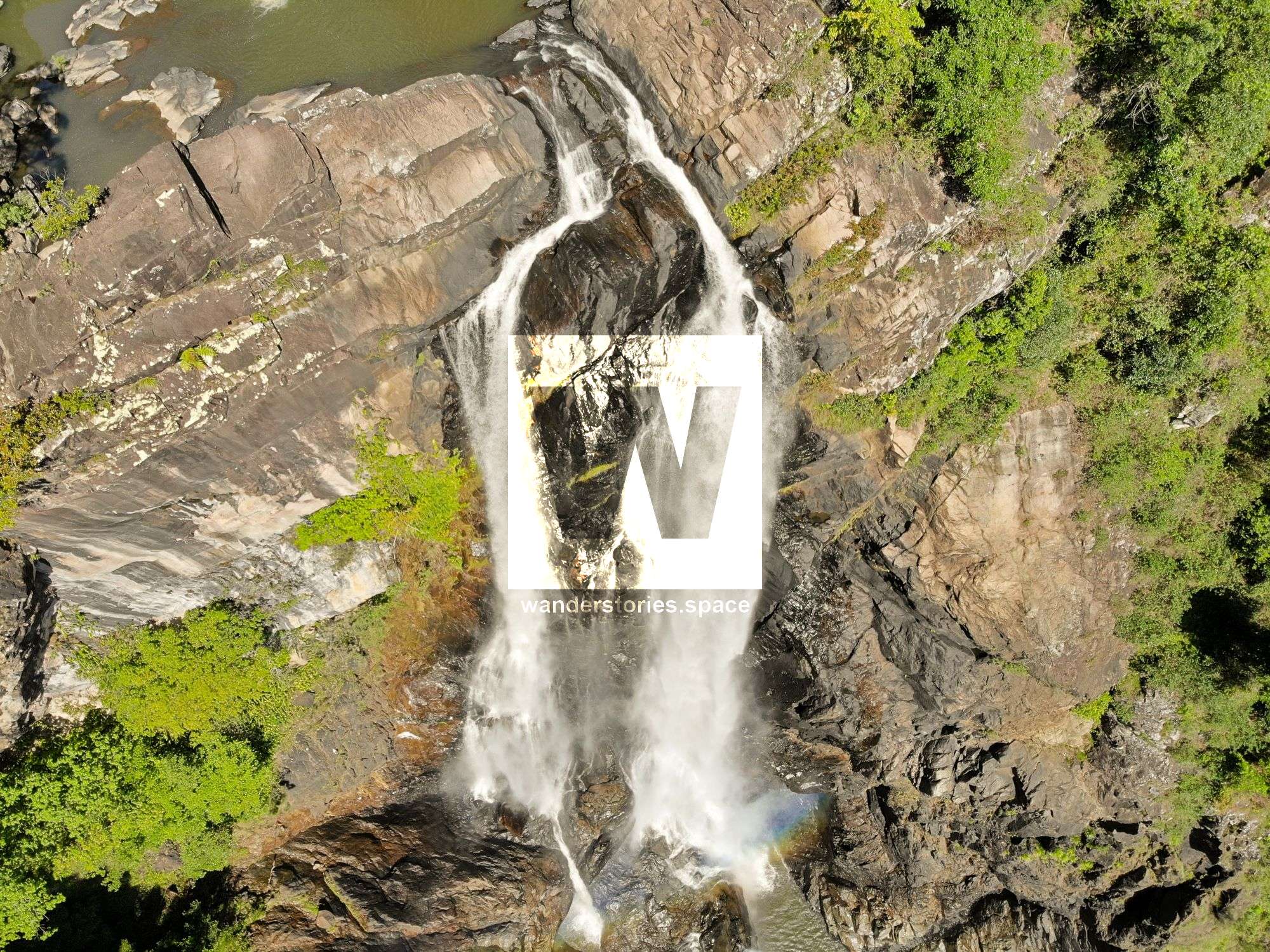
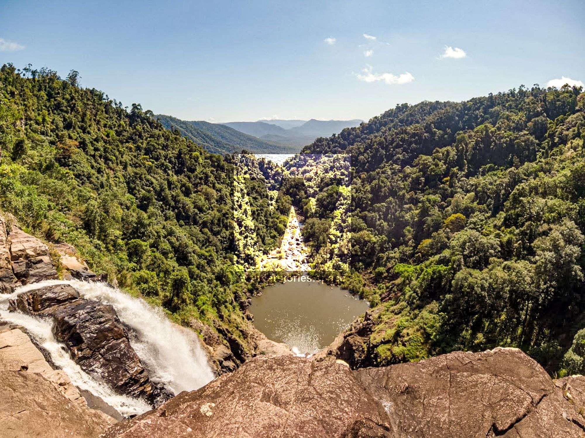
Garrawalt Falls is a scenic area where the creek crops off the Sea View Range escarpment. Although it may not be as spectacular as the nearby Wallaman Falls, Garrawalt Falls has a vertical drop of 90 metres into a gorge followed by a series of cascades into the large pool below.
Location - Girringun National Park, North Queensland, Australia
Distance - ~23 km return from the second gate (or ~34 km return from the first gate at Wallaman Falls)
Duration - ~6-12 hours return
Difficulty - Grade 5, on- and off-track, creek swimming and wading
Garrawalt Falls is a scenic area where the Garrawalt Creek flows over the Sea View Range escarpment. Although it may not be as spectacular as the nearby Wallaman Falls, Garrawalt Falls has a vertical drop of 90 metres into a gorge followed by a series of cascades into the large pool below, called 'the amphitheater' by some.
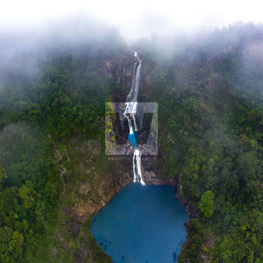
Garrawalt Creek flows north through the Mount Fox area and after meandering through open savannah, oak forests, and jungle scrubs, joins the Herbert River not far upstream from Abergowrie.
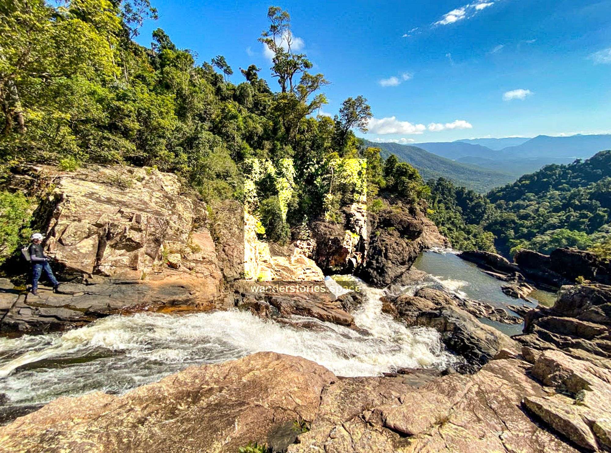
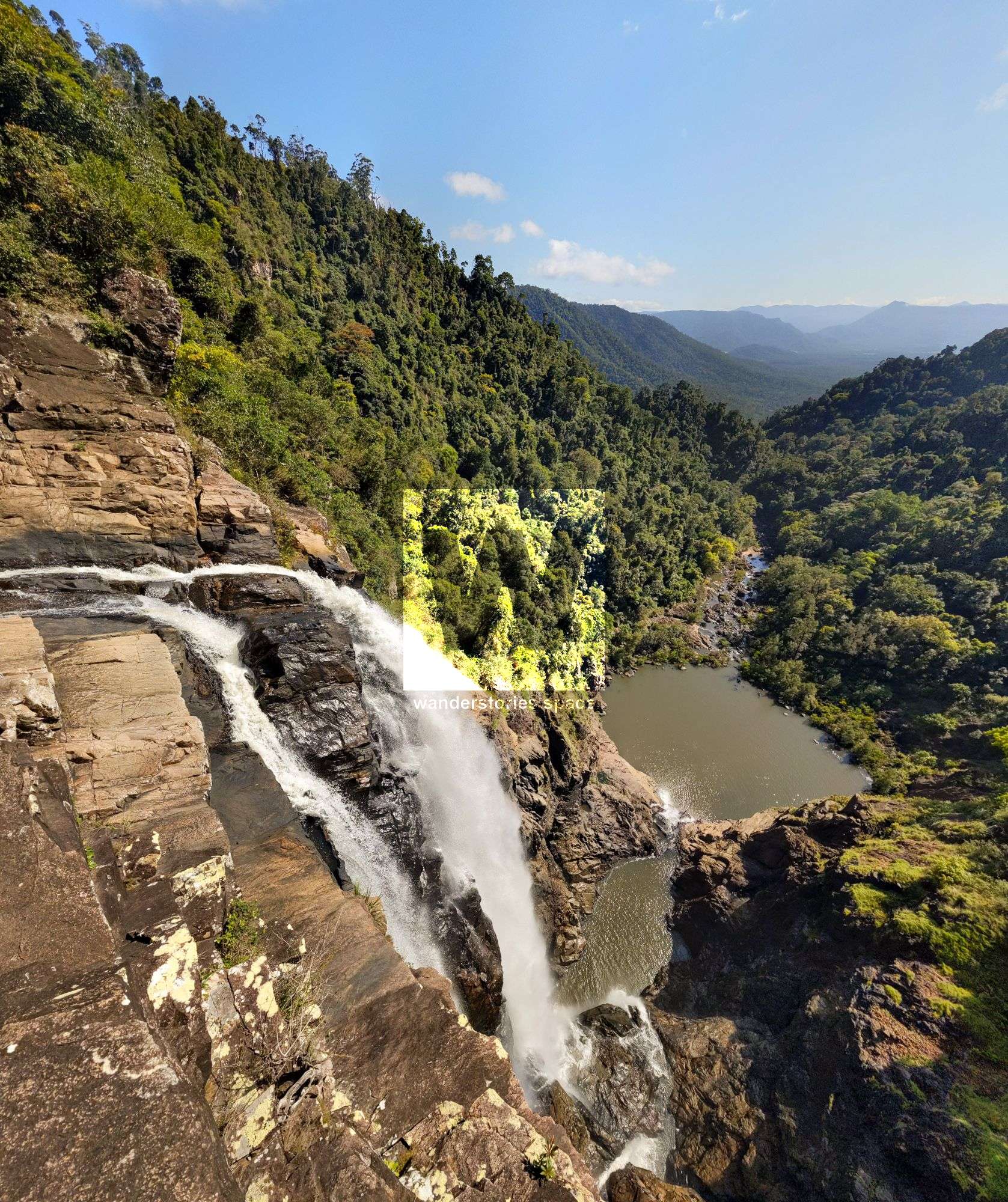
Garrawalt may mean "a resting place in the forest" and with views out along the Garrawalt Valley and down to the Herbert River, who wouldn't want to rest here and take it all in.
How to get there
Drive to Wallaman Falls. Past the camping ground and cross Stony Creek bridge. Soon after the bridge is a gate. Either park your car here and walk to the second gate, or continue onto the second gate (room for one or two cars).
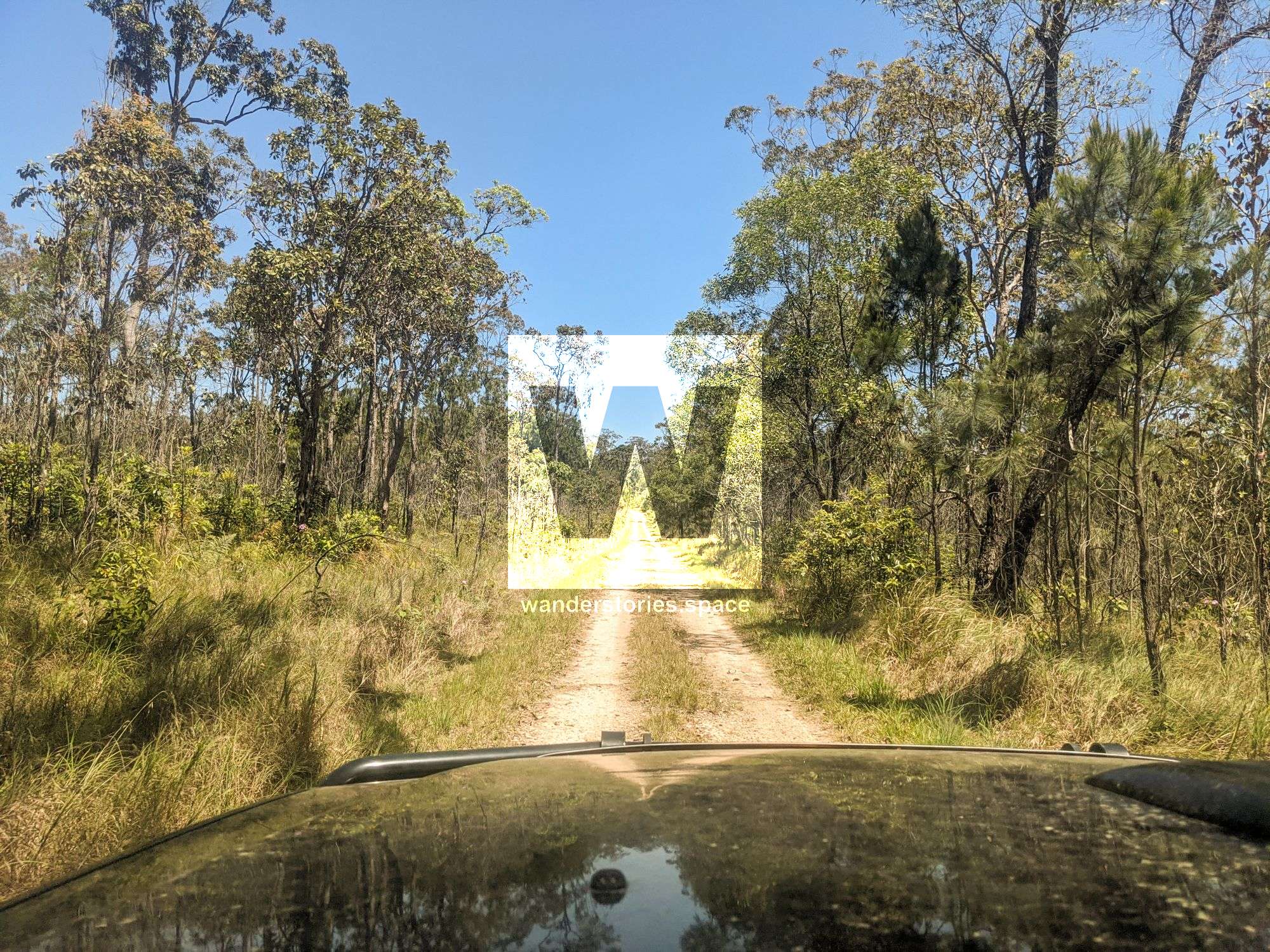
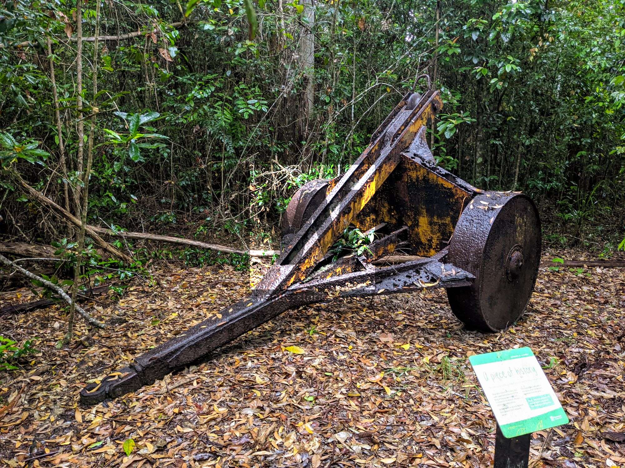
Park your car here and walk along Garrawalt Road until you reach Garrawalt Creek Bridge. Garrawalt Road is part of the great walk. Just before Garrawalt Creek is an old loggers camp where you can see historical artefacts. This also makes for a good campsite with Garrawalt Creek nearby.
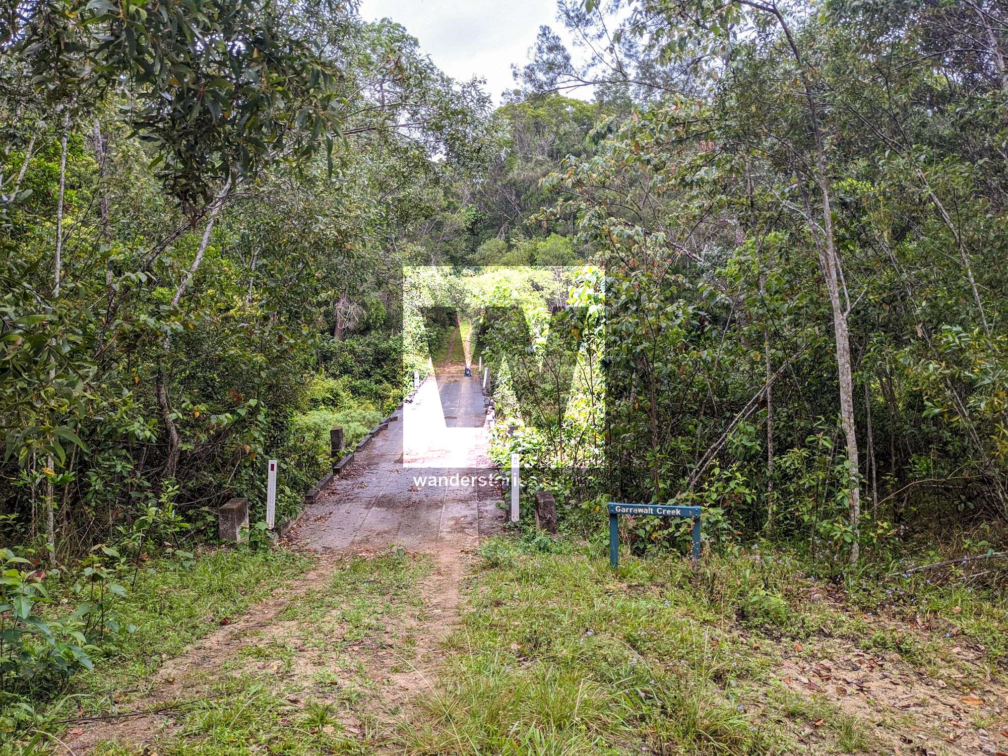
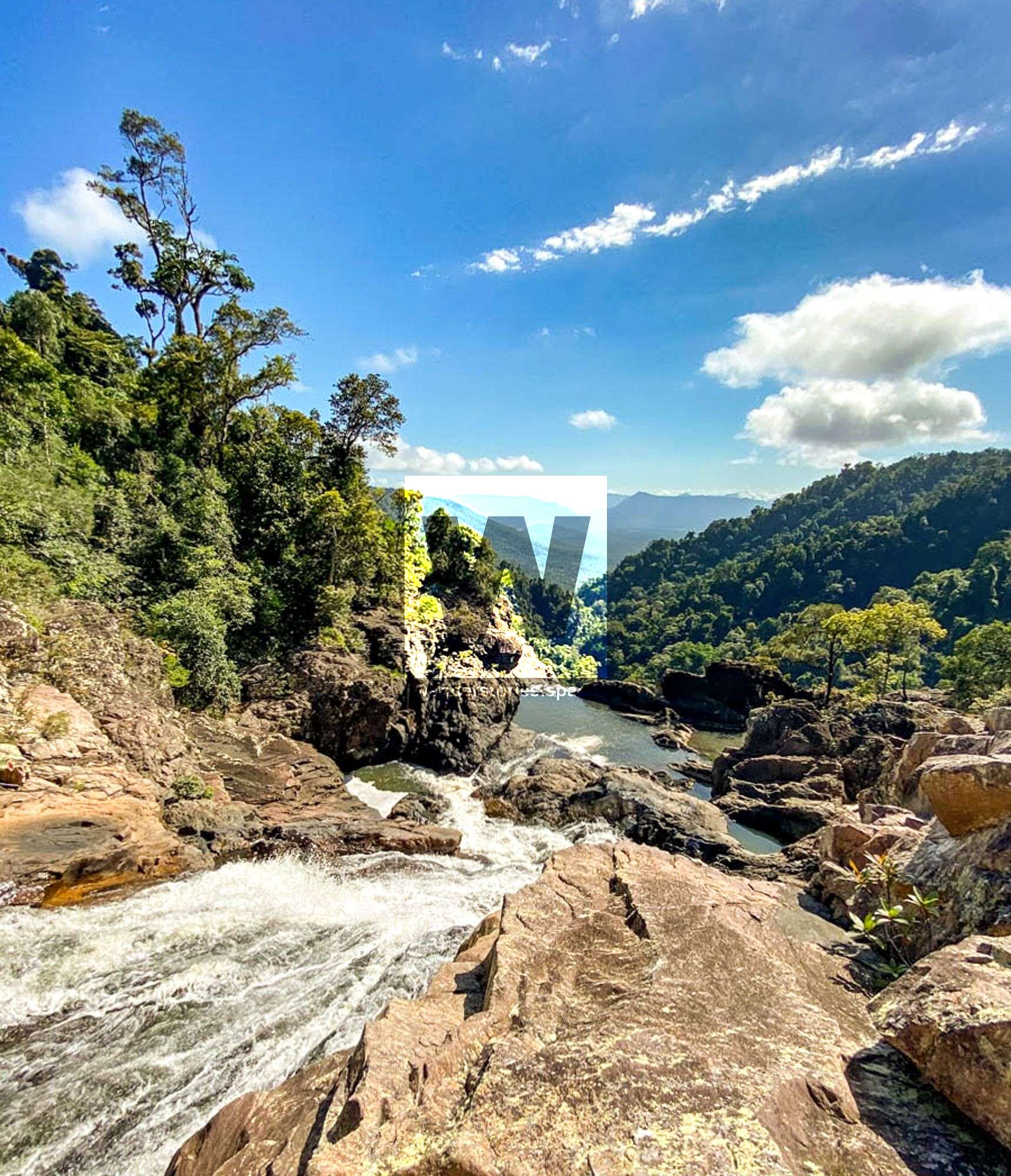
There is currently no track to the top of the falls. So from the bridge, you have several options: Walk through the rainforest to the top, or swim and wade down the creek. However, swimming down the creek, which is deep in places, may be the more pleasant option in summer.
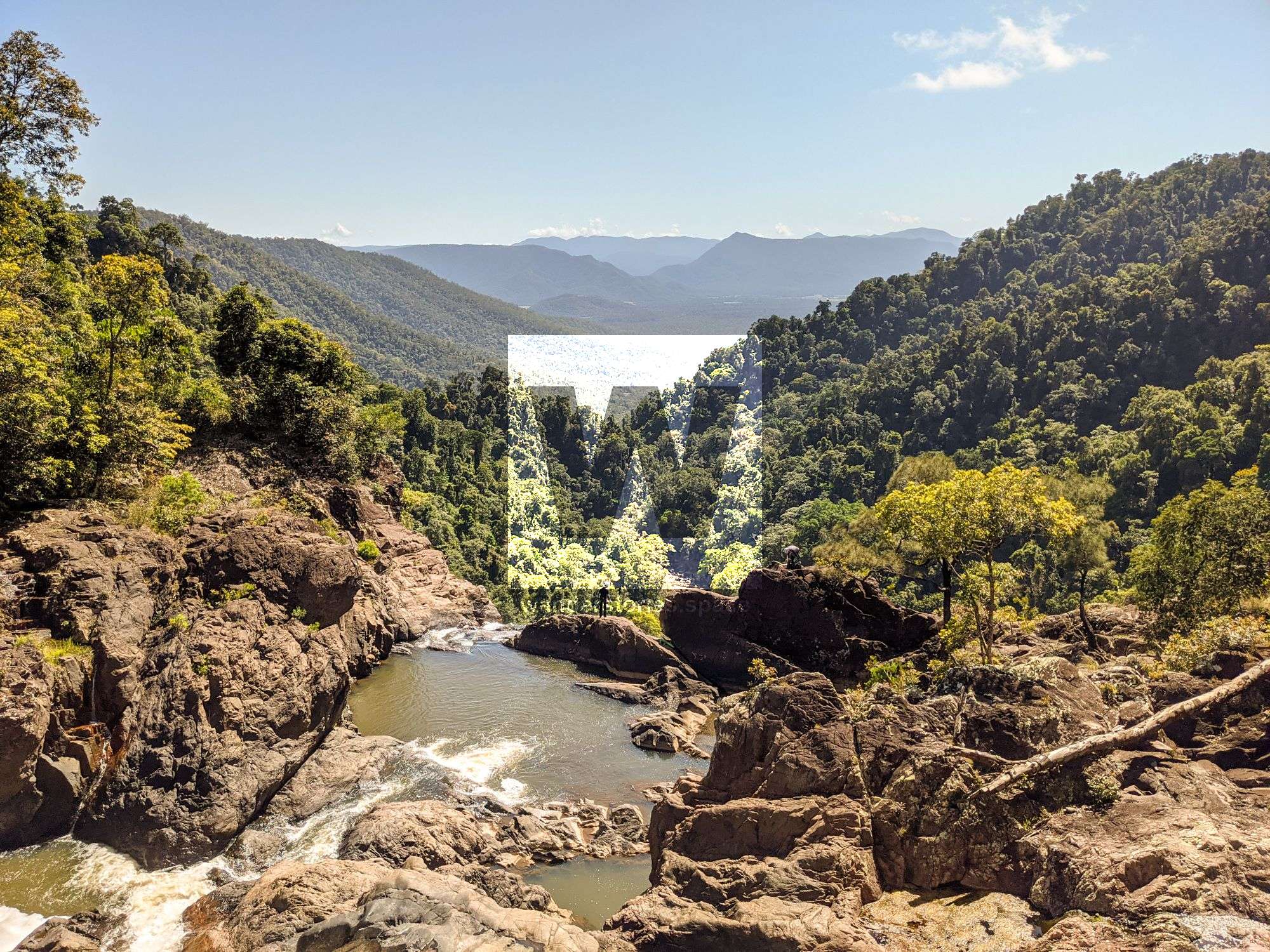
Soon, you will arrive at the top of Garrawalt Falls.
It's possible to hike around to the base of the falls for those up for an extra challenge. The route is shown in the map below.
Interactive Map
This article, and all other articles, are for entertainment purposes only and are not to be used as a guide. Please see our Disclaimer for more information.
