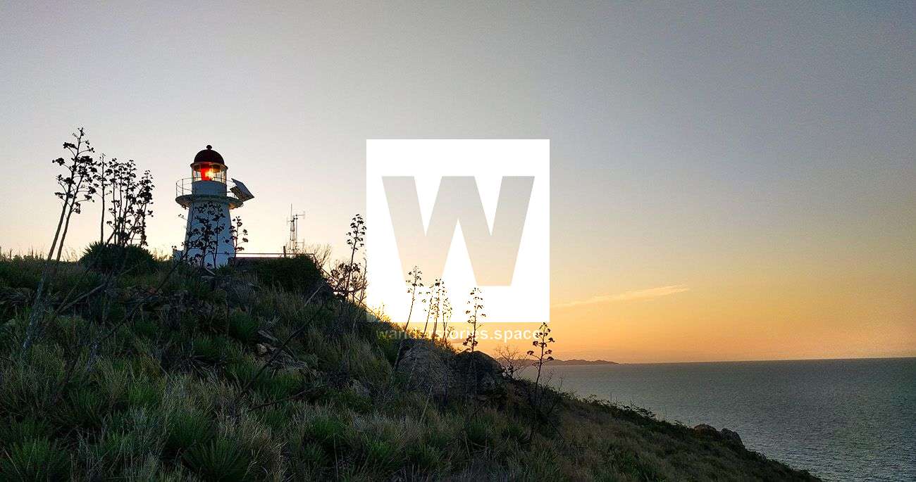
The hike out to Cape Cleveland Lighthouse
Dreaming of freshly shucked oysters straight off the rocks, swimming with sea turtles, sipping fine wine, and enjoying a picnic overlooking the turquoise ocean and bay at sunset? Indeed, there's something for everyone here at Cape Cleveland!


Location - Bowling Green Bay National Park, North Queensland, Australia
Distance - Approximately 13 km one way, depending on where you start
Time - 6-8 hours one way
Grade - 5
Oysters, Turtles, and Wine
Dreaming of freshly shucked oysters straight off the rocks, swimming with sea turtles, sipping fine wine, and enjoying a picnic overlooking the turquoise ocean and bay at sunset? Have you thought about camping next to a lighthouse under the stars to awake the next morning to a spectacular sunrise over the ocean? Here, you can also find good rock climbing on granite cliffs. Indeed, there's something for everyone here at Cape Cleveland!
History
Cape Cleveland Lighthouse is an active, heritage-listed lighthouse located on Cape Cleveland at the edge of Bowling Green Bay National Park. It was the first lighthouse to be built in Townsville back in 1879 and marks the most northern point of the Cape and the entrance to Cleveland Bay. It was built in response to Townsville's development as a major port. Captain James Cook originally named the Cape "Iron Head" in 1770, but as soon as he set sail, it was revised to "Cape Cleveland", possibly to honour Mr John Cleveland, a former Secretary to the British Admiralty. It was listed on the Queensland Heritage Register on 9/11/1998.
During World War II the Lighthouse served as an observation post for nearby Townsville, which was a large allied base. An observation platform, a radar hut, and a powerhouse were constructed at the post during the war, though today only ruins remain. The lighthouse became automated in 1994 and is operated by the Australian Maritime Safety Authority (AMSA). Before automated, lighthouse keeps lived on-site in the buildings nearby.
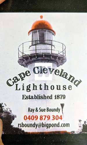
Ray Boundy, who currently has the lease on the Cape Cleveland Lighthouse, curated a museum on the property, which documents historical displays of the past and present residents. Take some time to enjoy and appreciate this if you're keen.
Getting there
There are several methods to see Cape Cleveland. You could go with your mates on a private vessel, book a commercial ferry, or you could also bushwalk to get there. However, prior permission is needed before arriving at the Cape.
To go to the lighthouse, which is on private land, you need to book a ferry with Ray Boundy. The barge costs $30, which includes your fee to camp as well. Note that this is the current price for the Townsville Bushwalking Club. You'll just need to ensure you drop off your gear that is meant for the barge before you start your hike. The bonus of this option is that, while hiking in, you only need to carry a light day pack whilst enjoying a nice coastal walk, as your overnight gear will travel on the barge.
For the day hike, you'll need to carry food and water for the day, as there is no water resupply during the hike in or out. There are rainwater tanks at the Cape campsite; water sterilisation tablets are highly recommended. Other basic facilities at the Cape campsite include a toilet, shower, and BBQ.
Bushwalking Routes
Note: These routes are near the Australian Institute of Marine Sciences (AIMS) and some parts of private property. Please DO NOT contact AIMS for access. AIMS does not permit the general public to come onto AIMS property for non-AIMS business. We do not advocate trespassing on private property, AIMS property, or any other restricted lands for any Wanderstories adventure.
Options
There are two main bushwalking routes:
- You can either hike along the ocean coast from Sunset Beach near Cape Woora,
- hike up to Mount Cleveland and down the main ridgeline,
- or you can hike along Cleveland Bay by starting near Cocoa Creek.
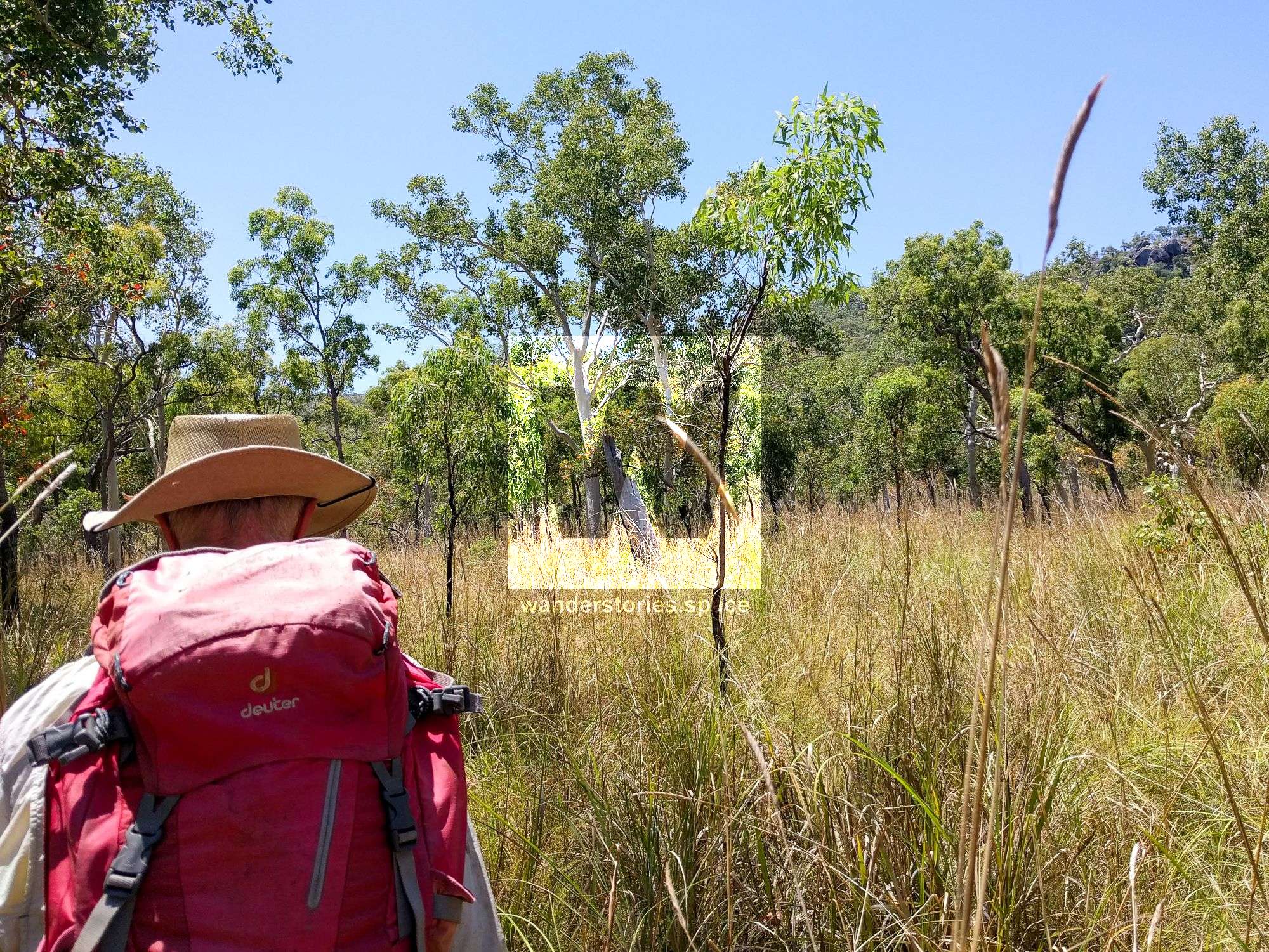
However, all routes involve bush-bashing all day and traverse cross-country through rugged terrain. Do consider the tides if opting for the Cleveland Bay route.
Sunset Beach (A.K.A. Little Beach & Brays Beach) and Paradise Beach Route
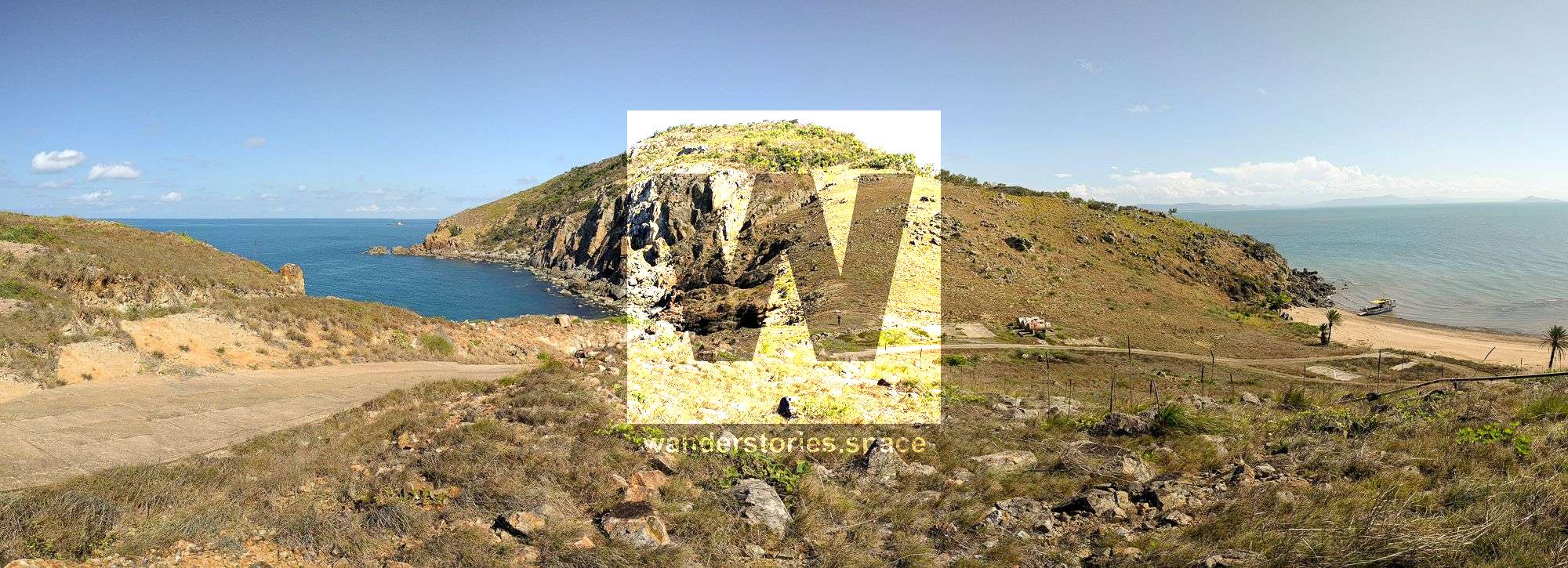
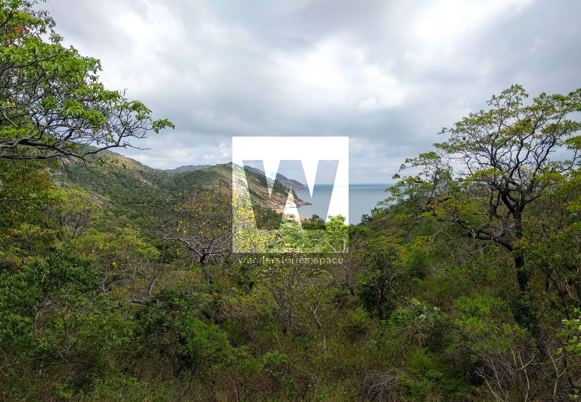
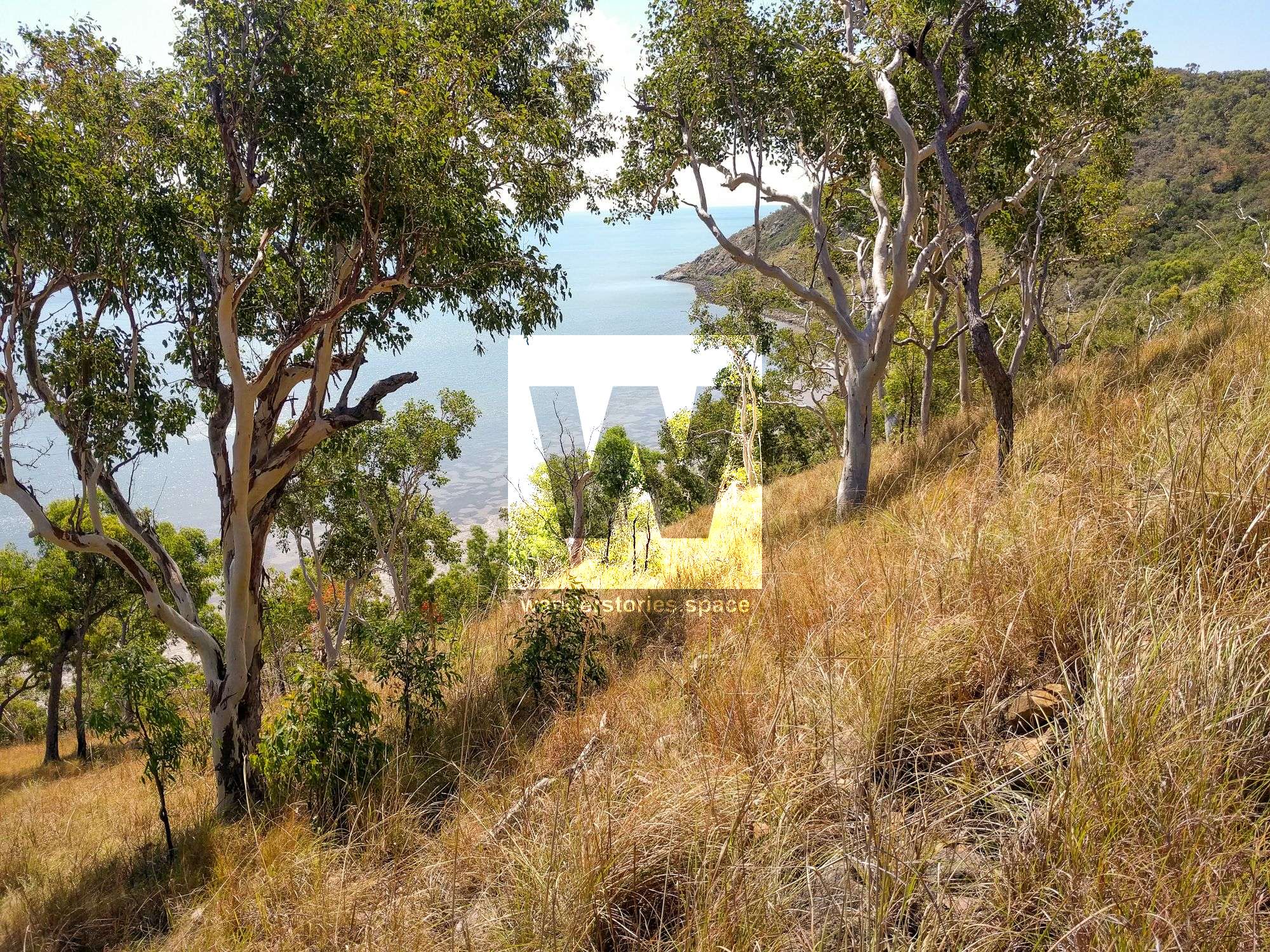
This journey goes through beautiful scenery, along the beach, and over the mountain ridge. You might be reminded of a similar scene from Lord of the Rings, with rolling, grassy hills, and protruding stone features.
Park your car off to the side before you reach AIMS. Walk along Cape Cleveland Road until you are near the AIMS property boundary. From here, bushwalk around the left side of AIMS, following the track, which is best done after a burnoff. Once you get to the ridgeline between the two bays, take a left into the next bay, which will be Sunset Beach (also known as Little Beach/Brays Beach).
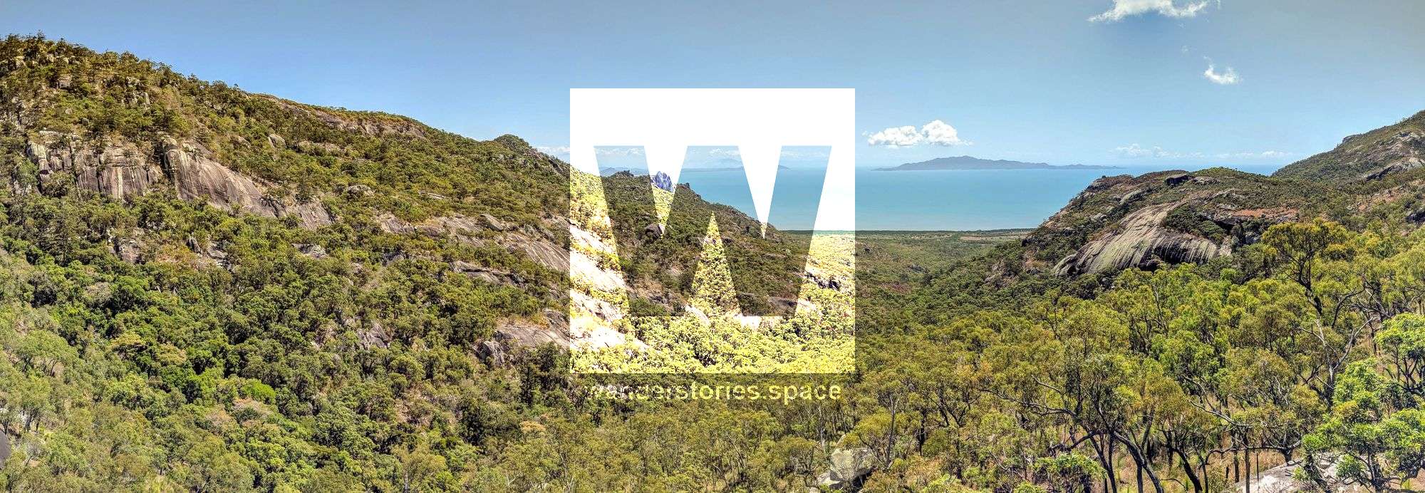
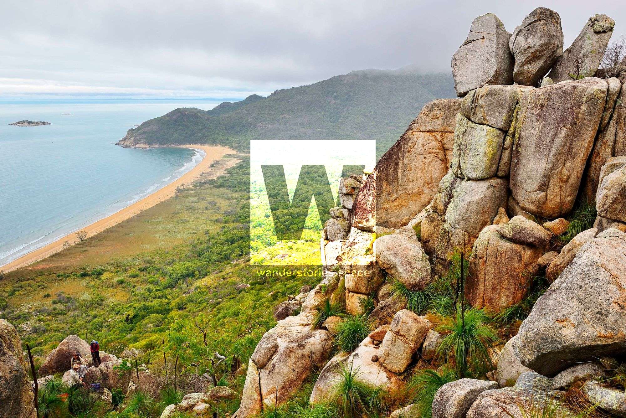
You'll now follow the trees tagged with tape up a creek and over to Paradise Bay. Now, you have two options; either climb up to the ridgeline, and follow that out to the Cape via Castle Rock, or take the inland route going over the saddle onto Long Beach.
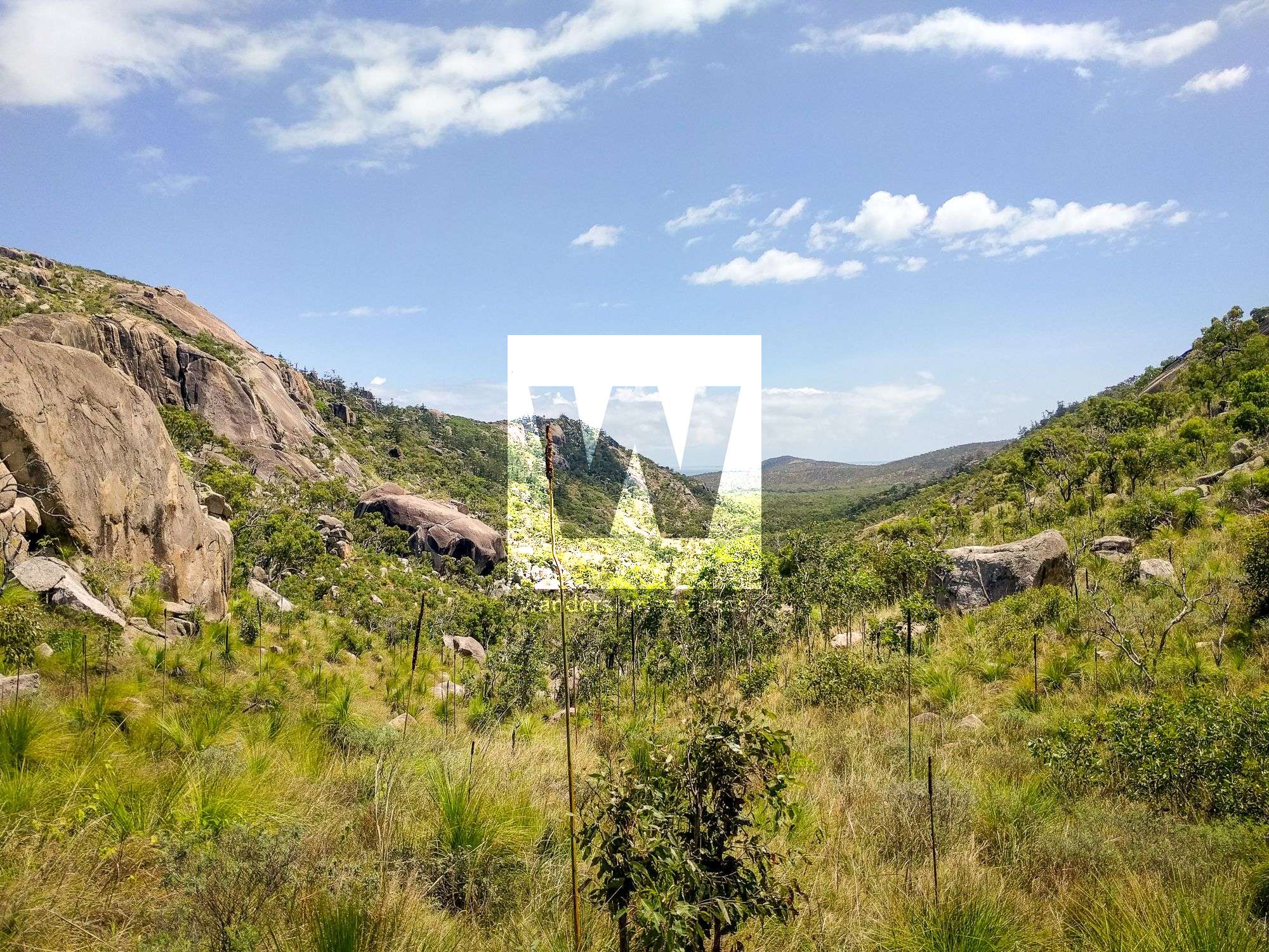
The views of the valley walls are spectacular from Castle Rock, and the ocean breeze on a hot day is welcomed.
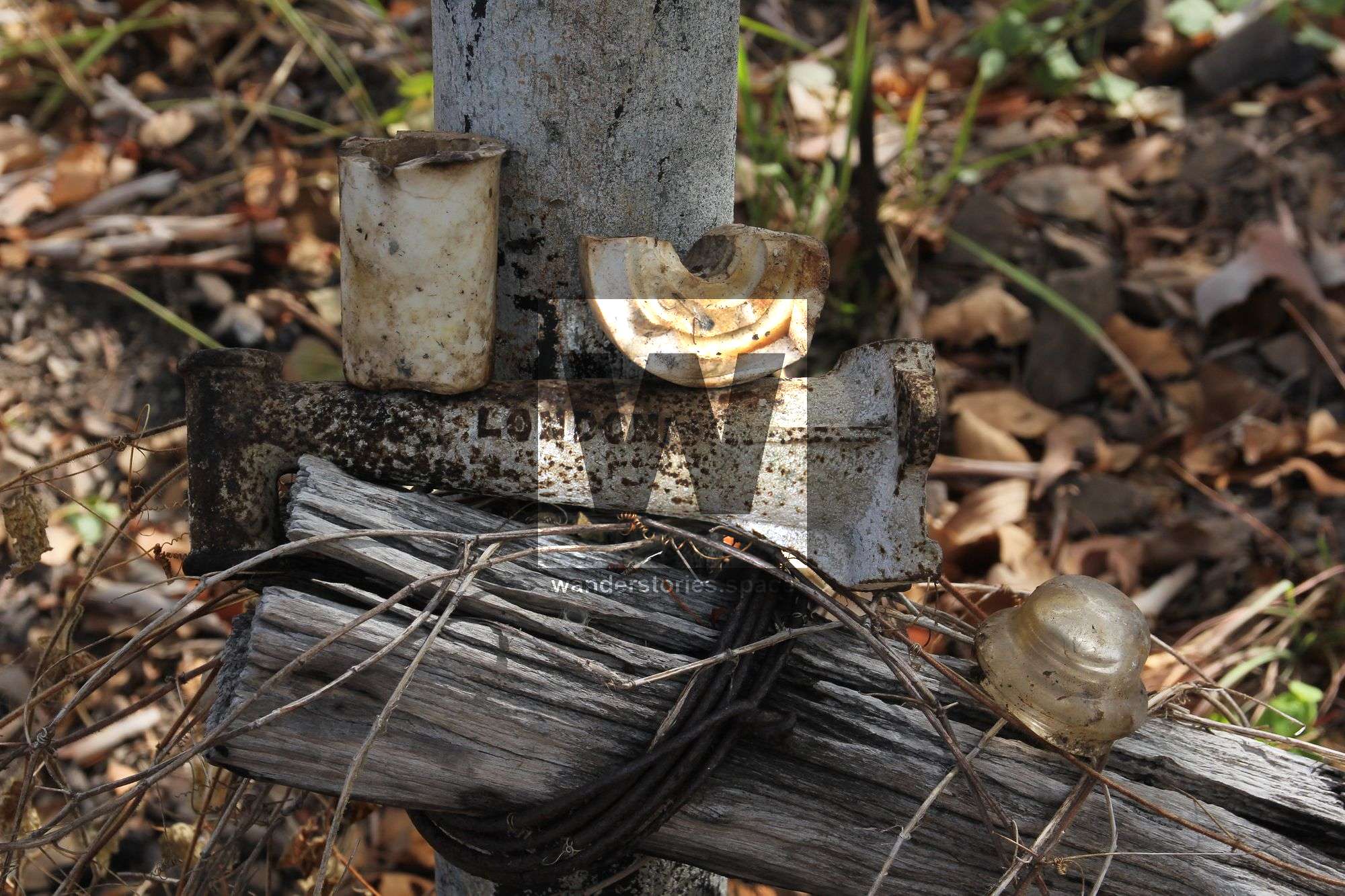
One of the old telephone line poles (left) photo credit Luen Warneke; Parts of the telegraph line, insulators and metal with 'London' text (right) photo credit John Elliott
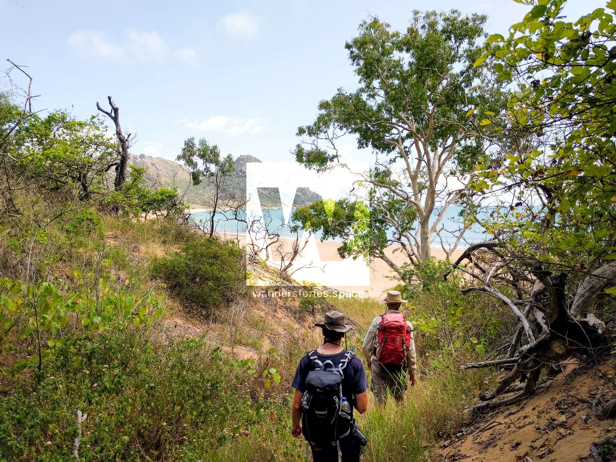
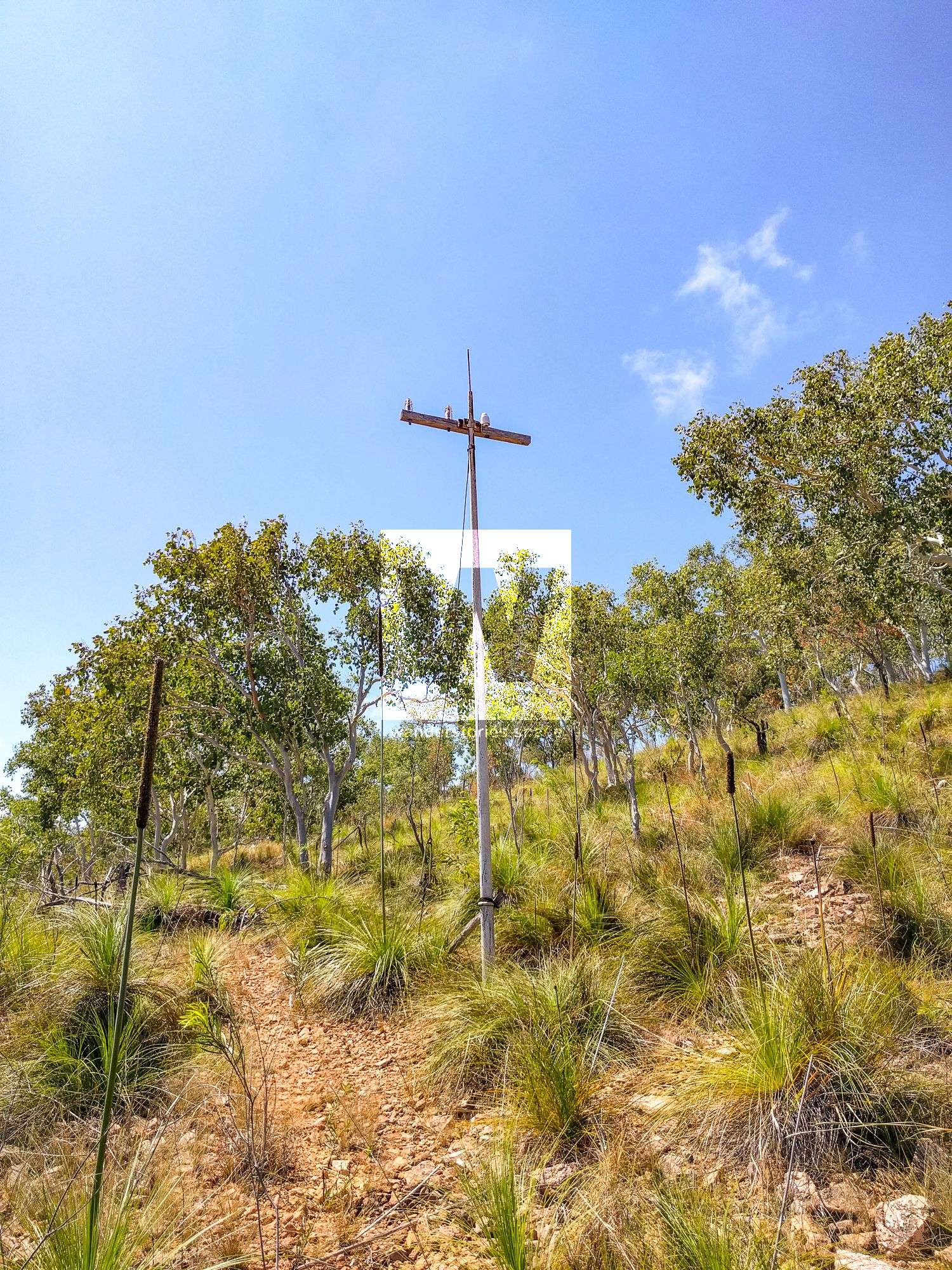
At the northern side of Long Beach is the remains of an old telephone line from 1924. Follow the telephone poles along past Red Rock Bay and along the old overgrown track out to the Lighthouse. You can still make out parts of the track that have since been concreted.
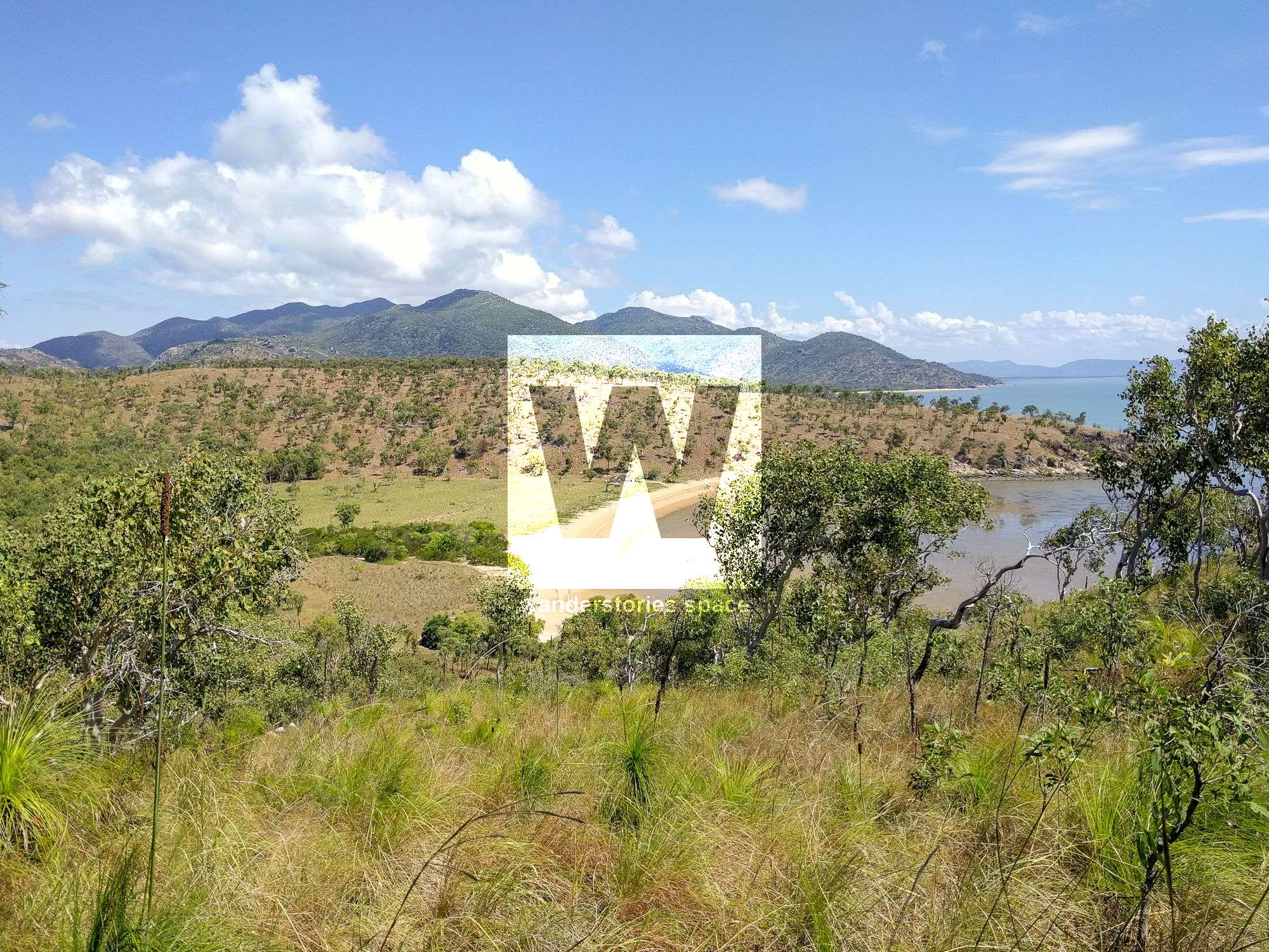
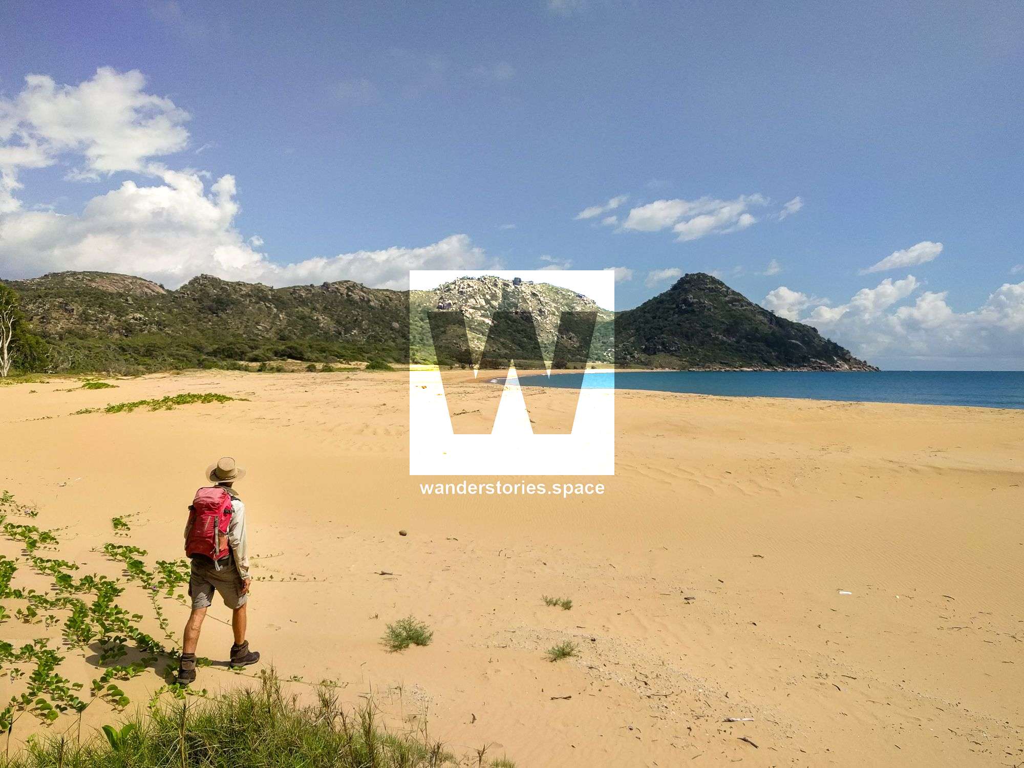
Long grass on Long Beach (left); Views down towards Red Rock Bay (middle); The hillside out to the top (right);
An alternate start: If you are keen and the weather is nice, another option is to walk from Cape Cleveland Road to Chunda Bay. Then, kayak along the coastline around to Cape Ferguson, Cape Woora, and then to Sunset Bay. Be mindful of the crocodiles.
Cocoa Creek (Cleveland Bay Route)
Either park your car in the spot before the mangroves, or take your vehicle out along the four-wheel drive track beside Launs Beach. Then, walk northeast around to White Rock Bay and then on to Long Beach. At the end of Long Beach is where the old telephone track starts. Follow the telephone line to the Cape Cleveland Lighthouse.
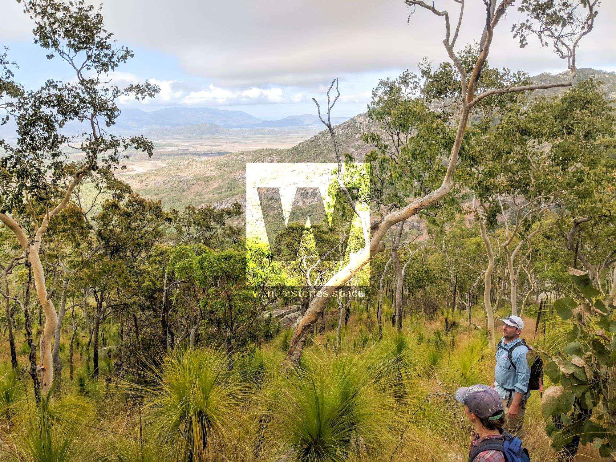
Via the ridgeline / Mount Cleveland
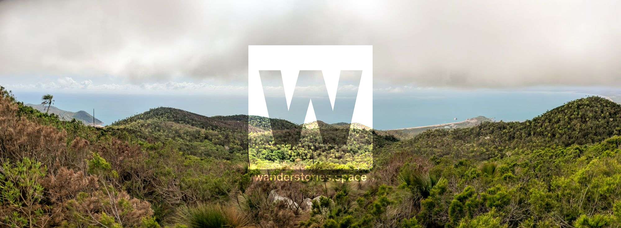
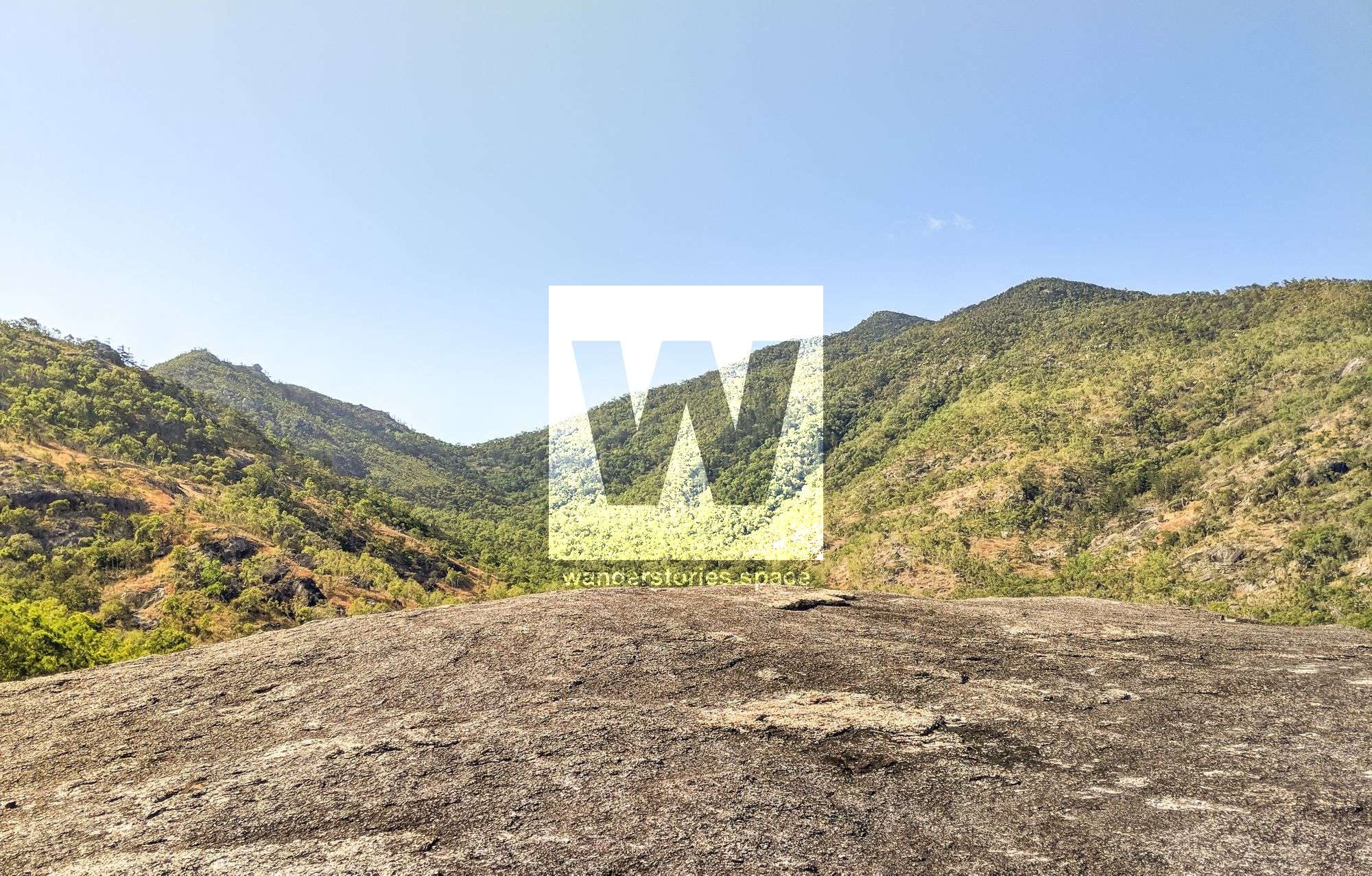
There are numerous options to traverse the mountain range, but in the interactive map, you'll find one of the suggested routes. The upside of this option is that you'll always have a spectacular view as you traverse the ridge. However, this may be the most difficult route.
Park your car off to the side before you reach AIMS. Start walking towards the main ridgeline off Mount Cleveland. Follow the ridgeline until you reach the summit. Descend down the ridgeline on the northern side to the saddle between Long Beach and Paradise Beach. From here, join one of the suggested routes.
Interactive Map
Here is the interactive map of the suggested routes. These routes are roughly outlined and should not be followed or used for navigation. DO NOT TRESPASS.
What to take
- 3-4 litres of water, consider more than usual, as there is very little shade on this hike
- Food and snacks for the day
- First Aid Kit and PLB
- Maps and compass and/or GPS for navigation
- Camera
Overnight gear
This is all of the gear that will go on the barge, but note that you need to be self-sufficient. Include your personal tent and sleeping gear, food, drinks, swim/snorkel gear, spare clothes. Some other items to consider may include bulky items you would not hike with but could be useful like a tripod and an insulated cooler/esky for drinks.
What to do
The Townsville Bushwalking Club does this trip every year. We highly recommended going with them, as they have insider knowledge of the area and decades of experience and history bushwalking around Townsville.
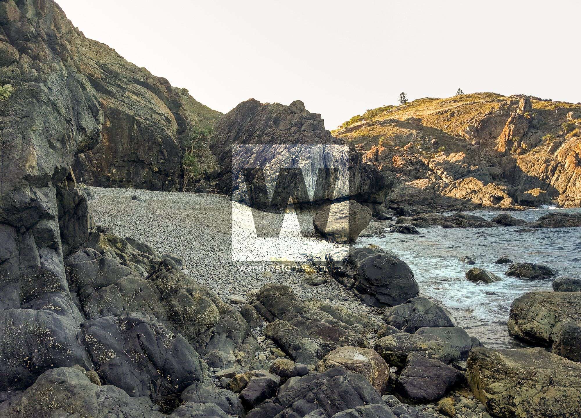
If you were to go out on your own, do so on a long weekend so you can have a day of local exploring, visit the coastal cliffs for some rock climbing, swim at Pebble Beach, and shuck oysters for dinner on the Cape Cleveland Beach. The oysters on the rocks are natural; you just need to collect them, so take a shucking knife. To our knowledge, no permits are required in this particular area.
You can also do a beach cleanup to remove the washed up plastics and debris. Ray Boundy will take the collected rubbish back for you. Have an afternoon nap or swim while you're there. Take some time to walk around the Cape, too. The old rail line at the Cape was once used to unload fuel from the ships for the light at the lighthouse. And, apparently there are even old WWII gun emplacements out on the Eastern cliffs. You will notice that the rock formations are totally different from those on Magnetic Island.
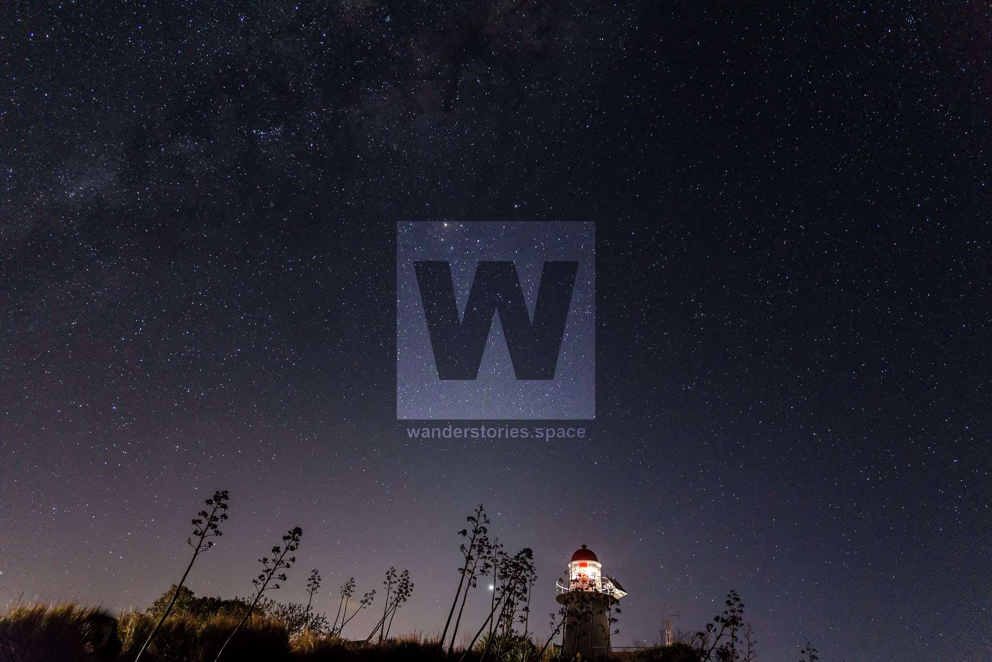
Do be sure to bring your camera so you can take photos of Townsville's waterfront, sunset, and night sky.
Disclaimer
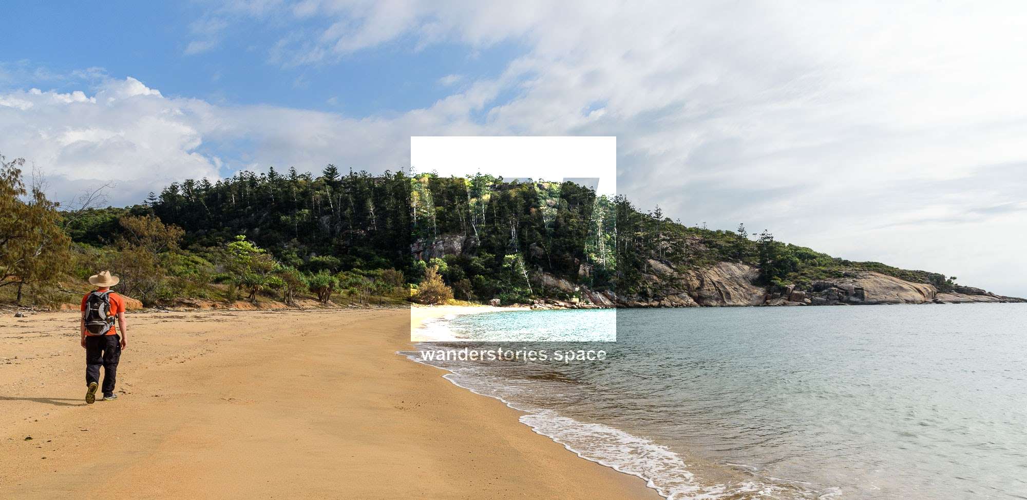
The excellent walk out to Sunset Beach and Paradise Beach is best done over a long weekend. The route in is good shape, but it is overgrown with tall guinea-grass. The track was marked by the Townsville Bushwalking Club in 2014 and again in 2019 and is reasonably clear in the forested parts, but in the flat country just behind the dunes, it is overgrown and hard to follow. Despite that, it is roughly 1-2 hours from the saddle near Cape Woora to Paradise Beach.
For the majority of this trip, you'll be bushwalking cross-country with no formed tracks until the last hour near the Cape where you'll be following the old telephone line. There are some low hills to traverse, open woodlands, long grass, rocky uneven ground, and some sandy beaches. There is no shade along the routes, and so you will need a good hat and sun protection. At the Cape, however, you will be rewarded with an icy-cold, refreshing ale, if you remembered to put it on the barge.
Save this walk for the cooler months; do not attempt this walk in summer.
Do not swim in the ocean during stinger season, which generally runs from November through to May. Take plenty of drinking water. And again, we highly recommend going with the Townsville Bushwalking Club. You'll have a great time!
This article, and all other articles, are for entertainment purposes only and are not to be used as a guide. Please see our Disclaimer for more information.