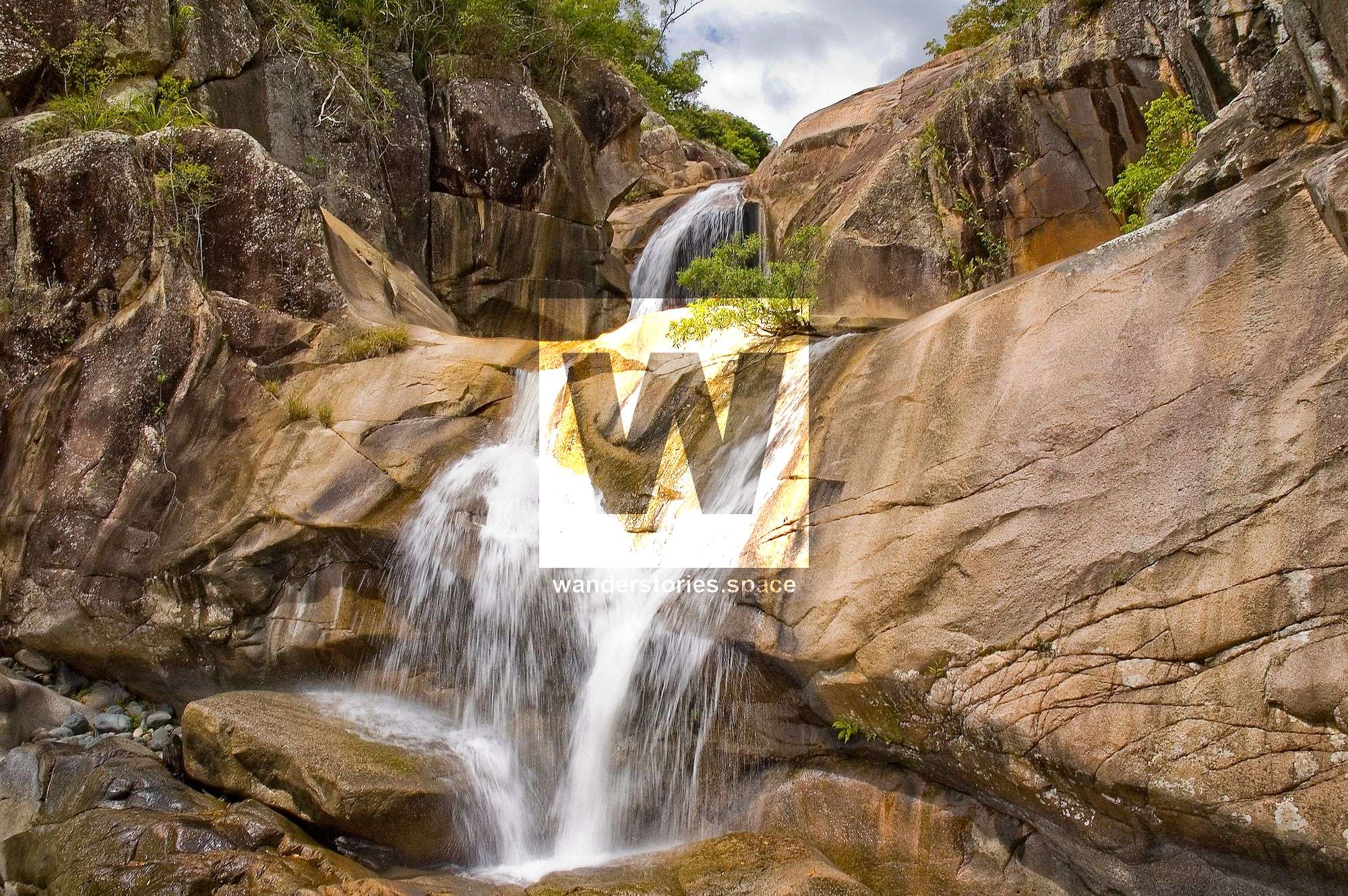
Hiking to the top of Jourama Falls
Hiking to the top of Jourama Falls only takes about an hour for the fit bushwalker and about 45 minutes back down. It's a short but steep hike and is best walked at the start of winter just before the wet season; while it's nice and cool but not wet and slippery.

Location - Paluma Range National Park, North Queensland, Australia
Distance - approximately 4.5 km return
Time - 2 hours
Grade - 4
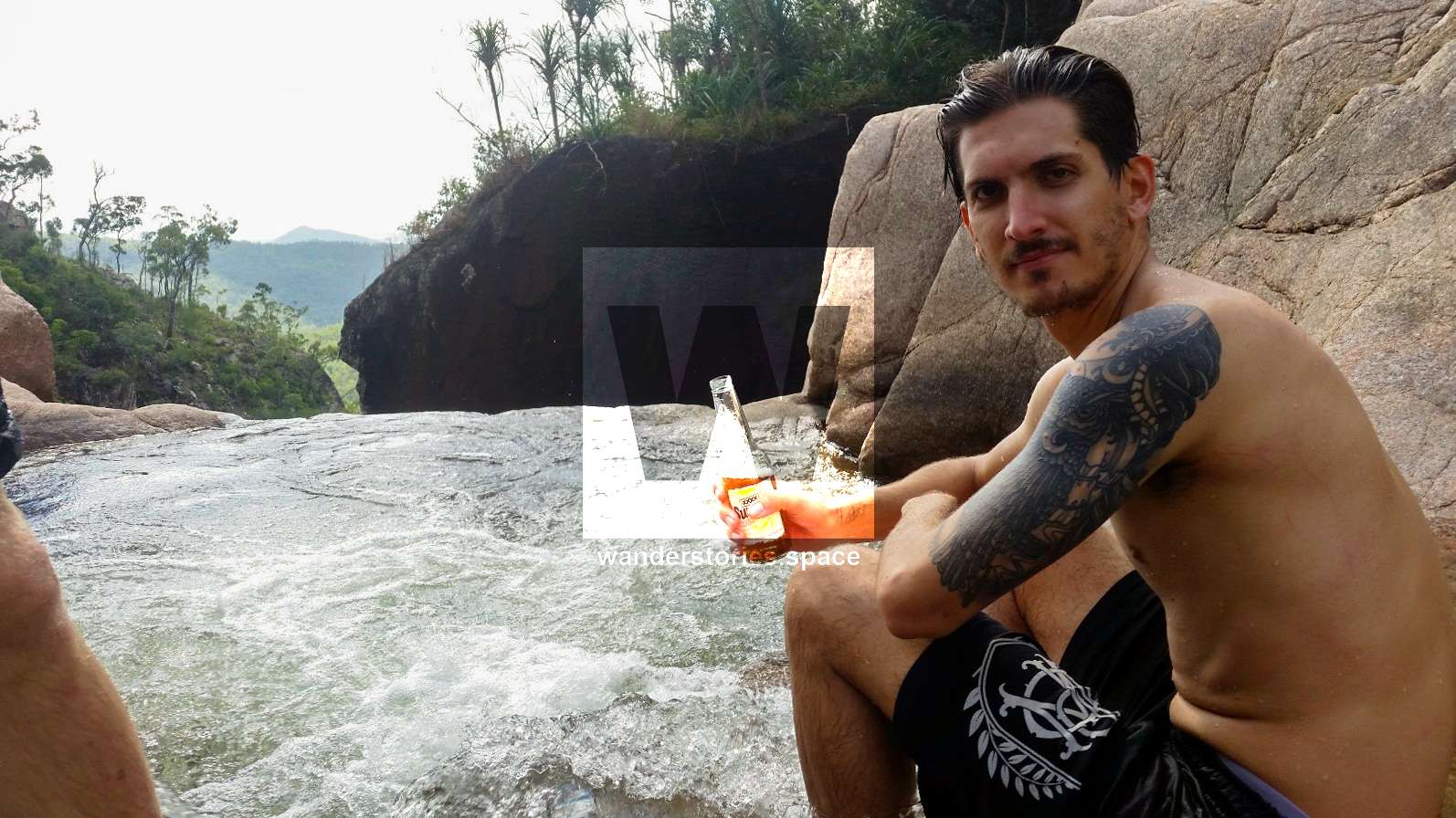
Over the past few years, I've been a tour guide for friends, backpackers, and international students to the top of these falls. I've hike this path over twenty times, some solo but most of the time with company. It's a magical place to camp, looking out over the valley and listening to the waterfalls while falling asleep under the stars.
Hiking to the top of Jourama Falls only takes about an hour and a half for the fit bushwalker and about 45 minutes back down. It's a short but very steep hike. It's best walked at the start of winter just before the wet season; while it's nice and cool but not wet and slippery.
How to get there
Drive to the end of the Jourama Falls road and park here. Walk along the track for approximately 15 minutes to the end where the Jourama Falls lookout is. From here, you'll have to bush bash your own way to the top. Look to your right, you will need to climb up this steep slope.
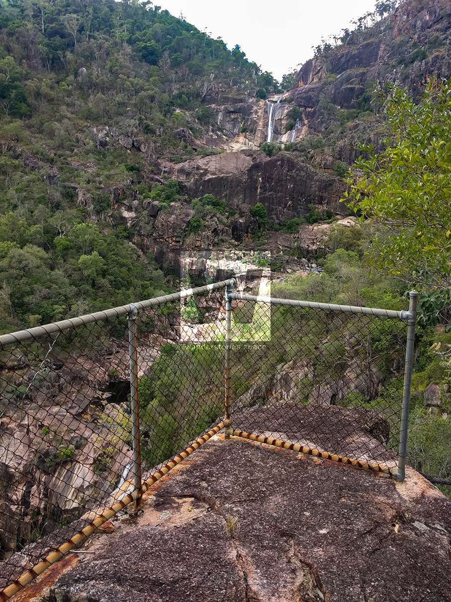
A bit further up from this lookout is the old lookout. You can still make out the track caved into the side of the hill winding its way up. You'll know once you reach the old lookout, as there is still the old rusty fence.
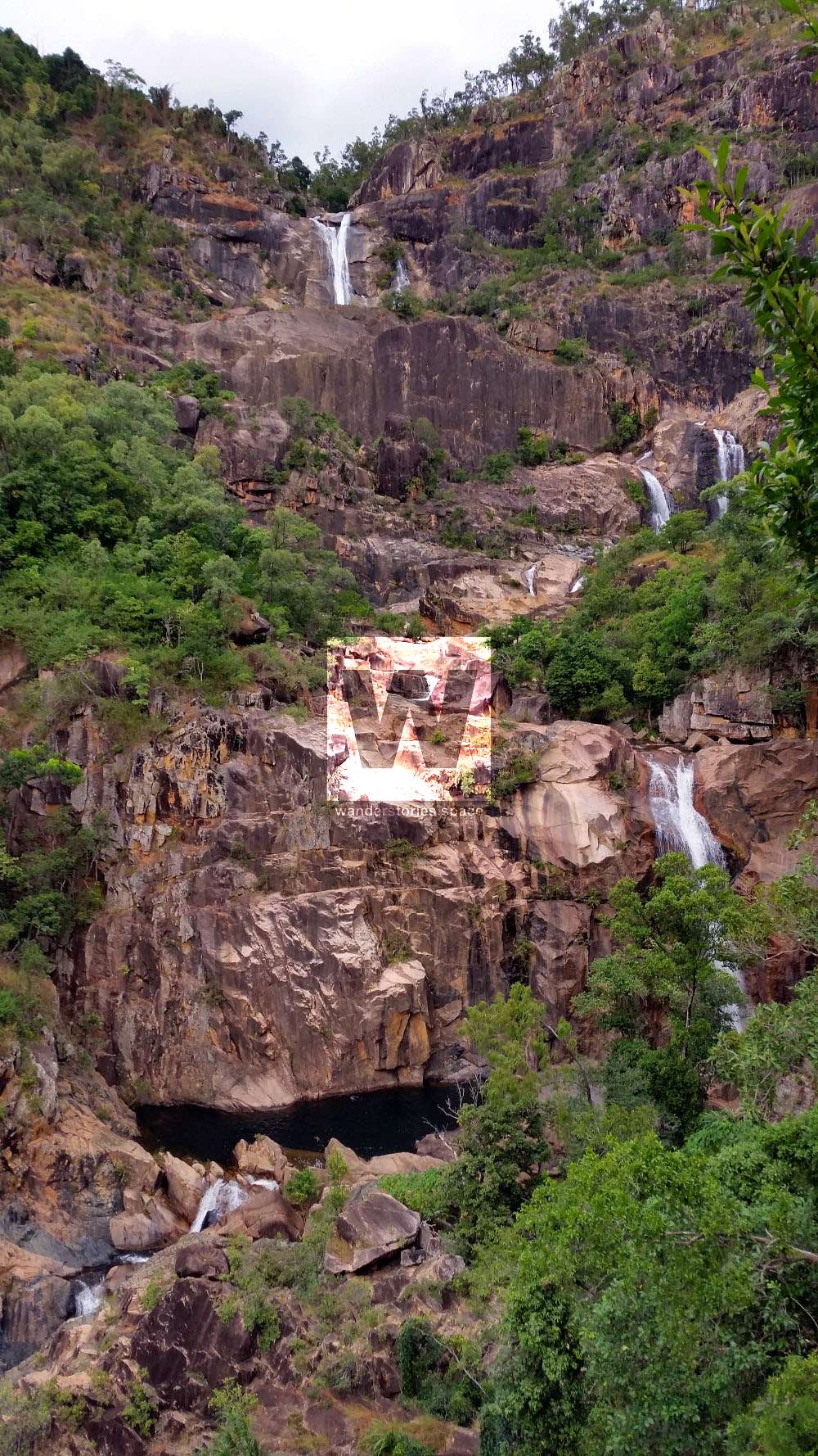
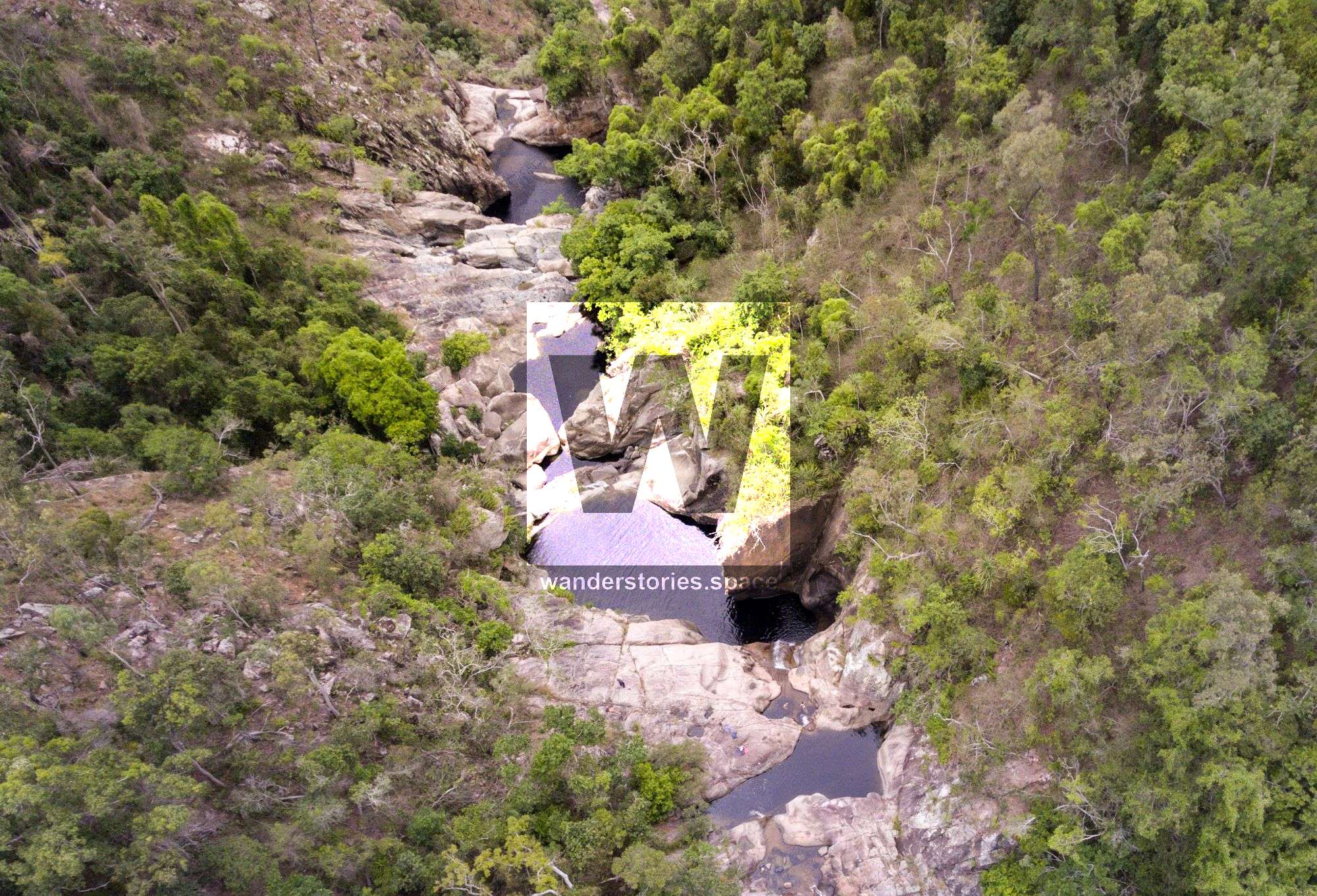
From the main, still maintained lookout, head directly up to the right climbing about 15m to the rock structure. Following the saddle across and up slightly diagonally to the left about 300 metres and you'll be on top of the cliff face (picture below). I recommend having a rest break here for you and your fellow comrades to take advantage of any cool breeze and the amazing view!
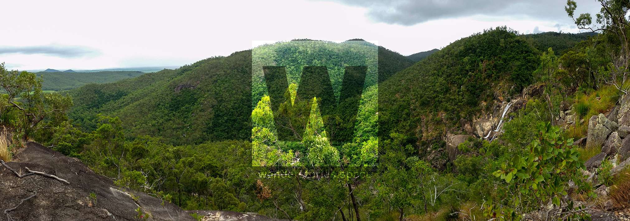
Ascend another 600 meters slightly diagonally to the left again. Follow the contour of the hills and across a valley. Then descend safely down into Waterview Creek.

Interactive Map
Here's an interactive map of this journey.
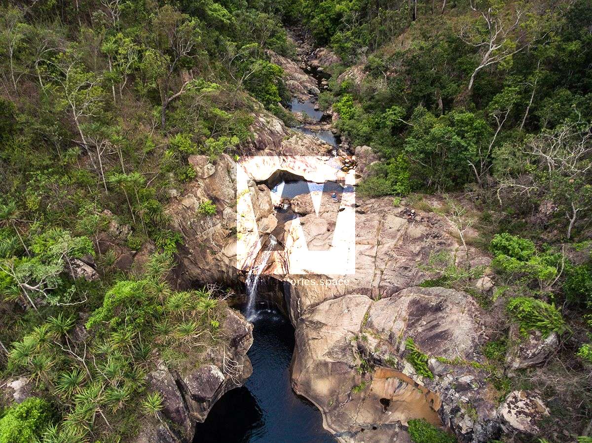
If you're keen, you can even make you way up the creek to the Blackhole or abseil down Jourama Falls.
What I would recommend for a day trip to the top of Jourama Falls
- Pack about 2 litres of water per person. You can refill when you get the waterview creek as long as you can treat your water (boil, chemical, UV sterilise).
- An PLB (Personal Locator Beacon) is recommend as there are many snakes in Paluma Range National Park.
- First aid kit
- Some food and light snacks
- A topographical map and a compass is nice to have as well.
You can get Telstra phone reception for most of the hike and at the top. It's also a good idea if you're not taking a physical map to load the map of the hike to the top onto your phone.
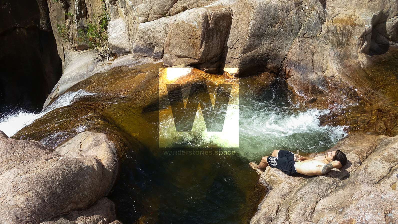
When you're at the top, make sure to enjoy yourself and to be safe. Please do not leave any rubbish behind as that's a major turnoff to other adventures. Thanks
We have several articles on Jourama Falls and The Black Hole and how to get there from several different routes.
This article, and all other articles, are for entertainment purposes only and are not to be used as a guide. Please see our Disclaimer for more information.