Joy's Cliff & Slippery Rocks Creek
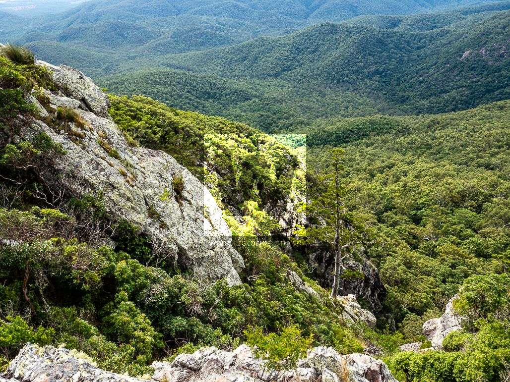
Joy's Cliff is be seen from many vantage points in the national park. Atop of the steep cliffs are sweeping views across the landscape, similar views to Cockatoo Rock. This is a long circuit walk, but a great one, via Slippery Rocks Creek.

Location - Bowling Green Bay National Park, North Queensland, Australia
Distance - Approximately 15 km depending on route
Time - Approximately 7-12 hours depending on route
Difficulty - 5, hard, off-track hike
Ascent and descent - Approximately 800 m
Max elevation - 675 m
Joy's Cliff is 650 metres in elevation and provides sweeping views across the landscape, similar area to Cockatoo Rock. This is a long circuit walk, but a great one. The walk is suitable for a small group of experienced bushwalkers only, recommended maximum of six. An early start is recommended.
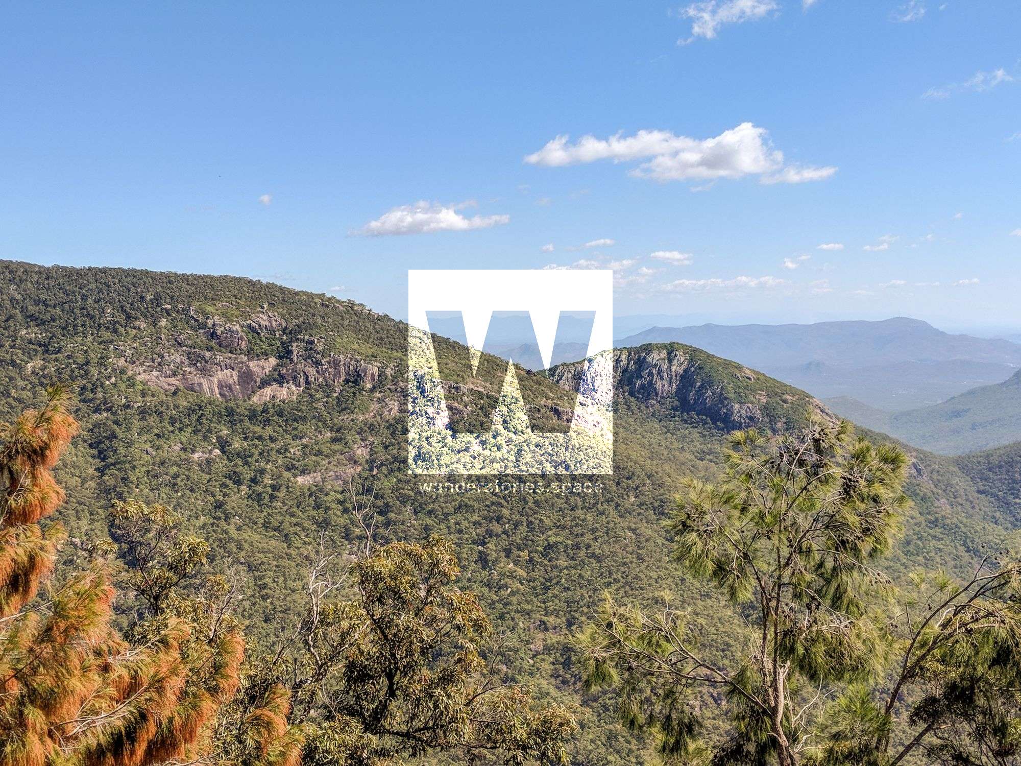
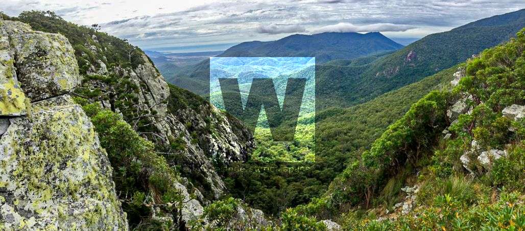
Joy's Cliff is be seen from many vantage points on the northeast side of the Mount Elliot section of the national park.
View to Joy's Cliff - Photo credit: Luen Warneke
The route
Park at the end of Mt Panorama Drive, and start hiking along a dirt road track. This is private property and permission needs to be granted. You can bypass this by hiking via Slippery Rocks Creek from Alligator Creek Road to the end of the house line. Alternative routes are via Antill Plains Creek tributary or Stonehouse Creek.
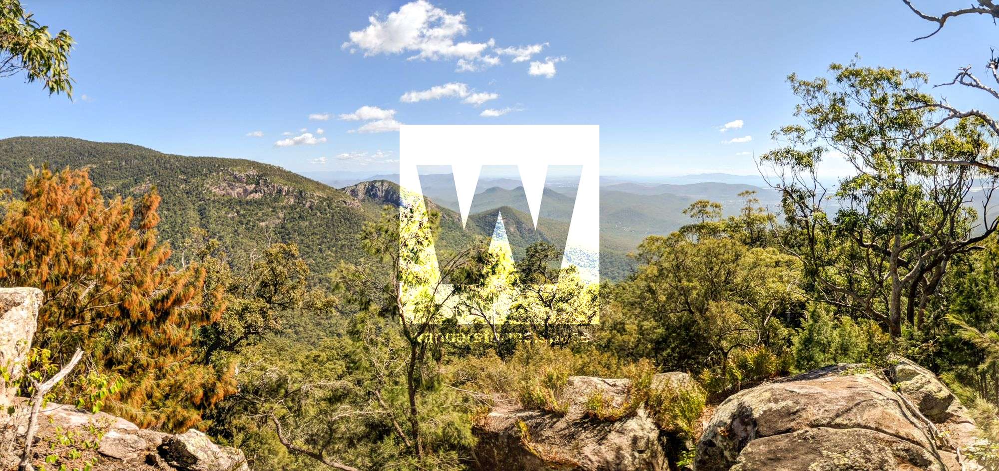
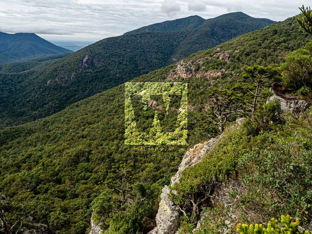
Antill Plains Creek tributary - Photo credit: Luen Warneke
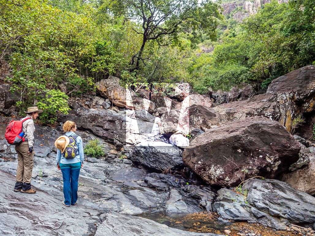
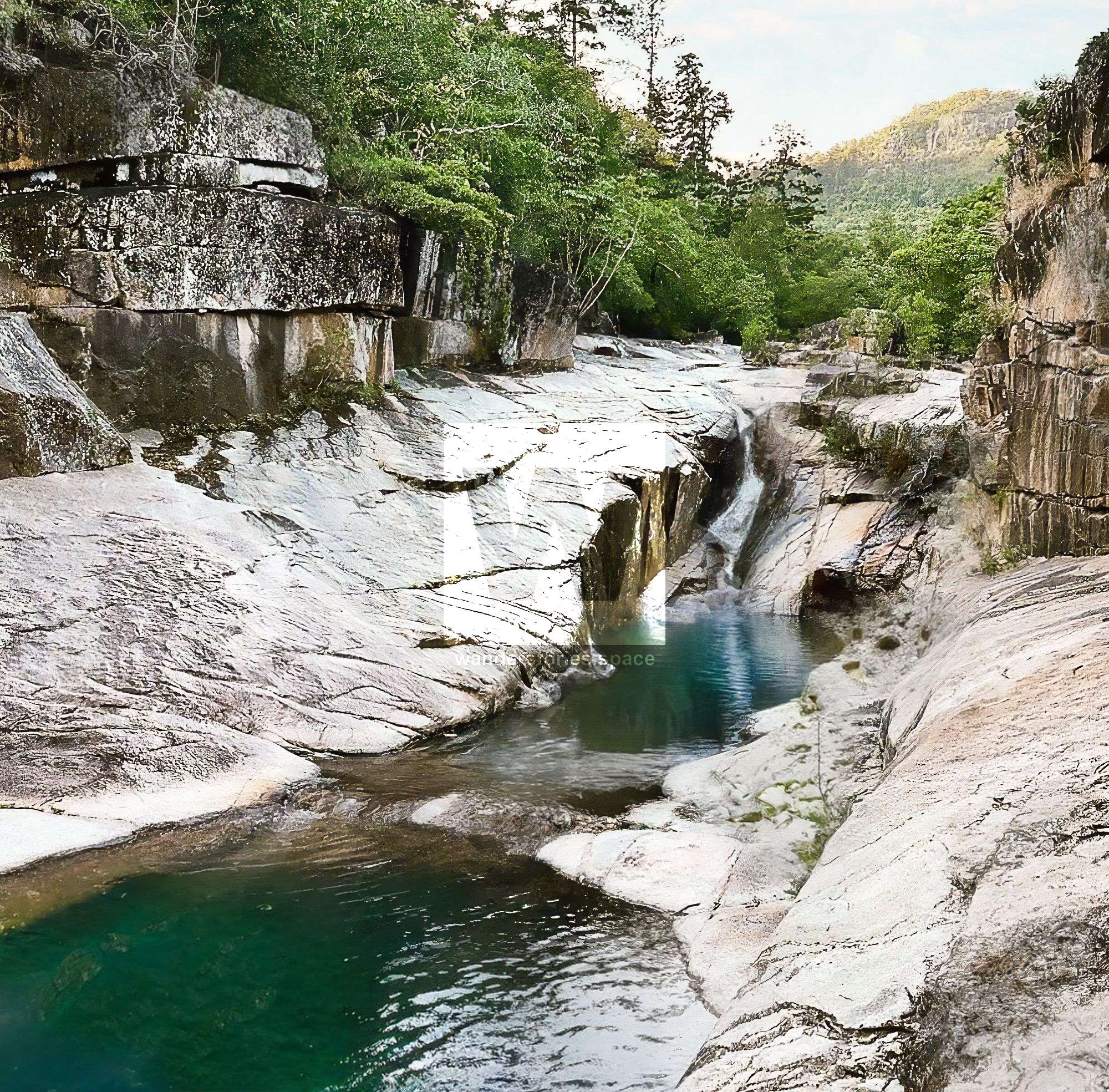
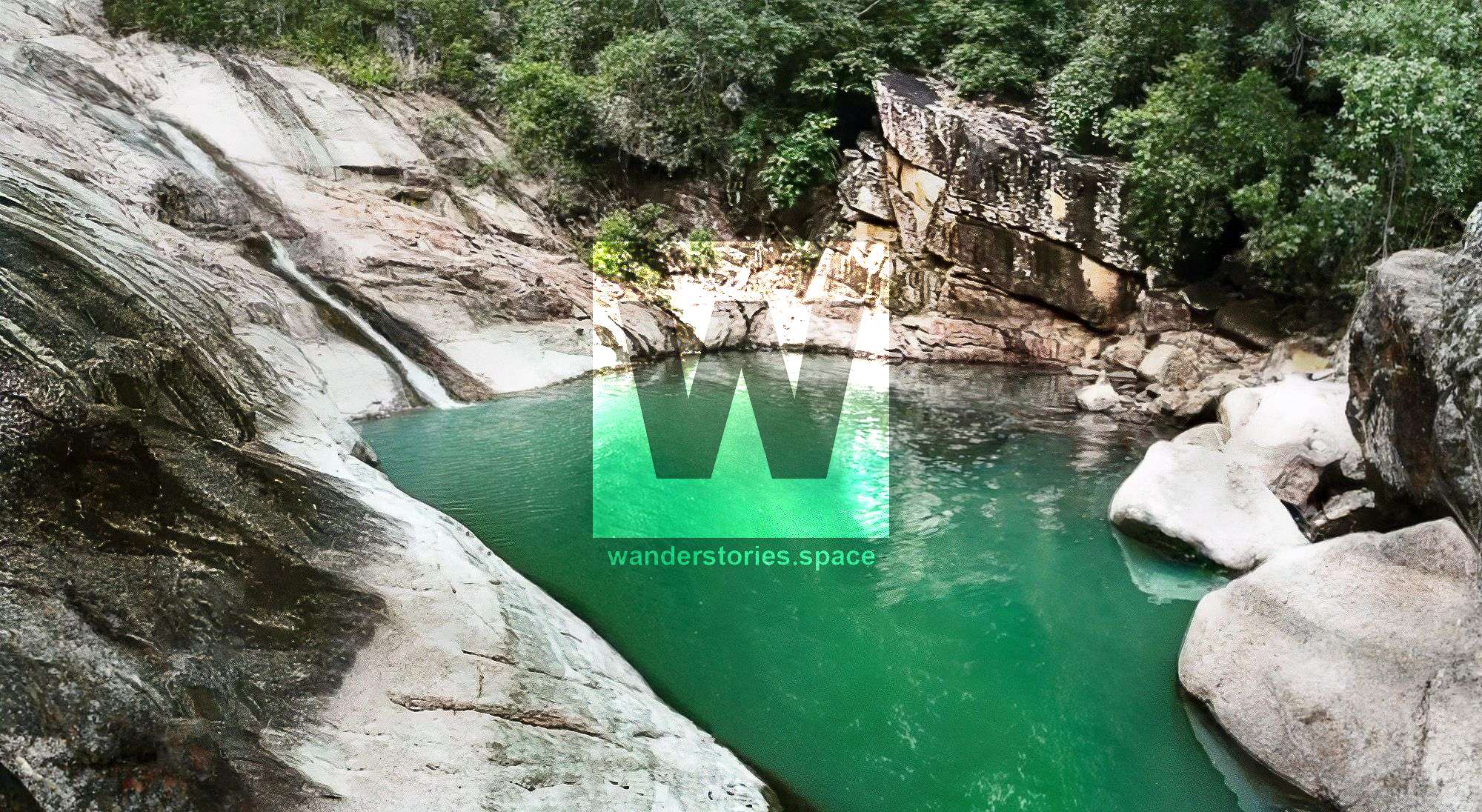
Enter Slippery Rocks Creek, rock hopping along the creek. As the creek climbs, rocks become larger, and the creek earns its name well- slippery rocks abound. After an hour of rock hopping, the creek becomes rougher and slipperier. a ridgeline will tempt you to exit the creek to the east but this area has the well-deserved name of Lantana Hill. The creeks turns into a small gorge with high sheer cliffs, an awesome sight. Once near Joy's Cliff, exit the creek and walk up the ridge to the top of the cliff line. Continue onto Hill 750 and what is called Yellow Cliff.
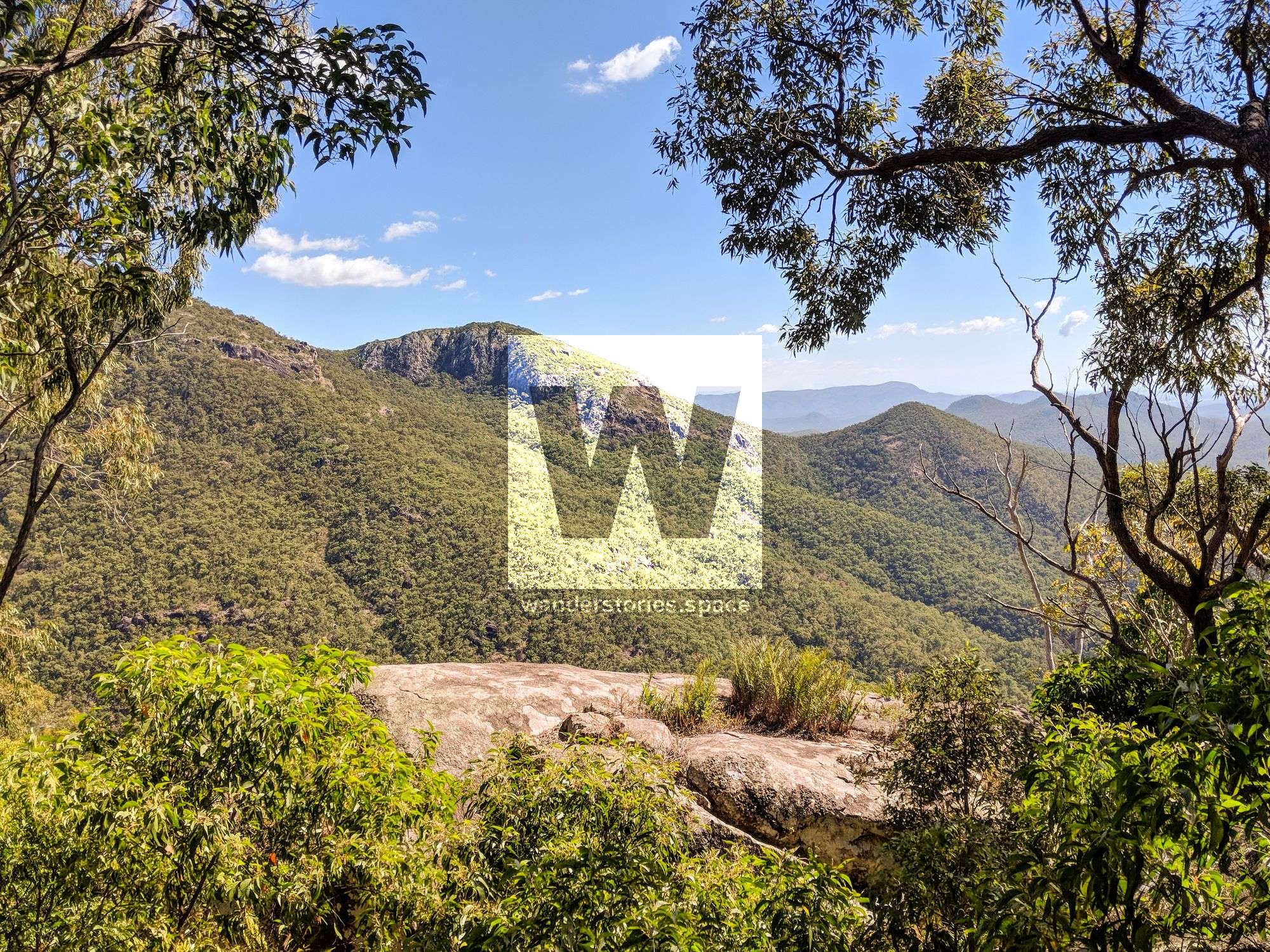
Joy's Cliff - Photo credit: Keith Dyson
Find a break in Yellow Cliff, and descend down the ridgeline into Cockatoo Creek, very steep and many loose rocks and granite slopes. Continue into Cockatoo Valley and join Cockatoo Creek about 1.2 km upstream of the track junction.
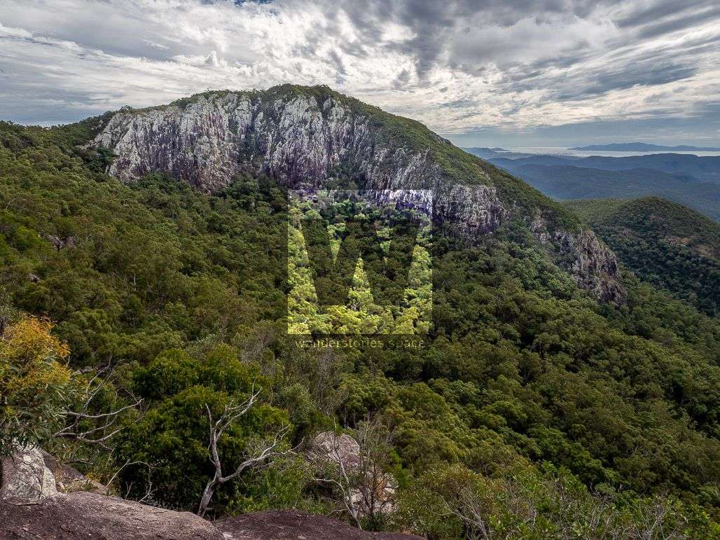
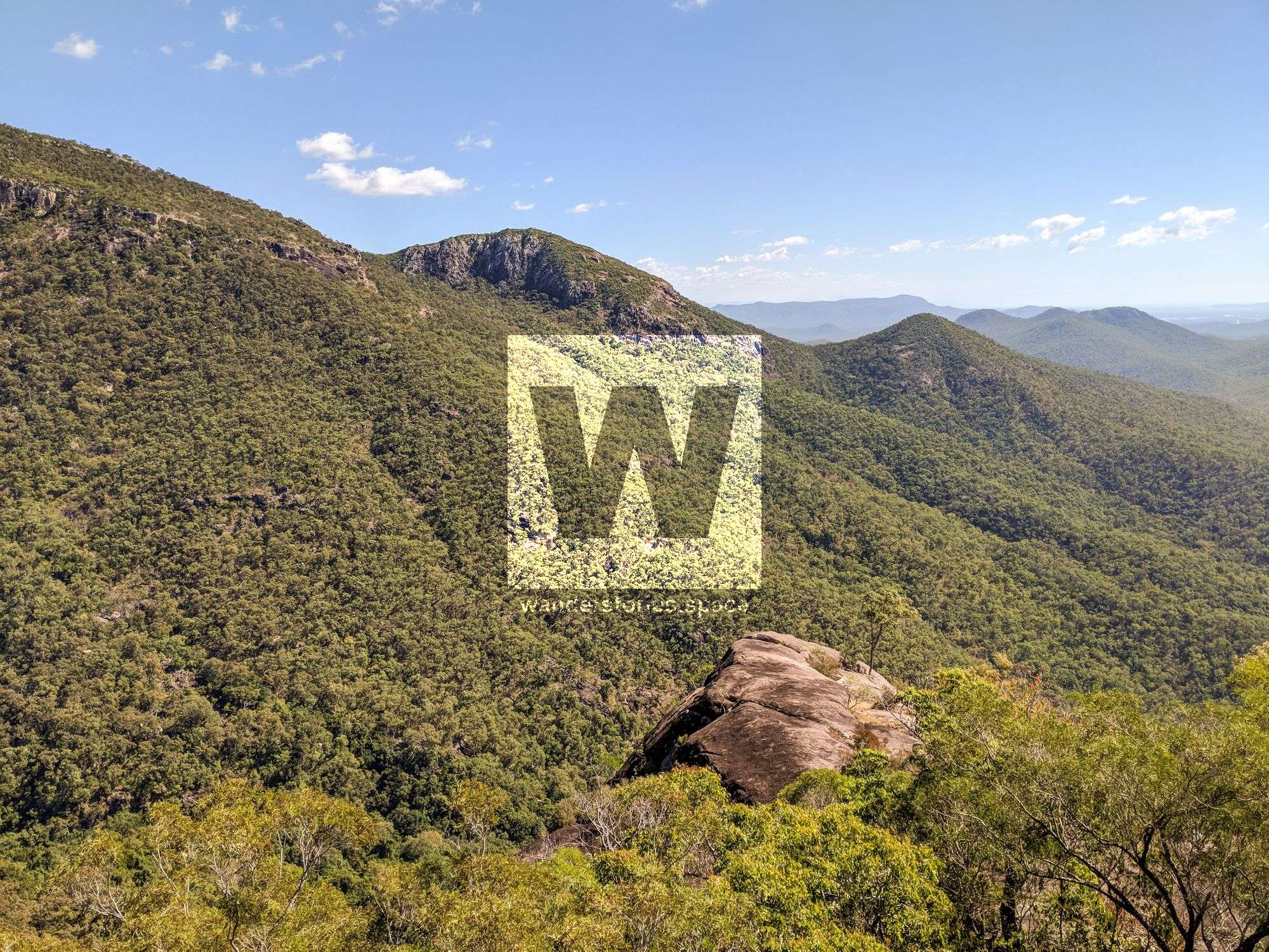
View to Cockatoo Rock and Joy's Cliff - Photo credit: Keith Dyson
Interactive Map
Tips/Notes
You'll need to carry water for most of the day as there is no water resupply away from Slippery Rocks Creek or Cockatoo Creek in the dry season.
Suggest parking one car in the Alligator Creek day-use area for the car shuttle, which removes the last hour of unnecessary walking.
This article, and all other articles, are for entertainment purposes only and are not to be used as a guide. Please see our Disclaimer for more information.