Keelbottom Creek Camping
Keelbottom Creek is located just north of Townsville atop of Hervey Range and is great spot to car camp with your dogs. This is a local favourite for bush camping and swimming, that's only 40 minutes from Townsville.

Location - Hervey Range, North Queensland, Australia
Keelbottom Creek Camping and Water Reserve.
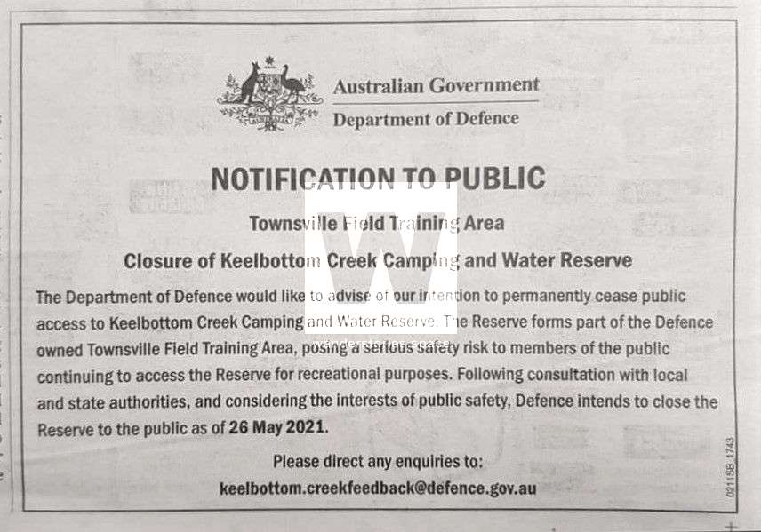
UPDATE 2020: This was a popular camping, four-wheel driving, and dirt biking location, now as of 2020, the area has been fenced off by Defence.
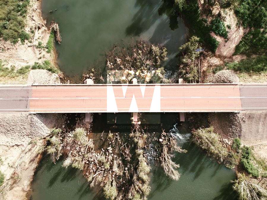
Keelbottom Creek is located just north of Townsville on top of Hervey Range, just off from Hervey Range Road bridge. It's a great spot to car camp with your dogs and is a local favourite for bush camping and swimming, that's only 40 minutes from Townsville.
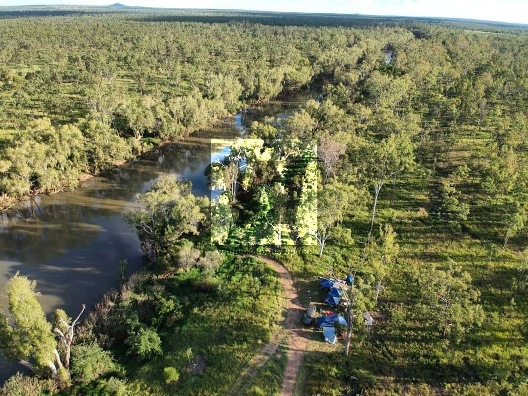

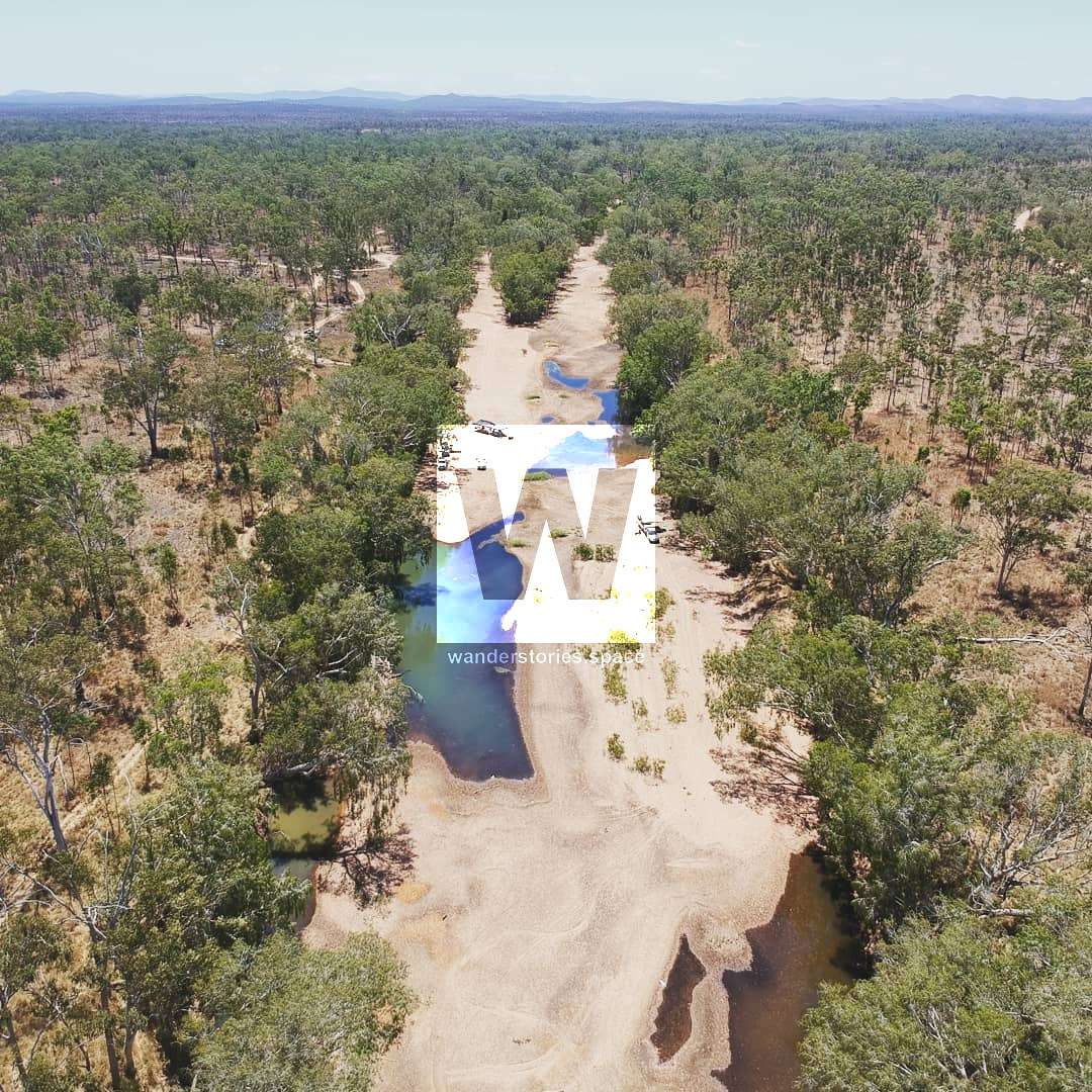
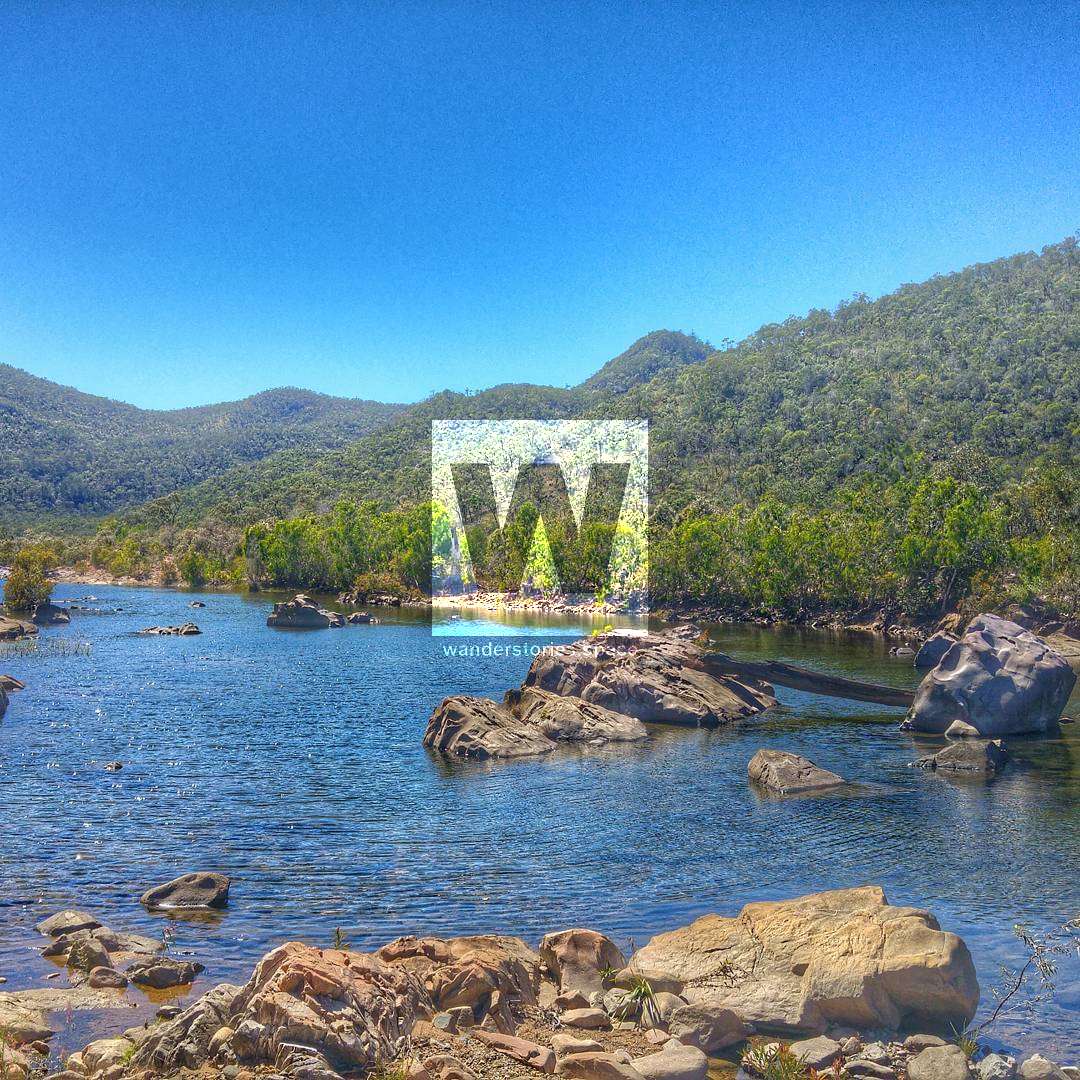
Nestled deep within the heart of Far North Queensland, stretching across 80 kilometres of arduous, rugged terrain, lies the beating heart of the Burdekin Catchment at Keelbottom Creek. The headwaters of the water course are formed from the slopes of Paluma Range National Park and flow into the Burdekin River.
Interactive Map
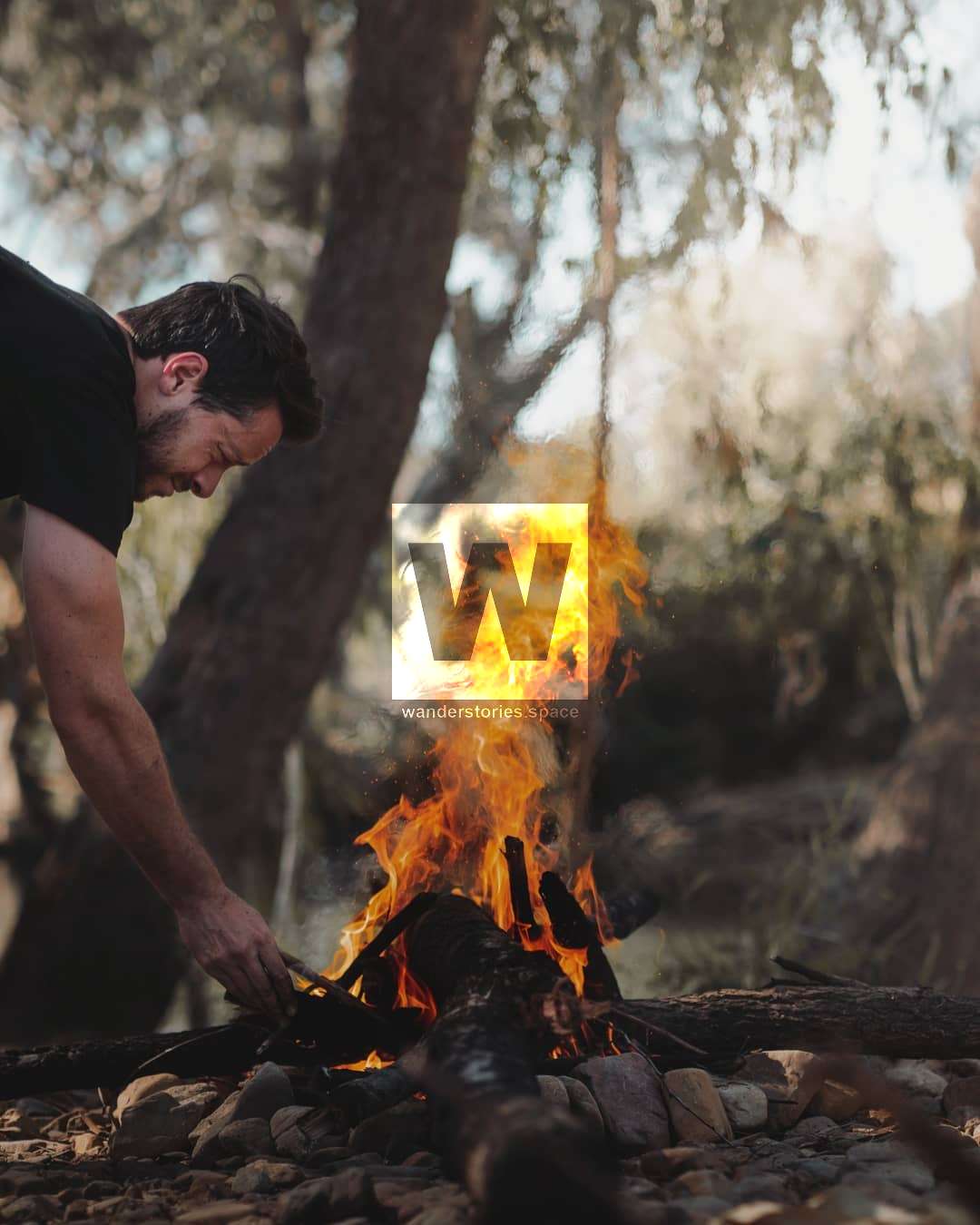
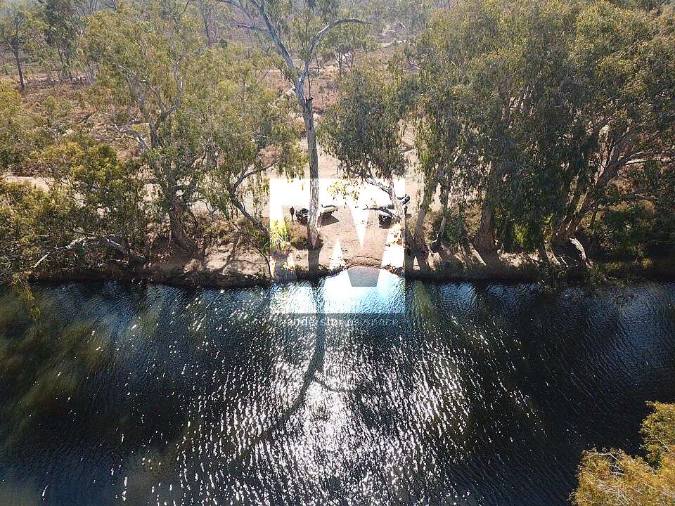
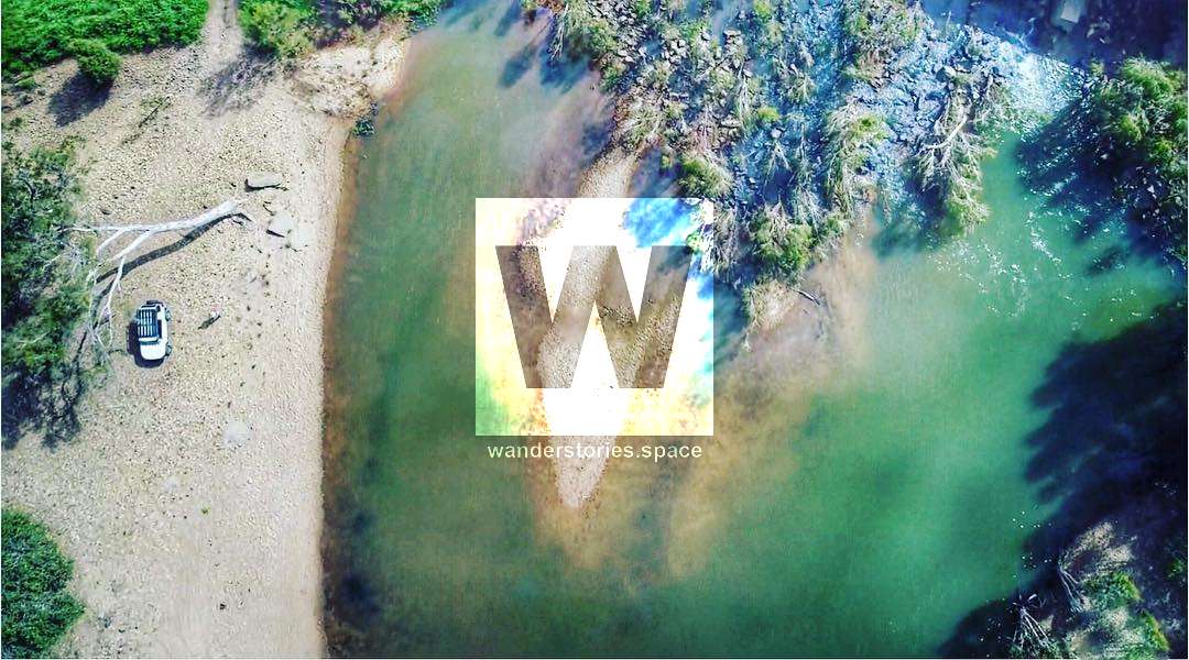
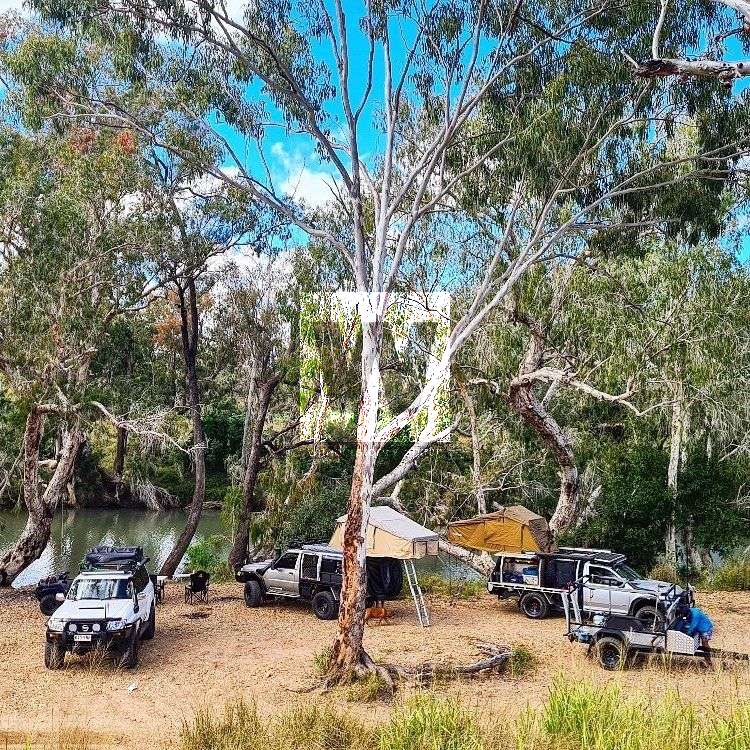
This area makes for an ideal camping area with a number of four-wheel drive tracks on either side of the bridge crossing, Keelbottom Creek is home to luscious wetlands and magnificent scenery. The creek is lined with paperbark trees which provide decent shade. This swimming hole is best after a good wet season. There are no amenities but freshwater and fires are permitted. Some parts are a bit rocky under foot but overall a fantastic place to camp for a weekend.
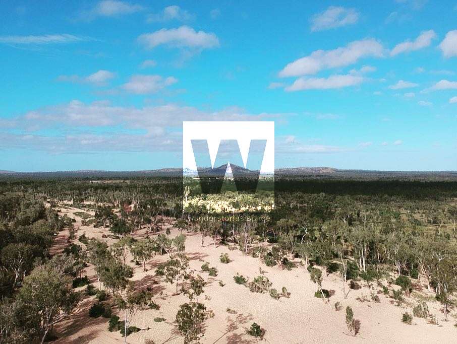
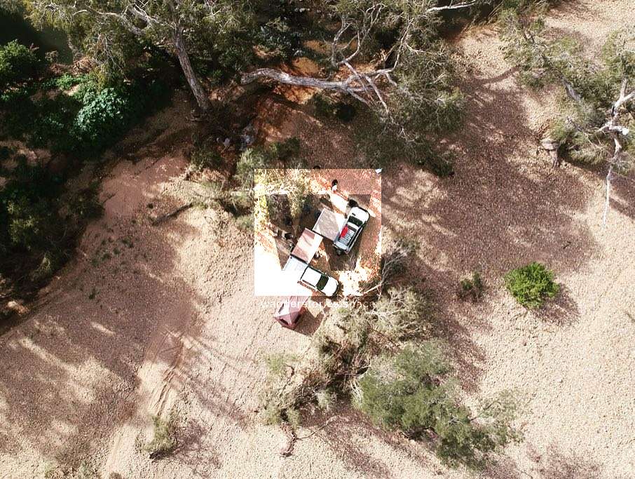
Allow time to pick the best spot for camping. If you're keen to have a bit of an explore, and find your own camp spot, a four-wheel drive will be generally required. The four-wheel drive track is easy, though. Unless if the track has seen rain, you won't need a four-wheel drive for access near the road, and should be able to find somewhere to park.

Department of Defence purchased the station as a training ground, and therefore, with the exception of exploring the tracks either side of the bridge, the land around Keelbottom Creek is off limits, with zero accessibility. You can see the military sign below, typical at any of the dirt roads that tempt you for an explore.
See also Fanning River.
This article, and all other articles, are for entertainment purposes only and are not to be used as a guide. Please see our Disclaimer for more information.