Mingela State Forest, Reid River area
Mingela State Forest covers an area of about around 7,800 hectares and is located in the North Queensland, west of Townsville and just east of Migela township. Mingela State Forest has a length of 75.5 kilometres and includes four named mountains.

Location - Mingela State Forest, North Queensland, Australia
Difficulty - Grade 4/5
Distance - 15 km return depending on route
Time - Allow 4-8 hours return depending on route
Mingela State Forest covers an area of about 7,800 hectares and is located near Reid River, North Queensland, west of Townsville and just east of Mingela township. Mingela State Forest has a length of 75.5 kilometres and includes four named mountains. Mount Ellenvale (678 m) is the highest point and the most prominent mountain is Mount Flagstone (591 m). The other two mountains are Black Mountain (428 m), Brown Mountain (600 m). Saint Georges Tree (564 m) and Ross River Mountain (589 m) live just outside of the State Forest.
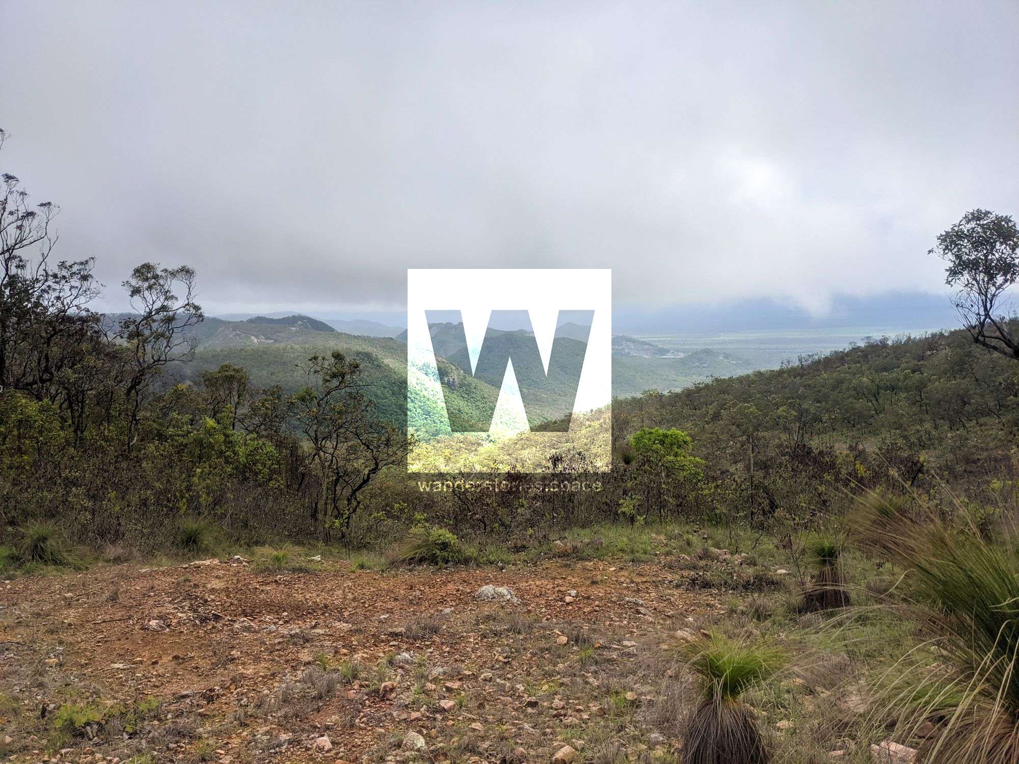
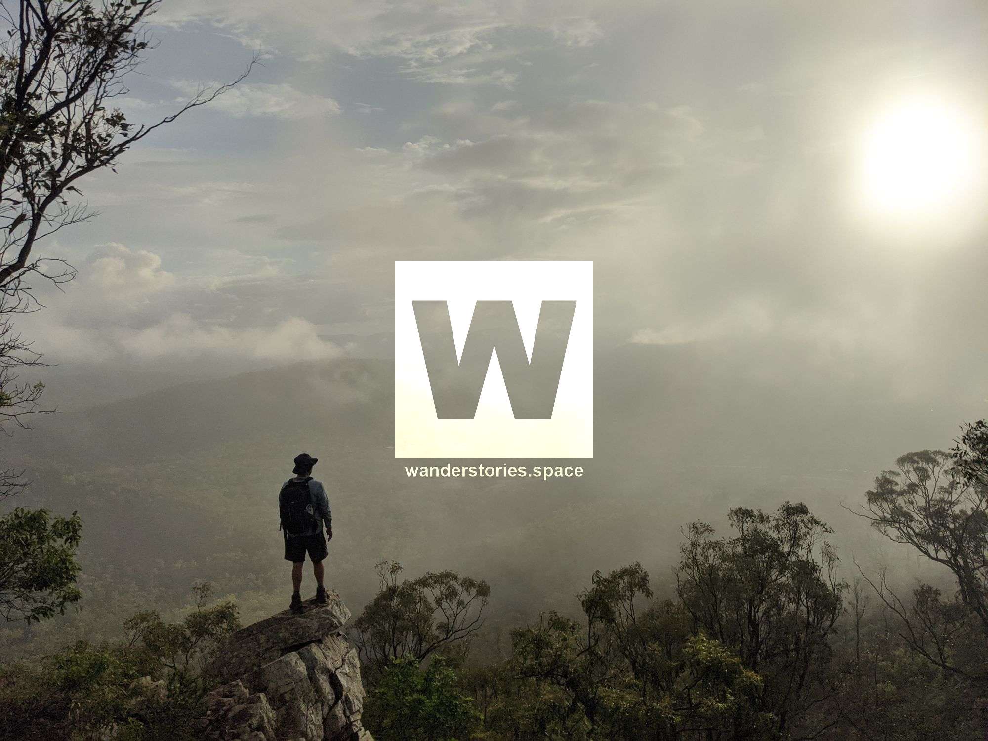
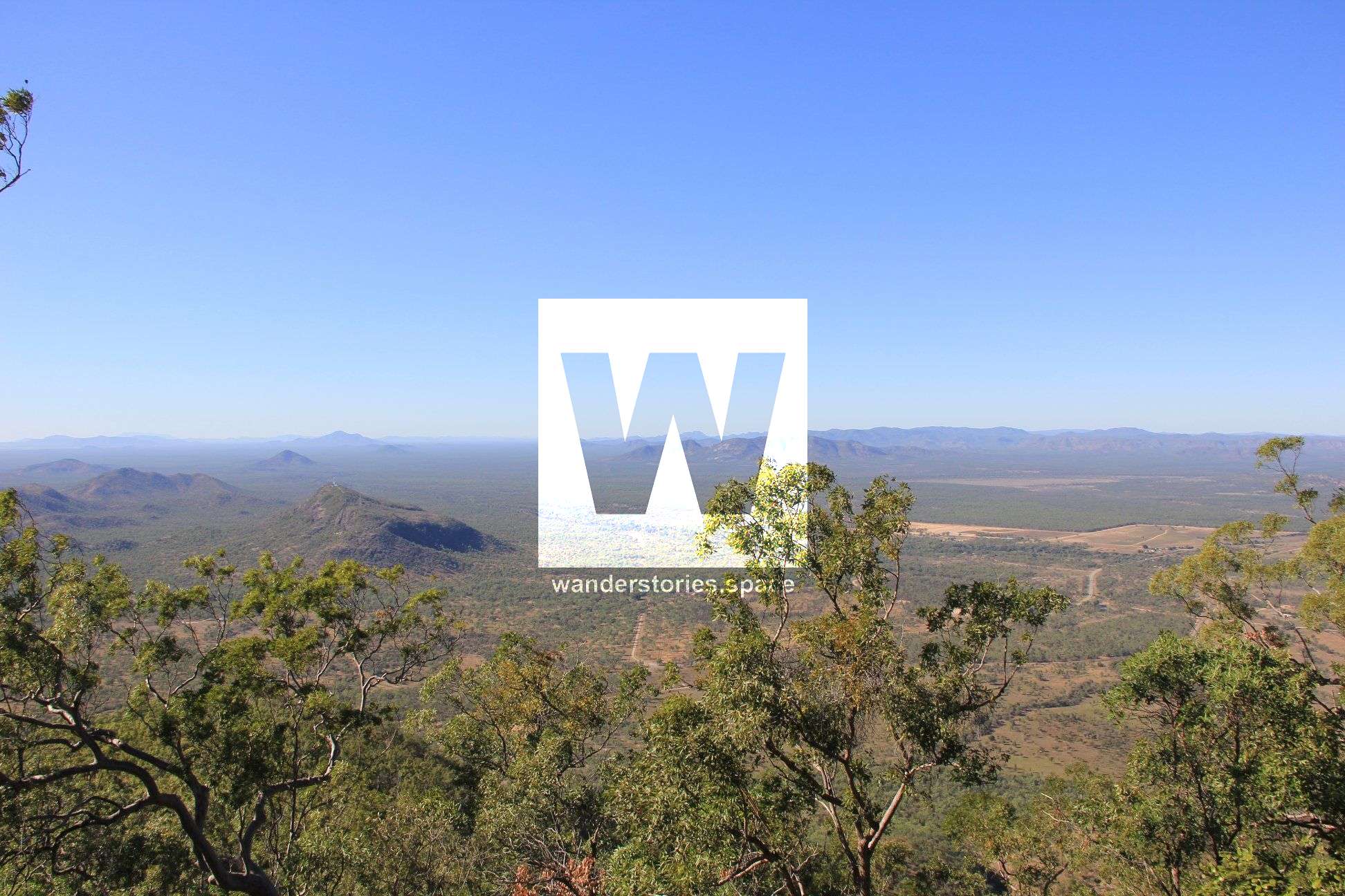
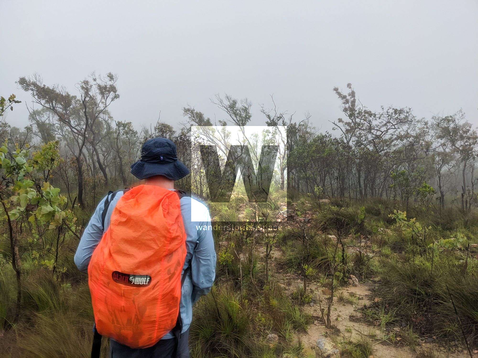
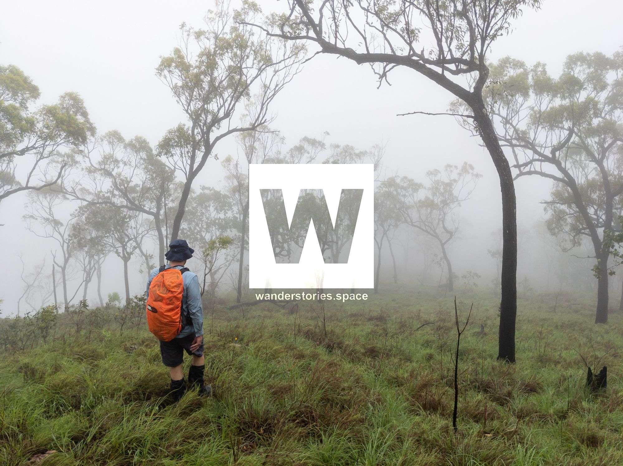
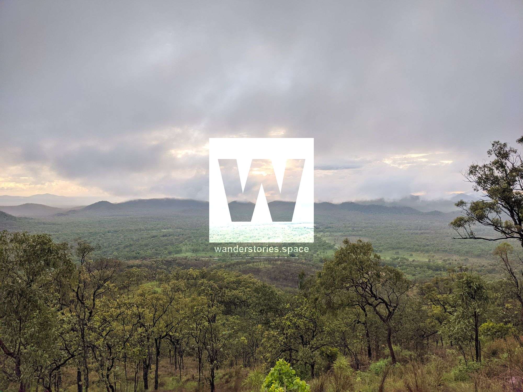
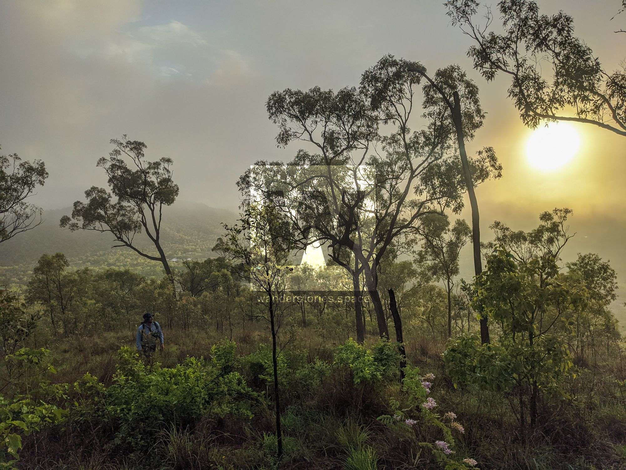
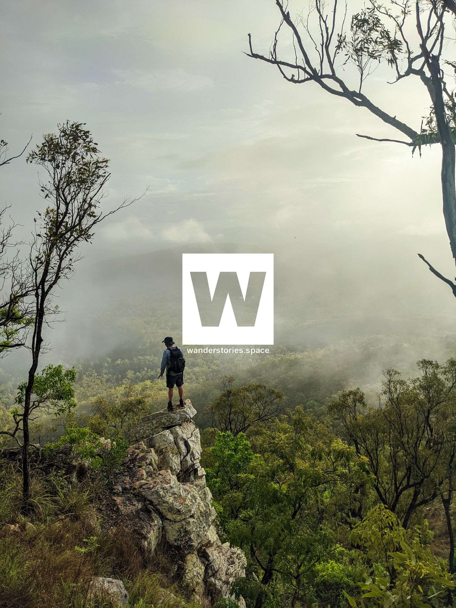
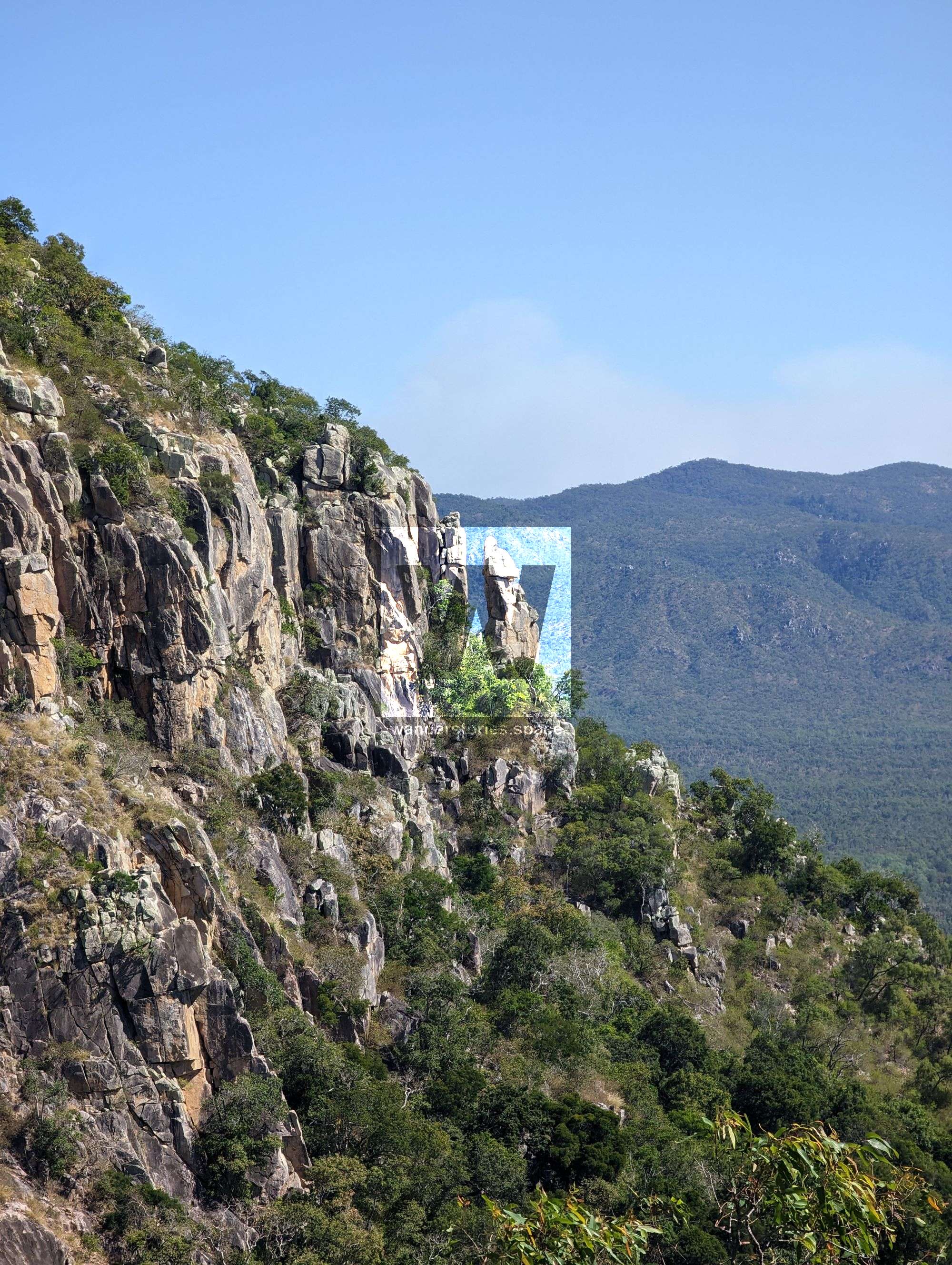
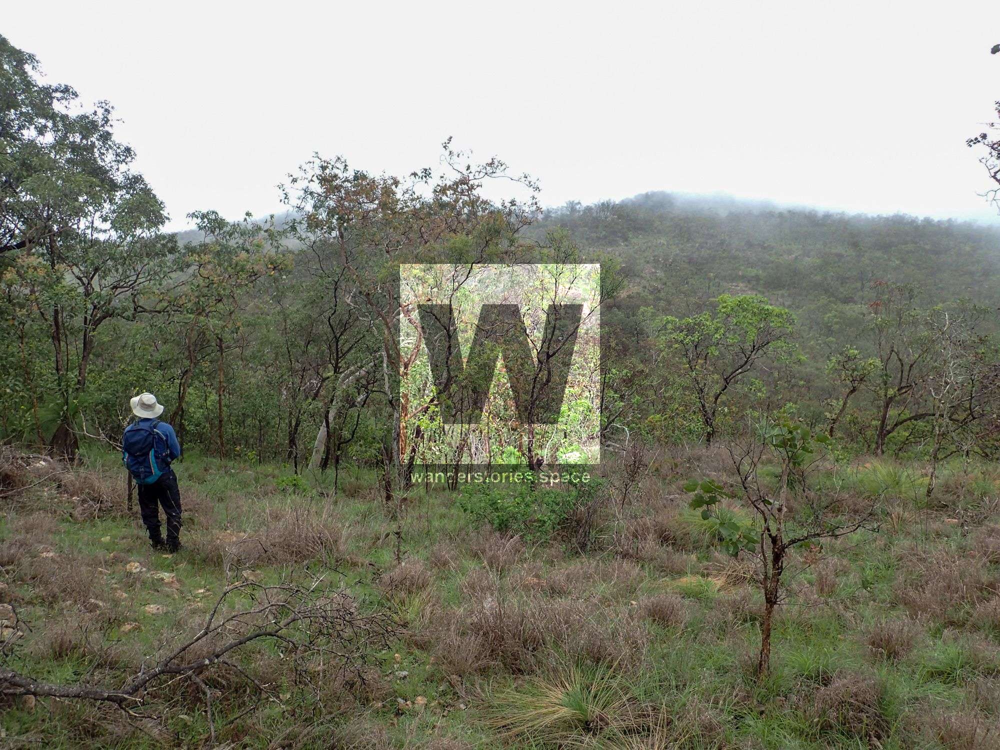
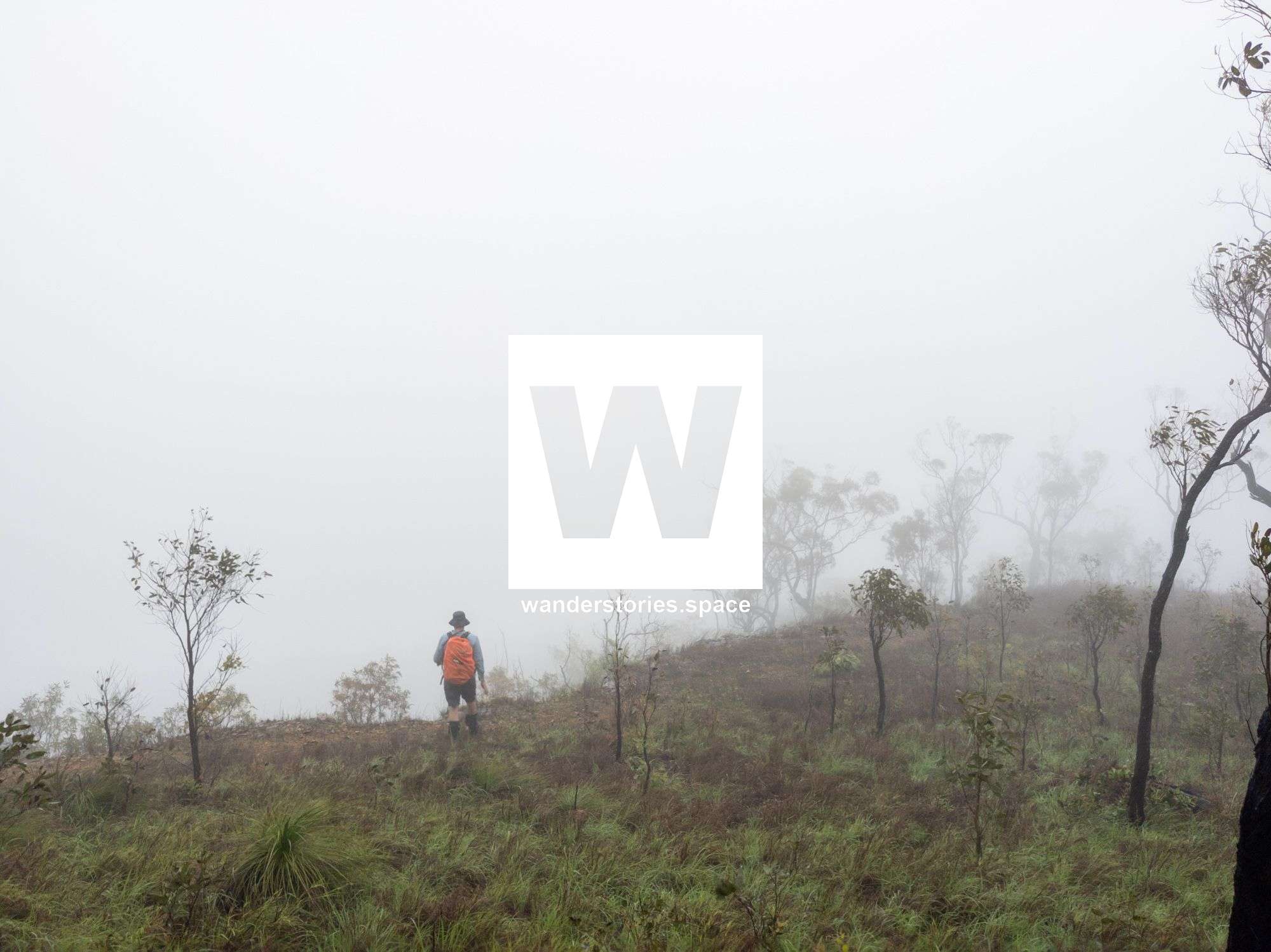
The countryside will provide you with great views and photographic opportunities, particularly eastwards towards Bowling Green Bay National Park and Townsville City. Views of Bowling Green Bay National Park, Pinnacles National Park, Ross River Dam, Mount Stuart Range and the country to the West of Townsville. In an open country like this, it's easy to stick to the ridgelines and take in the views. Only after heavy rain, the seasonal creeks flow. Half the range runoff flows into Reid River and the other half provides a sizable flow for the Ross River - Ross River Dam provides all of Townsville water supply.
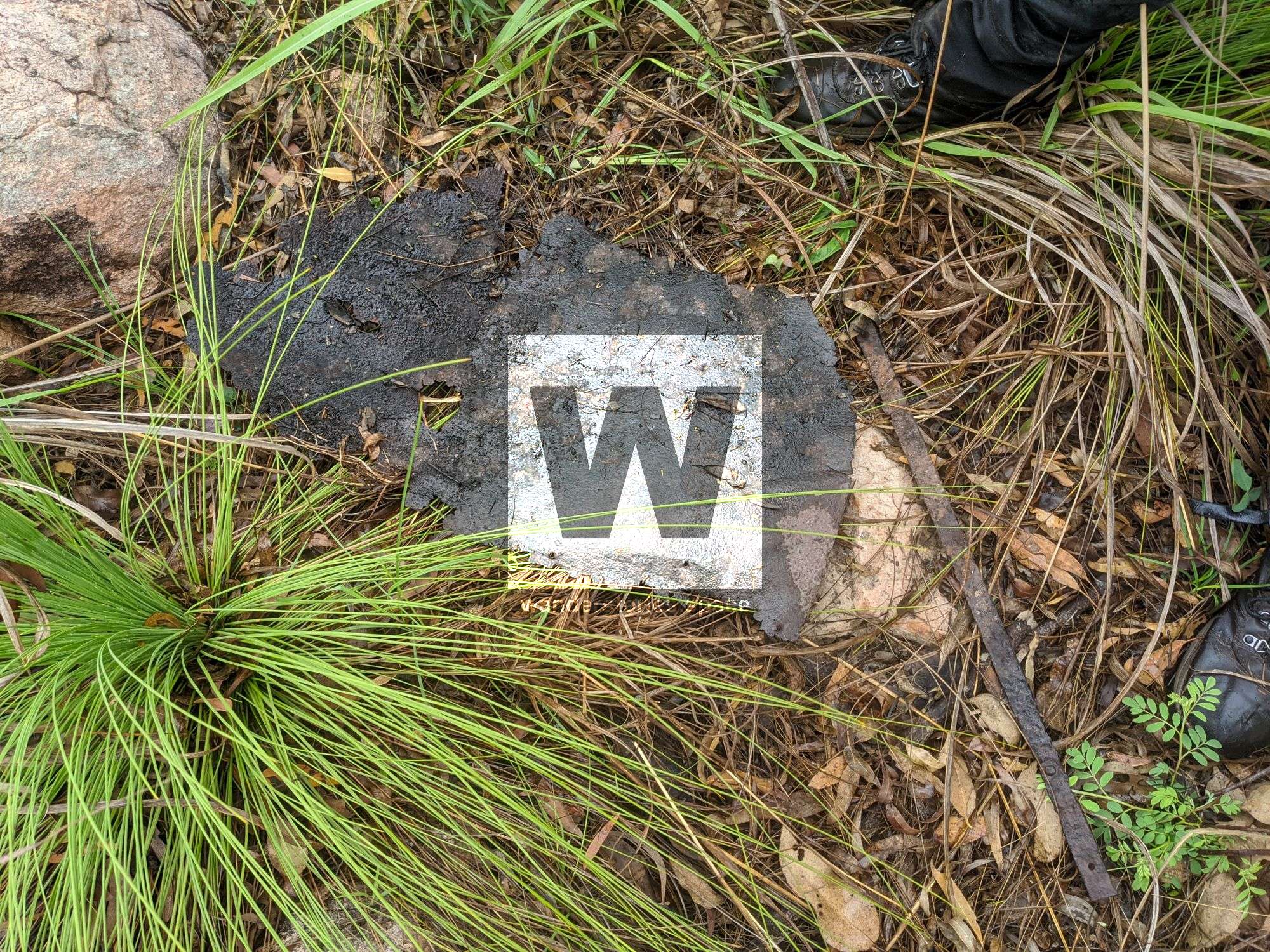
Access to the state forest is the main issue as it's surrounded by private property with several of the mountain summits just laying outside its bounds. There are a few mines nearby and also the old The Flagstone Mine which is an abandoned limestone/carbonates mine. You can easily see the limestone quarry Calcium from the highway and along this hike. This area is also home to Brown Mountain Gorge.
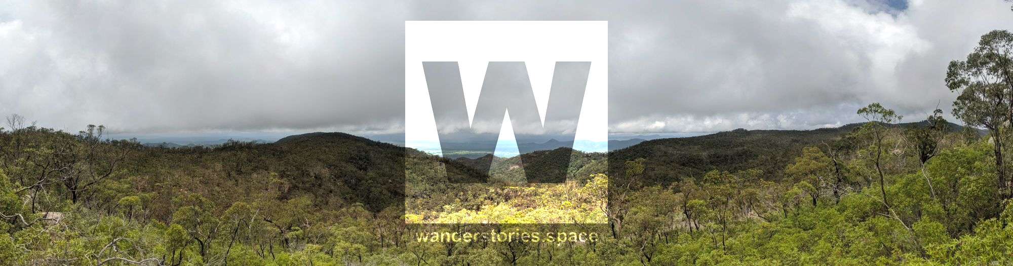
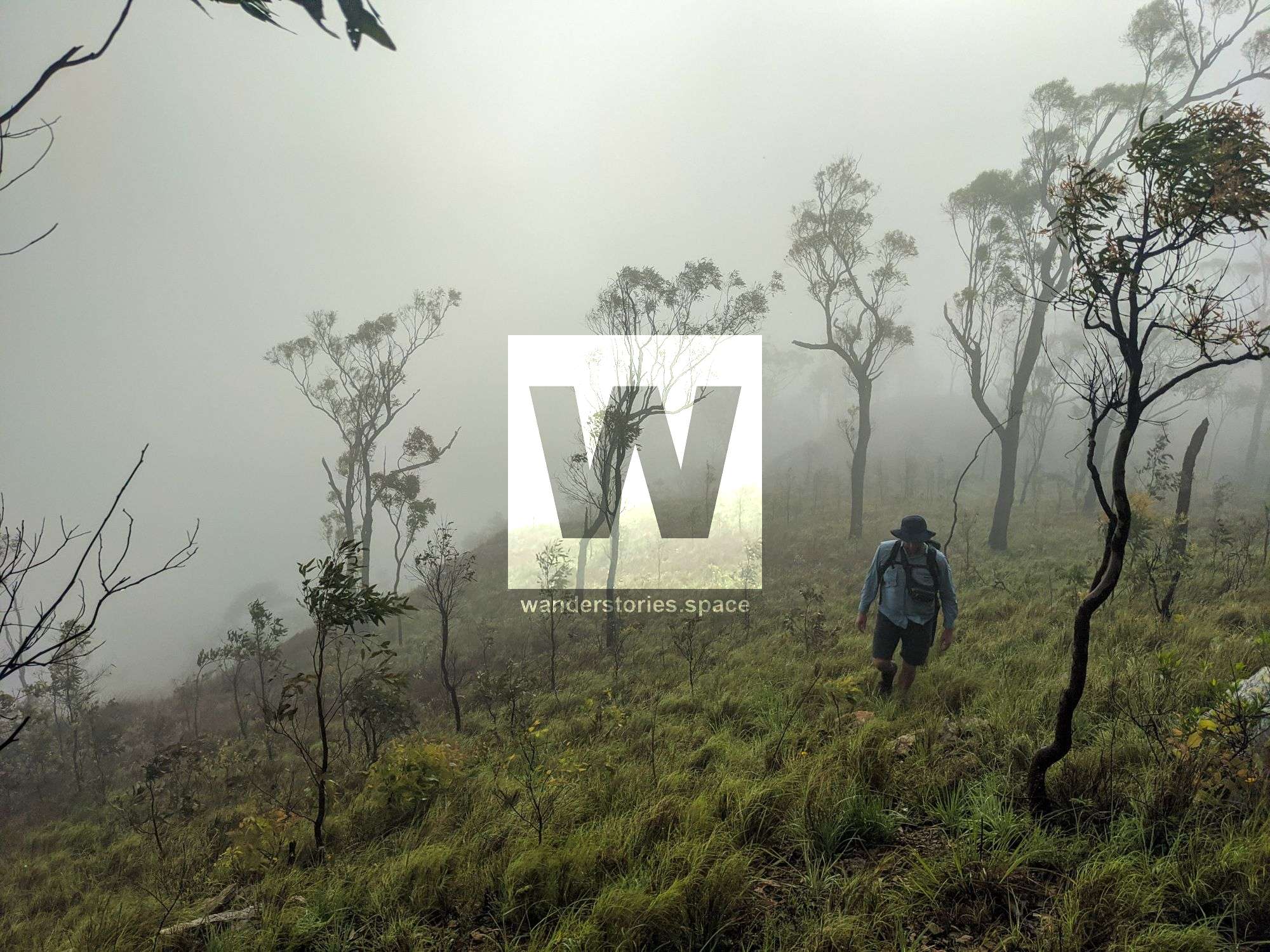
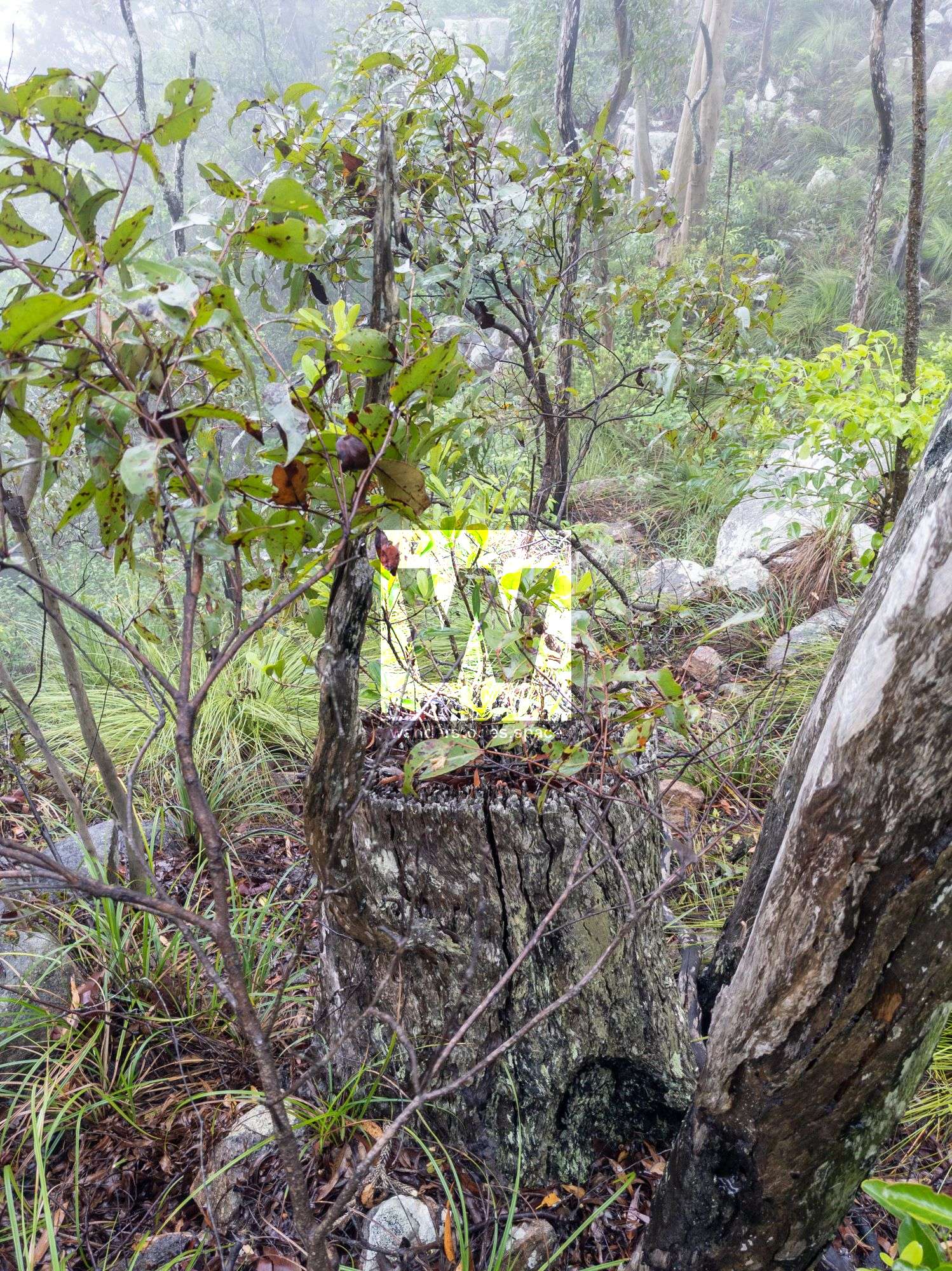
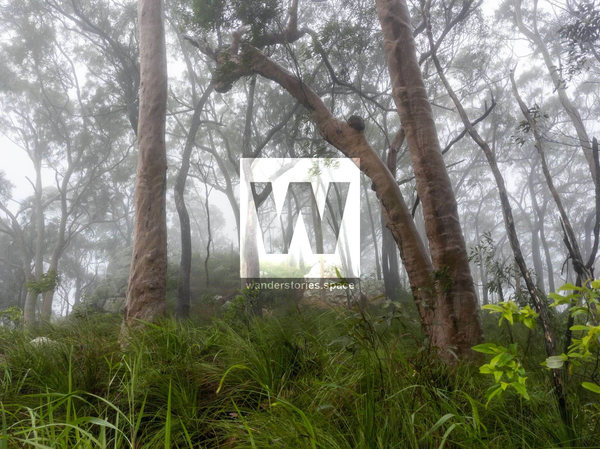
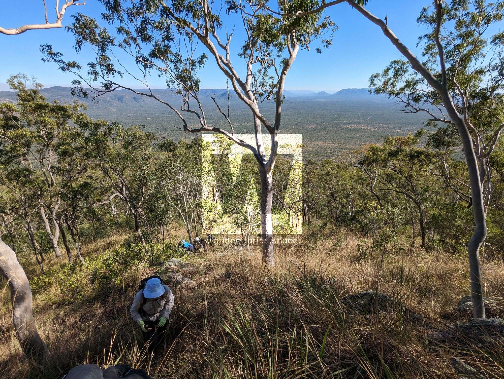
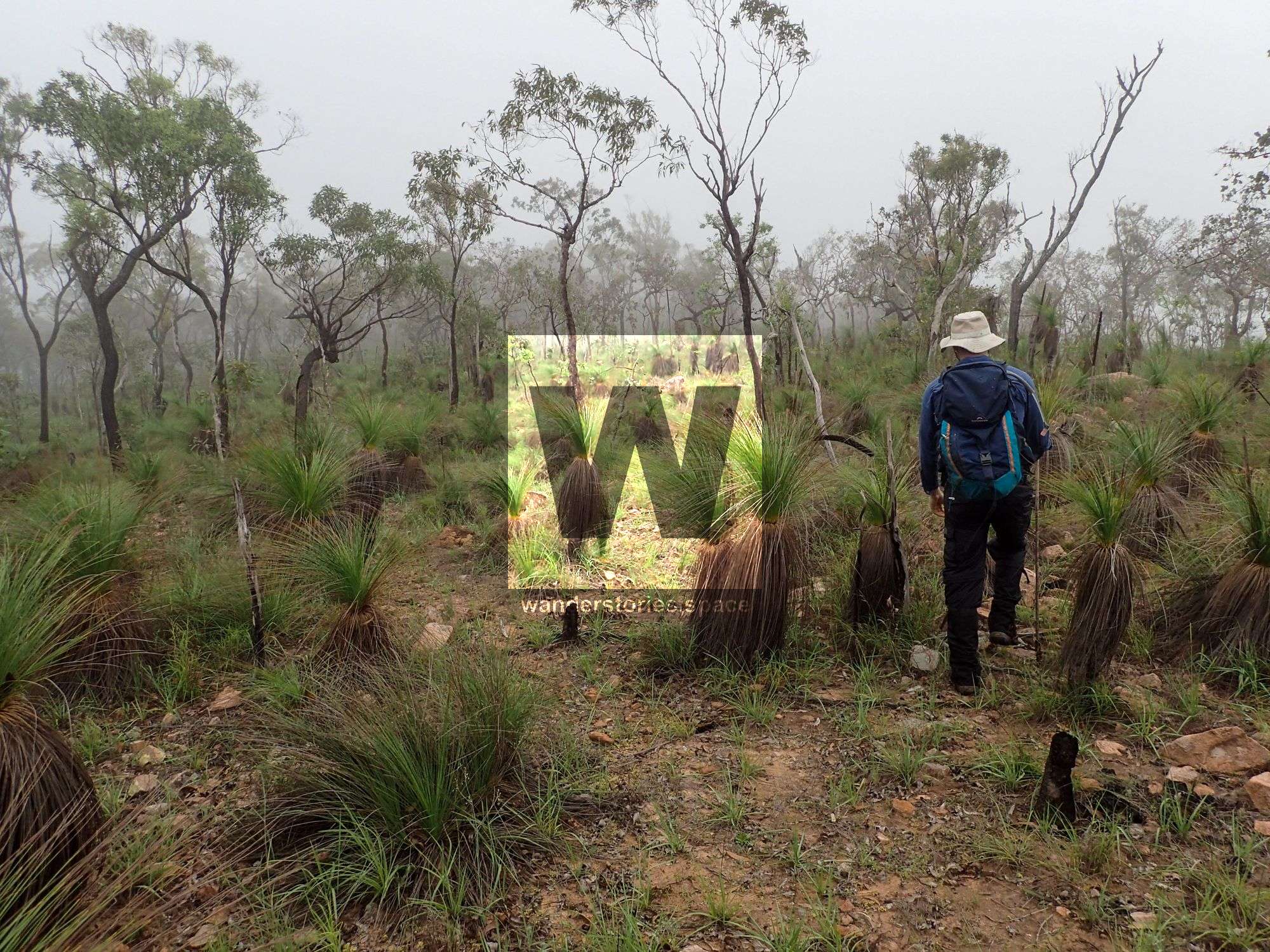
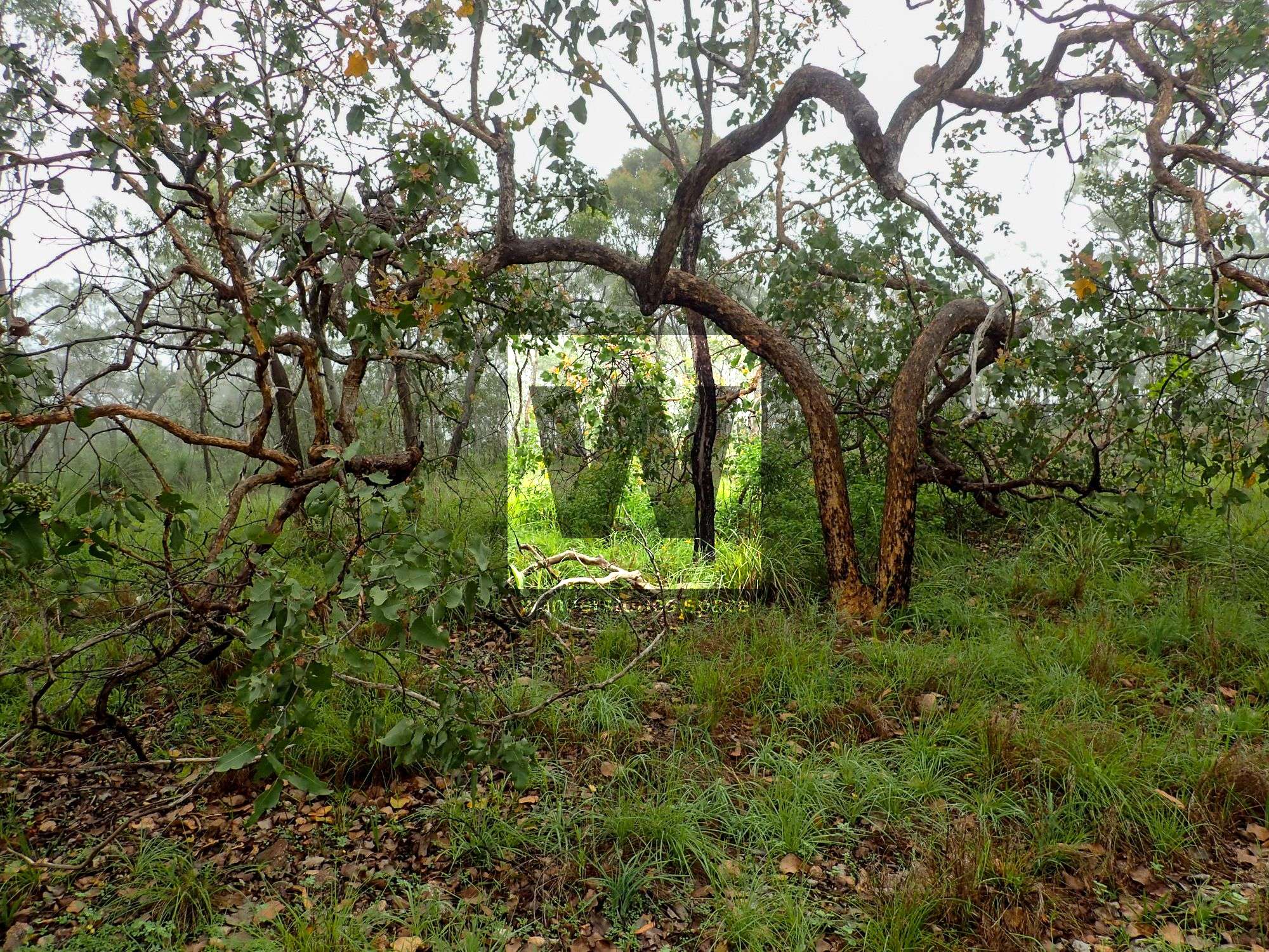
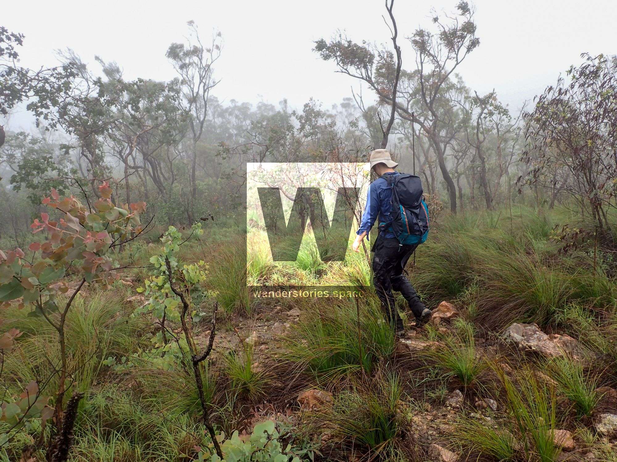
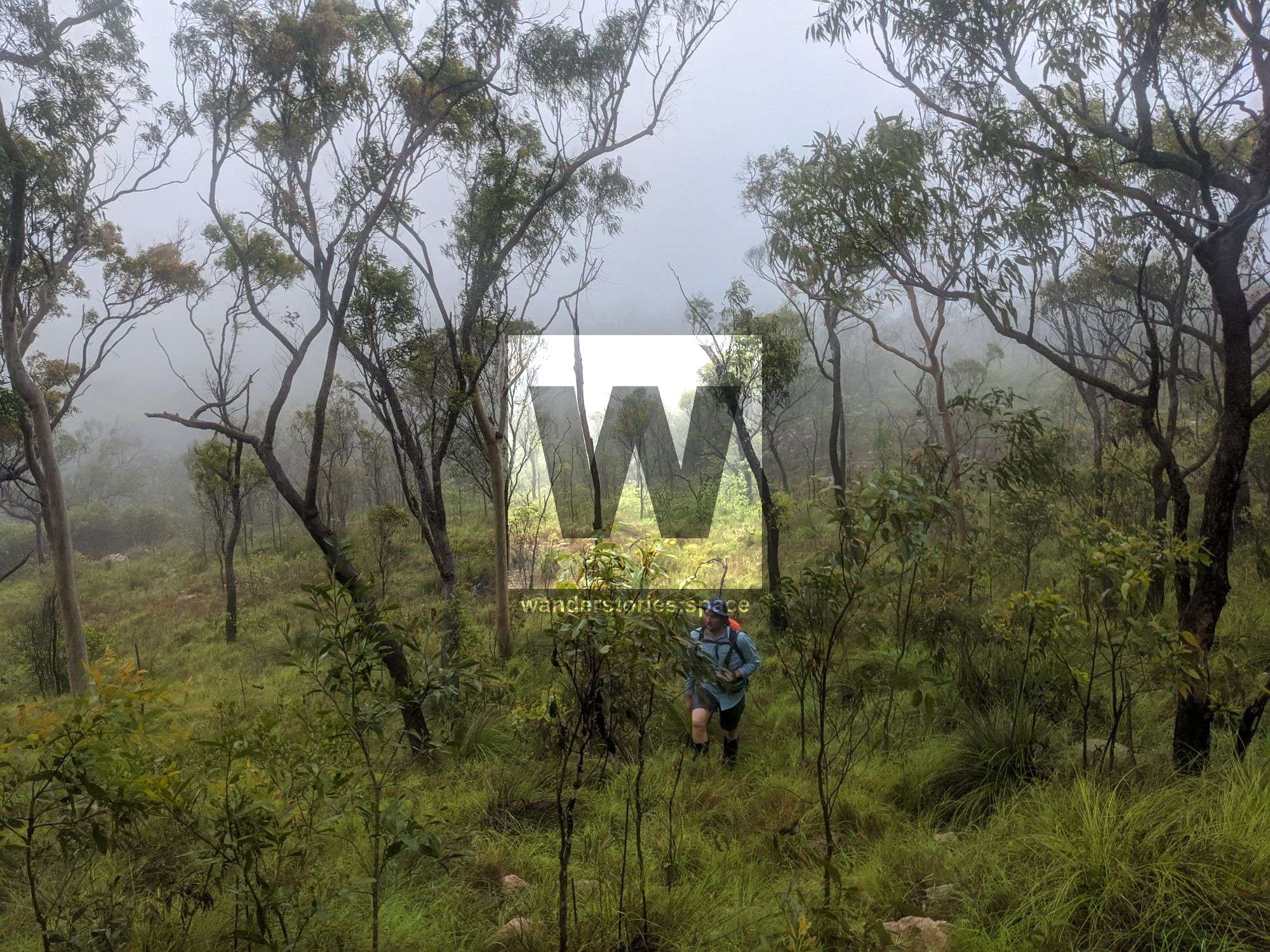
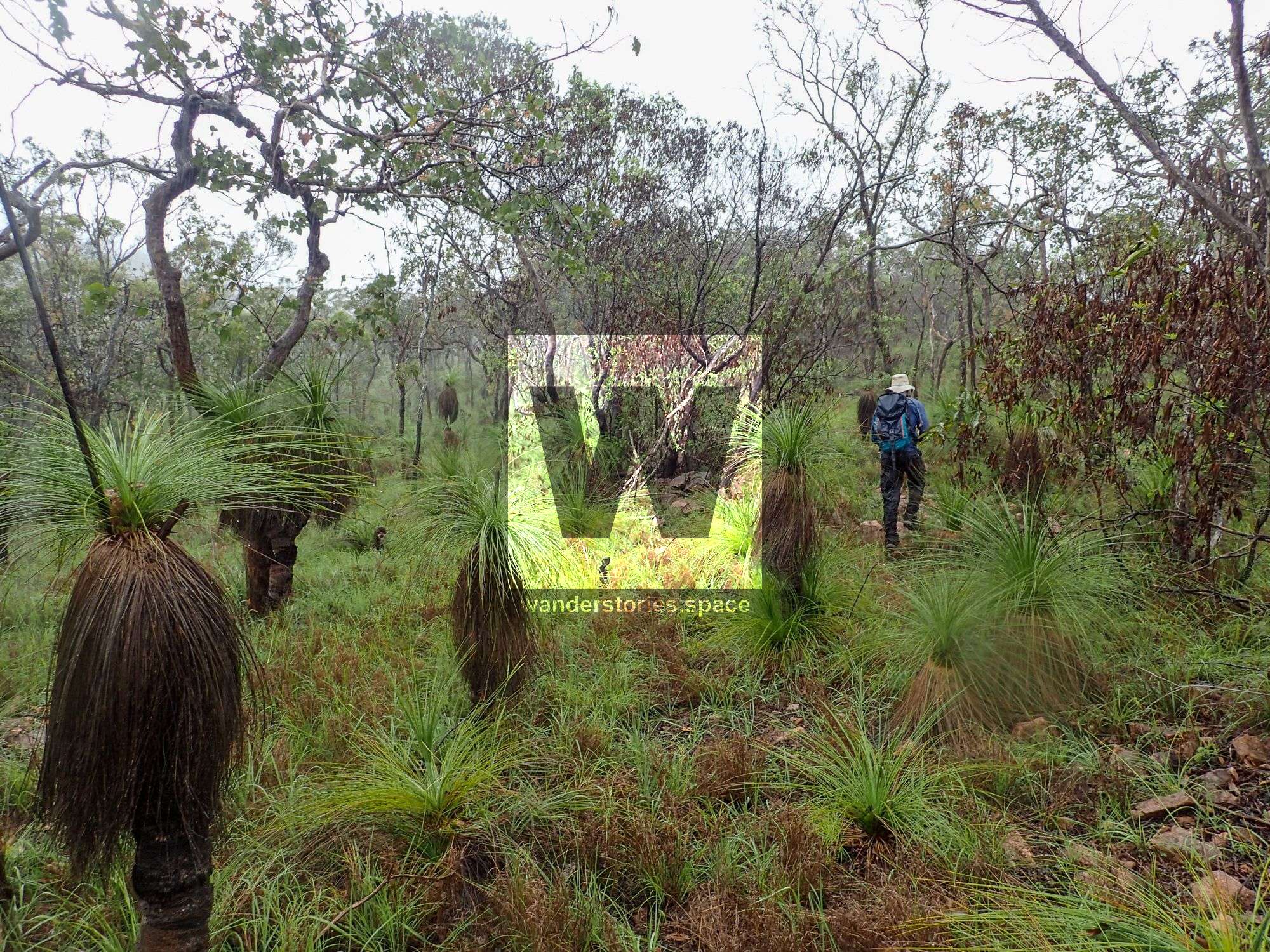
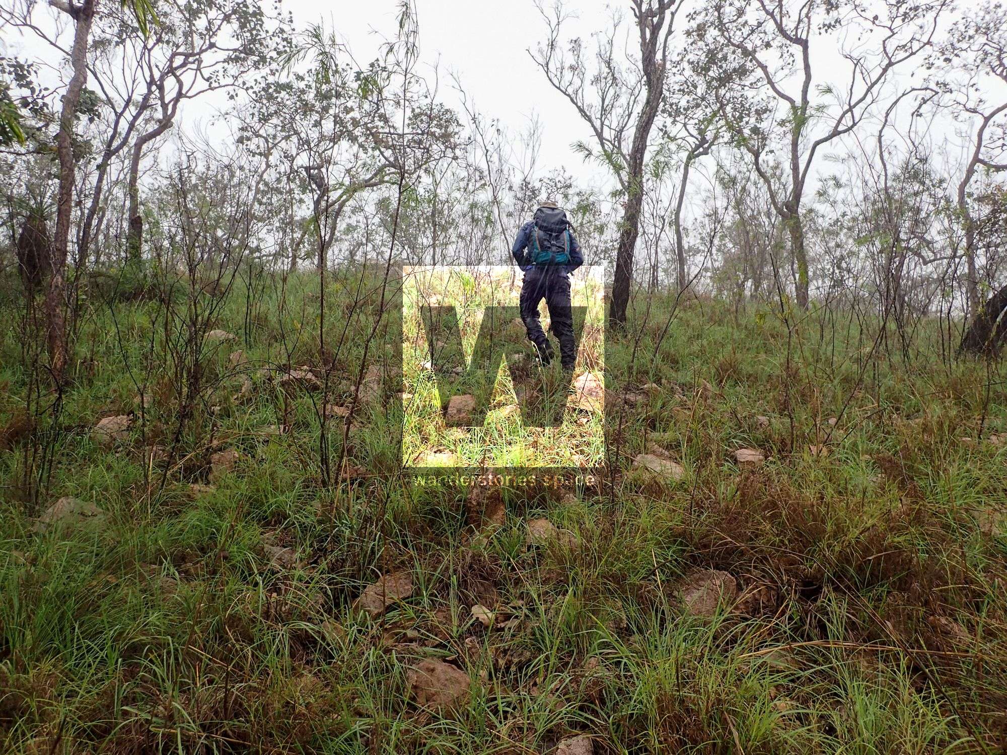
There are no tracks within this state forest but the landscape is open grasslands and the higher points will reward you with some great views of the surrounding countryside.
If you would like to see this area, email the Townsville Bushwalking Club.
Interactive Map
How to get there
Access is via private property via Manton Quarry Road and near Plant Hill Road.
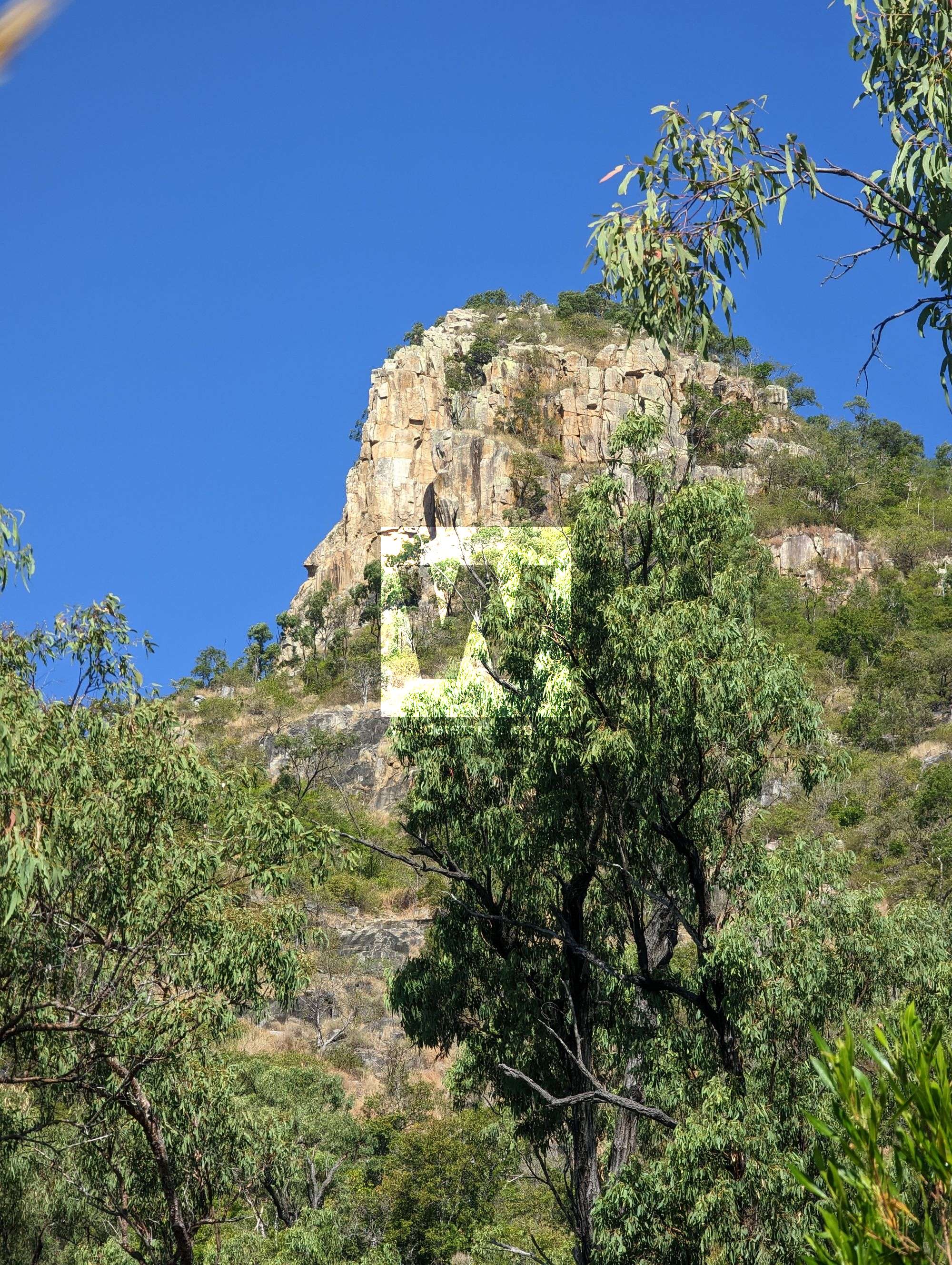
Saint George's Tree summit
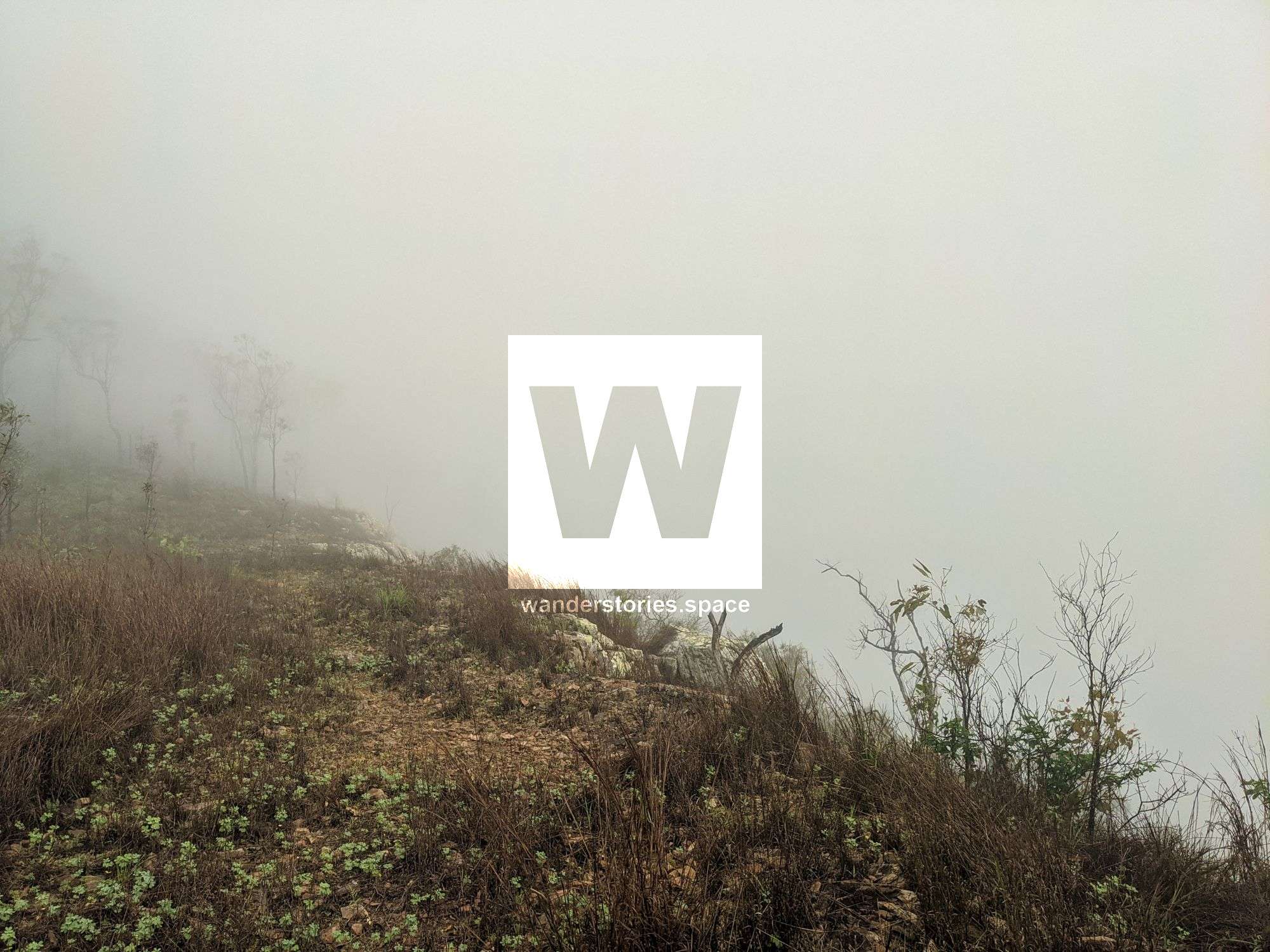
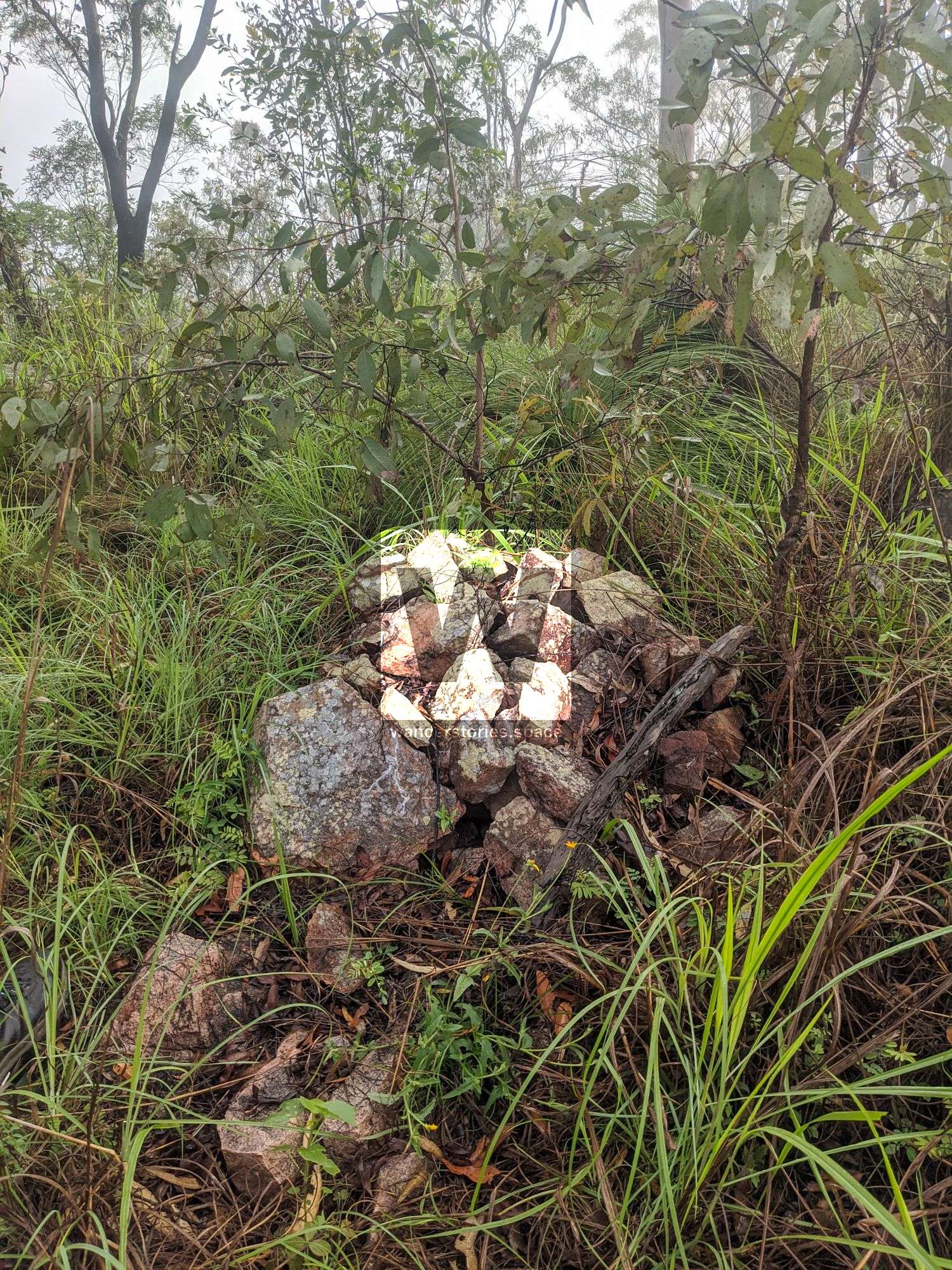
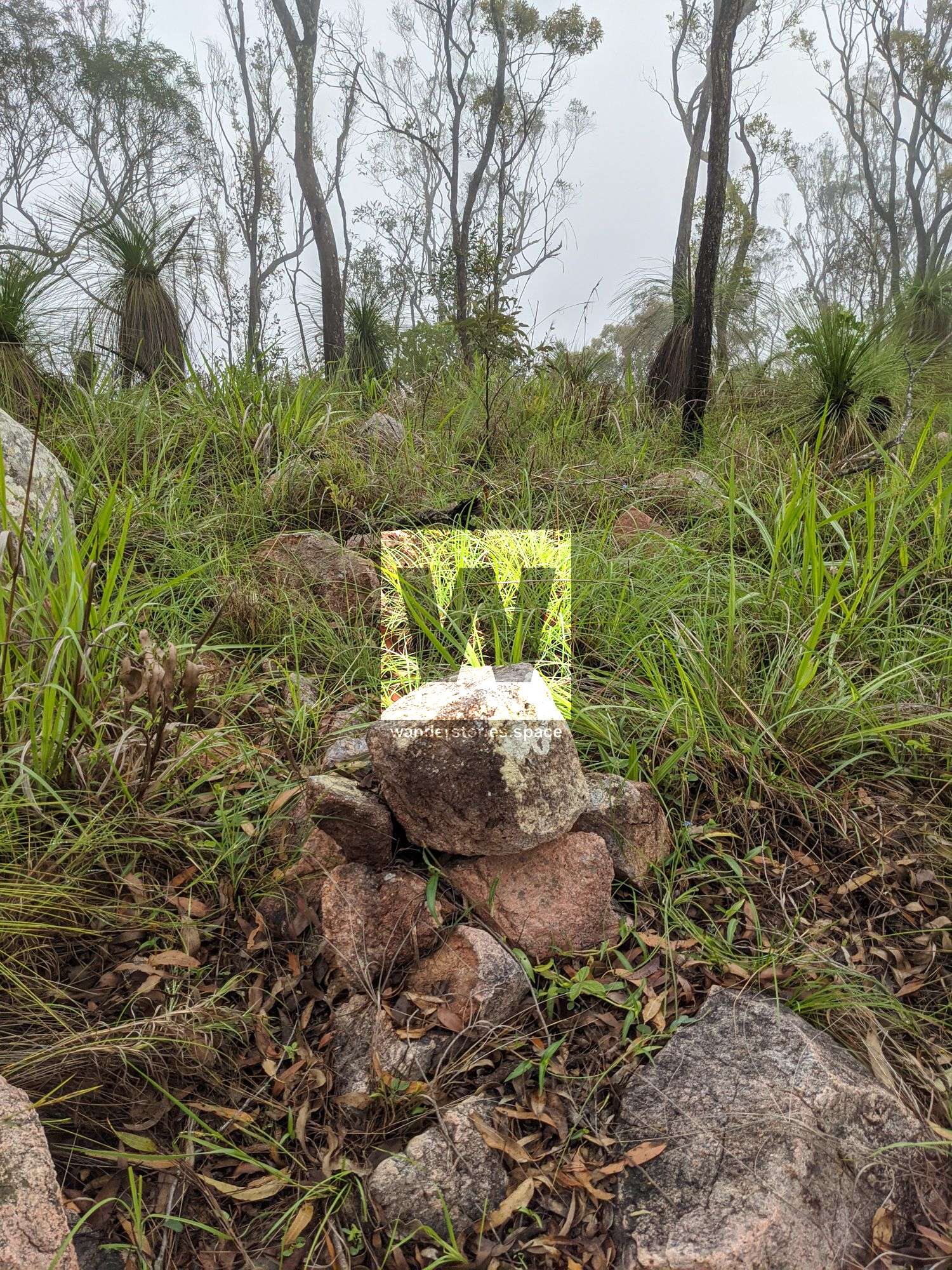
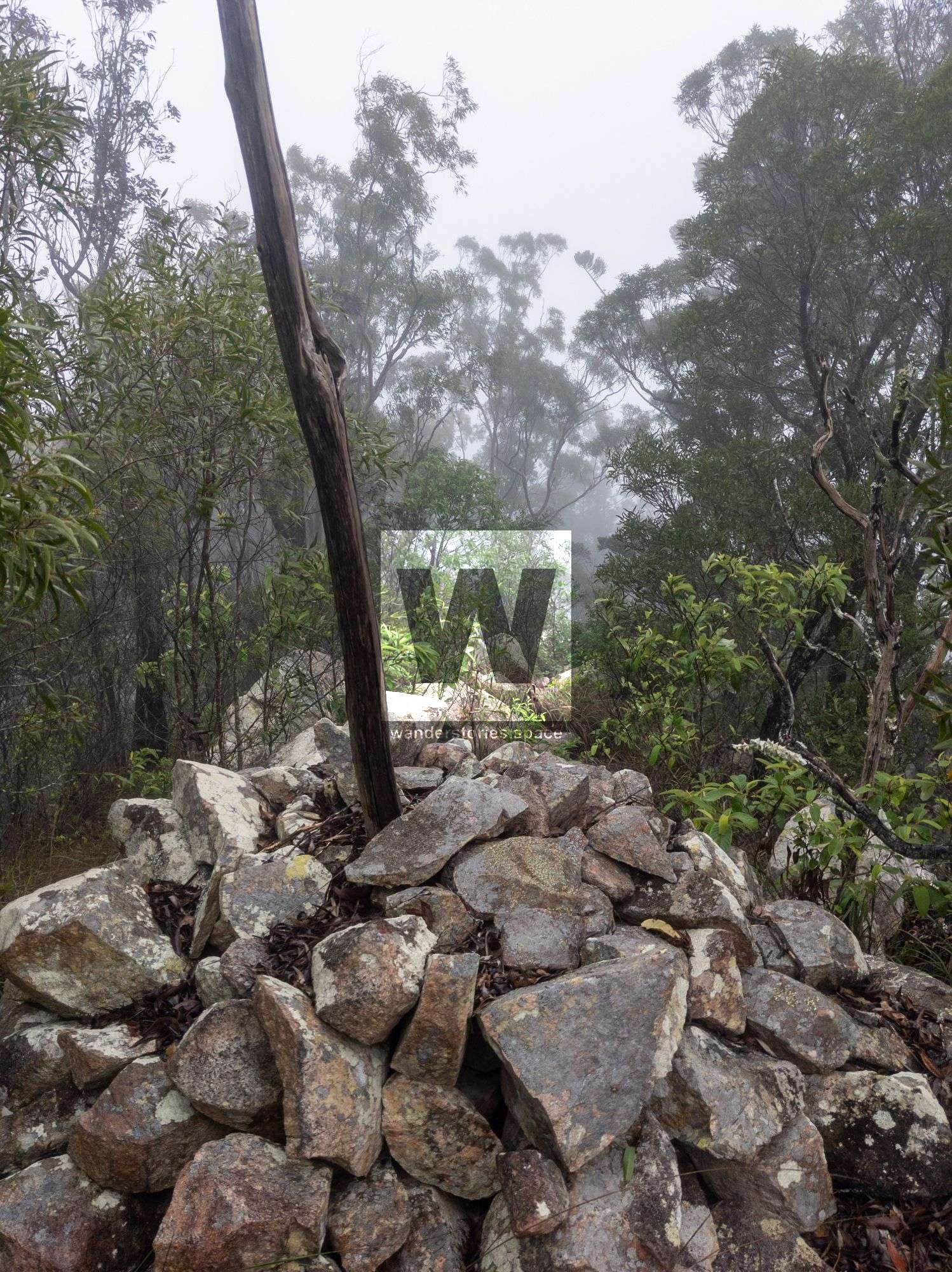
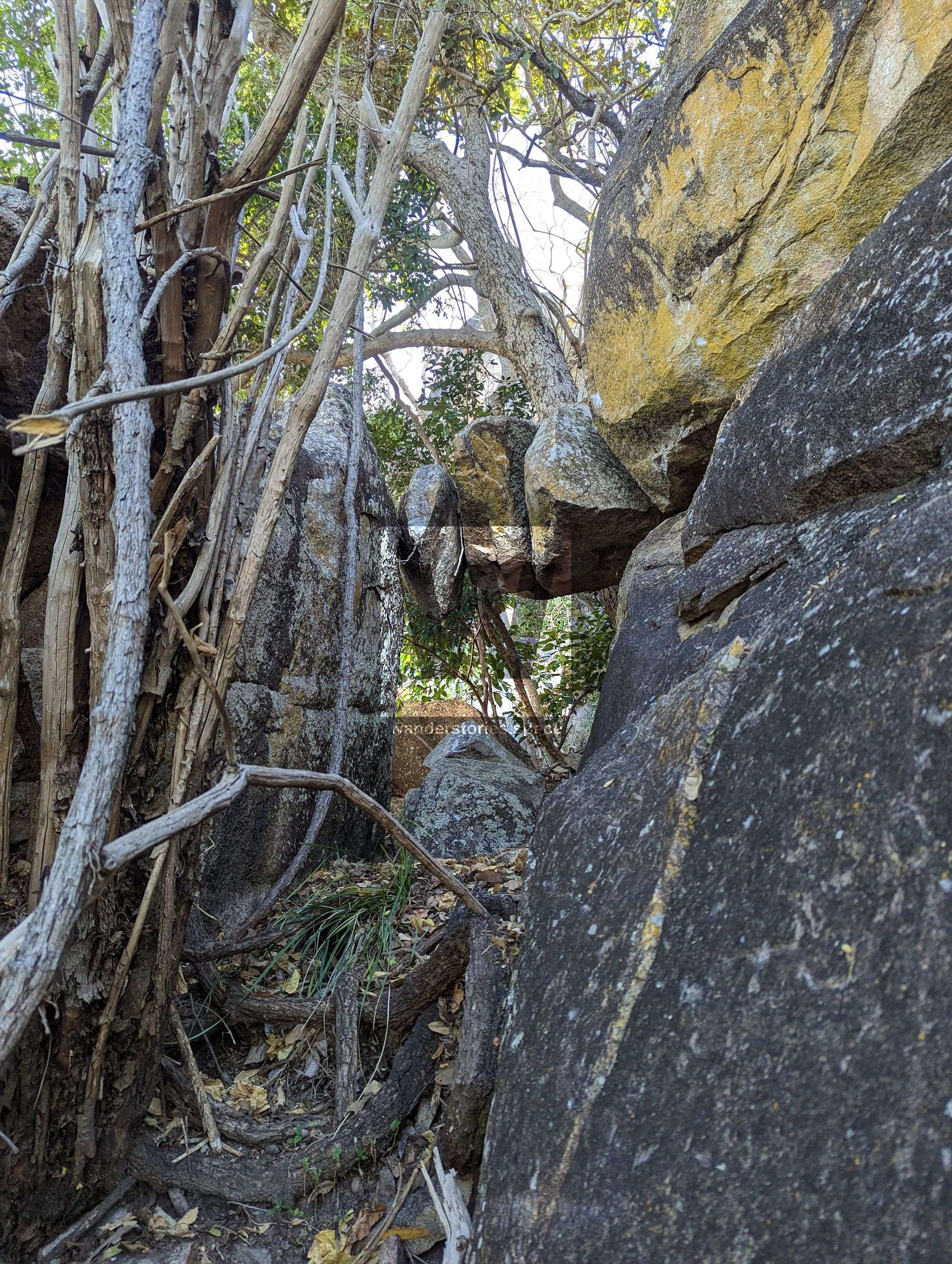
If accessing the state forest via the highway (near Puma Calcium), you will need to gain permission beforehand. Walk through the private property and up along the ridgeline. The ridgeline flattens out before you reach Saint George's Tree (564 m) Check out the rock cairn.
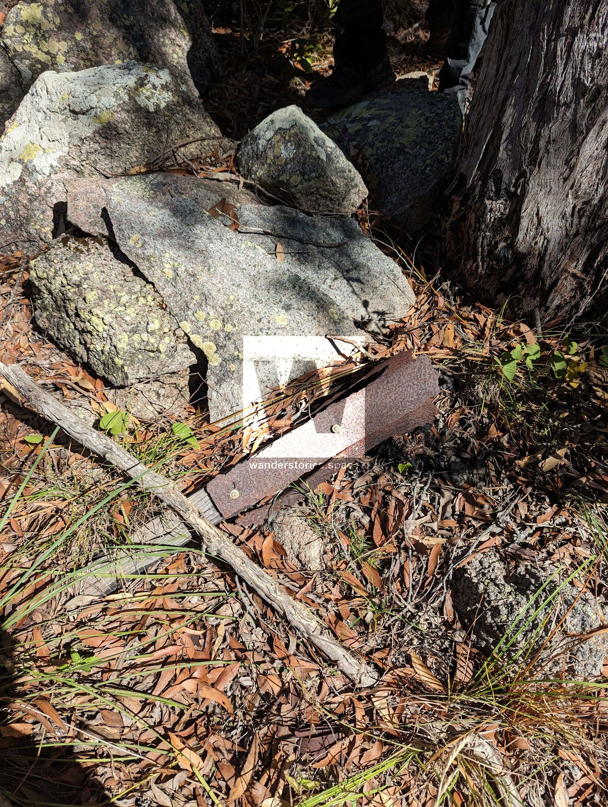
Brown Mountain summit
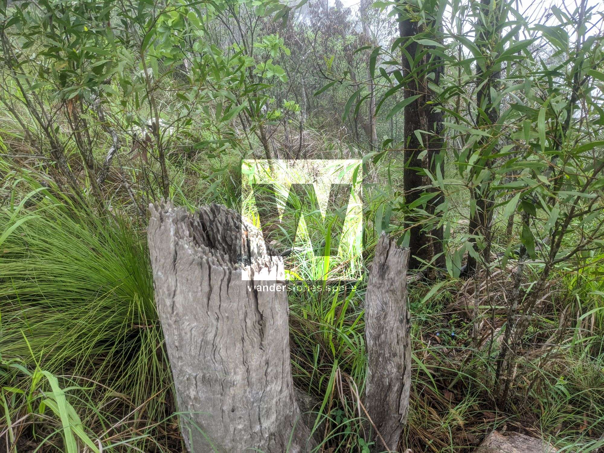
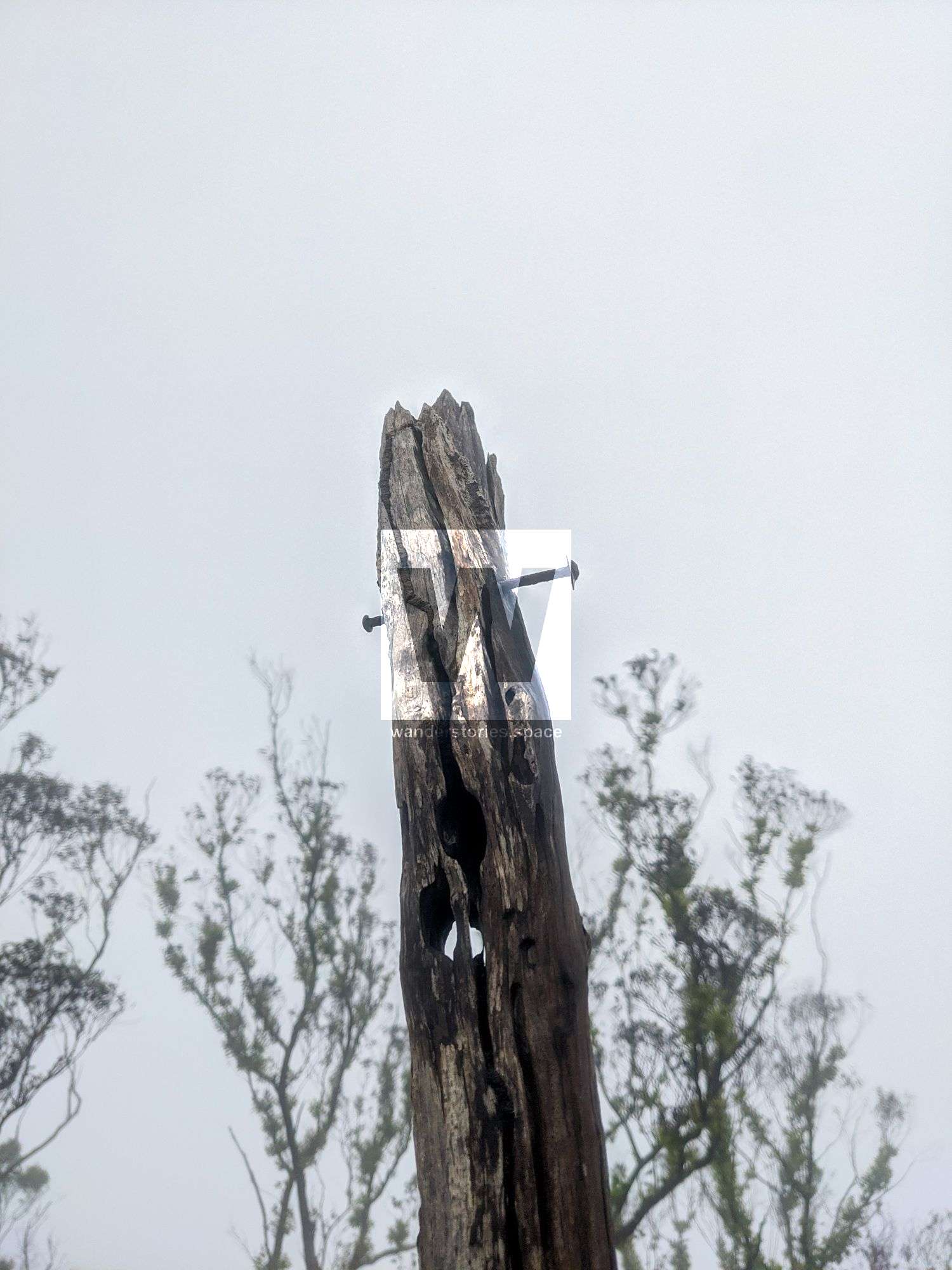
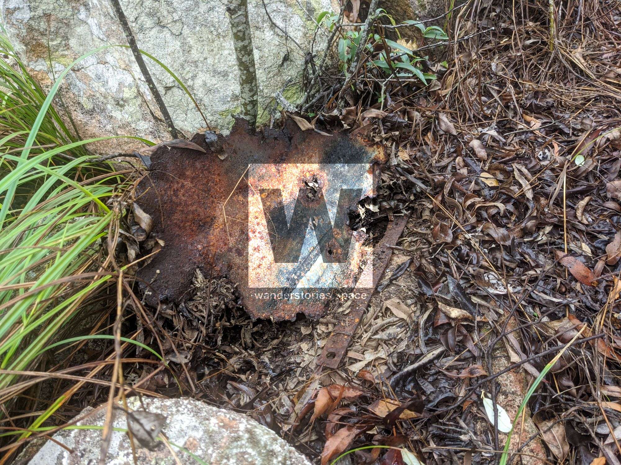
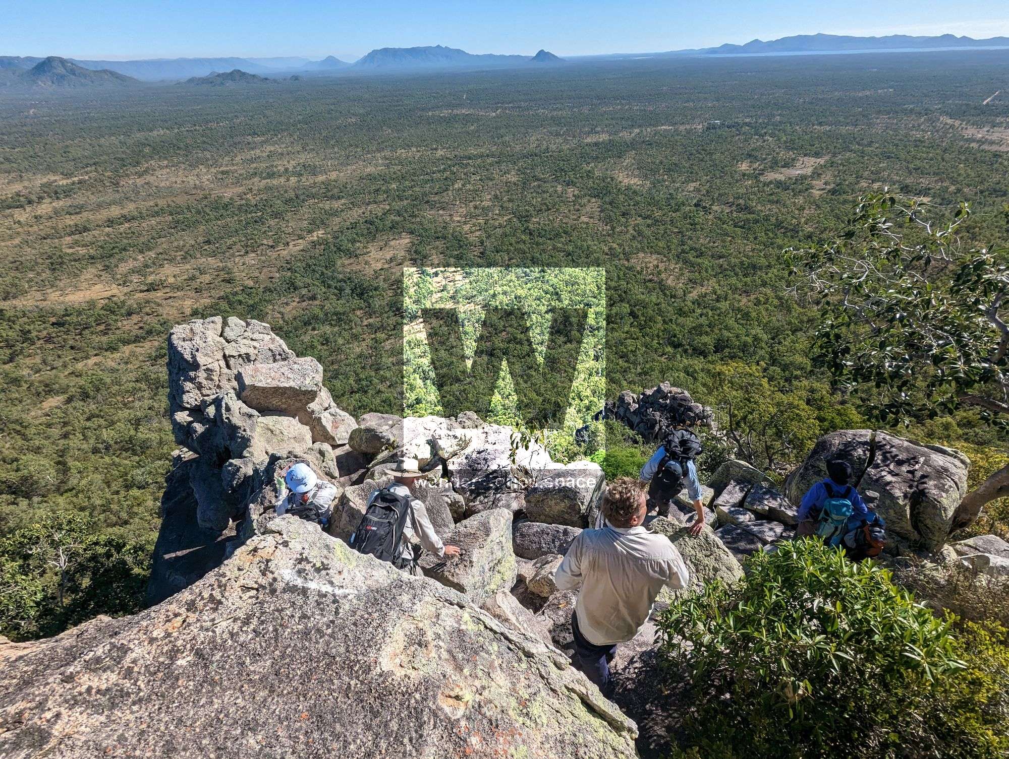
Continue onto Brown Mountain where you will notice hardwood ironbark trees that have been cut and the remains of an old trig point and rock cairns.

Mount Ellenvale summit
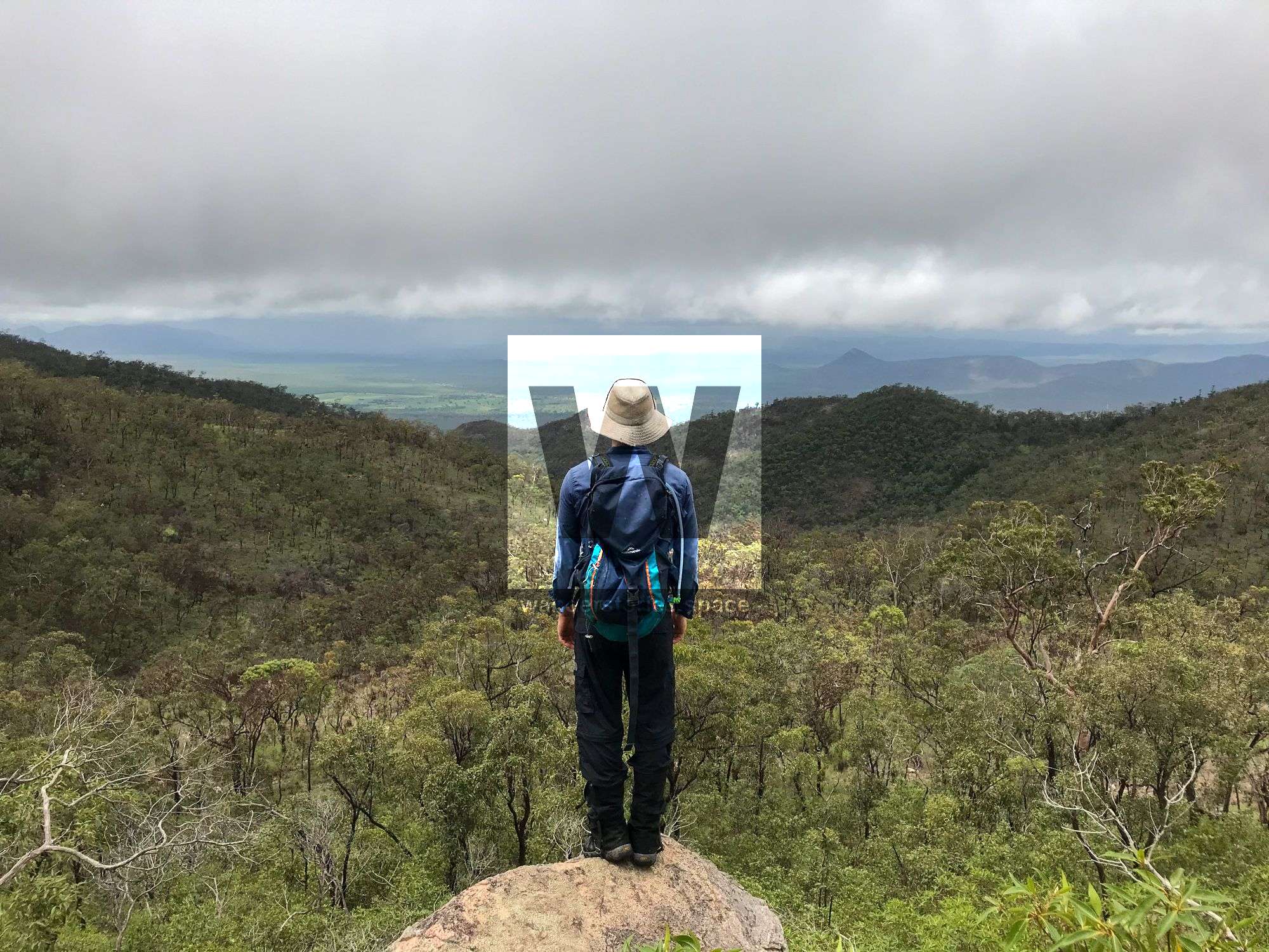
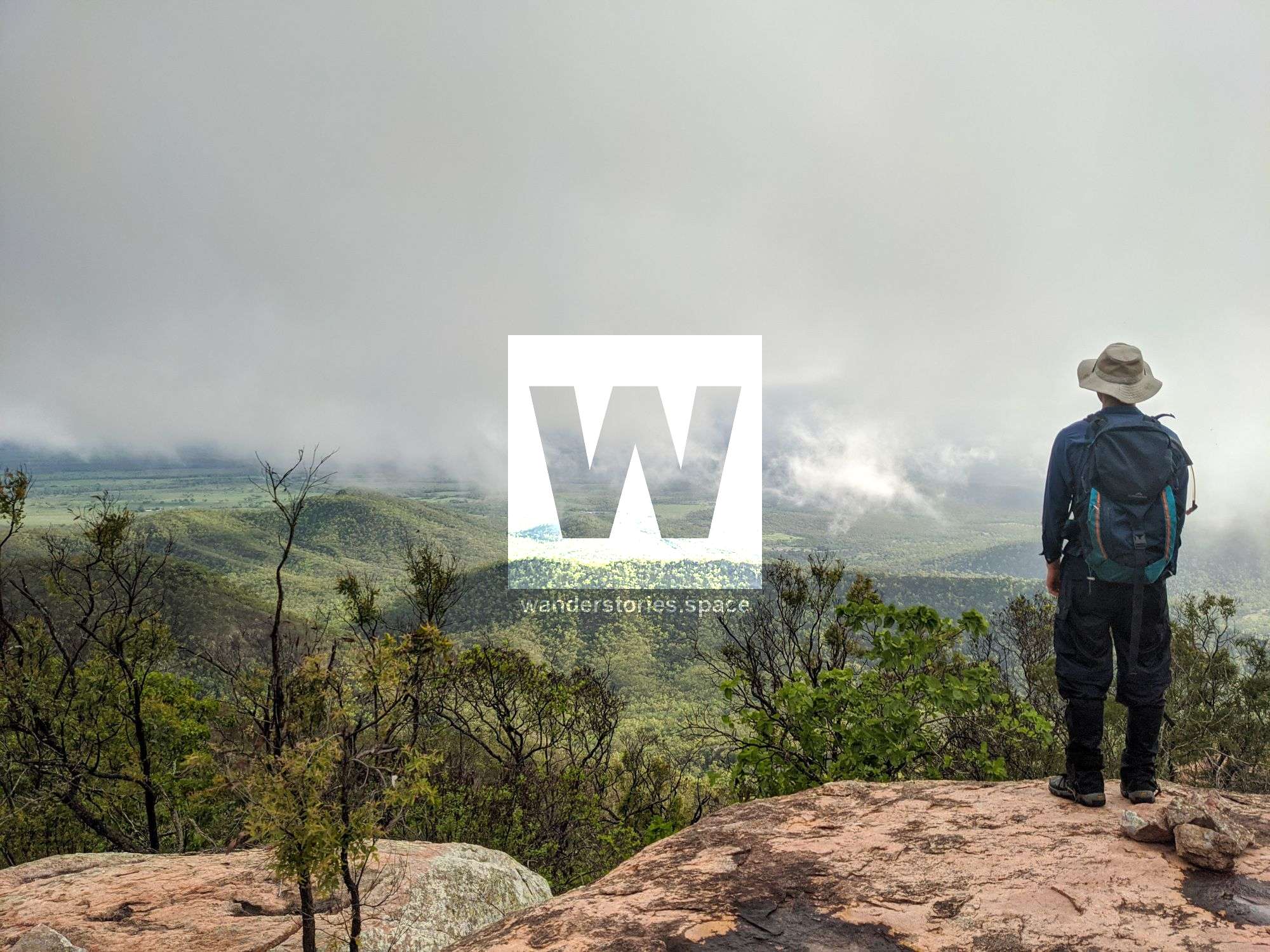
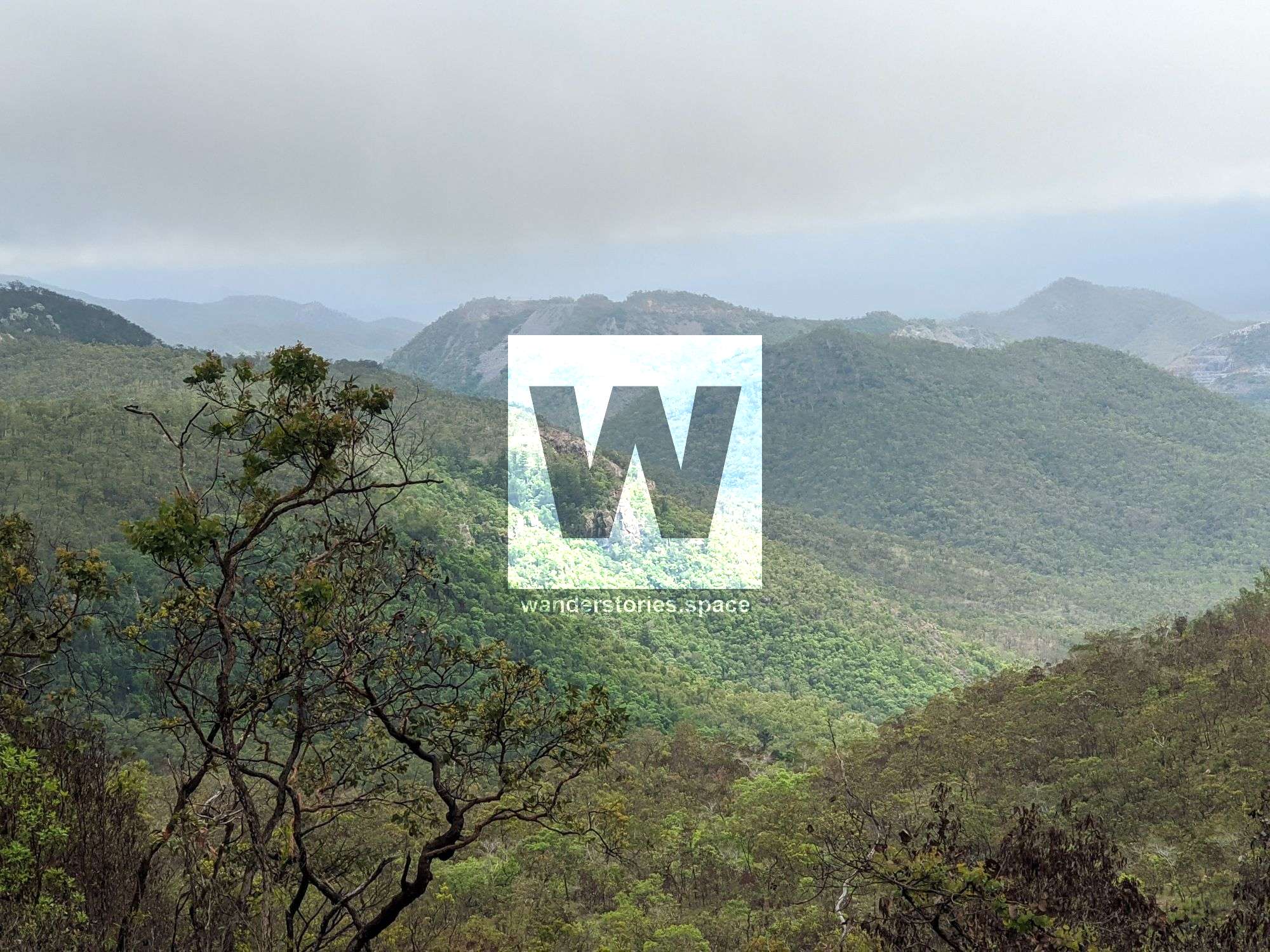
Continue onto via the saddles to gain the ridge of Mount Ellenvale (678 m). You'll notice the hoop pine trees on the western side of the state forest and what appears to be some small Norfolk pines. At the summit of Mount Ellenvale is a massive rock cairn and the old trig point remains. From the summits, you have views to the southwest overlooking Reid River, the Haughton River, adjacent landscape, Mount Sugarloaf (533 m), and the prominent Mount Prince Charlie (393 m).

Return via the same route.
Mt Flagstone
Mt Flagstone is another good mountain on the northernmost part of the State Forest. A circuit looping up and over the mountains is ideal. Starting on the west ridgeline find your way up the rocks and then down the eastern ridgeline. Route on map.
Other points of interest within this State Forest include:
- Lansdowne Creek
- Main Creek
- Six Mile Creek
- Four Mile Creek
- Double Barrel Creek
- Cattle Creek
What to bring
- Min 4 litres recommended
- Appropriate clothing and footwear e.g. gaiters / long pants
- Hat and sunscreen
- Lunch, snacks, and electrolytes
- Camera
- First Aid Kit and PLB
Tips
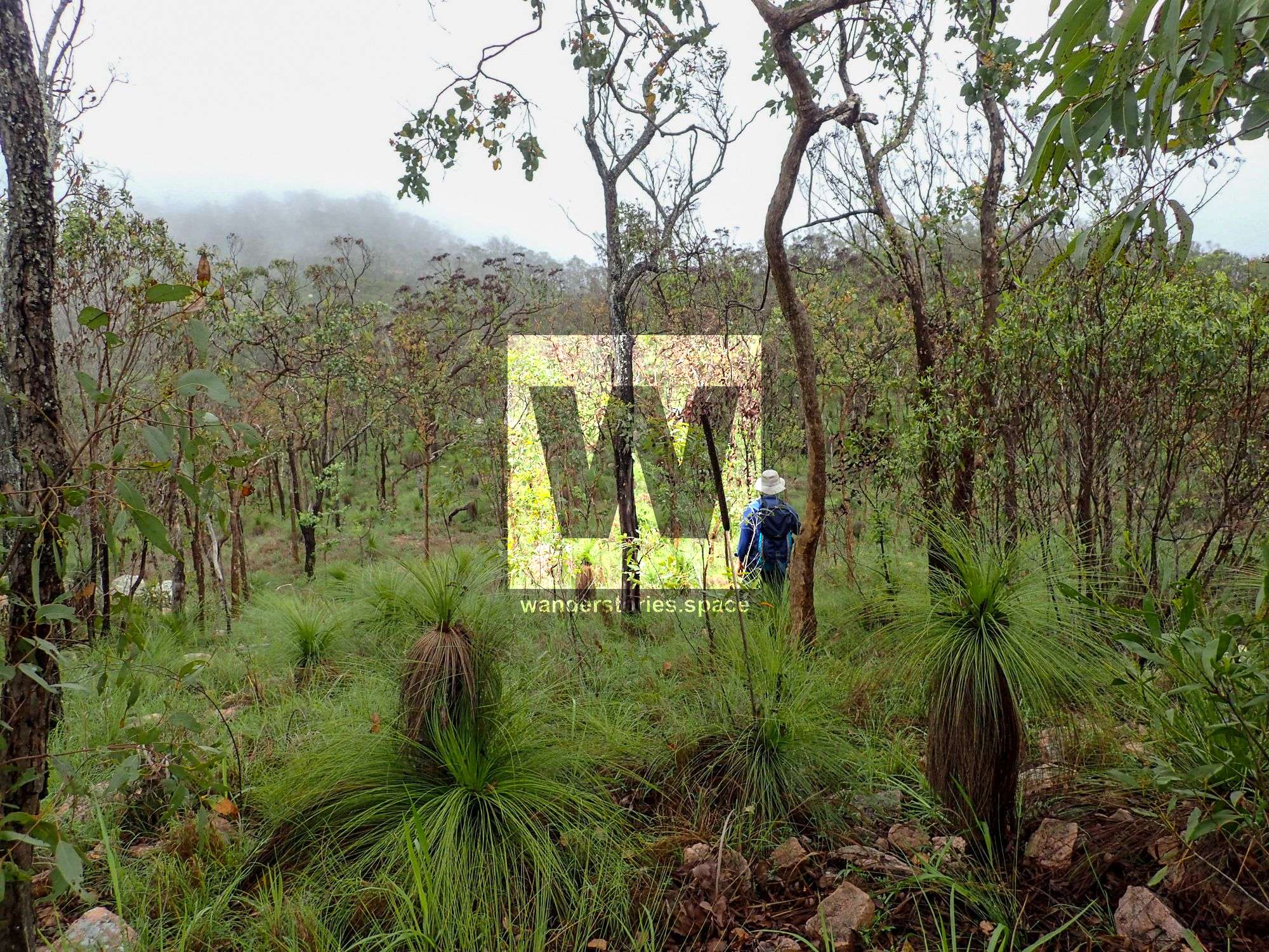
- This area is best hiked in the cooler months. Summer can be extremely hot and humid.
- There's no access to water.
- You can stay at the Reid River rest area for up to 20 hours.
- Near the cliffs, there's also an intermittent stream that has a pretty waterfall after heavy rainfall.
This article, and all other articles, are for entertainment purposes only and are not to be used as a guide. Please see our Disclaimer for more information.