Mount Westminster Abbey
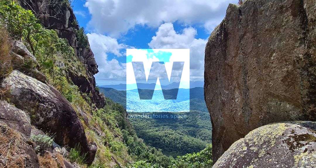
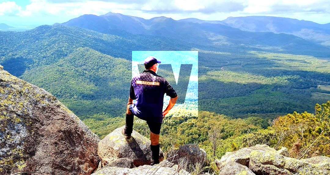
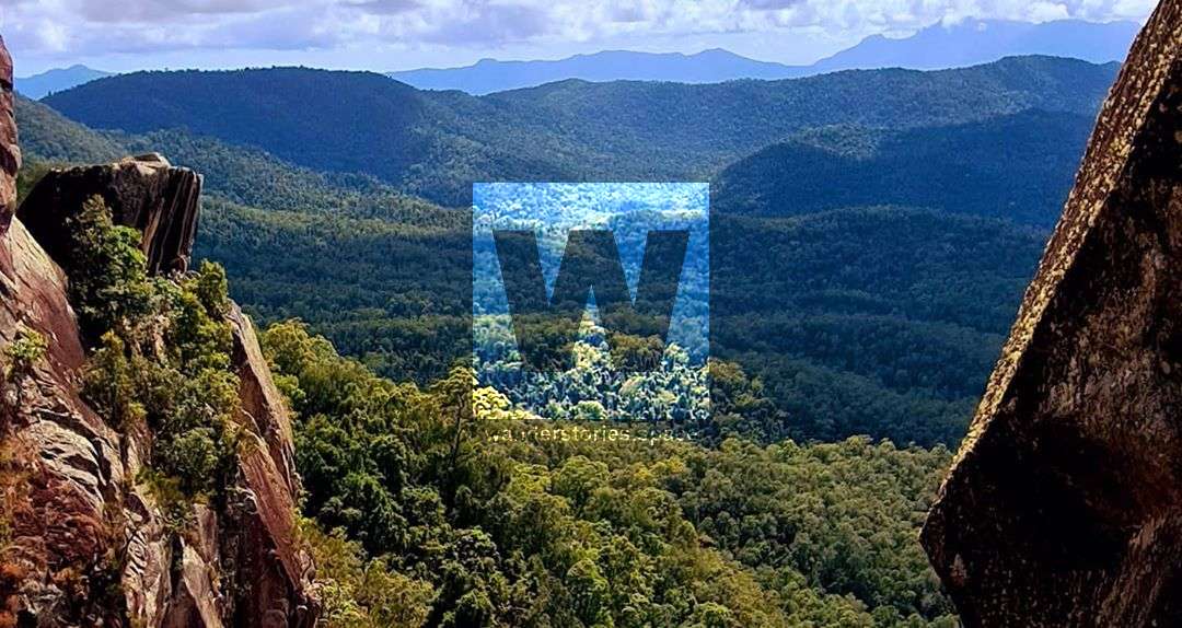
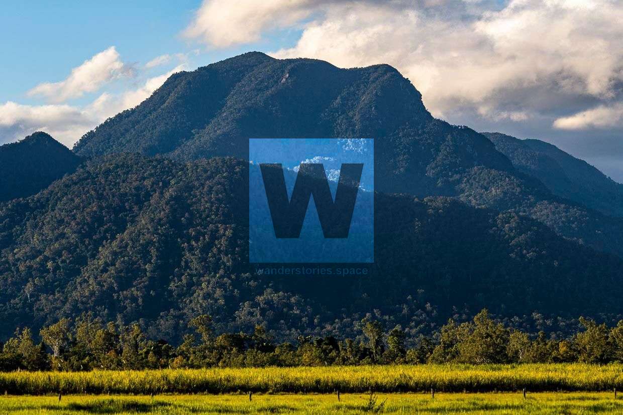
Mount Westminster Abbey rises 926 metres above sea level in the Broadwater area. A large cliff at the top provides views across views of Hinchinbrook Island, Hinchinbrook Channel, and Dalrymple Gap.

Location - Girringun National Park, North Queensland, Australia
Grade - Grade 5, difficult, for experienced bushwalkers
Distance - Depends on route taken
Time - Allow 7-12 hours return
Mount Westminster Abbey rises 926 metres above sea level along the Rockingham Bay Range in the Broadwater area, near Ingham. The area is known for the stinging trees, a bit of wait-awhile, nice fan palms, lush ferns, and great views at the summit. A large cliffline provides views across views of Hinchinbrook Island, Hinchinbrook Channel, and Dalrymple Gap.