Bluegum Track, including Triple Falls, Mine Creek Falls, and the old wolfram mines
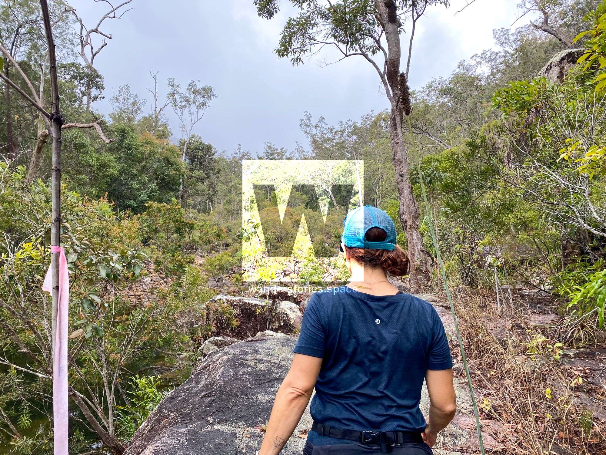
This track is on the south side of Paluma village and is an easy day walk that takes you on a loop down into Star Valley. It takes only one hour from the 'H-Track' to get to what is locally known as Triple Falls. Enjoy the waterfalls and maybe even a refreshing swim before continuing on the circuit.


Location - Paluma Range National Park, North Queensland, Australia
Grade - 4, steep in places and uneven underfoot
Distance - ~11 km loop
Time - approximately 5 hours
The Bluegum Creek Circuit, sometimes written as Blue Gum Creek, is on the south side of Paluma Village and is an easy day walk that takes you on a loop down into Star Valley and along the Bluegum Creek. This circuit is well-known because it harbours Triple Falls, which is not only easy to get to, when compared to other waterfalls of its caliber, but also quite stunning!
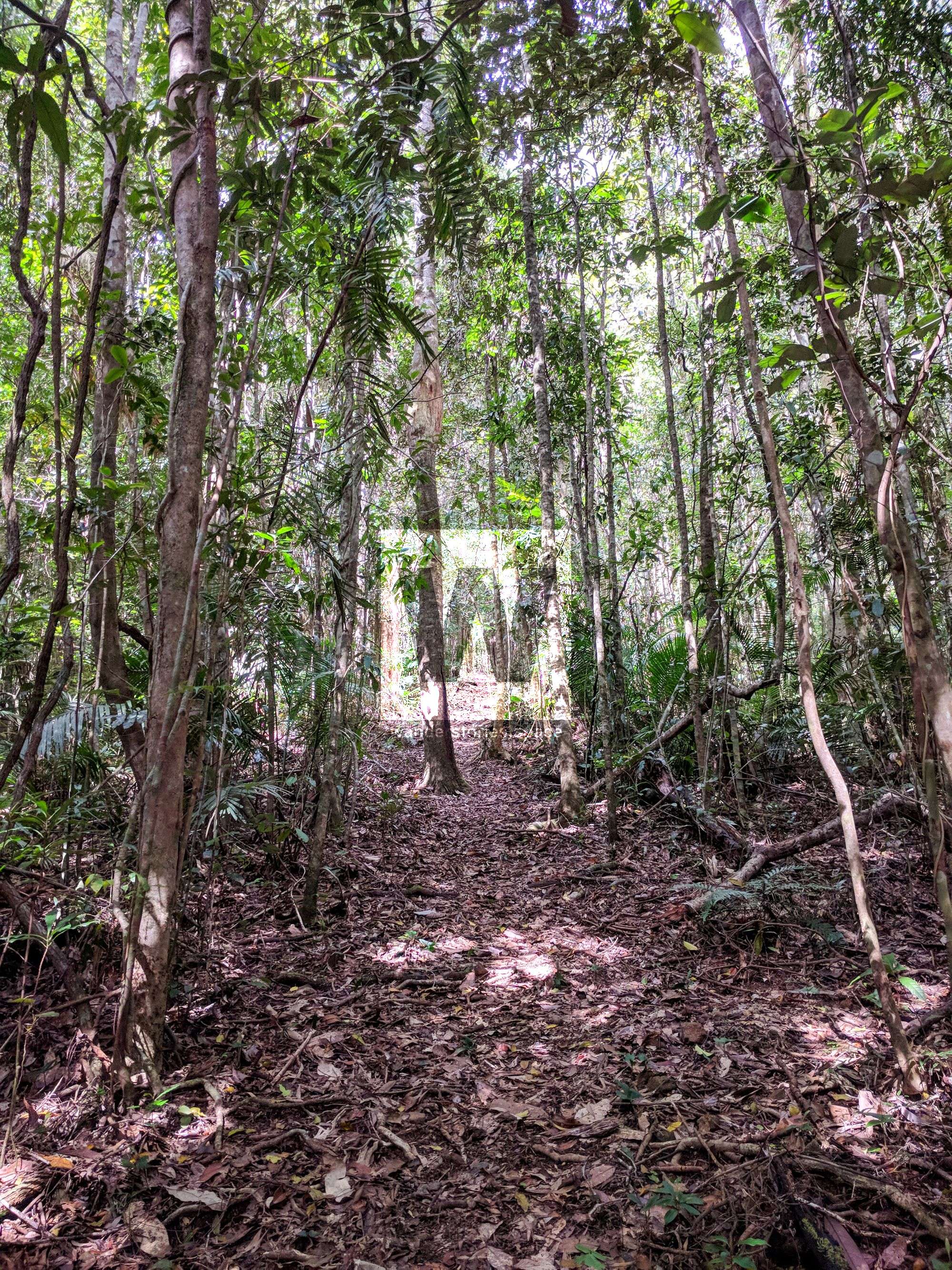
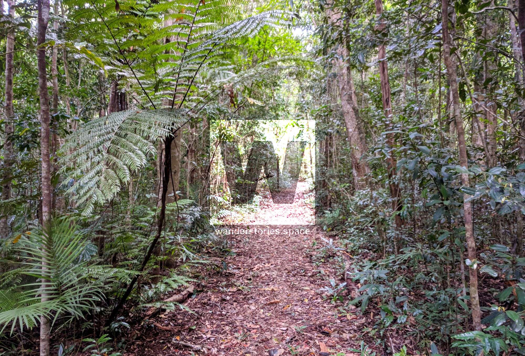
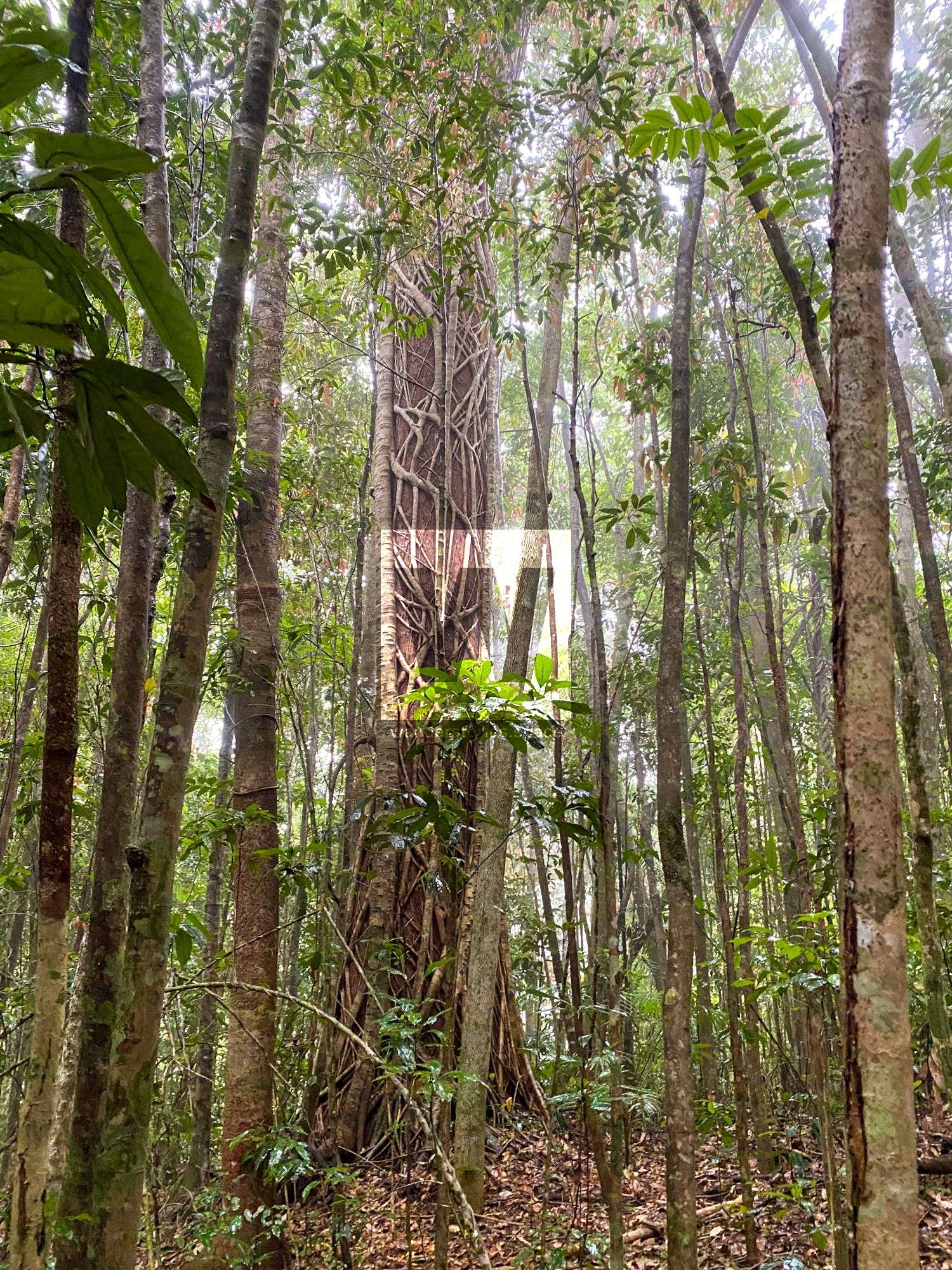
From the H-Track, only about an hour is required to get to Triple Falls. Here, you can not only enjoy the serenity and beauty of the falls, but, if you're hot and sweaty, take an opportunity here for a swim as well! The track will take you through a variety of vegetation including the namesake bluegum forest and ecotone areas. You will find yourself starting in rainforest, encountering plenty of she-oaks, and then experiencing all that the creeks have to offer, including bottle brushes.
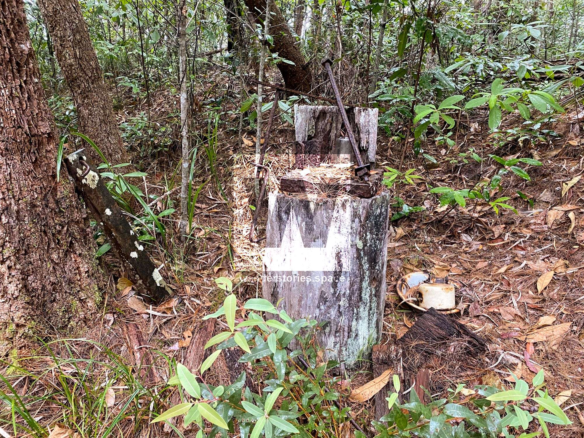
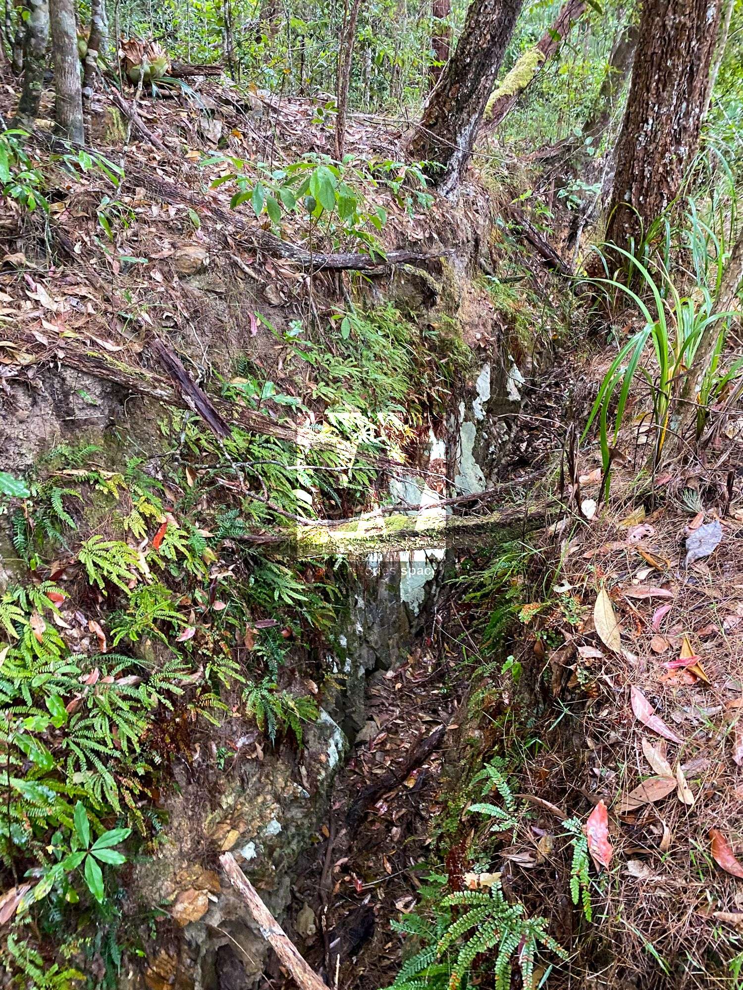
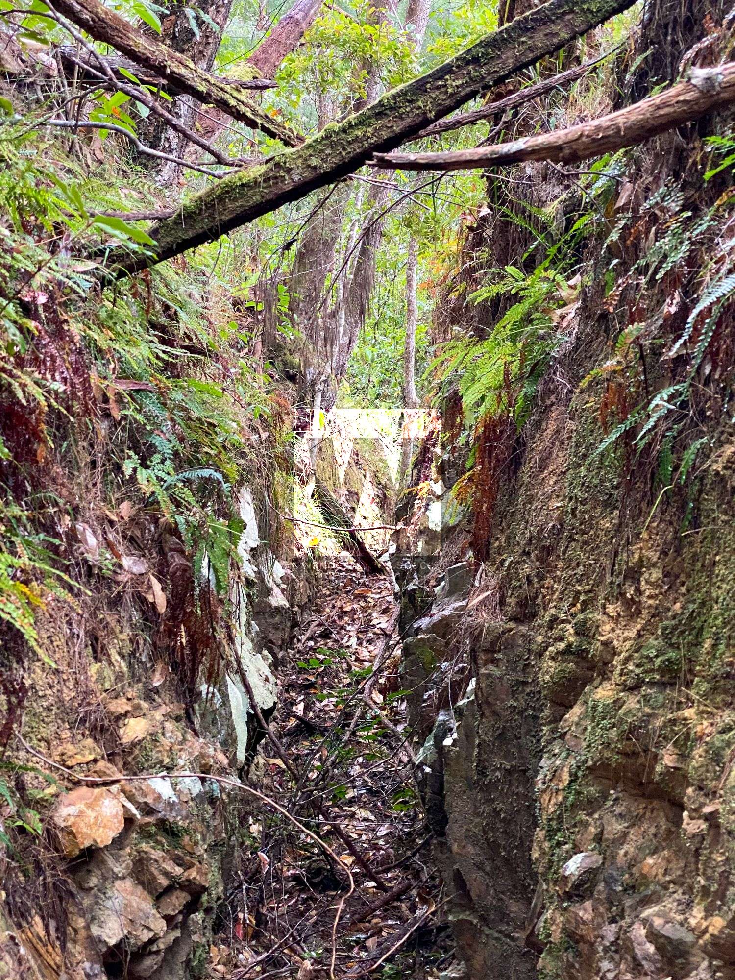
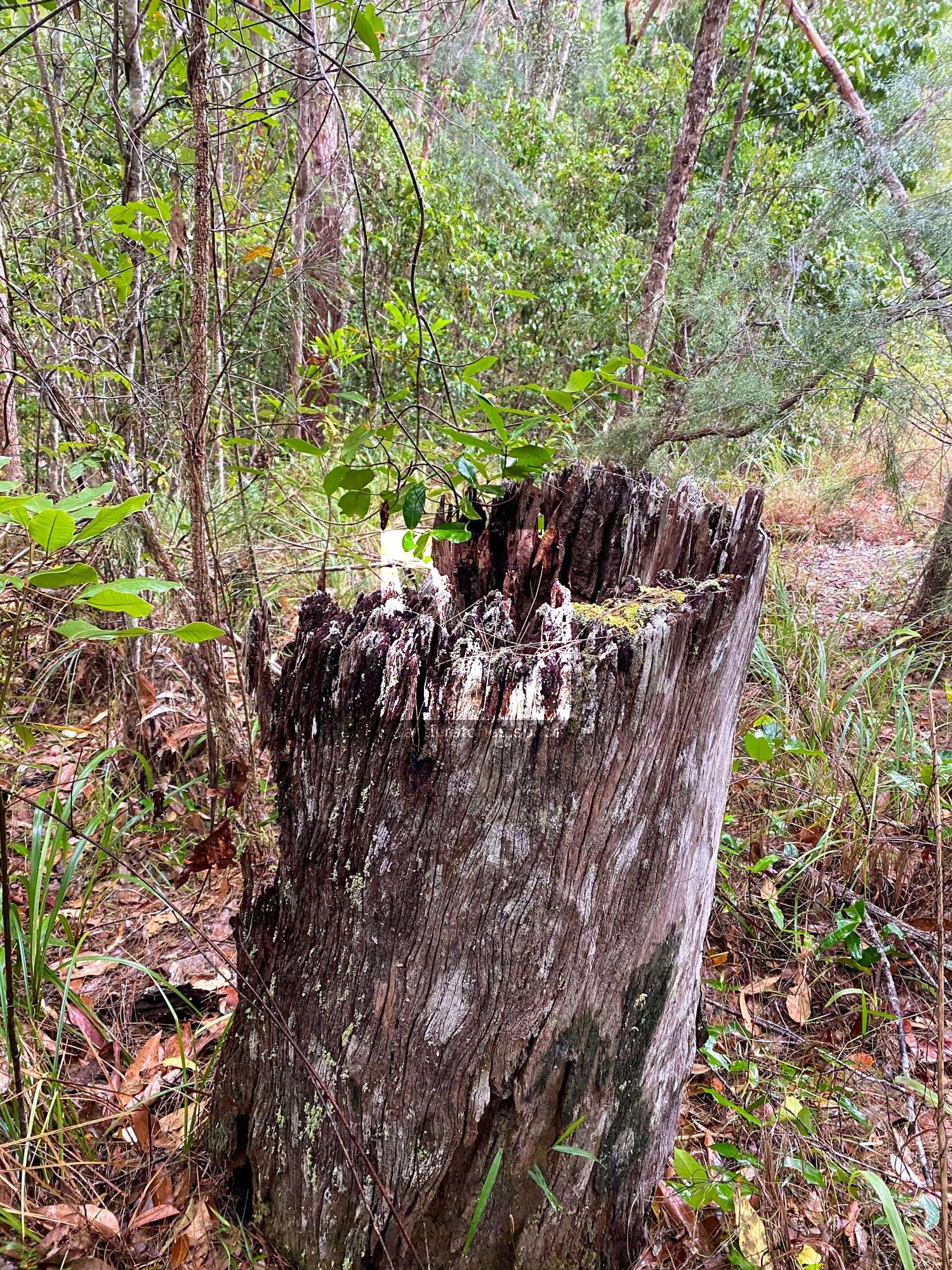
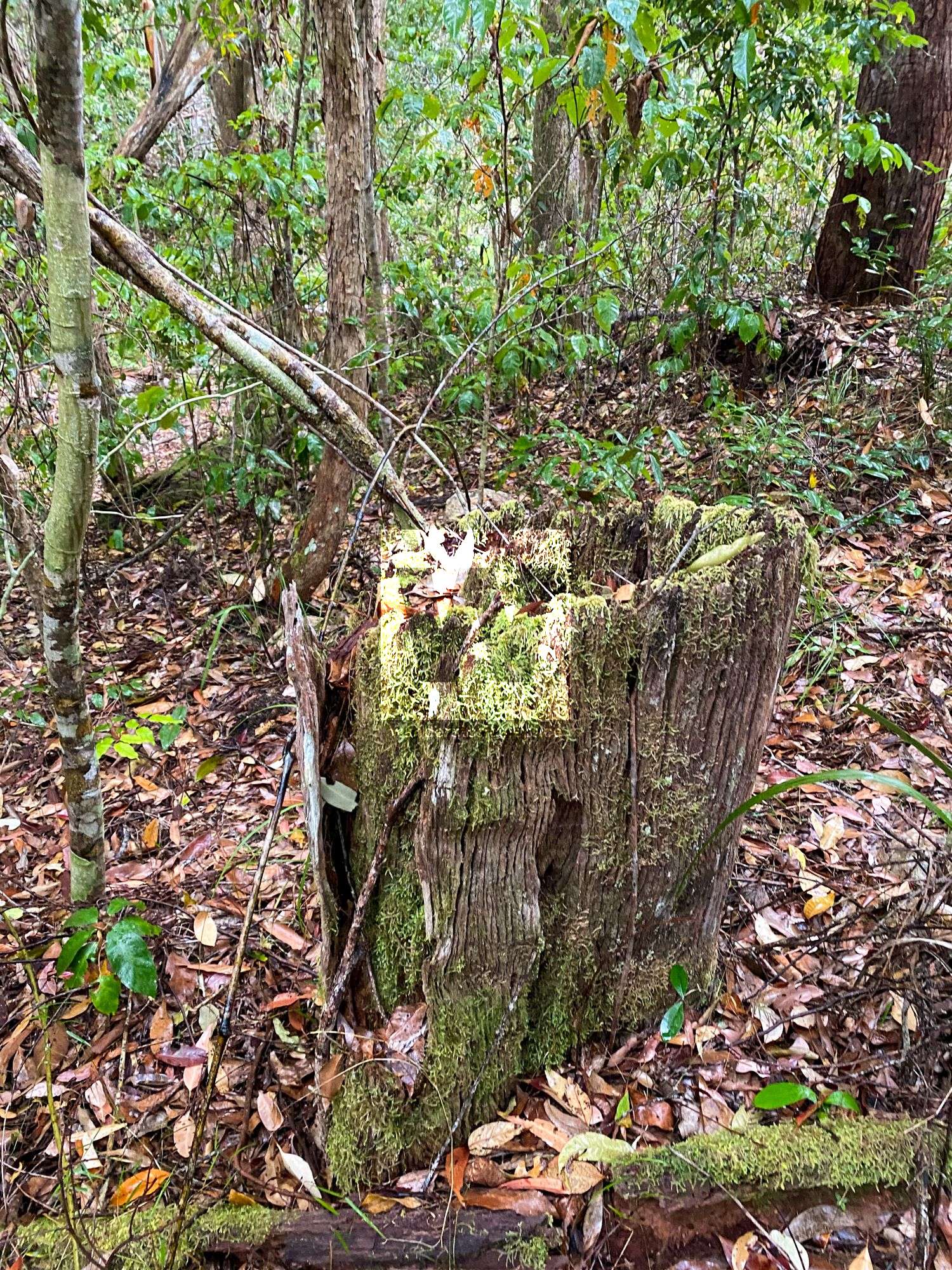
Over the course of this circuit, you will walk past historical tin and wolfram (tungsten) mining sites; take note of the exploratory trenches and water races. See if you can also find an old rock crusher that was made out of a tree stump, grate, and a large metal chuck that was probably used as the hammering ram. This mine was possibly called Hang Flat Mine. If this interests you, check out the old wolfram mines at Wolfram Creek and the old tin mines at Mount Spec while you are in the area.
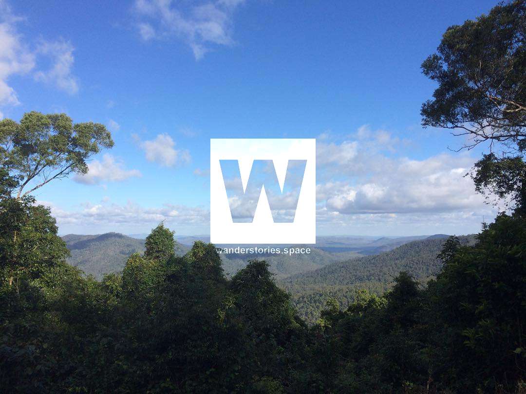
Also, take a moment to check out the Star Valley Lookout while in this area.
Interactive Map
Here's an interactive map of the track:
How to get there
Clockwise or anti-clockwise, the direction you choose for this circuit does not matter. It will be enjoyable regardless.
However, note that the description below is for taking the Bluegum Creek Circuit in the clockwise direction.
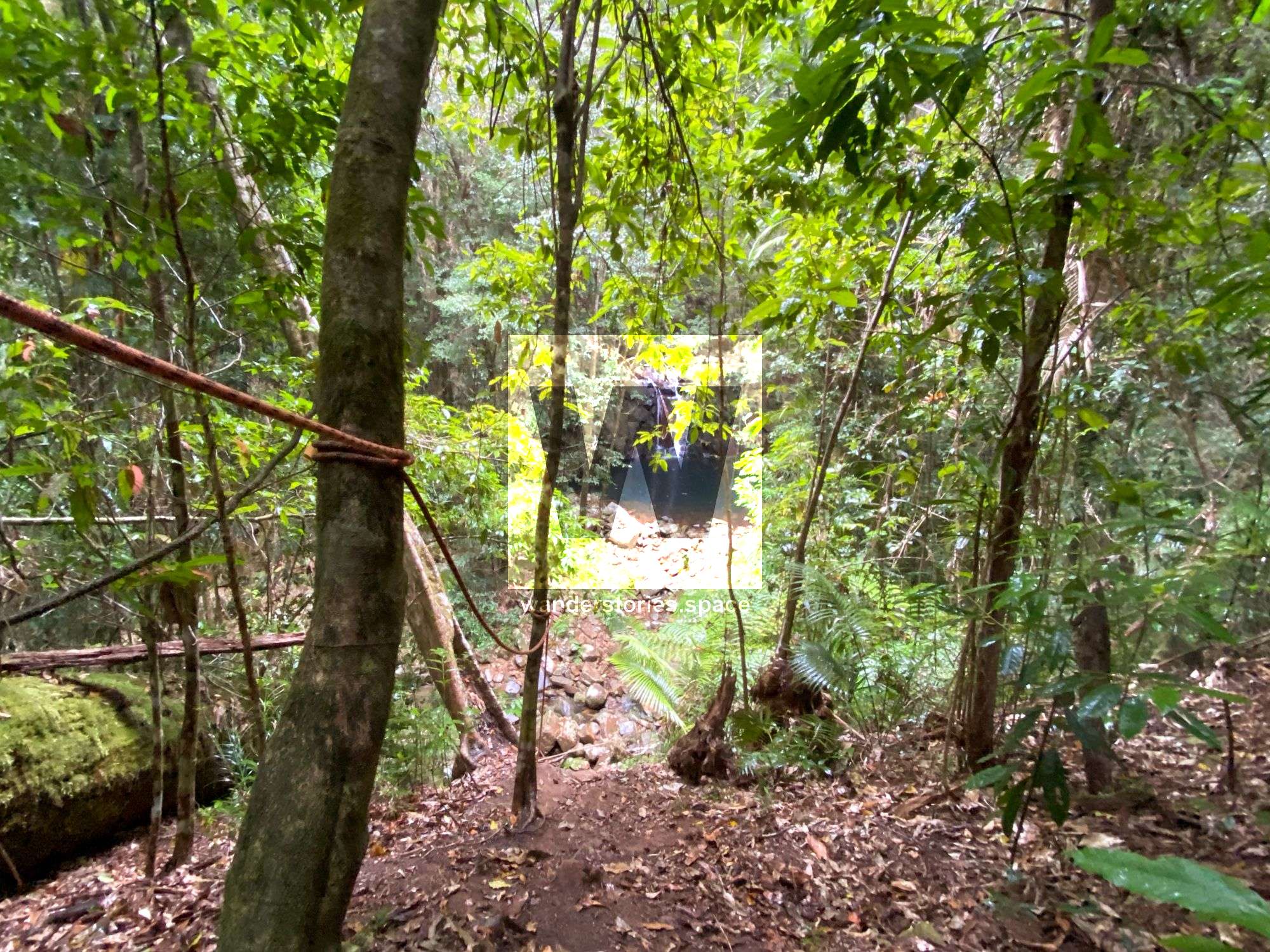
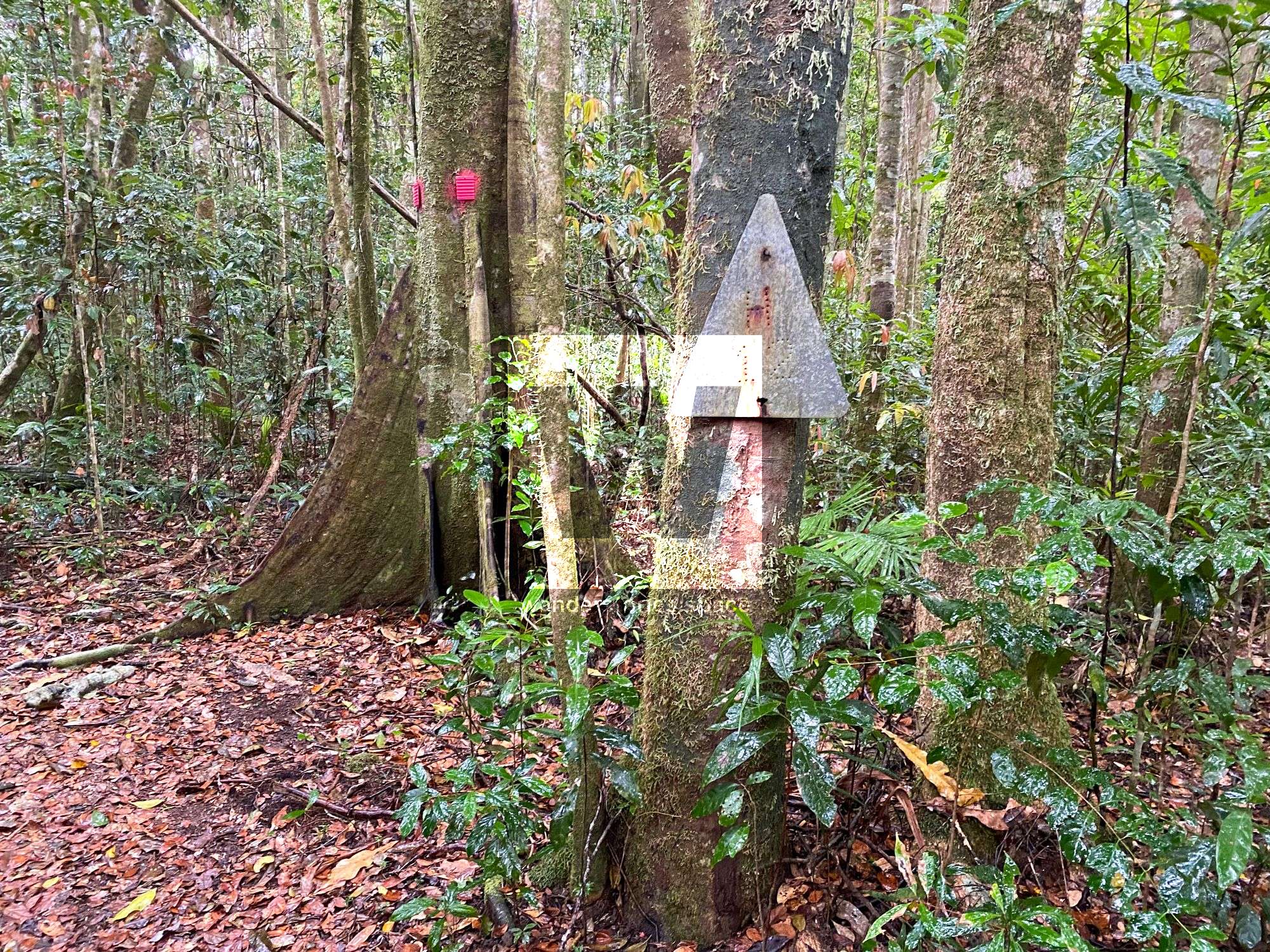
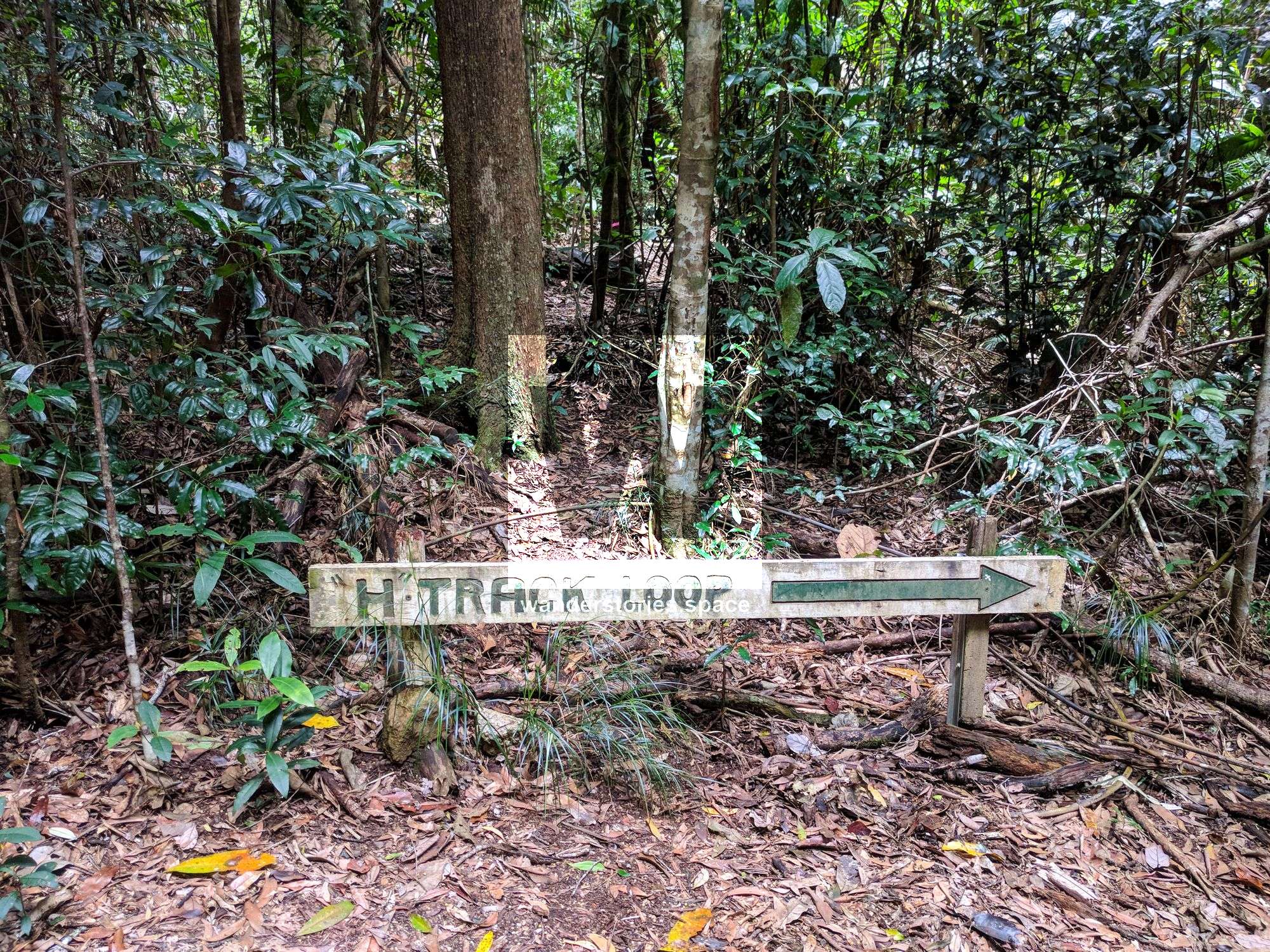
The Bluegum Creek Circuit branches off from the well-known "H-Track Loop". So, starting there, walk along the track until you reach the old "H-Track Loop" sign. The Bluegum Creek Circuit track starts just behind this sign. The track is not marked at this point, but the footpad is clear and well-used. This route is part of the actual old original forestry H-Track that went down the ridge into Bluegum Creek. You may see old forestry track markers along this circuit from time to time.
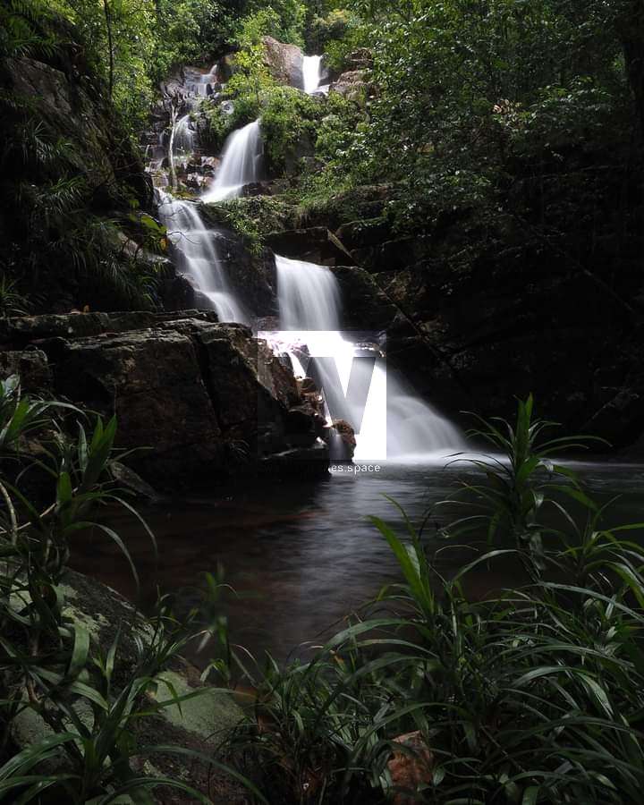
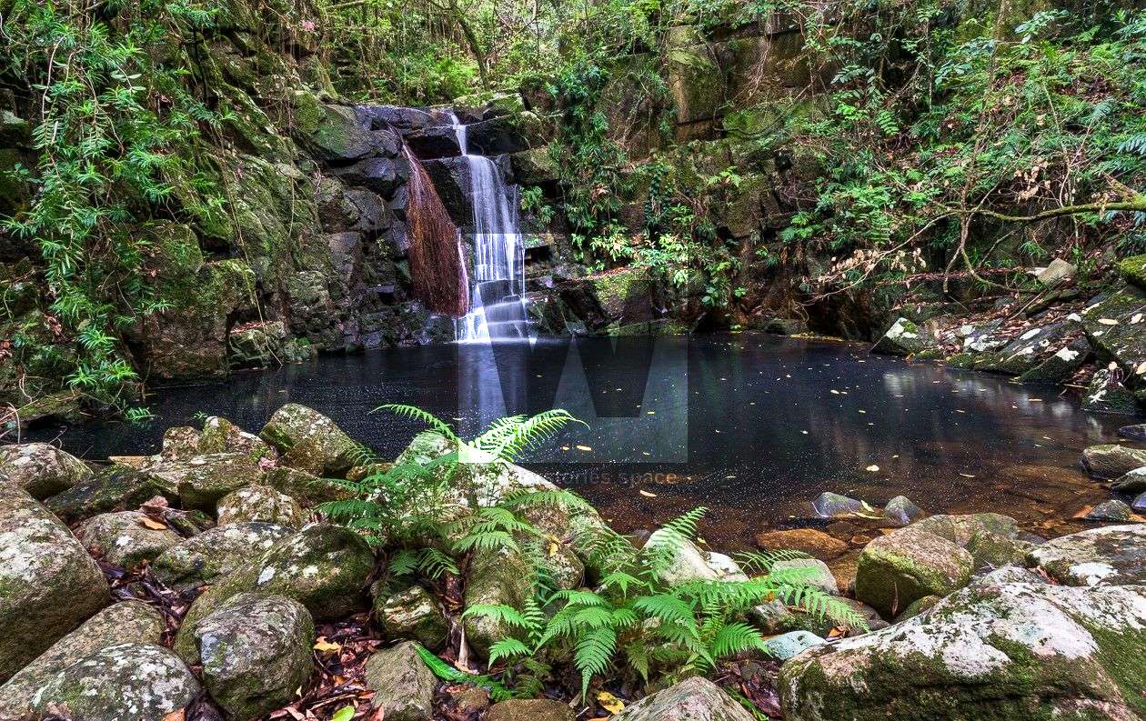
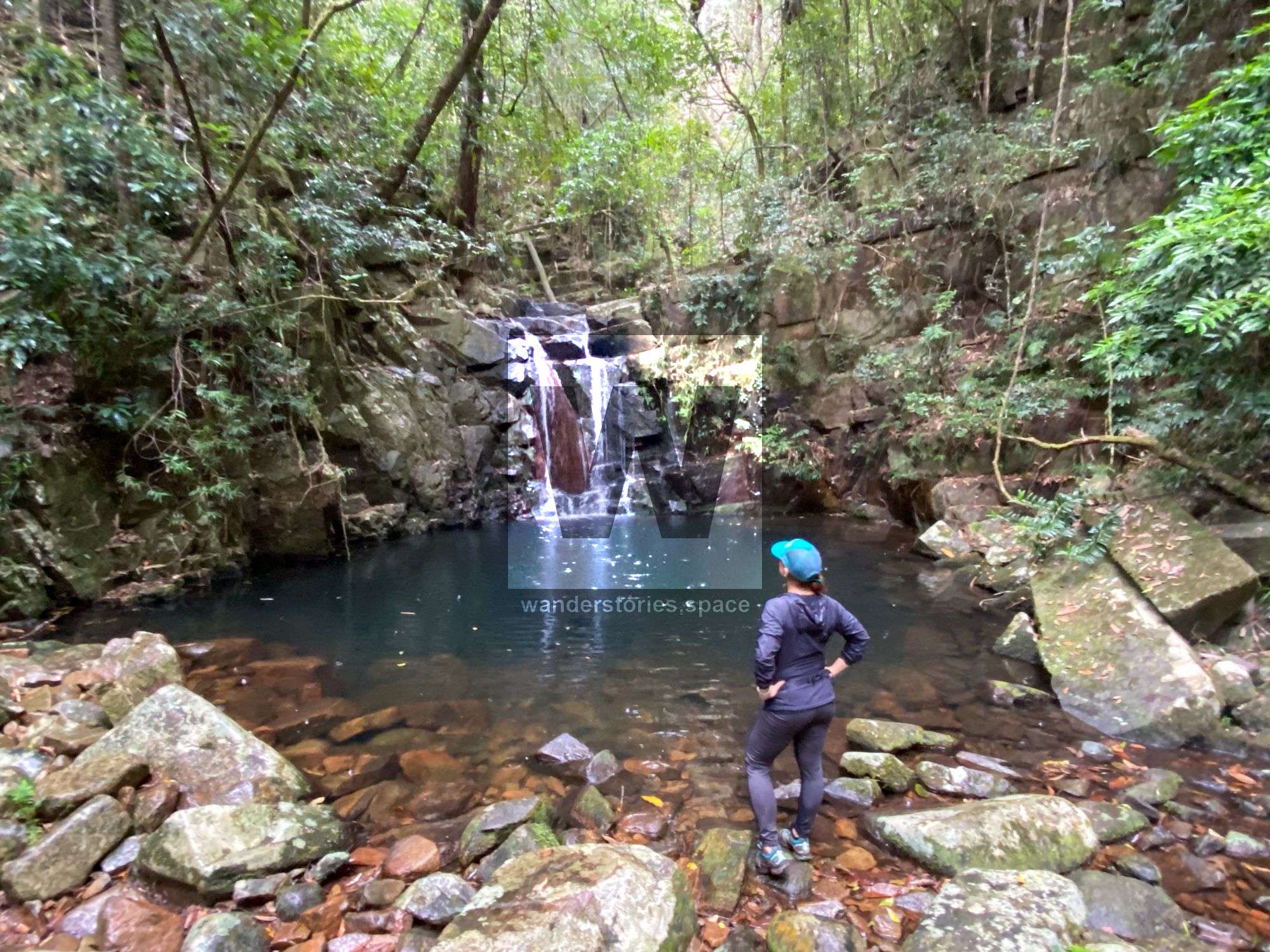
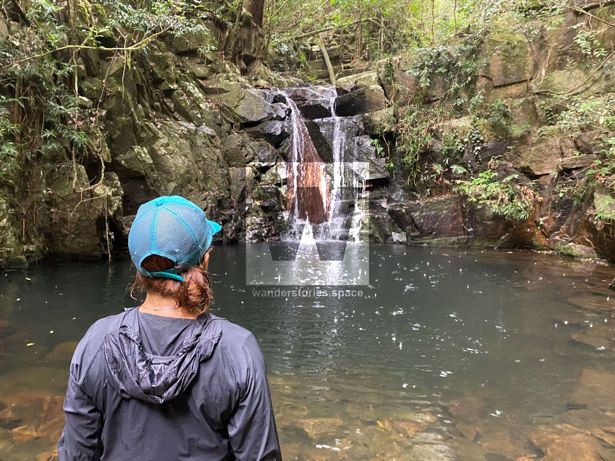
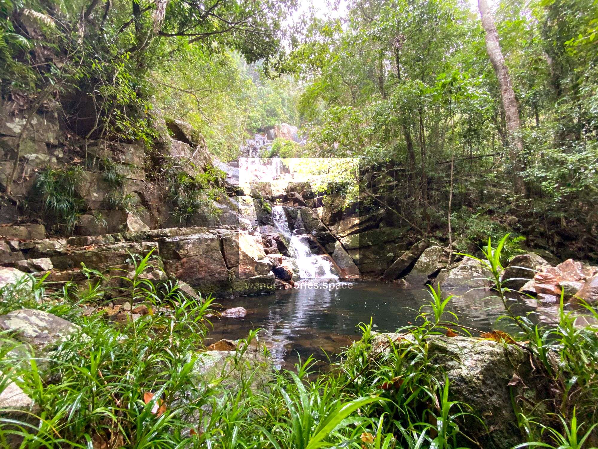
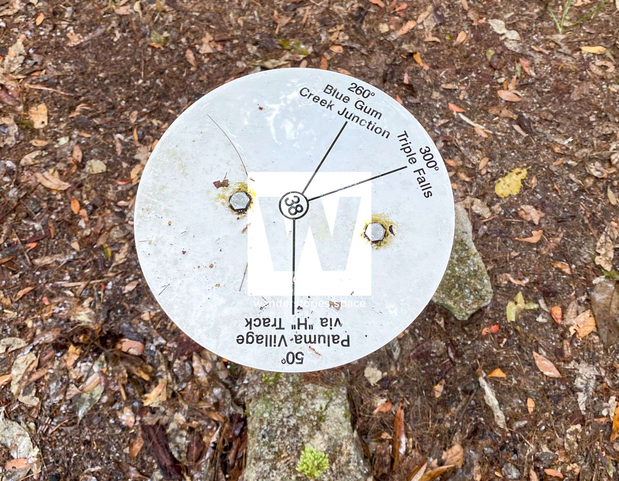
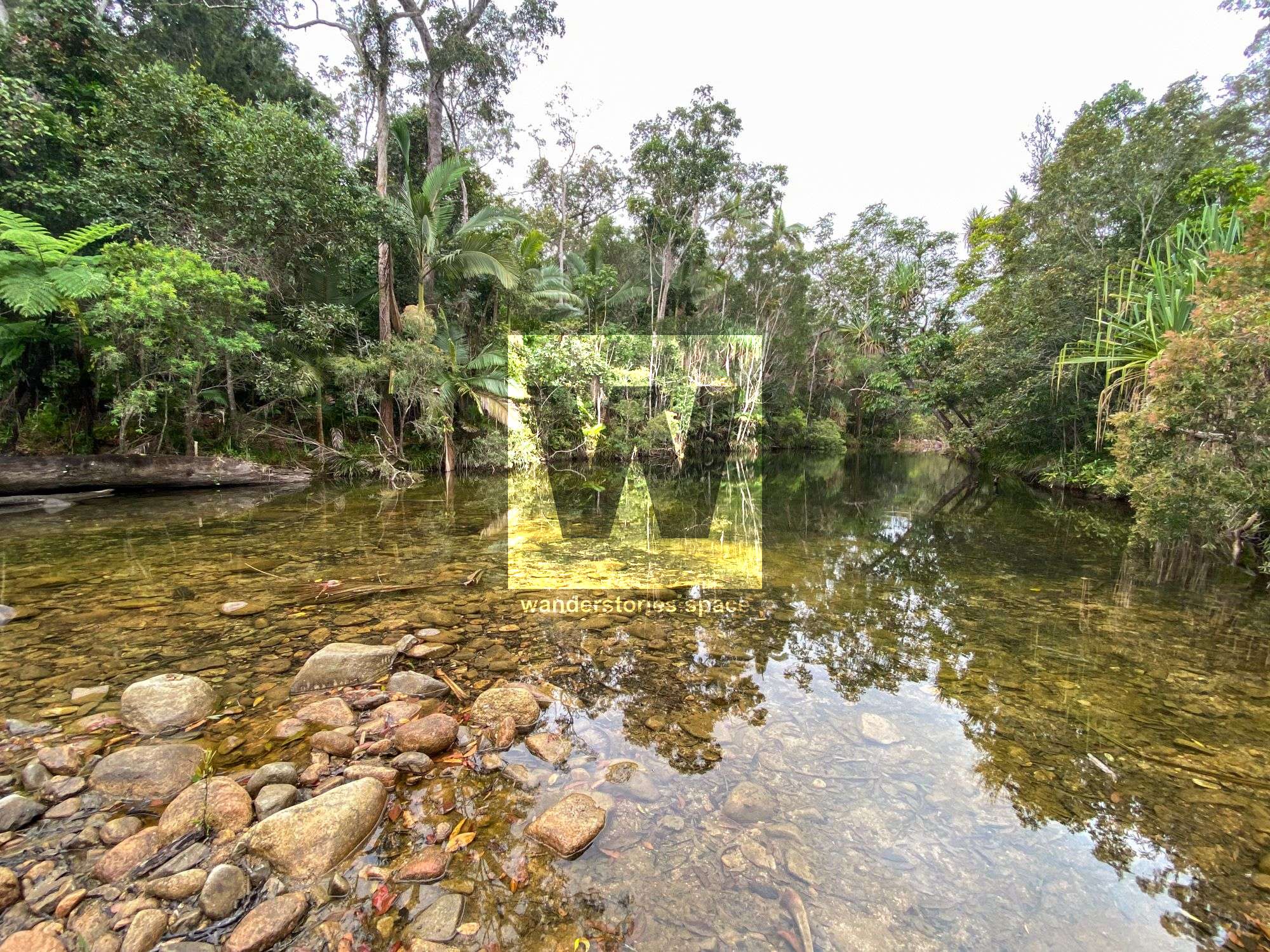
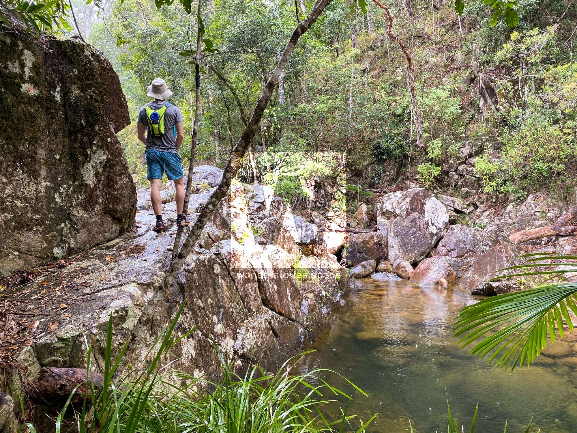
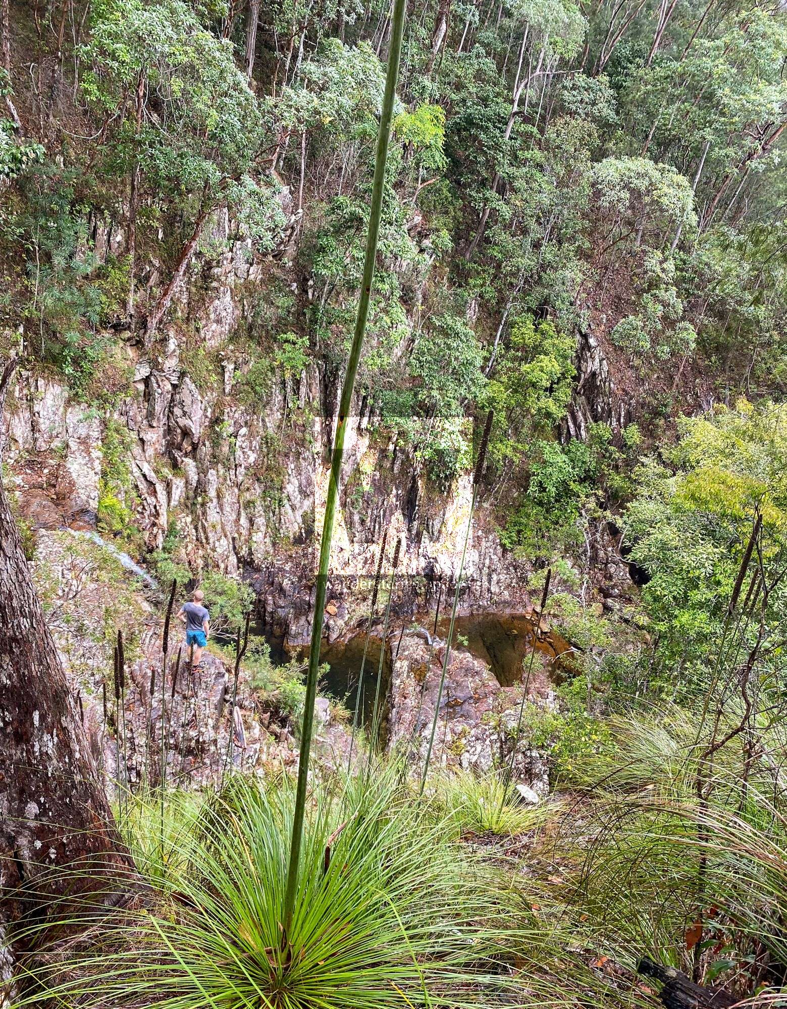
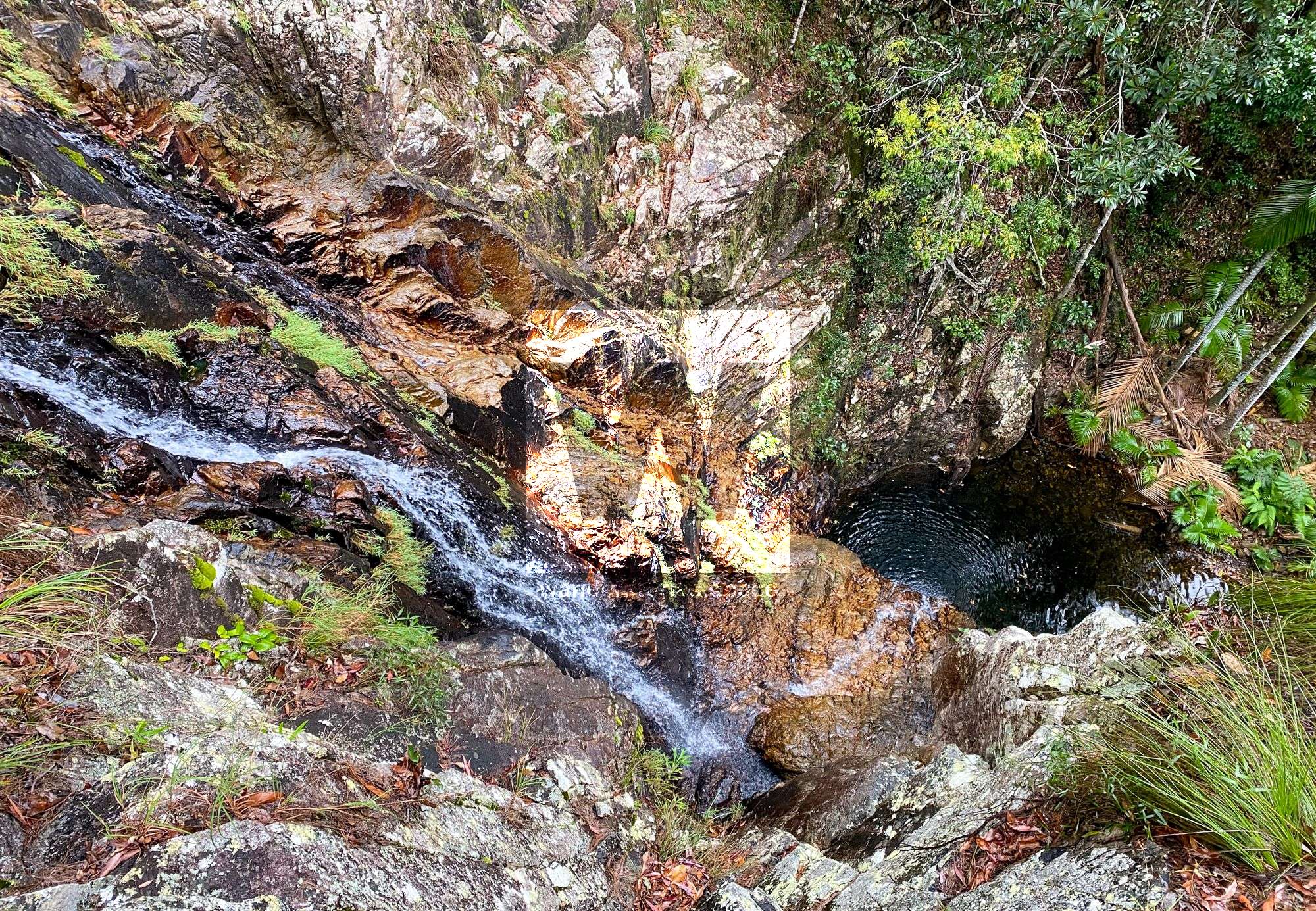
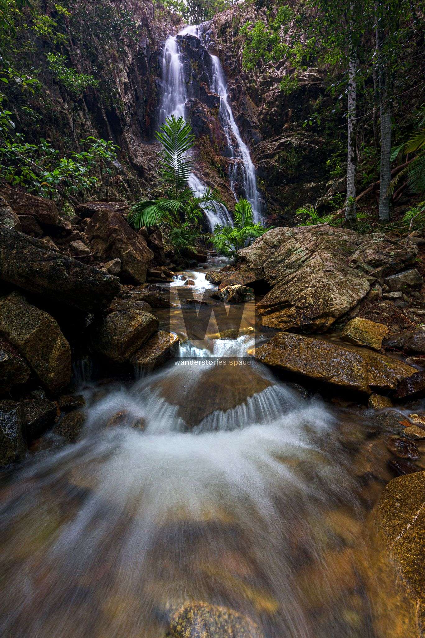
The Bluegum Creek track is easy to follow and level terrain for a while. Then, you will encounter a 400-meter steep descent into the valley. When you reach the metal junction marker, turn right and take the short track down to Triple Falls. This short track is very steep, but a fixed rope is in place to assist you, and it is definitely worth it. Here, you will encounter the pool and the bottom of the falls. To explore the mid and upper parts of Triple Falls, scramble up the left side.
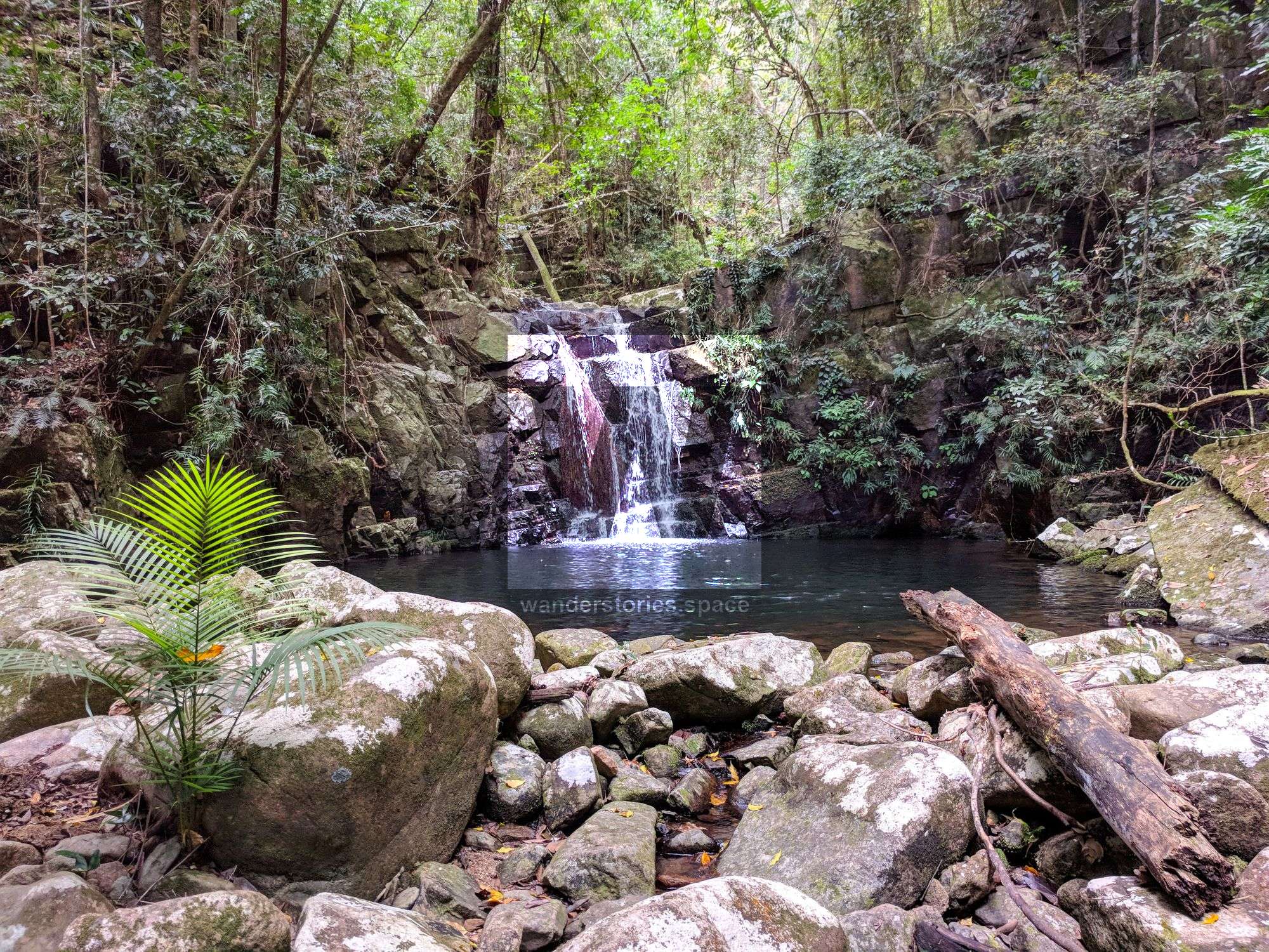
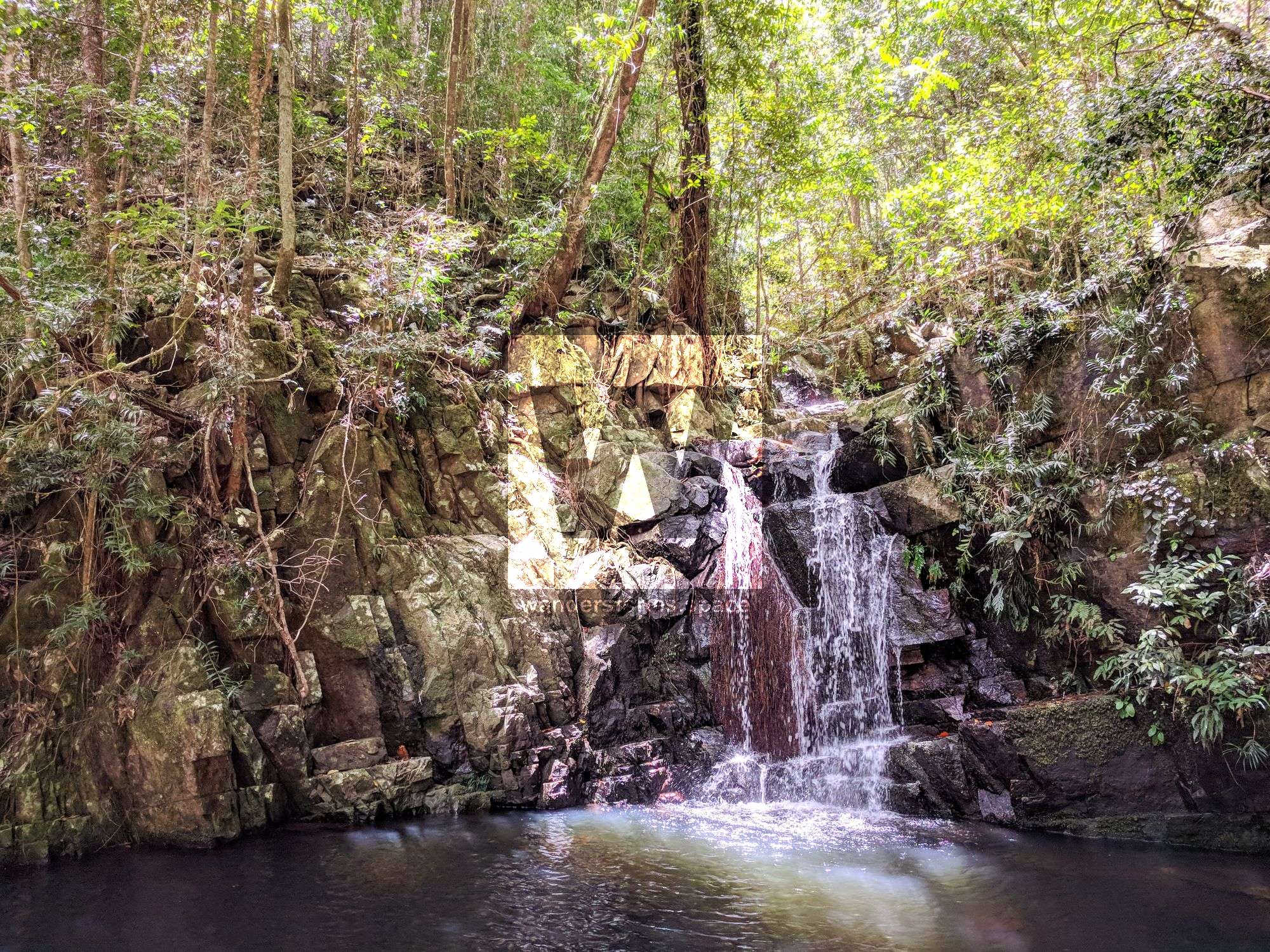
Triple Falls
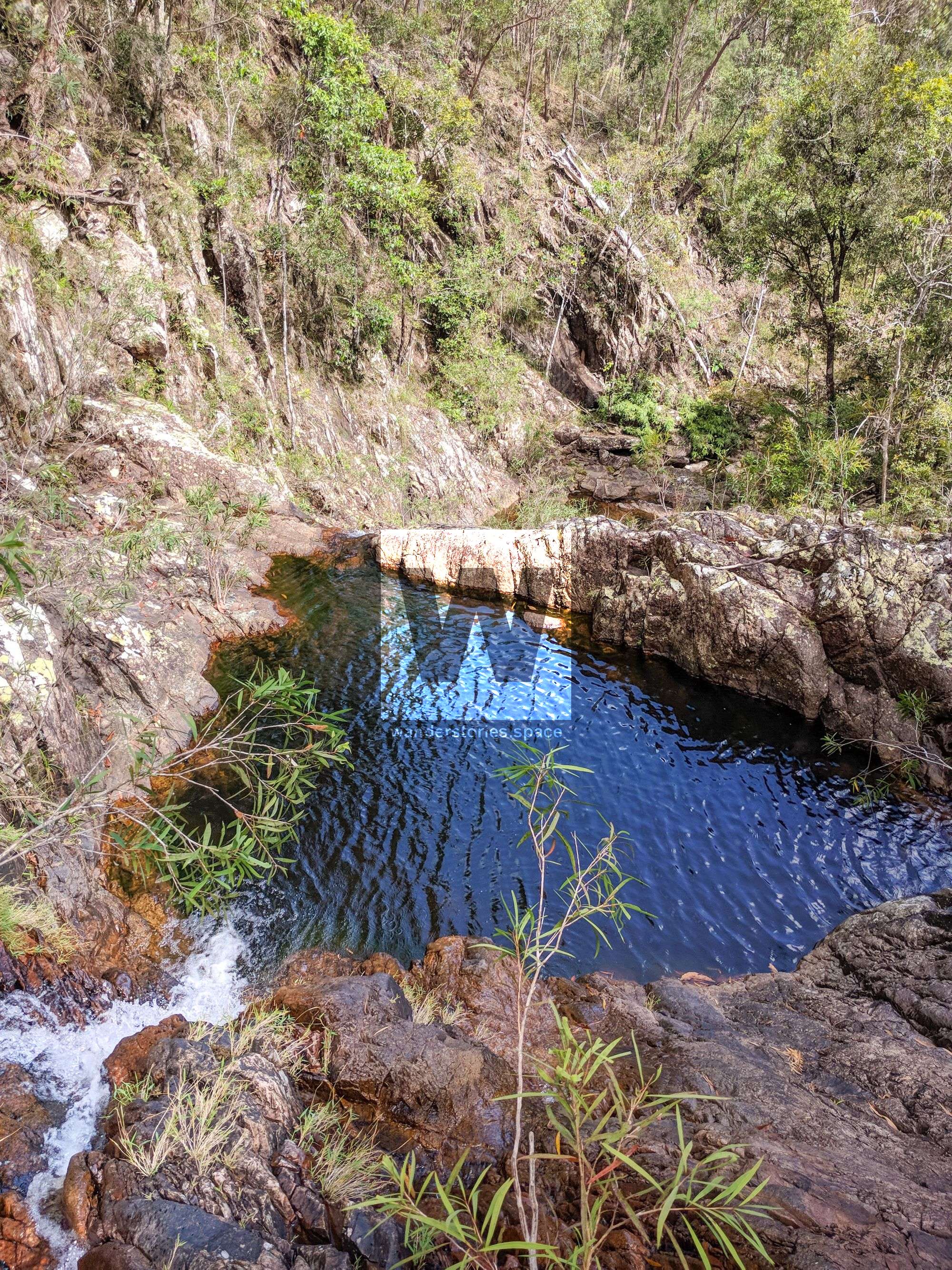
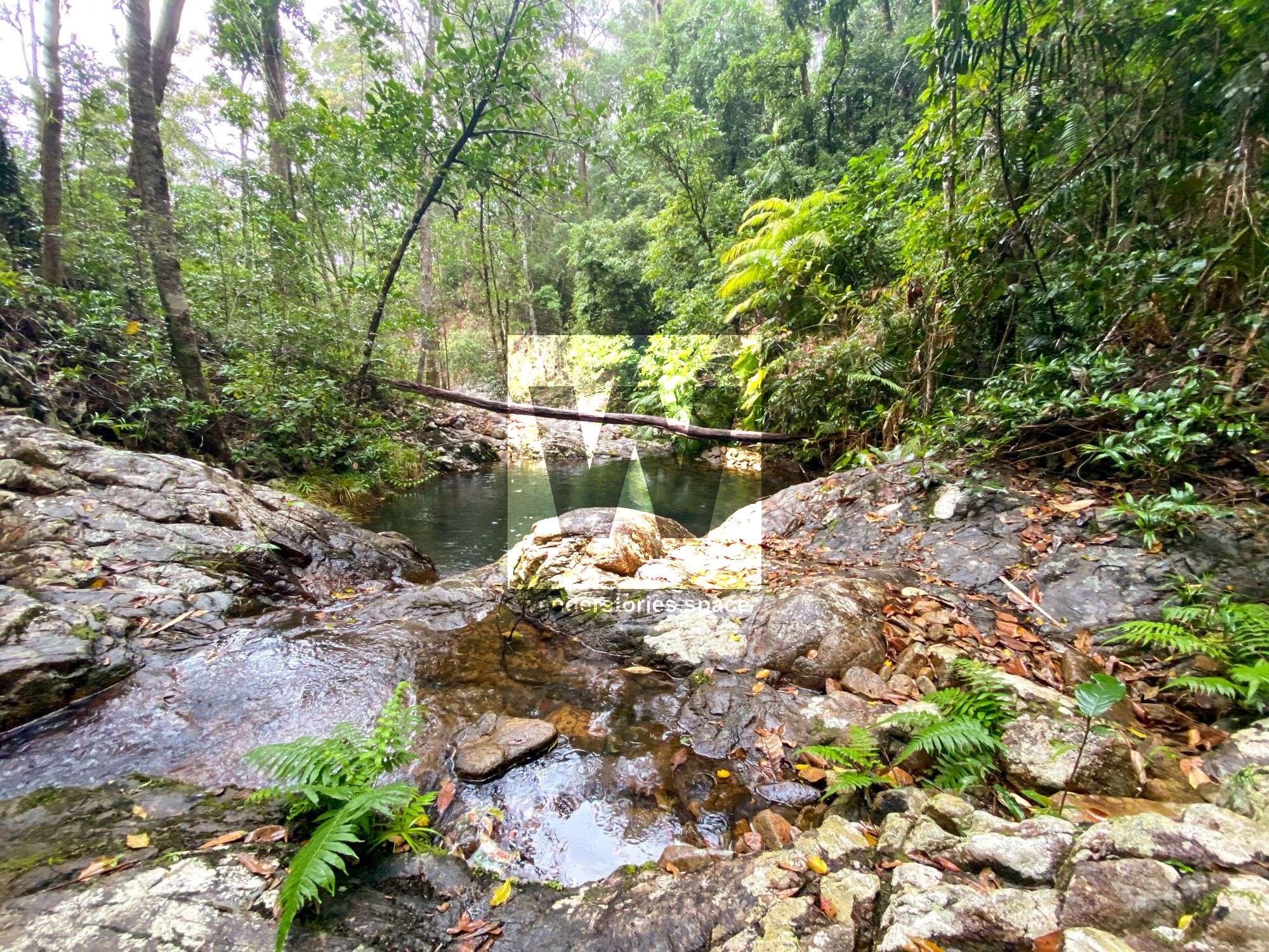
After a swim and perhaps some photographs of these gorgeous falls, descend back down to the base (i.e., if you did scramble up to the other parts of Triple Falls). Return up the fixed rope back to the main track, and continue down the original H-Track to the creek junction. If you continue down Bluegum Creek for another 200 metres, there is a fantastic pool that many agree is also great for swimming and a campsite known as "Lagoon Campsite".
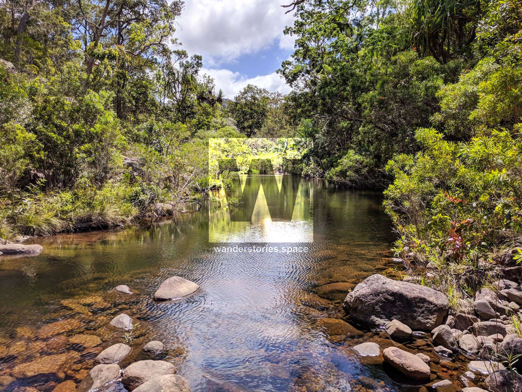
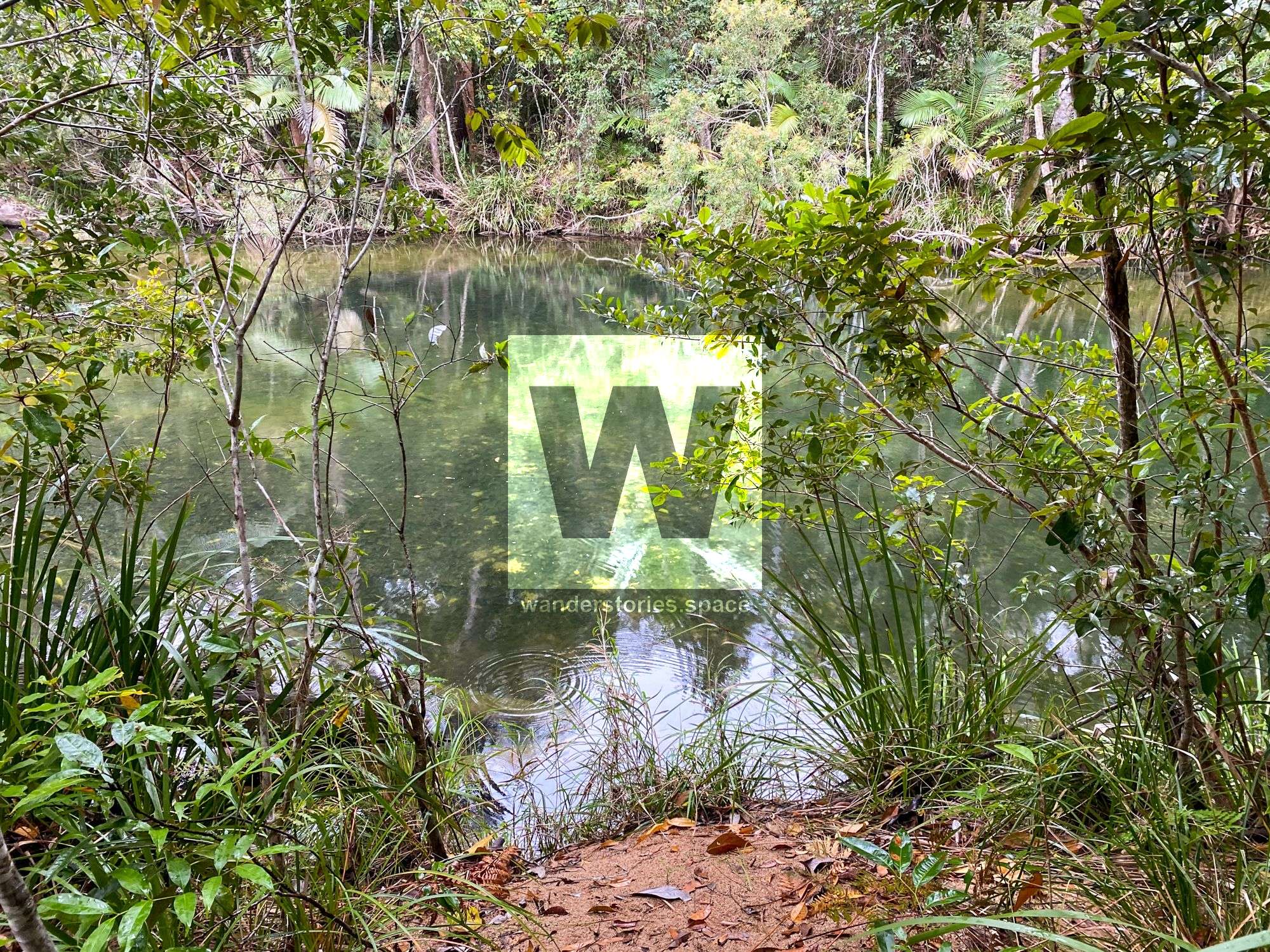
Bluegum Creek Waterhole - Lagoon Campsite
After a refreshing dip, if you choose, head back to Bluegum Creek Junction (i.e., back to the metal junction marker).
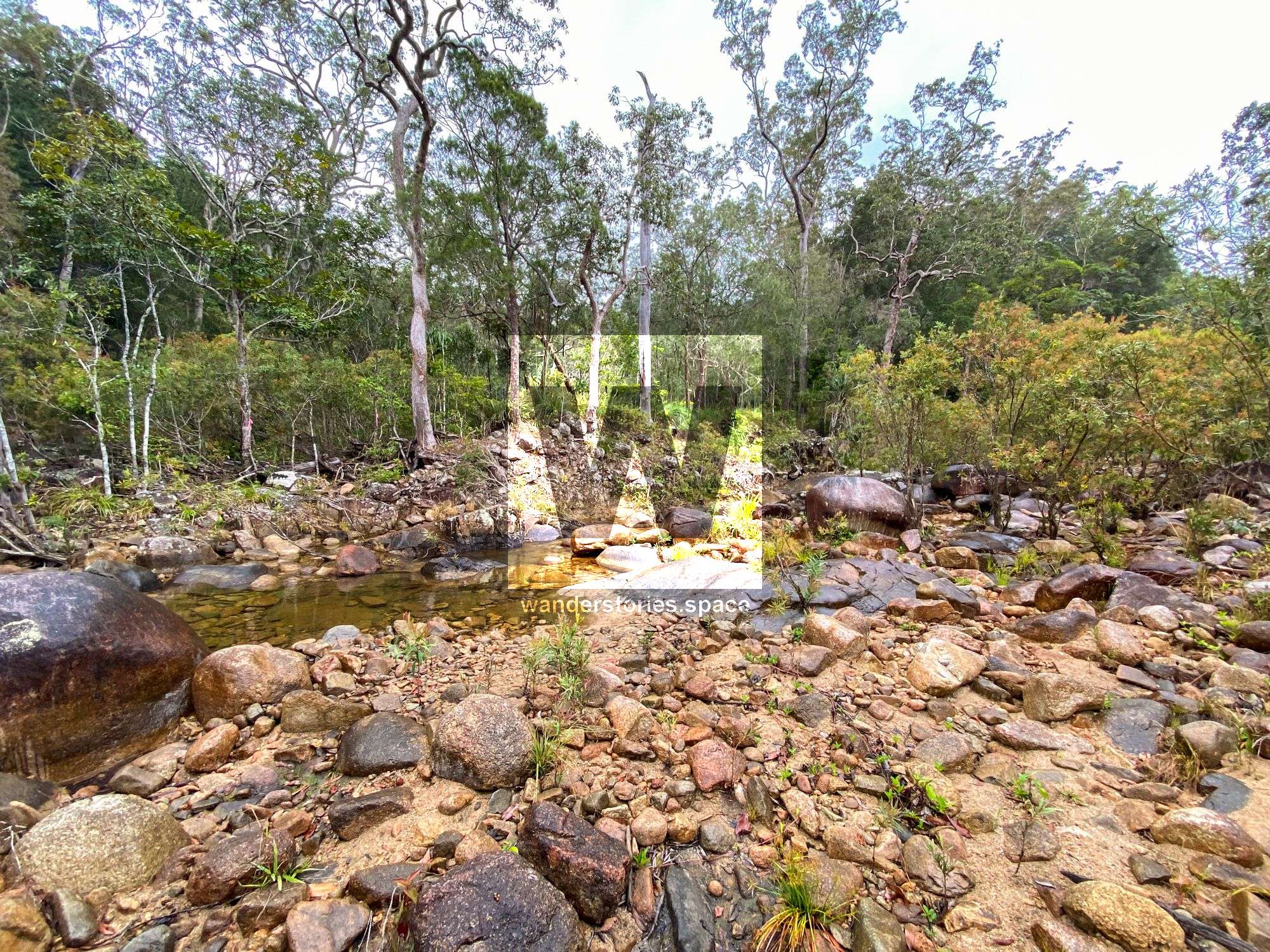
Once you reach the Bluegum Creek and the Mine Creek Junction, take the left fork up Mine Creek. This is also known as Miner Creek or just Miner's Creek. Rock hop along the Miner's Creek for 500 metres.
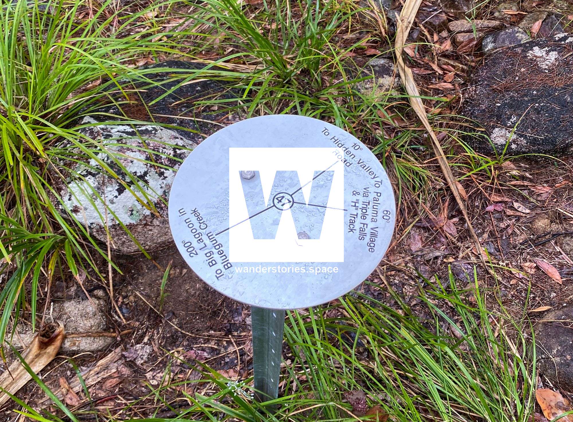
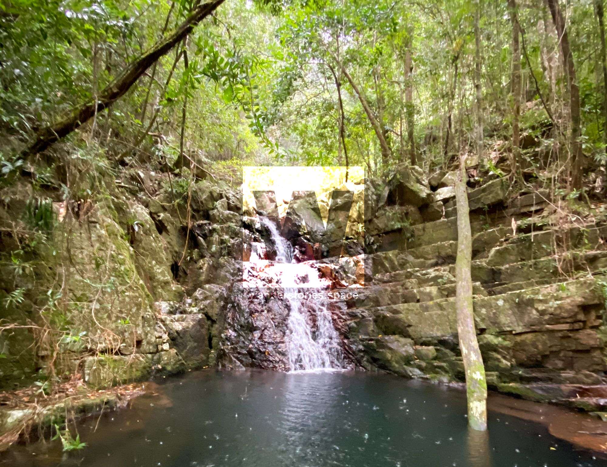
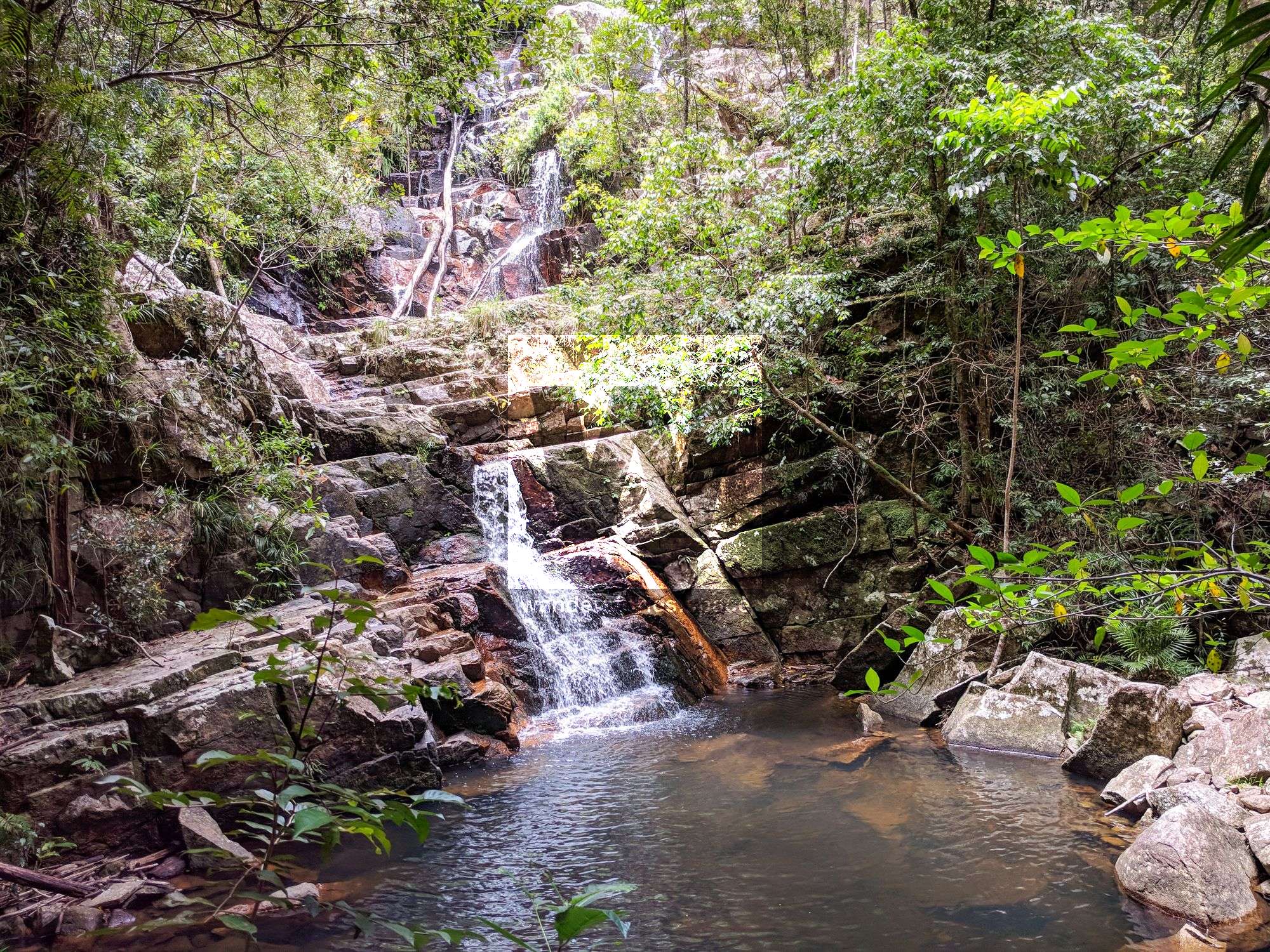
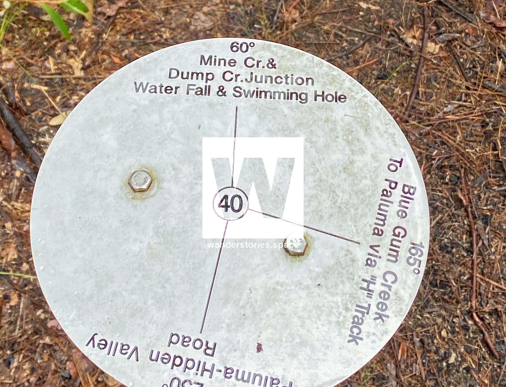
Then, you will leave the creek and head up to the ridgeline, while still following the track. At this point, there is another metal junction marker; if you choose, you can have a look at Mine Creek Falls and it's pools. It's only a short diversion from the main track but worth it. When you are finished, return to the junction.
Mine Creek Falls
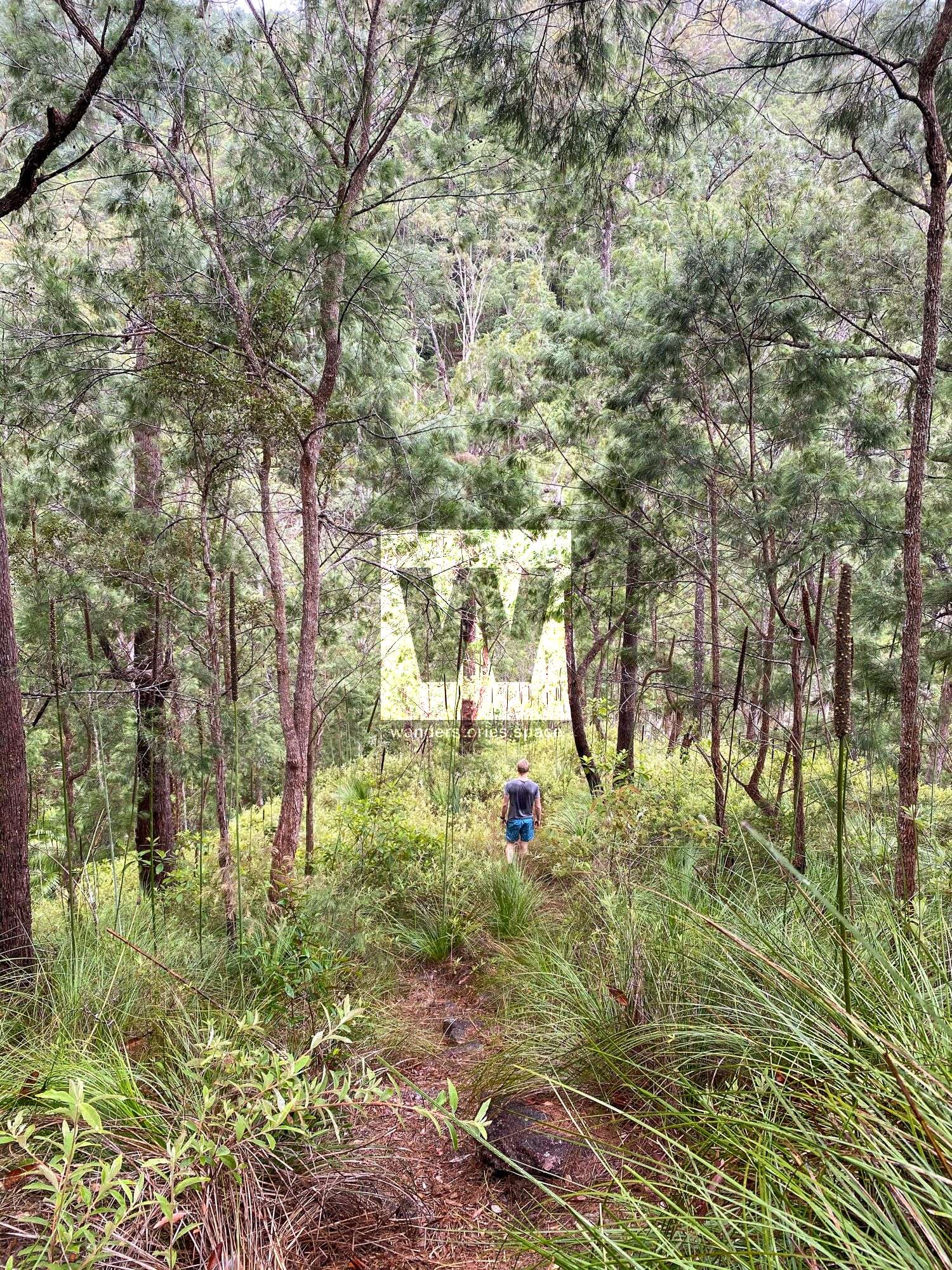
Then, you will ascend the track up 400 metres in altitude and past an old wolfram mine area, which may have been called Hang Flat Mine back in the day.
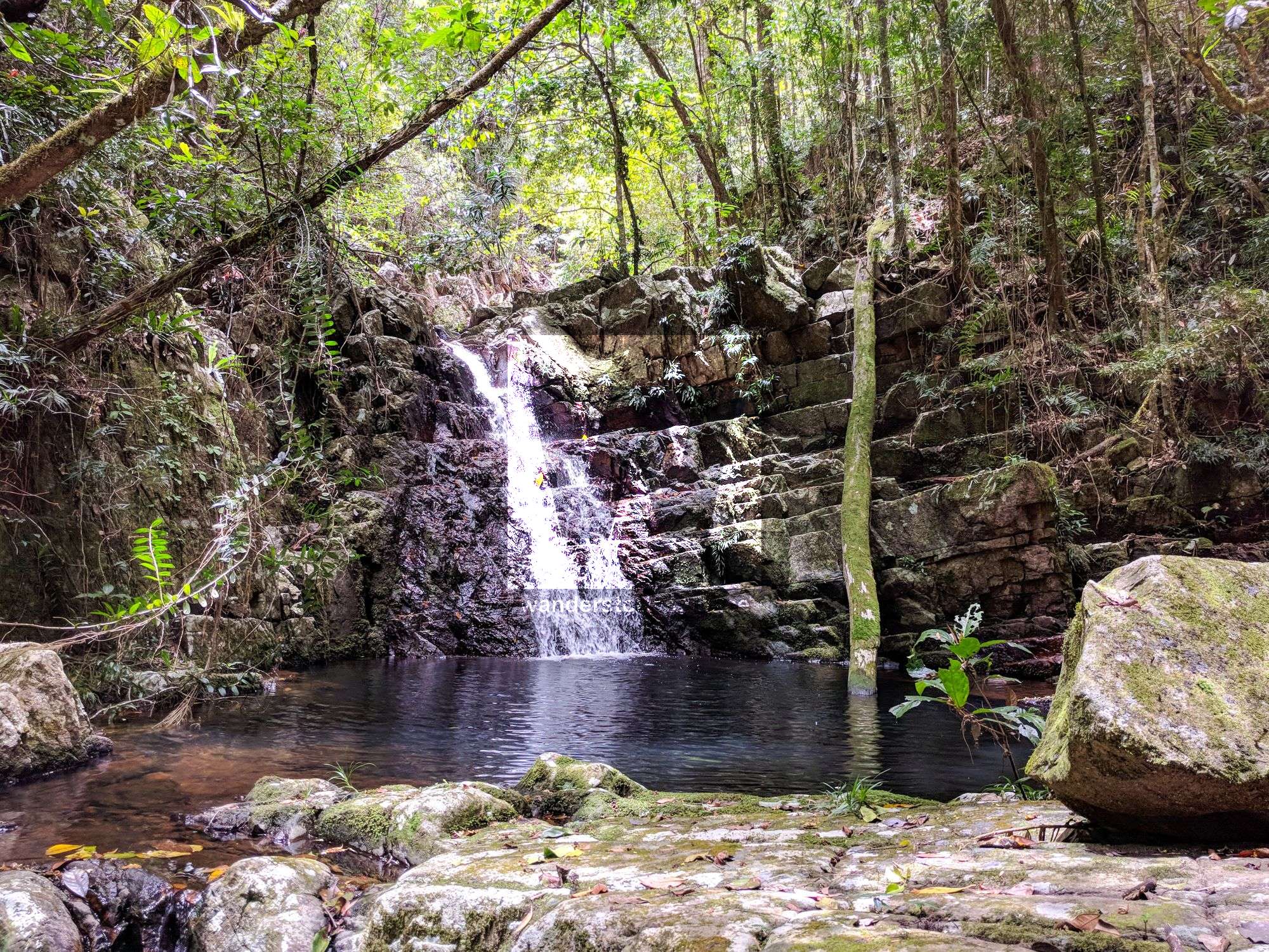
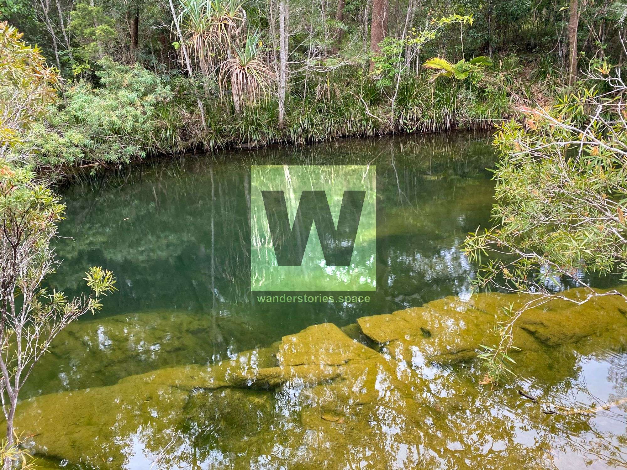
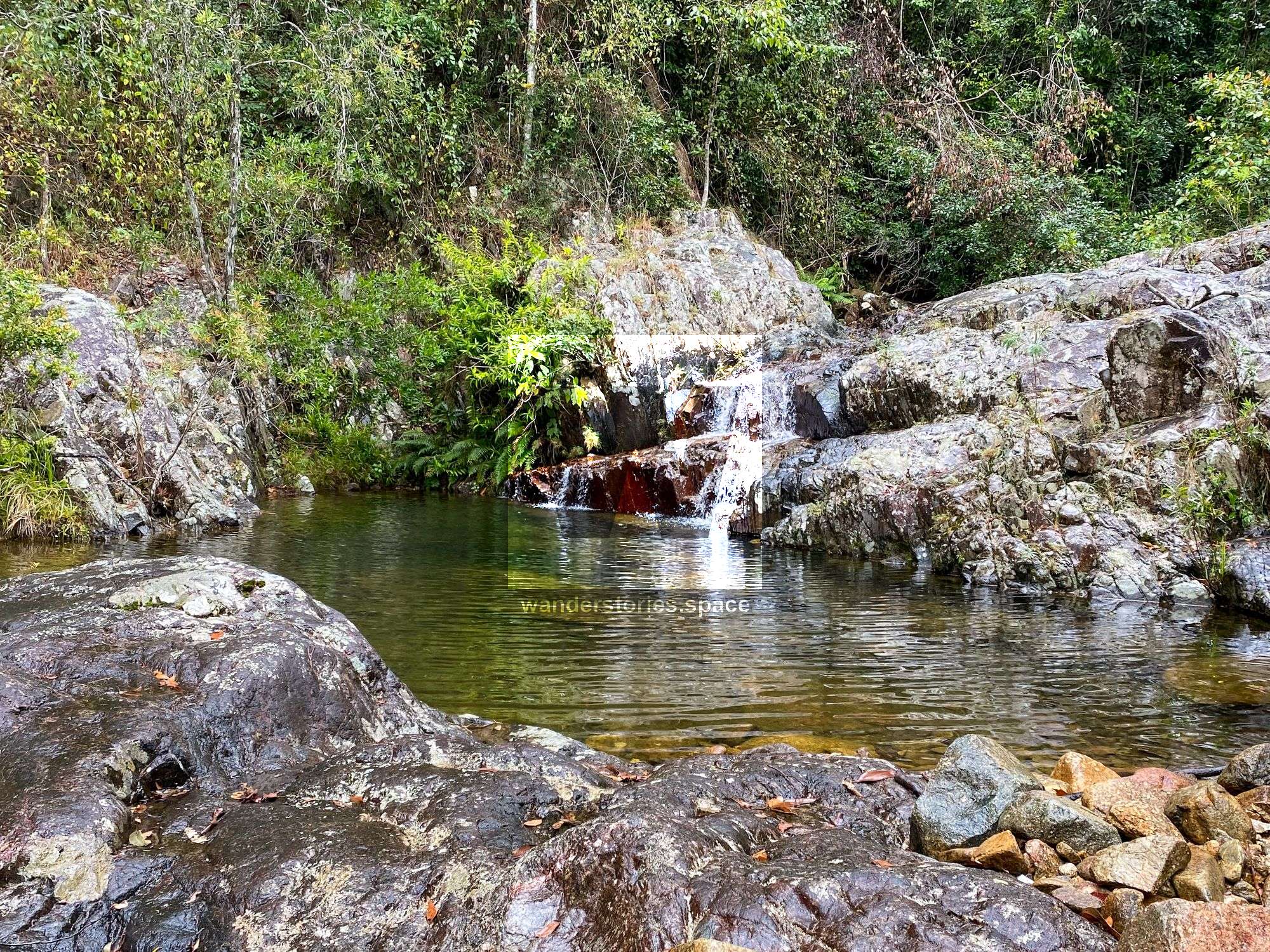
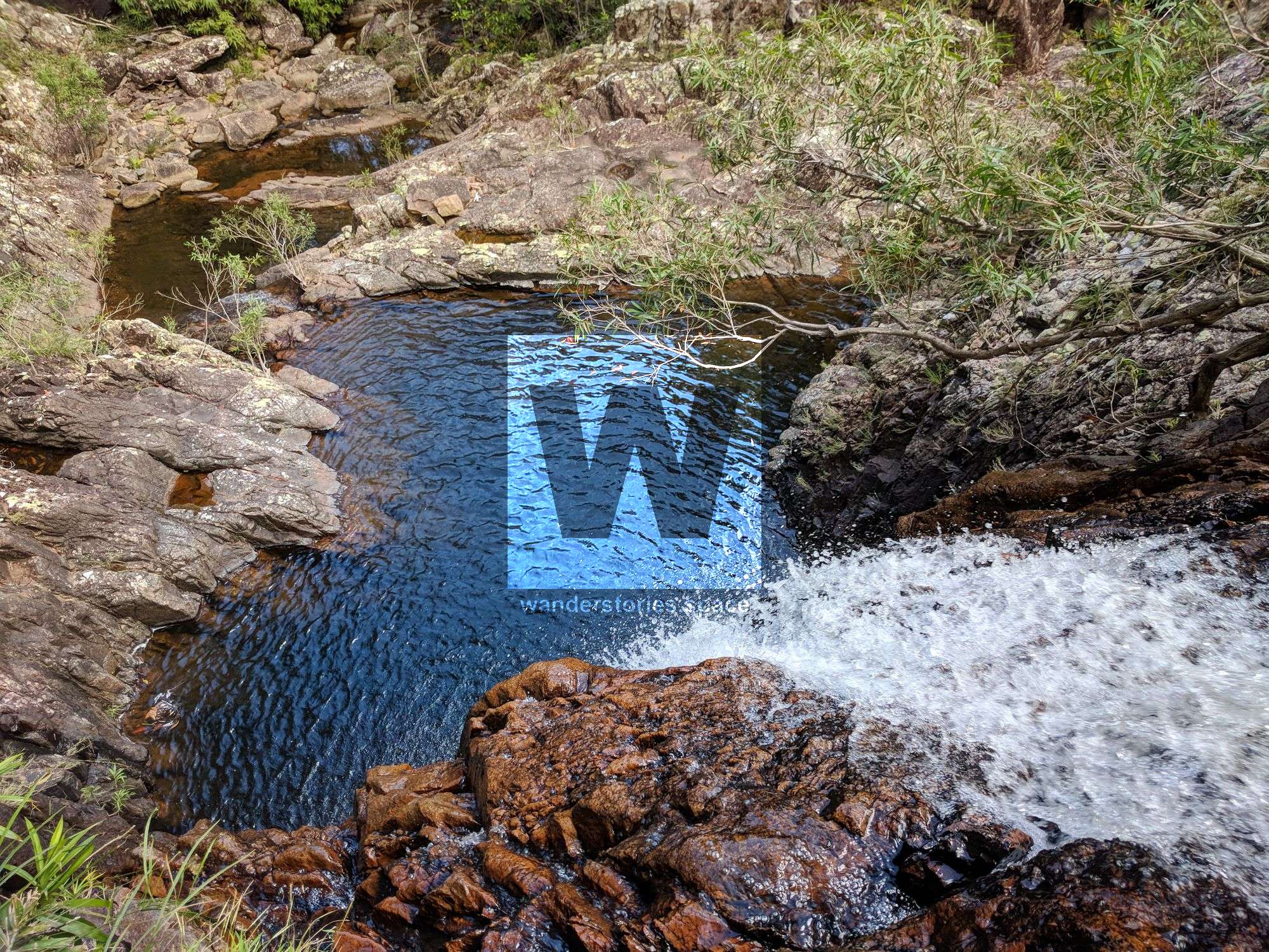
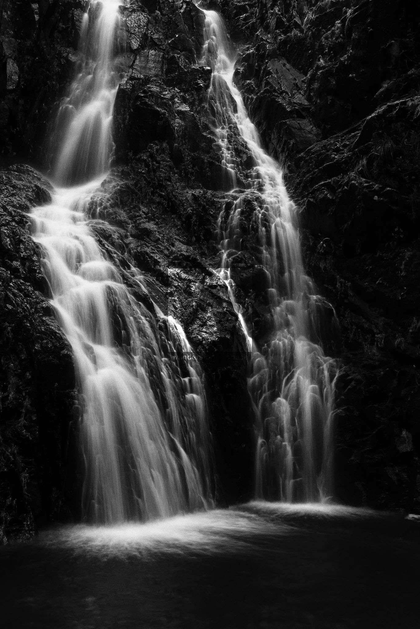
If you scramble down toward the creek, you can also check out the second waterfall in Mine Creek known as Race Falls.
Race Falls
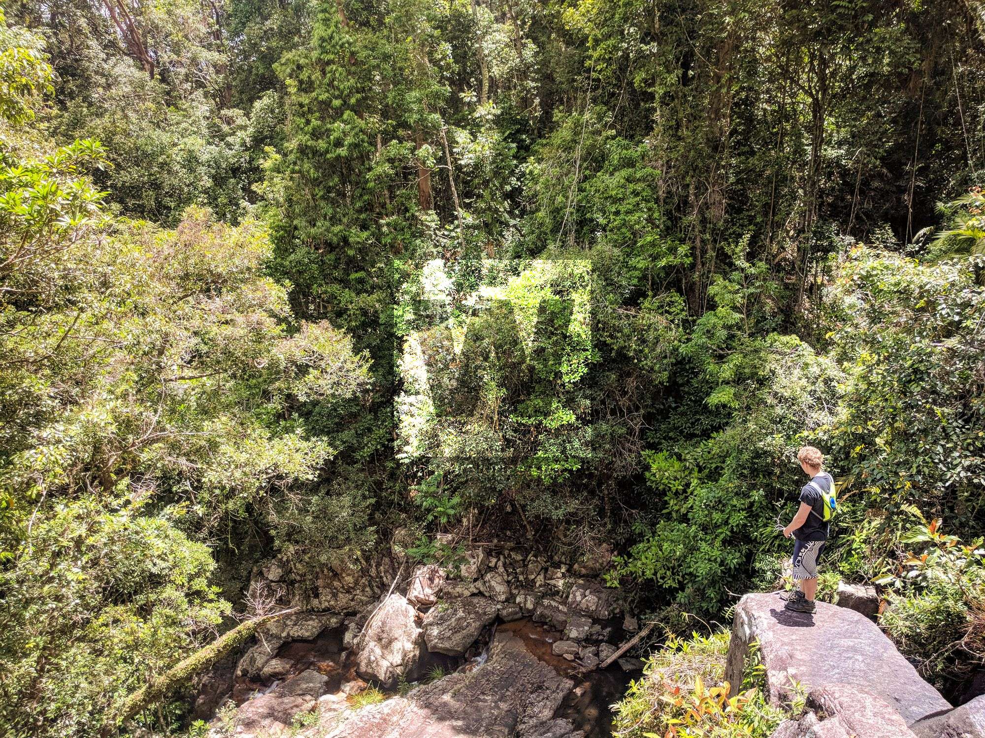
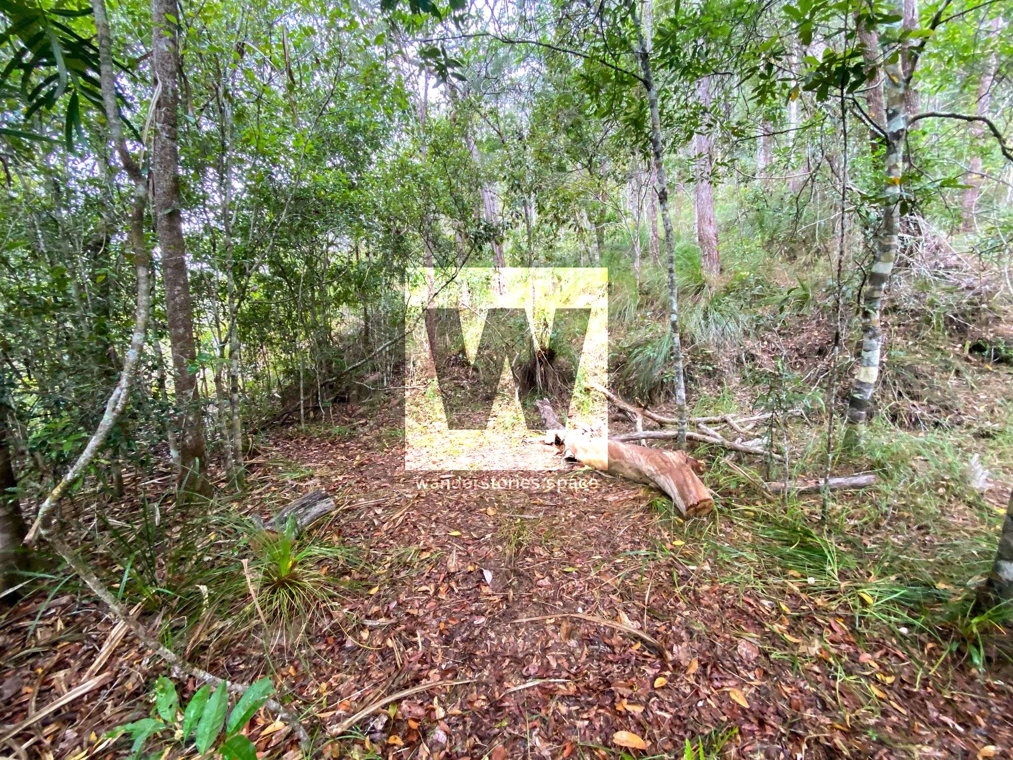
Continue to cross Mine Creek, and ascend the old forestry track. The other end of the track is about one kilometre (roughly 20 minutes) west of Paluma. Note that the track is bit hidden from the road due to overgrown vegetation.
Bluegum Circuit Track
What to bring
- Morning tea, snacks, and lunch
- Water (at least two litres). You will be away from water for a couple of hours; therefore, ensure you have sufficient supplies. You can refill from the creeks, but it may also be wise to bring water purification tablets with you, given the frequent boil-water-notice in effect for the Paluma Village water supply. Remember that it takes about 20-30 minutes for the tablets to become effective.
- Hat, sunscreen, insect repellent
- Swimmers and a towel if you aim to enjoy a nice, refreshing dip
- Camera (for waterfall and creek action and rainforest scenery)
- A change of clothes for the journey home
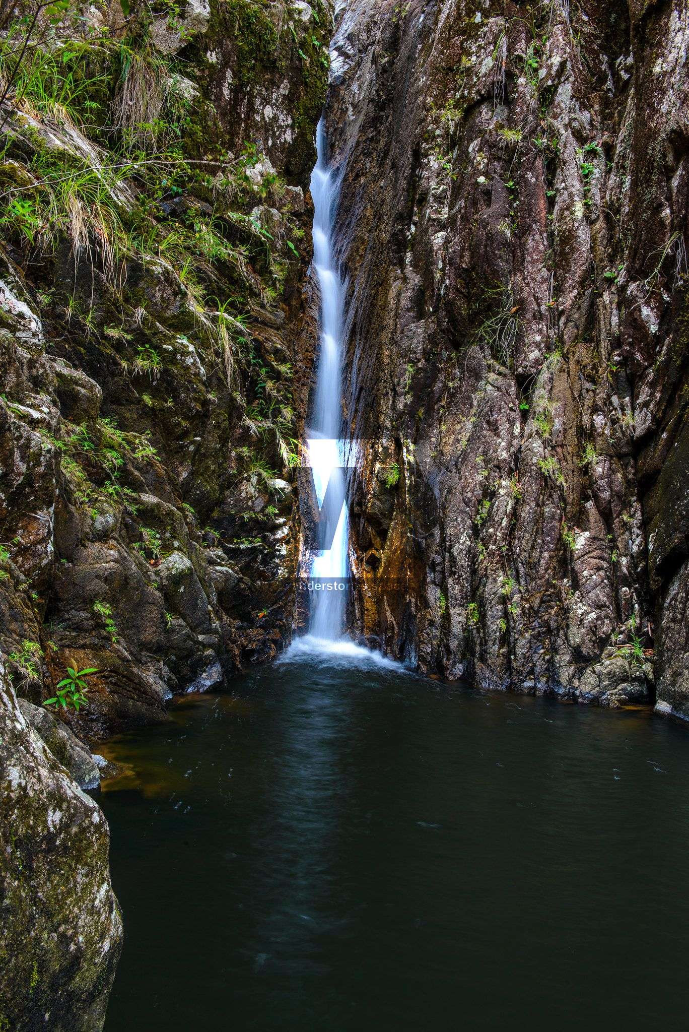
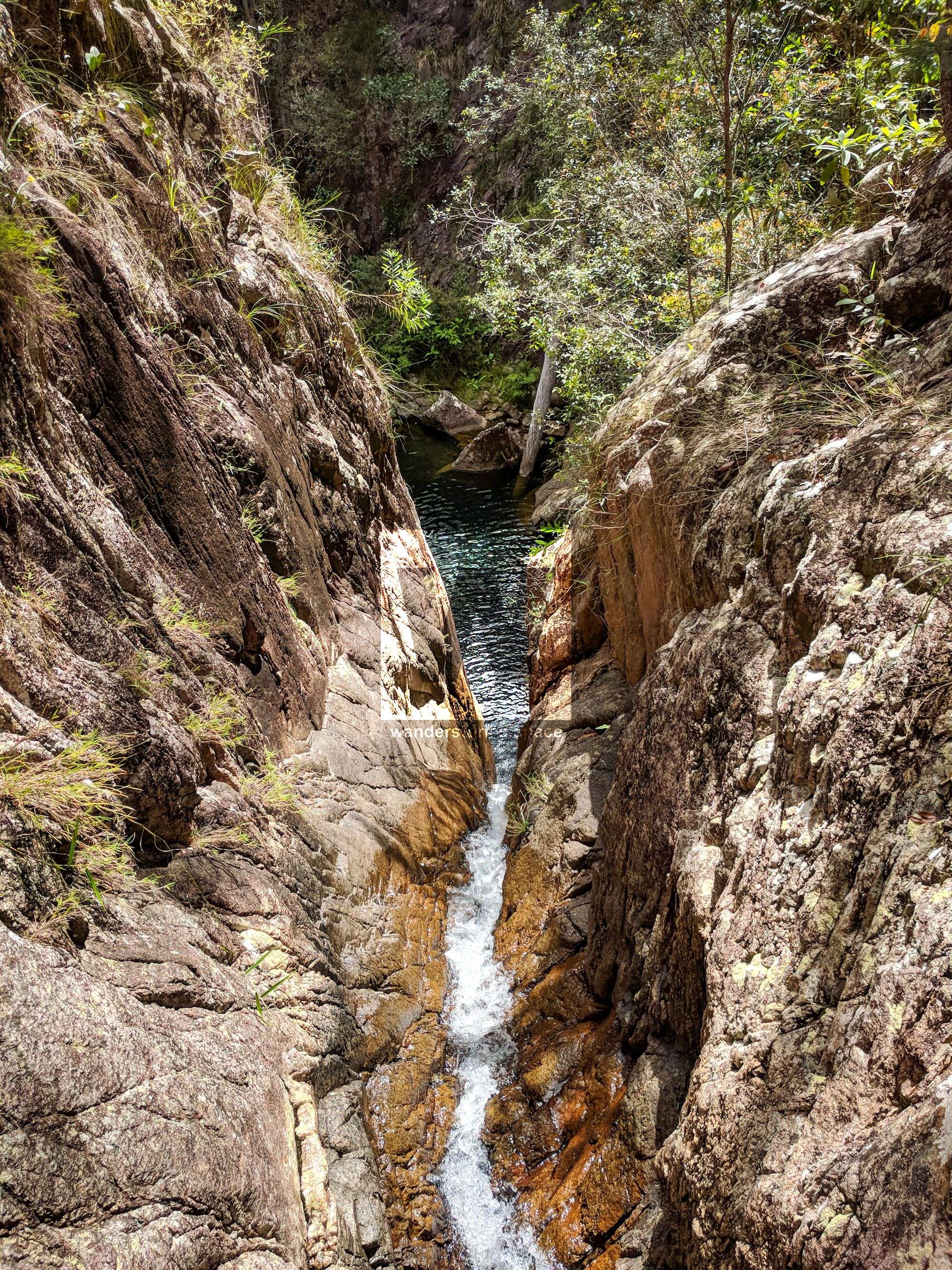
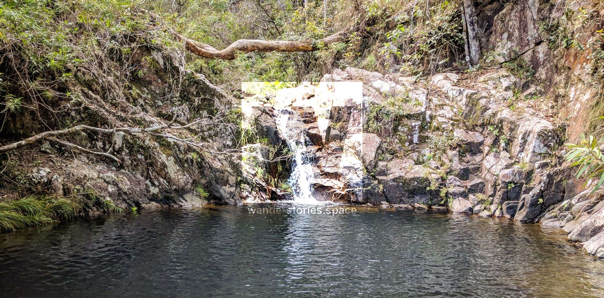
Photo credit: Keith Dyson (left), Luen Warneke (middle & right)
What to wear
Some people like to wear long sleeves to protect from the sun and scratchy vegetation, and wear long pants for this reason too, but many of us wear shorts and gaiters or sock protectors. It is up to you what you choose to wear.
Race Falls; Photo credit: Keith Dyson
Notes
Cloudy Creek was the name originally given to the creek that flowed west into the headwaters of the Star River, possibly in the vicinity of today's Bluegum Creek. Today, however, Cloudy Creek is a small creek on the other side of the divide, near Witt's Lookout, that flows east into Big Crystal Creek. Today, Bluegum Creek flows into the Star River, which in turn, flows into the Burdekin River.
Cover photo by Keith Dyson
This article, and all other articles, are for entertainment purposes only and are not to be used as a guide. Please see our Disclaimer for more information.