Paluma Range National Park Trails
Picturesque rainforest framed by waterfalls and peaks 1,000 m above the Crystal Creek floodplain to the quaint Paluma village. This national park offers a range of recreational opportunities including walks and bird watching.

Location - Townsville, North Queensland, Australia
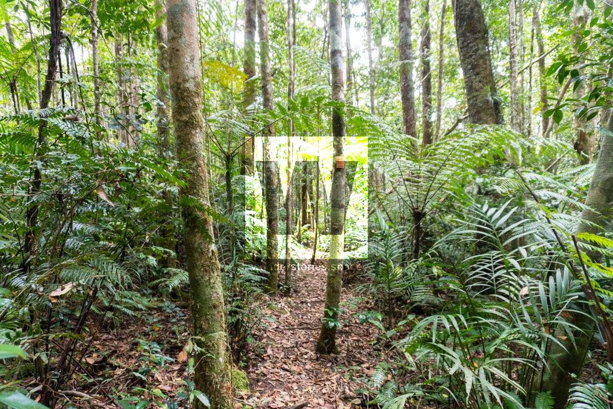
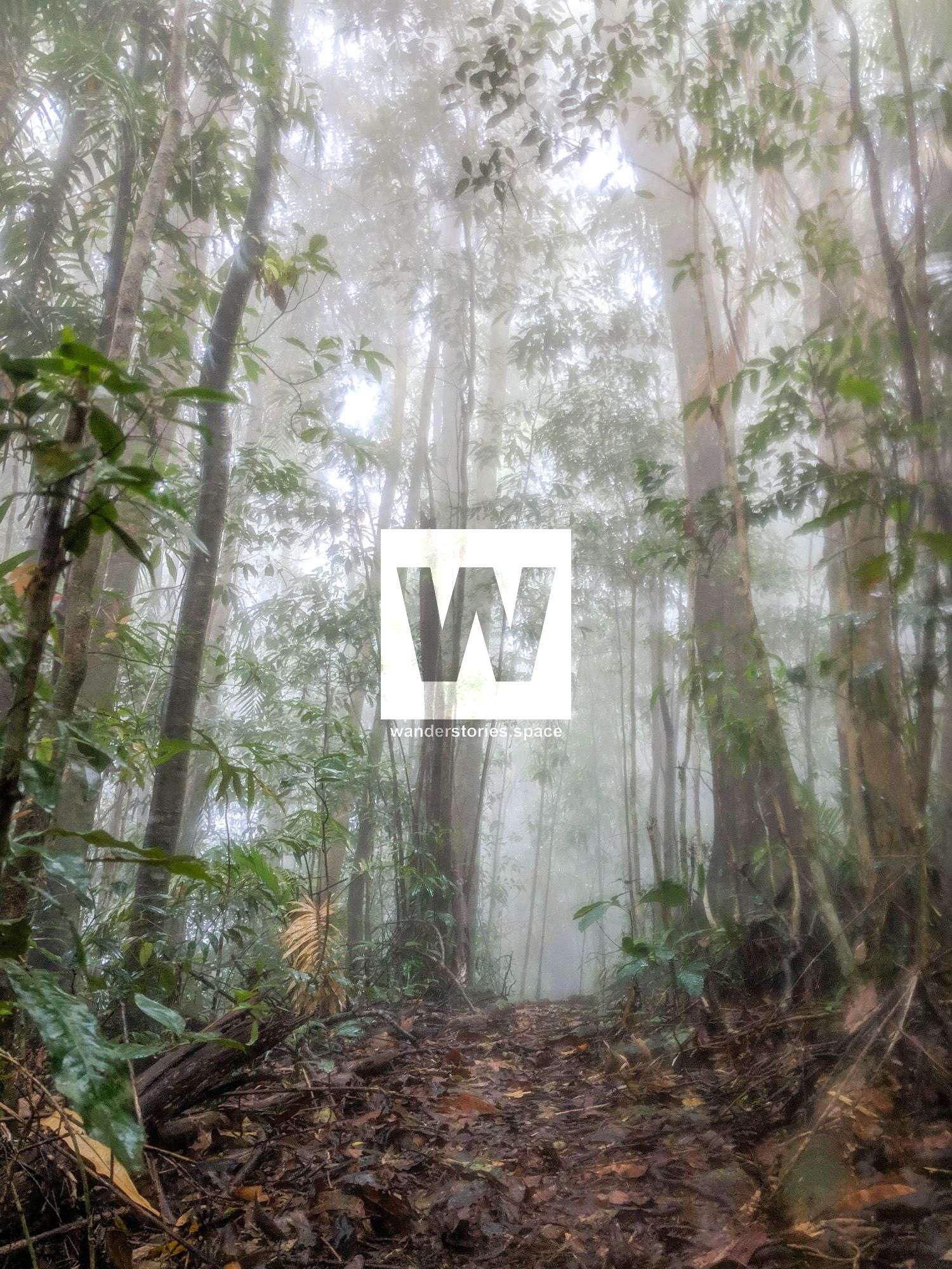
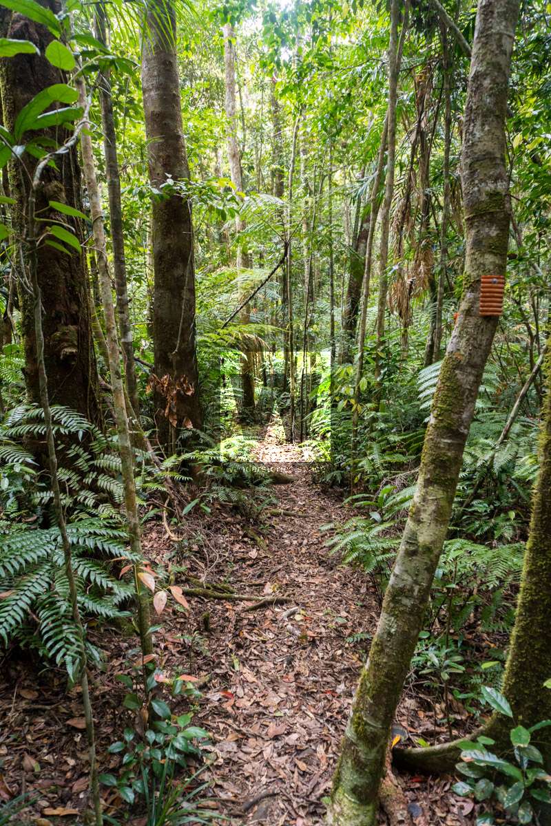
There are plenty of hiking trails to explore in Paluma Range National Park, but even the locals do not know about all of them. If you take some time to explore Paluma, however, you'll find yourself on an undulating journey through rainforest terrain, thick woodlands, and passing many gorgeous waterfalls and swimming holes. Relax and embrace these wonderful, natural landscapes.
Quick links to the sections in this article:Highlights of the Area
, Navigation and Map Downloads, Track Descriptions and Links, Paluma Mountain Peaks, Fauna, Flora, Safety
Approximately 74 per cent of Paluma Range National Park is within the Wet Tropics World Heritage Area which was proclaimed in 1988 and extends for about 450 kilometres between Cooktown and Townsville. Consisting of nearly 900,000 ha, the vegetation is primarily tropical rainforest, but also includes open eucalypt forest, wetlands, and mangrove forests.
HIGHLIGHTS OF THE AREA
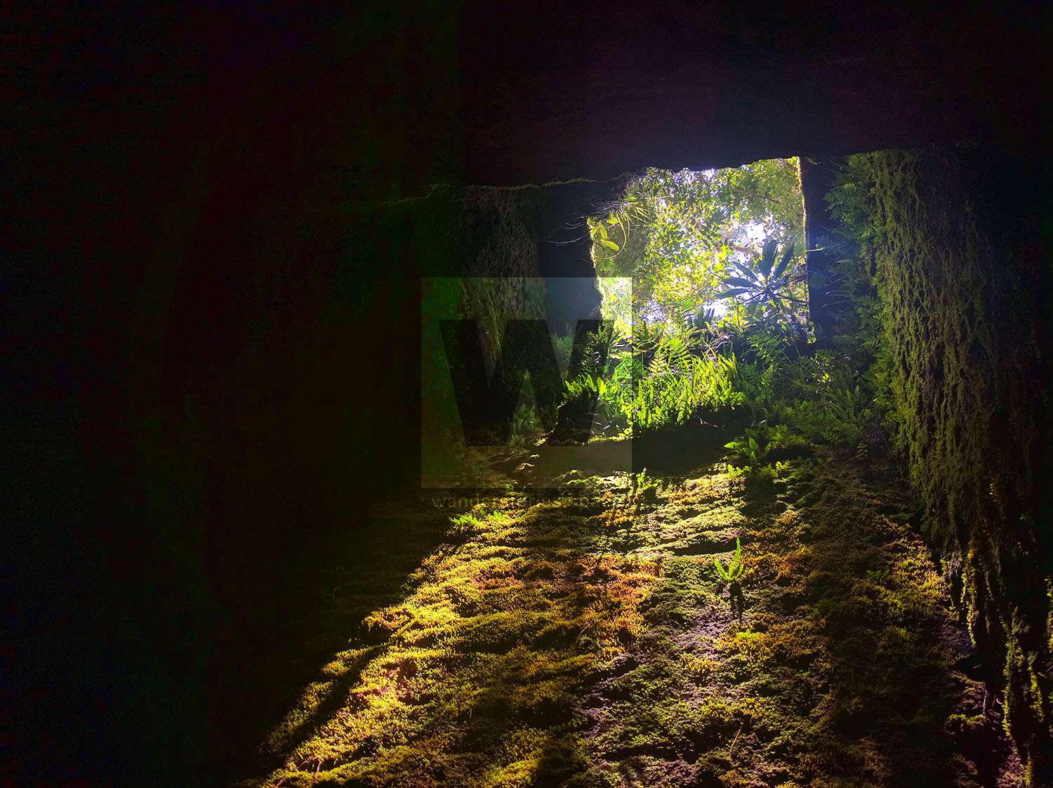
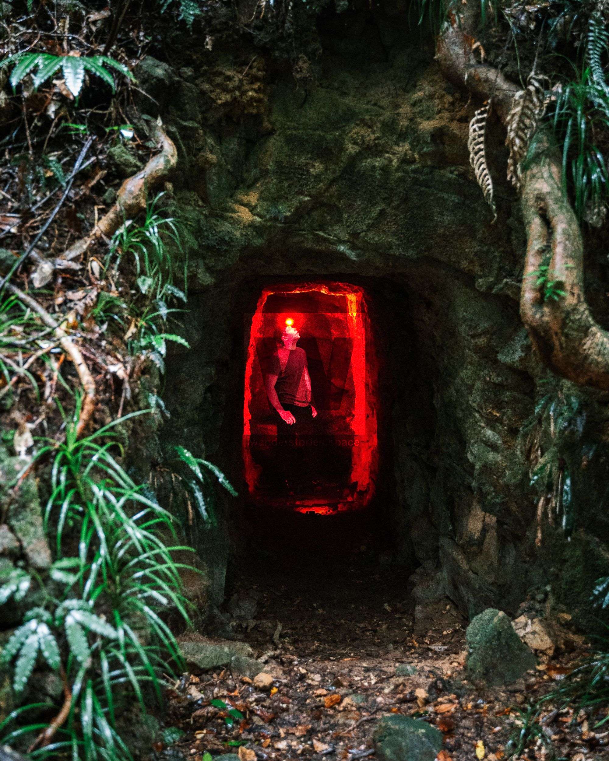
- Old tin and wolfram mines with landmarks including several unmarked mine shafts, Garde's Battery, Garde's Clearing, Shay's Clearing, Johnstone's Clearing, and Johnstone's Hut
- Logging roads, bottle dumps, and other remains of the logging era, such as the K-Traverse.
- DCK Shelter (private property)
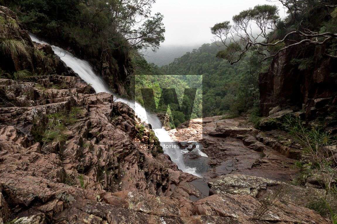
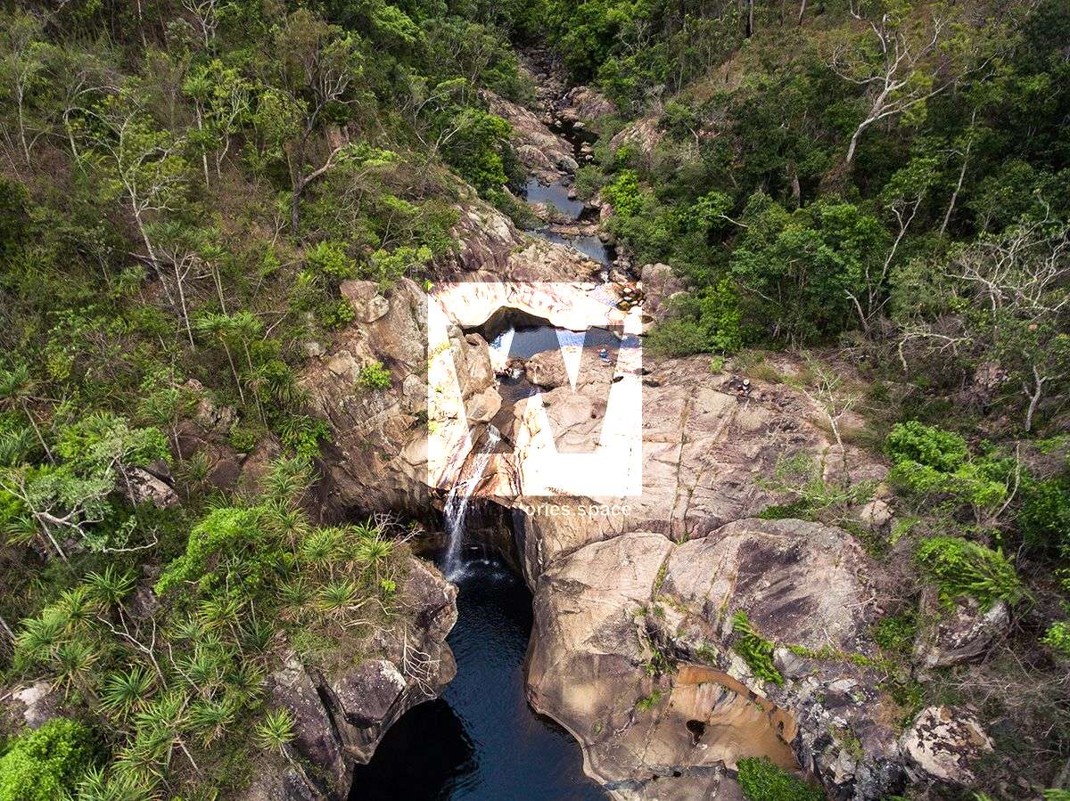
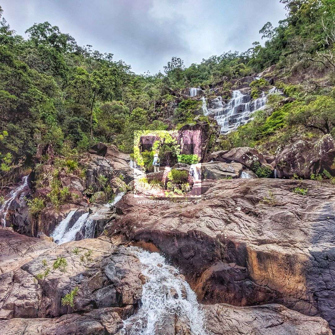
- Waterfalls, including Forgotten Falls, Birthday Creek Falls, Ethel Falls, Triple Falls and Miner's Creek Falls, Crystal Falls, Gold Creek Falls, Diorite Falls, Smith Falls (part of the PRB Track), Ollera Falls (a side section of the PRB Track), Benham Falls, Hermit Falls
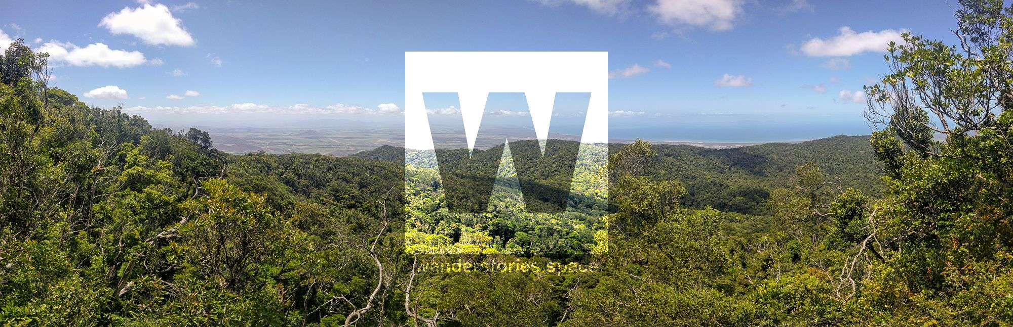
- Lookouts including Witts' Lookout, Cloudy Lookout, McClellands' Lookout, Star Valley Lookout, Garde's Lookout, Buttercup Lookout, Wilfred's Lookout, Foxlee's Lookout, and Ollera Valley Lookout (a side section of the PRB Track)
- Torstens' Rock Garden (see the Crystal Falls article)
- The PRB Track, which includes Circle View Mountain, Mt Halifax, Godwin's Peak, Roly Gorge, and Roly Falls
NAVIGATION AND MAPS
The Paluma Tracks have markers at each junction. They are assigned a unique number with labels of the the points of interest in each direct with their compass bearings to help with navigation.
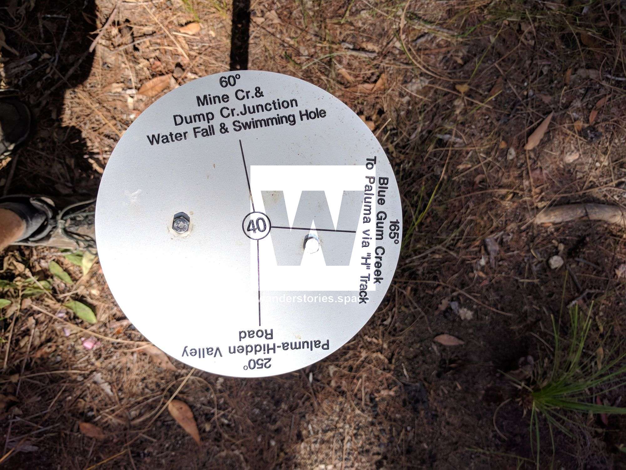
Here's an interactive map of the maintained tracks on the Paluma Plateau, around Paluma Township and Paluma Dam (also known as the Mount Spec area). These trails take you through the spectacular wet tropics rainforests that include many breathtaking views along the way.
Printable topographical maps download (PDF)
For the tracks south of Paluma township, see the PRB Track article.
Interactive Map
For more information about Paluma, see paluma.org and https://wanderstories.space/paluma-maps/.
Also, see our trail maintenance report to see which trails are open and clear.
Paluma Range Tracks
Bullocky Tom's Track
This track was originally blazed by 'Bullocky Tom' (Thomas Andrews). It connects Mount Spec with the coast at Mutarnee and follows the southern slopes of Mount Leach. Back in the day, the track gave access to Shay's Guesthouse at Mt. Spec. which was a . At the time, on the northern bank of Big Saltwater Creek (now Crystal Creek) was a shack (Crystal Creek Farm), which was a well-known landmark. Bullocky Tom was buried at Crystal Creek. This track was recut to cross Crystal Creek where you'll enjoy a swim, a chance to explore around the waterfall and eat lunch.

Foxlee's Track
This track follows an old tin miners bullock track and was cut in 1903 by Roberts Foxlee to also connect Mt Spec with Mutarnee but follows the northern slopes of Mt Leach. Named after Phillip Foxlee who was a tin prospector who came from Charters Towers and was at Mt Spec around 1900. He was also a packer, but as he and Tom Andrews were not on the best of terms, he blazed his own trail up Mt Leach to Mt Spec. In places this track was very steep and a considerable amount of cutting had to be made to provide a foothold for his teams.
Bambaroo Track
Bambaroo is an Aboriginal name from the Nyawaygi tribe 'Bamburu'. This track connected Benham's Track near Shay's Clearing (an old Guest House) and leads down into the Bambaroo area via an old tin miners property. There are a massive fig trees just off the main walking track that are pretty impressive to see. This trail ends at the Mobile Tower near Elenore Creek.
Jourama Falls Track
Jourama Falls comes from the Aboriginal word meaning singing or murmuring waters. Jourama Falls are located on the upper reaches of Waterview Creek (originally known as Station Creek), behind Yuruga. In 1963/1964, a group of 20 Rotarians assisted by Forestry Department officers and C. M. F. Unit officers provided an access road from the east to within a mile of the base of the falls.
The full length of the track was first cut in 2016 by Wilfred Karnoll and his team, following an old logging road on the Paluma Dam side, passes Jack Johnston's Mine where you can see old rusty artefacts, and continue down the range to the top of Jourama Falls. A new side track (Black Hole Track) has been cut that heads down the ridgeline to a large swimming hole known as The Black Hole.
Waterfall Creek
As the name suggests, this track follows waterfall creek down to Zammit Road near the Bruce Highway. You will see many pretty waterfalls along the way.
Jacobsen's Track
The Jacobson's Track provided access to Ingham from the mining town of Ewan. It passed near Mt Jacobson to Hidden Valley and was the earliest of the Mt Spec tracks and the one most used. It was named after its trailblazer Sigvardt Jacobson, known locally as Sid. He was born in Christana in Norway in 1849, spent 33 years in Queensland and died on 5th July 1905 at Francis Creek from dengue fever. Jacobson was a ship's carpenter and settled on Francis Creek where he cultivated a garden and grew the first tobacco in the area. Mining at Mt Spec, he thought the track was far too long, as it ran for about 10 miles to the Upper Stone River then back again. He decided to find a shorter way, starting at the top and coming out about 3 miles from his home on Francis Creek. There are still traces of this track now, as there is a well-graded timber road. Although this is no longer a maintained track, it use to be a popular four-wheel drive shortcut from Hidden Valley to the Bruce Highway.
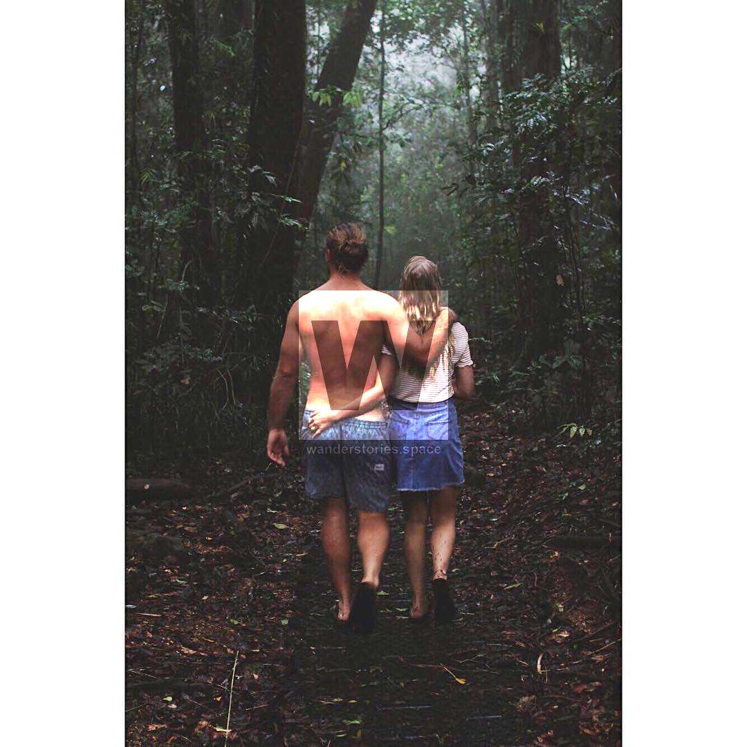
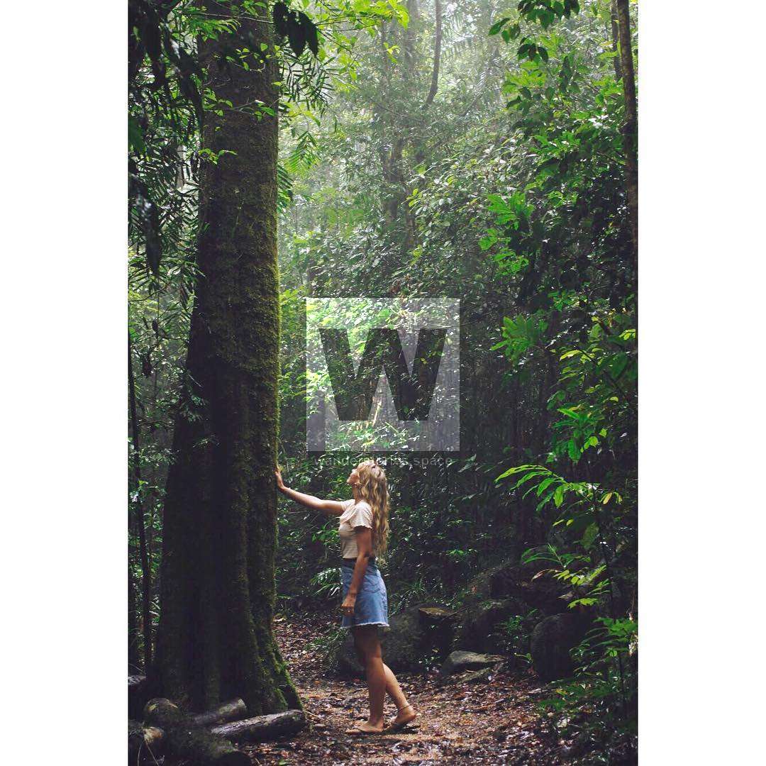
Photo credit: @_sheridanharris_
Paluma Range to Bluewater Track
Smith FallsCircle View Mountain
, Ollera Falls, and Big RockMount HalifaxGodwins PeakRoly Gorge and Roly Falls
Bell's Track
Believed to be named after Henry Bell who established a store near Moongobulla (Ollera Creek) in the 1890s. His sons operated pack teams back into the ranges. Bell's Track track went up the range to Wolfram Creek mines.
Benham's Track
This track eventually connected Hidden Valley with the coast, passing near Mt Spec and on to Cloudy Clearing (Paluma) and followed the Bambaroo Track with later connection made to the coast at Moongobulla (Ollera Creek). Benham Creek/Mount Benham was named after Arthur Benham a prospector nicknamed 'Possum'. Sometimes referred to as Arthur's Track. The current road out to the Paluma Dam from Paluma Village still follows this track.
Nolan Road and Saddle Road
As marked on QTopo, Nolans Road, also known as the Telegraph Track, starts off at Mango Tree car park and follows a ridge up to Mt Spec Road and then onto Windy Corner Track (part of the PRB Track). Likewise, Saddle Road starts near Moody Road, and follows the ridgeline up to join into the "The Saddle" on Mt Spec Road. Nolan's Track could possibly be apart of Benham's Track.
Gillis' Track
This track provided access from the Star River Basin to Hidden Valley, where it connected with either Benham's or Jacobsen's track to the coast.
Other tracks that make up the network are Hoons Track, Pughs Track, Collins Track, Shays Track.
PALUMA RANGE NATIONAL PARK SUMMITS
- Mt Houston - 672m
- Mt Spec - 995m
- Mt Leach - 938m
- Circle View Mountain - 831m
- Mt Halifax - 1063m
- Godwins Peak - 783m
The tracks north of the Paluma township, around the Paluma Dam were accidentally re-discovered by Wilfred Karnoll and he and friends have spent the last 35 years recutting and maintaining the old tin miners tracks. They are only now being recognised by the local forestry department and National Parks will soon take over the maintenance of some of these trails. Most of the tracks located in the Mount Spec area were used 140+ years ago by European pioneers who borrowed them from local Aboriginal groups.
The trails to the south of Paluma village (the PRB Track) are newer trails and were based on old logging roads and were initially extended, cut and marked by Vietnam veterans in the 2000's; Cyclone Yasi knocked out the canopy and the tracks turned to ruin. The PRB track is expected to be recut by a volunteer group by 2022.
HISTORY
The Traditional Owners of Paluma Range National Park and surrounding lands are the Njawaygi (or Nawagi / Nywagai) Aboriginal people, Gugu Badhun Aboriginal people, and Gurambilbarra Wulgurukaba Aboriginal people. Please respect this country, culture, history, and enjoy this place. The traditional name for the Paluma Range is Munan Gumburu, which means "misty mountain", an apt description as morning mists are common.
The Paluma Range is an offshoot of Hervey Range and was named after the HMS Paluma, an early Queensland colonial government survey ship that worked along the North Queensland coast in the 1880s and 1890s. As such, the area is rich with European history dating back to the year 1875. The demarcation point between Hervey Range and Paluma Range is Rollingstone Gap.
The first Europeans were miners, who came from the south-west, following tributaries of the Burdekin River from Charters Towers and Ravenswood in search of alluvial gold. In 1875, little gold was found around Mount Spec, but alluvial tin was found (). In the 1900s, tin ore was also mined from hard rock. Tin mining peaked in 1905 but soon declined due to poor access, high transport costs, and low tin prices. Tin-mining continued until the 1980s, when the drop in the world price made it uneconomical.
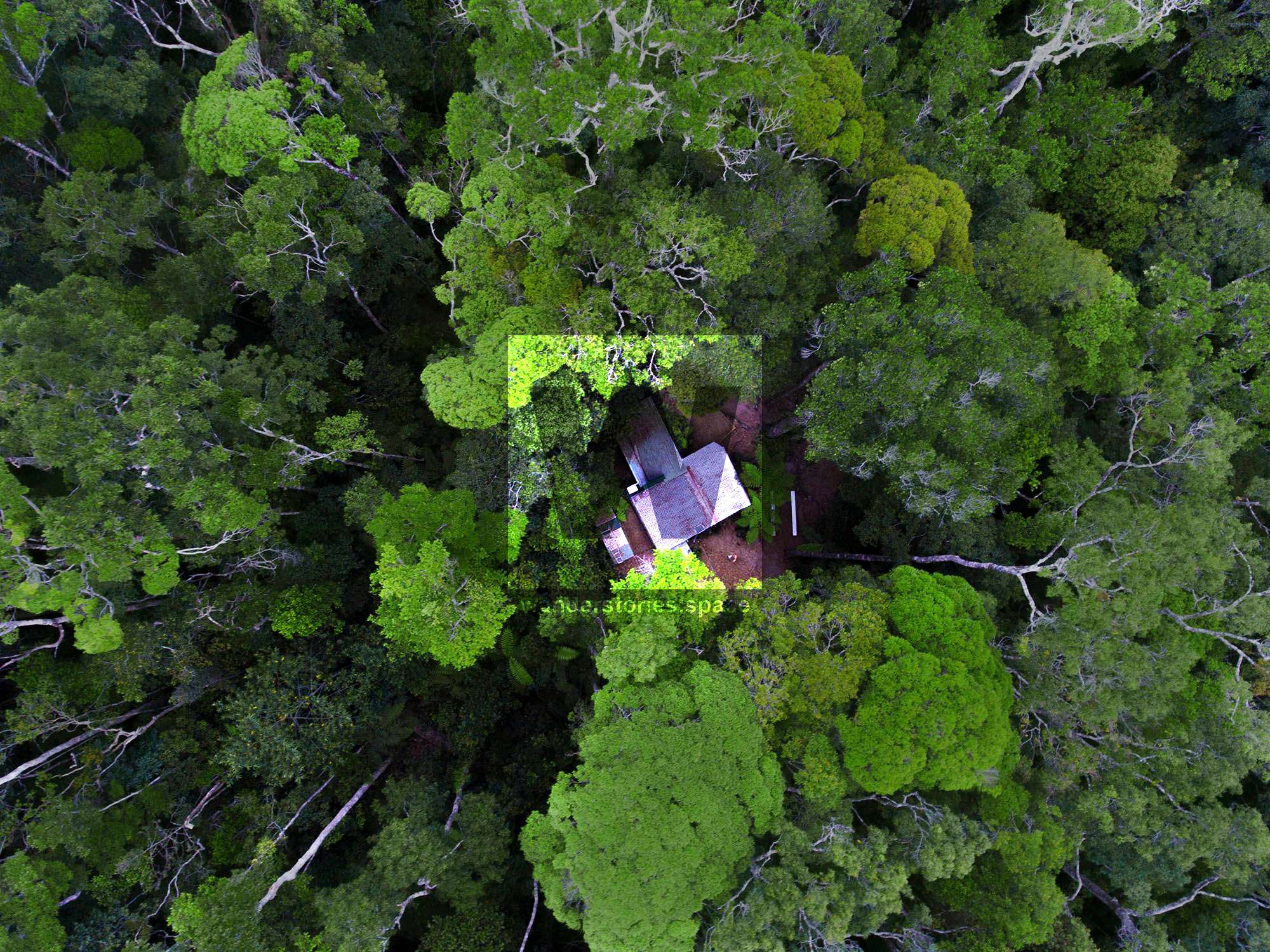
Arthur Benham is considered one of the first European settlements and is credited with Cloudy Clearing. The average temperatures are about 8°C lower than along the coast, making hiking in summer more enjoyable. Visitors to the area could camp out, or stay at "guesthouses" like Shay's Guesthouse.
The historical pack horse tracks, tin miners' tracks and logging roads in the Mt spec area provide walkers with the opportunity to explore old mining and alluvial tin workings, enjoy spectacular views of the coastal areas from rocky lookouts and discover the unique flora and fauna of the highland rainforest. The area is mostly National Park and is apart of the Wet Tropics World Heritage Area, spanning from Paluma to Cooktown. You can still see old bottle dumps, clearings, and rusty tools (including the remnants of a battery). Bottle's have the follow written on them: "This bottle always remain the property of ms Williams Wines Limited 1928".
Activities of miners and packers in the area resulted in the opening of a network of interlocking and interconnecting pack horse tracks. Within only the recent past, those tracks have been added to by timber cutters and loggers. Pack tracks can be distinguished by the distinctive hoof marks left still on roots and stumps, on the tracks. The Mount Spec area was worked exclusively for tin but other areas nearby yielded copper, silver-lead and wolfram.
"Those who blazed their way into the tangle of range spurs from the coast, left their names on the tracks they opened and in map land marks. The Benham Brothers, Gard Brothers, Jack Johnson, Sid Jacobsen, Phil Foxlee, and 'Bullocky Tom' Andrews are all remembered in this way. Sid Jacobsen opened his track from Francis Creek over the Range to Hidden Valley. Benham's Track was opened by the Benham brothers in connection with the many mining ventures with which Arthur and his brothers were associated. The family name is commemorated in Mount Benham, Ethel Creek and Benham Falls. Arthur originally maintained the clearing at what became known as 'Cloudy Clearing' and what is now the Paluma township. He is credited with opening the track through to Cloudy Creek." - History of Paluma, Mount Spec
Henry Bell established a store near Moongobulla (Ollera Creek) in the 1890s. His sons operated pack teams back into the ranges. Hundreds of men walked into the Range with stores and tools on their backs. It was an area of loneliness and privation. Each clearing or old settlement has its graves, some marked, some unmarked.
In the early days, Aboriginal tribes were numerous in the coastal area with some of the tin prospecting and mining tracks are said to have based on aboriginal trails that they used to travel between the coastal plain and the hinterland.
The scenic qualities of the rainforest and the difficulties in getting tin and timber down the range were motivations for the construction of the Mt Spec Road as an unemployment relief project in the Great Depression. McClellands lookout commemorates the overseer who built Paluma Road and the bridge across Little Crystal Creek during the depression of the 1930s. The stone bridge is an enduring tribute to the stone masonry of those times.
Rich in cabinet timbers, part of what is now Paluma Range National Park was logged during the early 1930s to mid 1970s. Hardwoods and softwoods were taken from the rainforest and surrounding eucalypt forests. Most timber harvesting stopped with the formation of the Wet Tropics World Heritage Area in 1988.
At nearly 1000m and with its excellent views of Halifax Bay, the township of Paluma was chosen by the United States Army as a radar station in World War II. The antennae for the radar was located near McClellands lookout. The radar station detected enemy planes in July 1942, successfully warning Townsville of the approaching air raid. In 1943 the Royal Australian Air Force took control of the operation of the radar station before it closed in early 1945.
Mount Spec National Park was proclaimed in 1952 and was included in the World Heritage Wet Tropics Area in 1988. World Heritage Listing is only awarded to areas of exceptional natural and cultural value and provides for the protection of the natural values, conservation for the future and presentation to the public.
Mount Spec, Paluma Range National Park - Nature, culture and history
"The human history of the Mt Spec Paluma area has swung alternately between activities with a passive or active impact. Despite advances in technology and positive changes in attitude, our very presence continues to have an impact on the forest. Aboriginal occupation of the rainforest appears to have left little physical
impact around Mt Spec-Paluma. The tin-mining and timber industries left lasting impressions, though the forest has recovered well." - Paluma The First Eighty Years 1870s-1950s
Paluma Dam, Townsville's water supply, is a drinking water storage facility owned by NQ Water and is situated close to Mount Spec, high above the Paluma Range National Park. Lake Paluma has a capacity of 11,800 megalitres. The dam is part of a unique water supply system that gravity feeds up to 50 megalitres of water per day down Crystal Creek to the intake plant near the bottom of the range. This water is then piped to Rollingstone and supplies all the suburbs north of Townsville City. The lake is open for a range of nature-based recreational activities such as canoeing, sailing, and swimming. Visitor facilities include picnic shelters, barbecues, and camping sites (bookings are essential). The area is home to the platypus, peregrine falcon, eastern water dragon, and a range of rainforest fauna.
We would like these historic sites to be remembered, and we would like the relics and artefacts to stay at the site and not fall victim to collectors and trophy hunters. There are few places remaining like this in Australia, let alone the world, to explore that have not been pillaged. There is no reason to remove objects from any of these sites. Please be responsible, respect the history, and respect the importance of this site for future generations. Take photos and leave only footprints.
Paluma Village now has around 25 permanent residents and is a popular place to visit and hike for both tourists and locals.
More reading:
WILDLIFE
The Paluma region is a bird watcher's paradise. The unique ecosystem of the wet tropics provides a habitat for a fascinating diversity of birdlife. Some of the region's most rare and endangered species can be found here and is home one of three Australia's birds of paradise. The township of Paluma is home to a wide array of impressive native rainforest bird species while further past Paluma there are opportunities to view dry tropical forest birds. If you are interested in bird watching, consider joining BirdLife Townsville.
- Snakes - Most common are pythons and tree snakes which are harmless, however the dangerous Red Belly Black snakes are also present. Treat all snakes with caution and respect and carry a compression bandage.
- Ticks - Most common in the dryer season. Best killed with an application of insect repellent.
- Leaches - Easily removed by using a fingernail or a knife along the surface which forces them to retract their teeth. Alternatively the old fashion ways are to sprinkle them with salt or heating their rear end with a match or lighter.
- Giant white-tailed rats - Native rats are nocturnal and are attracted by the smell of food. Keep your camping area clean and pack all food at night in your tent or suspend from a tree.
- Wild pigs and cane toads - Unfortunately they have also found their way into the area. Pigs are very destructive to the vegetation on and around track. While attacks from pigs on people are very rare, the larger ones could be dangerous if startled.
- Cassowaries - Paluma Range National Park contains a significant population of the vulnerable southern cassowary. Although very rare to spot, you can see their droppings over many of the trails. I've been lucky enough to see one on the Bambaroo Track.
- Golden Bowerbird - A number of their stick mound bowers can be seen on or near the walking tracks.
- Tooth-billed Bowerbird - Also known as a Tooth-billed Catbird. Their bower consists of a one meter round area cleared of all leaf matter and then decorated with upturned silvery leaves from a particular tree.
- Victoria's Riflebird - Victoria's riflebird, also known as the duwuduwu to the Yidinji people, is a bird-of-paradise endemic to northeastern Queensland.
- Fireflies - Lighting up the rainforest at night time make it a wonderful sight to see.
Keep your eyes and ears open - you never know what you might come across.
FLORA
Quandong, Plums, Silky Oak, Cedar, Pimply Pine, Iron Wood, and Satin Ash are just some of the tree species found in the rainforest.
- Fungi - Their shapes and sizes vary greatly, colours range from white, yellow, orange, purple and black, some are bioluminescent so have a walk on the 'Sensory Trail' at night.
- Gympie (Stinging tree) - Mainly found on the margins of the rain forest or in regrowth under open canopy. Inflicts excruciating pain when touched that can last up to a year. Contact with any part of this plant should be avoided. The plant is recognised by its large, heart-shaped, furry, insect eaten leaves and purple berries.
- Wait-a-while vine (Lawyer Cane) - With its rows of hooks and thorns, more common in dense thickets and along creeks should be avoided.
- Barbed Wire Vine - A vine with large thorns that present a trip hazard.
- Bramble - A scruby plant with many small hooks and thorns.
- Lantana - An introduced pest with a distinctive scent and small hooks
Watch where you walk, stick to the tracks.
SAFETY
Most of the tracks around the dam are easy walks for the general public. The others are bush tracks that require a degree of fitness, preparation and navigation. Advise someone, with reference to the map, where you are going and when you expect to be back. Most of the area is covered by thick rainforest which makes navigation very difficult due to a lack of reference points. Please stick to the marked tracks unless you are very experienced, or join the Townsville Bushwalking Club.
You should not attempt these tracks unless you are appropriately equipped. Always carry a map and compass or GPS. Mobile phones cannot be relied upon for communication due to their very patchy coverage. A PLB (personal locator beacon) is highly recommended and should be carried in case of emergencies. An unplanned night can be very cold and wet so you many want to carry a space blanket (also known as a Mylar blanket and Emergency blanket).
Stinging trees and lawyer canes (wait-a-whiles) can quickly grow up on all tracks and cause significant discomfort or injury. Walk around these - some choose carefully cut through with a pair of secateurs (don't do this within National Park) - you any want to wear gloves. Carry water and a first aid kit including a compression bandage for snake bites. There has also been extensive mining in the area south of Mt spec and are many mining shafts, some hidden. People have disappeared in this area, so stick to the tracks.
As you are walking in a high rainfall area remember that rocks, tree roots, and other vegetation can be very slippery. The water in the running creeks appears clear, however purification tablets are a good precaution for drinking water. The tracks around the Dam are part of its catchment area for the supply of drinking water. Bury human waste and toilet paper at least 15 centimetres deep and 100 metres from campsites, tracks and watercourses to guard against pollution and the spread of disease.
DISCLAIMER
Whilst all care has been taken in the mapping of these tracks, no responsibility will be taken for its inaccuracy or the safety of anyone using it or the tracks.
LEAVE NOTHING BUT FOOTPRINTS - TAKE NOTHING BUT MEMORIES!
WHAT TO TAKE
- Enough water (or a way to treat your water, e.g. purification tablets)
- Snacks and food
- First Aid Kit
- PLB (Personal Locator Beacon) or similar is recommended
- Map and compass and/or a GPS unit
This article, and all other articles, are for entertainment purposes only and are not to be used as a guide. Please see our Disclaimer for more information.