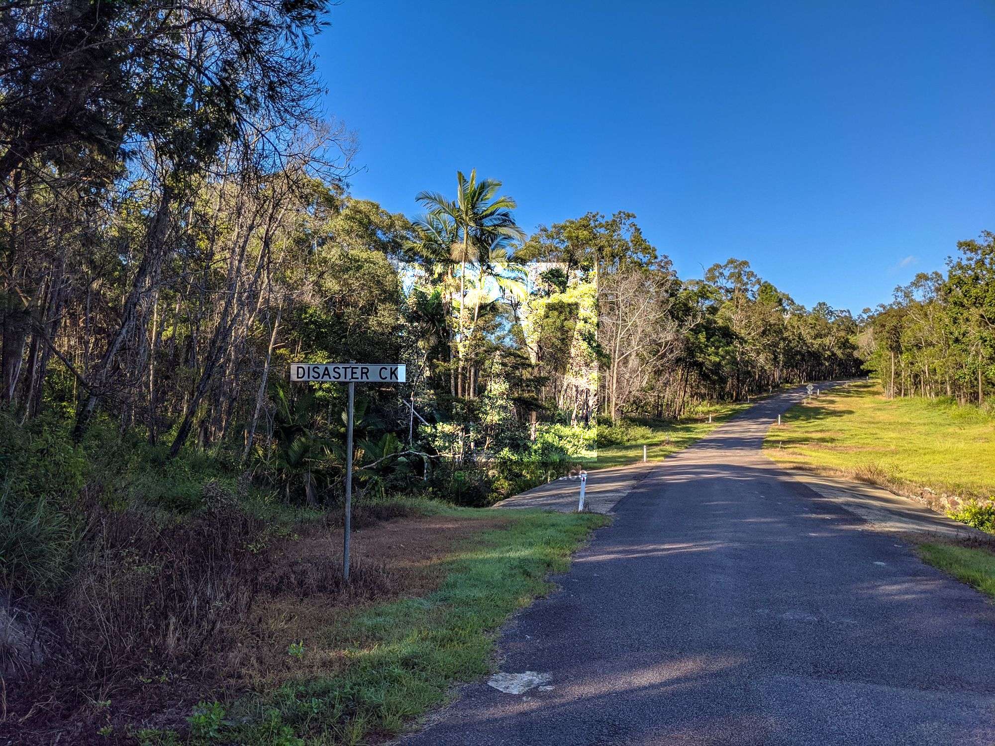
Disaster Canyon, Disaster Creek
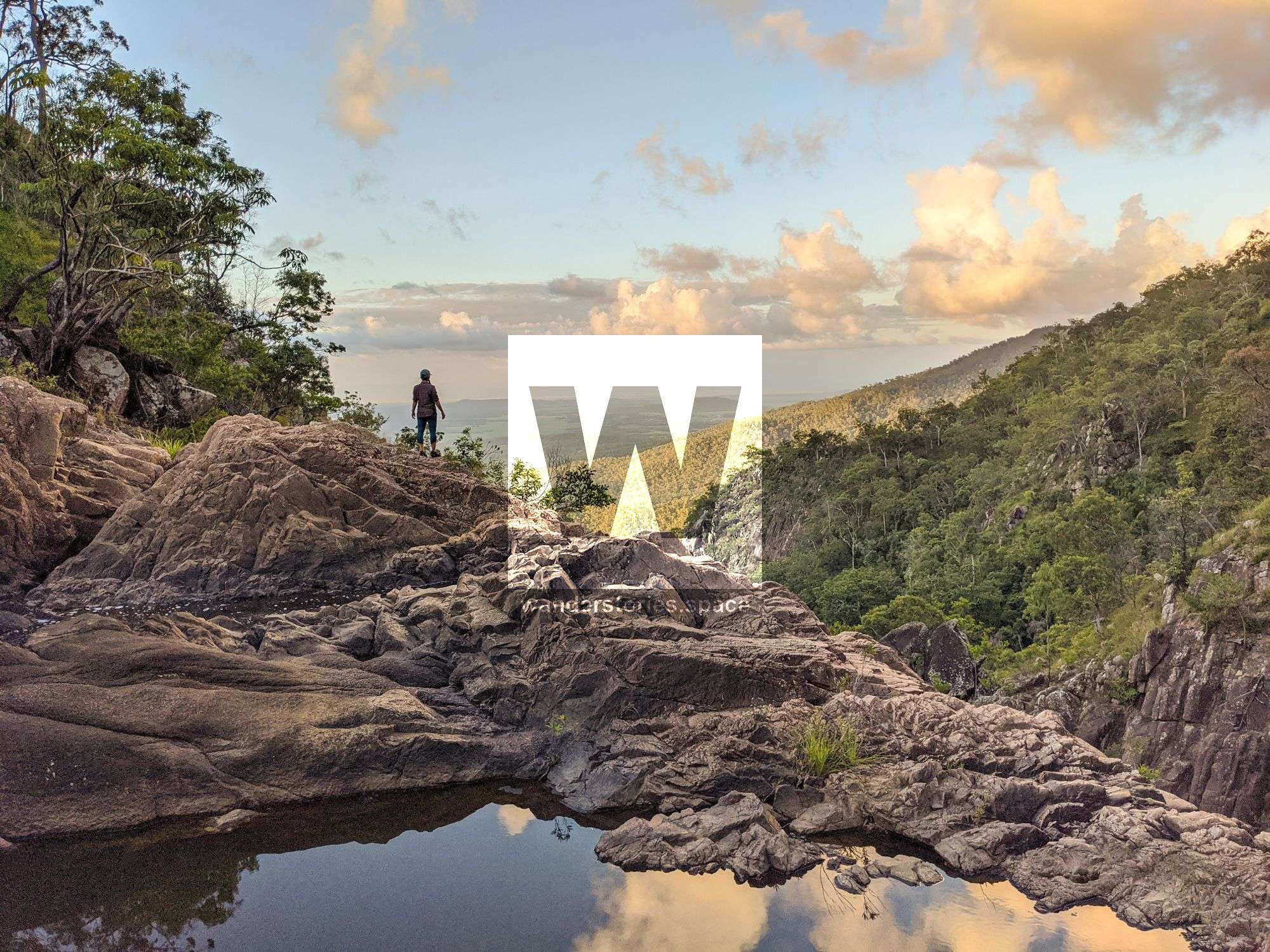
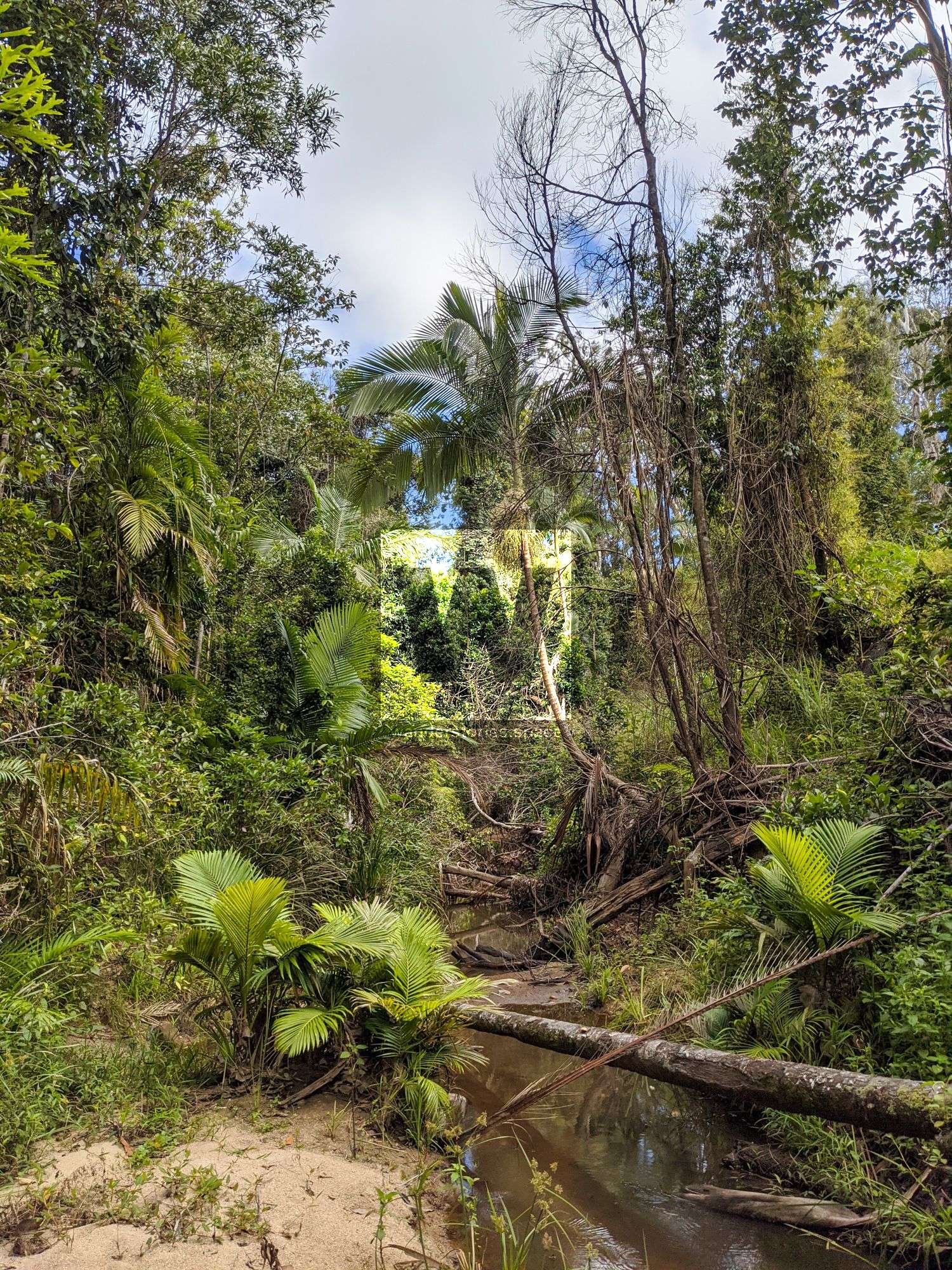
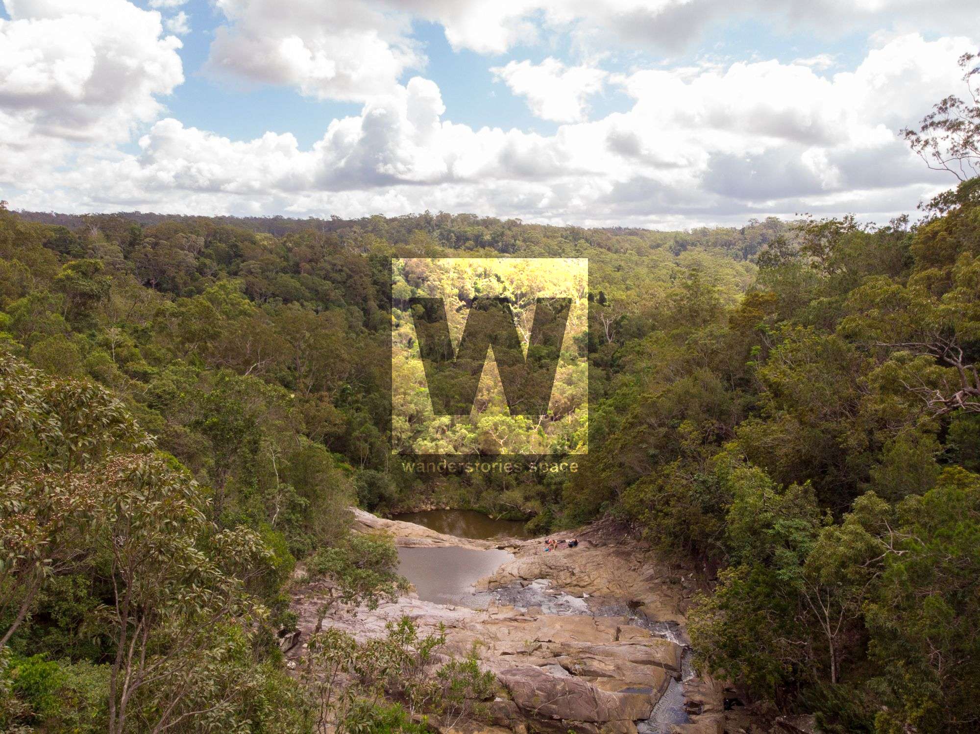
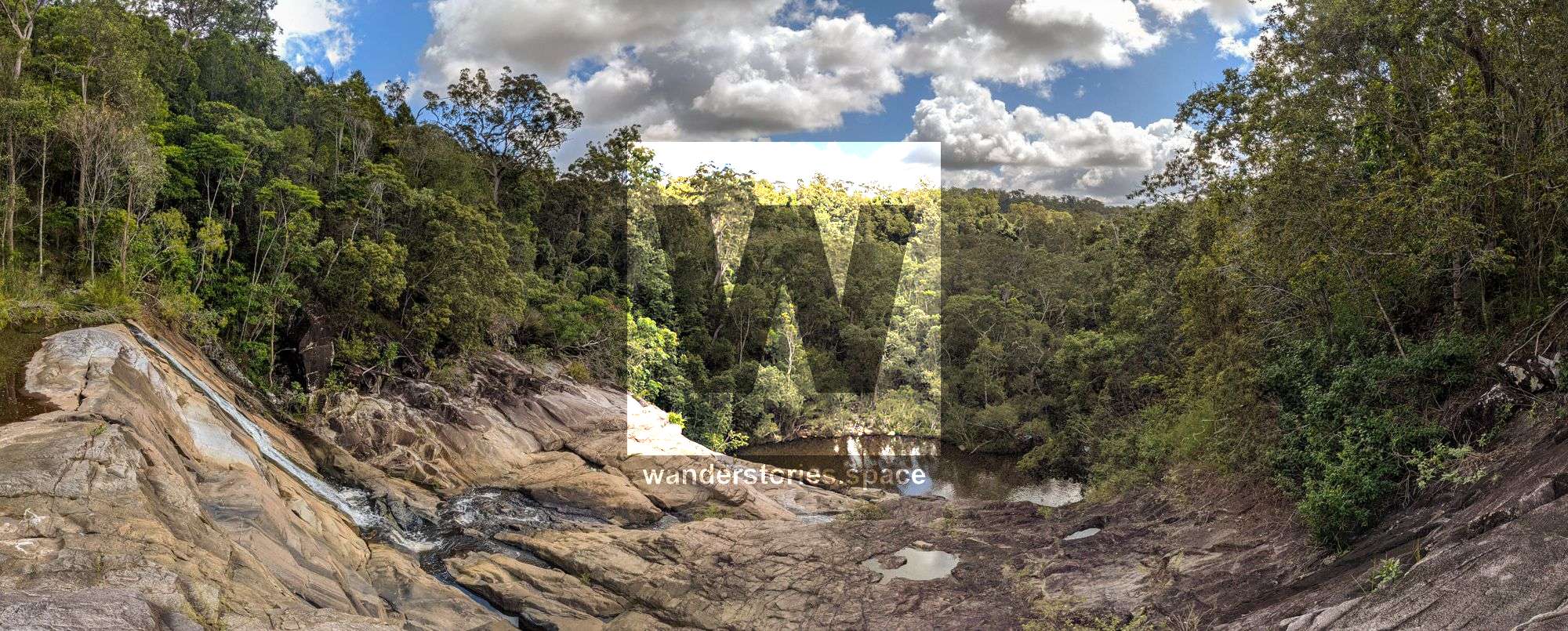
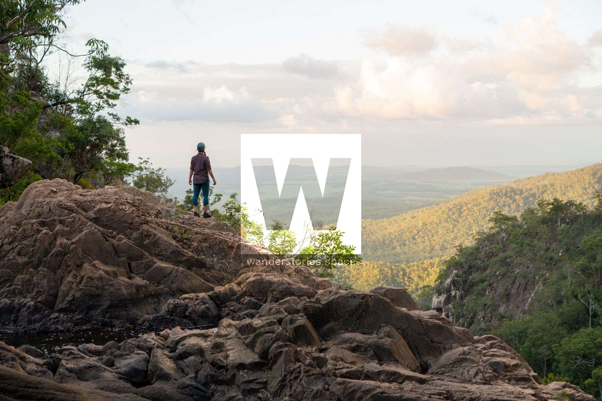
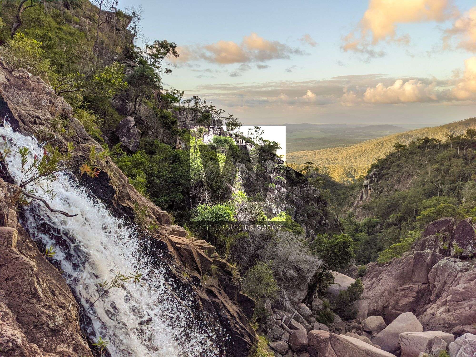
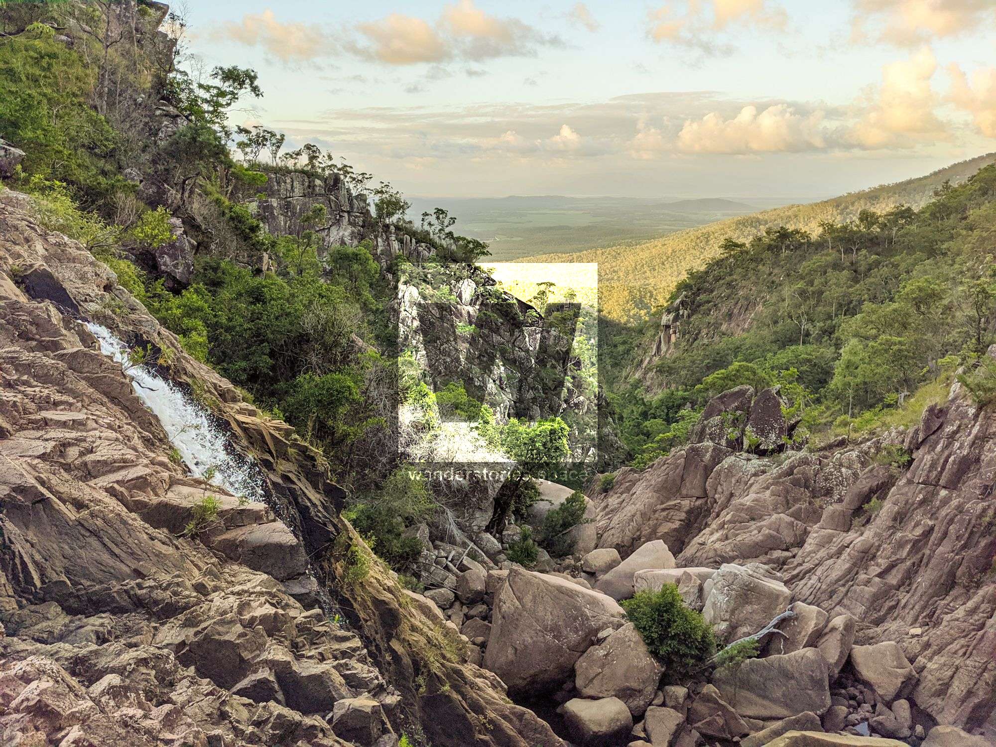
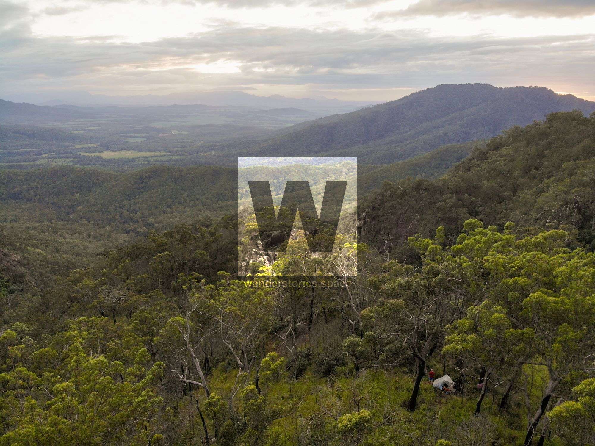
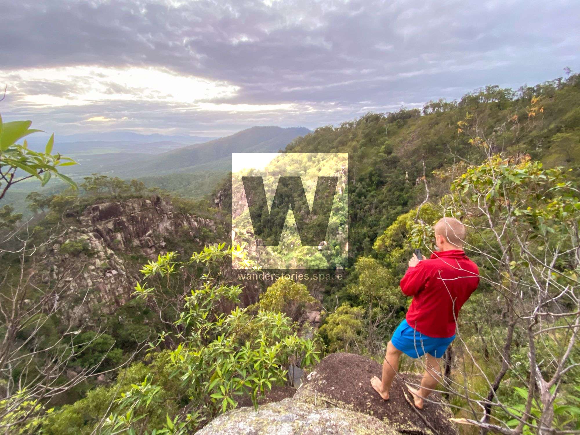
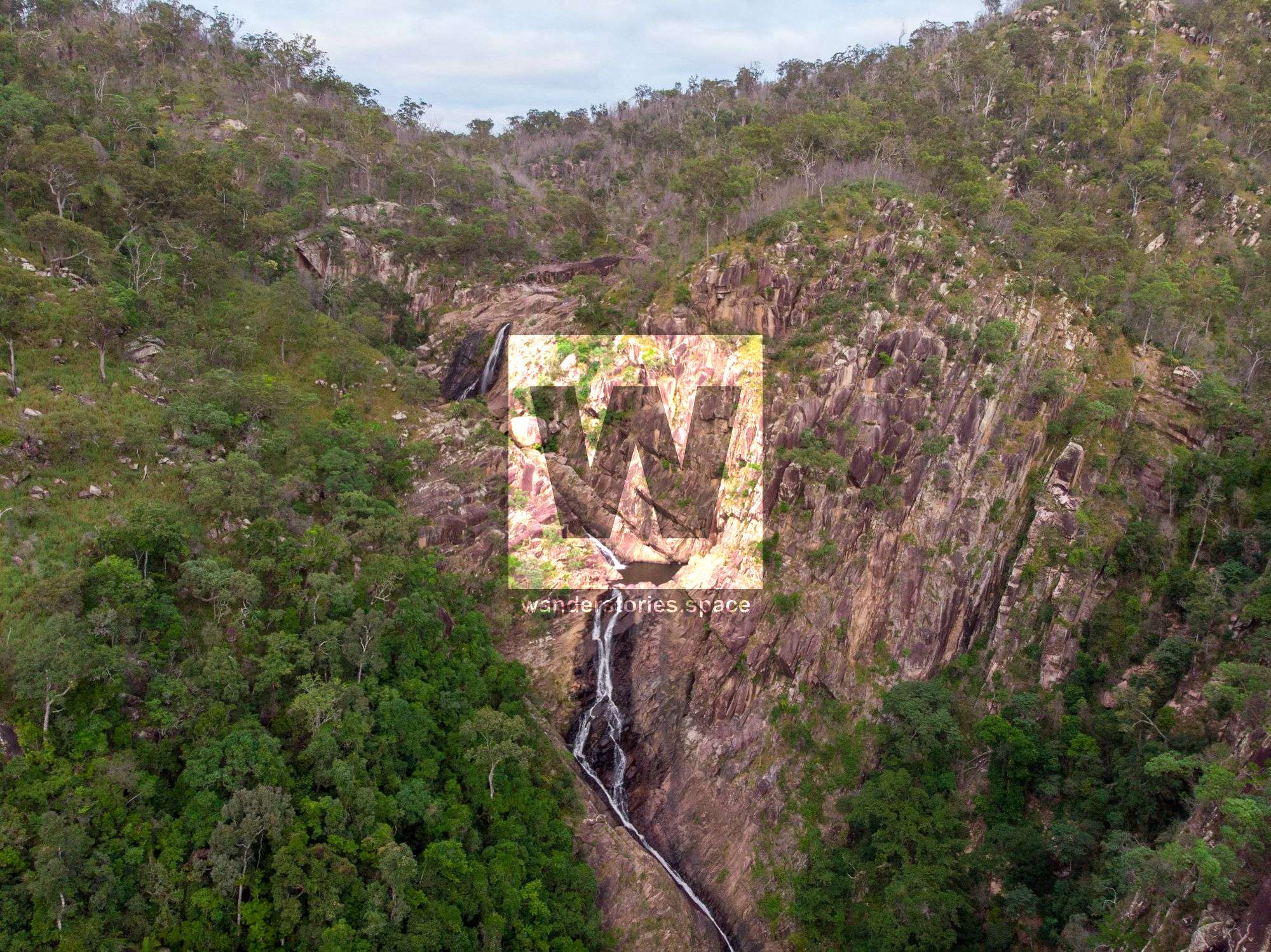
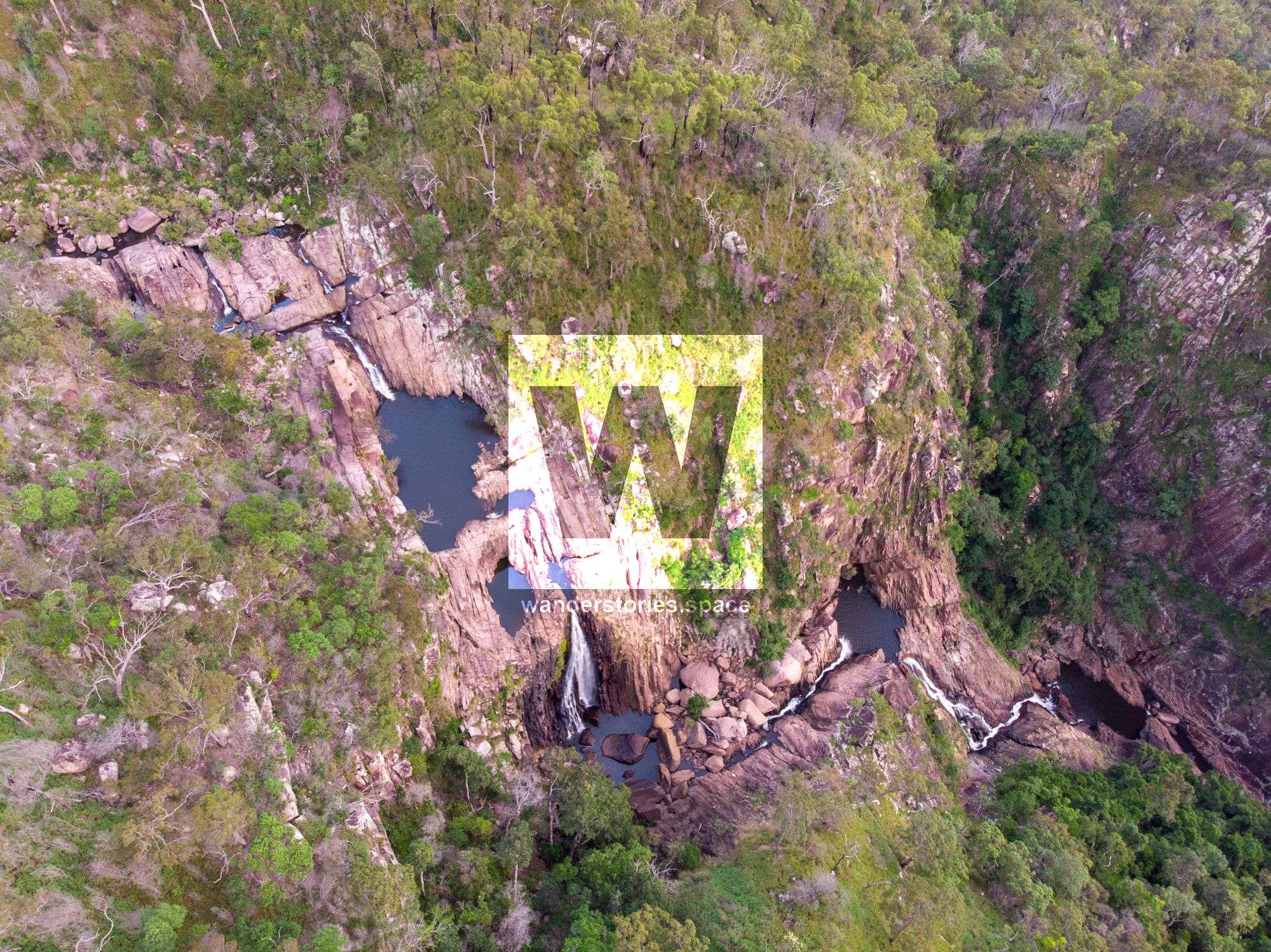
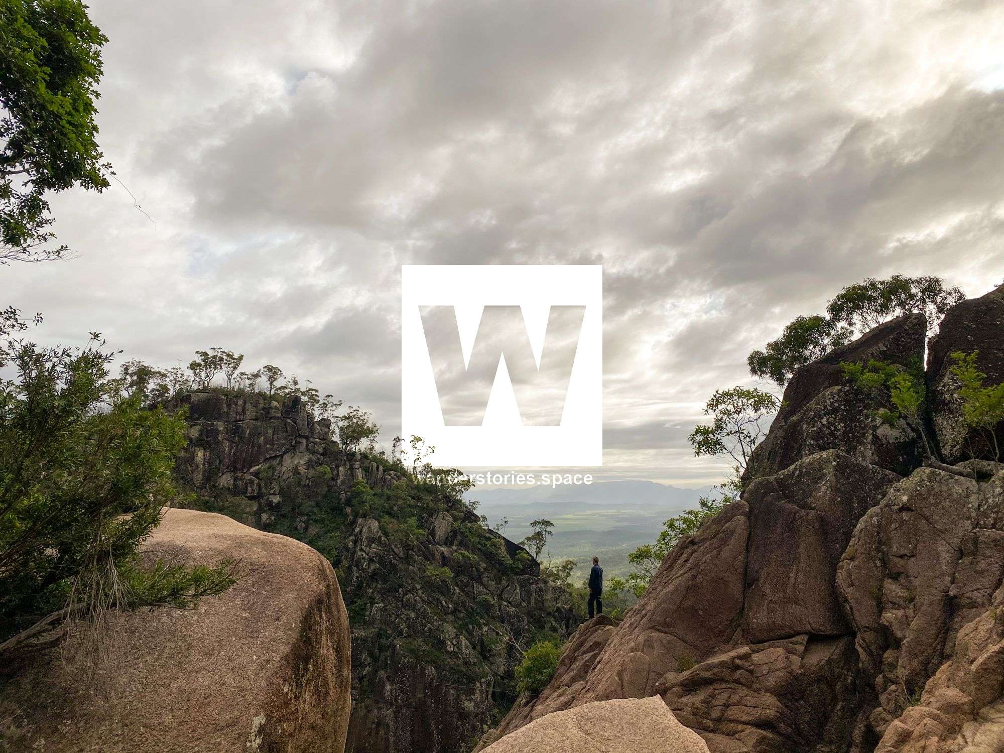
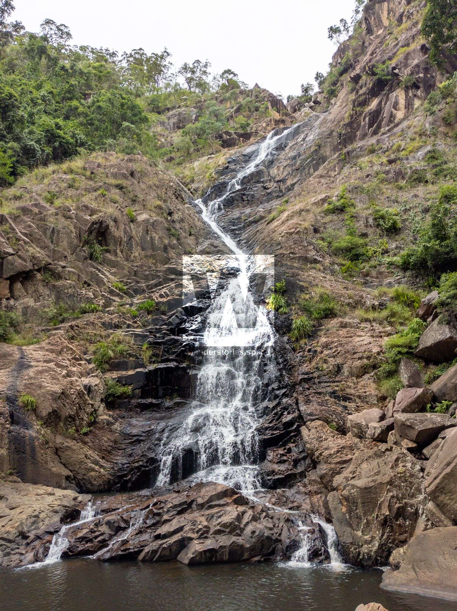
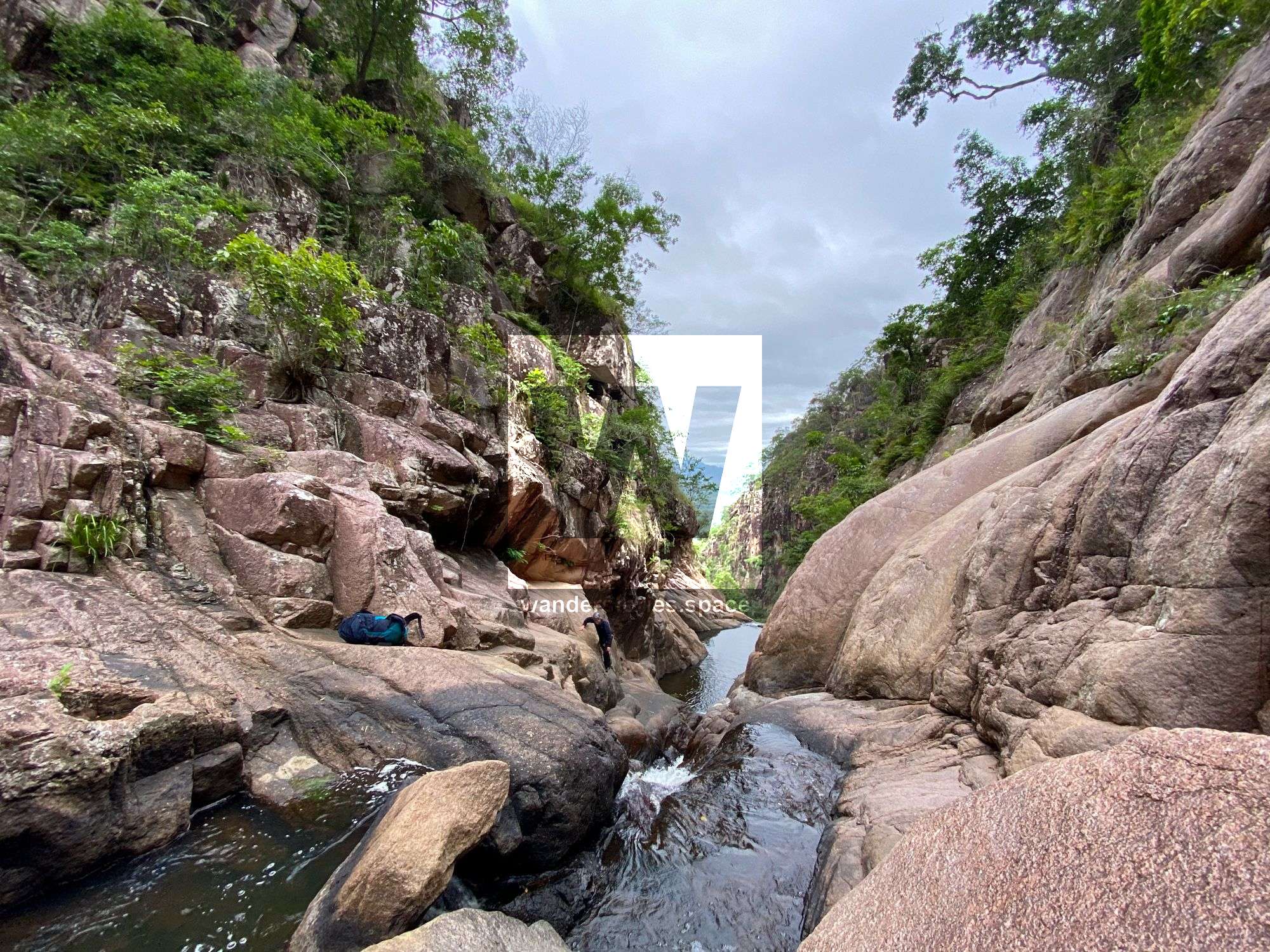
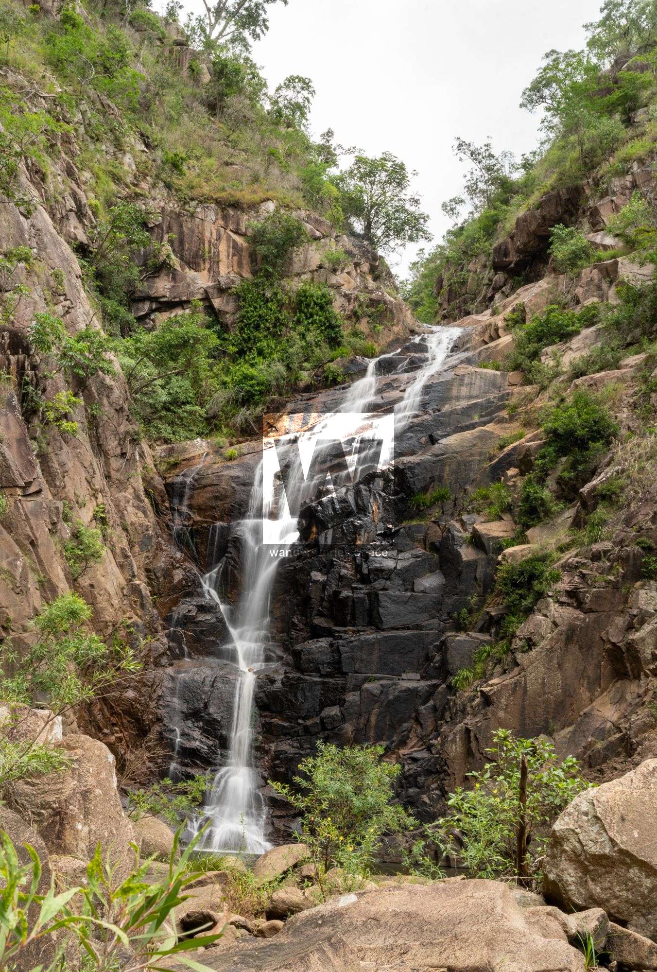
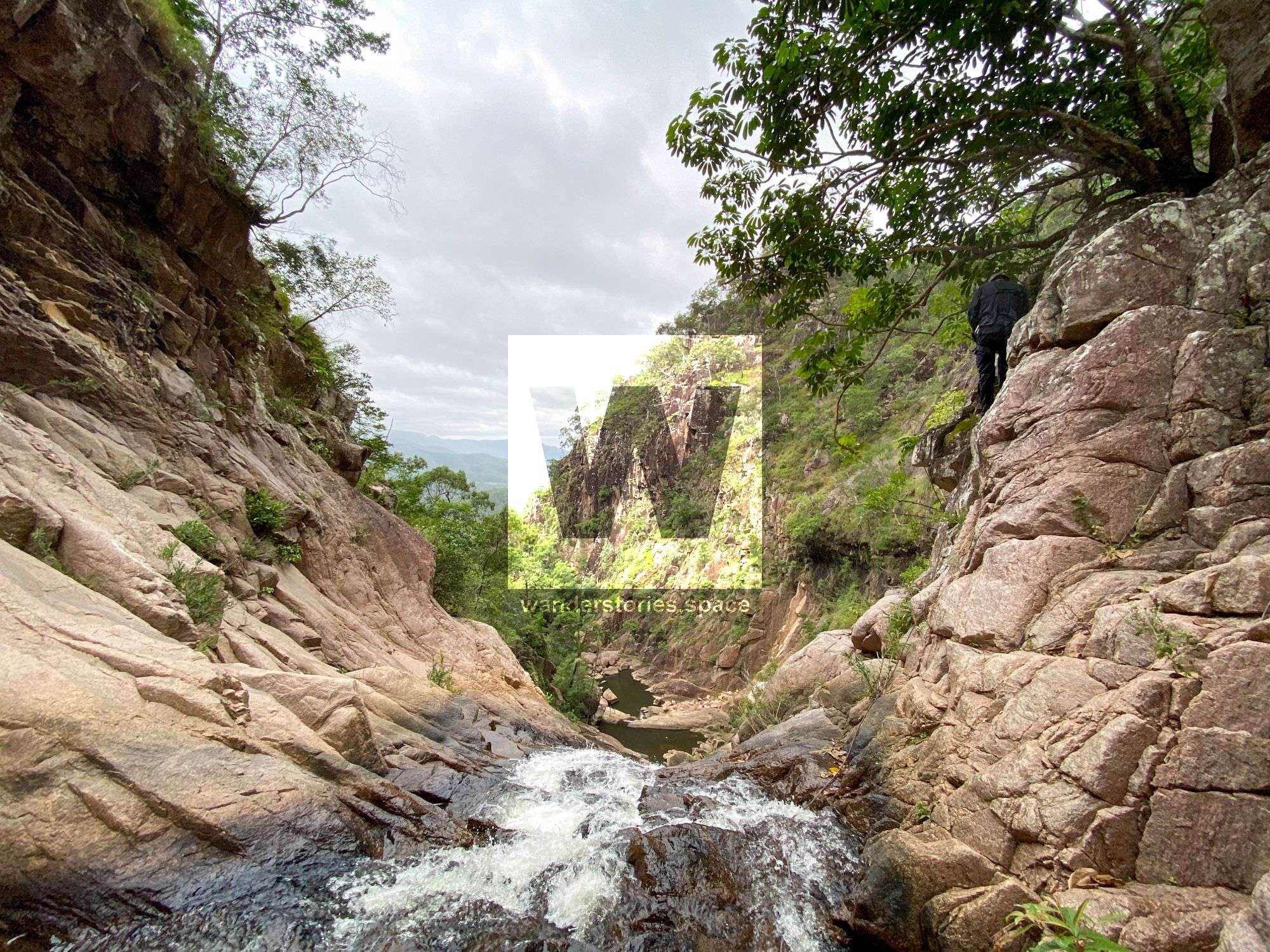
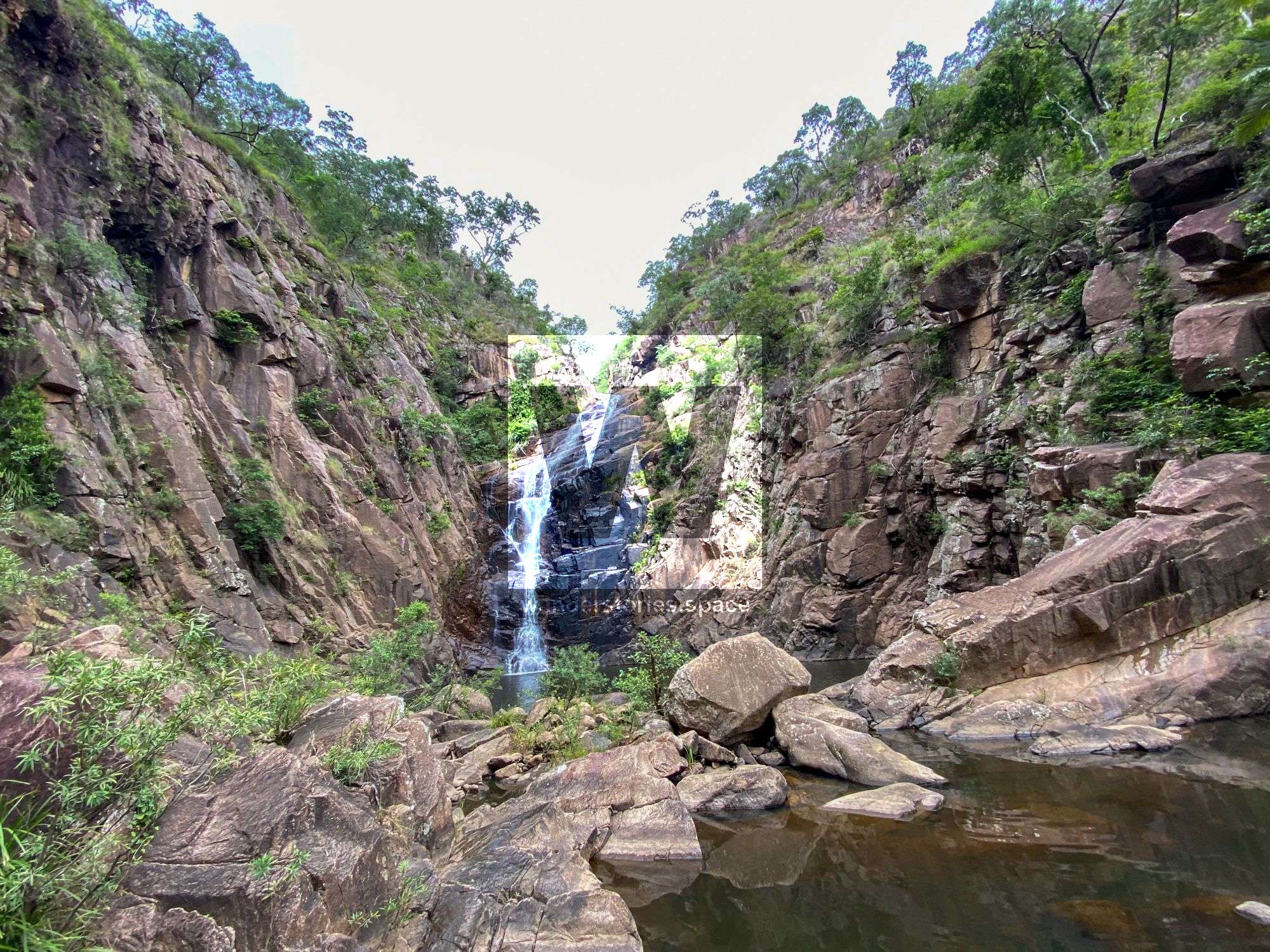
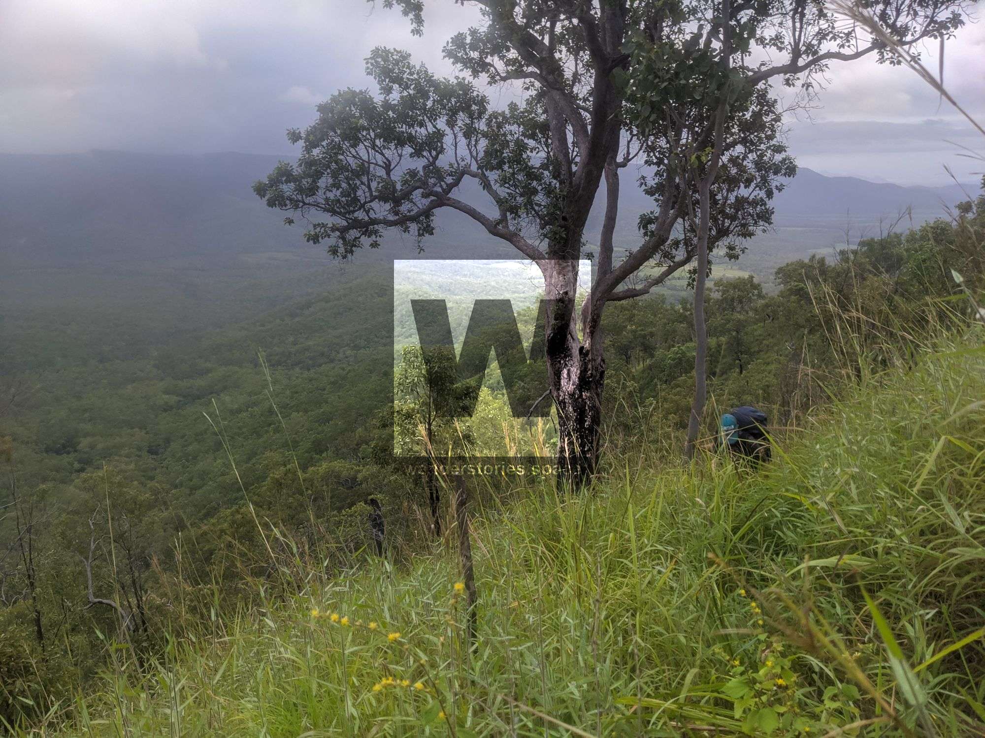
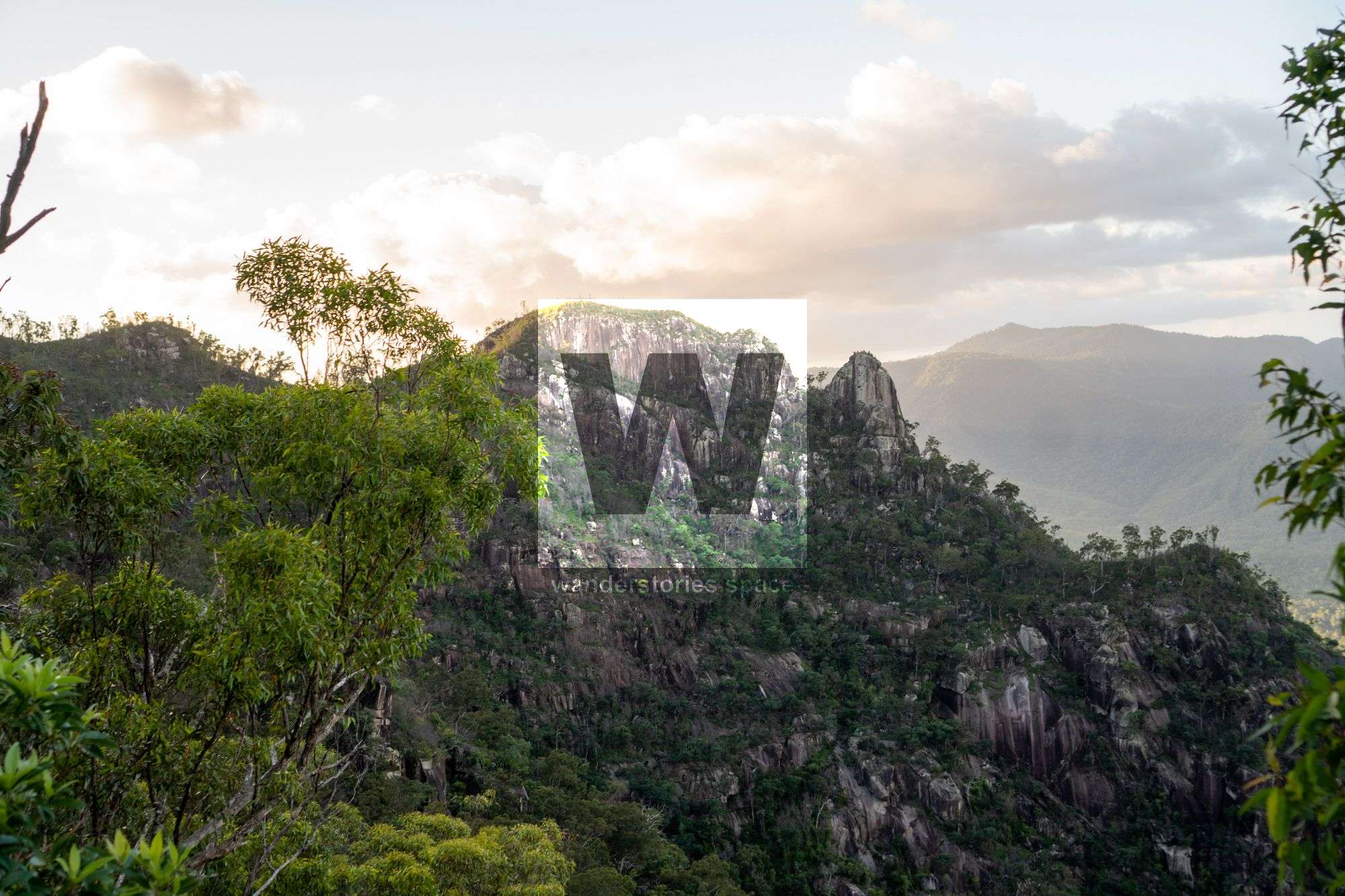
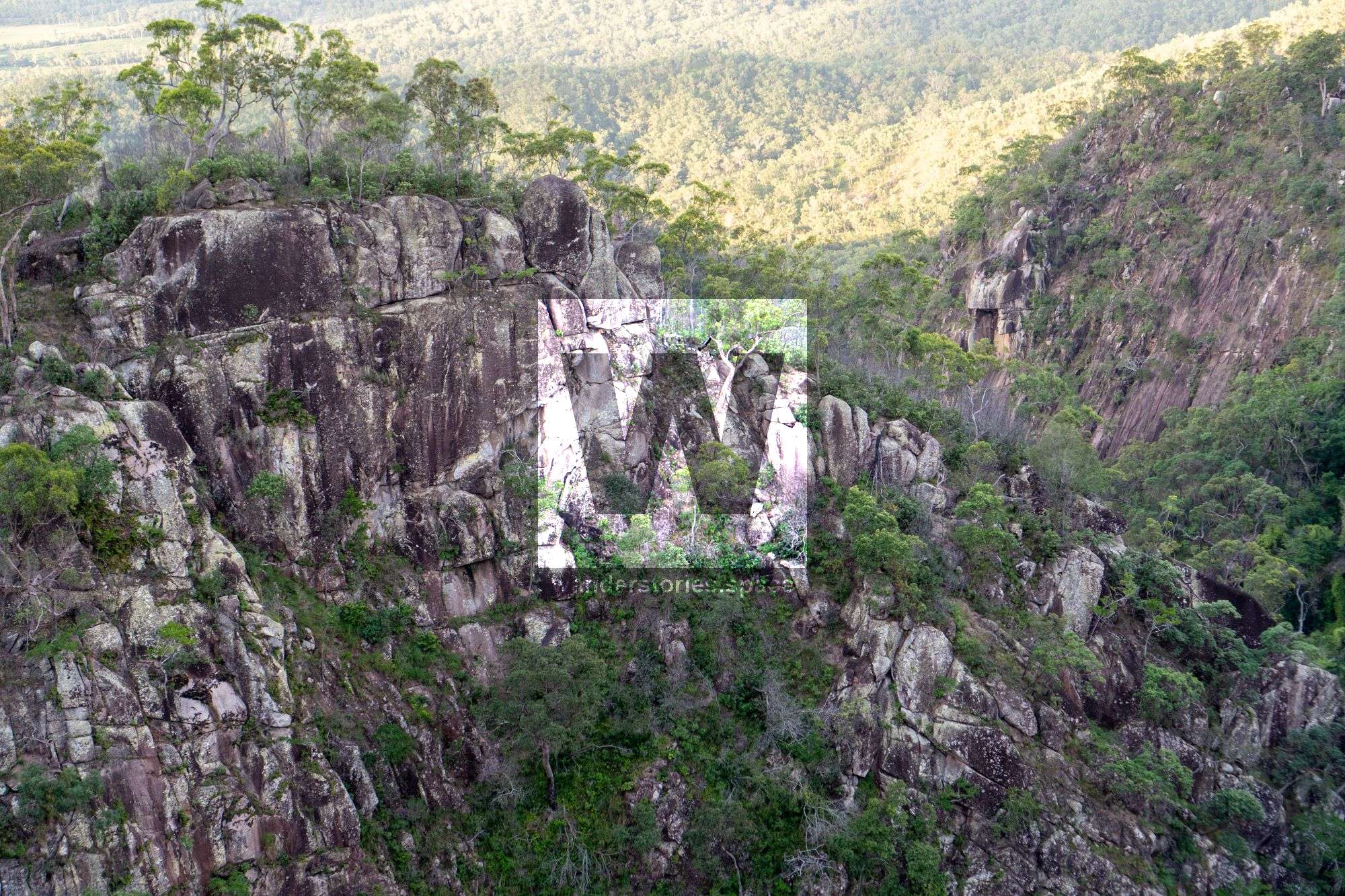
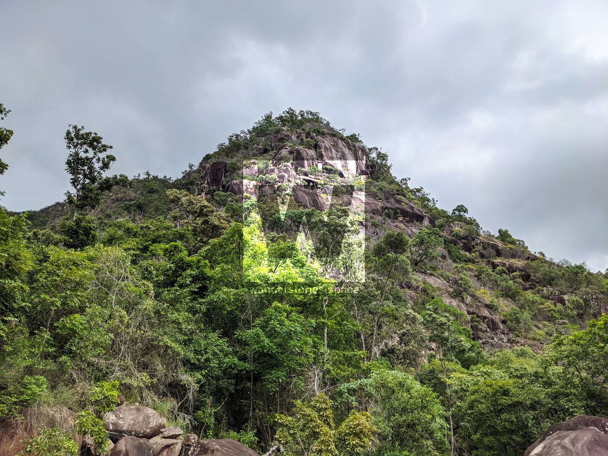
Disaster Falls is a remote gem but its a mission to get to. The large drop off the range and the gorges make for a picturesque place to appreciate nature.

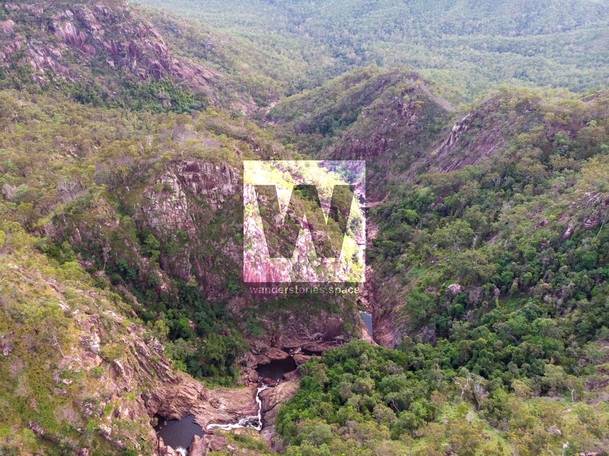
Disaster Canyon
Location - Girringun National Park, North Queensland, Australia
Approach Difficulty - Grade 5 (AWTGS)
Grade - V4 A1 III (French Grading System)
Total Distance - Approximately 20 km
Total Time - Two days
Approach - 6-10 hours
Descent - 2-4 hours
Exit - 4-8 hours
Elevation loss - 500 m
Flash flooding level - Medium
Longest rappel - 80 m
First Descentists - Unknown
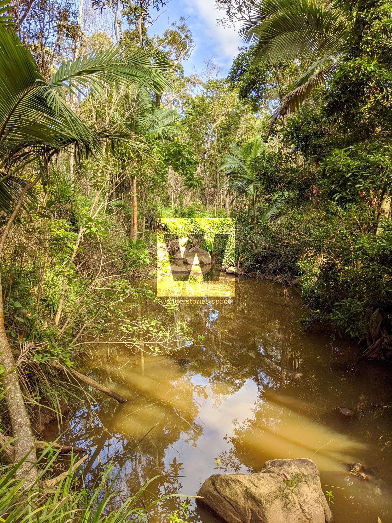
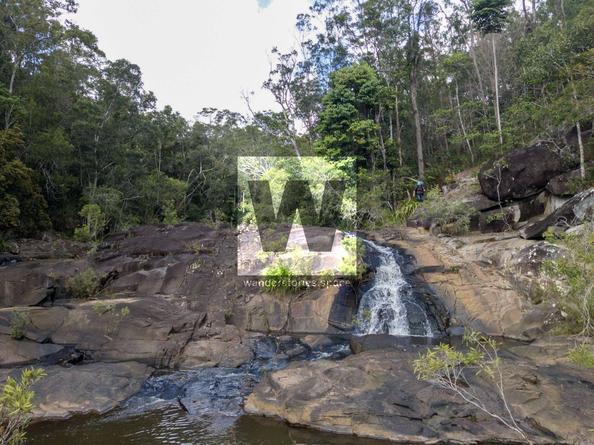
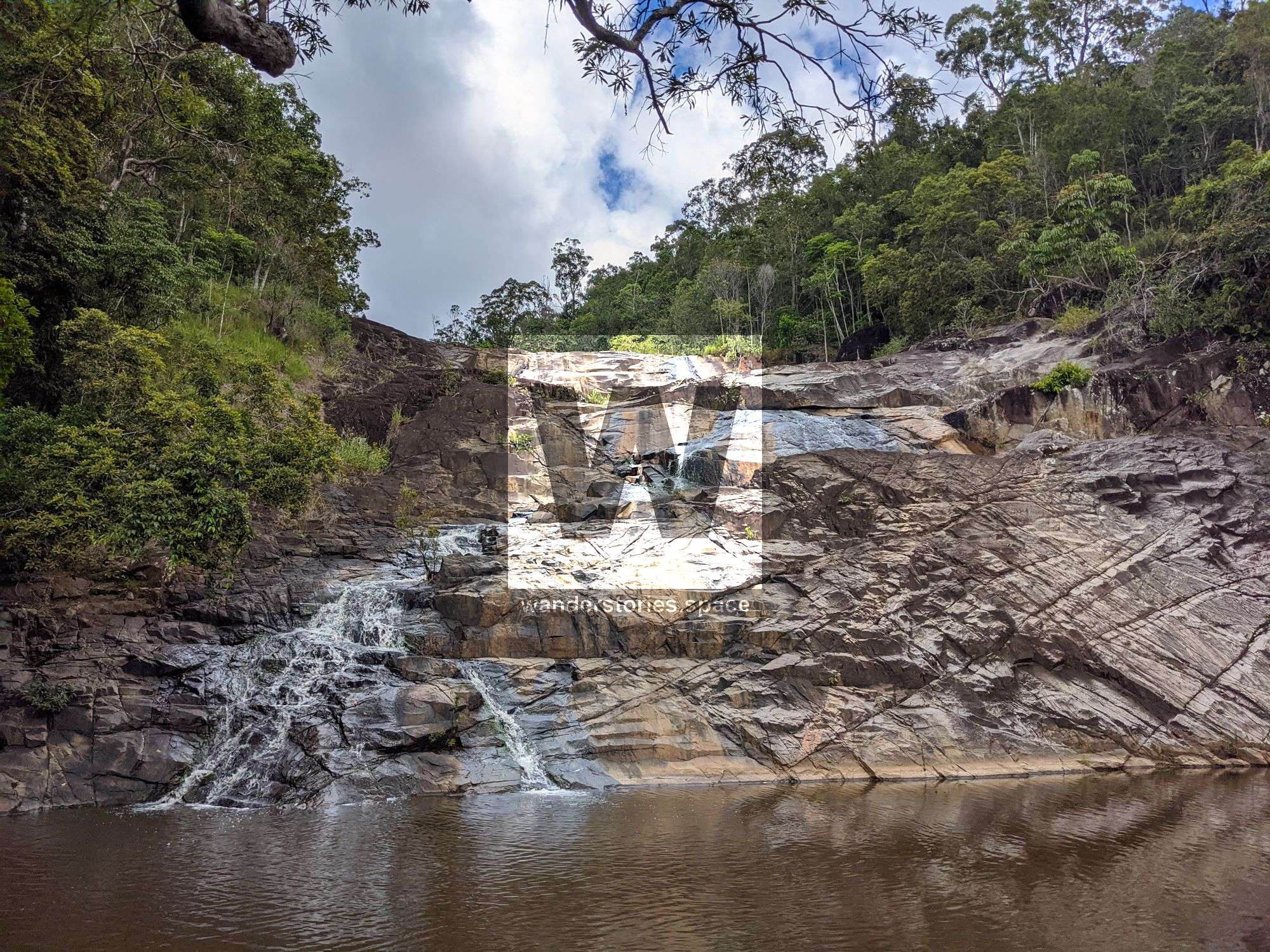
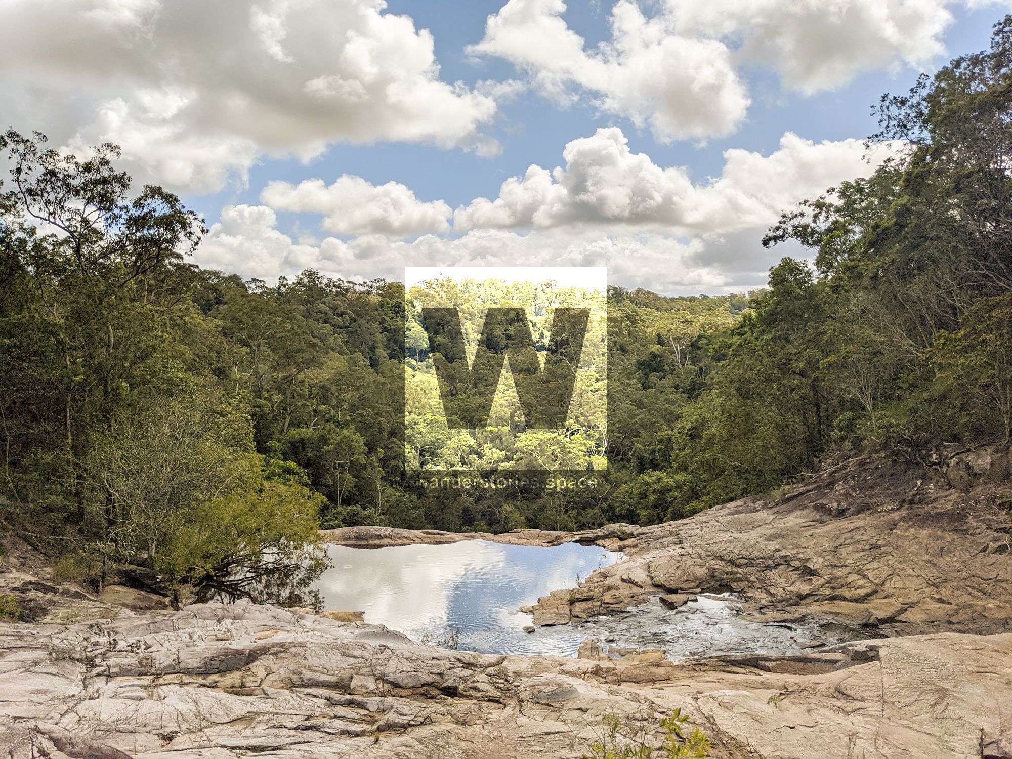
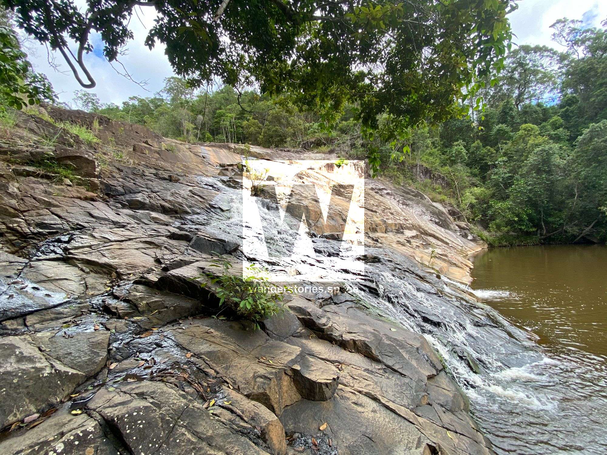
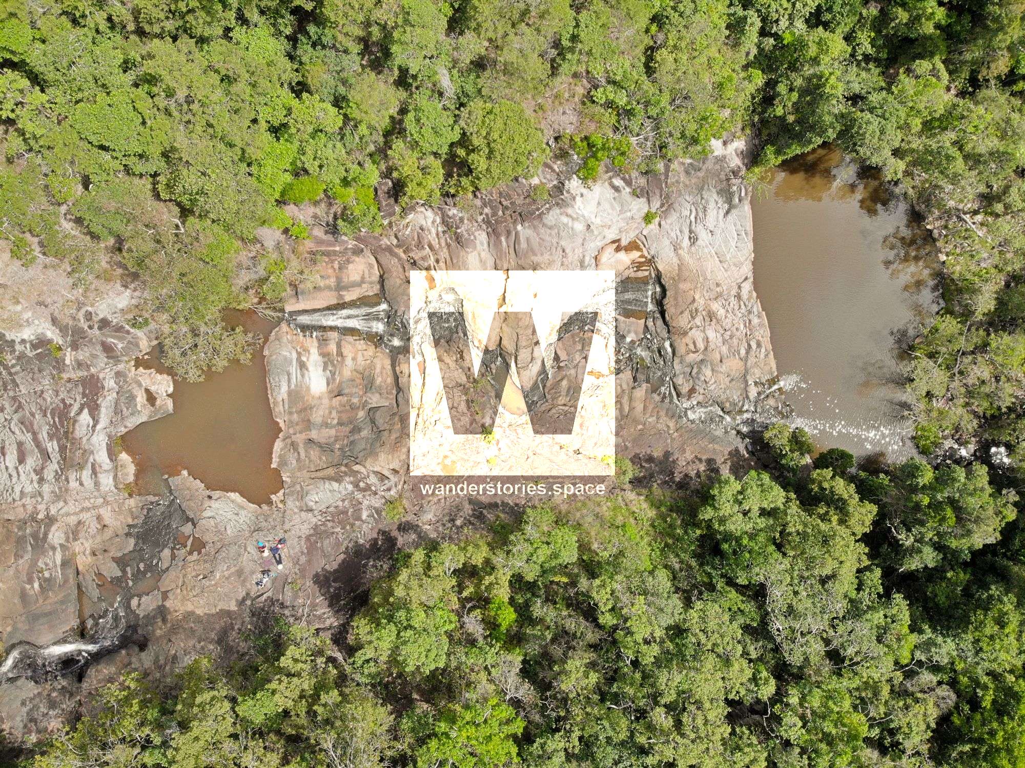
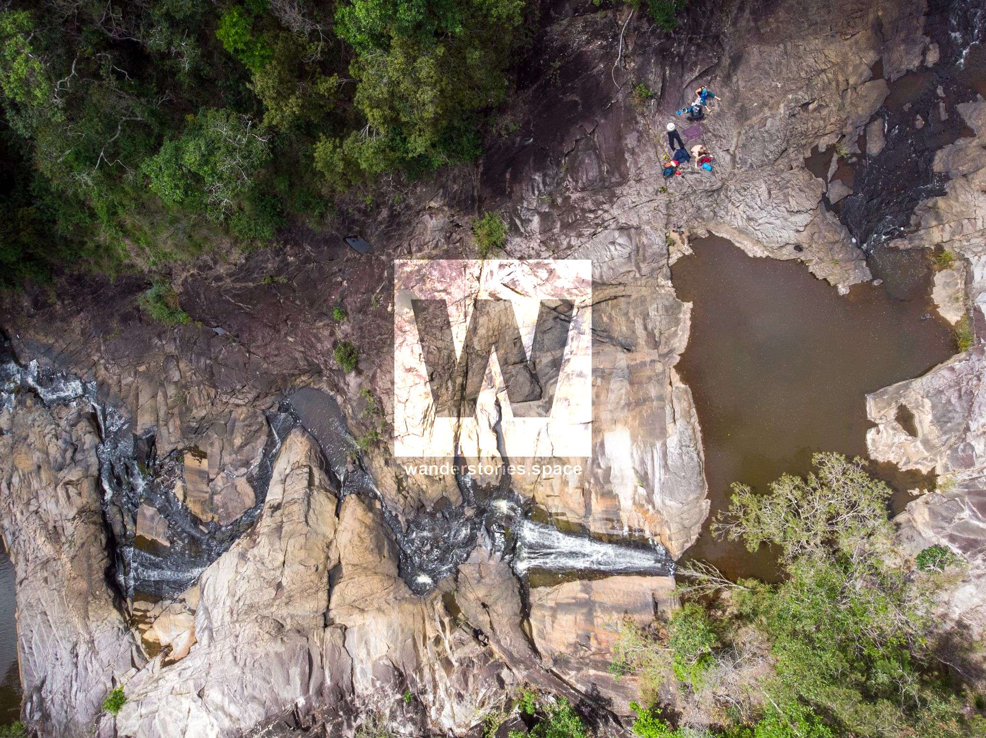
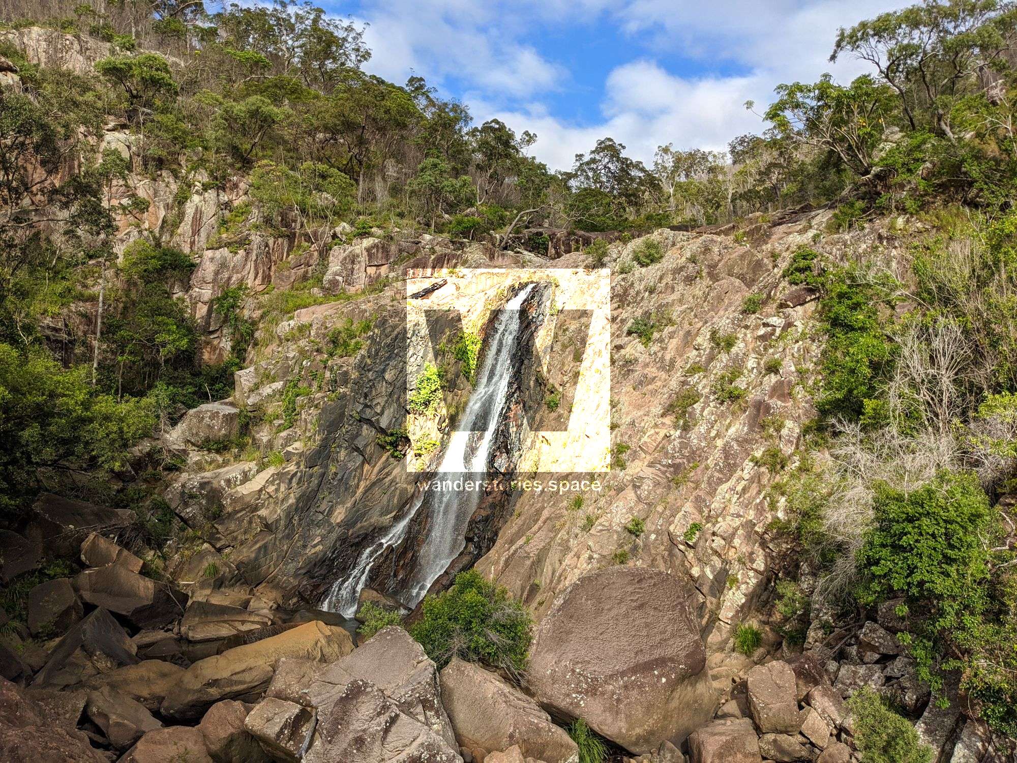
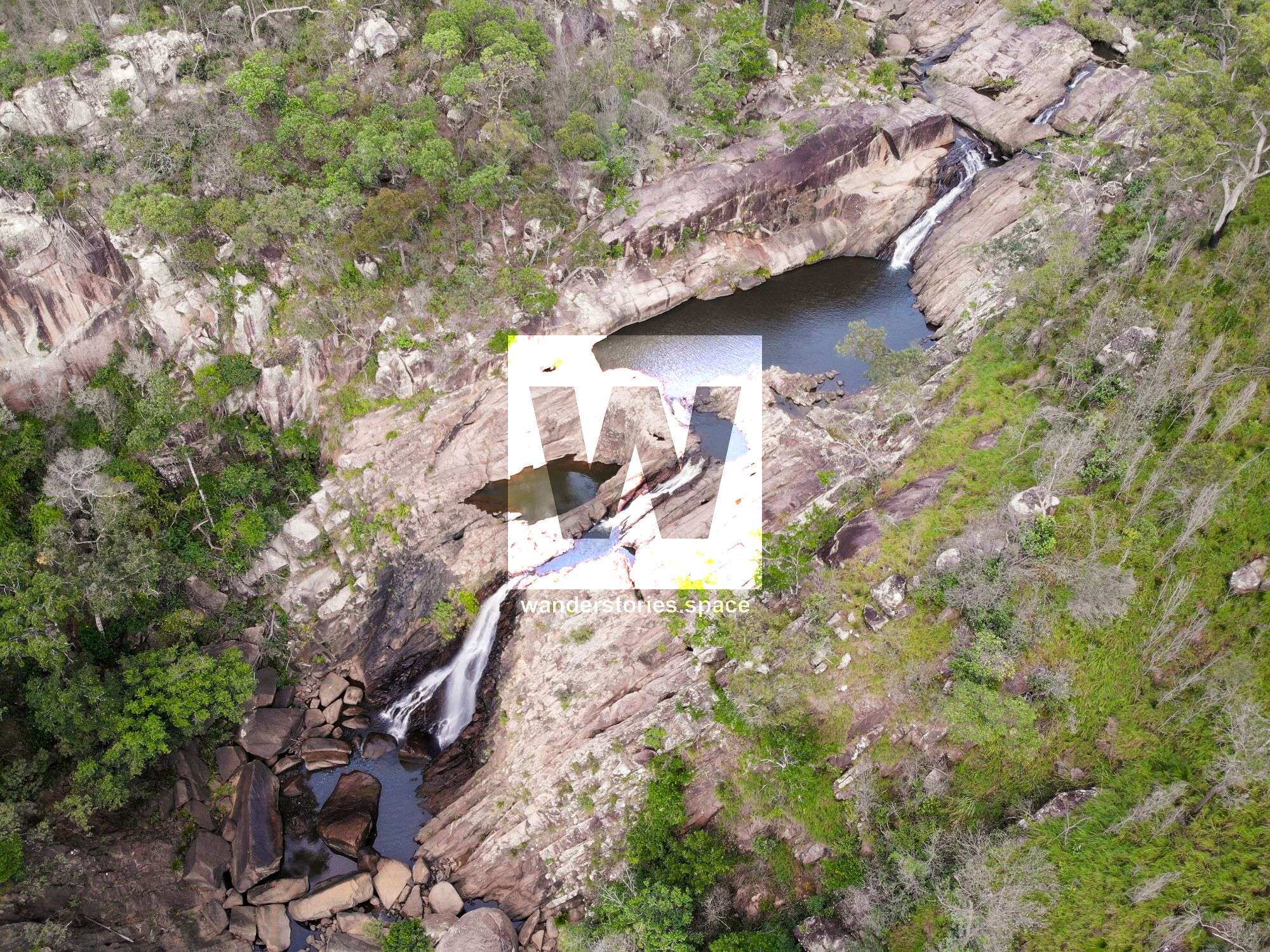
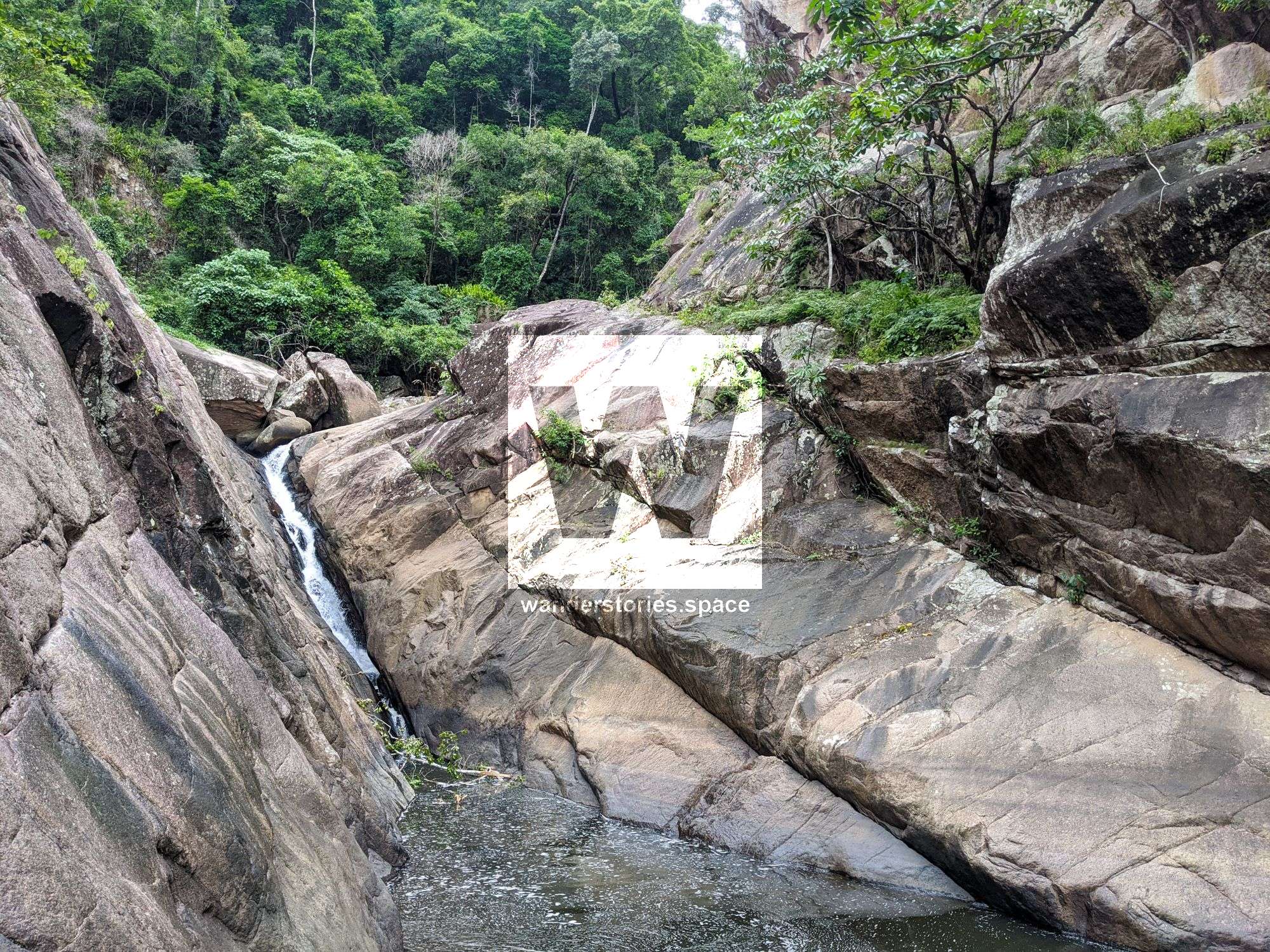
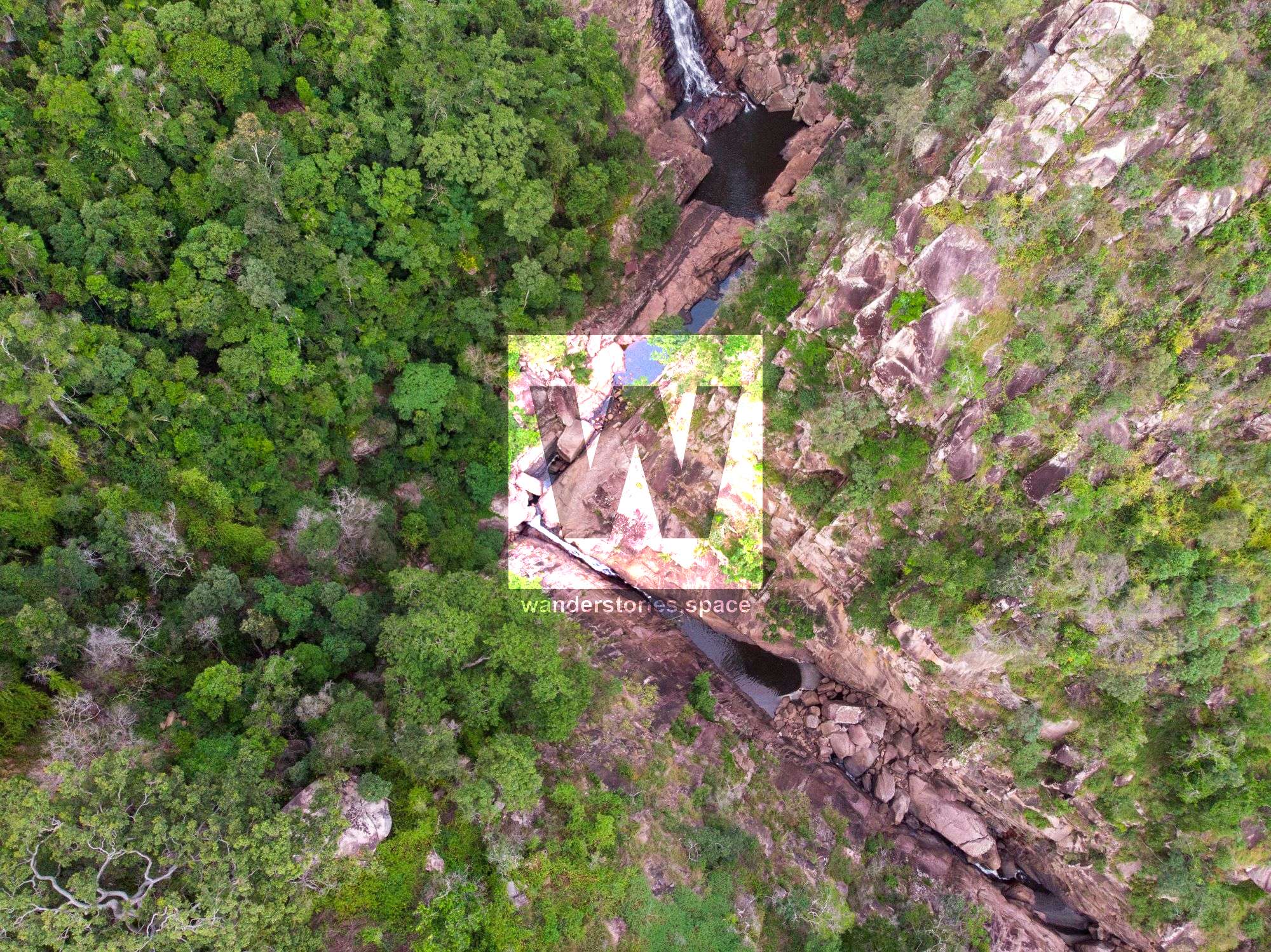
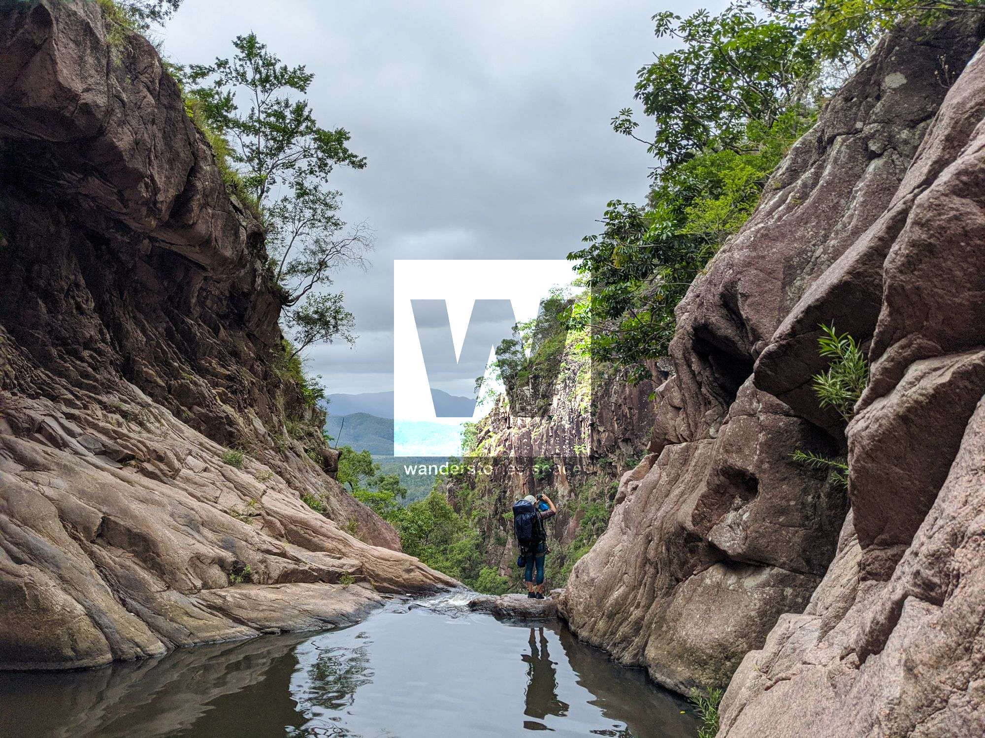
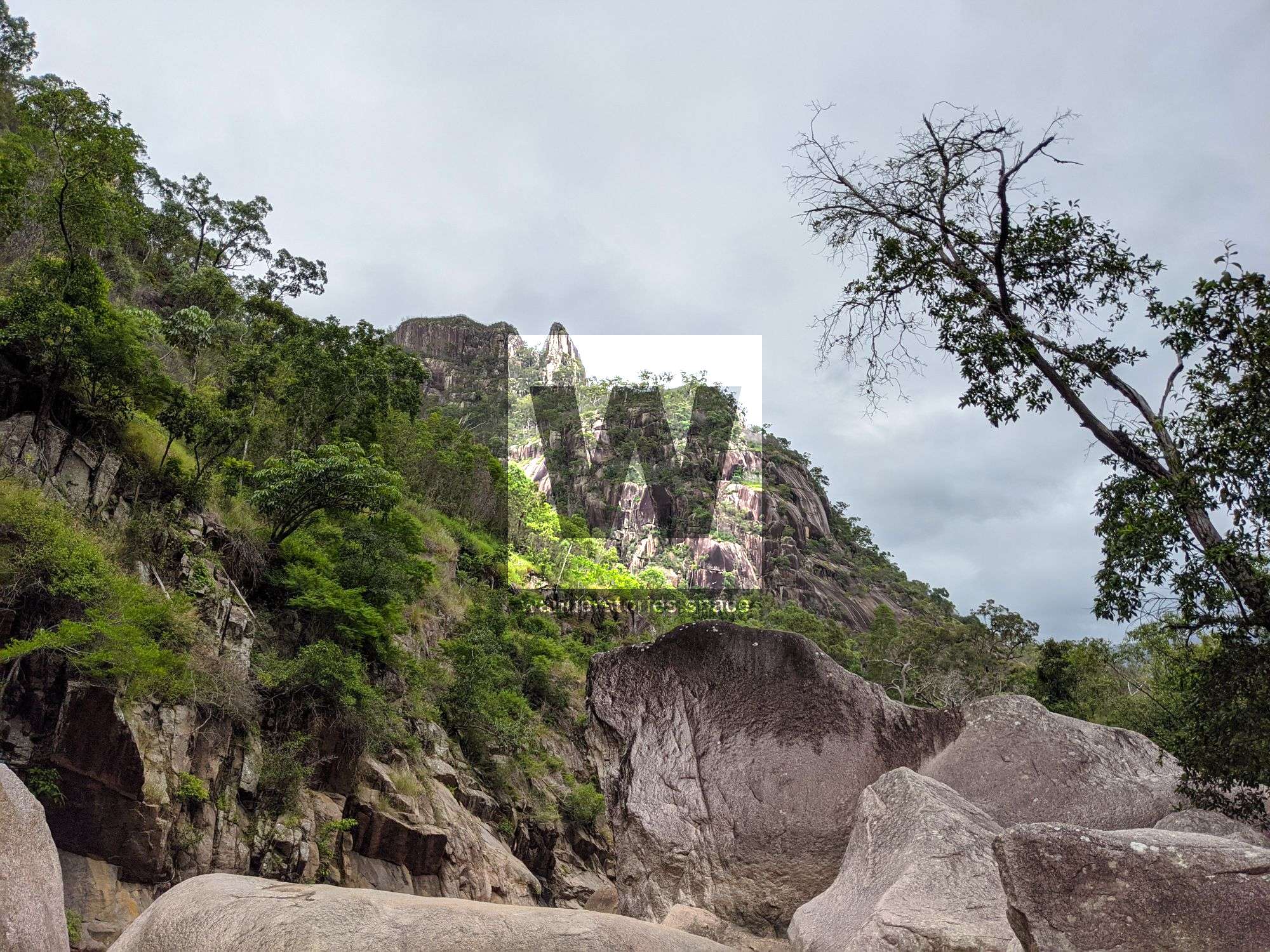
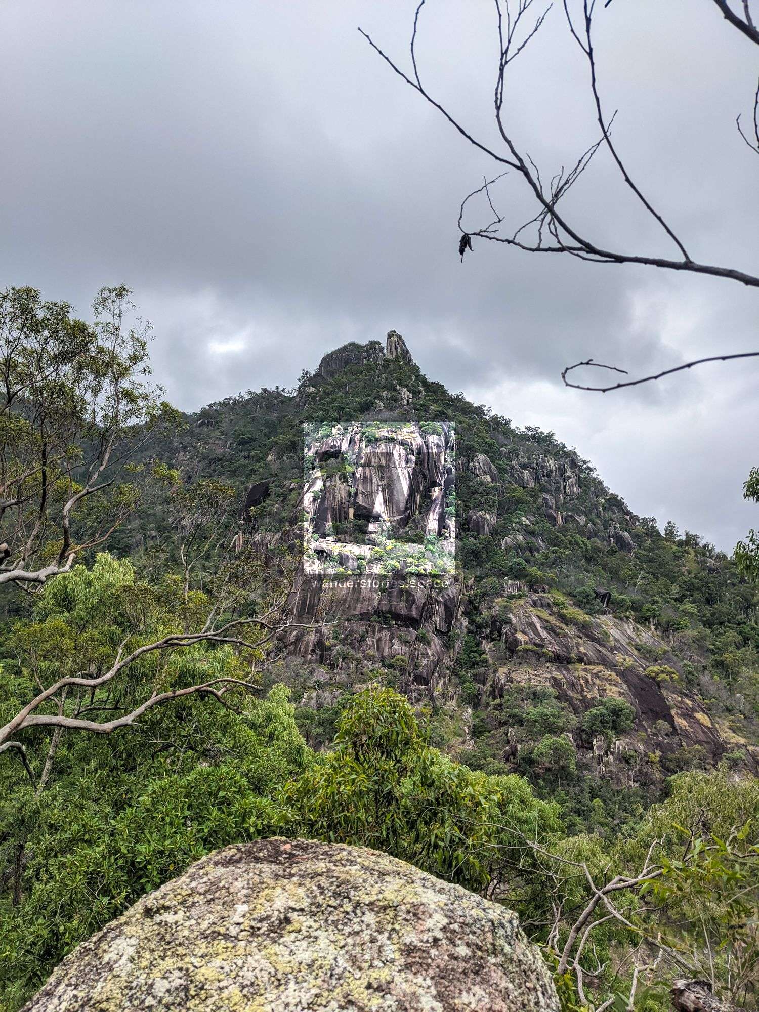
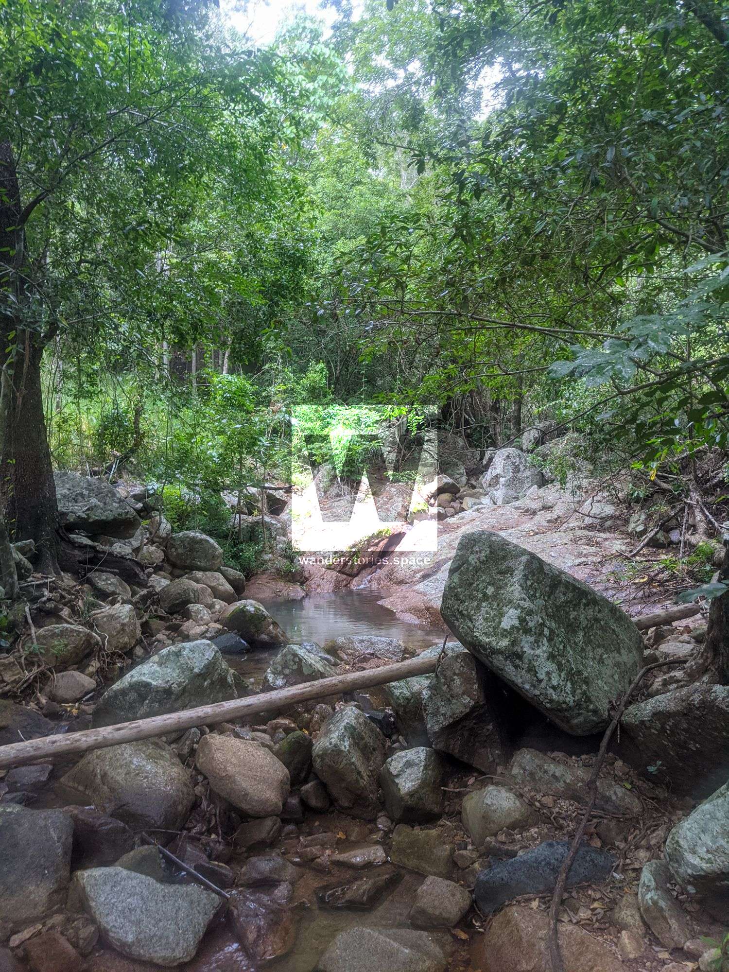
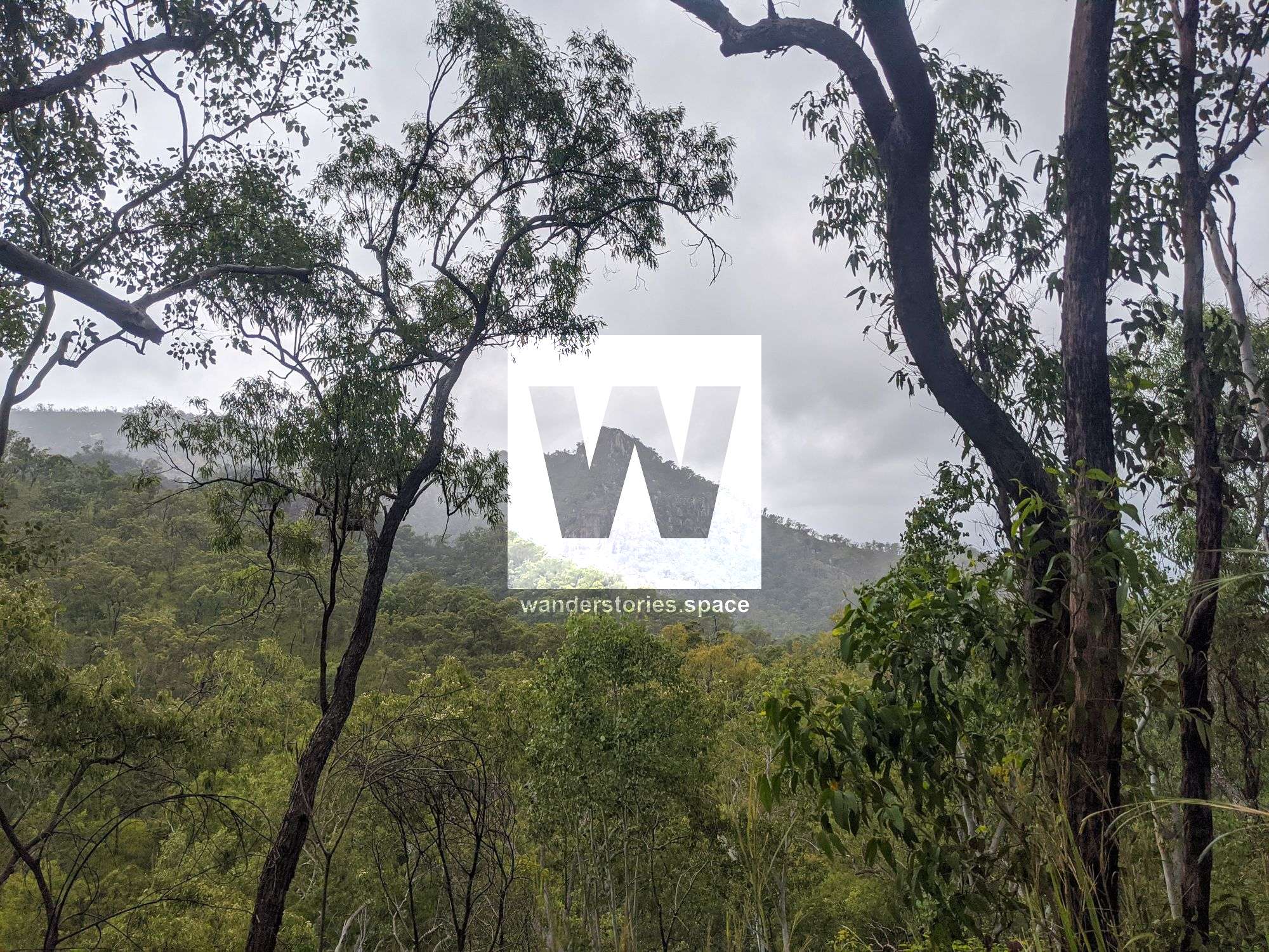
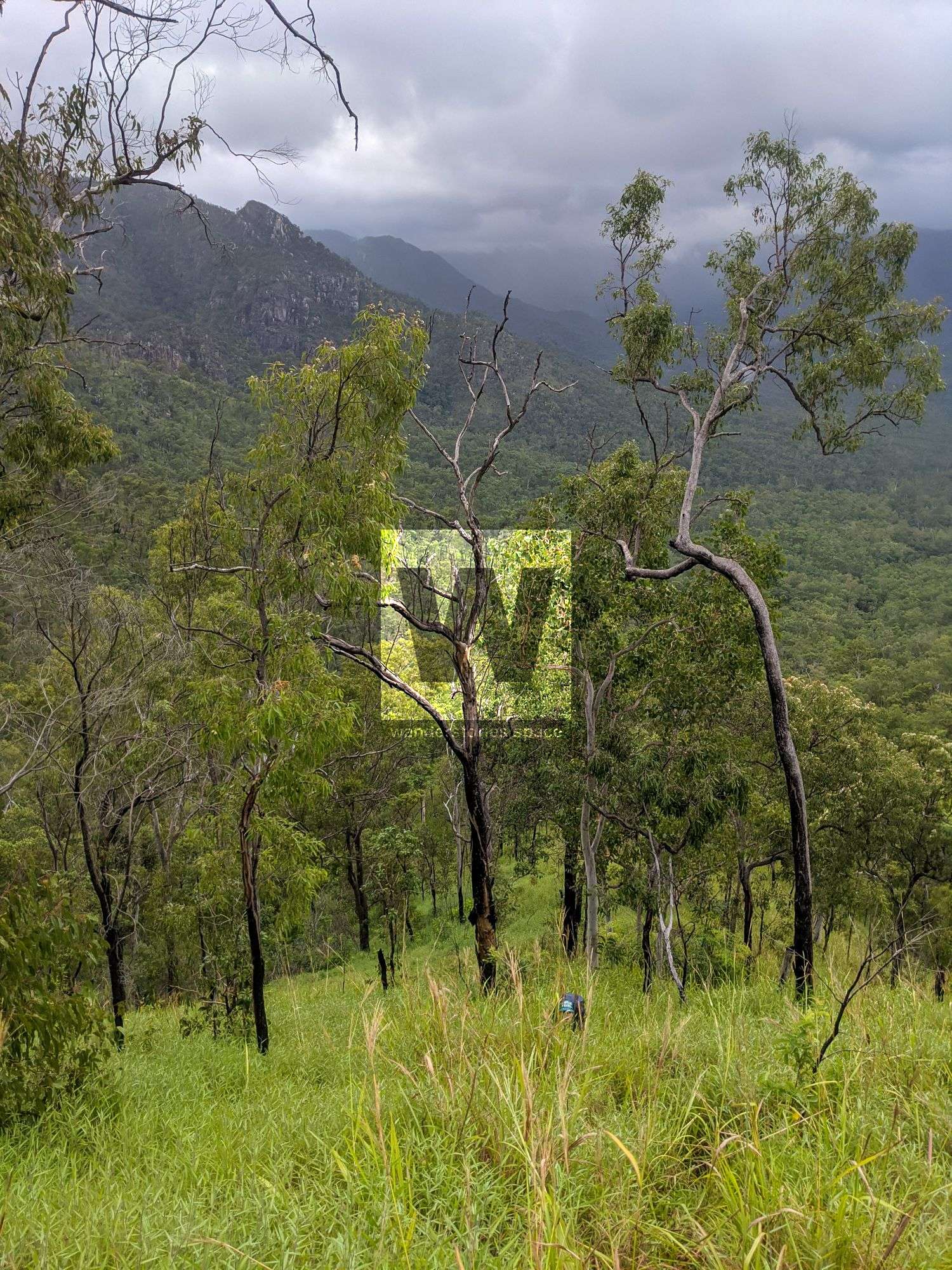
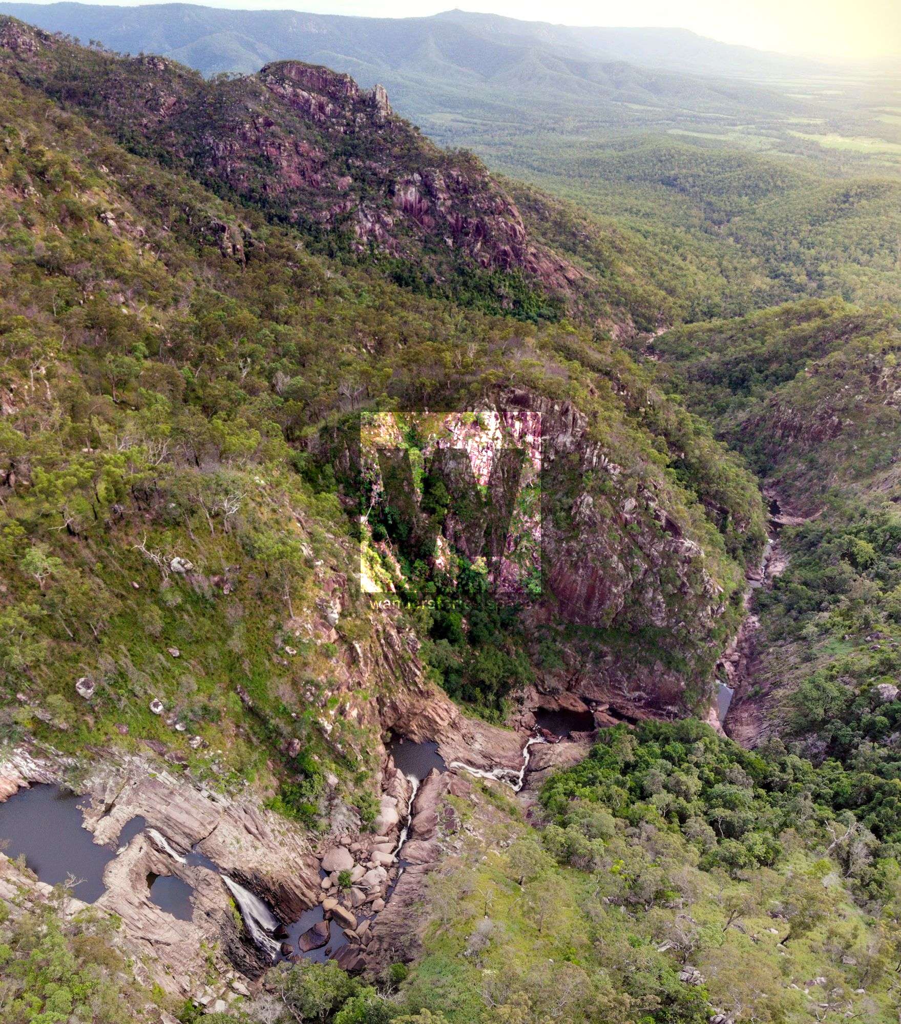
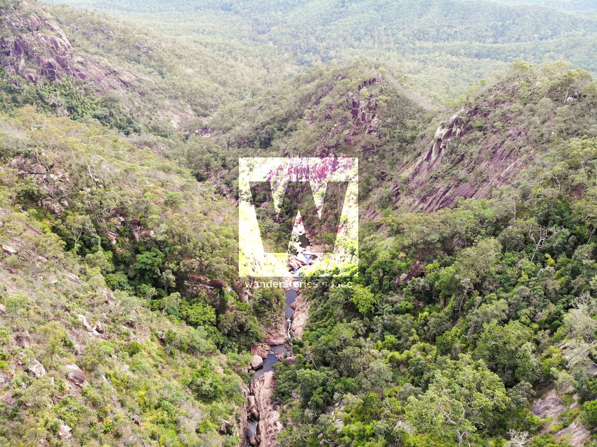
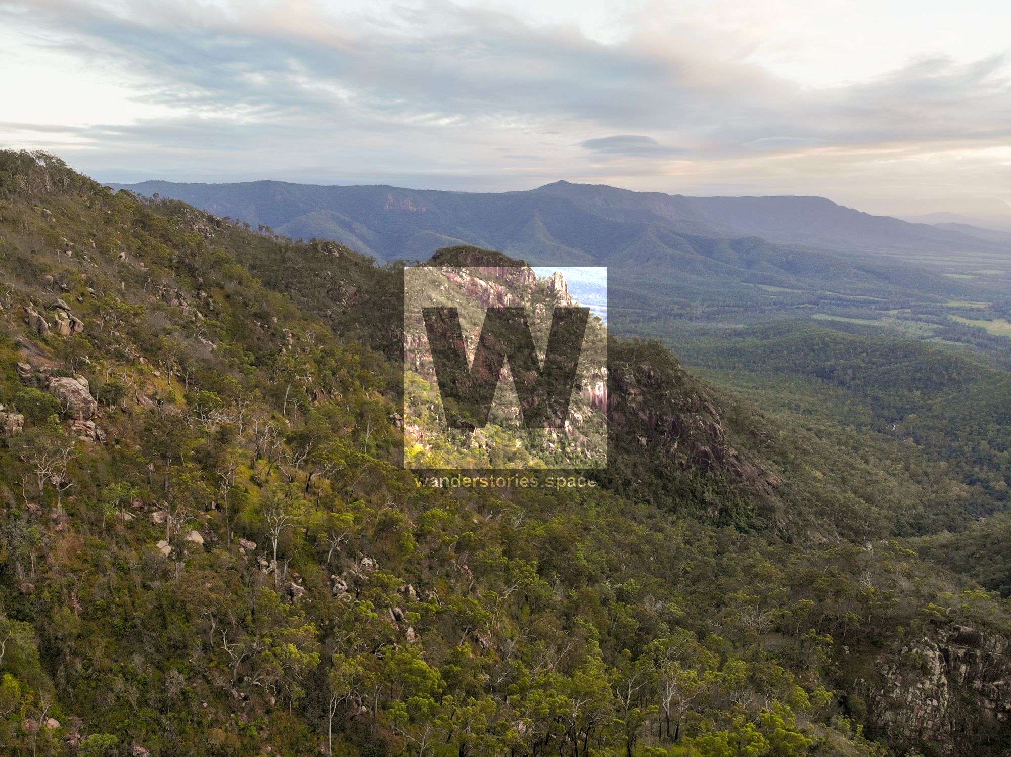
Disaster Creek Falls is a remote gem. The large drop off the range and the gorges make for a picturesque place to spend some time. Some parts of the rocks are solid granite and others are decomposing granite. Be aware of the risks of landslides and rockfall hazards. Glimpses of giant granite boulders and cliffs on the ridgeline over.
Interactive Map
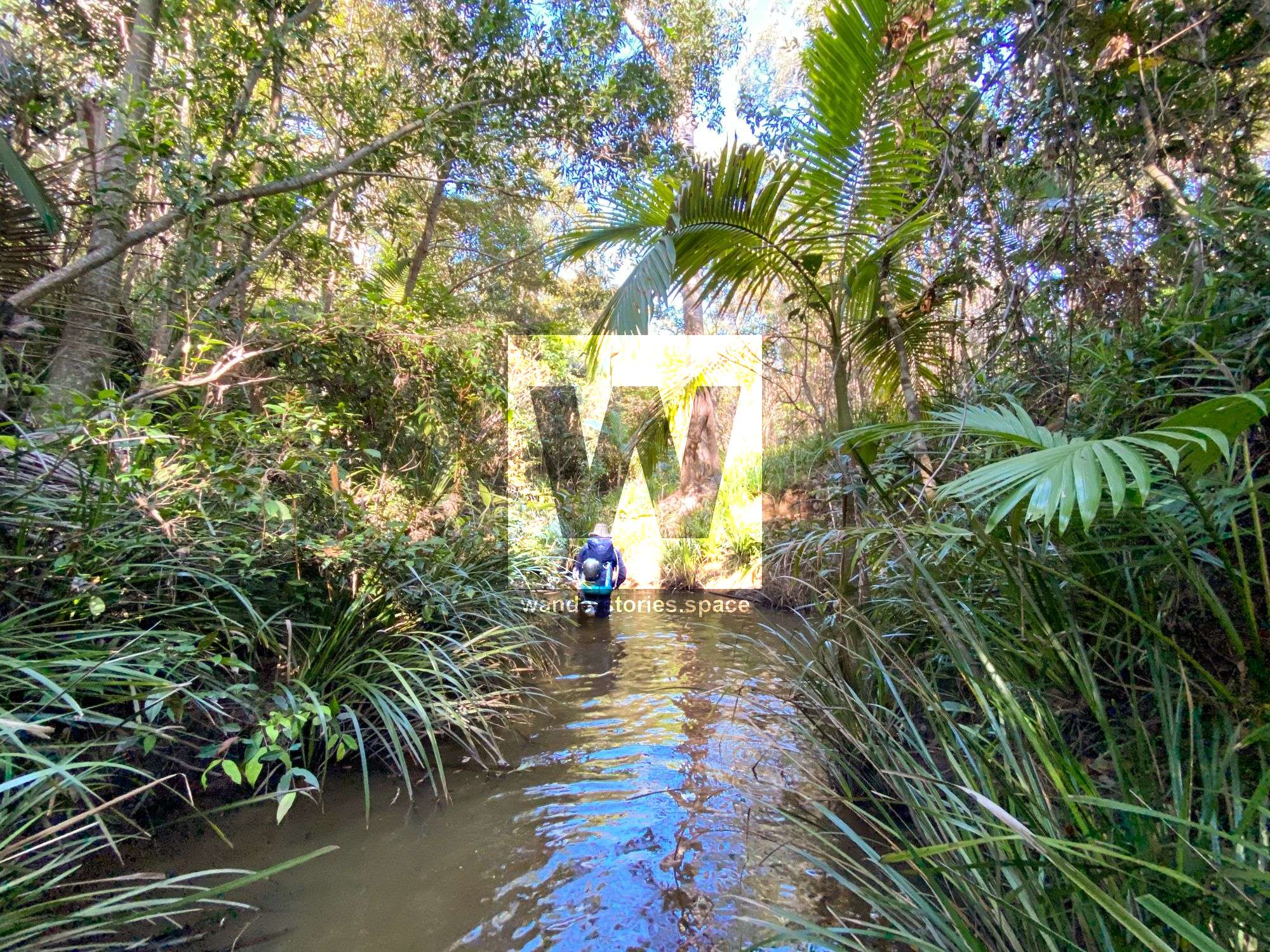
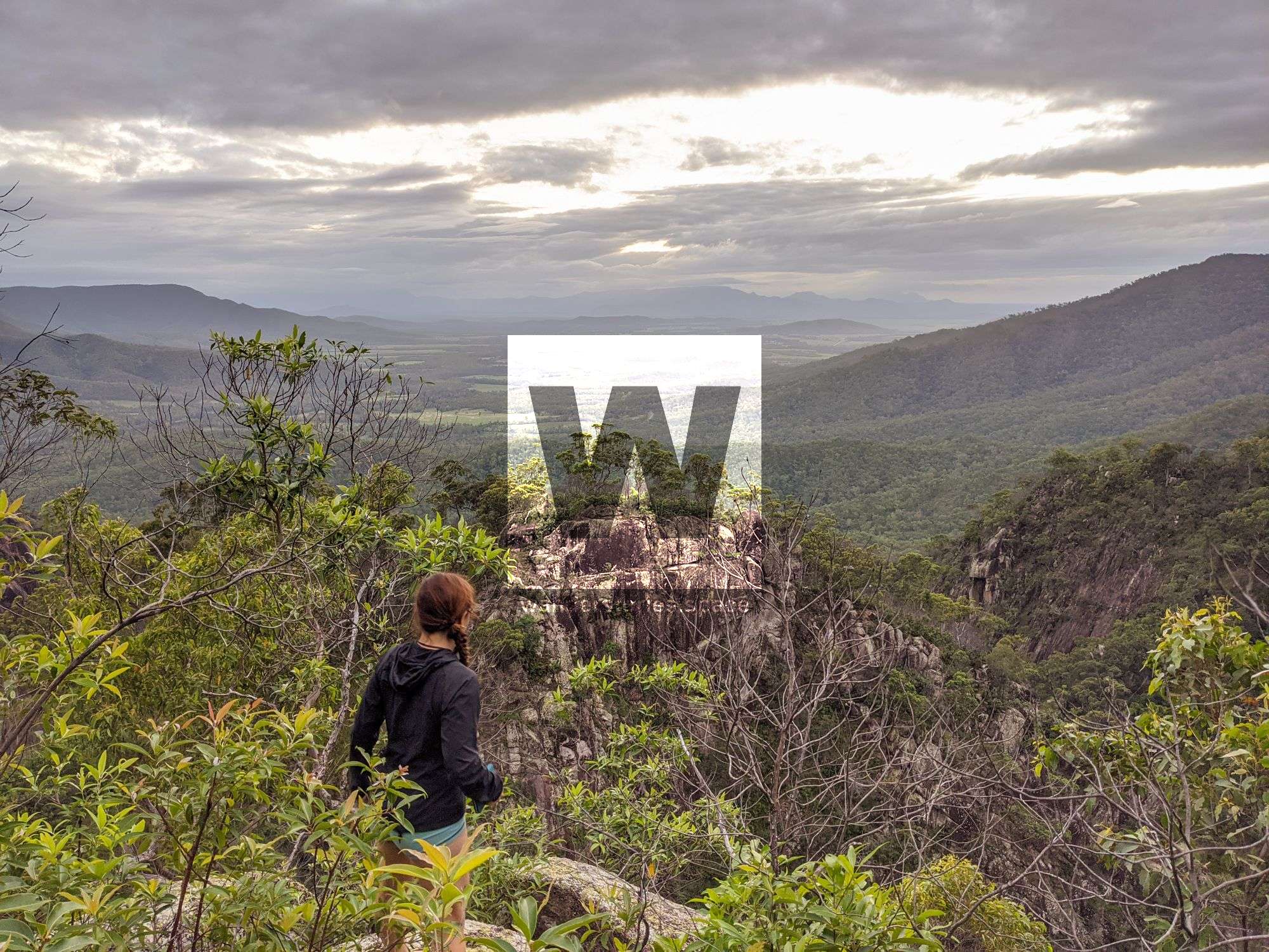
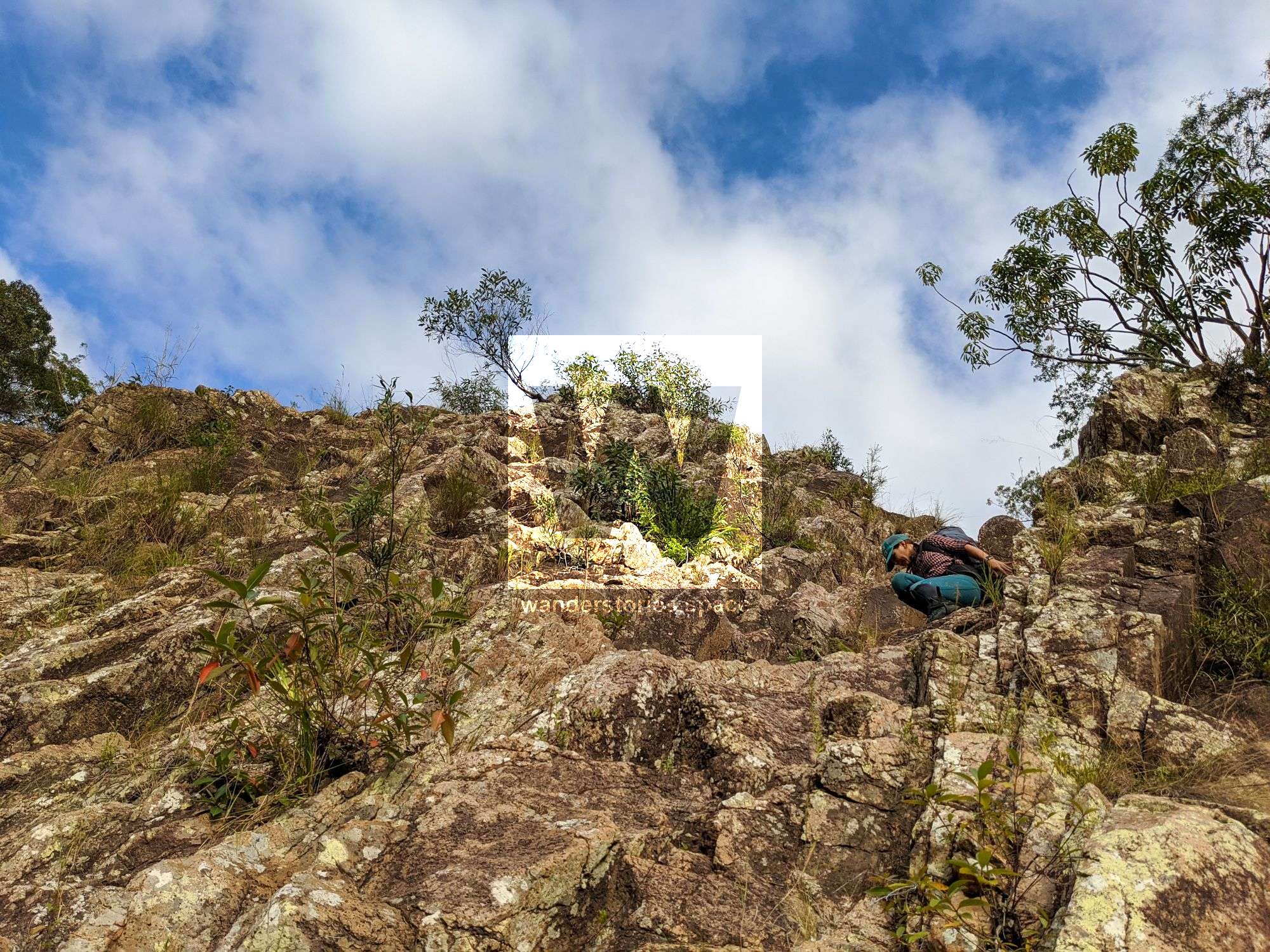
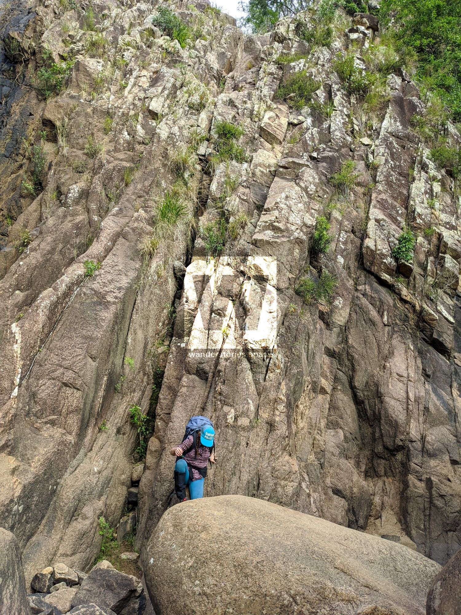
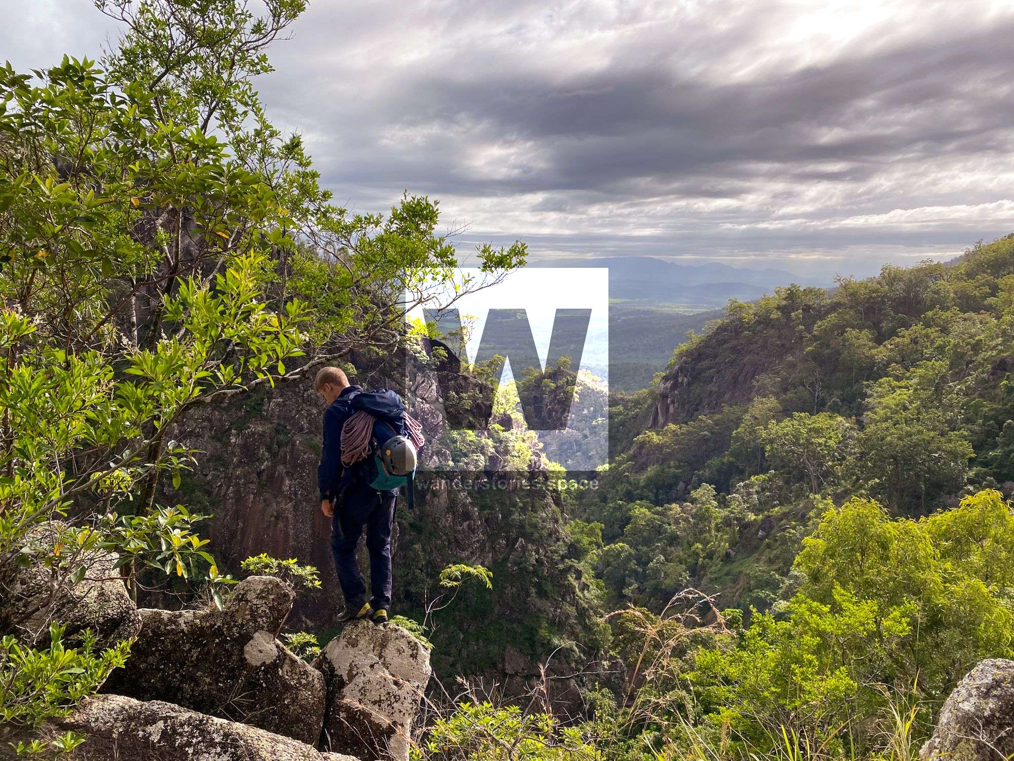
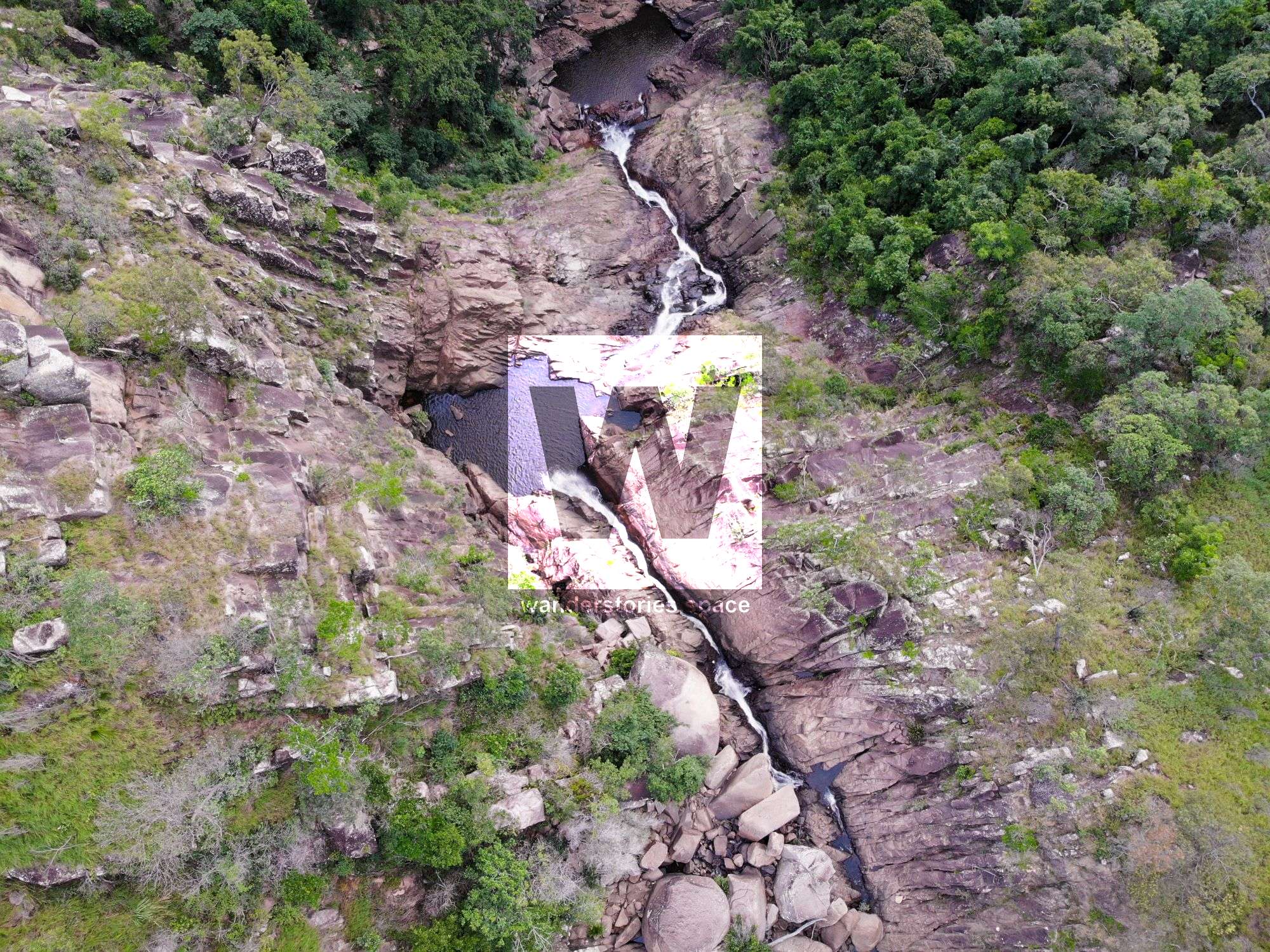
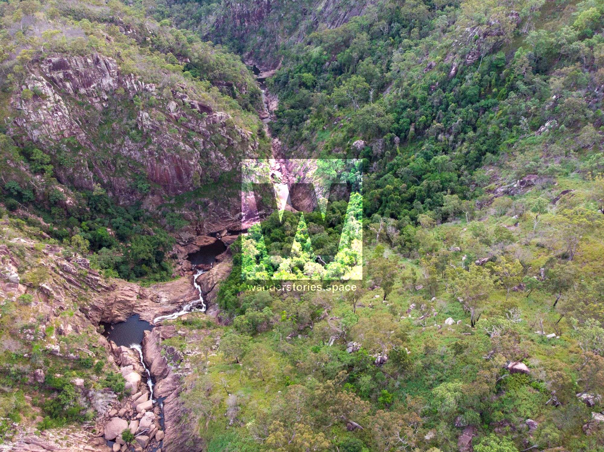
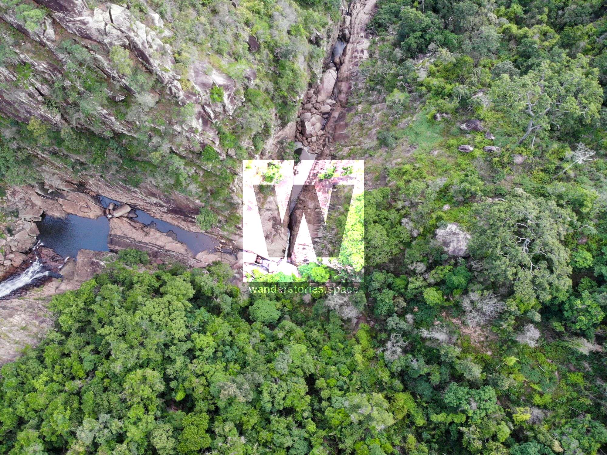
Approach
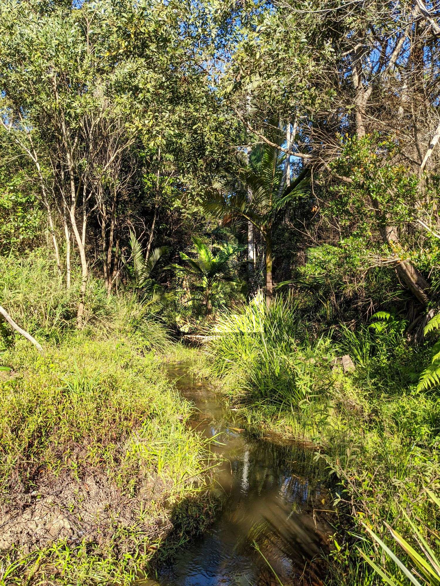
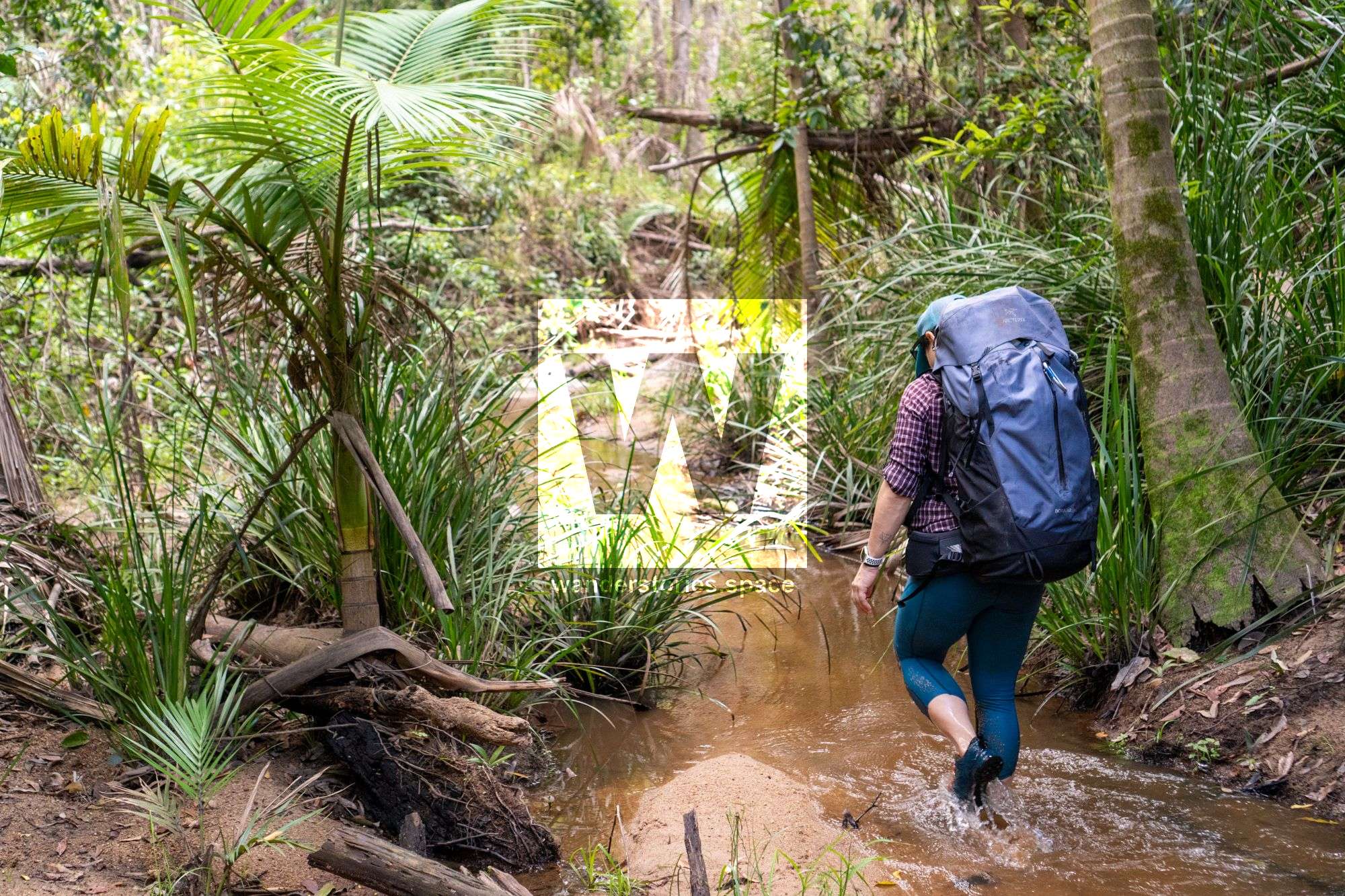
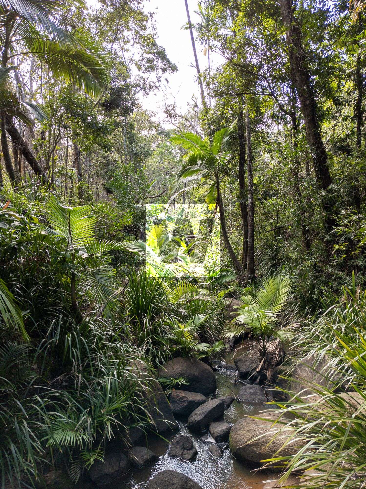
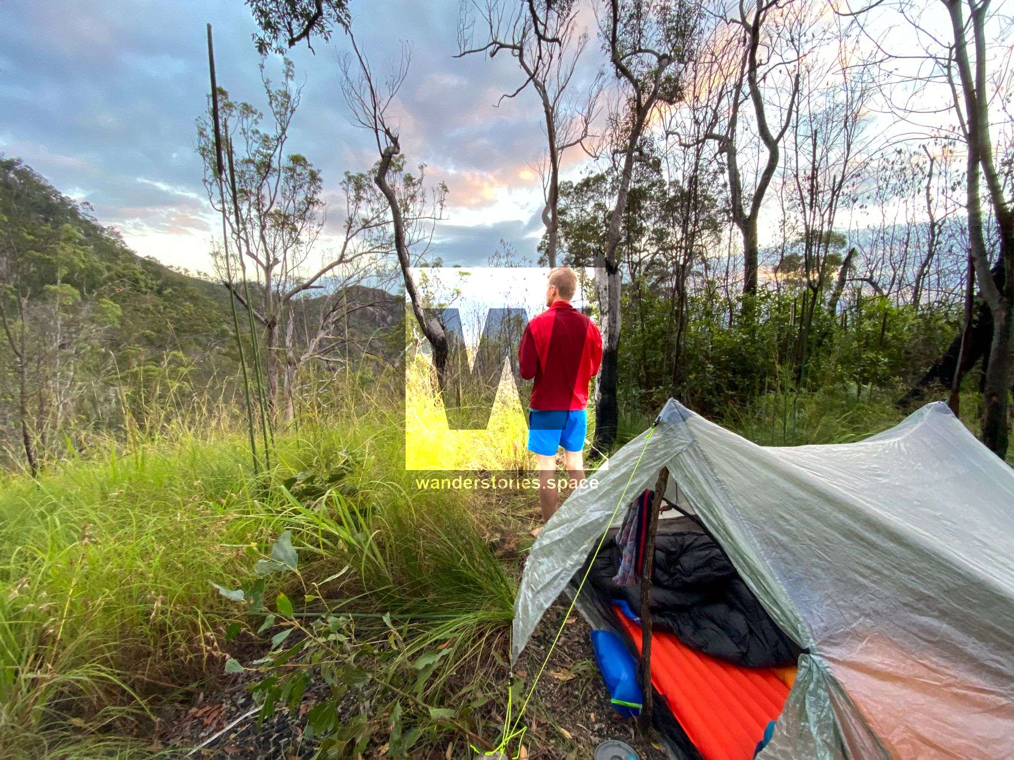
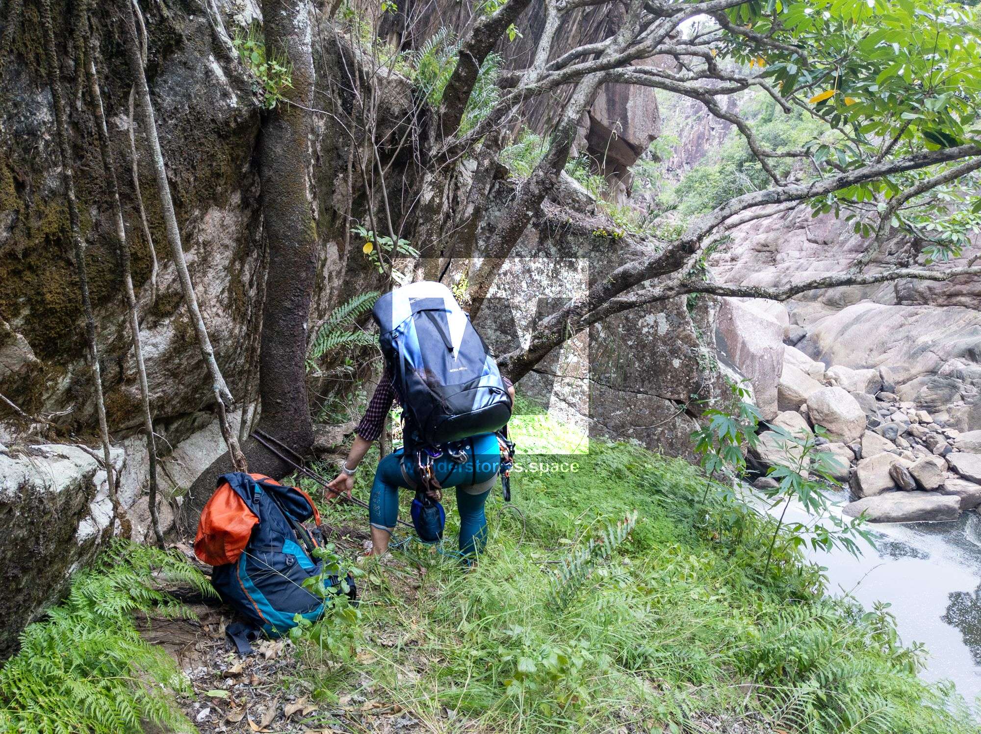
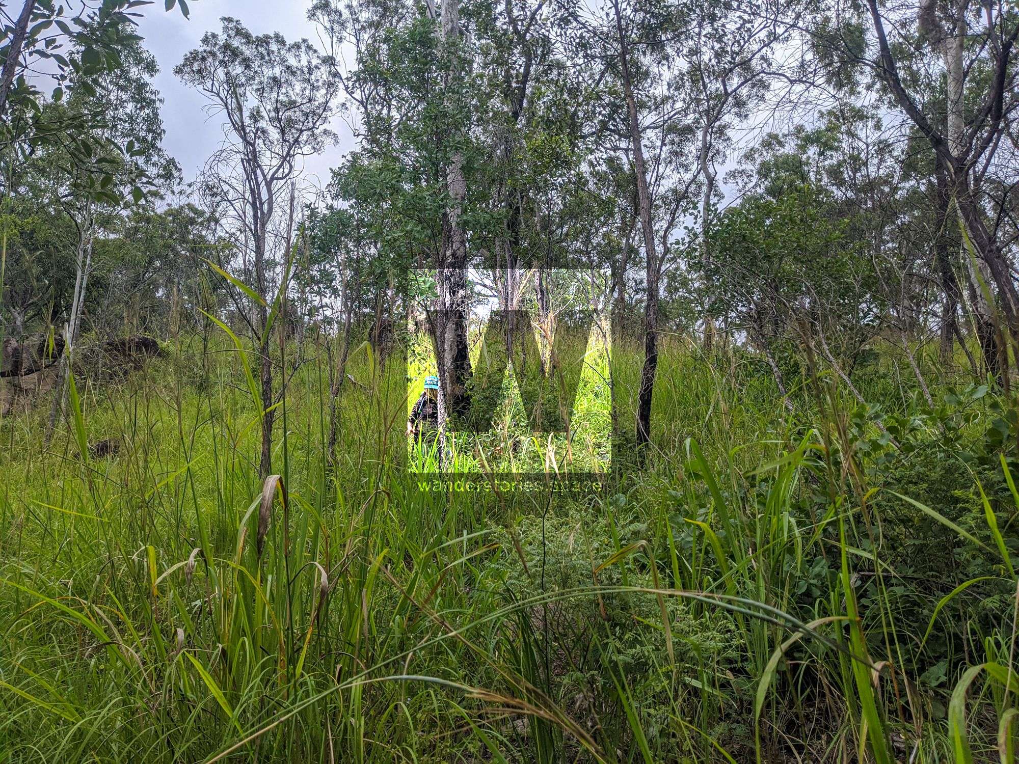
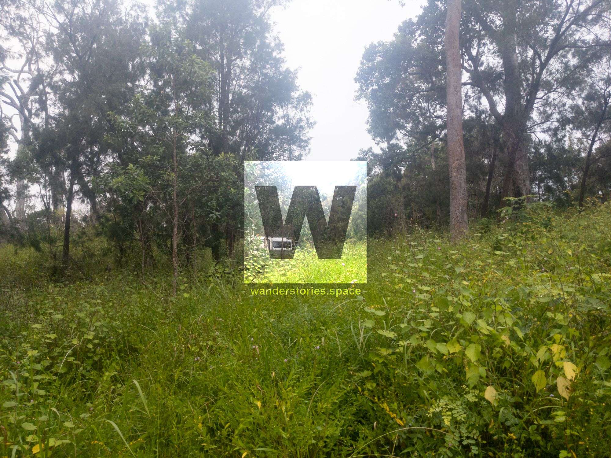
The approach is long and hard. The area has been significantly damaged by Cyclone Yasi and much of the devastation can still be seen. The forest does not have a proper canopy so a lot of regrowth is on ground level making it hard to traverse. So the creek is the better option, although it has its challenges too.
It can be done as a two-day circuit.
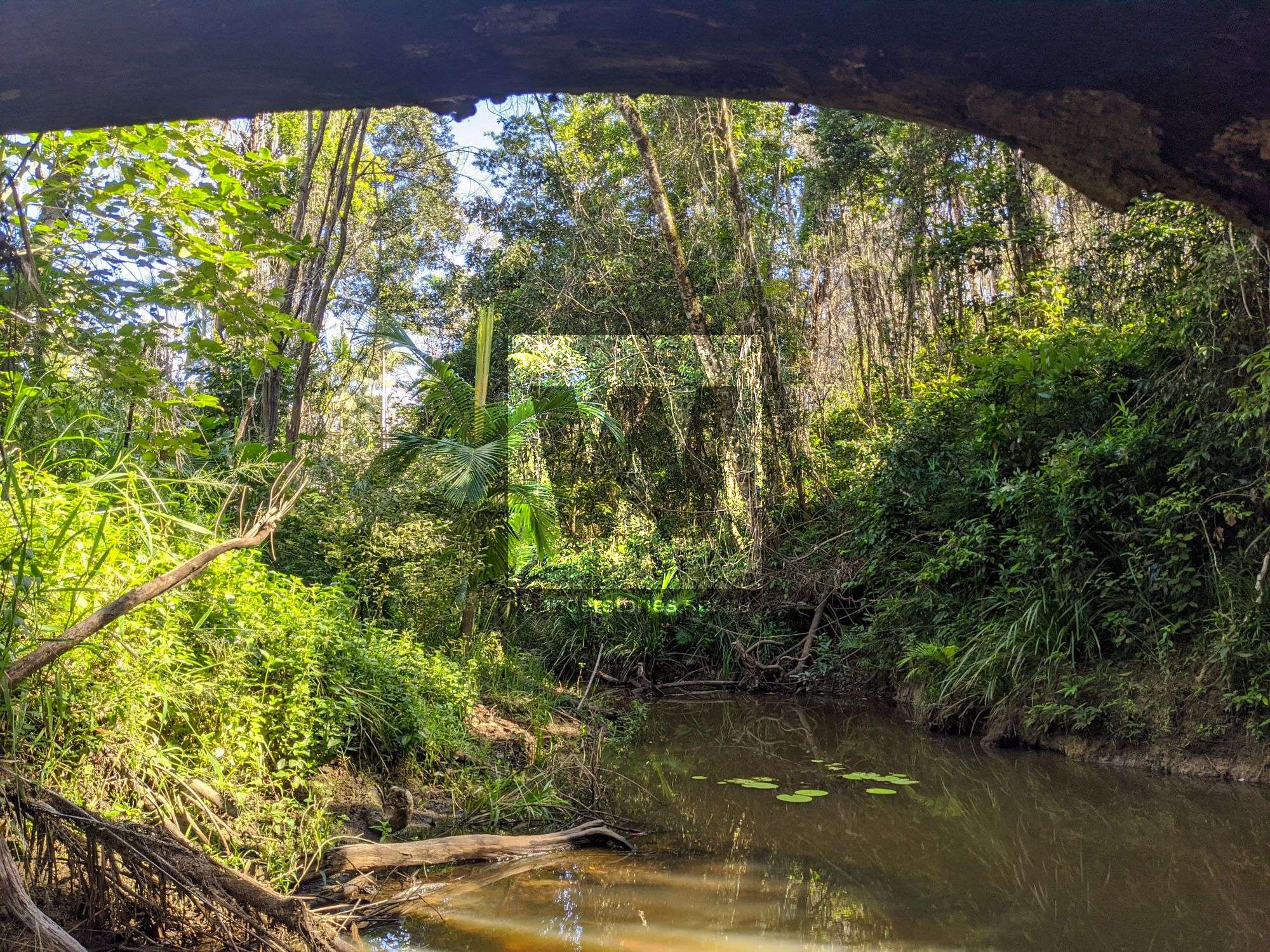
Waterfall with a cave underneath video.

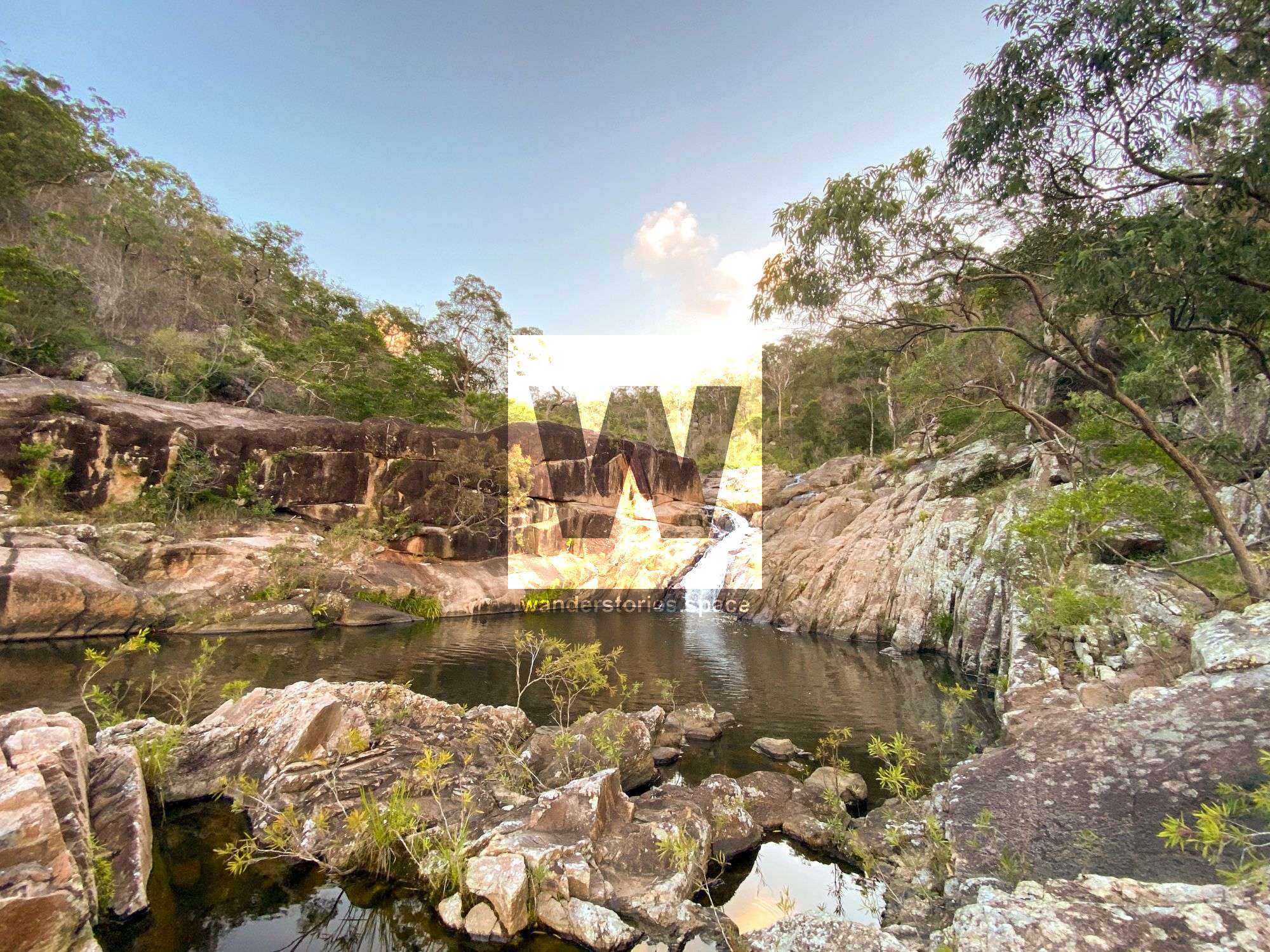
Rappels
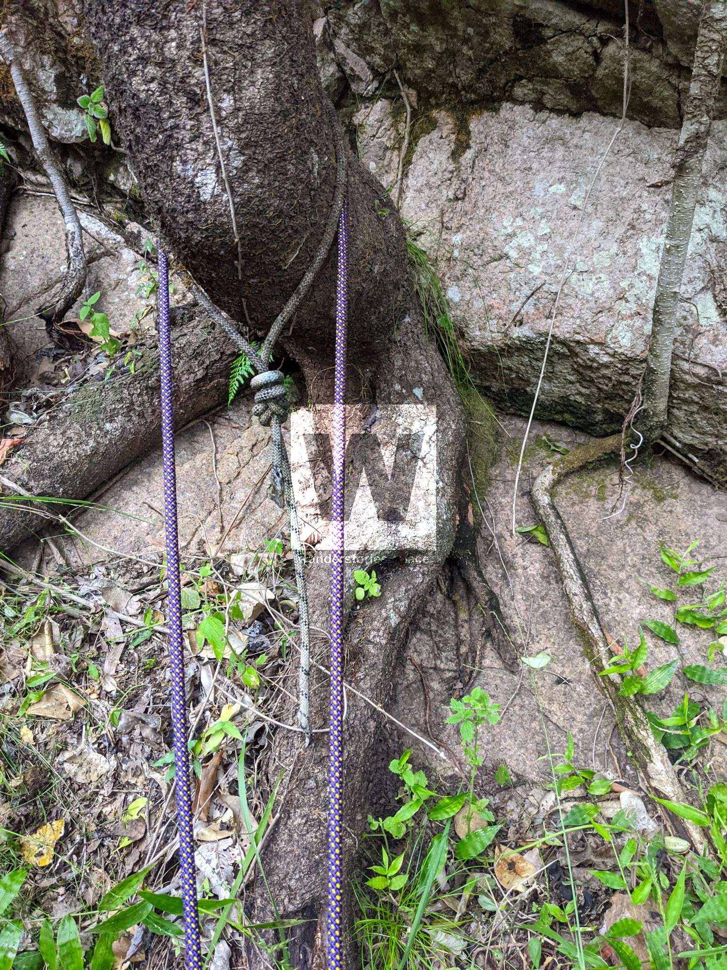
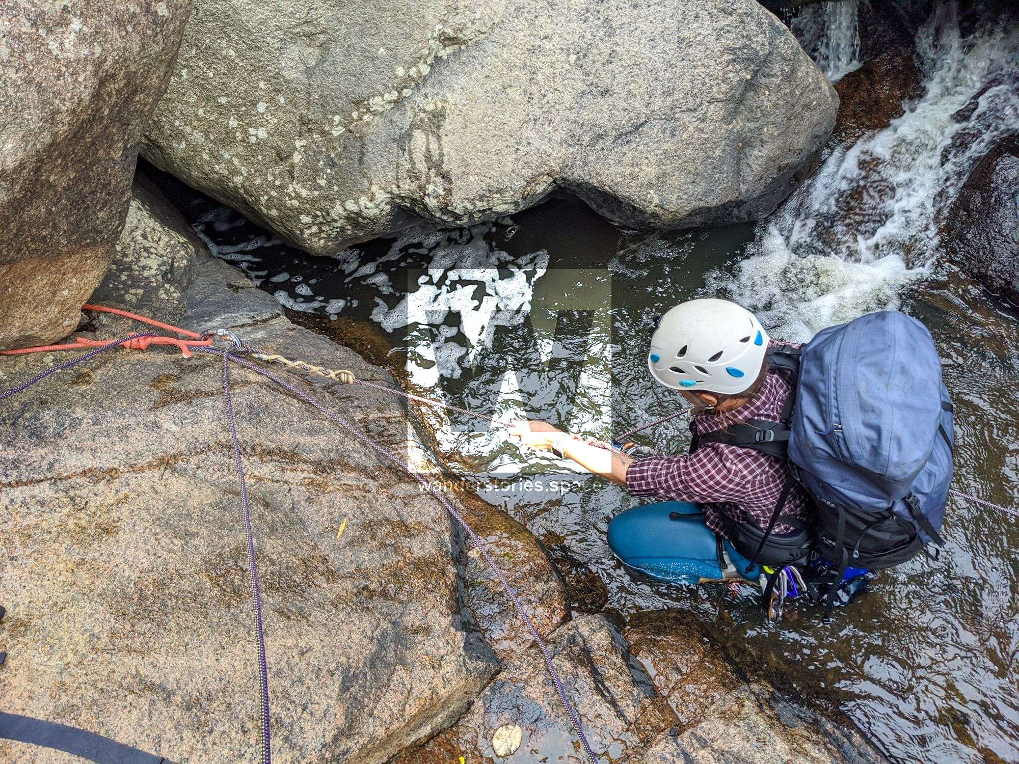
There are several old ropes in places that were used as sacrificial slings. This amount of left material suggests that this trip may have been done as a Defence adventure training exercise. The material was so embedded in the soil. If you do this canyon, please try to cut the old webbing away and take some back with you.
R1-15m NA-TL Optional
There is a tree on true left or scramble down left (or right) of the falls.
R2-25m NA-TL/TR
There are a few options for anchors. The tree on true left with rap into water, or true right from a boulder into pool, or true right tree down dry ledged cliff. Can down to R3 boulder 20m or tree ~30m.
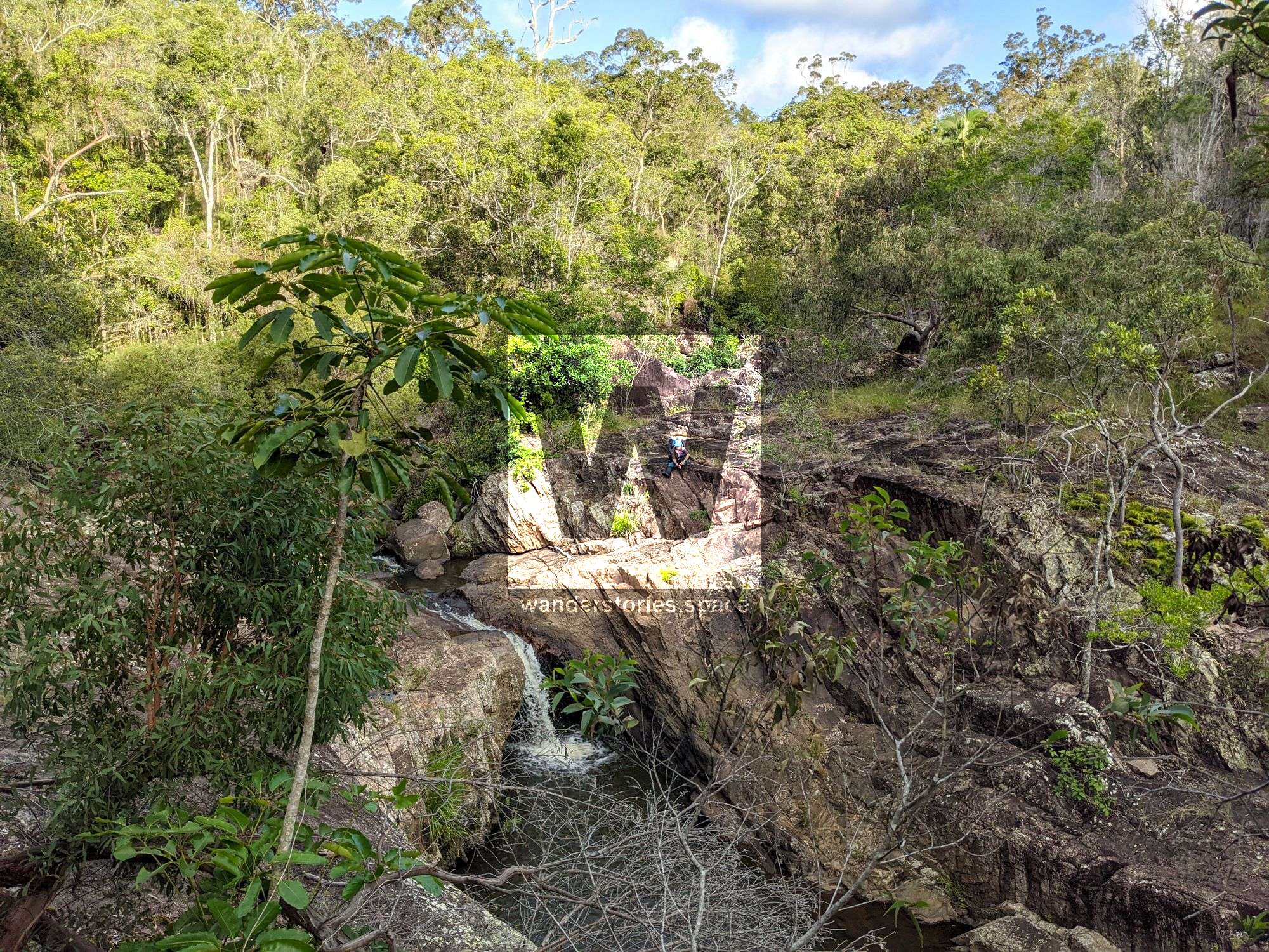
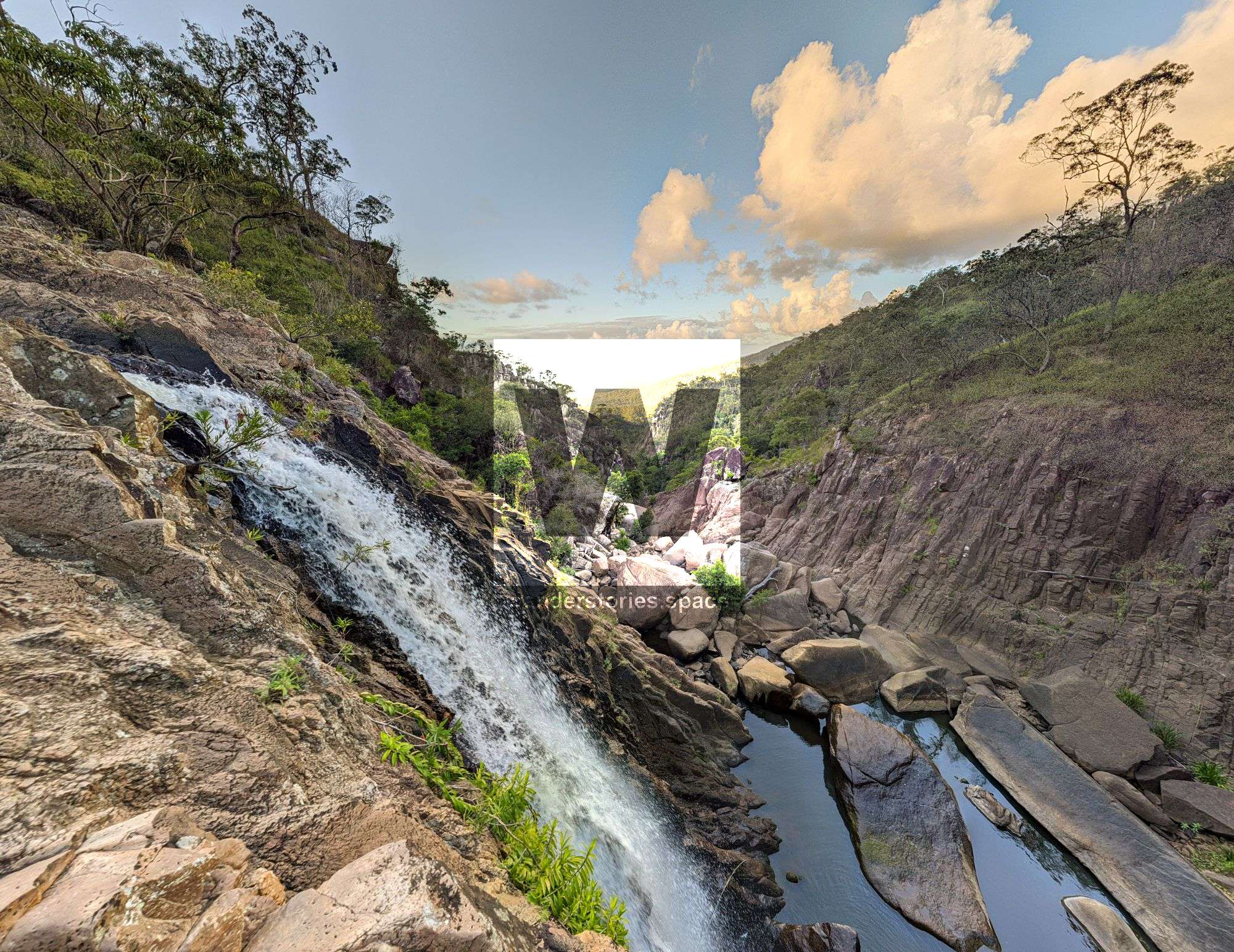
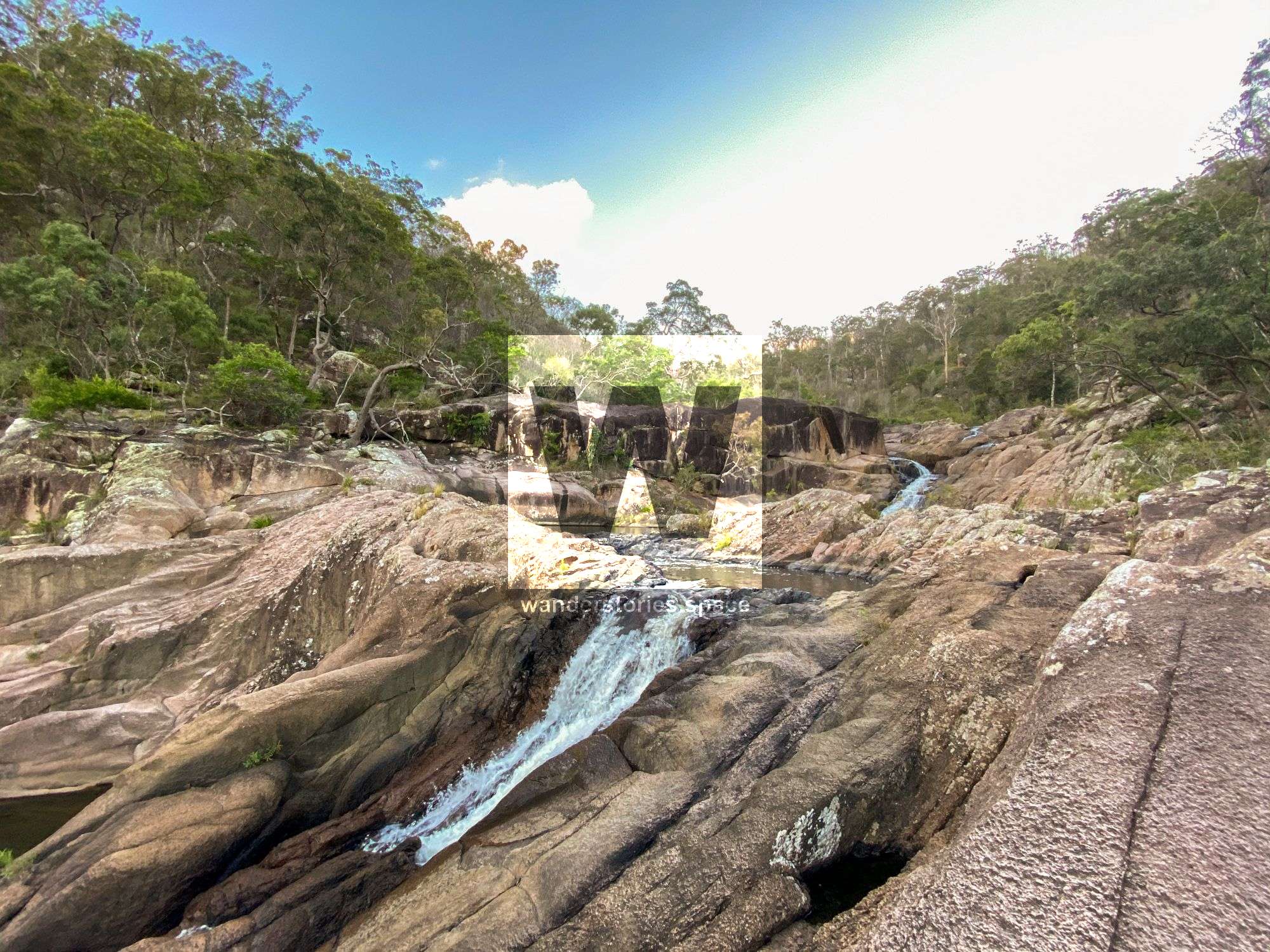
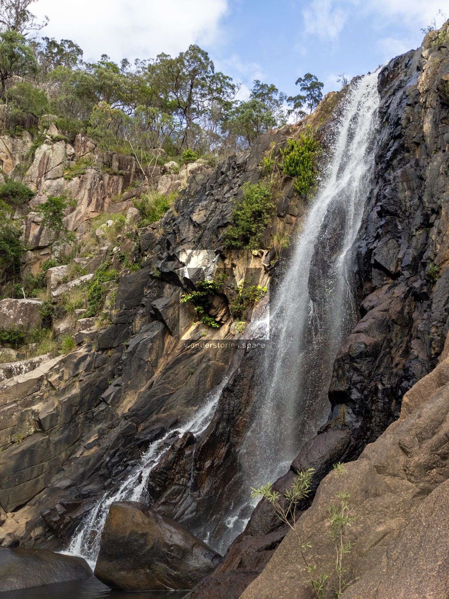
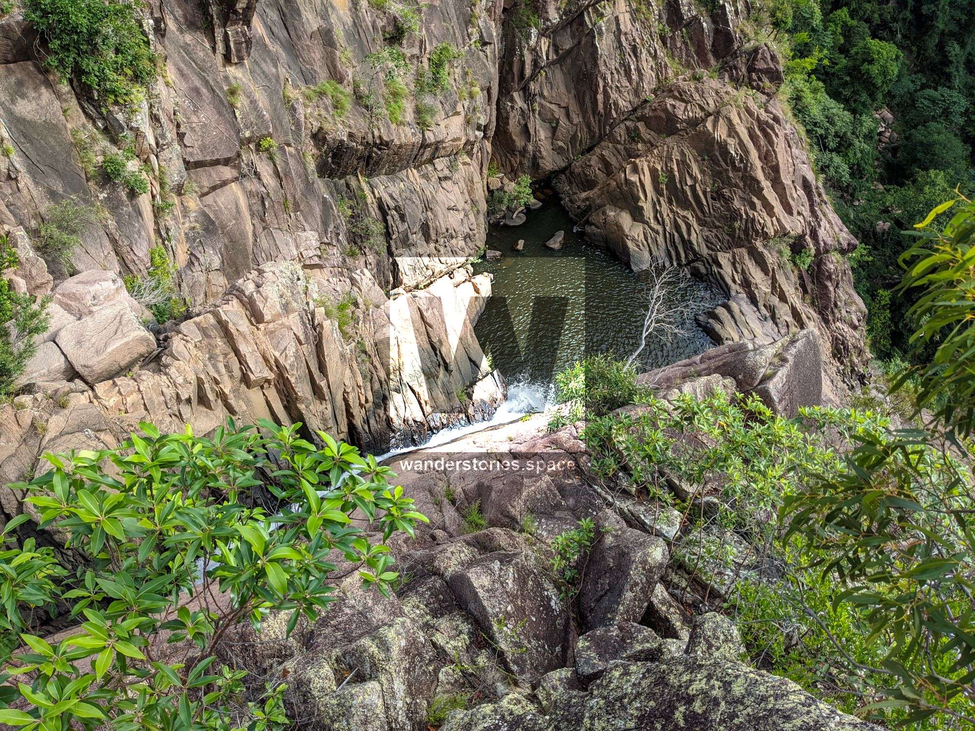
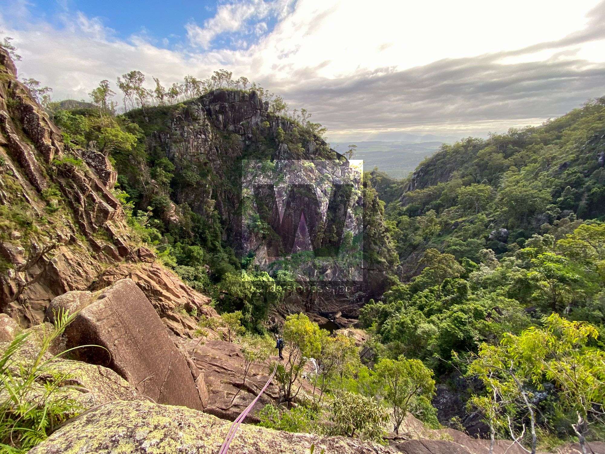
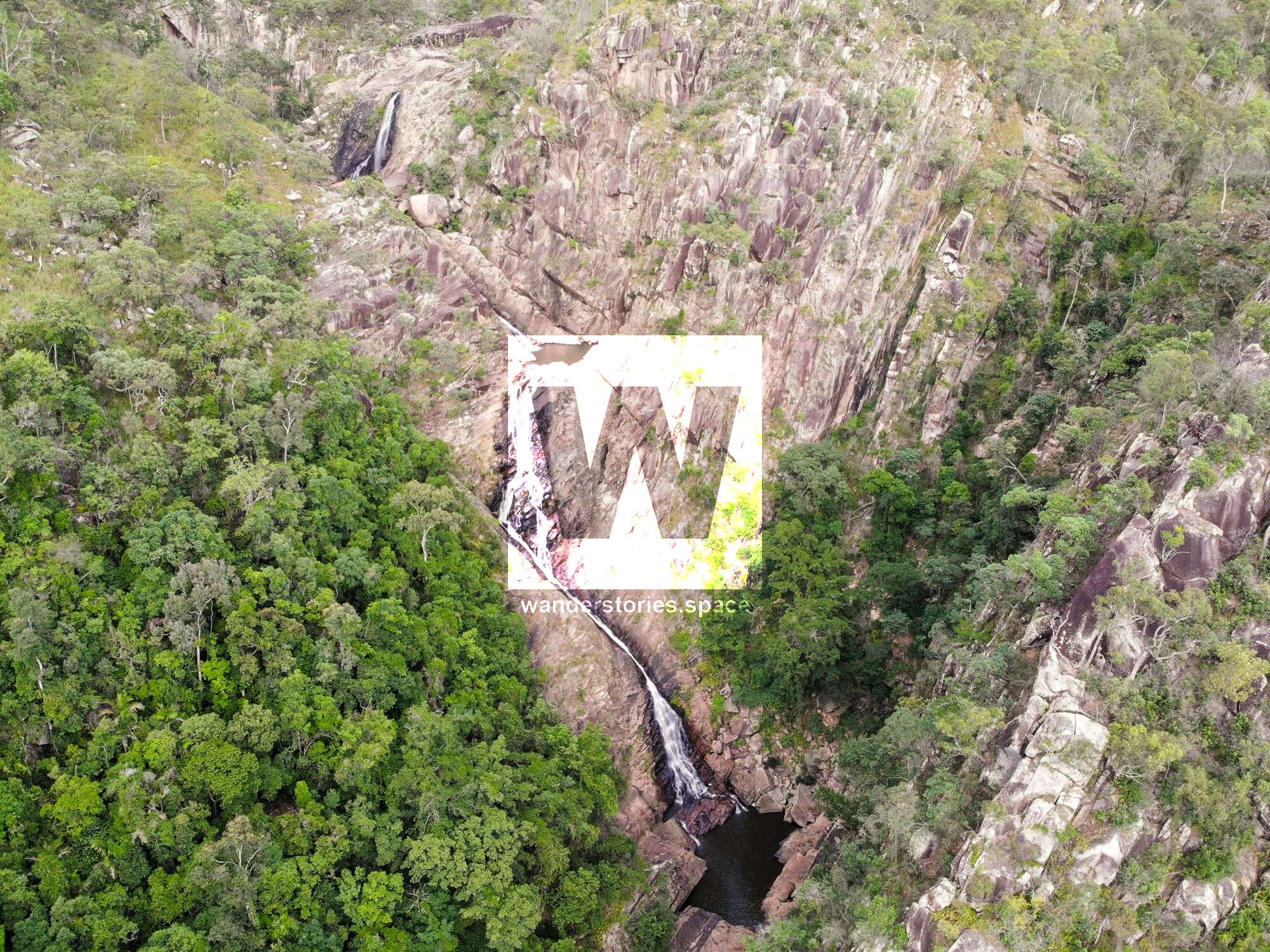
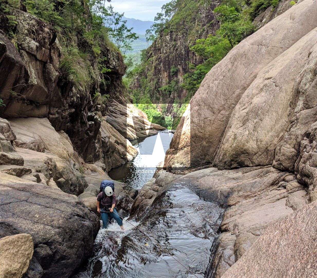
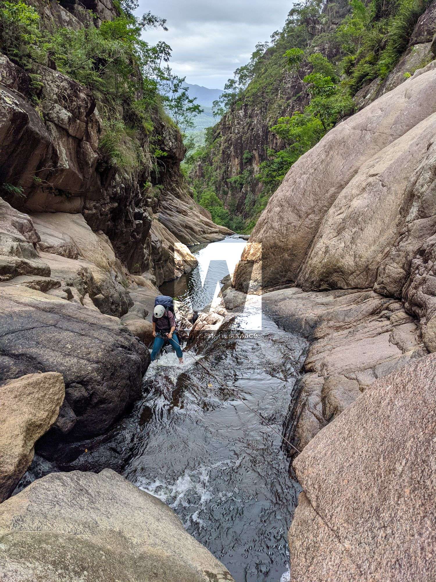
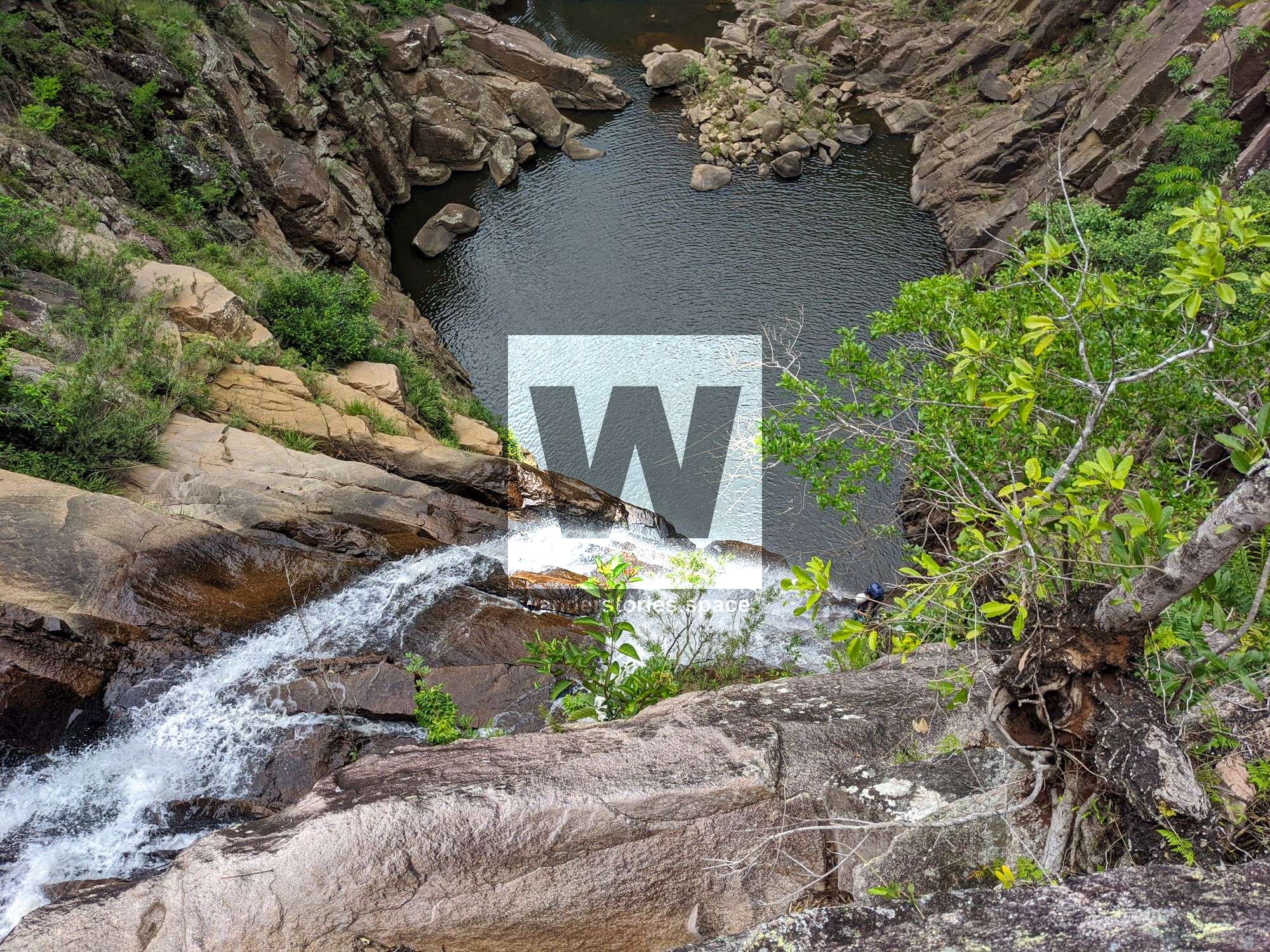
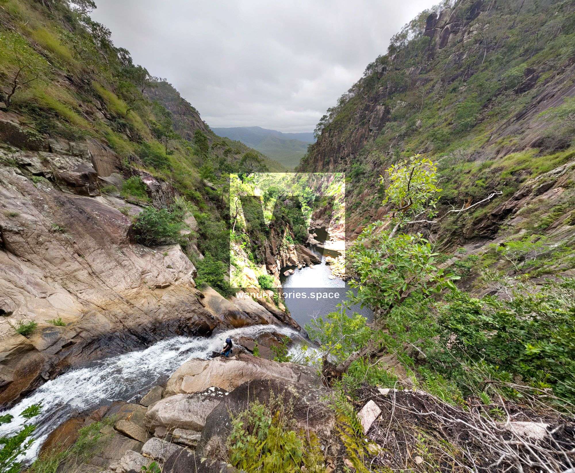
R3-85m NA-TR Disaster Falls
True right boulder 90m or scramble down to tree for an 83m rap (can easy scramble the last (wet) three metres). You could also break it up in to two rappels but best done as one.
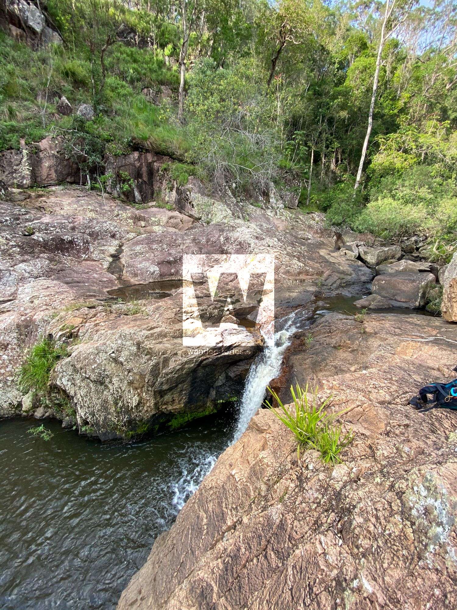
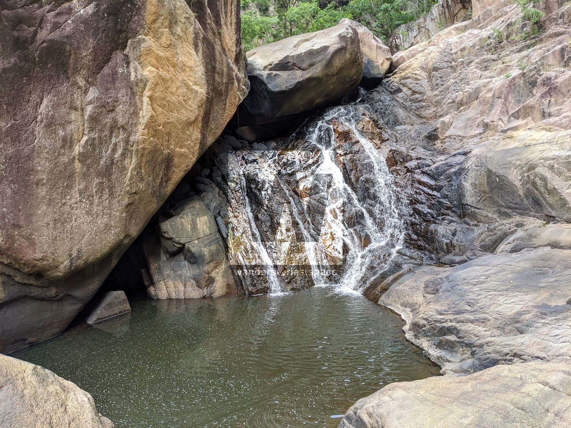
R4-8m NA-TL
Continue downstream to the left hand bend. Scramble across ledge true left to tree. The other option is to possibly sling boulder TC and rap down 'V' falls 10m - take caution if using the boulder.
R5-5m NA-C Optional
Sling boulder or scramble left down chimney and then across right on small ledges.
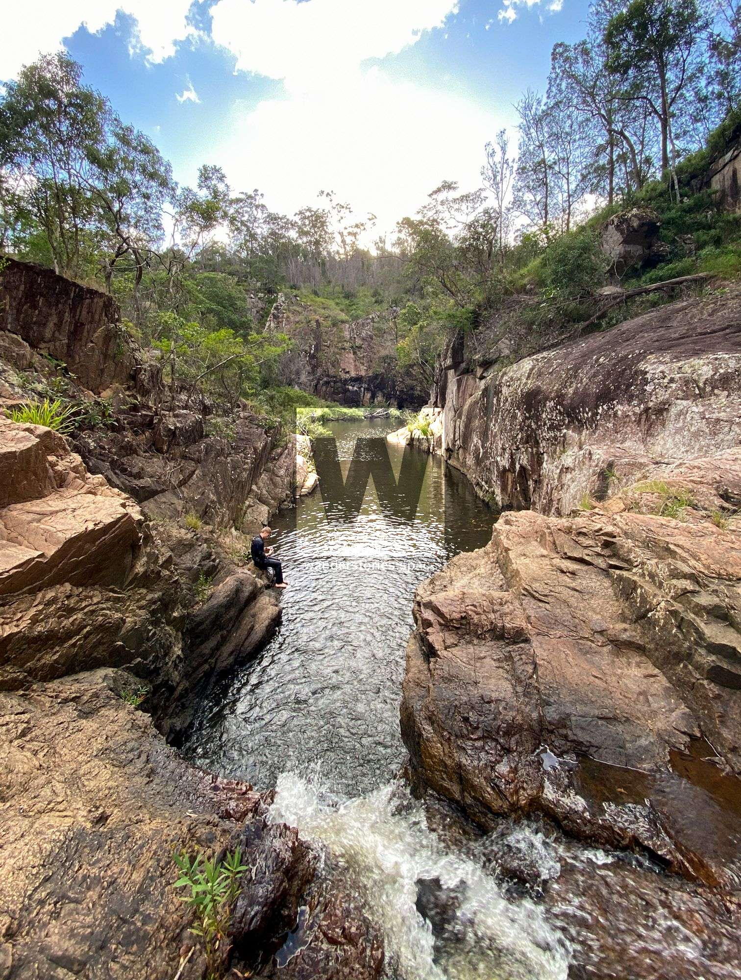
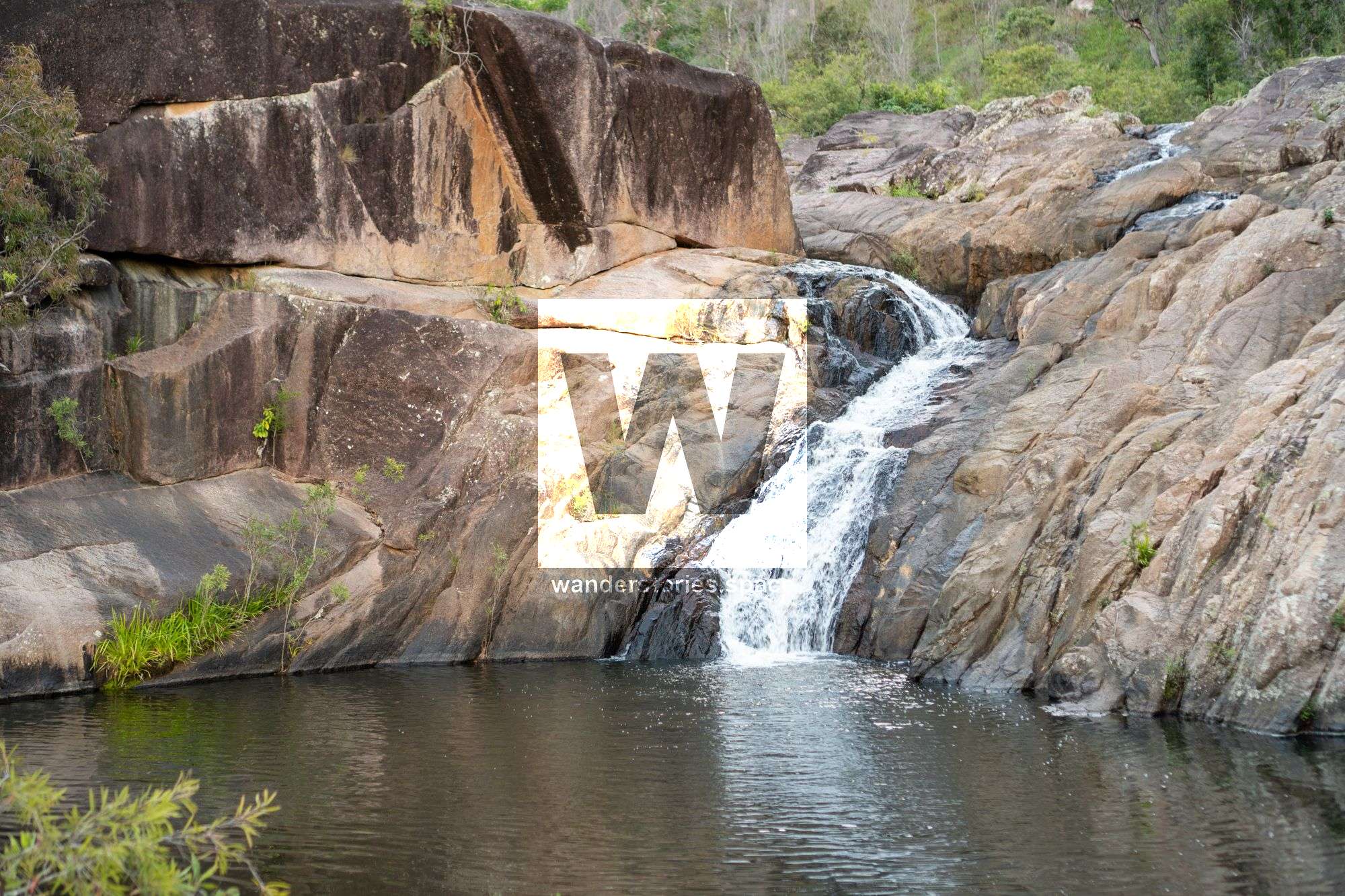
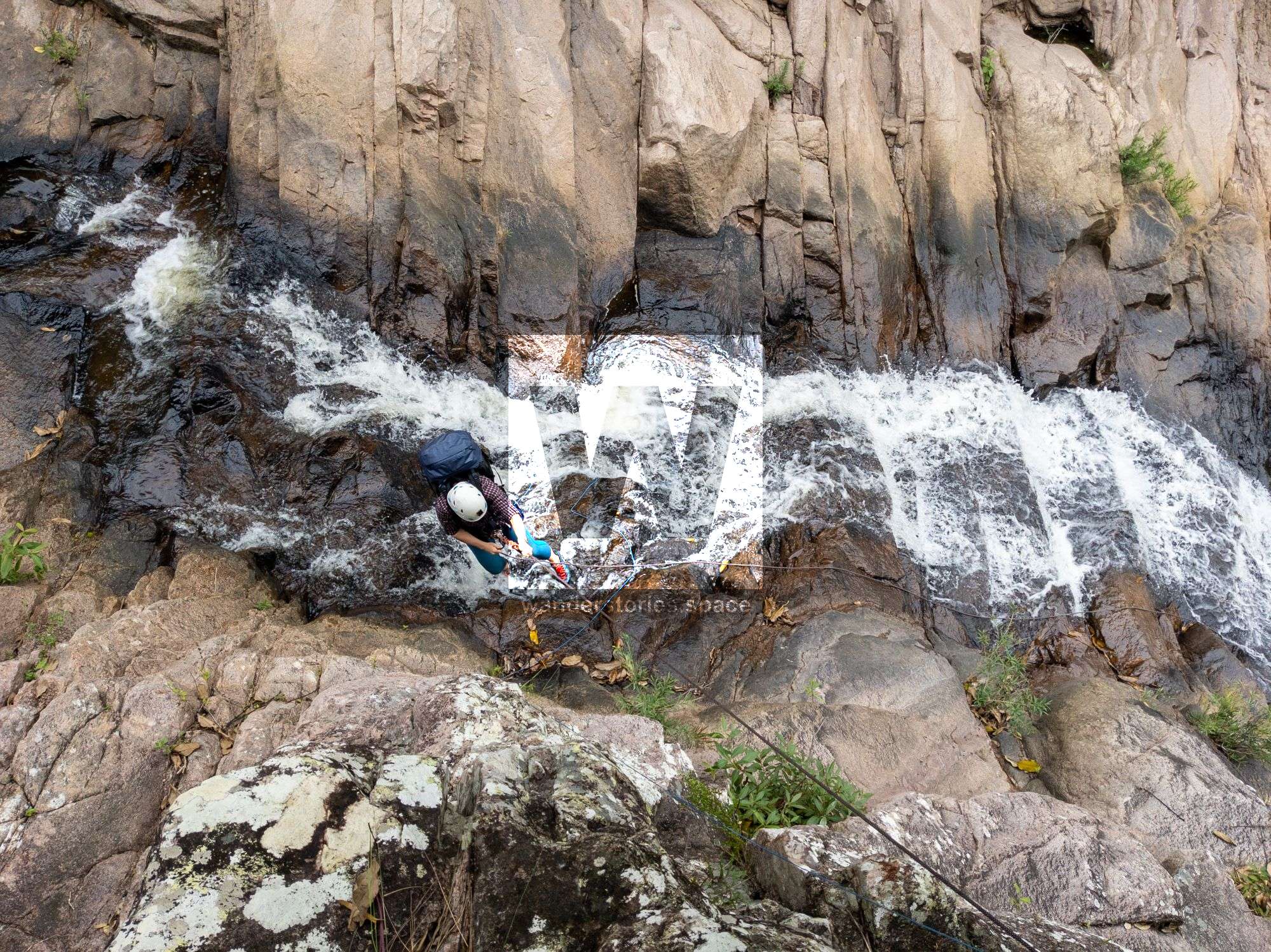
R6-12m NA-C
There are a couple boulders that are suitable for anchors. Rappel down water with a few minor obstacles.
It may also be possible to scramble down left with a lot of caution.
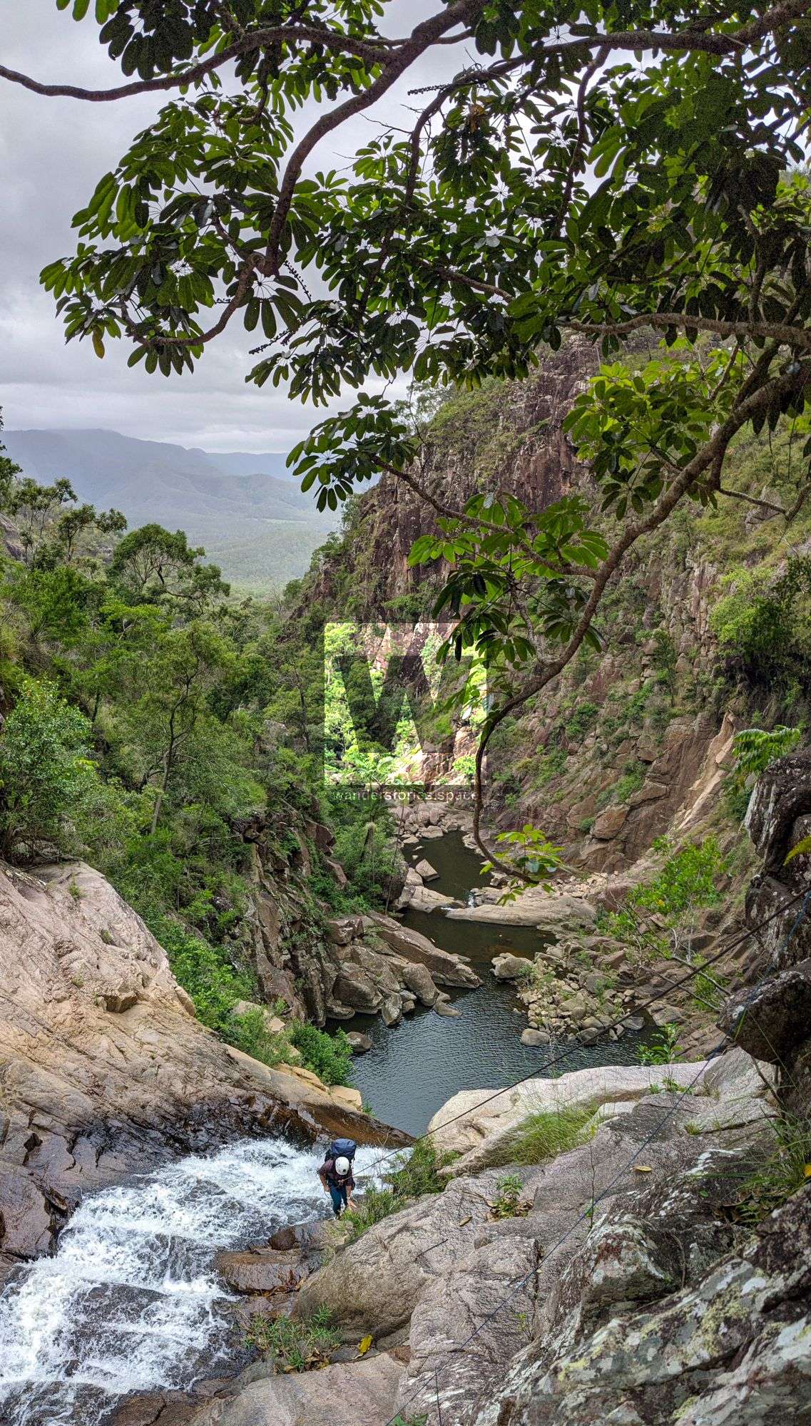
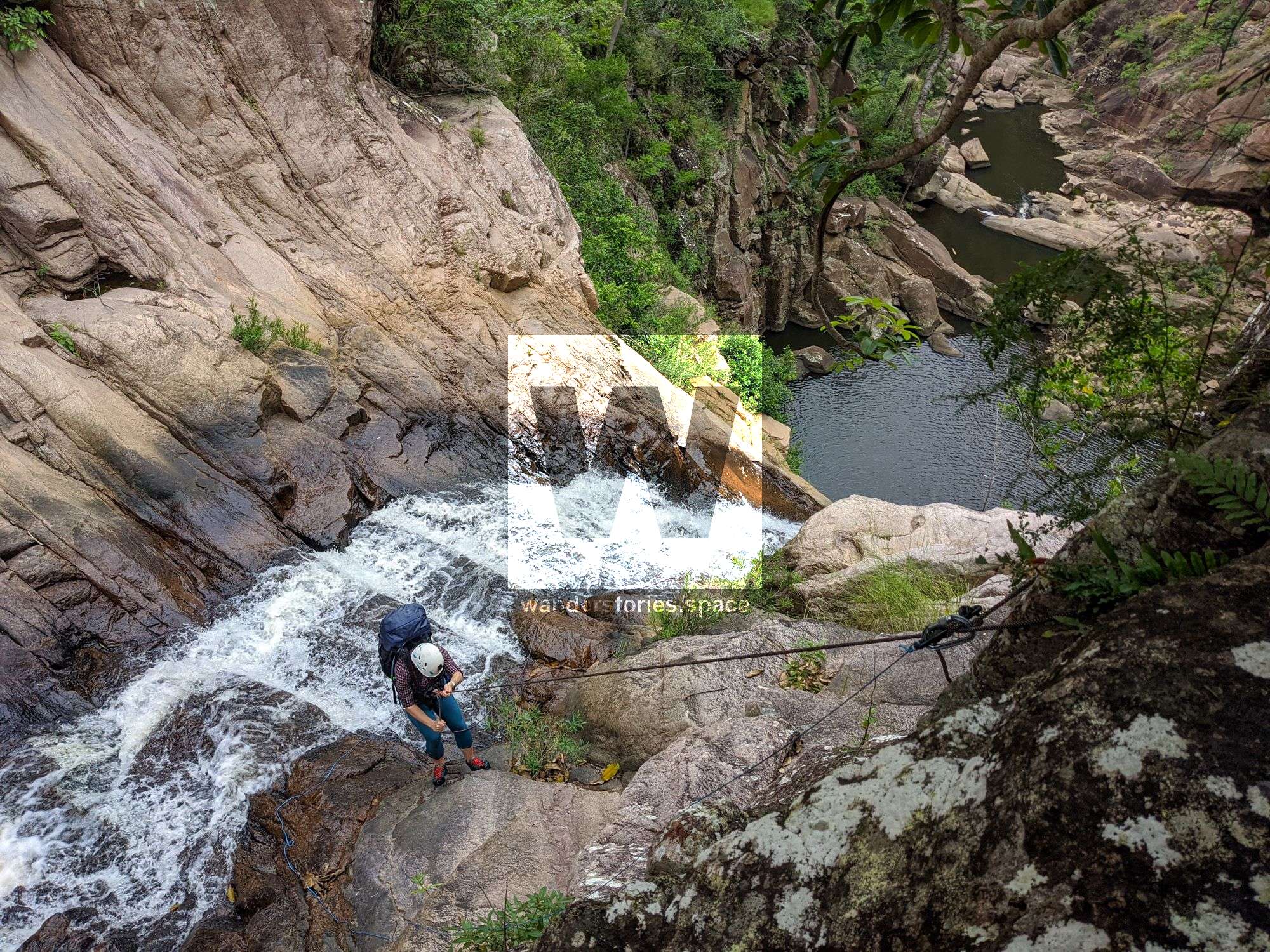
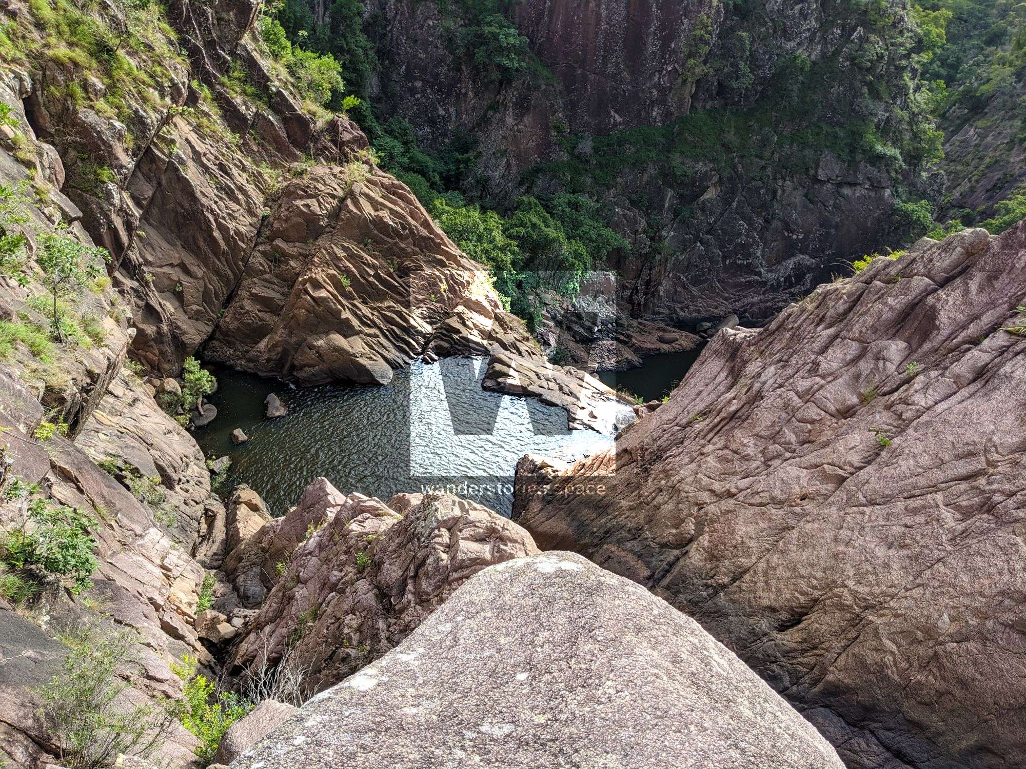
R7-77m NA-TR
Easily scramble up true right to tree.
Take caution when rappelling as there are a lot of loose blocks and sharp edges.
R8-5m NA-C/TL Optional
Possible anchor tree true centre or boulder true left.
Alternatively, scramble down true left. Easy!
Exit
Continue to rock hop downstream and then continue around the range and up the ridgeline back to the car.
Notes
Your team should have good navigation skills and appropriate experience.
Find your local canyoners and ask for beta on the FNQ Canyoning Facebook group.

WHAT YOU WILL NEED
- Experience in abseiling (there are some technical challenges)
- Enough rope for the longest rappel
- Rappel devices, prusiks, and webbing
- Grippy shoes on smooth, wet granite rocks
- Helmet
- Backpack
- Food and snacks for the day
- About one litre of water to hike to the top and a way to sterilise your water from the creek
Anchoring notes
There are various natural anchors throughout the canyon, however, it is not unusual to come across damaged trees, especially after large flooding events. Please use sound judgement when considering previously installed anchors, like tape slings, ropes, and other textiles. There are no bolts in this canyon.
Surfaces
Along the route there are various sections of wet, slimy, and dry rock, as with all canyon environments. Please be mindful of your traction and regularly test your grip throughout the route as you cannot rely on the colour or texture of the rock to determine its safety against slippage. Take caution when near cliff edges.
Experience
No responsibility or liability is taken for any harm, death or loss of property resulting from the use of this article. You must carry anchor building materials, be experienced and use your own judgement when canyoning. Flooding events can strip anchors and change the canyons layout and conditions. Improper and insufficient experience will result in serious injuries or in many cases death. Always respect all signs you encounter and take everything in you brought with you.
Please read the Beginners' tips for canyoning in North Queensland article.
See our general disclaimer that includes canyoning.
Canyoning Topo
This canyoning topo is for illustration-purposes only.
TO BE UPLOADED - ASK
Legend
X / XX - Single and twin bolt anchor.
NA - Natural anchor such as a tree or rock.
TL / TR / C - True left, true right and centre when looking downstream.
R1-8m / R2-6m - First rappel and its height in metres, second rappel and height.
Optional - These rappels can be avoided by exiting prior or walking around.
Please note that an activity permit may be required in national parks.
If this information is outdated or you would like to make a correction, please contact us.
Photos in this article are by Jodie Rummer and Luen WarnekeThis article, and all other articles, are for entertainment purposes only and are not to be used as a guide. Please see our Disclaimer for more information.