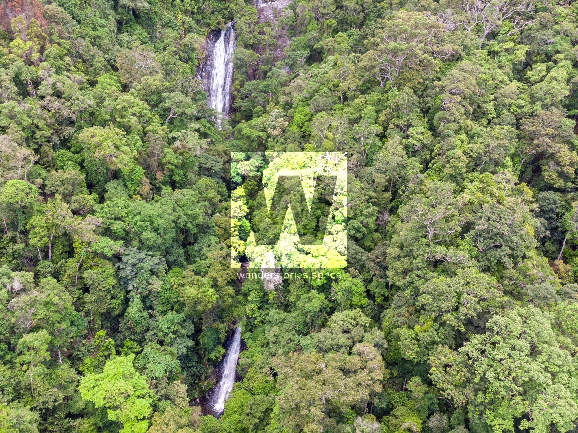
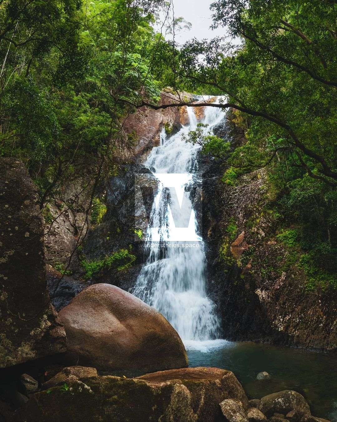
Karnak Canyon, Little Falls Creek Tributary
Karnak Canyon is one of the prettier creek to follow in Far North Queensland. This is a tributary of Little Falls Creek and is relatively easy to access for a high reward canyon.

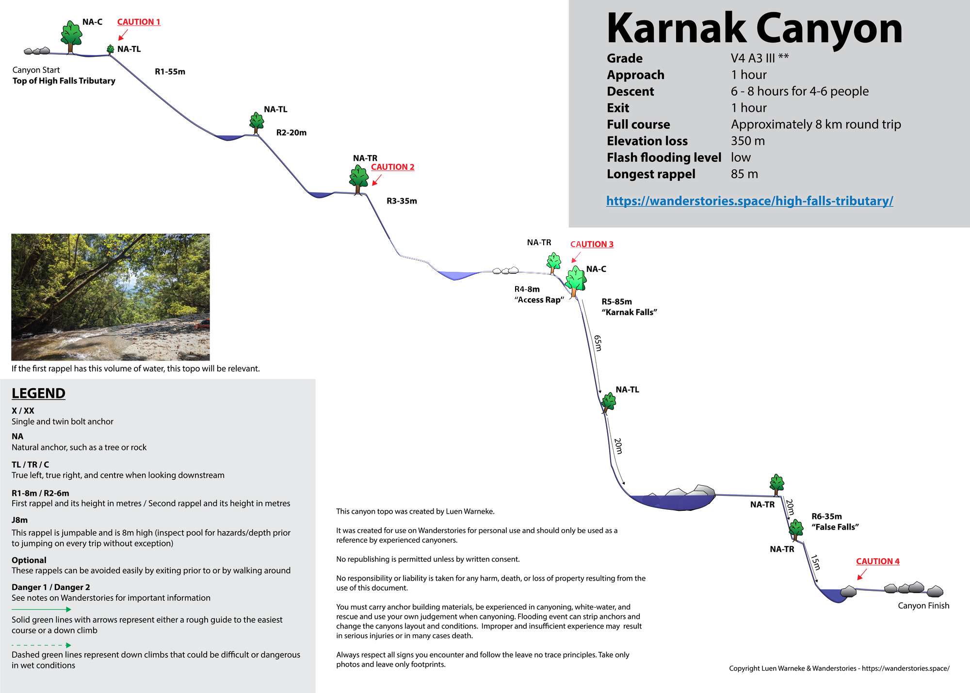
Karnak Canyon
Location - Daintree National Park, Far North Queensland, Australia
Approach Difficulty - Grade 5 (AWTGS)
Grade - V4 A3 III ** (French Grading System)
Total Distance - Approximately 8 km round trip
Total Time - Allow 8 hours for 4-6 people
Approach - 1 hour depending on route
Descent - 2-5 hours
Exit - 1 hour
Elevation loss - 350 m
Flash flooding level - Low
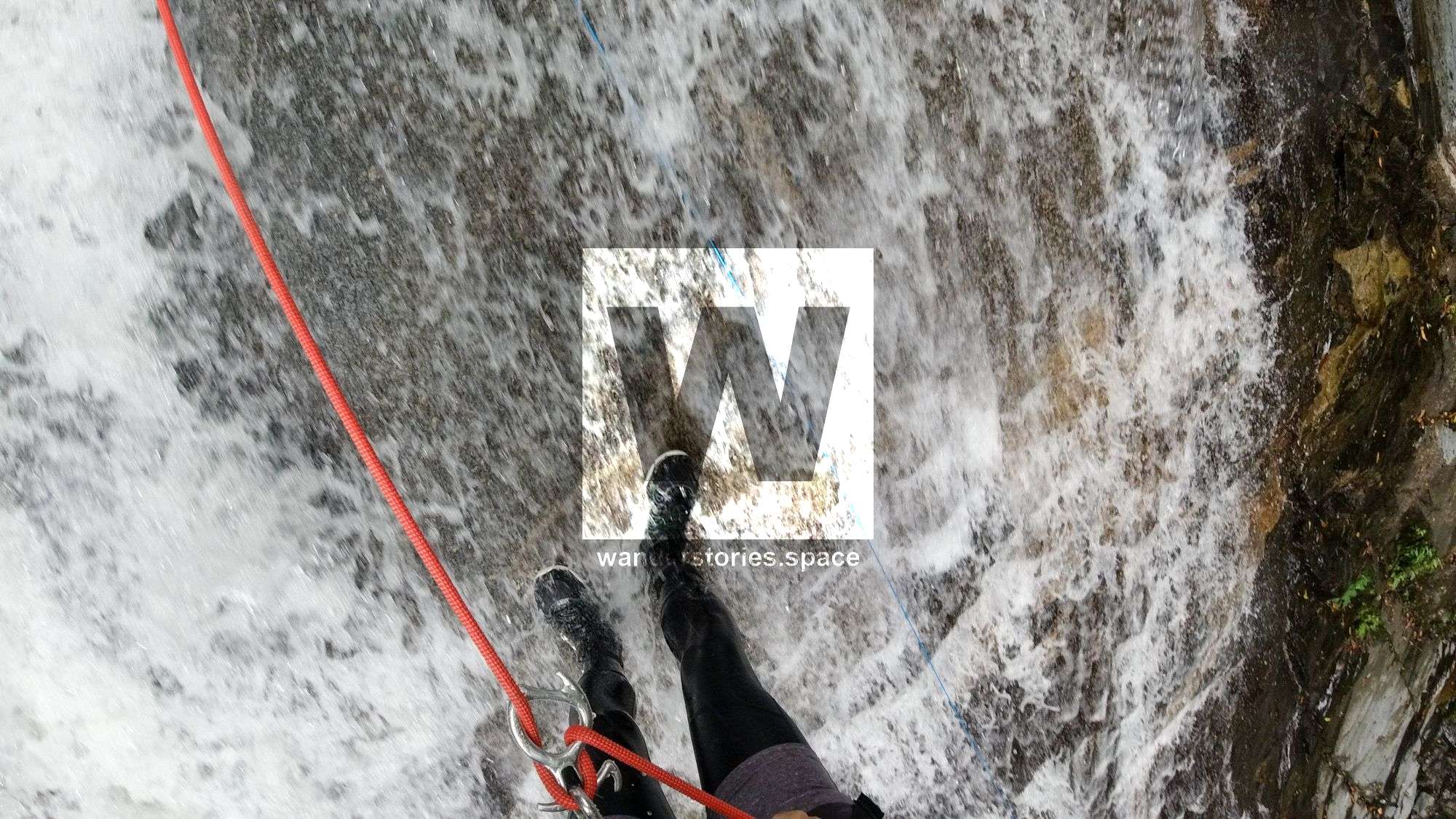
Longest rappel - 85 m
Karnak Canyon is one of the prettier creeks to follow in Far North Queensland. This is a tributary of Little Falls Creek and is relatively easy to access for a high reward canyon.
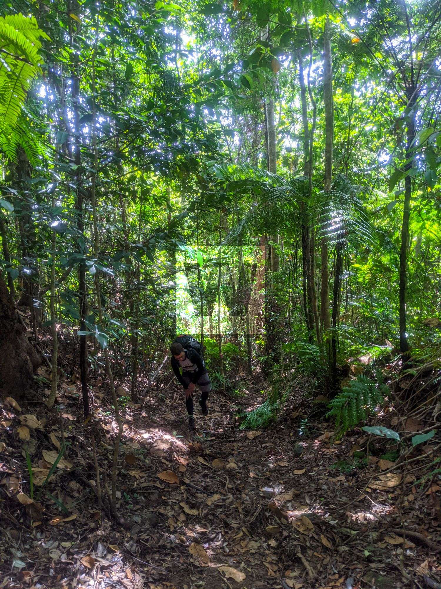
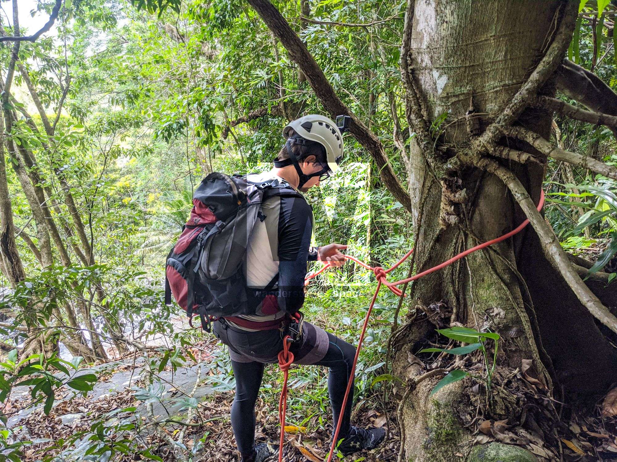
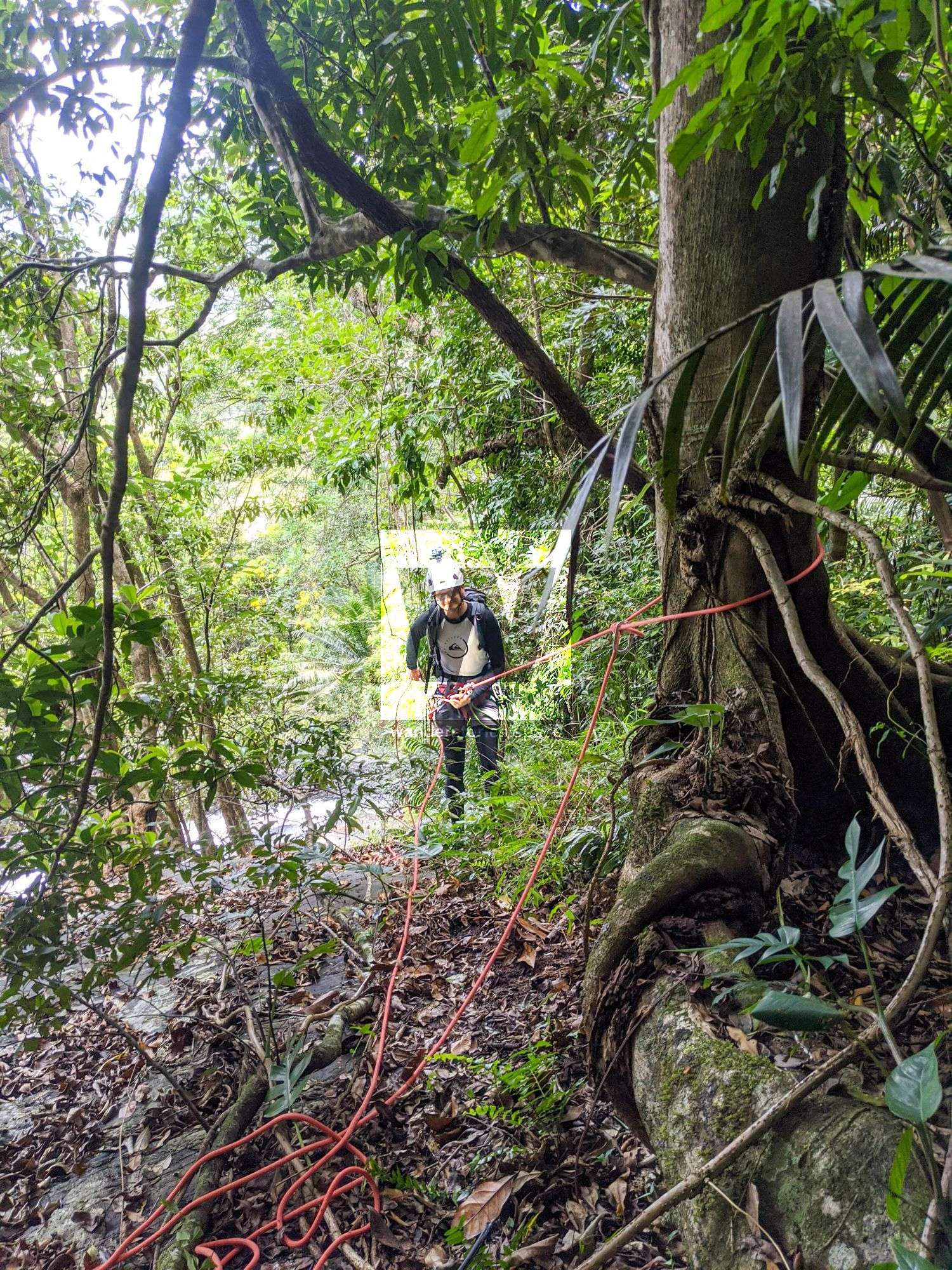
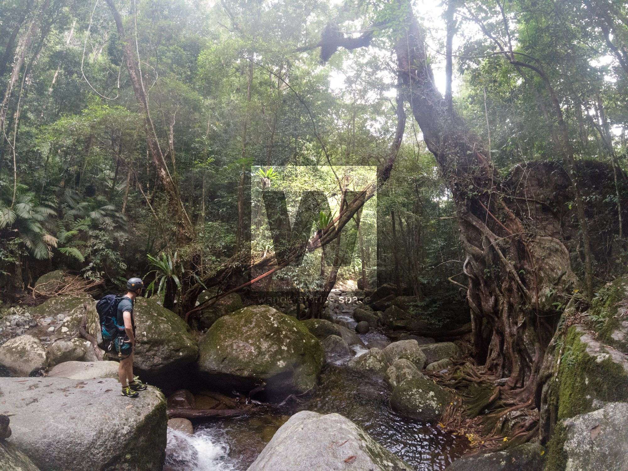
Approach
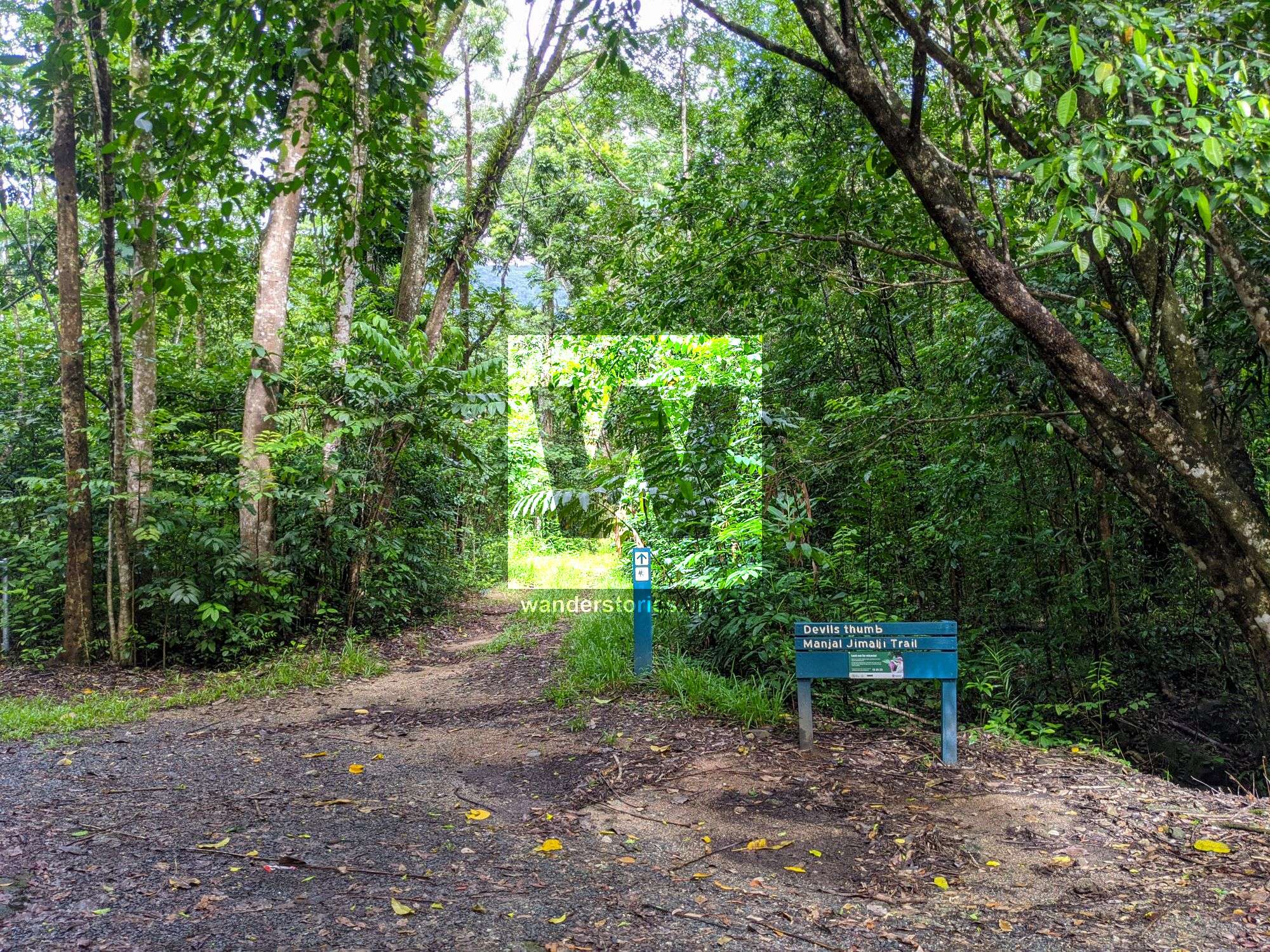
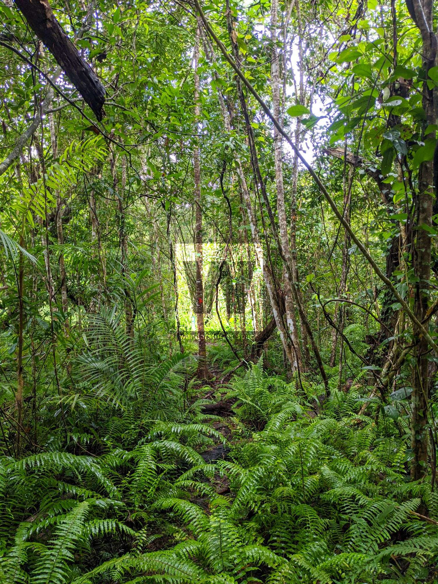
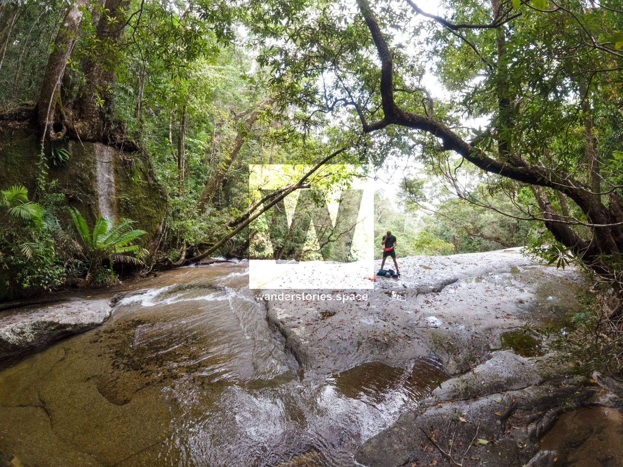
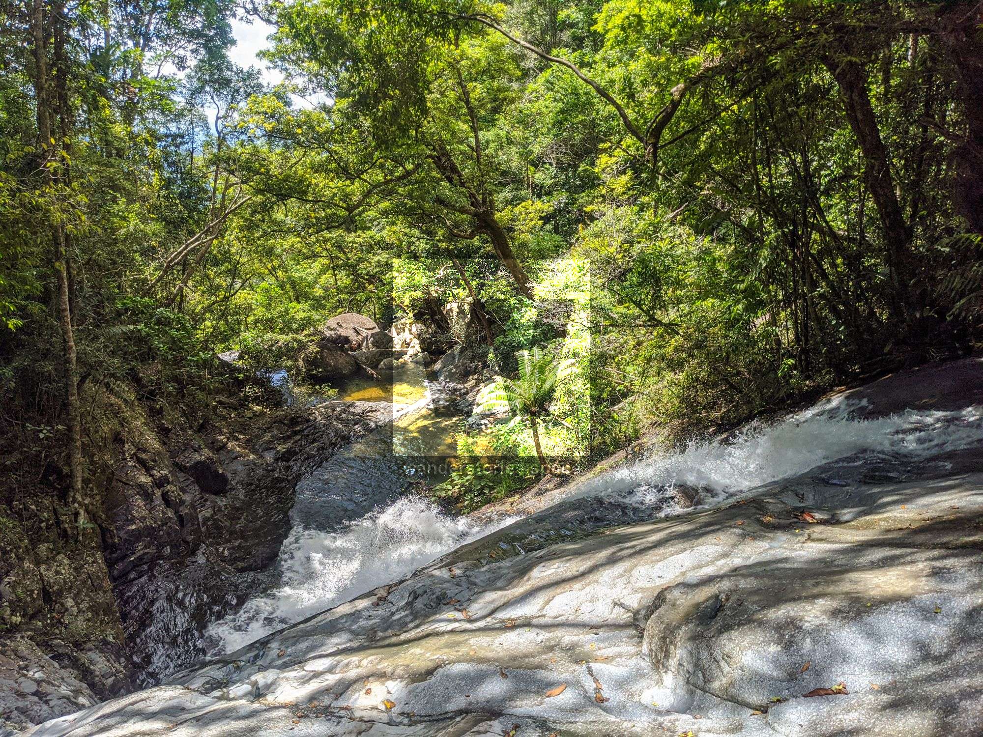
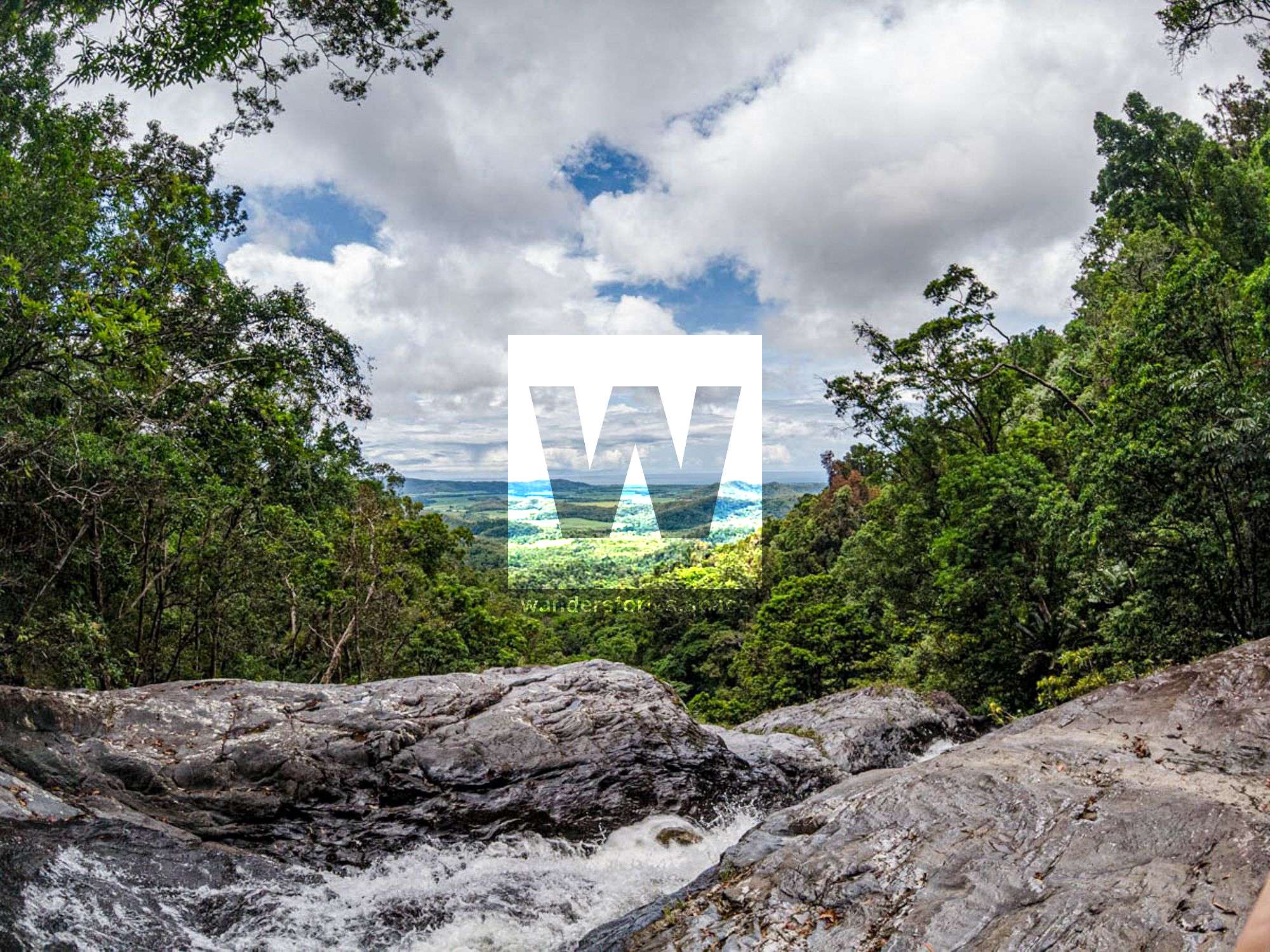
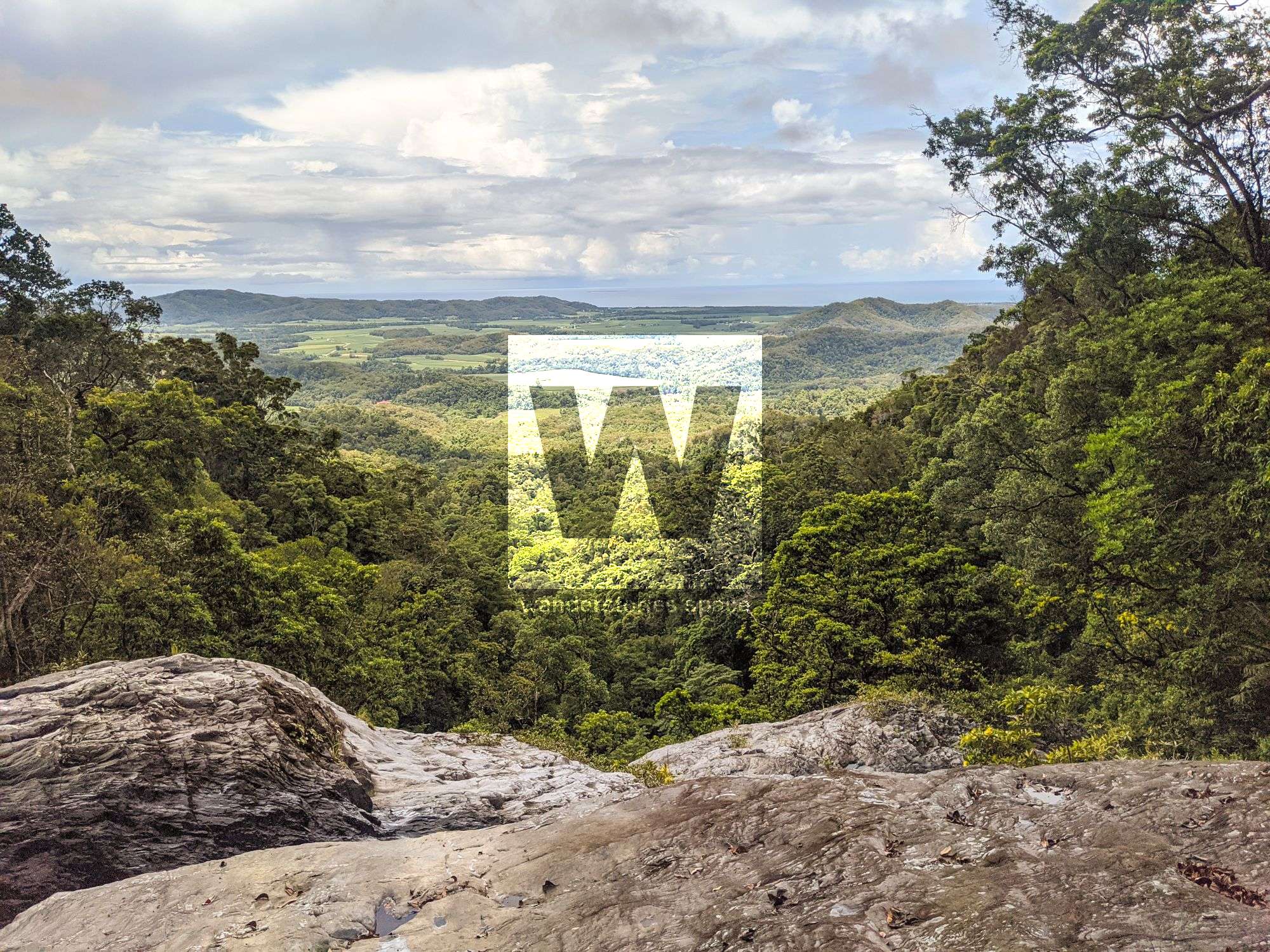
Hike up the Devils Thumb Track until above R1. Contour around off-track to the top of R1. Some pink tape here and there.
Also see High Falls, which is the creek over.
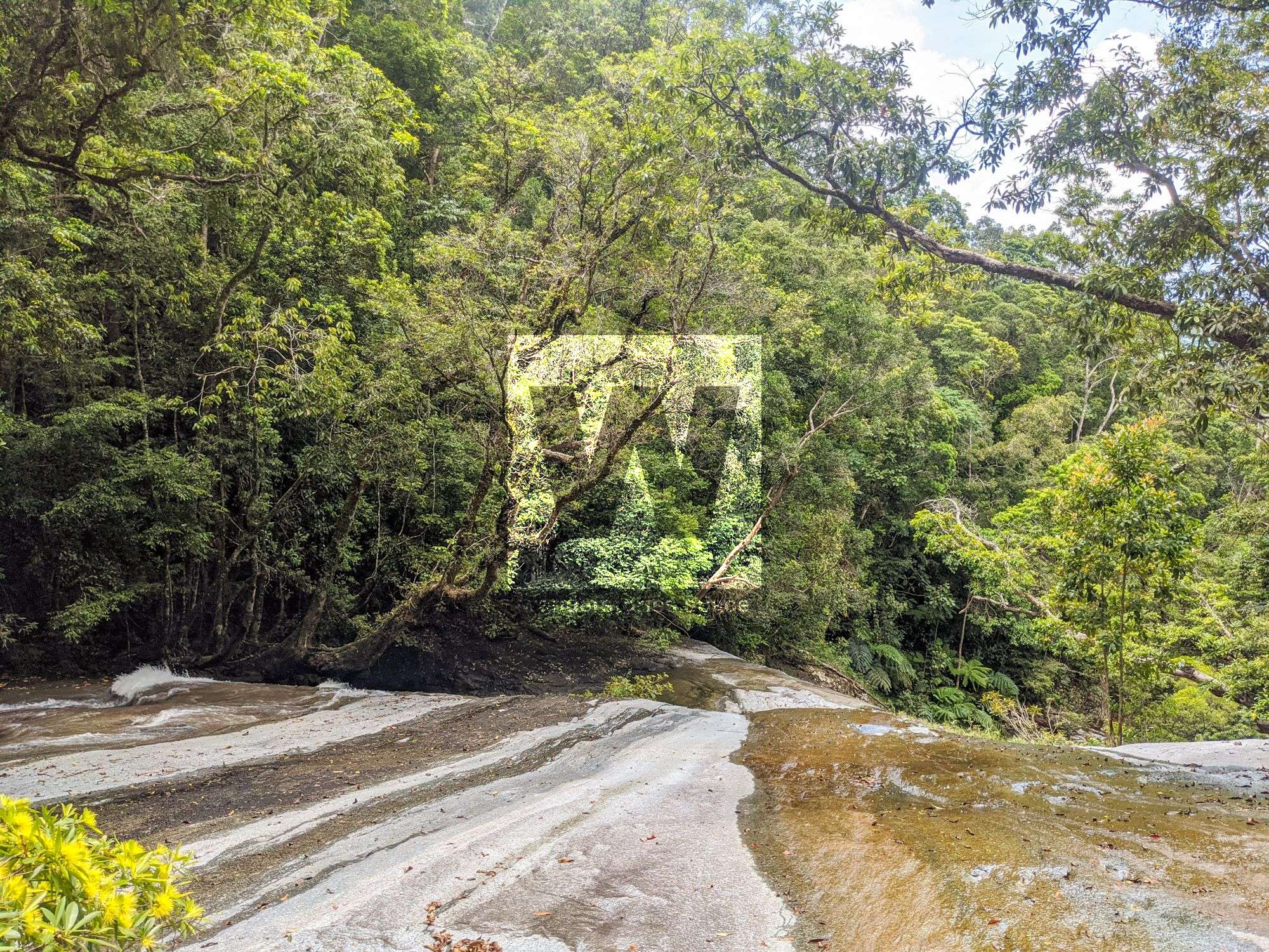
Top of Canyon
Interactive Map
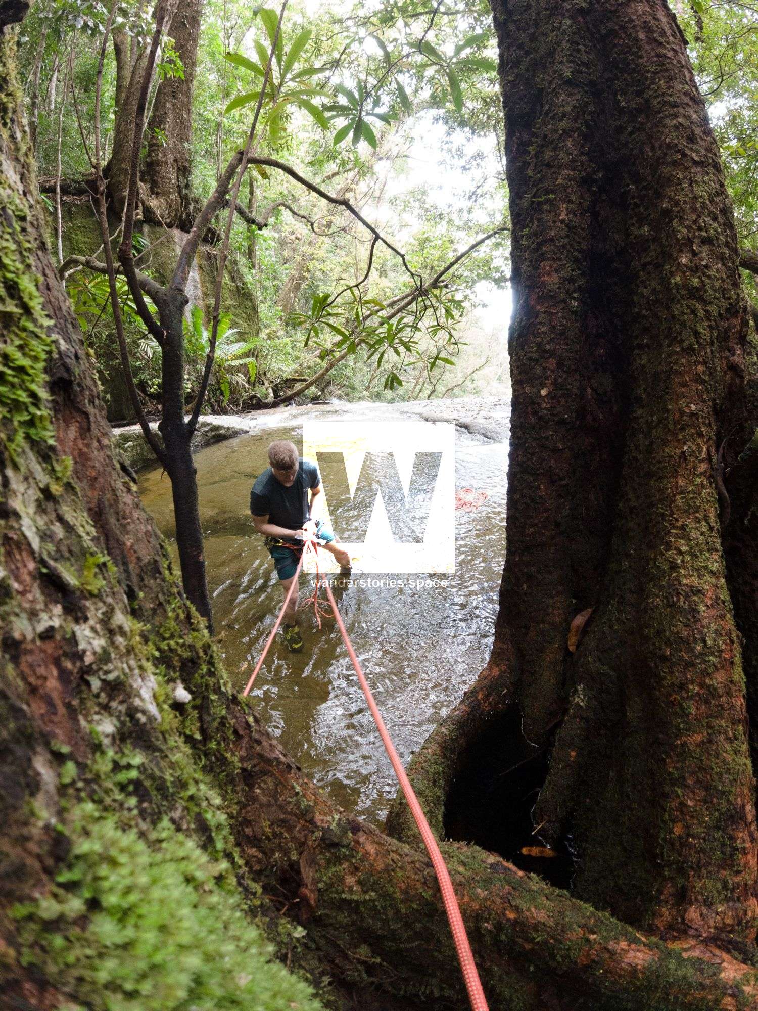
Rappels
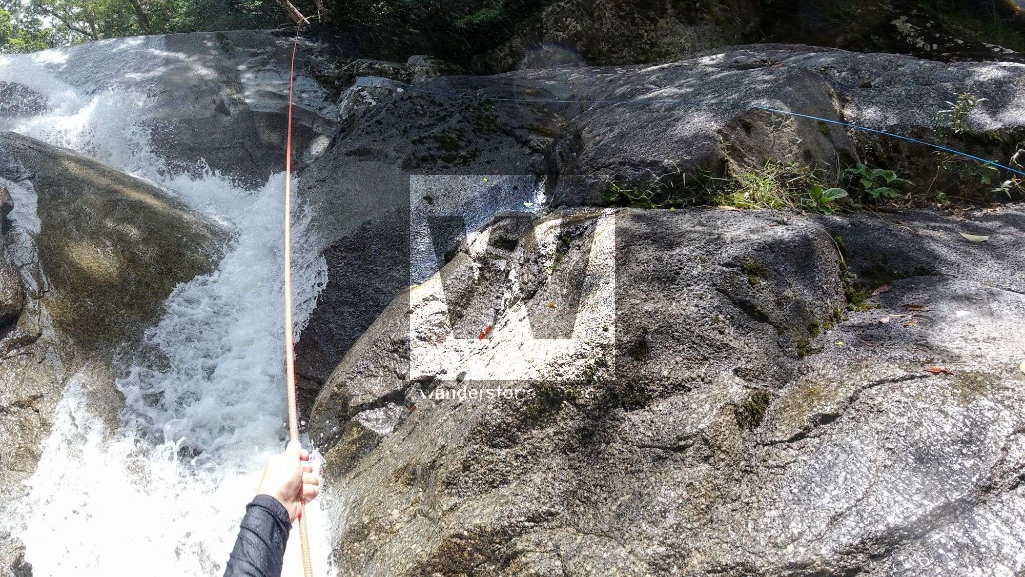
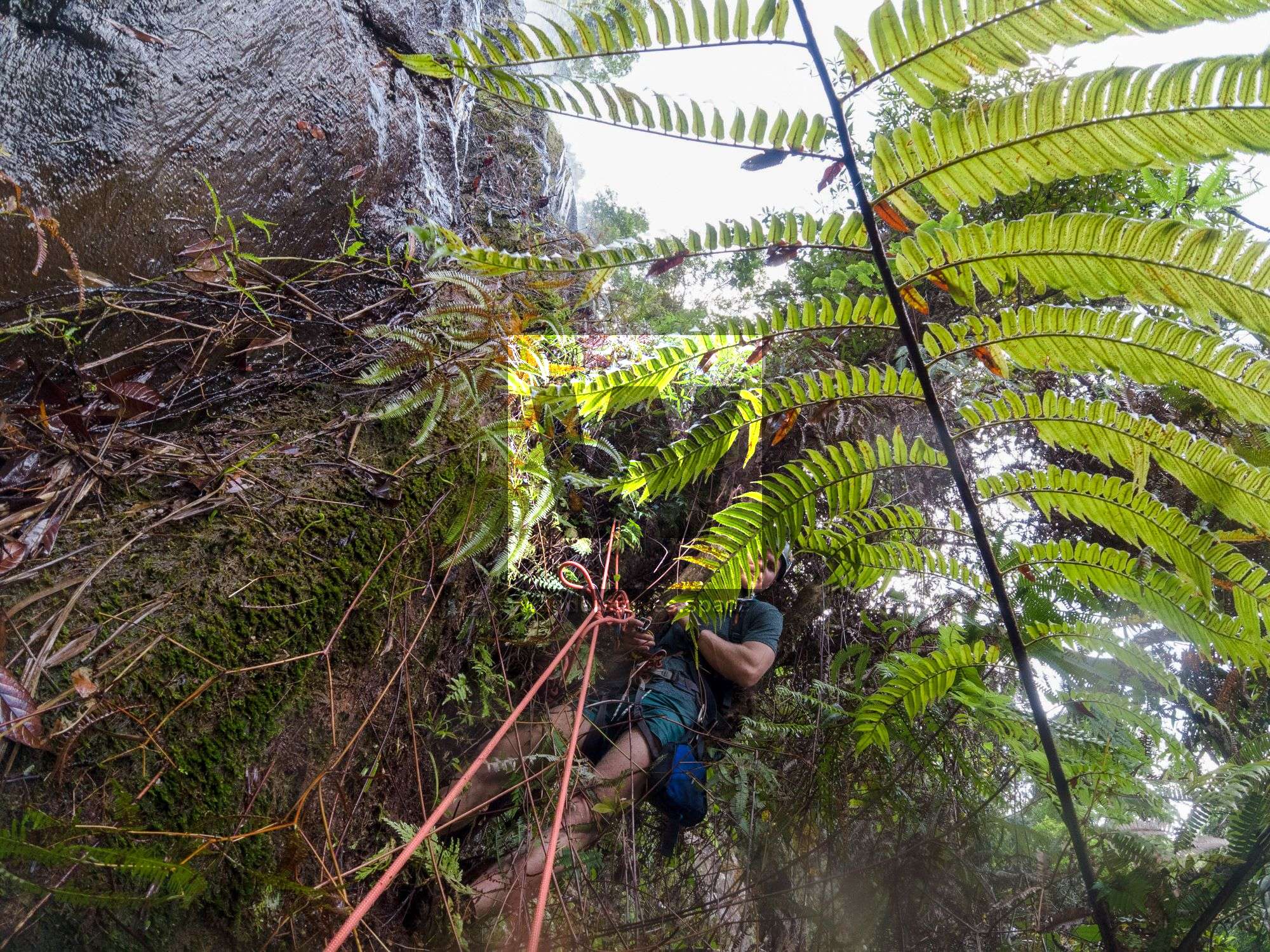
A few of these rappels can be scrambled but it's easy enough (and fun) to abseil.
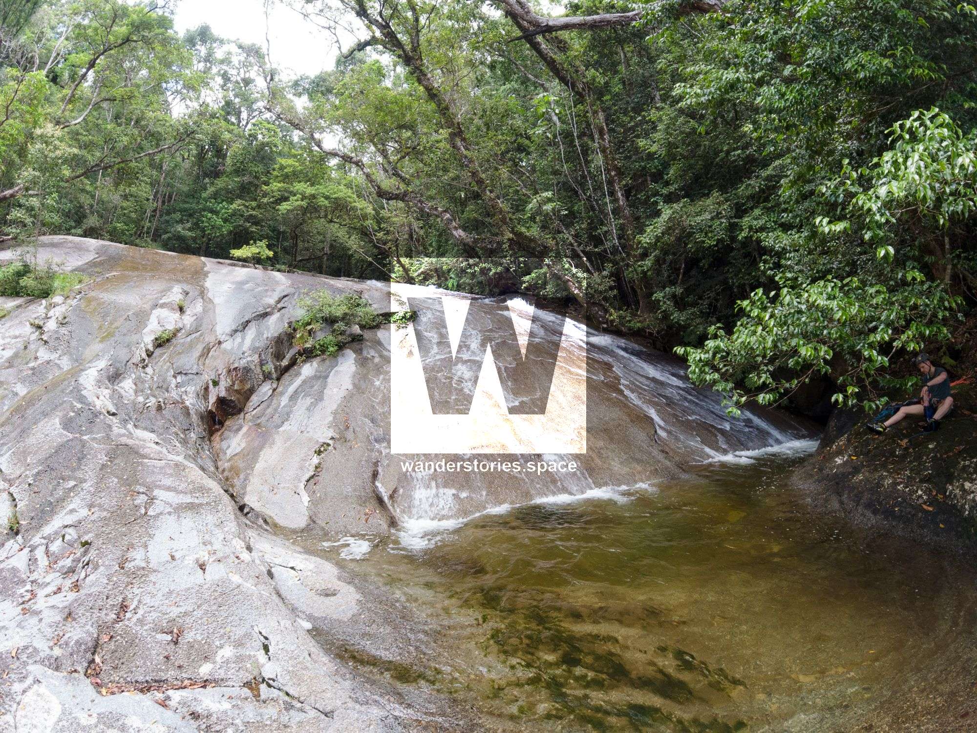
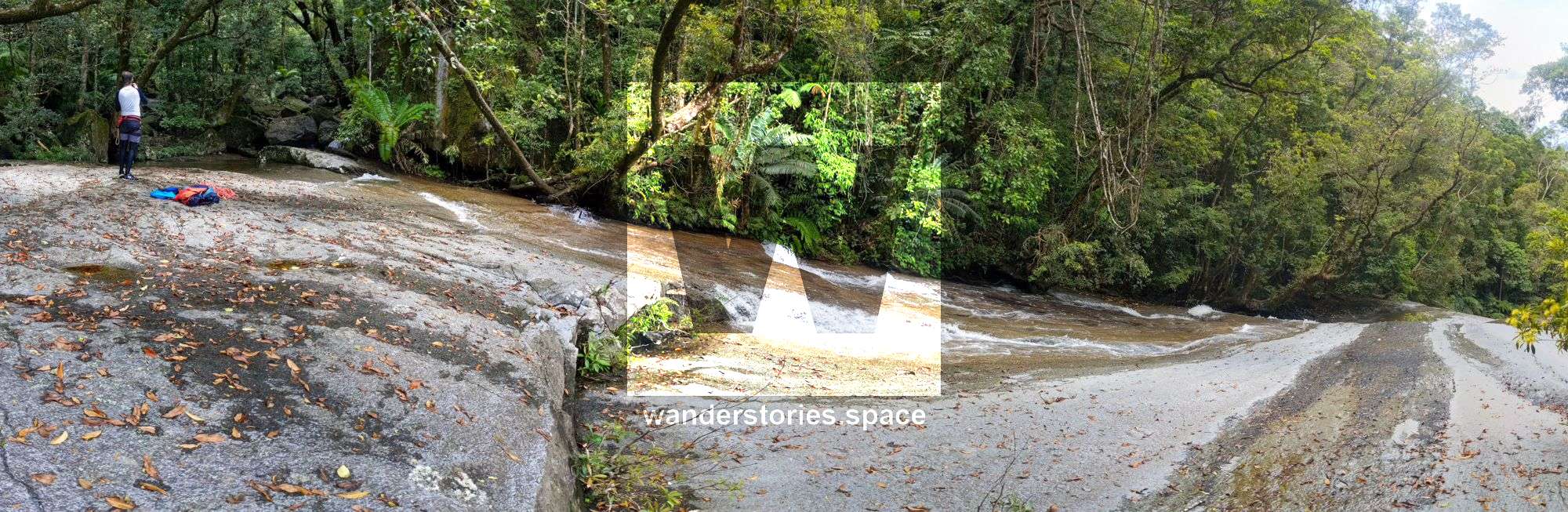
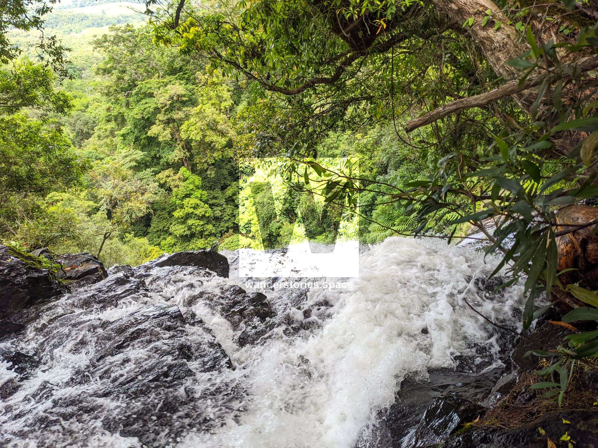
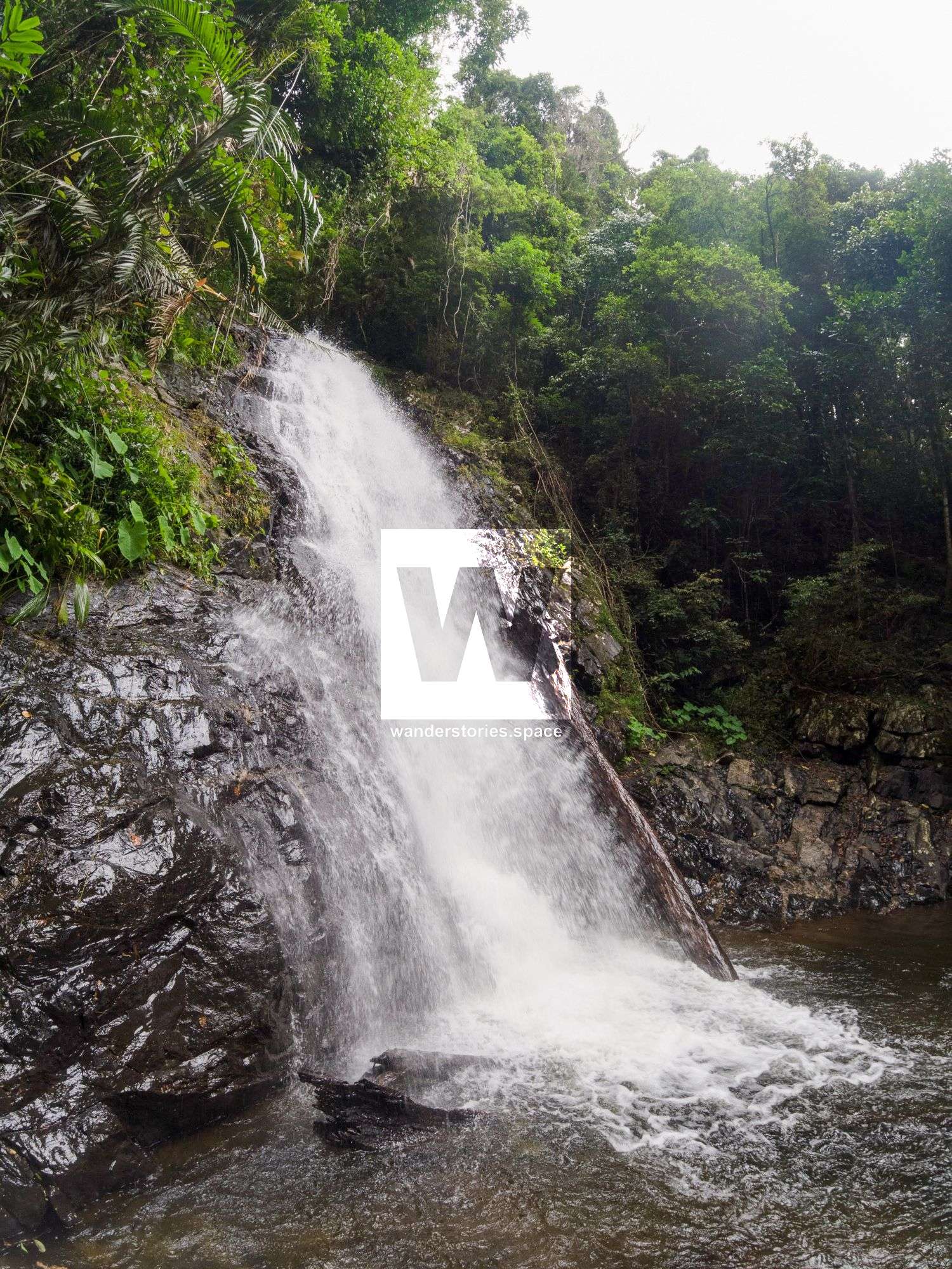
R1
R1 55m NA-TR/TC
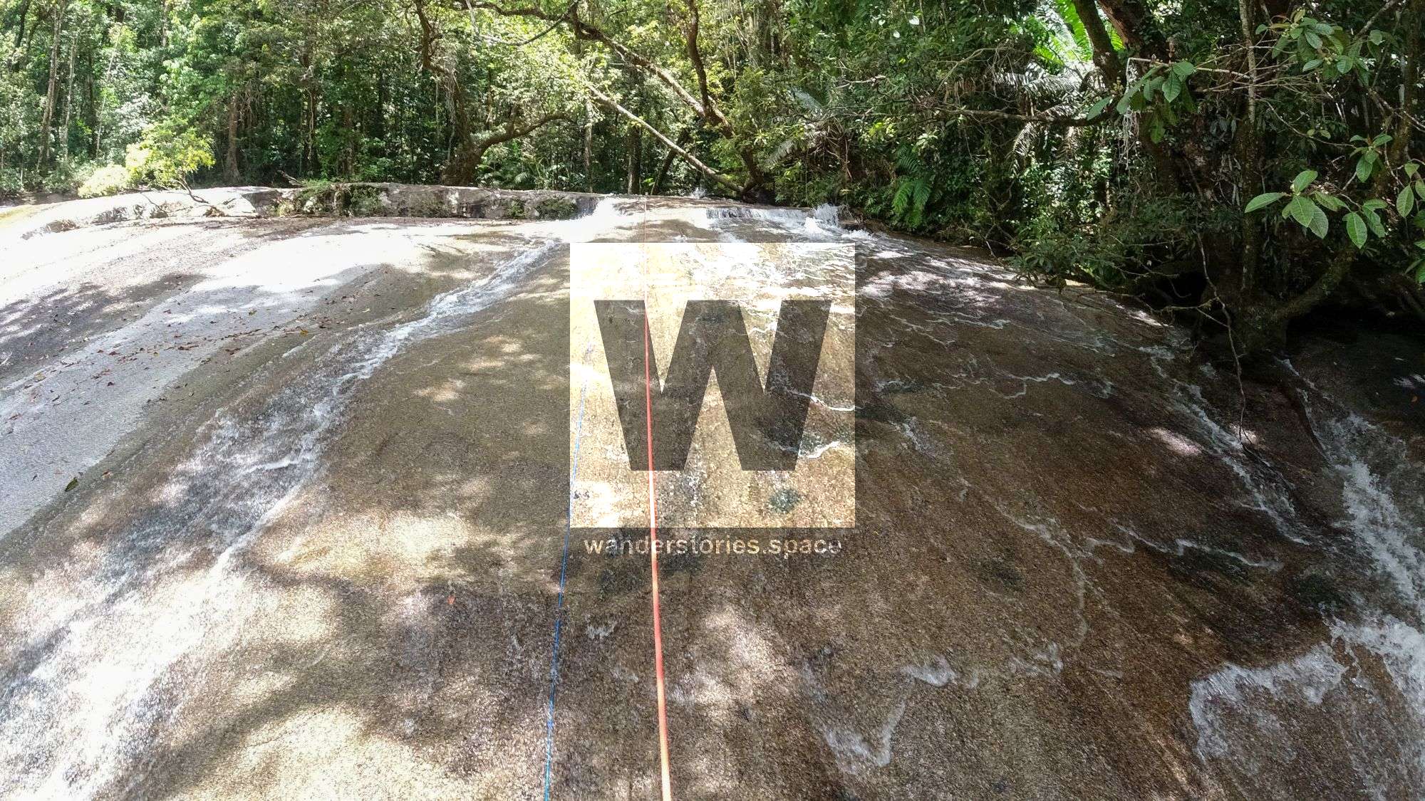
Slab (can scramble around true right) into shallow pool
This slab is quite a pretty one to rap, albeit small.
Caution 1: Be mindful of the slippery surfaces
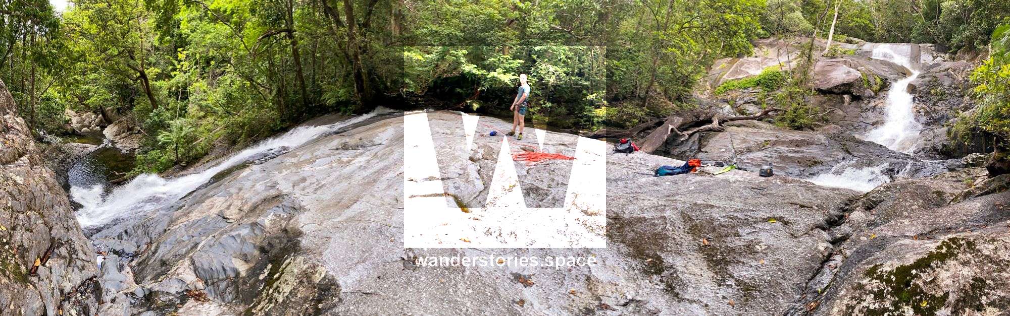
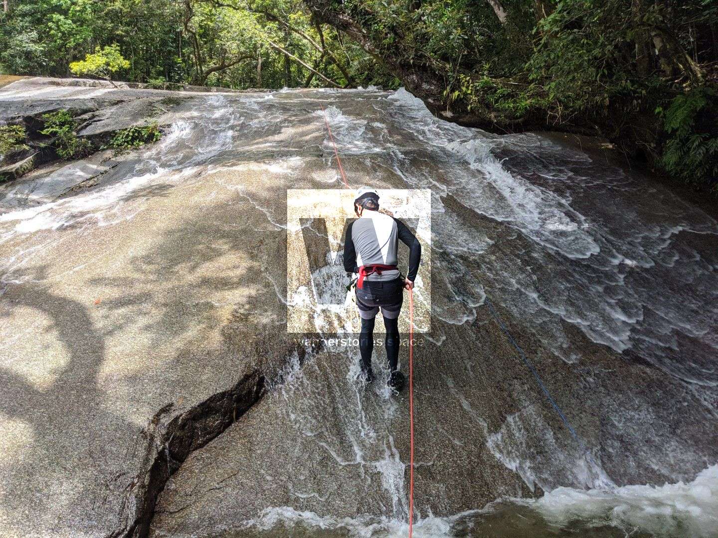
R2
R2 20m NA-TL
Another easy abseil with the option to go down in the water chute/slide. Into pool.
Caution 2: Crossing the stream in higher water can result in slipping down the falls.
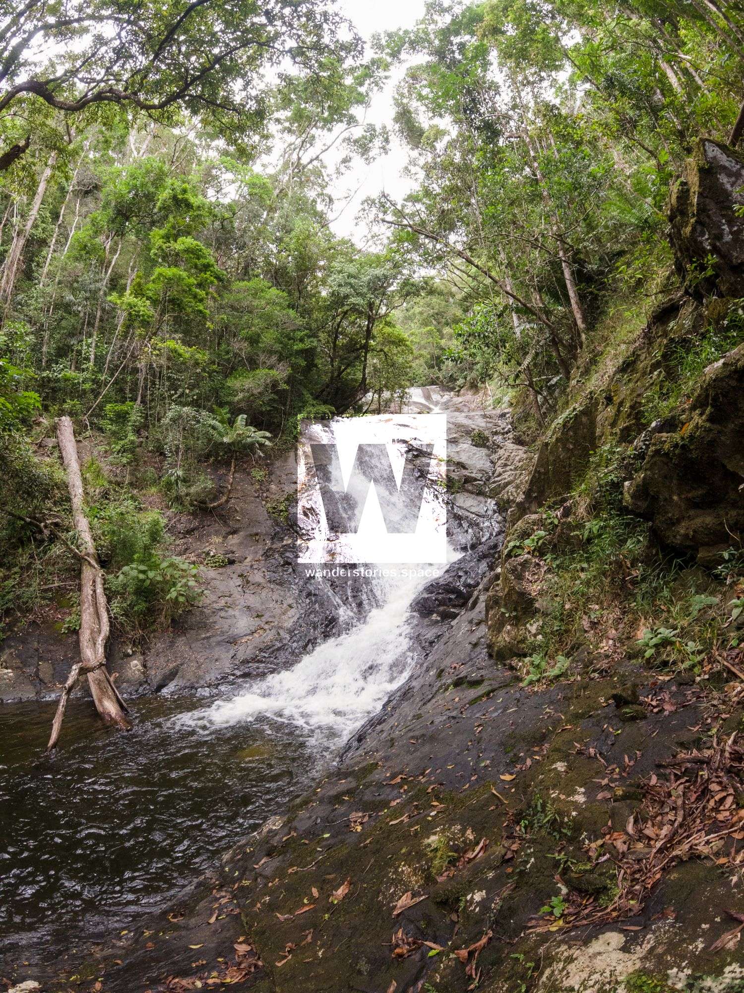
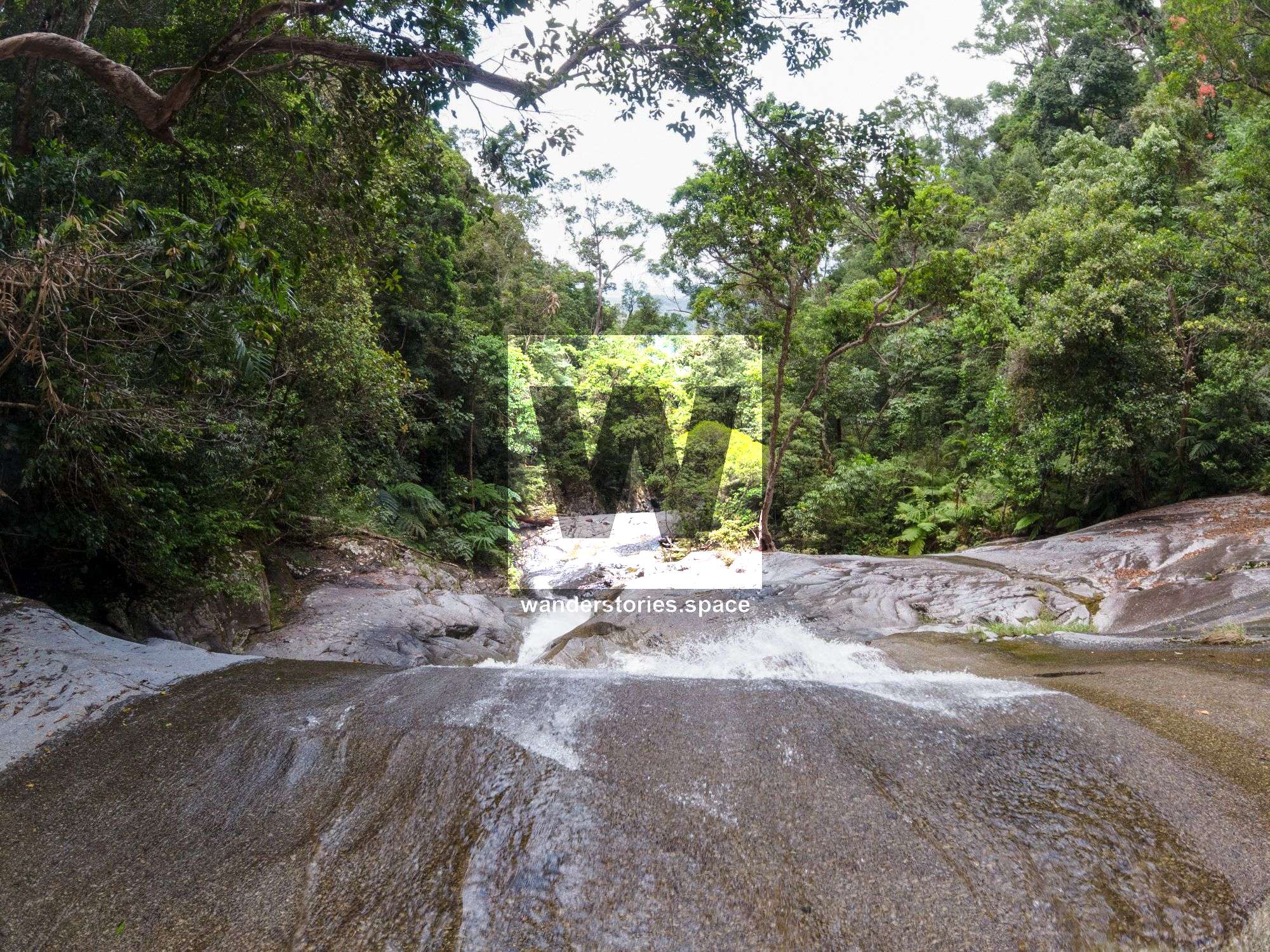
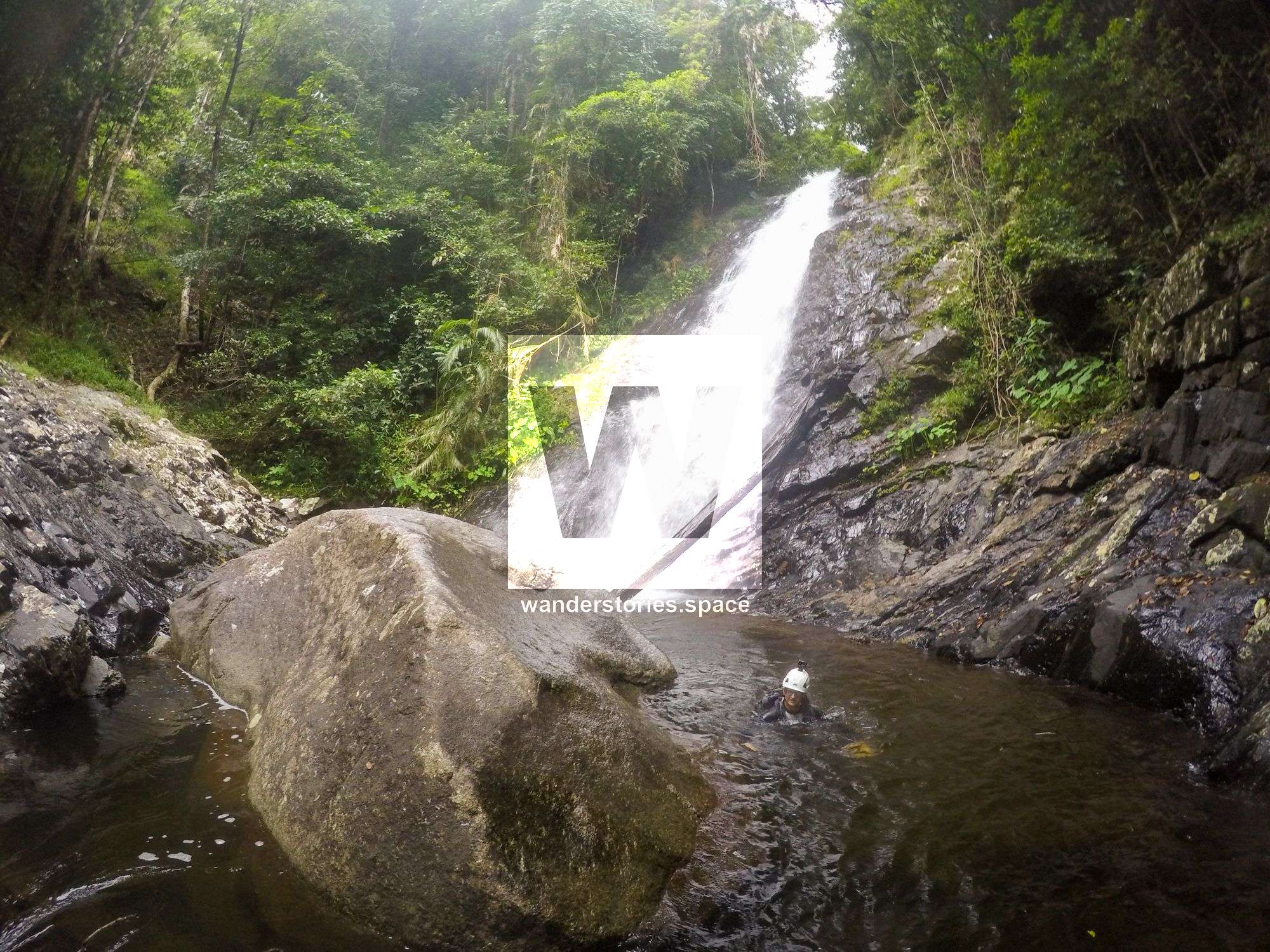
R3
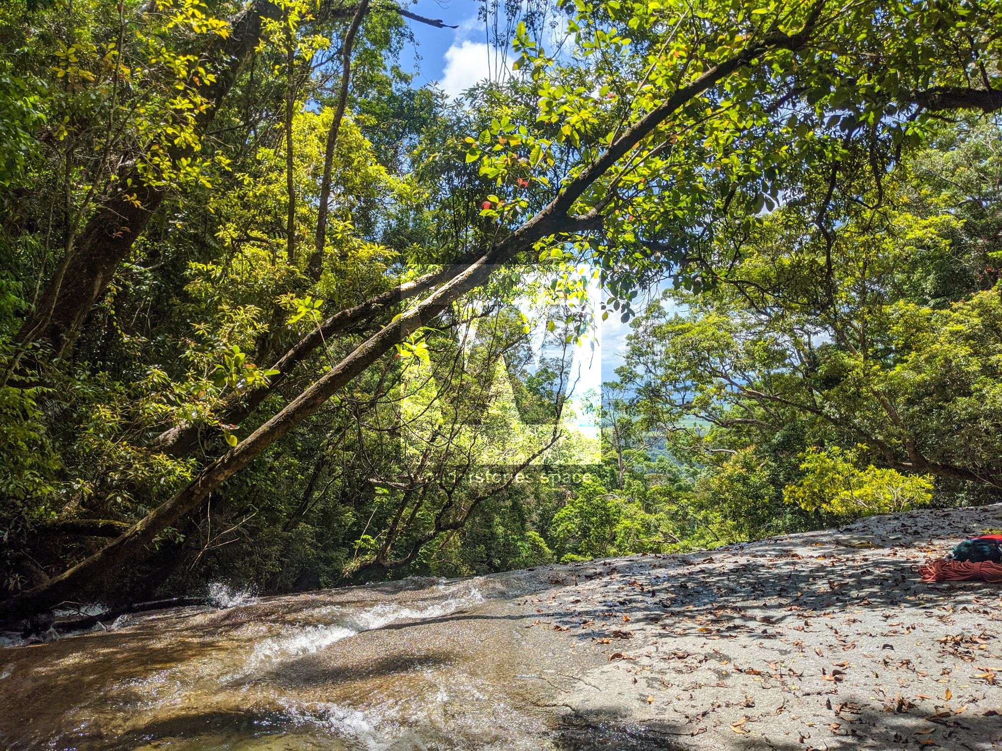
R3 35m NA-TR onto slab
Slab rap into pool.
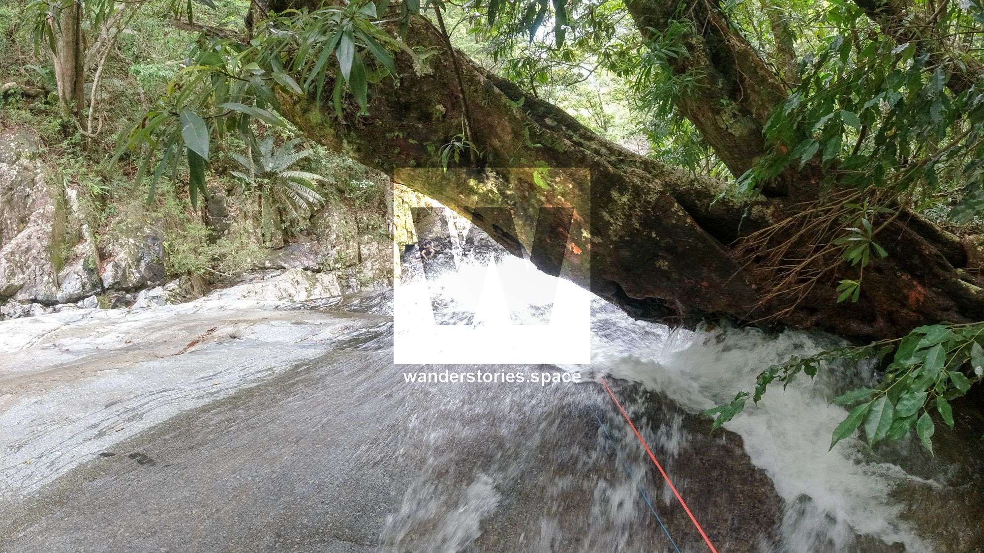
R4 8m NA-TR access pitch
A tree is used to access the ledge and main falls tree anchor.
Caution 3: Can walk down to the top but it's best to be on rope due to the high risk of slipping.
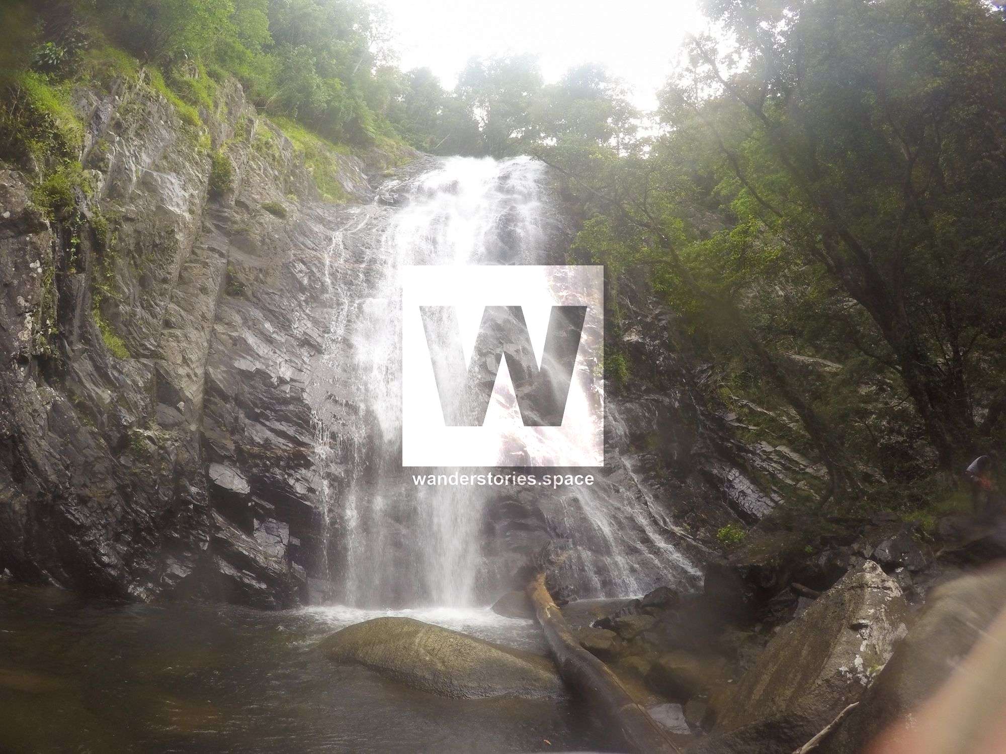
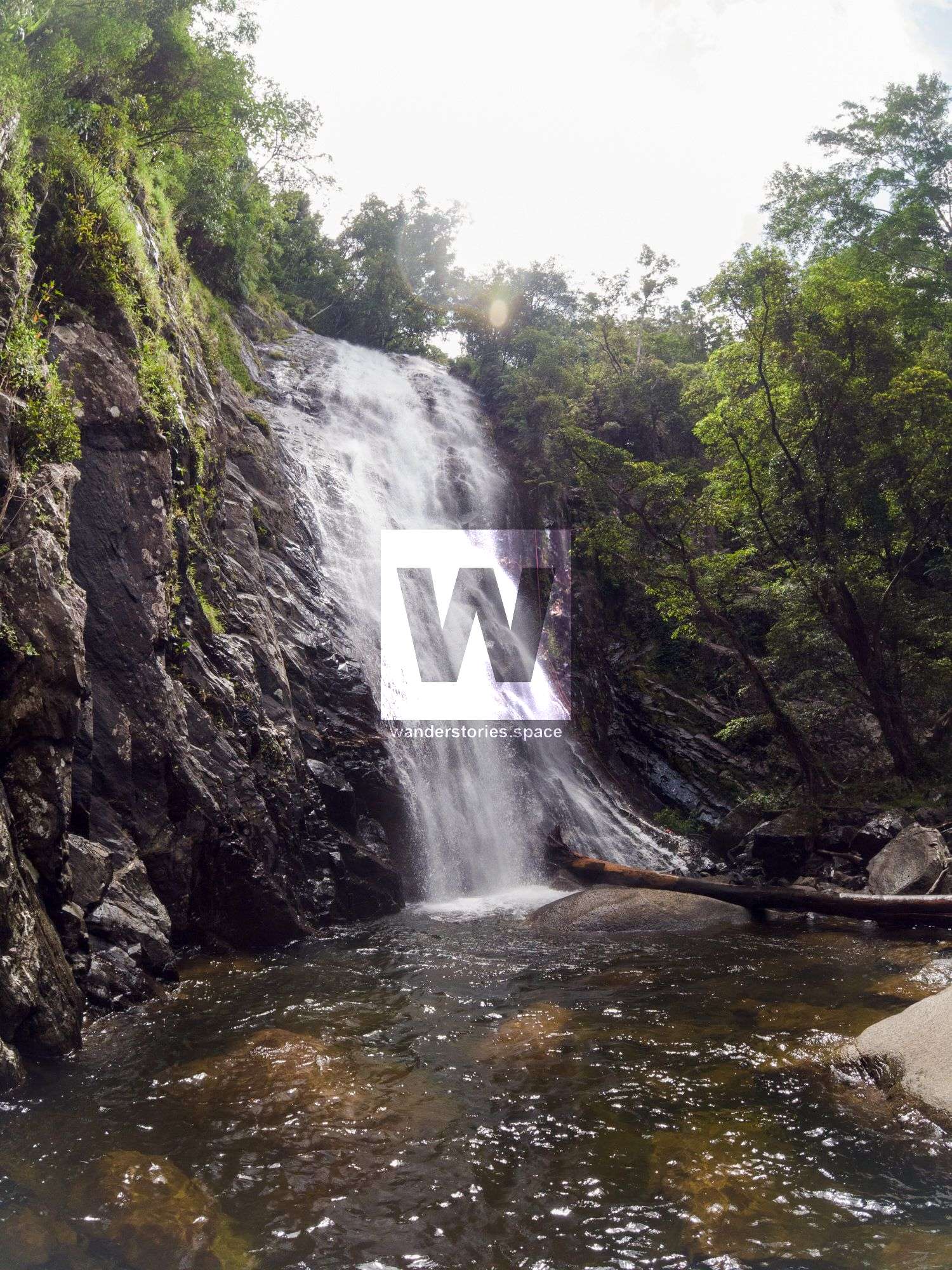
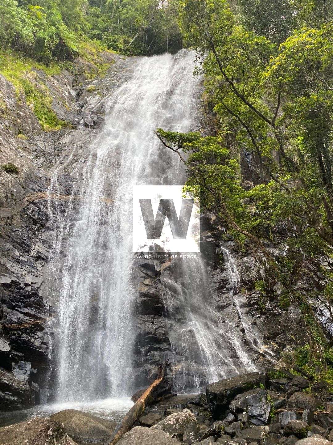
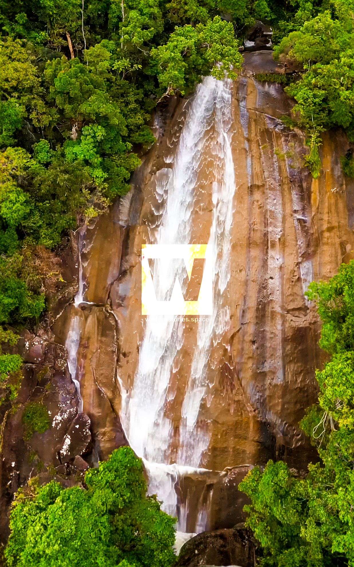
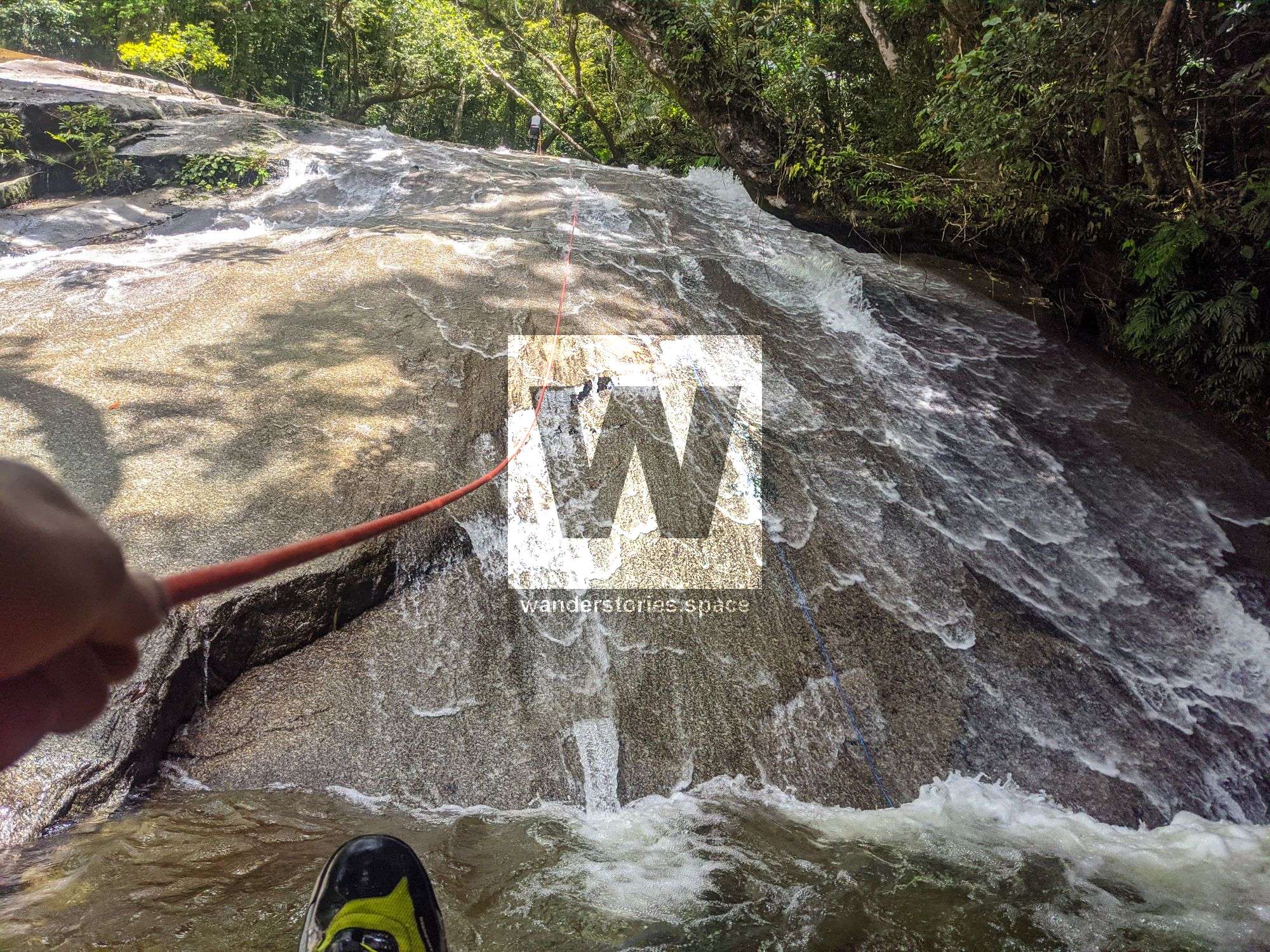
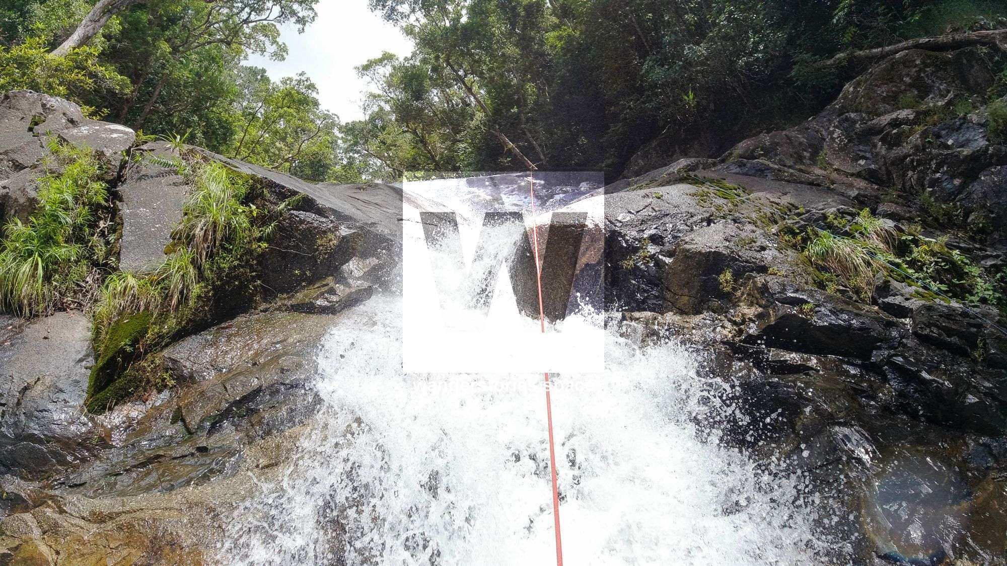
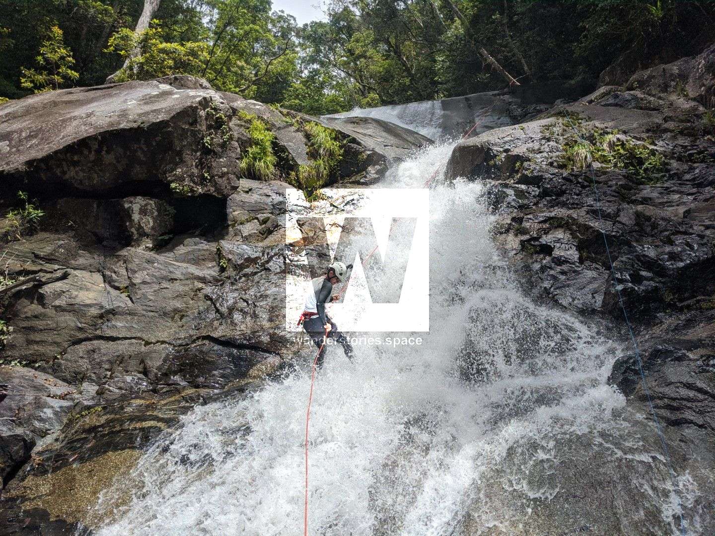
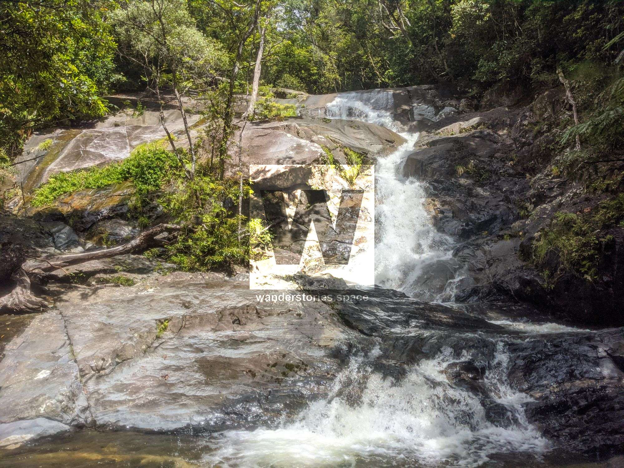
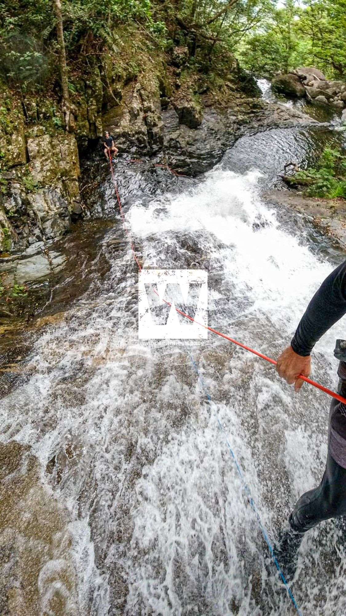
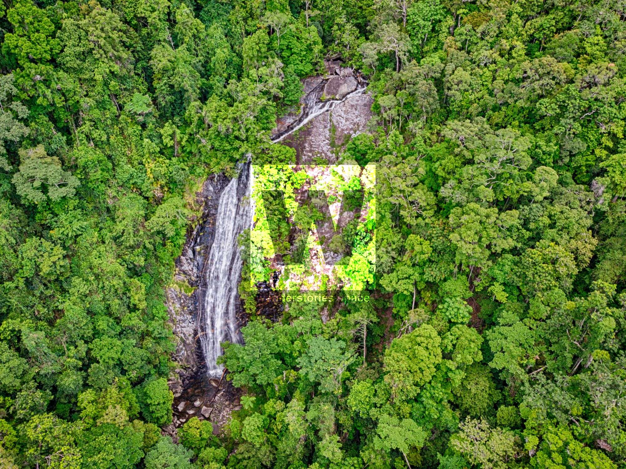
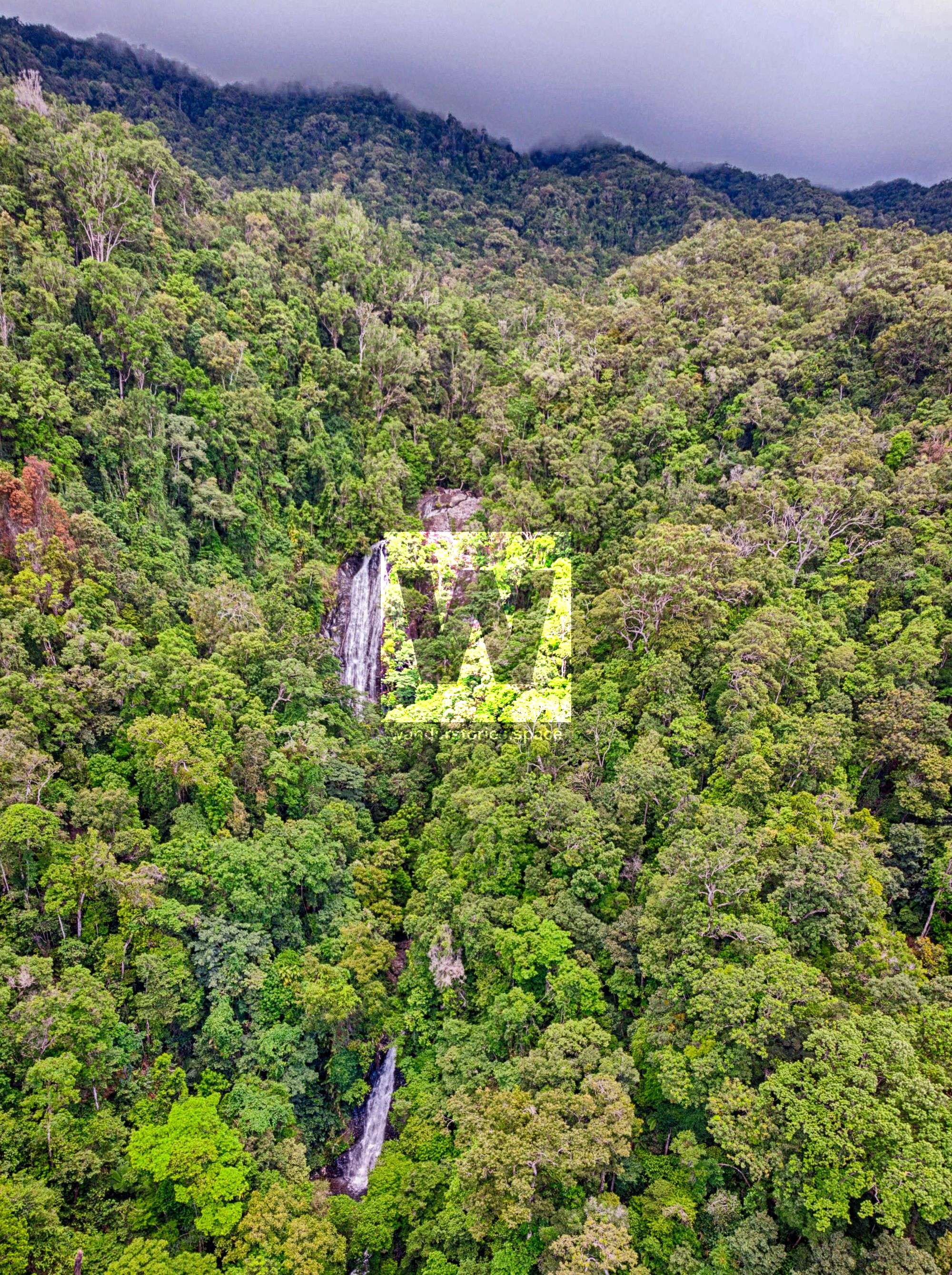
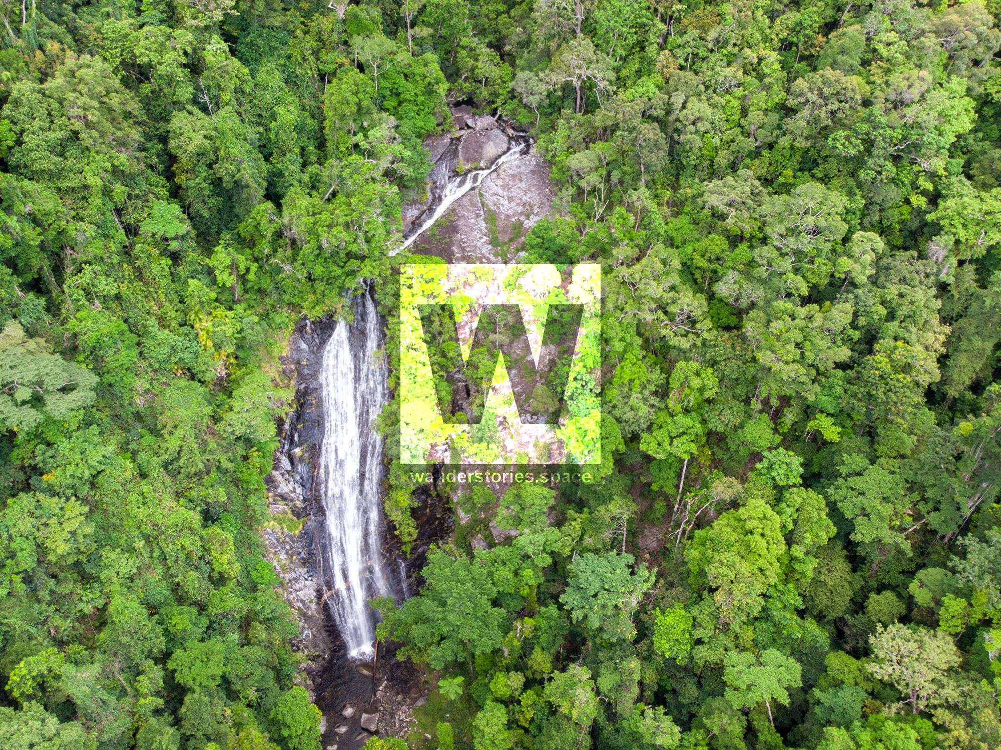
R5 Karnak Falls
R5 85m NA-TR/NA-C Karnak Falls
This can be done as a multi-pitch: NA-TR/C 65m to NA-TL 20m
Abseil from the main falls to the vegetation on TL for a semi-hanging tree anchor, if doing it as a multi.
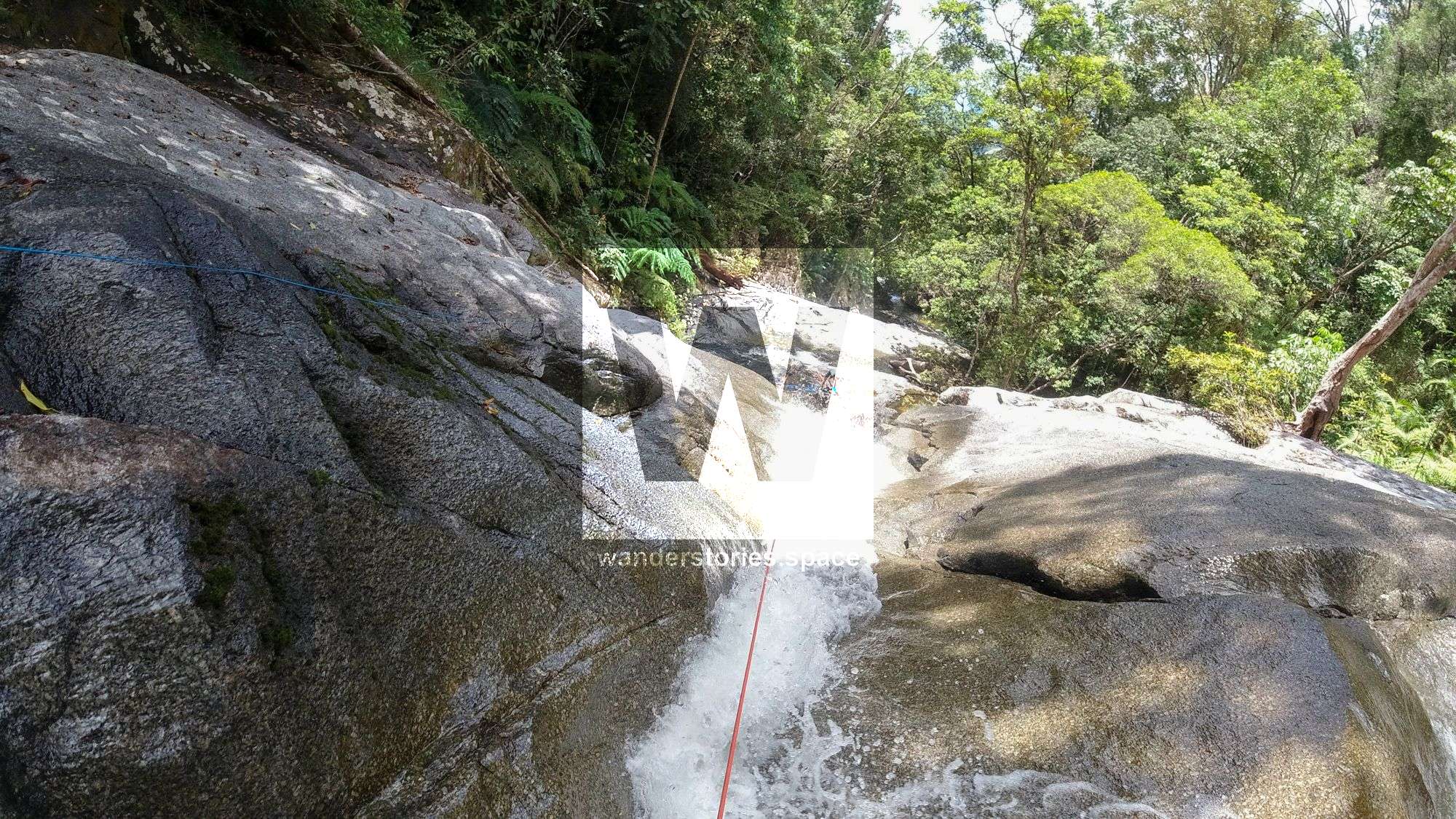
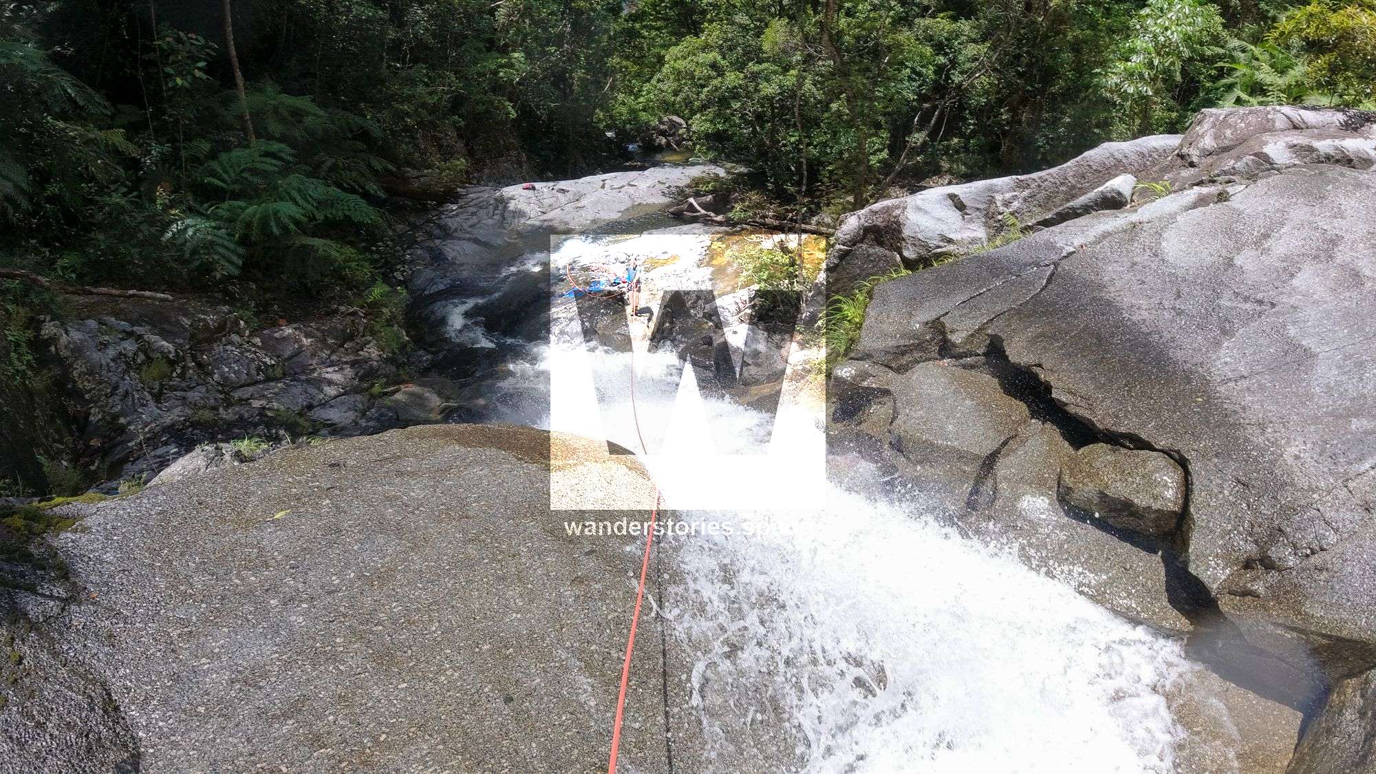
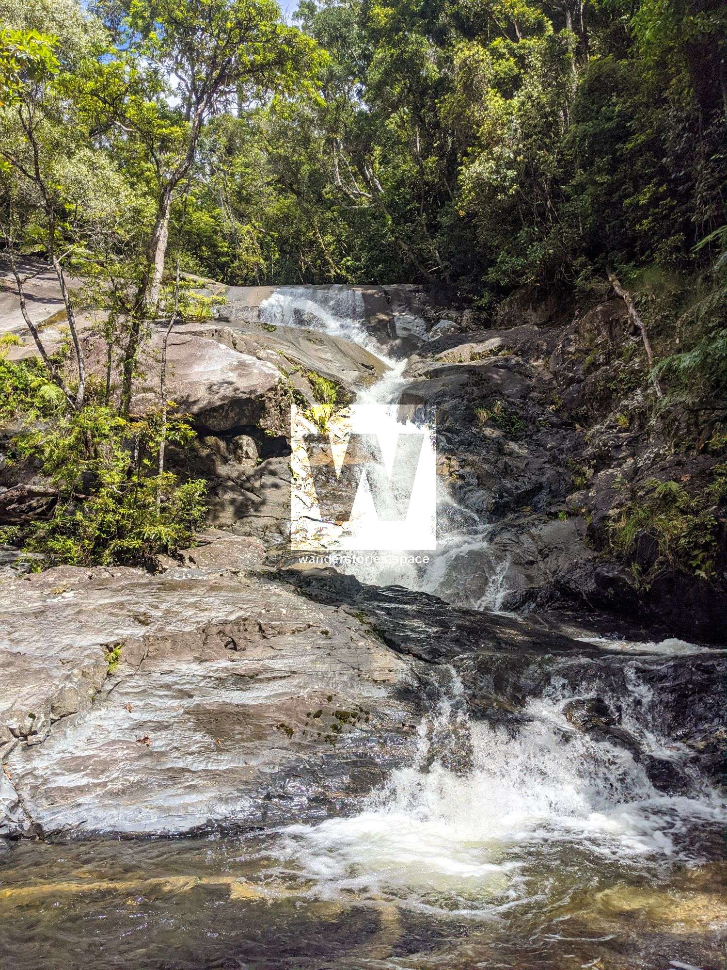
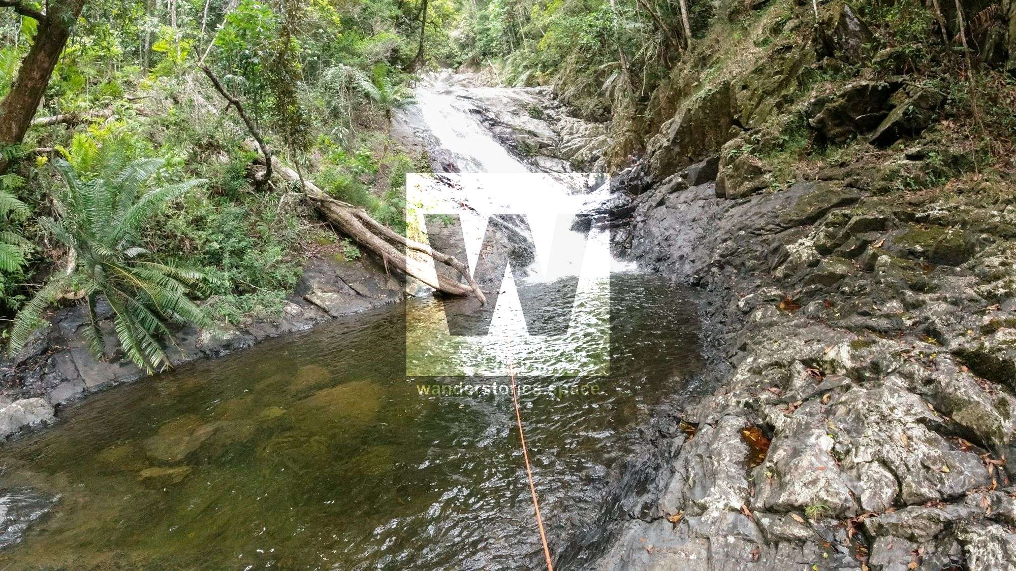
R6 35m NA-TR False Falls
Also possible scramble around TL.
Caution 4: Take care in high waters as there is a sieve below the falls.
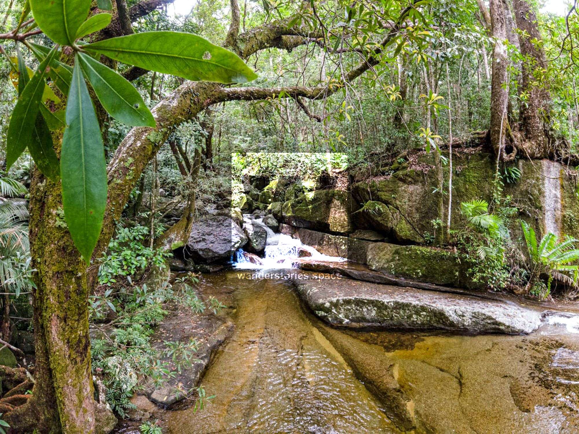
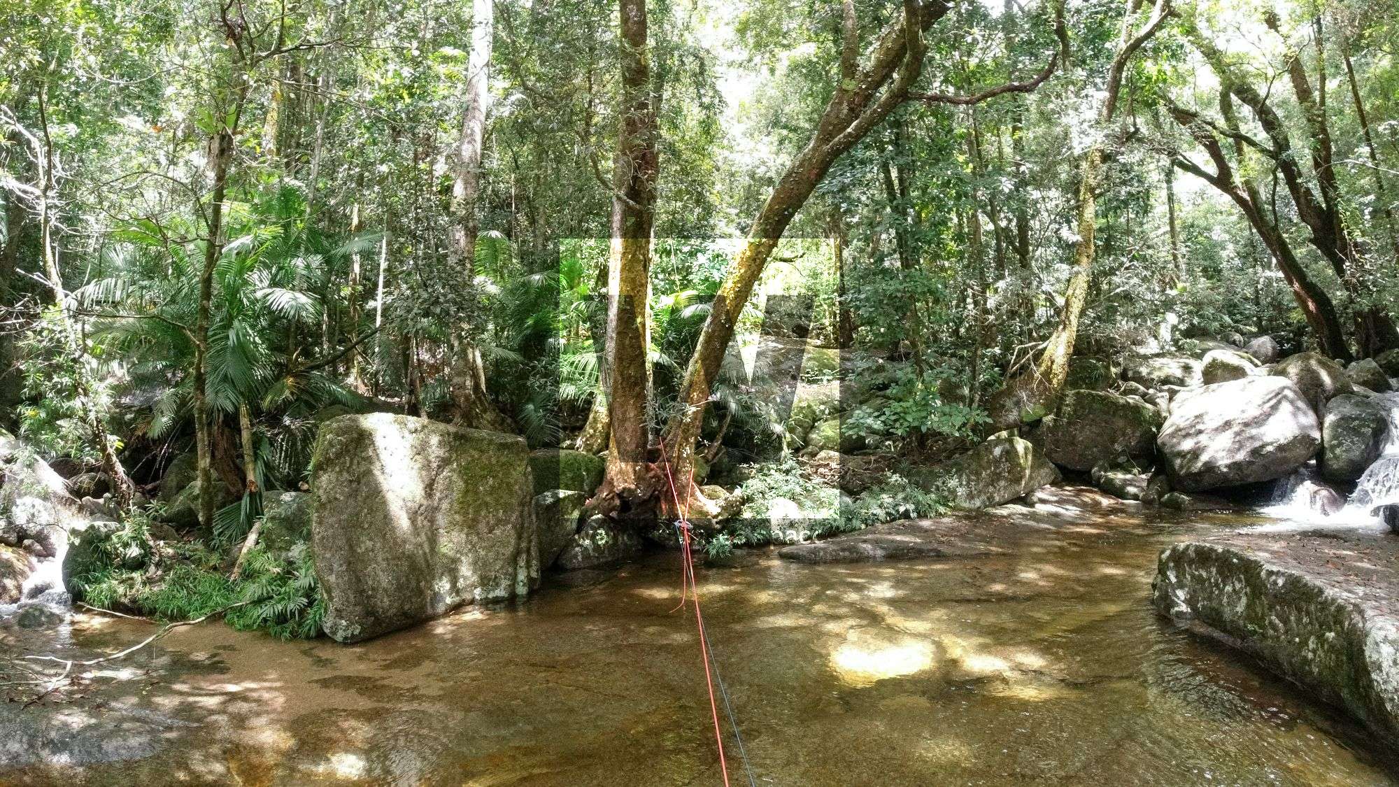
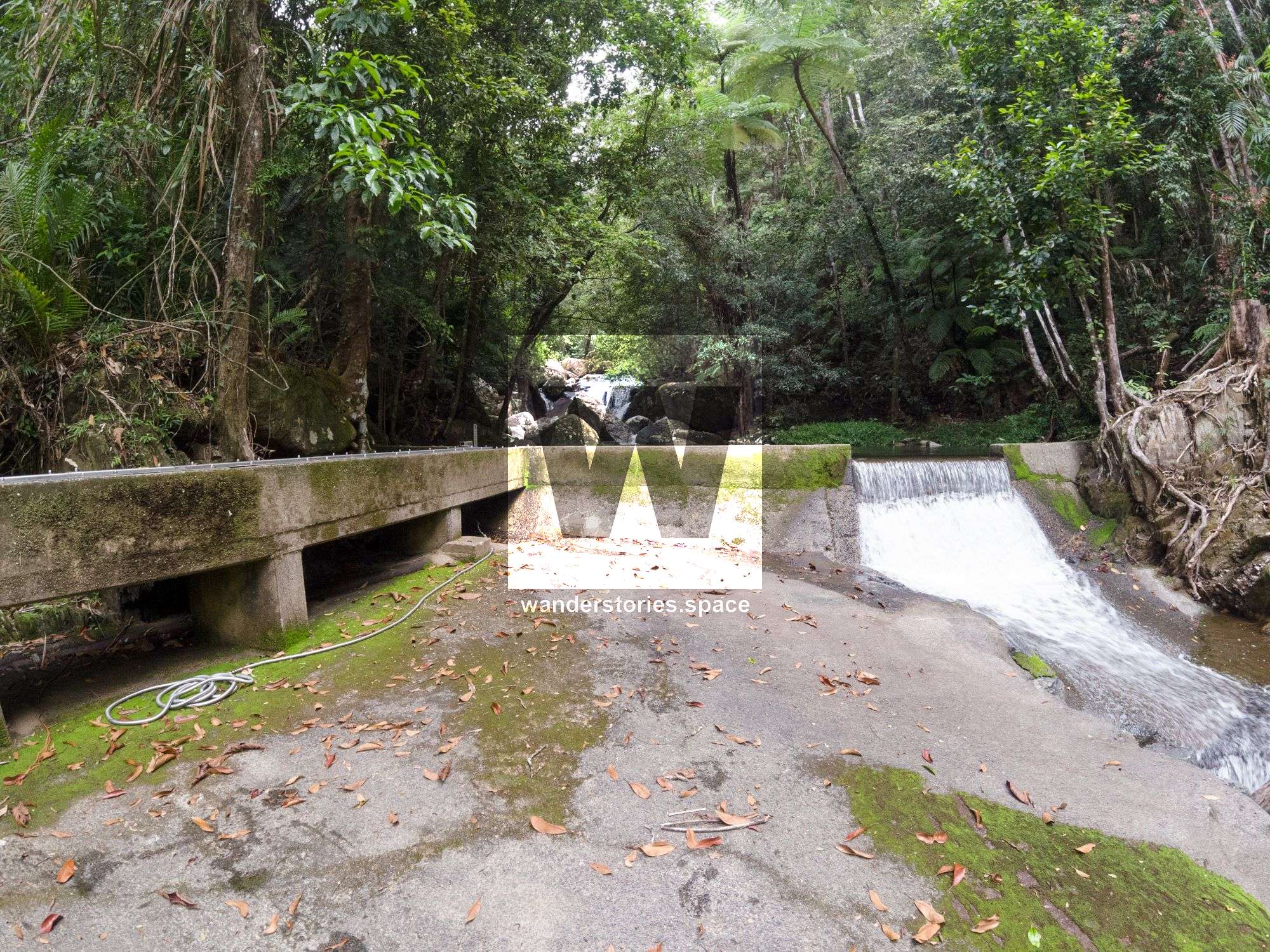
Exit
From here, rock hop down, passing the weir until reach the start of the Devils Thumb track as per the Karnak Falls track notes.
Notes
Your team should have good navigation skills and appropriate experience.
WHAT YOU WILL NEED
- Experience in abseiling (there are some technical challenges)
- Enough rope for the longest rappel
- Rappel devices, prusiks, and webbing
- Grippy shoes on smooth, wet granite rocks
- Helmet
- Backpack
- Food and snacks for the day
- About one litre of water to hike to the top and a way to sterilise your water from the creek
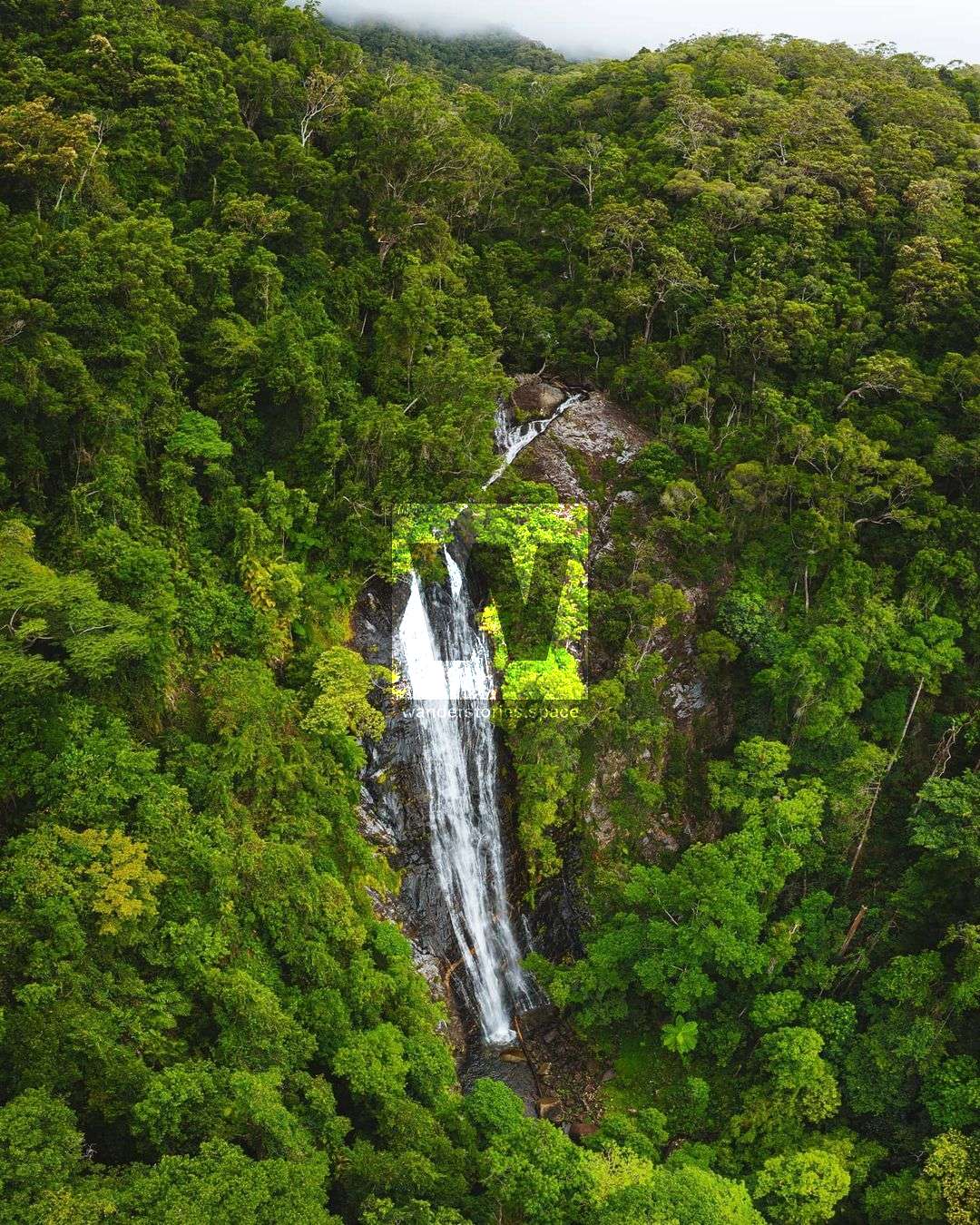
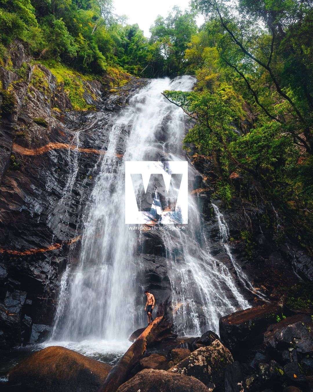
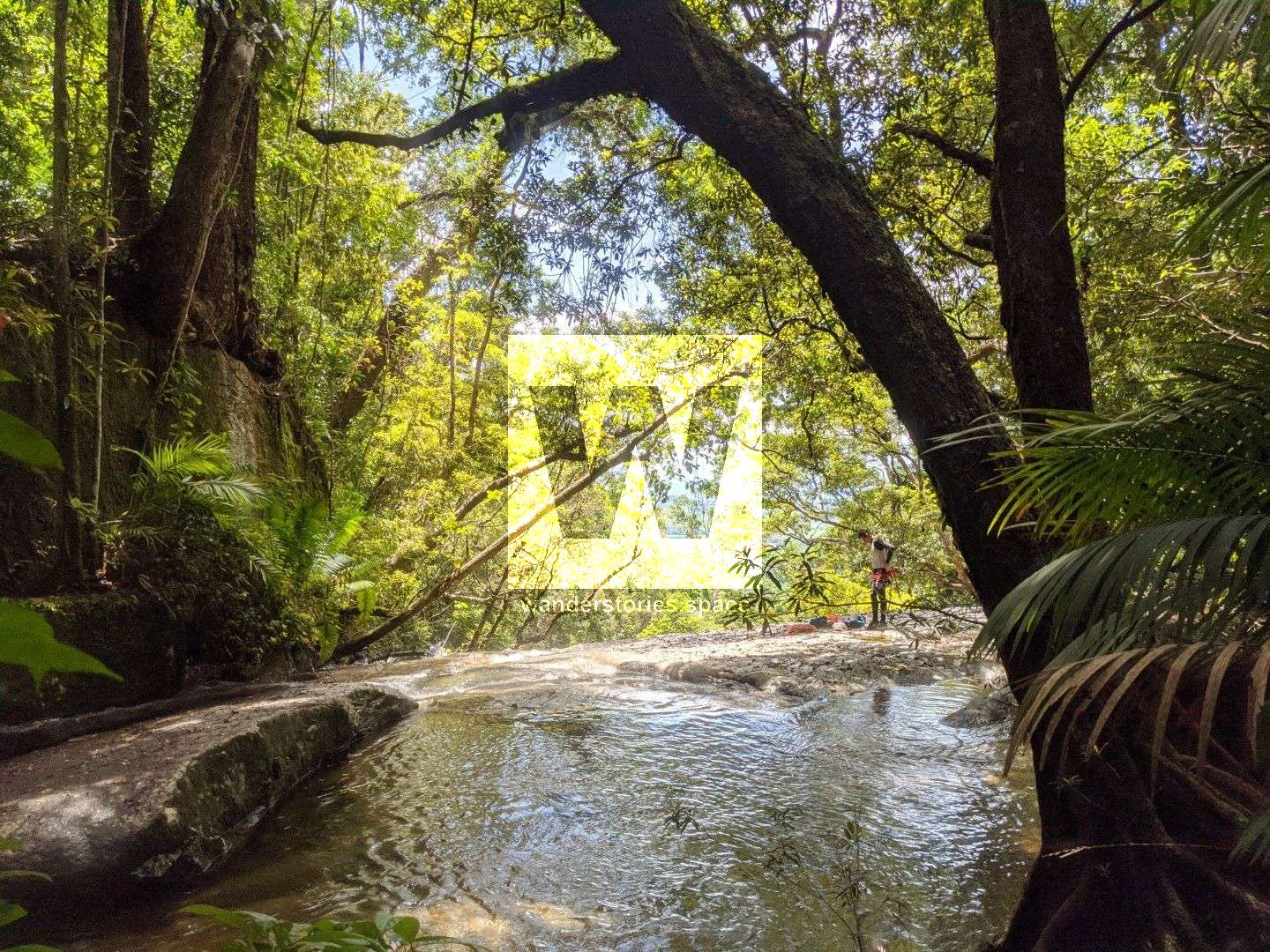
Karnak Falls and False Falls; Photo credit: @reubennutt
Anchoring notes
There are various natural anchors throughout the canyon, however, it is not unusual to come across damaged trees, especially after large flooding events. Please use sound judgement when considering previously installed anchors, like tape slings, ropes, and other textiles. There are no bolts in this canyon.
Surfaces
Along the route, there are various sections of wet, slimy, and dry rock, as with all canyon environments. Please be mindful of your traction and regularly test your grip throughout the route as you cannot rely on the colour or texture of the rock to determine its safety against slippage. Take caution when near cliff edges.
Experience
No responsibility or liability is taken for any harm, death or loss of property resulting from the use of this article. You must carry anchor building materials, be experienced and use your own judgement when canyoning. Flooding events can strip anchors and change the canyons layout and conditions. Improper and insufficient experience will result in serious injuries or in many cases death. Always respect all signs you encounter and take everything in you brought with you.
Please read the Beginners' tips for canyoning in North Queensland article.
See our general disclaimer that includes canyoning.
Canyoning Topo
This canyoning topo is for illustration-purposes only.
Legend
X / XX - Single and twin bolt anchor.
NA - Natural anchor such as a tree or rock.
TL / TR / C - True left, true right and centre when looking downstream.
R1-8m / R2-6m - First rappel and its height in metres, second rappel and height.
Optional - These rappels can be avoided by exiting prior or walking around.
Please note that an activity permit may be required in national parks.
If this information is outdated or you would like to make a correction, please contact us.
This article, and all other articles, are for entertainment purposes only and are not to be used as a guide. Please see our Disclaimer for more information.