Mount Burrumbush (Feltham Cone)
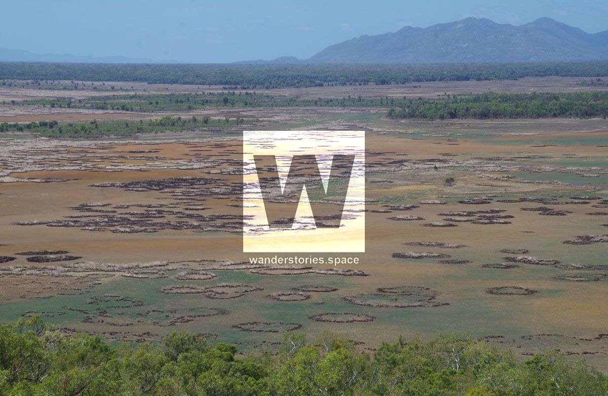
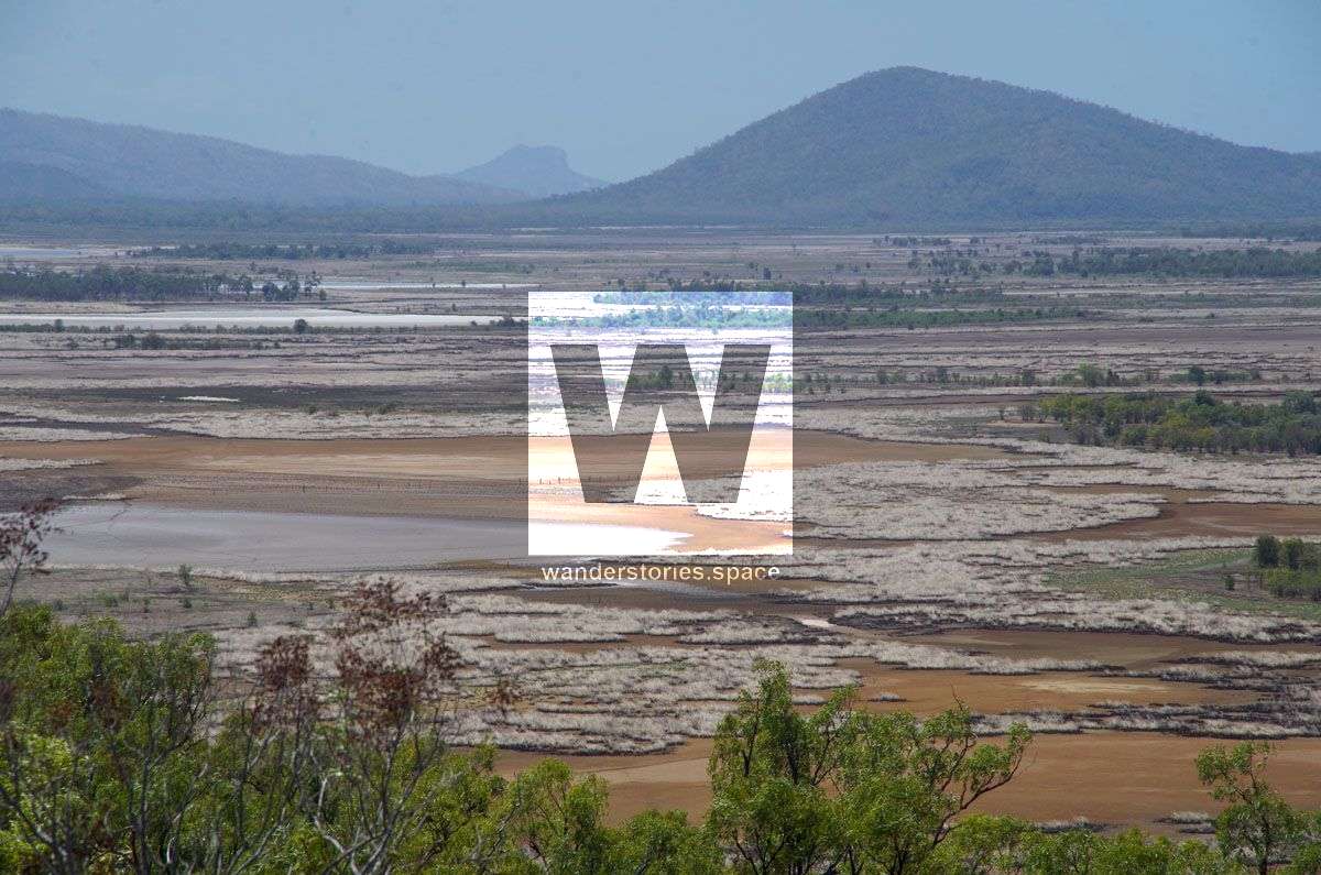
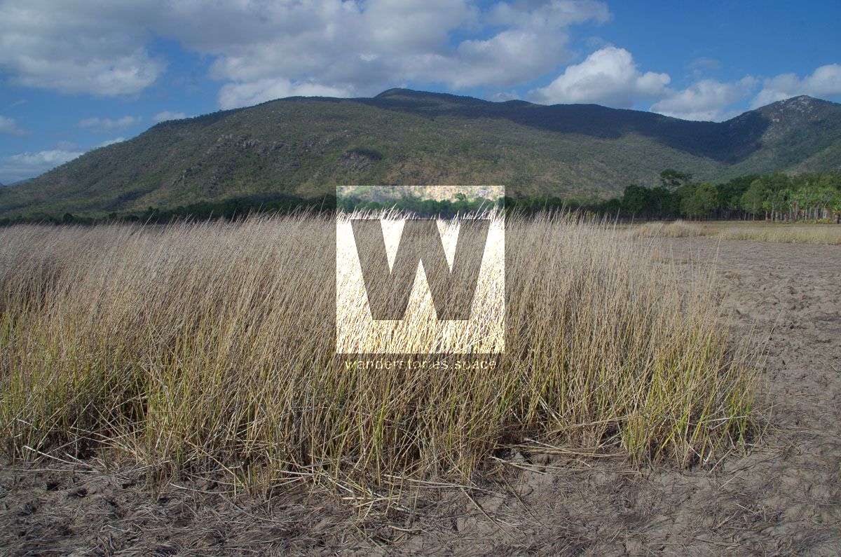
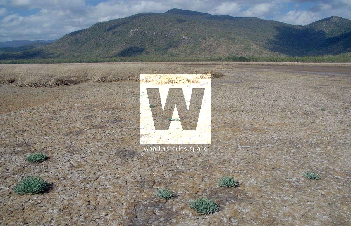
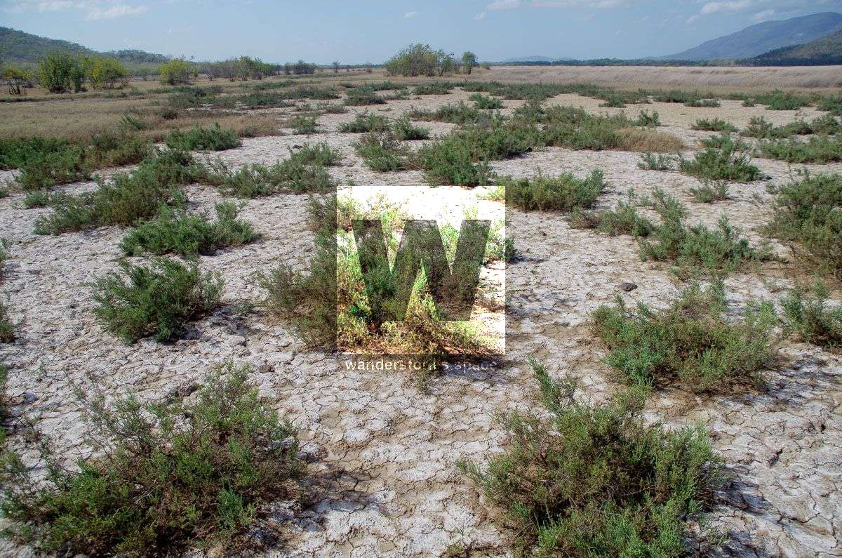
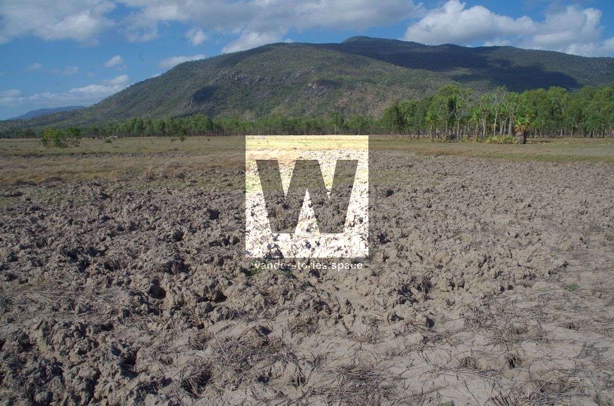
The Cone and Feltham Cone, also known as Mount Burrumbush, are located near Burrumbush Creek, Giru southeast of Townsville. The two cones are surrounded by the Wongaloo Cromarty Wetlands, a large marshy wetland covering some 1600 hectares.

Location - Bowling Green Bay National Park, Queensland, Australia
Distance - Depending on route
Time - Depending on route
Grade - 5, difficult and strenuous
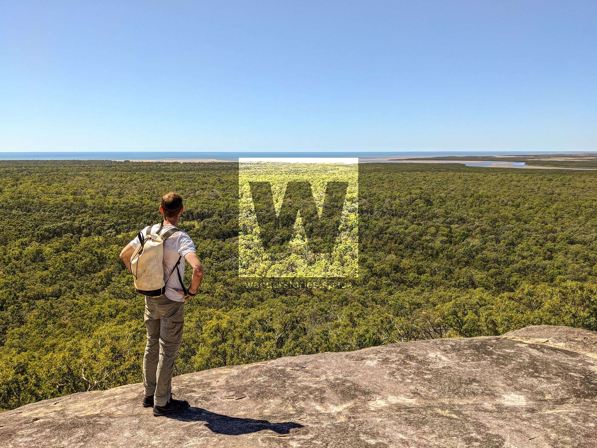
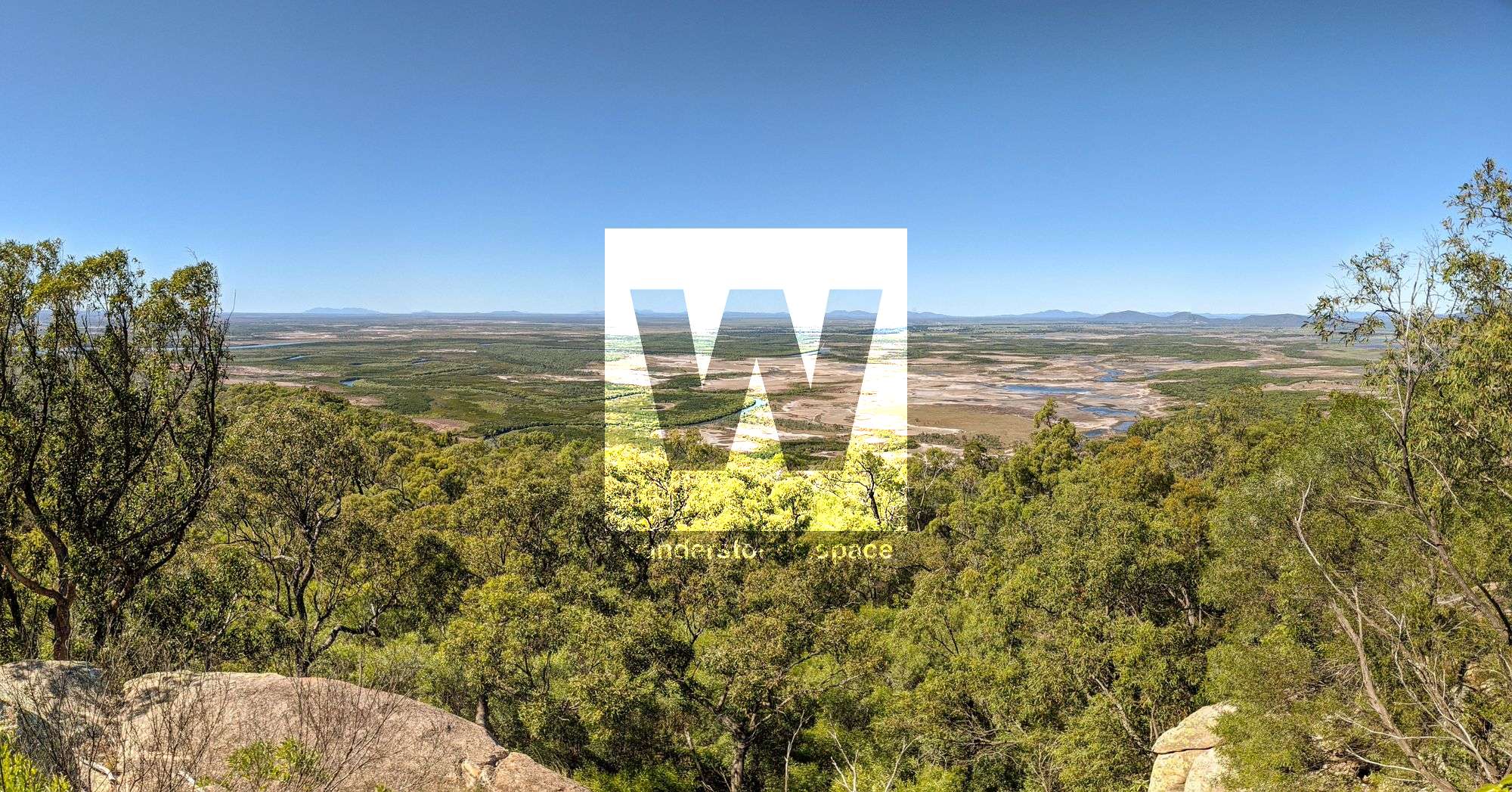
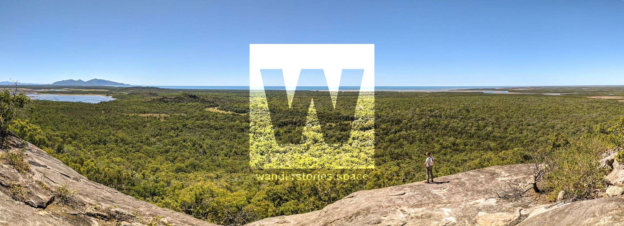
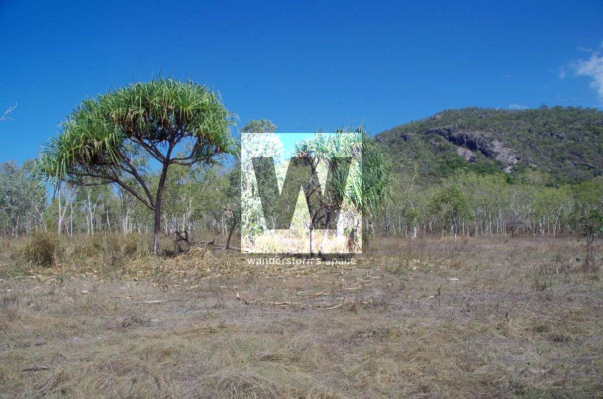
The Cone (94 m) and Feltham Cone (279 m), also known as Mount Burrumbush which possibly means 'dingo hill', are located near Burrumbush Creek, Giru southeast of Townsville. The two cones are surrounded by the Wongaloo Cromarty Wetlands, a large marshy wetland covering some 1600 hectares. The Giru local has a long history including Aboriginal arts, which are scattered throughout the area, and two aircraft crash sites.
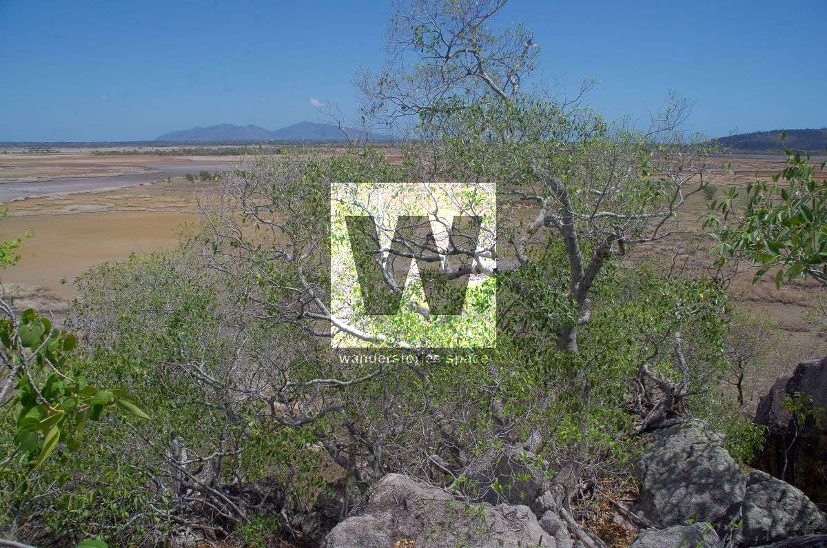
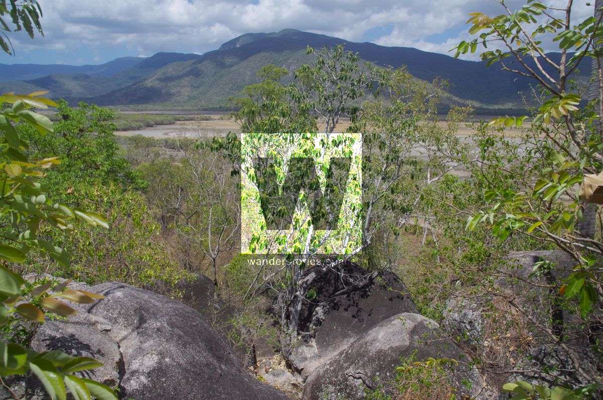
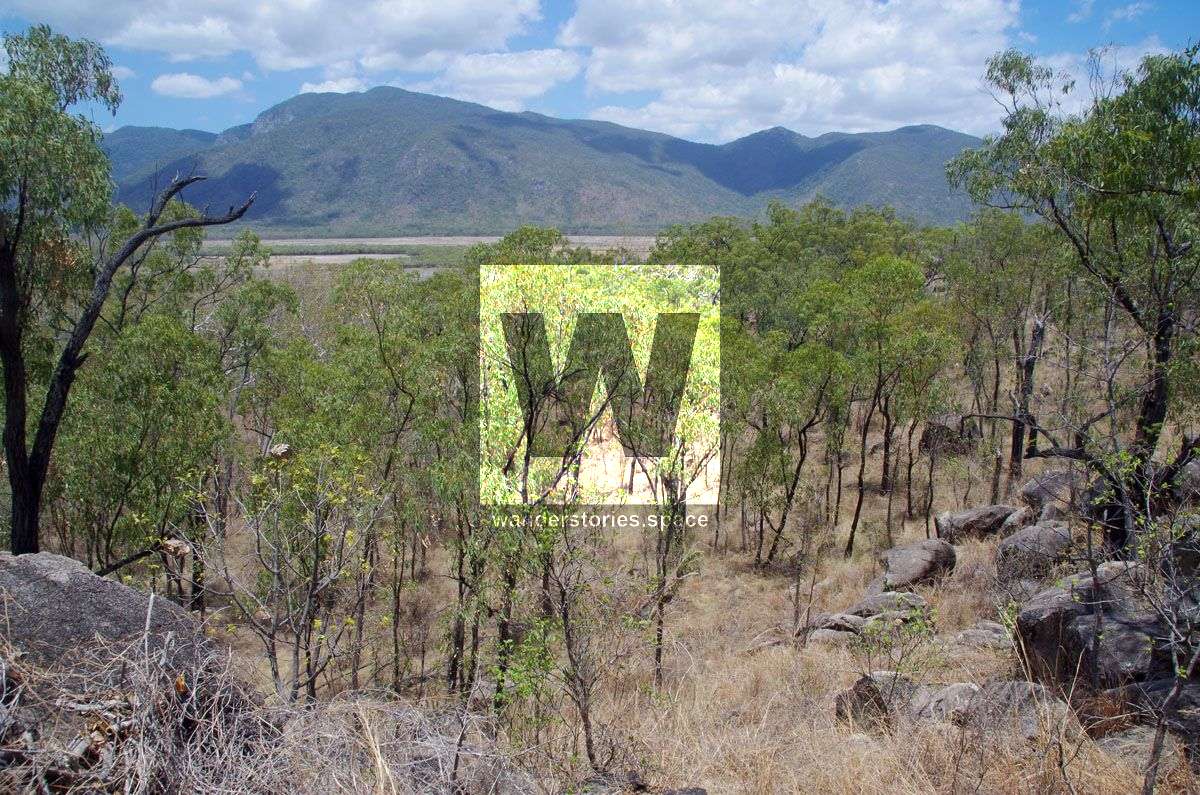
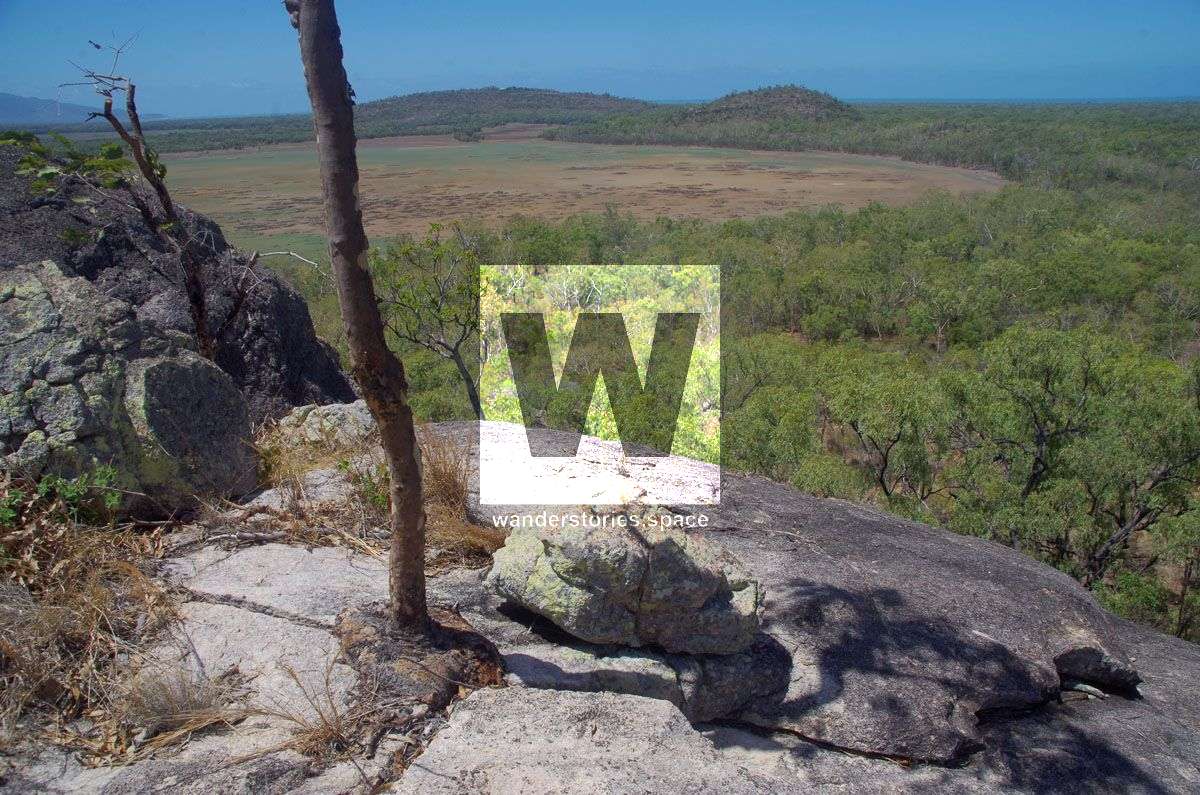
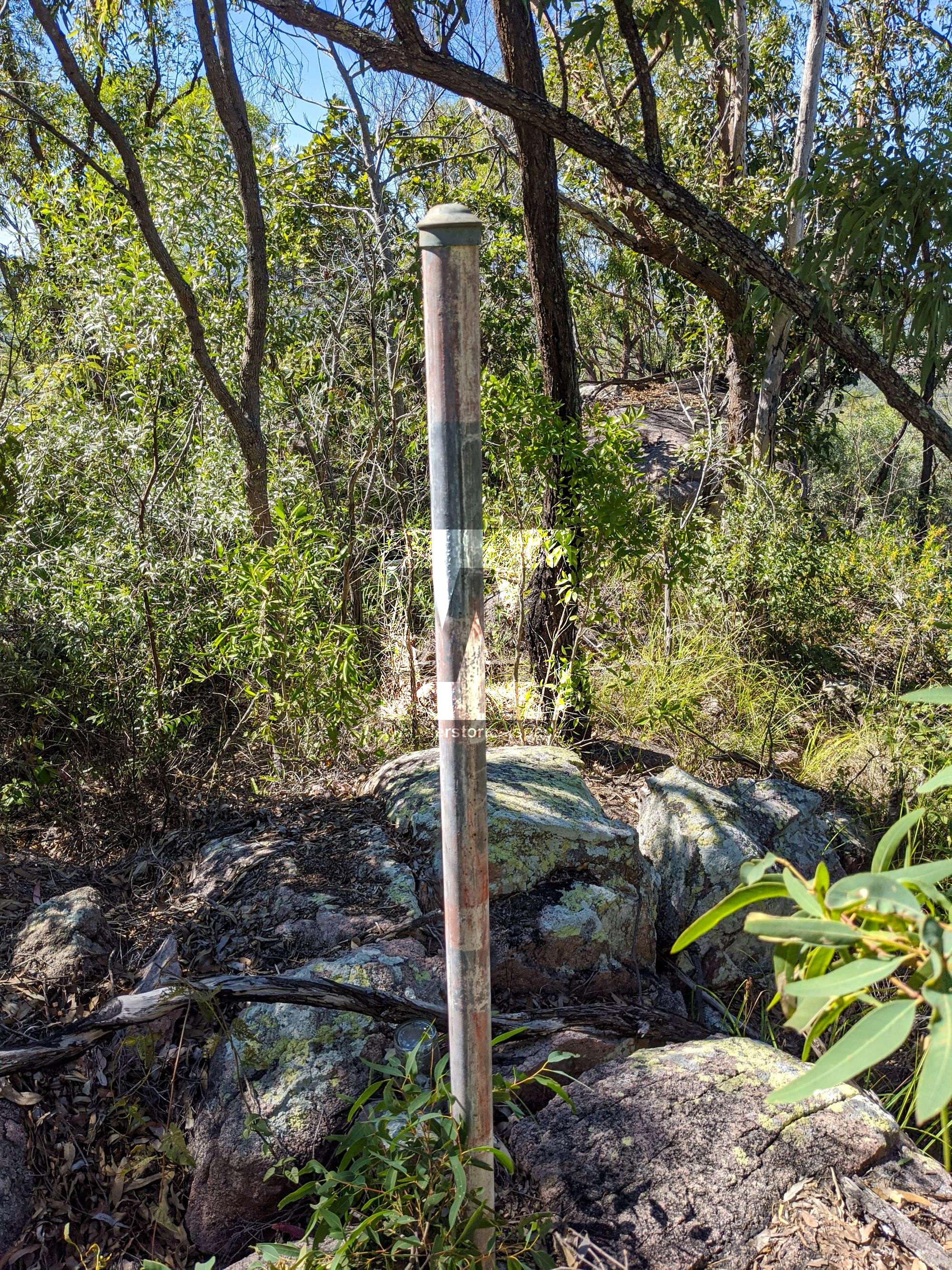
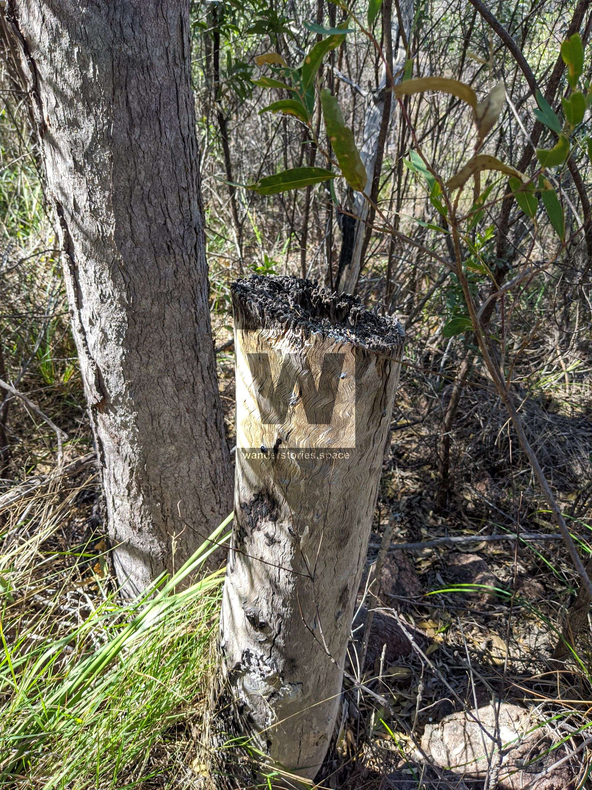
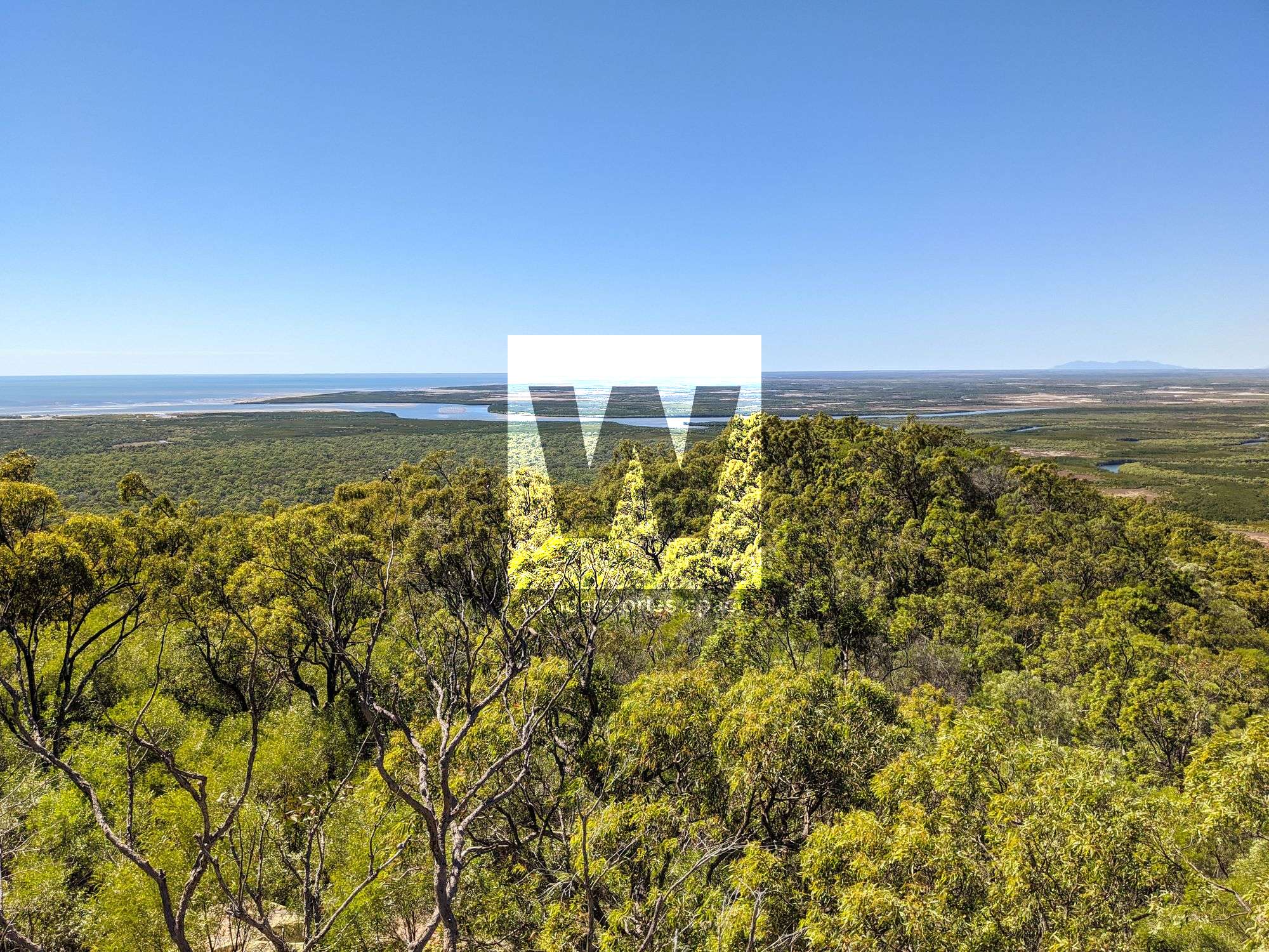
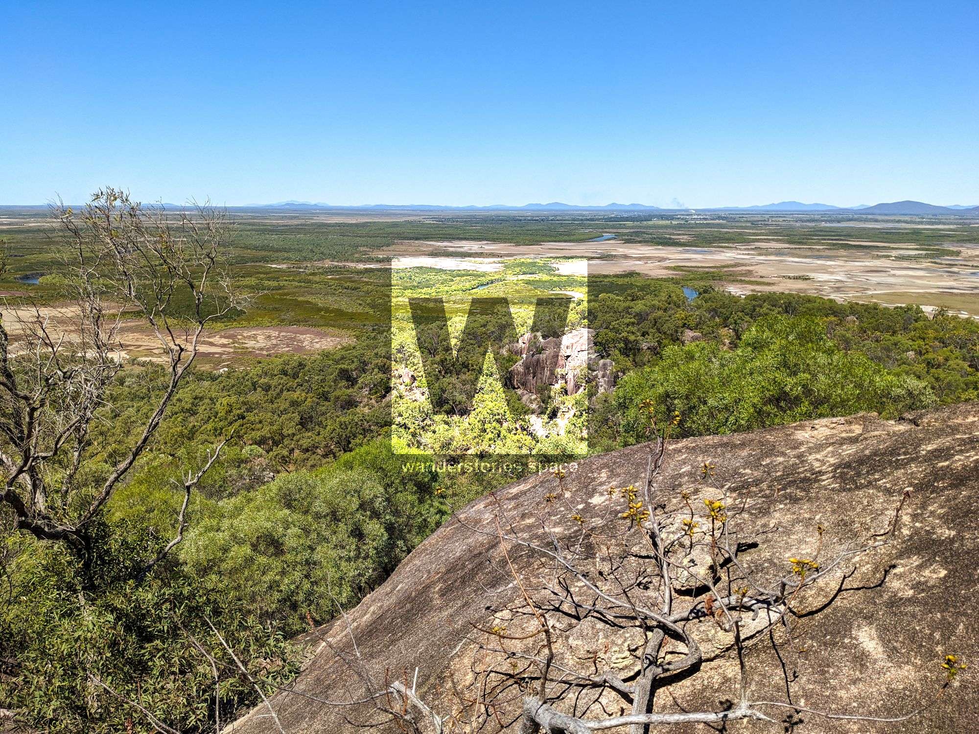
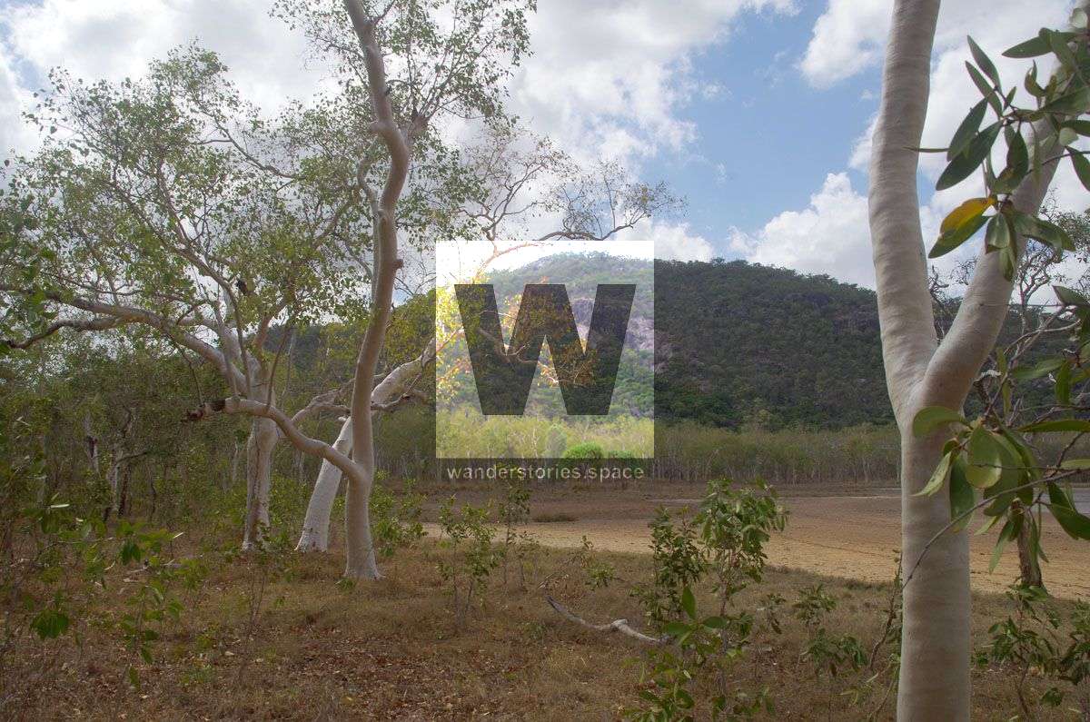
Large granite outcrops provide views across the surrounding landscape including Cape Cleveland and the Haughton River. The summit has a metal pole concreted in and a glass bottle geocache at the summit. There are several ironbarks near the summit which have been cut.
How to get there
There are several approach possibilities:
- West - by boat along Burrumbush Creek. Be aware of crocodiles.
- North/East - Private Property - by gaining permission of adjacent landowners.
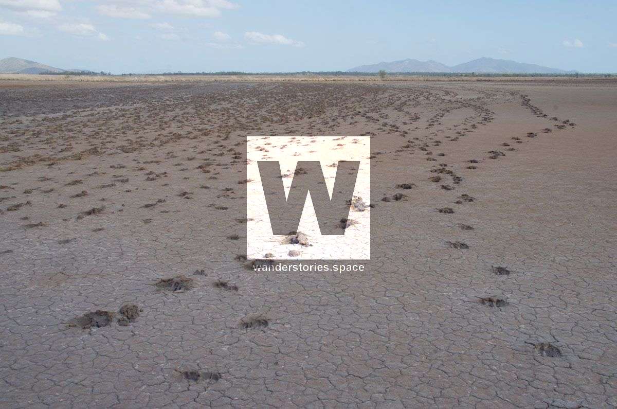
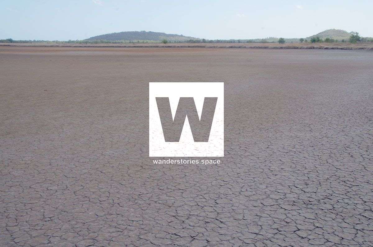
- South - Private Property - via Wongaloo Conservation Park with permission. Drive in at the MacKenzie Creek end to where the marsh starts, then walk to the west end of the first hill, avoiding the creek. The only time you can get across the wetlands from the Bruce Highway side is at the height of the dry season in November - and only then if it doesn't rain early.
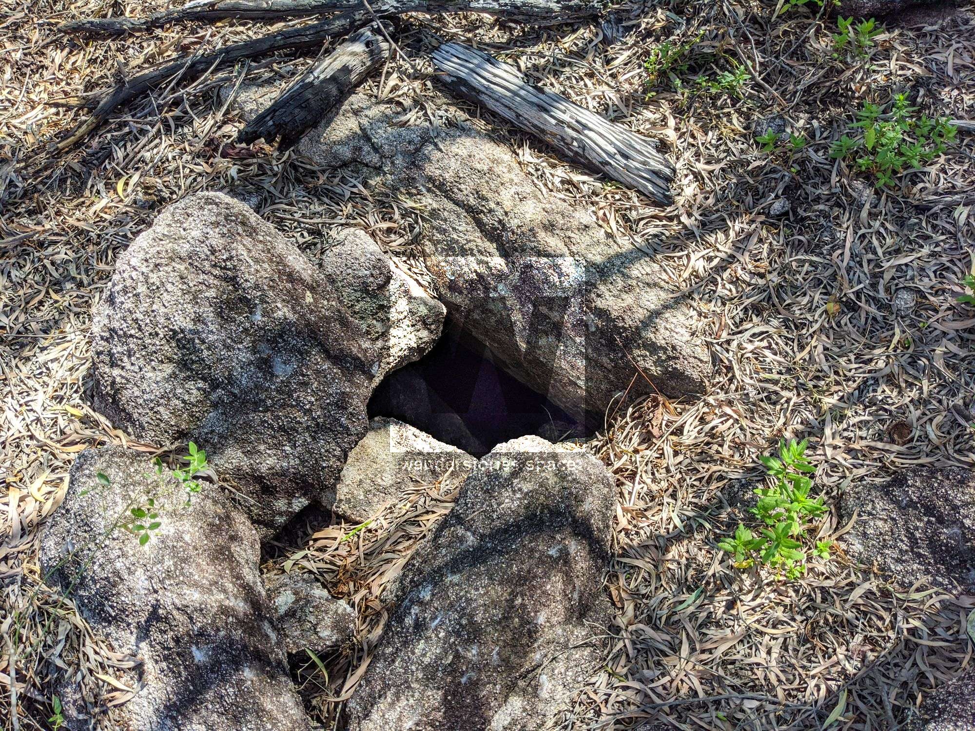
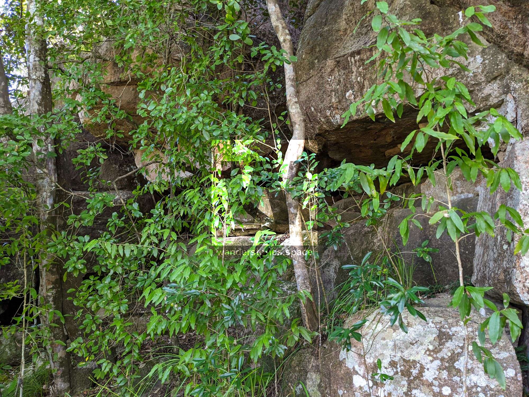
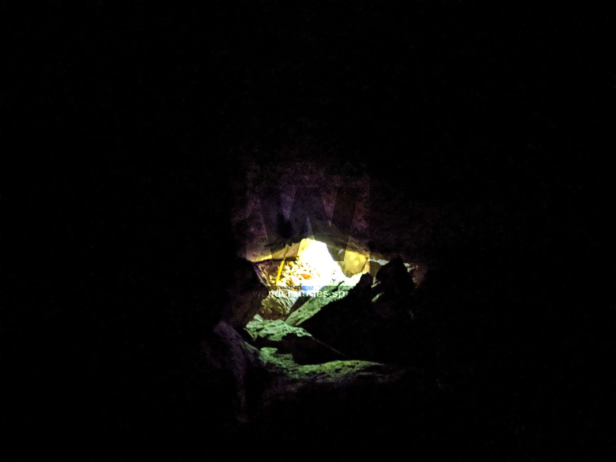
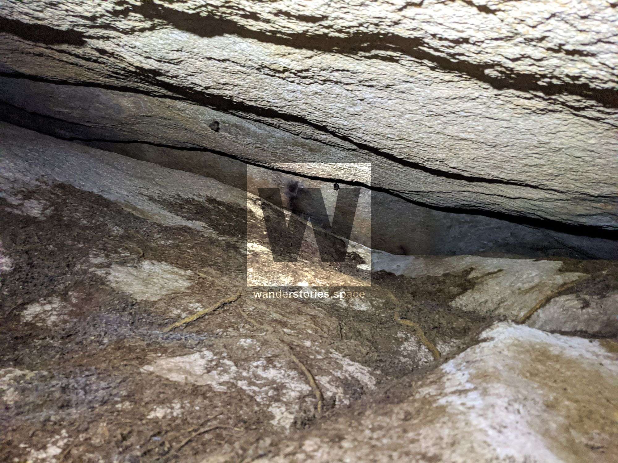
Luen's Limbo Cave
Discovered by Luen Warneke and Brendan Moore in 2020, this 40-metre granite cave has an opening on the south side and top of the hill. The tight squeeze was five metres away from the upper opening was not fully linked.
Do not enter any cave if you do not have the appropriate gear and skill set. Take care when traversing the loose boulders near the entrance - if they move, you could easily become trapped. There are other smaller cave-like holes around the area.
RAAF Lockheed Crash
Two of the RAAF Lockheed Hudson Mark IIIA bombers from 32 Squadron were flinging in the vicinity of Giru, both aircraft collided on May 24, 1942 in unclear circumstances. It was rumoured that one of the aircraft suddenly lost altitude in an air pocket which lead to them hitting the other aircraft below. Laden with bombs, Aircraft A16-191 BW677 collided with the other Hudson bomber A16-194 BW680. The crew onboard A16-191 BW677 were killed instantly, while the other Hudson bomber proceeded with forced landing on a salt pan near Bomber Creek (which is between Barrattas Creek and Barramundi Creek) with the crew escaping injury.
Debris from the A16-194 BW680 crash site is scattered across the salt flats with signs of human activity. The other concealed site had the wing of the A16-191 BW677 in the dense mangroves with the RAAF insignia located at the mouth of Morris Creek (Morrisey). The debris is scattered over a wide area but, incredibly, the remains of the aircraft were in good condition despite the passing of time. Their remains were apparently buried in a makeshift grave at the site under one of the wings. The North Queensland Military Museum were accused of removing the aircraft's fuselage, wing, tail, and a boot with bones belonging to one of the deceased airmen.
Interactive Map
Notes
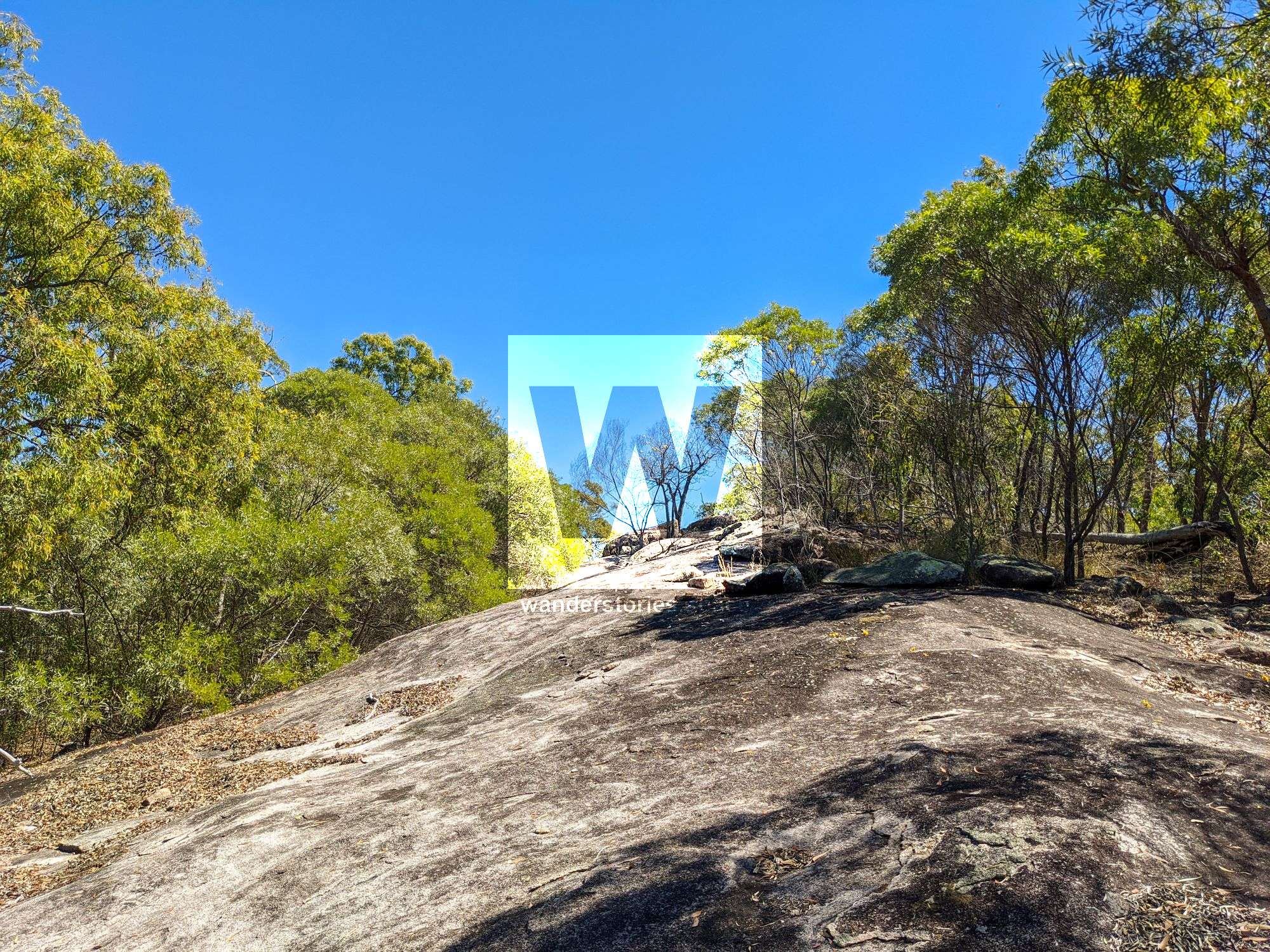
There are no trails in this area. Pigs and dingoes are known to be in this area.
We would like this historic site to be remembered, and we would like the relics and artefacts to stay at the site and not fall victim to collectors and trophy hunters. There are few places remaining like this in Australia, let alone the world, to explore that have not been pillaged. There is no reason to remove objects from any of these sites. Please be responsible, respect the history, and respect the importance of this site for future generations. Take photos and leave only footprints.
Photos in this article are by Russell Cumming and Luen Warneke.This article, and all other articles, are for entertainment purposes only and are not to be used as a guide. Please see our Disclaimer for more information.