Mount Cataract
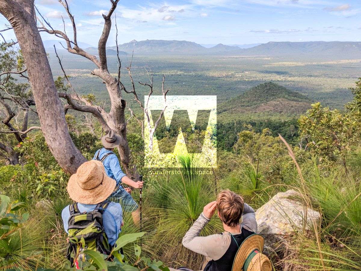
The eastern ridgeline offers an easy assent and provides views of the surrounding countryside as you gain in elevation. The summit of Mount Cataract is at an elevation of 721 m but doesn't not offer any views.

Location - Clemant State Forest, Queensland, Australia
Difficulty - Grade 4/5, easy to intermediate
Distance - Approximately 10-40 km return depending on route taken
Duration - Depending on route taken
Located in the region of Townsville, out near Hervey Range and at the southern end of the Paluma Range, Mt Cataract is at an elevation of 721 m with a width at the base of 3.5 km and is in close proximity to Mt Black (410 m) and Mt Kataughal (389 m). The terrain around Mount Cataract is mainly hilly and is very sparsely populated, with approximately 4 inhabitants per square kilometer. The nearest larger community is Toomulla, 19 km north of Mount Cataract. Mount Cataract State Forest was amalgamated into Clemant State Forest in 2014 and covers an area of about around 2,400 hectares at the southern end.
It is best accessed via private property so prior permission is required if taking this route.