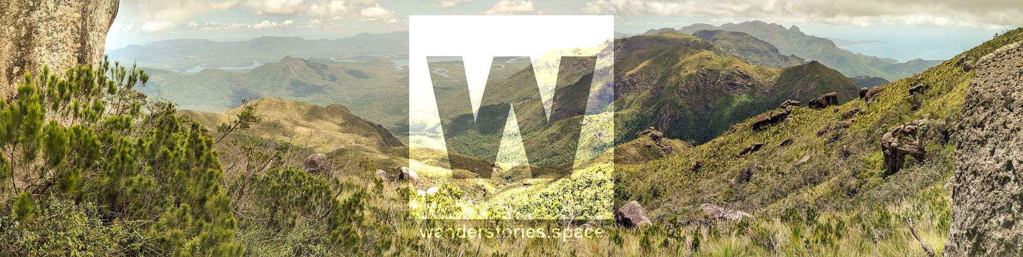
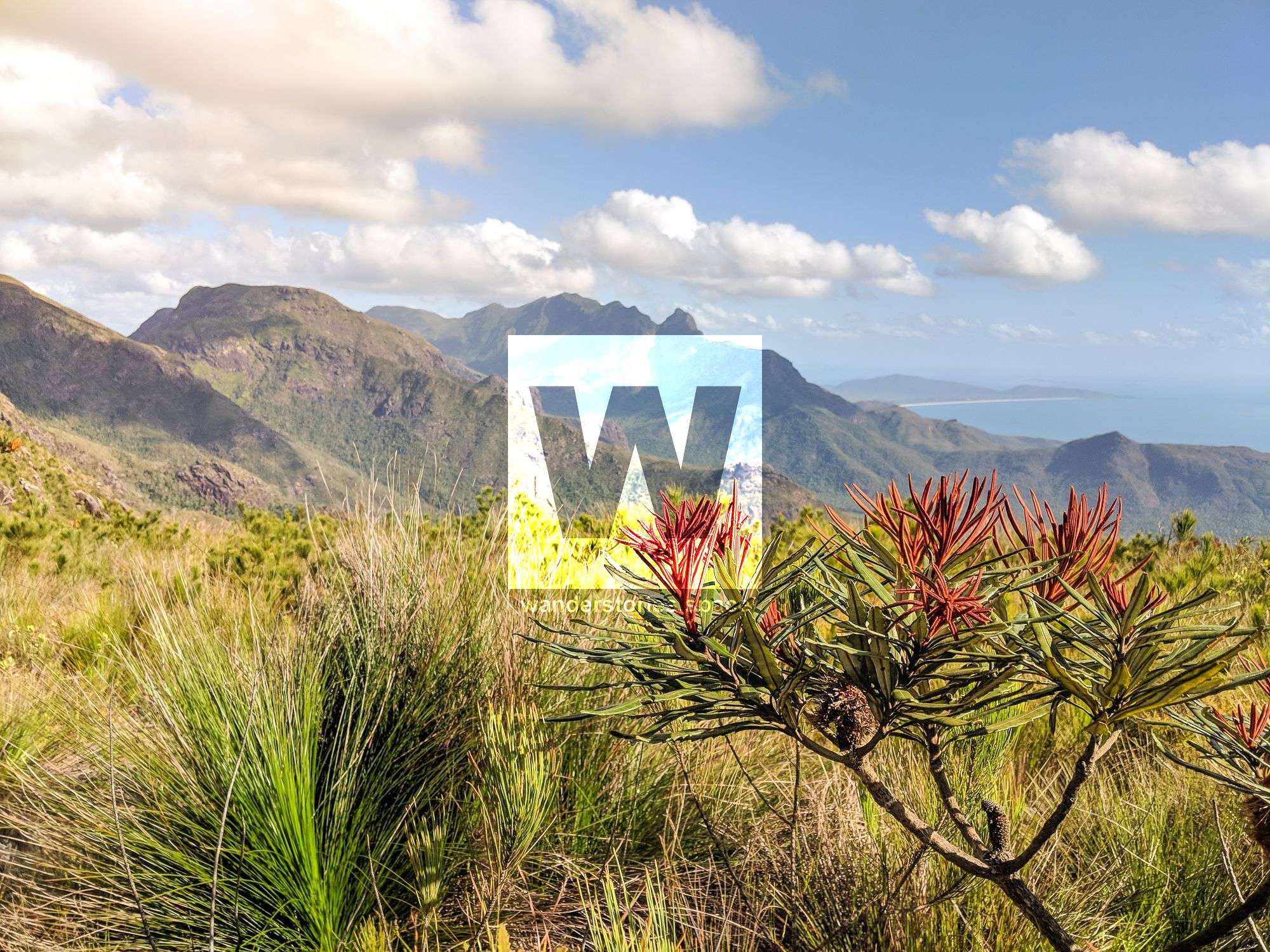
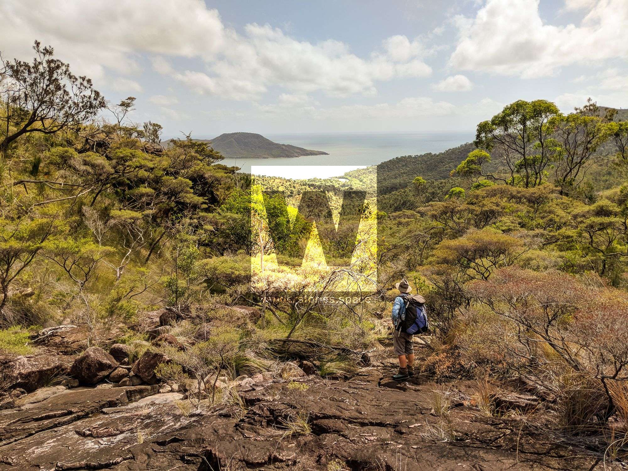
Mount Diamantina
Mount Diamantina rises 955 metres above sea level and is located within the Hinchinbrook Island National Park in Far North Queensland. Although Mt Diamantina may be considered the easiest of the four main mountains to summit, it is also desirable by many due to its unique boulders on top.


Location - Hinchinbrook Island National Park, Queensland, Australia
Distance - Approximately 12 km return, depending on route (not including the zig-zagging through creeks and around vegetation)
Time - Approximately 12 hours return for the very fit, experienced bushwalker; however, it's best to allow 2-3 days return to summit this mountain.
Grade - 5, difficult and strenuous
Type - Remote, off-track bushwalking
Mount Diamantina, or Gunandali by the Bandyin (Bandyinbara) Aboriginal tribe name, rises 955 metres above sea level and is located within the Hinchinbrook Island National Park in Far North Queensland. Along with Mount Bowen, the highest peak on the island, The Thumb, known for its iconic towering peak and ruggedness, and Mount Straloch, renowned for the B24 Liberator wreckage, the four make up the main, and most spectacular, peaks on the island. While Mount Diamantina may be considered the easiest of the four to the summit, it is desirable by many due to its unique boulders atop providing panoramic views.
There are many things to cover in this article, so here are some quick links to sections of this article:
When To Go, The Routes, Waterfall Creek Route, Zoe Bay Route, Diamantina Creek Route, Moth Creek Route, Deluge Inlet Route, Diamantina Rock, Essentials, Saftey, Interactive Map.
A special mountain permit is required to hike off-track (i.e., any of the major peaks) on Hinchinbrook Island. It is also best to check with Queensland National Parks before planning your trip, especially to ask about scheduled burn-offs and other programs in the area so you can schedule your adventure accordingly. It's not just for human safety (i.e., because numbers are controlled/monitored), but largely to protect the fragile, heath vegetation that covers most of the area. It is important to note that those just doing a day trip also need a mountain permit. Any group wishing to hike in the mountains will need to apply – in writing – to Queensland Parks and Wildlife Service (QPWS) at least a few weeks in advance. This is all the more reason to remember to be low impact and embrace the "Leave No Trace" and "Pack it In, Pack it Out" philosophies.
When to go
Summiting Mount Diamantina depends on the route you take and weather conditions, which can change quite suddenly. The best time of the year to do this hike is after the wet season (i.e., June - September) because it's not too hot, but there's still enough water in the creeks.
Sustained activities in hot and humid weather can be hard and should not be underestimated. Hiking on Hinchinbrook Island is no exception. This island seemingly has its own weather system as well, which can be unpredictable at times. Plan and train for any off-track hike on Hinchinbrook Island like you would a trip to remote Southwest Tasmania or New Zealand.