Mount Margaret Walking Track
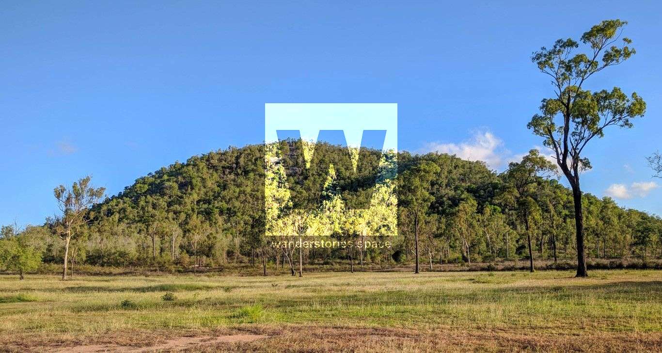
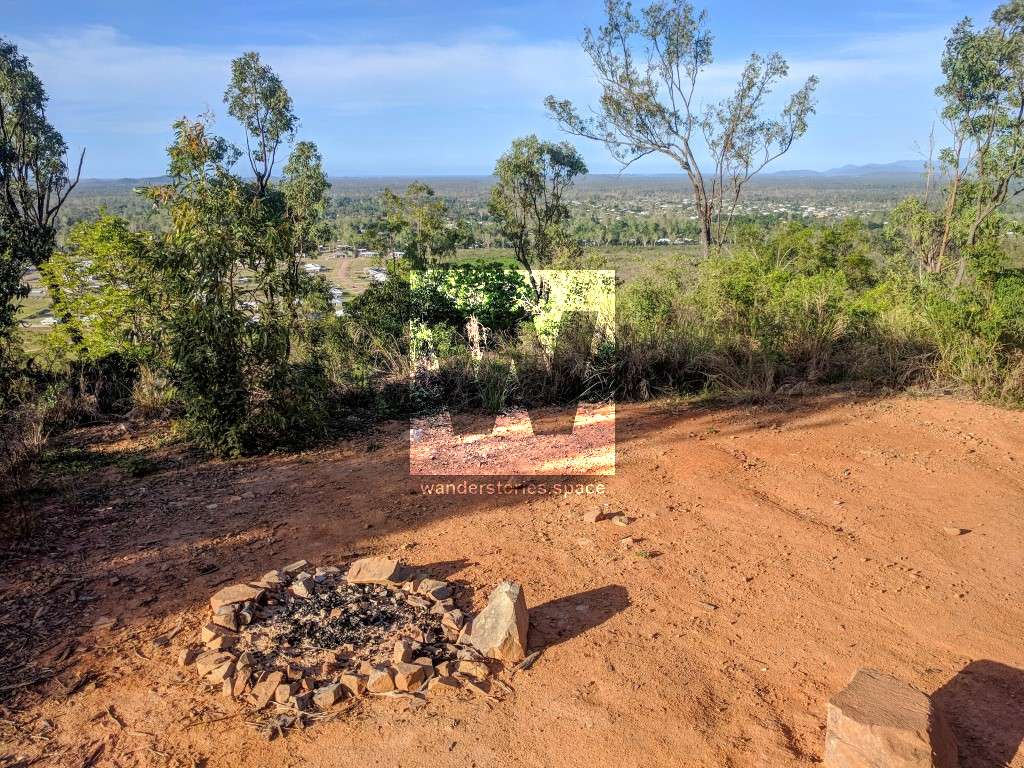
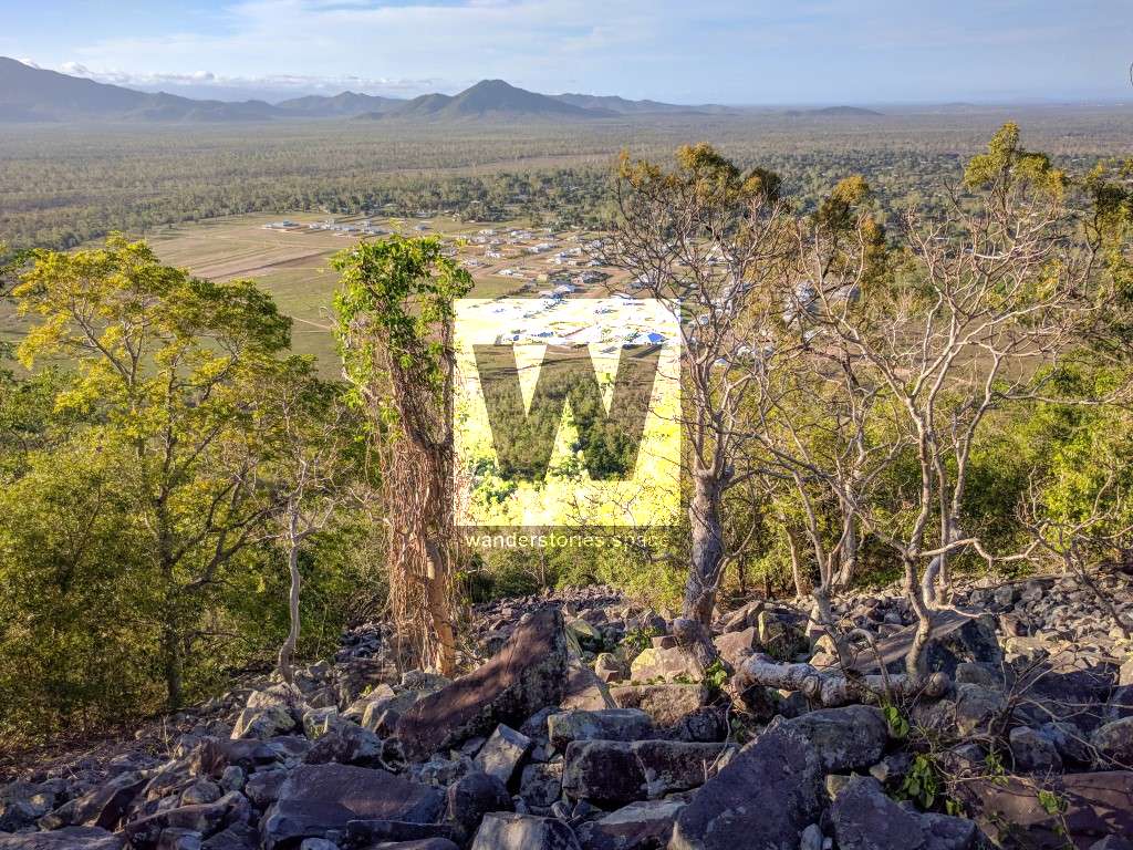
Mount Margaret developers have started construction on a walking trail that is set to rival Castle Hill. Located in Alice River next to Rupertswood, Mount Margaret provides an outlook to the coastline and a nice view of the mountain range from the summit.

Location - Alice River, Townsville, Queensland, Australia
Distance - 2 km return
Time - 30-45 minutes return
Grade - 3
Mount Margaret developers have started construction on a walking trail that is set to rival Castle Hill. Located in Alice River next to Rupertswood, Mt Margaret provides an outlook to the coastline and a nice view of the mountain range from the summit. It's a great spot for sunrise or sunset.
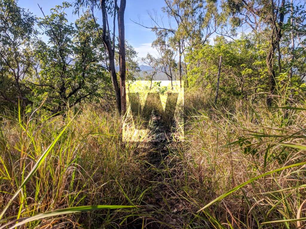
Mt Margaret summit is at 264m elevation making it smaller than Castle Hill by 22m. Only a hand full of Margaret Estate know of this trail so it's a lot less popular than Castle Hill. Also being shorter, the well formed track is easier than Castle Hill but has Guinea grass, Lantana and Rubber vine beside the track. The track follows the ridgeline up to the summit.
It's close to Frederick Peak which is more of a challenge. You could also walk to just the sentinels or all the way out to South Pinnacle.
There is a four-wheel drive track that goes halfway up the mountain and it seems that a few people have camped at the end of it.
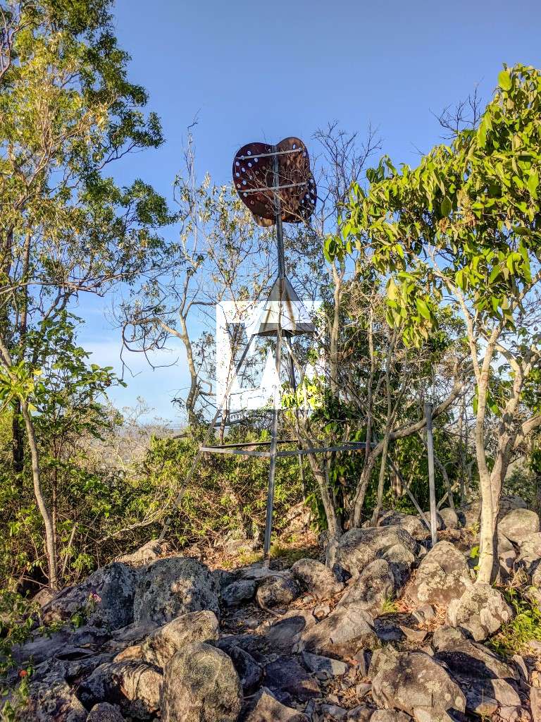
For an interesting, albeit slightly dangerous, alternative path down the hill, try the boulder field just left of the summit.
"Mount Margaret is composed of dark blue-grey to black volcanics similar to those at Frederick Peak. They contain abundant rock fragments and phenocrysts of white feldspar, and sporadic phenocrysts of quartz. The quartz crystals are strained and embayed, and the feldspar laths are roughly aligned. Disseminations and small stringers of pyrite are also present. The rocks are probably pyroclastic flows. Thin stringers of quartz, trending 105°, occur on the southern flanks of Mount Margaret. The veins are crossed by a later set of joints trending 160°." - Geology of the Townsville 1:250,000 Sheet Area, Queensland
Interactive map
Here's an interactive map of the route up the mountain:
This article, and all other articles, are for entertainment purposes only and are not to be used as a guide. Please see our Disclaimer for more information.