Mount Pieter Botte
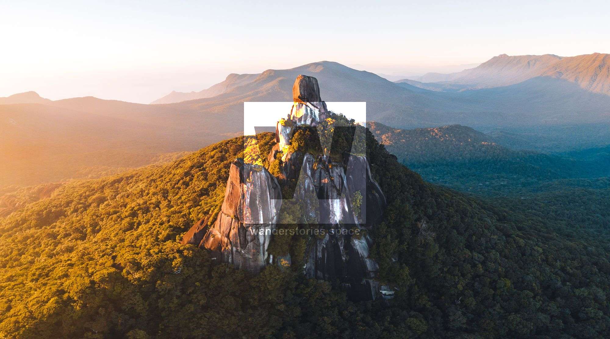
Mount Pieter Botte (Ngalba-bulal Alpaboolal) is a mountain 1,047 m in elevation in Daintree Rainforest. Located in the tableland region behind Cape Tribulation in Far North Queensland, Australia and part of the Wet Tropics of Queensland World-Heritage Site.
Location: Cape Tribulation, Queensland, Australia
Region: Wet Tropics, Far North Queensland
Grade: 5, difficult, recommended for experienced bushwalkers
Duration: ~6-10 hours, usually accomplished as an overnighter
Distance: ~16 km one way from road
Best time: May - August
Start/finish: Mount Sorrow Lookout, accessed via the Bloomfield Road
Last maintained/cut/marked: mid-late 2023
Mount Pieter Botte, also known as Ngalba-bulal, Alpaboolal (meaning big top), is a mountain that rises 1,047 metres amongst the Daintree National Park. It is part of the Tableland Region behind Cape Tribulation in Far North Queensland, Australia, and is part of the Wet Tropics of Queensland UNESCO World-Heritage Site.
The Australian Aborigines refer to the smaller peak of Mount Pieter Botte as 'Ginpure' (meaning younger sister) and the taller peak as 'Barbar' (meaning elder sister). The Aborigines in the area were said to believe that the mountain was home to their ancestral spirits and that the area was a sacred place for local indigenous women. However, there are some written accounts suggesting that Aborigines were frightened of this area, as they would be amongst their ancestral spirits.
Its European name, however, comes from either Captain Matthew Flinders or Captain Owen Stanley of the survey ship HMS Rattlesnake in 1848 because it resembles Peter Botte Mountain (also known as Pieter Both), a famous peak on the island of Mauritius, East Africa.
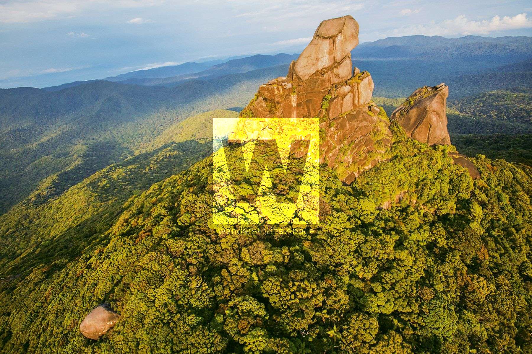
Six Kuku Yalanji people, led by an elder, guided three Europeans, including a visiting botanist and explorer, Dudley Le Souef, as well as Frank Hislop and Mr Anderson, up the climb in October 1896. The group first climbed the North Peak of Mount Pieter Botte and became the first recorded European party to do so. Then, the group climbed to the platform just below the summit of the South Peak. However, they did not make it to the true summit, as they were faced with the sheer-sided, granite outcrop that could not be climbed at the time.
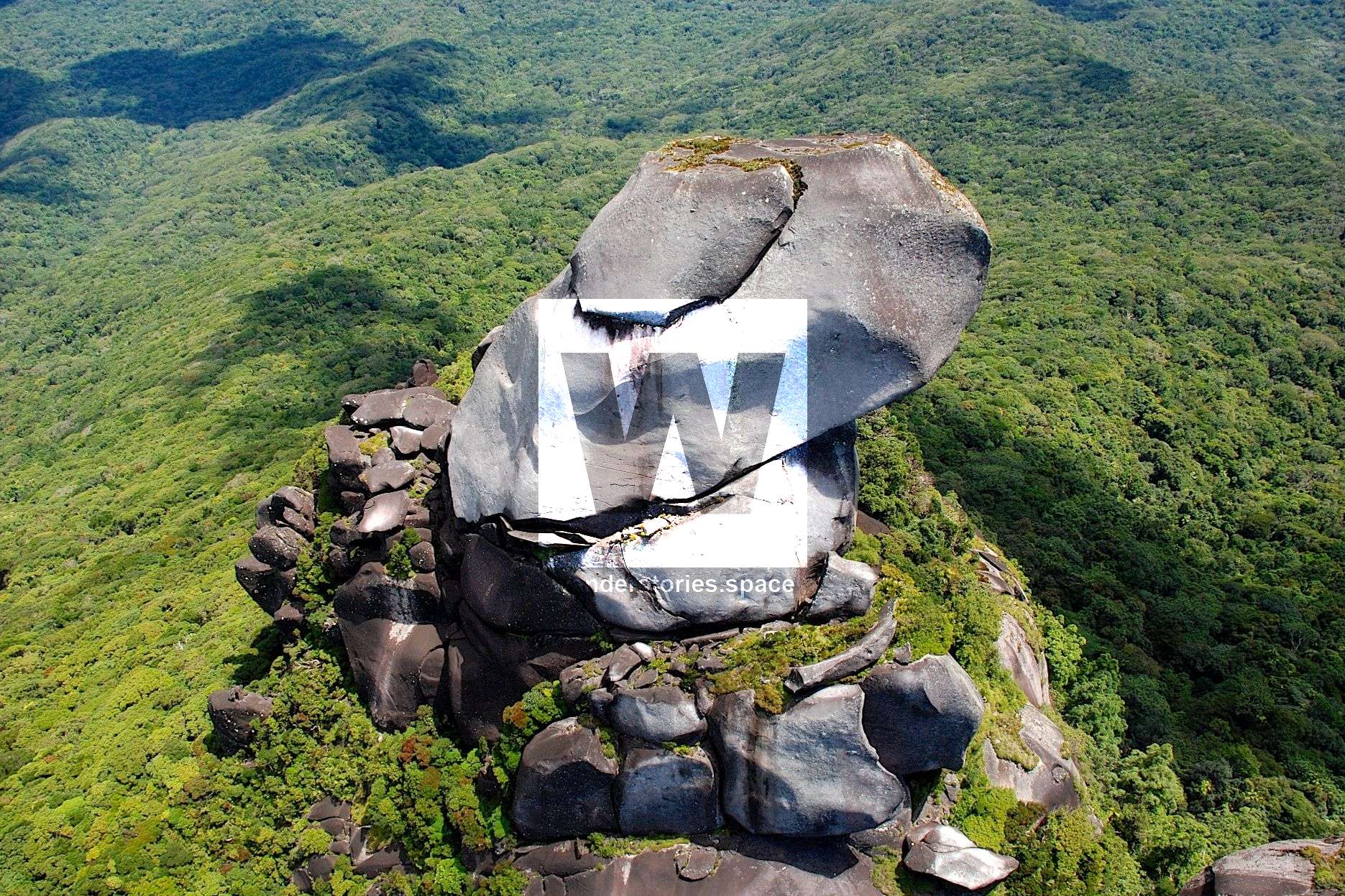
The highest point and the true summit of Mount Pieter Botte, which is at the South Peak, is inaccessible to bushwalkers, as it requires a rope and aid climbing gear. However, the most beautiful and iconic photos of Mount Pieter Botte's South Peak are actually taken from the North Peak, which is easily scrambled. For some, however, it may also be possible to scramble to the rock platform just below the monolith on the South Peak; this is where the roped climb up the sheer granite face begins. From here, a climber will face an enormous, granite, monolithic block that is overhanging on one side and perpendicular on the other side.
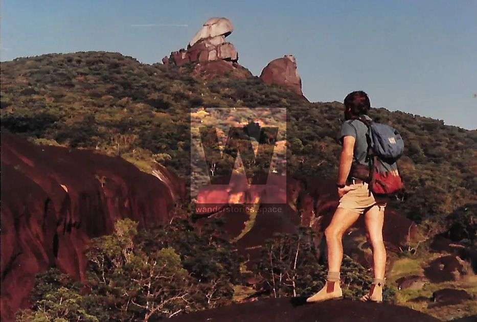
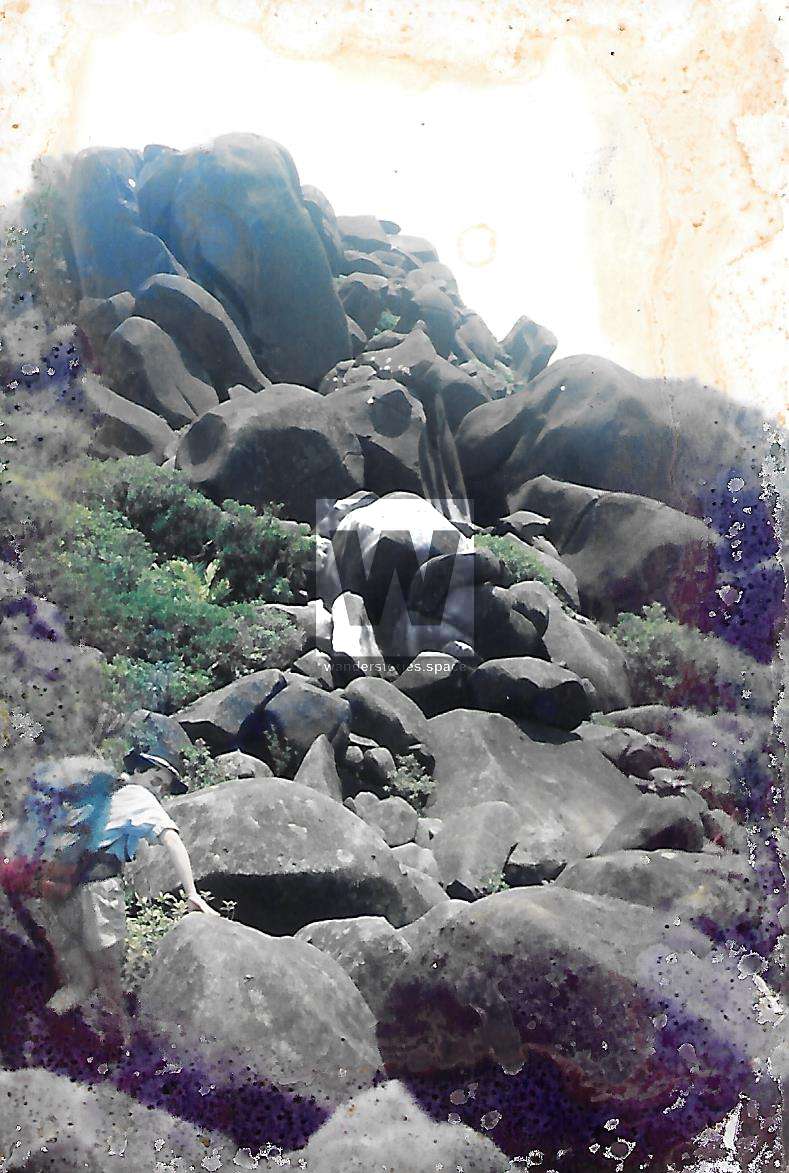
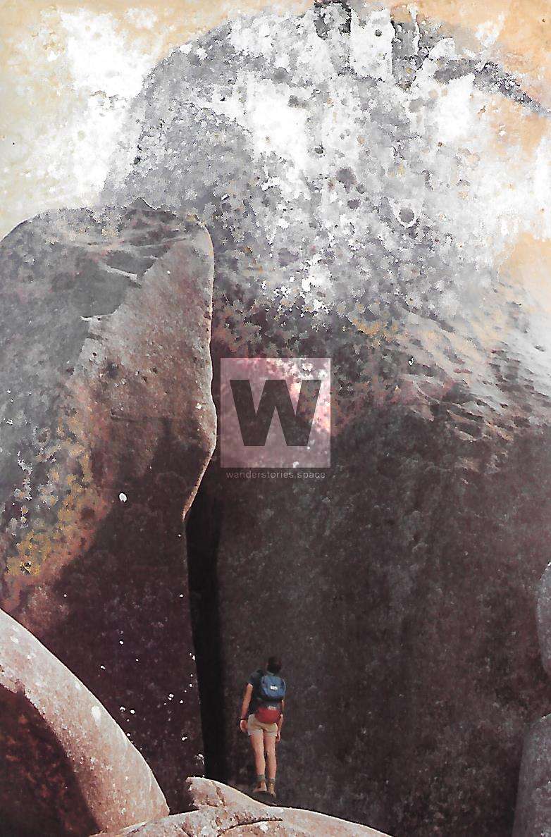
Photo credit: I Am Footloose And Free
In the 90s, Digby Gotts and Alison Gotts, on one of their many excursions to Mount Pieter Botte, took a bow and arrow to shoot a line over the top. But on that day, it was too windy.
An excerpt from The Lay Back Podcast 002 // Neil Monteith // So Much To Do
In 1993, Neil Monteith, his father Geoff Monteith, and his friend from Brisbane Simon Hennig, at the age of 16 years old attempted this "hilarious inflated expedition of youth" where they climbed to the top of the big granite chimney (which moved when Neil stemmed up it!) and then tried to drill a bolt on the wall to aid across.
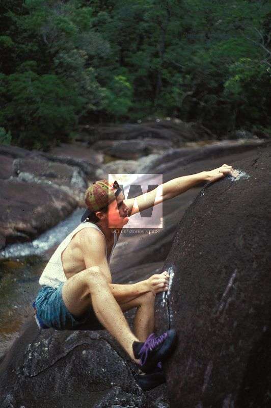
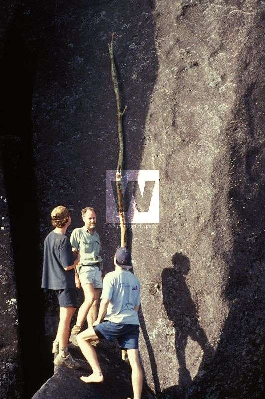
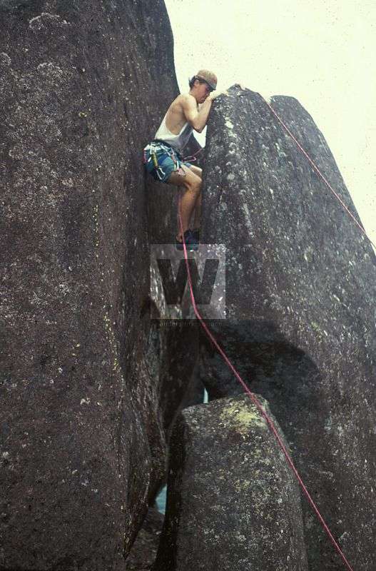
Photo credit: Neil Monteith
"I think we got about 2mm into the rock before giving up. We even cut down a small tree and leant it against the face and tried to climb that to gain the slab." - Neil Monteith
Geoffrey Monteith is a famous biologist who spent much of his working life in the mountains in that area hunting for insects.
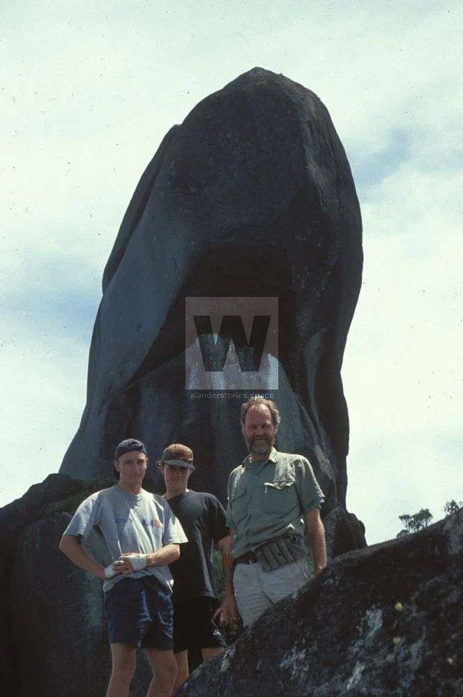
Simon Hennig, Neil Monteith, Geoff Monteith in 1993; Photo credit: Neil Monteith
Two members of the All 4 Adventure team were dropped off on the top of the summit of the South Peak via a helicopter in ~2016/2017. The sped-up, two seconds worth of footage was aired in Season 2 of the Unleashed TV series.
An excerpt from All 4 Adventure Season 2 of the Unleashed TV series
Though some have attempted to climb the South Peak over the years, it wasn't until 2019 that the first ascent was made by Luen Warneke and Jodie Rummer[1][2][3][4]. And until then, Mount Pieter Botte was one of the last unclimbed summits in Australia... and perhaps the world.
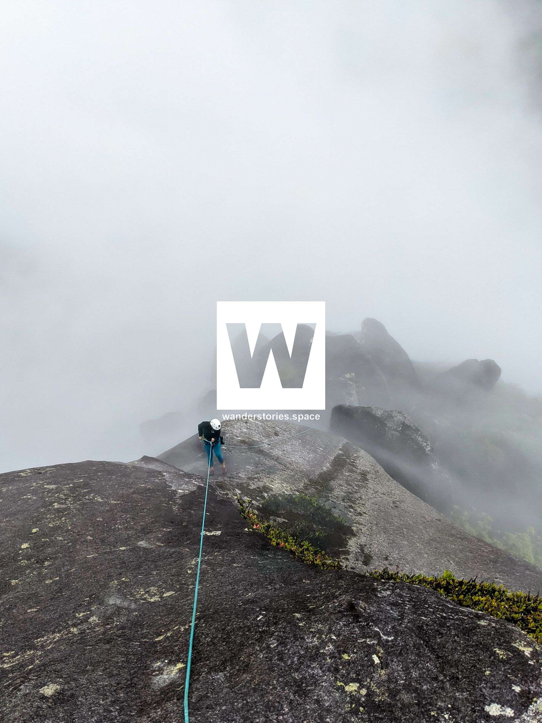
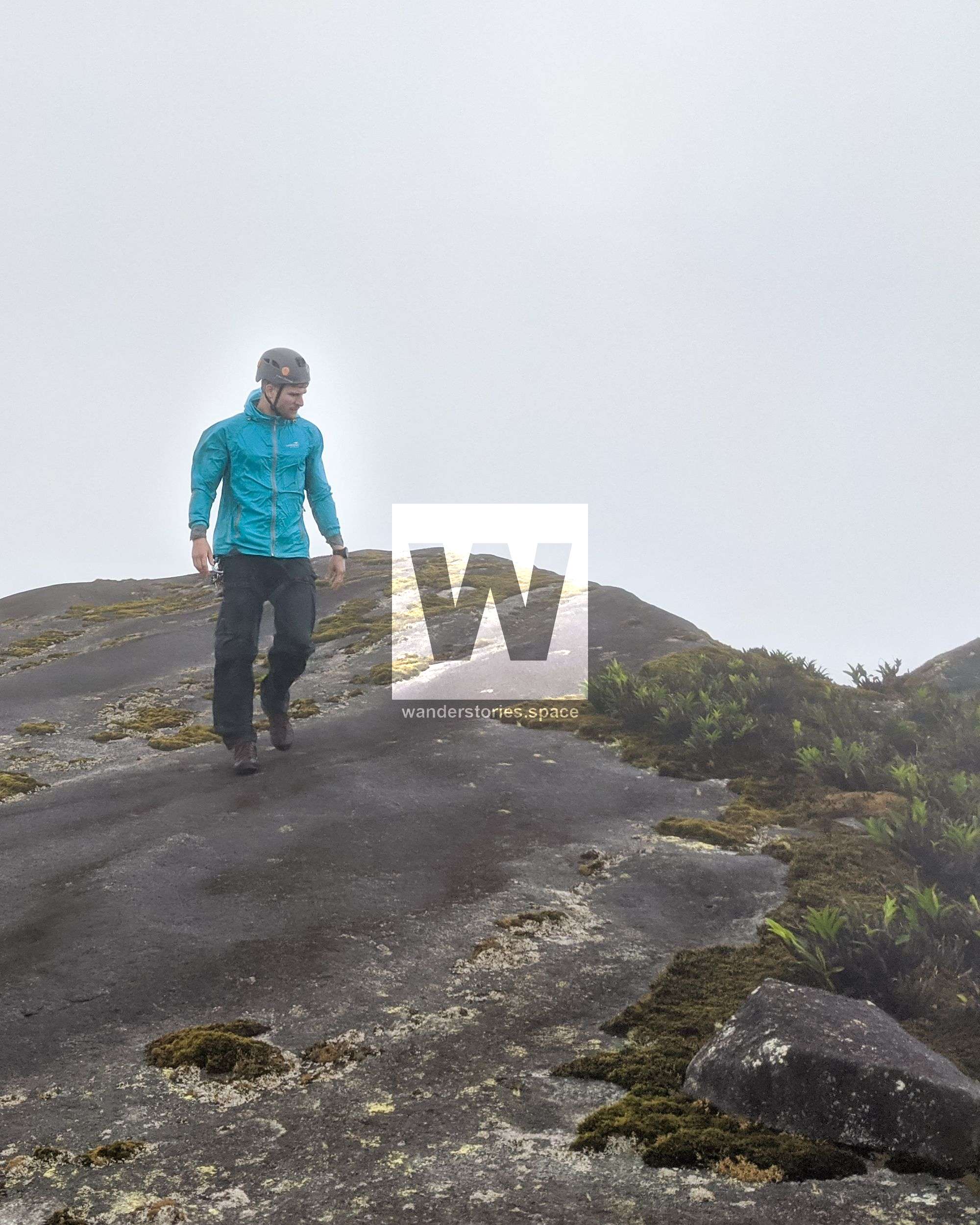
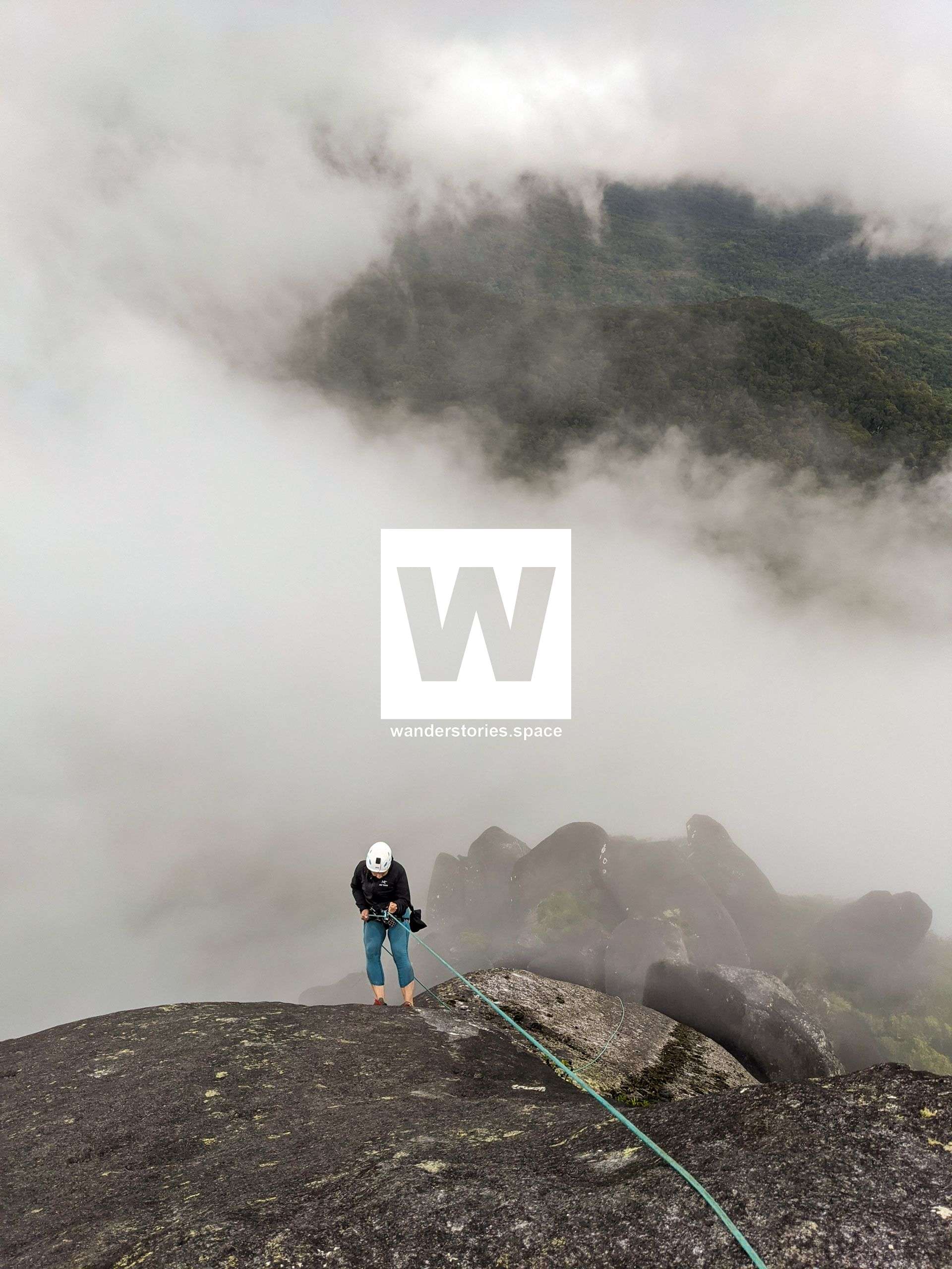
Top of Mount Pieter Botte South Peak
Several years later, on 21 April 2022, Andy Gallagher, over nine attempts managed to fly a string line over the top with a drone, rig up a climbing rope, and ascended to the summit. That night, Andy Gallagher camped atop. See his video ascent of Mount Pieter Botte.
"I had to live off one bag of noodles per day for five days, to wait for a break in the wind to put the drone up. Needless to say, I smashed four drones to pieces using this method, but finally, on the last attempt (number nine), the little Phantom 4 made it over." - Andy Gallagher
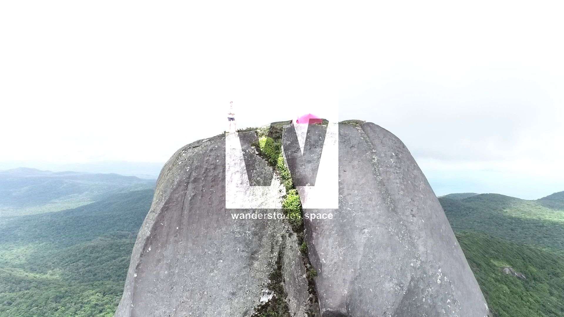
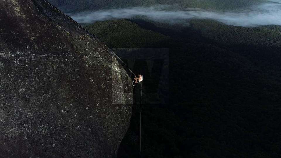
Andy Gallagher atop of Mount Pieter Botte; Photo credit: Andy Gallagher
The area, including Mount Pieter Botte, was handed back to the Traditional Owners in September 2022.
The Hike In
To get to the track that will lead you to the base of Mount Pieter Botte, you will start at the National Parks Mount Sorrow Lookout platform. Proceed beyond the platform, and from there, the track is marked with flagging tape and not too difficult to navigate. After the knife-edge ridgeline, you have the option to bushwalk through the rainforest to Mount Sorrow (left) or continue following the marked track toward Mount Pieter Botte.
The trail passes through majestic rock and boulder gardens. The sheer size and seemingly perfect shapes of these rocks and boulders are truly remarkable and a must see! However, it should be noted that these sections require technical skills; definitely take extra care during the wet season or after a rain. There are many spots where you have to either scramble under or over the boulders. Wet conditions can turn a slip or minor error into a fall taking you several meters down the cracks and crevices. There are a few areas where you have the option to crawl under small rocks, but it may be that some of these areas can be circumnavigated. The track is hard to make out in places, particularly over and under the boulders, but it is generally well-tagged with flagging tape. There is still a high chance for navigational error, however.
If you are concerned about navigating this hike and/or looking for some company, contact the Cairns Bushwalking Club or the Tablelands Bushwalking Club, as they do this hike from time to time.
Mount Sorrow Lookout
Time: 1.5 to 3 hours
Distance: 4.5 km
Start at the Mount Sorrow trail head on the Bloomfield Road. Hike up the Mount Sorrow track through the rainforest to the National Park lookout, which is at 680 metres in elevation. The trail steepens toward the lookout, and the last section has fixed ropes that you can use to aid your ascent. The lookout is really nice if it is a clear day, but if the clouds roll in, it can be a complete white out.
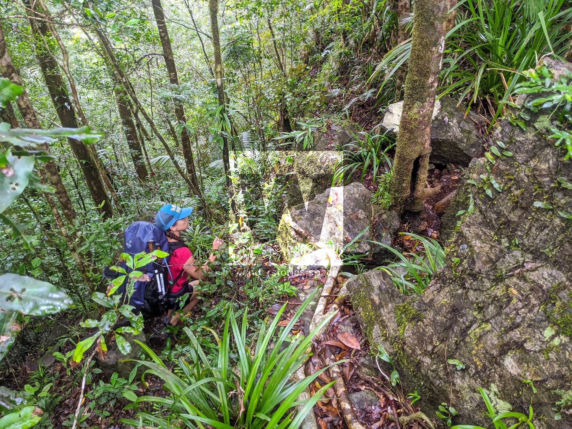
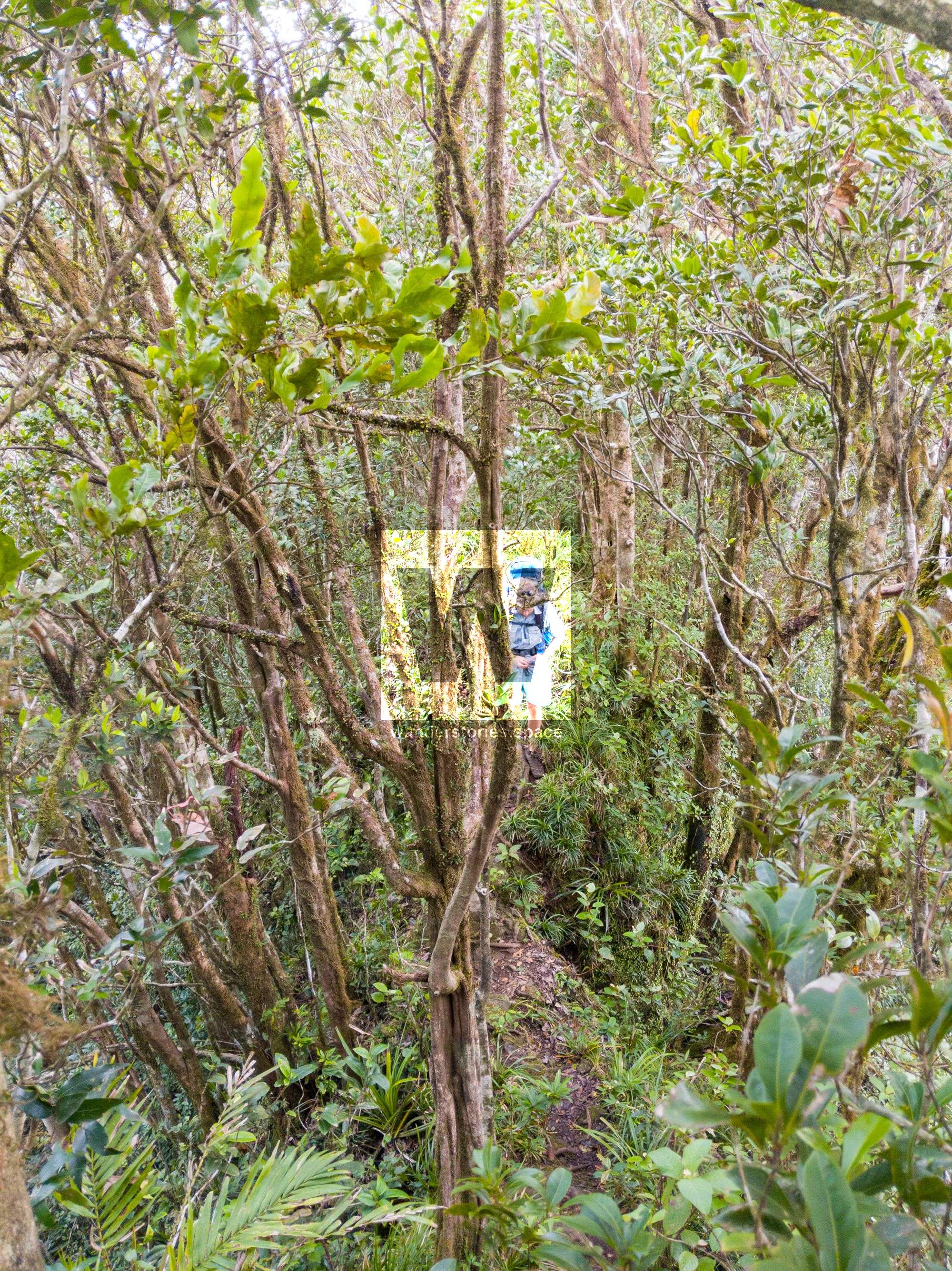
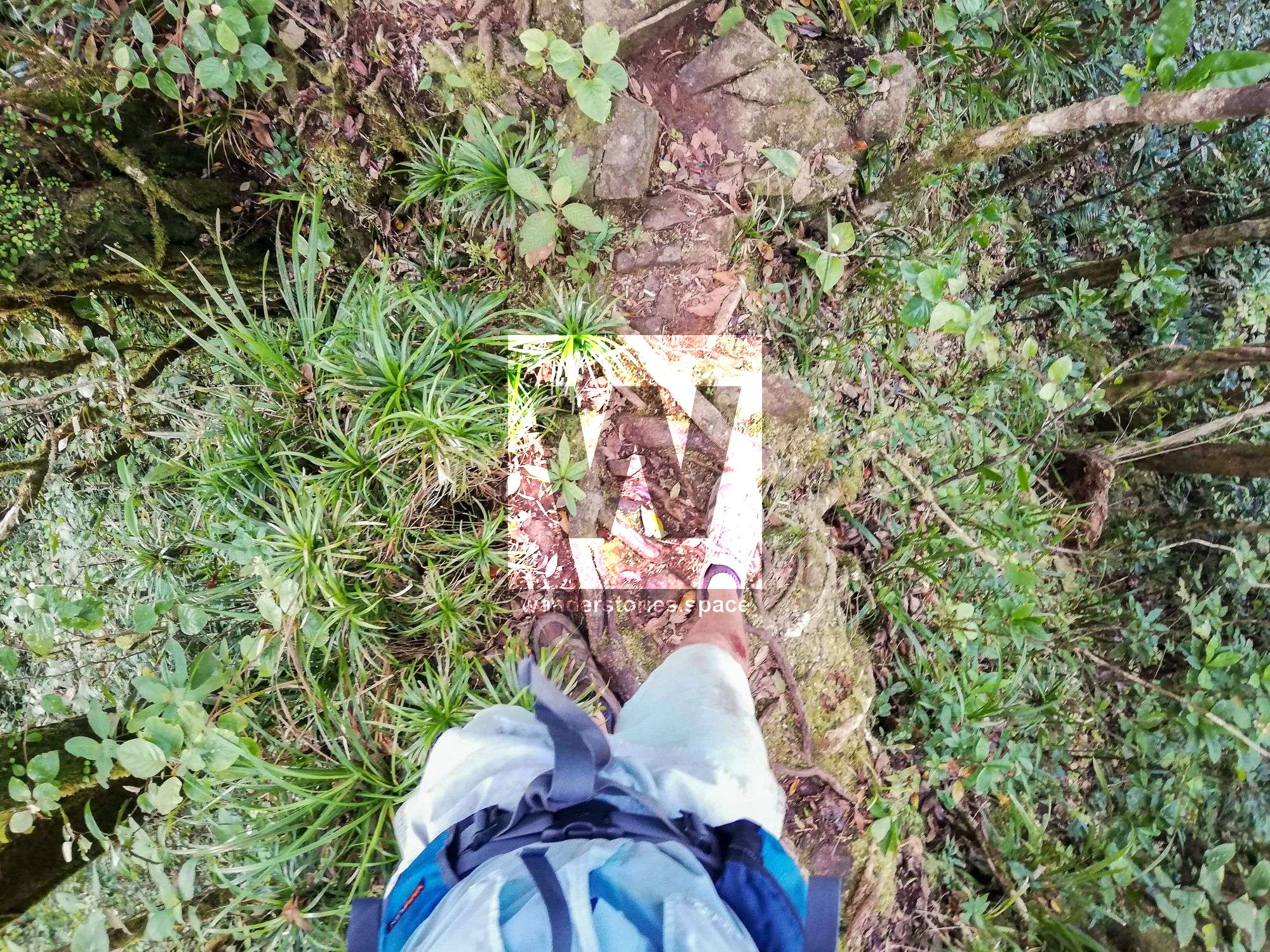
The knife-edged ridge; photo credit Sam Noonan and Luen Warneke
Mount Sorrow Lookout to Roaring Meg Creek
Time: 1.5 to 3 hours
Distance: 4 km
Note: abid all national park signage. Permits are required were regulatory notice is given.
From the national park lookout platform, follow the knife-edged ridgeline to another exposed rocky lookout point. This is a great place to enjoy the views of all the beaches and reefs. On a clear day, you may even be able to see Undine Cay - a public Sand Cay. From this rocky outcrop lookout, continue along the rough trail following the pink flagging tape. In our experience, the pink flagging tape will become more prevalent as you progress. However,
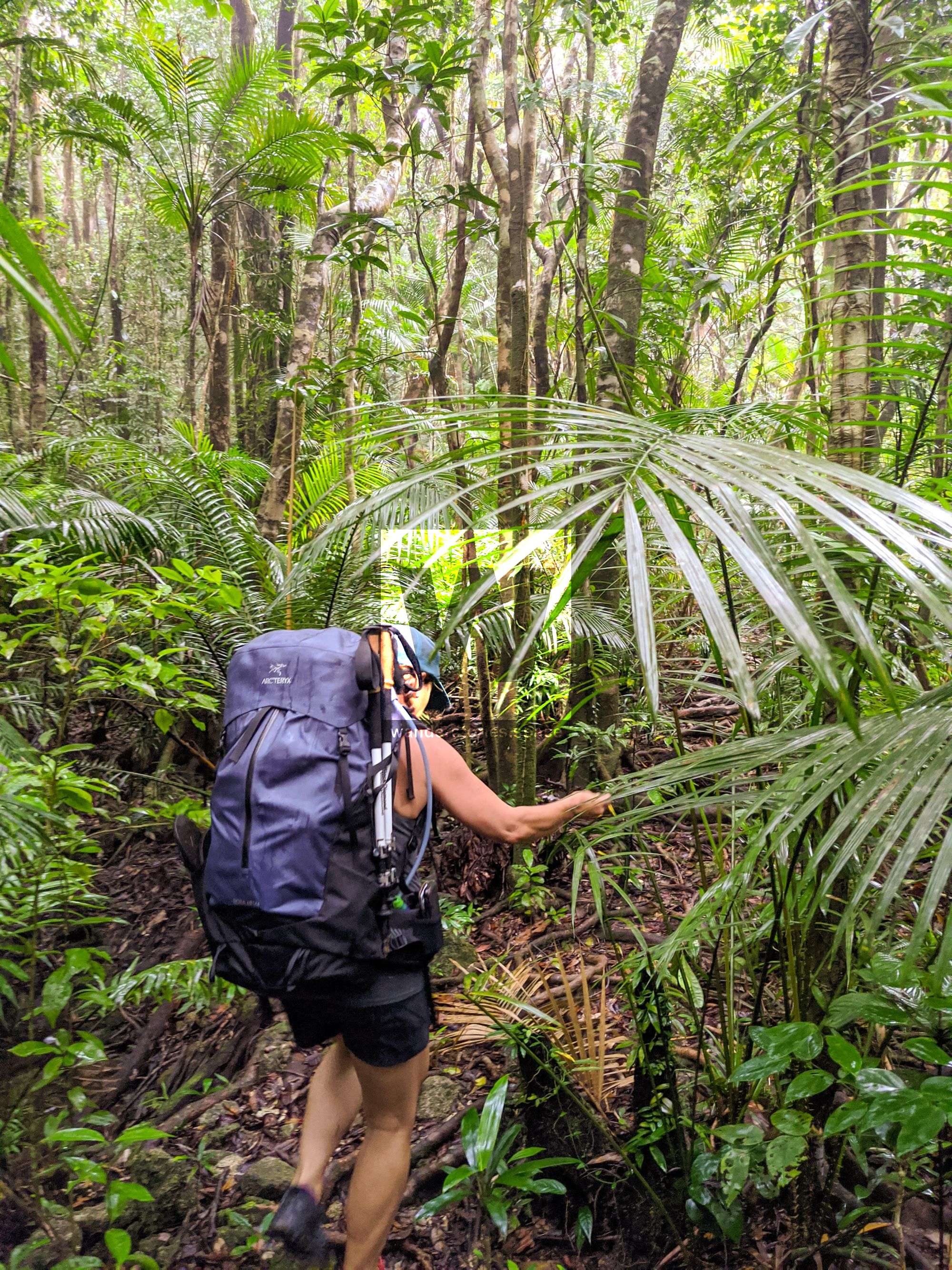
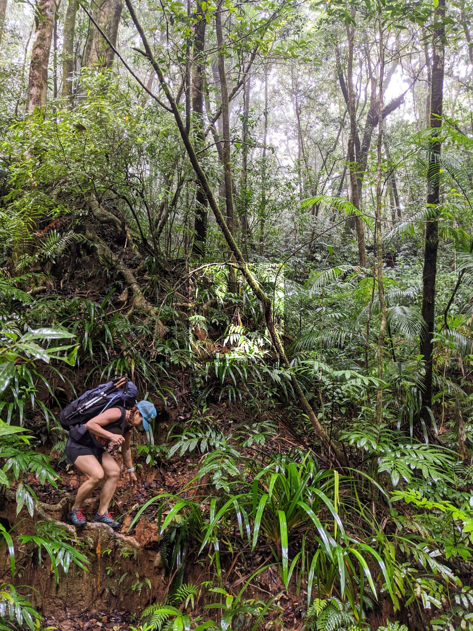
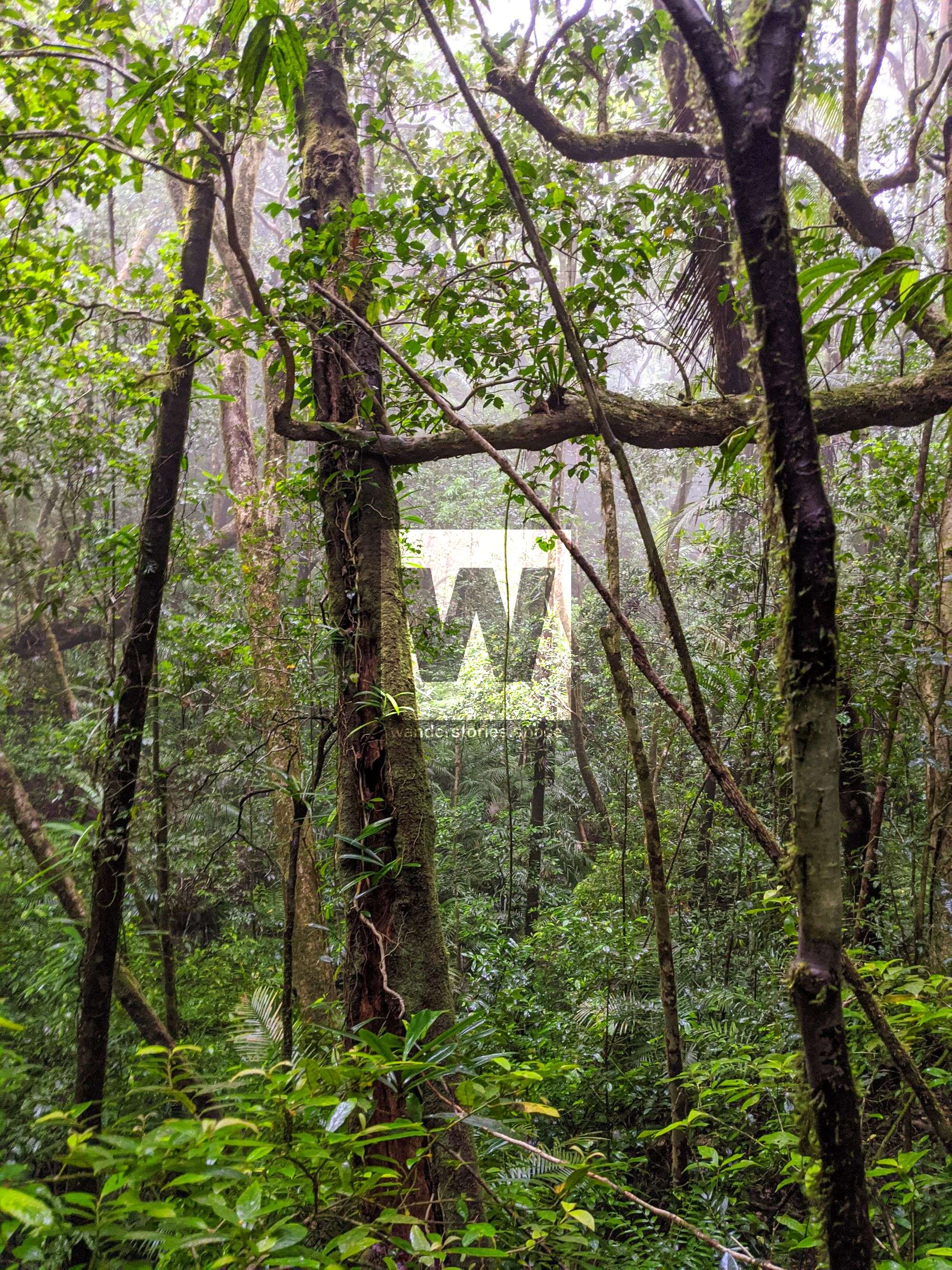
The track slowly ascends a ridge before descending down into a swamp-like area. Continue down to cross a small creek and up the other side of the creek. Before long, you will continue to descend down into a large, technical boulder field.
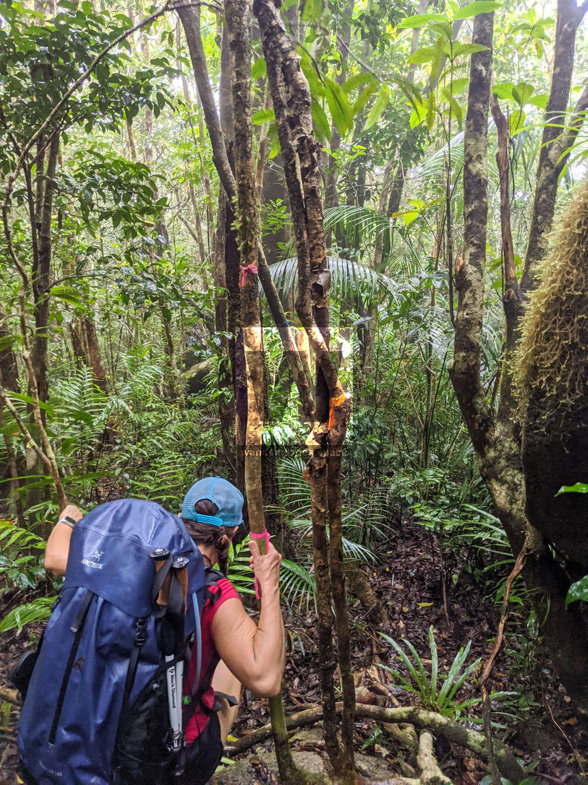
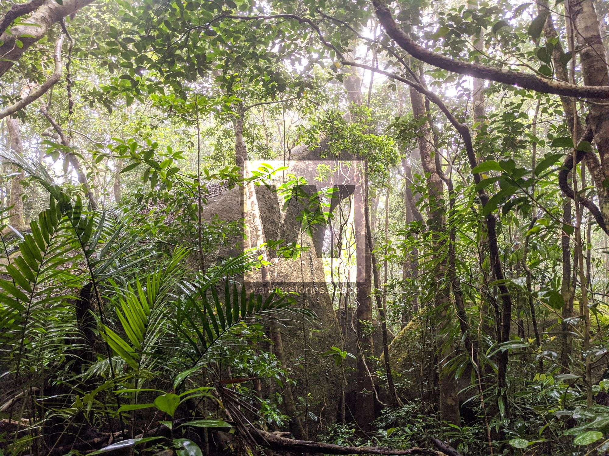
Once you navigate through the boulder field, you will notice a small creek near the track, the track follows this small creek down until you reach the larger Roaring Meg Creek. Roaring Meg Creek is the perfect place to rest, set Fup camp, and replenish water supplies. There are plenty of places to camp here in either a tent or hammock. Note that permits are required to camp in national park and must be obtain prior to commencing your hike.
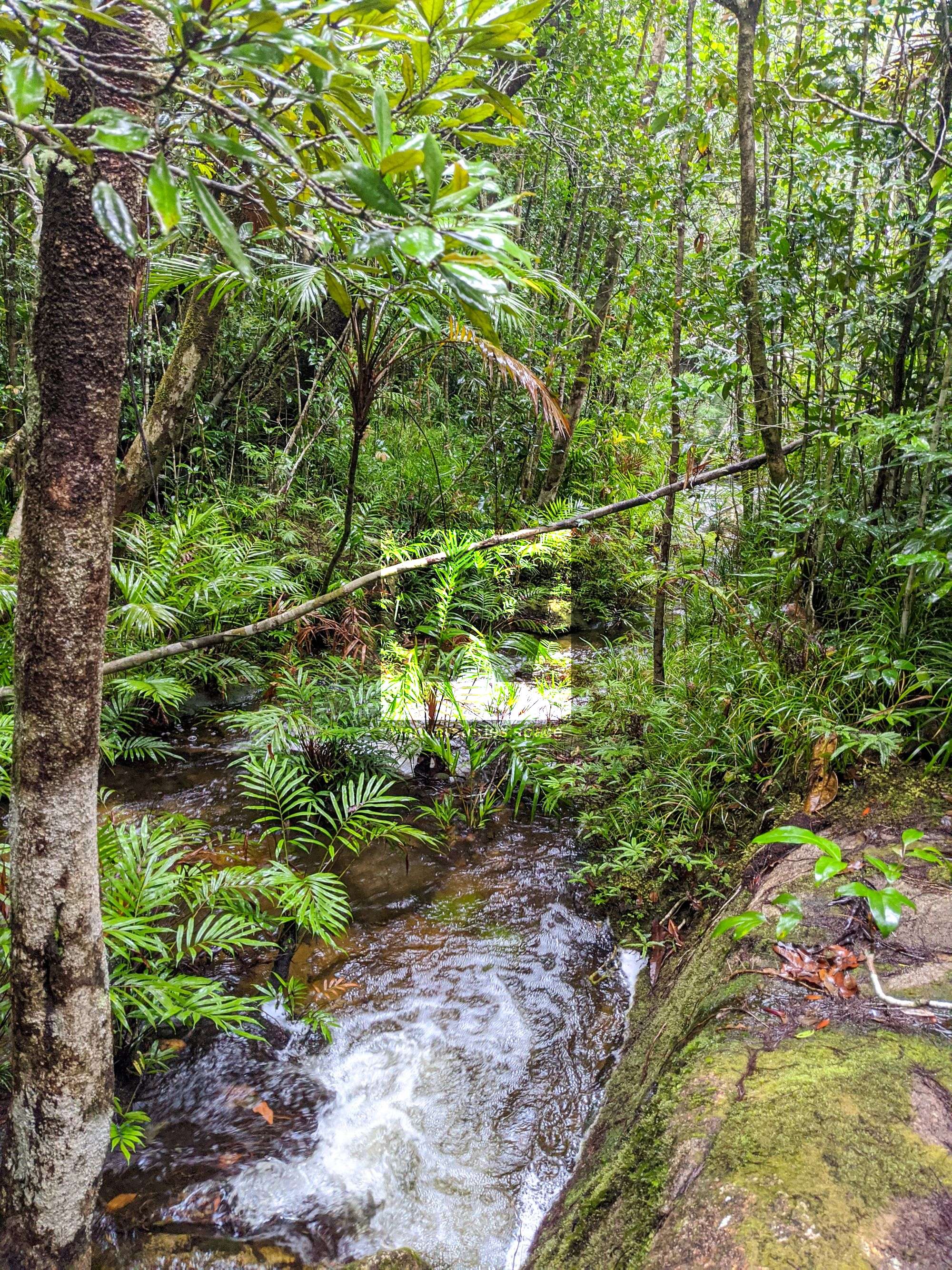
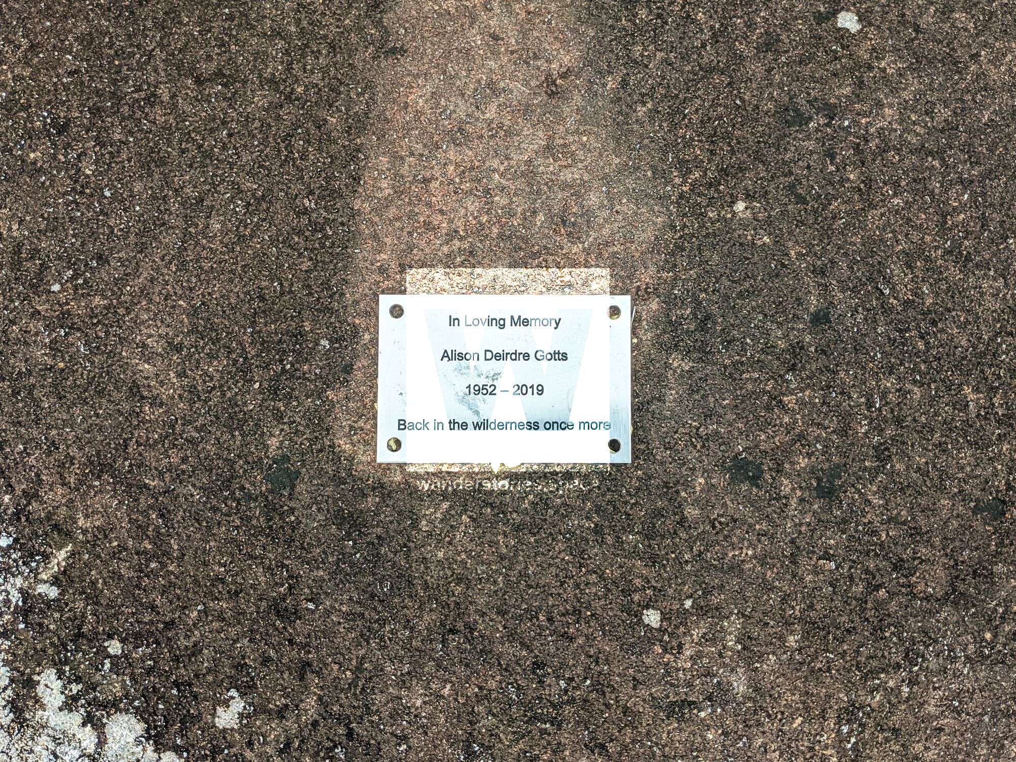
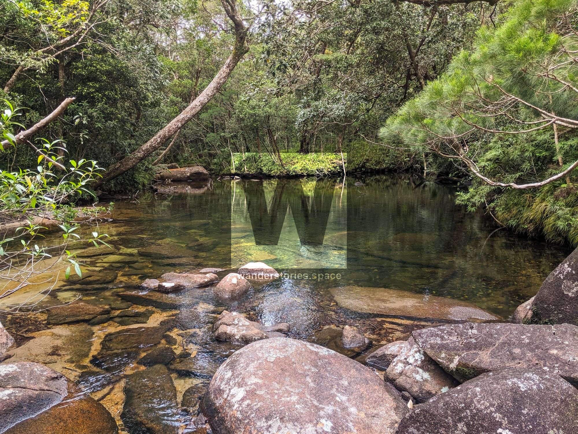
A plaque is located by the creek and reads - "In loving memory of Alison Deirdre Gotts 1952 - 2019 Back in the wilderness once more"
Alison Gotts was a well-respected artist, exotic rare fruit grower, and passionate bushwalker. Alison Gotts and her husband, Digby Gotts, became addicted to bushwalking while at Monash Bushwalking Club back in the 1960s. After a varied career in education, they retired to Mossman, Queensland from their permaculture fruit farm at Cape Tribulation. They spent their retirement hiking, catching up on all those trips where the career got in the way of the lifestyle. She has been returned to her favourite wilderness area behind Cape Tribulation, Roaring Meg Creek.
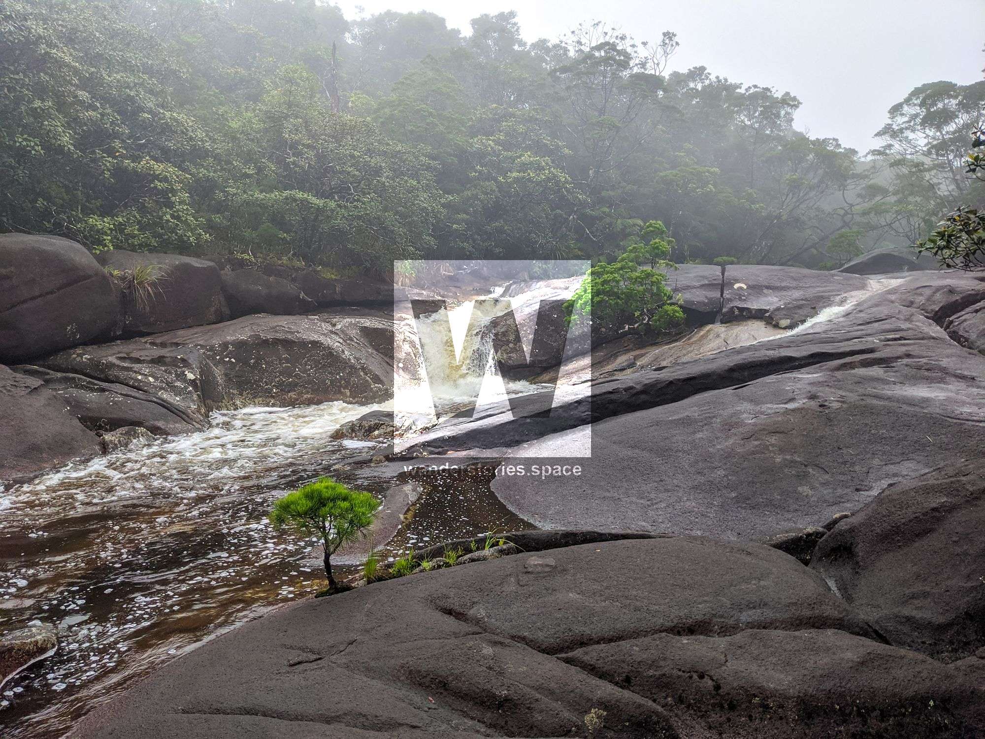
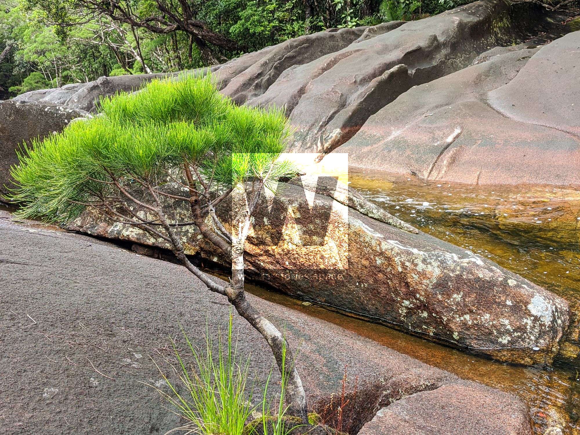
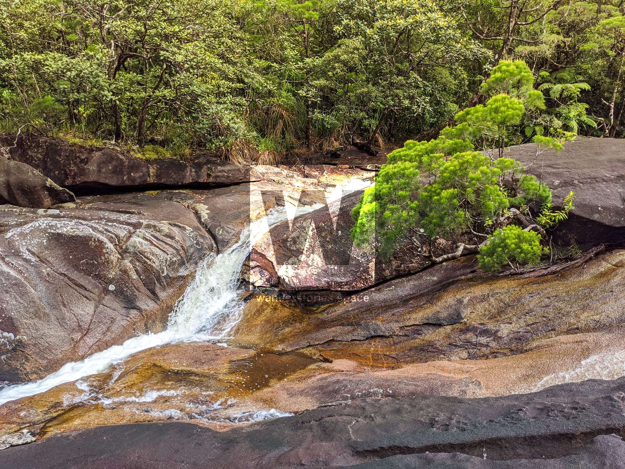
If you cross the creek and continue further along the trail toward Mount Pieter Botte, there are a couple more places to camp; however, beyond Roaring Meg Creek, there will no longer be easy access to water.
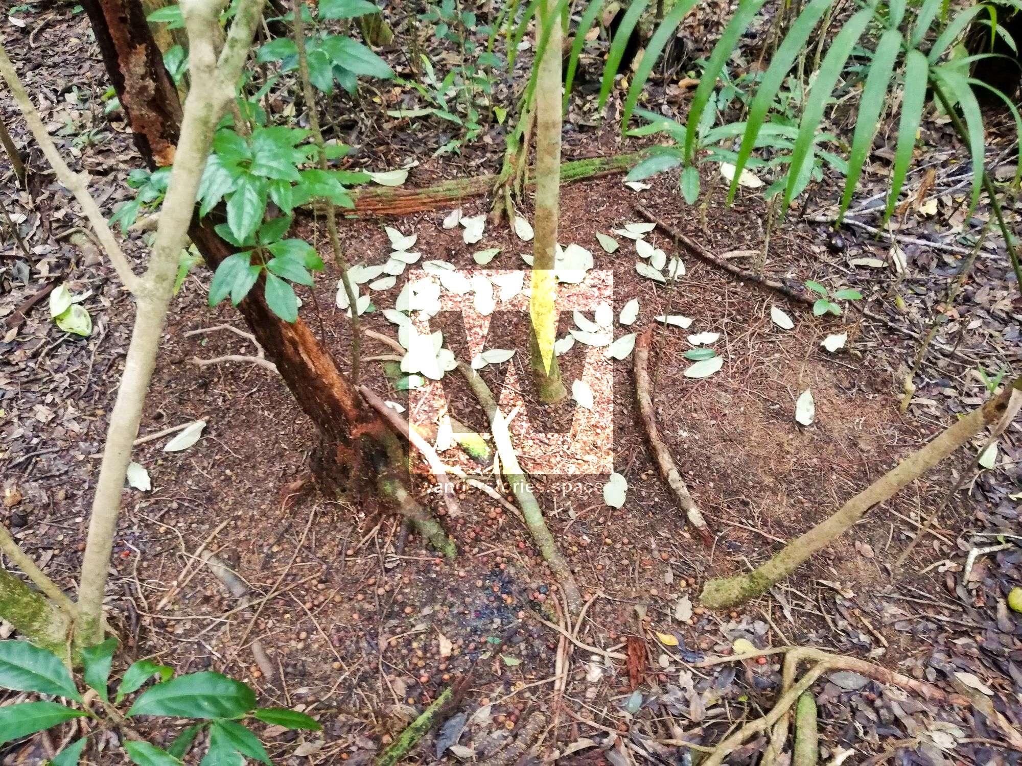
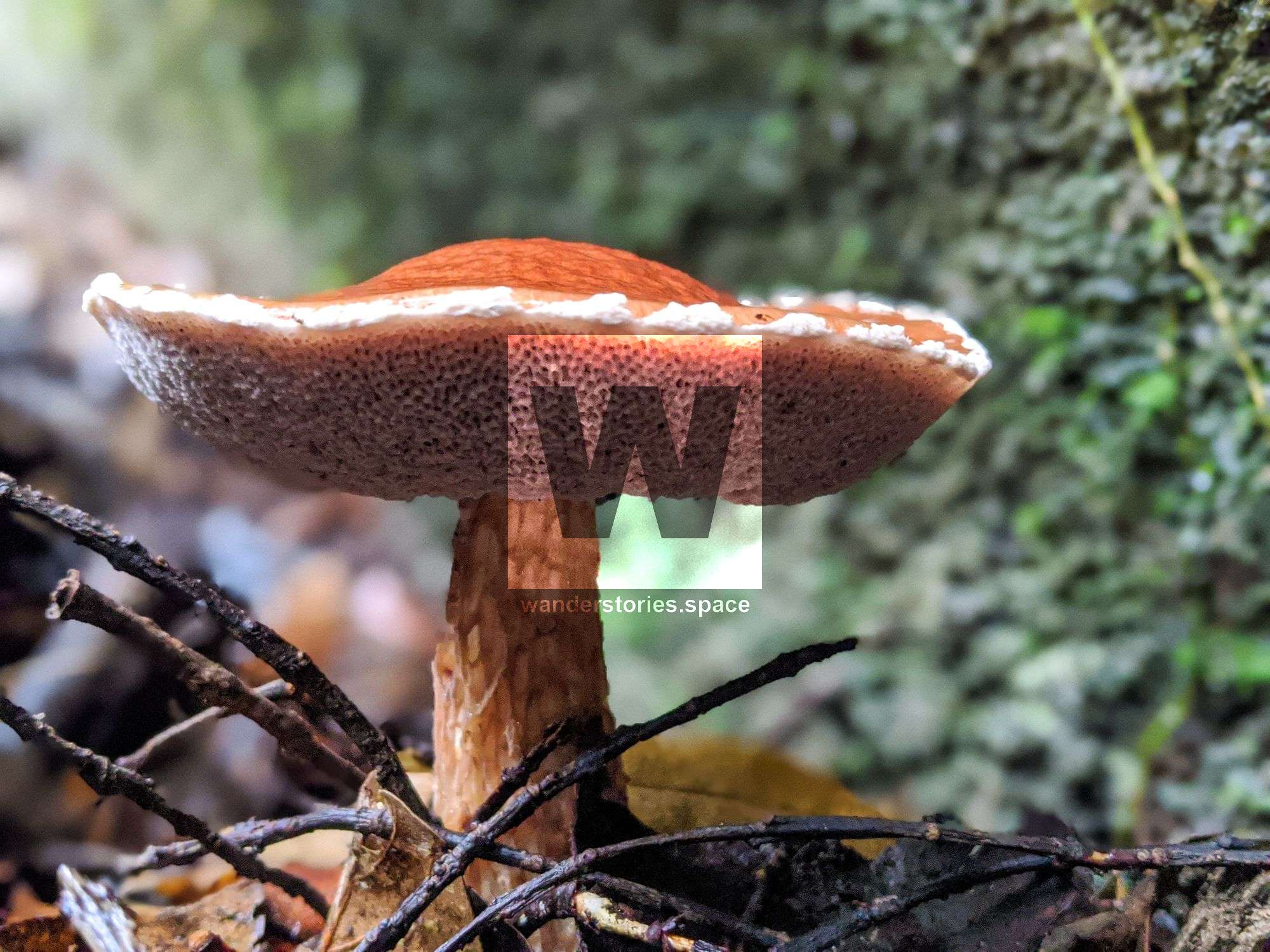
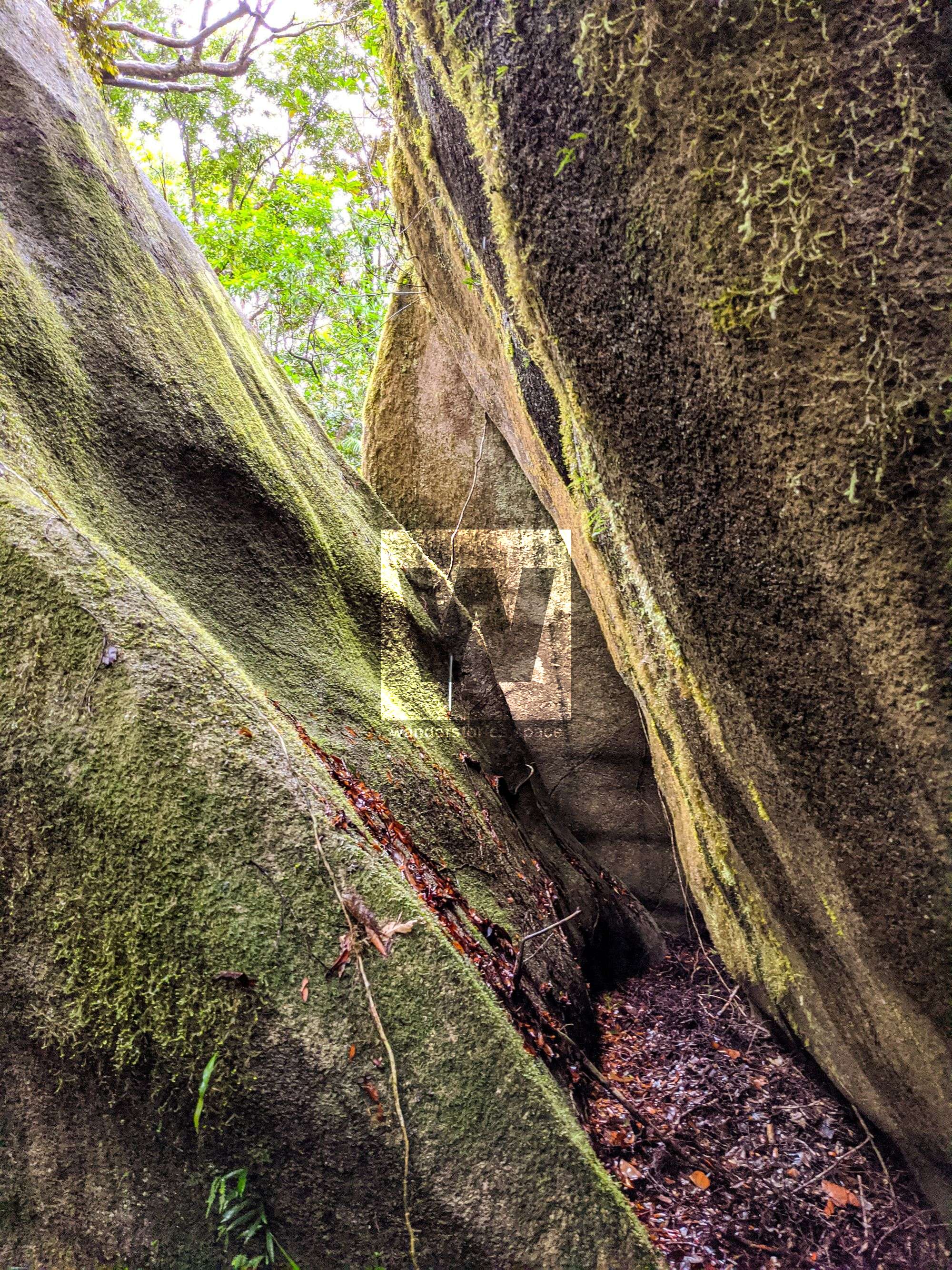
Roaring Meg Creek to the Lava Spit
Time: 15 to 30 minutes
Distance: 1 km
After you Cross Roaring Meg Creek, you will see the next flagging tape directly across on an overhanging branch. Continue into the rainforest, following the flagging tape for approximately 30 minutes to the base of the lava spit. Once you get to the lava spit, climb the slab of the lava rock, and traverse along the top toward the left. It is important to note that there are no pink tags on the lava spit, however.
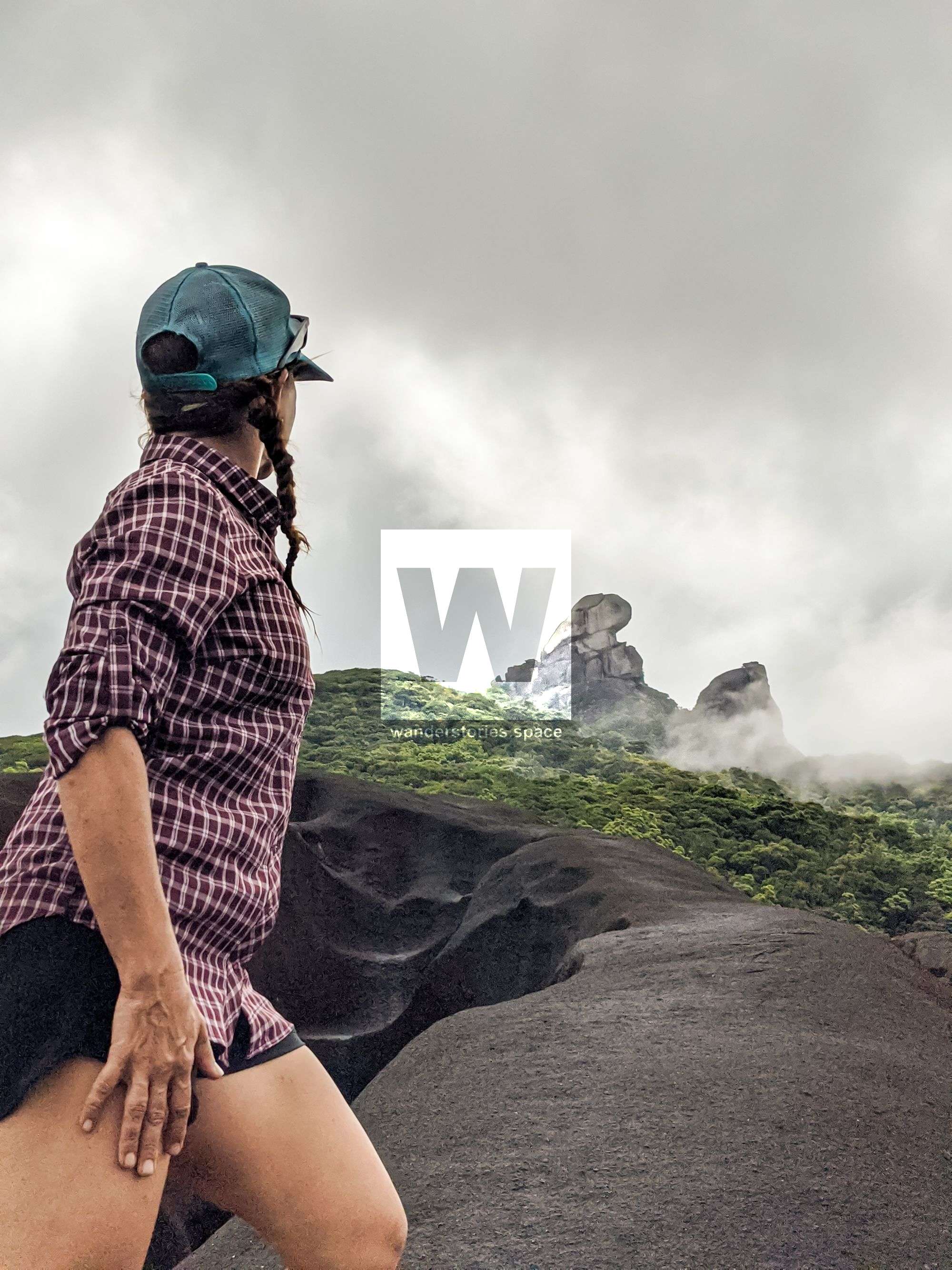
From the lava spit, if conditions are at least relatively clear, you will see Mount Pieter Botte for the first time. Grand views of the surrounding lava flows, the valley surrounding Roaring Meg Creek, and the peak can also be seen. From here, Mount Pieter Botte looks close; however, its huge size fools you into thinking so. In reality, you are still a long way from the summit.
Lava Spit to the Saddle
Time: 1.25 to 3 hours
Distance: 2 km
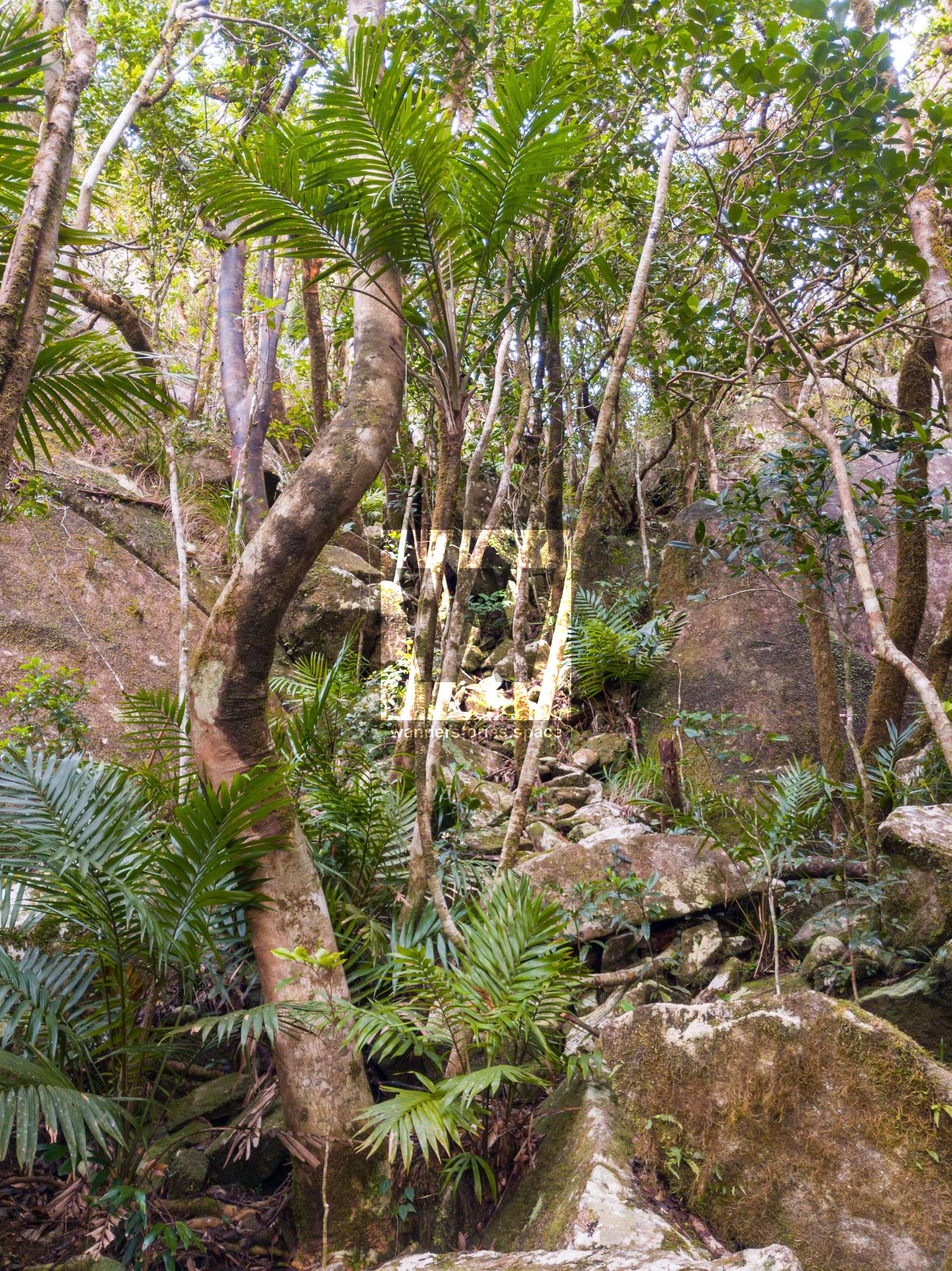
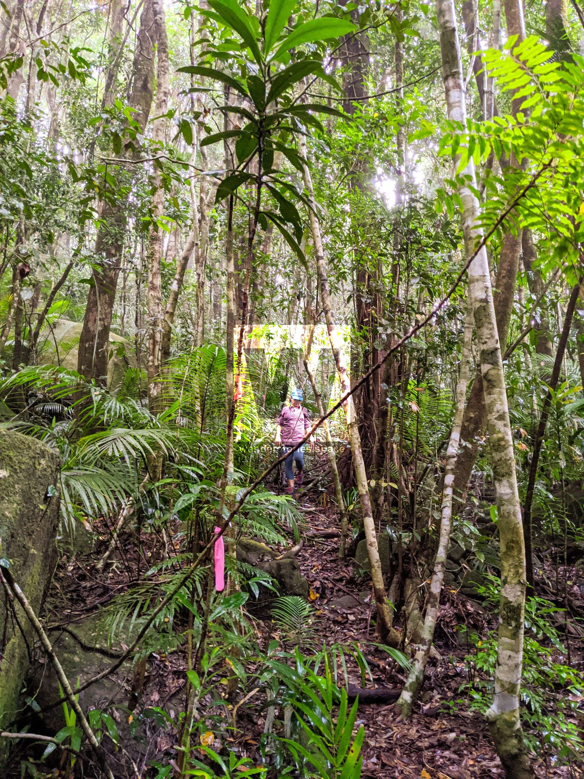
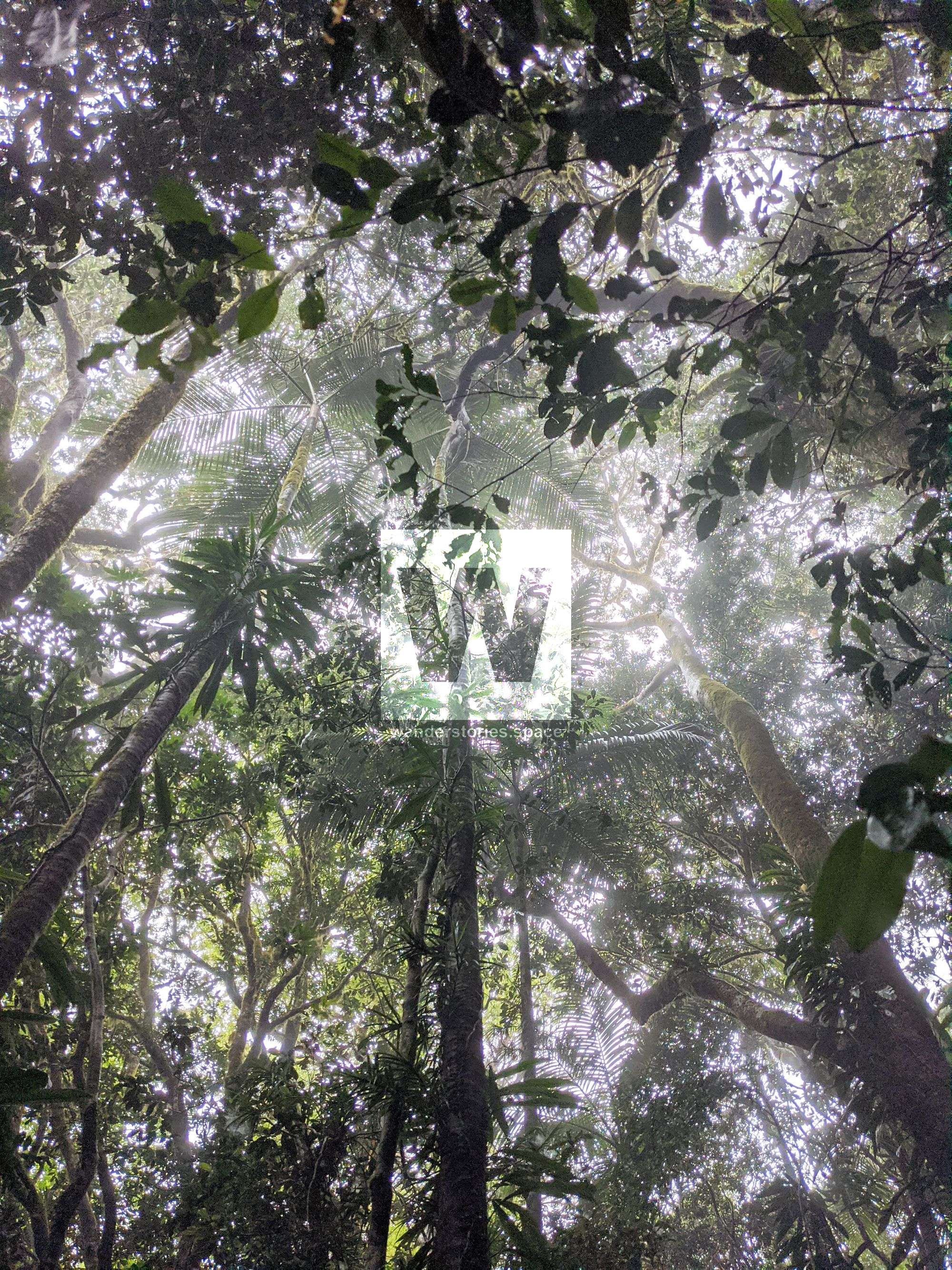
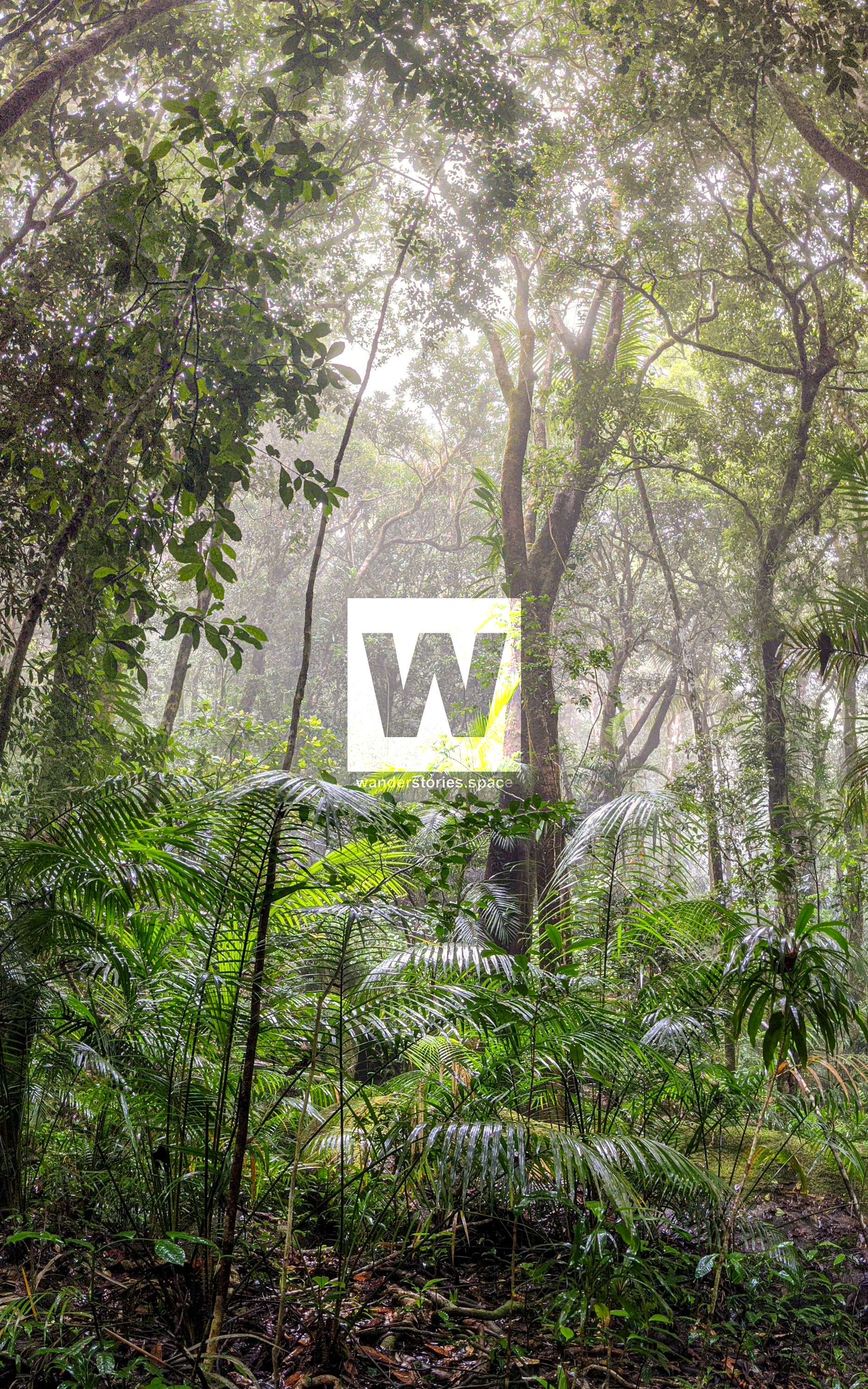
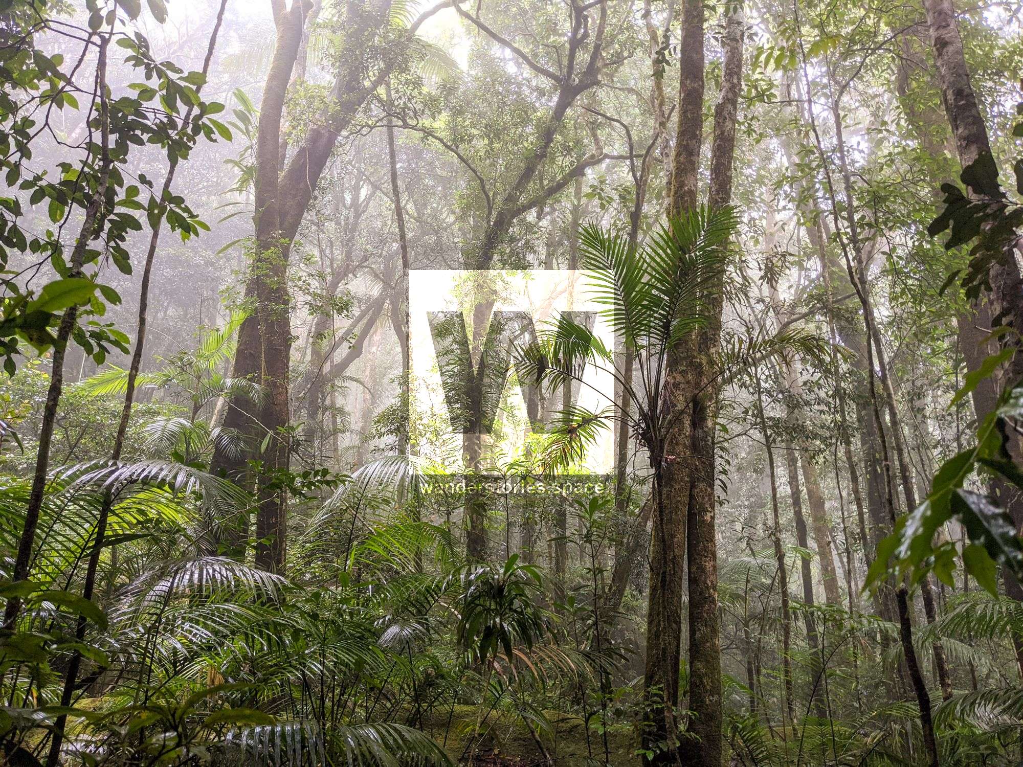
Once you reach the top of the lava spit, head into the rainforest again. From here, you will face a hard, technical climb through thick rainforest and over and under large boulders. Again, it can be a bit of a maze through the boulder fields to the summit. So, pay close attention to the trail and flagging tape. Continue on through the rock garden and boulder fields to the saddle between the North and South Peaks.
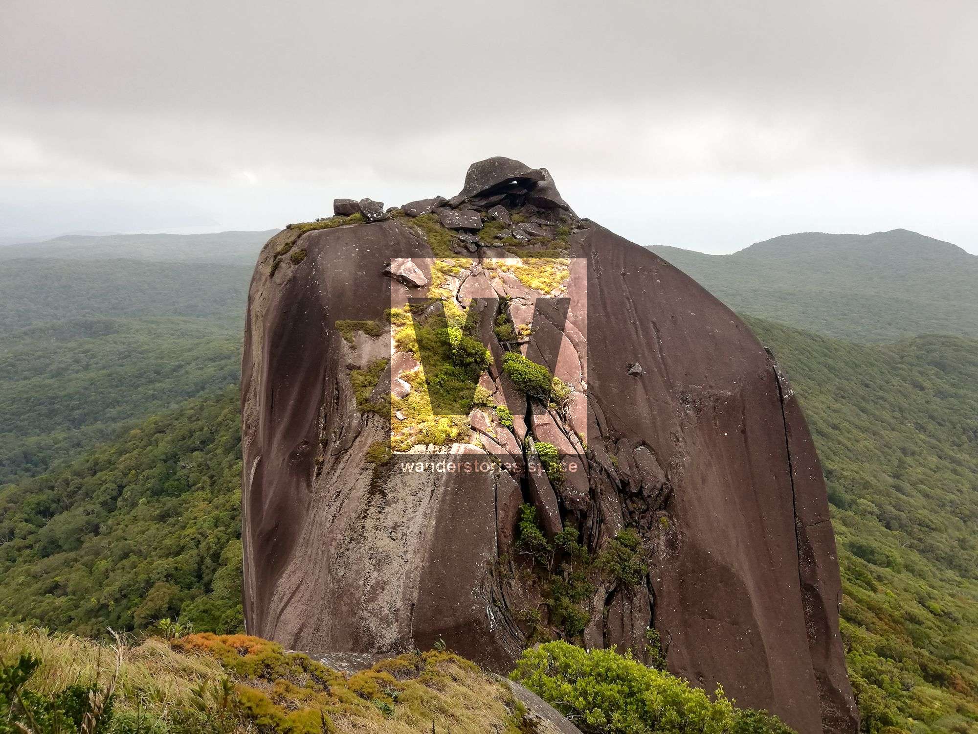
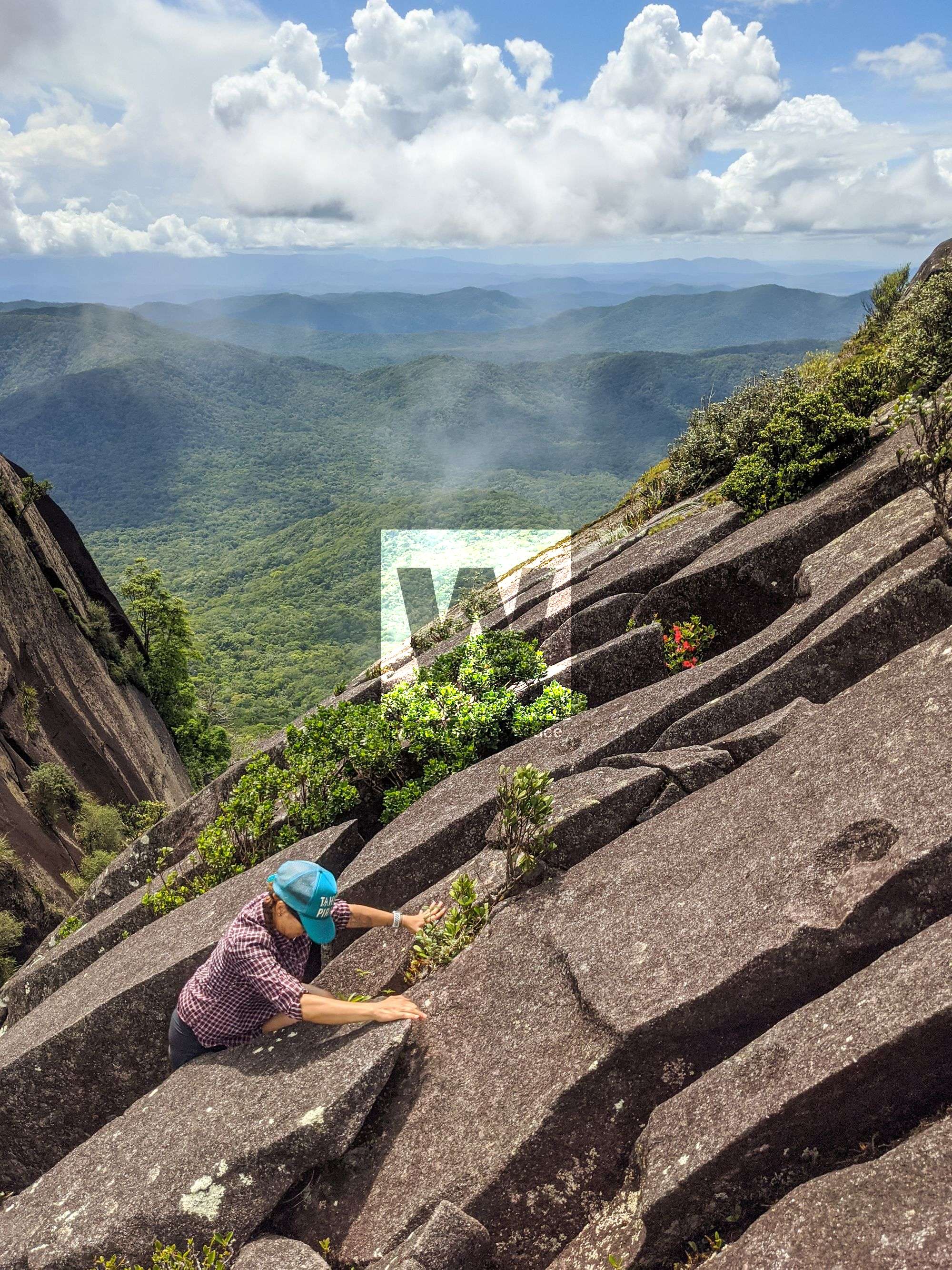
Ascending the North Peak; PC: Sam Noonan and Luen Warneke
The Saddle to the North Peak
Grade: 8
Time: 2 min
Distaince: 60 m
An easy scramble will take you to the summit of the North Peak, which offers better views and photos opportunities than from anywhere else. Stunning views of the Cairns Regional Electricity Board (CREB) Track, Bloomfield, Weary Bay, Agincourt Reef, Undine Cay, Lava Flows, Mount Sorrow, and the towering South Peak of Mount Pieter Botte can be seen. Most people summit the North Peak and return to complete their journey.
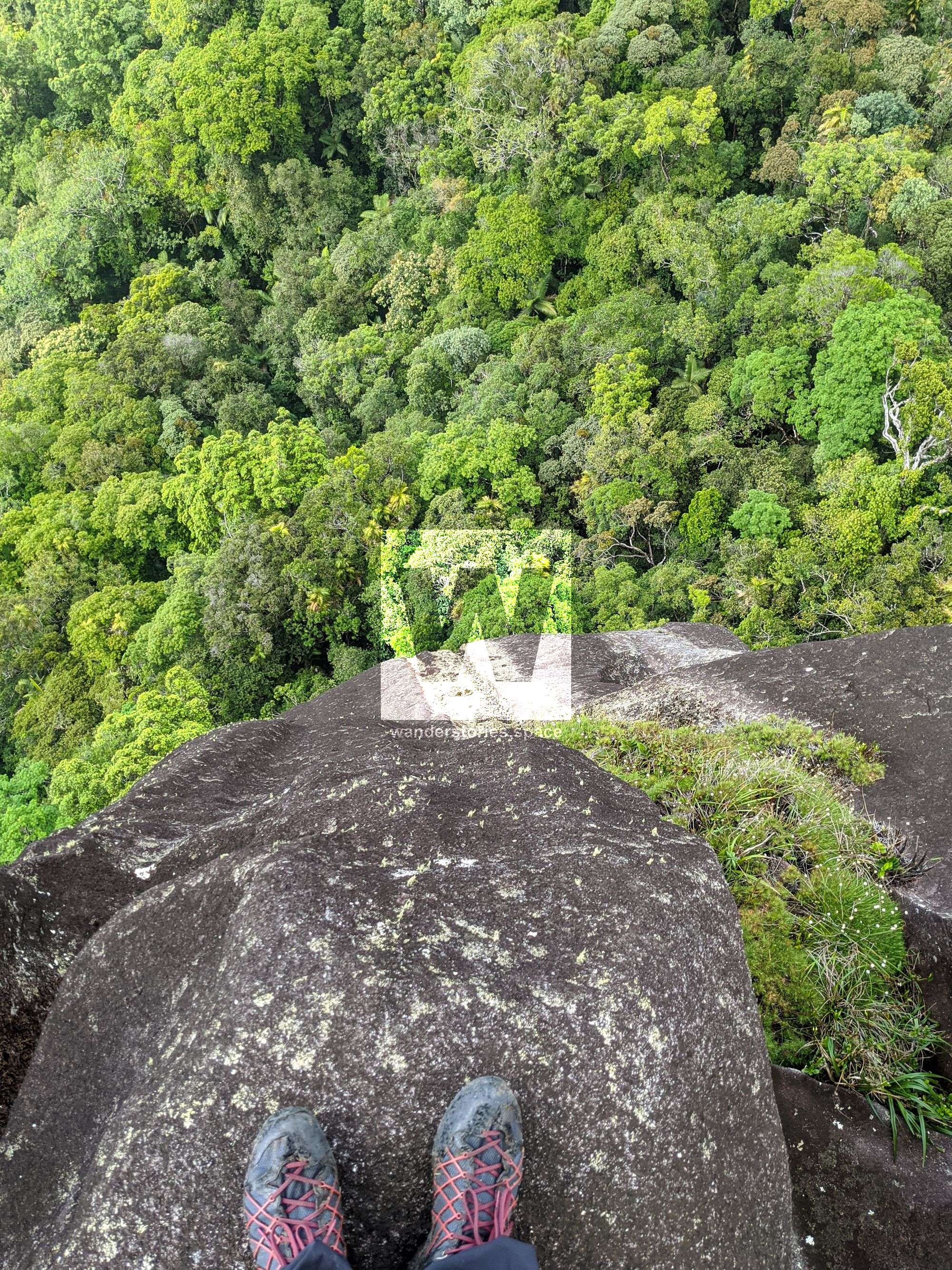
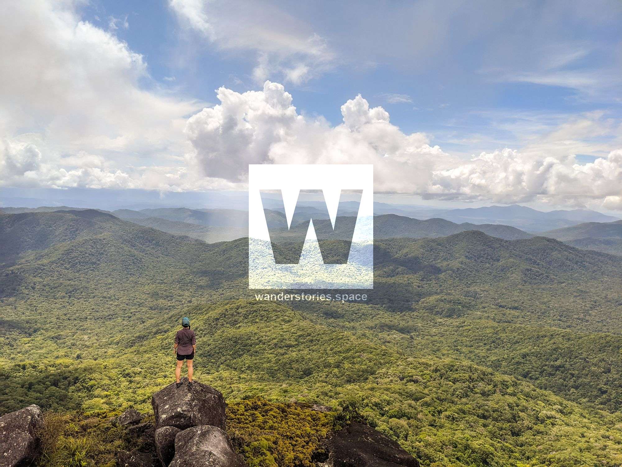
North Peak
The Saddle to the South Peak platform
Grade: 10
Time: 15 min
Distance: 200 m
From the North Peak, it is possible to scramble southward, up the vegetation and around the right side of the rocks. Continue to head down and around some more rocks, contouring left. Then, begin to scramble up the southeast side of the South Peak to reach the platform just below the South Peak's summit. This was the highest point that those on the first European expedition reached.
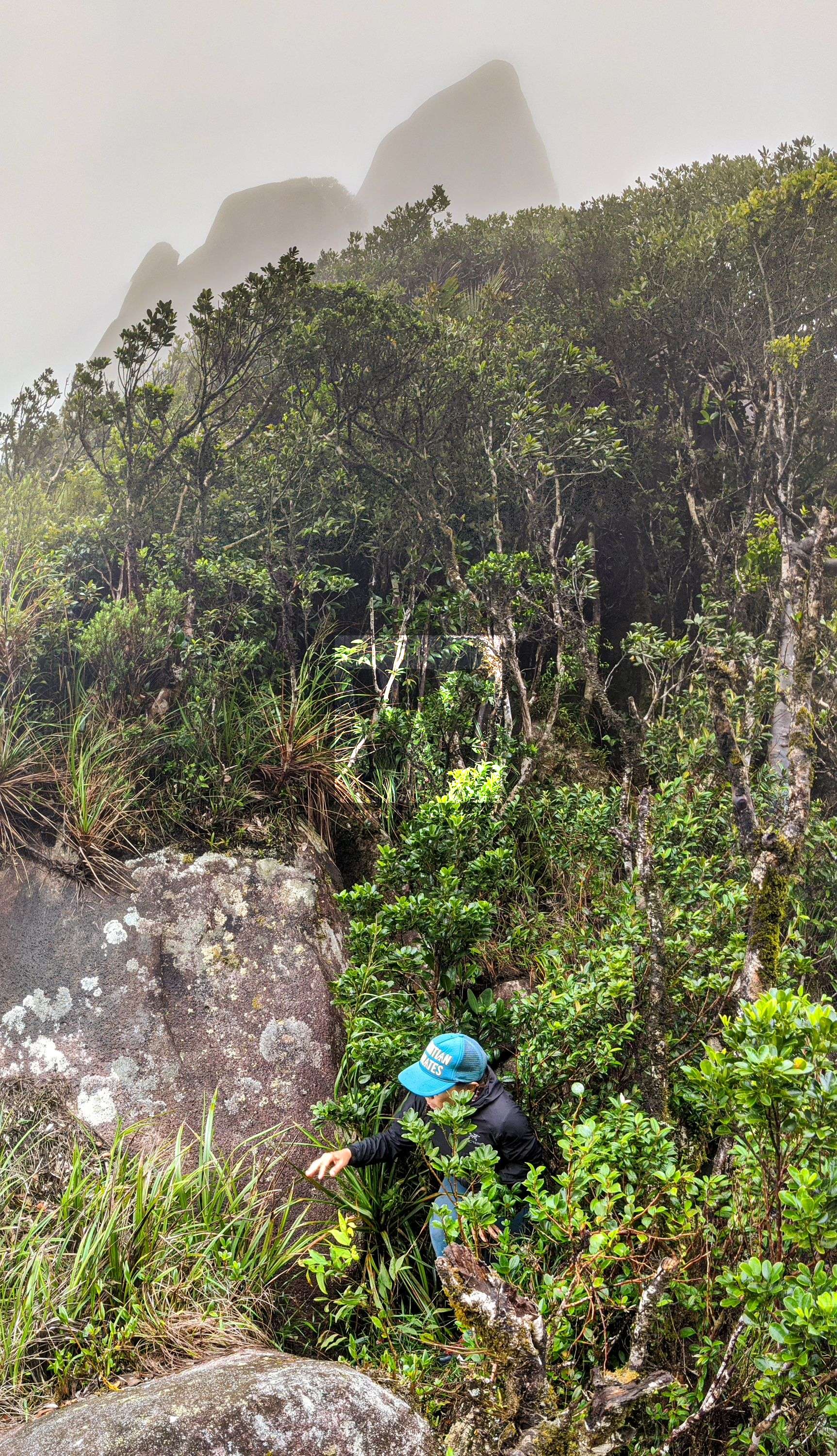
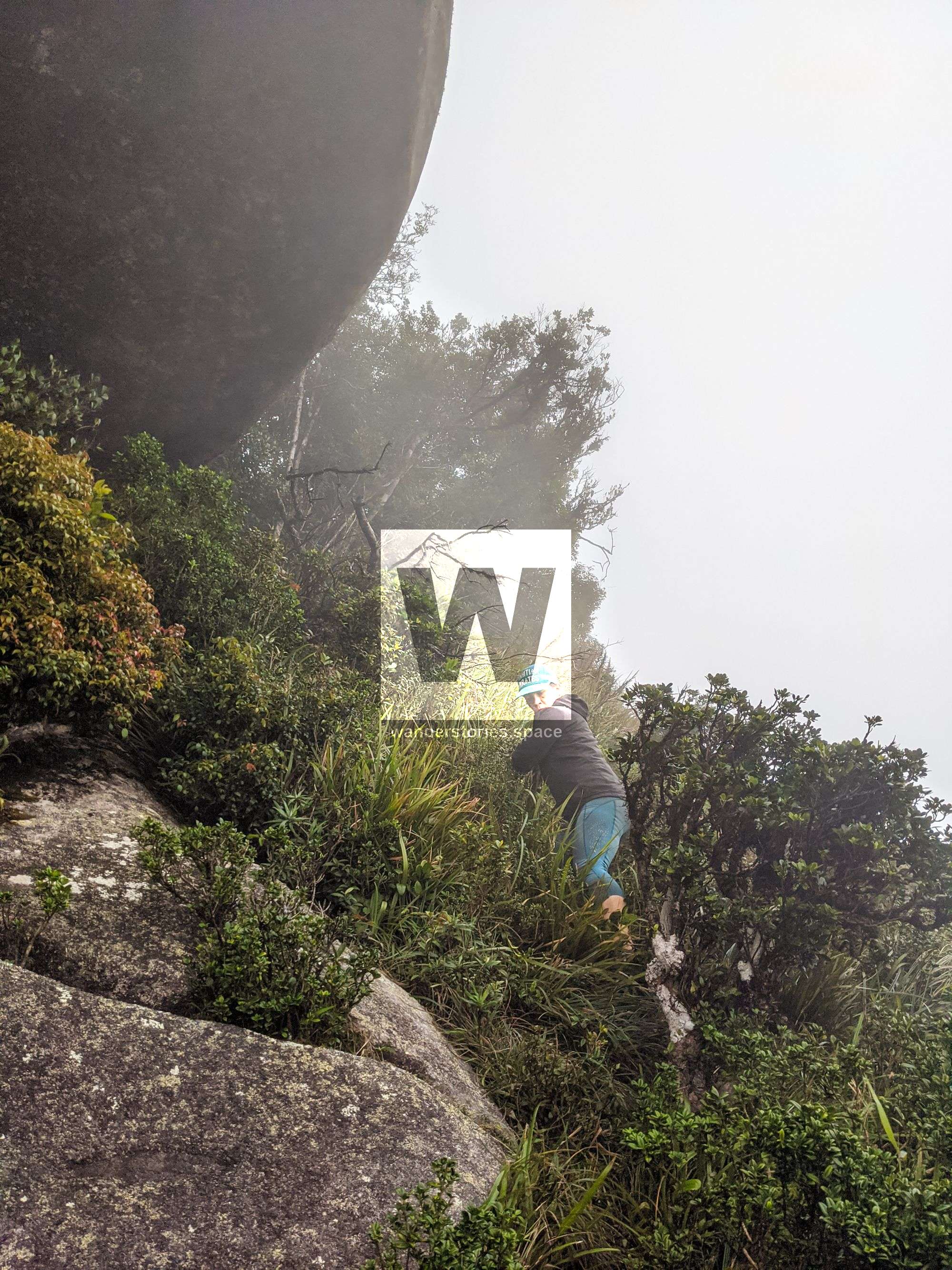
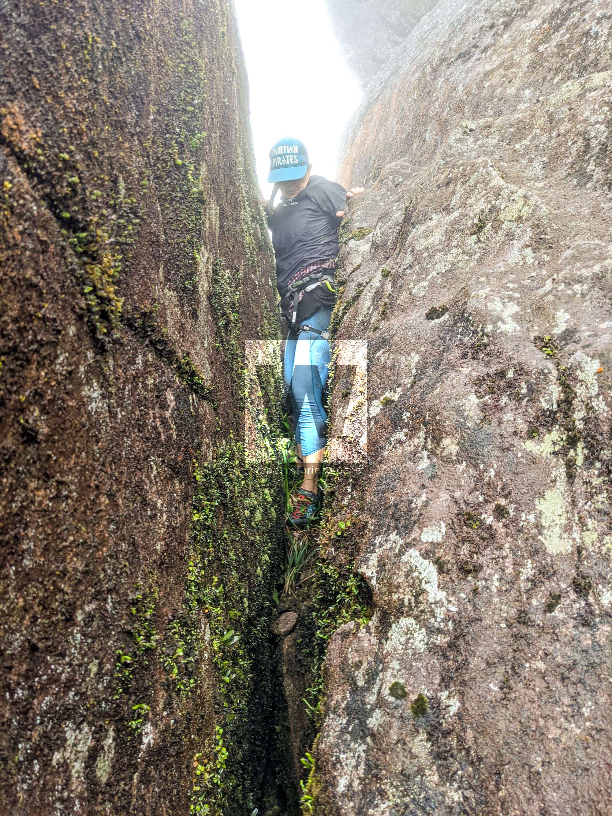
Ascending to the South Peak platform
The South Peak platform to the summit
Route name: Walking in the clouds
Grade: 17 A1
Distance: approximately 55 m
Time: 30 min to 1.5 hours
Summiting the South Peak from this point consists of climbing for about 55 metres up a relatively featureless, sheer granite face, which requires ropes, aid climbing gear, vast experience, and is not a feat that should be taken lightly. Climb the off-width chimney to the top of the balancing rock. There will be no protection for at least five metres. Proceed over the bulge to the slab. Then, pass the scooped ledge to the vegetated crack and granite shield. From there, continue over the lip of the shield, then up more slab after which you will top out via a mantle. The route requires aid climbing gear. For more technical aspects regarding this climb, check out Mt Pieter Botte on theCrag.
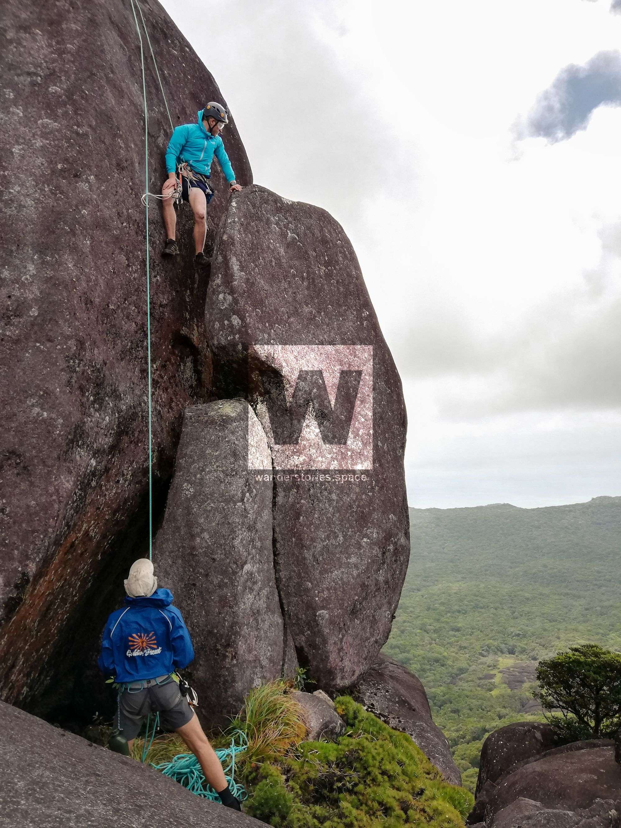
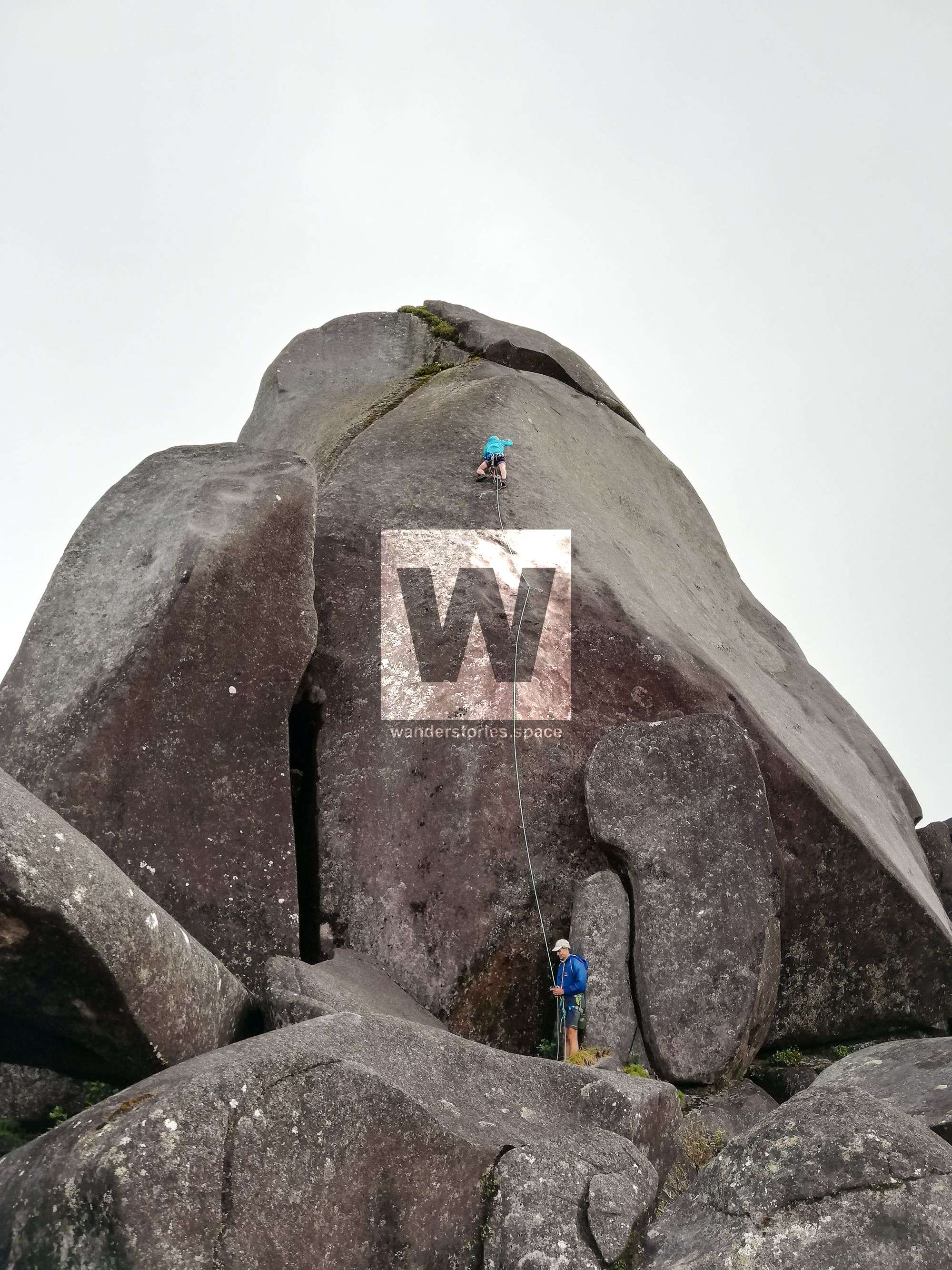
Luen Warneke's first attempt; Photo Credit: Sam Noonan
The Summit
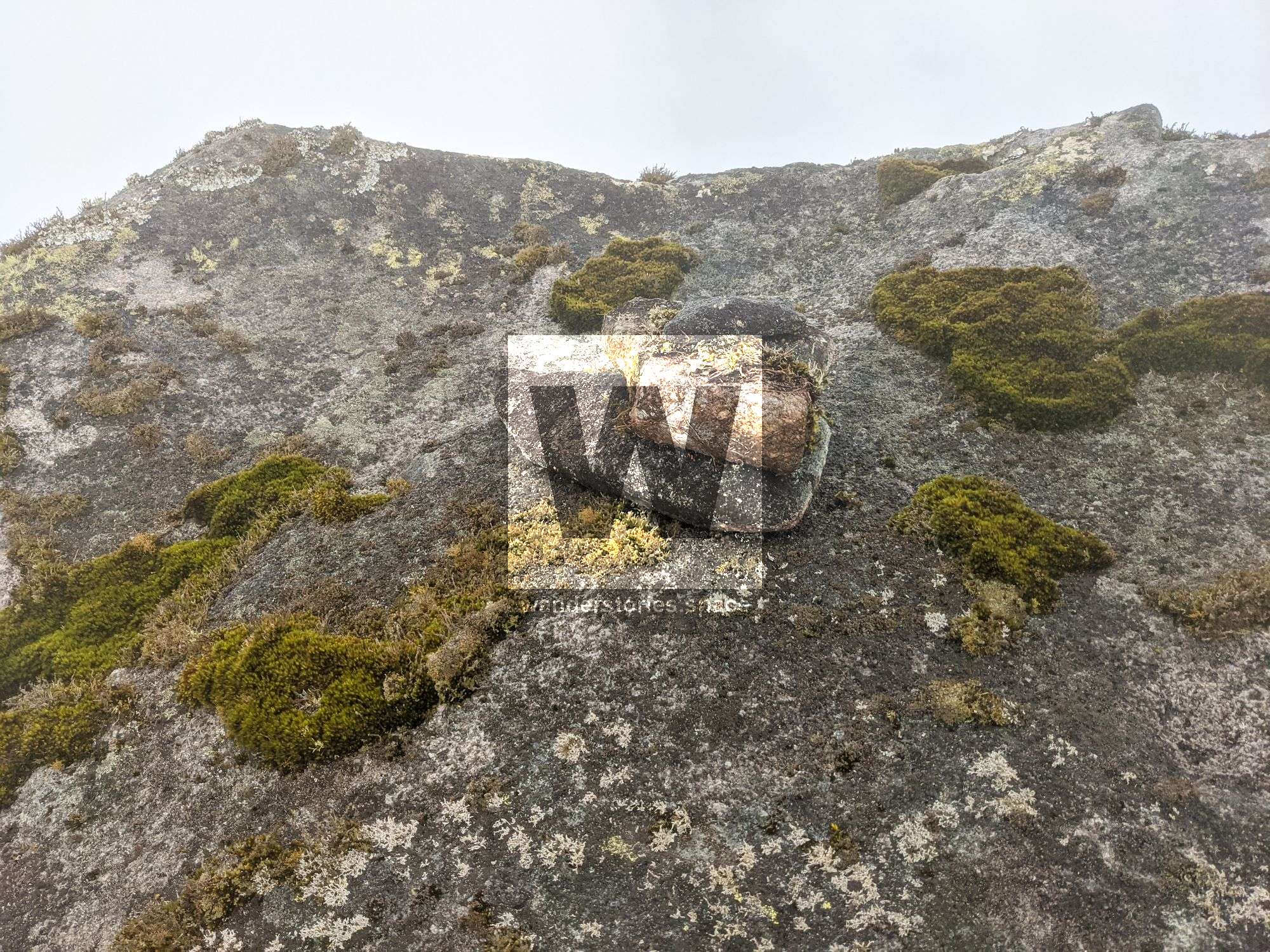
It is a humbling experience to stand atop Ngalba-bulal (Mount Pieter Botte) after a tough, 10-hour mission through untouched rainforest. Looking out from this point, it feels like you have taken a step back in time, especially with 260 million year old granite and lava flows under your feet. The rainforest that covers this area is at least 160 million years old, and many species of flora and fauna are endemic, existing only on this mountain top.
The 1896 expedition, lead by Le Souef, recorded riflebirds, catbirds, pittas, Spalding's orthonyx, shrike thrushes, Australian brush turkeys, Quoy's butcher birds, sulphur-crested cockatoos, superb fruit doves, and tree kangaroos.
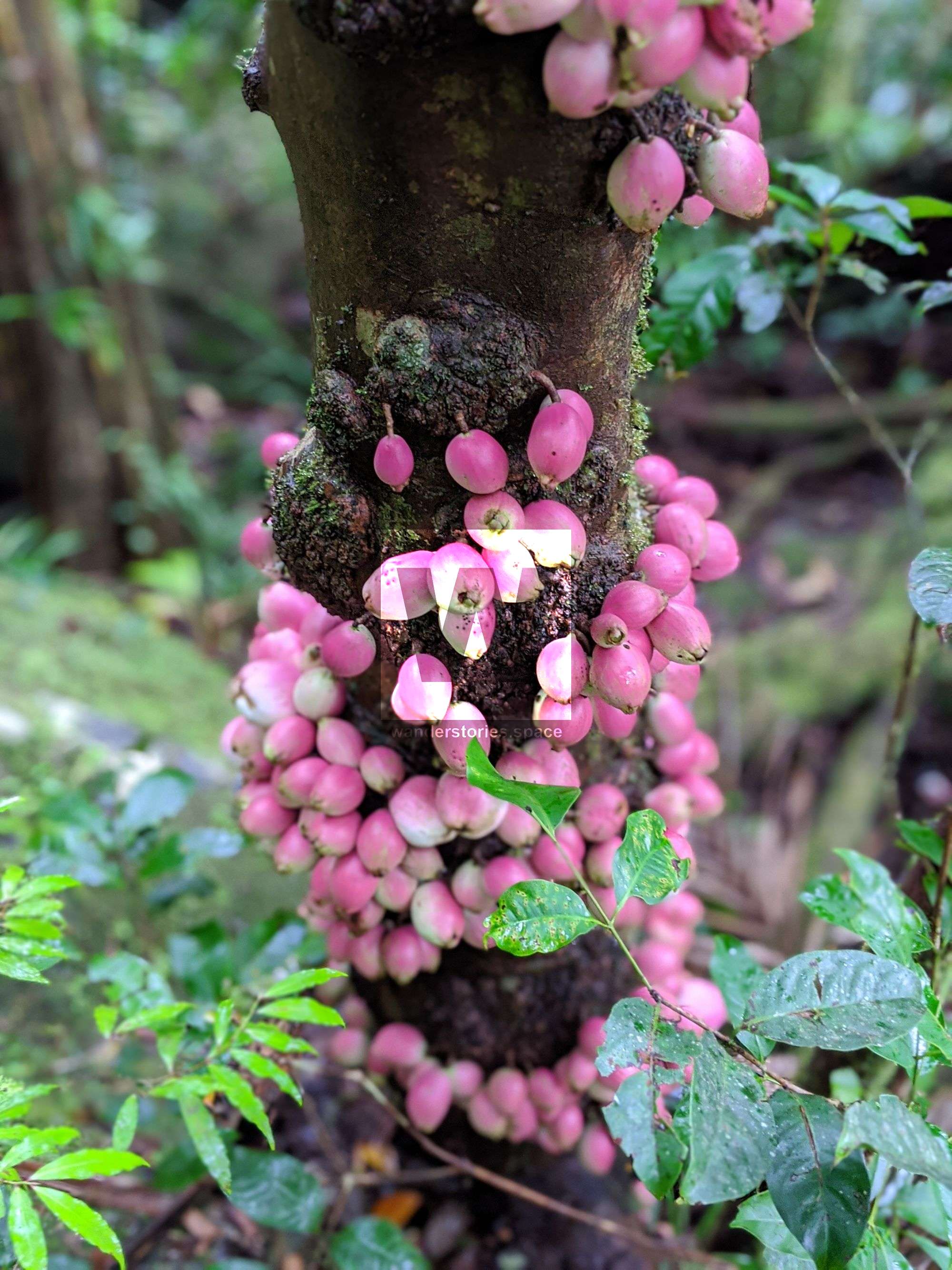
The wingless water bug, Austrovelia queenslandica, is endemic to this area as well, meaning it is found nowhere else on the planet. Armoured mist frogs (Litoria lorica), which are critically endangered, have been observed in the upper reaches of Roaring Meg Creek, just below Mount Pieter Botte. A species of a mountain rainforest understory tree (Medicosma sp.) is known only from one sample in the Mount Pieter Botte area. Romnalda ophiopogonoides is an endangered plant with only approximately 500 individuals known, including some around Roaring Meg Creek near the mountain. Eidothea zoexylocarya is a large tree that only grows in the mountain rainforests of northeastern Queensland, including Mount Pieter Botte. Indeed, this area is species rich and biodiverse, which makes the journey even more special.
The Return Journey
Most people commonly return via the same route that they took in; however, there are several groups over the years that have done this as a 'through walk' from Mount Pieter Botte to Roaring Meg Falls. Roaring Meg Falls (Kija) is a major point of interest on the CREB Track. If you plan on doing this, a four-wheel drive and car shuttle is required. Some have even made a circuit heading north along the coastal range to descend Mount Pieter Botte via the old trig station of Mount Halcyon.
Interactive Map
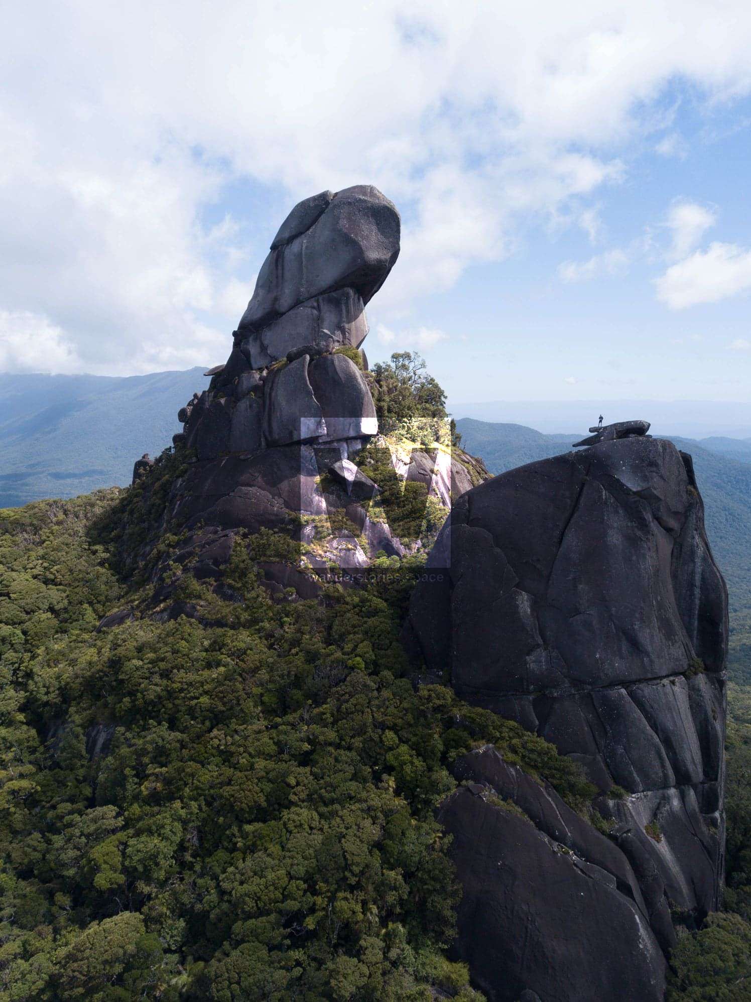
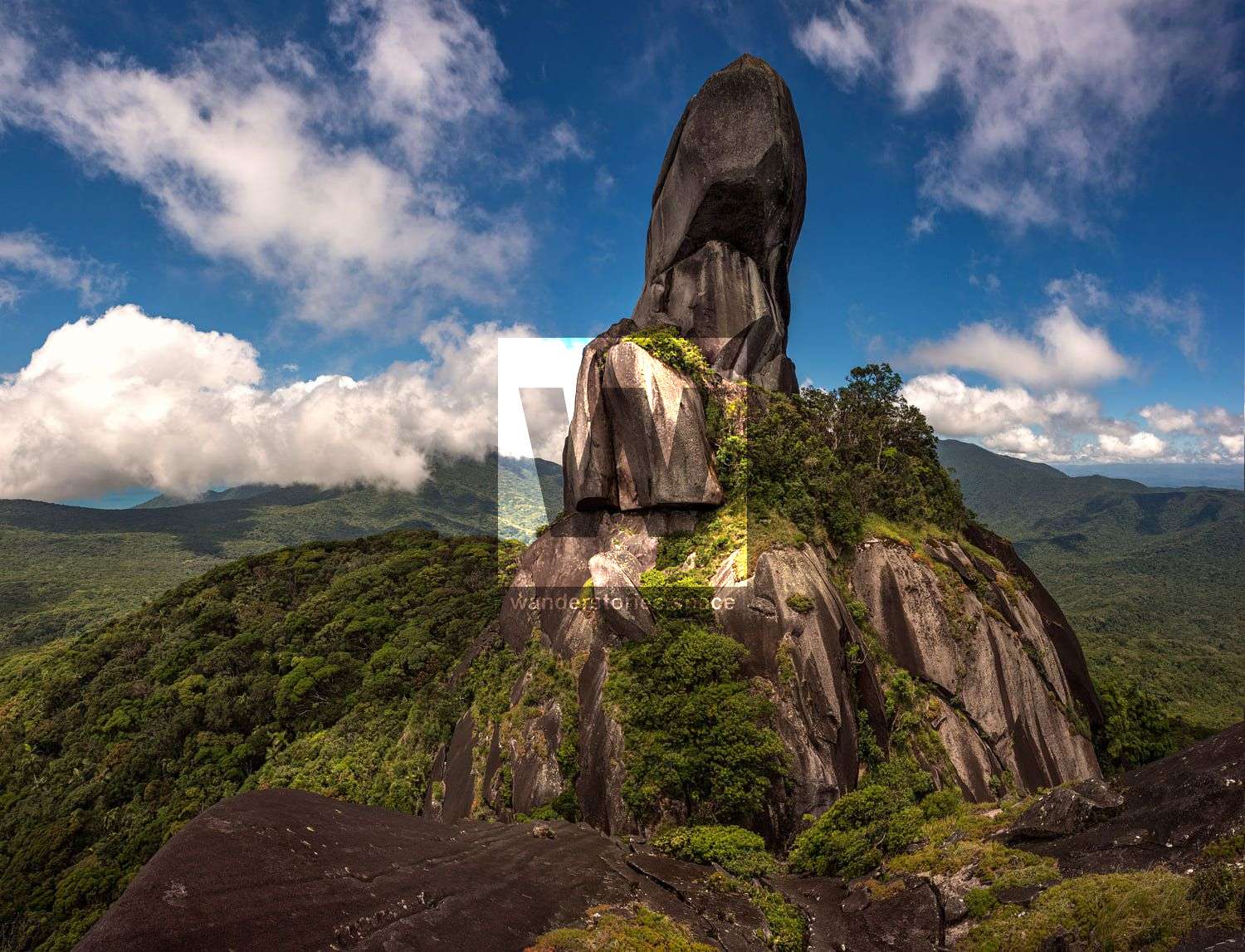
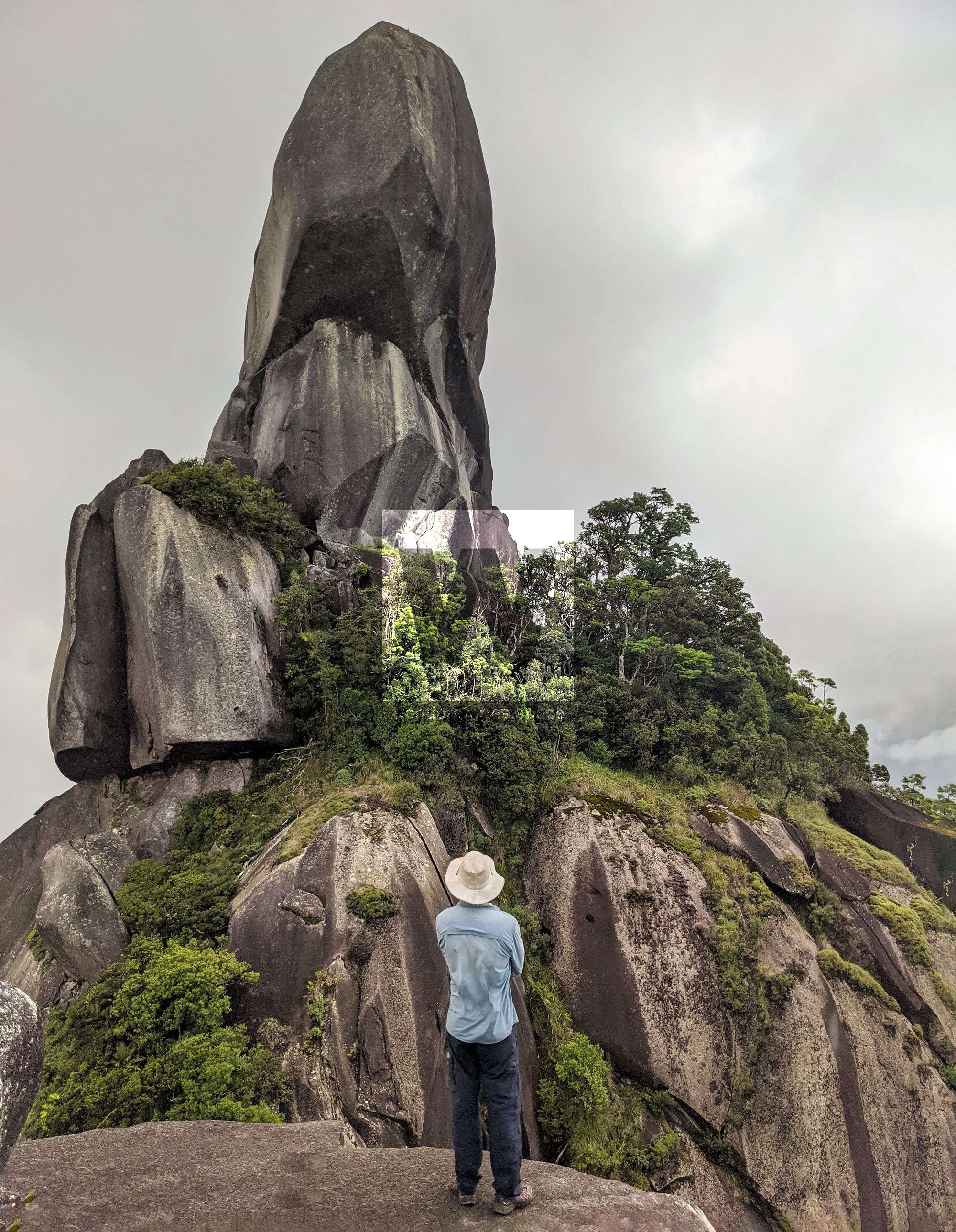
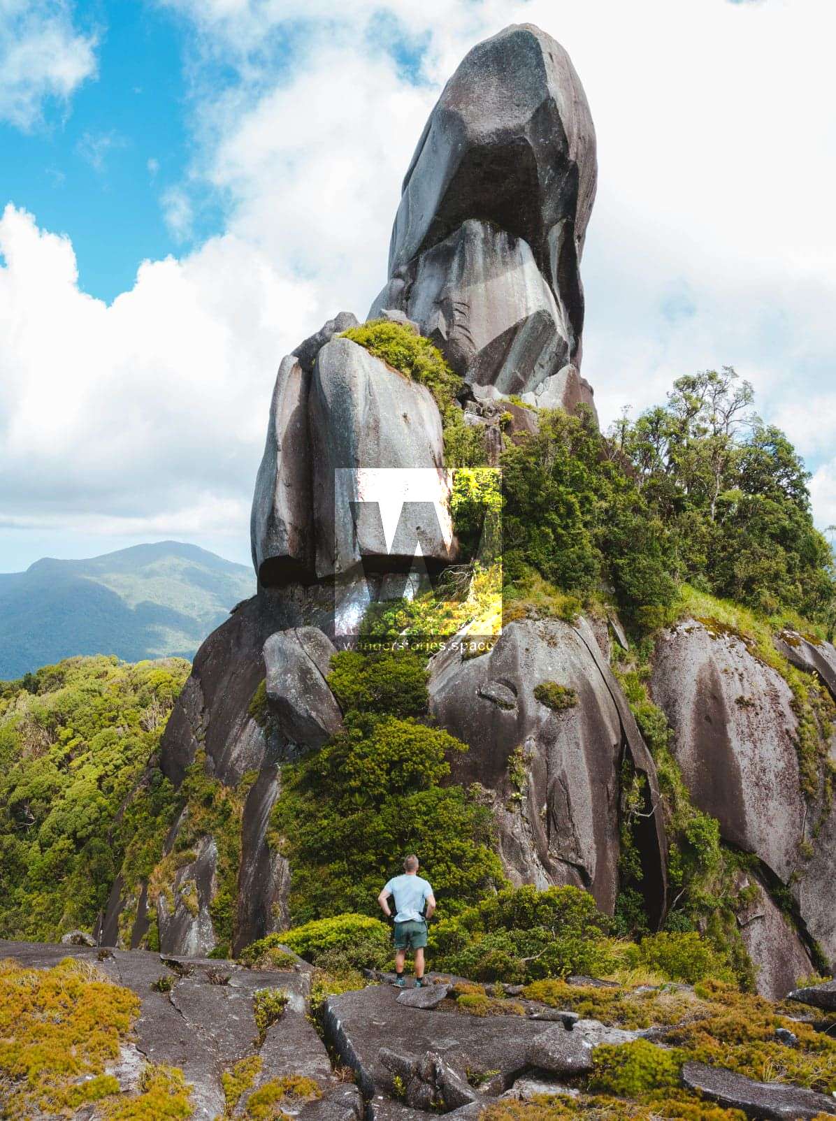
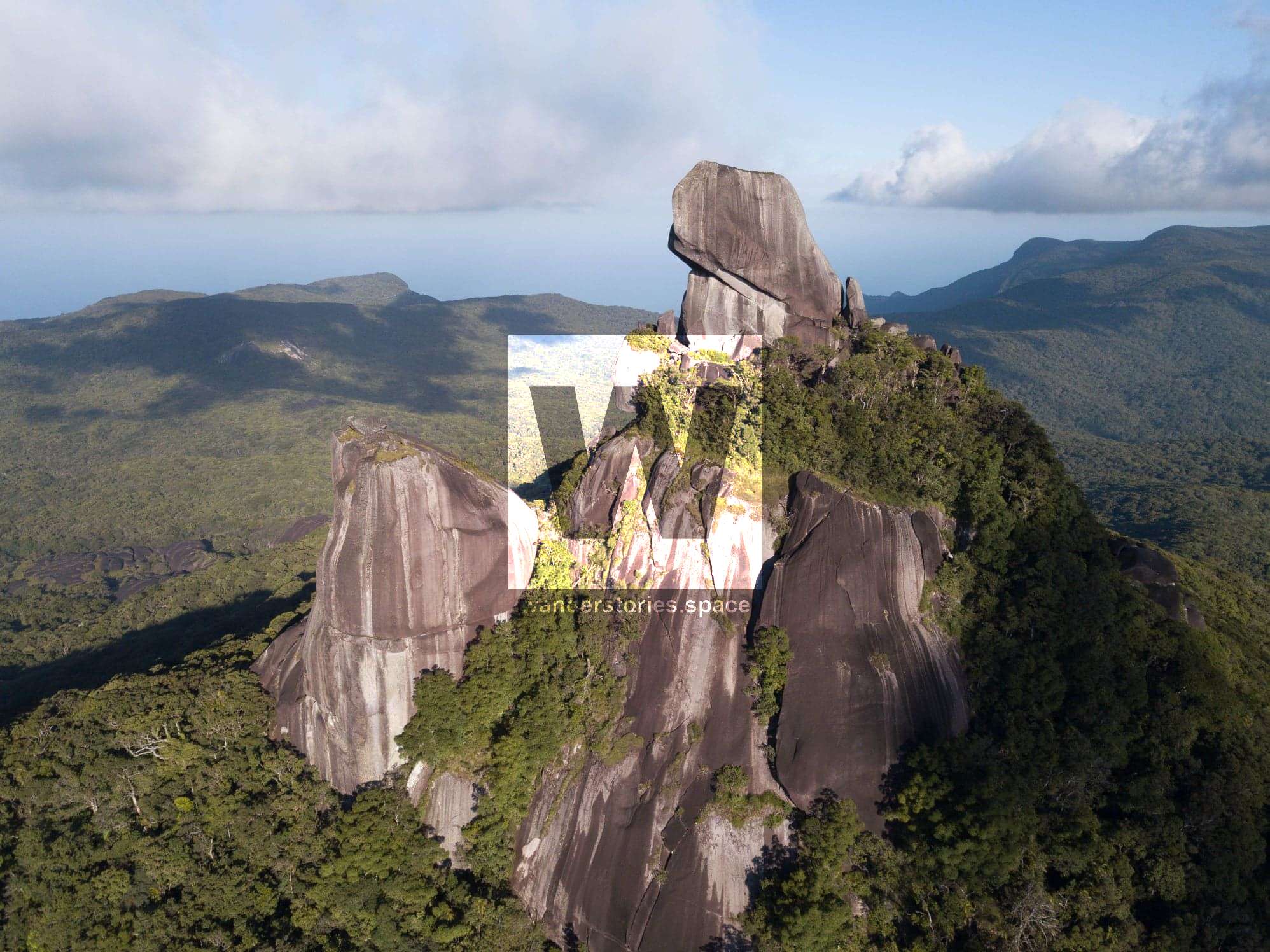
Mount Pieter Botte; Photos by Reuben Nutt, Shirley Casper, and Jodie Rummer
Top Tips
What you bring will depend on how long you plan to stay along your journey and your preferred method for camping and sleeping. Given that there are water sources (see above), it is only necessary to bring enough water for the hike in to the first water source. However, water purification tablets or systems are strongly advised. It is also recommended, as with any difficult trip, to bring a first aid kit and PLB. Most of the area has no mobile phone reception.
Below are some additional tips to consider:
- Bring secateurs to help keep the trail open (don't do this within National Park).
- Do not light fires on river rocks. Not only do they explode, spraying embers and coals, but they also permanently change the rock, and others will see the scars. It also contravenes the law under the Nature Conservation Act.
- Good navigation skills and fitness is required. Recommended for experienced bushwalkers.
- A remote bush camping permit is required to camp in this area.
- Pick up all your rubbish and take it back with you. Do not bury it or burn it.
- Avoid the wet season, as the rocks, moss, and roots become slippery once wet, and there are some very technical sections along this trail.
- There are plenty of leeches after rain. There is really nothing you can do to avoid them, unfortunately.
- Pee and poo downstream and at least 100 metres away from the creek. Bury your human waste at least 10-15 centimetres deep.
- Hang your food bag in the tree, as rats are quite prevalent and will get into anything and everything, even toothpaste. Do not leave your rubbish bag on the ground either, as the rats will get into that as well.
- After your trip, you can enjoy a shower at PKs Jungle Village for $3 per person. Pay at reception and stay for a beer afterwards.
As getting outdoors and into nature has become increasingly popular, we will need to be more diligent in practising our Leave No Trace philosophy. Please take everything back home with you. If you find rubbish, please pick it up and hike it out. Let's take only photos (and other people's rubbish) and leave only footprints... and, of course, a cleaner environment.
This article, and all other articles, are for entertainment purposes only and are not to be used as a guide. Please see our Disclaimer for more information.


