How to get to Raspberry Falls
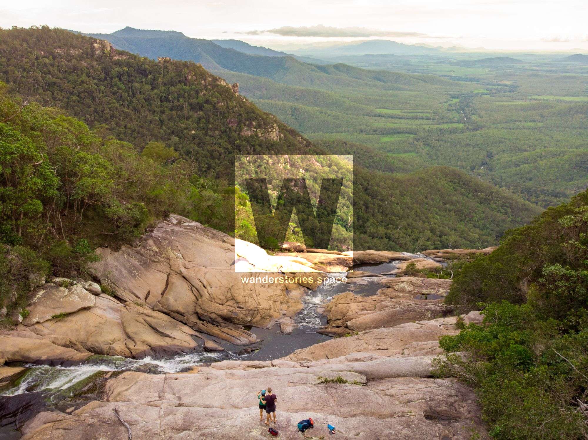
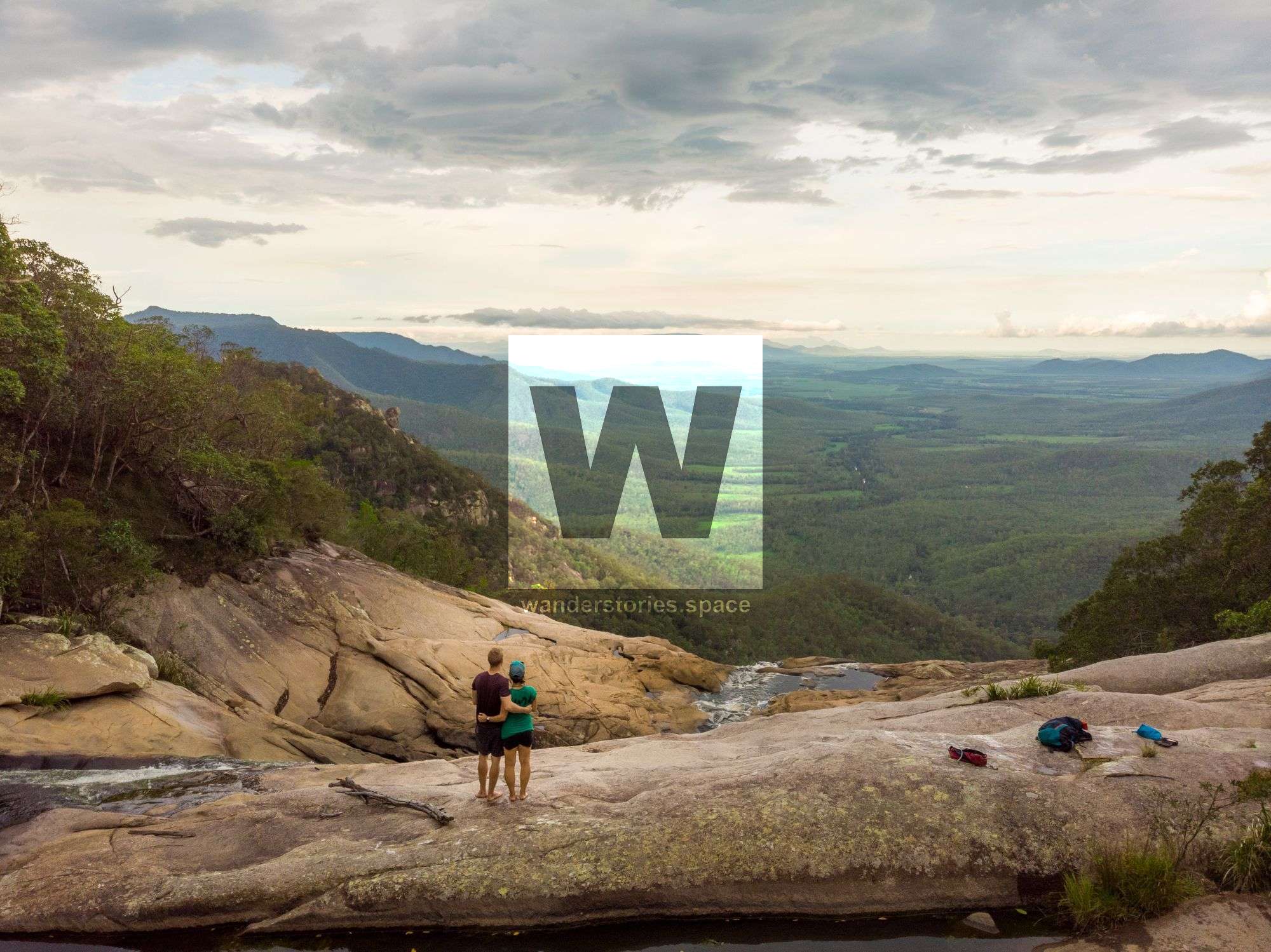
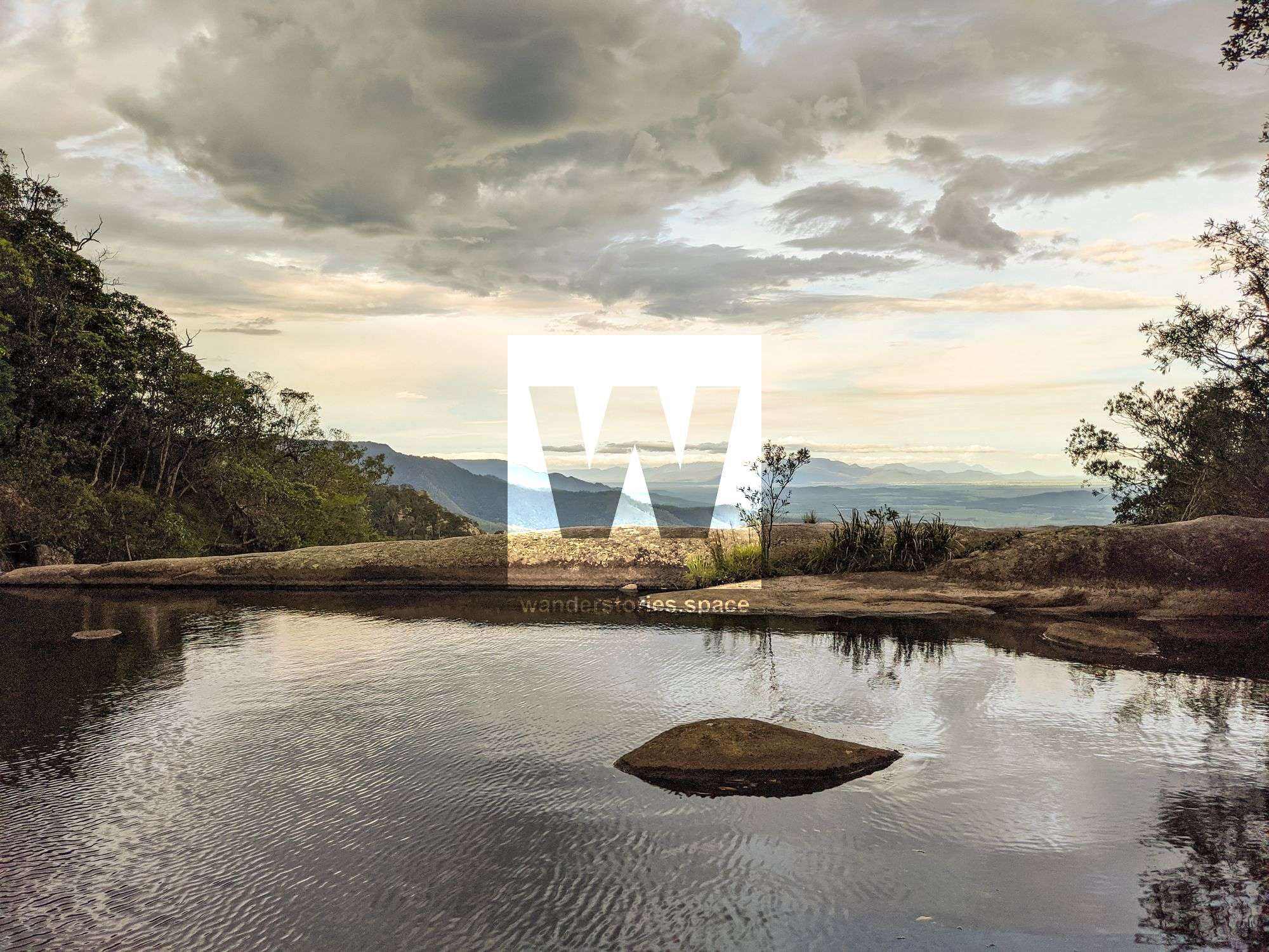
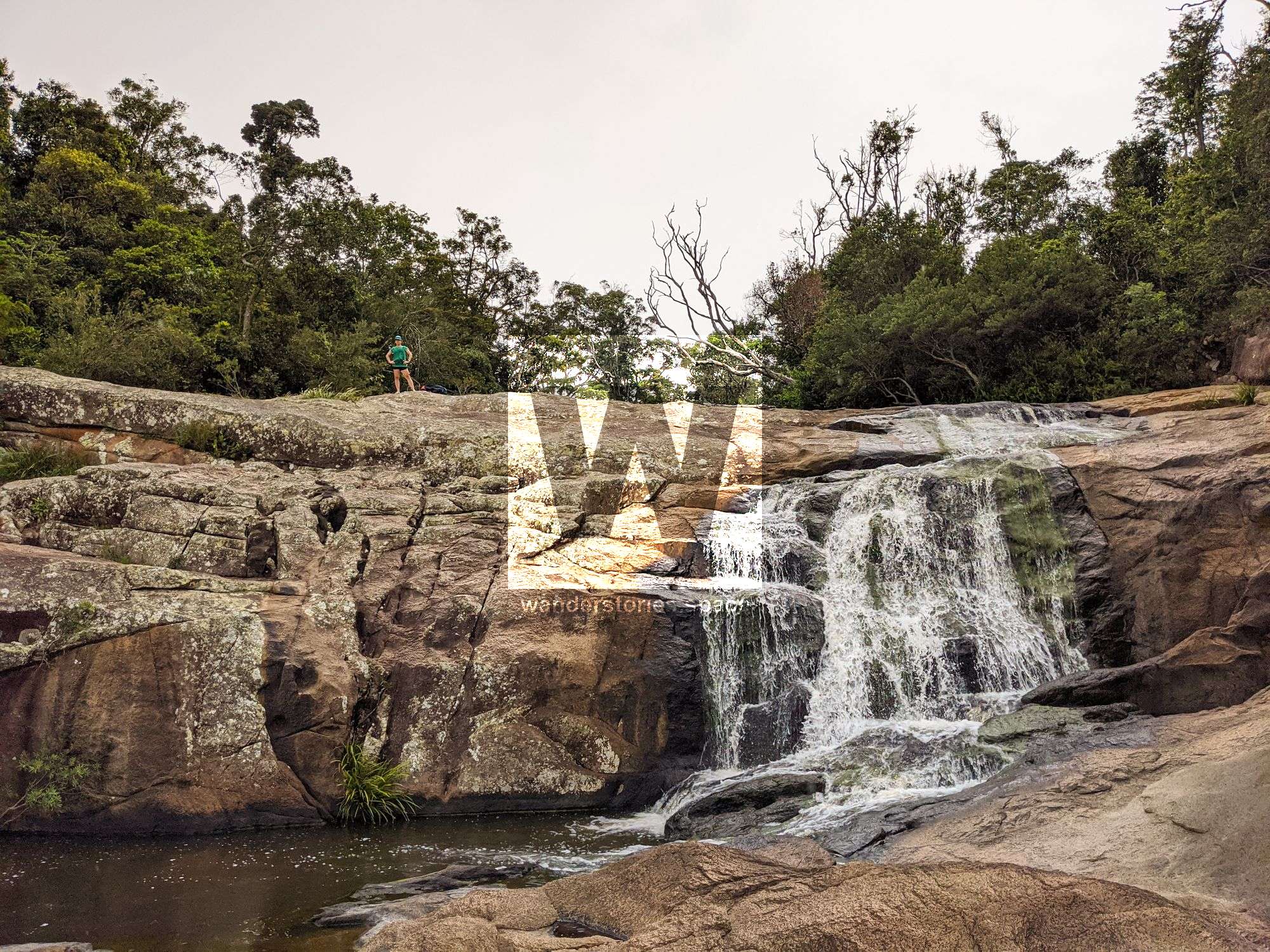
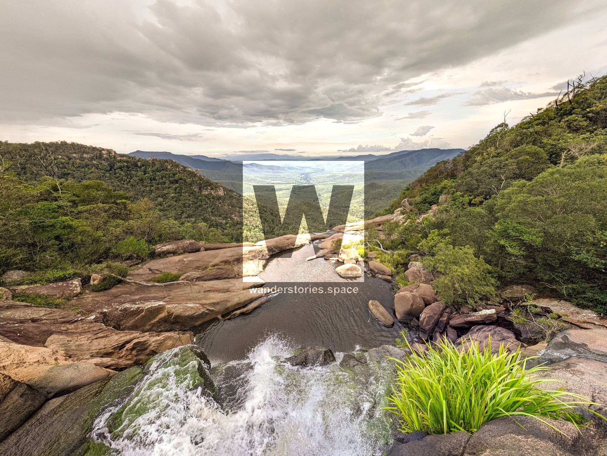
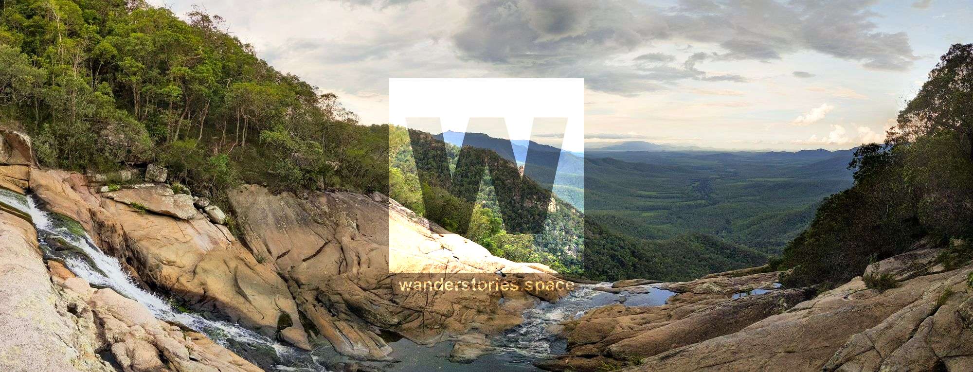
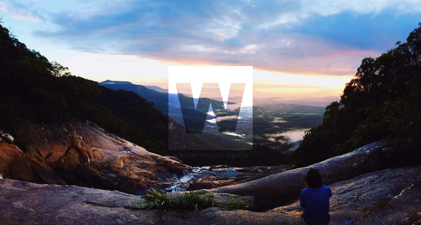
Raspberry Falls, also referred to as Raspberry Creek Falls, is a gorgeous, terraced waterfall system that drops eastward off from the Sea View Range. The road to the trail head is easily accessed from Ingham.


Location - Girringun National Park, North Queensland, Australia
Difficulty - Grade 4, not a well-formed track
Distance - 5 km return
Elevation change - 90 metres
Time - Allow 1-3 hours return
Raspberry Falls, also referred to as Raspberry Creek Falls, is a gorgeous, terraced waterfall system that drops eastward off from the Sea View Range. The views are quite remarkable as well. This is one of the best short waterfall walks in the region. The road to the trail head is easily accessed from Ingham.
If the plans for constructing a trail from Paluma to Wallaman Falls commence, Raspberry Falls will be the main attraction associated with this multi-day hike and bike path.
How to get there
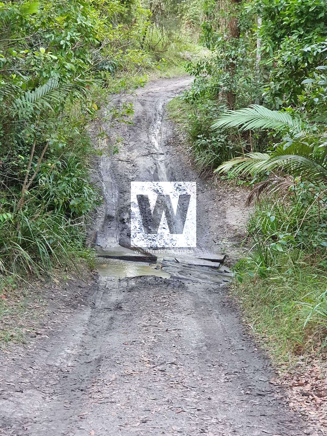
Drive toward Ingham and take the Stone River Road toward Mount Fox. Then, continue on Oak Hills Road to the Lannercost State Forest. Then, turn right onto Western Raspberry Break, which is a dirt road at -18.78917,145.83174.
A high clearance vehicle is recommended for the short drive into the national park. There is a steep gully to cross but you can park and start walking from here.
Take the right fork (-18.78533,145.83766) and continue approximately 850 metres to the trailhead.
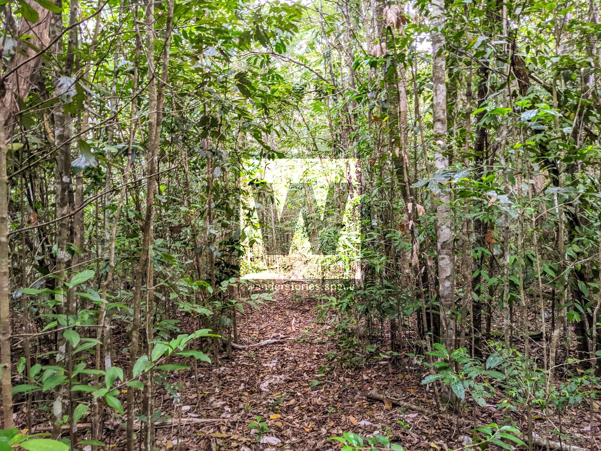
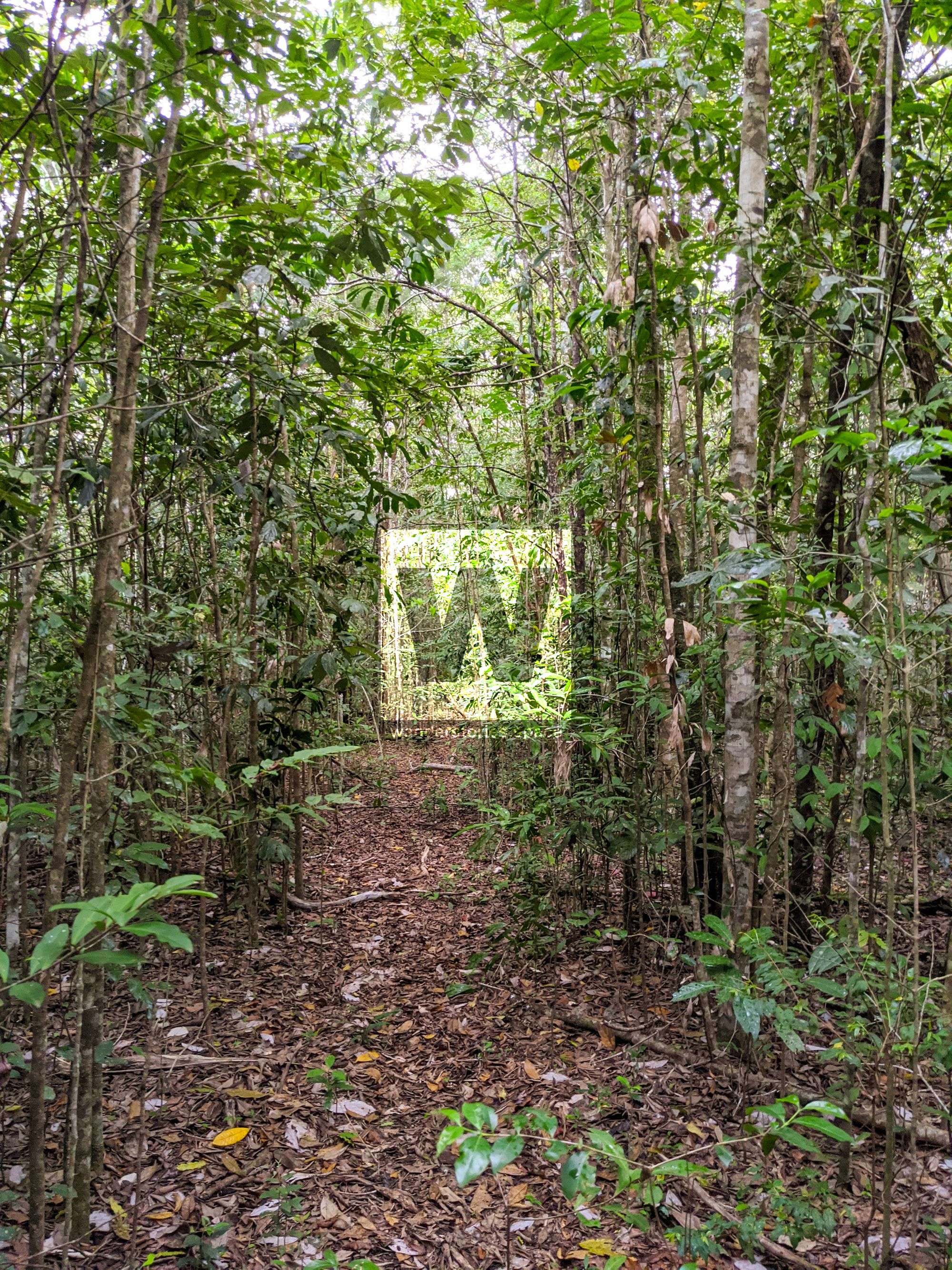
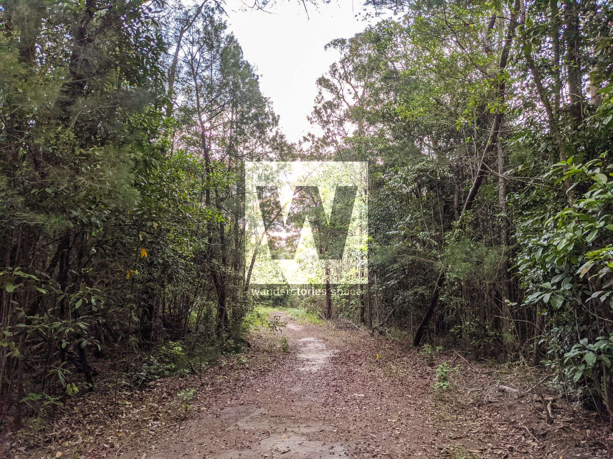
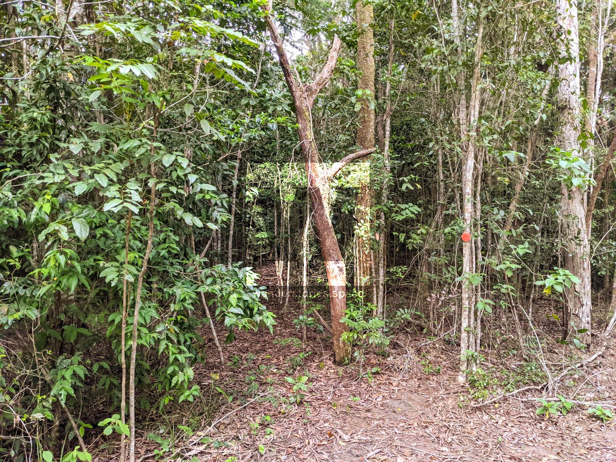
The Trail
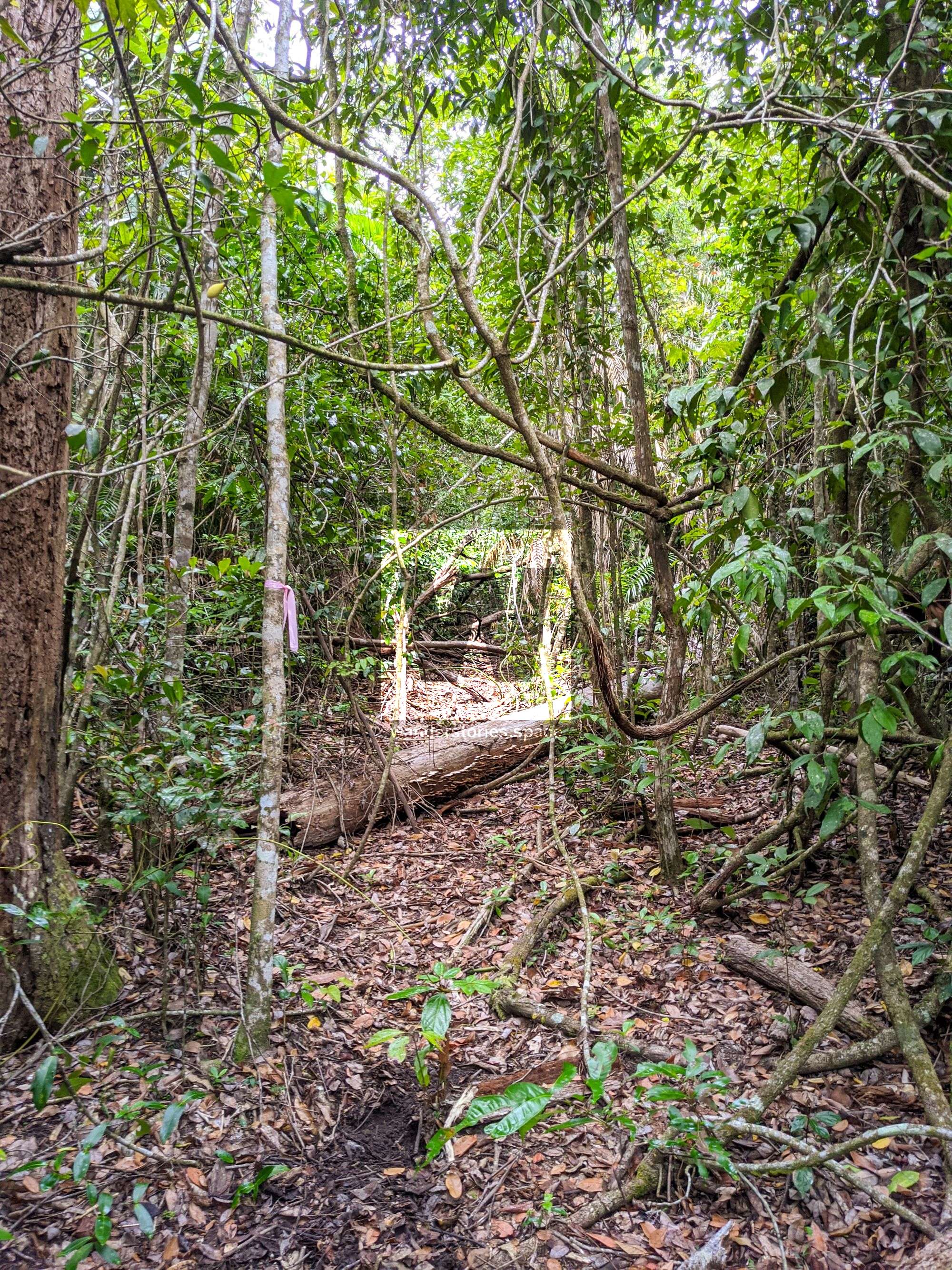
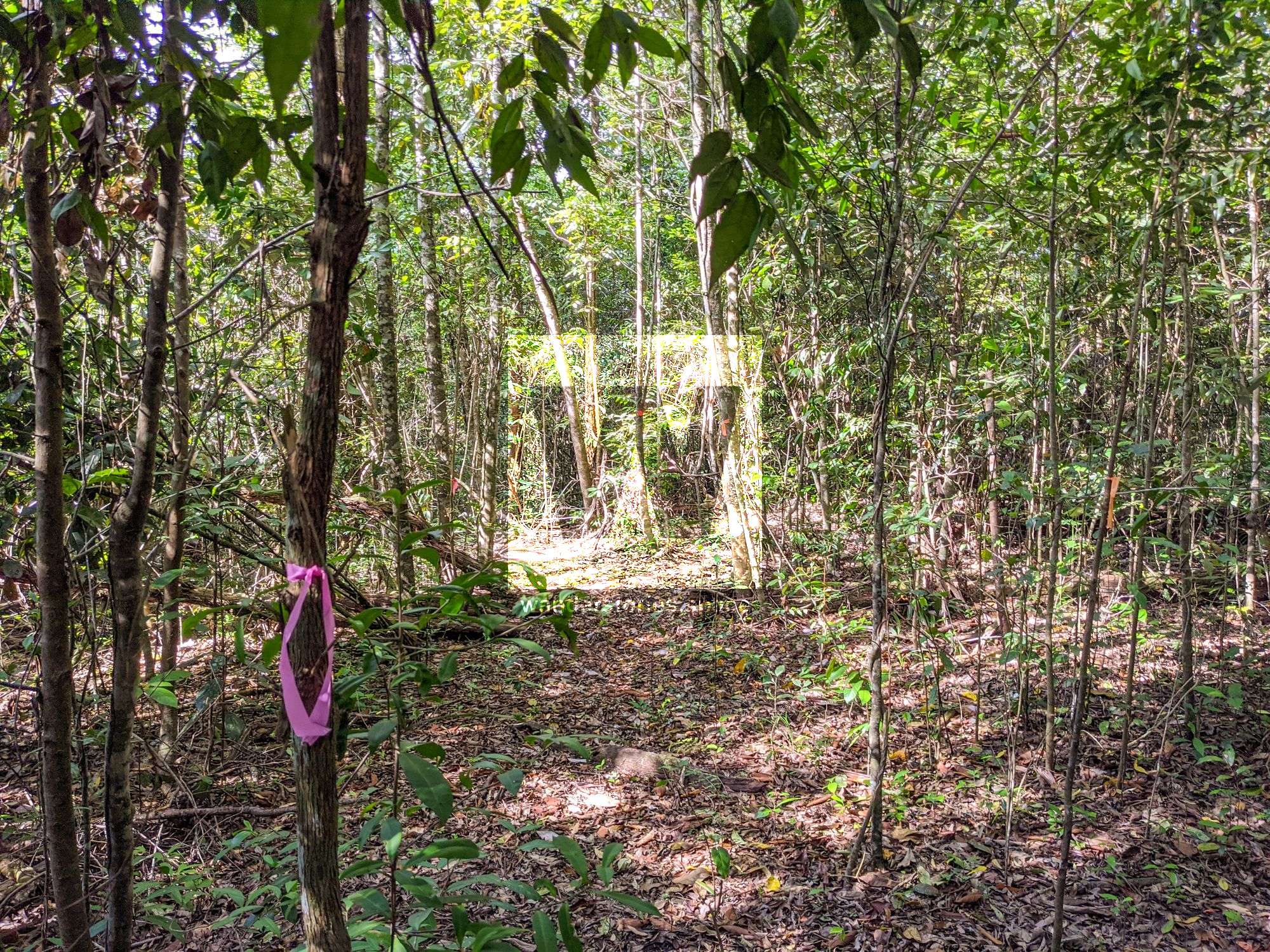
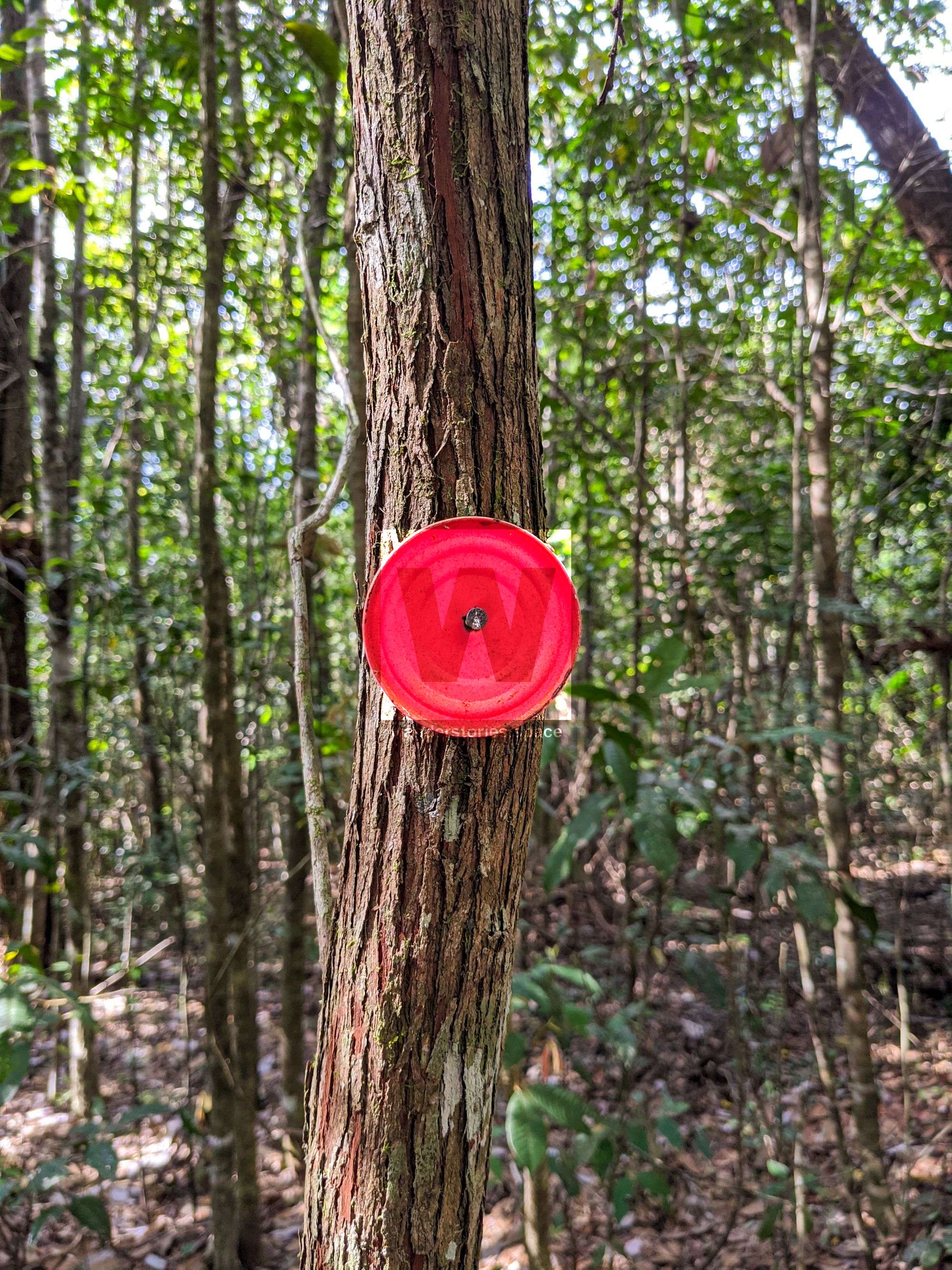
It's on foot from here. A red spray-painted can lid marks the trailhead (-18.78659,145.84459). Then, the track follows an old logging road before descending straight toward the creek. After the red spray-painted can lids, pink and orange tape mark the rest of the track to the creek.
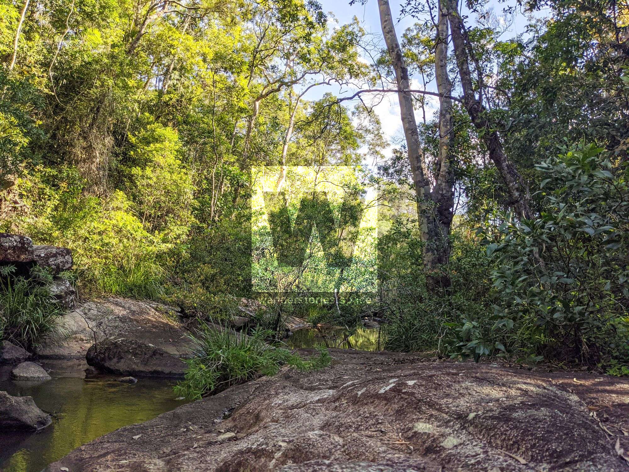
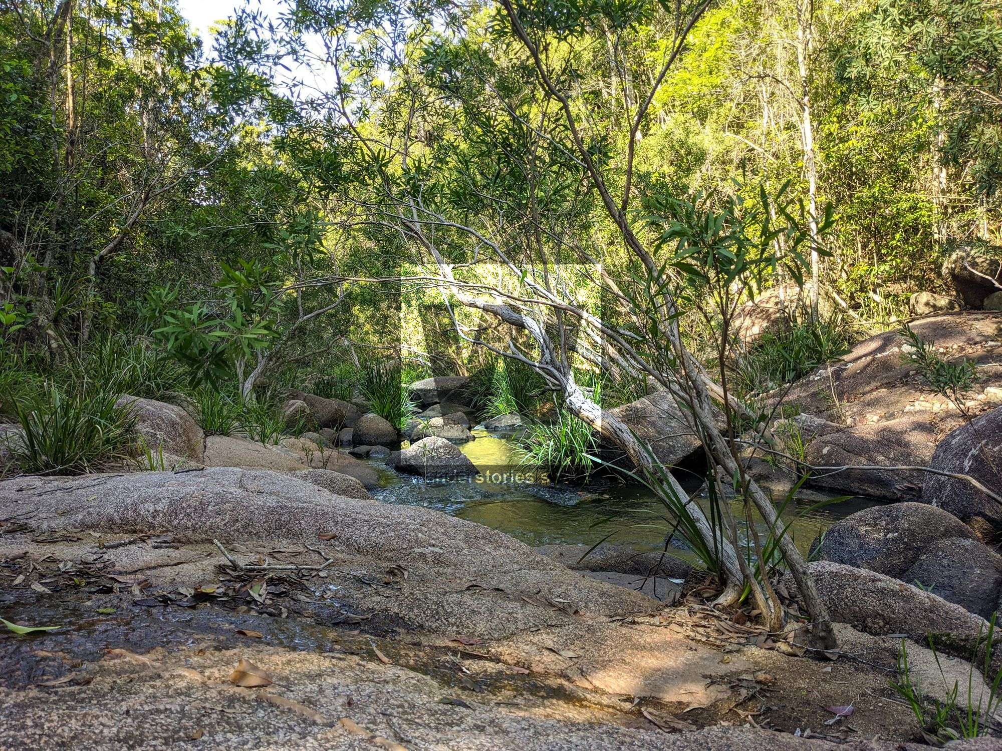
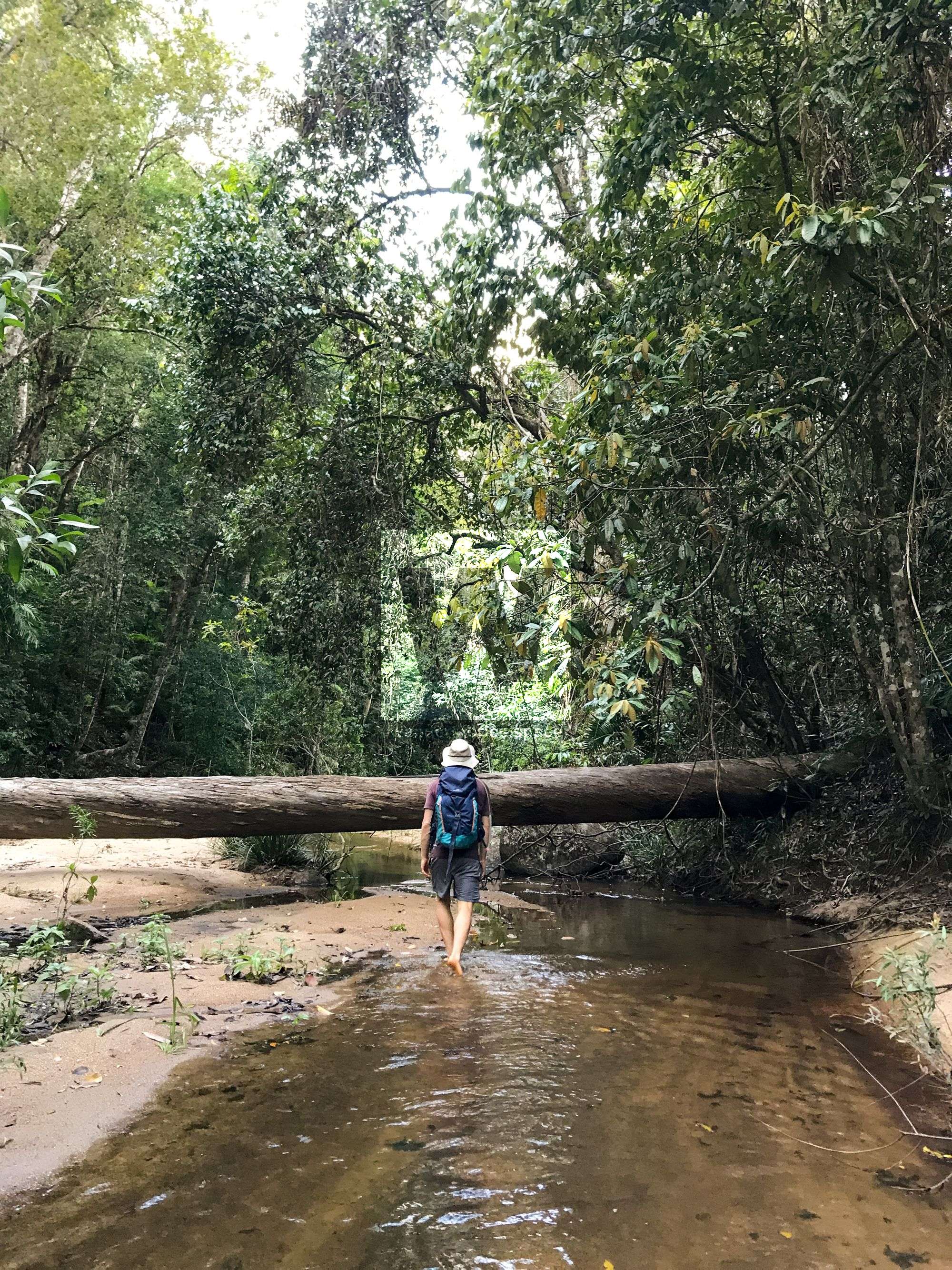
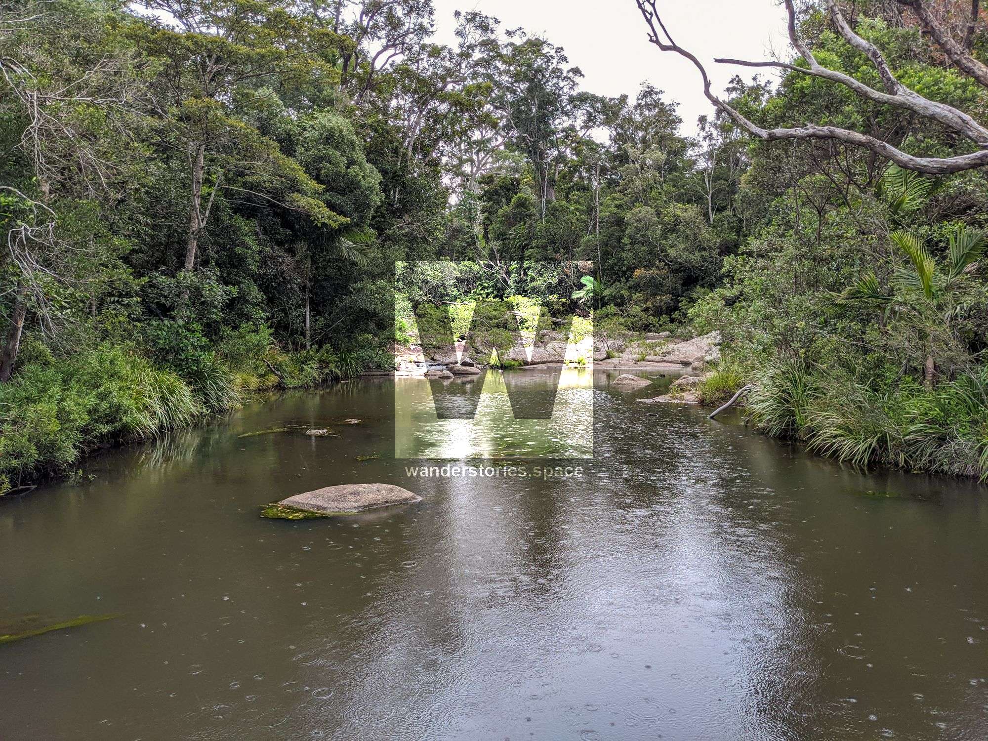
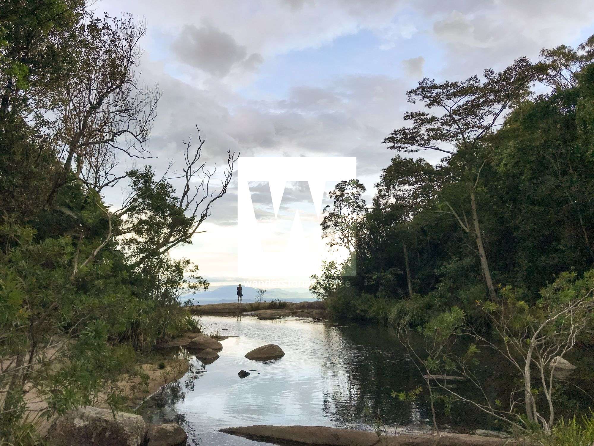
Once you reach the creek, there are no more markers. Follow the creek downstream (your left as you enter the creek) over rocks, sand, and through several deep pools. In most cases, it is just easier to swim through them than walking around them or rock-hopping. So, bring a dry bag for electronics.
There has been a track cut that goes along side the creek to the top of the falls.
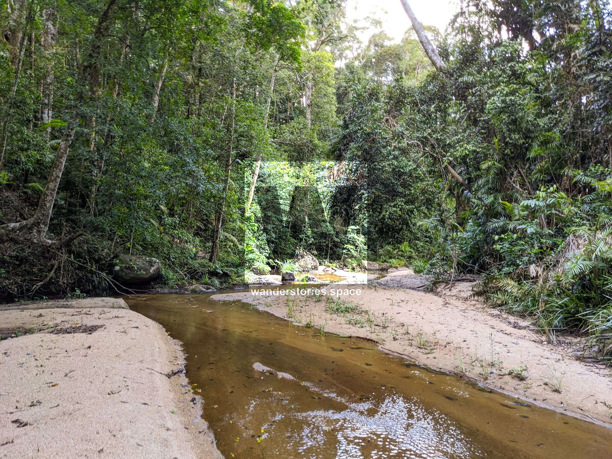
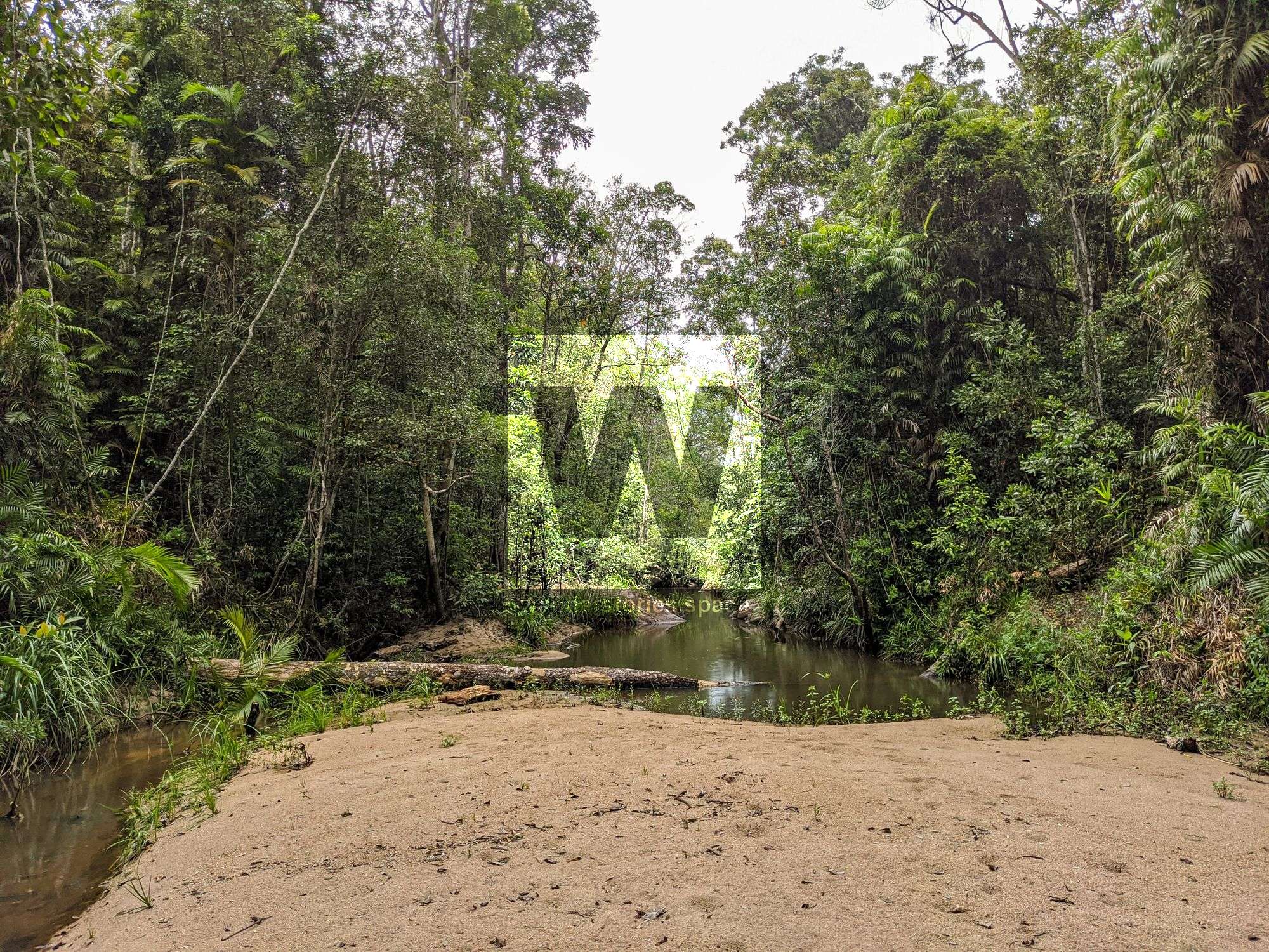
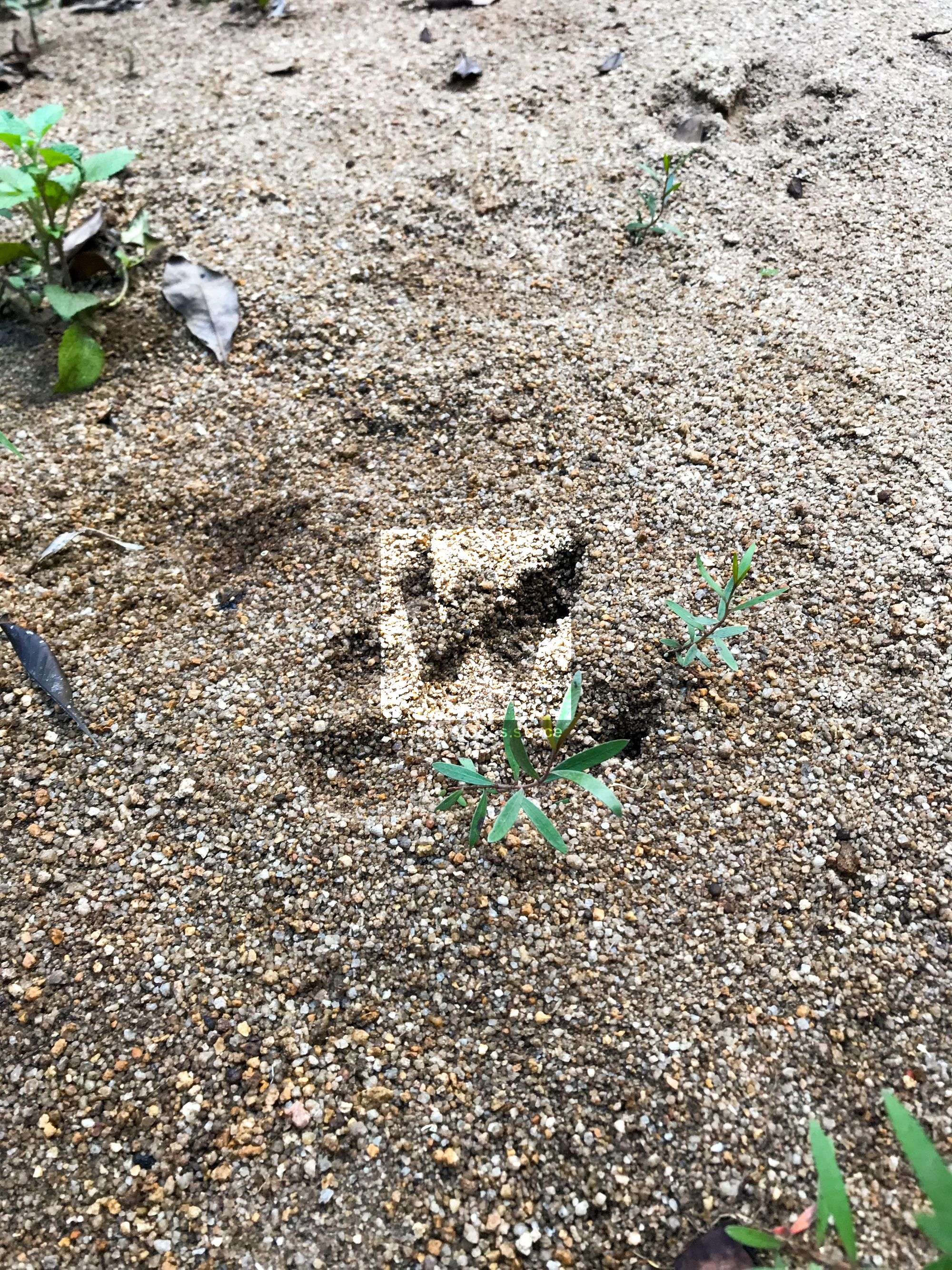
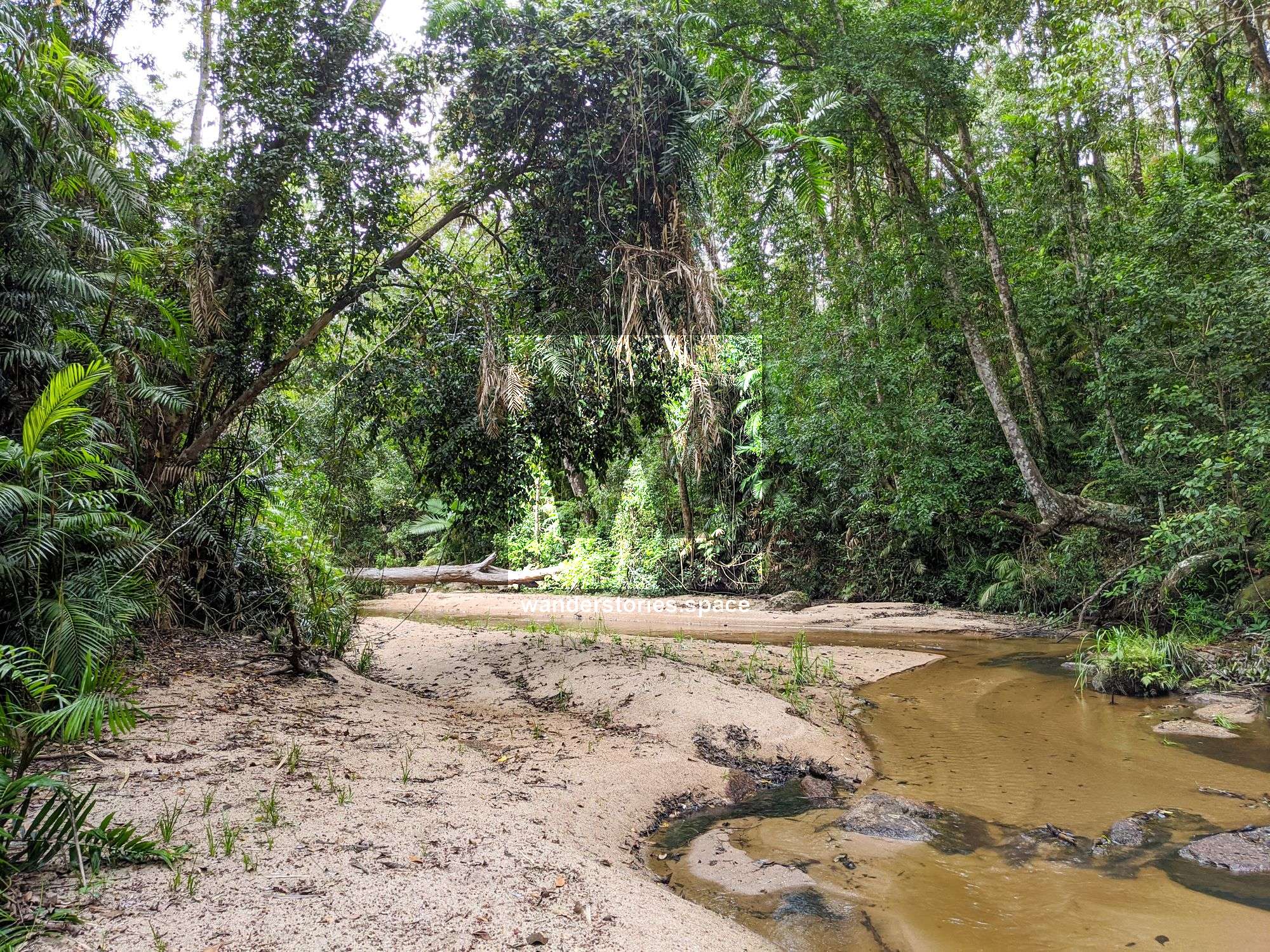
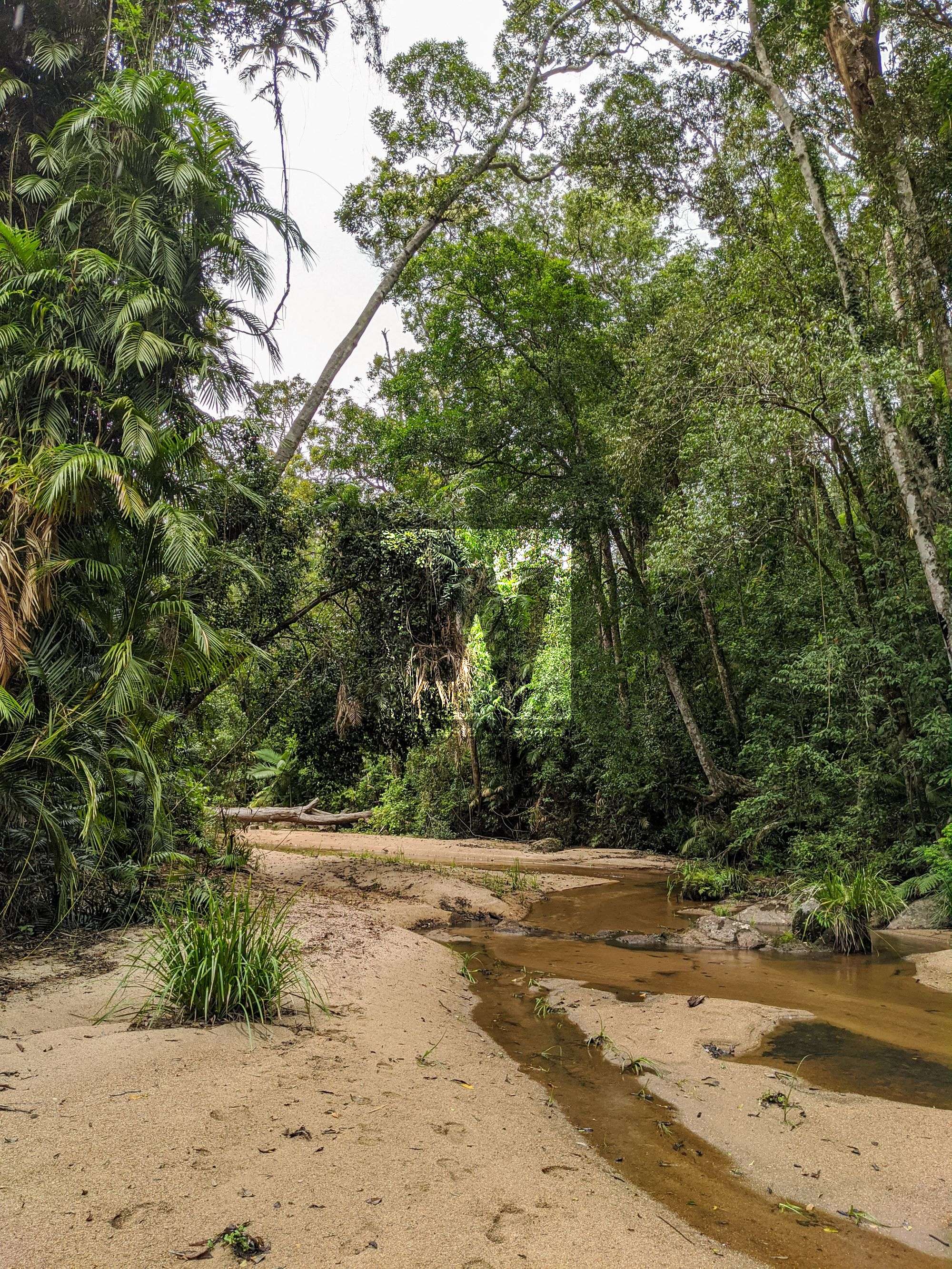
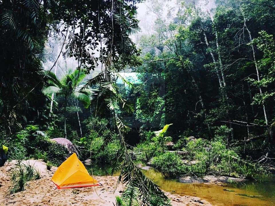
The sandy rainforest creek beds with some rocks here and there make for a beautiful hike along the creek. You may even see cassowary footprints in the sand.


What to bring
- Dry bag
- Food, snacks, and water
- Gaiters or long pants and a long-sleeved shirt
- Secateurs to help keep the trail open (don't do this within National Park)
- Swimmers
- A change of clothes for the car

Interactive map
This article, and all other articles, are for entertainment purposes only and are not to be used as a guide. Please see our Disclaimer for more information.