Double Creek and Sharp Elliott
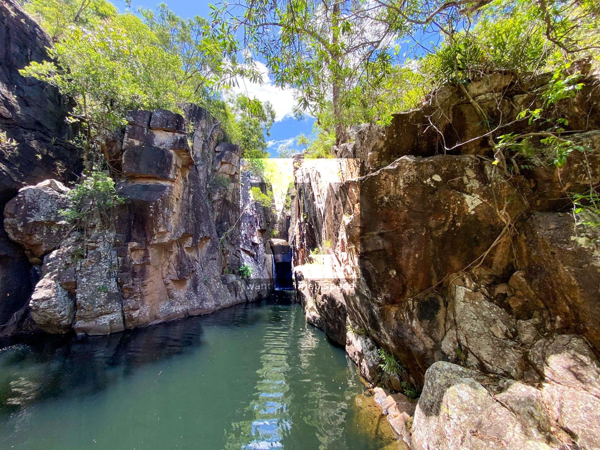
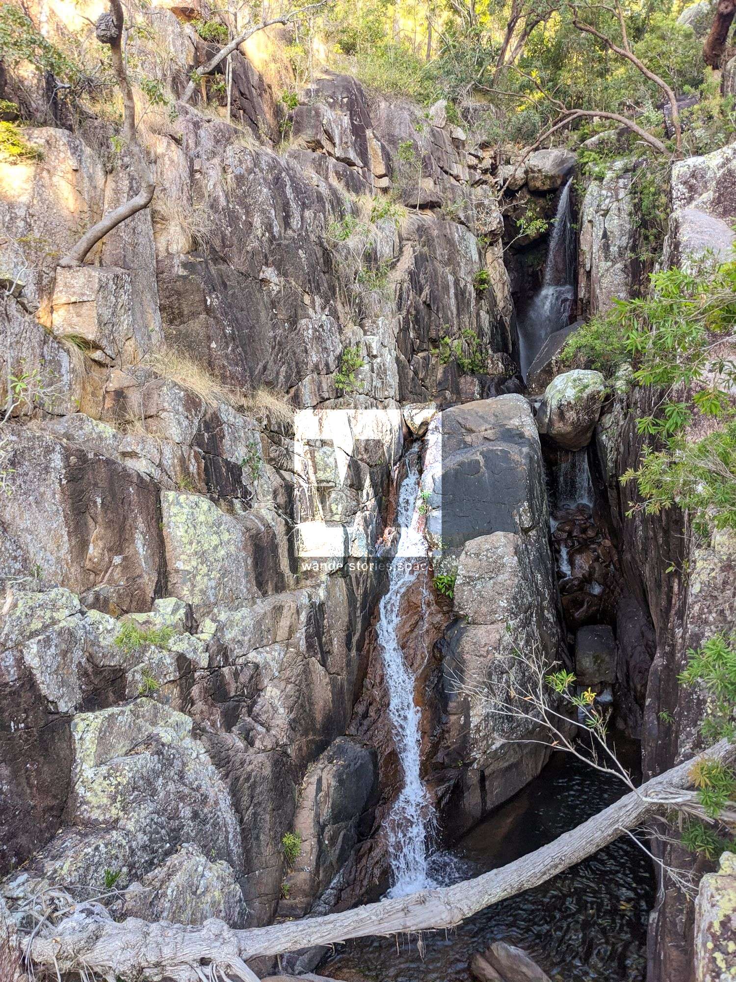
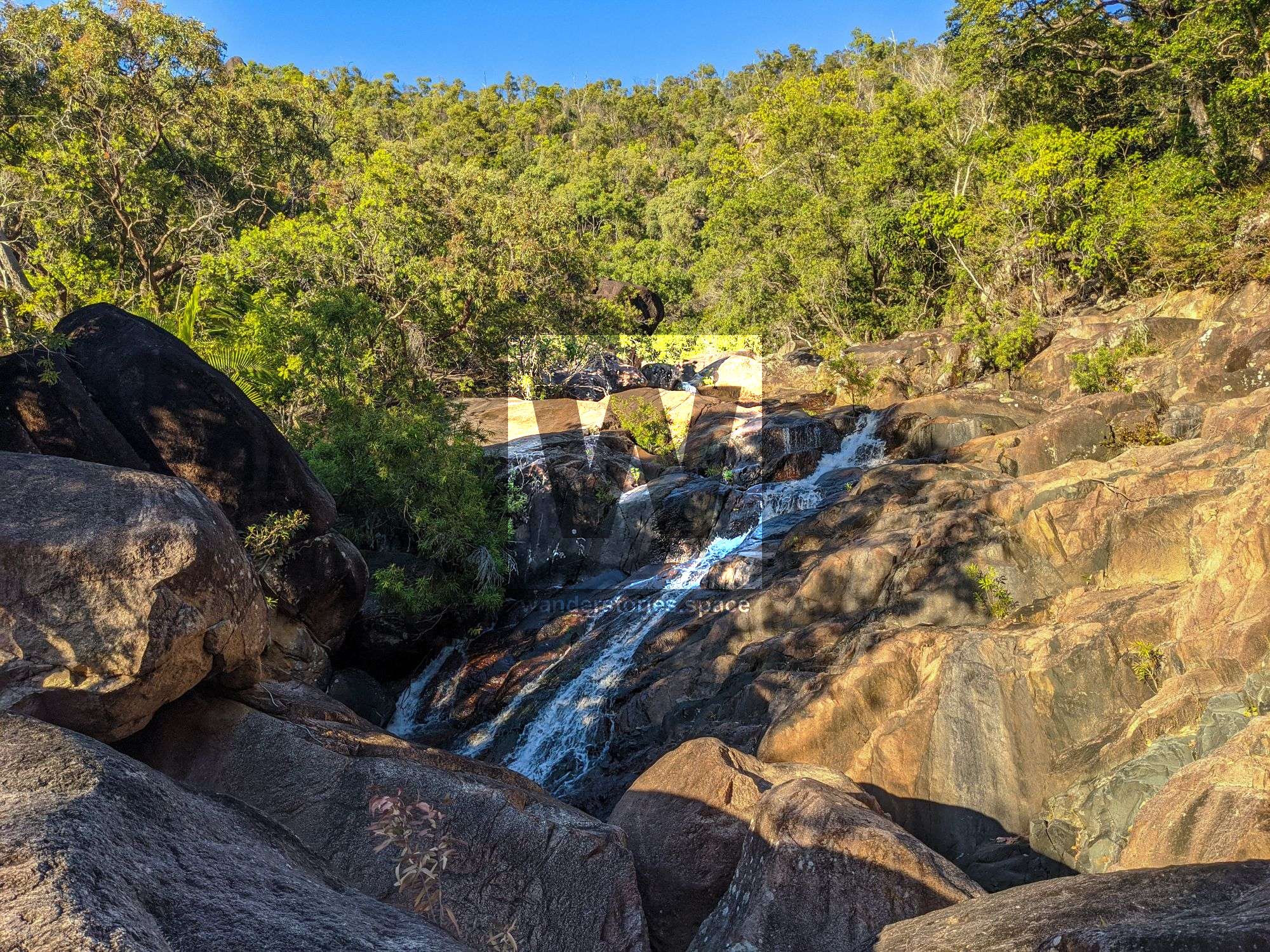
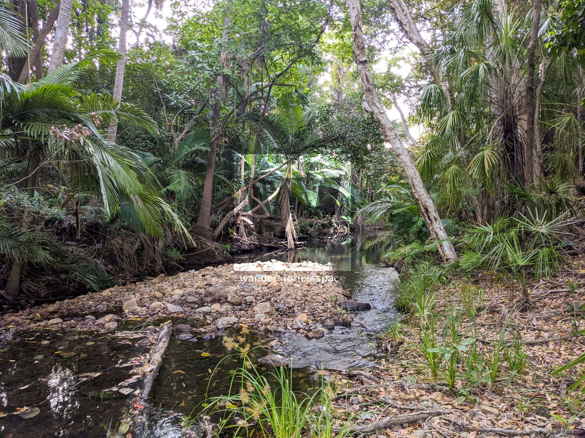
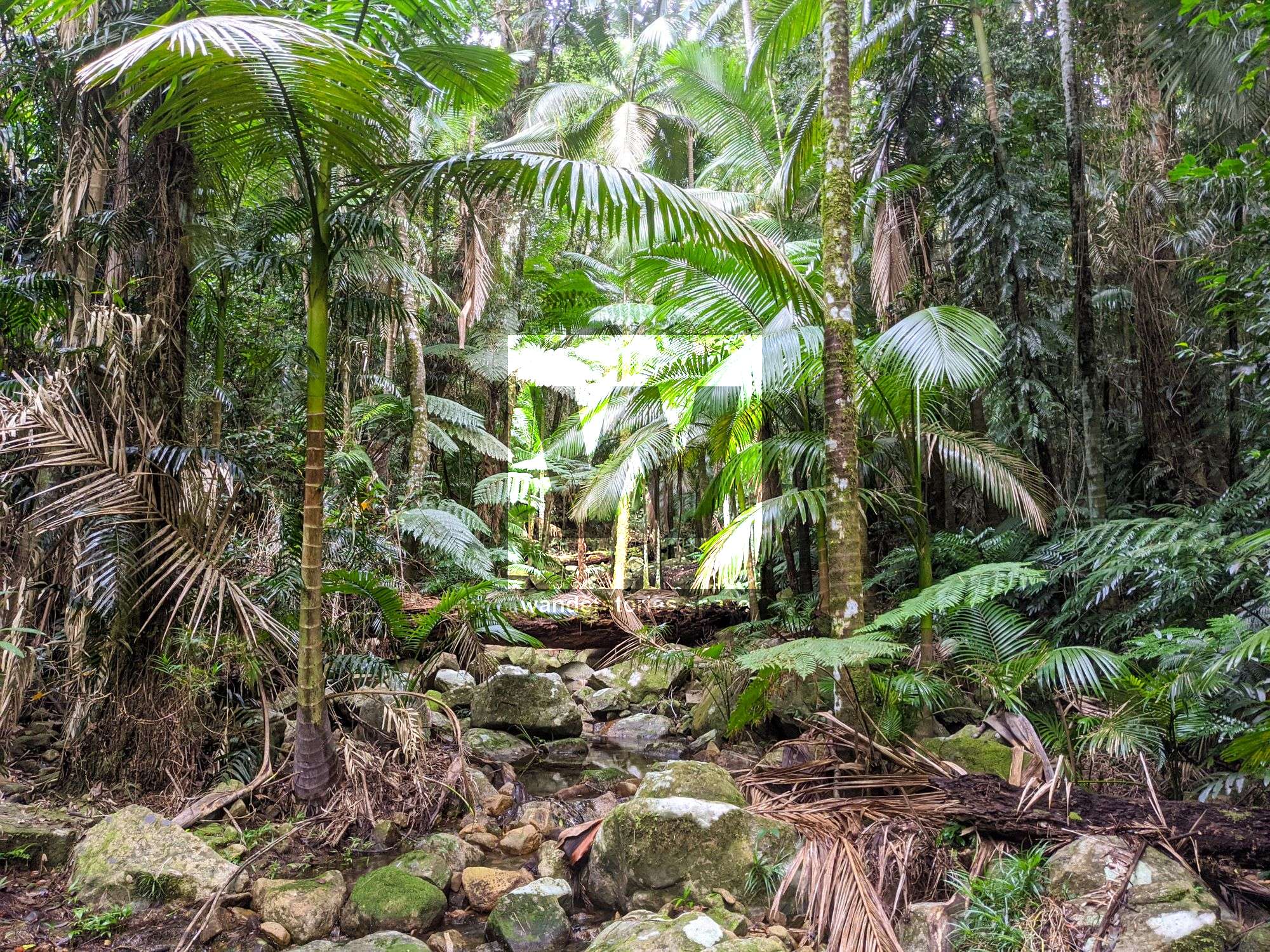
Located in the Mount Surround area (near Giru), it's yet another beautiful spot inside Cape Bowling Green Bay National Park. Just next to the highway, you'll find Double Creek with fresh water running straight down from the Elliot Massif, this is a perfect place for a summer's weekend day trip.


Location - Bowling Green Bay National Park, Queensland, Australia
Grade - 5, difficult, recommended for experienced bushwalkers only
Distance - ~7 km return, depending on route
Time - Allow 4-6 hours return
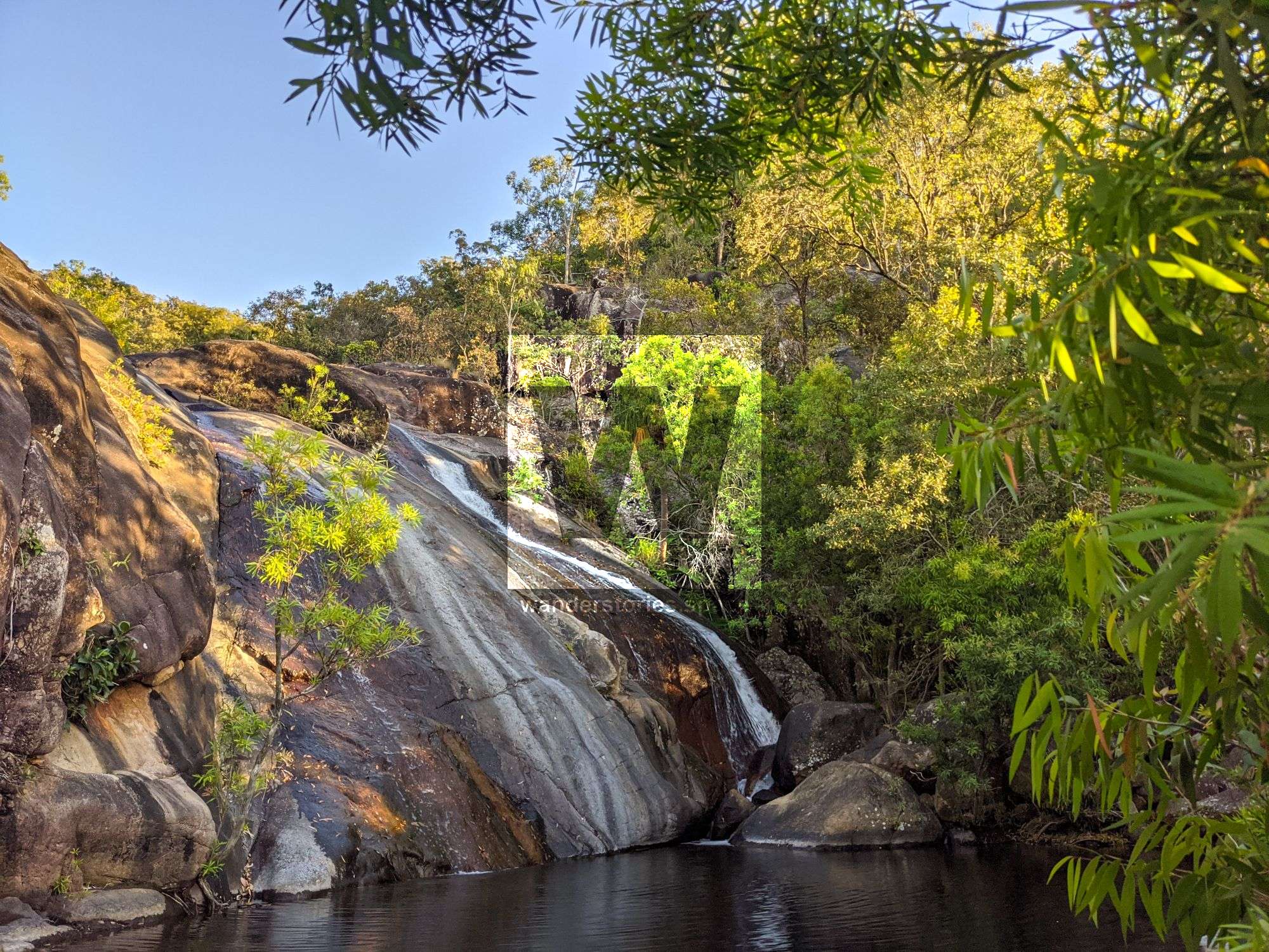
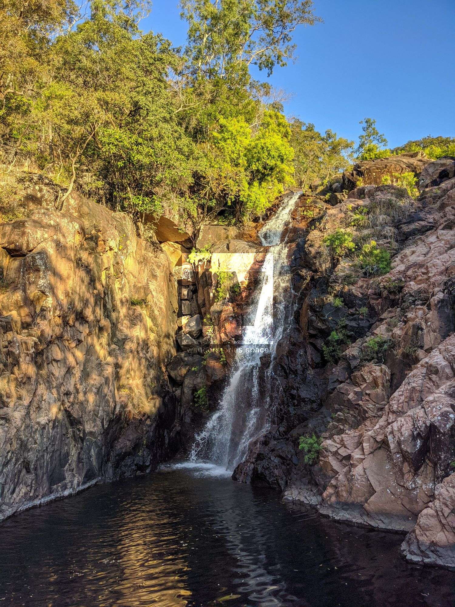
Located in the Mount Surround area (near Giru), this is yet another beautiful spot inside Cape Bowling Green Bay National Park. Just off the highway, you'll find Double Creek with fresh water running straight down from the Elliot Massif; this is a perfect place for a weekend trip, especially in the summer. Enjoy Pangola Falls, Double Creek Falls, and Double Gorge.
Pangola Park
Once was a popular camping retreat known as Pangola Park by locals, it was a caravan park that allowed public access to that swimming hole and the national park it bordered. Apparently, crippling insurance costs forced Pangola Park to close in the early 1990s.
Public access to Sharp Elliot, Pangola Falls, Double Creek Falls, and Double Gorge is via the national park, such as the Alligator Creek Falls area. From Alligator Creek car park, it's an 18-kilometre straight line distance away. Before accessing Double Creek from Woodstock Giru Road (outside of the main roads corridor), please note that private landholder permission is required. Trespassers who enter private property without permission may be prosecuted.
If you would like to do this walk, it is recommended to go with the Townsville Bushwalking Club, as they have access via a nearby private property. So, join them on a hike to explore these waterfalls.
Double Creek was a favourite with Townsville Bushwalking Club in the '80s and early '90s. The Club walked up the southern creek for a couple of hours and then crossed over the ridgeline to the northern creek (Double Creek), descending down the creek to finish at the swimming hole.
Double Creek swimming area
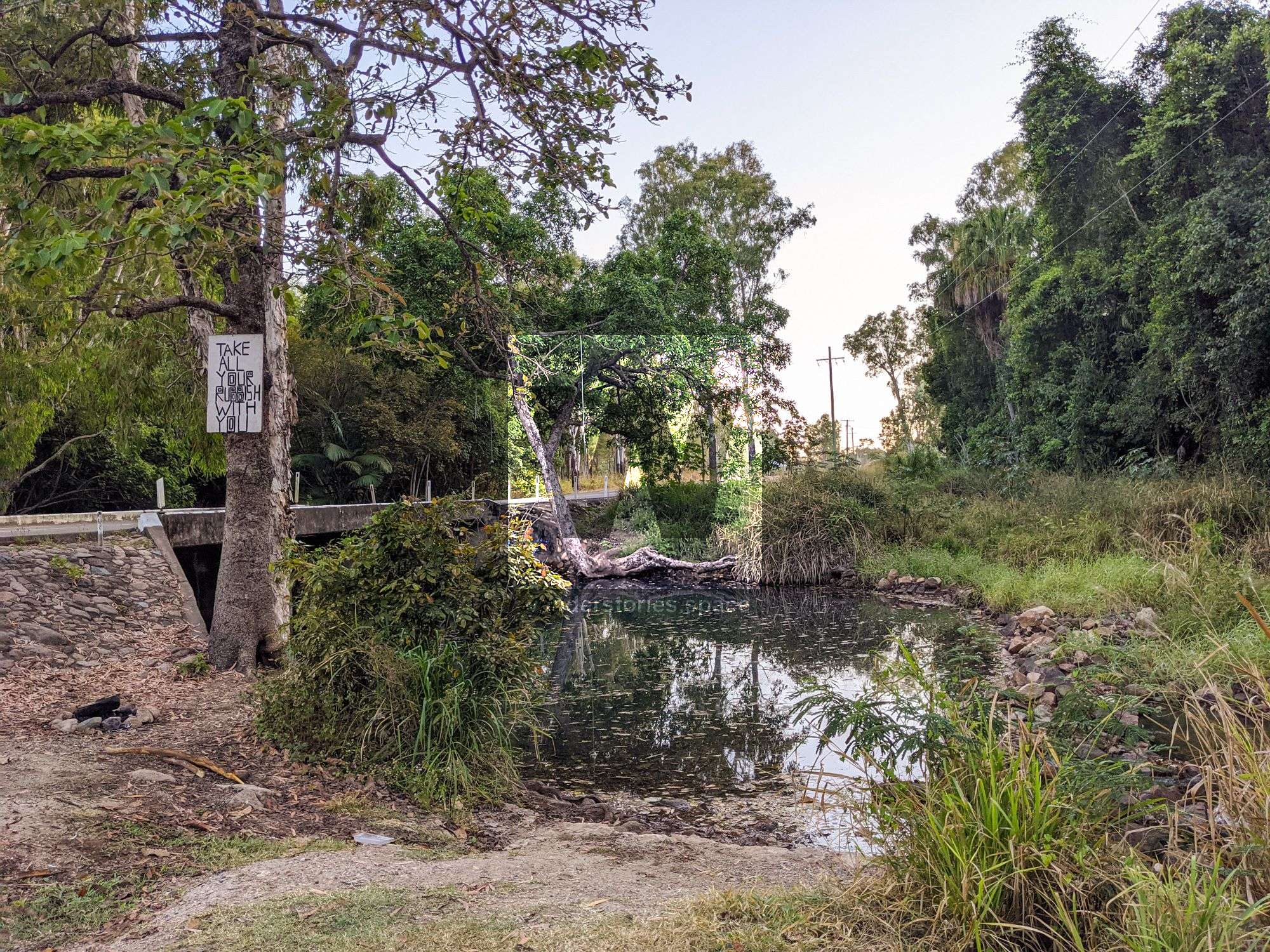
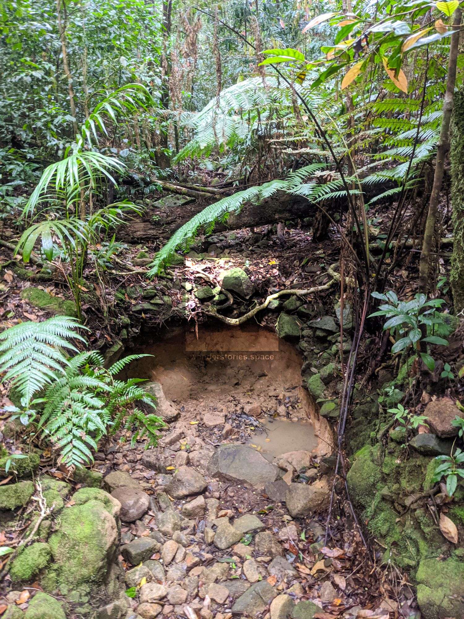
Look for the creek signage on the Woodstock-Giru highway. Double Creek waterhole is just on the downstream side of the road. It's still a nice area to swim. However, you must only swim within the highway corridor. Do not go within private property. Trespassers who enter private property without permission may be prosecuted. Also, remember to take your rubbish home with you!
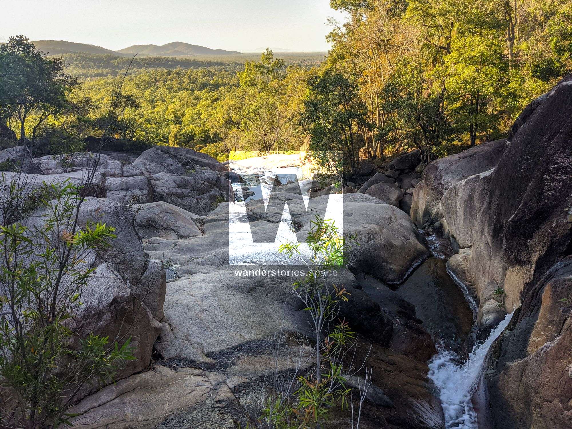
To access these falls from the Alligator Creek car park, follow one of the routes from the Mt Elliot article. This adventure is only recommended for experienced hikers. Booking a remote bush camping permit is recommended.
Sharp Elliot (1,183 m)
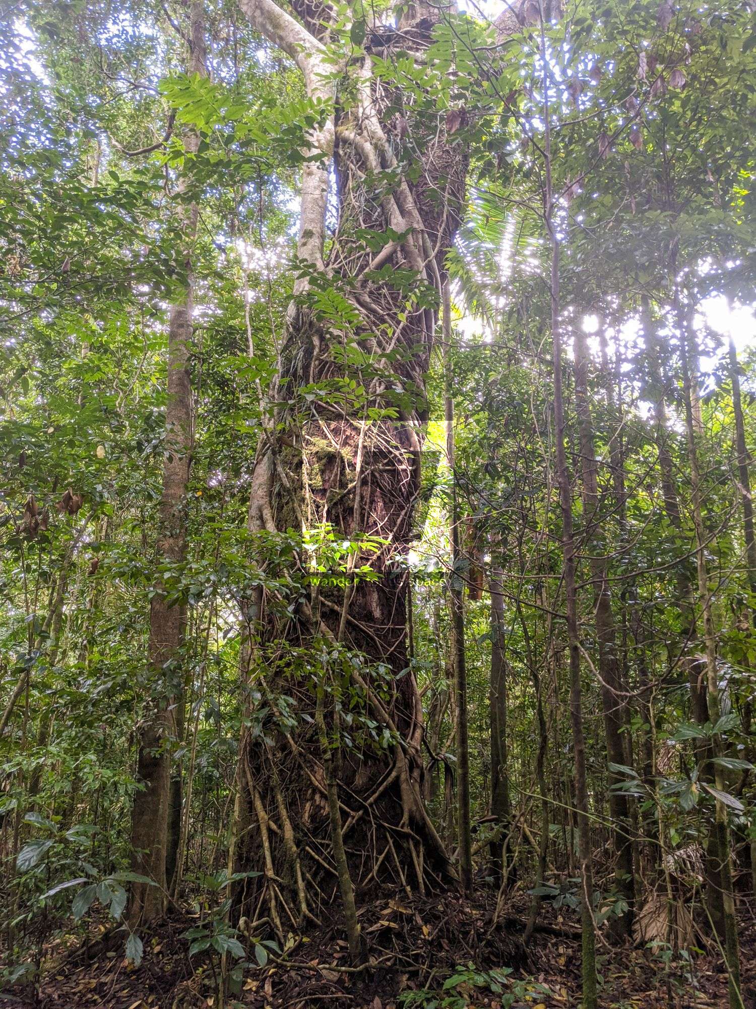
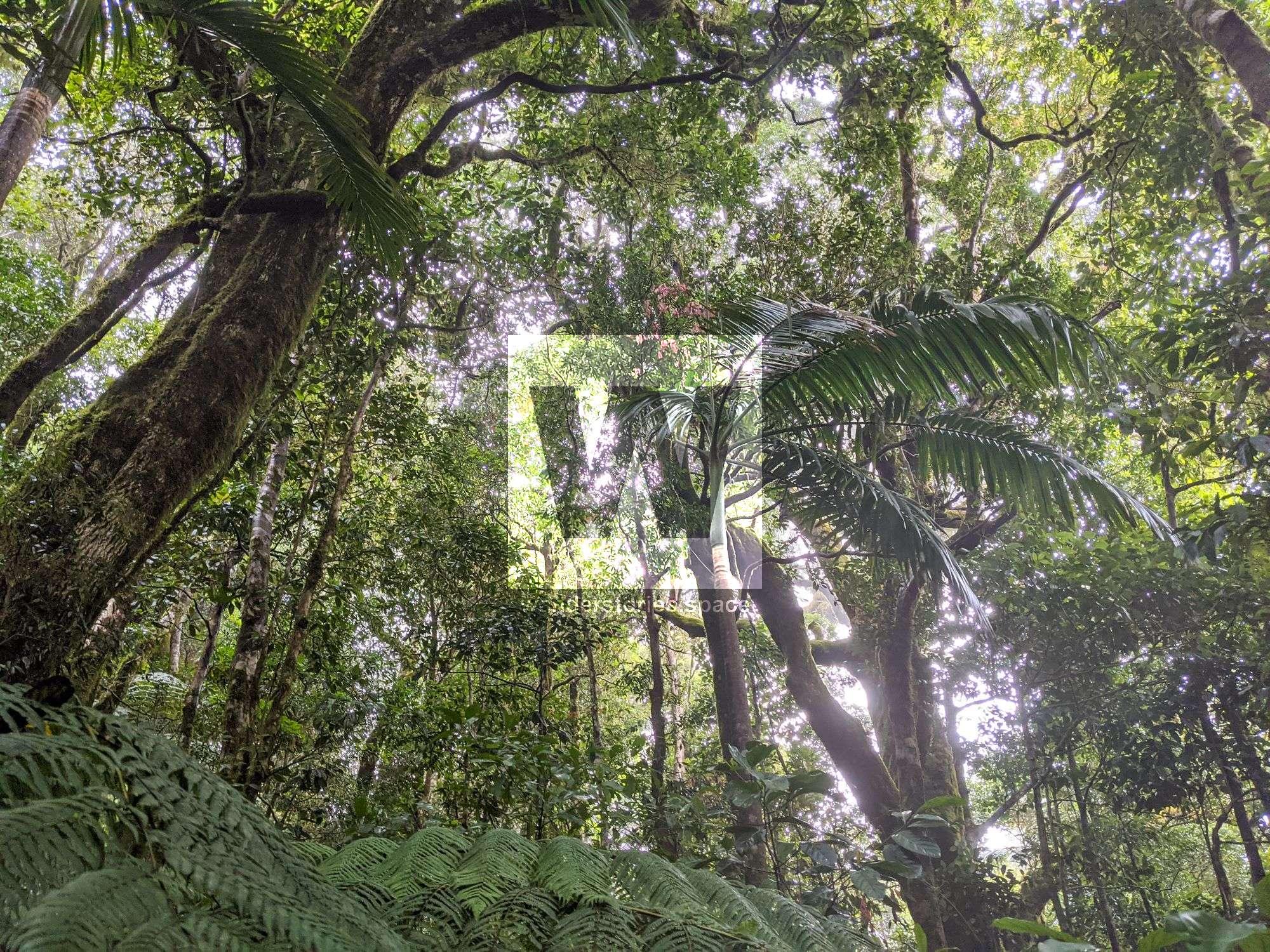
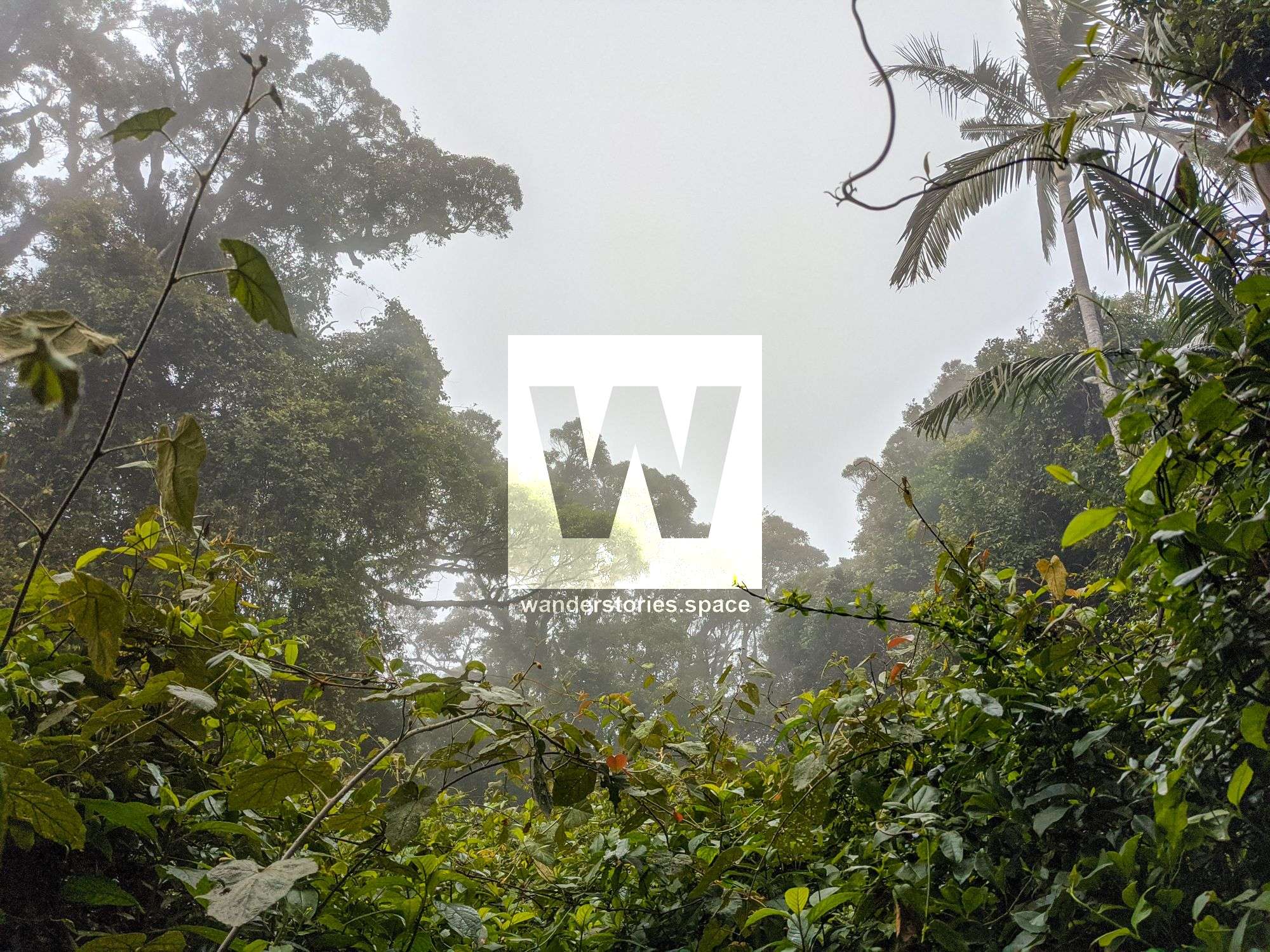
The summit was damaged by cyclones, similar to some of the other mountain peaks in the area, and now vines and bramble run rampant. A rock marks the summit, and a nearby rock provides glimpses out to Giru on a clear day.
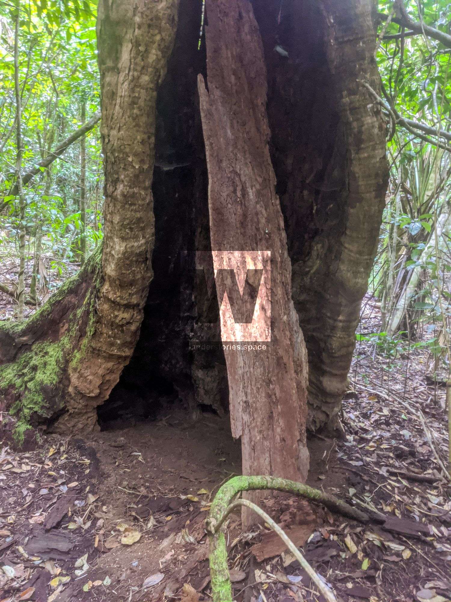
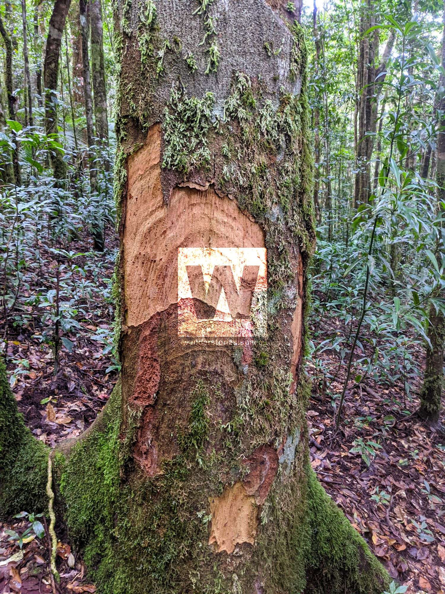
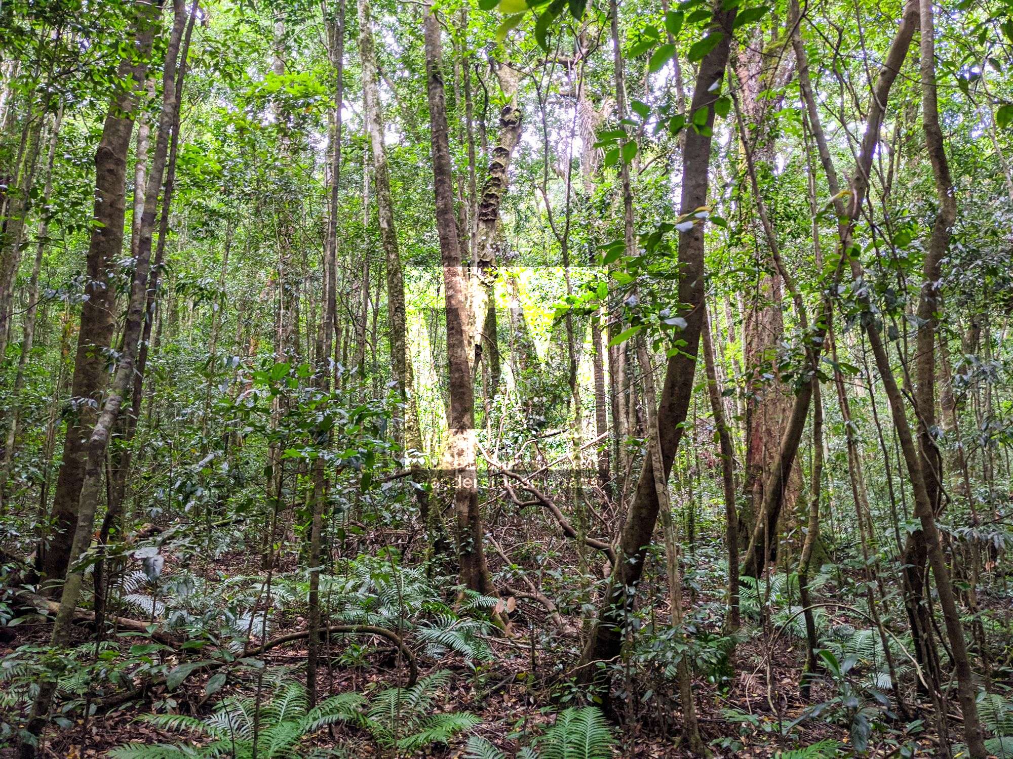
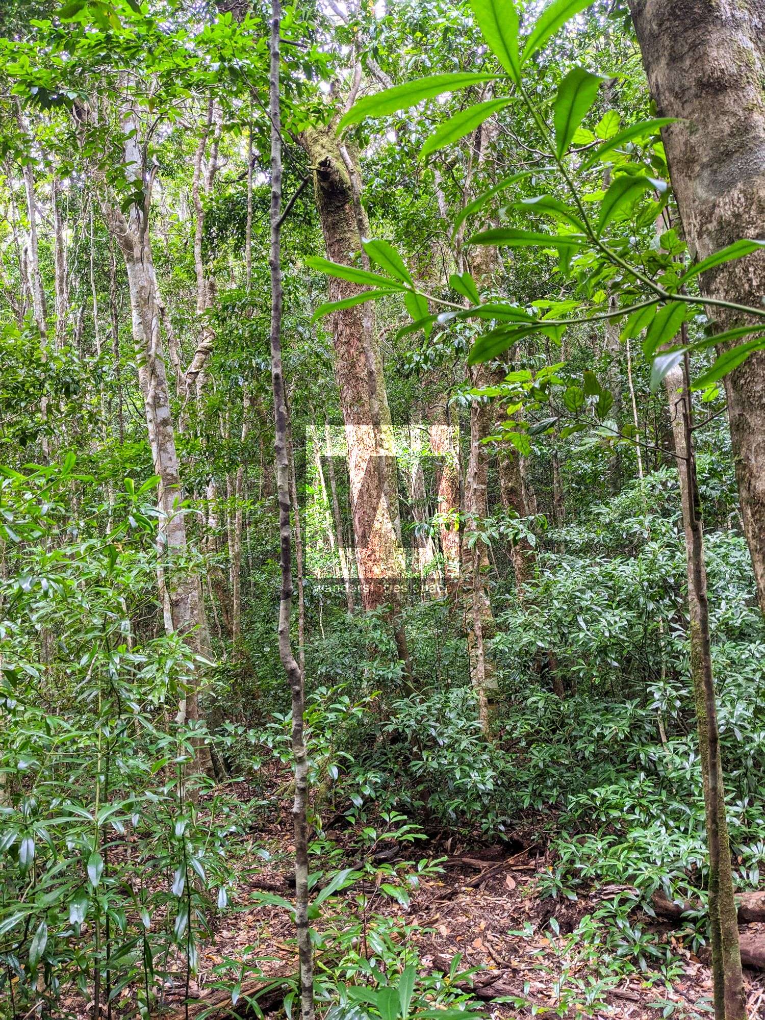
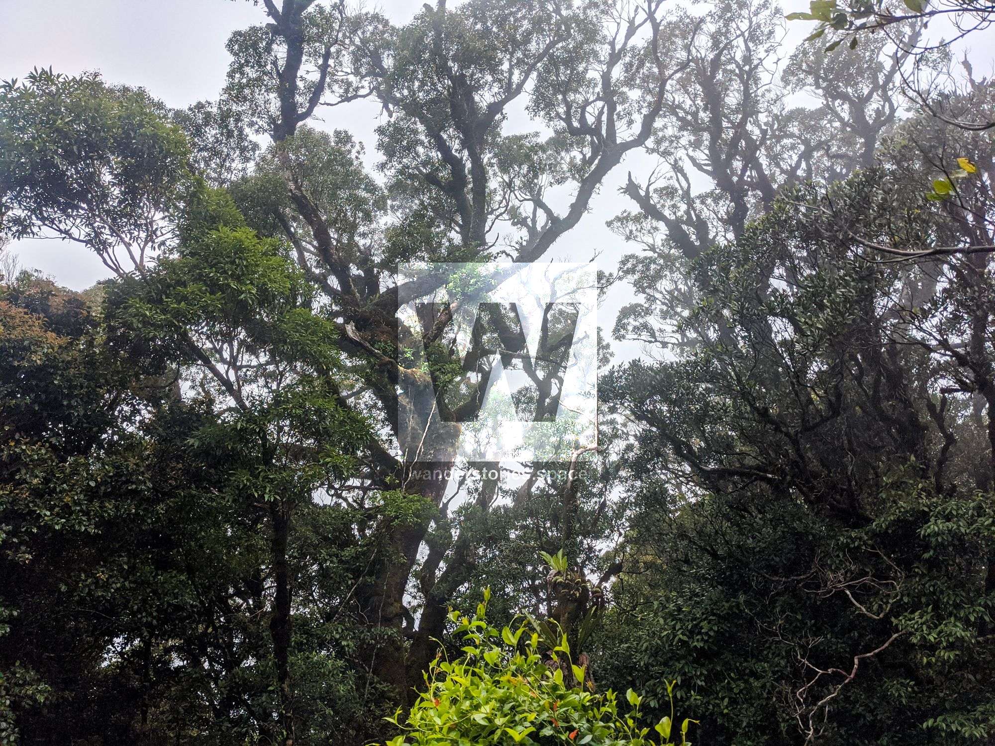
In addition to the dense rainforest vegetation with plenty of bramble, barbed wire vines, and lawyer cane to navigate, there is evidence of other wildlife, including boars (wild pigs); their tracks make for short-lived highways through the rainforest. Gimpie Gimpie (stinging tree) is also present in the area.
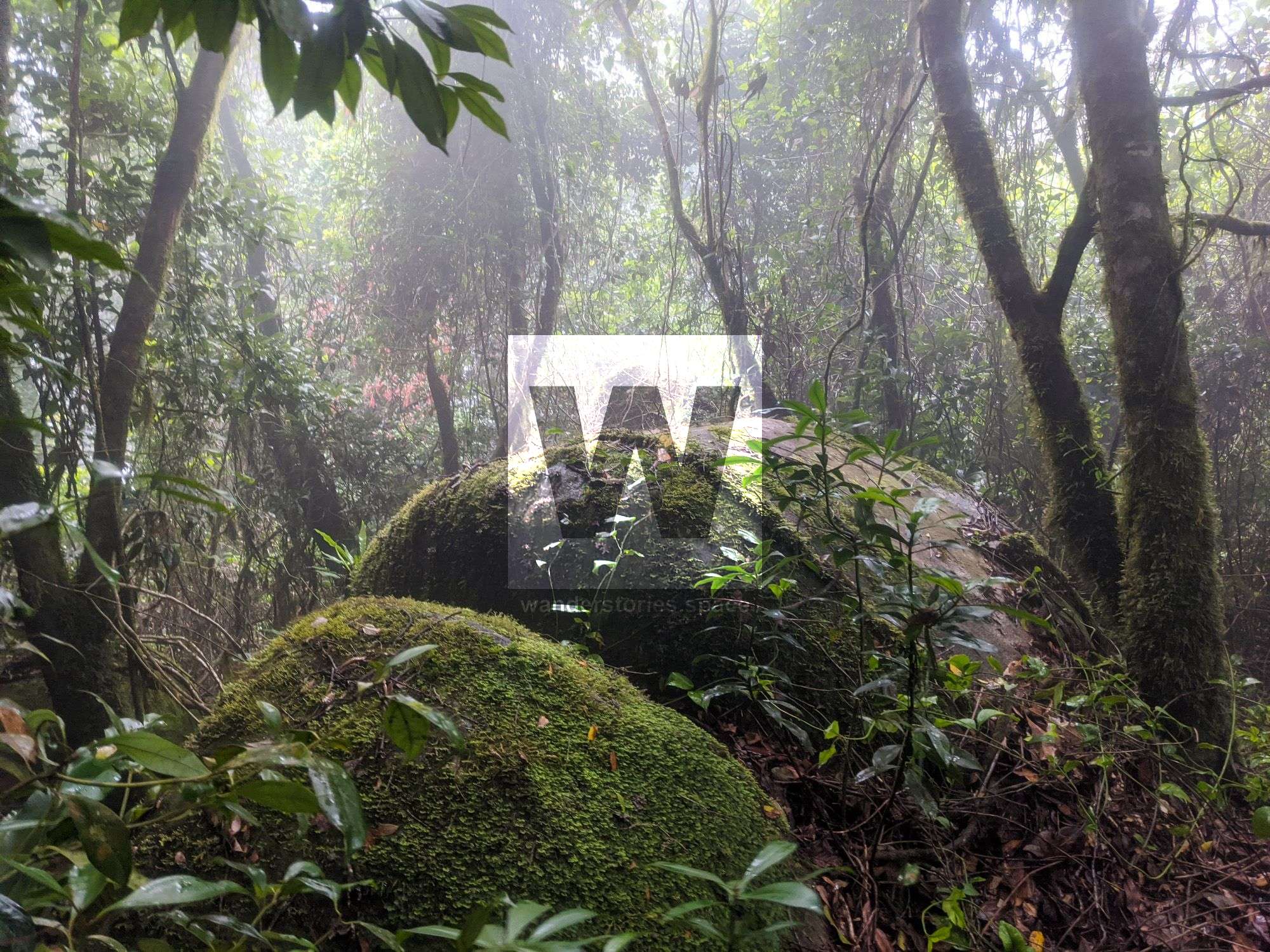
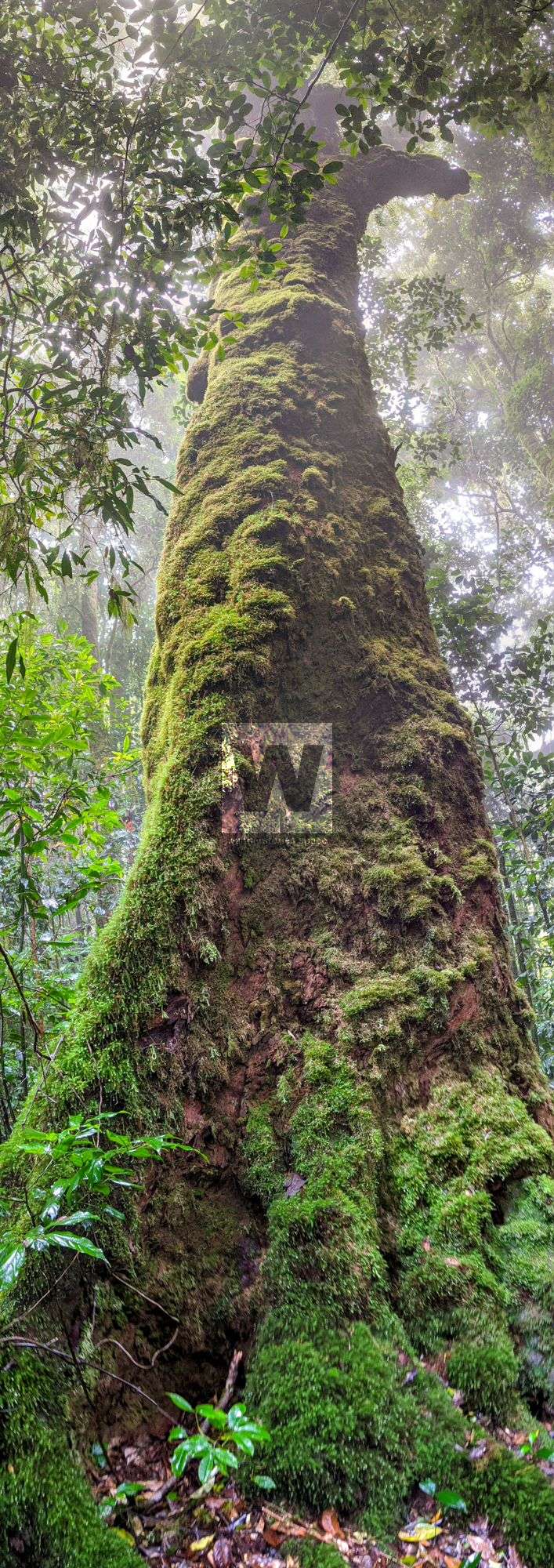
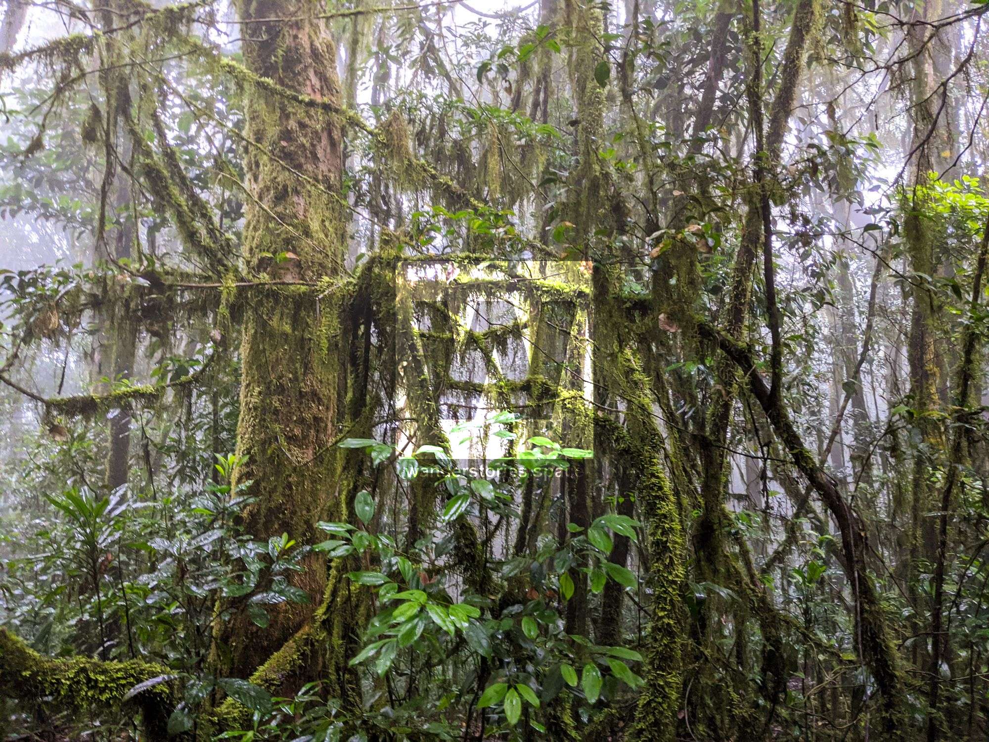
If summiting Sharp Elliot, follow the main ridgeline and then up toward the rounded summit. The ridgeline runs the whole length of the range and is quite enjoyable to traverse. Note that this area has a lot of vines.