Tinkle Canyon, Tinkle Creek
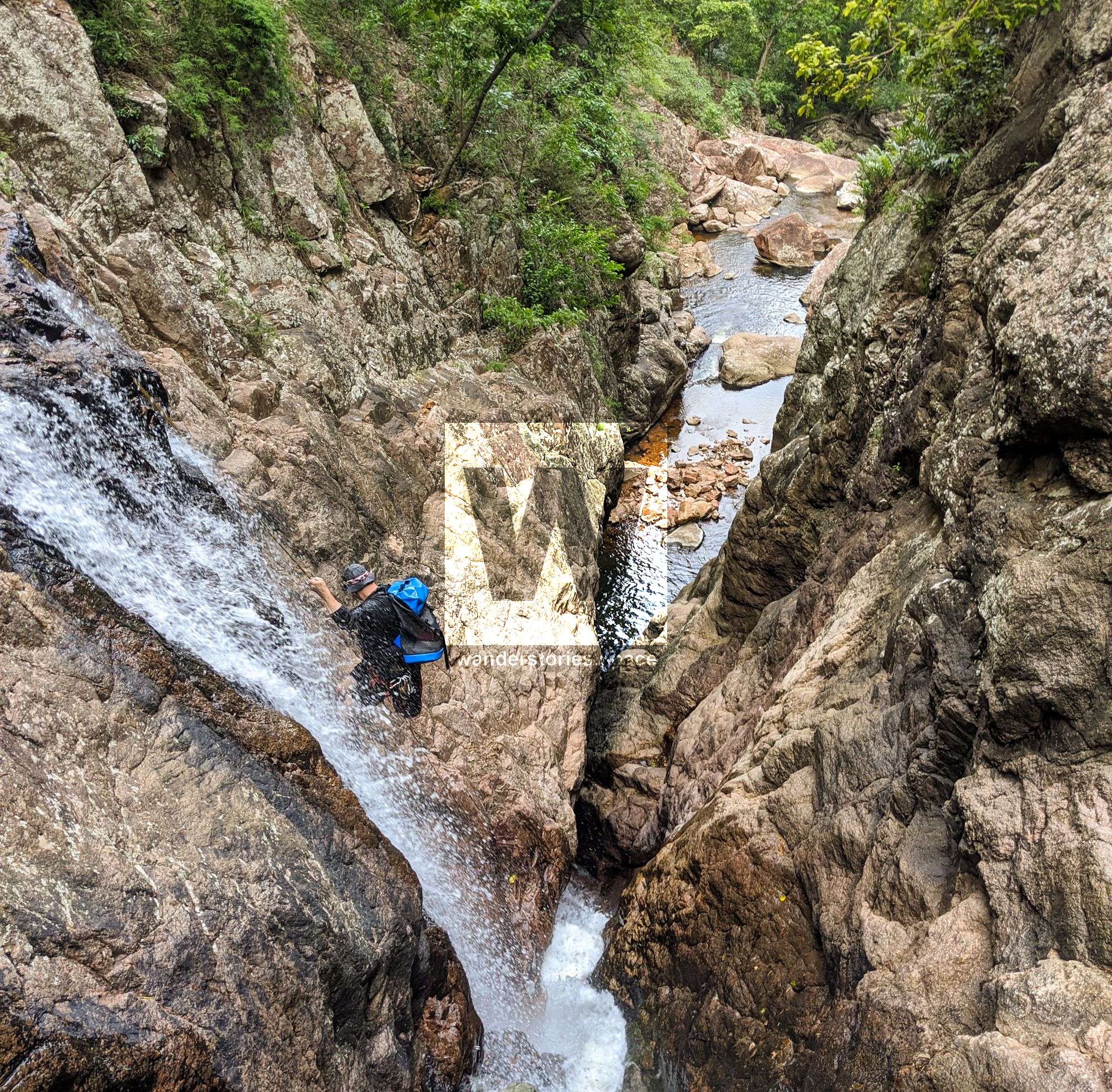
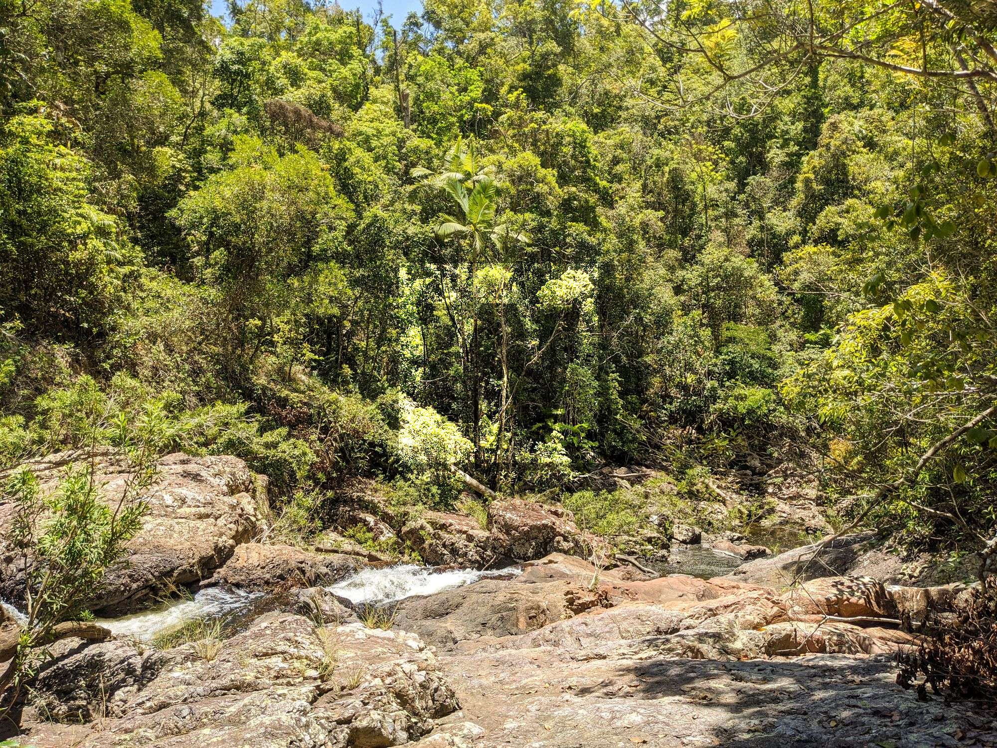
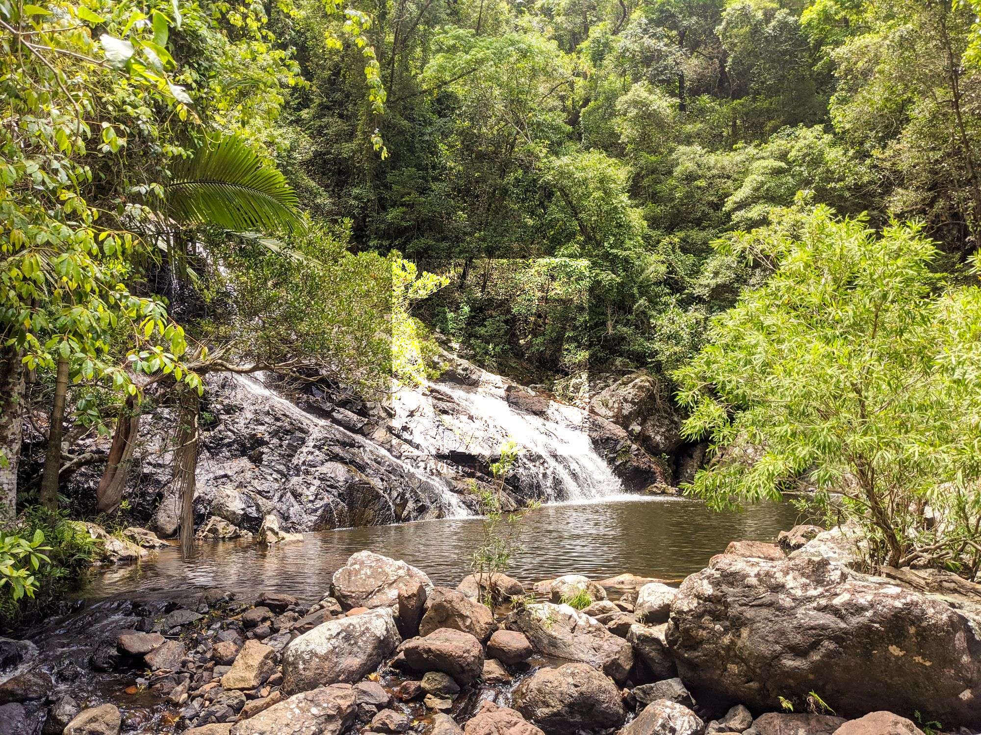
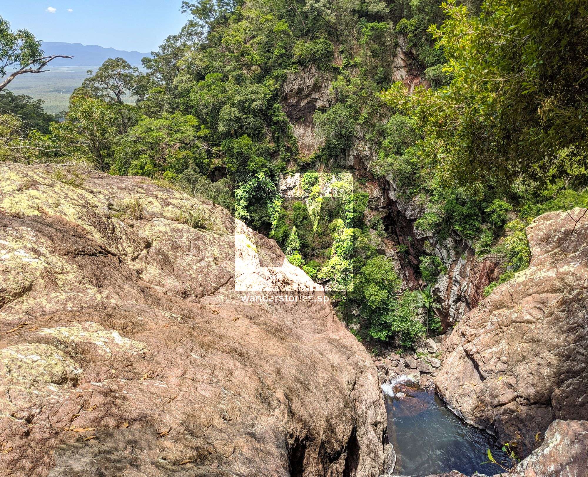
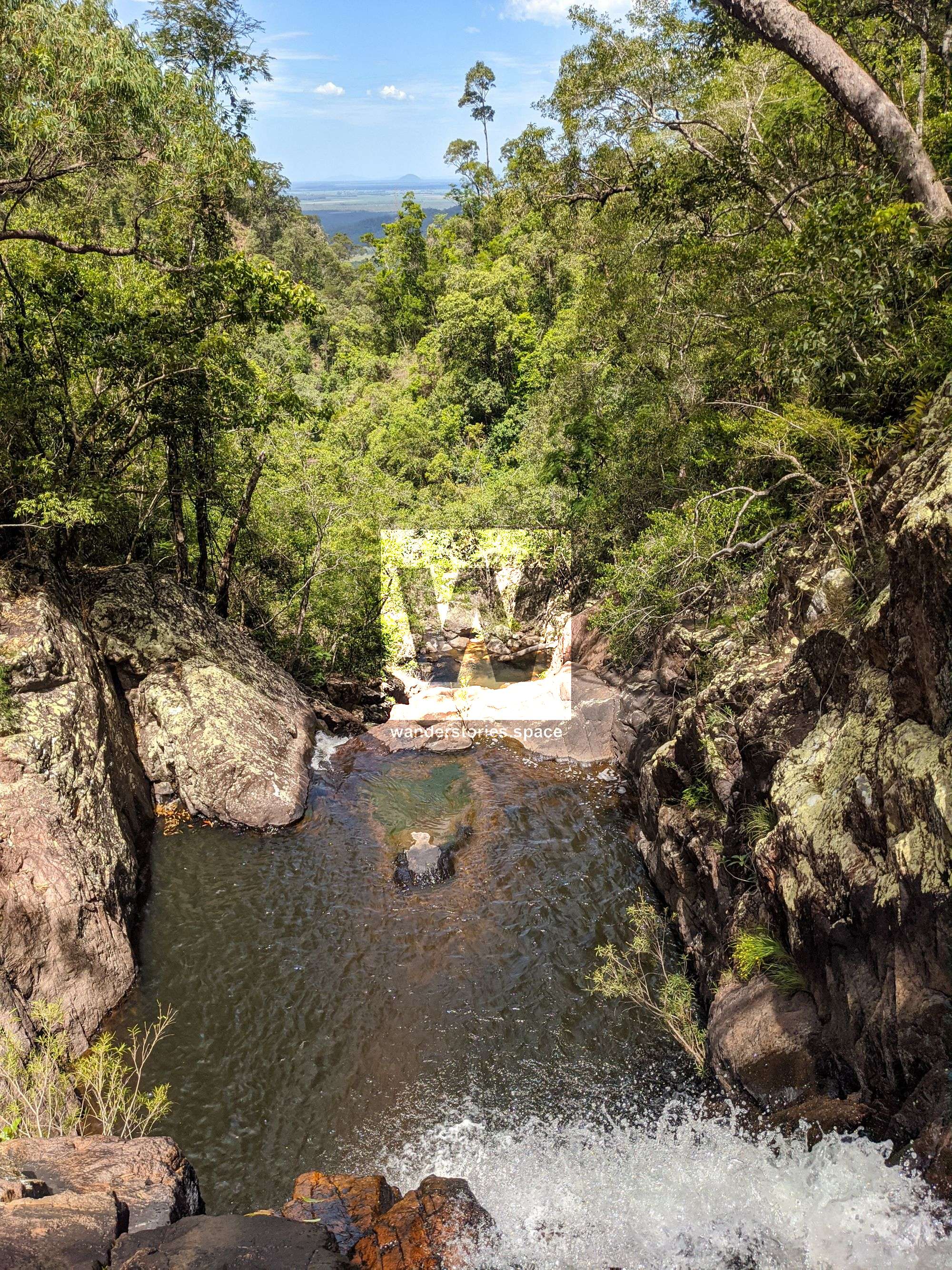
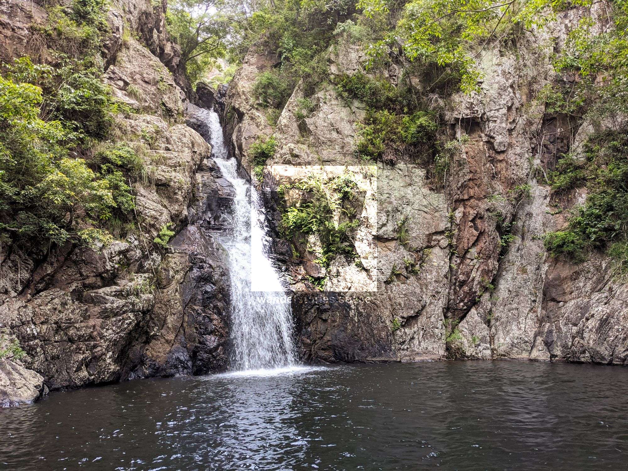
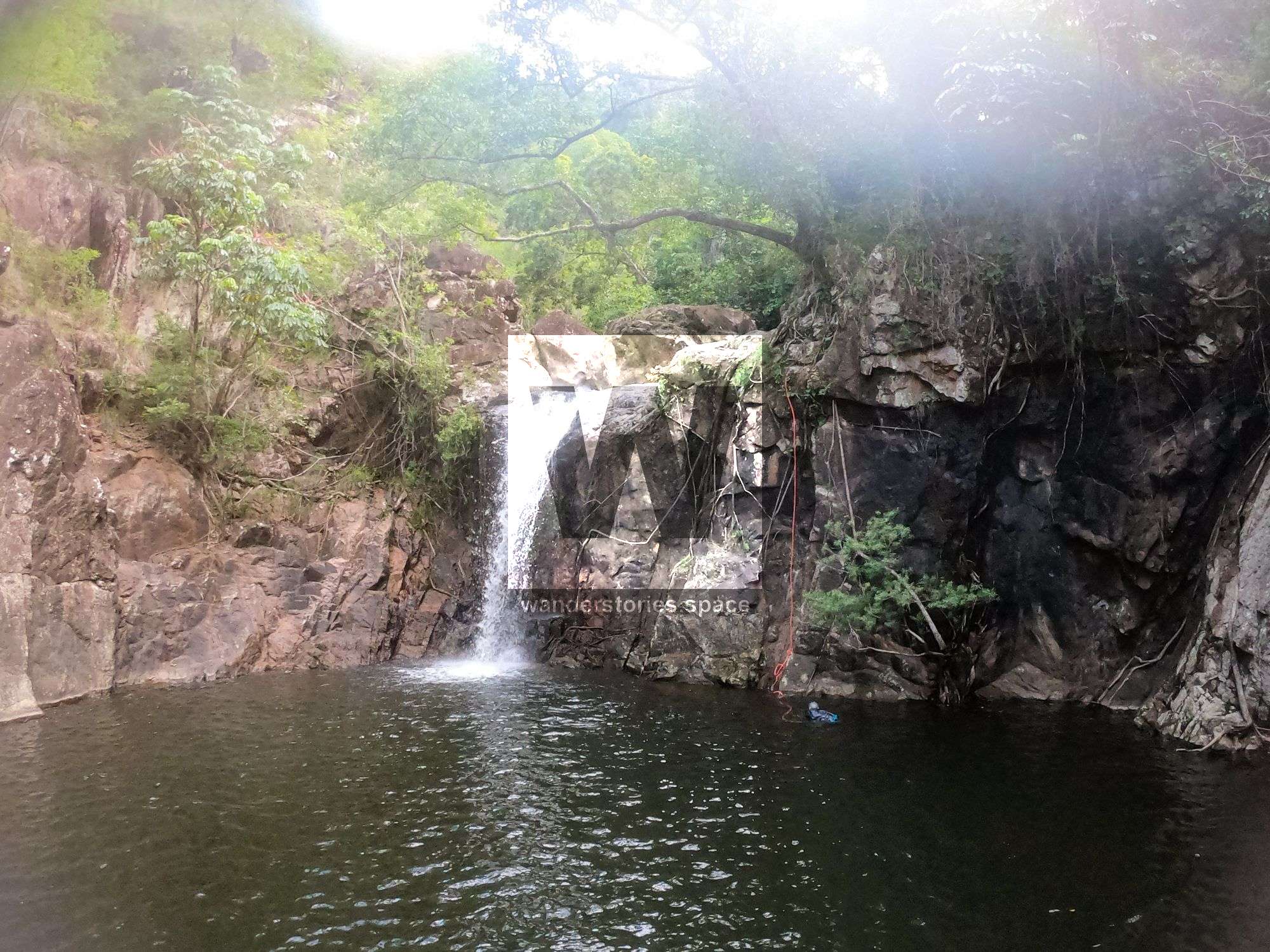
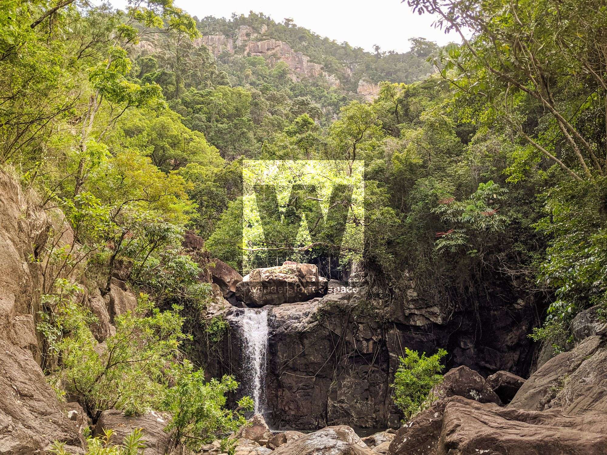
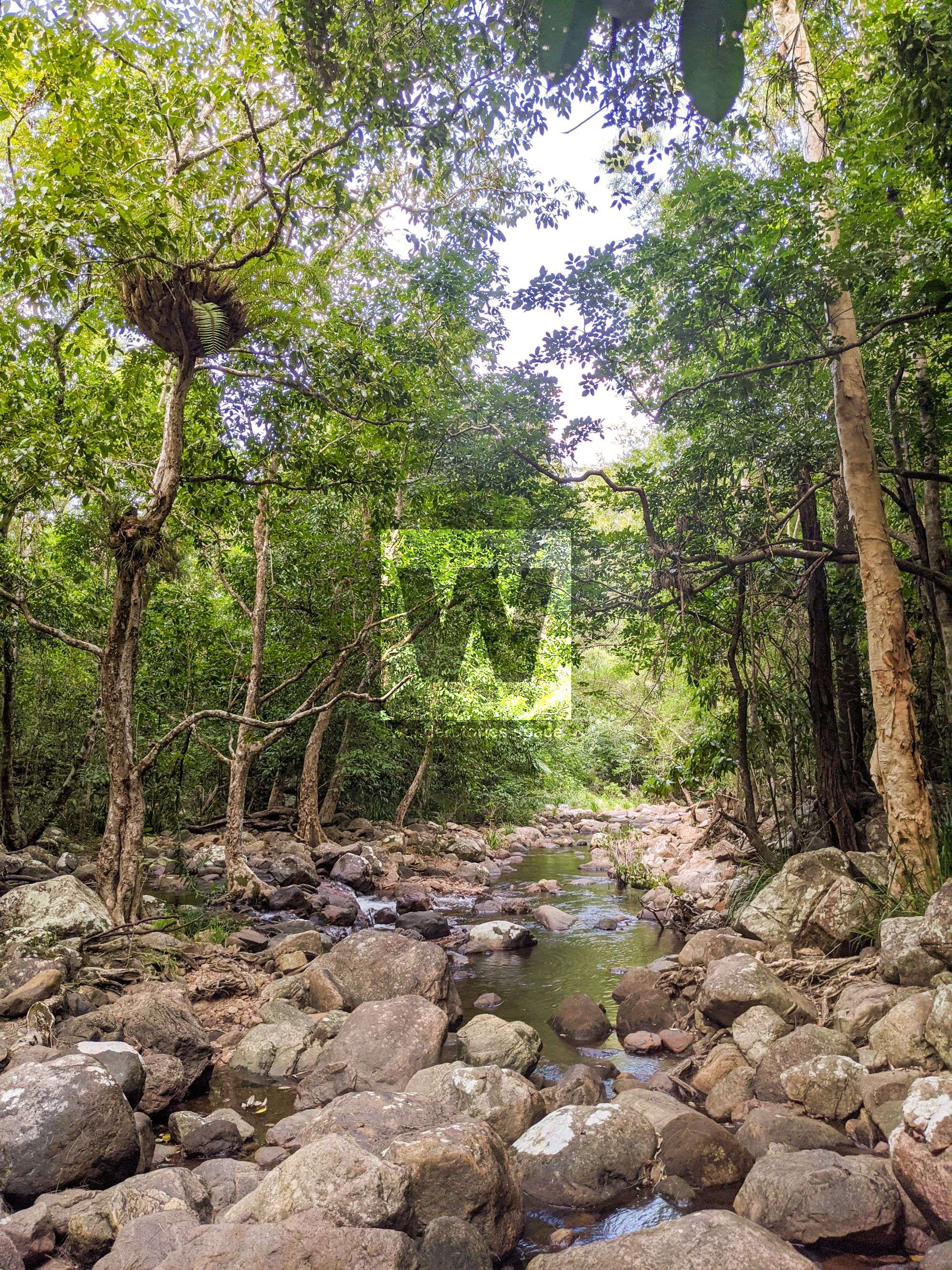
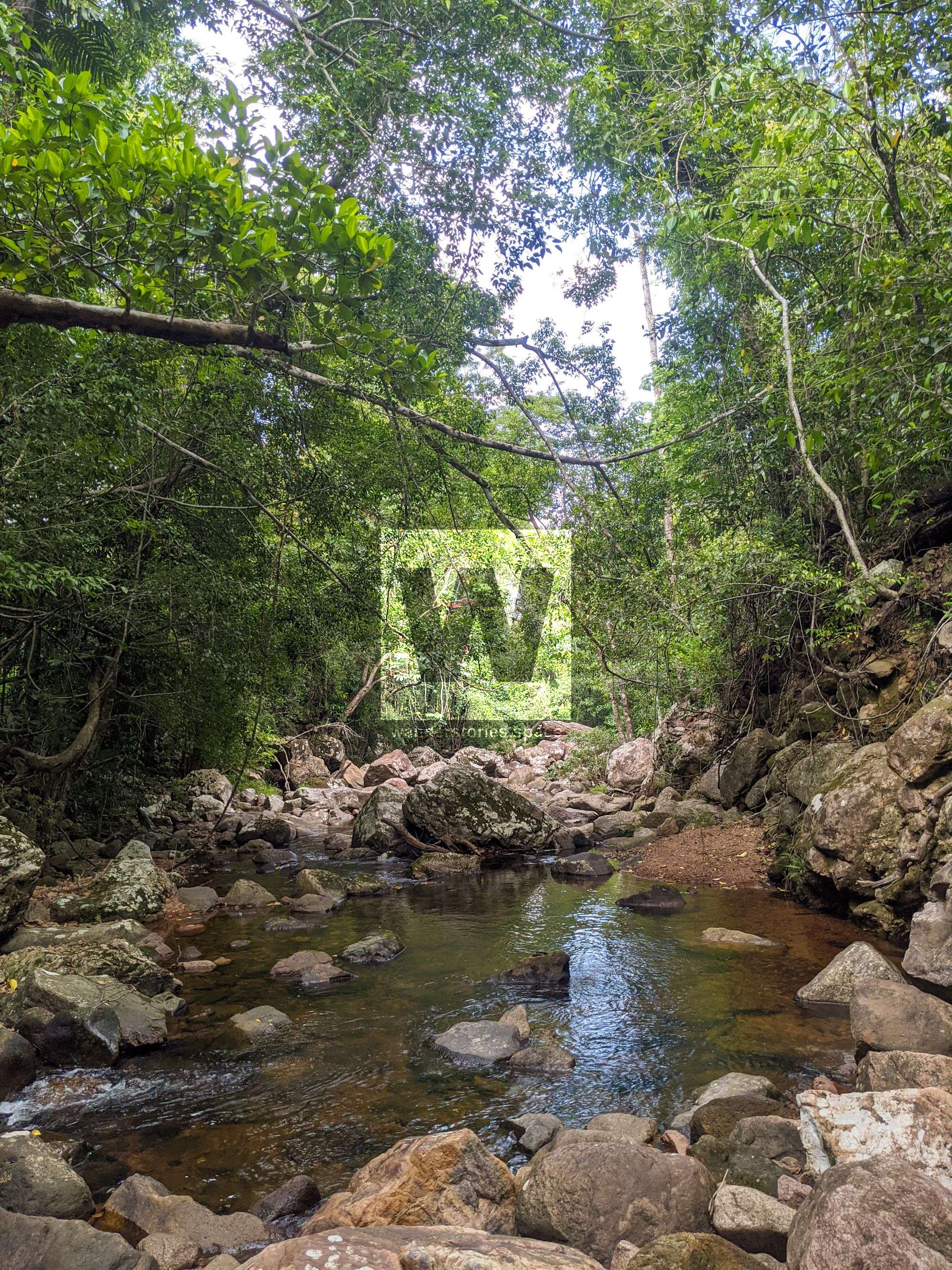
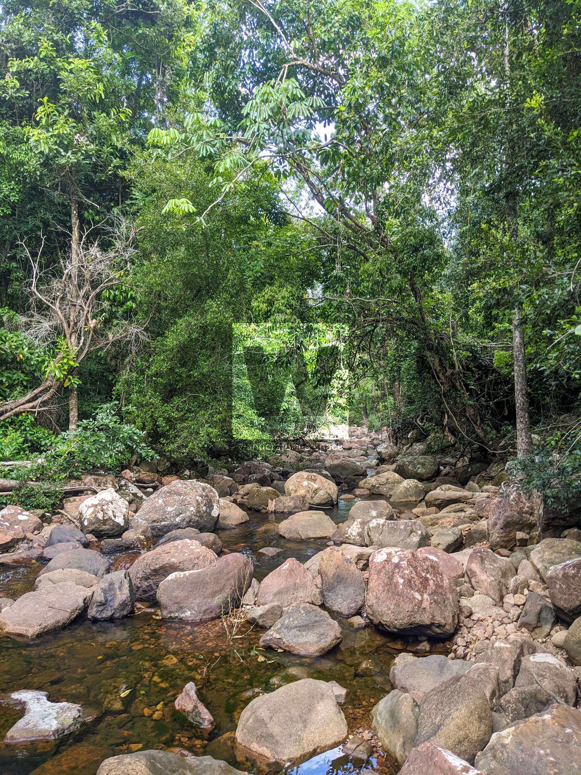
This rugged but beautiful creek has some spectacular gorges and big drops. It's one of the larger systems that drop off the Sea View Range near Wallaman Falls.

Tinkle Canyon
Location - Girringun National Park, North Queensland, Australia
Approach Difficulty - Grade 5 (AWTGS)
Grade - V4 A3 IV ** (French Grading System)
Distance - Approximately 12.5 km
Total Time - 7-9 hours
Approach - 1 hour
Descent - 5-7 hours
Exit - 1 hour
Elevation loss - 550 metres
Flash flooding level - Medium
Longest rappel - 60 m
This rugged but beautiful creek has some spectacular gorges, big drops, and wonderful waterfalls. It's one of the larger systems that drop off the Sea View Range near Wallaman Falls.
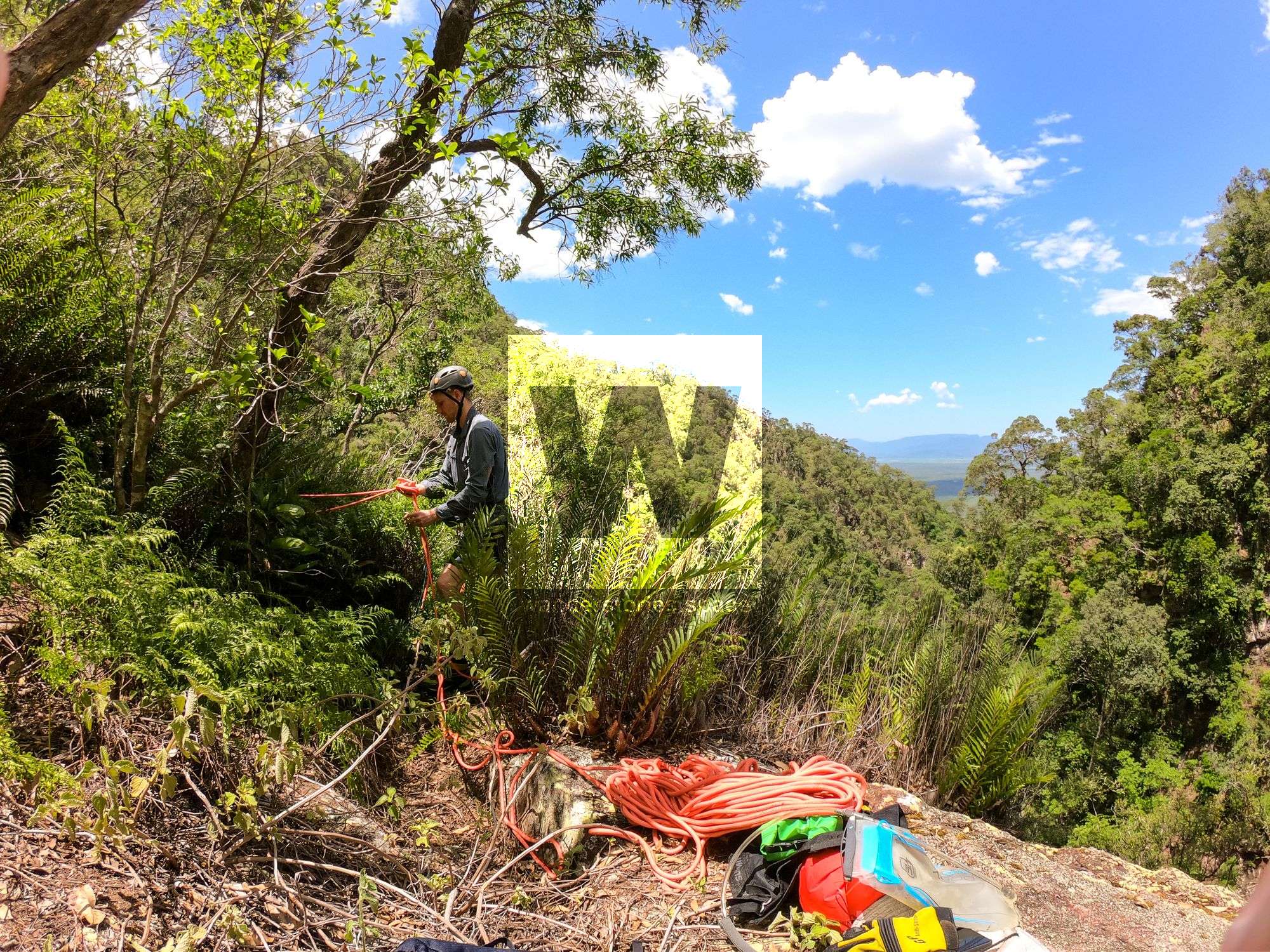
Your team should have good navigation skills and appropriate experience. This trip requires a car shuttle. It's a two hour drive north towards Wallaman Falls. Drive into Lannercost State Forest and park car near the base of the creek as marked on the map. The most western road is overgrown so it's recommended to drive in on the main, well-maintained road which only adds an extra 100m to the hike but would save you time driving.
Drive the other vehicle up the range taking your first left onto dirt road. Park your vehicle before sign that says vehicles not allowed. Continue hiking in along the road for another few meters before the bushbash starts.
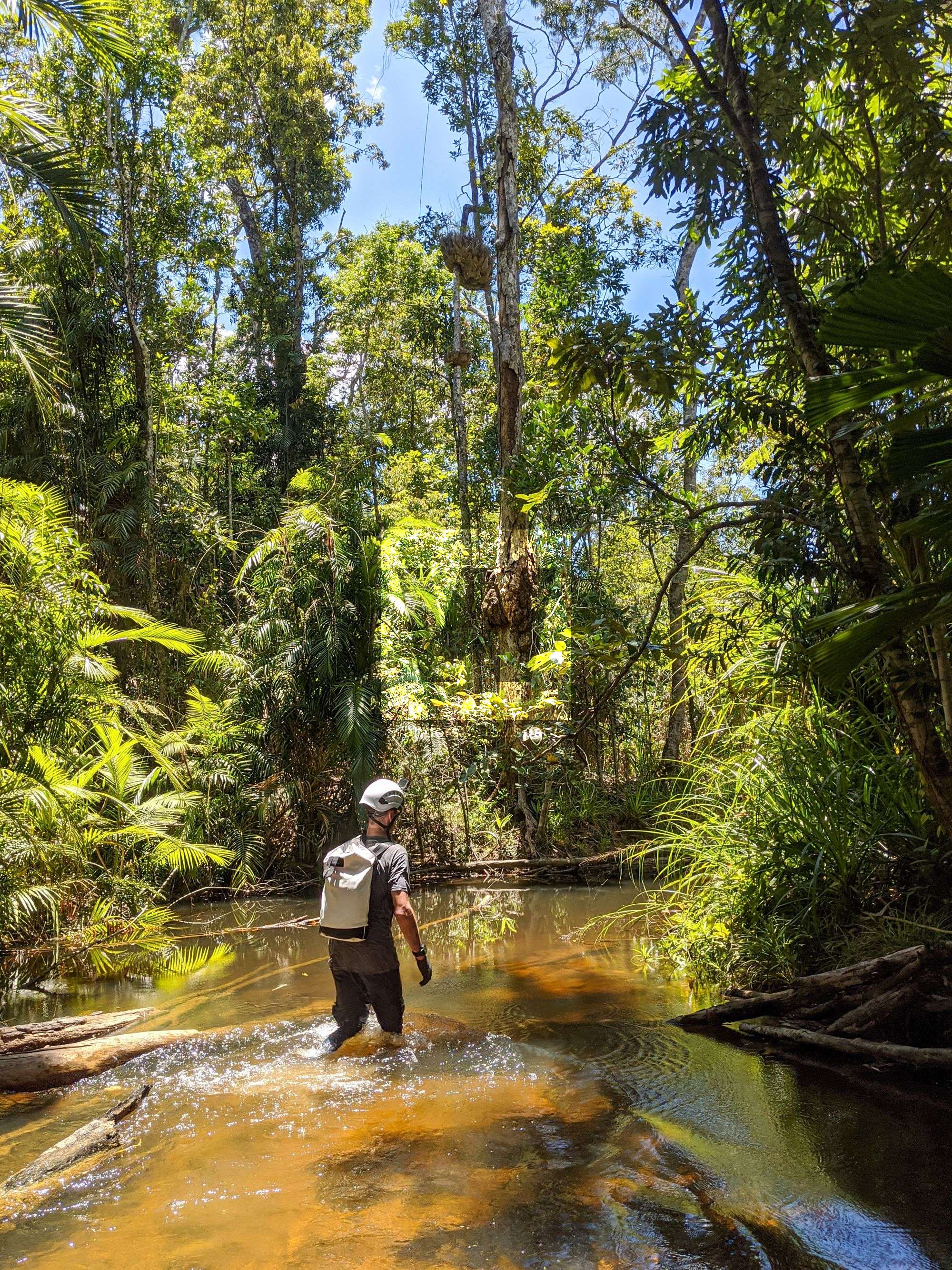
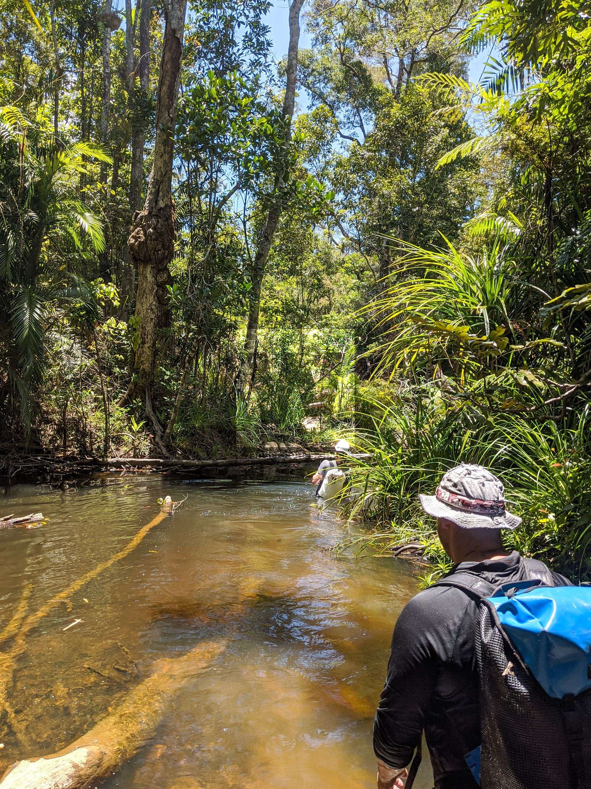
Approach
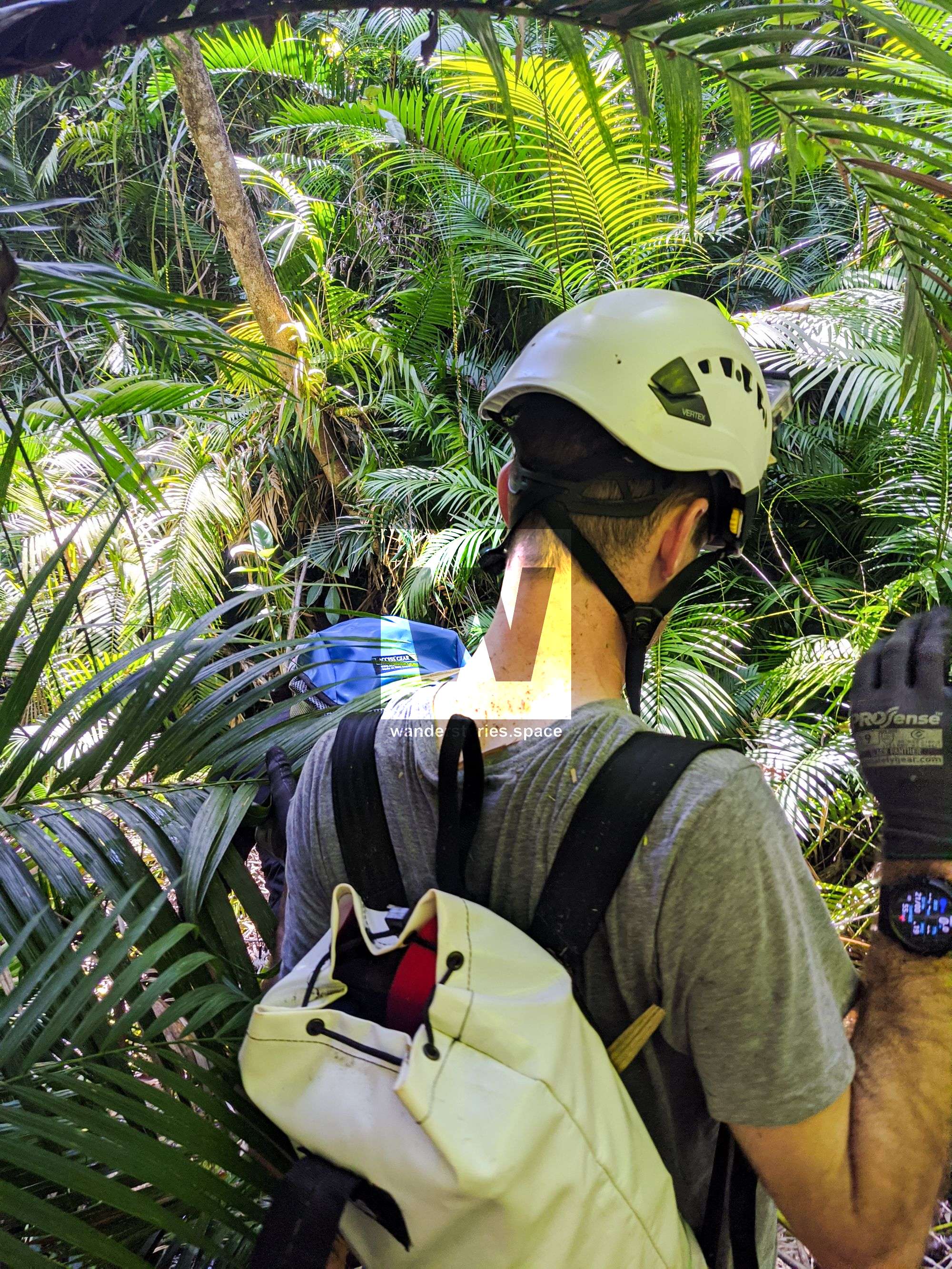
The approach is the hardest and longest part, as it appears that the rainforest canopy was damaged by Cyclone Yasi and has not yet fully regrown. This has promoted a lot of undergrowth, namely lawyer cane (wait-a-while) and stinging tree (gympie gympie).
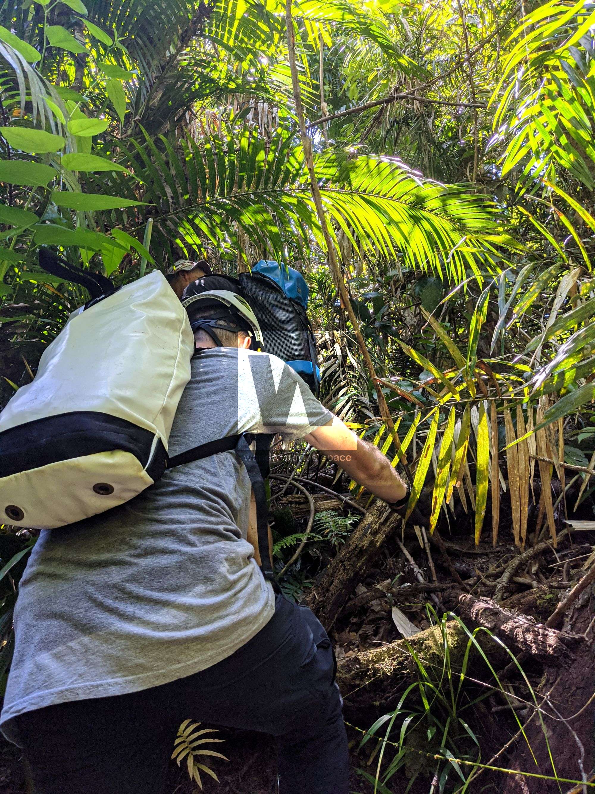
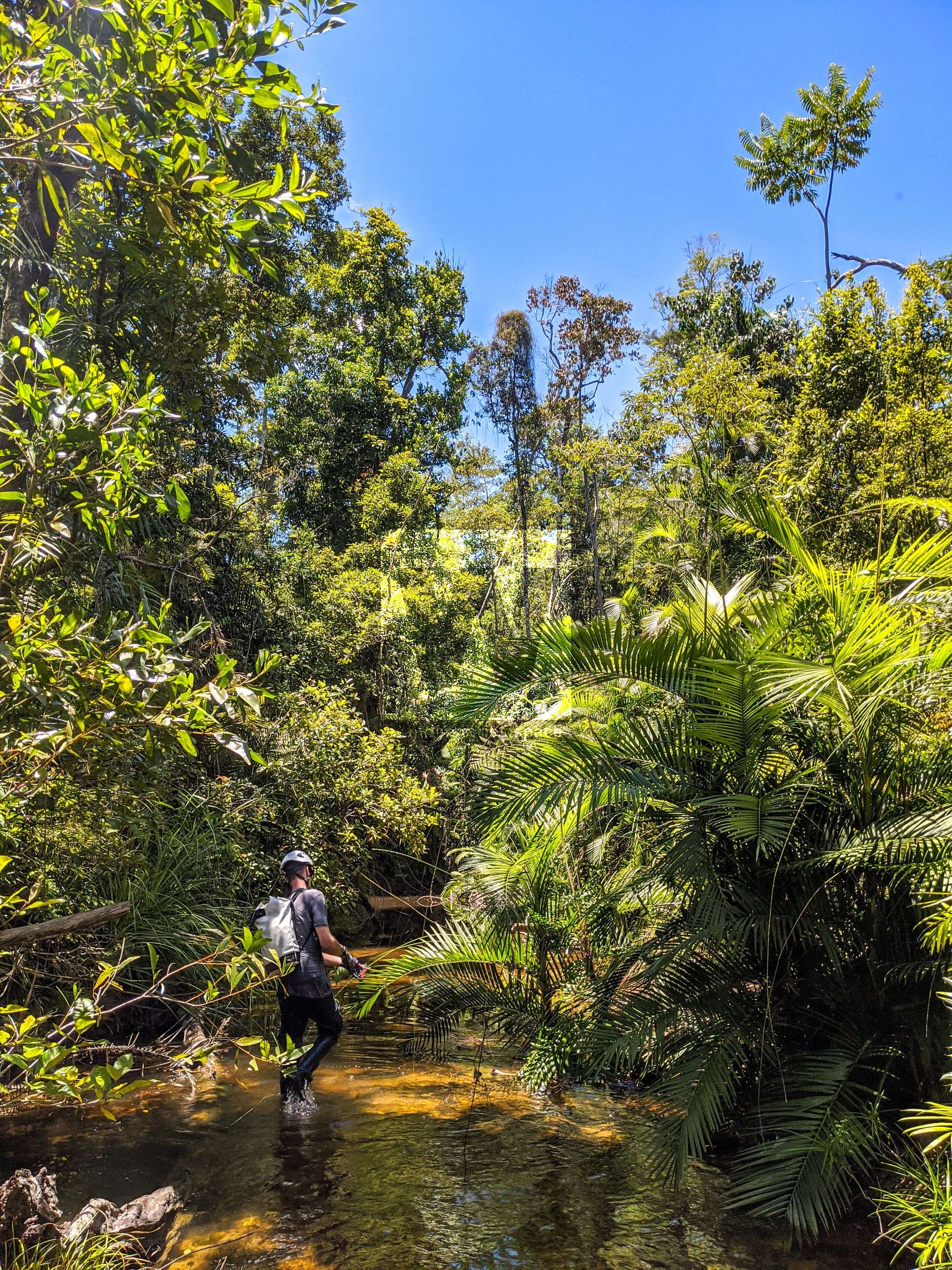
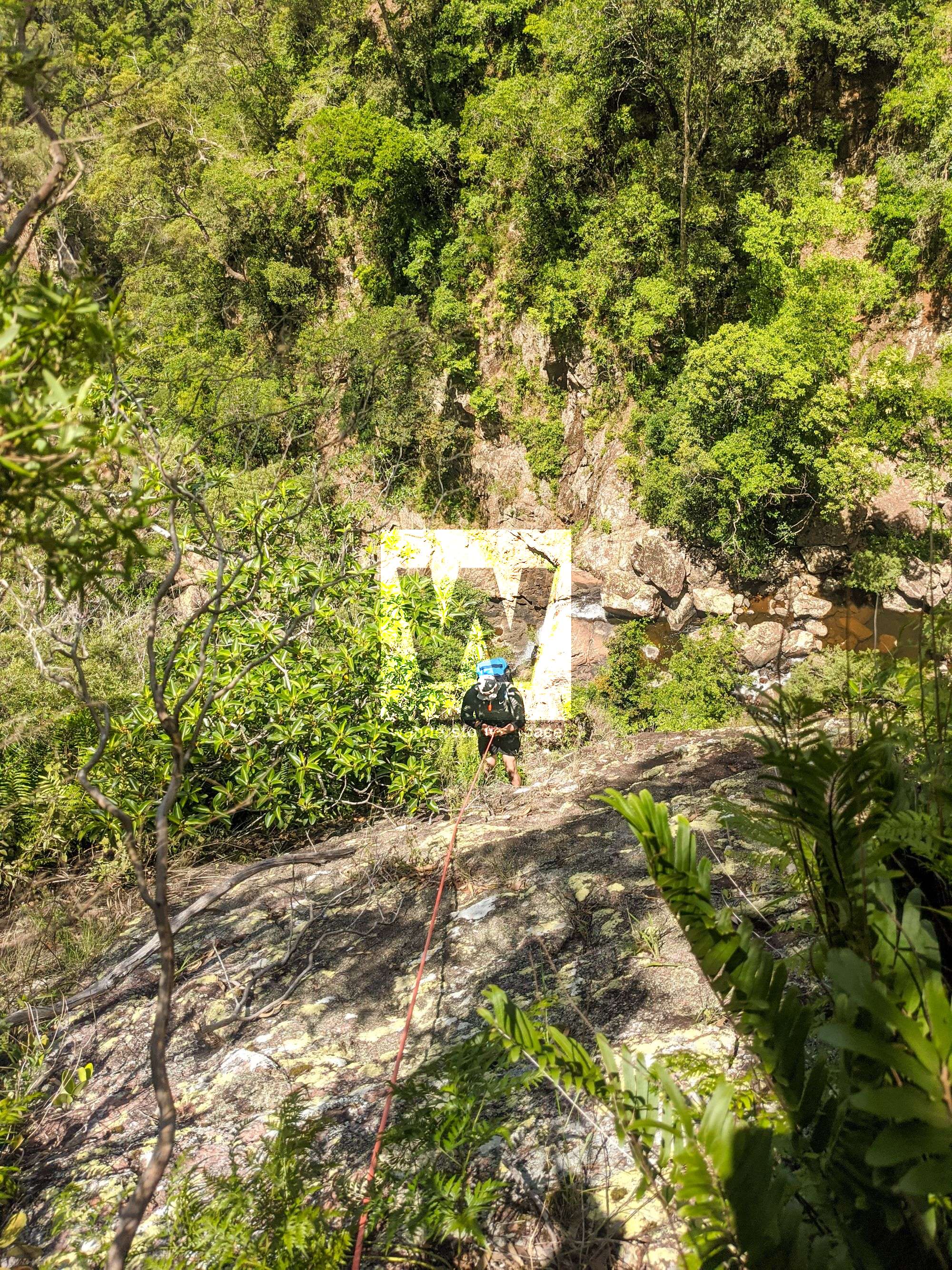
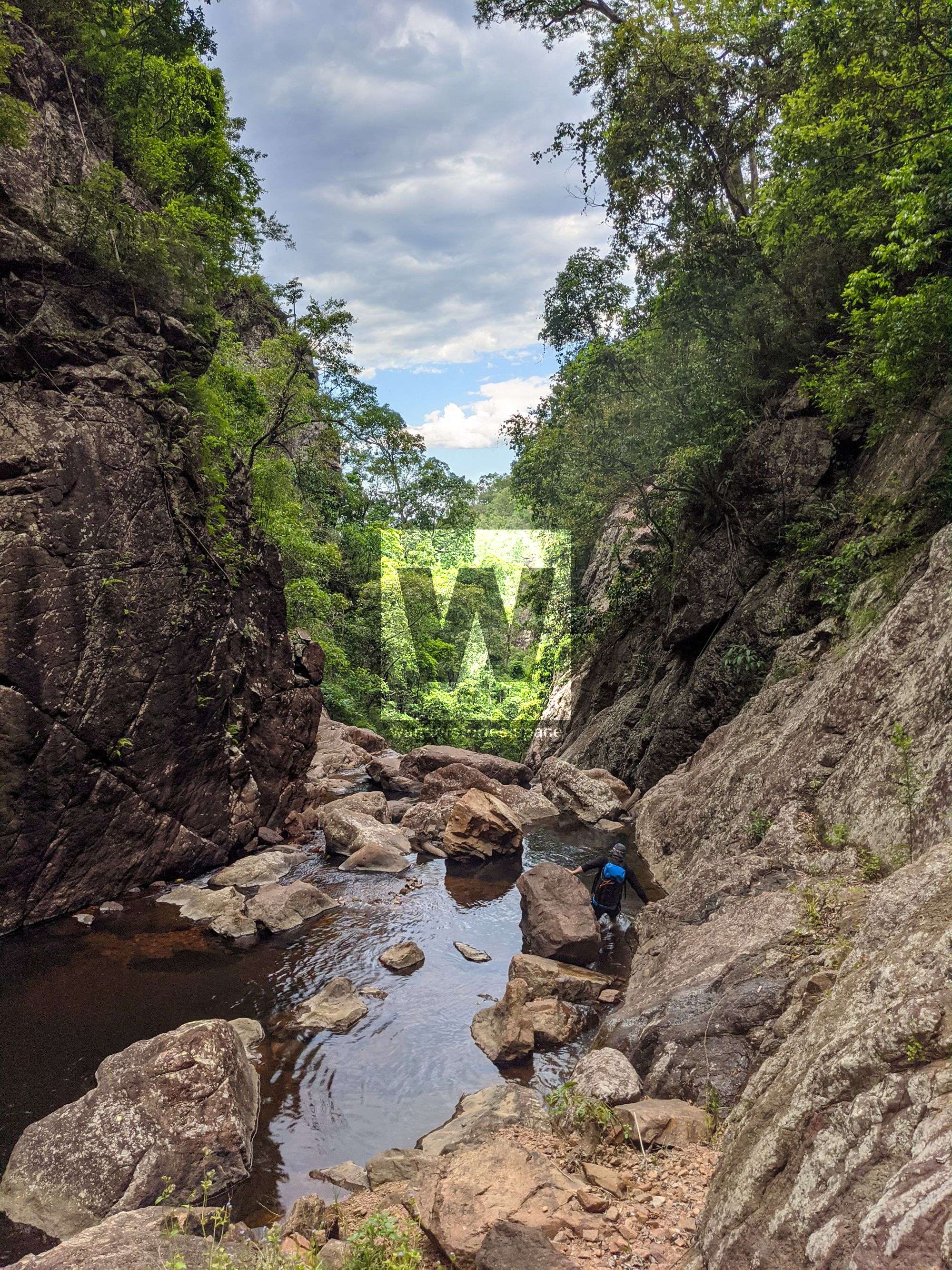
The streams are infested with lawyer cane (wait-a-while) so it's best to stick to the unpronounced ridgeline as much as possible and only enter the stream around -18.64696,145.88458. Continue down the tributary to meet Tinkle Creek.
Alternatively, there is an old overgrown track, named Old Mill Road, that takes you to the upper reaches of Tinkle Creek but the road is overgrown and may increase your approach, not shorten it.
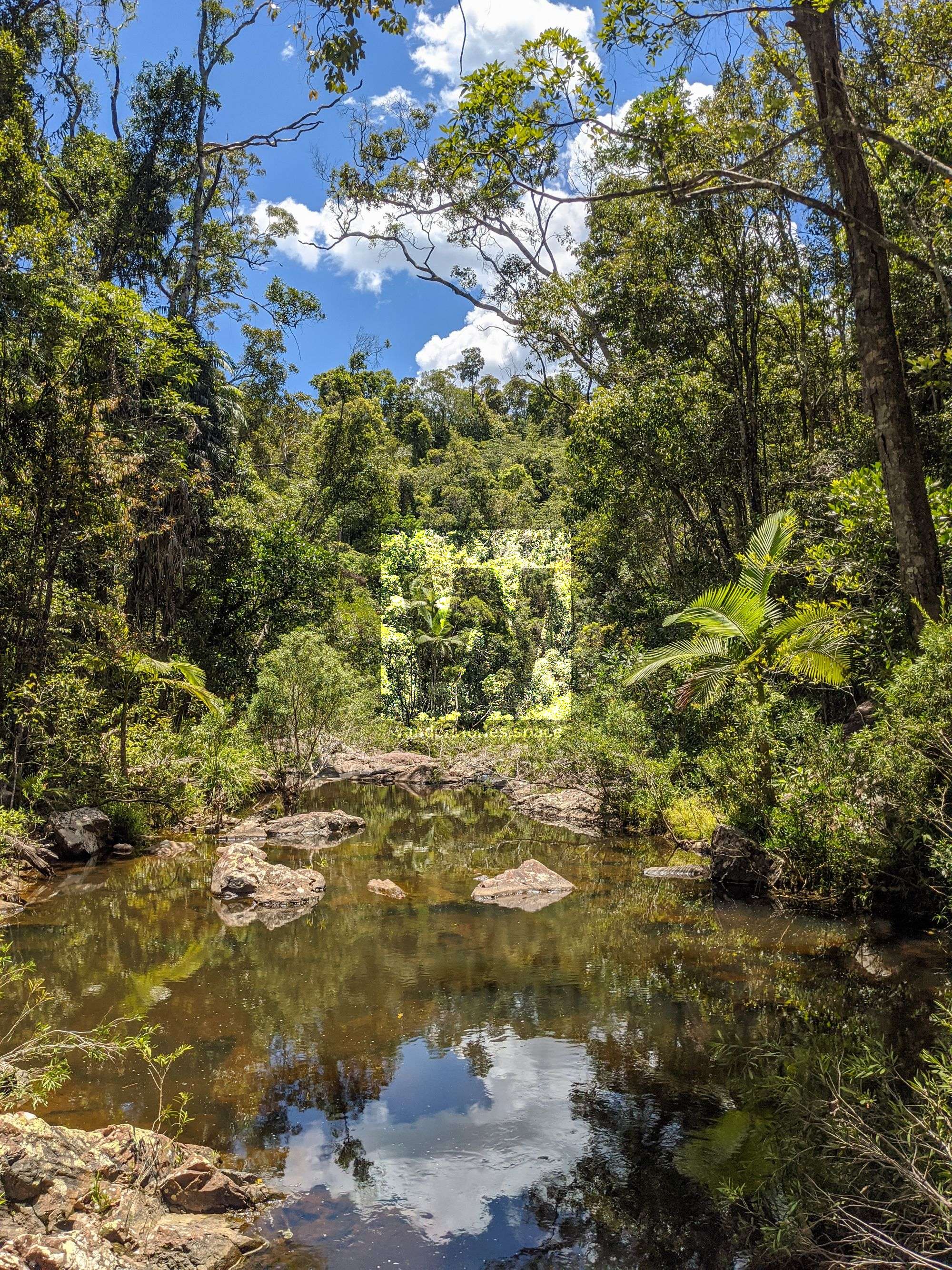
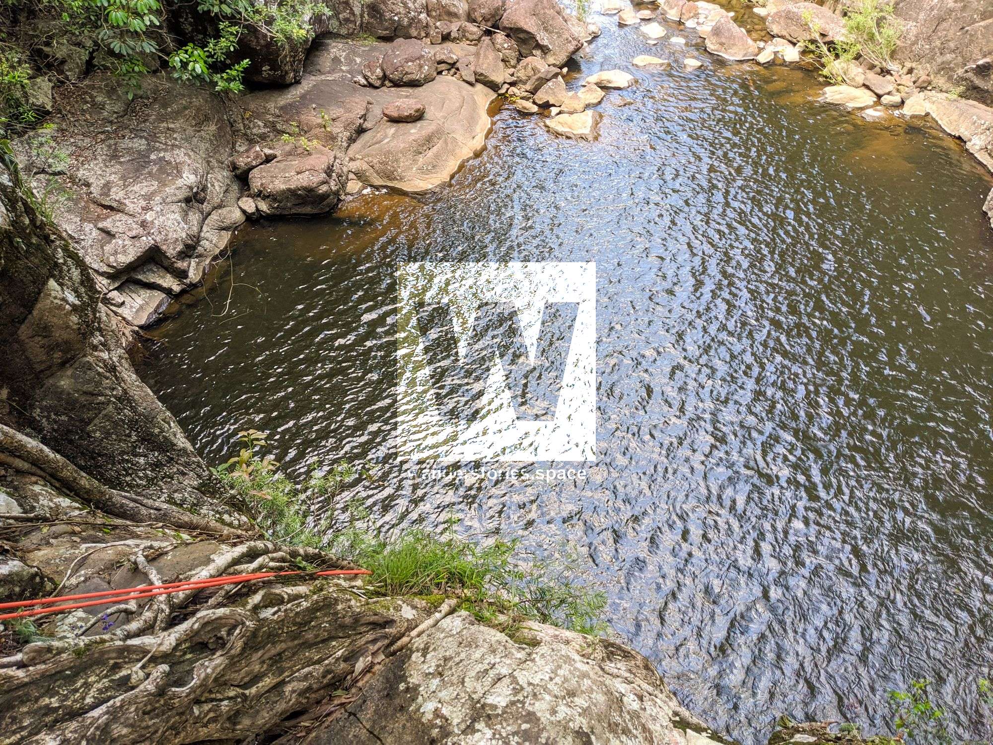
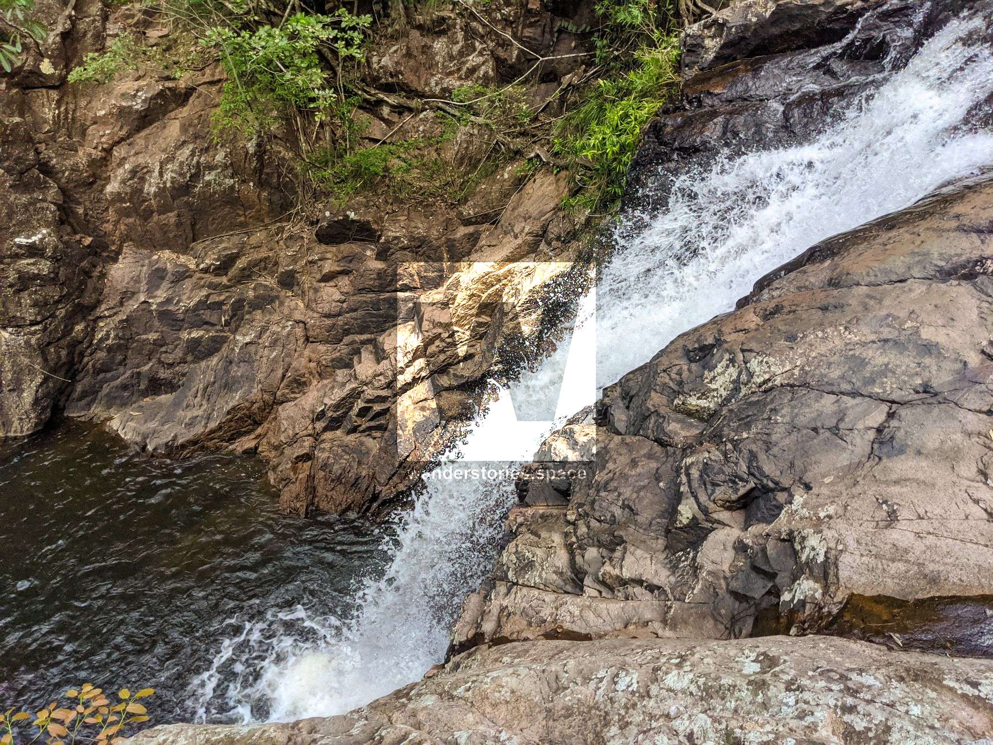
Scramble down the rocky slabs to a slab cascade, scramble down left. The pool is shallow so avoid cliff jumping.
Interactive Map
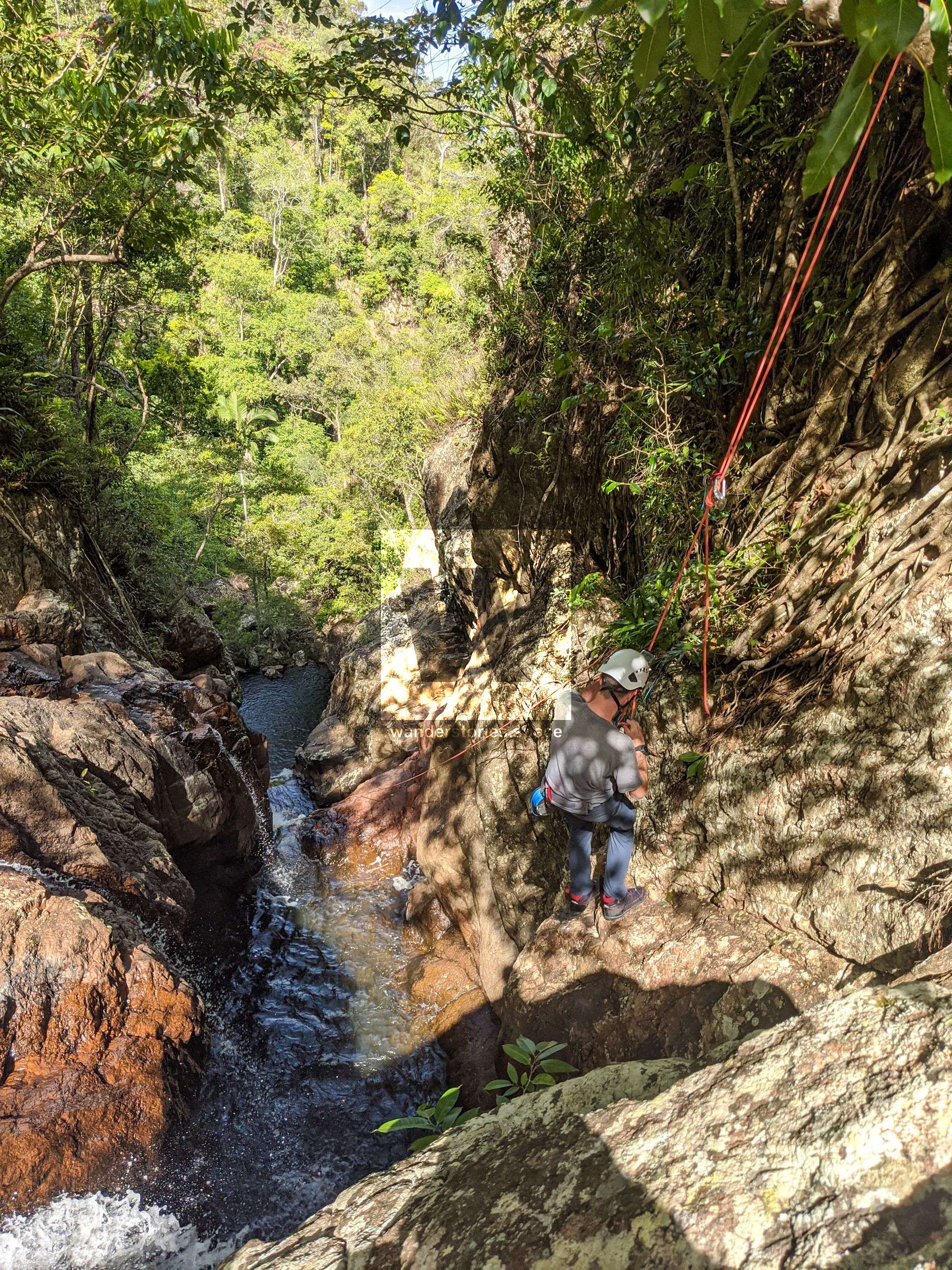
Rappels
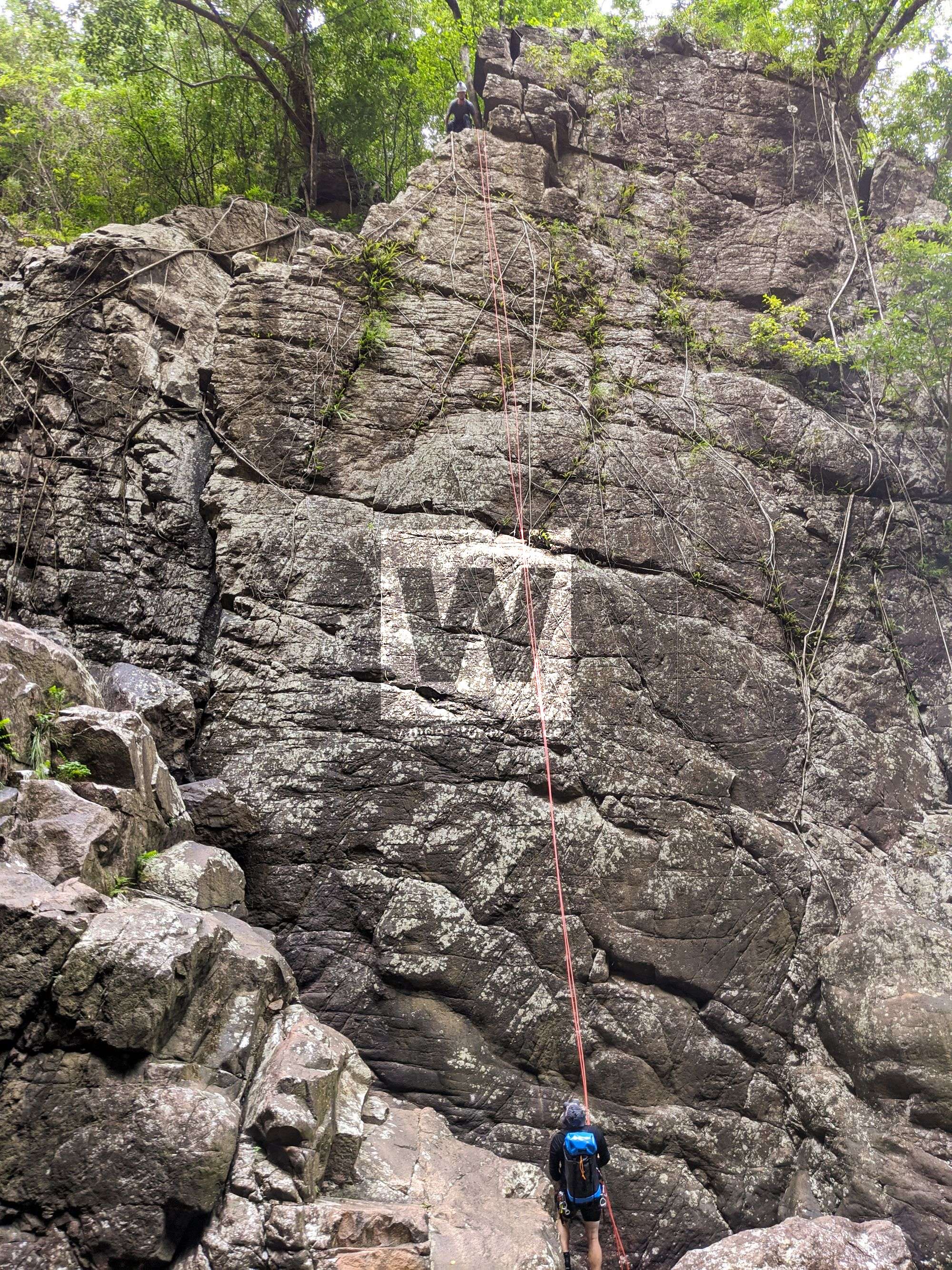
R1 55m NA-TL
Scramble across left to large ledge platform. Rappel down the dry cliff from tree on your left. There is also a fig tree in the centre of the water that would make for a grand rappel but rope retrieval may be an issue.
DANGER 1: Scrambling across left may be hazardous in wet and high flow conditions.
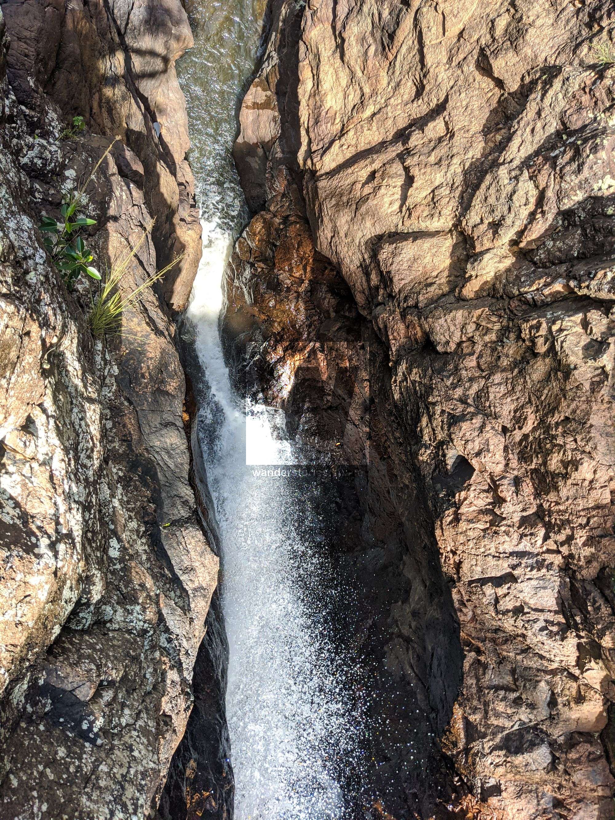
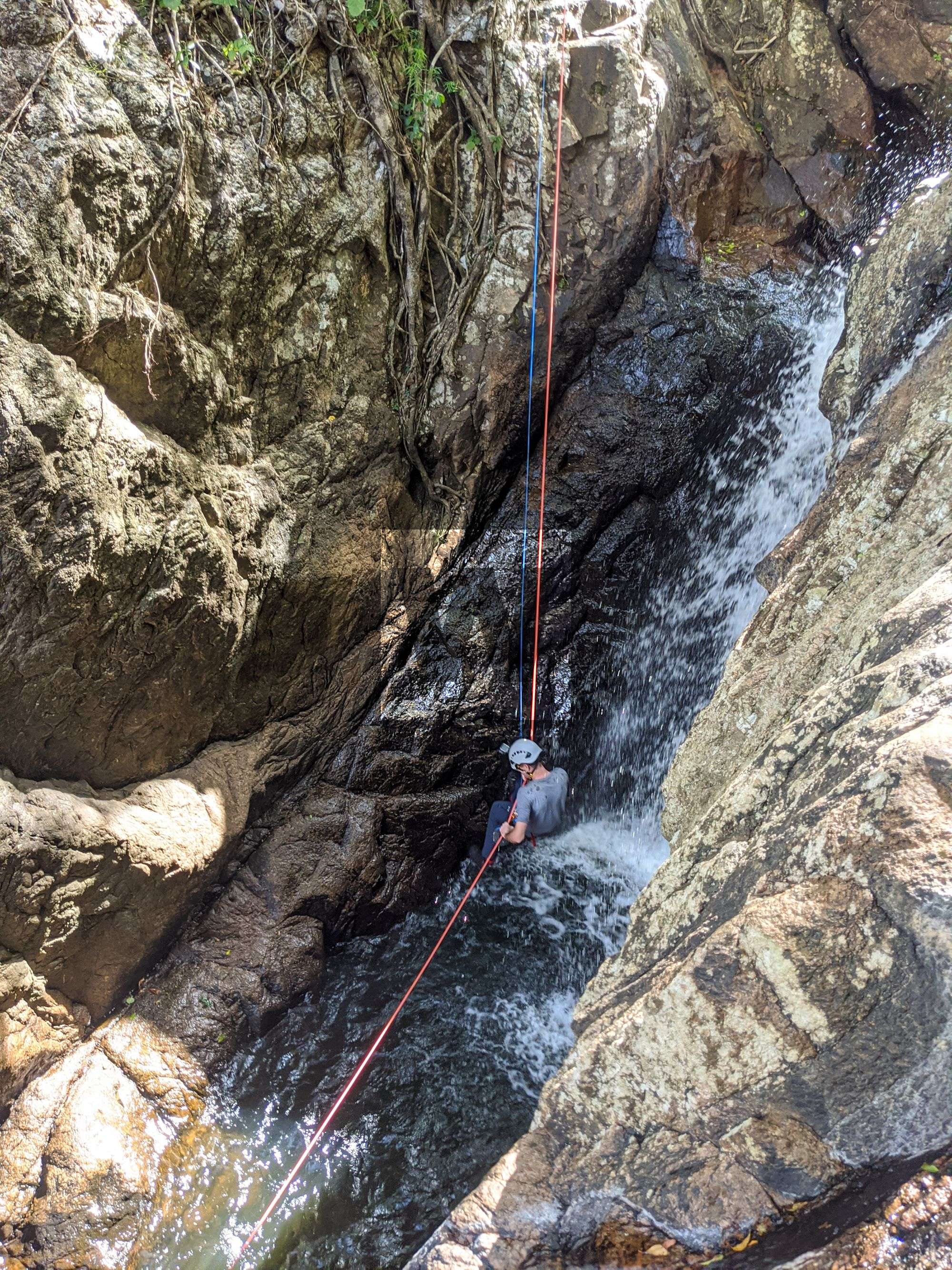
R2 8m NA-TL W
Rappel from tree on left down boulder with a mini-freehang and then down into water. It may be possible to also rappel from the tree on the right.
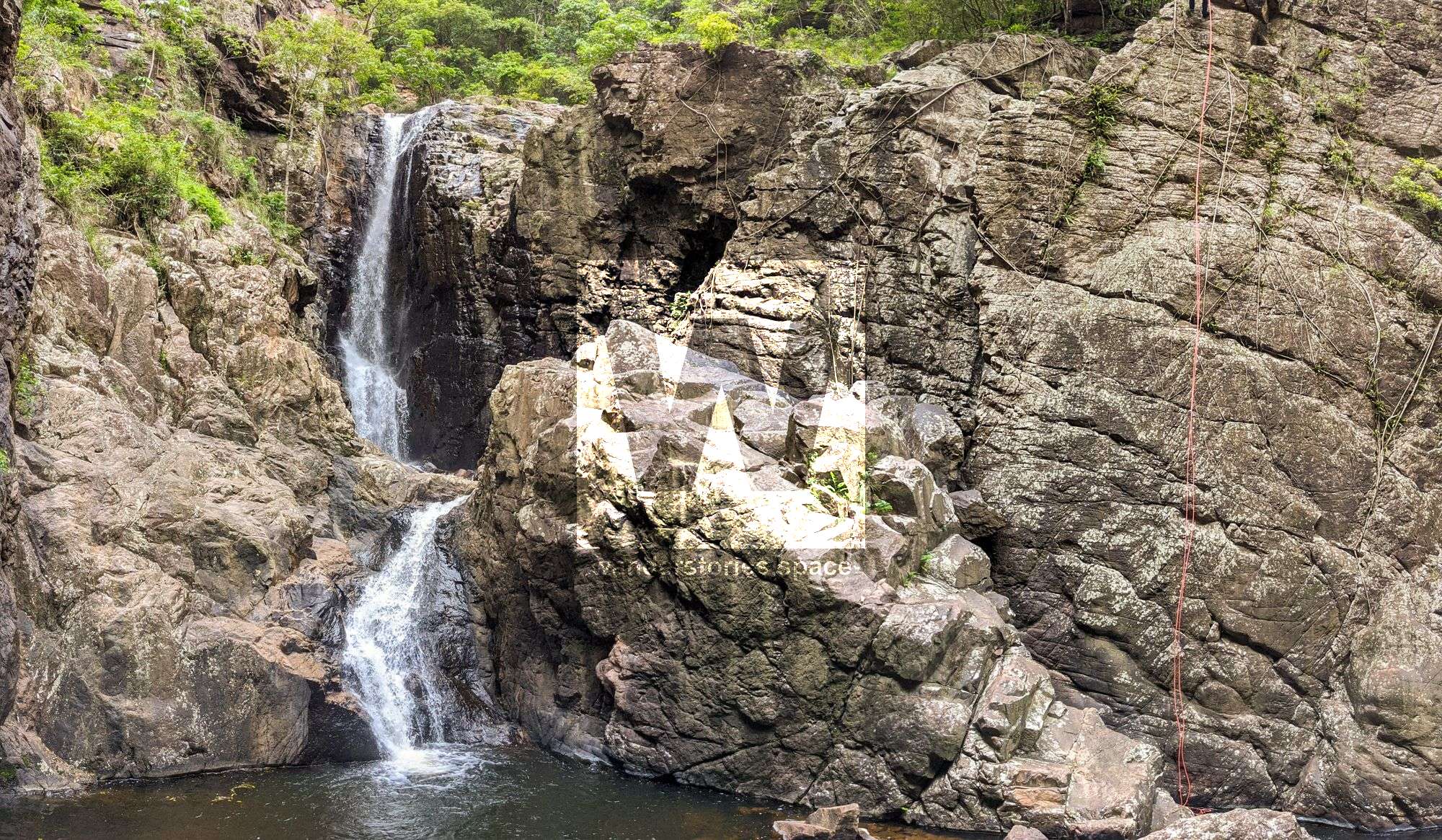
R3 15m NA-TL W
Scramble to large tree on left in a clear line for the waterfalls and slot. Rappel into waterfall and out shute.
The other option is to scramble along the ledge further and rappel away from the waterfall into the pool.
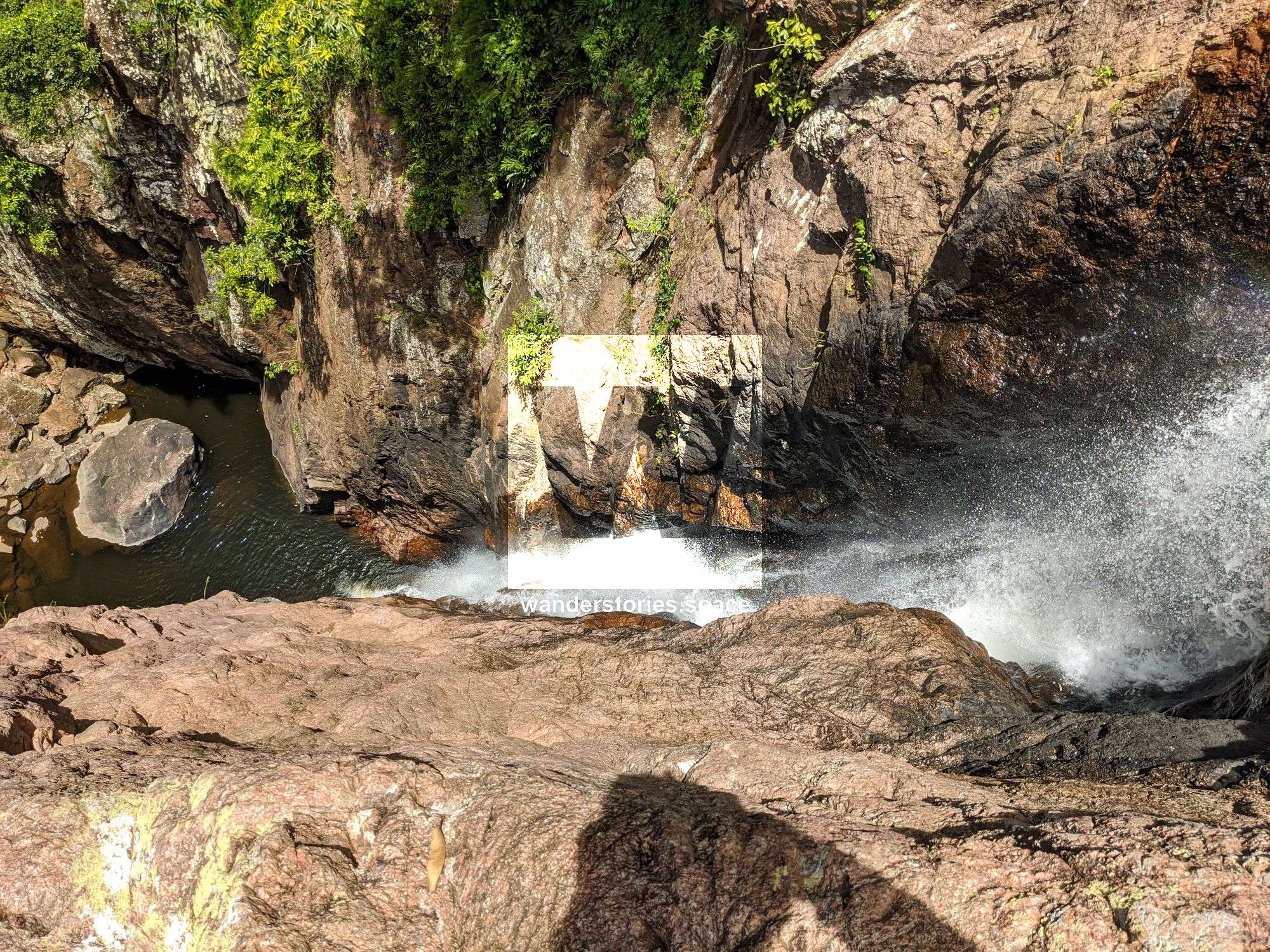
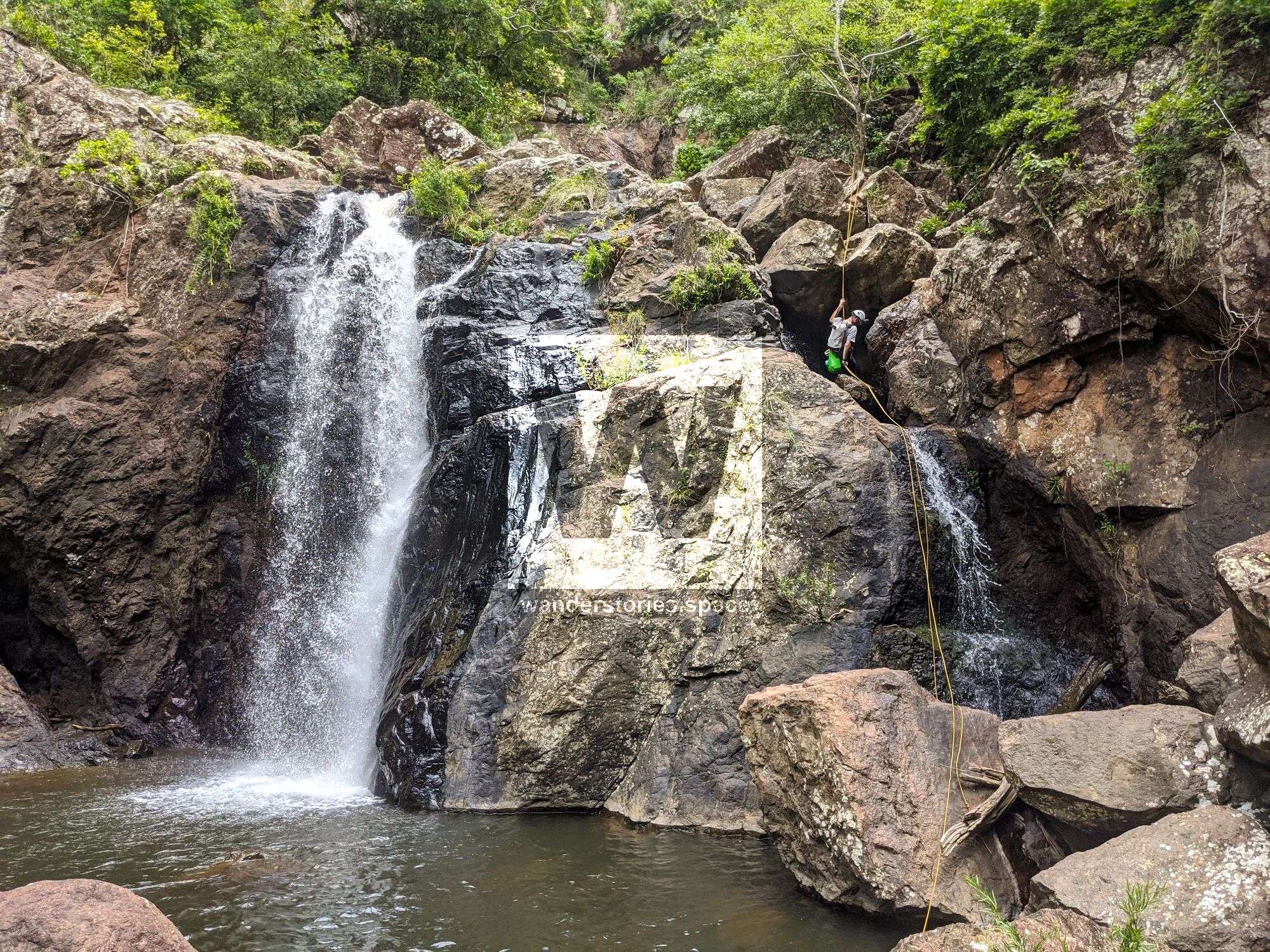
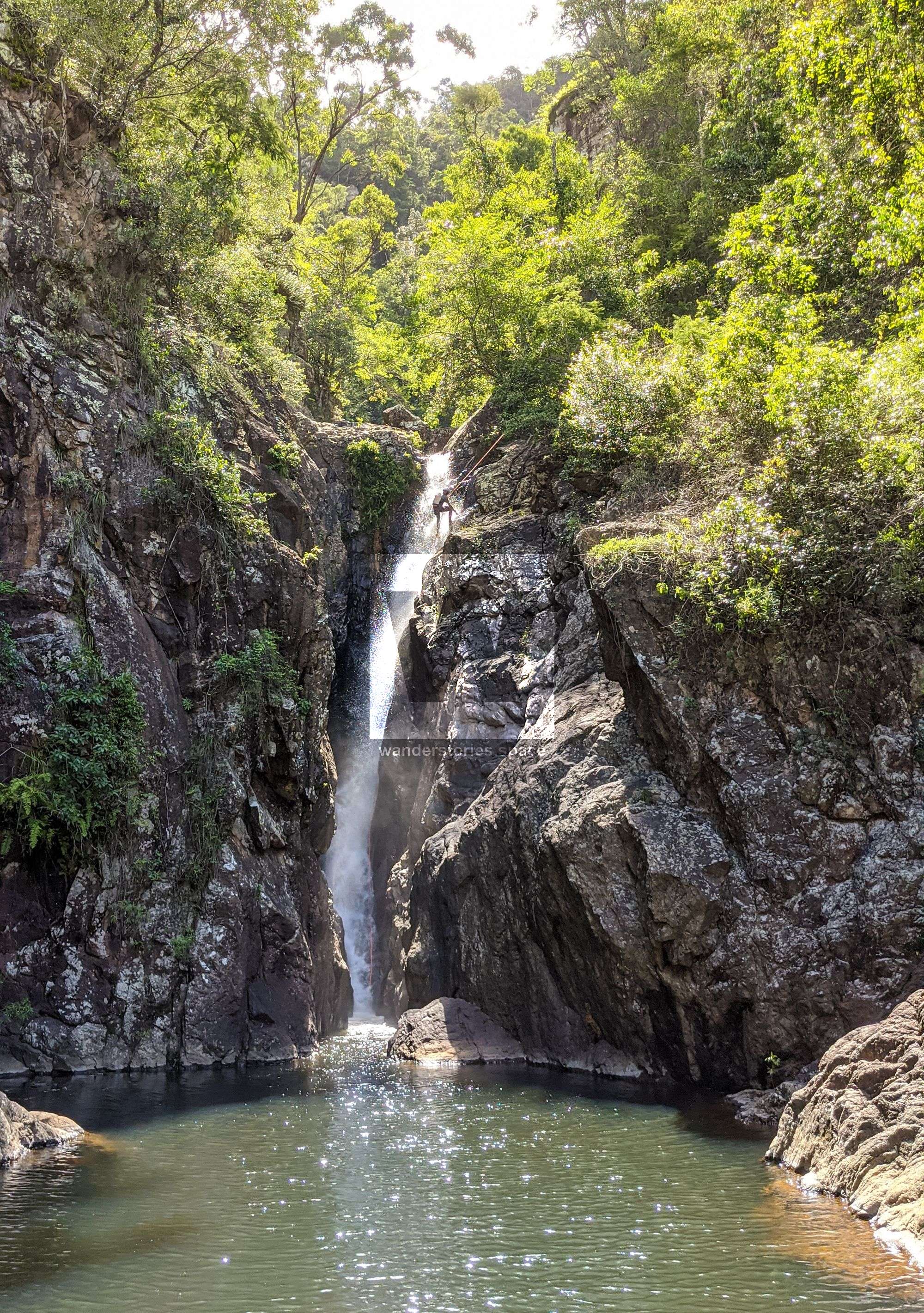
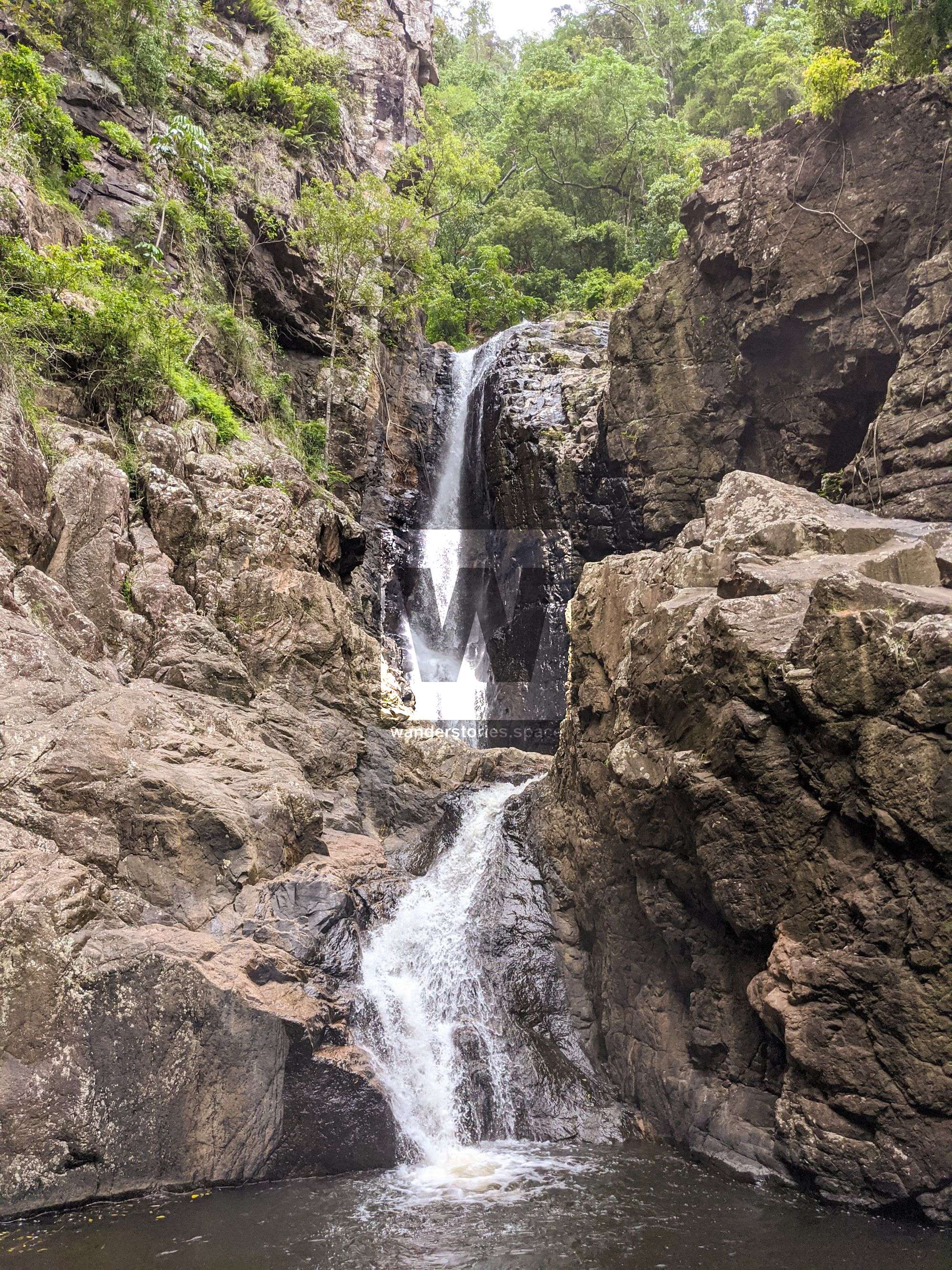
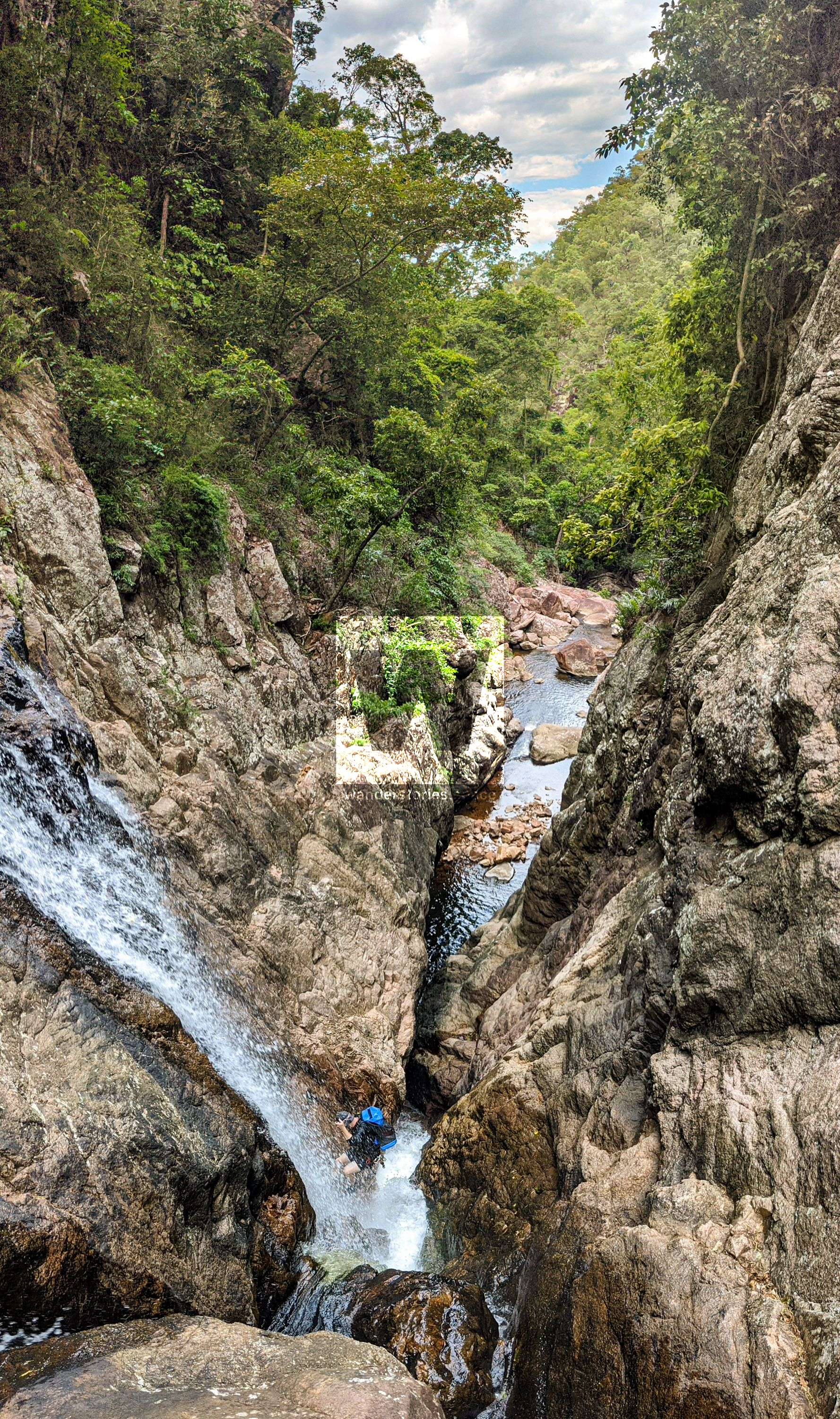
R4 60m NA-TR W - Triple Falls
Throw rope over horizontal tree branch. Rappel all three falls to large pool at base. There were no trees to anchor from further down so need to rap the three pools in one. There may be some cracks / edges for natural anchors though.
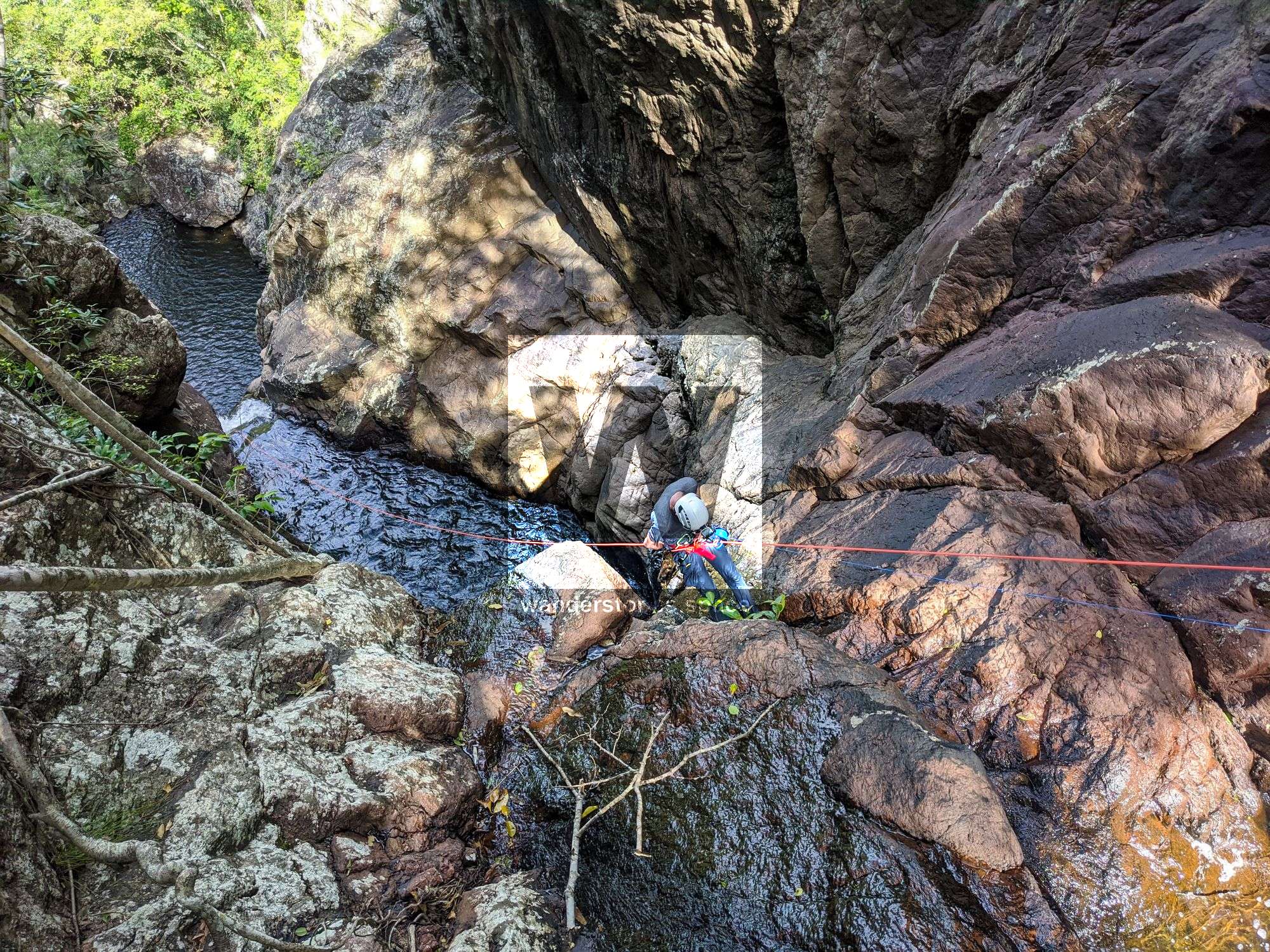
R5 6m NA-TR W
Scramble up right to tree avoiding the stringing trees (gympie gympie). A short rapple into water.
DANGER 2: Climbing grade 5 up past gympie gympie to tree. Serious injury if fall.
R6 25m NA-TL
Scramble left down slippery ledges to far tree. Rappel down dry cliff to small boulders. Optional to rappel from tree near waterfalls but may have issues with rope retrieval.
DANGER 3: Slippery ledges
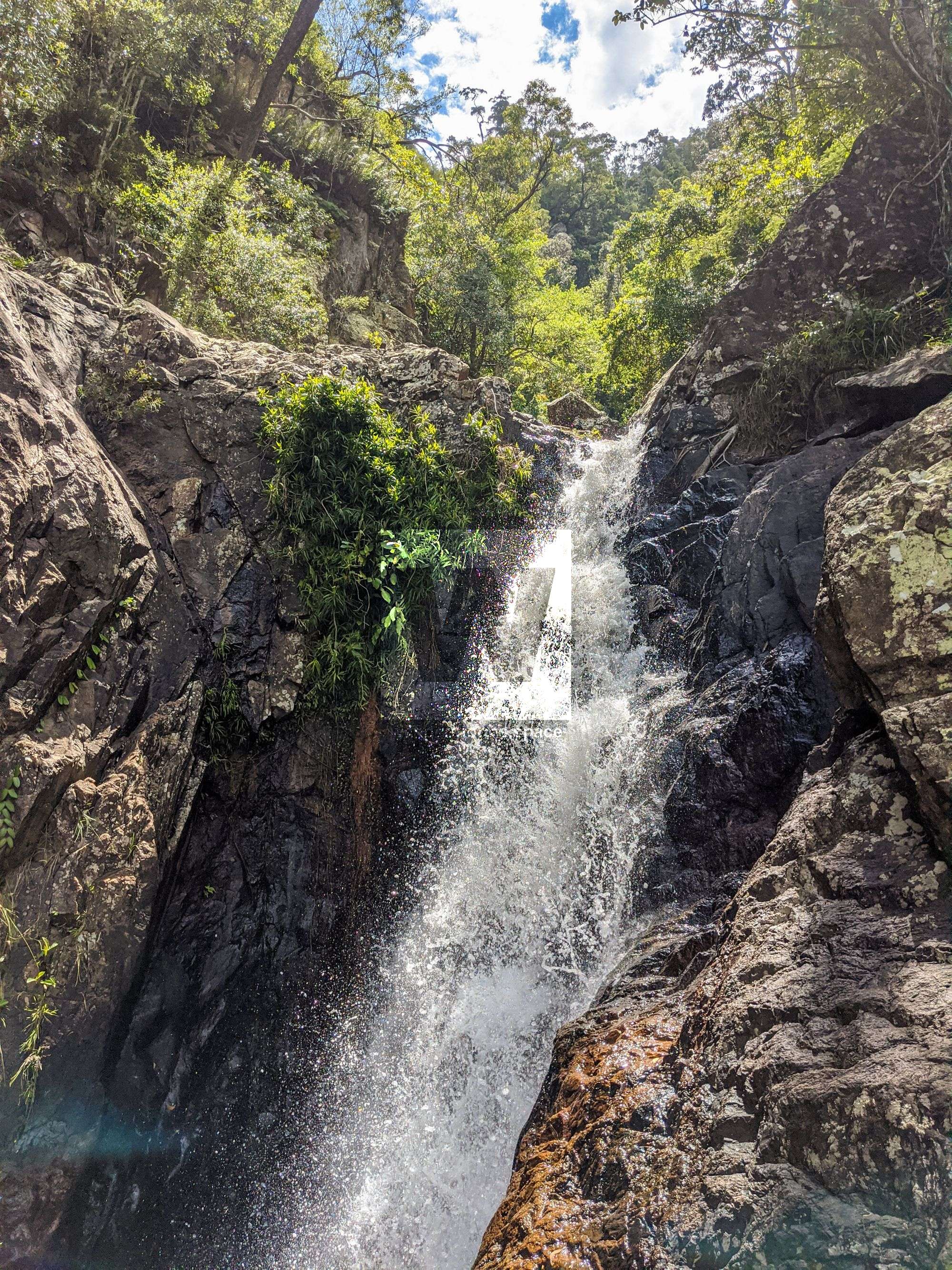
R7 15m NA-TL W
Rappel from tree on left down into waterfalls. Care of the slippery rocks. Continue down past constriction to wet ledge.
R8 10m NA-TL W
Rappel from tree on left into large pool below.
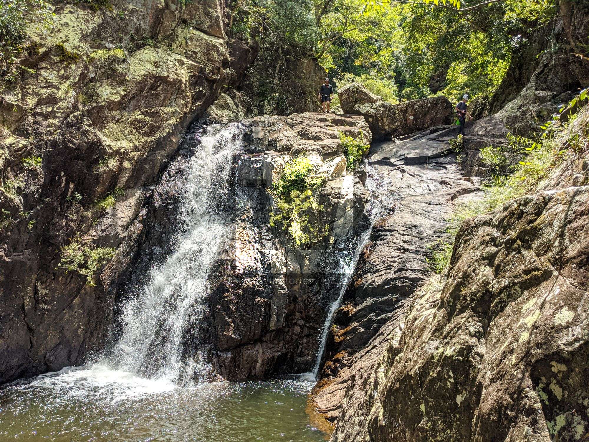
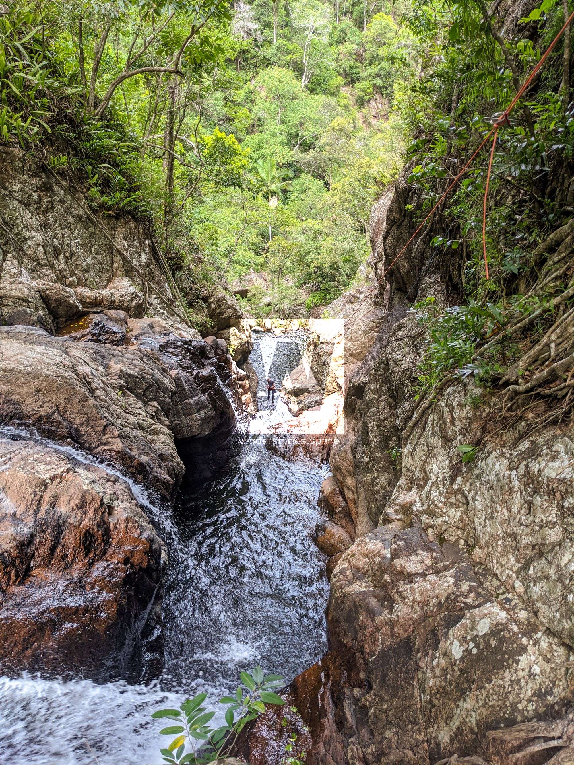
Exit
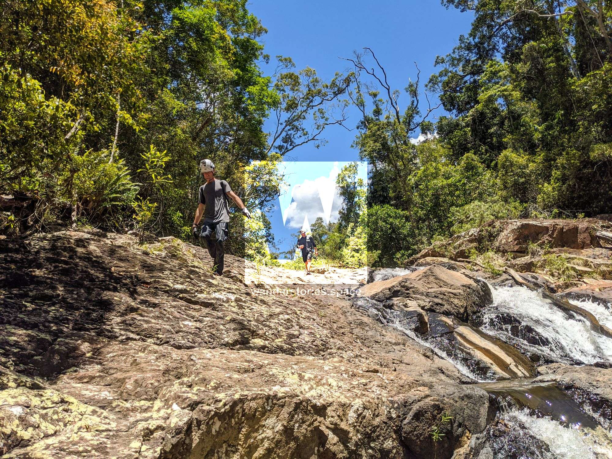
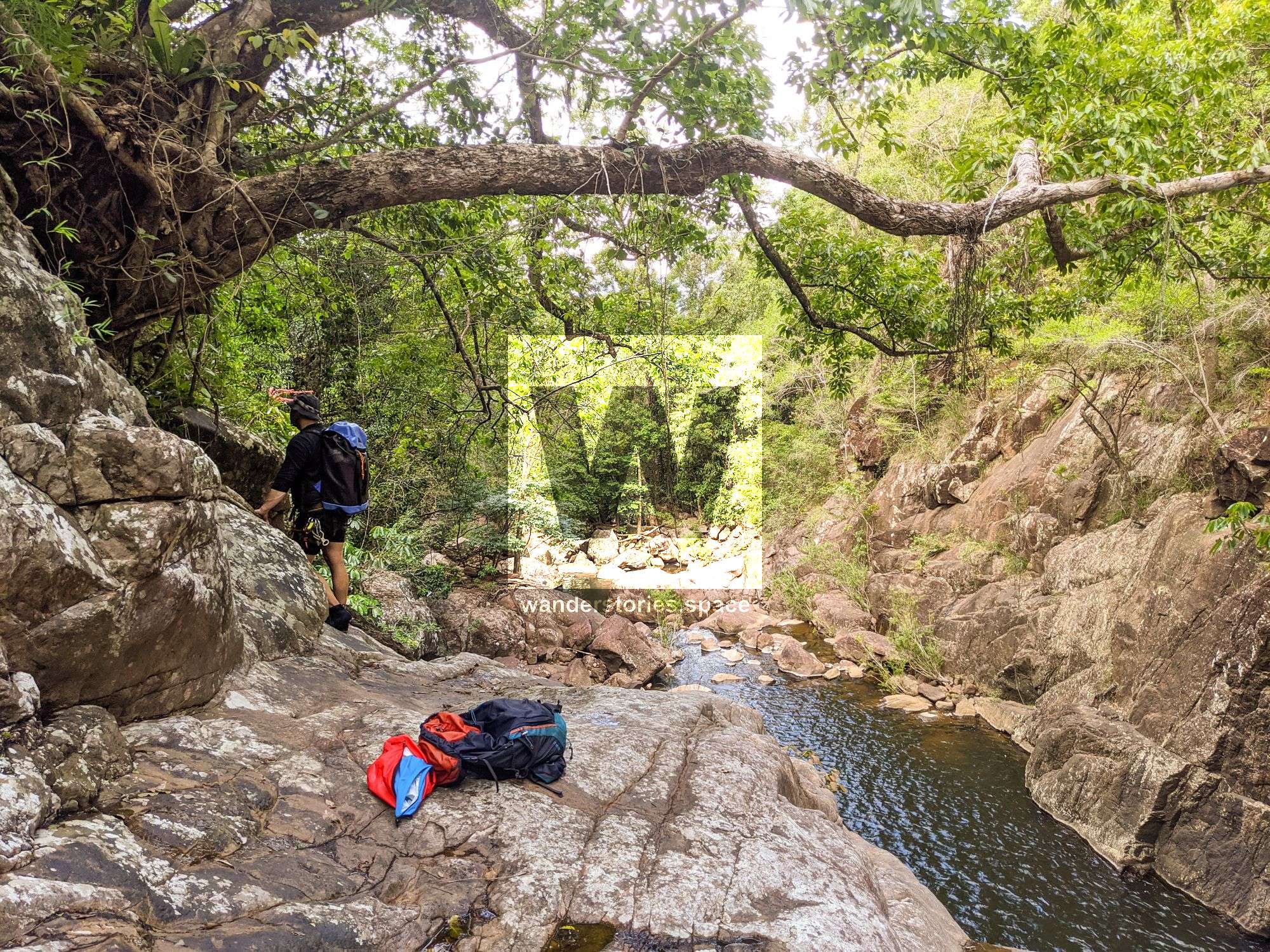
Continue to rock hop down the creek, over the large boulders with some optional cliff jumps. The rocks will become smaller and you will soon reach the ridgeline where you exit the creek. Last water.
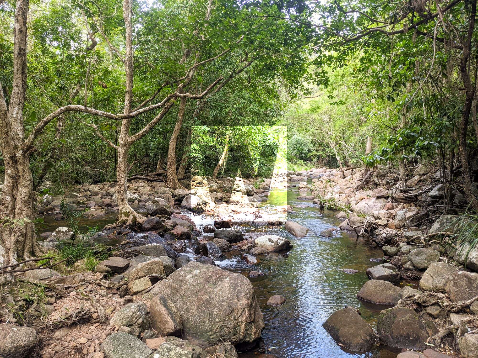
Hike up the ridgeline to the dirt road. Cross the dirt track and continue down the ridgeline to the well-maintained dirt road to where your car is parked.

WHAT YOU WILL NEED
- Experience in abseiling (there are some technical challenges)
- Enough rope for a 60m rappel
- Rappel devices, prusiks, and webbing
- Grippy shoes on smooth, wet granite rocks
- Helmet
- Backpack
- Food and snacks for the day
- About one litre of water to hike to the top and a way to sterilise your water from the creek
Anchoring notes
There are various natural anchors throughout the canyon, however, it is not unusual to come across damaged trees, especially after large flooding events. Please use sound judgement when considering previously installed anchors, like tape slings, ropes, and other textiles. There are no bolts in this canyon.
Surfaces
Along the route there are various sections of wet, slimy, and dry rock, as with all canyon environments. Please be mindful of your traction and regularly test your grip throughout the route as you cannot rely on the colour or texture of the rock to determine its safety against slippage. Take caution when near cliff edges.
Experience
No responsibility or liability is taken for any harm, death or loss of property resulting from the use of this article. You must carry anchor building materials, be experienced and use your own judgement when canyoning. Flooding events can strip anchors and change the canyons layout and conditions. Improper and insufficient experience will result in serious injuries or in many cases death. Always respect all signs you encounter and take everything in you brought with you.
Please read the Beginners' tips for canyoning in North Queensland article.
See our general disclaimer that includes canyoning.
Canyoning Topo
This canyoning topo is for illustration-purposes only.
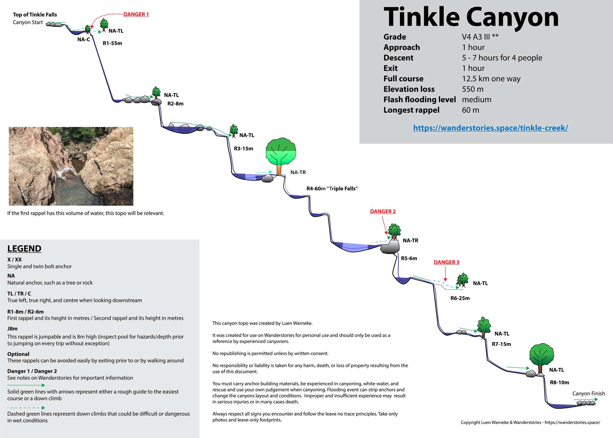
Legend
X / XX - Single and twin bolt anchor.
NA - Natural anchor such as a tree or rock.
TL / TR / C - True left, true right and centre when looking downstream.
R1-8m / R2-6m - First rappel and its height in metres, second rappel and height.
Optional - These rappels can be avoided by exiting prior or walking around.
Please note that an activity permit may be required in national parks.
If this information is outdated or you would like to make a correction, please contact us.
This article, and all other articles, are for entertainment purposes only and are not to be used as a guide. Please see our Disclaimer for more information.