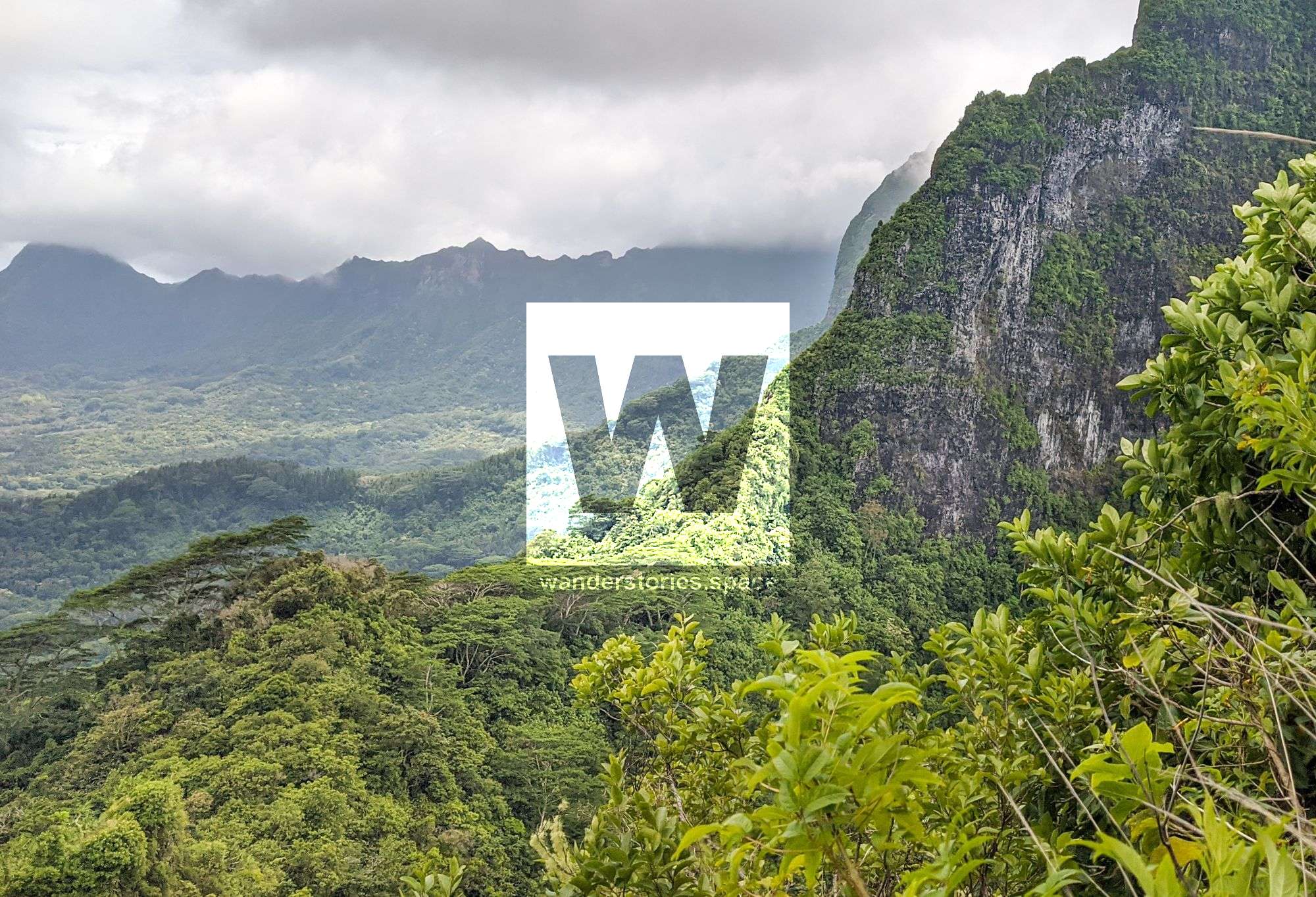
Uufau Pass (Col de Uufau) - Ha'apiti to Amehiti
The Uufau Pass, also known as Linareva Pass (Col de Linareva), passes between Mount Mou'apu and Atiati near Mount Tautuapae and provides yet another possibility of crossing Mo'orea north to south.

Location - Ha'apiti to Amehiti, Mo'orea, French Polynesia
Duration - Allow 4 hours
Distance - Approximately 5.5 km
Difficulty - Strenuous
The Uufau Pass, also known as Linareva Pass (Col de Linareva), passes between Mount Mou'apu and Atiati near Mount Tautuapae and provides yet another possibility of crossing Mo'orea north to south.
Interactive Map
From Ha'apiti (south), a blue mailbox marks the start of the easement about a hundred metres from the Pension Linareva. The dirt road run parallel with the Uufau Stream. Walk up the road passing some houses and dogs. The road then crosses the stream and a small weir on the right. The road then forks, right is private property.
Continue along the unmaintained track crossing several small streams and the track narrows. The track then passes through mape trees (Tahitian chestnuts) where it may be hard to follow as it's not well used. The track then steeply ascends to the pass. The pass is on the ridge just to the right of the saddle at the foot of the impressive Mount Mou'apu. Views over the Vai rahi valley.

The route takes about 45 minutes to ascend to the saddle.
At the top, a fairly wide and wooded plateau with a couple coconut palms but due to the vegetation, there are no clear views. You can still see the lagoon to the south. To the north, there are just the points that dominate Opunohu, but the bay remains hidden.
For a slightly better view, continue along the ridge towards Mount Atiati (749 m) (northwest) where a small bump elevates you enough for a view. It is also possible to summit Atiati via the ridgeline and contouring around the cliffs to the right when too steep - though this is not recommended.
Views of Mou'aputa can also be seen from many vantage points.
The trail then drops down the other side of the saddle and traverses right, contouring around to the ridgeline. The trail then head straight down Opunohu Bay where you will arrive beside a stream (and weir) and onto the unmaintained dirt road. It is difficult to follow and is seemingly used less than the southern track. White and red tape is very sparse.
This article, and all other articles, are for entertainment purposes only and are not to be used as a guide. Please see our Disclaimer for more information.
