Bambaroo Track
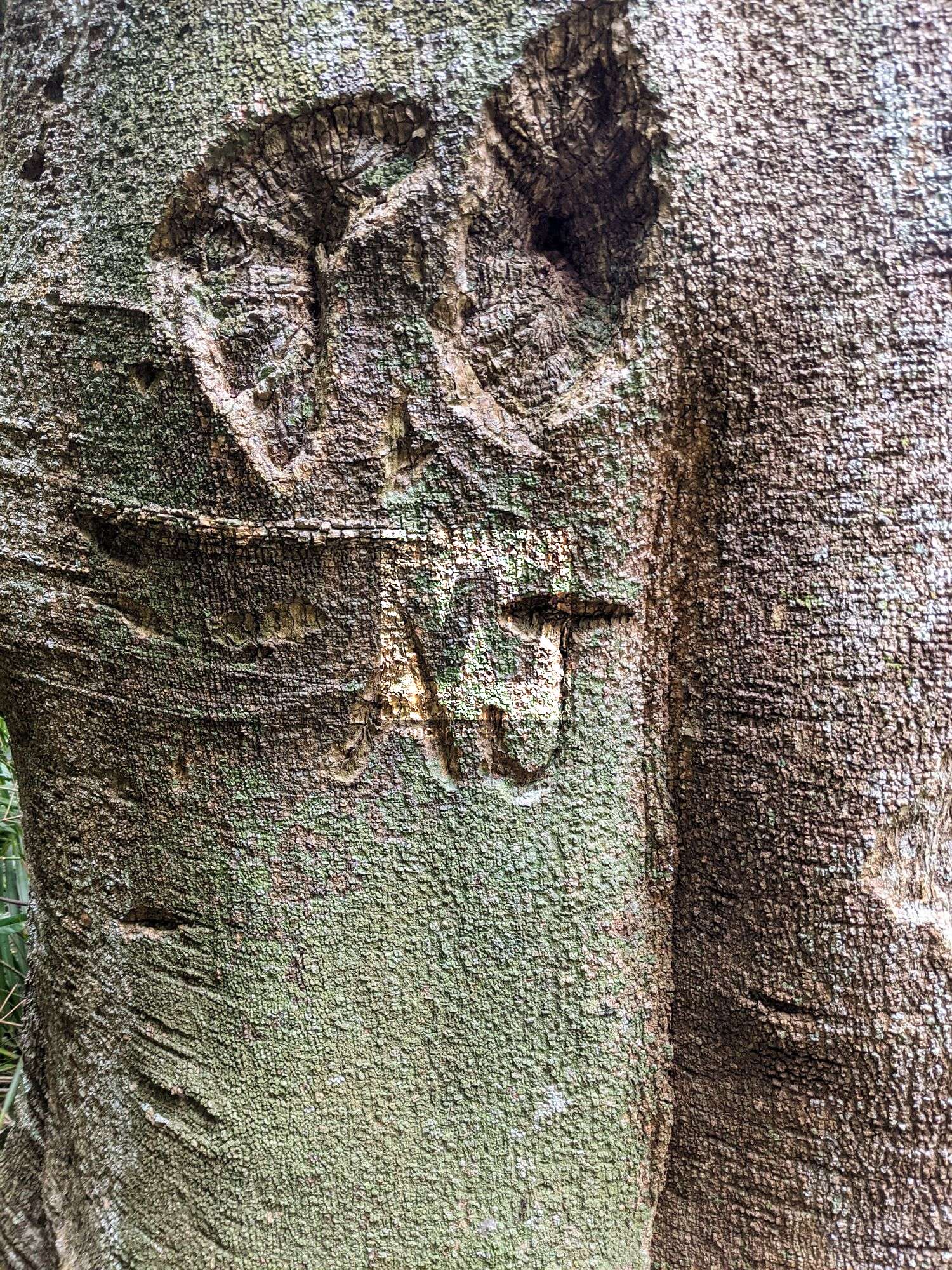
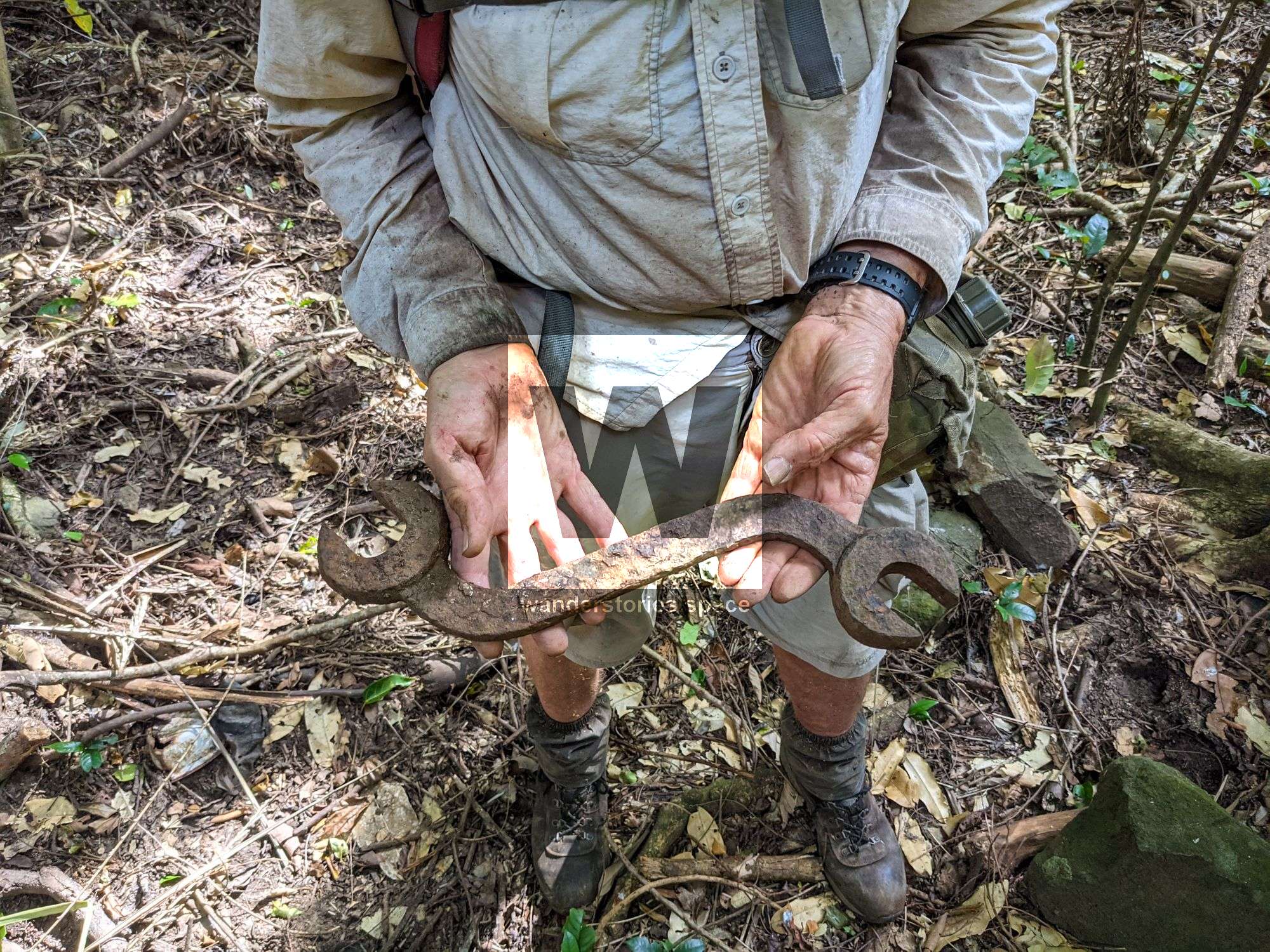
This track takes you from Paluma Dam all the way down to Ellenore Creek next to the Bruce Highway. It passes through an old tin miners property where you can still see a few old bottles laying around.

Location - Paluma Range National Park, North Queensland, Australia
Track - Paluma Dam to Ellenore Creek, Bruce Highway
Distance - Approximately 17.5 km one way
Time - 6-8 hours
Grade - 4
This track is one of the many trails at Paluma National Park.
There are a bunch of tracks up at Paluma thanks to the old tin mining days and volunteers re-cutting and maintaining them.
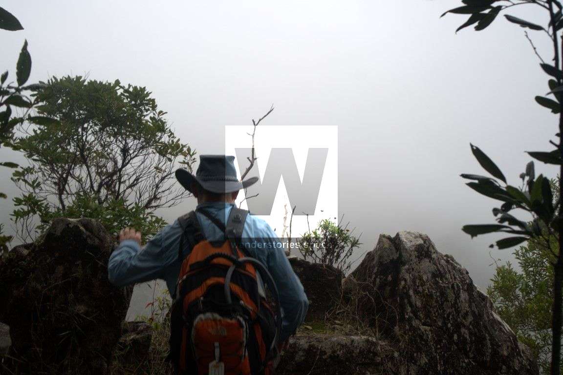
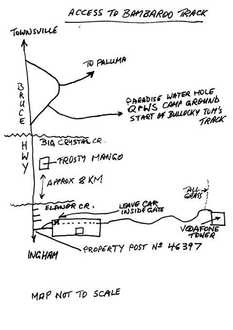
The track takes about 6 hours in total and will take you from the Paluma Dam to the Coolbie area. Park your car just north of Ellenore Creek, near the VODAFONE Tower road. It's the 4th driveway from Eleanor creek when driving north. On your way down the range, stop off at Gardes' Lookout for a pretty view and a place to rest.
There are no creek crossings for most of the Bambaroo Track – The last water is a small creek approx 1 to 1.5 km from the turn-off from the main track to Shay's Clearing. The water point is off the track (not a creek crossing) on the left-hand side going down the range, you have to keep an eye out for it, the track does a 90-degree turn to the right, the water is 90 degrees to the left about 20 metres along a sidetrack. As there is no water for the rest of the walk, it pays to leave some water in the car at the bottom in case anybody runs out.
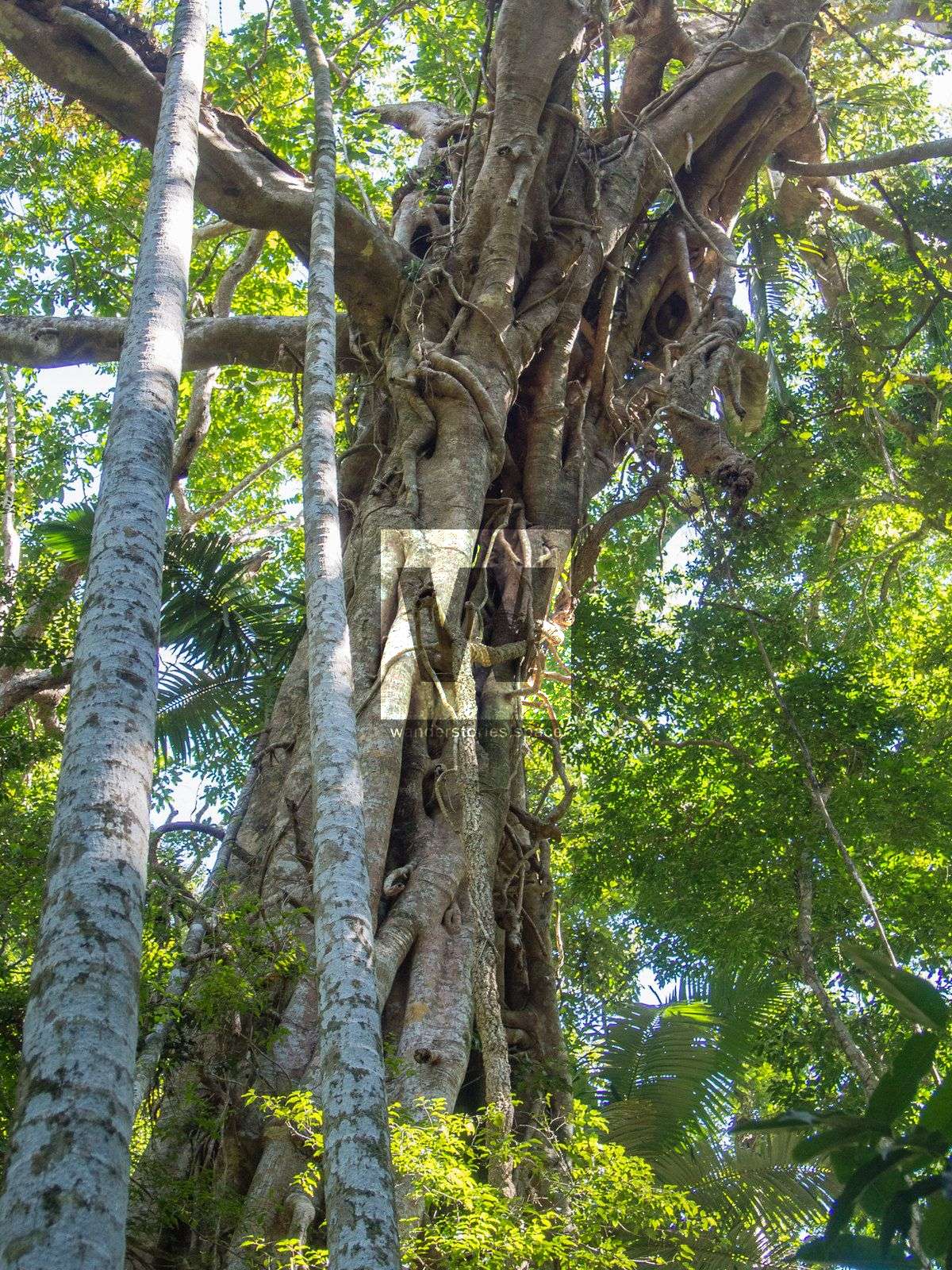
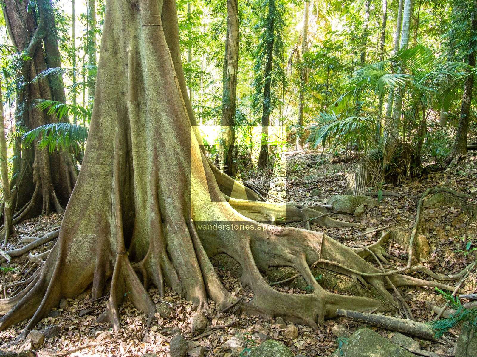
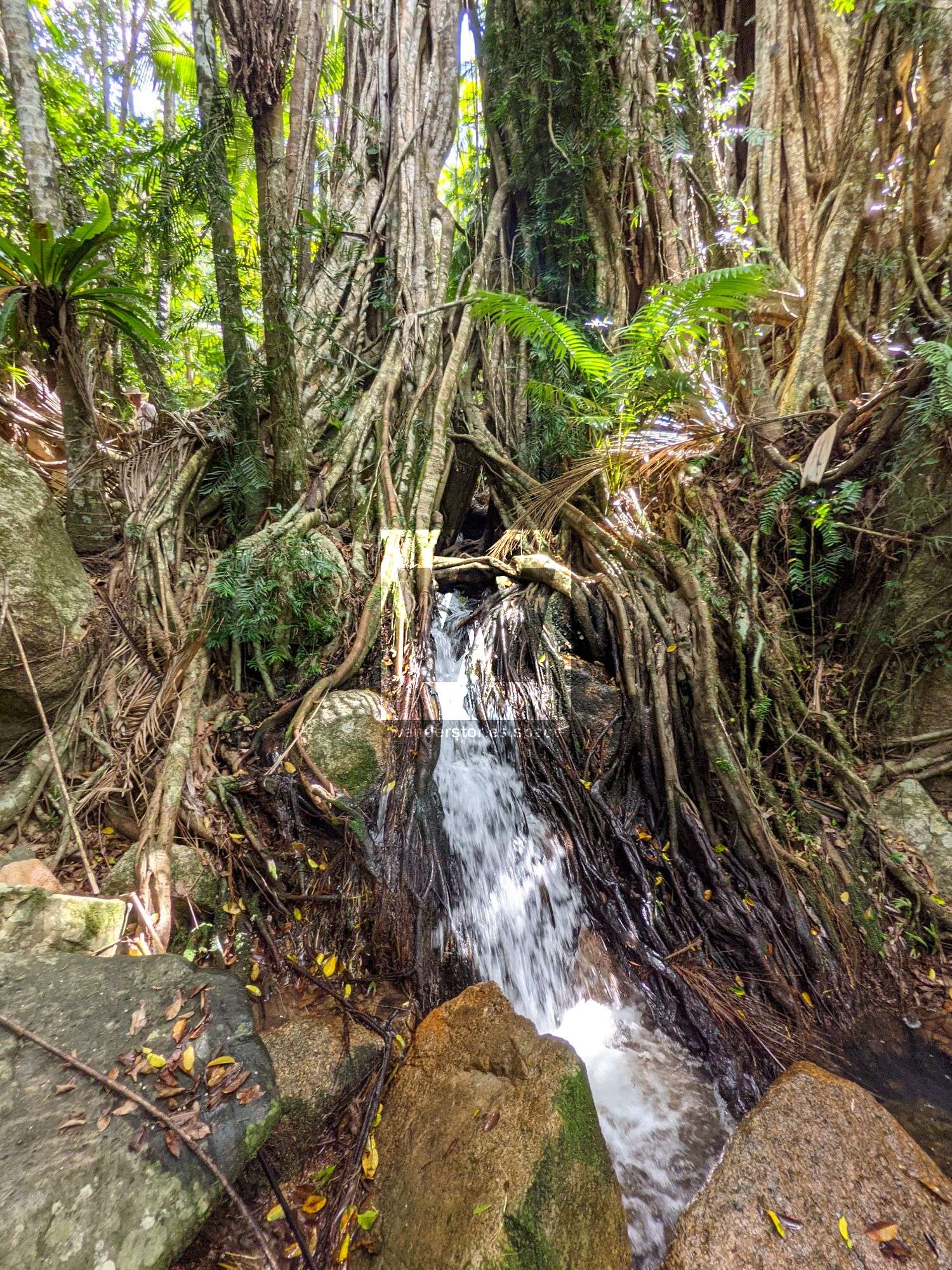
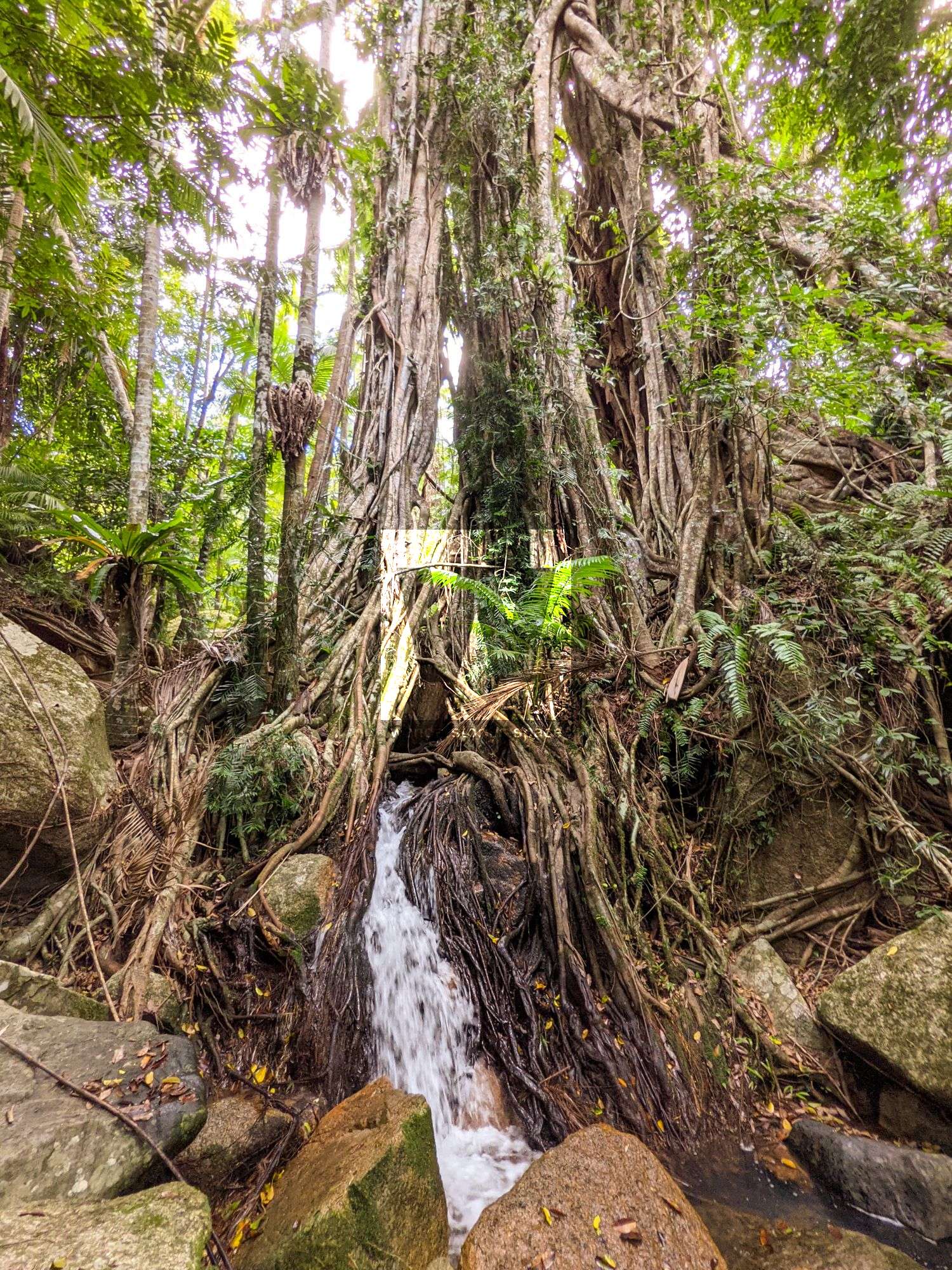
Just off the main walking track near the bottom are a few massive fig trees that are worthy of a visit. The short track leading to the largest one is marked with a large rock cairn against a palm tree.
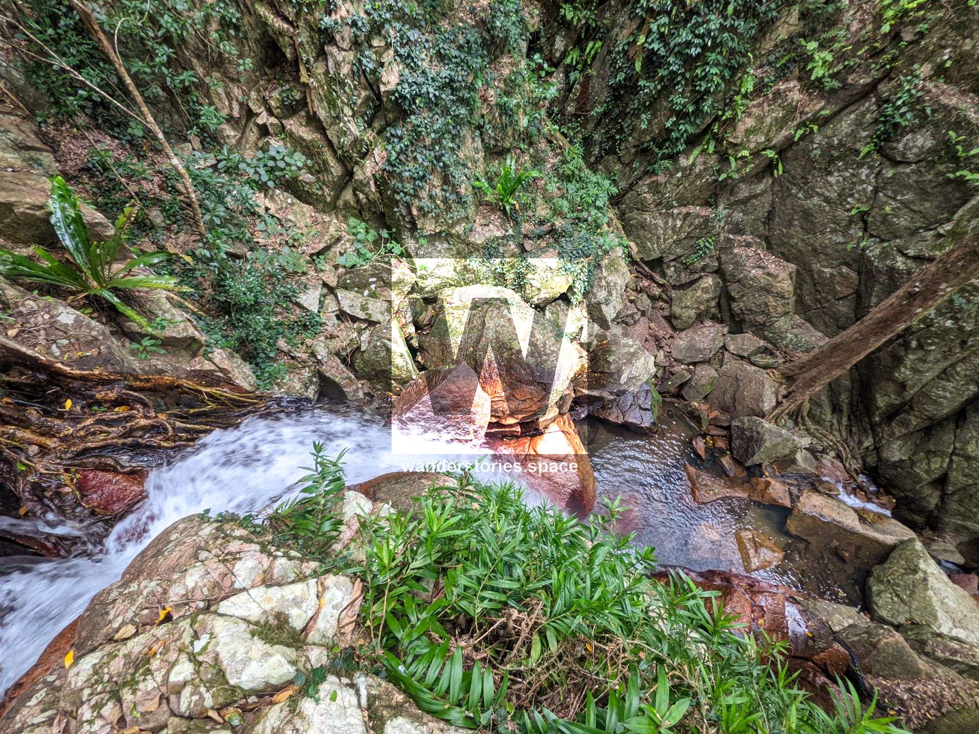
Past the old tin miner property and near the saddles is a new track that goes down to a water point in Insulator Creek. From this water point, Fig Tree Falls is 100 metres upstream and Insulator Falls is 150 metres downstream.
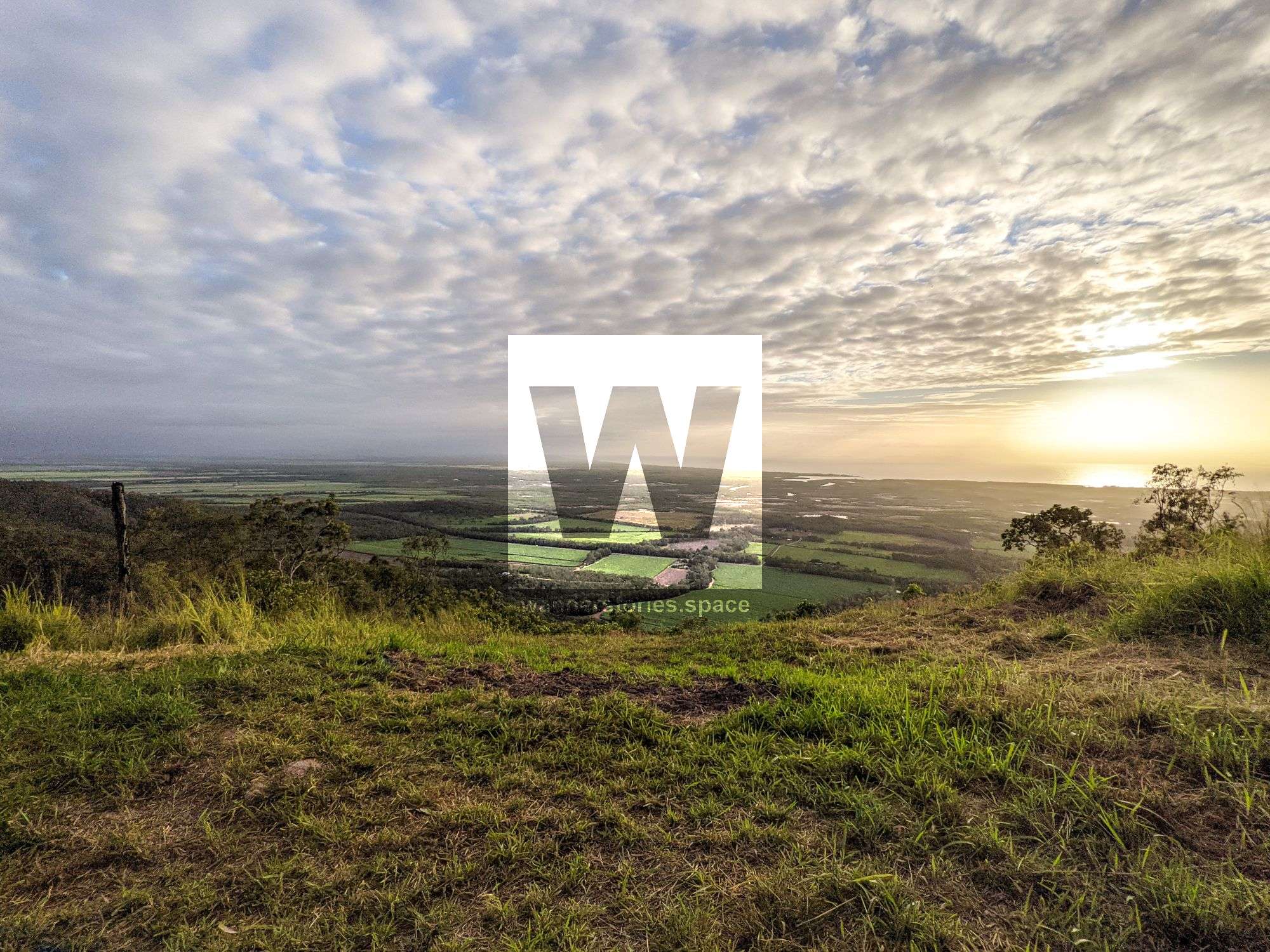
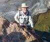
Lookout at the end where the hang gliders launch.
What to bring
- I recommend carrying about 2L of water but there are a few creeks along the way to fill up (you may want to treat your water [boil, UV, chemical, filter])
- Carry snacks and food for the day
- A first aid kit and a PLB
- The path is well marked and clear so it's easy-going
- Change of clothes for the car ride home (optional)
Interactive map
Here's an interactive map of the hike:
Mud map
What's the most rewarding aspect?
The variety of the environment, and being able to experience the Wet Tropics.
What is the best time of year to go?
Anytime, but the cooler months of the year are best. After heavy rain, the creeks may not be passable.
Things to consider
- Check the weather before you go.
- It is a remote area and you will not have mobile phone reception for most of the hike.
- You will need to carry a first aid kit, PLB (EPIRB), and be self-sufficient in a remote hiking area.
- If staying at the night at DCK Shelter (private property), you will need to contact the owners and book with them!
Anything else to know?
The formed marked tracks are not (yet) official QPWS tracks and are not published nor maintained by QPWS. These trails are maintained by volunteers.
This article, and all other articles, are for entertainment purposes only and are not to be used as a guide. Please see our Disclaimer for more information.