North Creek (Sandy Creek)
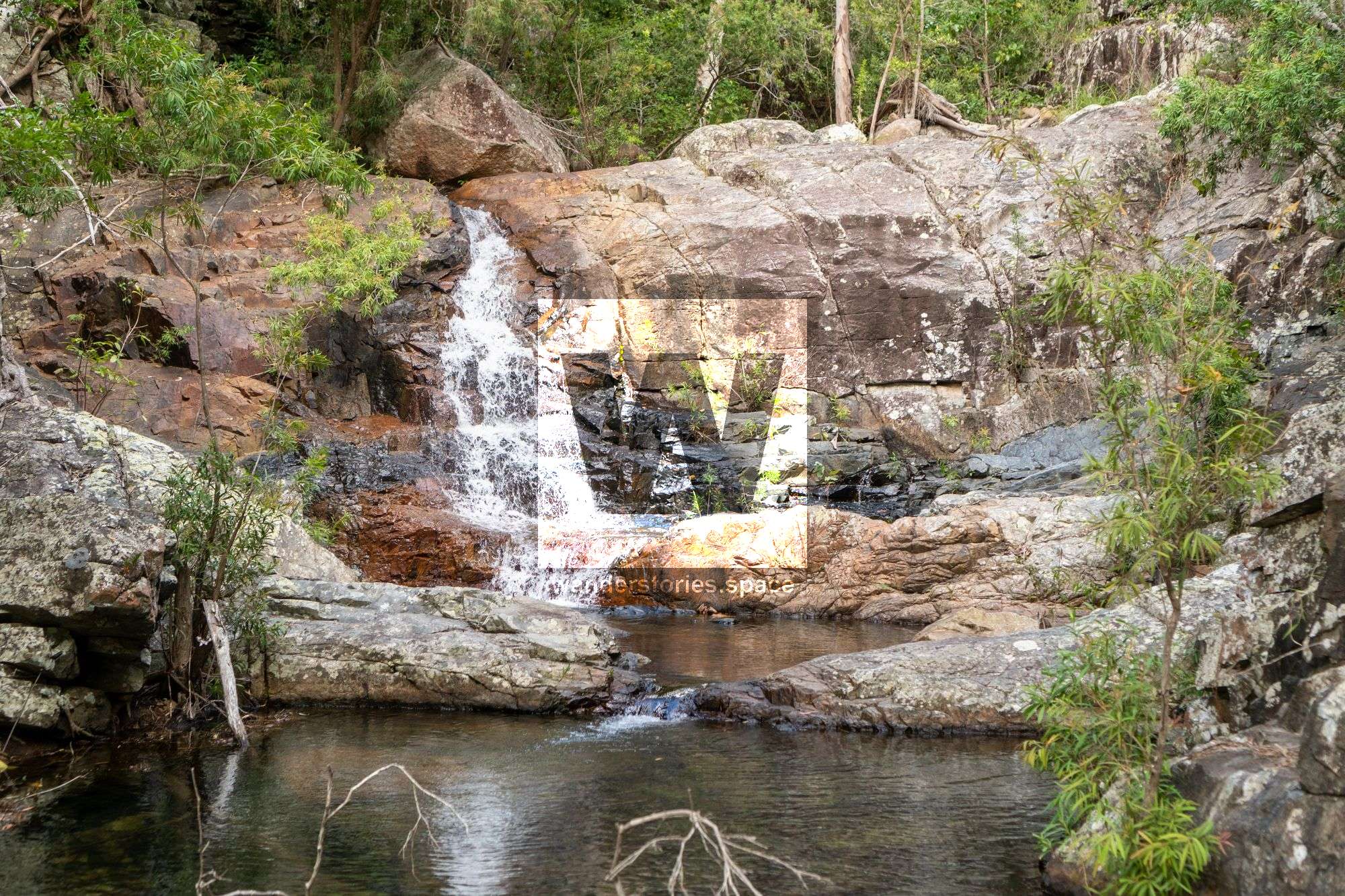
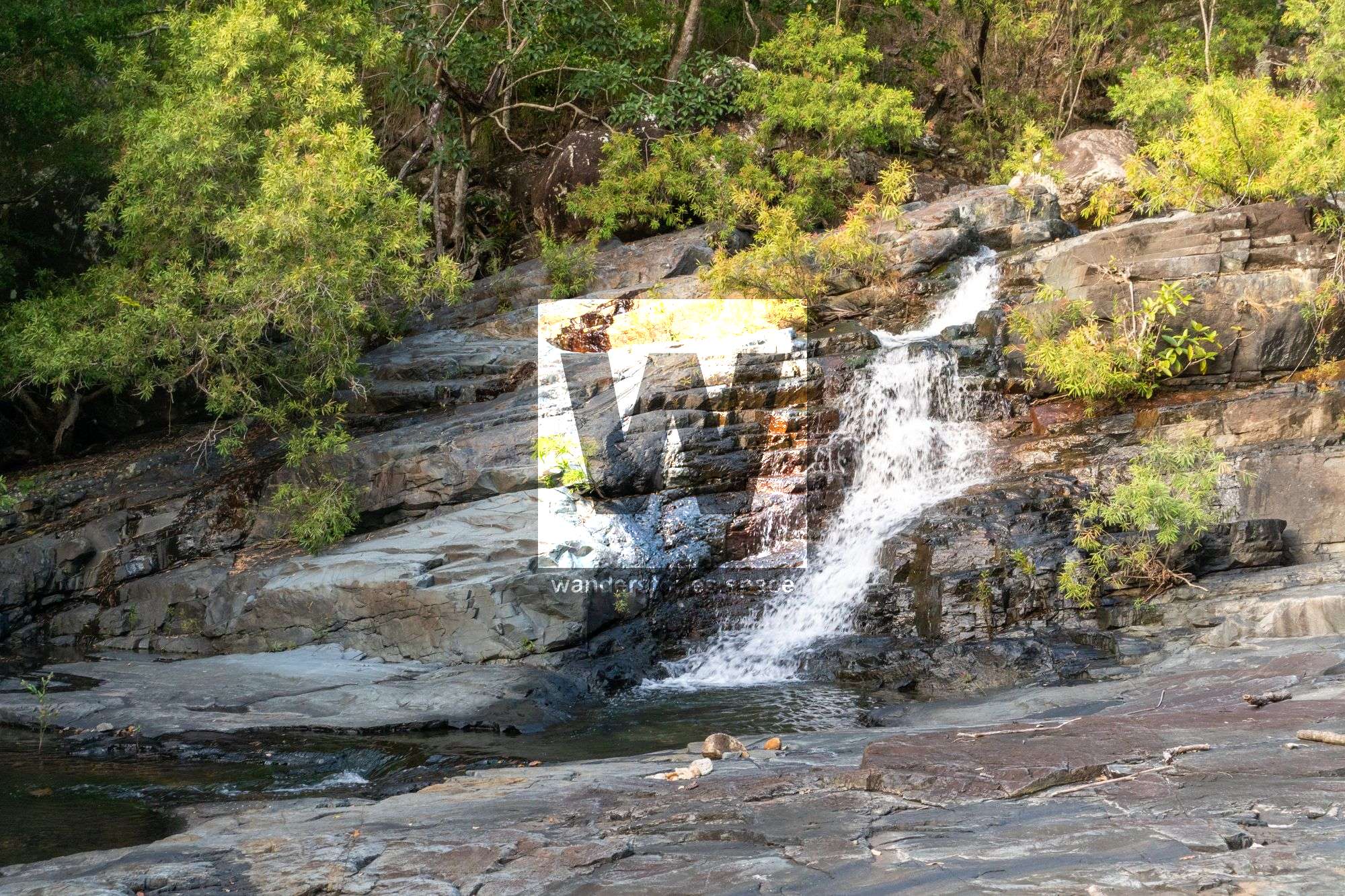
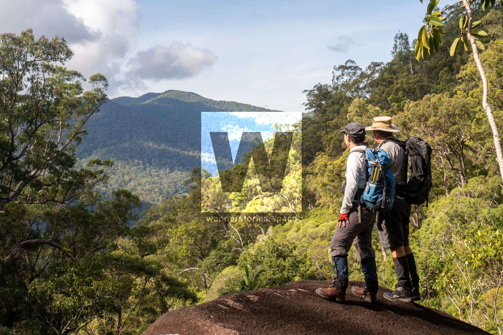
This rock hop, boulder scramble and bush bash is a good beginners walk and might earn you a sense of accomplishment. The mountain creek scenery, views and swimming pool at the top falls makes for a nice hike.

Location - Bowling Green Bay National Park, North Queensland, Australia
Distance - Approximately 11.5 km return
Time - 4-6 hours return
Difficulty - 5, off-track hike with rock hopping and rock scrambling
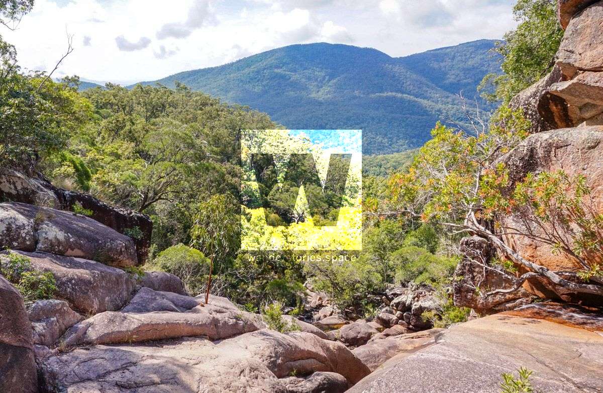
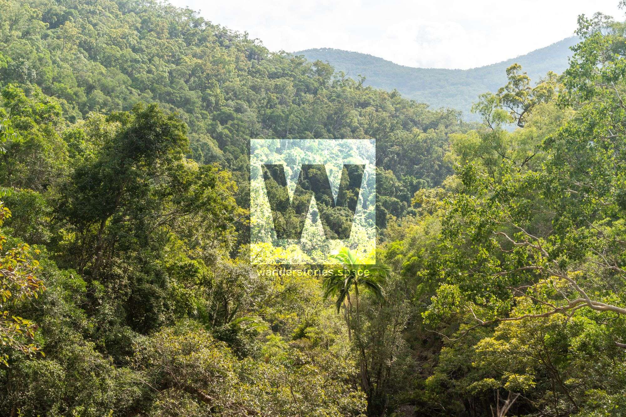
This rock hop, boulder scramble and bush bash is a good beginners walk and might earn you a sense of accomplishment. The view and swimming hole at North Falls / Sandy Falls are quite a nice place to visit. The section of creek between the fig tree pool falls and the top falls is fairly rugged. It is only 873 meters as the crow flies (but with a 200 metre elevation increase), and takes up to one hour of steep bush bashing to get around the large boulders and drop-offs - unless you're a skilled boulderer. This walk provides a few good waterfalls and mountain creek scenery.
In the 80s and 90s, this route was an introductory walk for the Townsville Bushwalking Club. In fact it was a popular and one of the easiest routes to the top of Mount Elliot.

There are a few fantastic day walks you can enjoy:
- Walk up North Creek with the ridgeline and down the spur into Cockatoo Creek via Cockatoo Rock.
- Walk up North Creek to the saddle and then down Alligator Creek on the other side, back to the track via the Alligator Creek Falls.
How to get there
Started walking early from Alligator Creek day-use car park. Walk past Cockatoo Creek along the track and take the right to go along the powerline maintenance track to reach North Creek. Up the creek rock hopping to reach first waterfall, climb the rockface to reach next waterfall and a short break. Up the next rockface, in the next hour there are several good waterfalls and rock faces to climb, the usual the Townsville Bushwalking Club (TBWC) route. At the fig tree pool and waterfall there are two options, to go up or go around. It is recommended to go along the right side rock face which saves time and negates a scrubby scrambly bush bash.
Creek's Large Boulder Field
From here there's 873 metres to go, 200 metres up and now the hard slog starts. Continue along the creek, which gets bouldery now, always climbing. The TBWC usually exit the creek around here to get to the western ridgeline (a.k.a. Horse Ridge) and the 'easier' route. But if you are good at climbing and have good weather on your side, continue into the boulder field - they will get bigger and the creek gets a bit harder to progress.
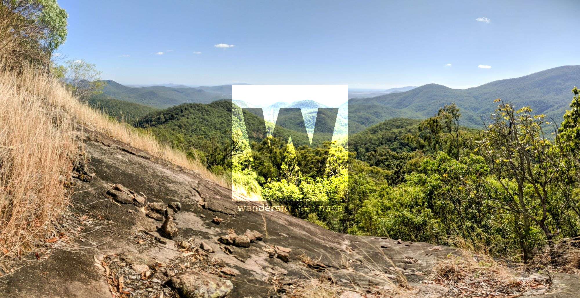
Western ridgeline route (a.k.a. Horse Ridge)
Steep scrambly climb out of the creek, up to the western ridgeline and onto the blue tape trail (not formed and hard to follow). Attempt to follow this trail to the top falls, a steep climb up will get the heart pumping.
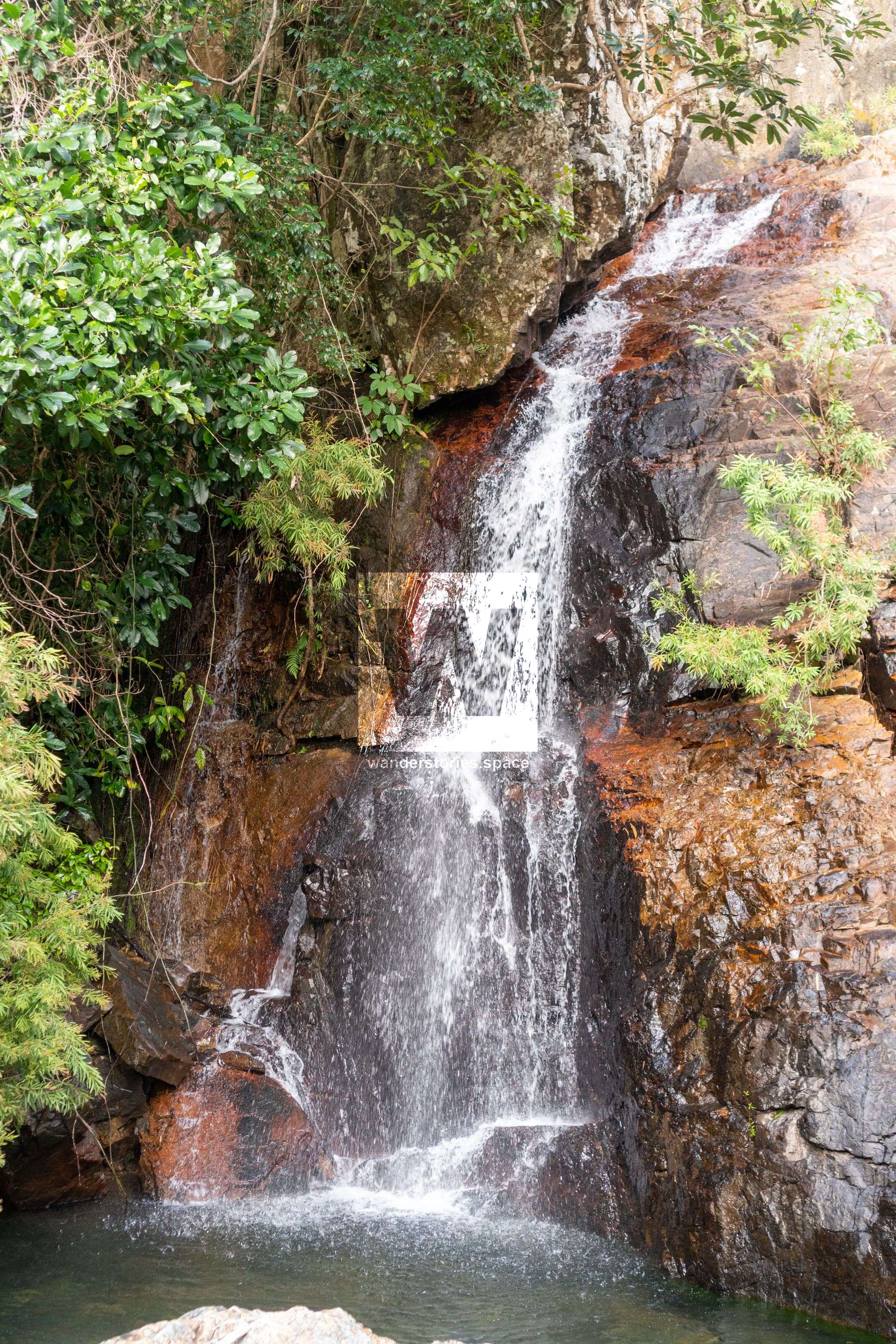
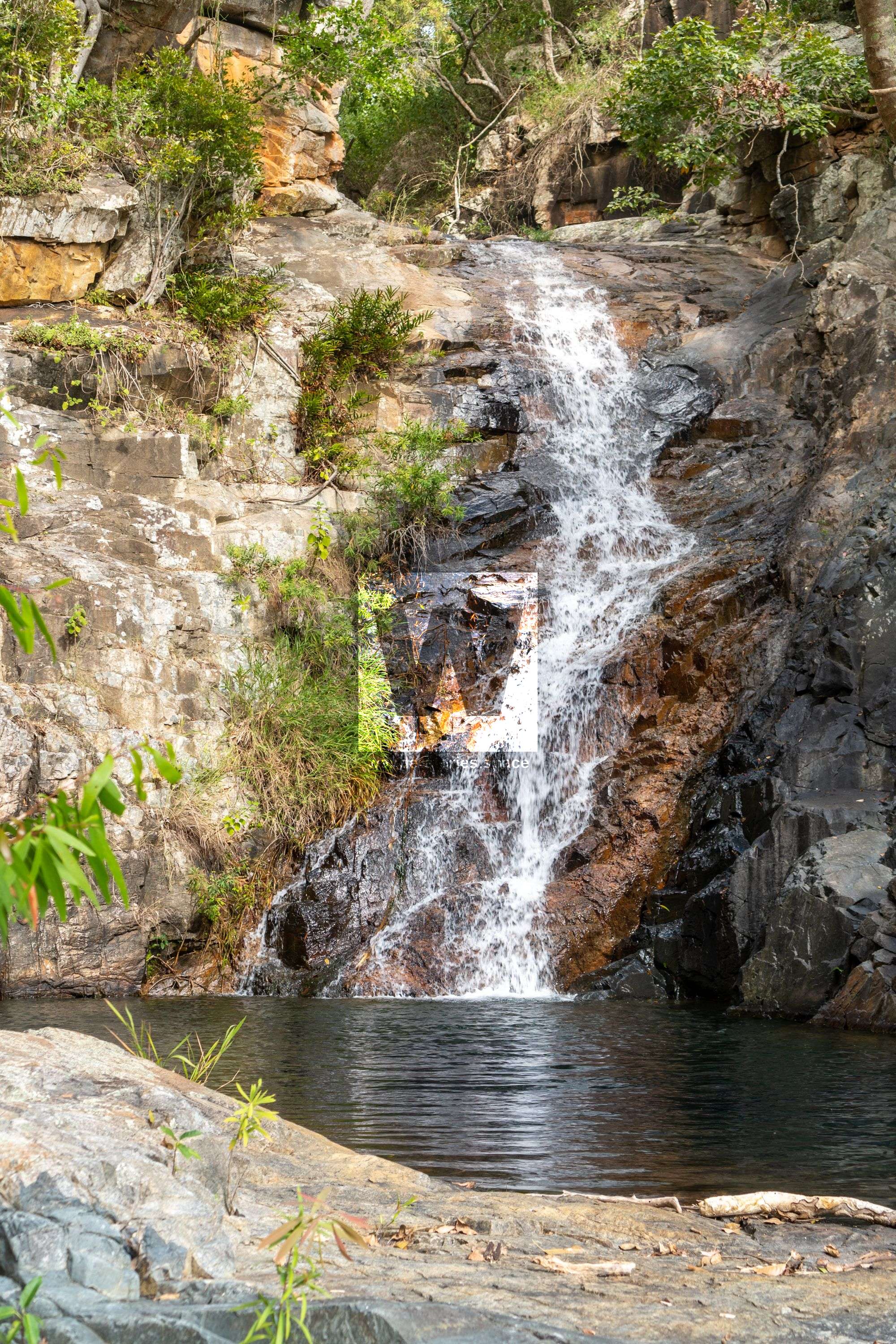
Reach the top falls usually before or around lunch time (530 metres altitude). It's about one hour to get there from the fig tree pool. From here, you can decide to go upstream for some extra rockhopping or head back down via the Western ridgeline route.

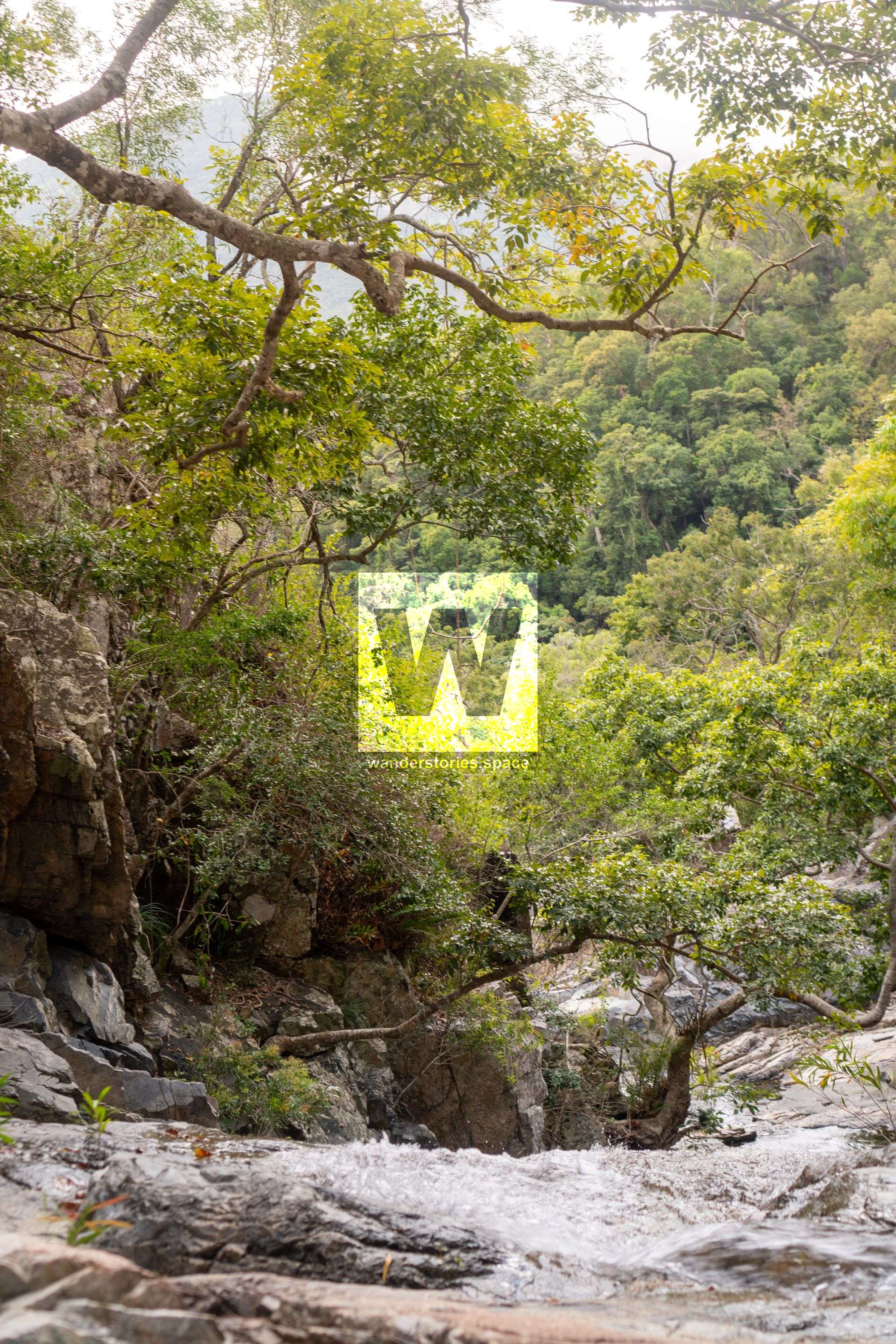
Hiking upstream further: There's nice creek scenery area, fairly flattish part of the creek upstream. Then there's a few nice ravine type scenes, then a nice waterfall. Creek remains flat up here for some time, so no need to go no further. Return to top falls.
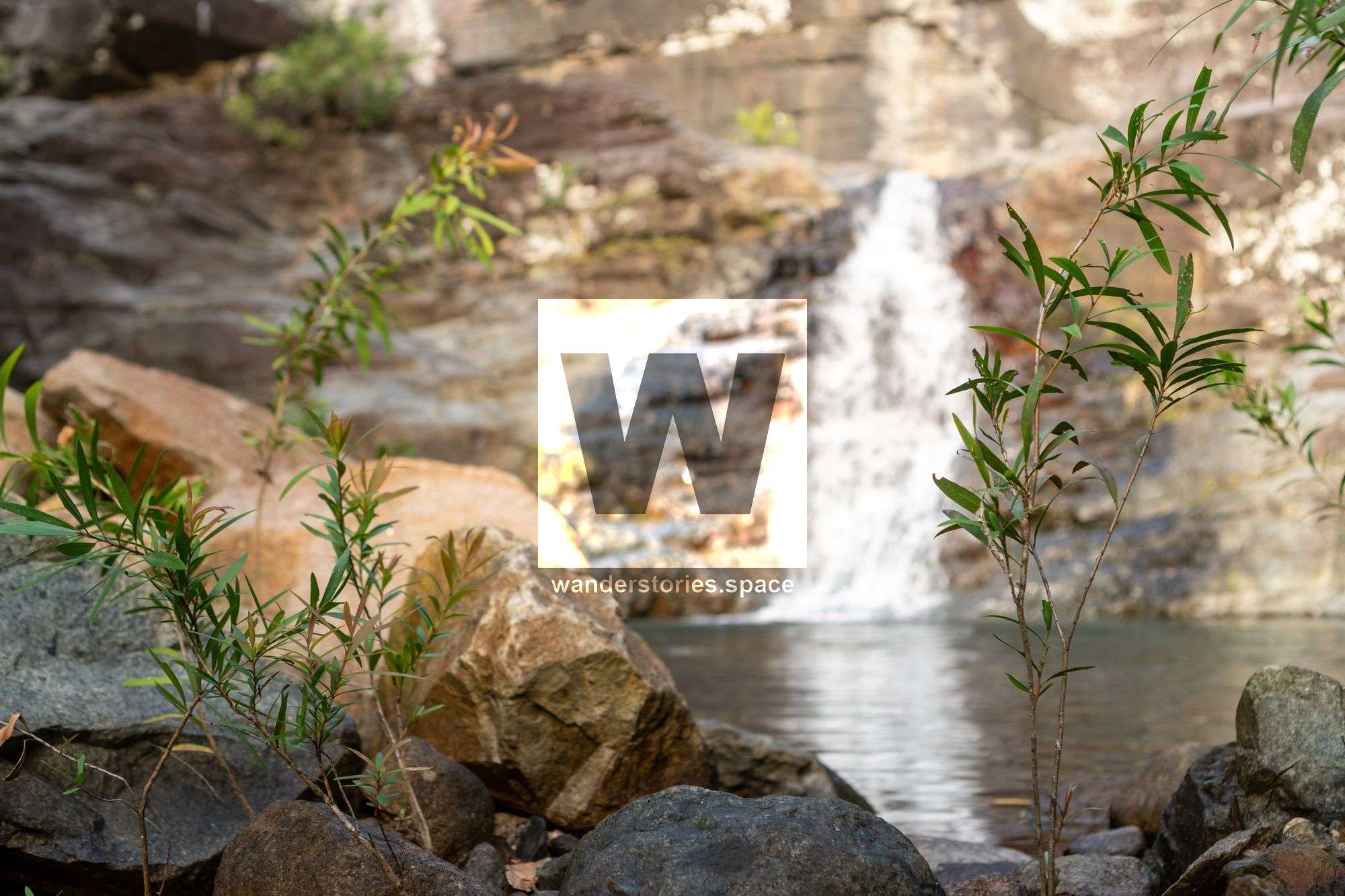
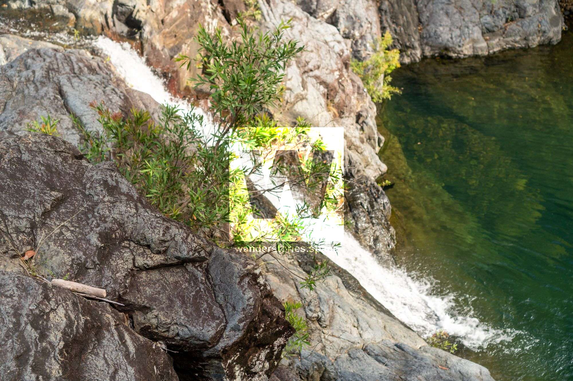
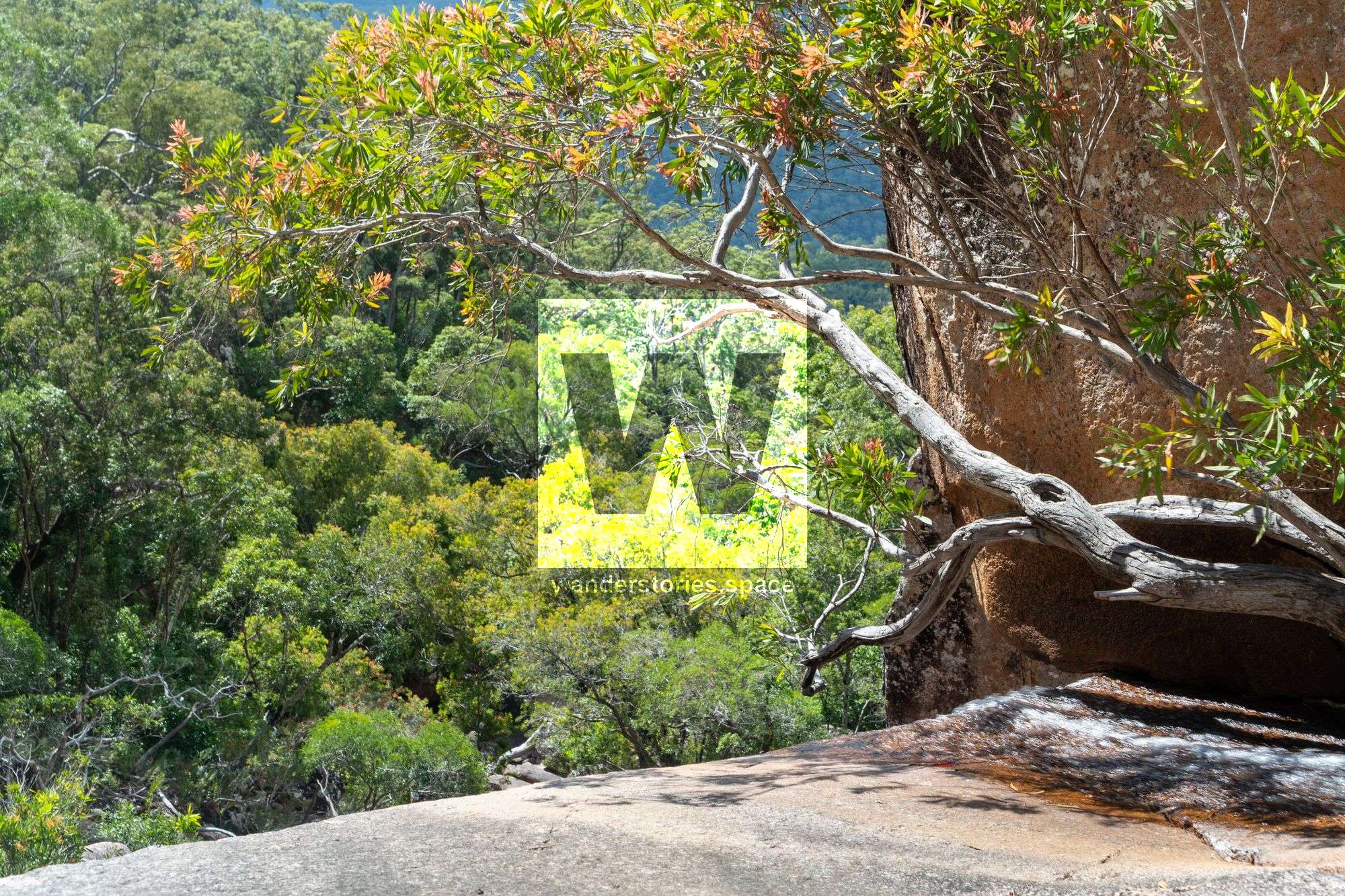
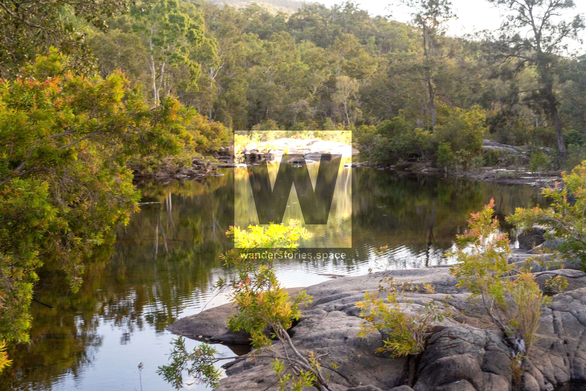
Getting to the bottom of the falls: Walk through bush for 50 metres on the northwestern side, then descend down the slopes via the exposed sloping rock face to base of falls and a fantastic pool for a refreshing swim.
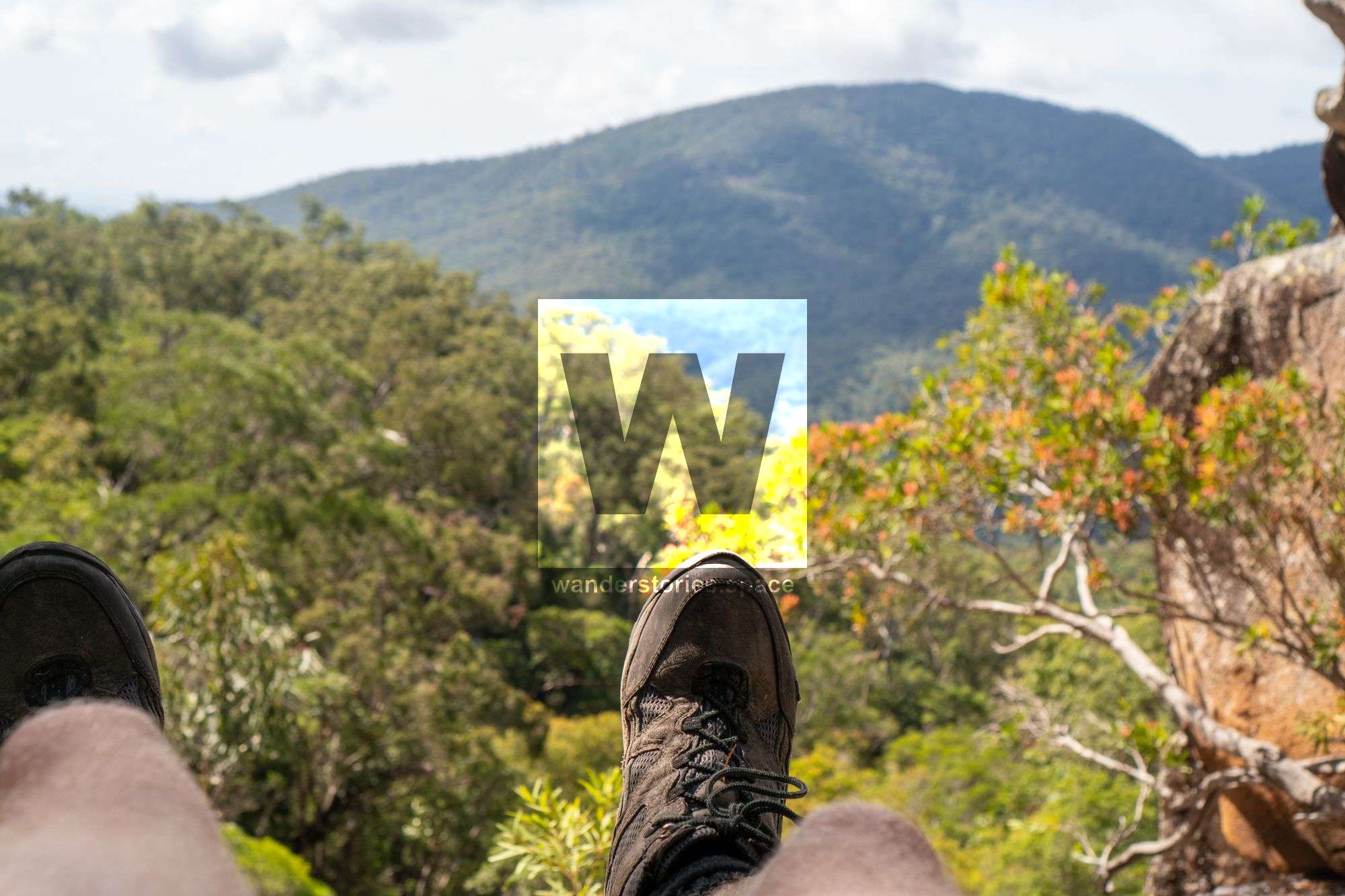
Great views to the falls above, and of cascades and creek below. Have a good swim and lounge around here for a break. There's some good deep water soloing here - climb up the sheer rock face above the pool. At the bottom of the cascades below, you'll great view looking back at the waterfall system (a mini Jourama type view) - well worth the effort to get there. Rock hop downstream, to reach a massive drop off and boulder field.
You'll be perched on top of massive boulder with a vertical drop off. You can either continue down the creek scrambling you way or take on the ridgeline path for the route home. Any further down the creek in this area is very rugged and slow, and getting out of the creek would be difficult.
Scramble out of the creek to the western ridgeline, a short climb up, find the blue tape trail and follow that down the ridgeline. Coming off the final hill descent, head further west on the faint horse trails to reach powerlines track and avoid the hills on that track. Short walk back to Cockatoo Creek.
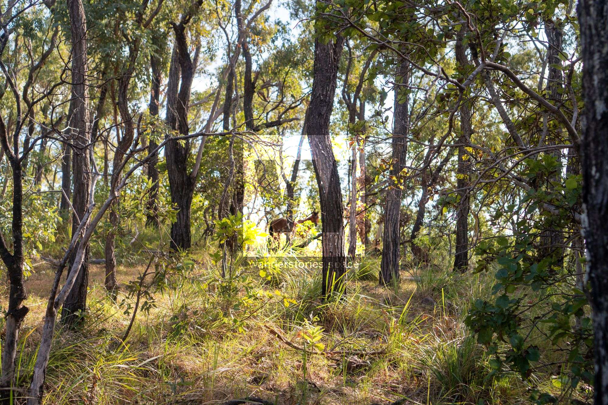
You'll most likely see Brumbies (wild horses) in this area. That's definitely a highlight for many. It's also very easy to follow their tracks.
Interactive Map
Here's an interactive map of the area
What you need
- Mosquito spray and sunscreen
- Water for the walk in
- Snacks and food for the day
- First aid kit and PLB
This article, and all other articles, are for entertainment purposes only and are not to be used as a guide. Please see our Disclaimer for more information.