Paluma Dam to Jourama Falls Track
This trail takes you down the range from Paluma Dam to Jourama Falls (PD2JF). Take a break on the top of Jourama Falls to swim and enjoy the views.

Location - Paluma Range National Park, Queensland, Australia
Distance - 15 km one way (3.5 km from Paluma Dam along dirt road to start of track, 10.5 km from of trail, 900 m from Jourama Falls lookout to JF car park)
Time - 4-6 hours for the fit walker
Difficulty - Grade 4, easy to moderate
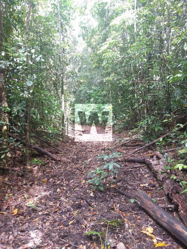
Notes: The track is not well-used so it may be hard to follow in some places. Take secateurs to cut your way through vegetation that may have fallen across the trail (don't do this within National Park).
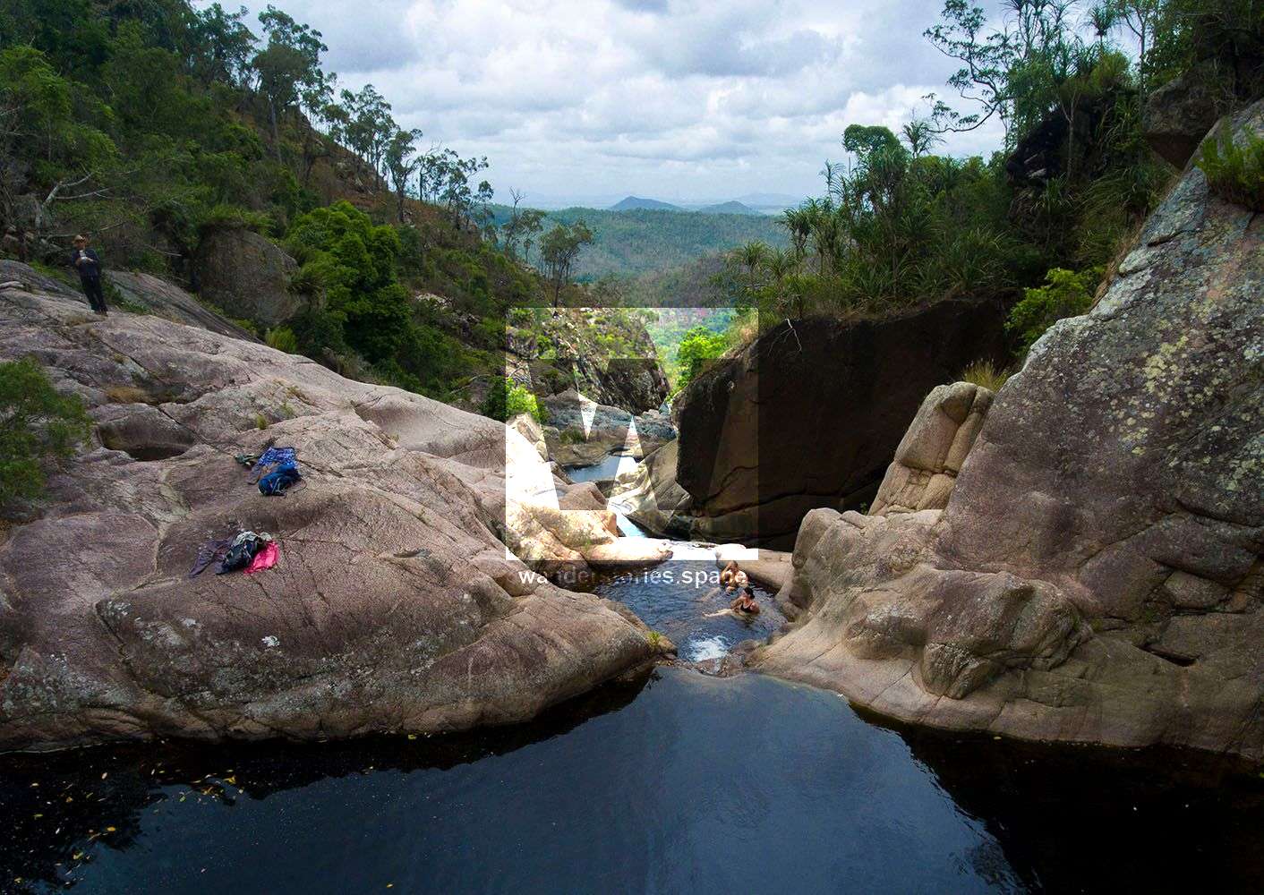
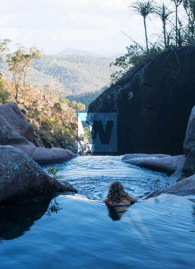
A favourite waterfall in Queensland
Although Wallaman Falls is very spectacular, a favourite for many is a place in Queensland - the top of Jourama Falls. It has an amazing view, fresh air, and a spa bath overlooking the ocean! We're calling it the "PD2JF trail" for short.
So if you're living around this region or travelling through and you are an experienced cross-country hiker having all the gear, this track is recommended - though it's not an official National Parks walk.
The downside is that it's best with two cars or you can just walk up from to the top of the falls from Jourama Falls side.
See also the trip from Hidden Valley to Jourama Falls.
Thanks to mainly Wilfred and Jamie, a path has now been cut and tagged making the hike extremely easy and fast compared to beforehand.
Interactive map
Here's an interactive map of the route:
How to get there
Park your car at Paluma Dam near the locked gate. The real bushwalking starts at Hermit Creek (was called Prospector's Creek which flowed into Benham's Creek), which is about four kilometres from the dam.
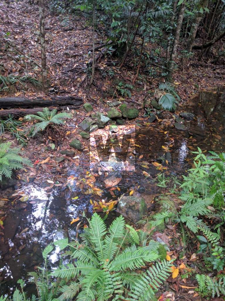
Cross the dam wall and follow Benhams Track North. At the junction with old Mount Spec Road (gravel road), veer to the left. Follow that road as marked towards Hidden Valley, cross Hermit Creek (which is about five metres wide and running all year round), another 70 metres further on your right you will see a track that goes off on the right. It's fairly well hidden so keep a look out for a pink ribbon and what may look like an old, overgrown logging road. You may notice a few blanks bullets left from when the army use to use this as a training area.
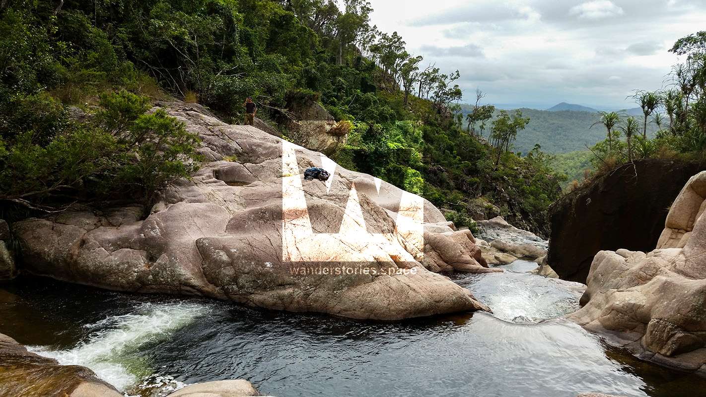
After turning right and entering the bush, the old logging road should become very obvious. Follow it to Johnston's Mine at the creek crossing of Waterview Creek, which is the creek that makes Jourama Falls a long way further down. You will find a few old rusty artefacts here as well as a nice campsite. Also, just downstream of Station Creek an old water race.
From here, the track goes cross-country for a few kilometres until you hit the creek again about 200 metres above the falls.
UPDATE 2019: there's a new track down to the Black Hole - Junction 44.
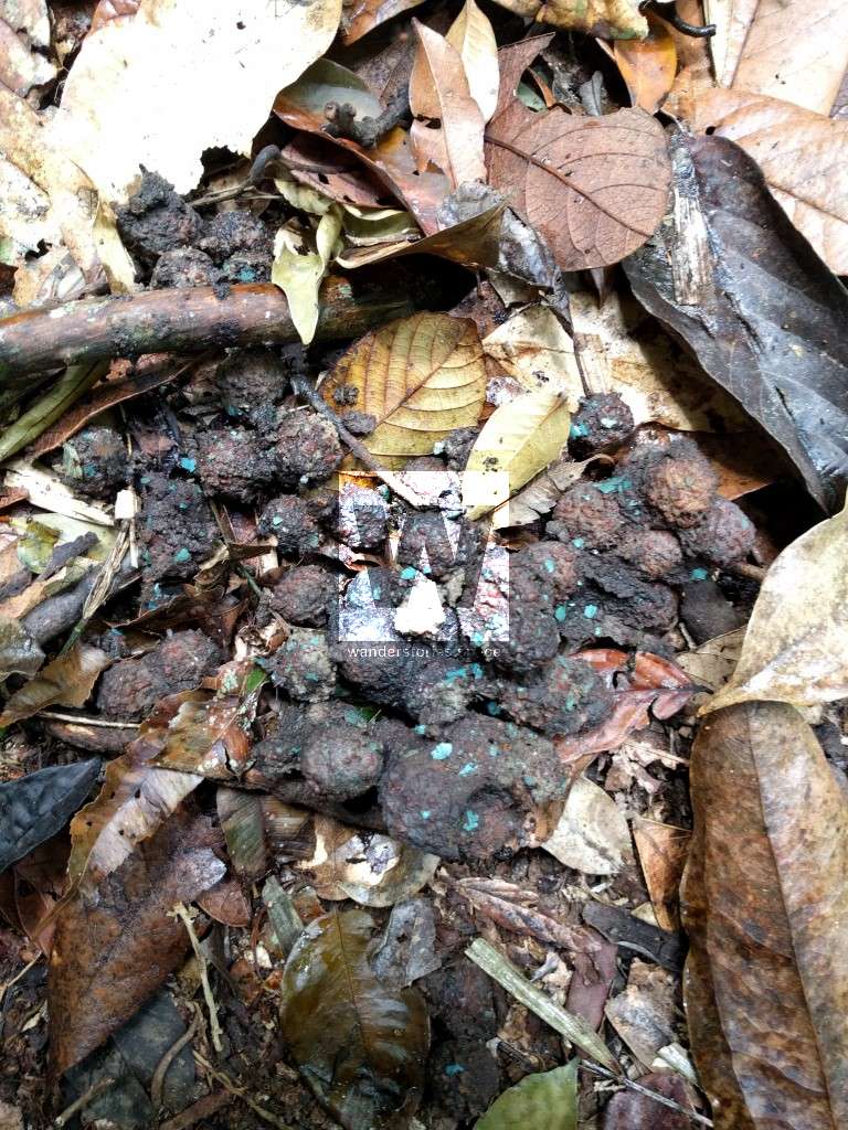
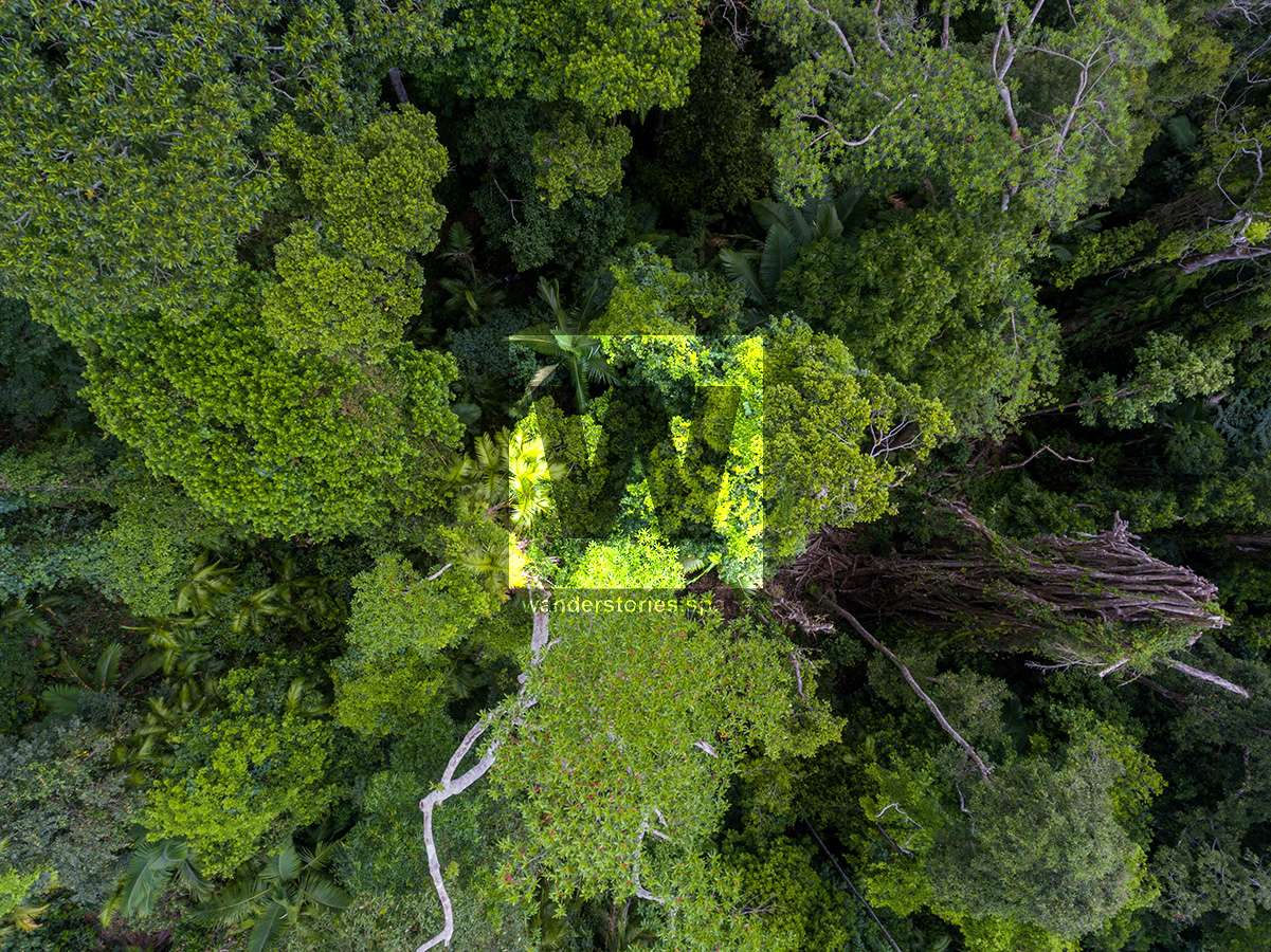
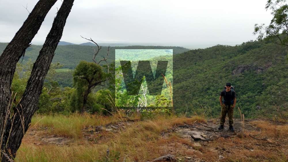
As you come down the mountain from Paluma, you will see a few little creeks and pass through dense rainforest; which slowly opens up as you get down near Waterview Creek. Some parts are very steep and a good level of fitness and coordination is required. If you are lucky, you may see cassowaries, pythons and many other wildlife. If you look closely enough, you will see bush lemons plants; planted by citrus fruit seeds that truck driver threw out their windows while driving along many years ago.
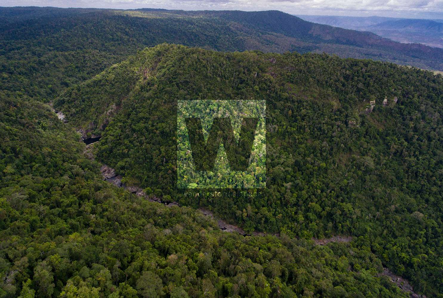
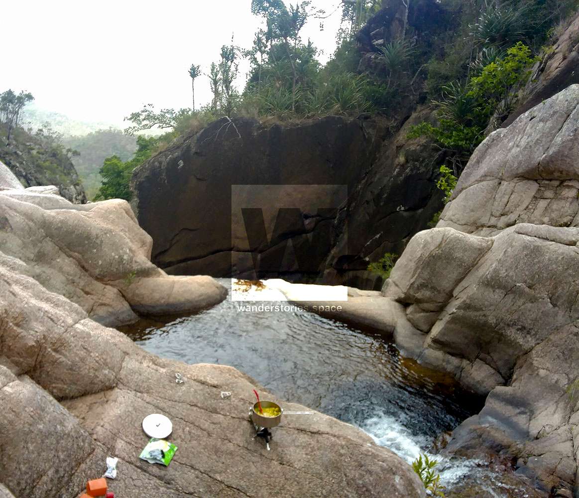
From the Top of Jourama, you could make your way up Waterview Creek to the Black Hole depending on the time and how you're feeling.

Follow the creek about 100m downstream eventually cross sides and you will find a perfect rest area. If you're equipped for it, you could sleep the night in a tent on the flat rocks or in a hammock in the nearby trees; waking up to the sounds of birds chirping and the water flowing, not to mention this amazing view, is not easily forgotten.
When you're ready, climb up out of the creek and following the markers up out of the valley and around the contours of the hill. Around about here is a nice view of the falls and the National Park camping area. It's also another perfect spot to camp in a tent.
Continue around the void and then the track drops down to the National Park Lookout and from there you're on their plastic track to the camping ground.
It can be walked right through without the need to look at the map or GPS; however care needs to be taken as the track isn't obvious in places. Make sure you take a GPS printout to help just in case you wander off the track or lose it, especially near the falls where it goes through open grass country.
The trail will take about 4 and a half hours downhill, one way to complete for a fit walker (when the track is cleared). It's 2.5 km from the dam car park to the start of the track. The rest of the walk is 10.5 km to the Jourama Falls lookout and then another 1 km to the car park.
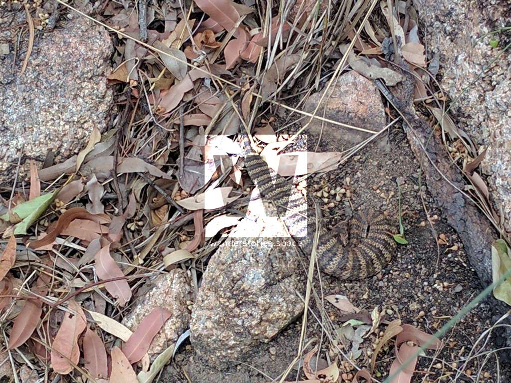
As usual, watch out for red-bellied black snakes in the rainforest laying on the path trying to soak in the sun's warmth and in the grasslands from Jourama Falls down to the car park, there may be death adders.
What to bring
It is recommended to carry at least two litres of water, a first aid kit (including two compression bandages for snake bites and a PLB/EPIRB), and food and snacks for the day. Shoes with aggressive tread and ankle support is recommended.
- 3 litres of water
- Food & snacks
- Secateurs (for cutting wait-a-while)
- First aid kit and PLB
- Navigational gear (maps and gps unit)
- Sun protection for the last section in the bushland
This article, and all other articles, are for entertainment purposes only and are not to be used as a guide. Please see our Disclaimer for more information.