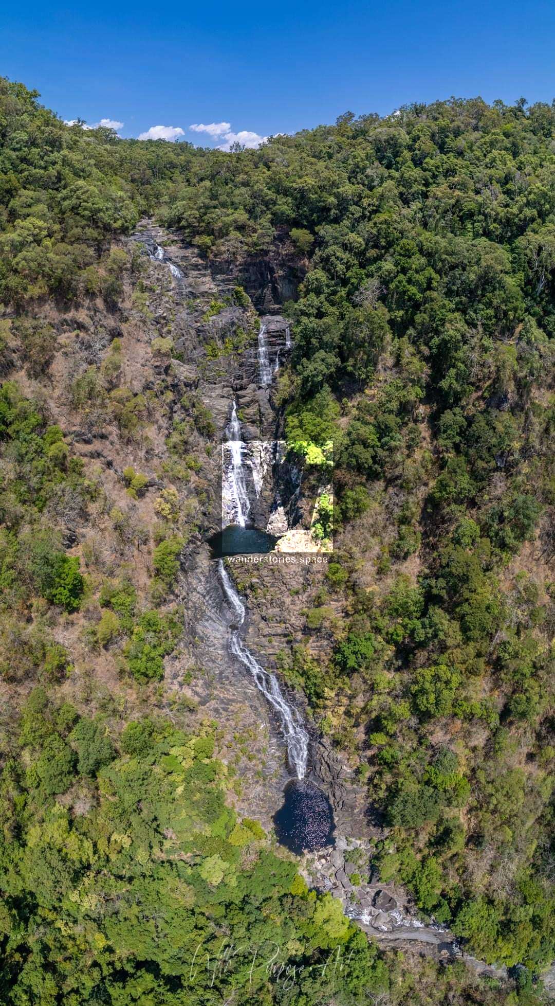
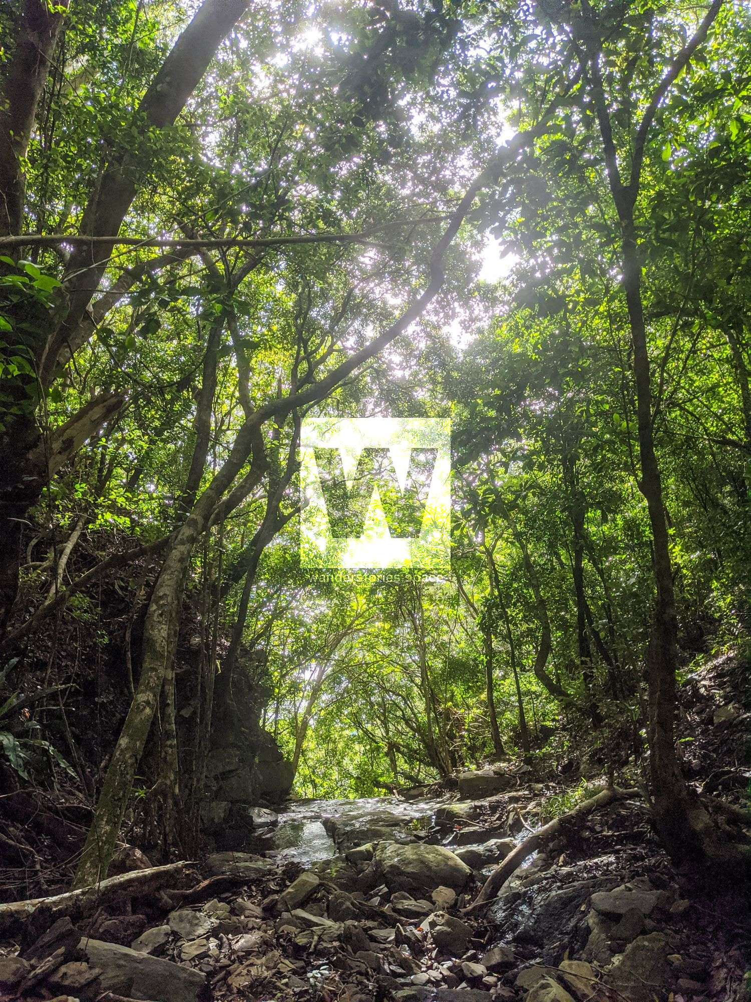
Spring Canyon, Spring Creek
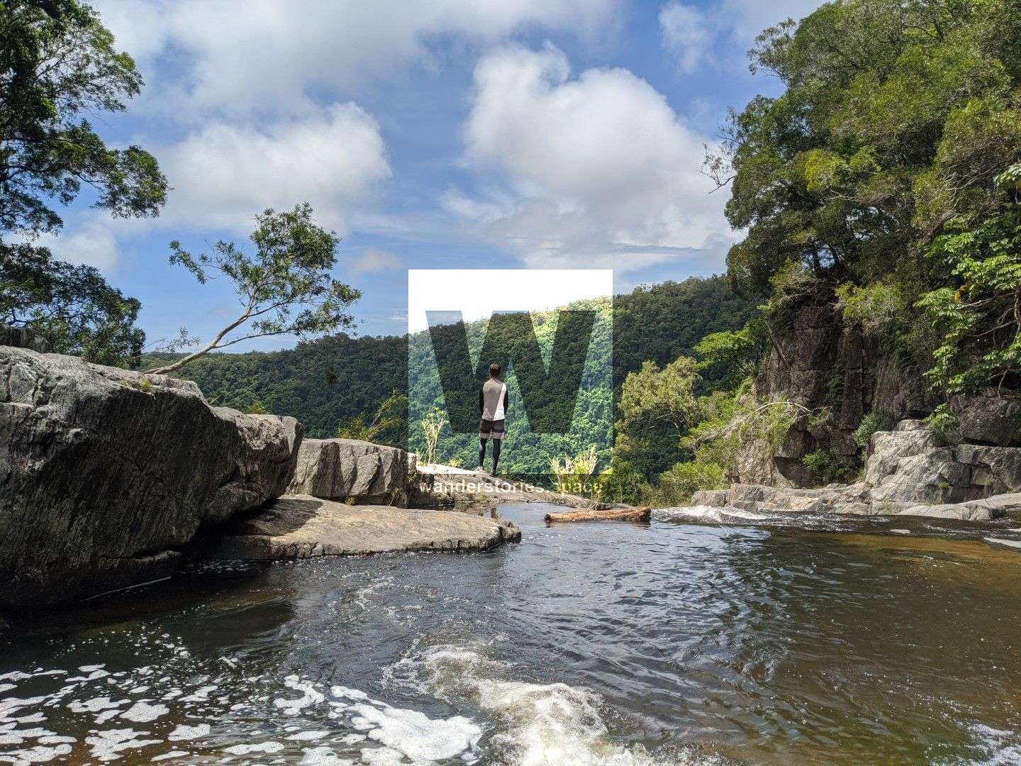
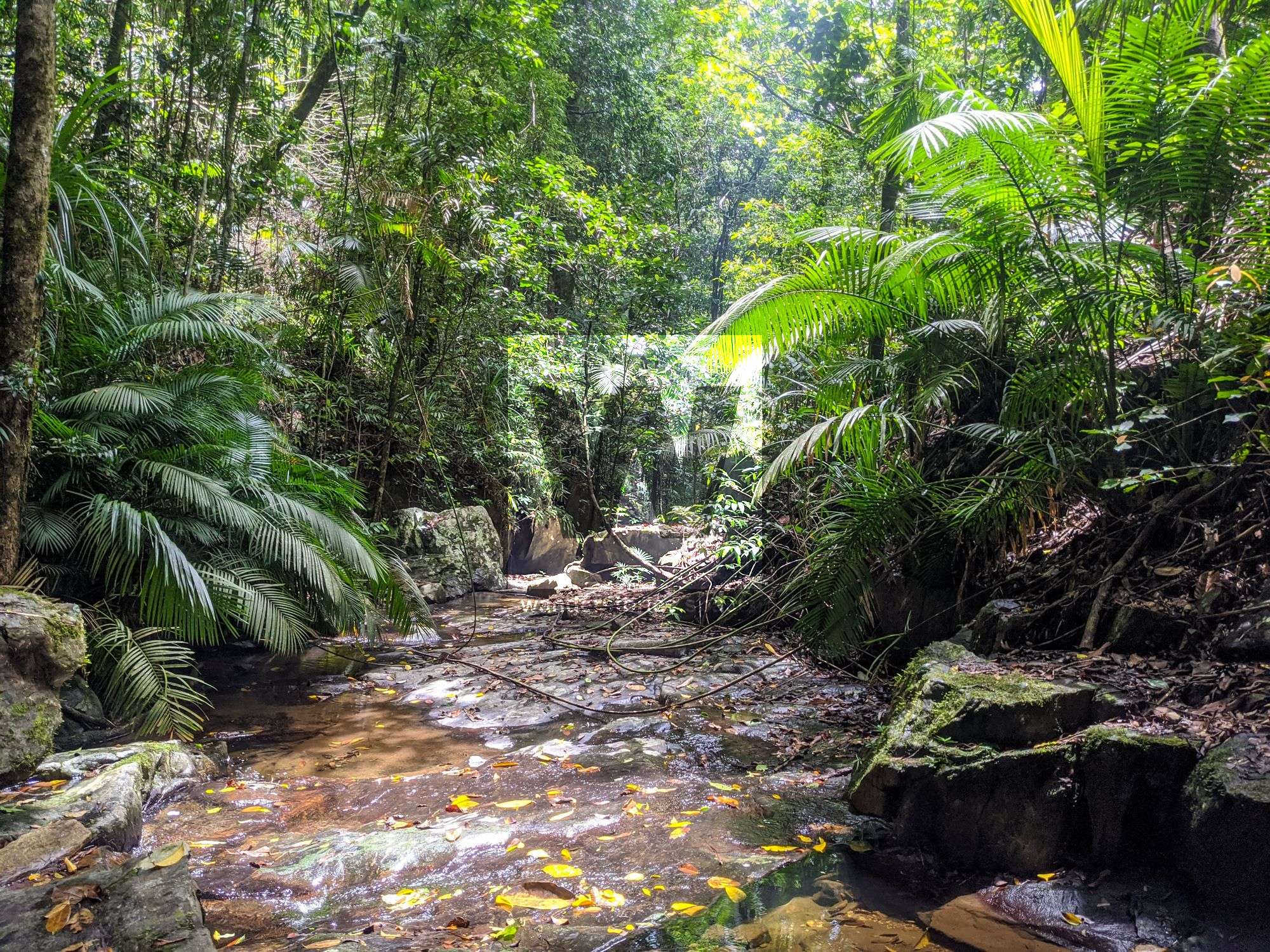
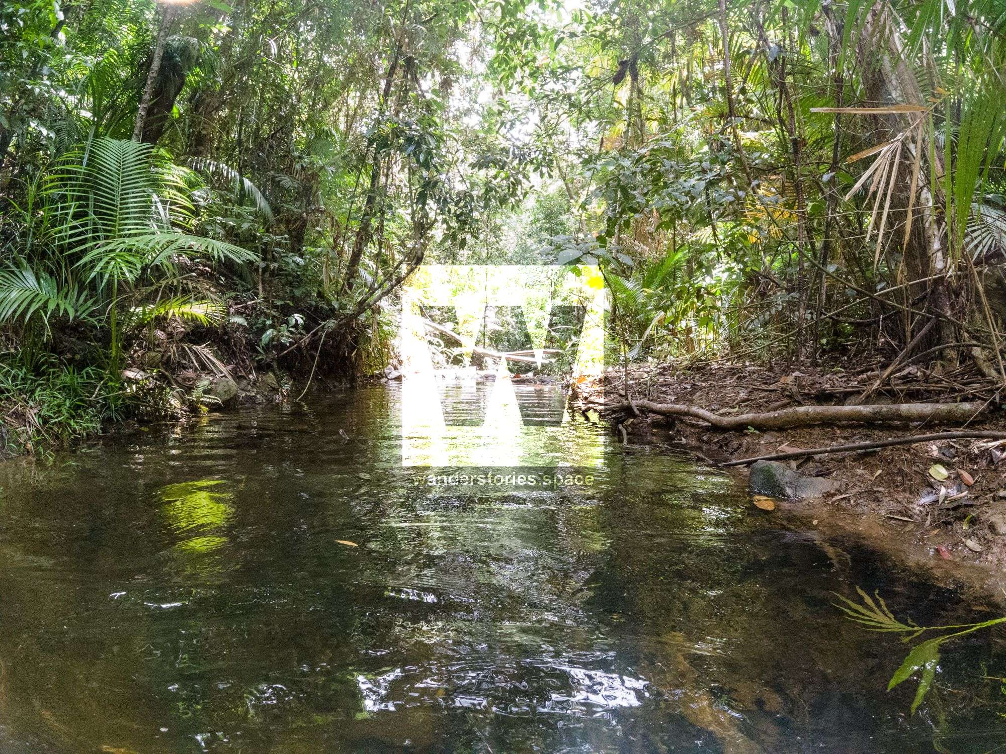
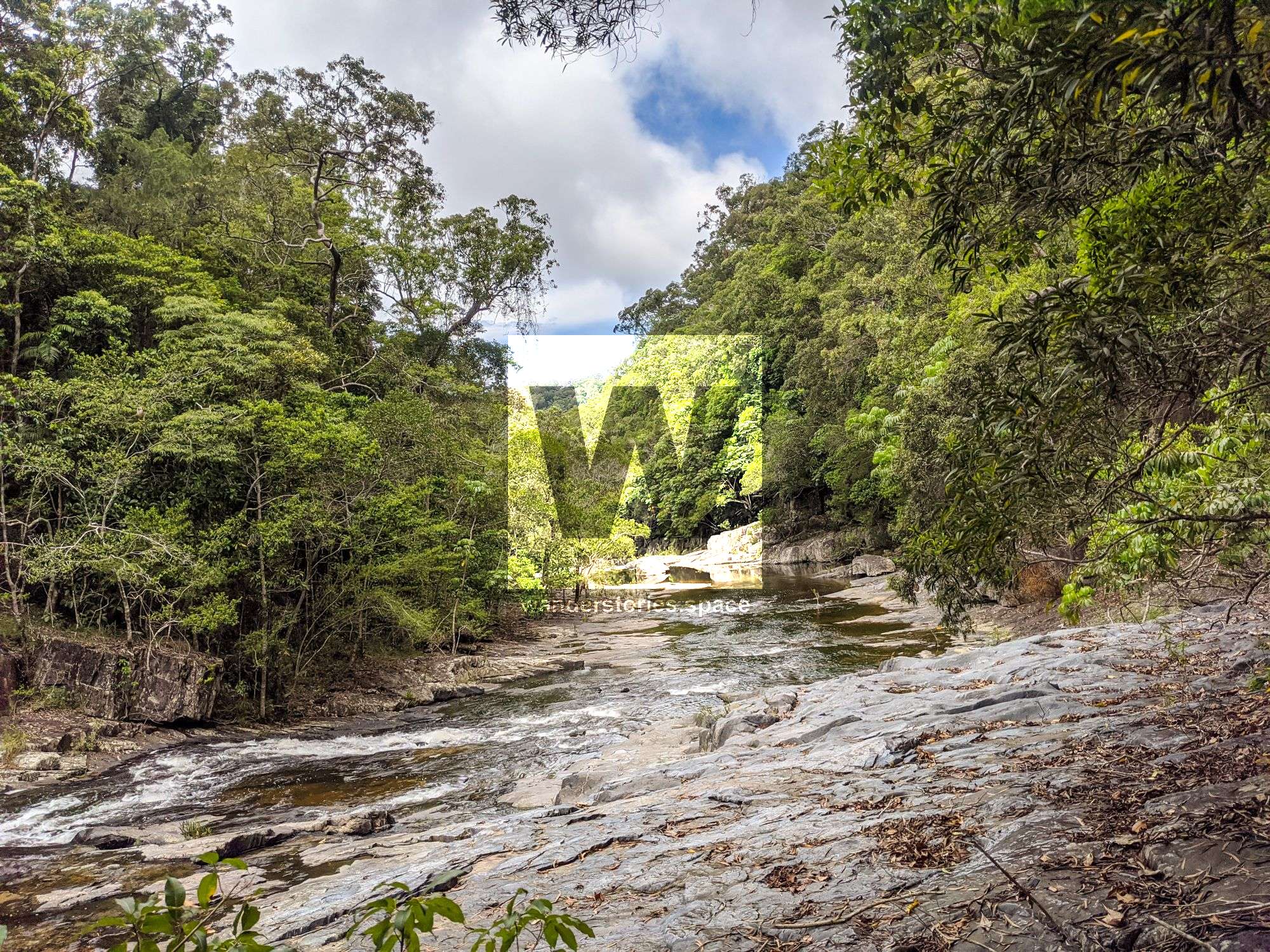
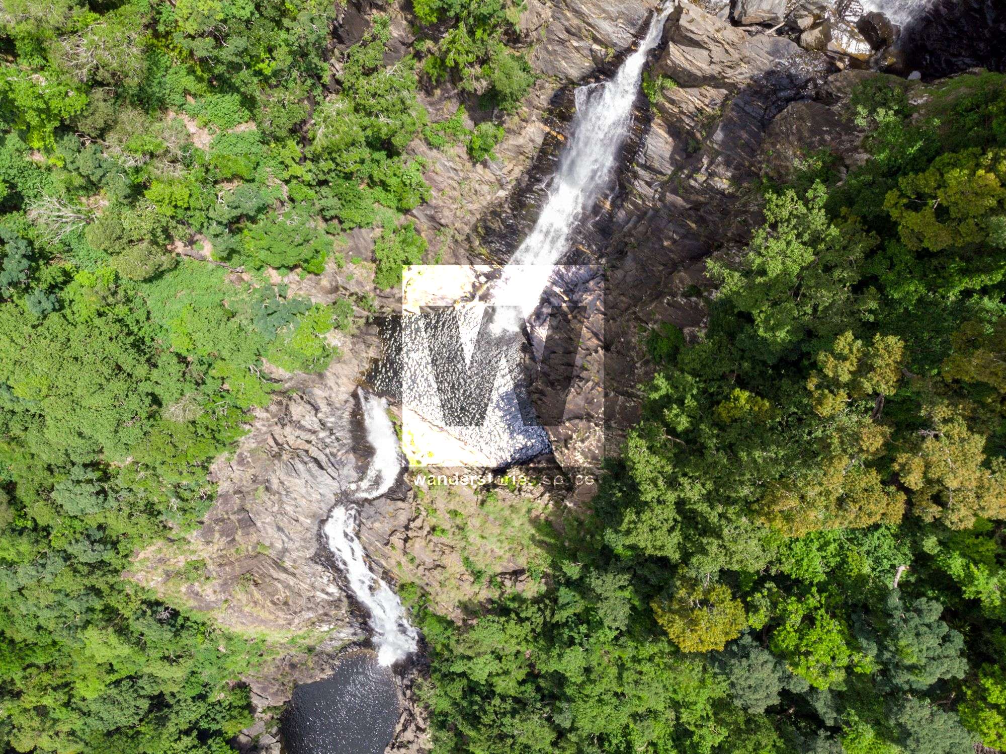
Spring Creek is hidden deep within the Mowbray Valley near Port Douglas in Far North Queensland. These falls make for a great one-way trip and provide private waterholes with great views along the steep descent.

Spring Canyon
Location - Mowbray National Park, Far North Queensland, Australia
Approach Difficulty - Grade 5 (AWTGS) depending on route taken
Grade - V4 A3 III * (French Grading System)
Total Distance - Approximately 8 km round trip
Total Time - Allow 5-8 hours for 4-6 people
Approach - 1 hour with car shuttle, otherwise 2-4 hours
Descent - 1-2 hours
Exit - 1 hour
Elevation loss - 280 m
Flash flooding level - Medium
Longest rappel - 50 m
Spring Creek is hidden deep within the Mowbray Valley near Port Douglas in Far North Queensland. These falls make for a great one-way trip and provide private waterholes with great views along the steep descent.
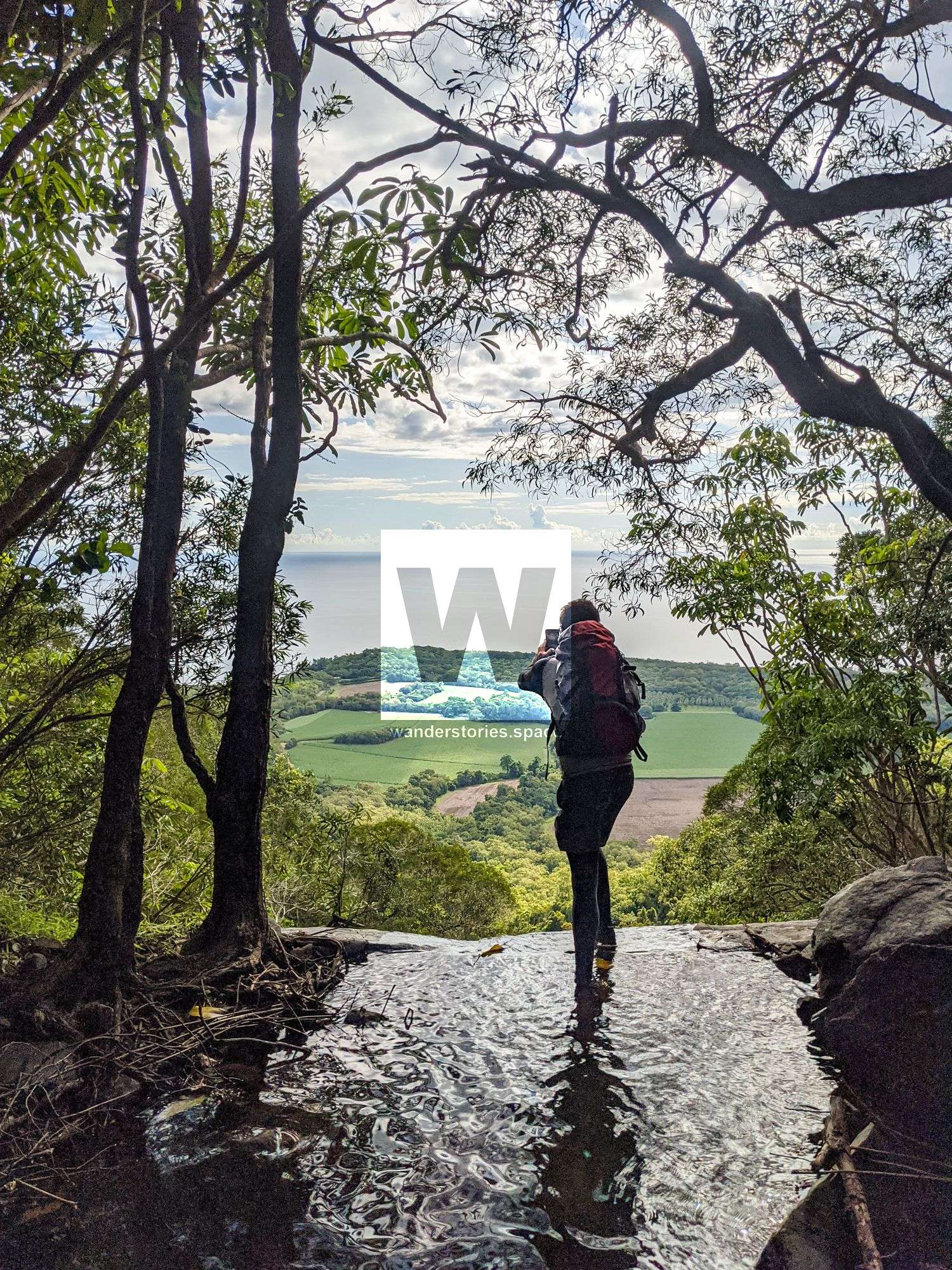
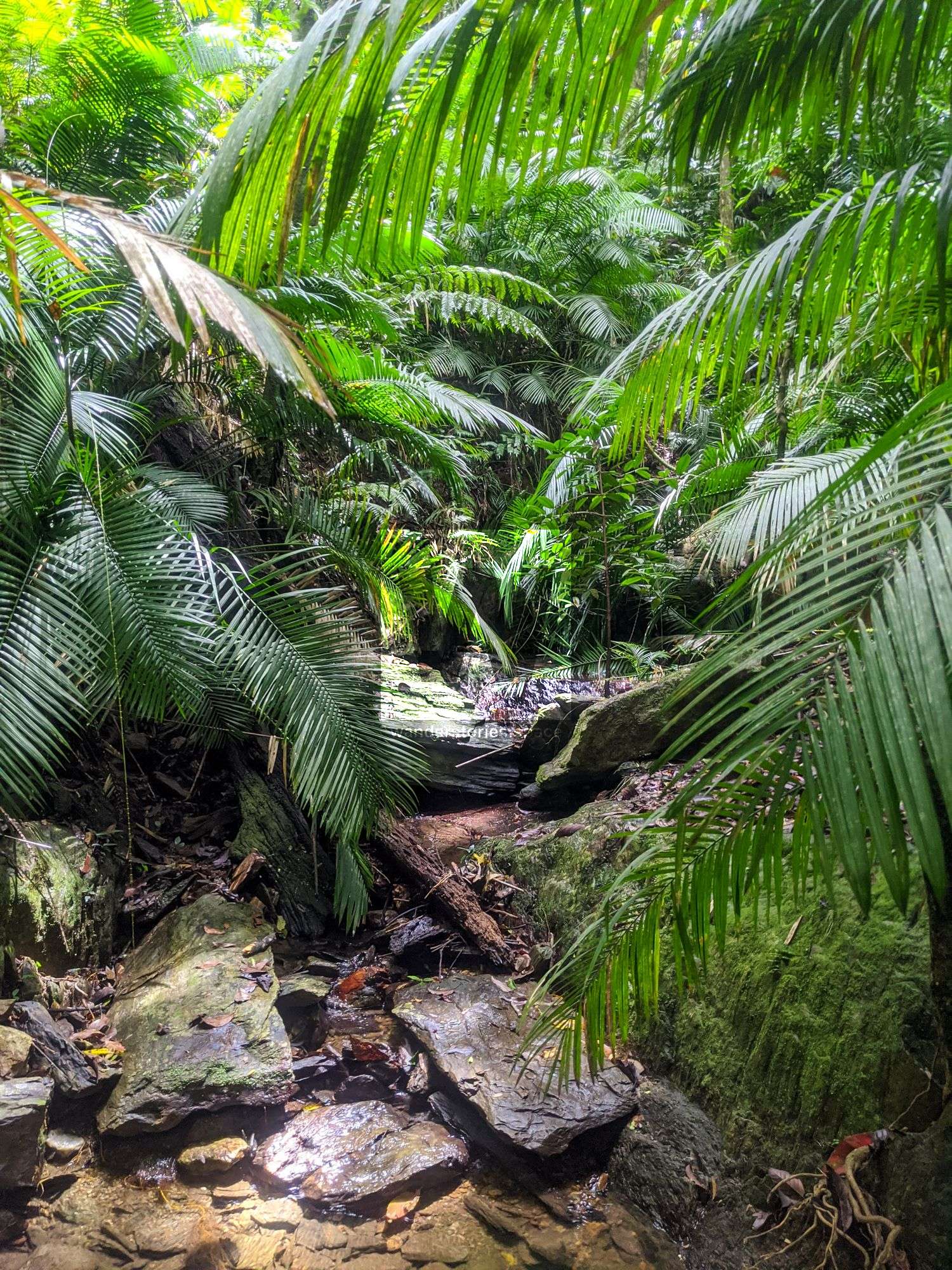
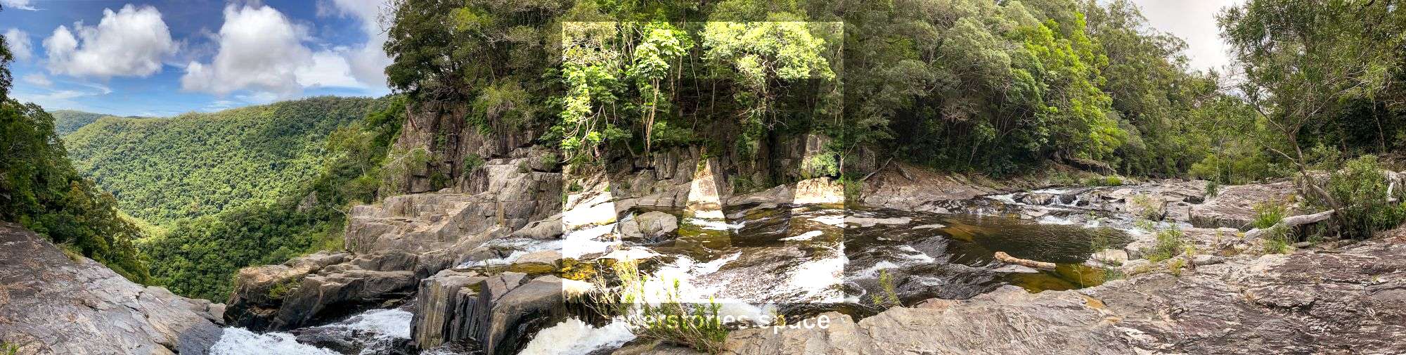
Approach
The top of the falls are accessed via:
- Via scrambling up the side of the falls to the top.
- Twin Bridges (East Black Mt Road)
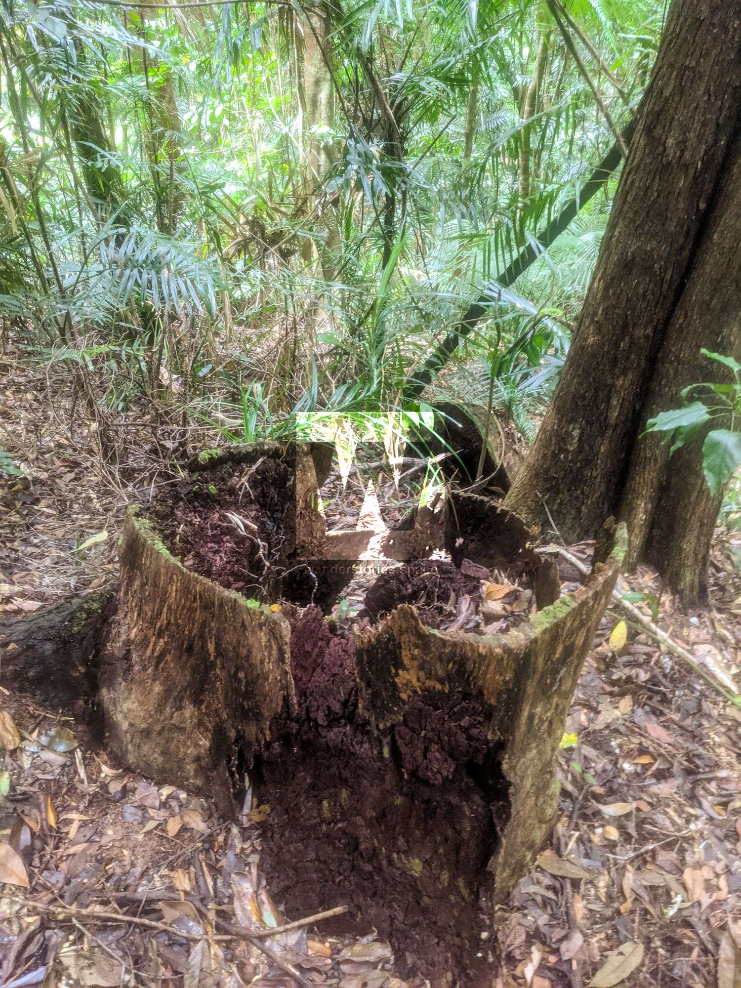
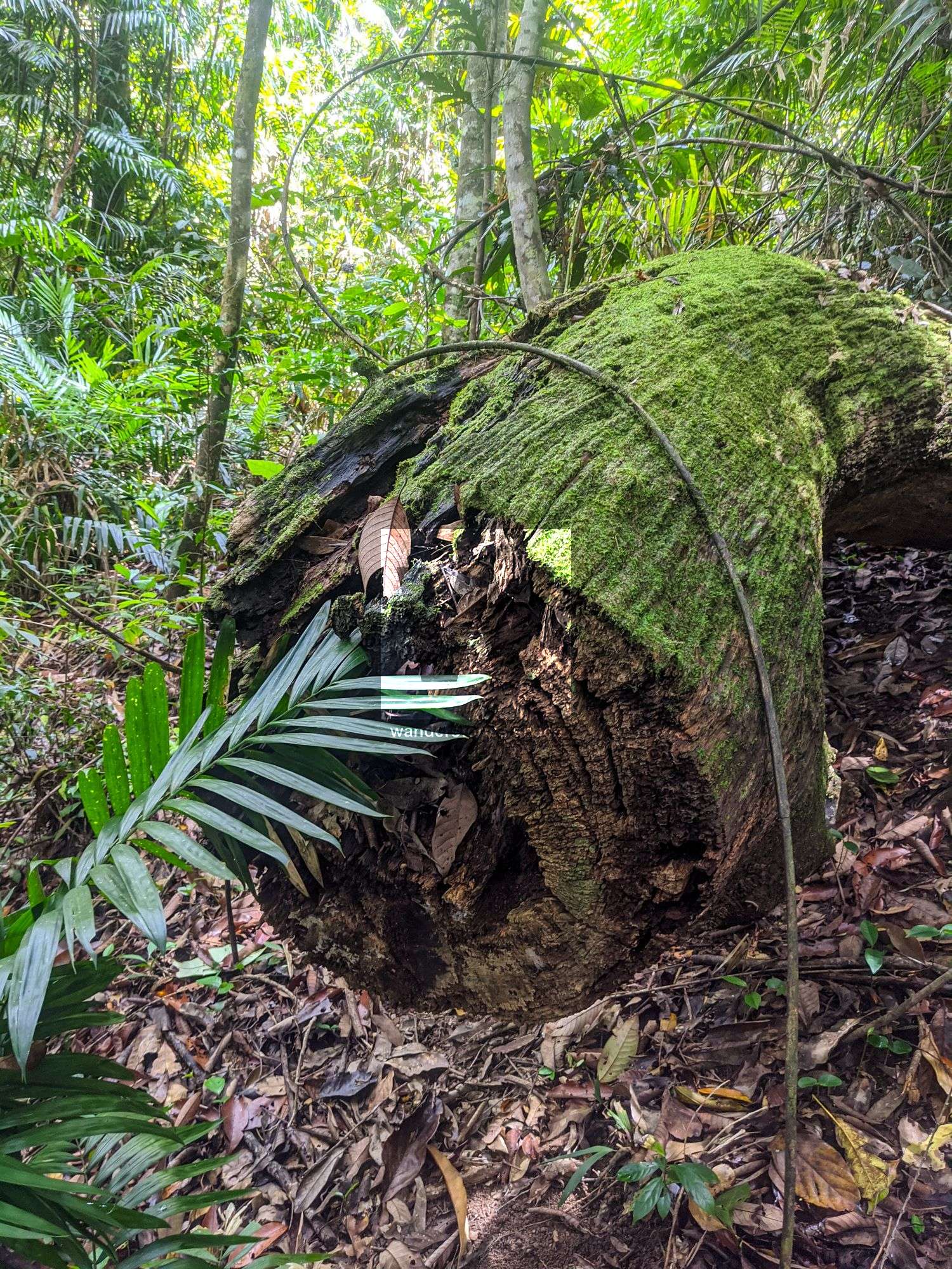
- The unnamed creek to the west and contour around. You will see the remains of large tree stumps in the area from the old logging area.
- Grays Creek for a good circuit.
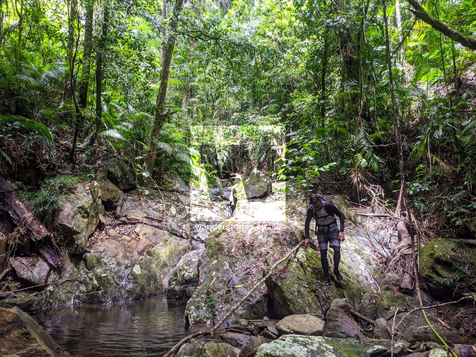
We took the harder approach and when up the unnamed creek to the west.
Interactive Map
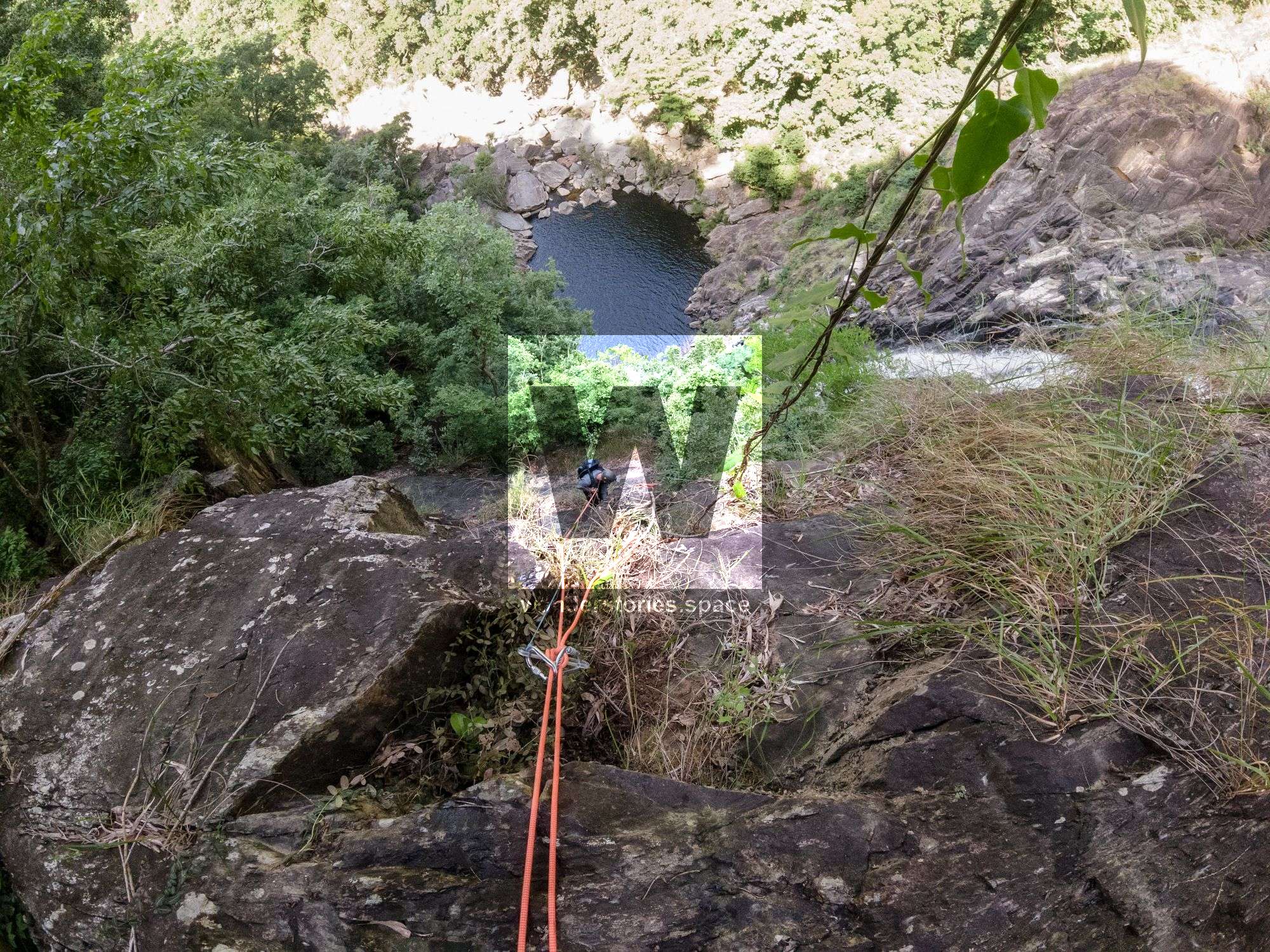
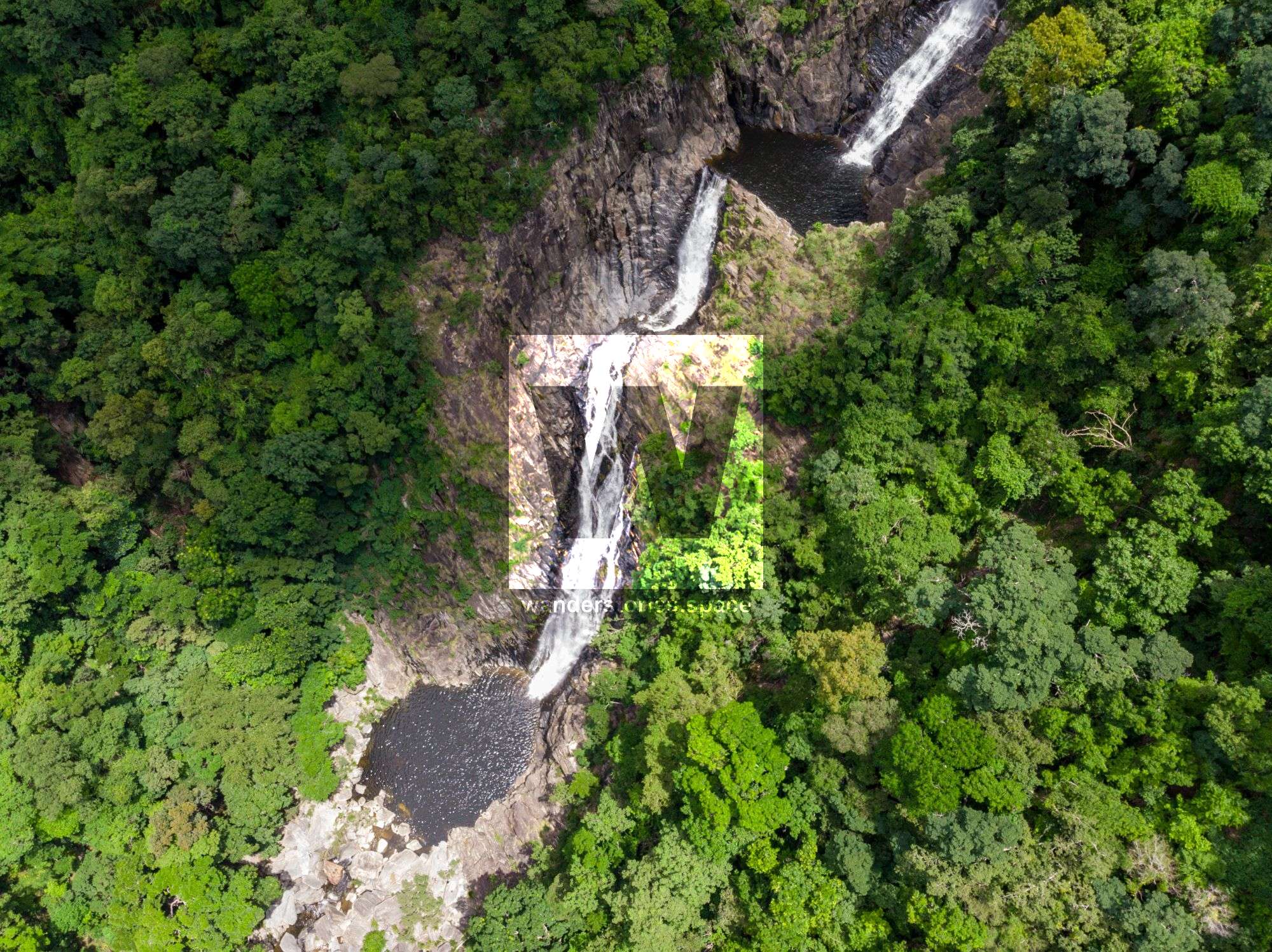
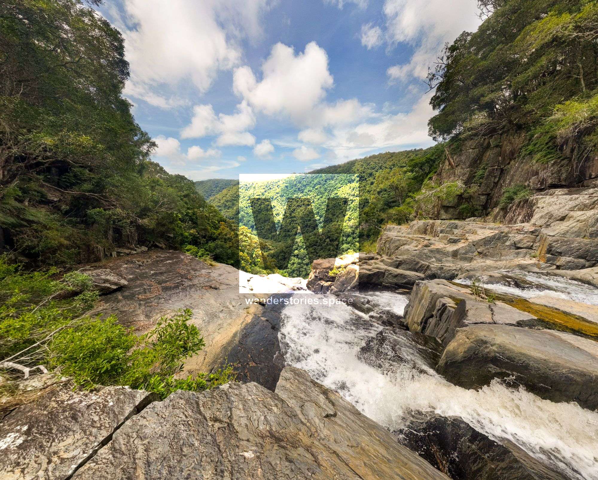
Rappels
The rappels on this creek are close together.
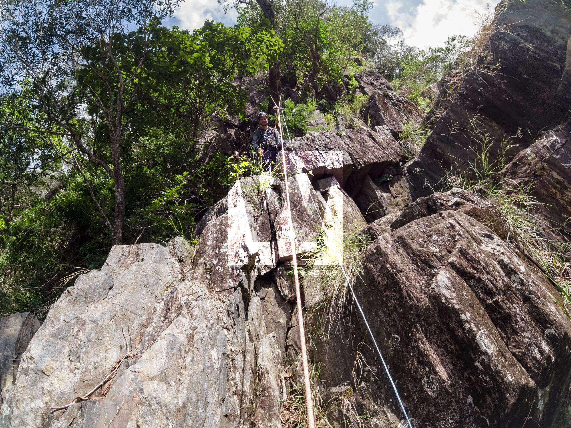
R1 50m NA-TR
Rappel from tree on true right
R2 15m NA-TR
Rope wasn't long enough to make it in one pitch.
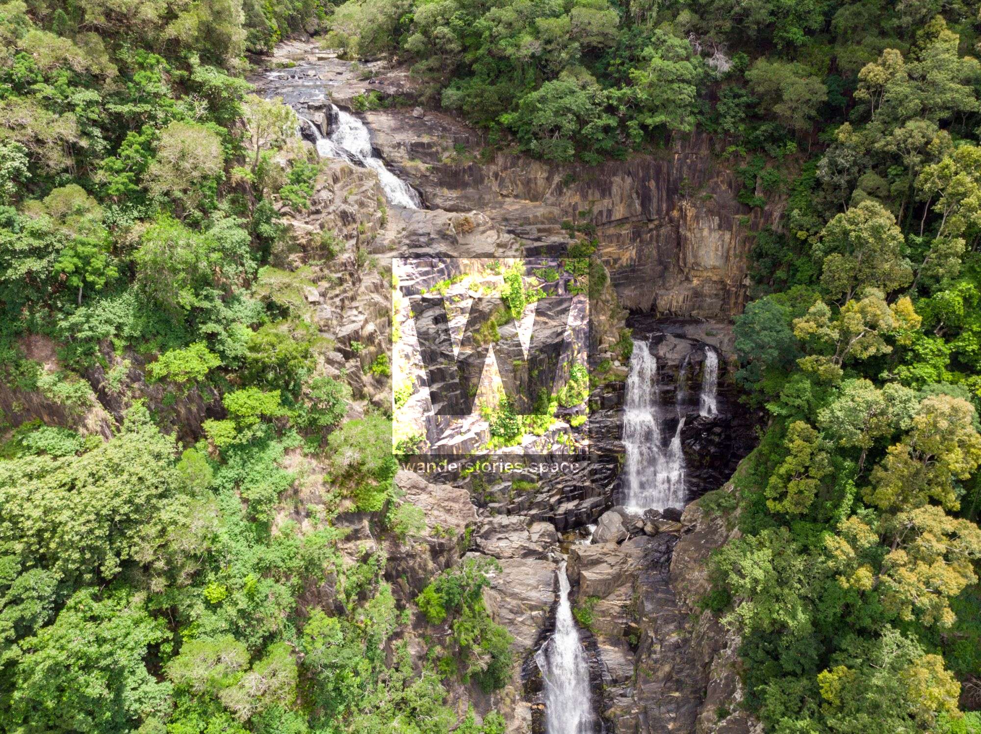
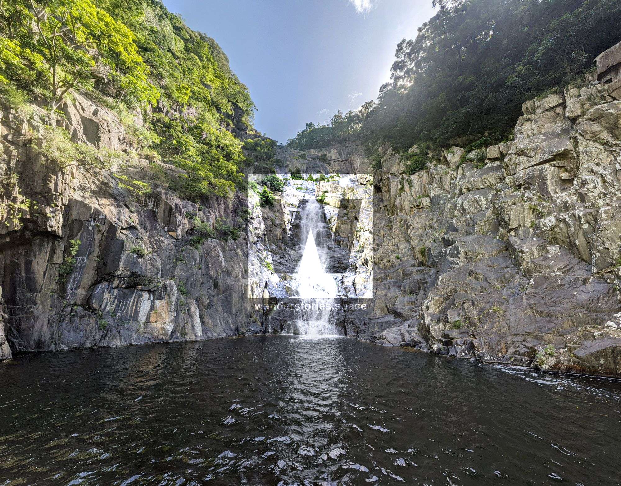
R3 40m NA-TR into pool
Once at the bottom, there are some advanced anchor building can be done in a crack centre or scramble left to tree for vegetated rappels - this is what we did.
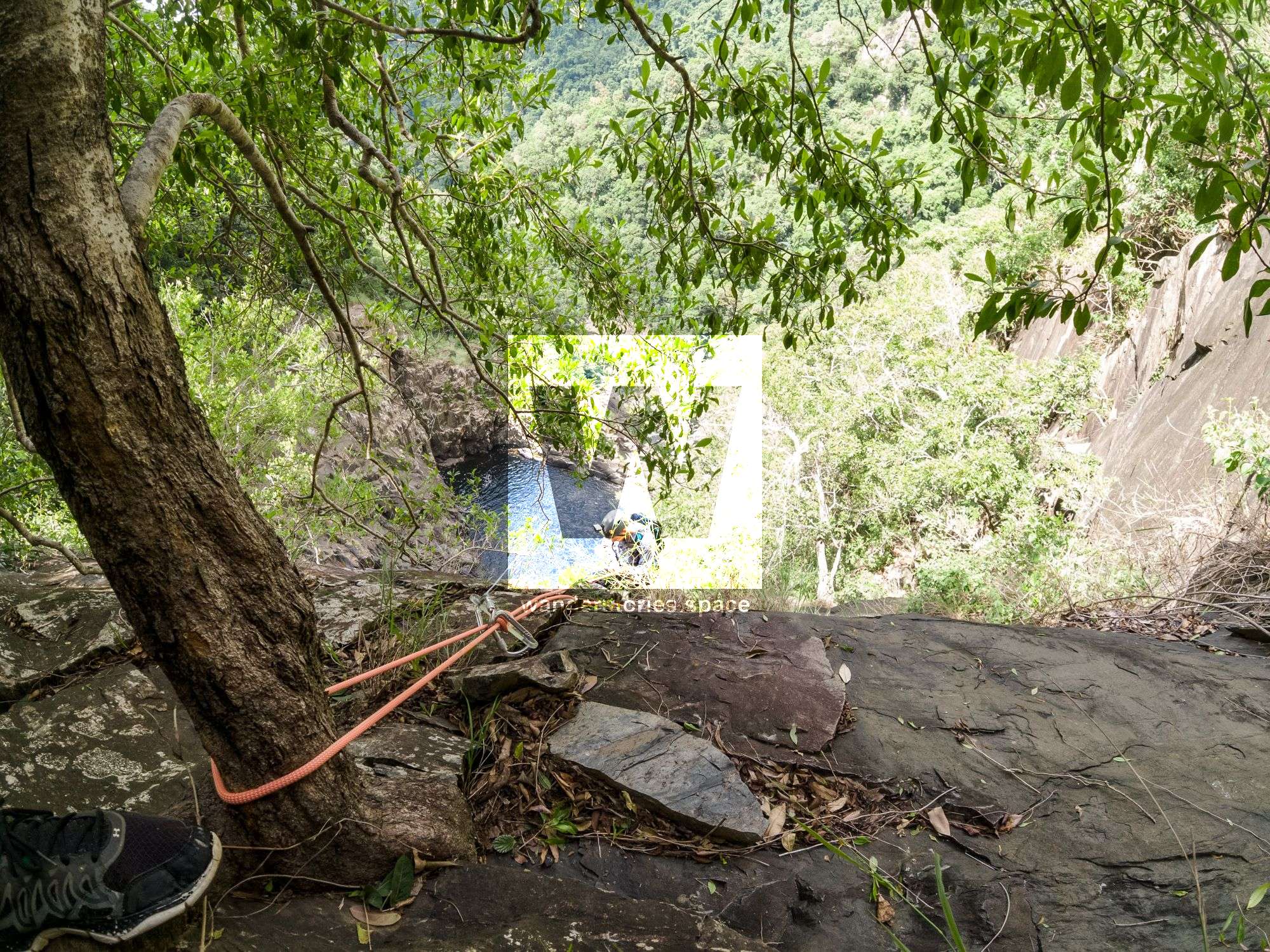
R4 25m NA-TL Vegetated
Keep rappeling down on true left through vegetation/trees
R5 8m NA-TL Vegetated
Rap down through thick vegatation
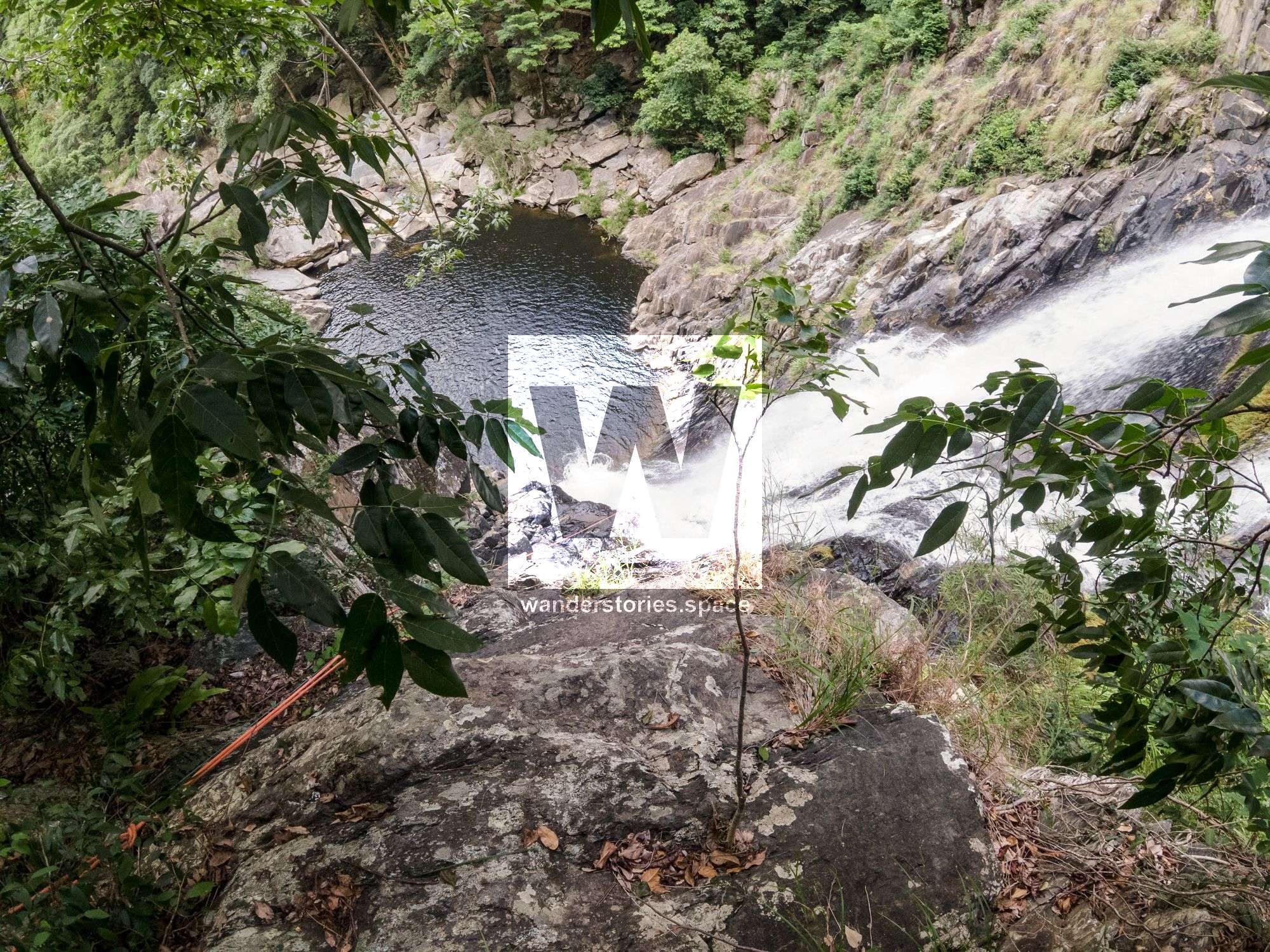
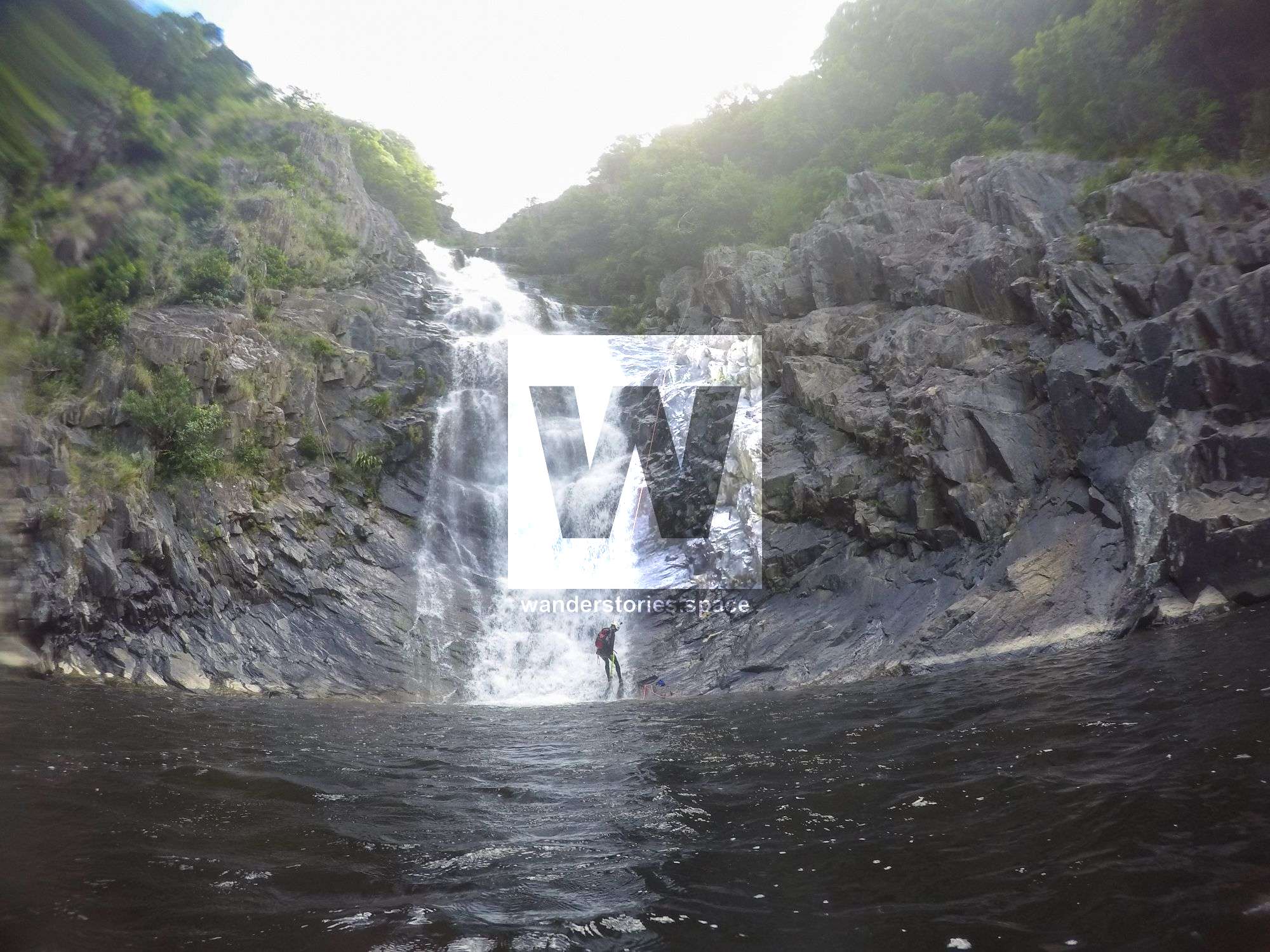
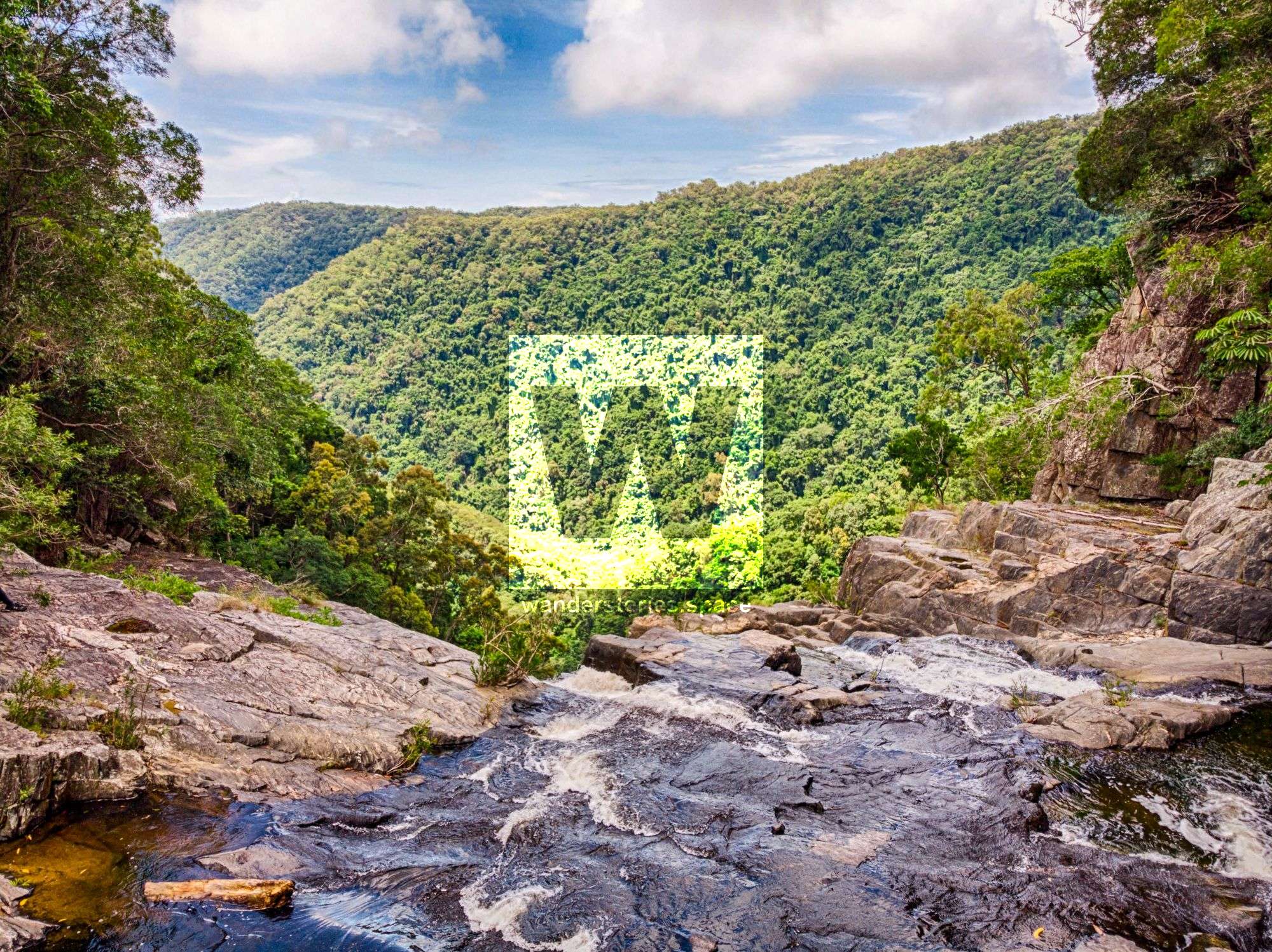
R6 45m NA-TL into pool
From tree, rap down into last section of waterfall to pool
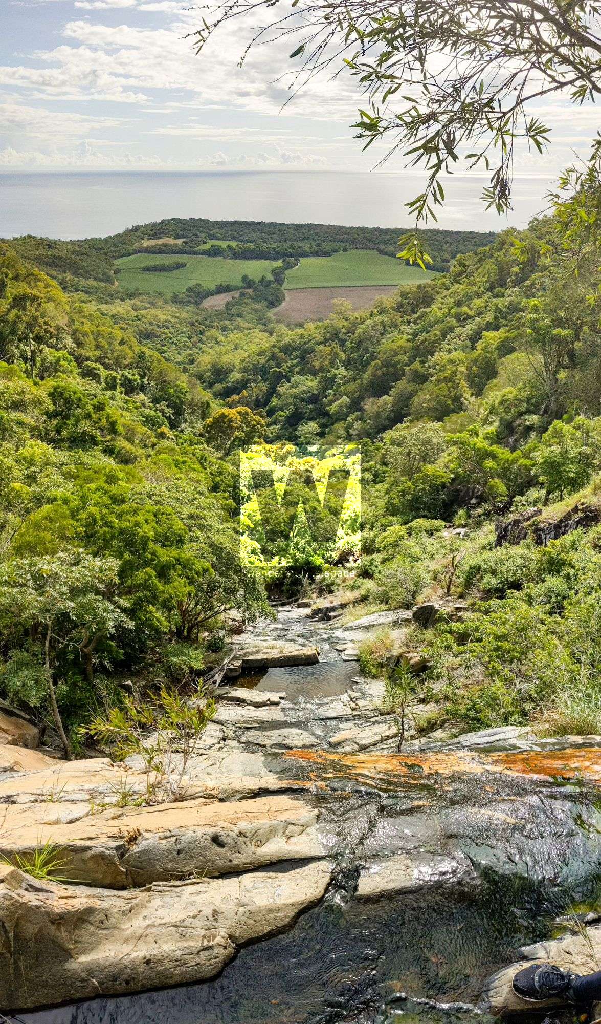
Exit
Continue downstream following the Spring Creek Falls track notes.
Notes
The canyon is best done with a car shuttle. The East Black Mount Road is rough and a four-wheel drive is needed.
Your team should have good navigation skills and appropriate experience.
WHAT YOU WILL NEED
- Experience in abseiling (there are some technical challenges)
- Enough rope for the longest rappel
- Rappel devices, prusiks, and webbing
- Grippy shoes on smooth, wet granite rocks
- Helmet
- Backpack
- Food and snacks for the day
- About one litre of water to hike to the top and a way to sterilise your water from the creek
Anchoring notes
There are various natural anchors throughout the canyon, however, it is not unusual to come across damaged trees, especially after large flooding events. Please use sound judgement when considering previously installed anchors, like tape slings, ropes, and other textiles. There are no bolts in this canyon.
Surfaces
Along the route, there are various sections of wet, slimy, and dry rock, as with all canyon environments. Please be mindful of your traction and regularly test your grip throughout the route as you cannot rely on the colour or texture of the rock to determine its safety against slippage. Take caution when near cliff edges.
Experience
No responsibility or liability is taken for any harm, death or loss of property resulting from the use of this article. You must carry anchor building materials, be experienced and use your own judgement when canyoning. Flooding events can strip anchors and change the canyons layout and conditions. Improper and insufficient experience will result in serious injuries or in many cases death. Always respect all signs you encounter and take everything in you brought with you.
Please read the Beginners' tips for canyoning in North Queensland article.
See our general disclaimer that includes canyoning.
Canyoning Topo
This canyoning topo is for illustration-purposes only.
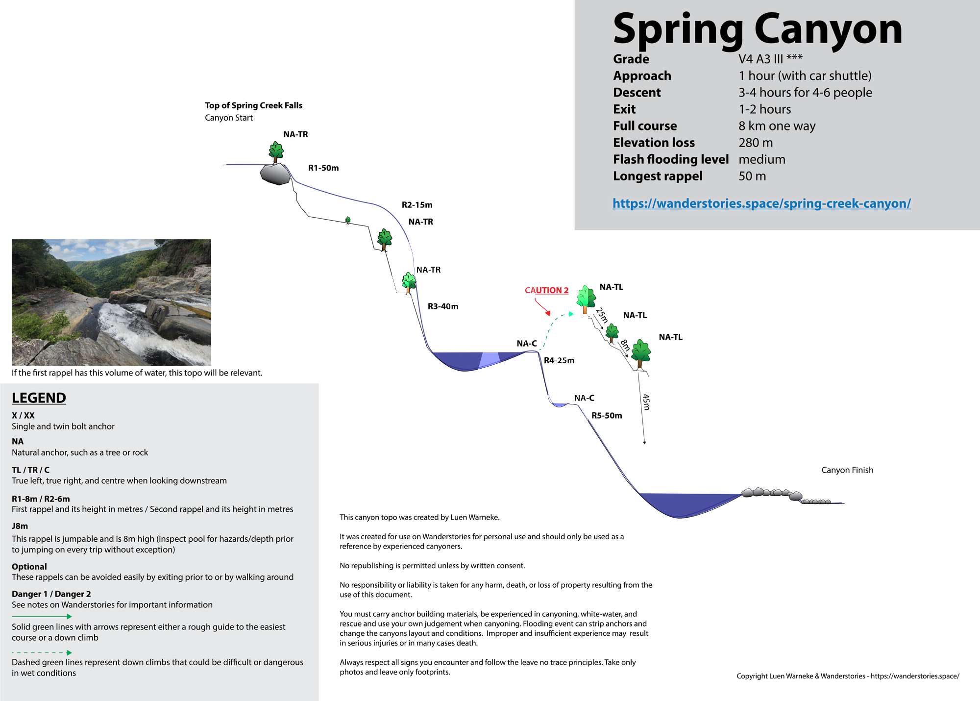
Legend
X / XX - Single and twin bolt anchor.
NA - Natural anchor such as a tree or rock.
TL / TR / C - True left, true right and centre when looking downstream.
R1-8m / R2-6m - First rappel and its height in metres, second rappel and height.
Optional - These rappels can be avoided by exiting prior or walking around.
Please note that an activity permit may be required in national parks.
If this information is outdated or you would like to make a correction, please contact us.
This article, and all other articles, are for entertainment purposes only and are not to be used as a guide. Please see our Disclaimer for more information.