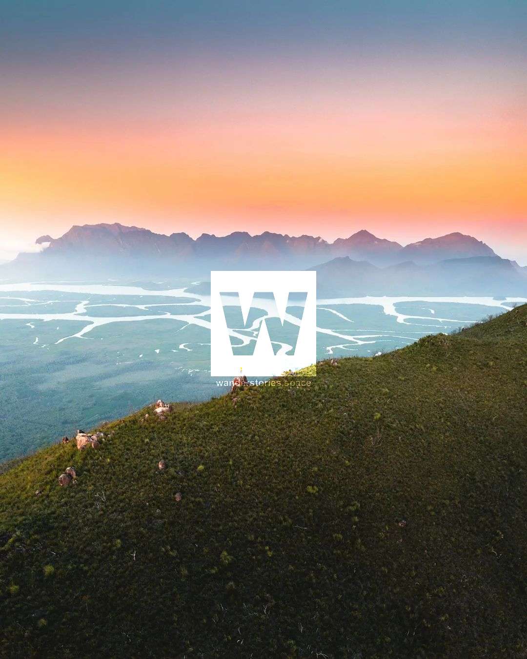
Bishop Peak
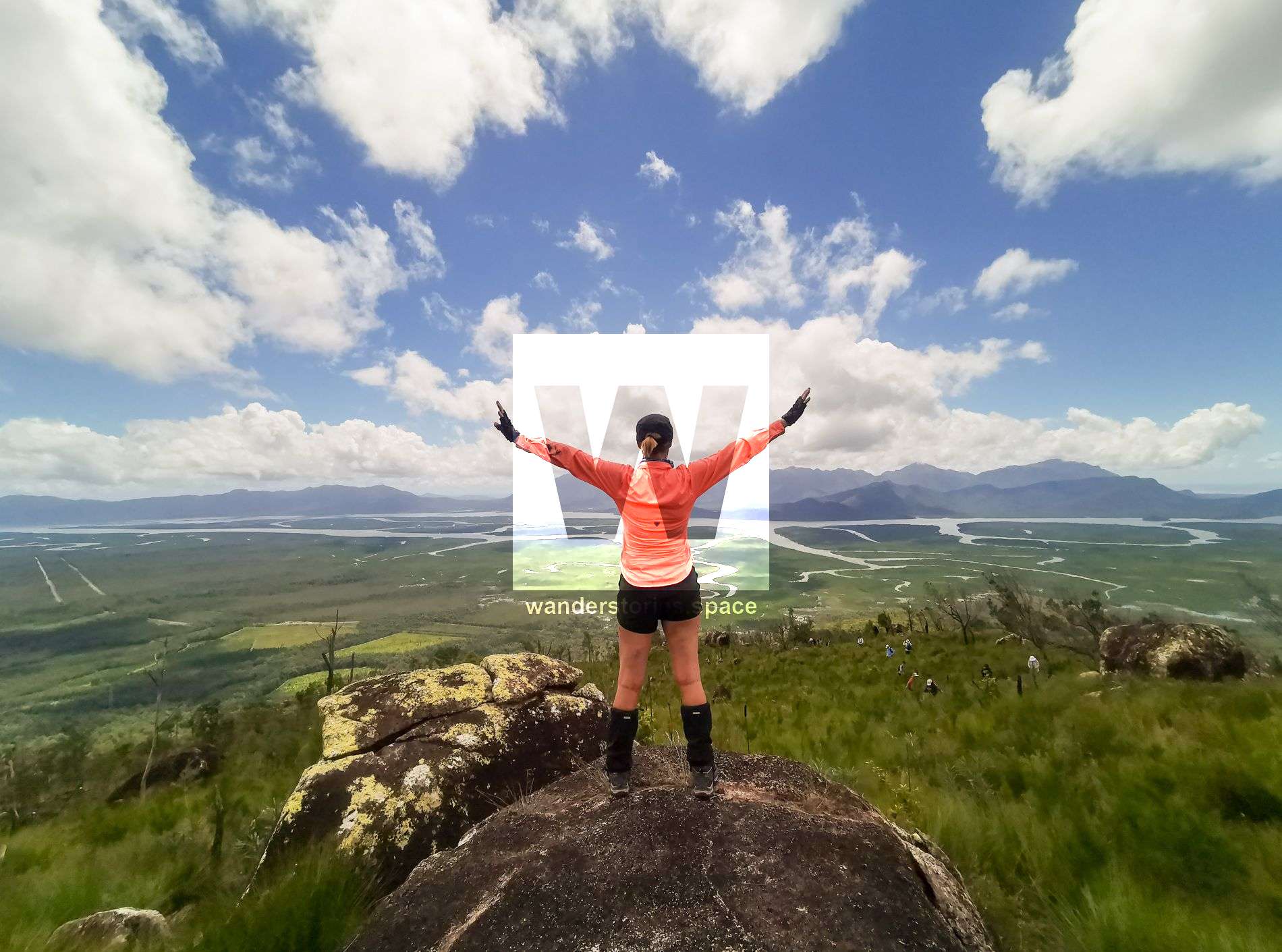
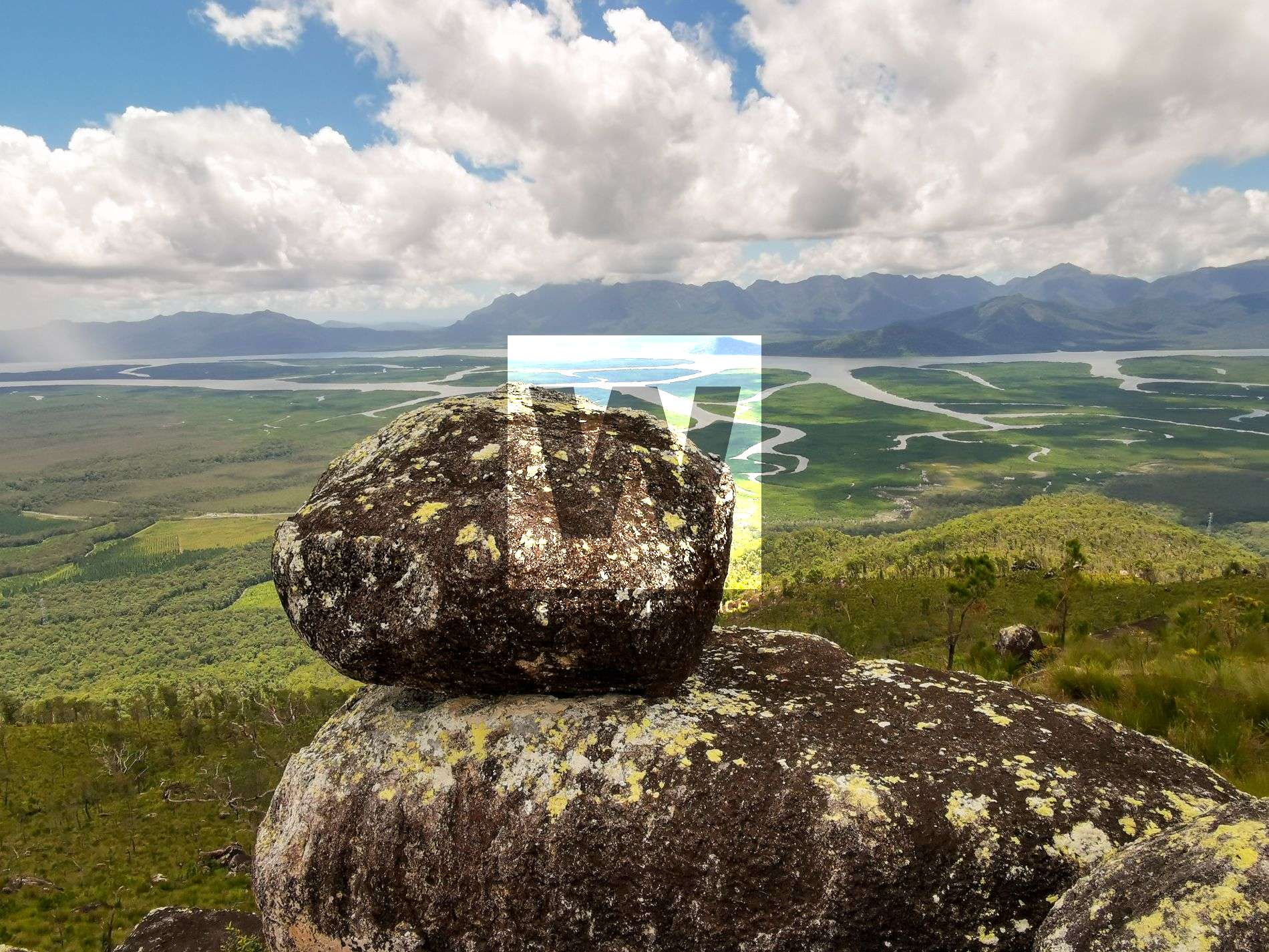
Bishop Peak has uninterrupted 360-degree summit views across the national park out to the ocean towards Hinchinbrook Island and Palm Island Group. Impressive granite boulders are scattered throughout the surrounding landscape.

Location - Girringun National Park, North Queensland, Australia
Grade - Grade 5, difficult, for experienced bushwalkers
Distance - ~7 km return
Time - Allow 7-12 hours return
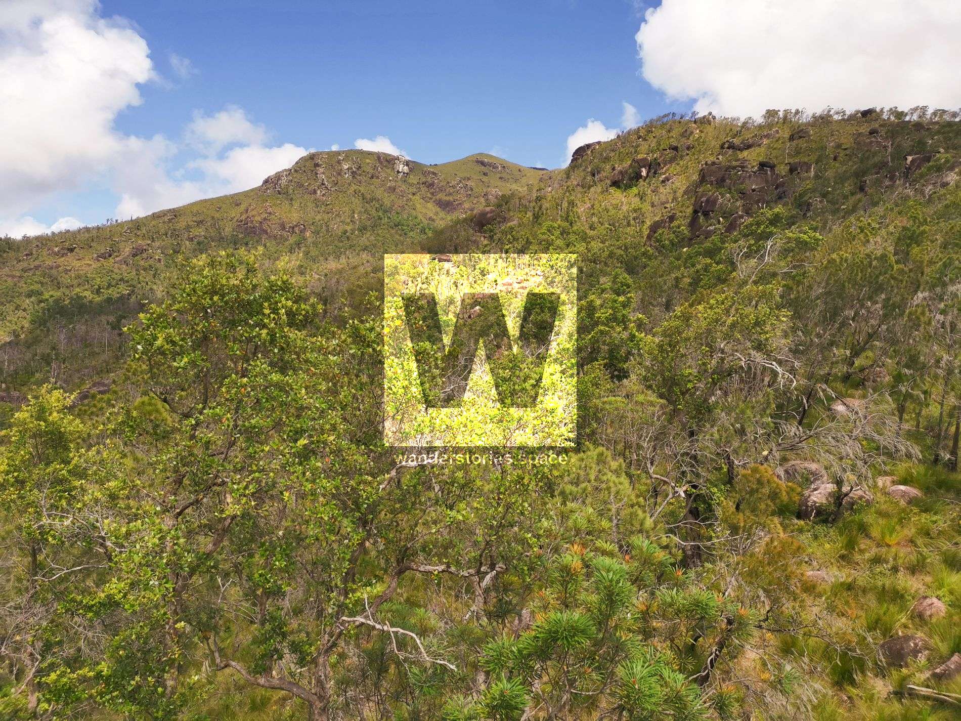
Bishop Peak (855m) is a grassy summit with views out to Hinchinbrook Island. The area has a lot of resemblance with Hinchinbrook Island itself and Mount Diamantina's impressive granite boulders surrounding the landscape.
This area is Alan Watson's favourite, an ex-president of the Townsville Bushwalking Club.
How to get there
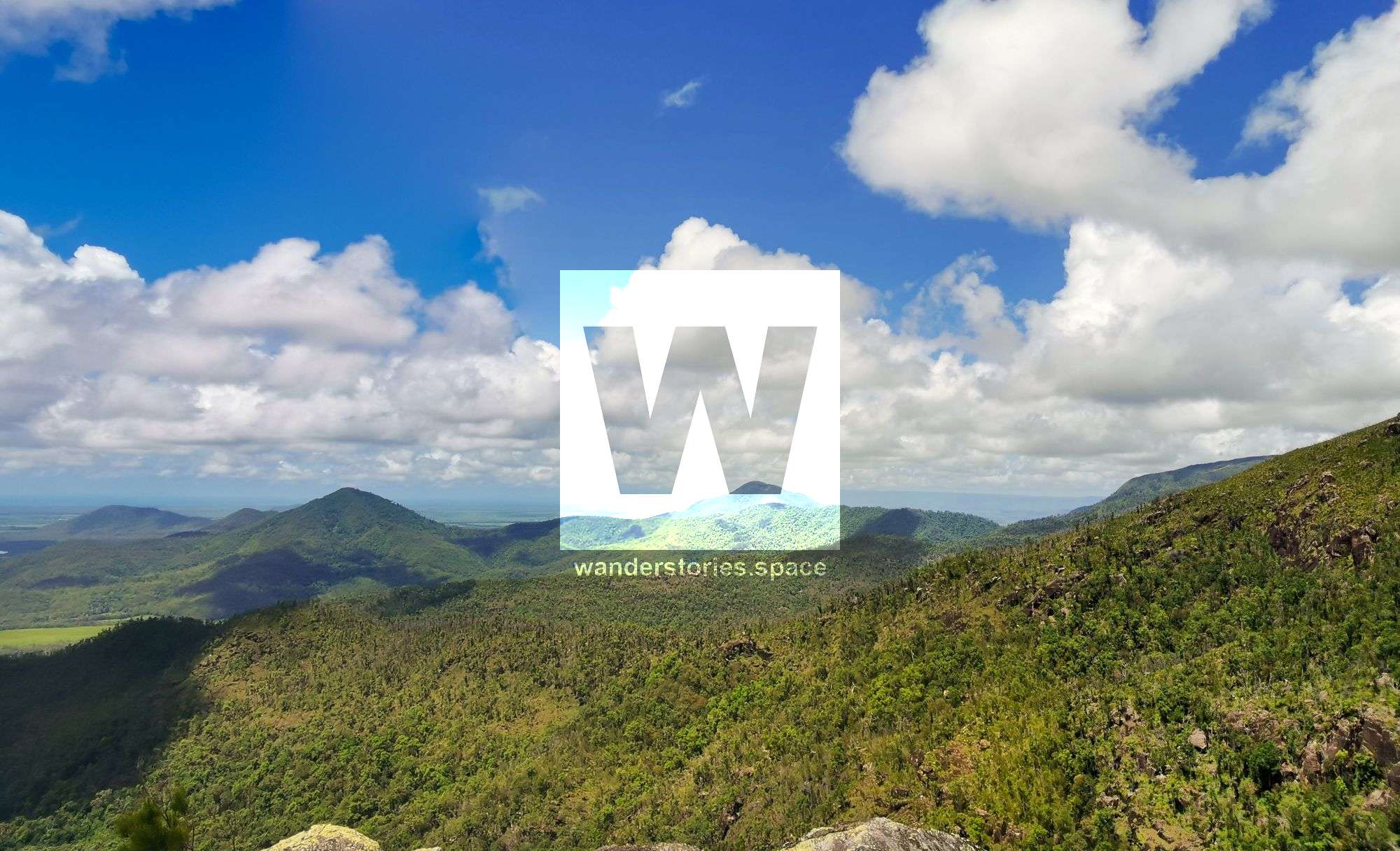
Drive towards Cardwell State Forest and find a place to park. Locate the ridgeline and start by walking to it through guinea grass (Megathyrsus maximuss) in the low country. Ascend the ridgeline and notice the vegetation change. Above 300 metres, the flora changes from eucalypt woodland to open grassland. Views out to Benjamin Flats, Hinchinbrook Island, and the Palm Island Group are visible at around 500 metres. You can see Waterfall Creek in the Paluma Range National Park on a clear day.
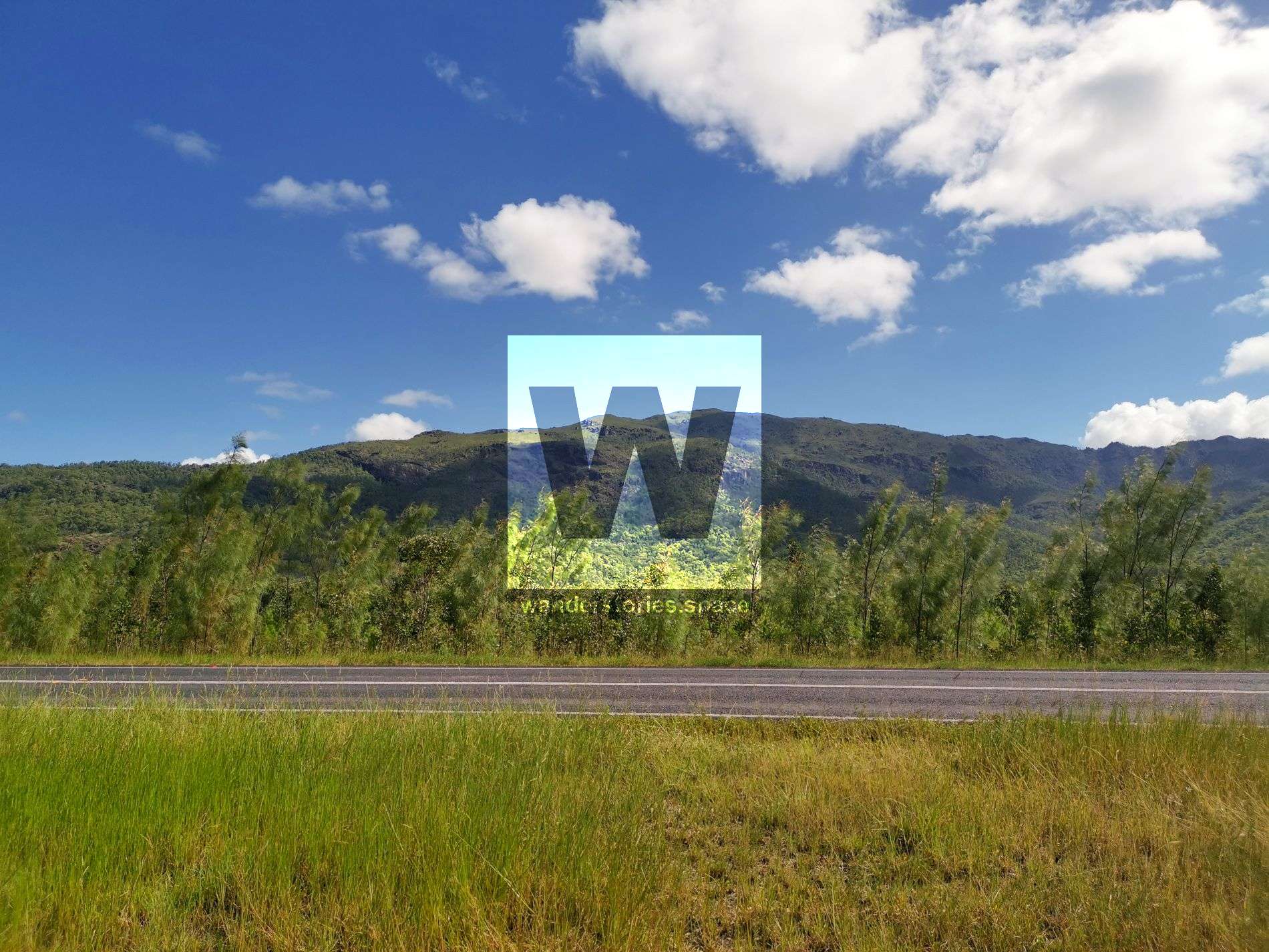
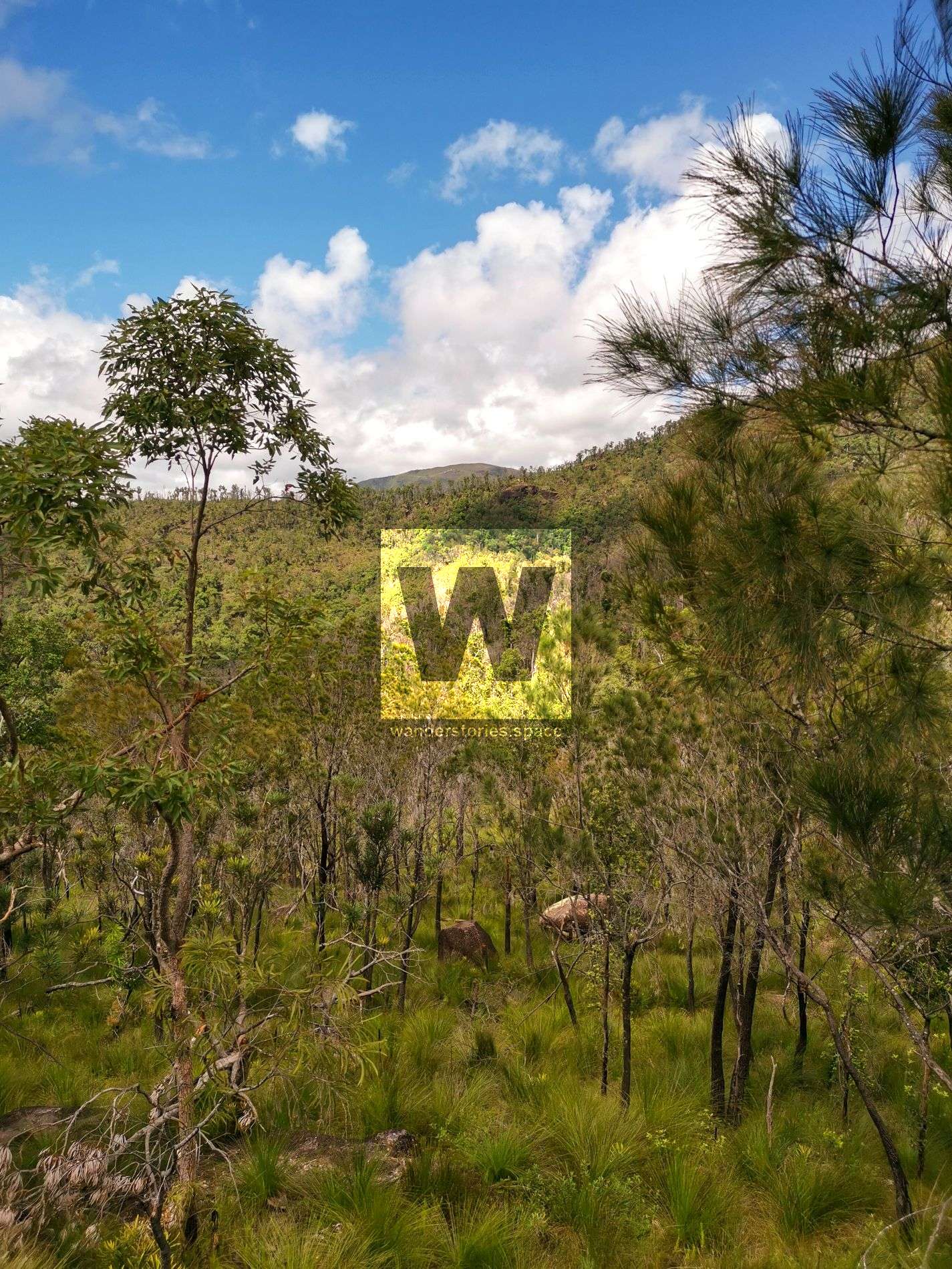
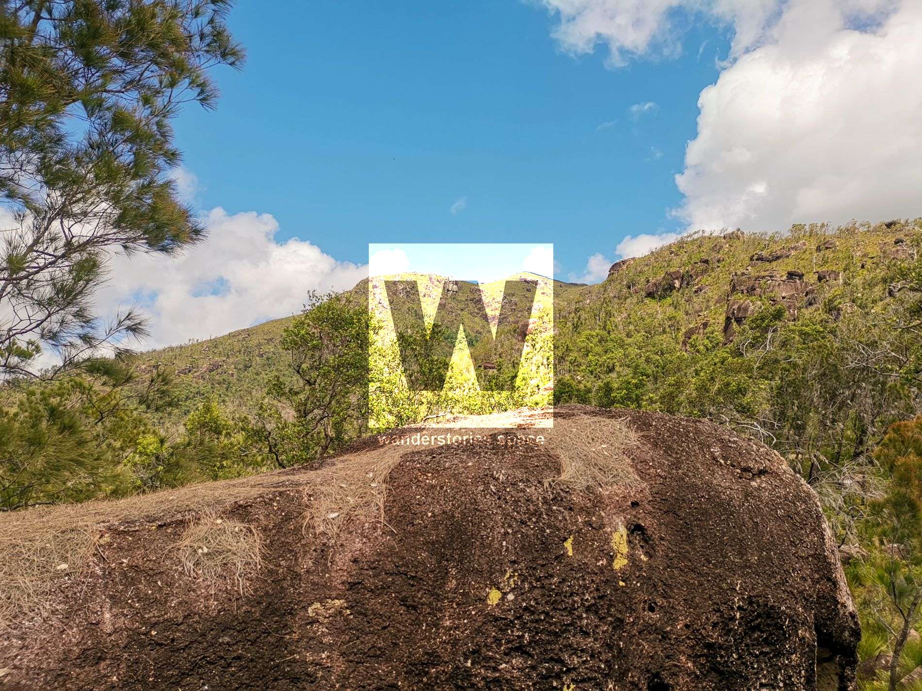
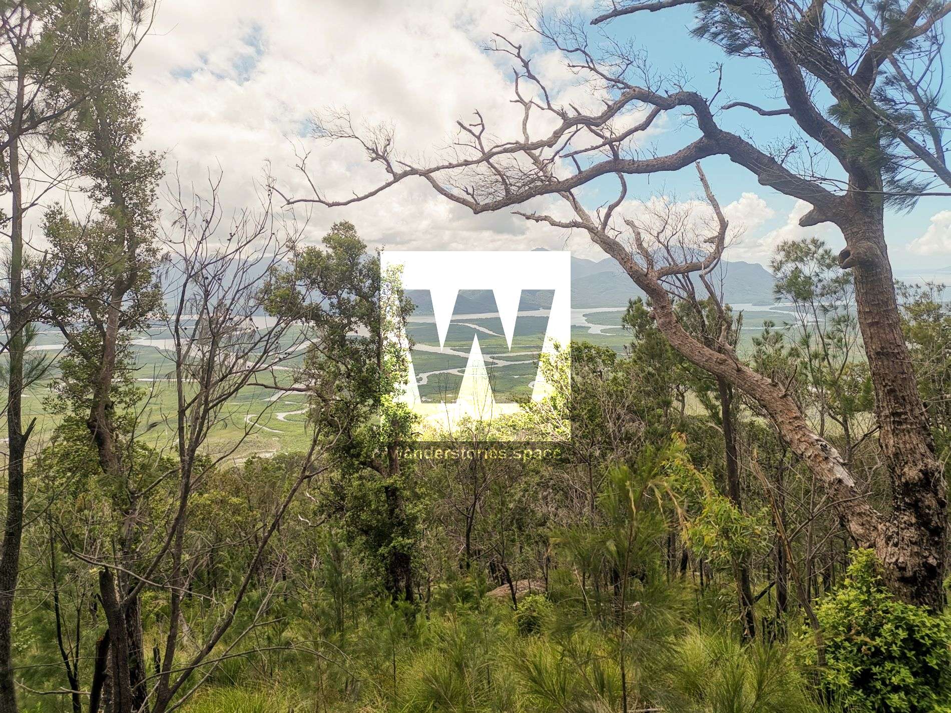
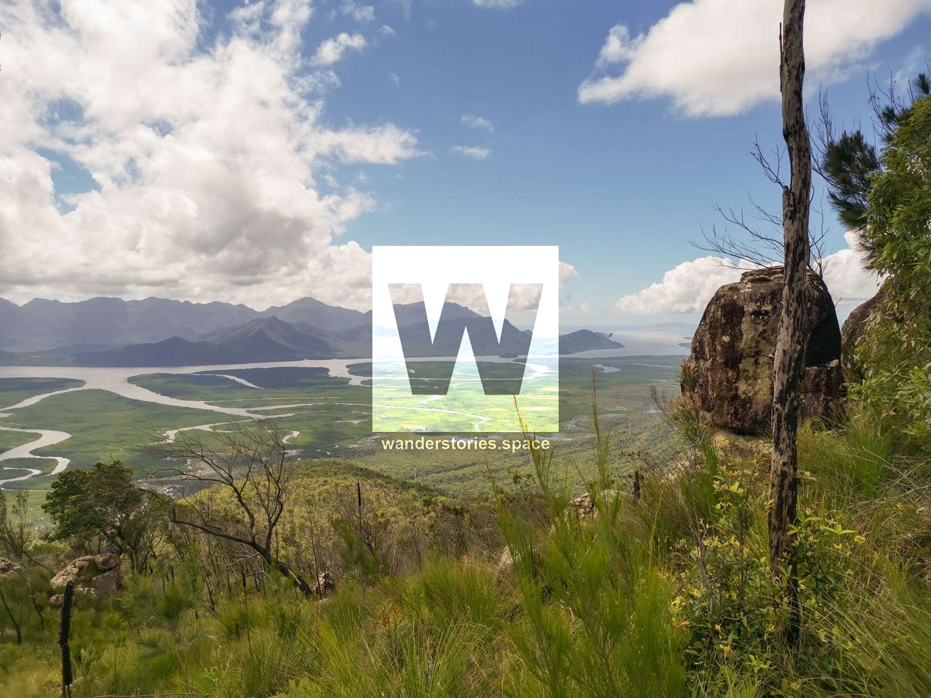
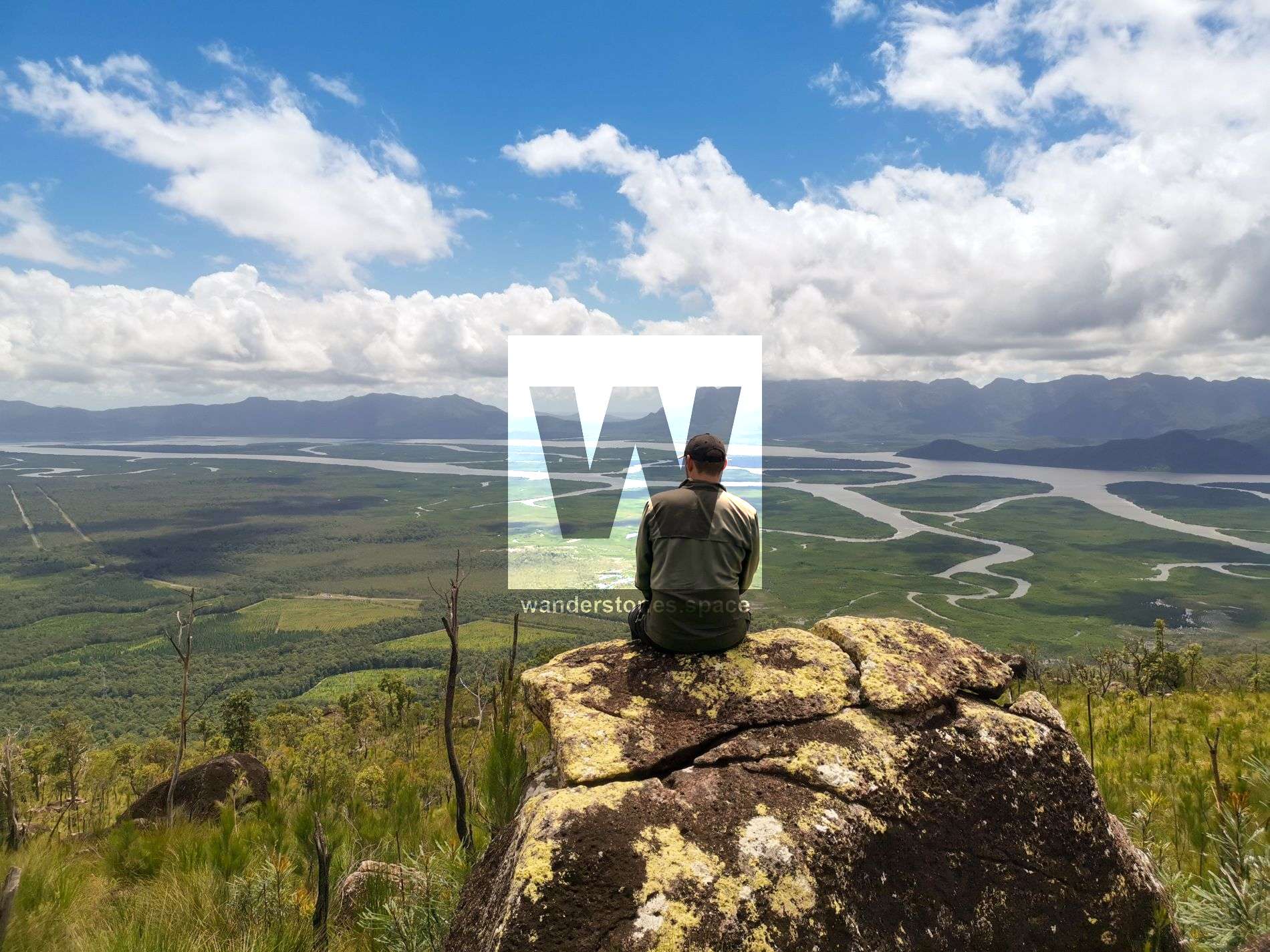
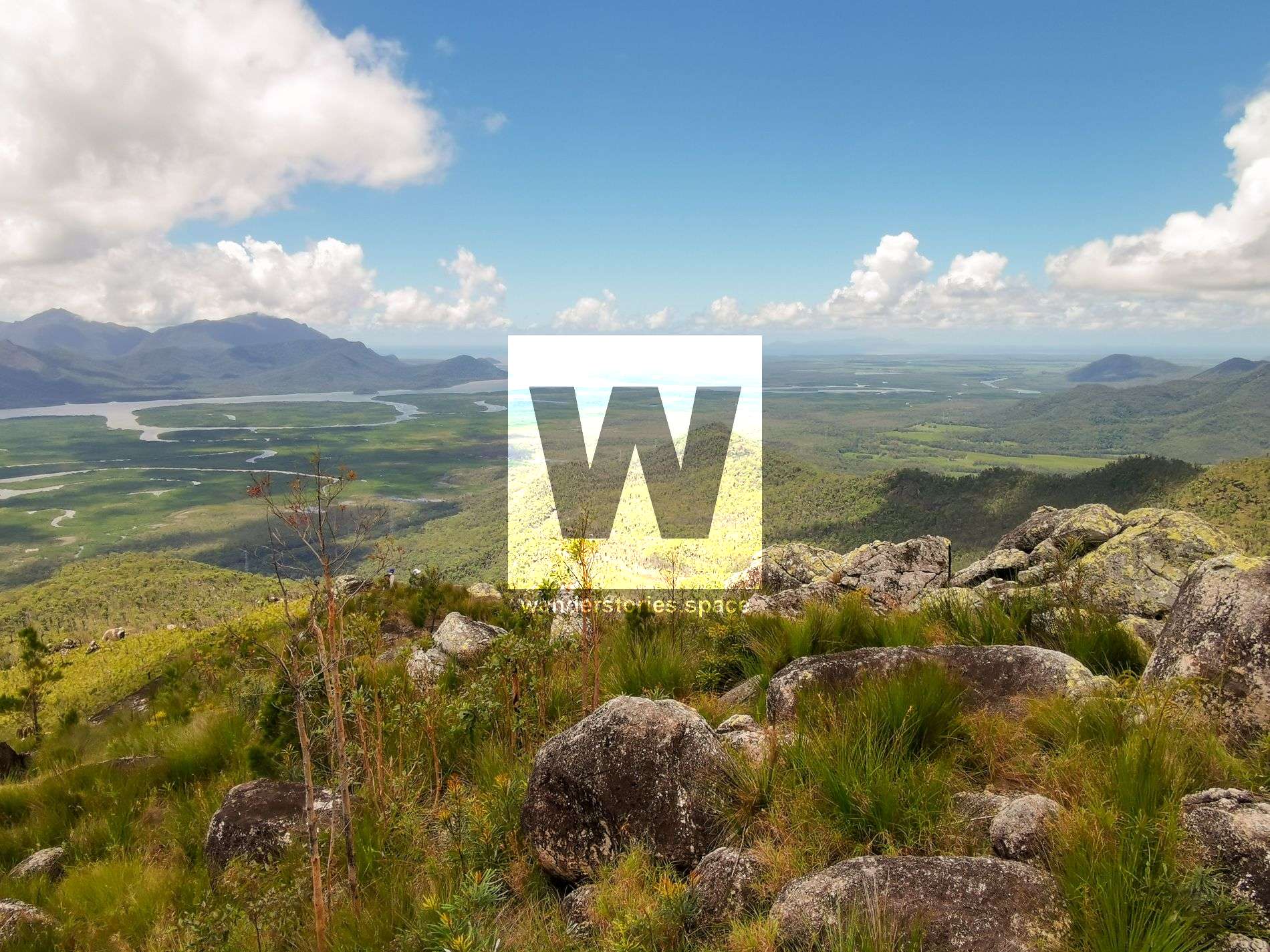
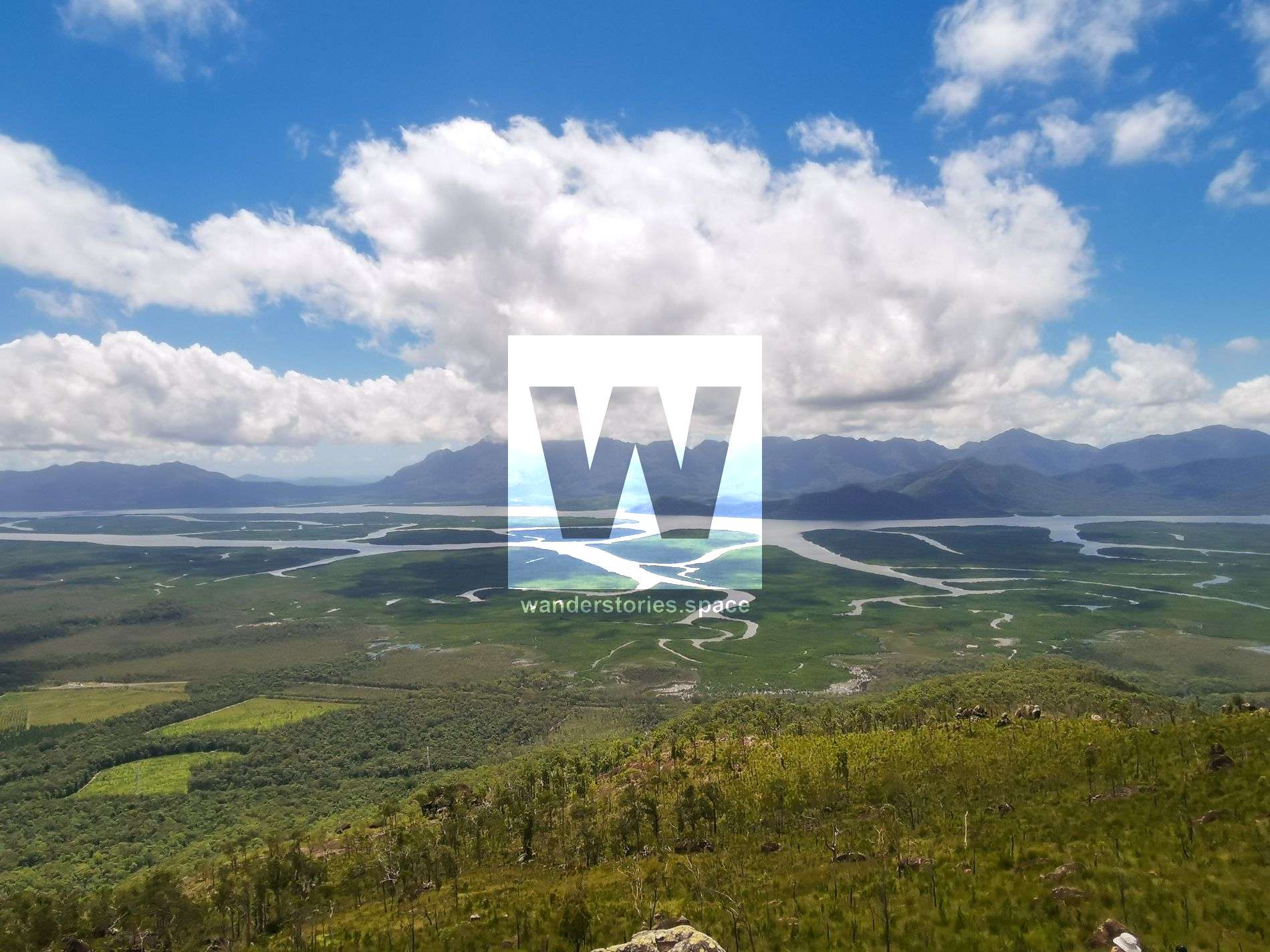
Photo credit: Matt Mallardi & Luen Warneke
Sunday Creek provides some glorious views across the landscape and fresh drinking water.
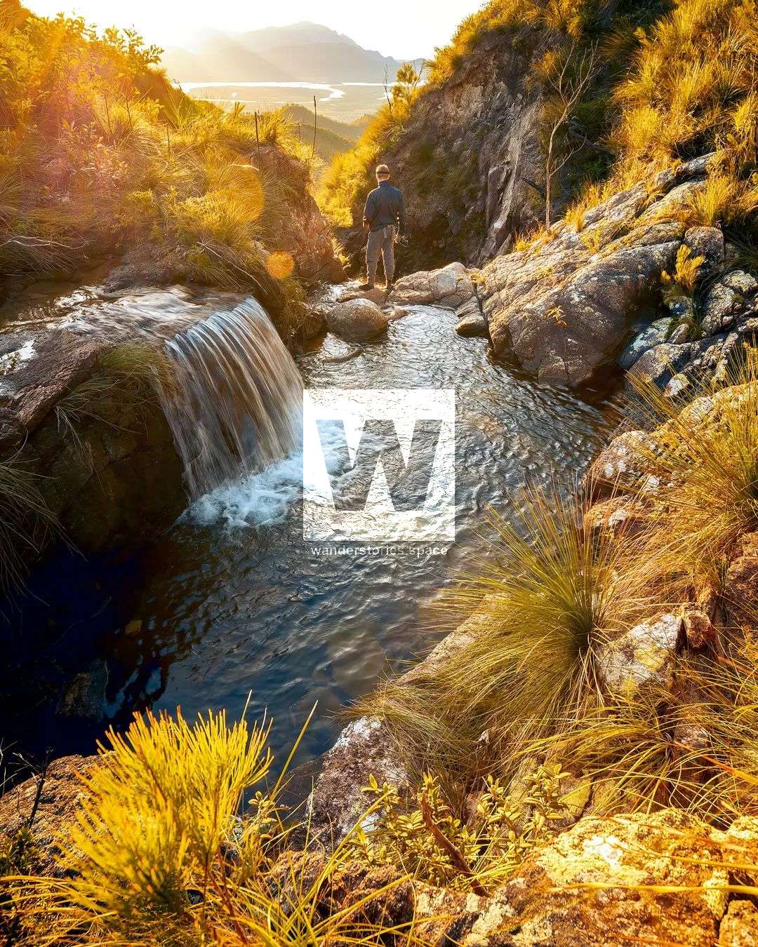
Sunday Creek; Photo credit: @jayroam_
Interactive Map
This is a sensitive area, just like Hinchinbrook Island, and extra care needs to be taken when visiting the area.
This article, and all other articles, are for entertainment purposes only and are not to be used as a guide. Please see our Disclaimer for more information.