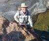
Bullocky Tom's Track
This track takes you from Paluma Dam all the way down to Paradise Waterhole, Crystal Creek. It is named after Thomas Edward Andrews who was born in 1848 in Wicklow, Ireland. He made his home at the junction of big and little crystal creeks and provided supplies to the tin miners near Paluma Village.

Location - Paluma Range National Park, North Queensland, Australia
Track - Paluma Dam to Paradise Waterhole, Crystal Creek
Distance - Approximately 15 km one way
Time - Allow 4-6 hours
Grade - 4
This track is one of the many trails at Paluma National Park.
This track is named after Thomas Edward Andrews, who was born in 1848 in Wicklow, Ireland. He made his home at the junction of Big Crystal Creek and Little Crystal Creek and lived there with his wife, Ruth, and their children. After his death on 13th January 1897, he was buried at Mount Ruth, a hill next to Big Crystal Creek. After Jacobsen's Track, Bullocky Tom's Track was the most-used pack-track up the coastal escarpment.
One theory suggests that Thomas based the track on an old aboriginal trail they used to travel between the coastal plain and the hinterland. Rumour has it that an Aboriginal boy had shown Thomas about the track and had almost certainly been used as "an escape route" for one "tribe" to get away from another. There are indications that there was a track that turned off Bullocky Tom's Track that used to head down to Crystal Falls. It is assumed that the early tin miners would have known about the falls, as they found tin everywhere in the creek all the way up to the mine shafts.
Bullocky Tom planted the mango trees along the track at a location now shown on maps as the 'Mango Tree'. Two orange trees mark his grave on Mount Ruth, a small hill about 800m from Mutarnee, and the small creek bordering the Andrews property is now called Bullocky Tom's Creek after this early settler.
The track connects the coastal lowlands with the top of the Paluma range, which was first opened up in the late 19th century when good quantities of tin were discovered, first as alluvials in the headwaters of Big Crystal Creek and its tributaries and then as lode tin near Mount Spec. Packhorse teams carried up the many supplies required by the miners and took down tin from the workings.
The track climbs from near sea level to nearly 1000 meters at mount Spec. In the steep sections of the track, benches were cut into the side of the mountains to give the horses a level foothold, without them the terrain would have been too steep to travel over.
In the days of Bullocky Tom, the track started at Ollera Creek where ships landed supplies brought up from Townsville, some 60 kilometres away. From there the track followed Big Crystal Creek upstream on the northern side, then followed Cairn Creek, before beginning the big climb up the ridgeline on the southern side of Cairn Creek into the top of the Paluma range.
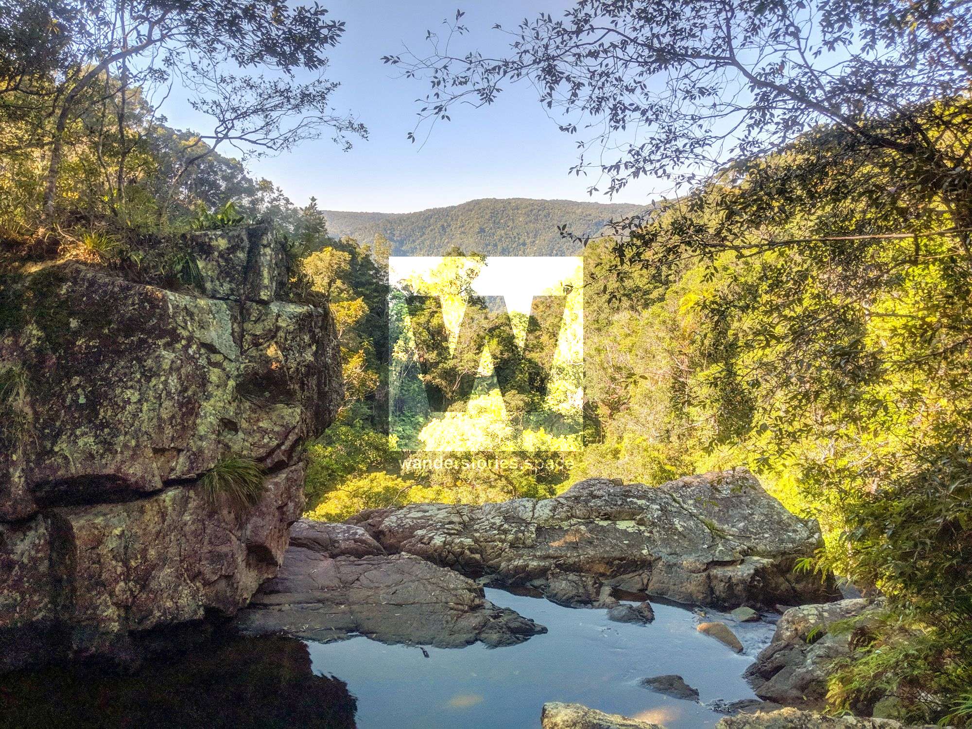
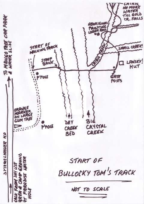
Today the walking track begins on the southern side of Big Crystal Creek near the National Parks camping ground and day-use area at Paradise Waterhole on Spiegelhauer Road. Follow the bitumen road for about 800m west until a small orange marker points you to the right onto an Ergon service track, at the second power pole the actual walking track begins on the right side of the track.
The track drops down a steep bank into the creek bed, first crossing a normally dry overflow and then the main rock-strewn creek bed, with the creek flowing on the far side. Care must be taken when crossing the creek as even during the dry season the flow of water is still quite strong and any wet rocks are very slippery, unless confident in rock-hopping it is safer to wade across the creek.
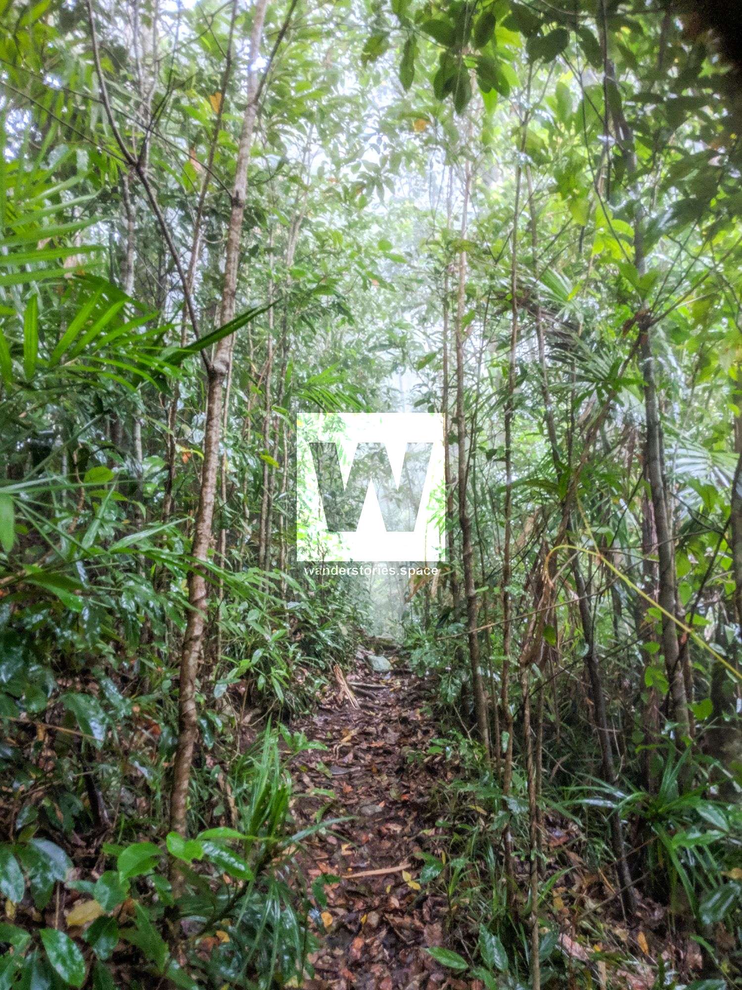
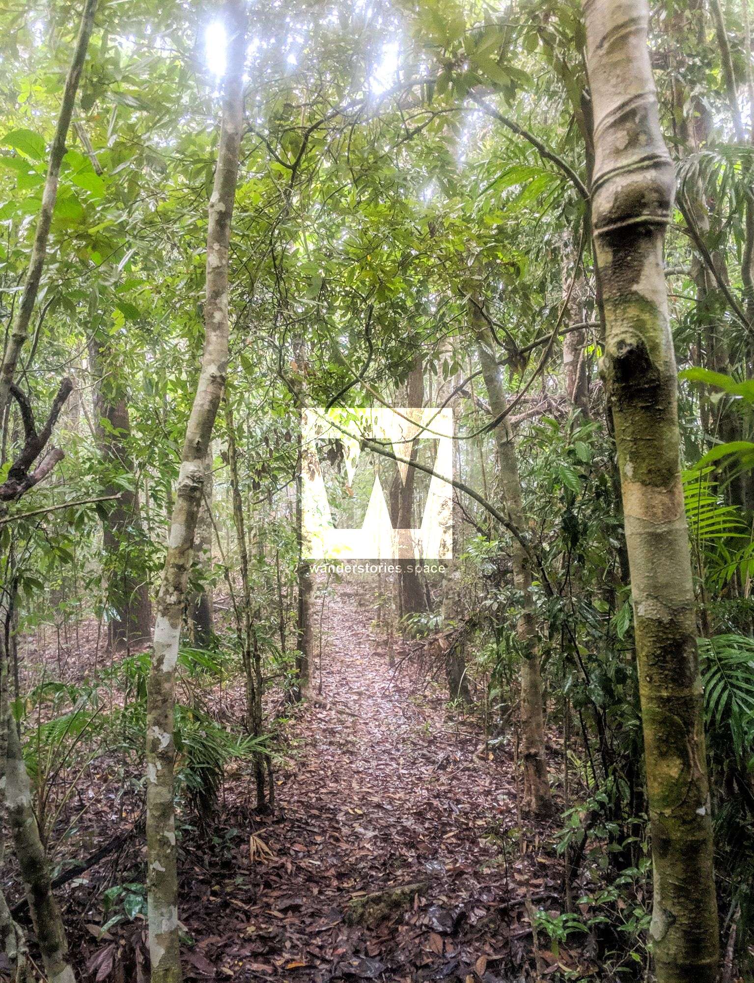
The track continues up the bank on the eastern side of the junction with Cairn Creek in a general northerly direction, through an old rusty barb wire fence of a private property which was resumed into the National Park many years ago. Inside the fence, the track turns left and heads in a general westerly direction past the remains of Lanskey's Hut, named after the last owners of the block before resumption. The track continues for about 1.5km through open grass and dry forest, crossing three small creeks that drain the southern slopes of Mount Leach.
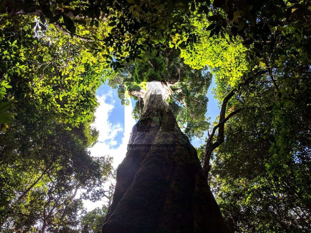
After crossing to the southern side of Cairn Creek, the track enters more dense forest, an aboriginal shelter with some faded ochre paintings can be found under a huge boulder on the left side of the track.

After crossing the creek once again the track continues on a short uphill and then downhill, over a small side creek, up and then downhill again, before emerging at a rocky clearing where a stone cairn on the southern side of the creek marks where the track leaves the creek for good.
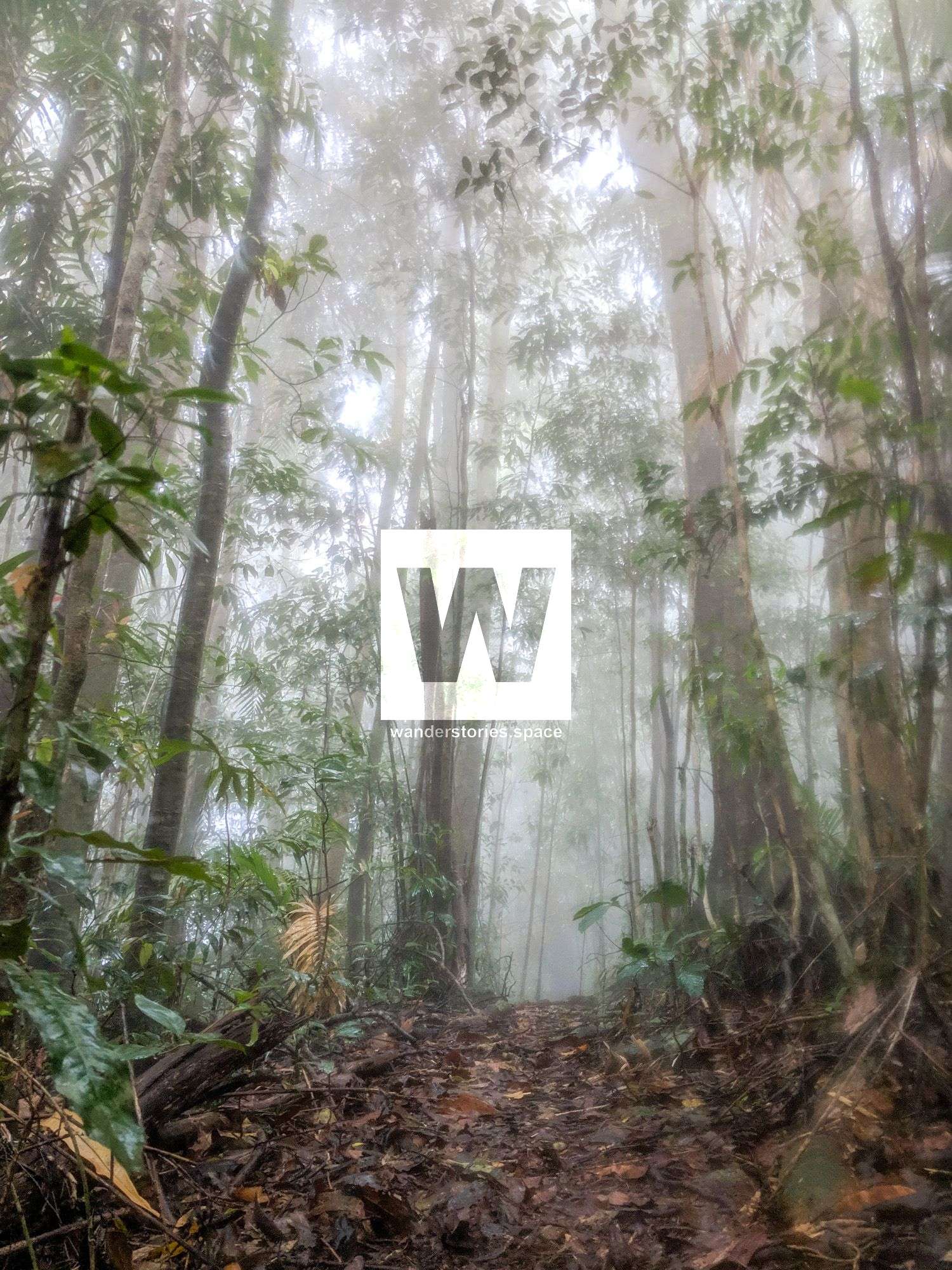
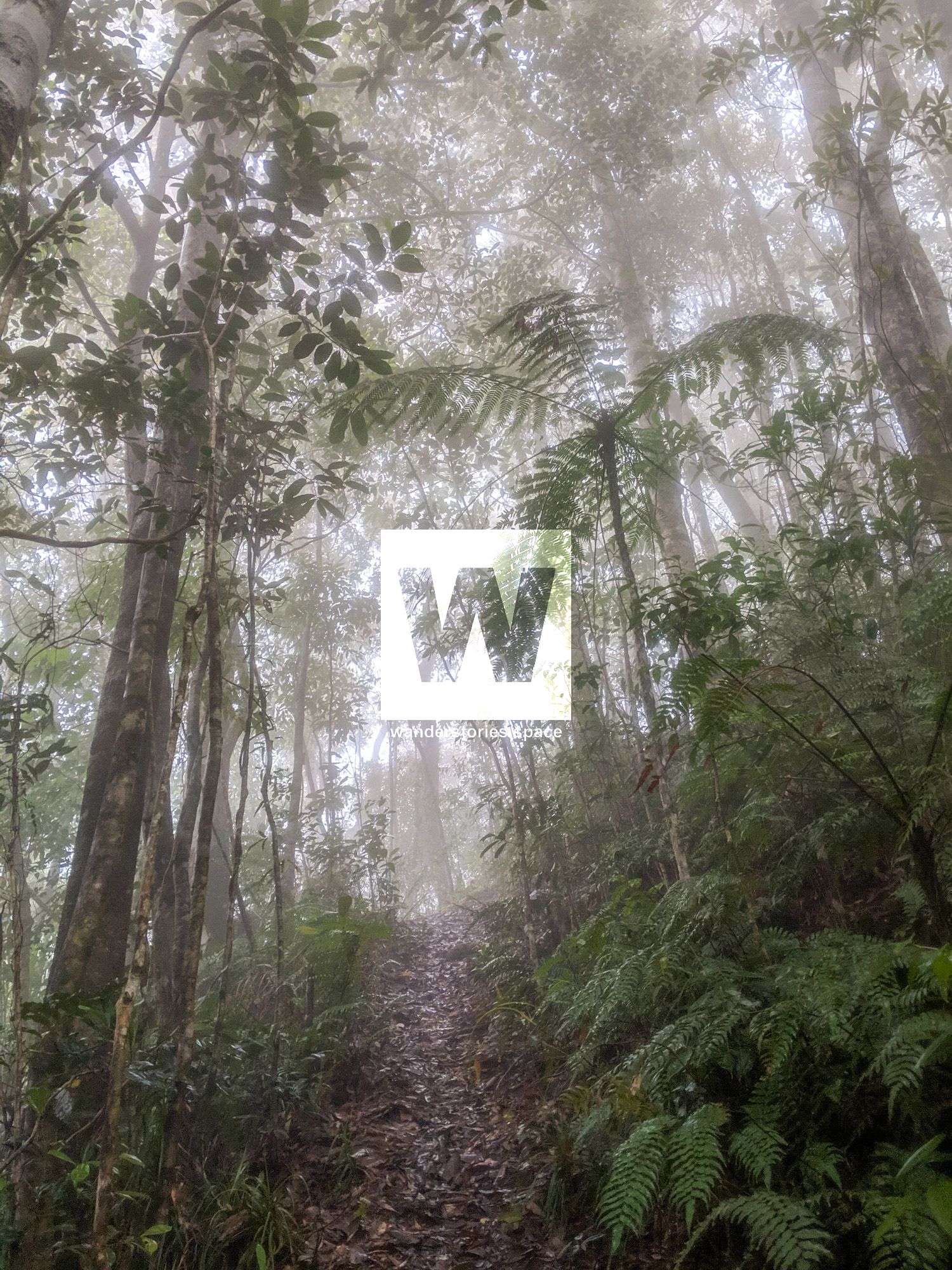
Walkers should replenish their water supplies here as there will be no water until Gold Creek Falls, two to three hours later and with the majority of the climbing behind them. The track now climbs quite steeply through eucalypt, casuarina and then rainforest.
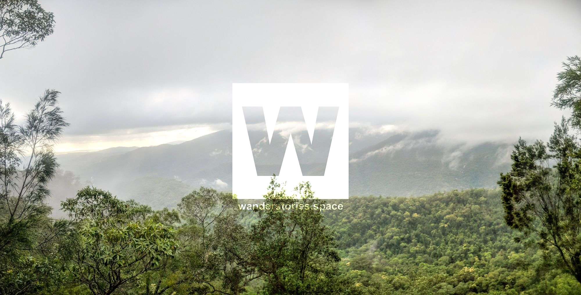
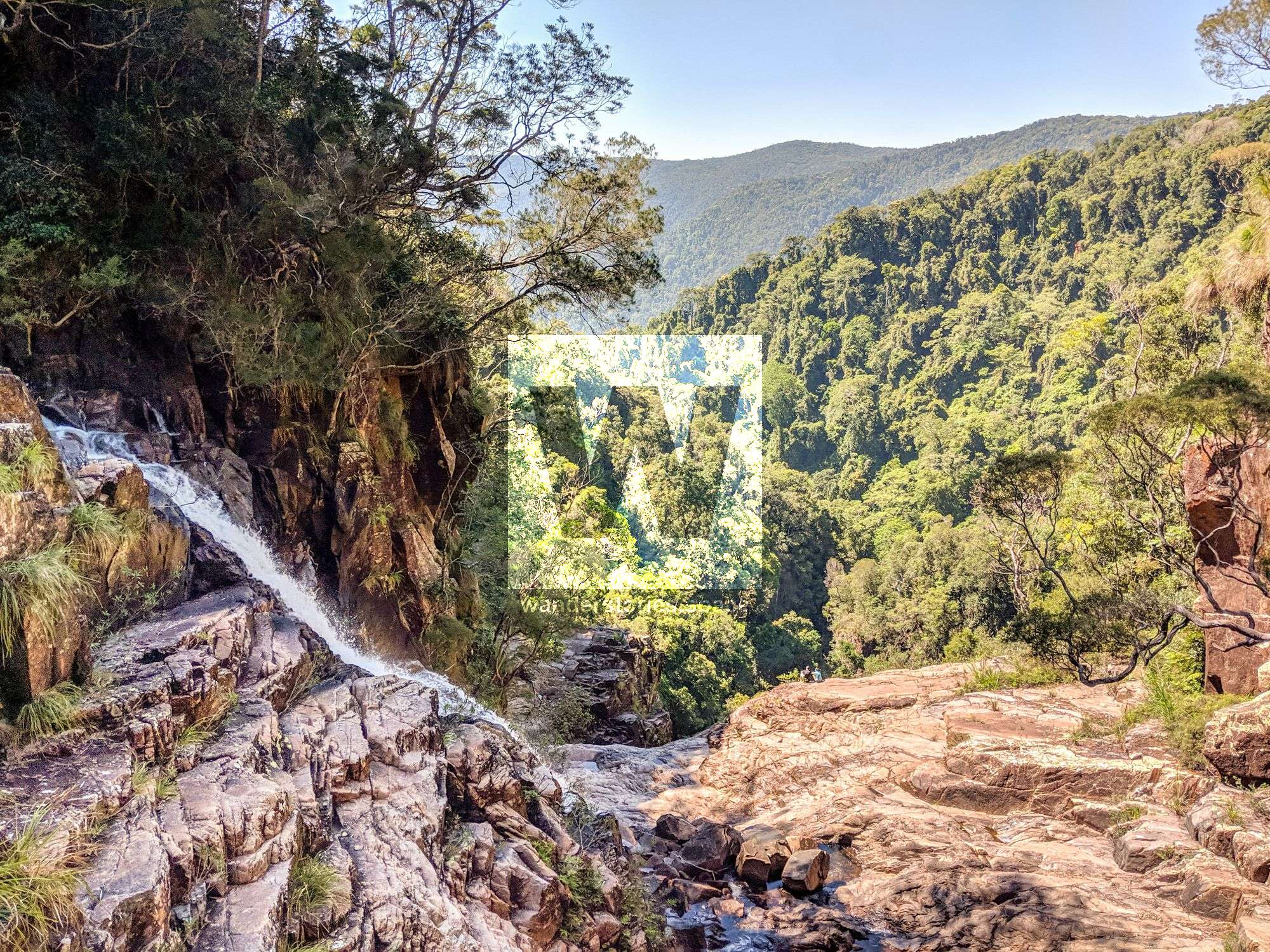
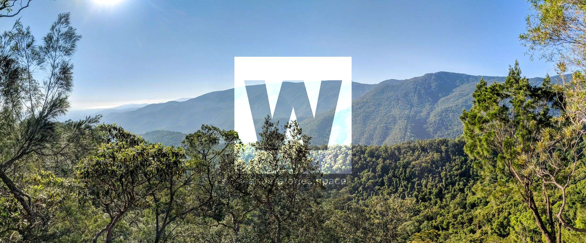
A welcome rest spot is Cloudy Lookout, a rocky outcrop overlooking the whole Crystal Creek valley and directly opposite Cloudy Creek, which drains the north-facing slopes of the valley. The track continues to climb until the sounds of Gold Creek Falls can be heard, care must be taken when the track crosses a watershed with steep drop-offs on either side. A swimming hole at the top of Gold Creek Falls (track marker No 27) is a great lunch spot, a quick dip in the cool waters easing weary muscles and bones.

The track crosses Gold Creek and again care must be taken on the slippery rocks, even though a rope does give some support, 15 minutes later at track marker 28 the track splits into two. Bullocky Tom's track continues on to the tin mining area around Mount Spec, alternatively, the left track takes walkers via Big Crystal Creek falls to the Paluma dam camping ground (two hours walk).
This walk should only be attempted by fit, experienced and well-equipped bushwalkers. The total distance of 17.7 kilometres to Paluma dam may not sound overly long it is the climb to nearly 1000 metres in altitude which makes this walk a serious adventure. The track has been cleared since Cyclone Yasi 2011 and is well marked with markers and ribbons. Sometimes fallen trees and vegetation may obscure the track and walkers must ensure that they don't lose the track.
A car shuffle is recommended so you can do this as a through-walk.
This can be done in a circuit via contouring around the range at the base of the range to Foxlee's Track. The linking of the two trails is entirely off-track and excellent navigational skills are required. Be mindful of the private properties and do not trespass.
Car Travel Times
- Townsville to Paluma Dam 1 - 1½ hours
- Townsville to Big Crystal Ck - 50 minutes
- Paluma Dam to Big Crystal Ck - 50 minutes
Walk Details
- Distance 17.7km
- Total ascent 1203m
- Start elevation 58m
- End elevation 910m
Notes
- Rough track through scrub and rainforest
- Track marked with orange plastic markers and flagging tape
- Several creek crossings
- Extended steep and slippery sections
- Possibility of leeches (almost certain if raining) and ticks - check yourself carefully after walk. Also watch out for snakes
- Wait-a-while and stinging trees are encountered on this track
- Maximum time between water points - 2 ½ hours (Water Refill to Gold Ck Falls)
- Suitable for fit, experienced bushwalkers only
Walk Times (easy pace)
- Car Park to Water Refill - 90 minutes
- Water Refill to Rocky Outcrop 2 - 90 minutes
- Rocky Outcrop 2 to Gold Ck Falls - 60 minutes
- Gold Ck Falls to Upper Crystal Ck Falls - 50 minutes
- Upper Crystal Ck Falls to Paluma Dam - 100 minutes
Suggested breaks
- Water Refill - 30 minutes
- Rocky Outcrop 2 - 20 minutes
- Gold Ck Falls - 40 minutes
- Upper Crystal Ck Falls - 60 minutes
Interactive Map
Here's a suggested route for Bullocky Tom's Track via Crystal Falls. There are several other routes you could take, see the map of the Paluma trails.
Mud map
Here's a mud map of the start (bottom) of the track so you know where park your car.
This article, and all other articles, are for entertainment purposes only and are not to be used as a guide. Please see our Disclaimer for more information.