Flagstone Canyon, Flagstone Creek
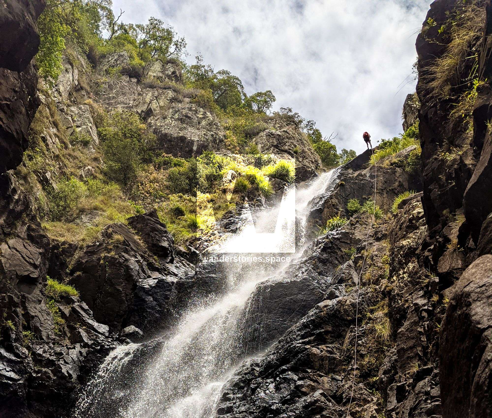
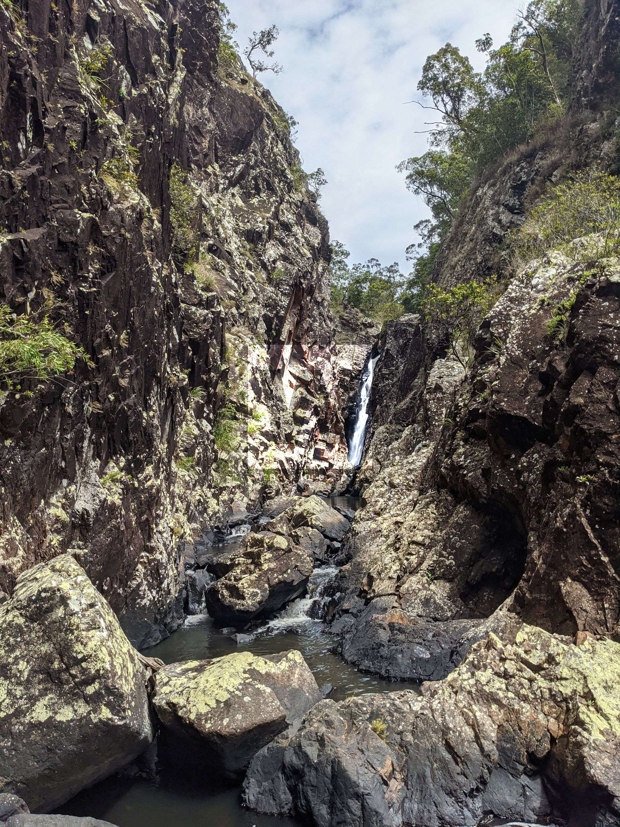
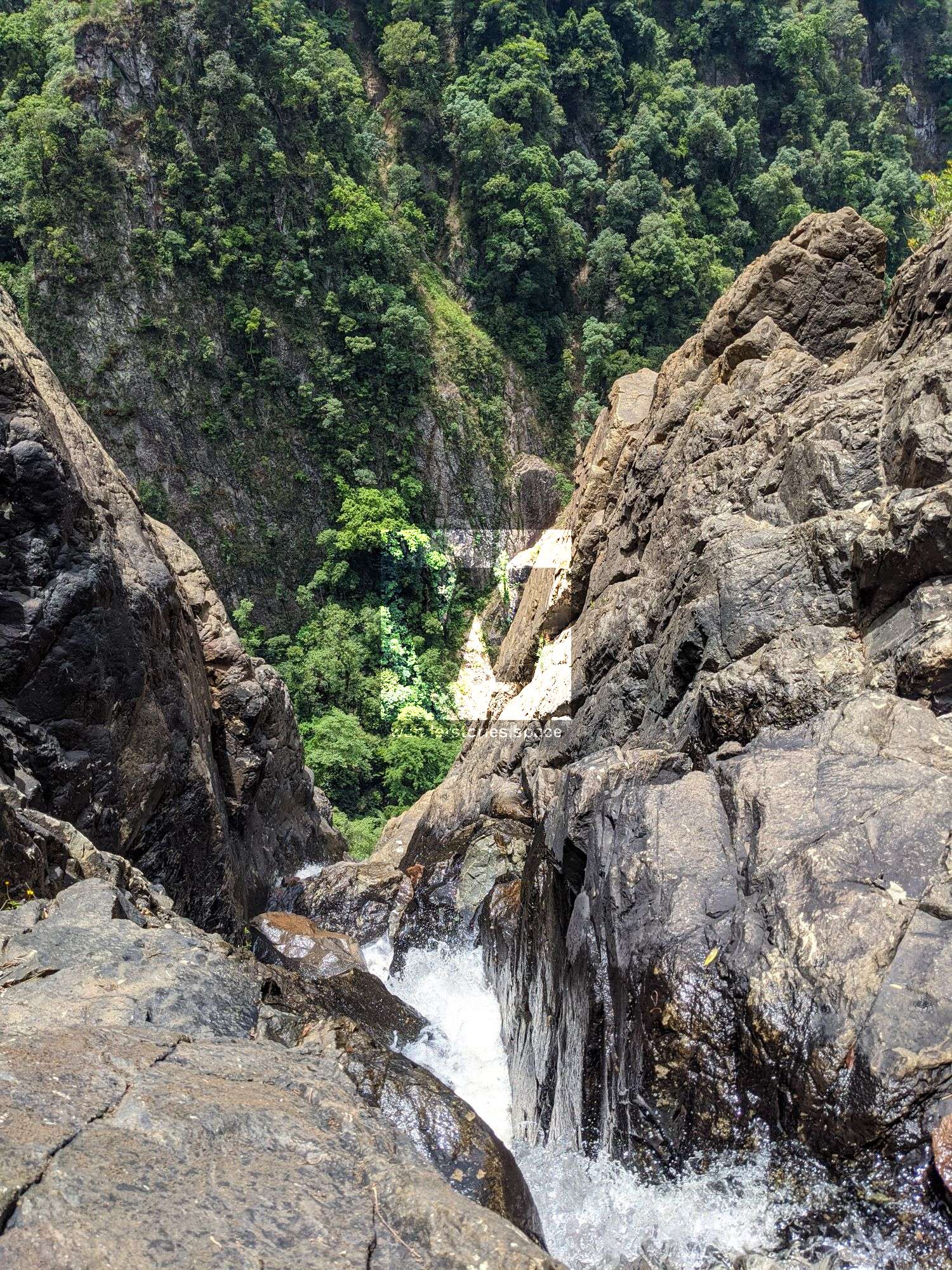
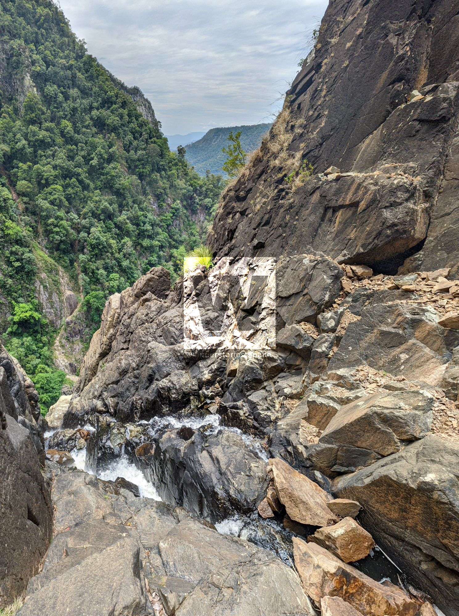
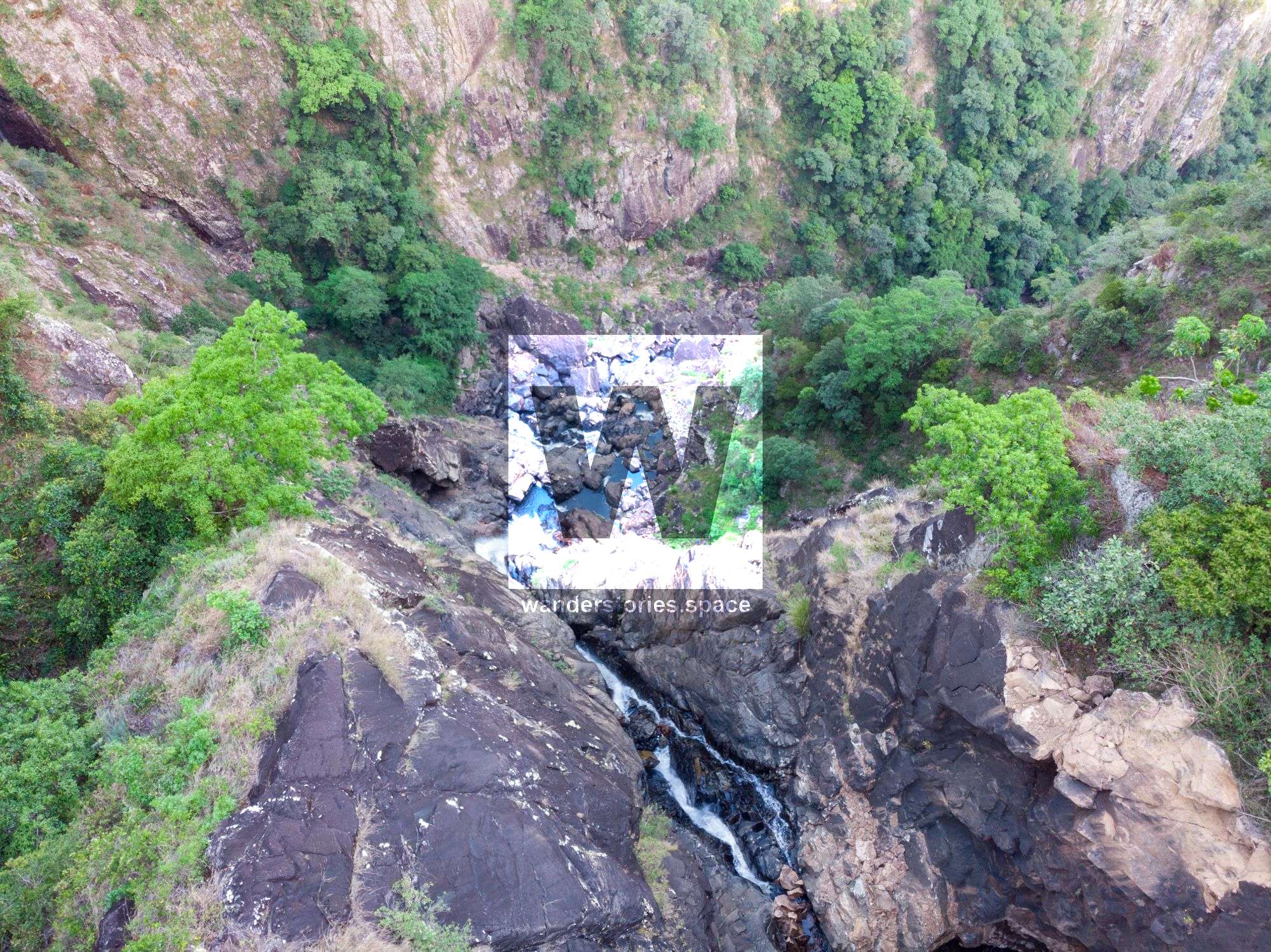
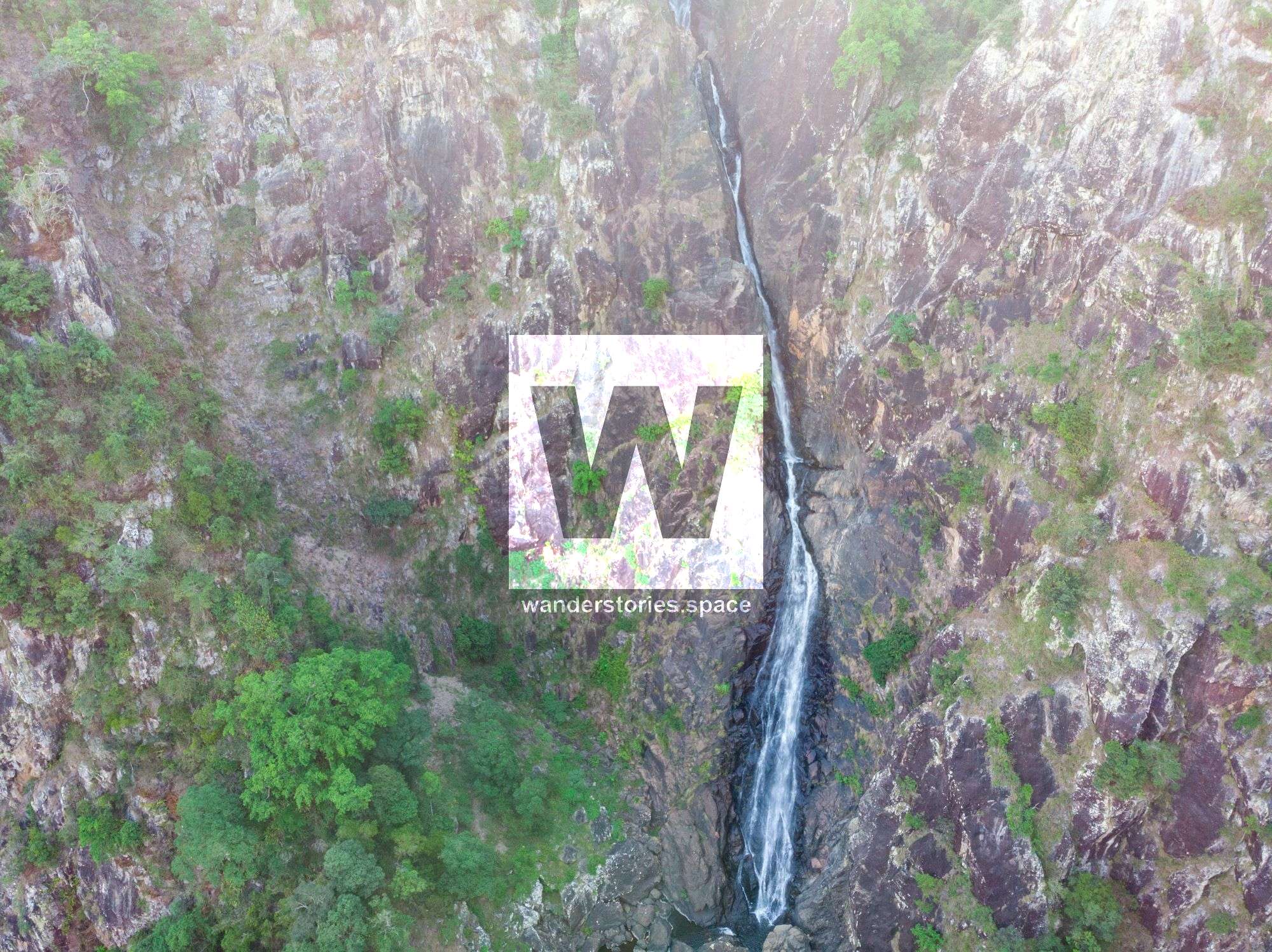
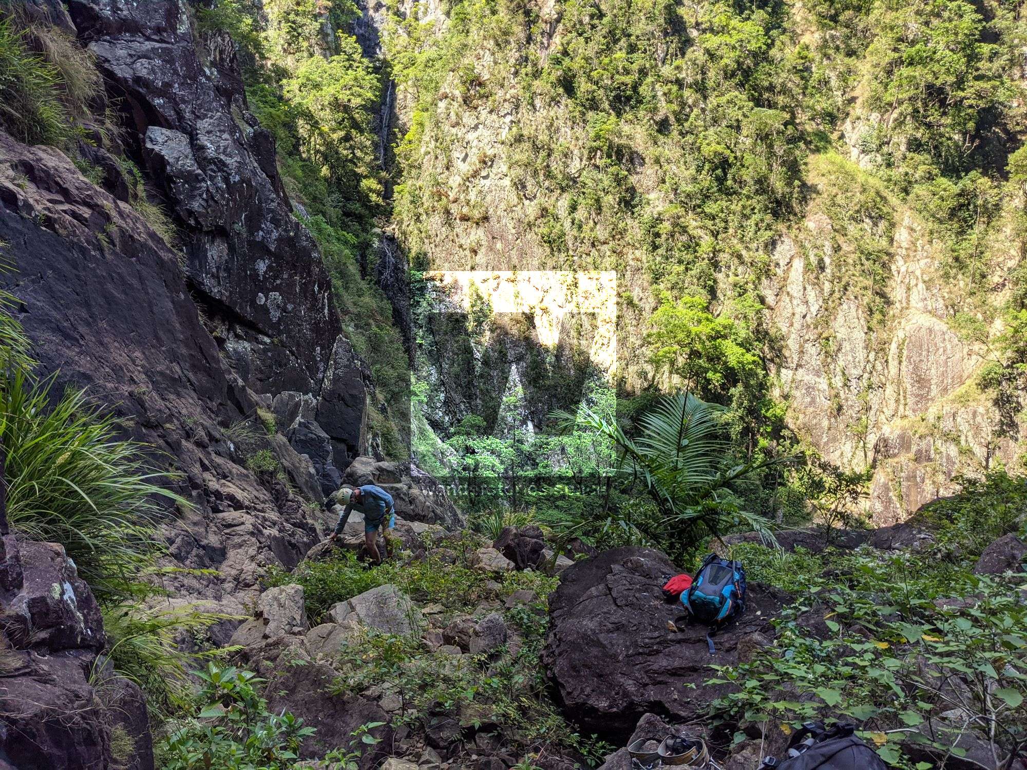
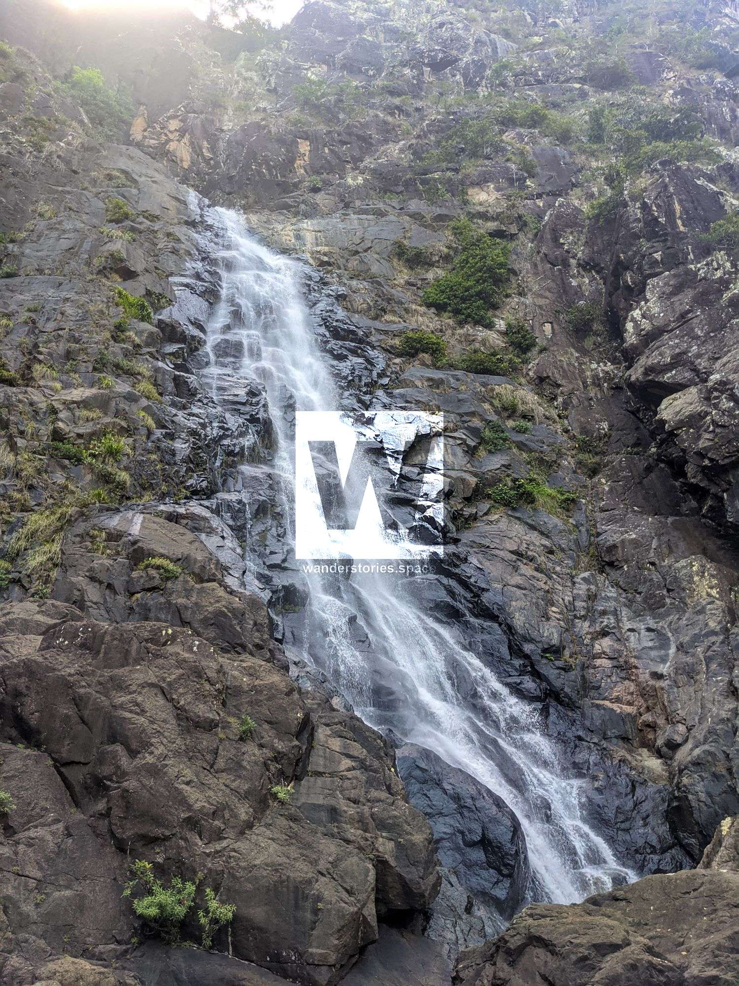
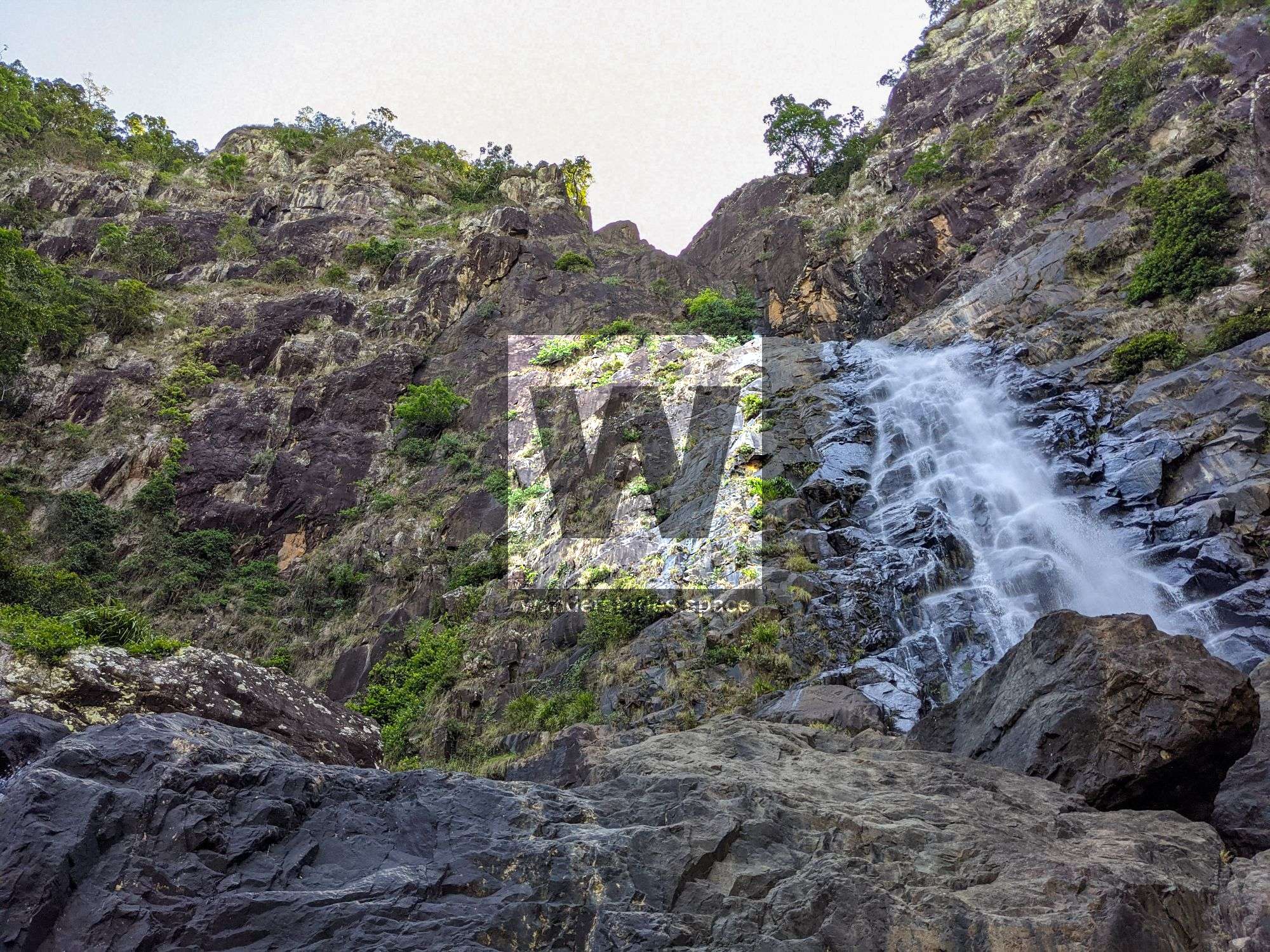
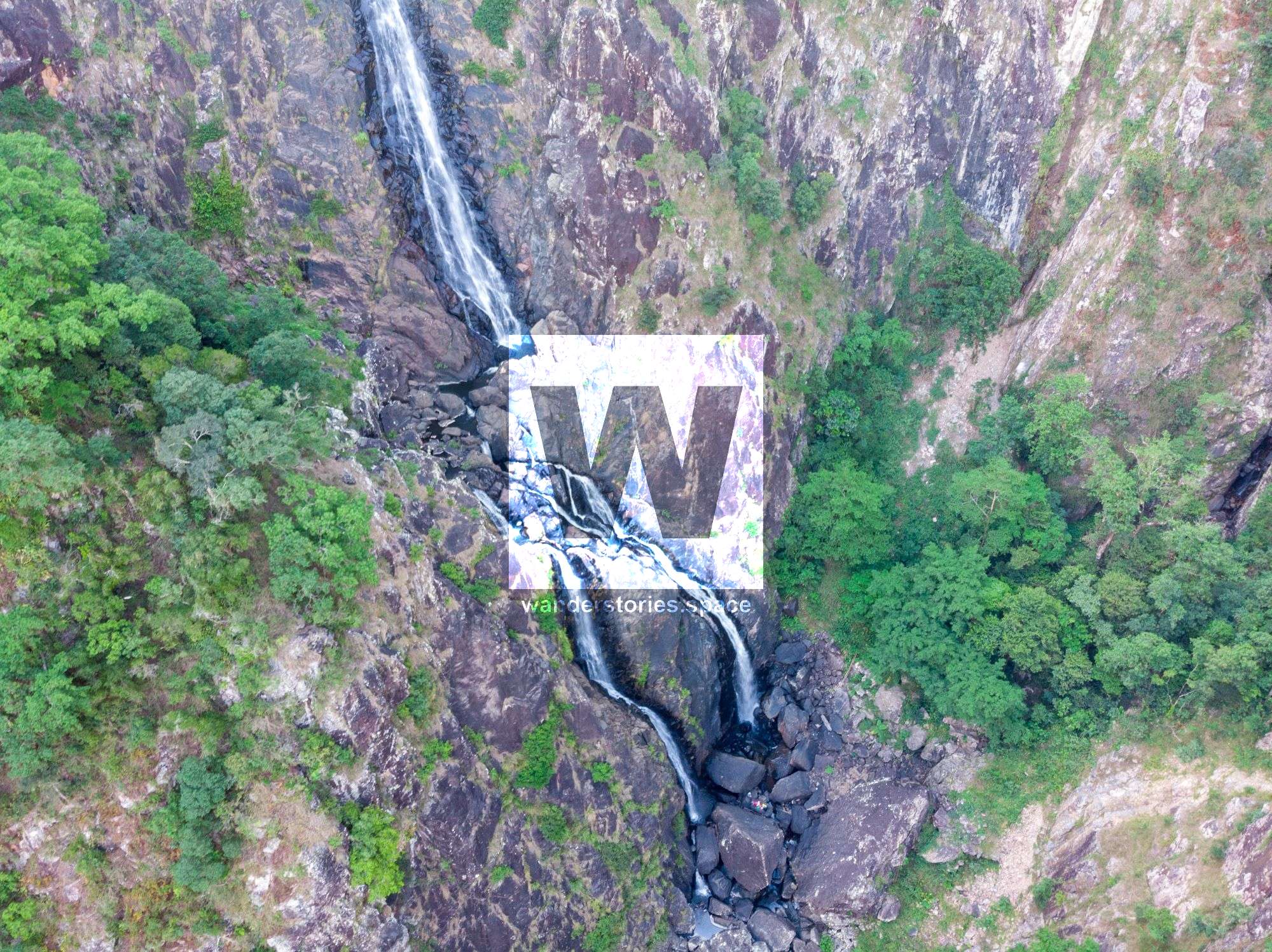
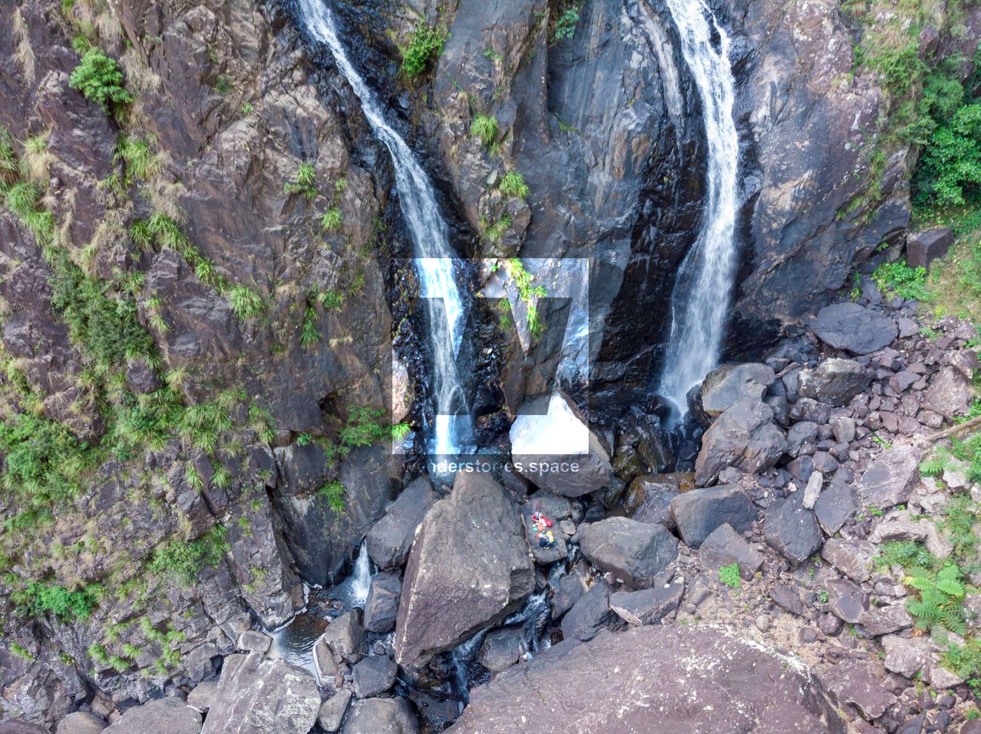
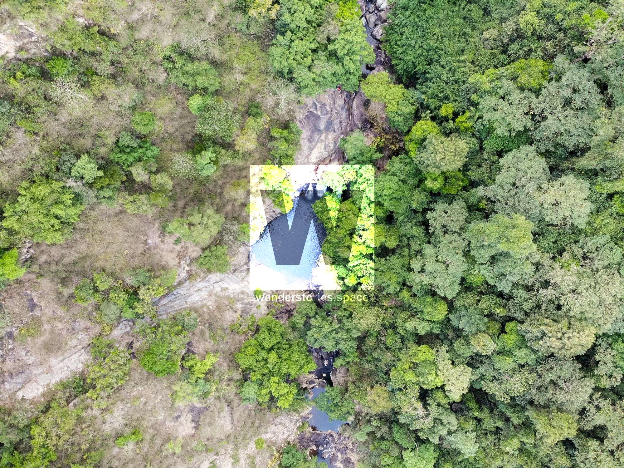
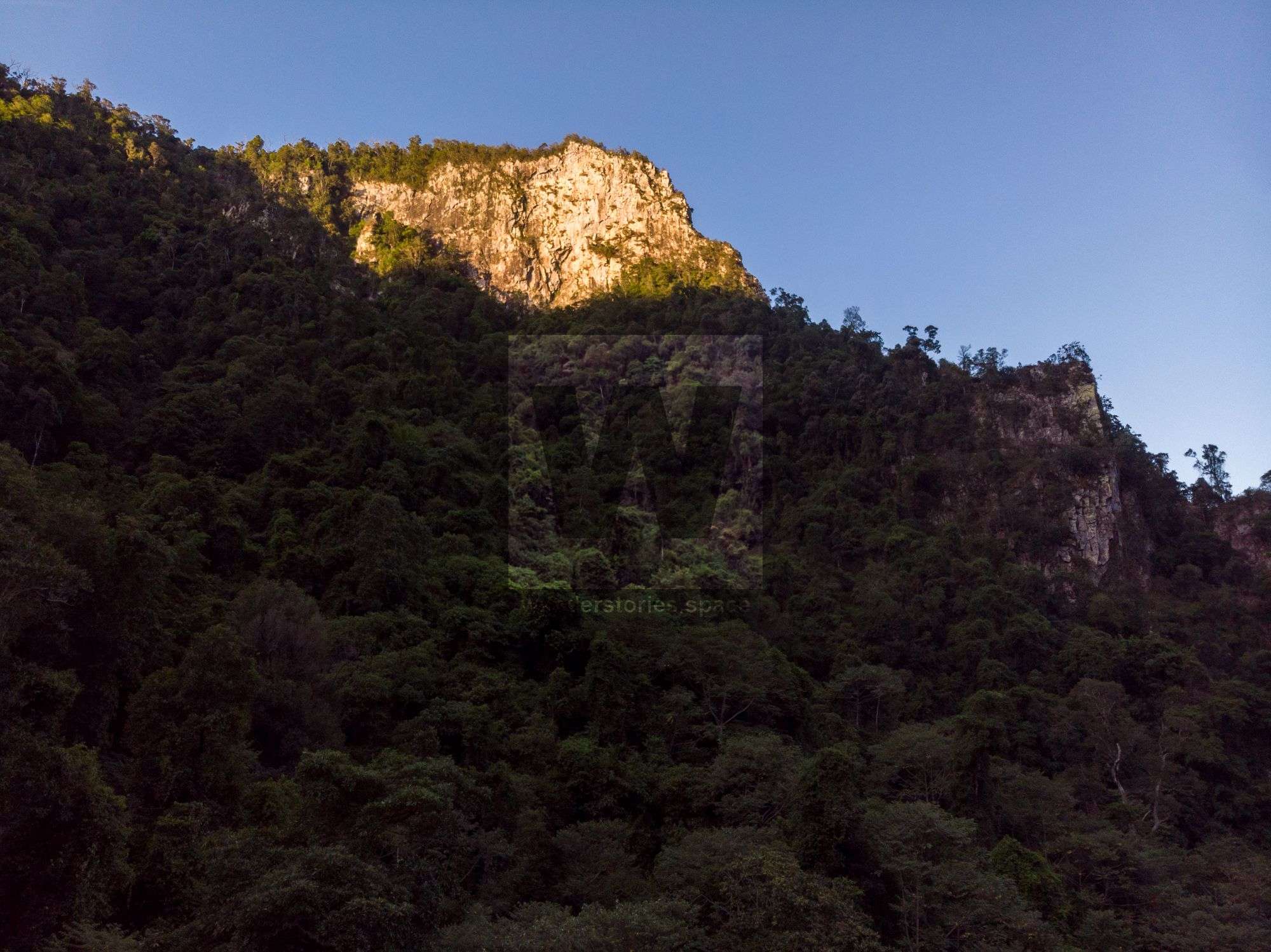
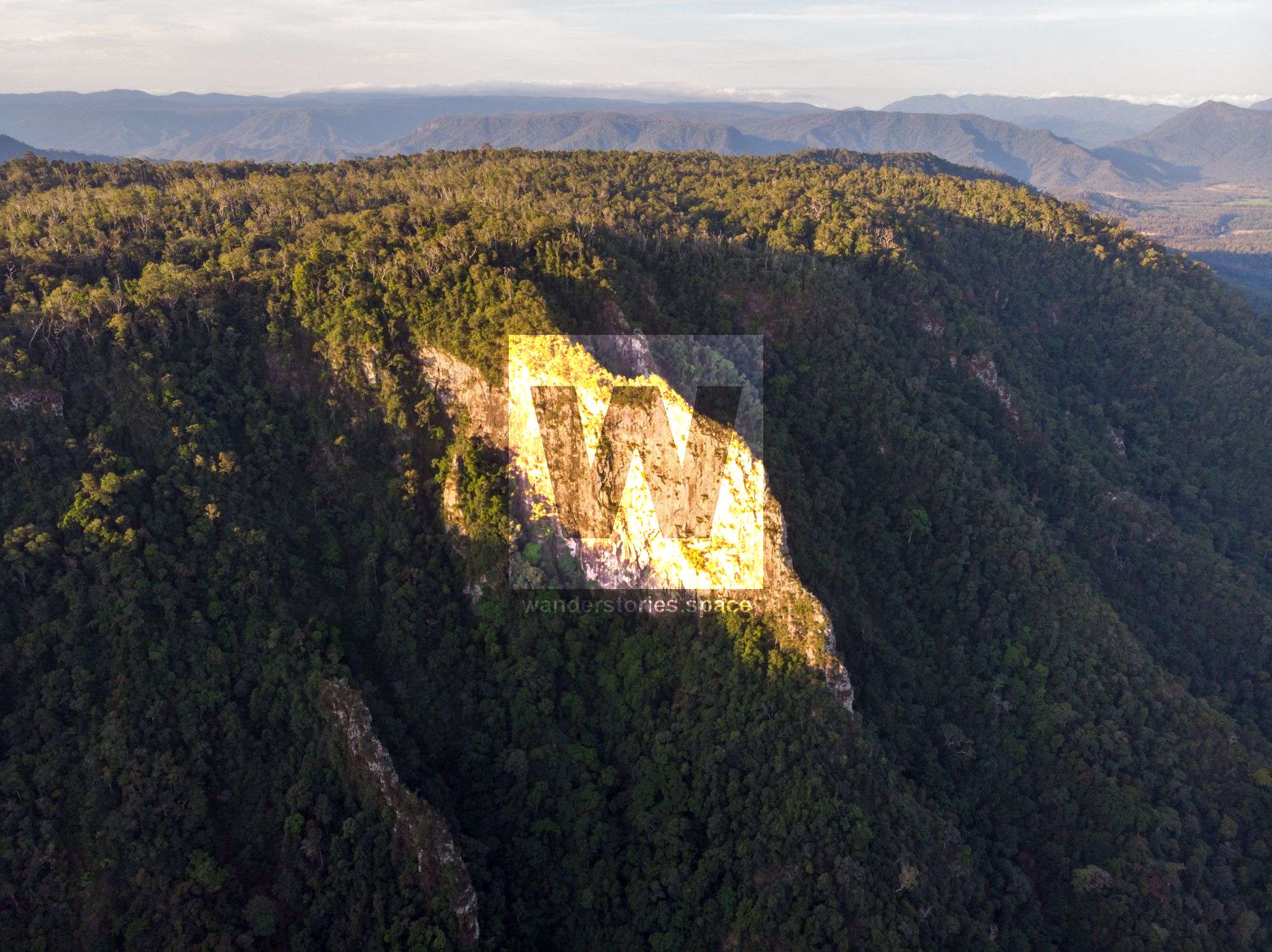
Flagstone Canyon is a fantastic big drop and committing canyon for advanced canyoneers. The canyon features the impressive multi-terances Flagstone Falls with approximately 300 metres of elevation drop in 200 metres.

Flagstone Canyon
Location - Girringun National Park, North Queensland, Australia
Grade - V4/5 A4 IV/V *** (French Grading System)
Approach - 2-3 hours depending on route
Descent - 4-6 hours for 4-6 people
Exit - 5-7 hours depending on route
Total time - Allow at least 2 full days on first trip
Full course - ~30 km one-way trip
Elevation loss - ~560 metres
Flash flooding level - High
First descentists - 2020 Luen Warneke, Madoc Sheehan, and Quinn Sheehan
Flagstone Canyon is a fantastic big drop and committing canyon for advanced canyoneers. The canyon features the impressive, multi-terraced Flagstone Falls with approximately 300 metres of elevation drop in 200 metres.
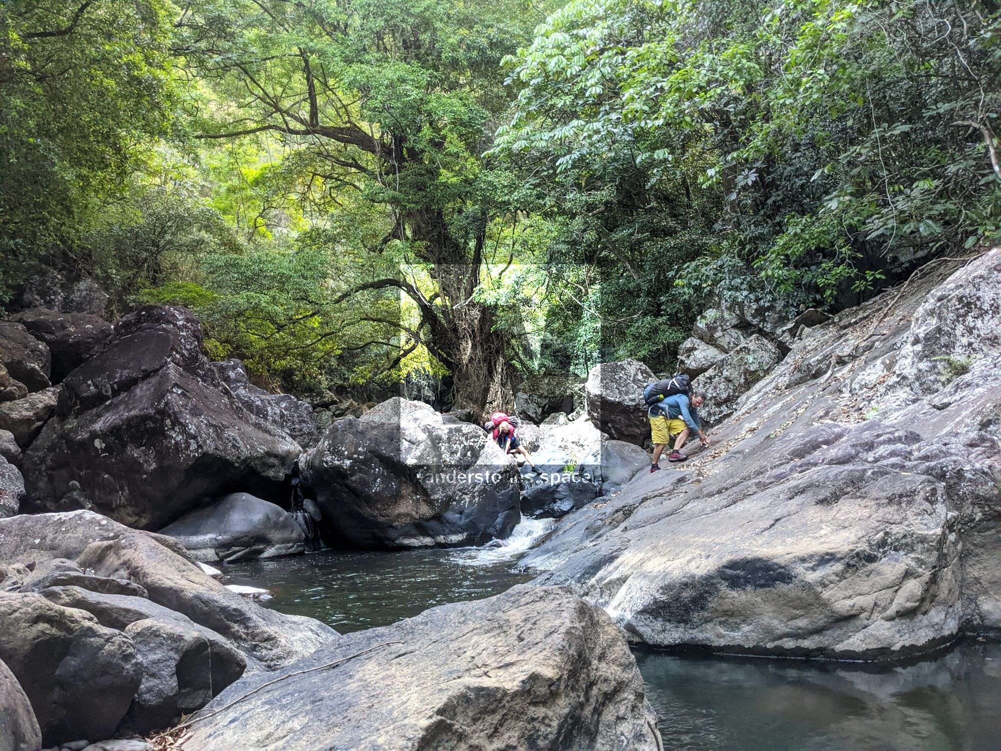
Approach
See the 'How to get to Flagstone Falls' article.
Interactive Map
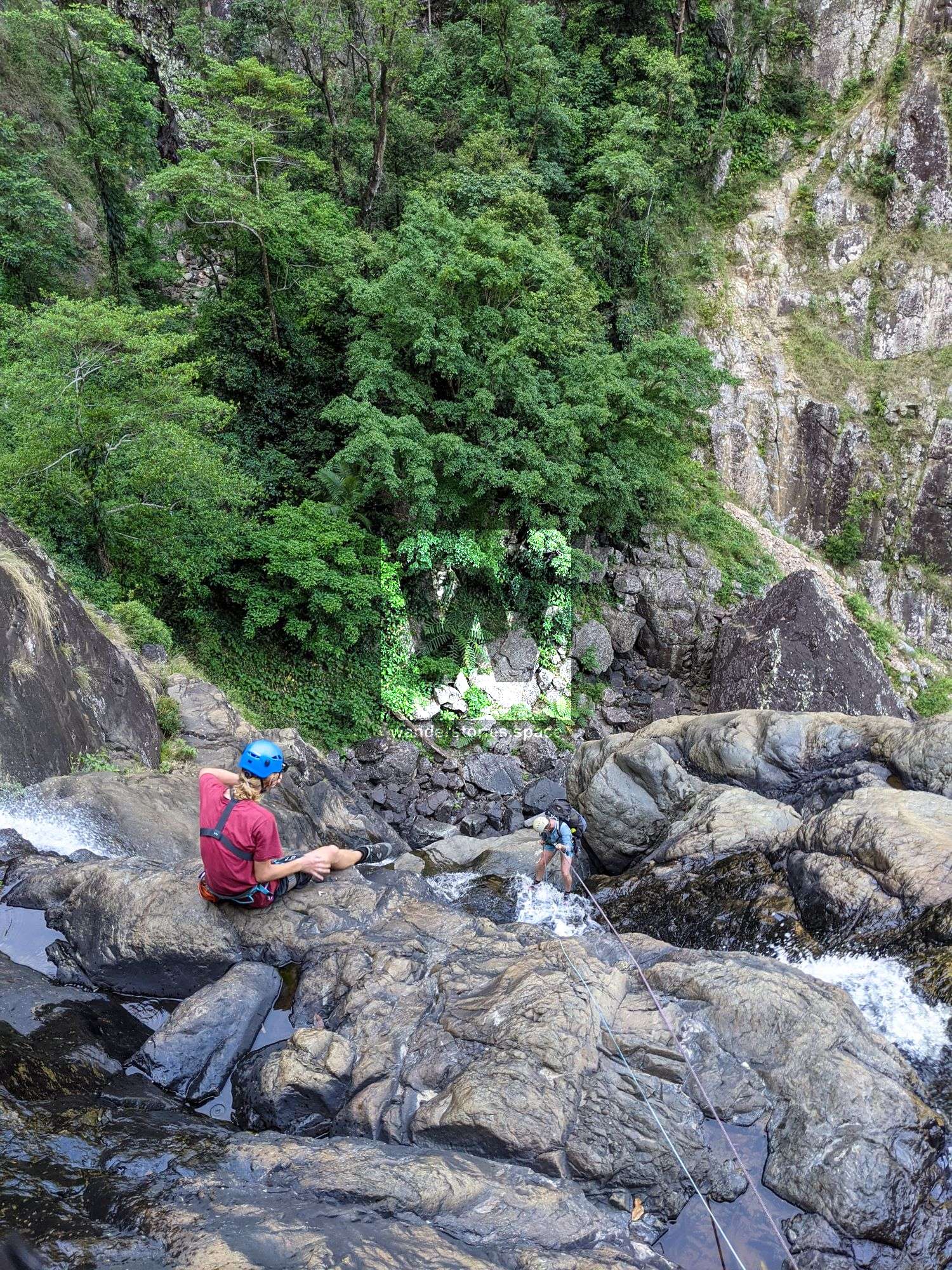
Rappels
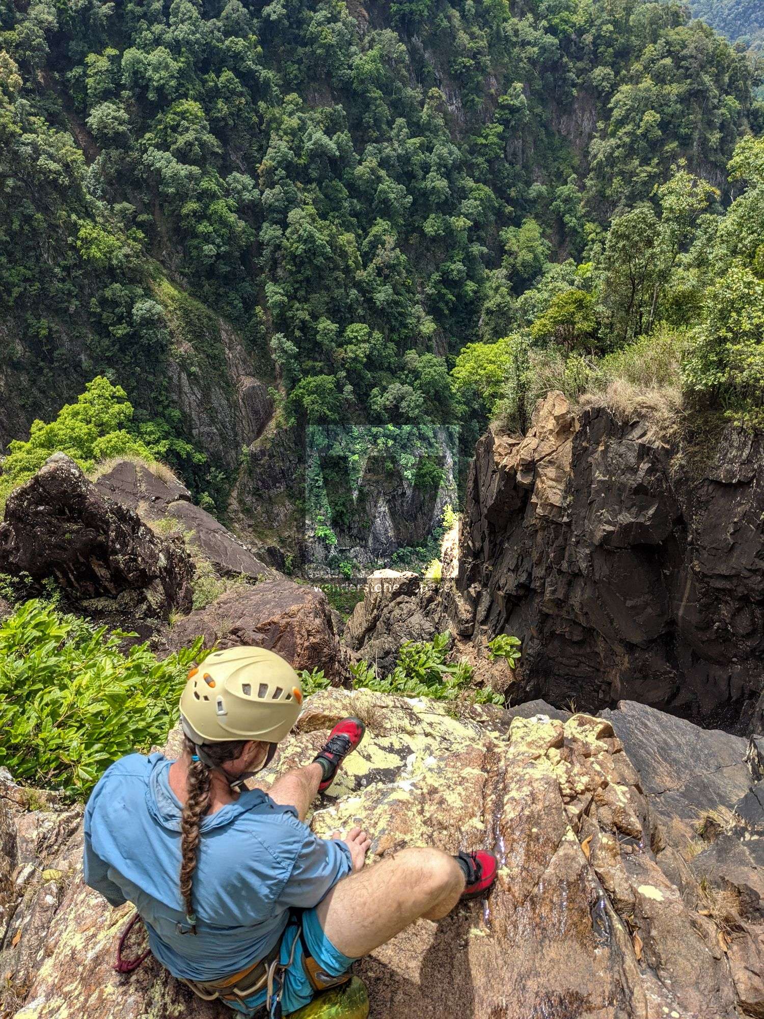
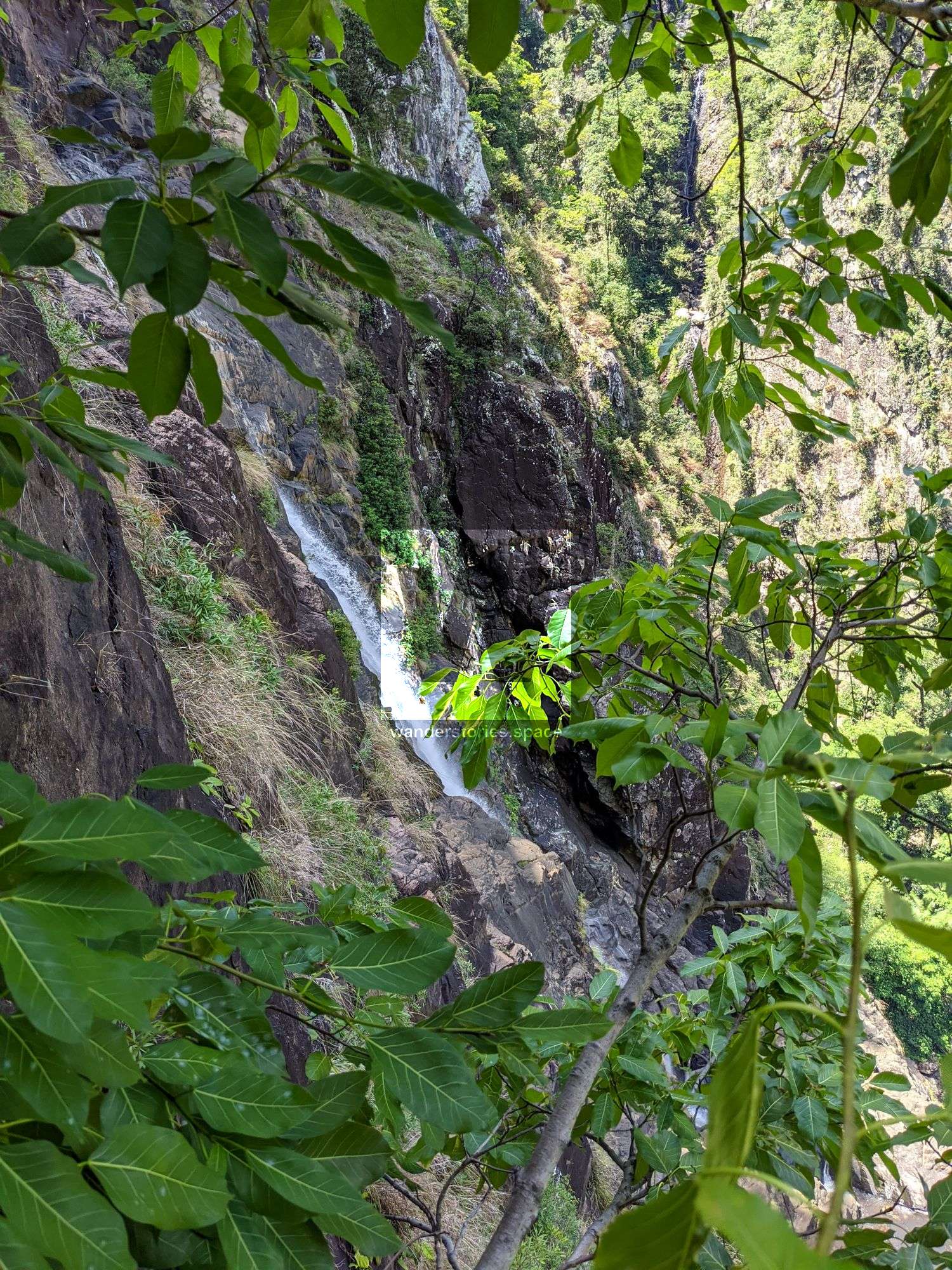
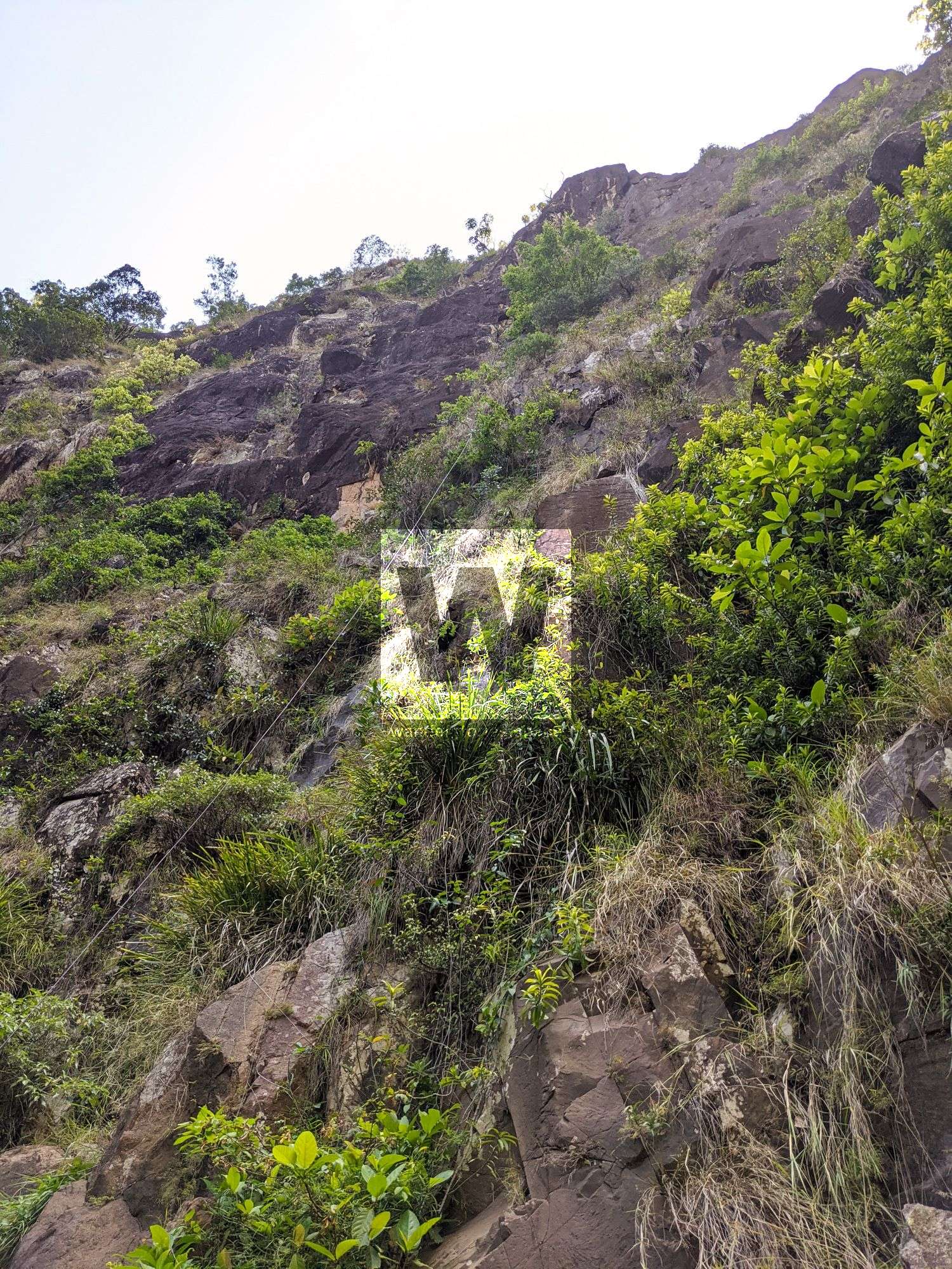
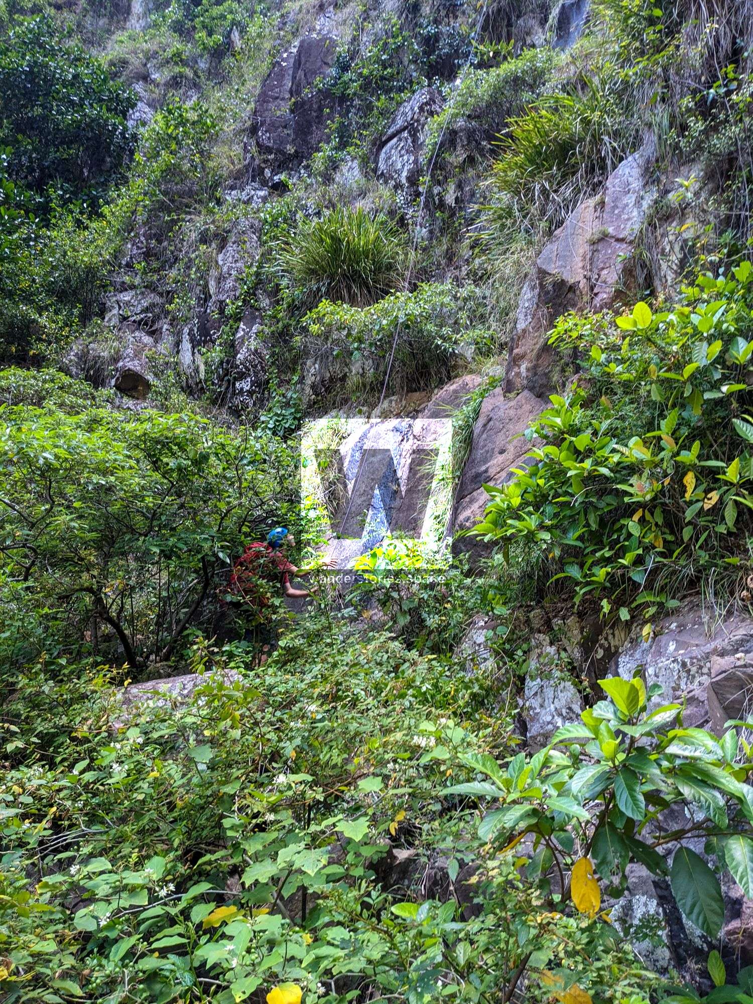
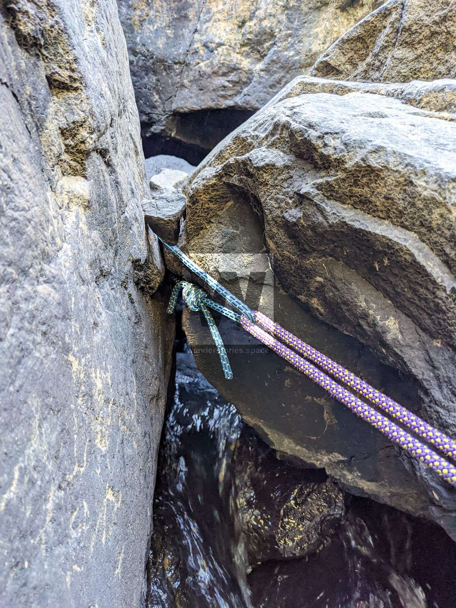
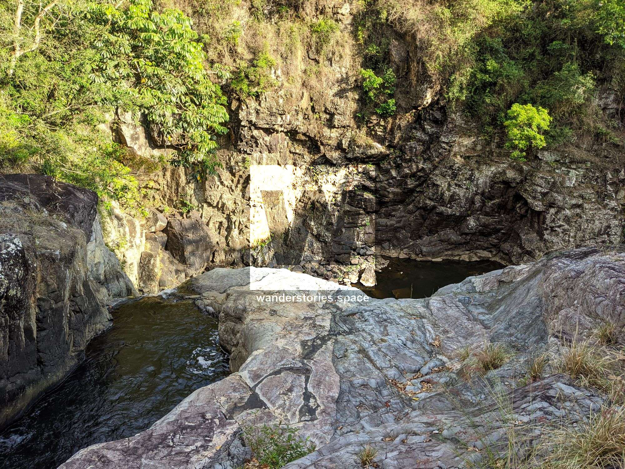
The canyon has some large drops and some advanced rigging (knot blocks) required. The rappels are broken up into multi-pitches. It's a good idea to take bolts and a hand drill with you as some of the natural anchors are less than perfect.
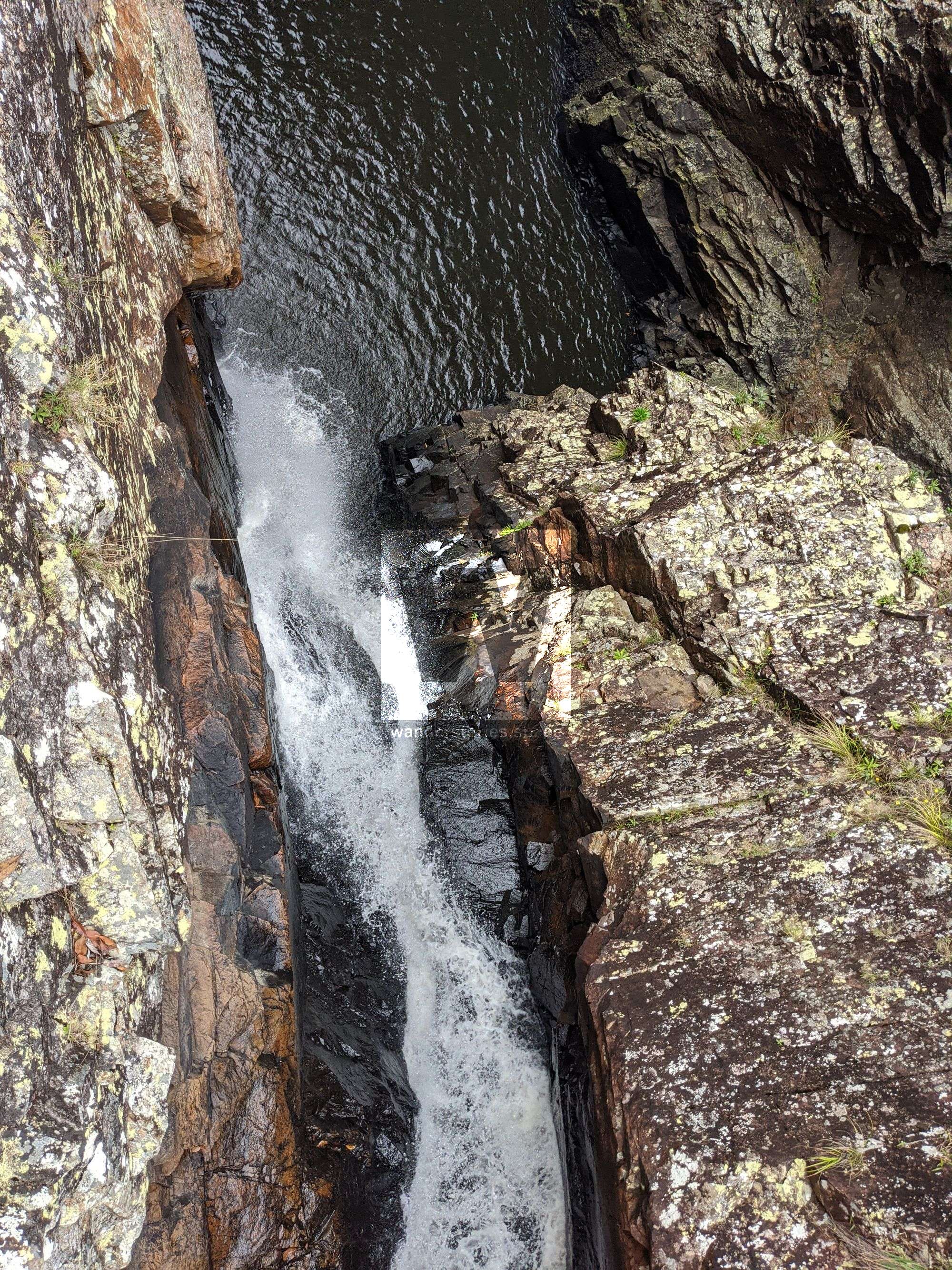
R1-20m NA-TL
~15m into pool from tree - can stop on the lower ledge and then jump in.
It may be possible to rappel in waterfall from chockstone.
High flow hazard: watch out for construction chockstone and potential sieve just below R1 where the slot narrows.
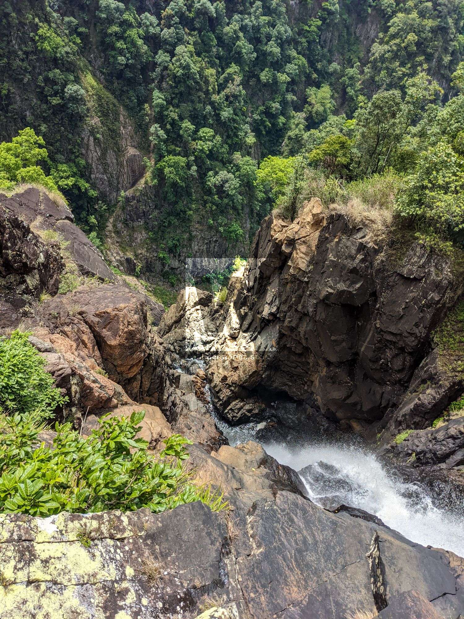
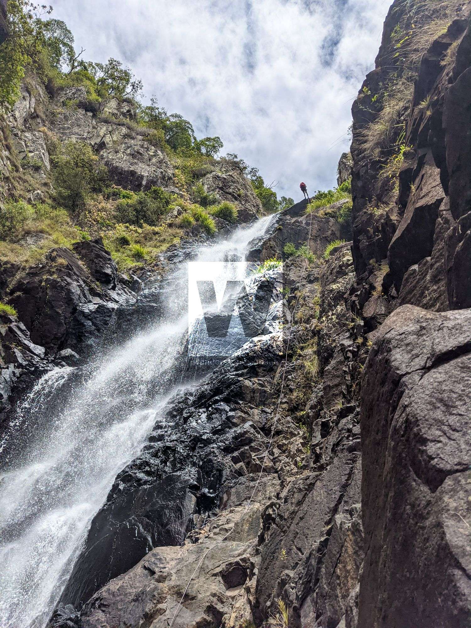
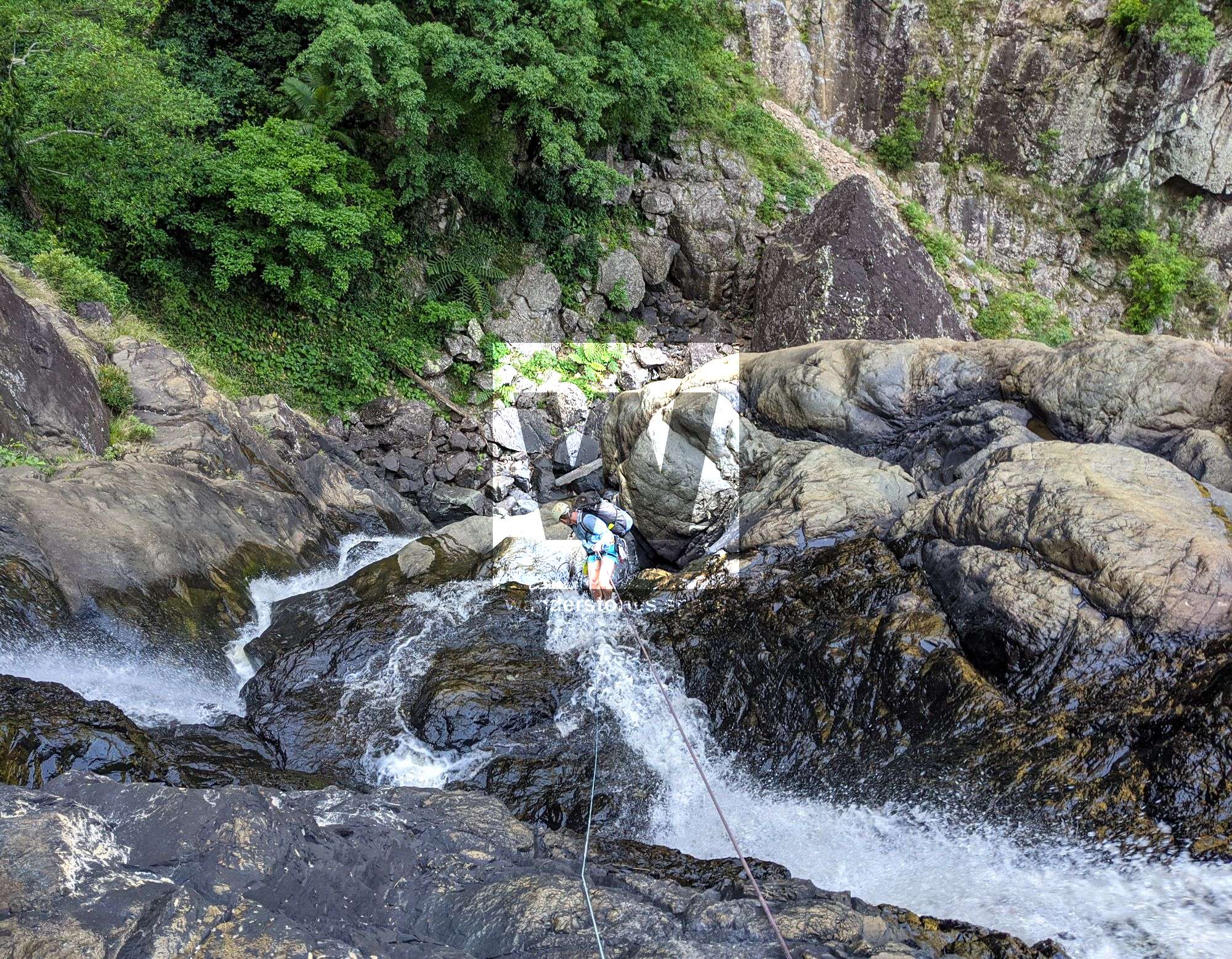
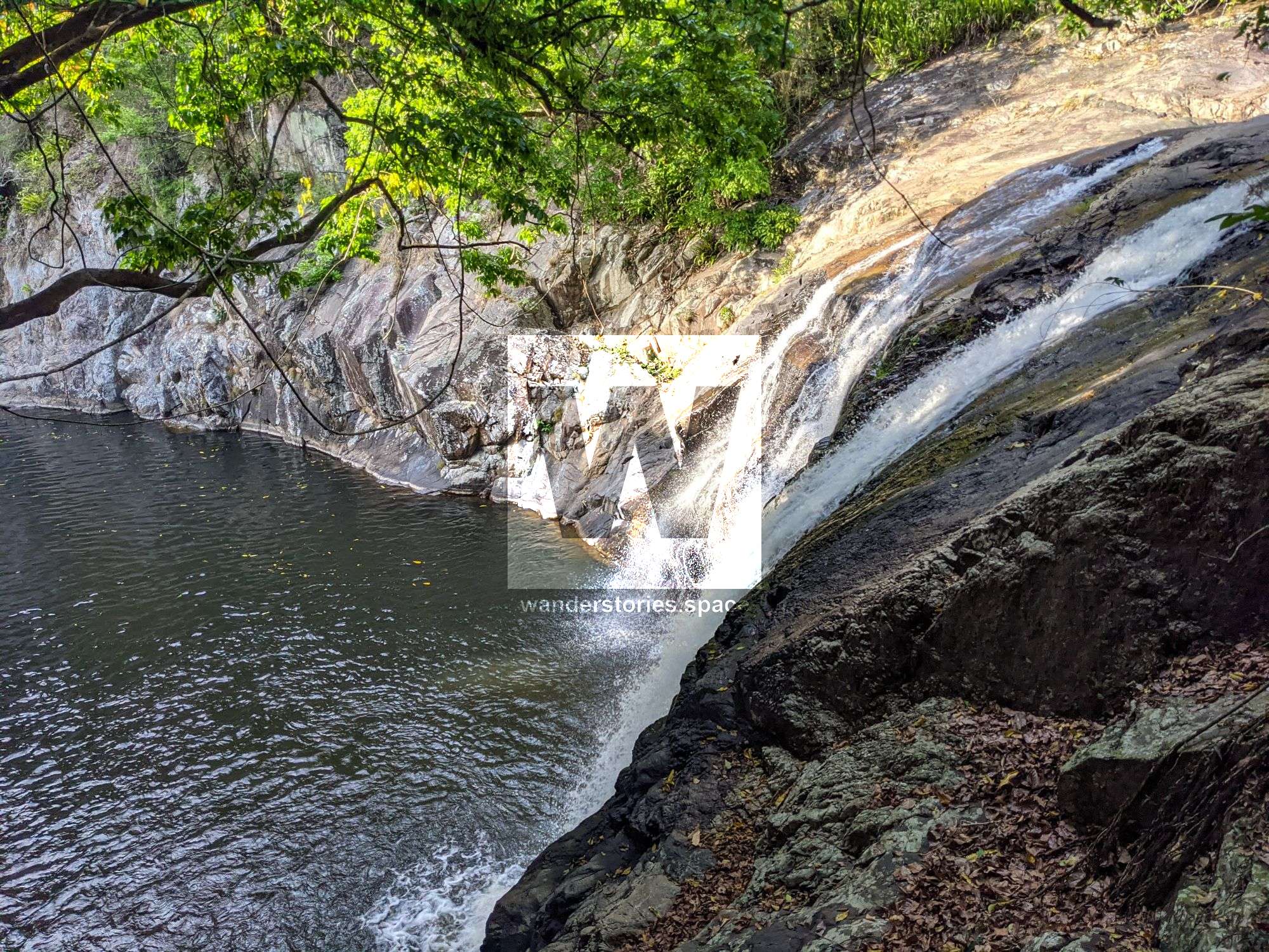
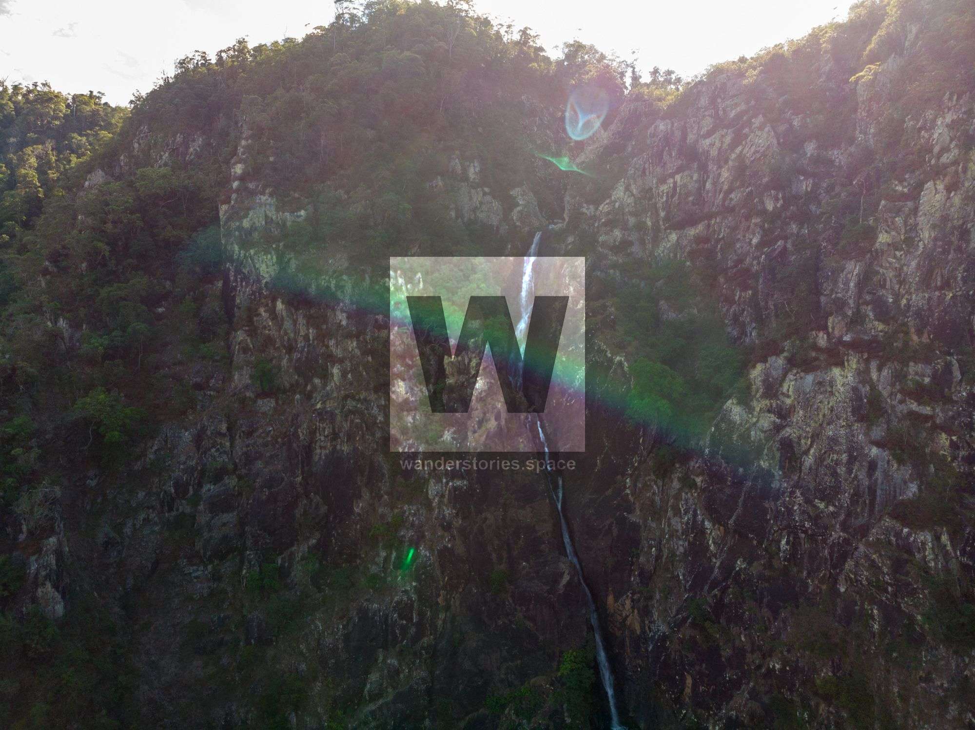
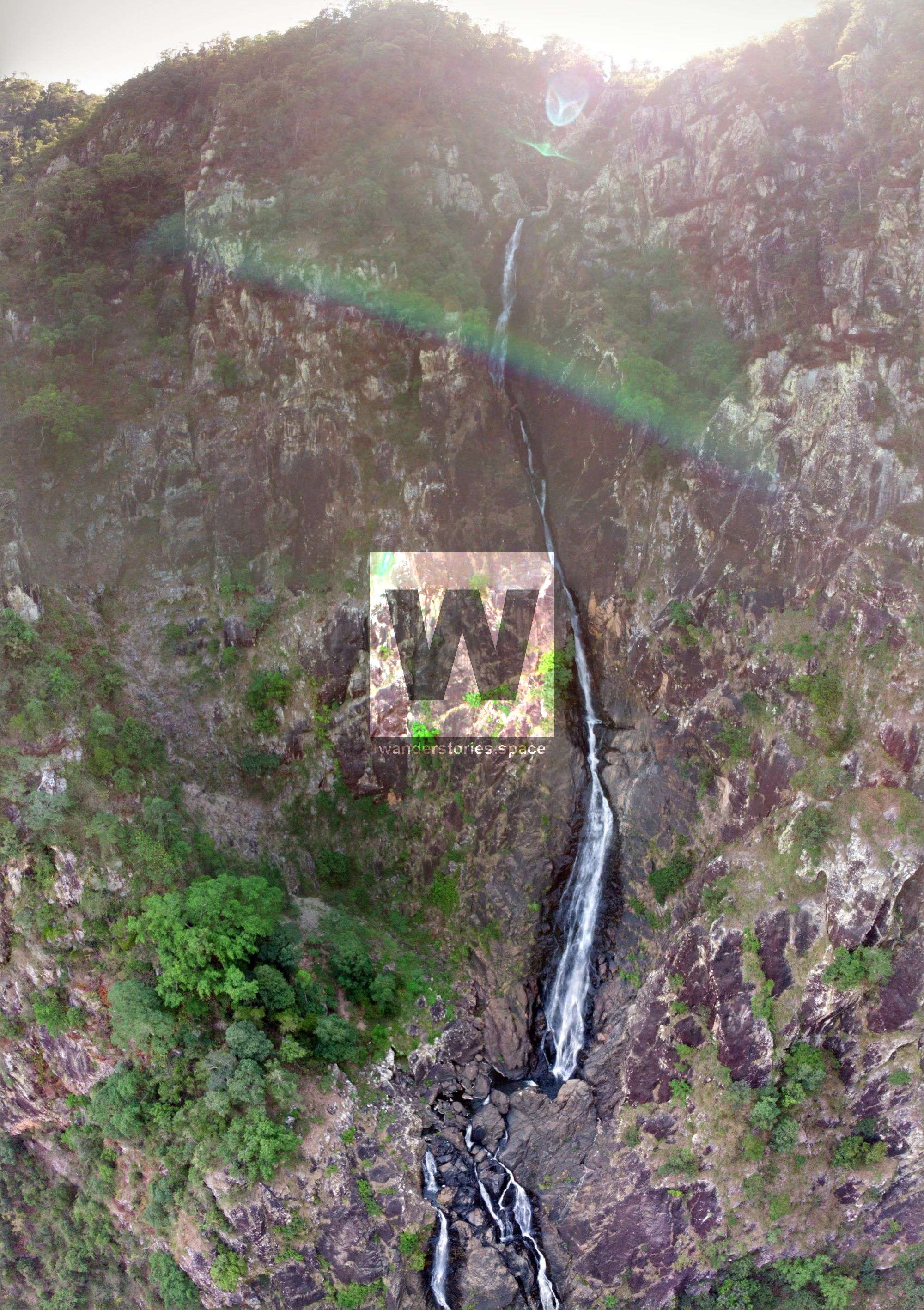
R2-70m NA-TL Flagstone Falls
Last canyon exit: bail out left up gully. Fresh rock falls at the bottom - a far bit of loose broken rock.
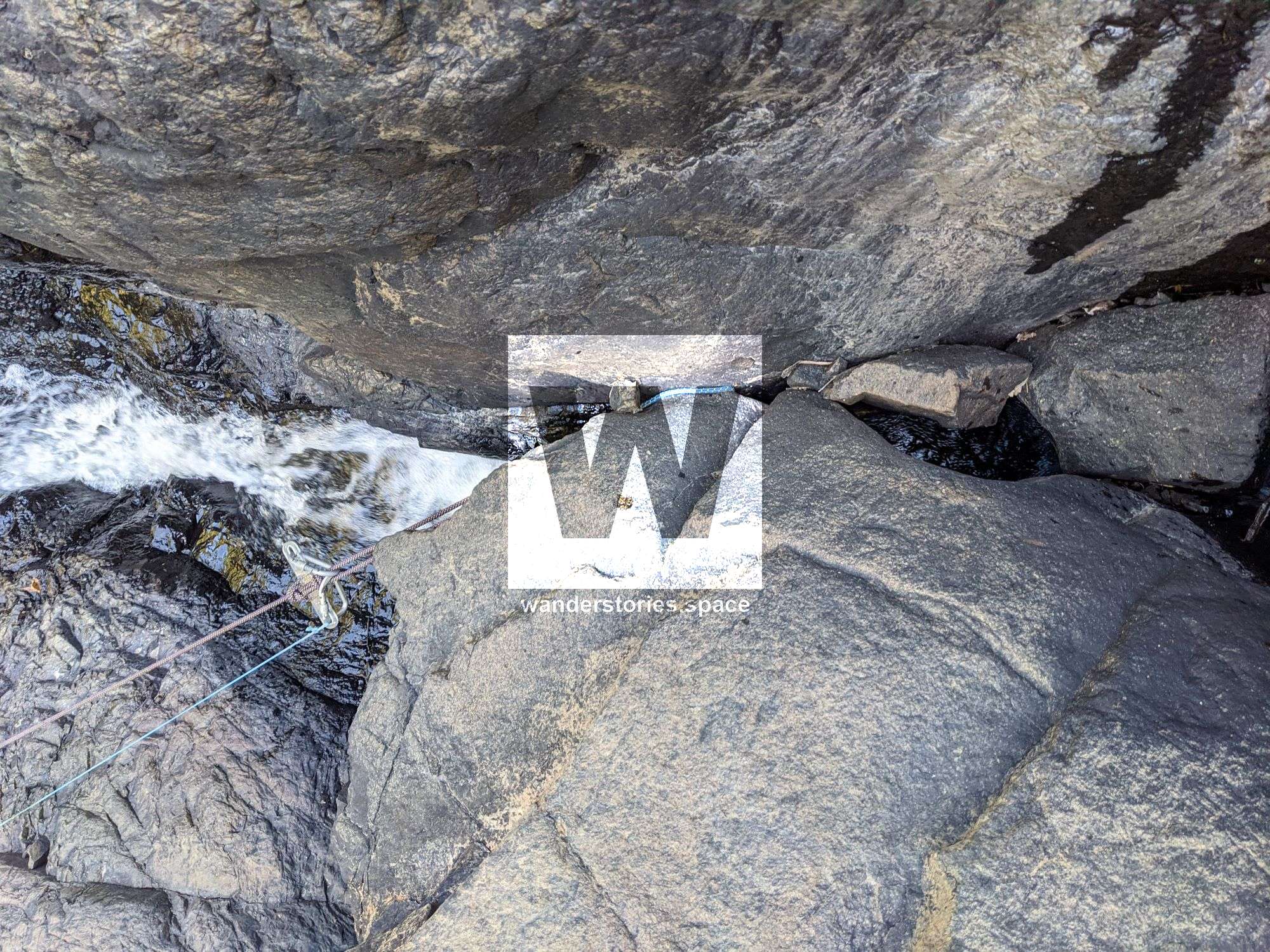
R3-10m NA-TR
If you have enough rope to get to the far ledge, skip this rap. We skipped it by extending the rappel line before pulling the smooth operator. Probably need a 90m rope to skip the rap safely (recommended to skip).
Crack construction TR, or parallel crack TL. May need a bolt.
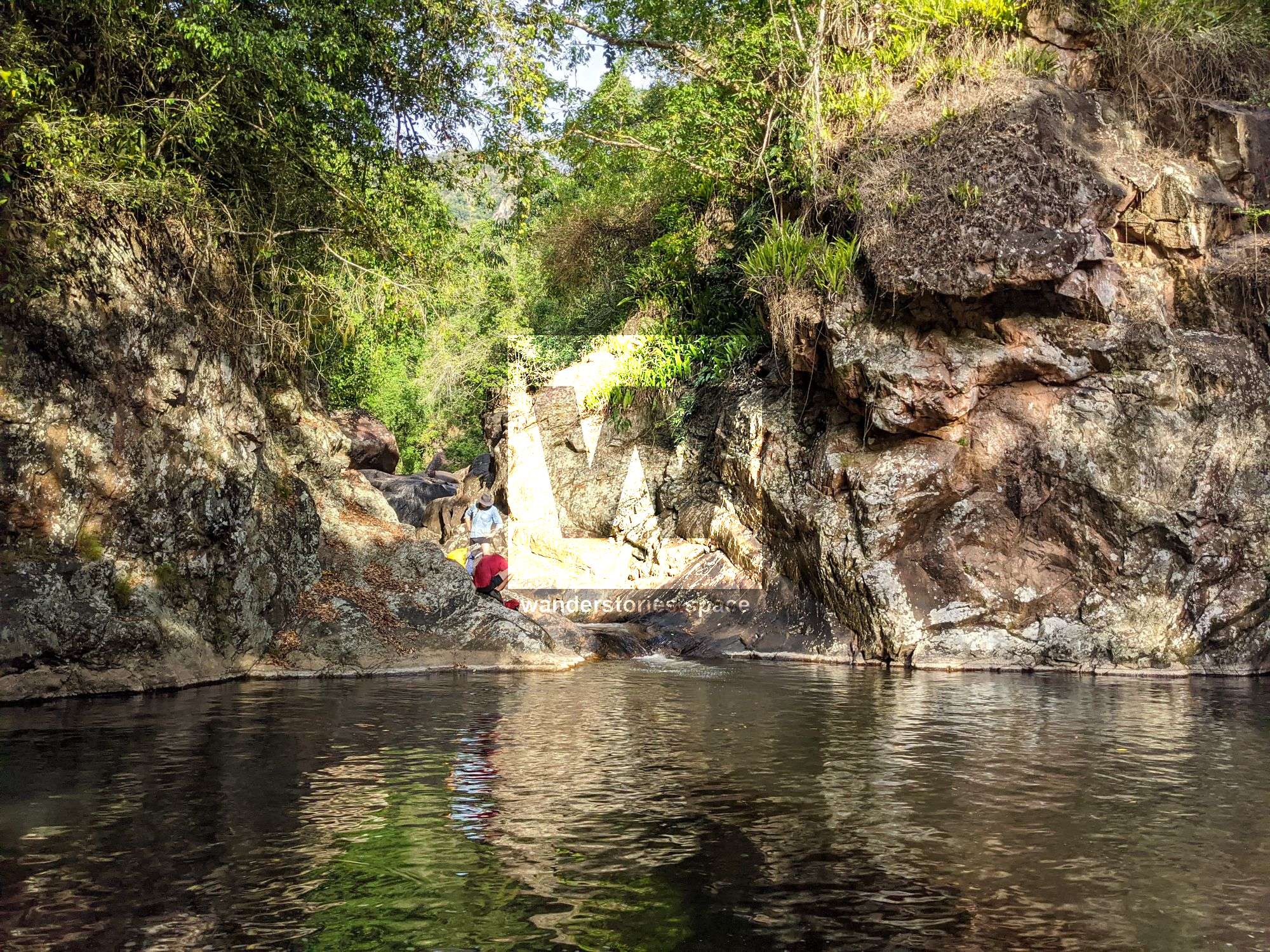
Traverse down and out along ledge on true right. Next anchor near grassy clump.
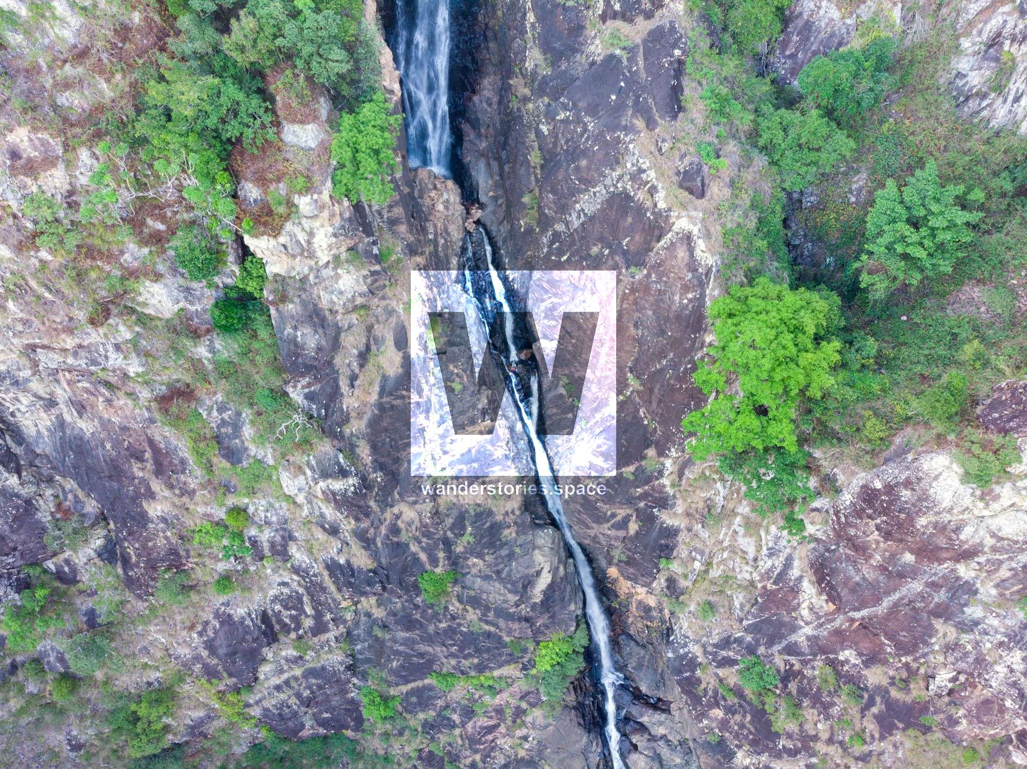
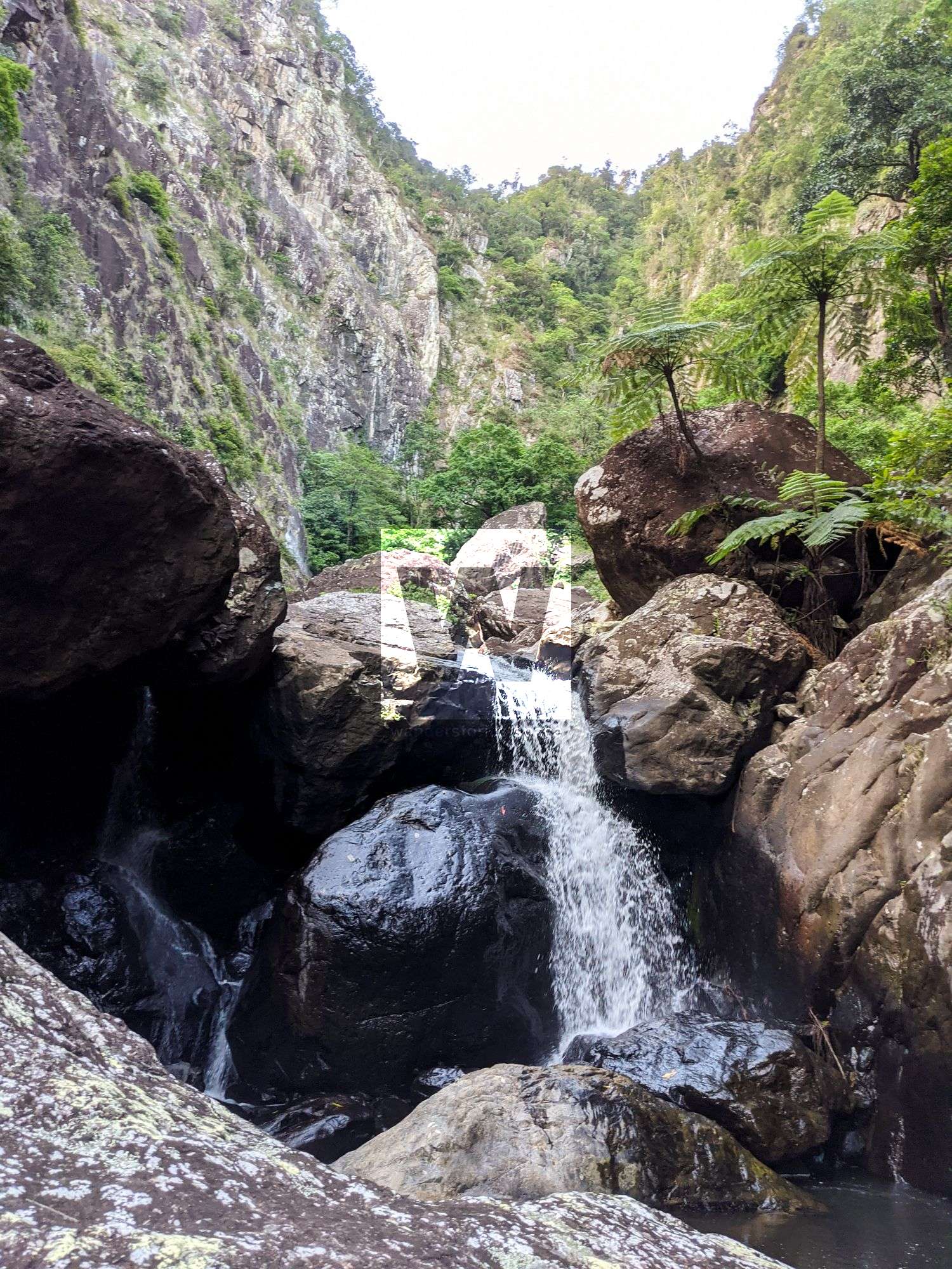
R4-65m NA-TR
Chock stone thread through. Out of Main Falls and down cliff - Approximately 65m to tree.
R5-40m NA-TR
Tree multi-pitch 40m to rocky ground
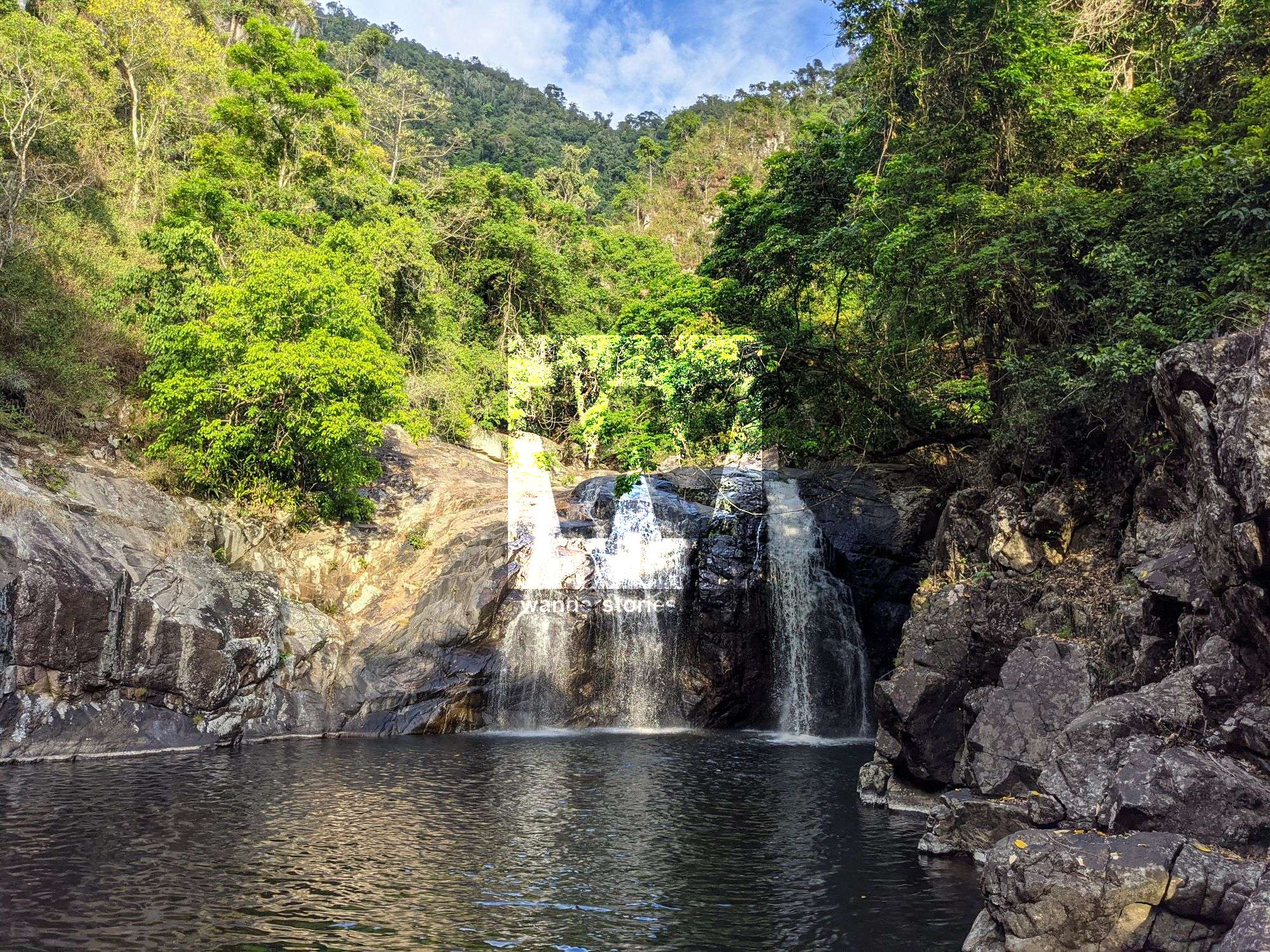
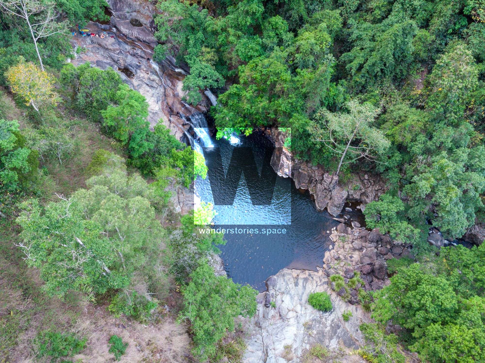
R6-70m NA-C
Last falls of the main Flagstone Falls.
Wisp Falls flows in here.
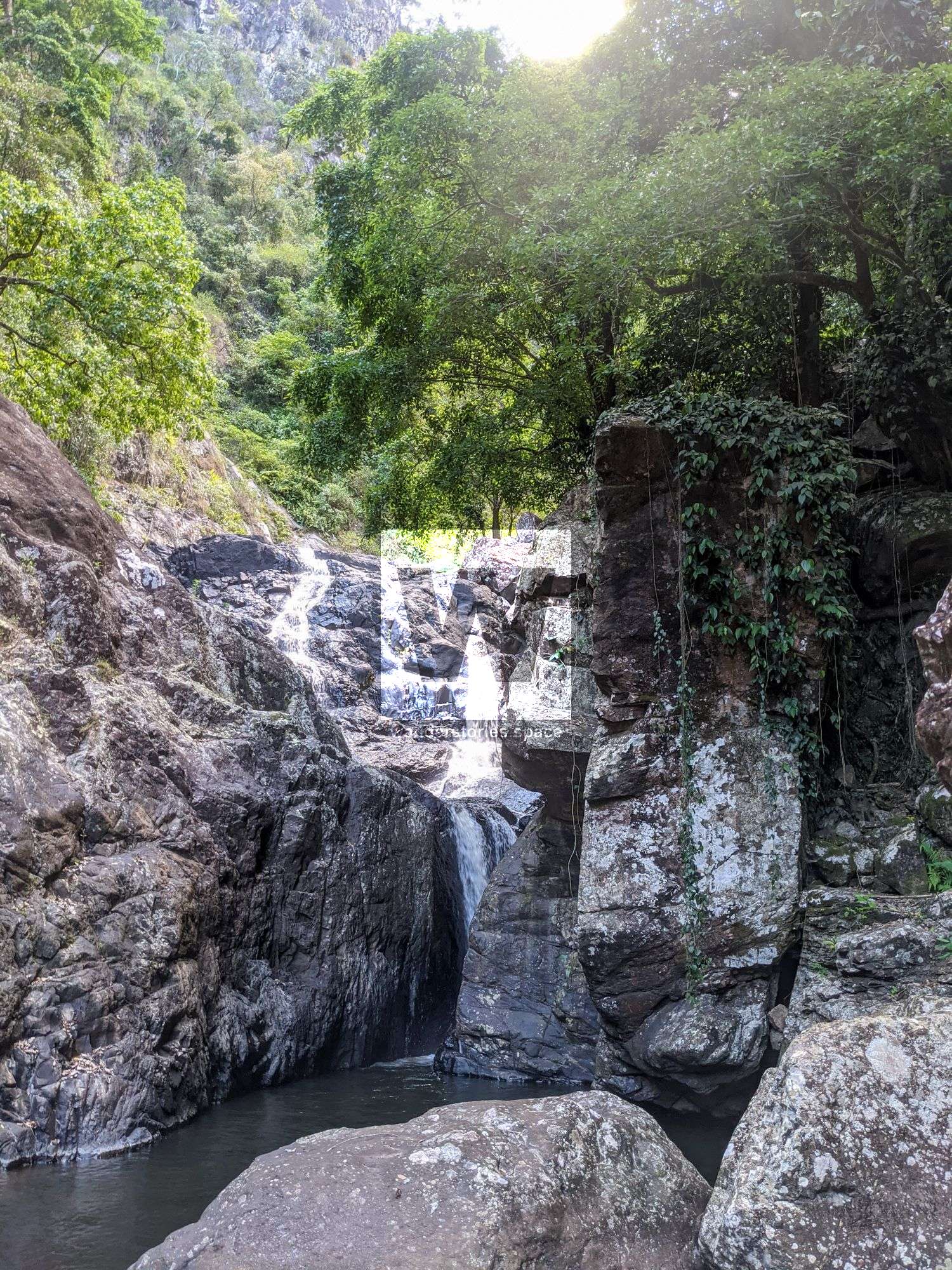
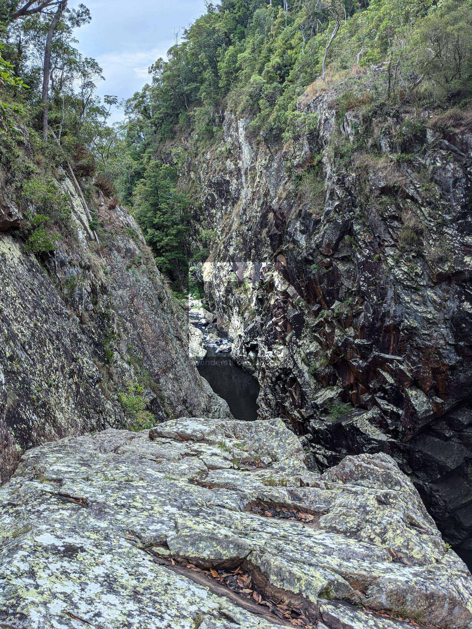
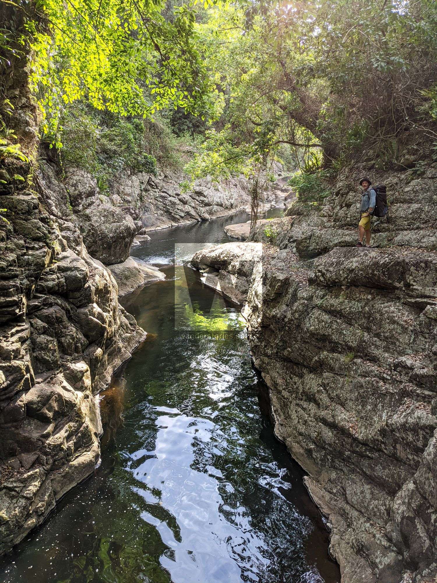
R7-20m NA-C Optional Gorge
Scramble around left
White Adder Creek (signposted Black Adder Creek) flows in here.
R8-15m NA-TL Optional Three Falls
15m to a swim
or scramble around left on scree slopes.
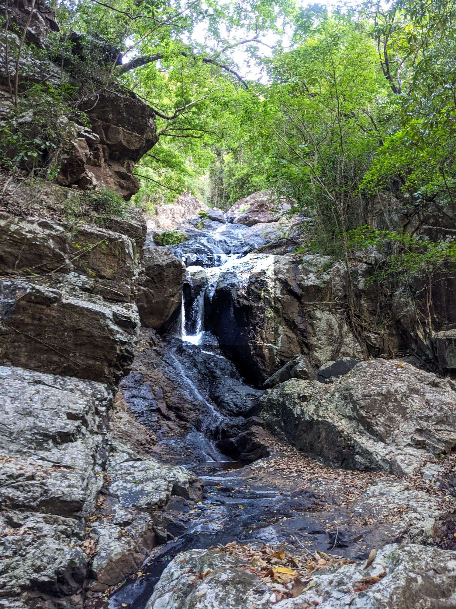
R9-20m NA-C The Drop Off
Scramble around right
R10-15m NA-C Optional Gorge
Scramble around right
Exit
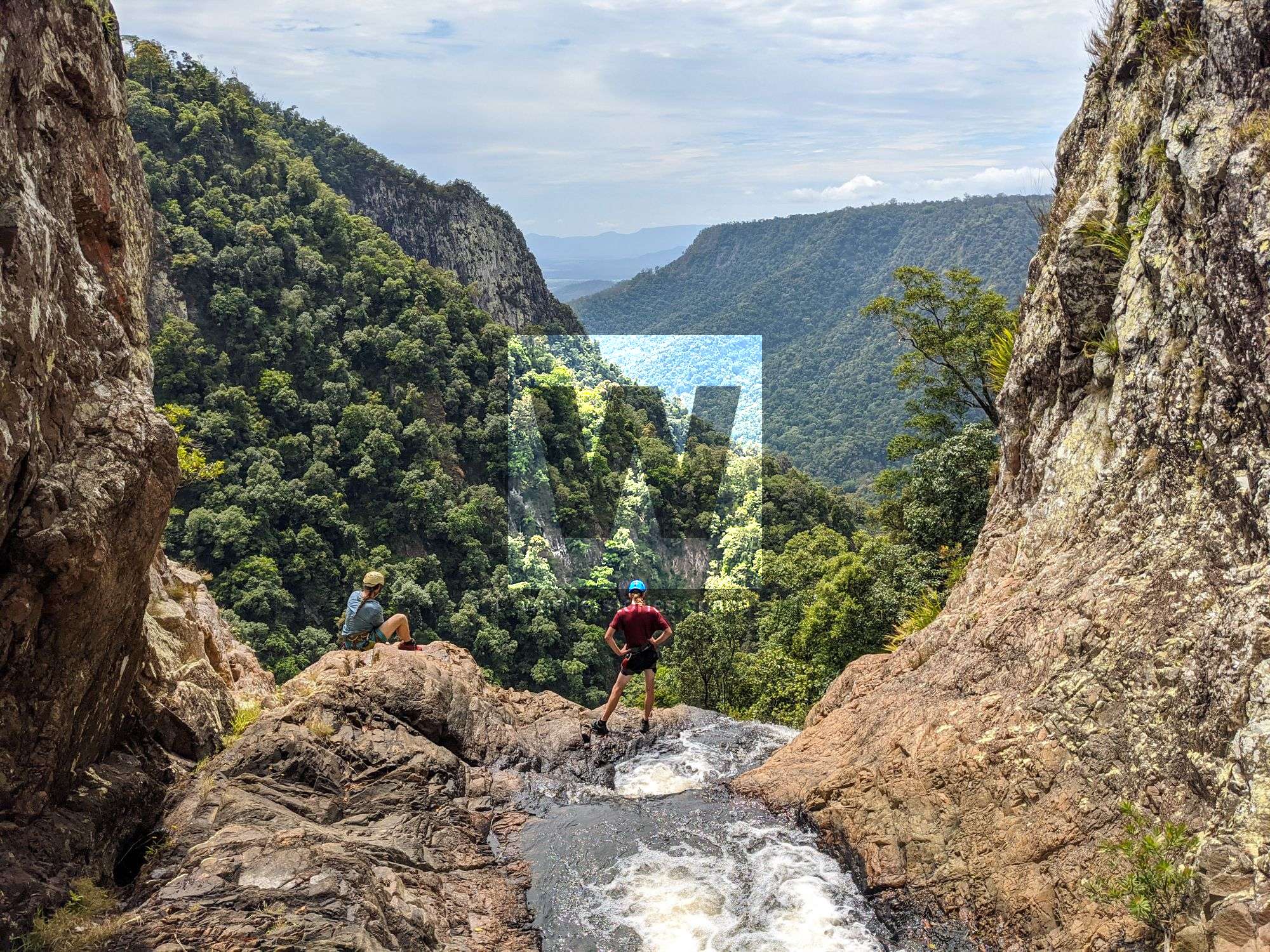
Swim, scramble, and rock hop out to Garrawalt Creek. From here, you may have enough time to go upstream 900m to the Wall of Waterfalls (Lower Garrawalt Falls).
Watch for crocs in the lower creek when exiting.
Notes
Your team should have good navigation skills and appropriate experience.
Find your local canyoners and ask for beta on the FNQ Canyoning Facebook group.
WHAT YOU WILL NEED
- Experience in abseiling (there are some technical challenges)
- Enough rope for the longest rappel
- Rappel devices, prusiks, and webbing
- Rope protectors
- Grippy shoes on smooth, wet granite rocks
- Helmet
- Backpack
- Food and snacks for the trip
- About one litre of water to hike to the top and a way to sterilise your water from the creek
Anchoring notes
There are various natural anchors throughout the canyon, however, it is not unusual to come across damaged trees, especially after large flooding events. Please use sound judgement when considering previously installed anchors, like tape slings, ropes, and other textiles. There are no bolts in this canyon.
Surfaces
Along the route there are various sections of wet, slimy, and dry rock, as with all canyon environments. Please be mindful of your traction and regularly test your grip throughout the route as you cannot rely on the colour or texture of the rock to determine its safety against slippage. Take caution when near cliff edges.
Experience
No responsibility or liability is taken for any harm, death or loss of property resulting from the use of this article. You must carry anchor building materials, be experienced and use your own judgement when canyoning. Flooding events can strip anchors and change the canyons layout and conditions. Improper and insufficient experience will result in serious injuries or in many cases death. Always respect all signs you encounter and take everything in you brought with you.
Please read the Beginners' tips for canyoning in North Queensland article.
See our general disclaimer that includes canyoning.
Canyoning Topo
This canyoning topo is for illustration-purposes only.
TO BE UPLOADED - ASK
Legend
X / XX - Single and twin bolt anchor.
NA - Natural anchor such as a tree or rock.
TL / TR / C - True left, true right and centre when looking downstream.
R1-8m / R2-6m - First rappel and its height in metres, second rappel and height.
Optional - These rappels can be avoided by exiting prior or walking around.
Please note that an activity permit may be required in national parks.
If this information is outdated or you would like to make a correction, please contact us.
This article, and all other articles, are for entertainment purposes only and are not to be used as a guide. Please see our Disclaimer for more information.