Raspberry Creek Canyoning
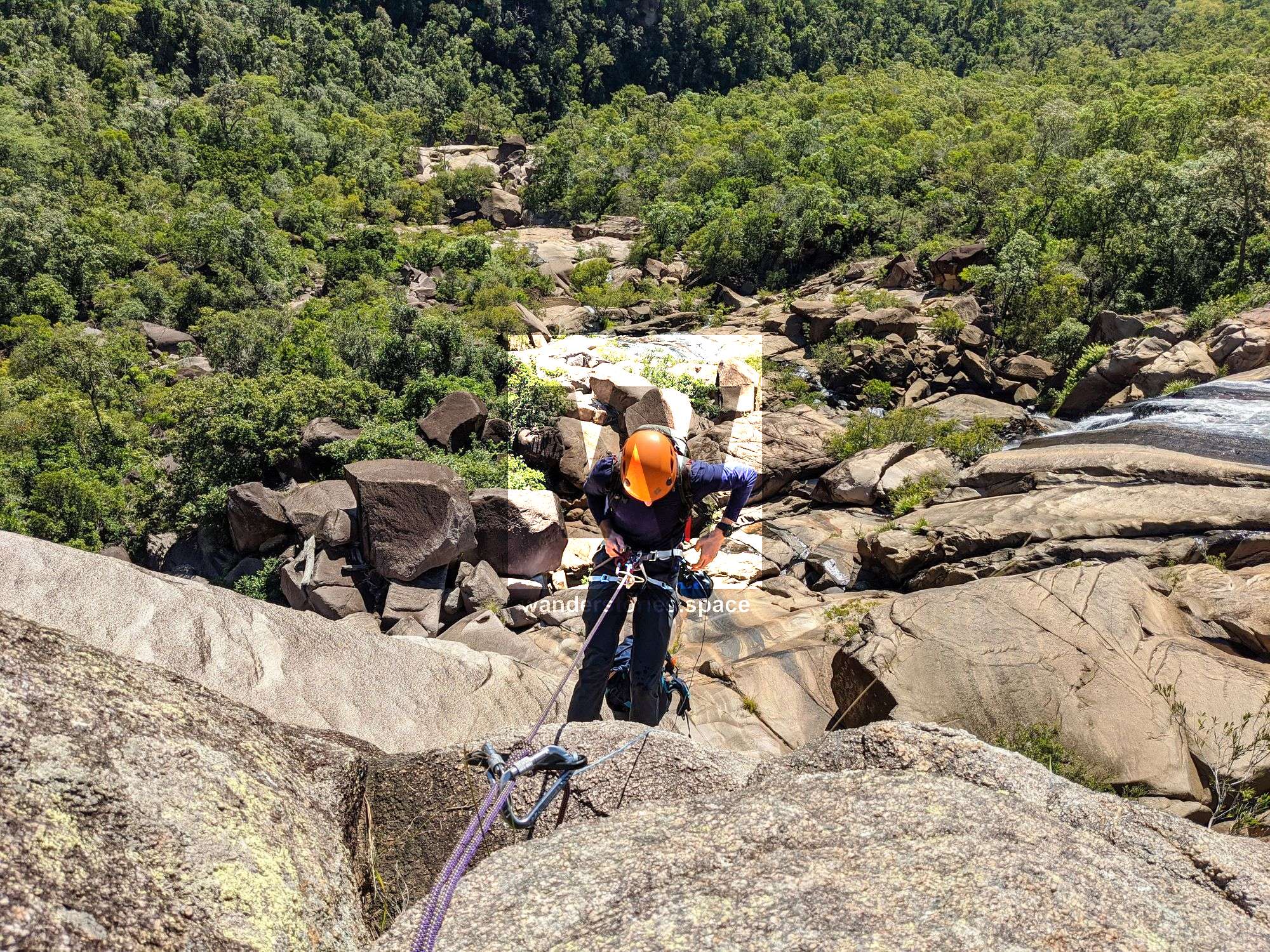
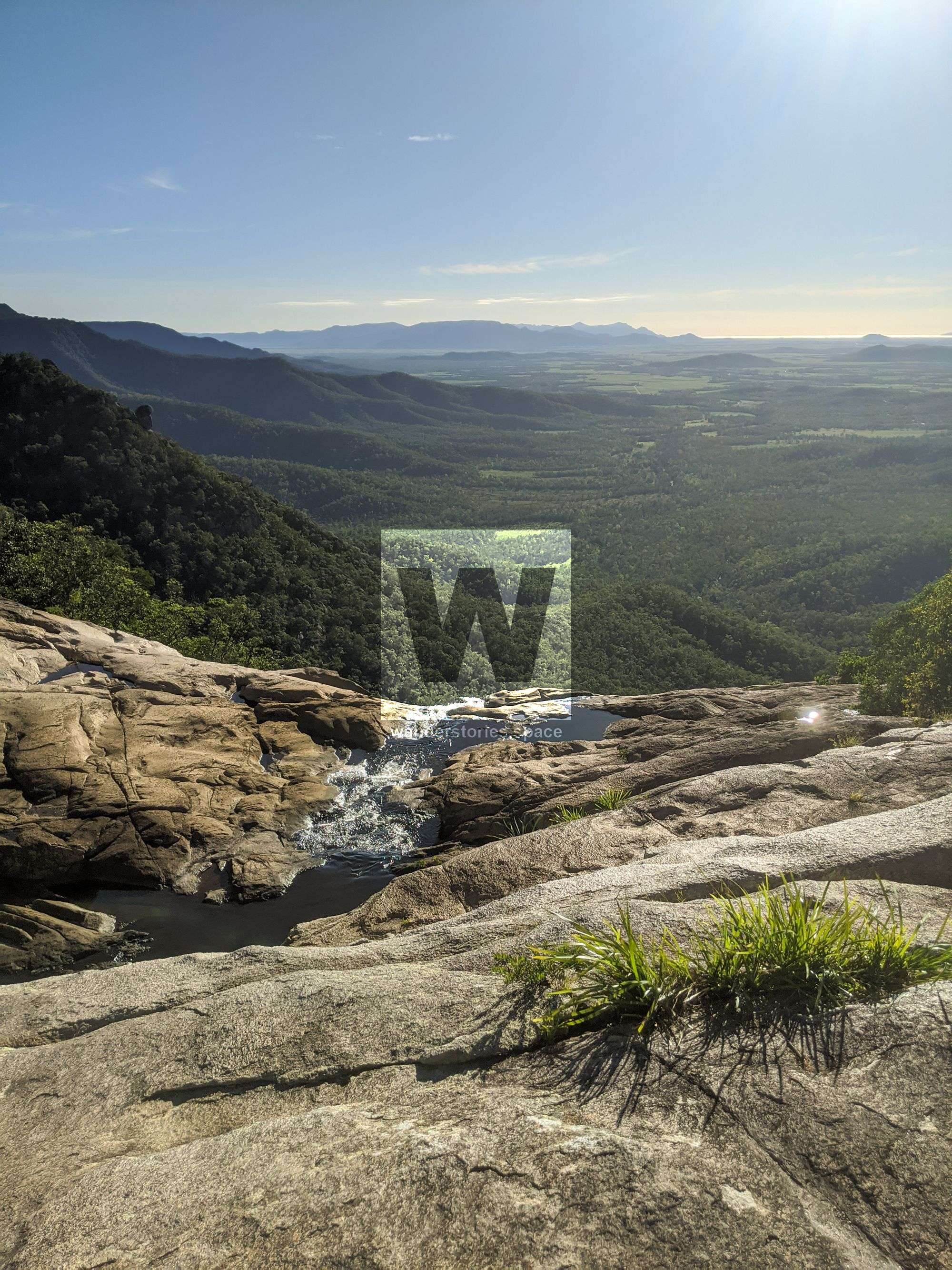
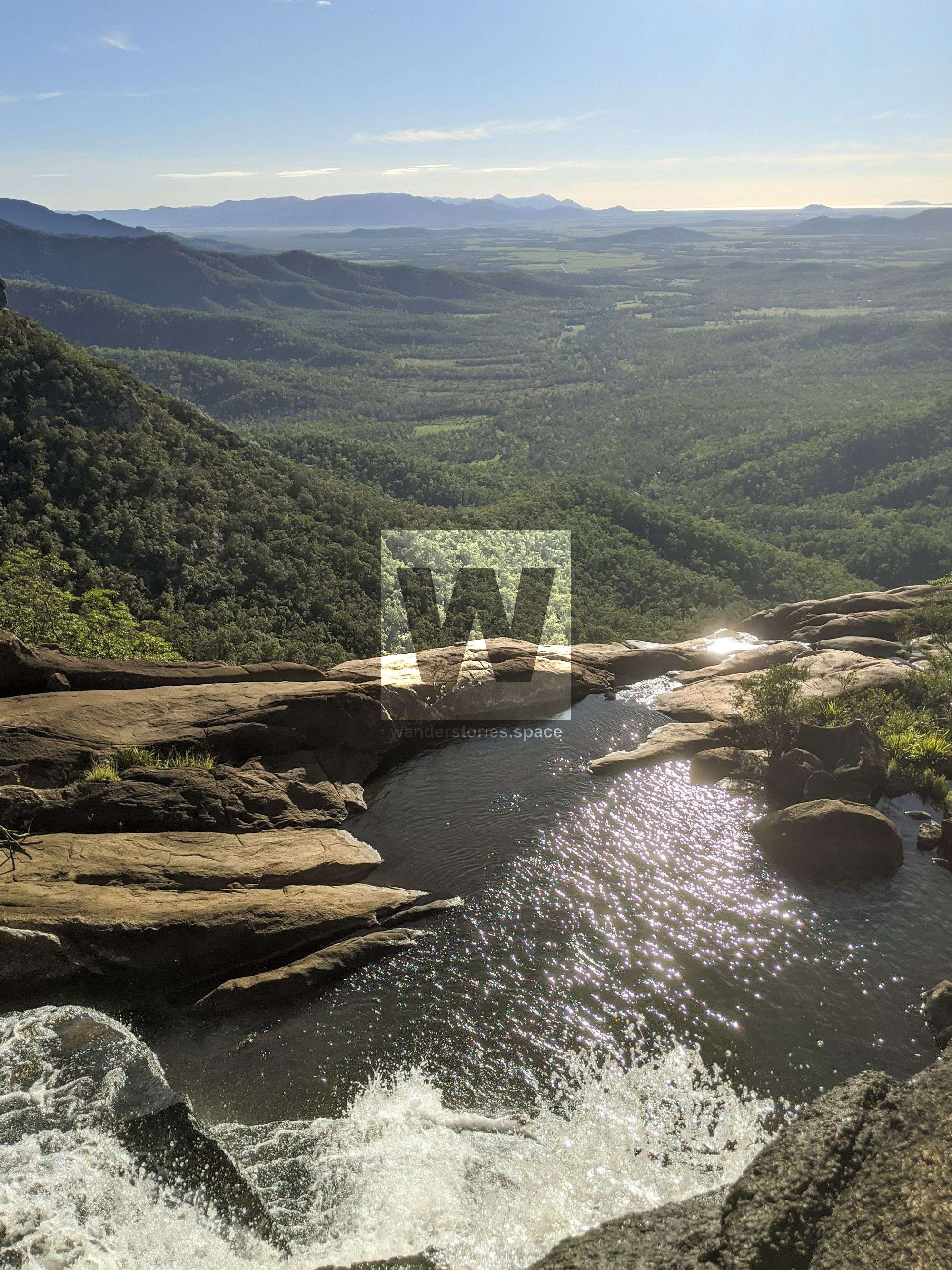
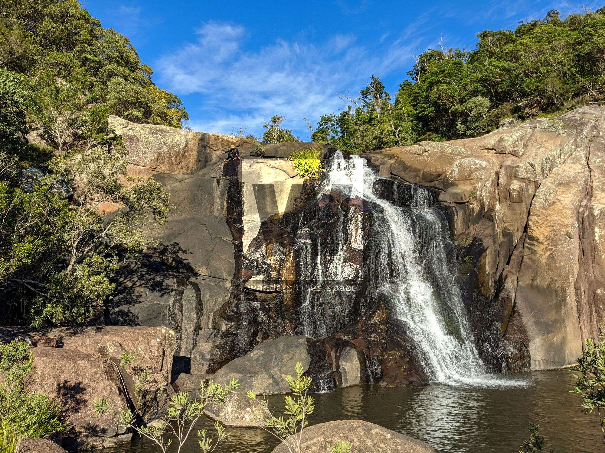
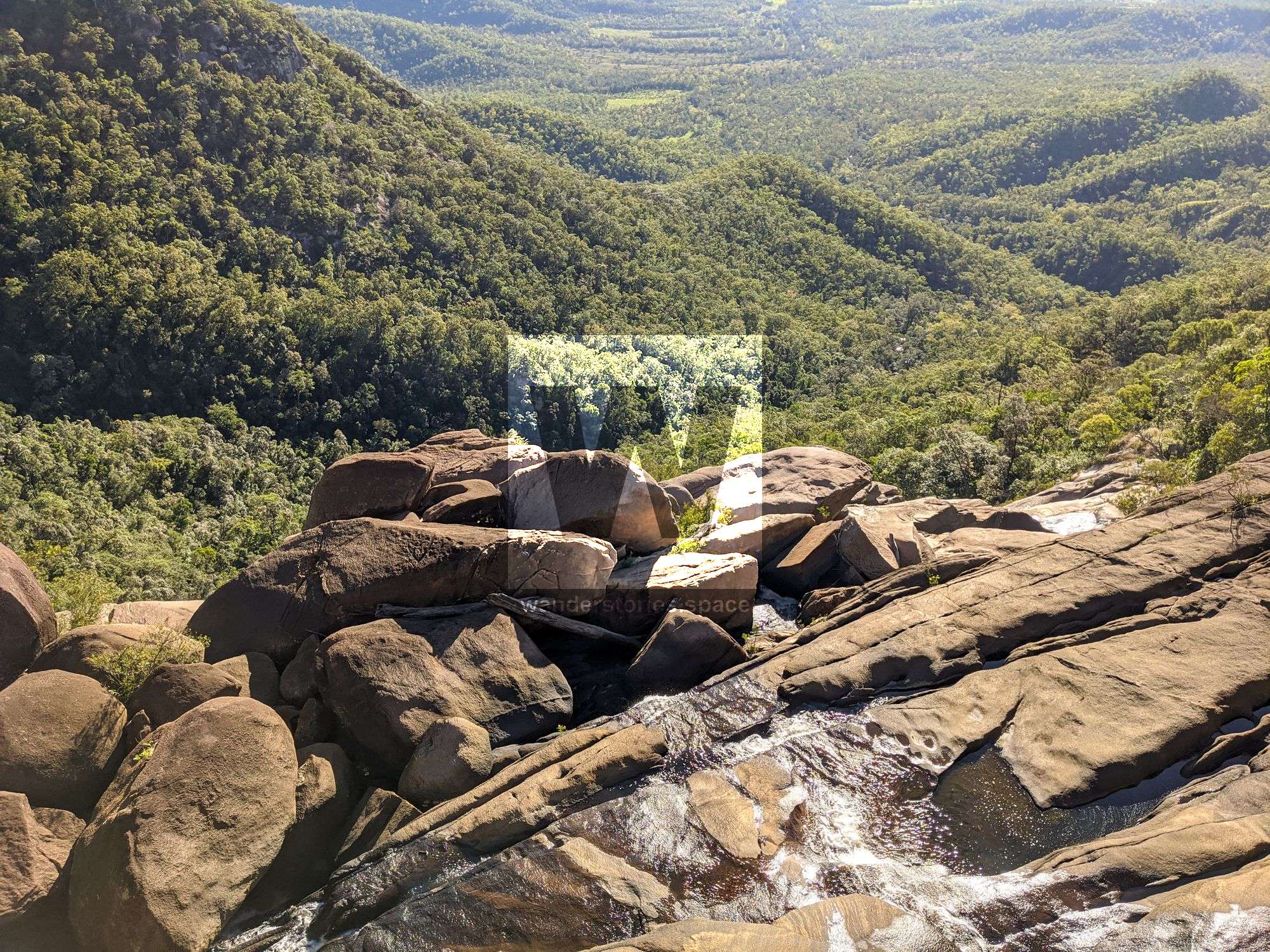
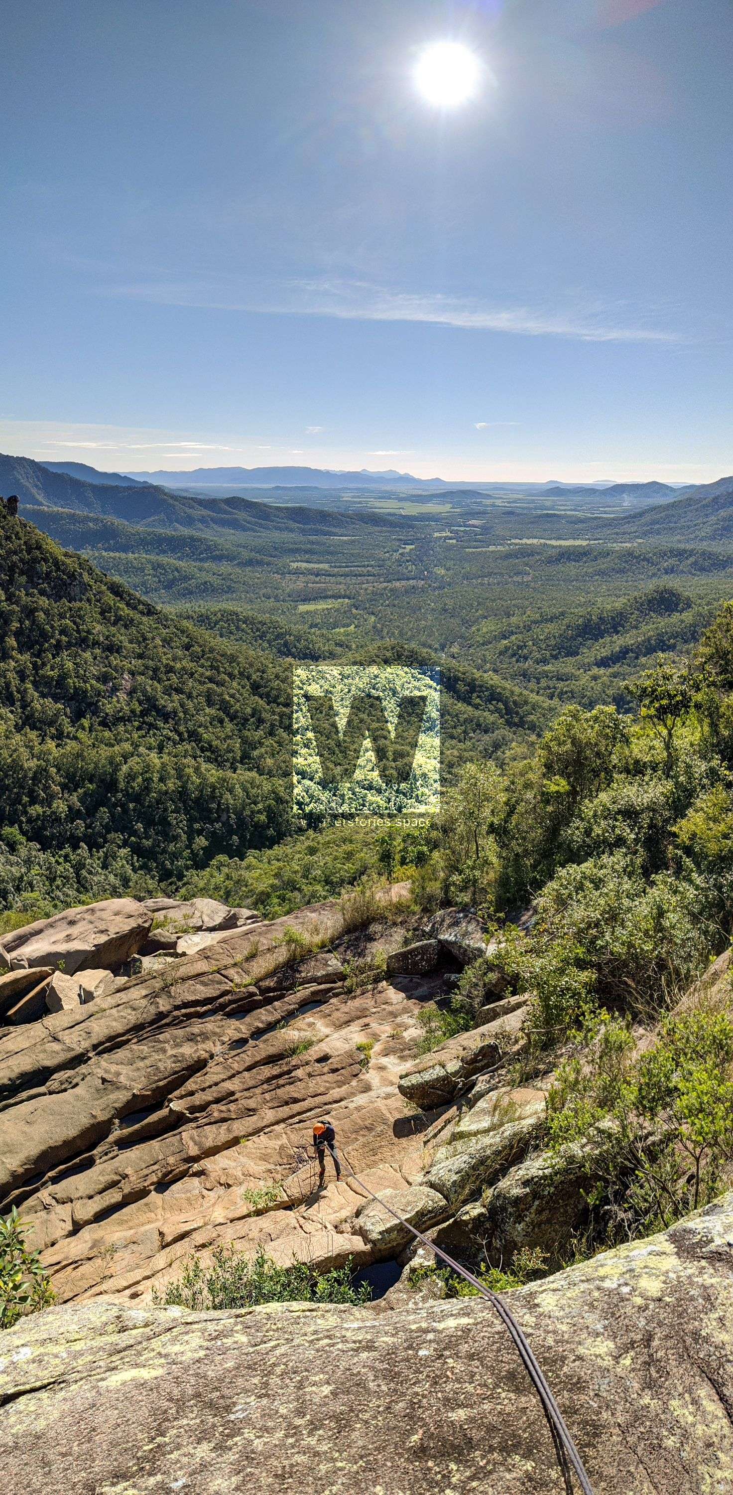
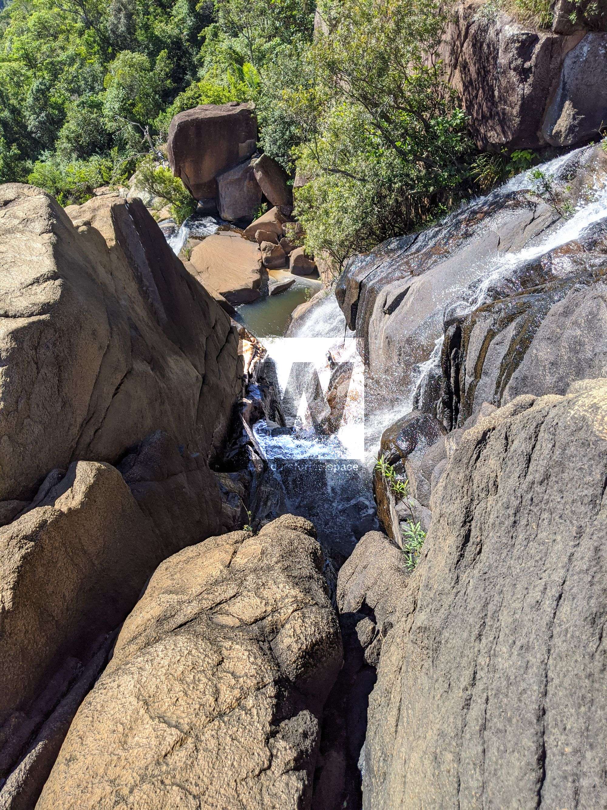
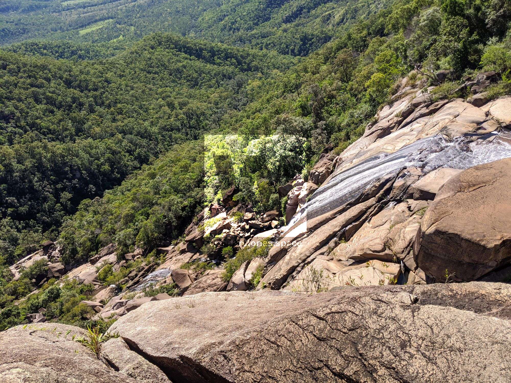
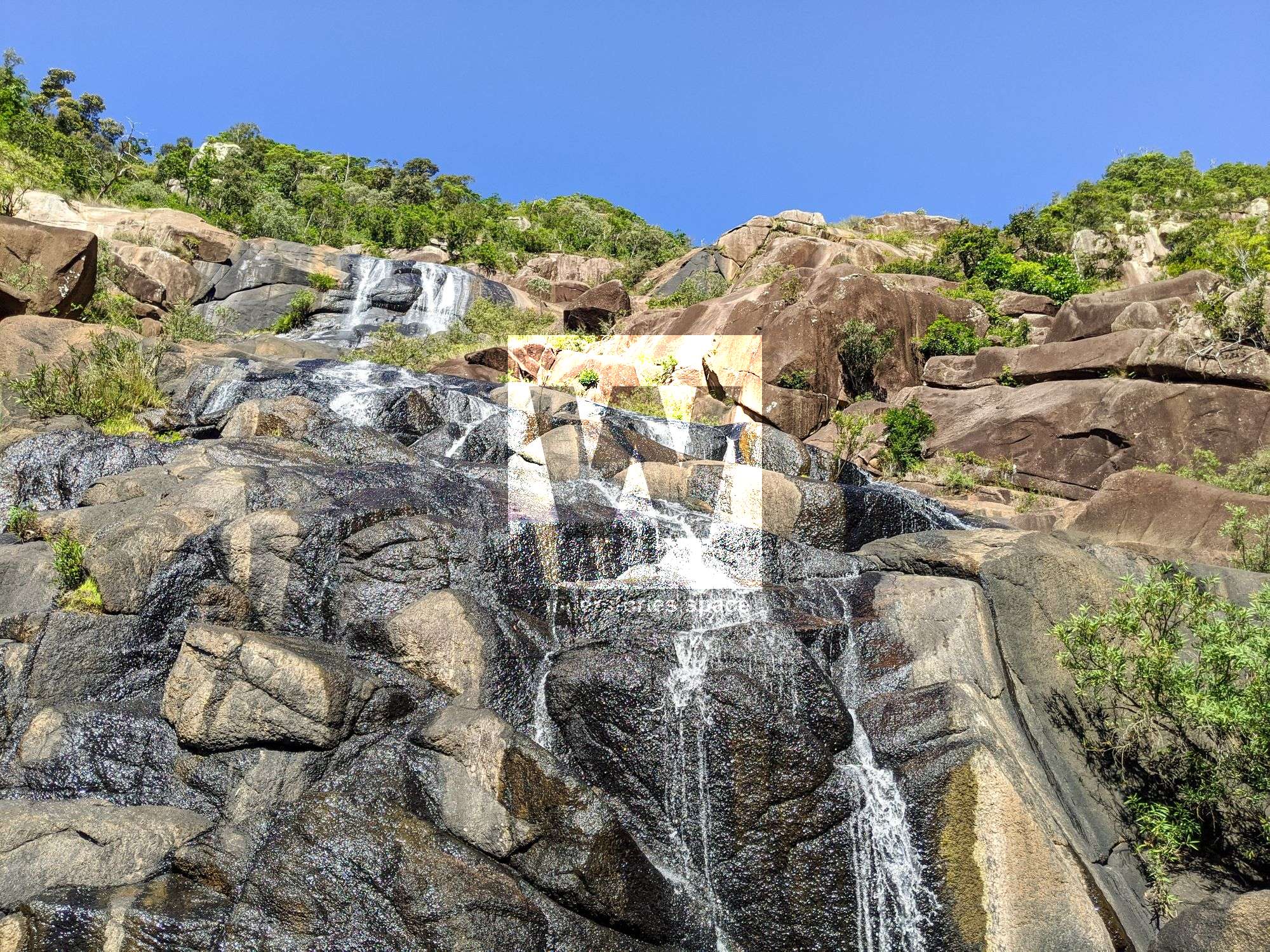
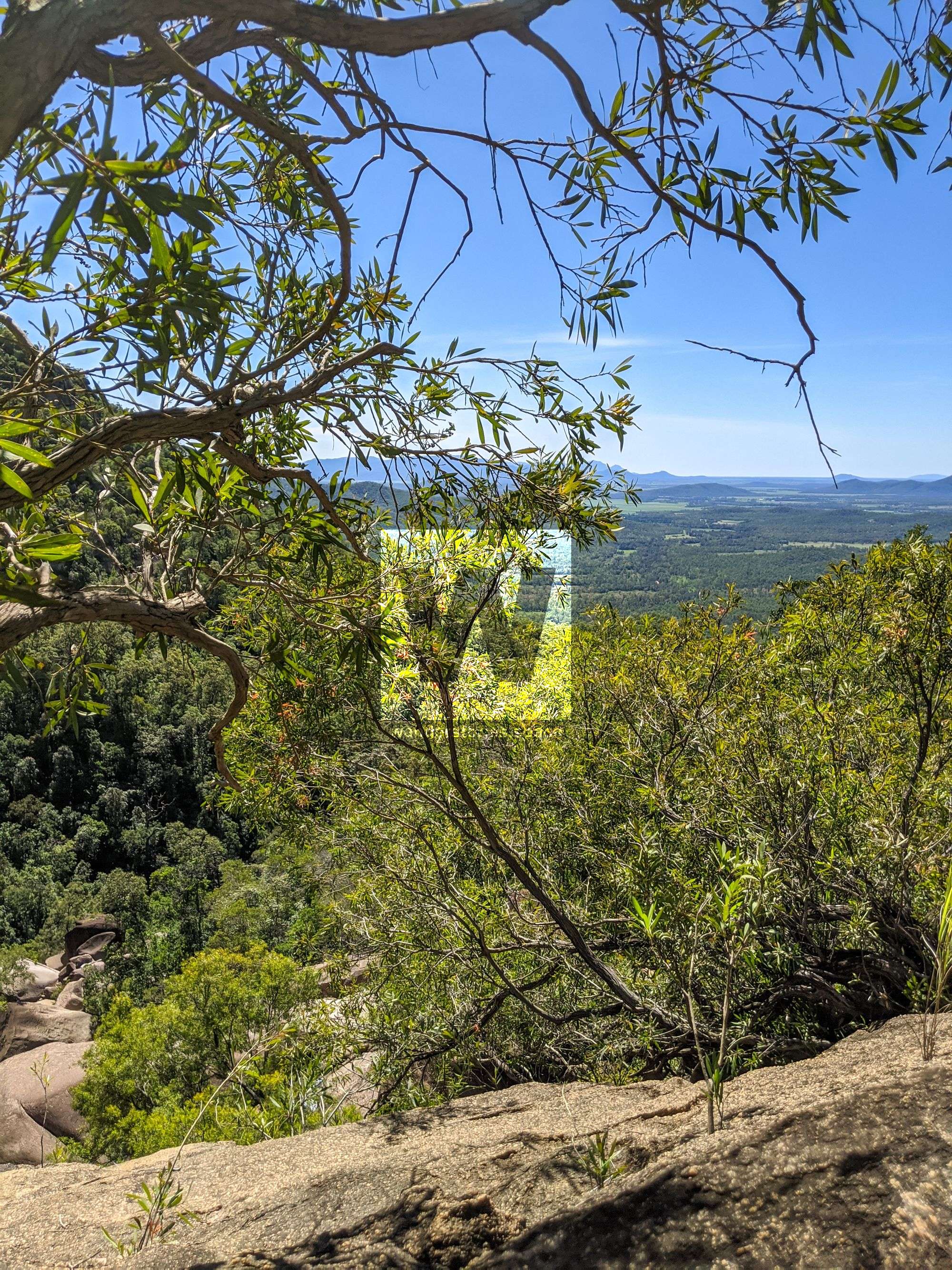
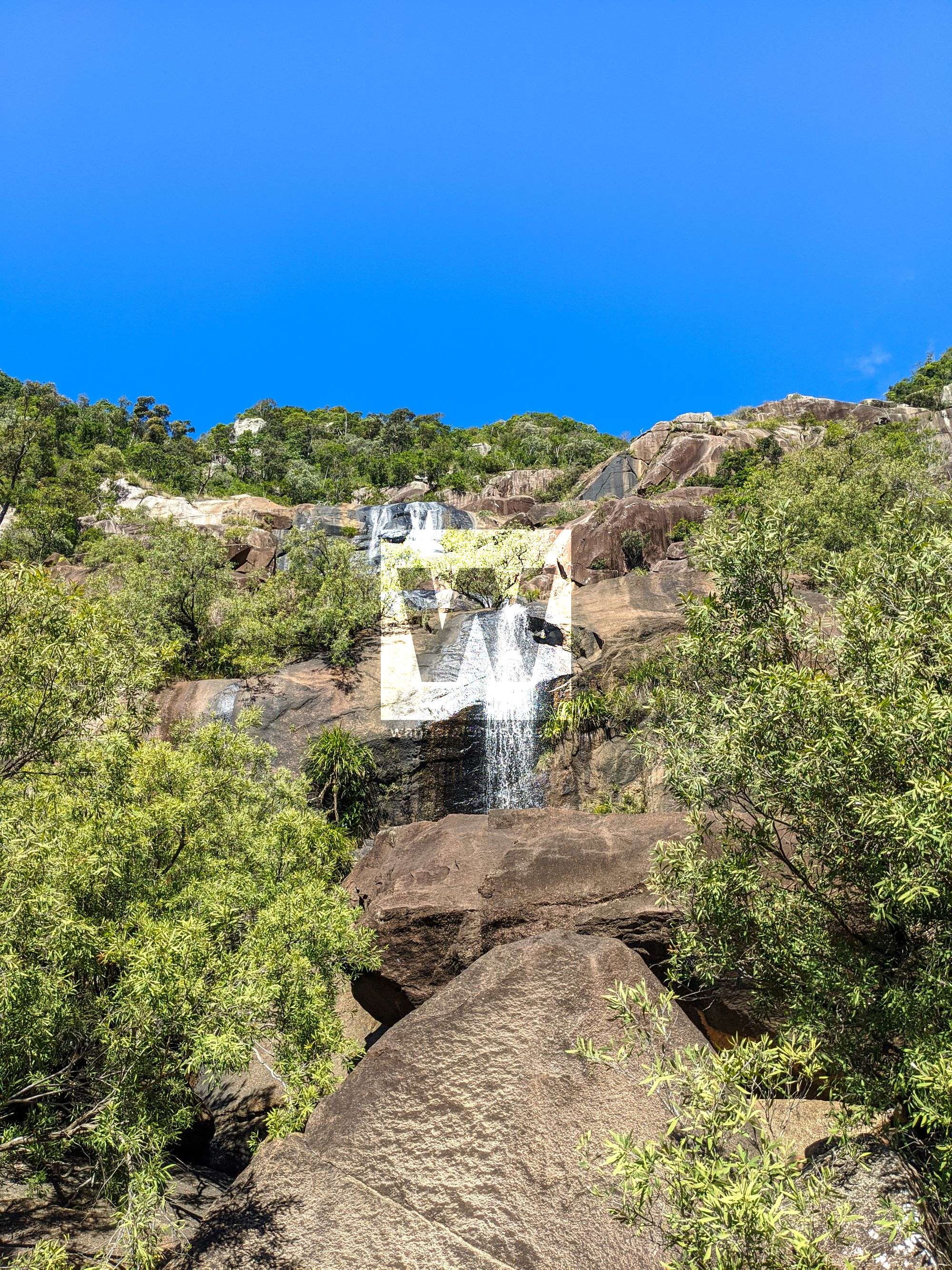
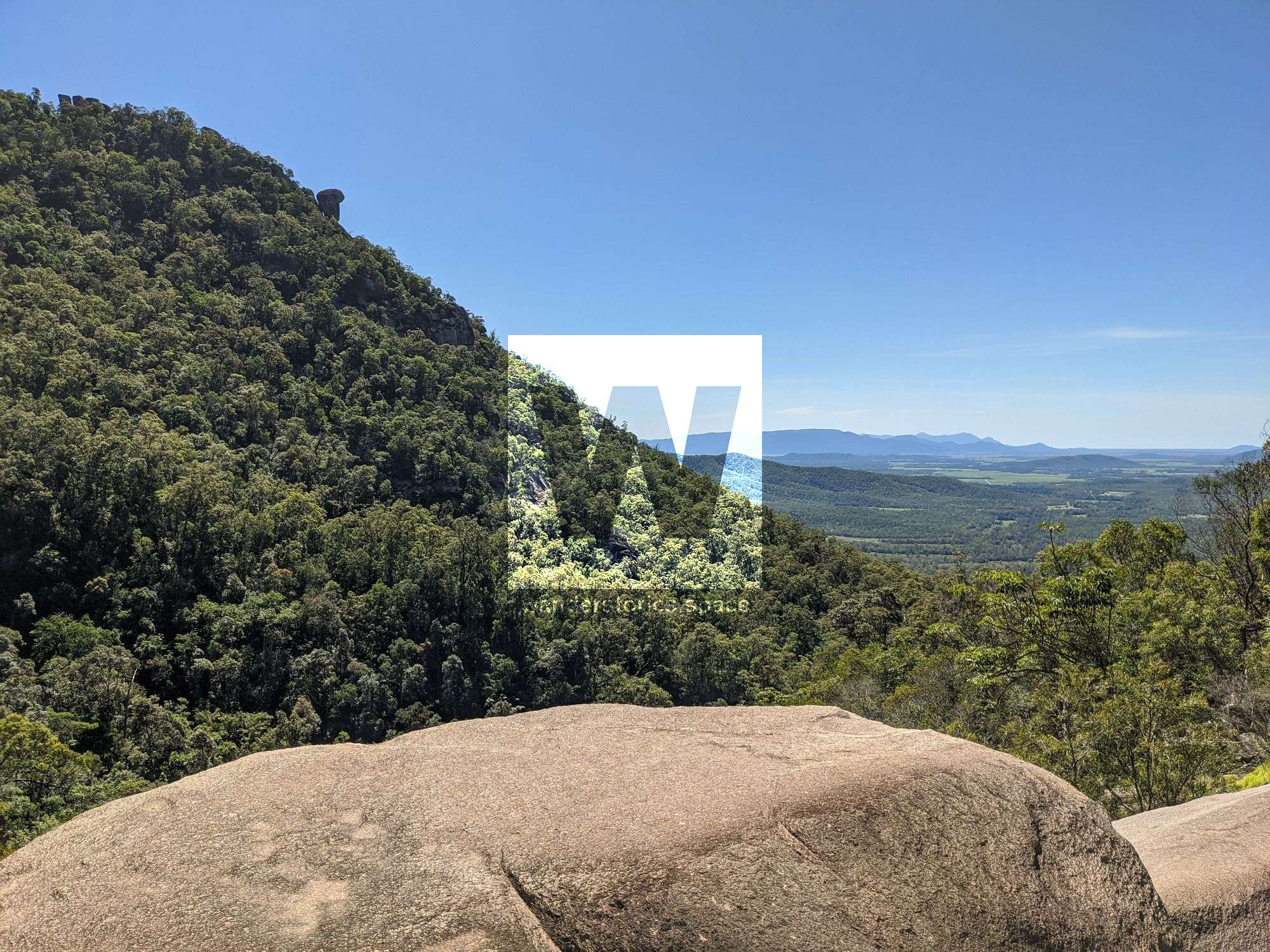
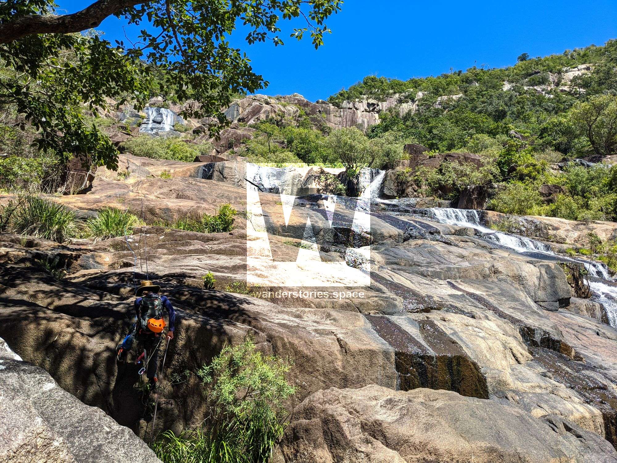
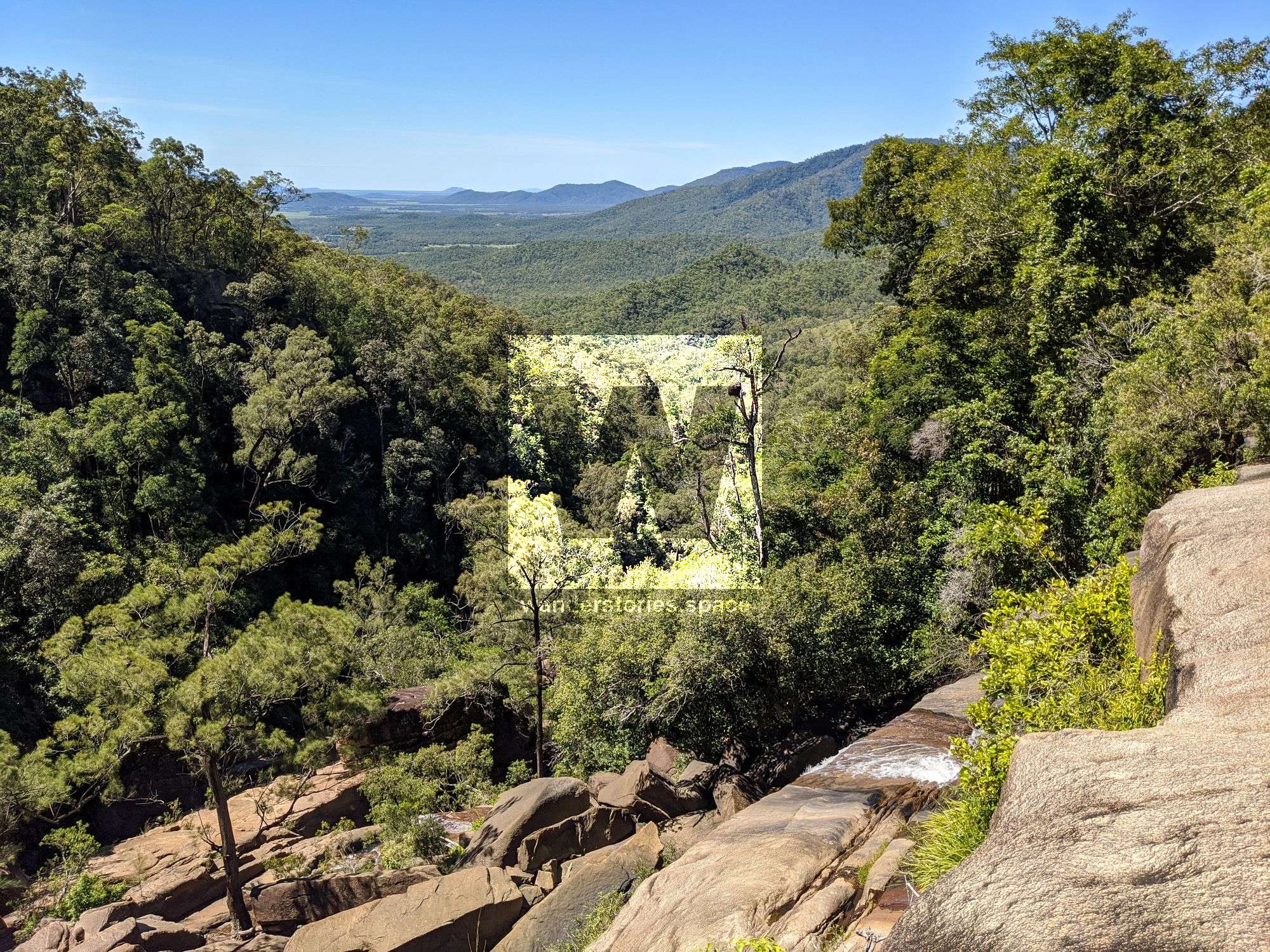
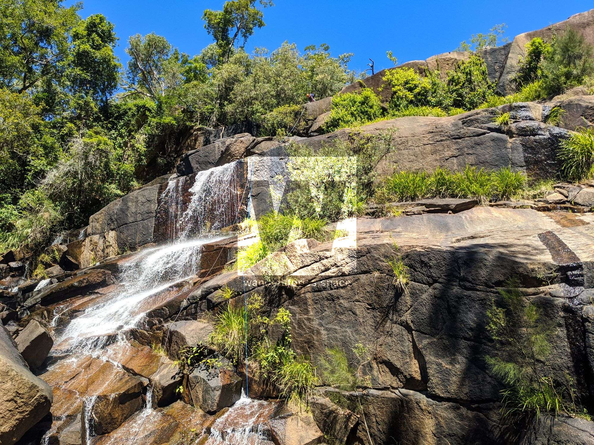
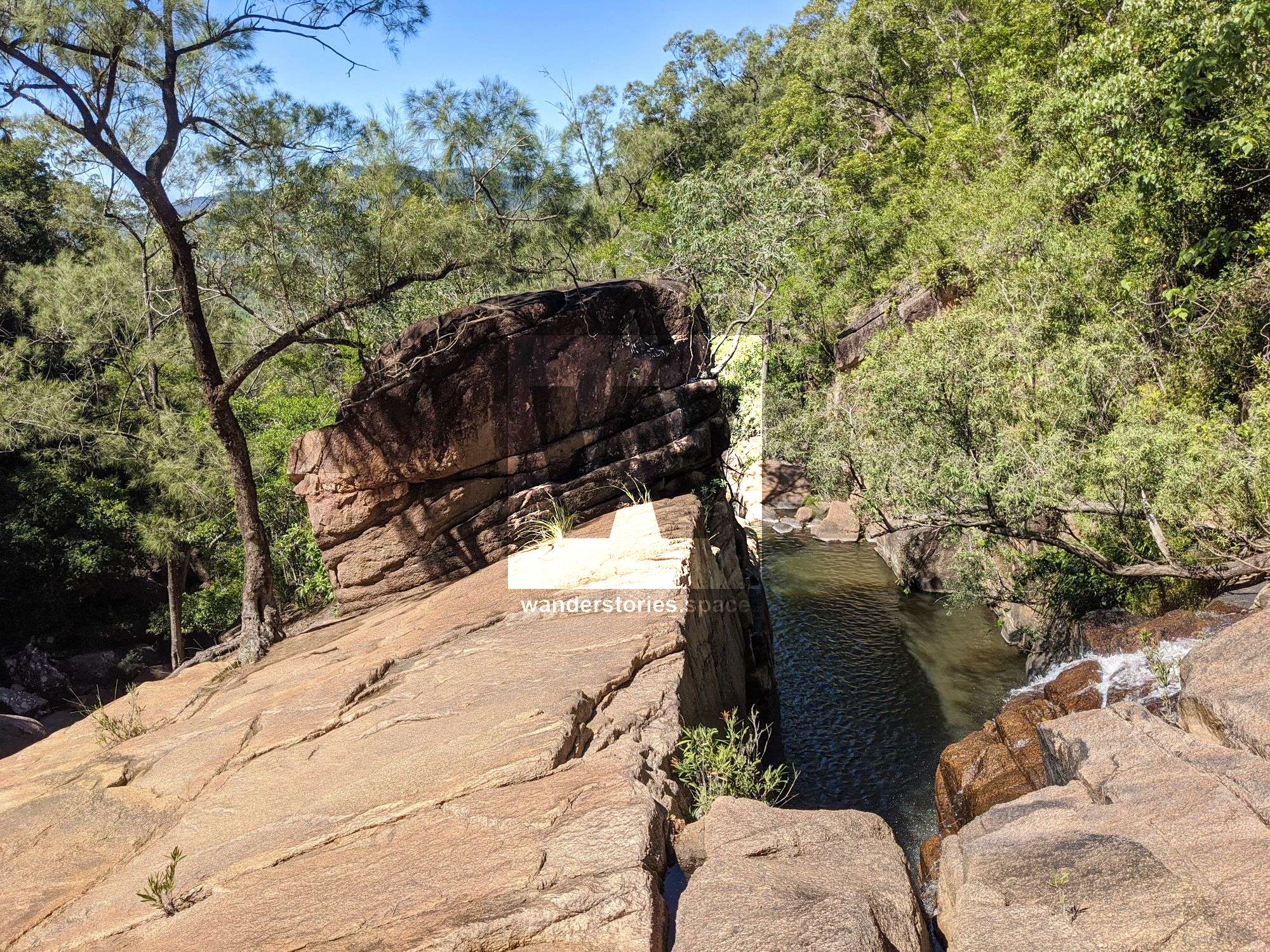
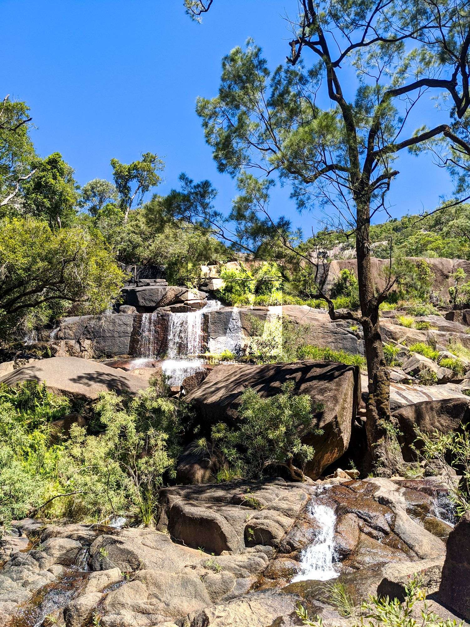
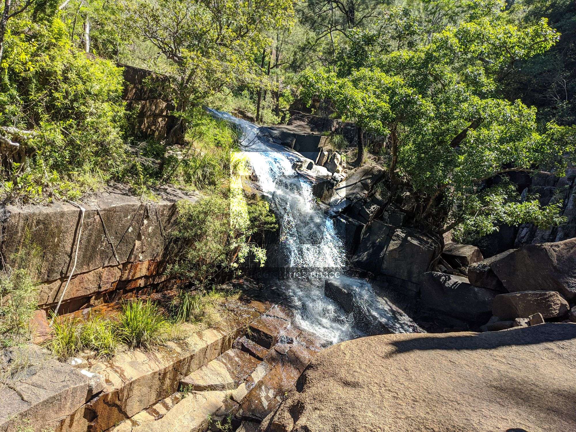
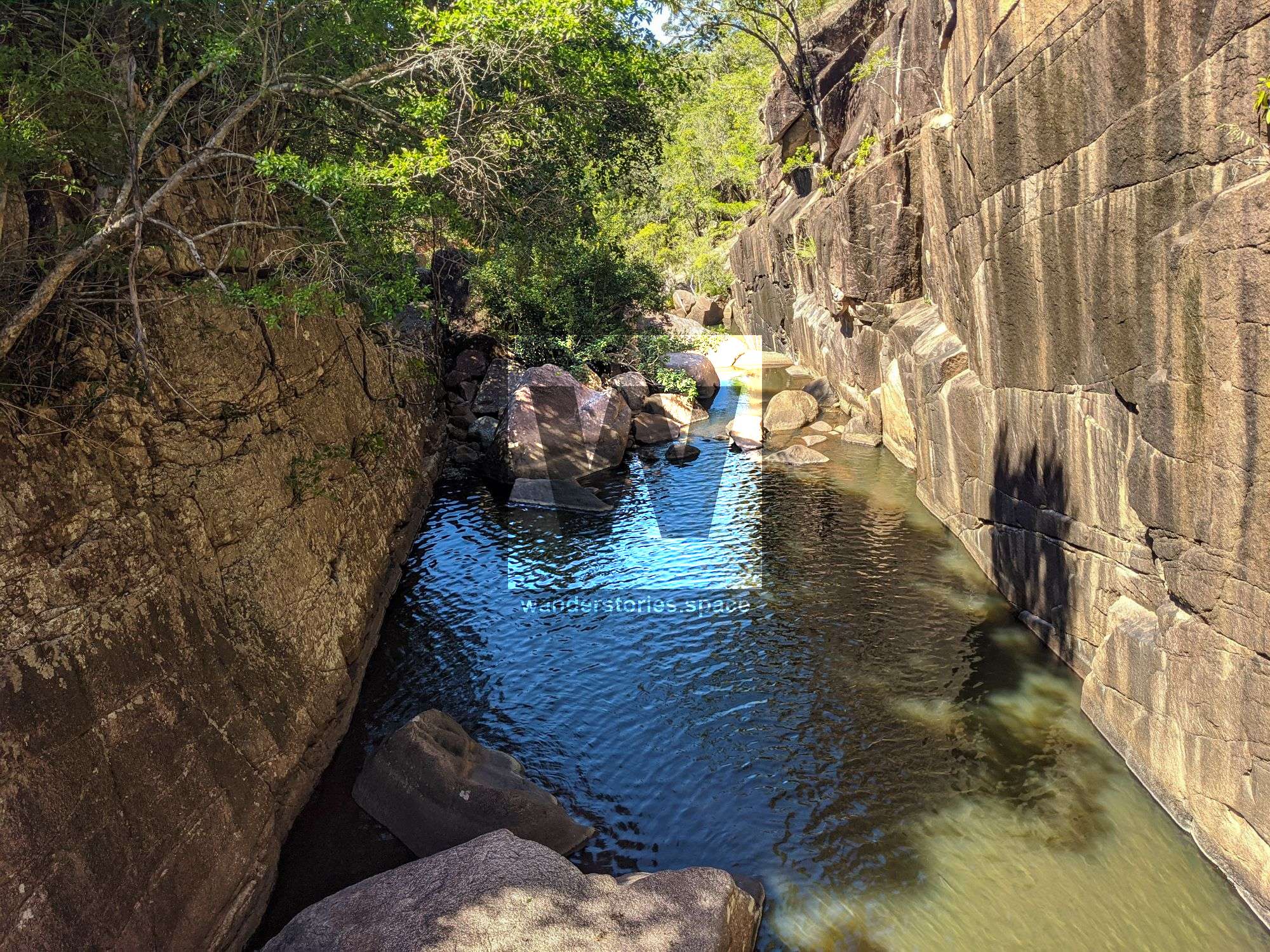
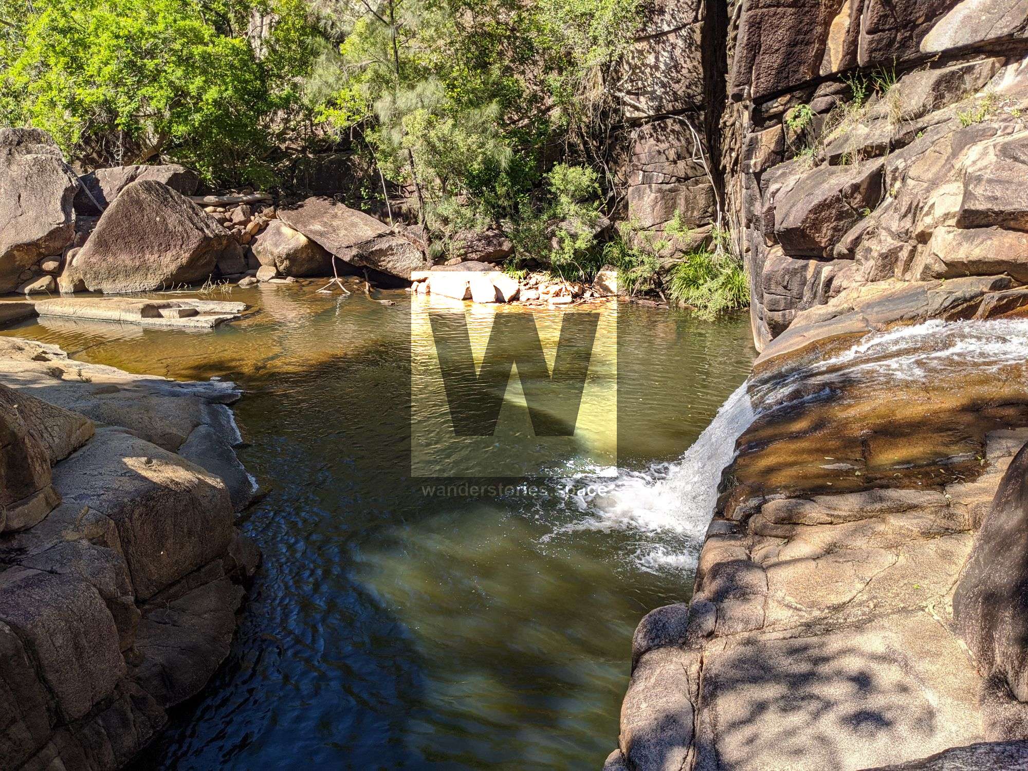
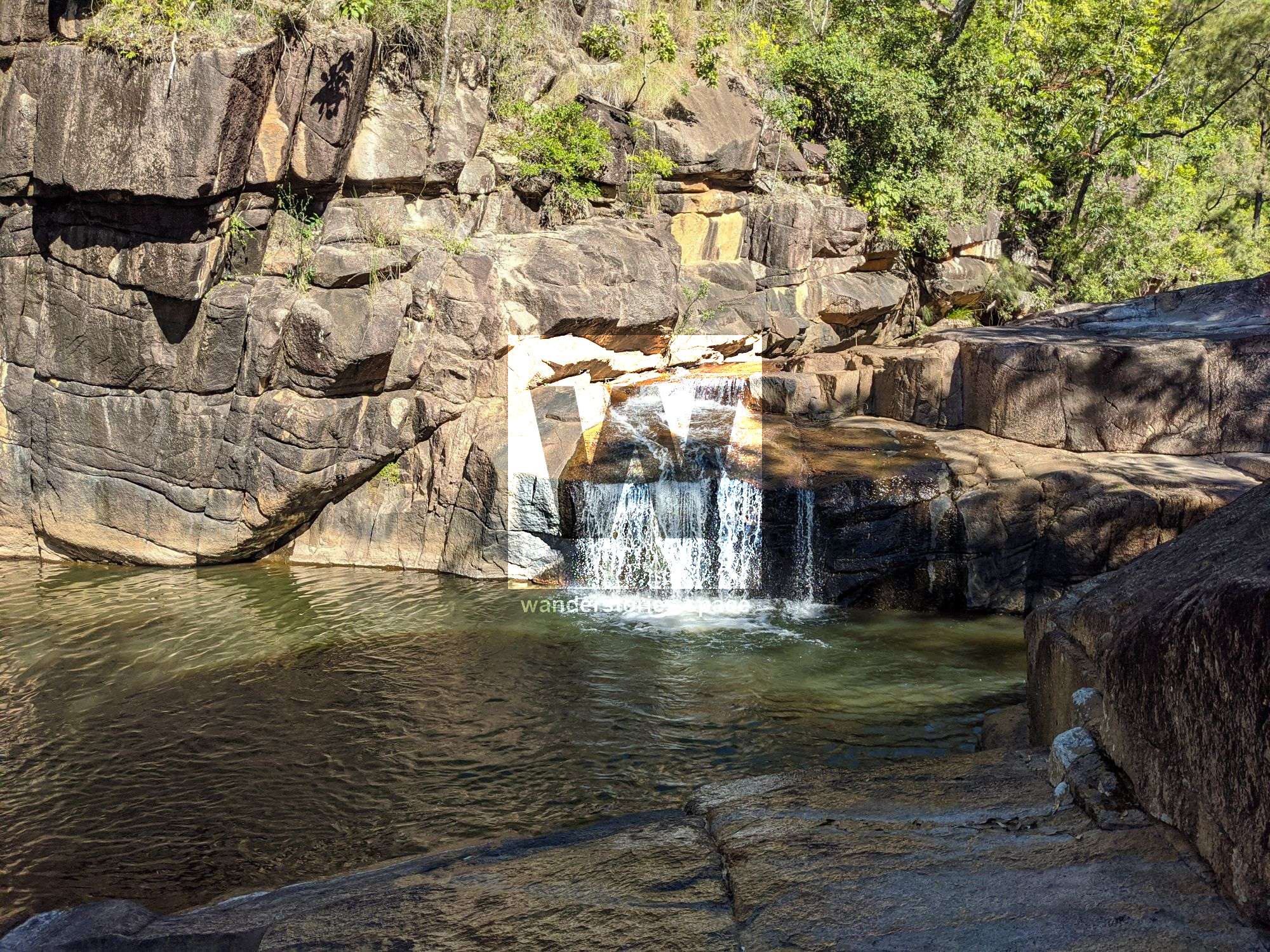
This canyon has grand views and some unique rappels. Raspberry Falls is an open creek where that water cascades down the terraced, bare granite rock cliffs. The landscape is open and rugged. It's one of the larger systems that drop off the Sea View Range.

Raspberry Canyon
Location - Girringun National Park, North Queensland, Australia
Approach Difficulty - Grade 4 (AWTGS)
Grade - V4 A1 III (French Grading System)
Total Distance - Approximately 7 km
Total Time - 5-8 hours
Approach - 1 hour
Descent - 5-7 hours
Exit - 1 hour
Elevation loss - 500 m
Flash flooding level - Low
Longest rappel - ~70 m
This canyon has grand views and some unique rappels. Raspberry Falls is an open creek where that water cascades down the terraced, bare granite rock cliffs. The landscape is open and rugged. It's one of the larger systems that drop off the Sea View Range. Raspberry Creek flows into Stone River (West Branch).
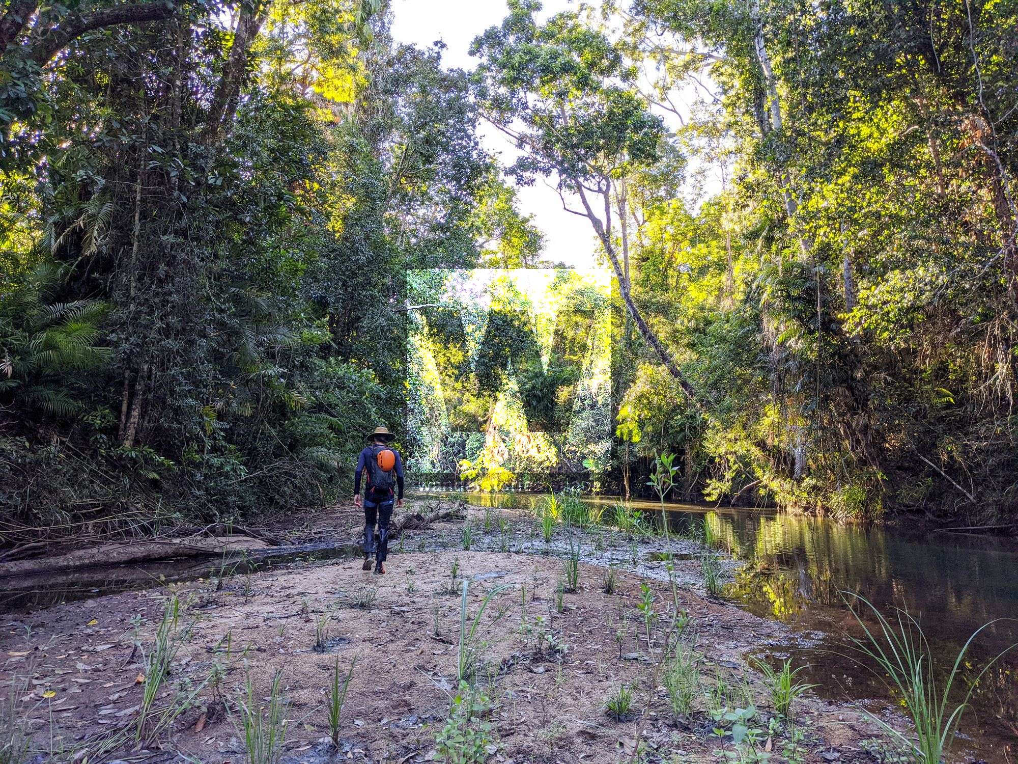
Approach
The approach is well-documented in the How to get to Raspberry Creek Falls article. Note that lawyer cane (wait-a-while) and stinging tree (gympie gympie) are present in this area.
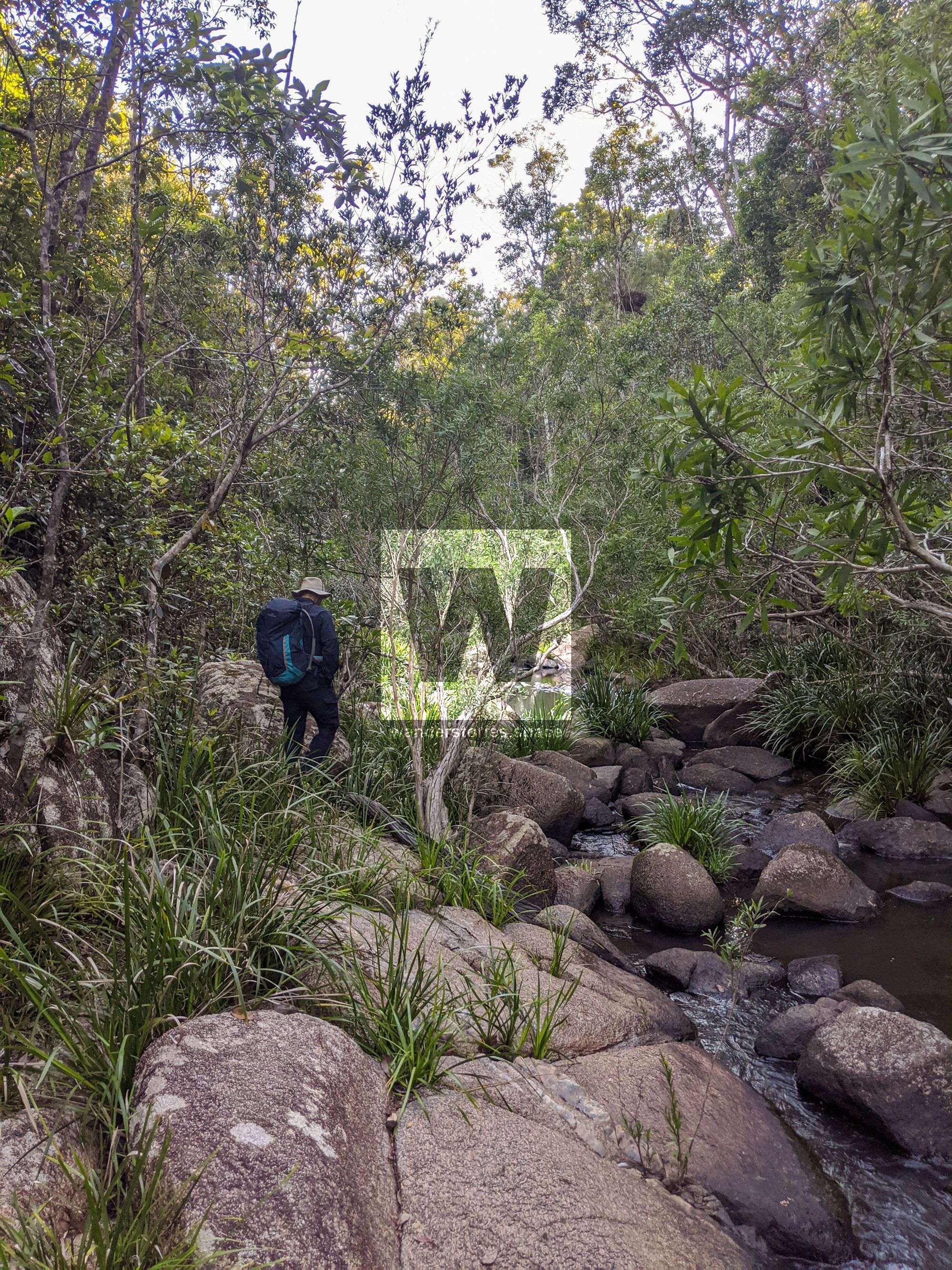
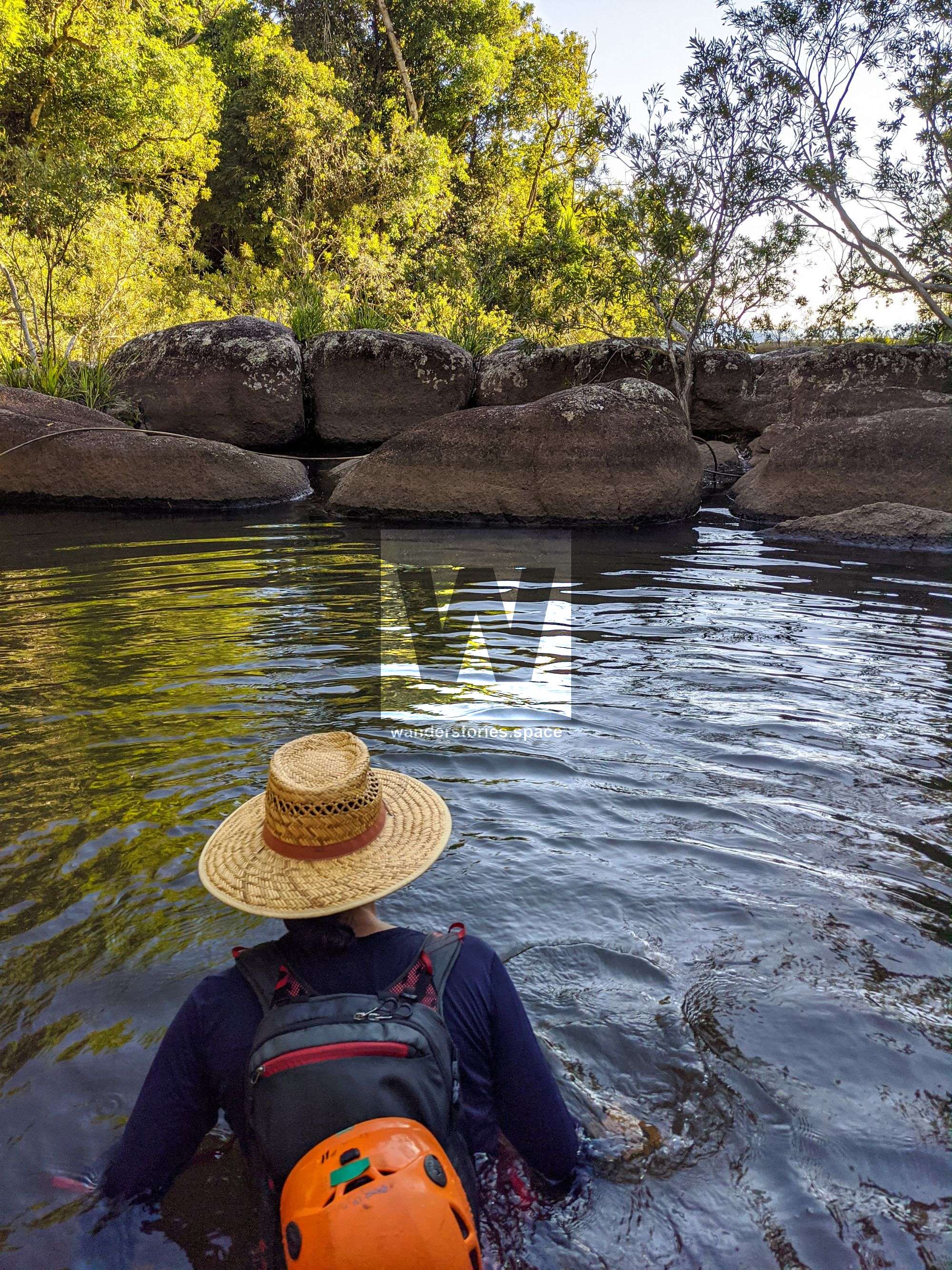
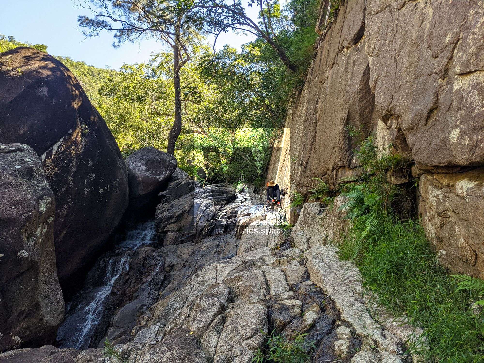
Scramble down the rocky slabs to a point where you can not easily go down the rocks cliffs.
Interactive Map
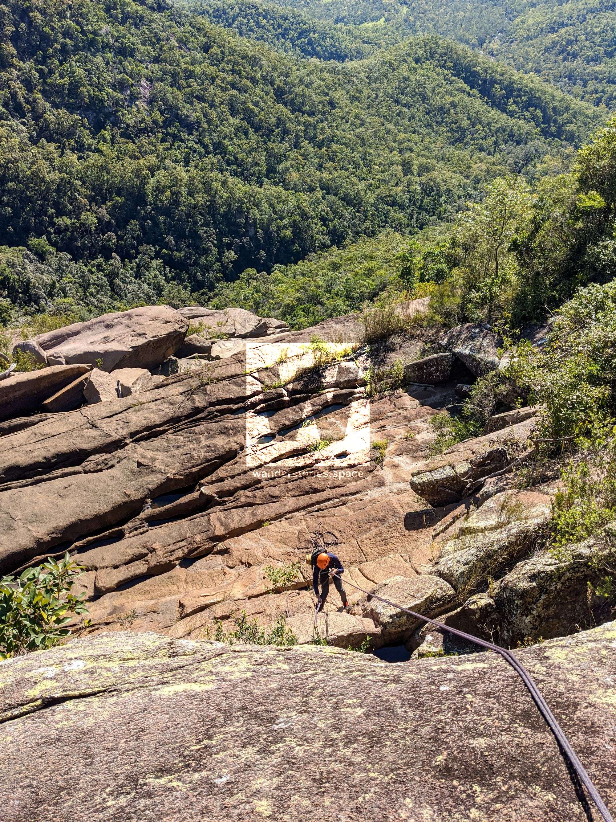
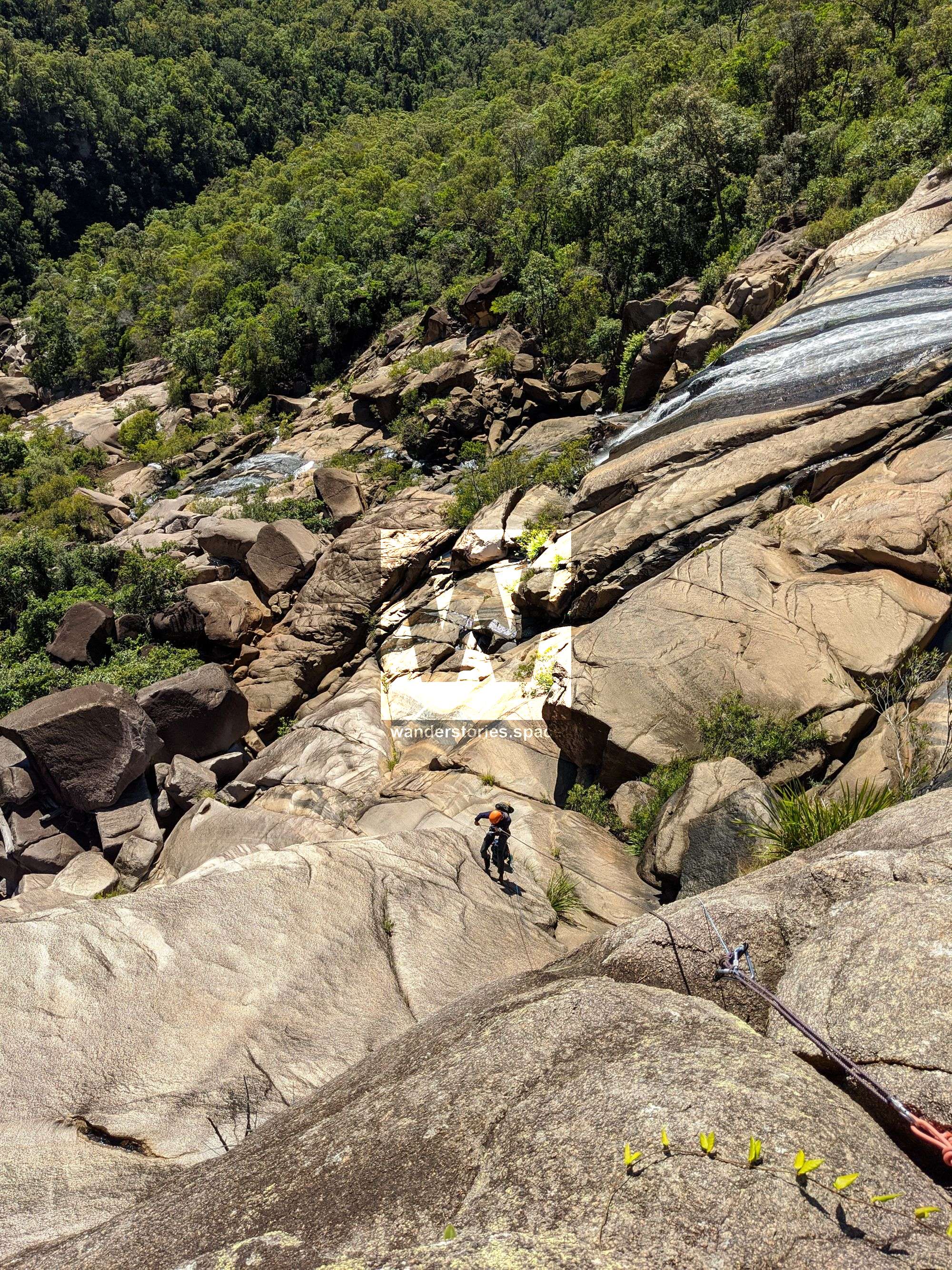
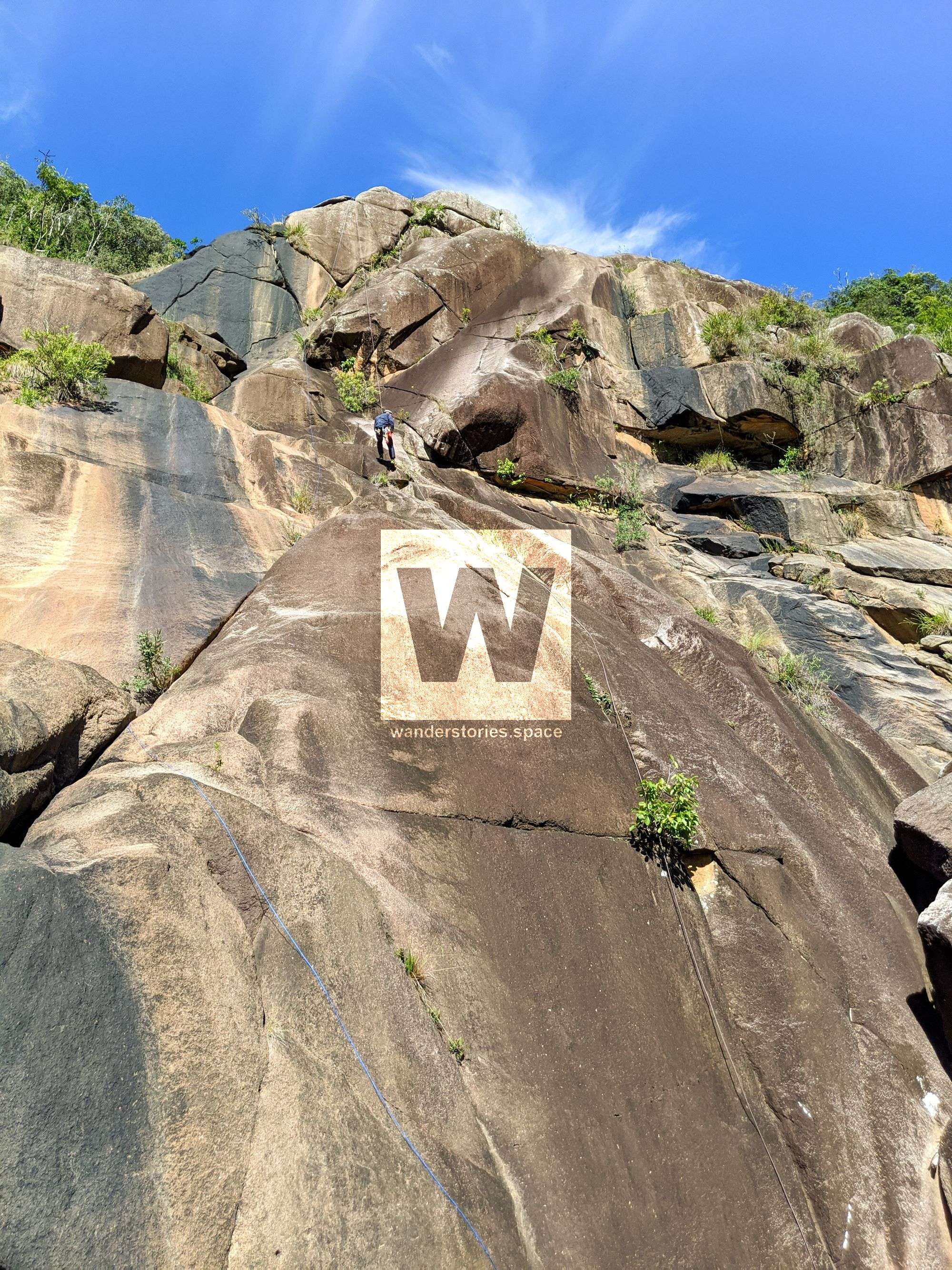
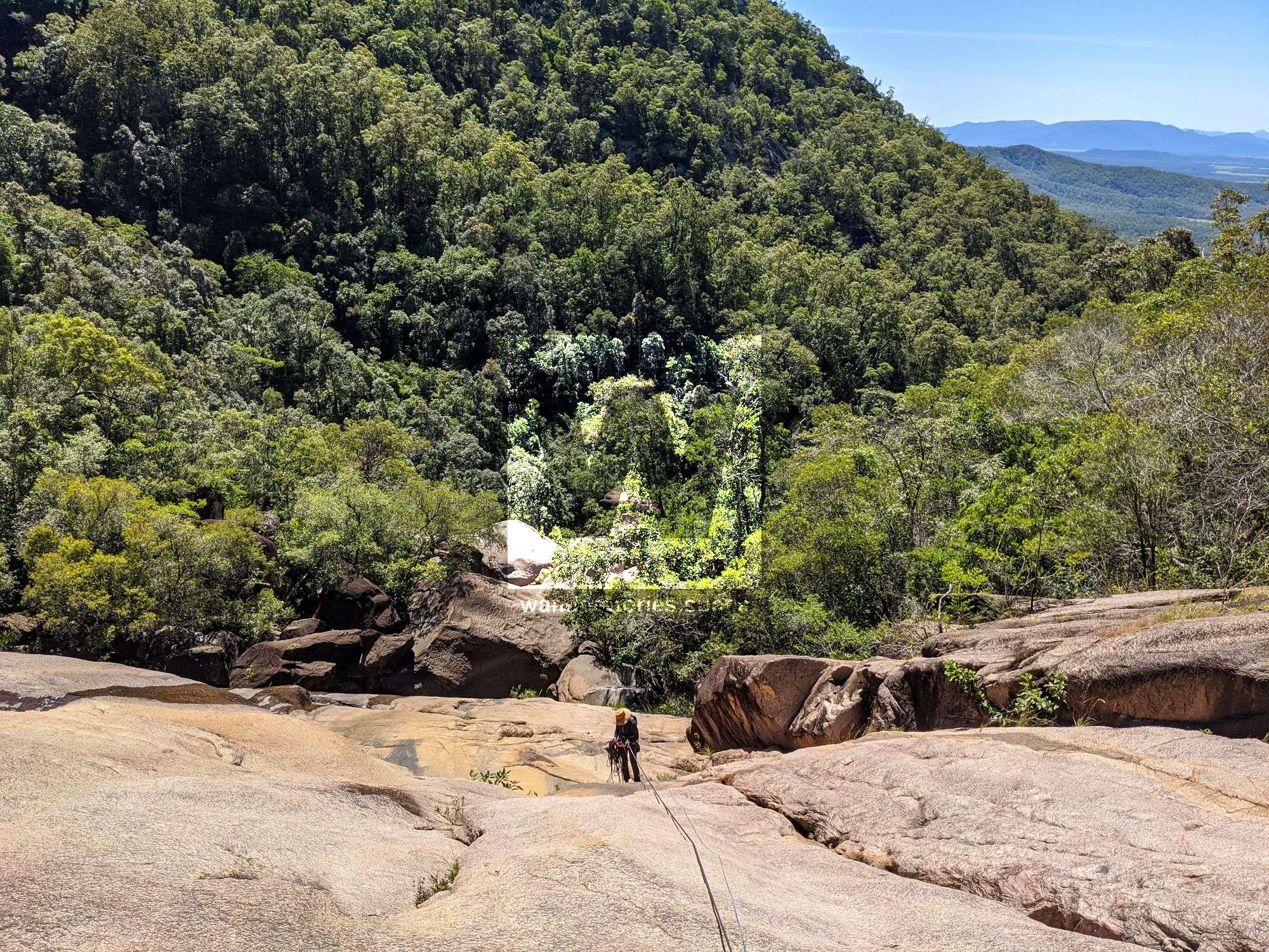
Rappels
There are several ways to do this canyon. Most of these falls can be avoided and walked around. There are several places to rappel from and not just the ones listed below.
R1 8m NA-TR
Option 1: Scramble down ramp L-R. Do not attempt in wet conditions.
Option 2: Rappel from nature anchor.
DANGER 1: Scrambling may be hazardous in wet and high flow conditions.
R2 8m NA-TR
Chock stone.
DANGER 1: Scrambling across left may be hazardous in wet and high flow conditions.
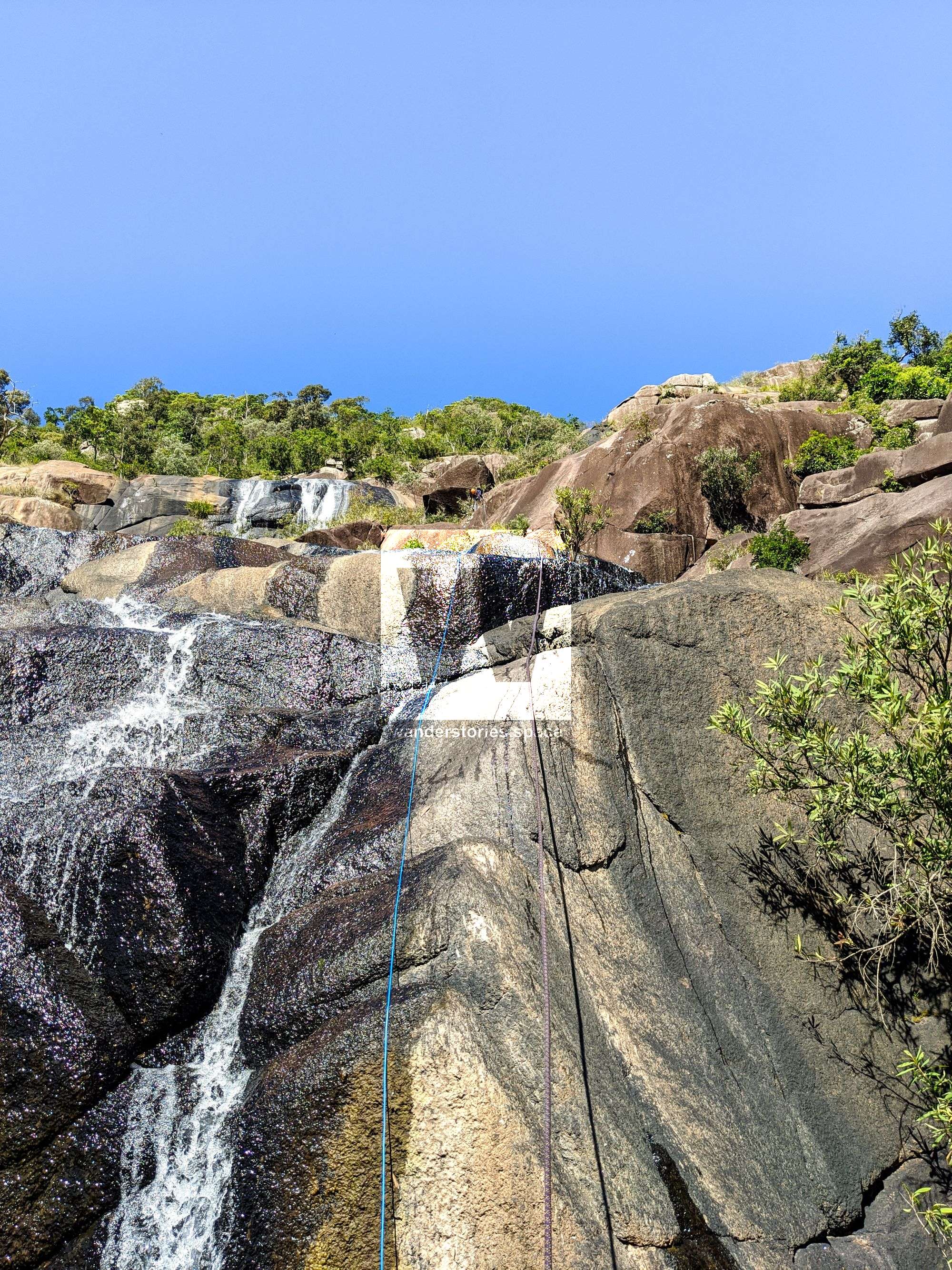
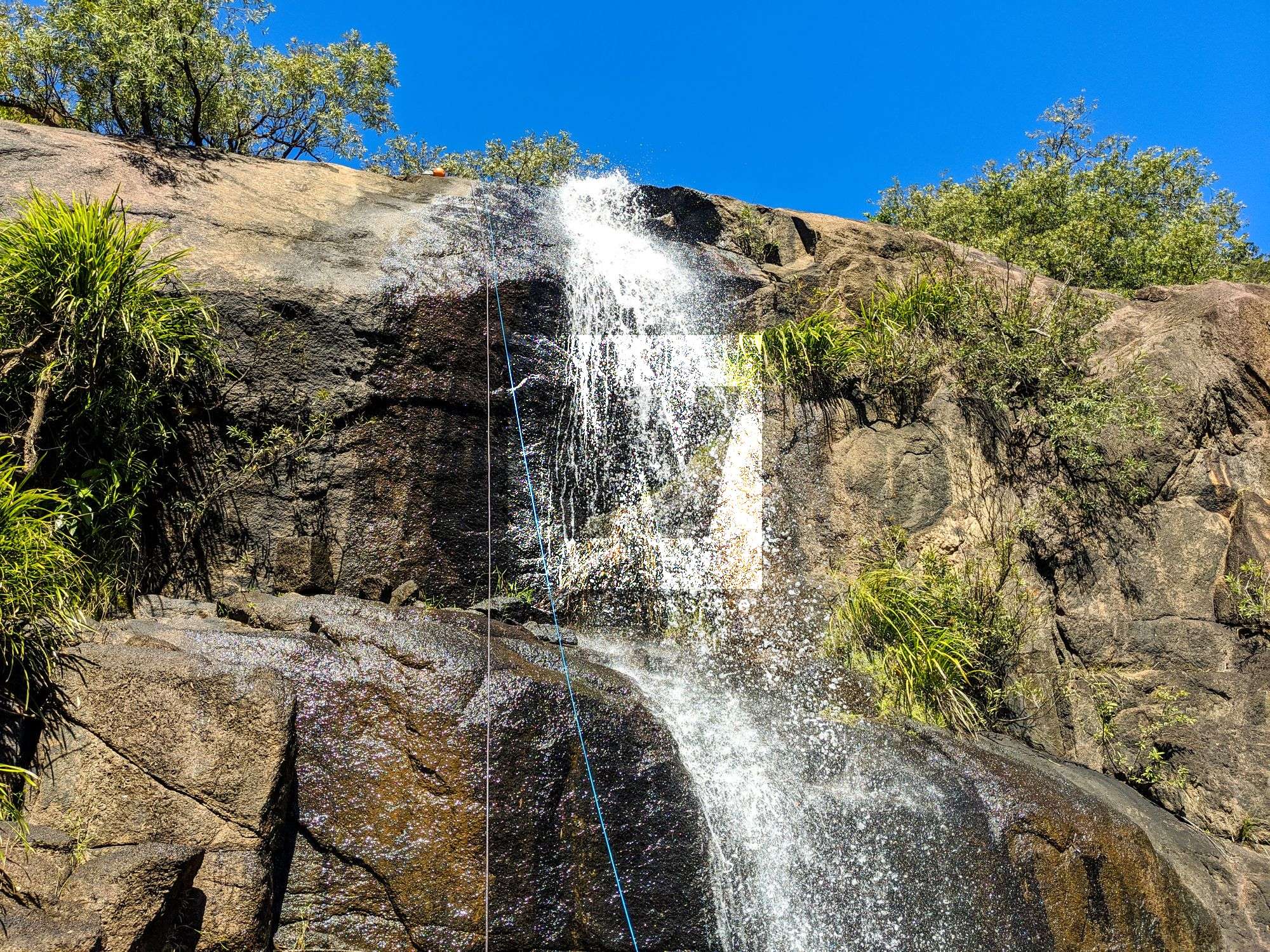
R3 70m NA-TL
Option 1: Crack for advanced canyoners.
Option 2: Scramble down and across waterfall to other side for NA.
R4 35m NA-TR
Rappel from chockstone.
R5 8m NA-C
Rappel from tree.

R6 35m NA-TR
Option 1: Scramble down slab - not possible in wet conditions.
Option 2: Rappel from tree.
R7 15m NA-TR
Rappel from tree down terraces waterfall.
Scramble around left and down.

R8 6m NA-C
Option 1: Scramble down just TL of cascade.
Option 2: Rappel from tree.
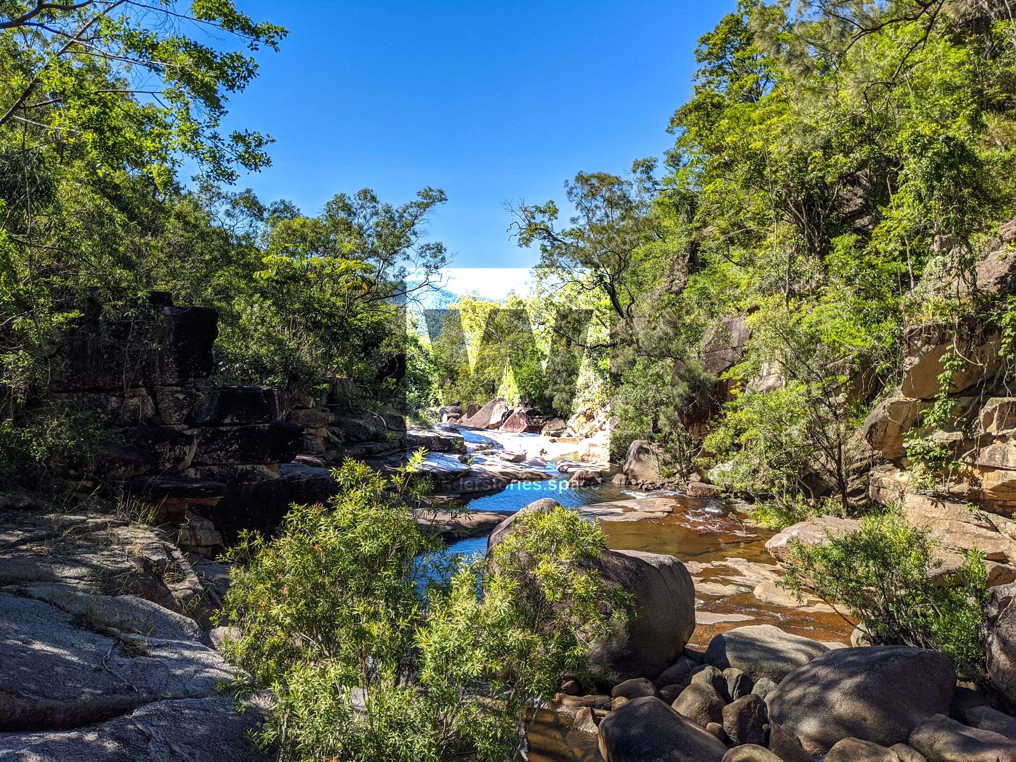
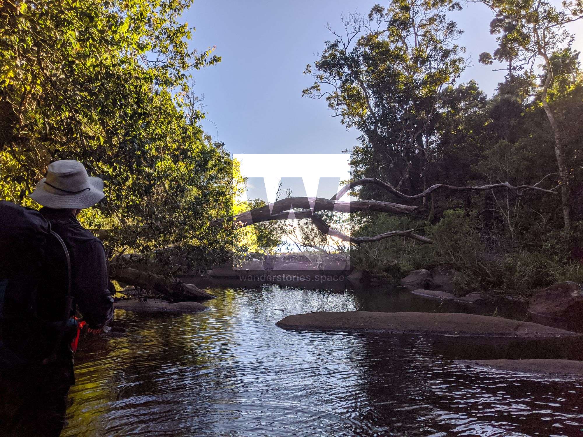
Exit
Continue to rock hop down the creek until you are near one of the old, disused roads. Navigate along that road until you reach your vehicle.
Notes
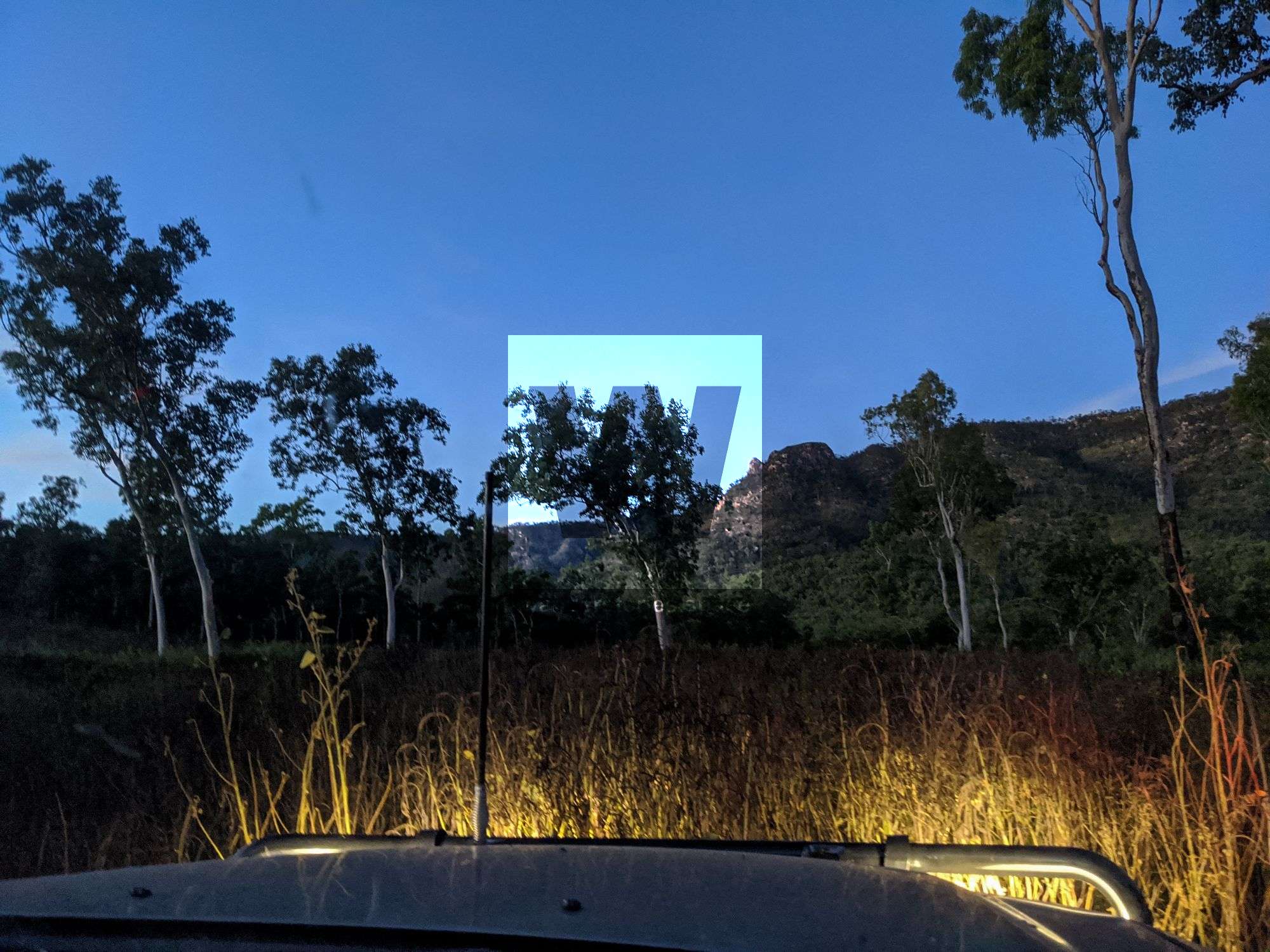
The canyon is best done with a car shuttle. The lower Range View Nature Refuge road is overgrown so it's recommended to have a four-wheel drive with a screen to prevent grass seeds and leaves from blocking your car's radiator.
Your team should have good navigation skills and appropriate experience. This trip requires a car shuttle. It's a two-hour drive north towards Mount Fox.
WHAT YOU WILL NEED
- Experience in abseiling (there are some technical challenges)
- Enough rope for the longest rappel
- Rappel devices, prusiks, and webbing
- Grippy shoes on smooth, wet granite rocks
- Helmet
- Backpack
- Food and snacks for the day
- About one litre of water to hike to the top and a way to sterilise your water from the creek
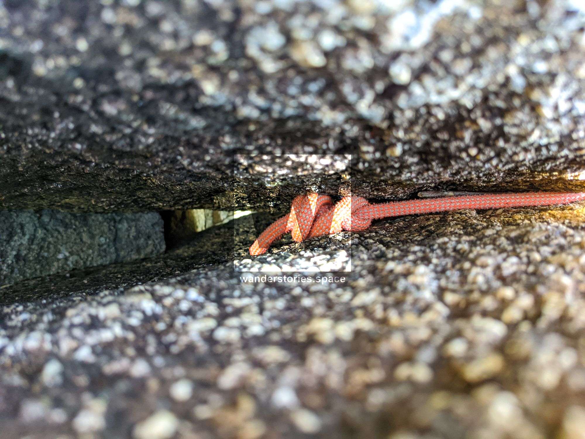
Anchoring notes
There are various natural anchors throughout the canyon, however, it is not unusual to come across damaged trees, especially after large flooding events. Please use sound judgement when considering previously installed anchors, like tape slings, ropes, and other textiles. There are no bolts in this canyon.
Surfaces
Along the route there are various sections of wet, slimy, and dry rock, as with all canyon environments. Please be mindful of your traction and regularly test your grip throughout the route as you cannot rely on the colour or texture of the rock to determine its safety against slippage. Take caution when near cliff edges.
Experience
No responsibility or liability is taken for any harm, death or loss of property resulting from the use of this article. You must carry anchor building materials, be experienced and use your own judgement when canyoning. Flooding events can strip anchors and change the canyons layout and conditions. Improper and insufficient experience will result in serious injuries or in many cases death. Always respect all signs you encounter and take everything in you brought with you.
Please read the Beginners' tips for canyoning in North Queensland article.
See our general disclaimer that includes canyoning.
Canyoning Topo
This canyoning topo is for illustration-purposes only.
TO BE UPLOADED - ASK.
Legend
X / XX - Single and twin bolt anchor.
NA - Natural anchor such as a tree or rock.
TL / TR / C - True left, true right and centre when looking downstream.
R1-8m / R2-6m - First rappel and its height in metres, second rappel and height.
Optional - These rappels can be avoided by exiting prior or walking around.
Please note that an activity permit may be required in national parks.
If this information is outdated or you would like to make a correction, please contact us.
Photos in the article are by Luen Warneke and Dirk van HestThis article, and all other articles, are for entertainment purposes only and are not to be used as a guide. Please see our Disclaimer for more information.