Spring Creek and The Shoulder
Spring Creek and The Shoulder are located in Bowling Green Bay National Park. The Shoulder (1,022 m) is between Mount Elliot and Sharp Elliot and can be approached via Hidden Falls or Spring Creek.


Location - Bowling Green Bay National Park, Queensland, Australia
Grade - 5, difficult, recommended for experienced bushwalkers only
Distance - ~10 km return, depending on route
Time - 6-10 hours return, depending on route
Elevation gain - ~1,050 m
Both Spring Creek and The Shoulder are located in Bowling Green Bay National Park just south of Townsville, North Queensland. The Shoulder (1,022 m) is located between Mount Elliot and Sharp Elliot and can be approached via Mount Elliot, Hidden Falls, or Spring Creek. A great multi-day circuit could start by going up Double Creek to Sharp Elliot, across to The Shoulder, and then down Spring Creek, permission required.
Public access is via Alligator Creek car park, however, it's best accessed via private property so prior permission is required if taking this route. Trespassers who enter private property without permission may be prosecuted.
If you would like to do this walk, it is recommended to go with the Townsville Bushwalking Club, as they have access via a nearby private property. So, join them on a hike to explore these waterfalls.
Spring Creek
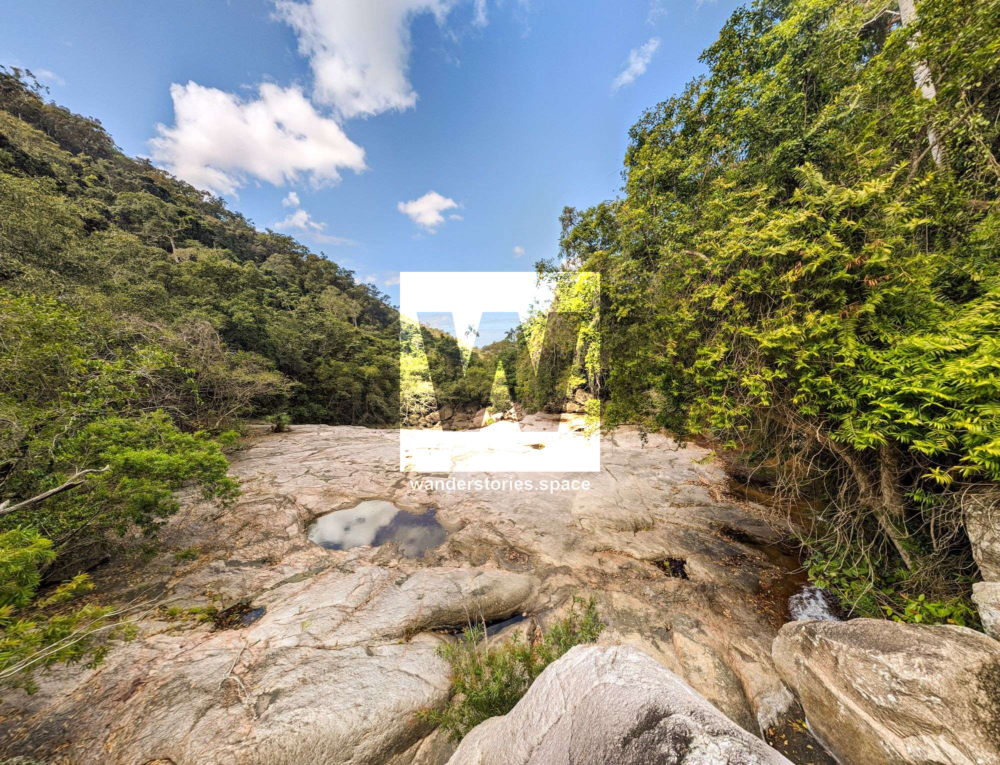
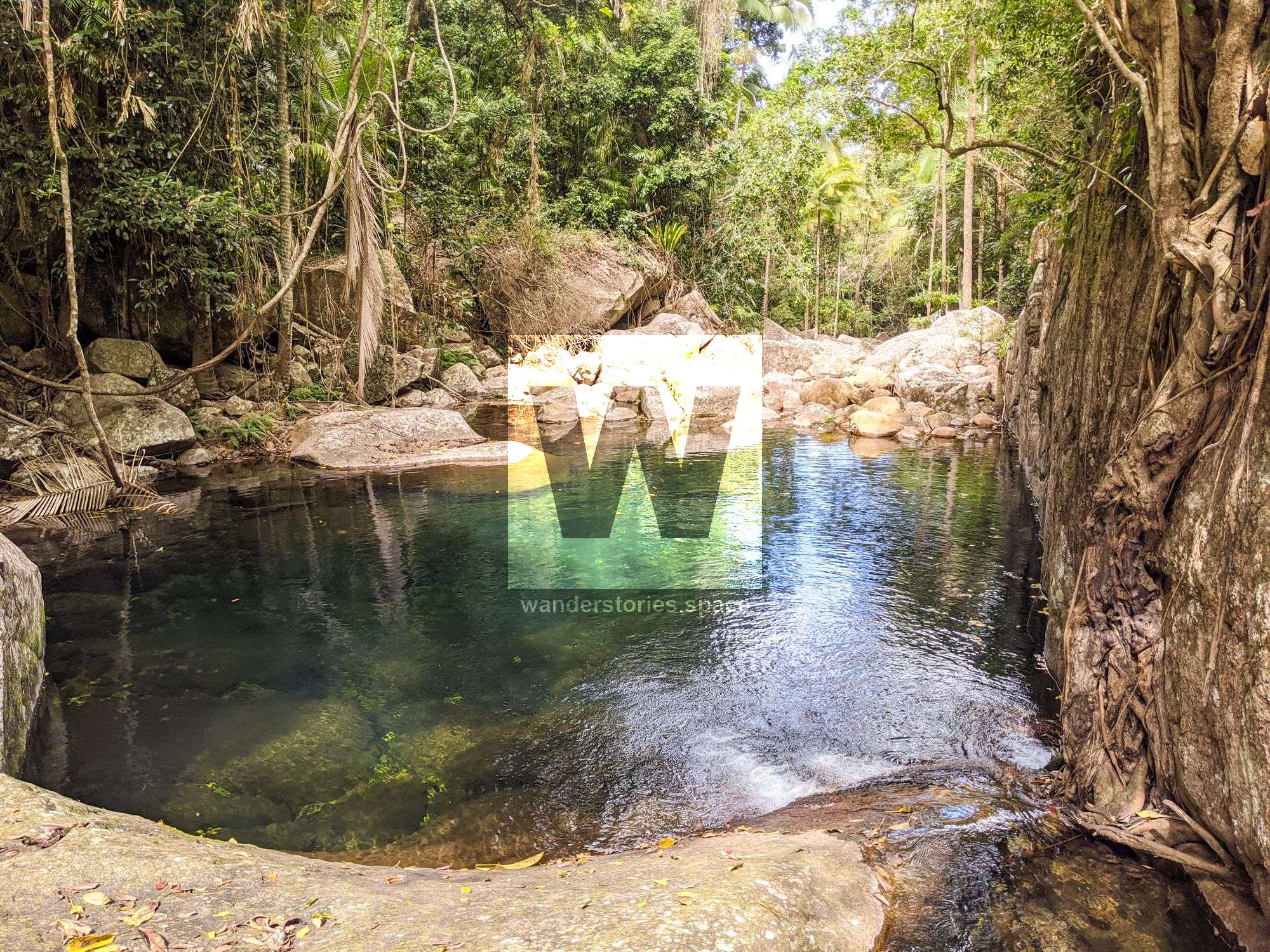
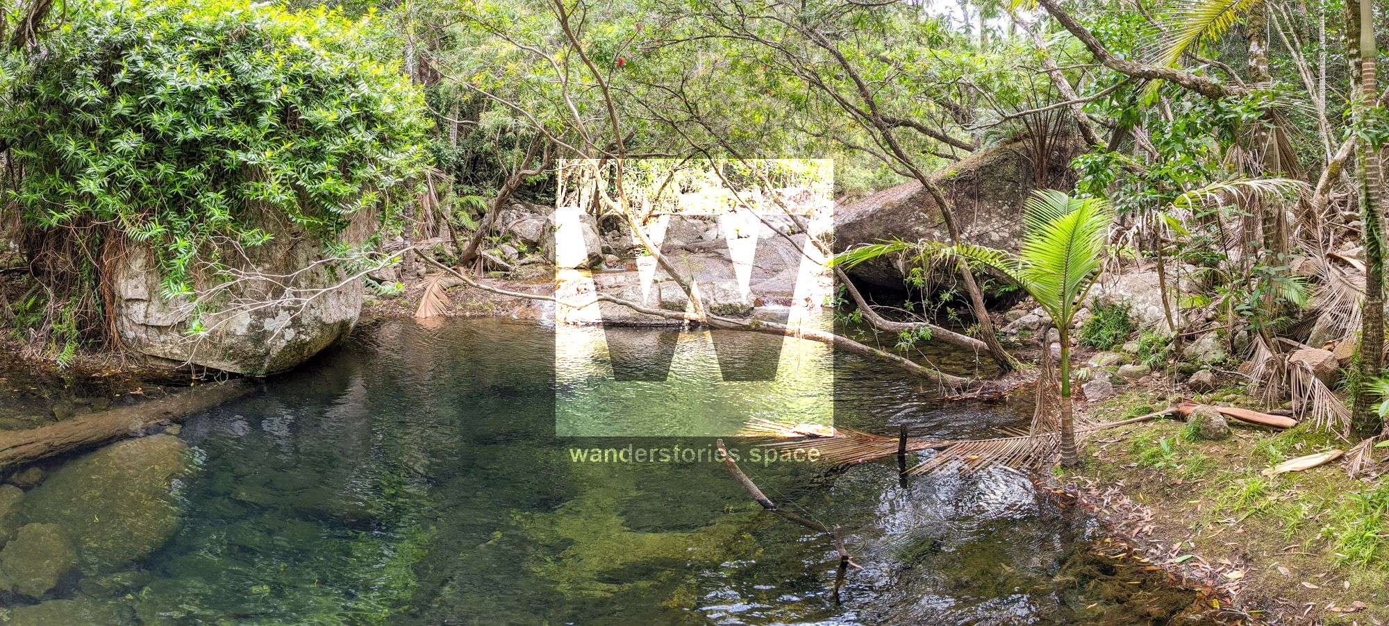
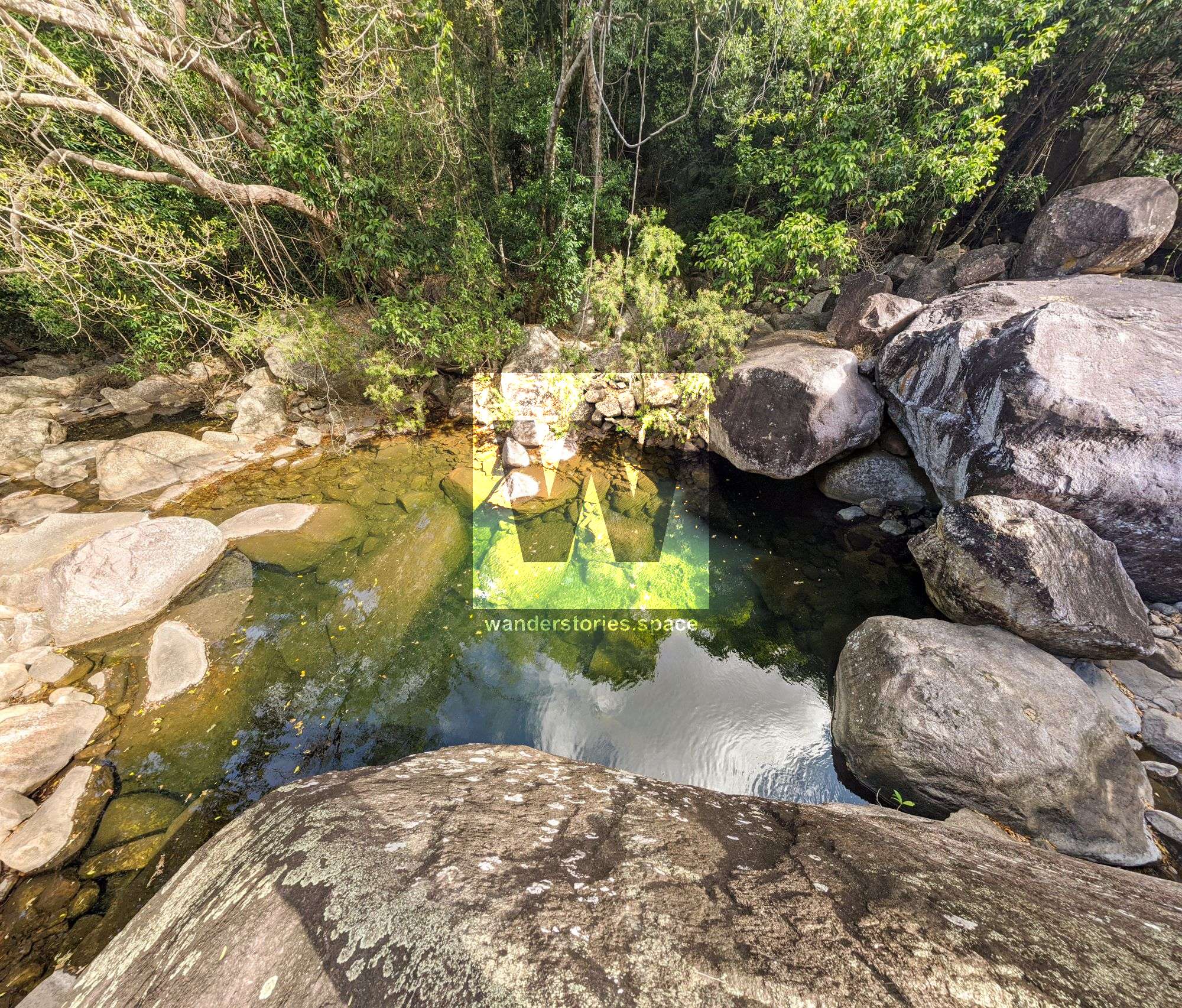
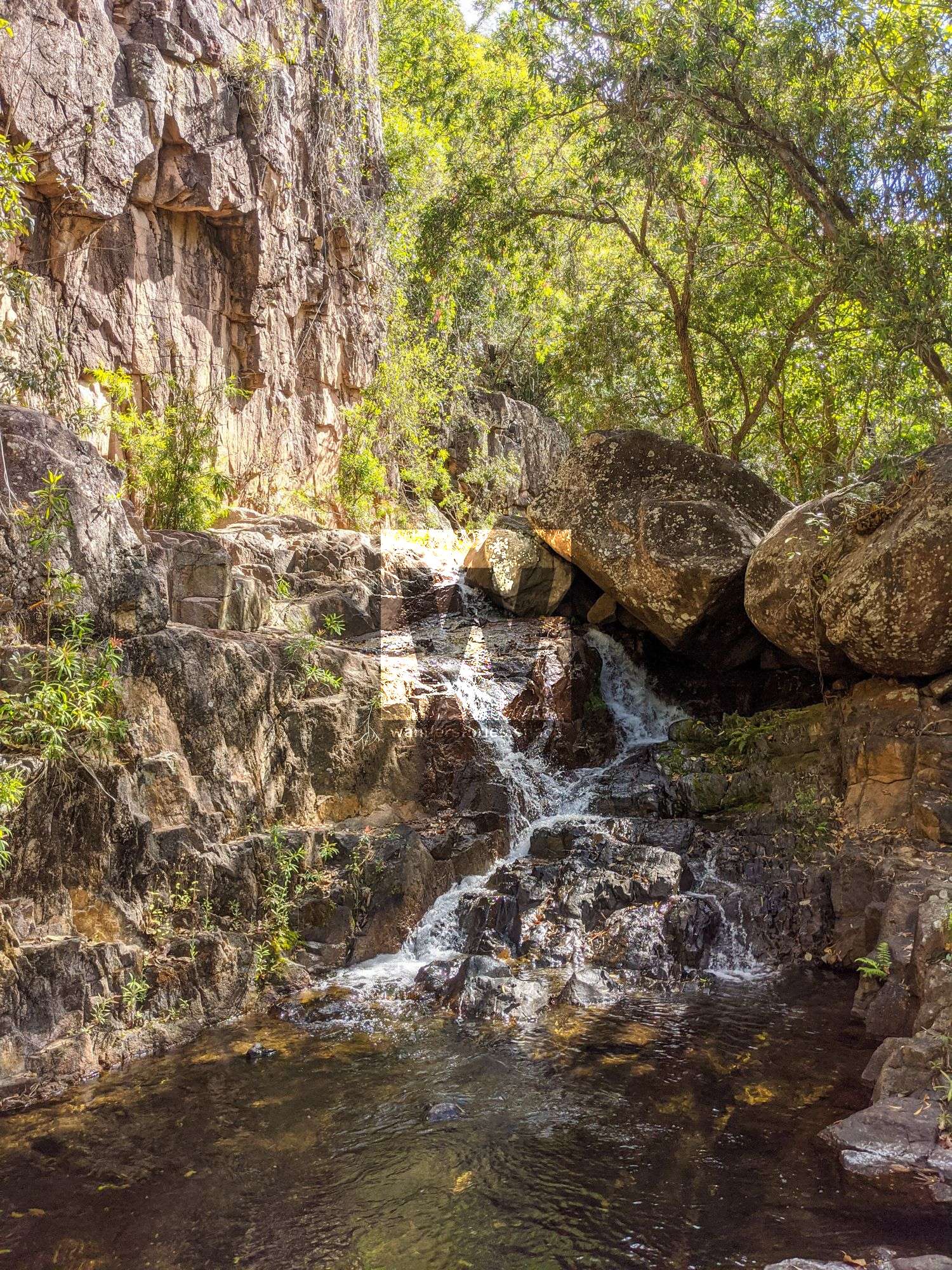
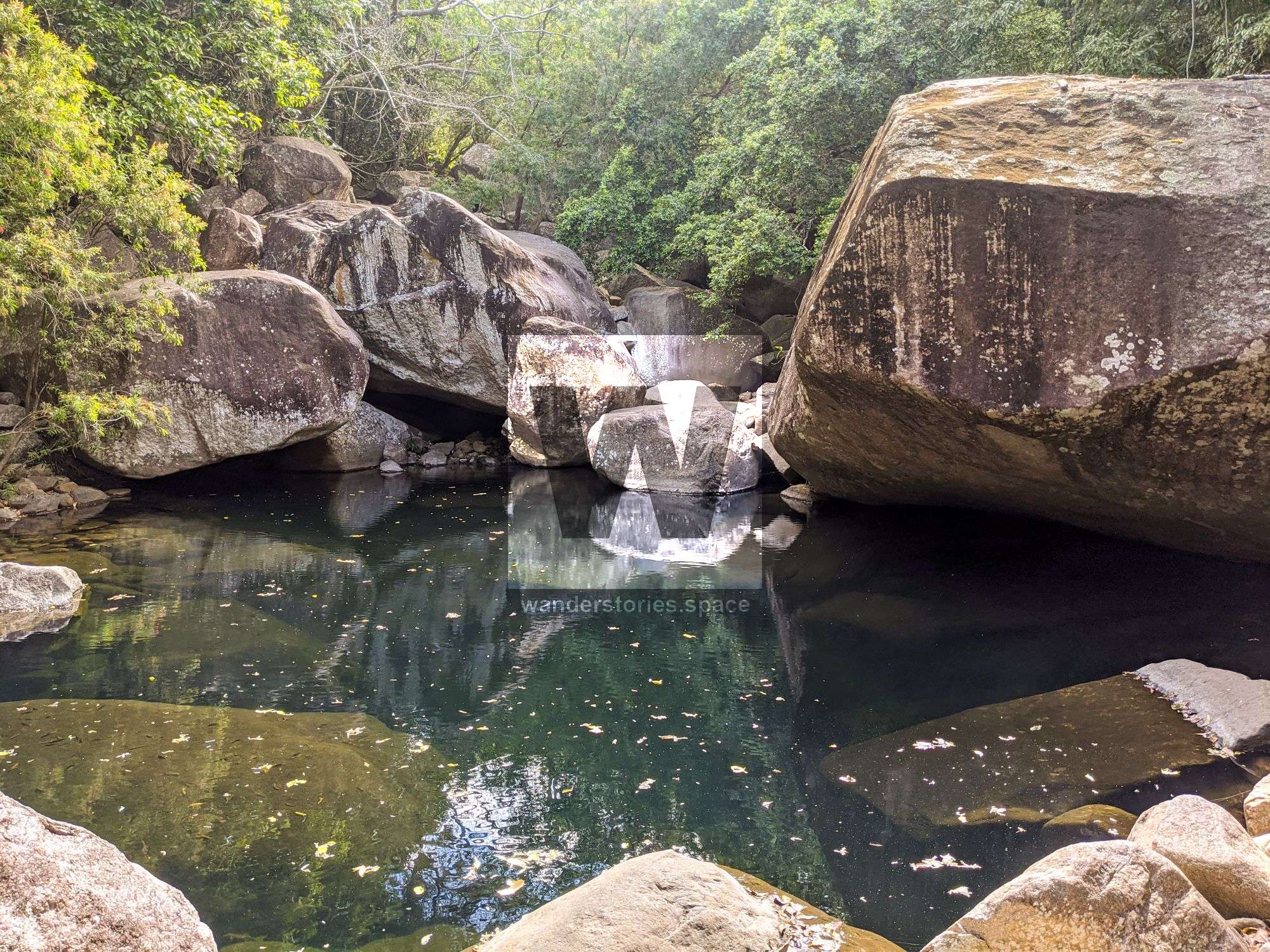
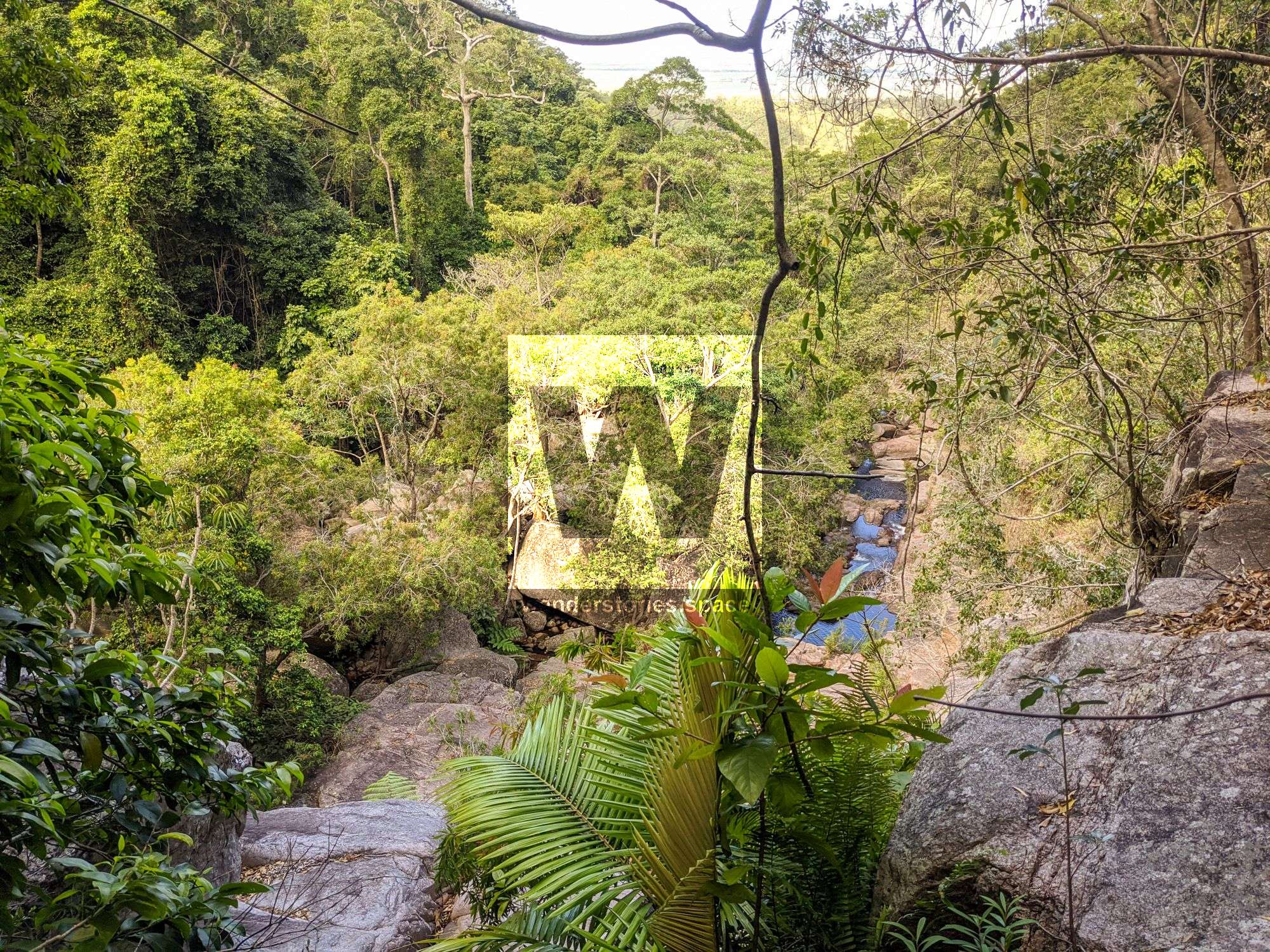
The lower section of Spring Creek has massive boulders, some seemingly as big as houses. There are also many small cascades along the way.
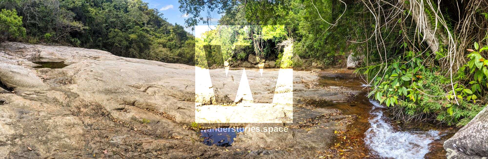
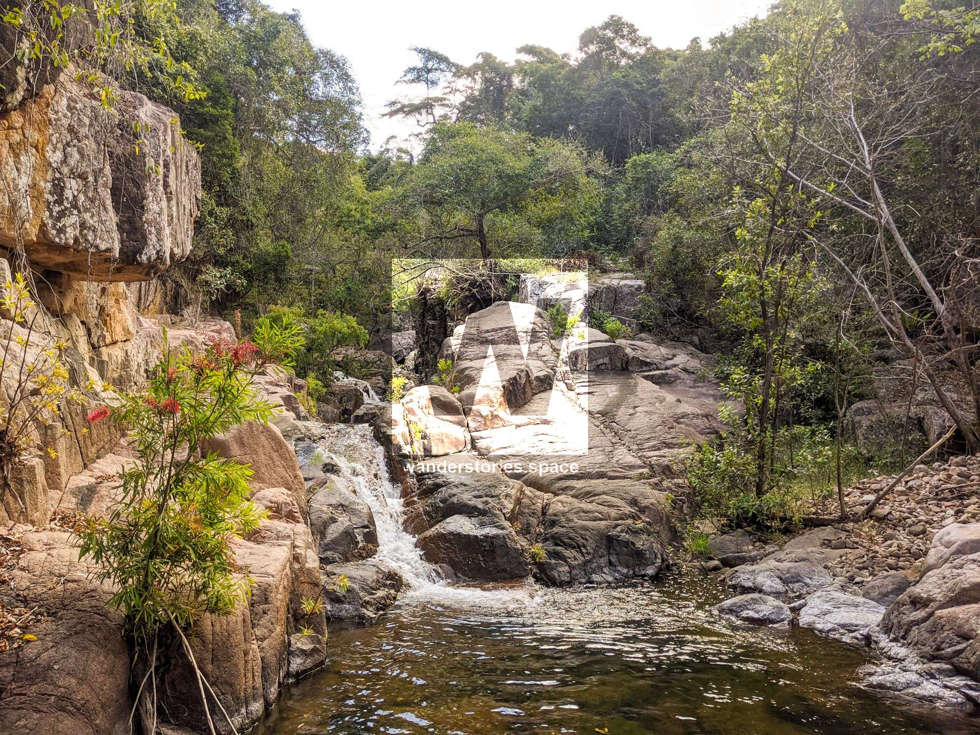
Midway up Spring Creek is, arguably, the highlight of the entire adventure. Here, you will find a large granite slab and water cascading along the slab's southside. What a sight this must be when there is full flow!
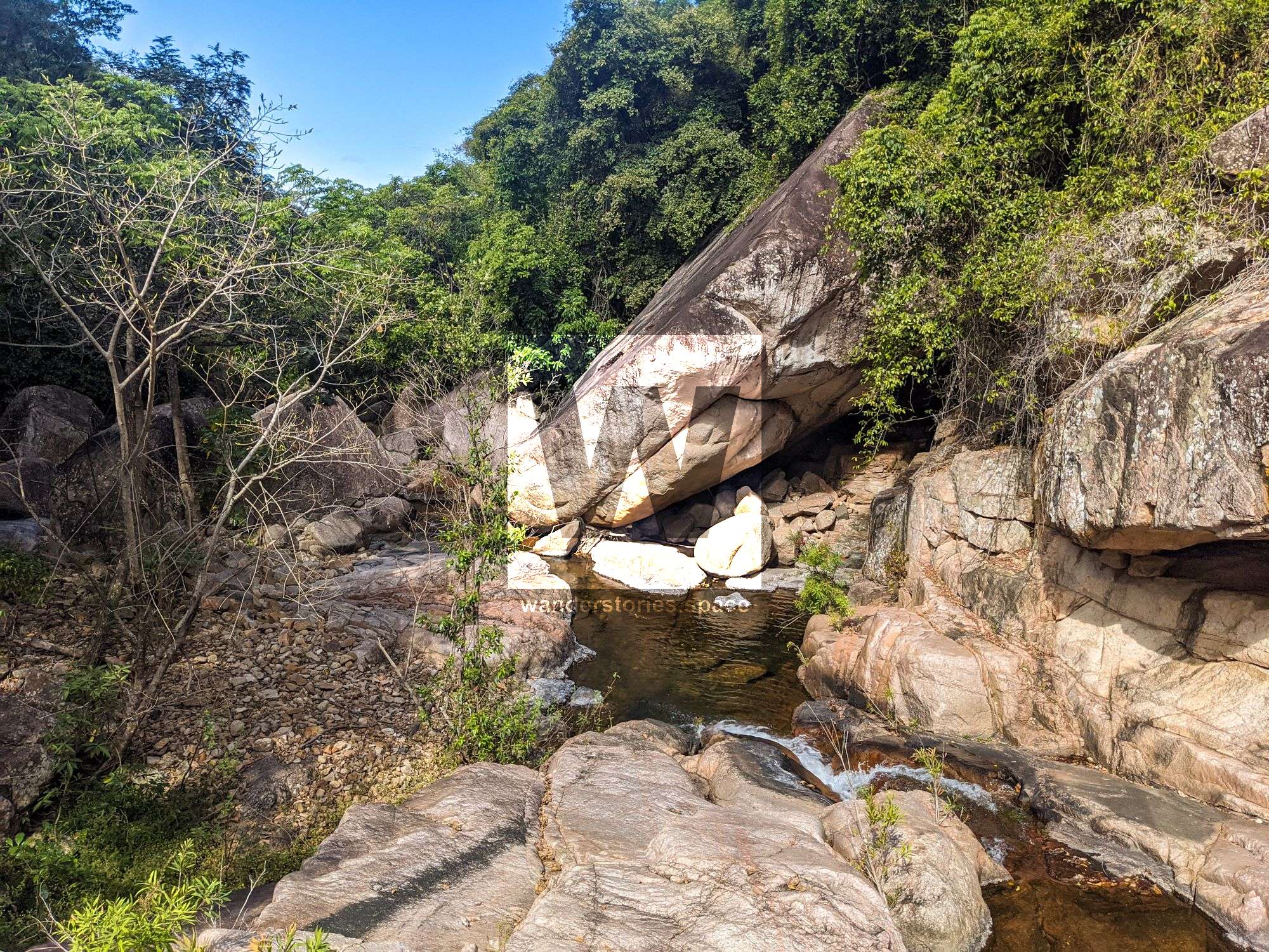
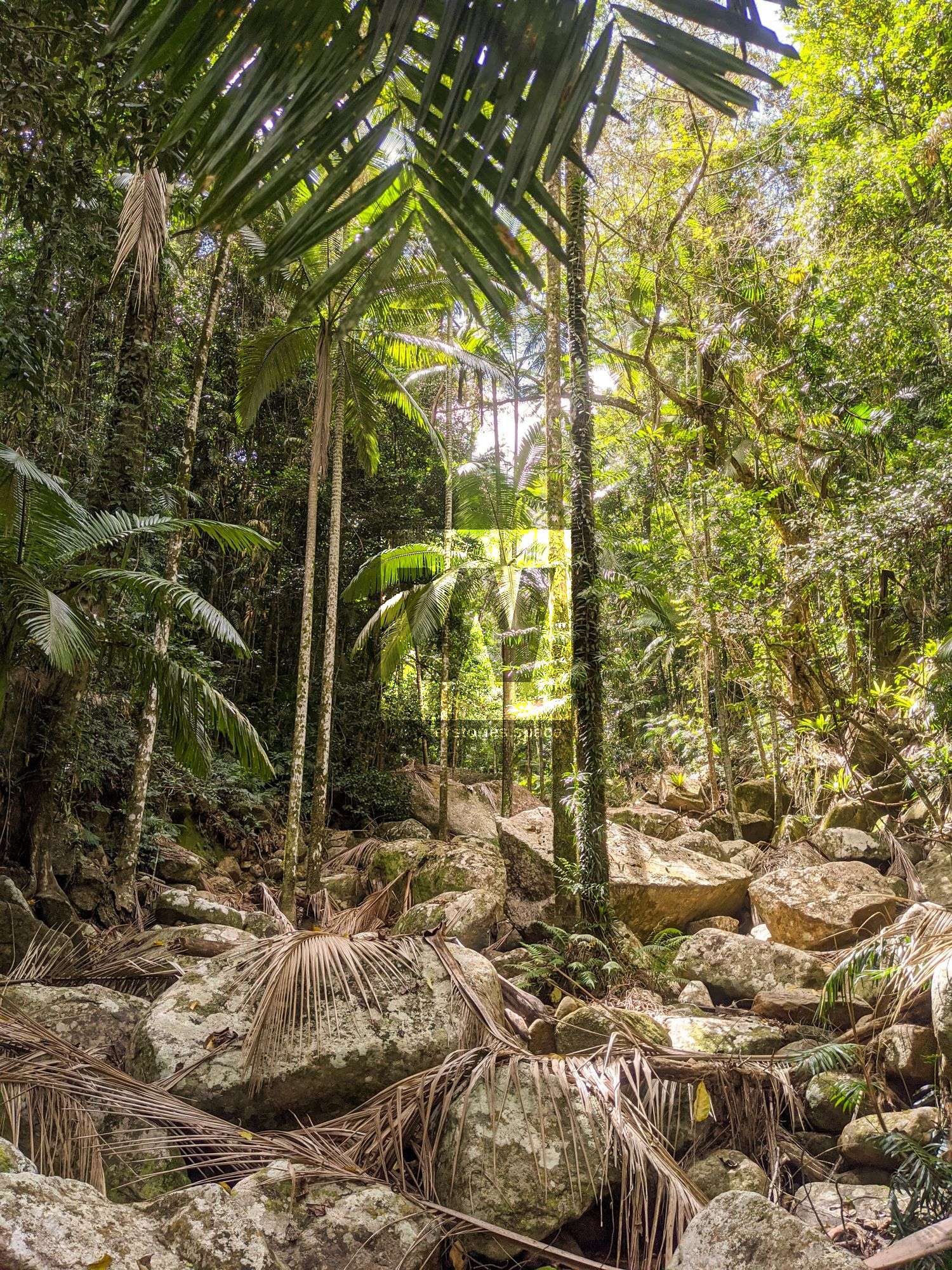
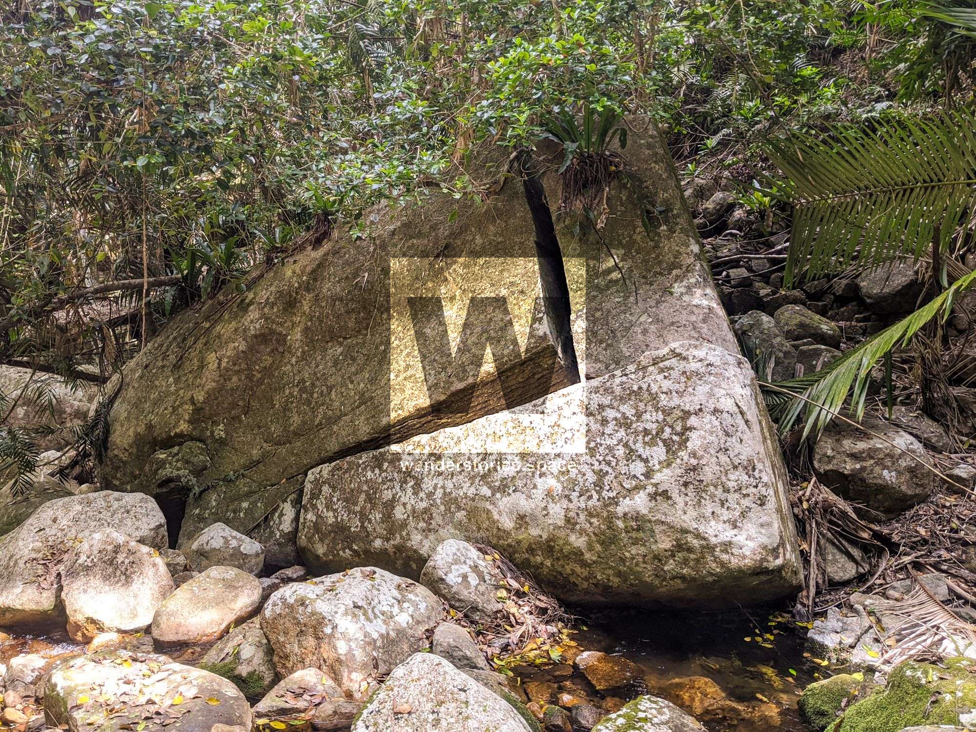
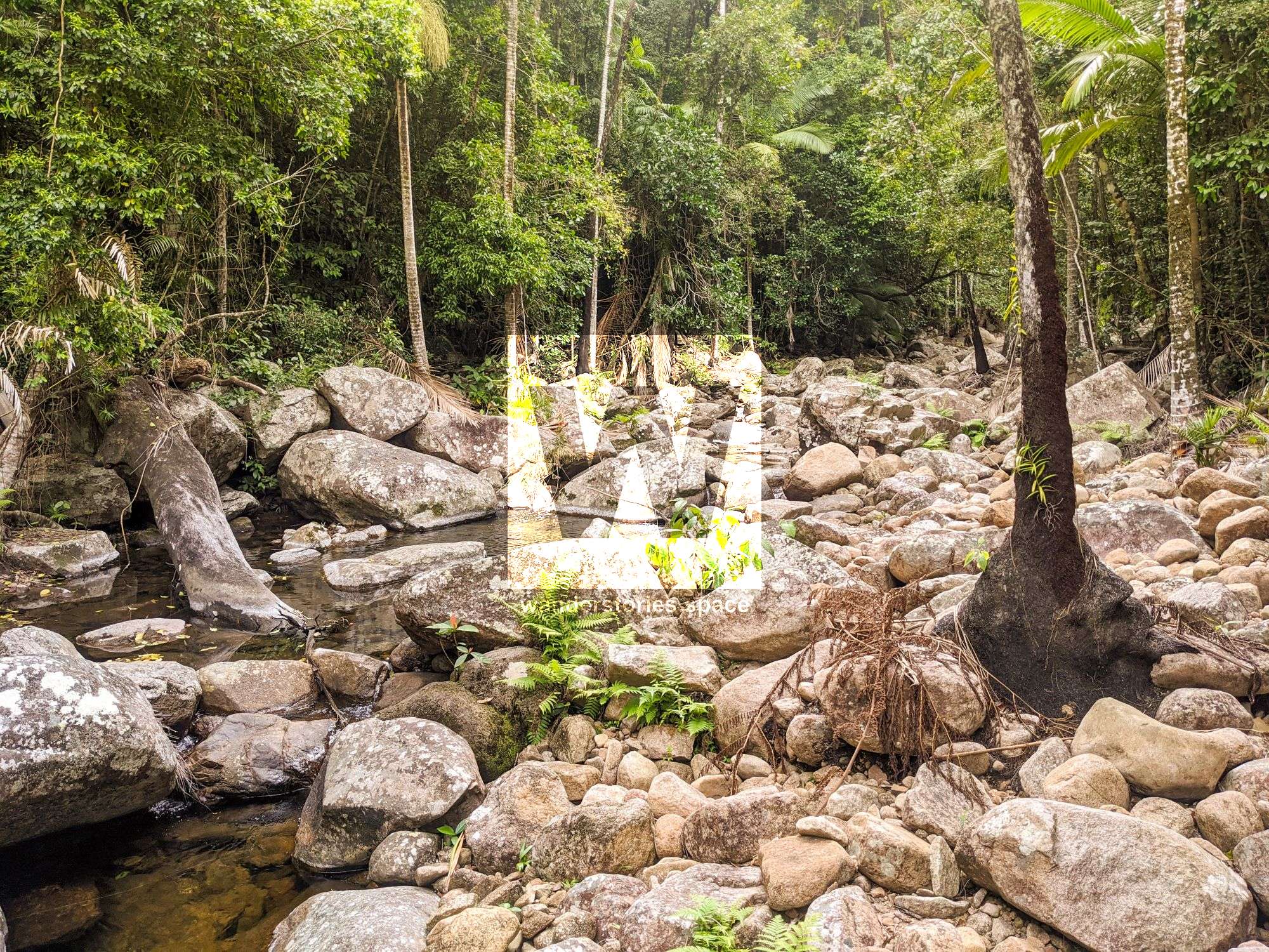
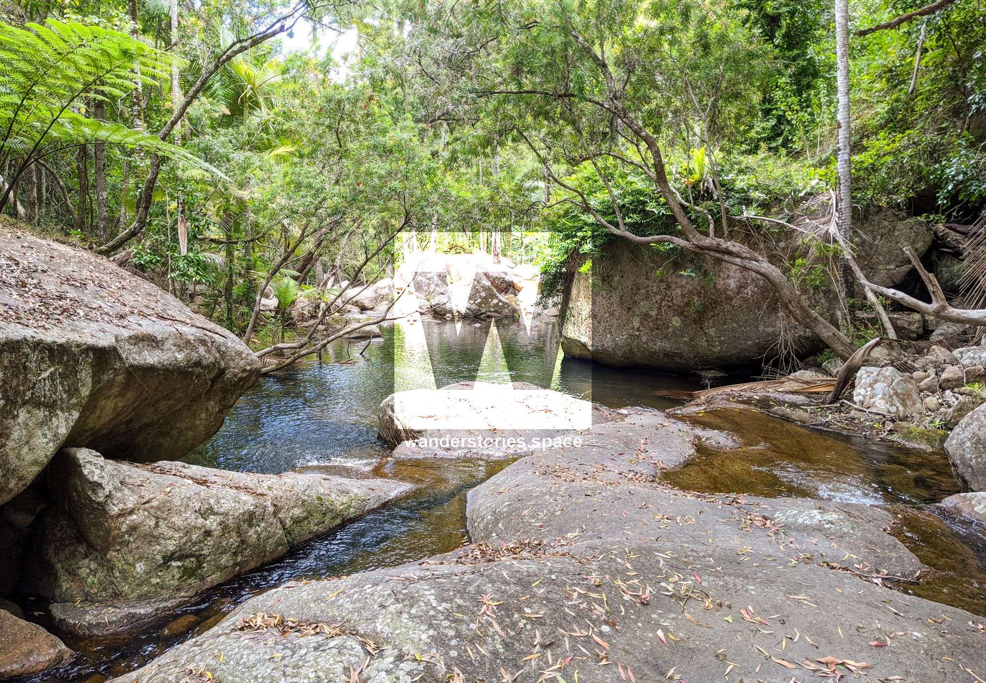
The upper reaches of Spring Creek consists of smaller boulders, and at this point, the rock hopping becomes much easier. Just be mindful that the lichens that cover most of the rocks can be quite slippery.
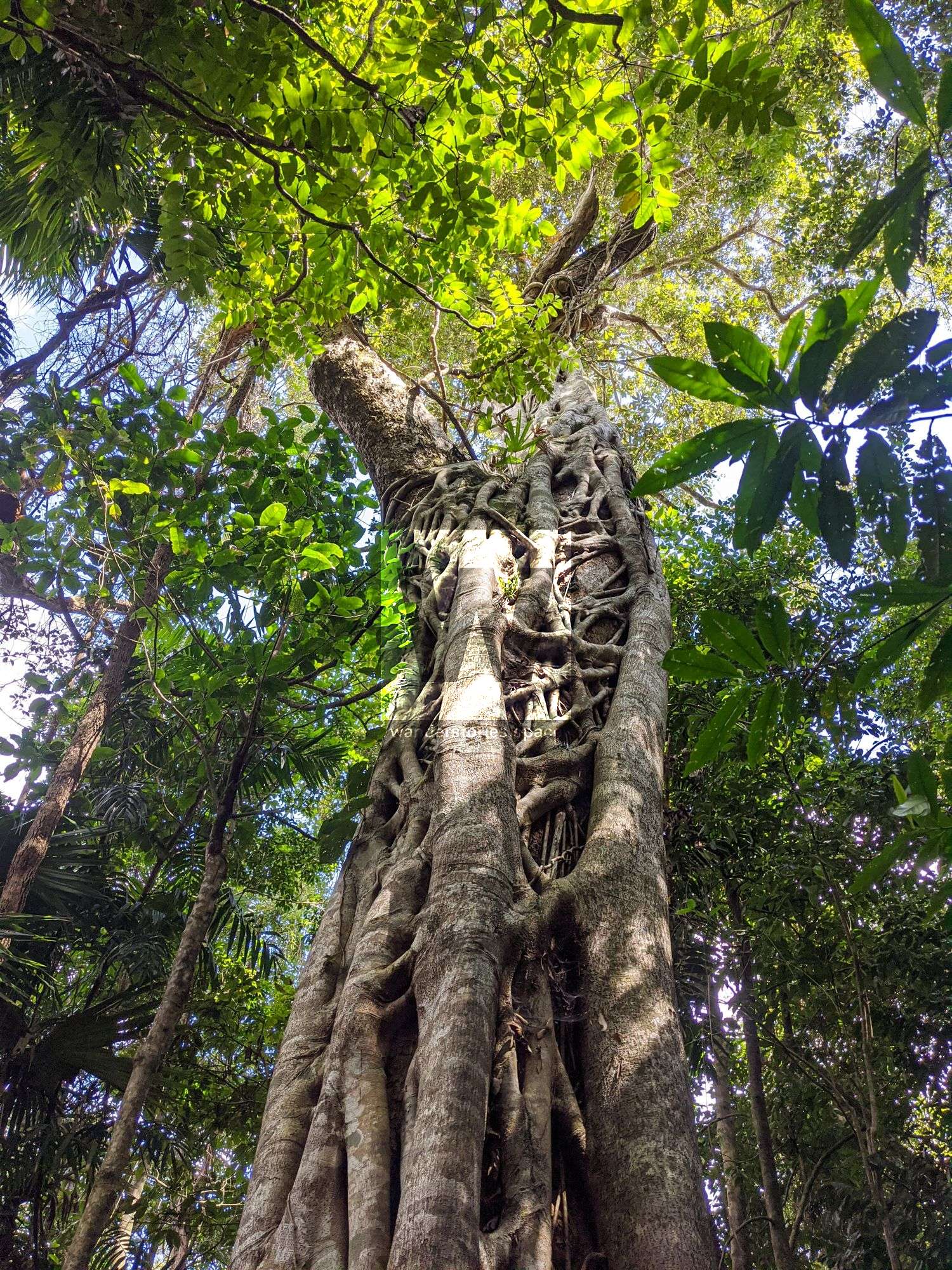
The Shoulder (1,022 m)
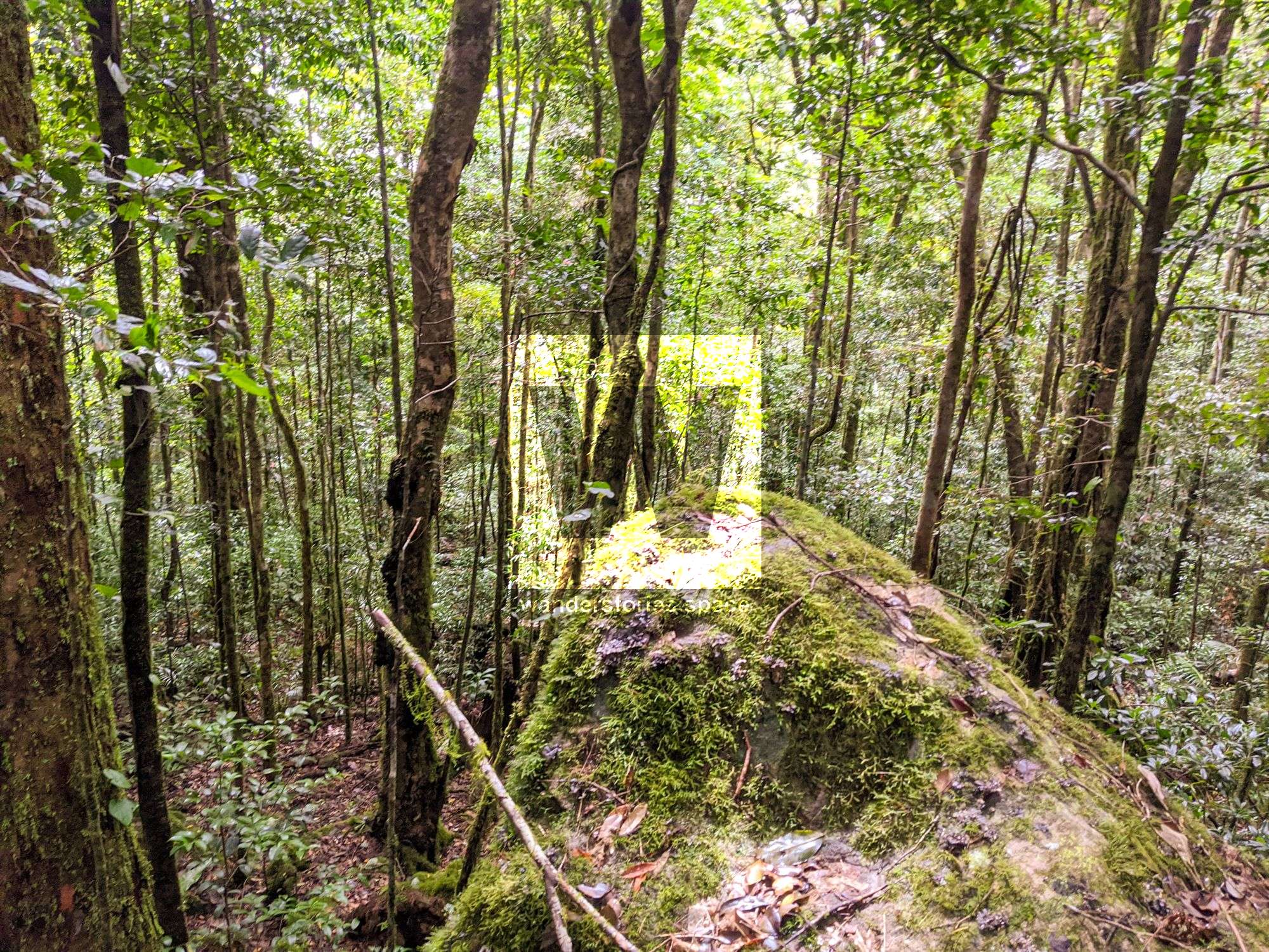
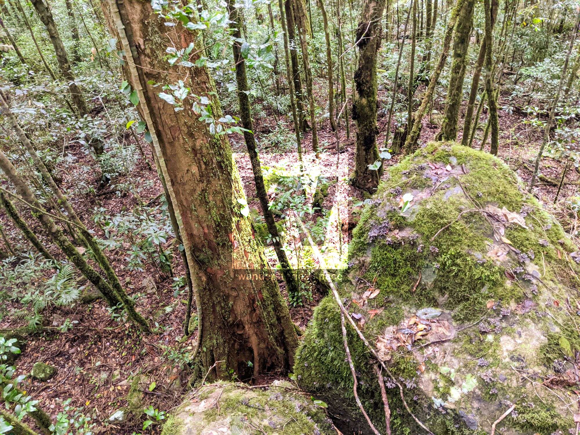
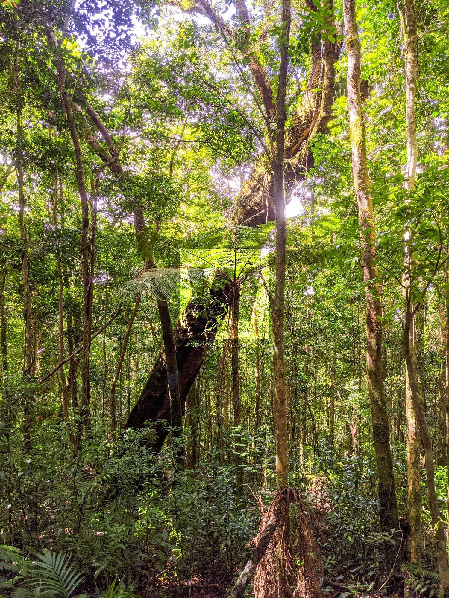
Pristine rainforest surrounds the approach to the summit, and vibrant apricot satinash (Syzygium fibrosum) are scattered throughout the area. Based on the pristine state of the vegetation, it seems as though The Shoulder was perhaps more protected from past cyclones than its nearby neighbours, Mount Elliot and Sharp Elliot. Indeed, the untouched rainforest at the summit makes for one of the best rainforest summits in the entire area. However, if you are expecting a view, you may be disappointed.

Do expect cooler temperatures toward the summit, however, especially if you are hiking on a particularly overcast day or it is misting or drizzling.
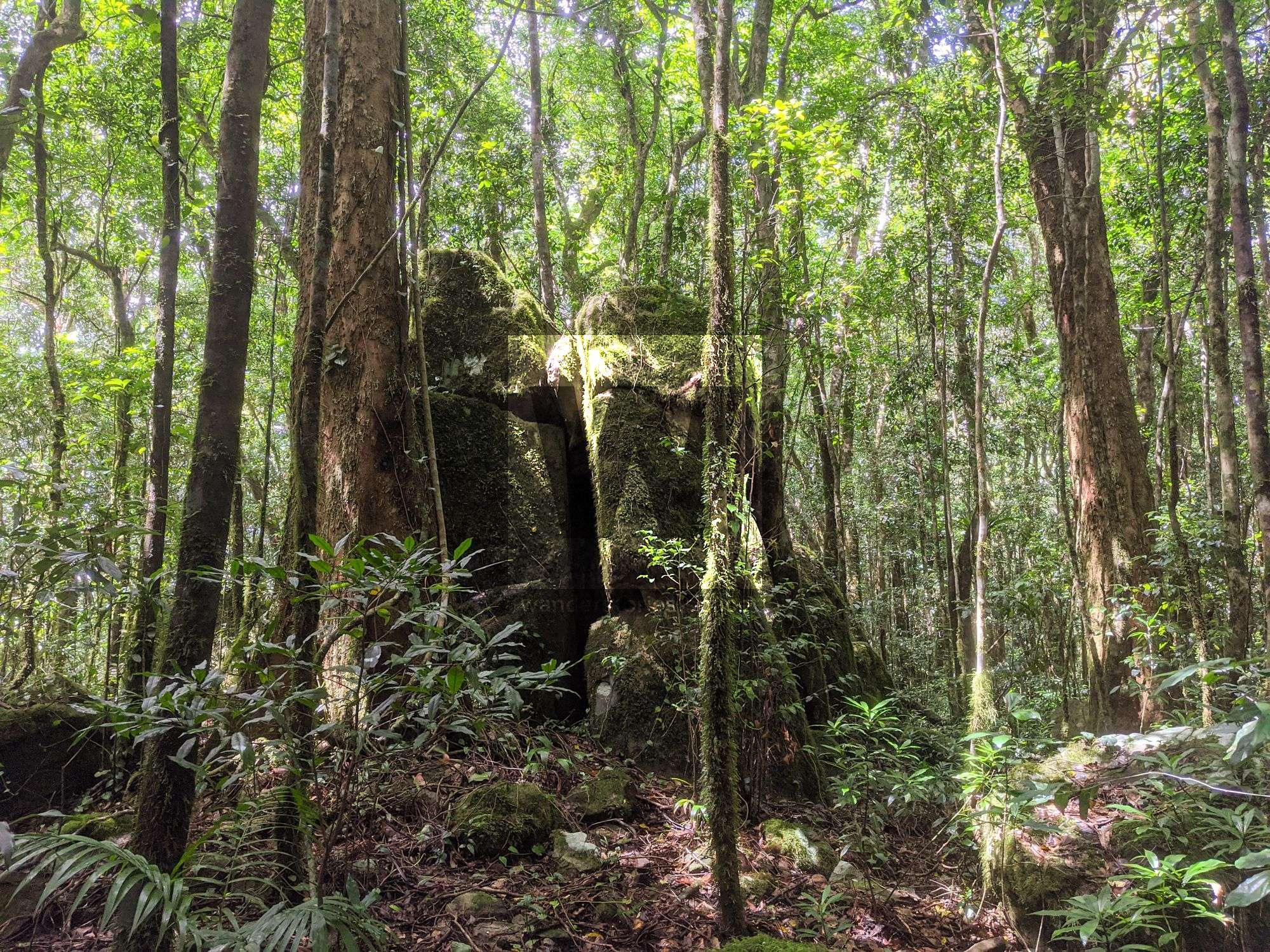
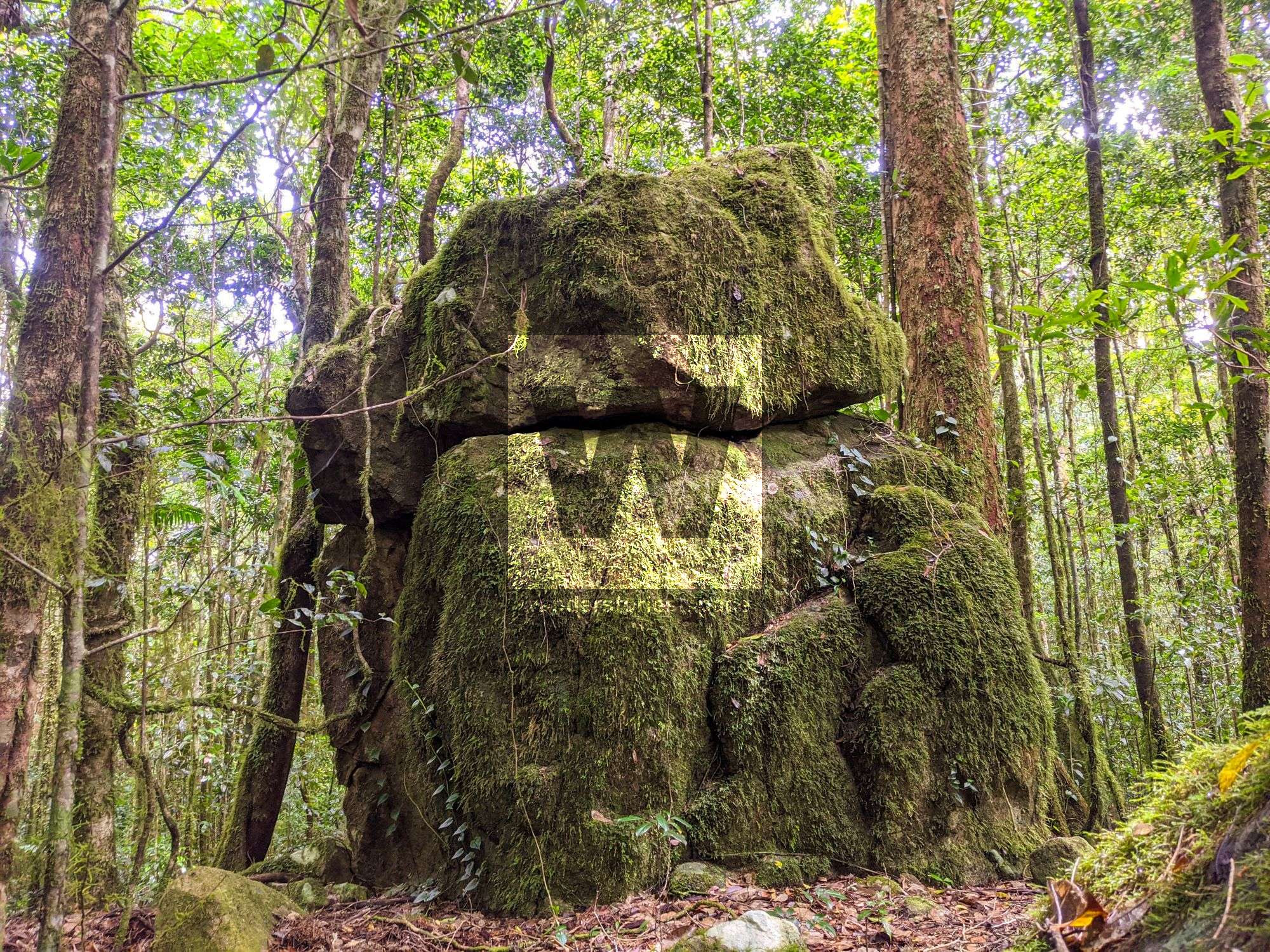
A cluster of mossy rocks marks the true summit. A fairly easy climb is required if you want to get to the very top.
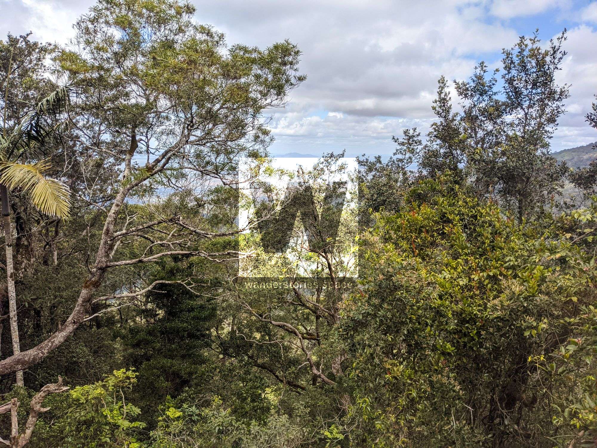
If you are desperate for views along the way, there are a couple of small rocky outcrops that may provide a peek at the surrounding landscape below. Keep an eye out for them.
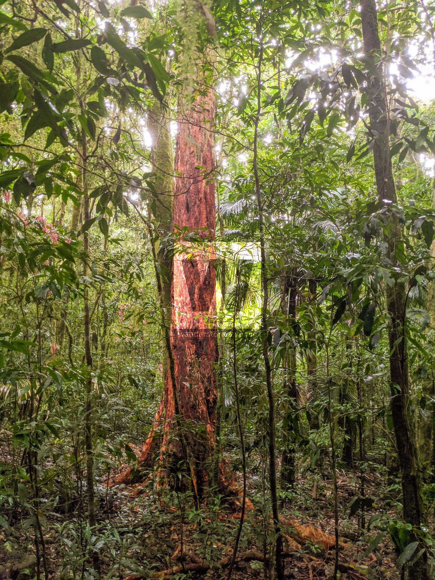
In addition to the dense rainforest vegetation with plenty of bramble, barbed wire vines, and lawyer cane to navigate, there is evidence of other wildlife, including boars (wild pigs); their tracks make for short-lived highways through the rainforest. Gimpie Gimpie (stinging tree) is also found in the area.