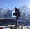
Hiking Mount Halifax
Mount Halifax is the highest (1,063 metres) and most prominent peak north of Townsville on mainland Australia until you reach the Tully area. Summiting Mount Halifax is strenuous, and you will need to be fit to do it. However, it is definitely worthwhile.


Location - Paluma Range National Park, Queensland, Australia
Distance - Approximately 11 kilometres return (over 1,000 metres ascent & descent)
Time - Approximately 5 to 10 hours return, depending on fitness and breaks
Grade - Grade 5, difficult and strenuous
Mount Halifax is the highest (1,063 metres) and most prominent peak north of Townsville on mainland Australia, at least until you reach the Tully area. This is the mountain that rises up behind the pineapple farms, the one that you can see while driving along the Bruce Highway. You can also see Mount Halifax from Castle Hill in Townsville. The only higher peaks on mainland Australia around the Townsville area are to the south within the Mount Elliot range.
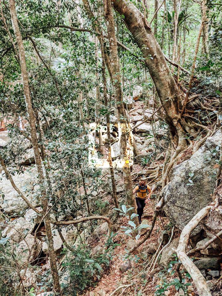
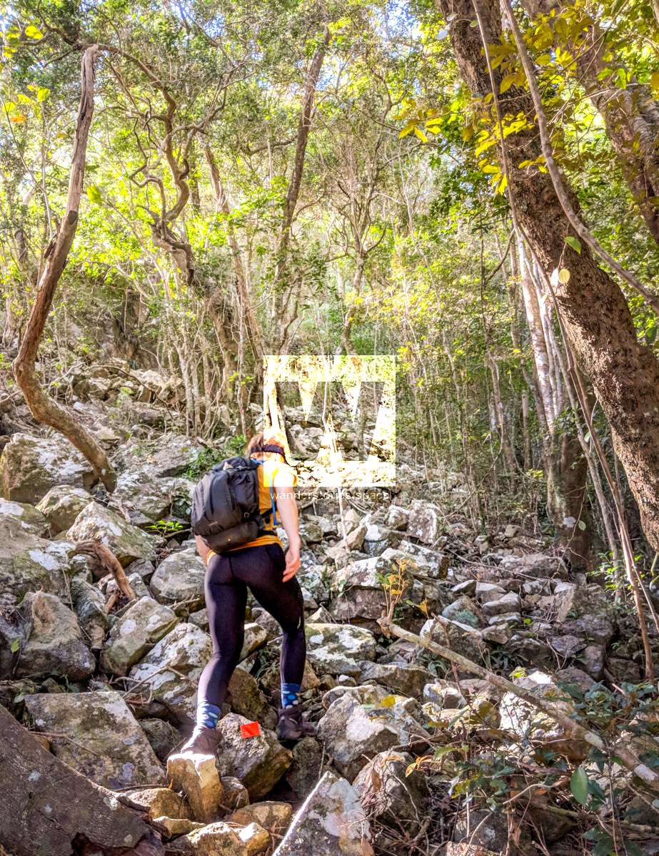
Summiting Mount Halifax is strenuous; you will need to be fit to climb up some of the steep hill sections. The bush track is rough and uneven underfoot. A little bit of rock hopping is also involved. So, you need to have adequate technical skills and good foot placement. The route is generally well-marked with orange and yellow metal reflective markers as well as pink flagging tape. However, sometimes you will encounter just a marked route with seemingly no defined track. Or, while in the creek rock hopping, you may not be focussing as much on the markers. The trail can be rough and, in some places, difficult to discern without the markers. So, ensure you always keep the markers in sight.
Note: There are no facilities. Park outside the gate, far off the road and do not block the gate! Also, the local dog, Dutchie, may follow you on your adventure.
It is recommended to start early (e.g., 7 am) for this hike. From Pace Road, allow 4 to 6 hours to reach the Halifax summit, depending on your fitness. If you are super fit and take minimal breaks, you can do it in under 5 hours, return. The FKT (Fastest Known Time) and current record to the summit is 1 hour 10 minutes and the FKT return (ascent and descent) is 2 hours and 14 minutes. Perhaps take the challenge! However, for the trail runners and hikers alike, the killer truly is the swift elevation gain. Mount Halifax is still waiting for a sub-one-hour ascent. Mt Halifax might even qualify as a sky run.
Starting early is important so that you ensure you have enough daylight to return to the finish point. We suggest that if you have not reached the summit by midday, turn around and descend. There is a sign-in logbook at the start of the walk with detailed mud maps in the box. Please ensure you return the mud map at end of your walk. The upper parts of the route do have mobile phone reception, but you should be prepared just in case. While the marked trail is a privately developed and maintained trail, it is still rough in comparison to Queensland Department of National Parks standards. But, this may change in the near future, as National Parks have taken onboard some of the Paluma Tracks, including this one.
Interactive Map
Here's an interactive map of the track from Pace Road to the summit of Mount Halifax. Note that you can also continue on to Godwin's Peak or to the PRB track.
Download the Mount Halifax GPX file
Download the Mount Halifax KML file
Download National Park's Mount Halifax map
Download Mount Halifax Trail Map on QTopo
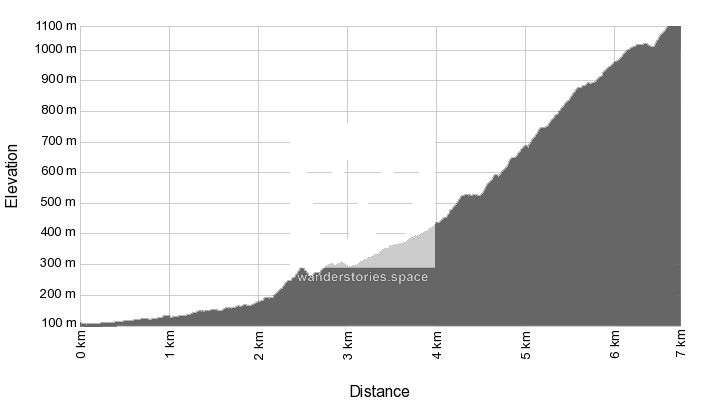
Mount Halifax Elevation Plot/Profile
Track details and the brief history
The Mount Halifax track was built in the 2000s from Pace Road to the summit by some Vietnam veterans, including Trevor Cheeseman, Dave Dunk, and Stan Redman. This team of three calls themselves "The Spartan Trekkers". They finished building the track in 2006 so that they could train for the Kokoda Track in April 2007. Then, the track that now connects Mount Halifax with Godwin's Peak was started August 2016, and finally, the clearing and marking were completed September 2019.
Today, the route to Mount Halifax is approximately 11 kilometres return and includes a 1,000-metre ascent and then, of course, 1,000 metres in descent as well. Maintenance is still an ongoing process, so please consider taking secateurs to help keep these trails open (don't do this within National Park).
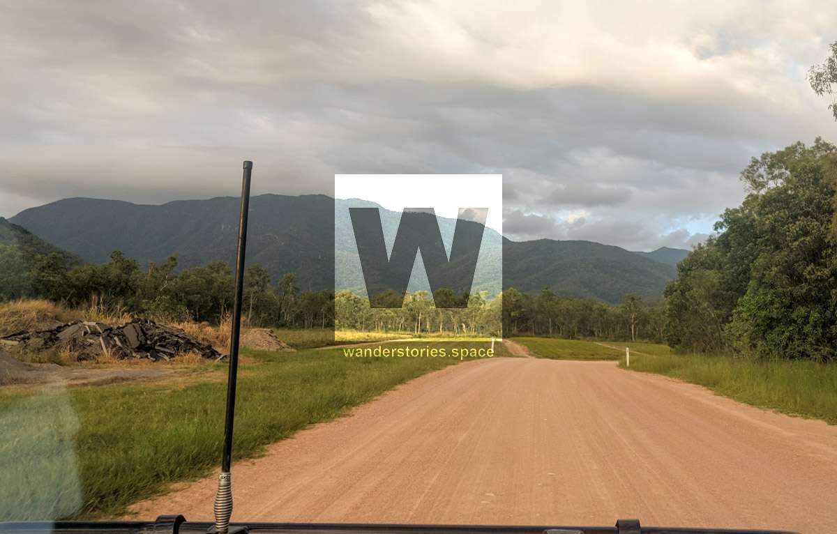
If you are driving north from Townsville, turn left onto Pace Road just before you reach the Rollingstone bridge. Drive until you reach the logbook sign-in point for the start of the track. This is where the road ends, and you can park your car here, along the roadside before Pace's gate. Vehicles are not to proceed through Pace's gate, however, as it is private property. Please also note that heavy machinery and wide loads use the road every day. Please park your vehicle far off the road and do not block the gate.
The Mount Halifax Track is not on private property and is a registered walk on the Queensland Parks and Wildlife Service website and therefore in no danger of closure. As long as we stick to the track and behave responsibly, we should keep the peace with the Pace families adjacent to the park.
The Pace family have been and continue to be extremely generous in keeping their gate open so that visitors can enjoy this area. Please be considerate and respectful of this property so that the Pace family feels that they can always maintain this privilege for us.
Pace's gate is the starting point and is at an elevation of 92 metres.
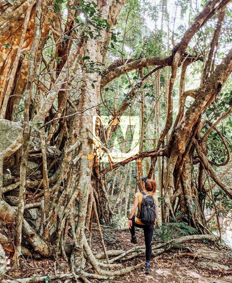
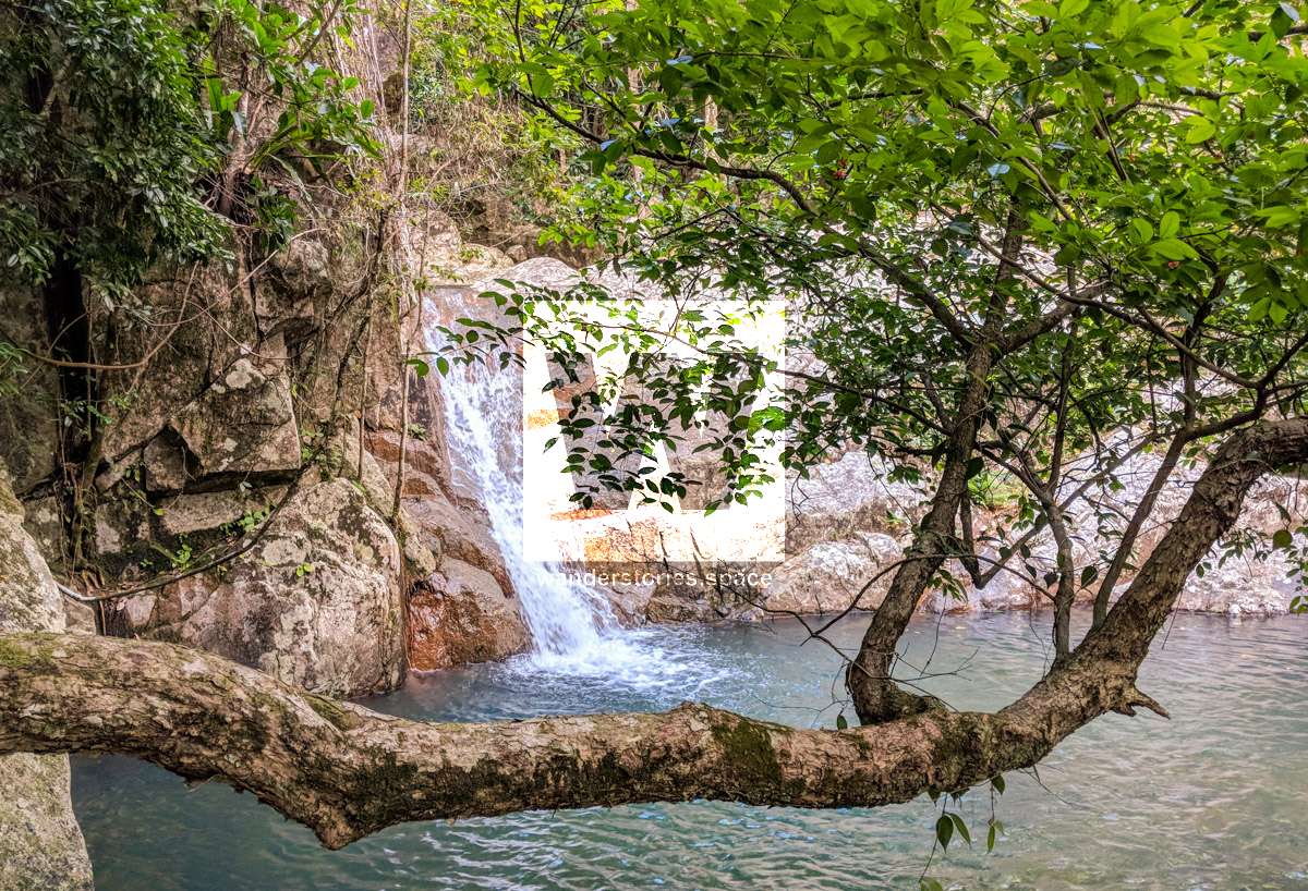
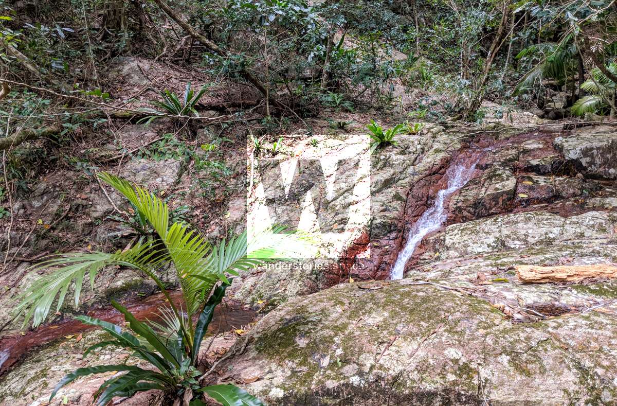
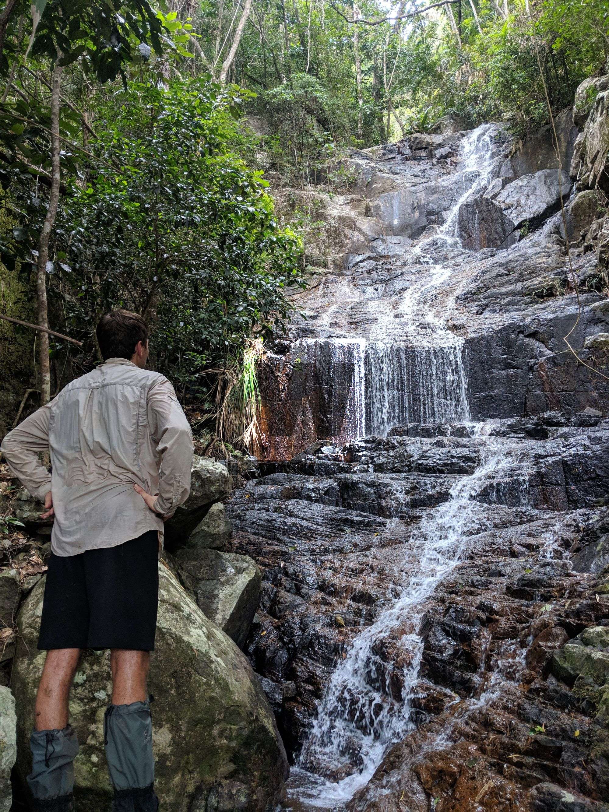
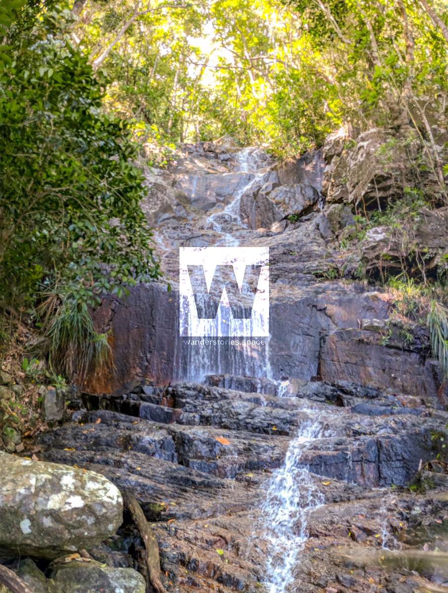
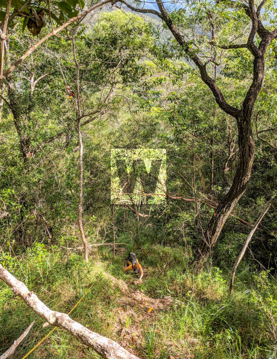
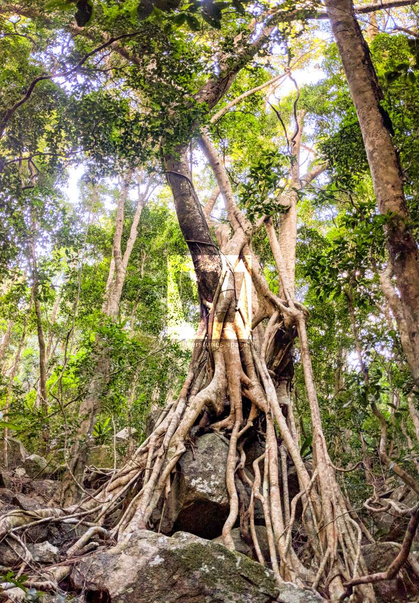
Much of the bushwalk at the lower altitudes is in or alongside a rocky and boulder-strewn jungle creek. Along the way, there are some small gorges, waterfalls, and cascades. However, during some parts of the year, there may not be any flowing water in the creek at all. The vegetation will change dramatically along the walk as you gain altitude, spanning woodland, rainforest, she-oak trees, grass trees, bottlebrush plants on exposed ridges, and then you will climb up narrow, rocky ridgelines to reach rainforest vegetation at the top.
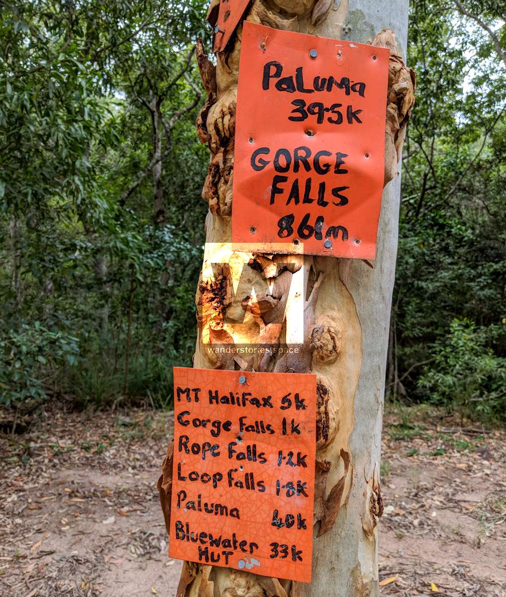
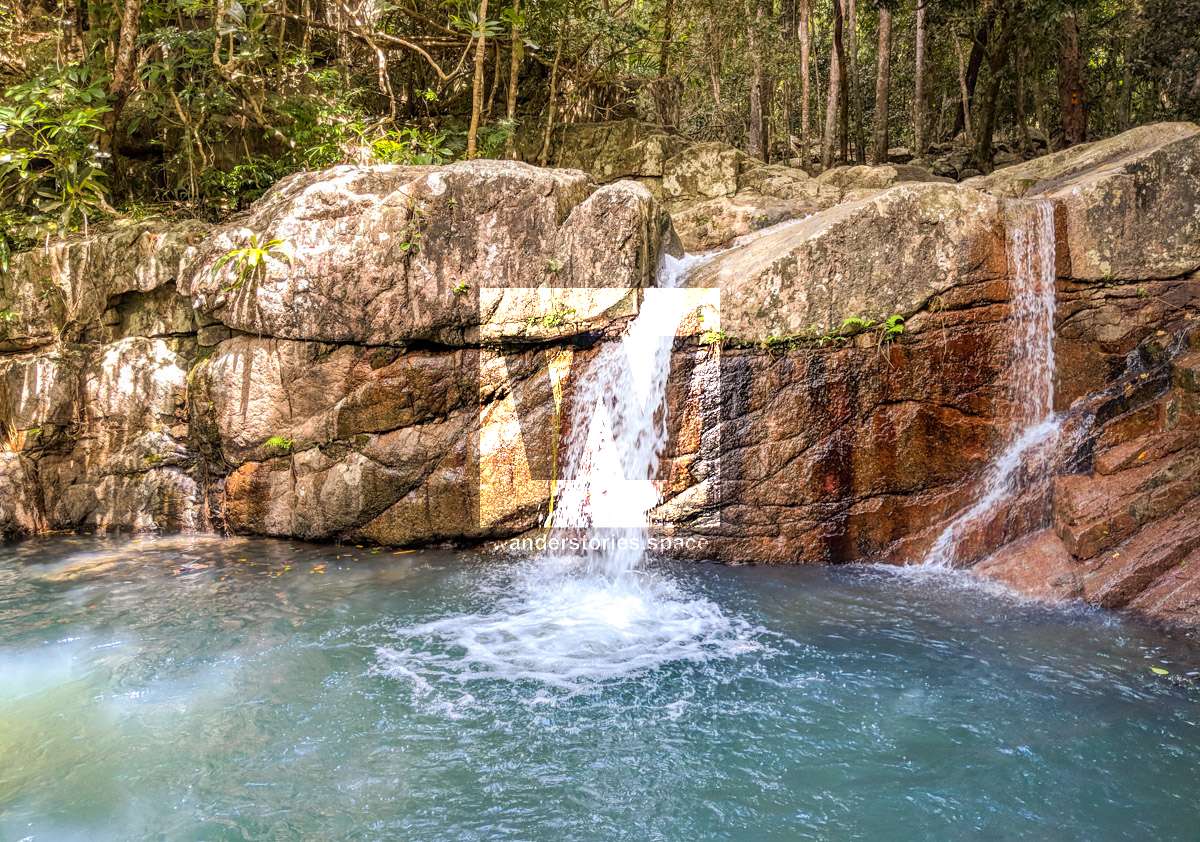
From Pace's gate to Gorge Falls (elevation 171 metres) is 1.4 kilometres and will be about a 30 minute, cross country, easy walk. Gorge Falls has a pool that, when water is flowing, is great for swimming. During the dry season, however, the water can be dark, rancid, and quite unsuitable.
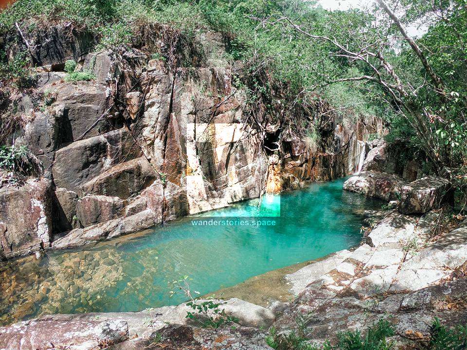
From Gorge Falls, it only takes 10 minutes or so to reach Rope Falls (elevation 174 metres). Again, during the rainy season and/or on the shoulders of the seasons, this can be a really nice pool for swimming. However, during the dry months, the pool can be quite dark and smelly. Climb up the right side of the rock face, and find a rope to assist you. The views are spectacular from here.
You can then head to Loop Falls as a short side trip or just proceed to Flat Rock.
Rope Falls to Loop Falls (elevation 261 metres) involves an undulating hike on a track that ascends the left side of the valley away from the creek. You will encounter a steep climb to reach Loop Falls. From here, you can descend back into the creek bed to reach Flat Rock. At this point, you will have been walking for approximately 1.5 to 2 hours from Pace's gate.
The ascent really commences now. From Flat Rock, you will head to Camp 1 (altitude 510 metres). This is a very steep section that will require at least 30-40 minutes to ascend. Along the way, you will climb up Rocky Creek. Rock hop up the creek and then head away from the creek to the left side onto the ridgeline. You will then ascend up a very steep scree slope with loose rocks. Look for the rope that is in place to assist you here. Once you reach the top of the rock slide, you will encounter a loose dirt surface. You are now about halfway to Camp 1, but this is where the climb steepens even more. Again, look for another rope that is in place to assist you. After another 25 minutes or so, you will arrive at Camp 1.
There is a side trip from here if you veer 125 metres to the right that leads to Bridal Falls. This is the last water point on the ascent to Mount Halifax, and so definitely take the opportunity to refill your water containers. Take a moment to enjoy this pretty waterfall as well!
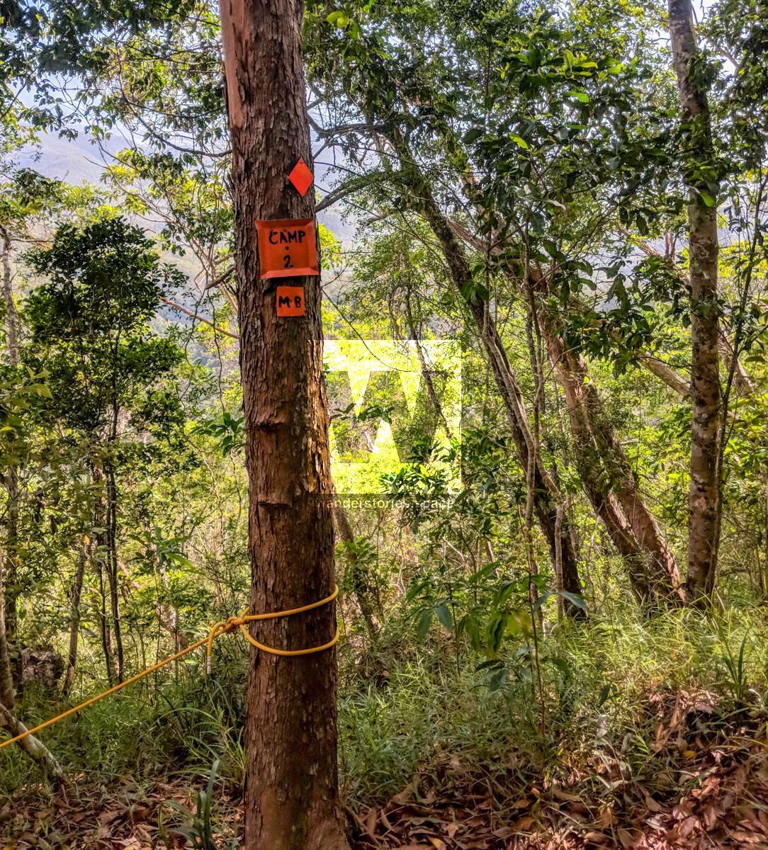
From Camp 1 to Camp 2 (altitude 639 metres), you will encounter more, very steep climbing. Allow at least 30-40 minutes, and expect an 87% gradient at one point!
Then, from Camp 2 to Camp 3 (altitude 743 metres), you guessed it, expect more, very steep climbing. Allow at least 30-40 minutes for this section.
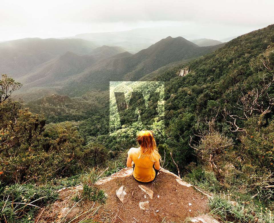
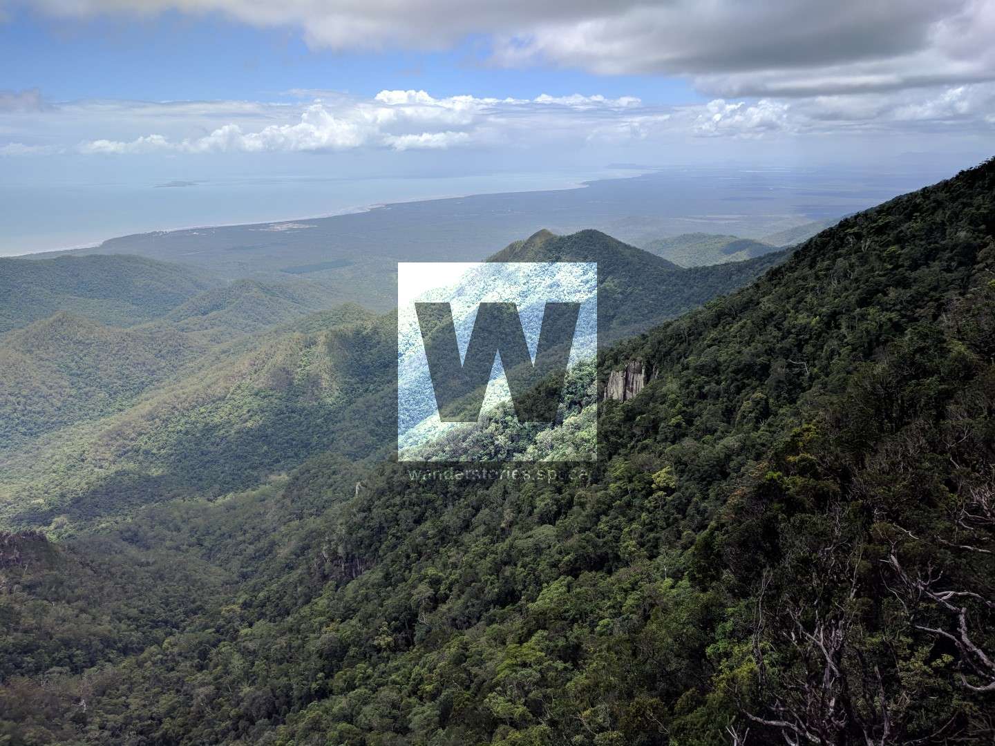
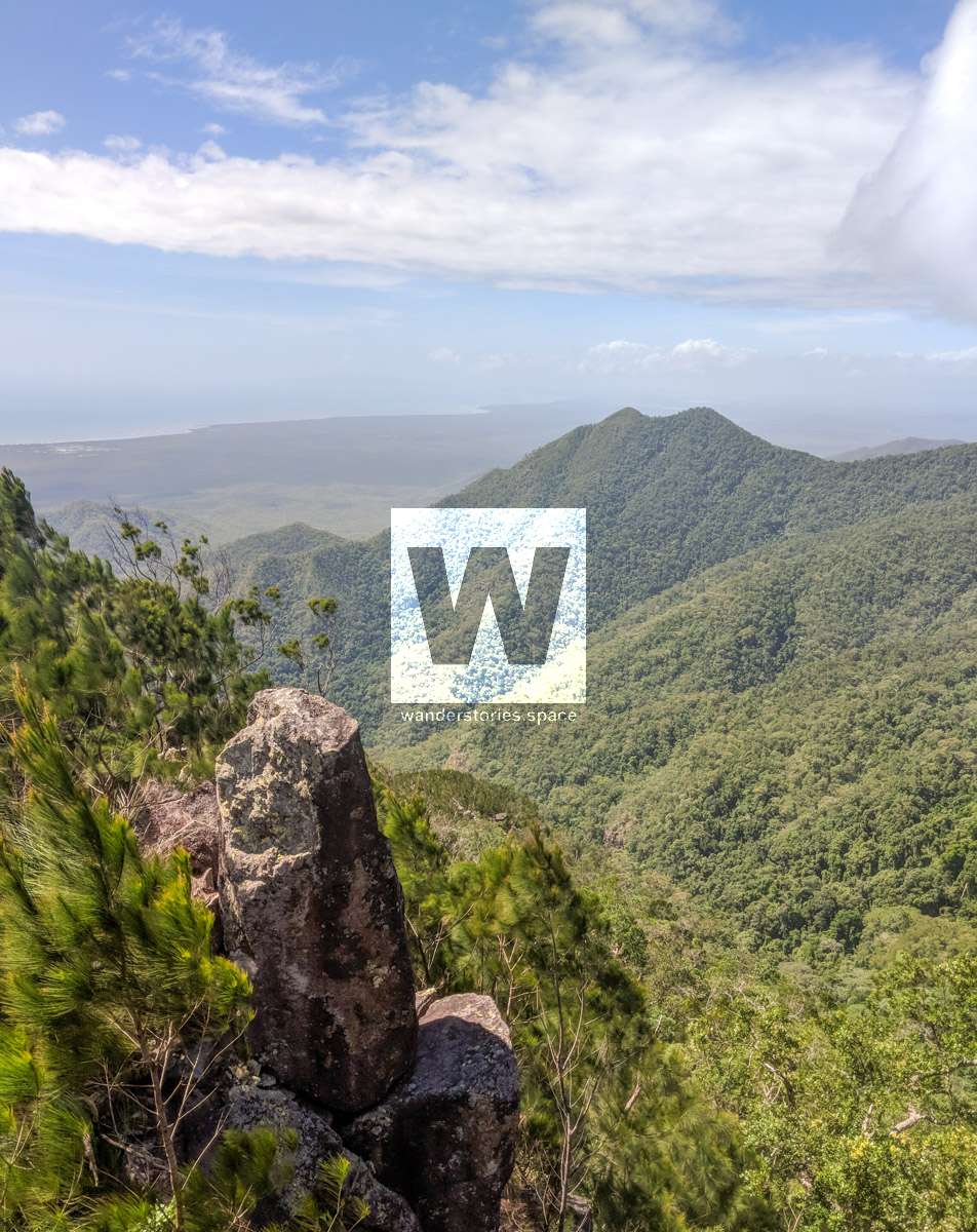
From Camp 3 to Echo Hill (altitude 894 metres), there is more, steep climbing required to reach the rocky ridgeline of she-oak and grass trees. This part of the track can be slow if the track is overgrown because of the vegetation. If you are lucky, a nice breeze will cool you as you go, even though there is literally little to no shade along this segment. But, once your reach Echo Hill, you will enjoy great views of the landscape around and below. Godwin's Peak is visible to the southeast, as is Townsville. If you look toward the east and to the north, you will see the Palm Island group and, in the distance, Hinchinbrook Island. Look west to see the summit of Mount Halifax. It feels a bit closer now!
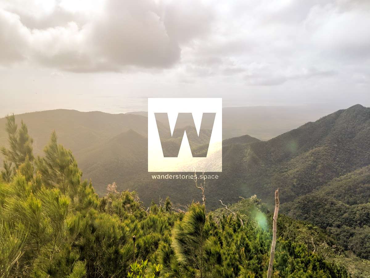
From Echo Hill to False Crest (altitude 1015 metres), you will trek along the ridgeline and then into the rainforest. Enjoy some spectacular views along the ridge, and note that the temperature noticeably (and pleasantly) decreases while you are in the rainforest.
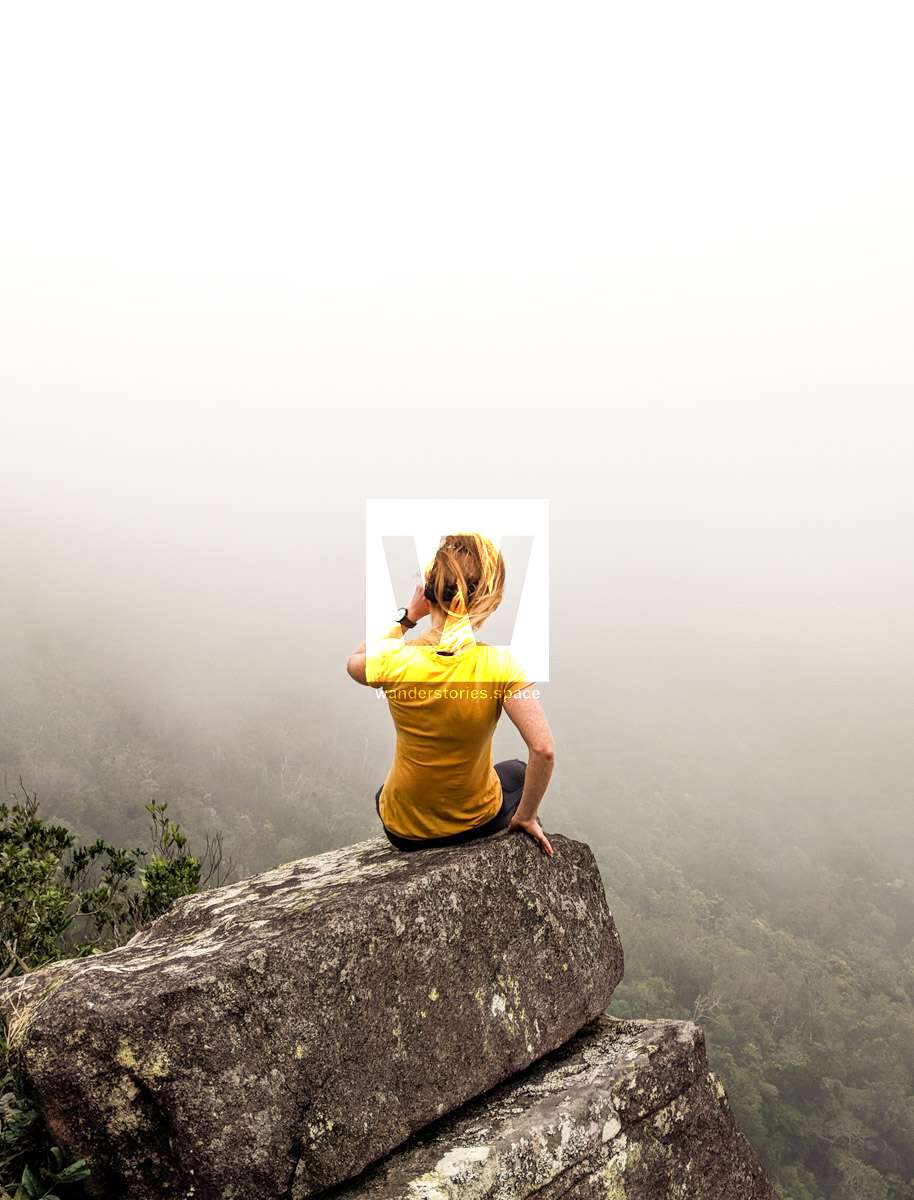
From False Crest to Mount Halifax (altitude 1063 metres), you will walk for about 15 minutes through the rainforest, down a gully, and then back up, over moist, rainforest ground to reach the summit. You will have been trekking now for approximately 5 hours.
Crowd onto the rocky outcrop that is just south of the summit for the best views. Then, if you continue further south a few metres, you can scramble onto Mickle's Lookout, which is overgrown but has even better views.
If you decide to camp at the summit, there is a water point about 1 kilometre away, but note that the track to get there is slightly overgrown and downwards. Note that a camping permit is required.
After a lunch break and ample photographs, start your return journey the same way you ascended. However, because you will be going downhill, the pace should be a little bit quicker than the way up. Be mindful of the steep downhill sections and the pressure on your knees and the fact that your feet can easily slip out from underneath you. Allow approximately 1 hour to come down.
Or, you may consider continuing on to Godwin's Peak or the PRB Track (via the link track).
Essentials to bring
You must be self-sufficient in remote areas with rugged terrain while you are hiking all day. Ensure you have a map, compass, GPS, and safety communication devices.
- Drinking water - carry adequate water for the whole day (at least 3 litres). Alternatively, you can use water sterilisation tablets or another way to treat your water and fill up at each creek.
- Food (lunch and snacks)
- Topographic map & compass and/or GPS
- Personal Locator Beacon (i.e., PLB) or similar (e.g., EPIRB)
- First-aid kit
- Torch/headlamp
- Warm clothing and wet weather gear
- Rubbish bags - please practice "Leave No Trace" and adhere to the "Hike It Out" campaign.
- Insect repellent
- Fuel or gas stove if necessary
- A small trowel for burying faecal waste. (Note: it is important to bury human waste and toilet paper at least 15 centimetres deep and at least 100 metres from campsites, tracks, and watercourses to guard against pollution and the spread of disease. Read more about things to know before you go.)
Remote bush camping south of Paluma Township (e.g., at the summit of Mount Halifax or en route)
Access: Hike-in access only
Permit: A permit is required
Remote hiking and camping: Only experienced and well-equipped bushwalkers should undertake extended overnight hikes.
Number of camping sites: A maximum of six remote campers are permitted in any one group.
Facilities: None. You must be self-sufficient. Water collected from creeks should be treated before drinking. All rubbish (including food scraps) must be carried out.
Open fires: Prohibited. Use fuel stoves only.
Other: Rats are in the area. Hang your food and rubbish bags from trees at night.
Dangers
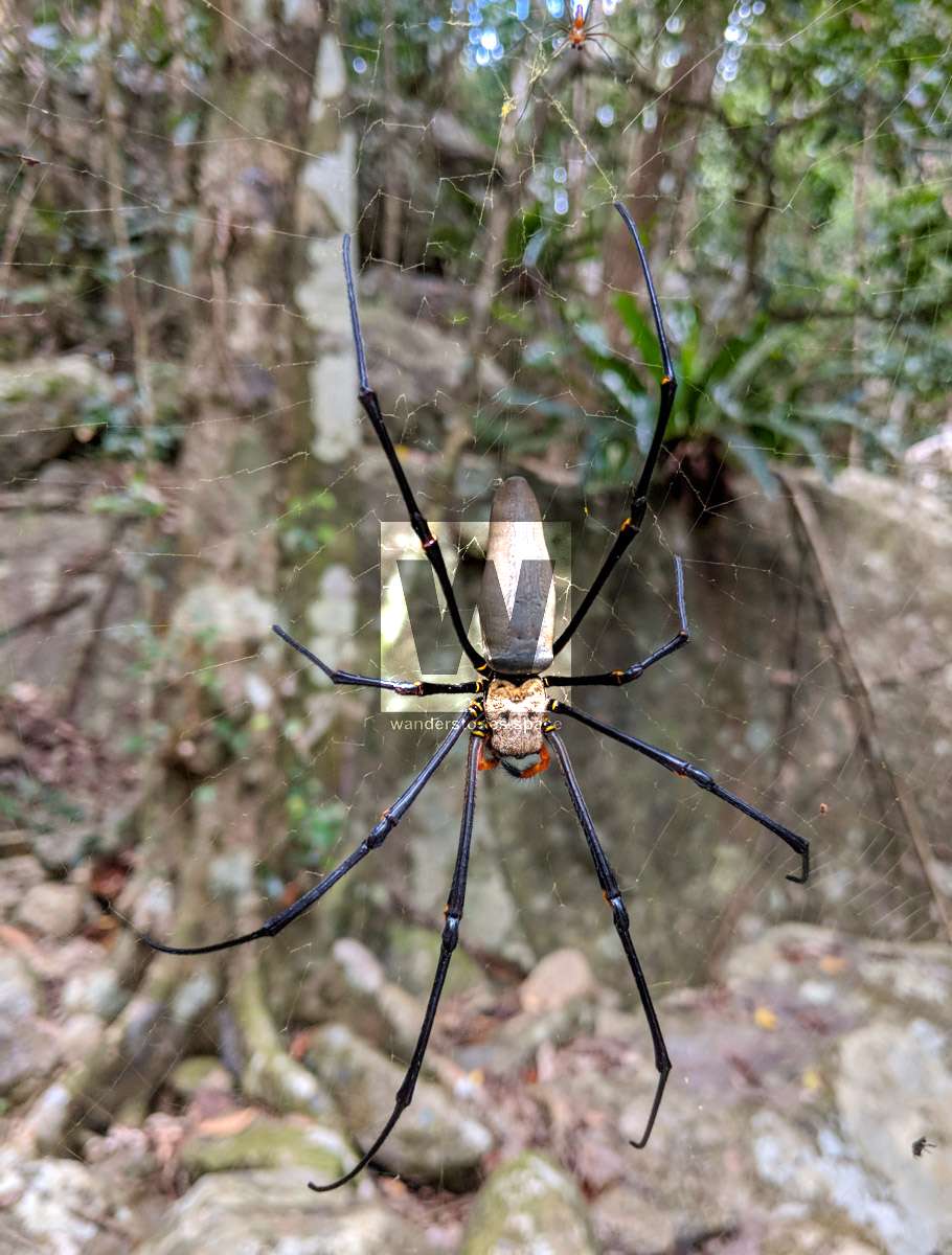
- Snakes and spiders
- Slippery rocks when wet
- Twisting an ankle and falling over
- Cliffs near the summit, loose rocks, etc. It is important to stick to the track.
This article, and all other articles, are for entertainment purposes only and are not to be used as a guide. Please see our Disclaimer for more information.