Peaks of Bowling Green Bay National Park

Bowling Green Bay National Park is located just south of Townsville and spans from Alligator Creek to all the way south to Giru. How many peaks are there in Bowling Green Bay National Park? Well, here's the seven peaks that are currently mapped on QTopo.
Mount Elliot
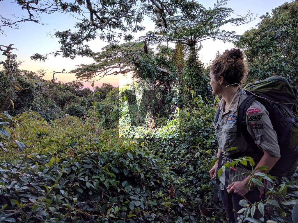
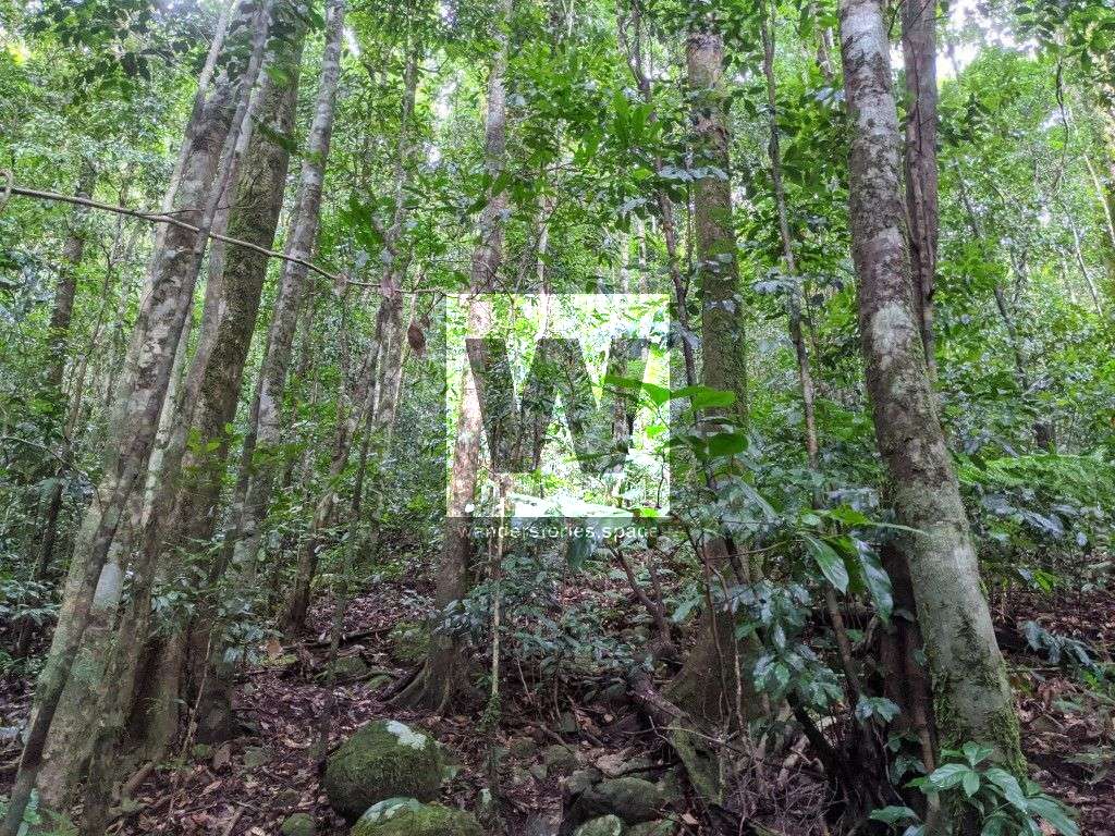
Mount Elliot is at an elevation of 1,218m above sea level and is the highest peak in Bowling Green Bay National Park. The summit is thick rainforest and provides no views. However, the journey to top the is the real beauty out of this adventure.
Mount Cleveland
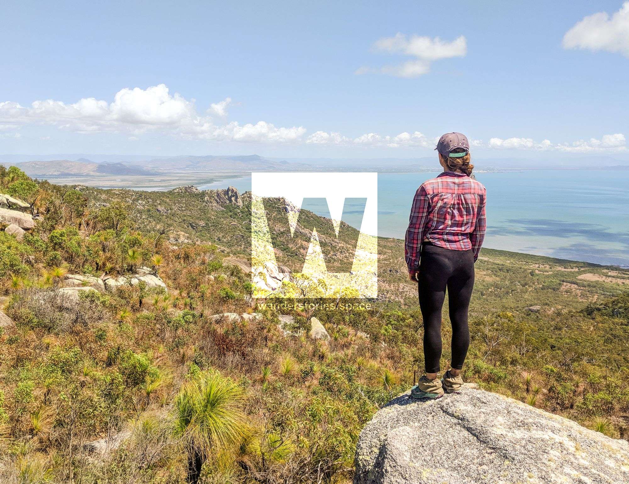
Mount Cleveland is at an elevation of 558m above sea level and has good views out to Townsville and Magnetic Island. This open bushland is easier to traverse than some other places around Townsville.
Mount Burrumbush (Feltham Cone)
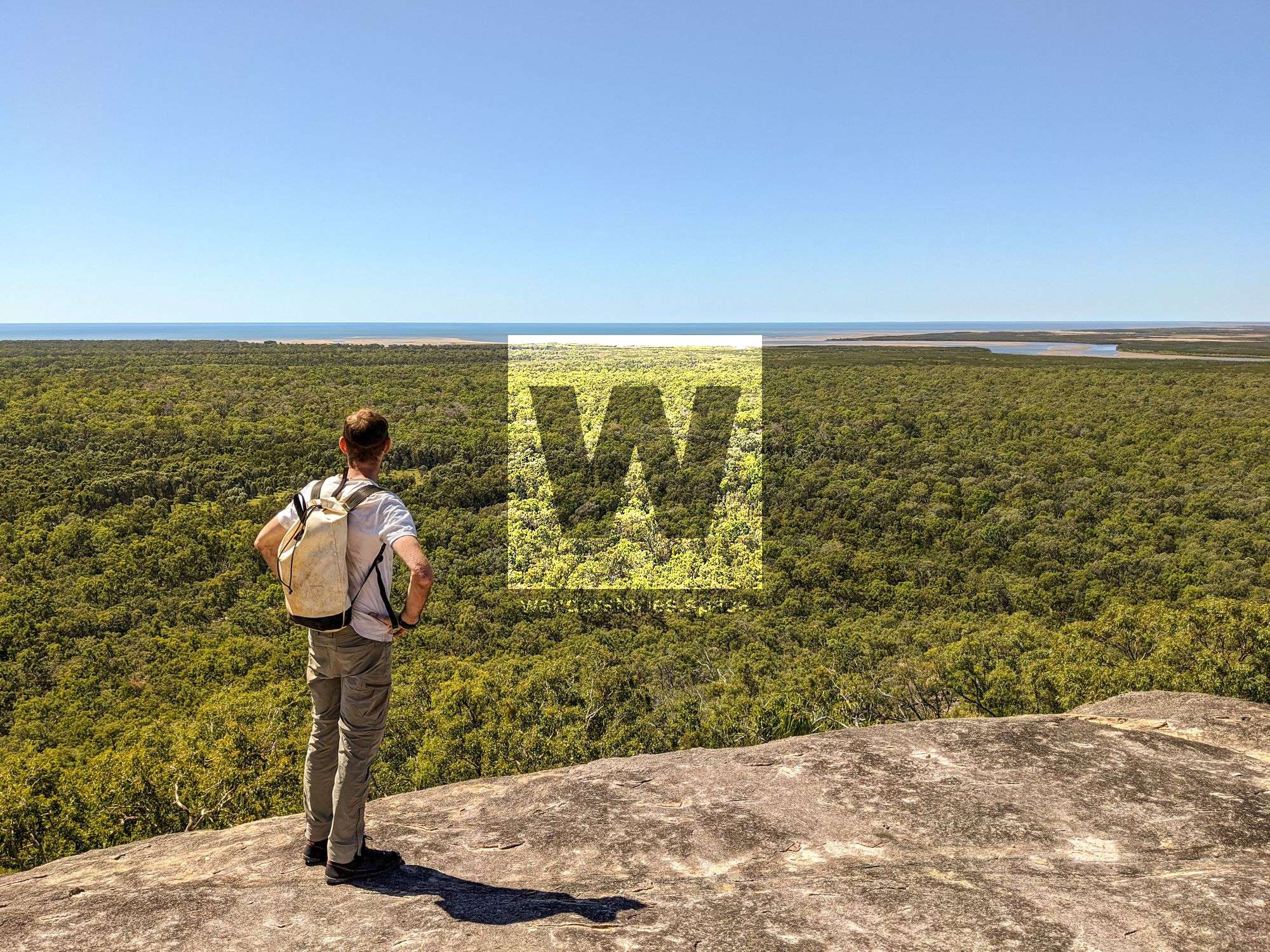
The Cone (94 m) and Feltham Cone (279 m), also known as Mount Burrumbush which possibly means 'dingo hill', are located near Burrumbush Creek, Giru southeast of Townsville.
Sharp Elliot
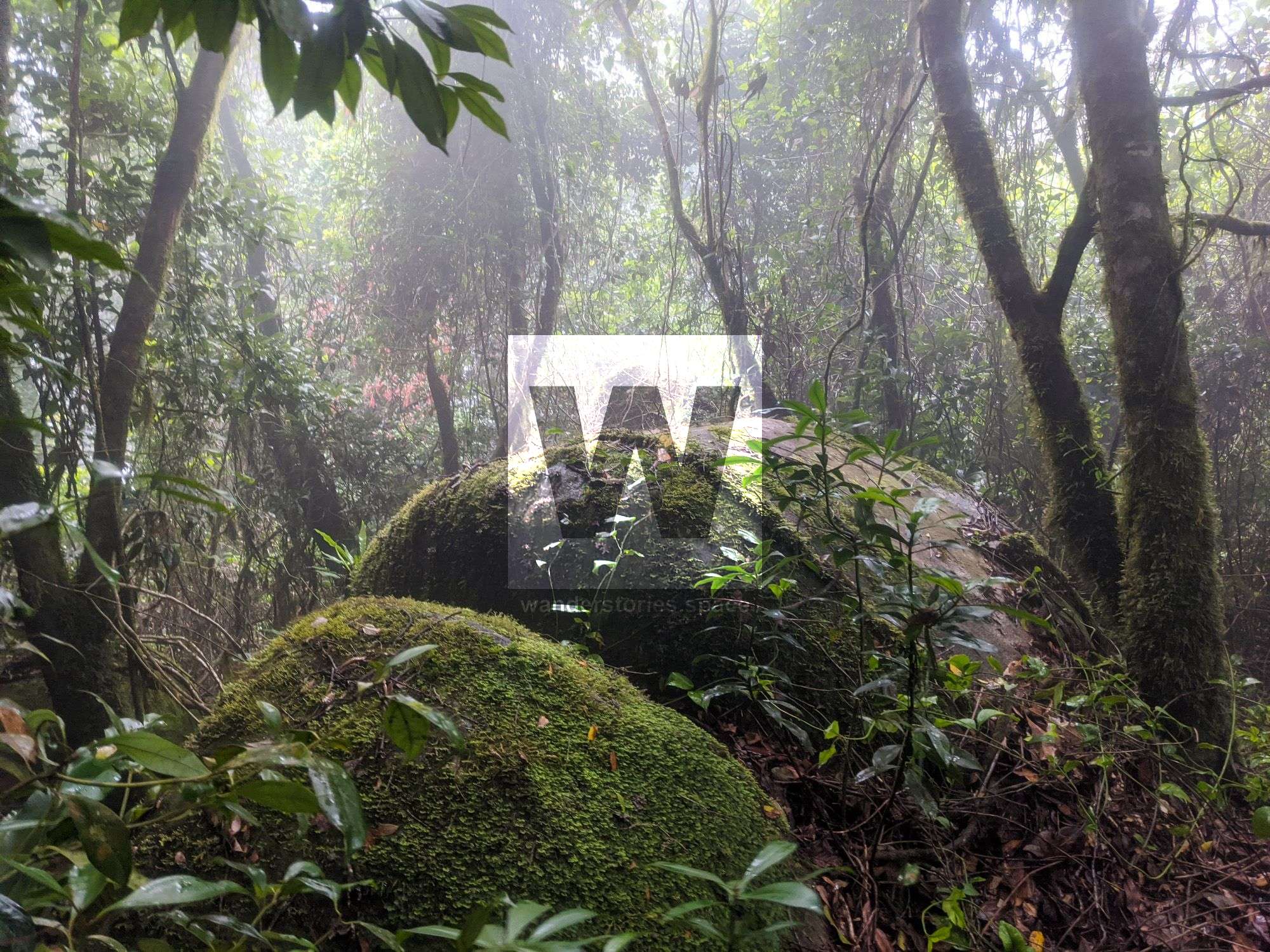
Double Creek may well be the best way to summit Sharp Elliot. Sharp Elliot is at an elevation of 1,183 metres with moist rainforest at the summit, thick vines, and bramble.
Shoulder
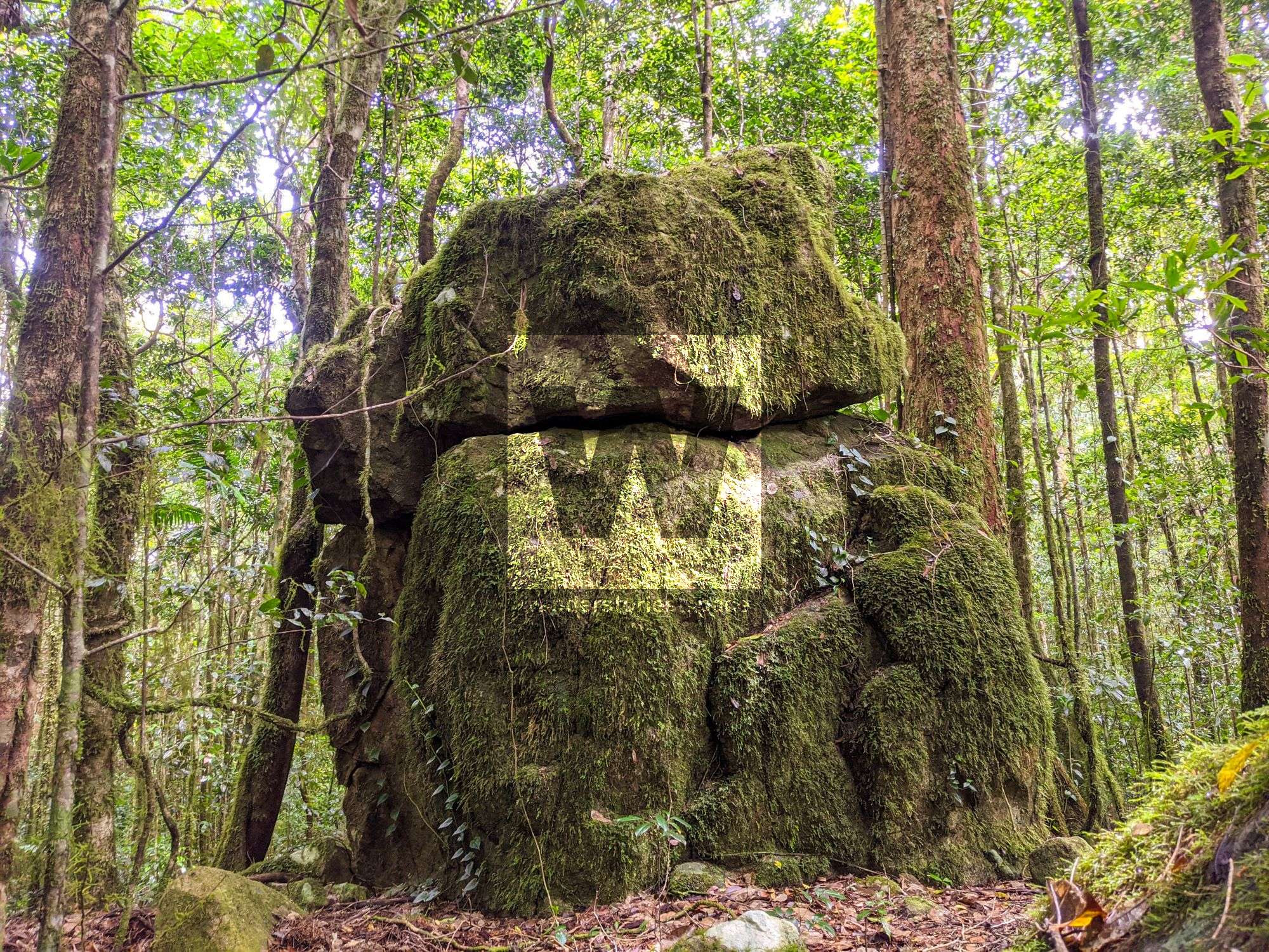
There are several routes to the Shoulder (1,022 m), e.g., via Spring Creek, Hidden Falls (St Margaret Creek), or Mount Elliot. Lush, untouched rainforest awaits.
Mount Storth
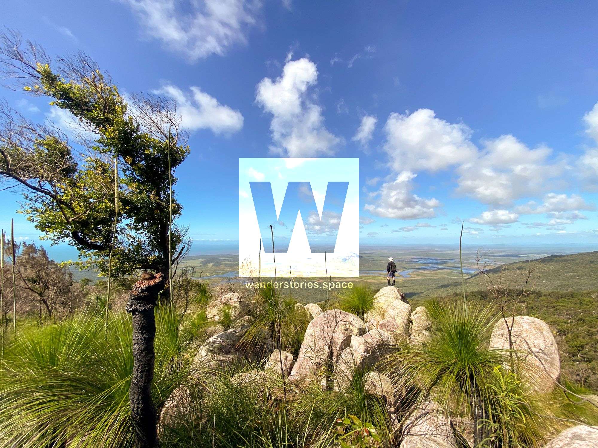
Mount Storth (632 m) provides stunning views out to Cape Cleveland and the surrounding countryside. Mount Storth is right next to Saddle Mountain, and both peaks are split from the main Mount Elliot range by Alligator Creek valley.
Saddle Mountain
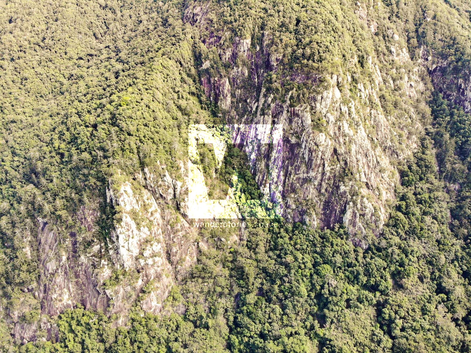
Saddle Mountain is at an elevation of 882 metres and has a rocky cliff line on the eastern side. A RAAF Mosquito reconnaissance aircraft crash into the mountain top in WWII.
This article, and all other articles, are for entertainment purposes only and are not to be used as a guide. Please see our Disclaimer for more information.