The PRB Track - Paluma Rollingstone Bluewater
This track goes along the old Bluewater Forestry Road to the Paluma township. On the south side of the range it follows the Bluewater Range Track. It is currently overgrown and disused.

Location - Paluma Range National Park, North Queensland, Australia
Distance - Approximately 55 km one way (not including side trips)
Time - a multi-day trip (once reopened, it could be run in one day)
Grade - 5
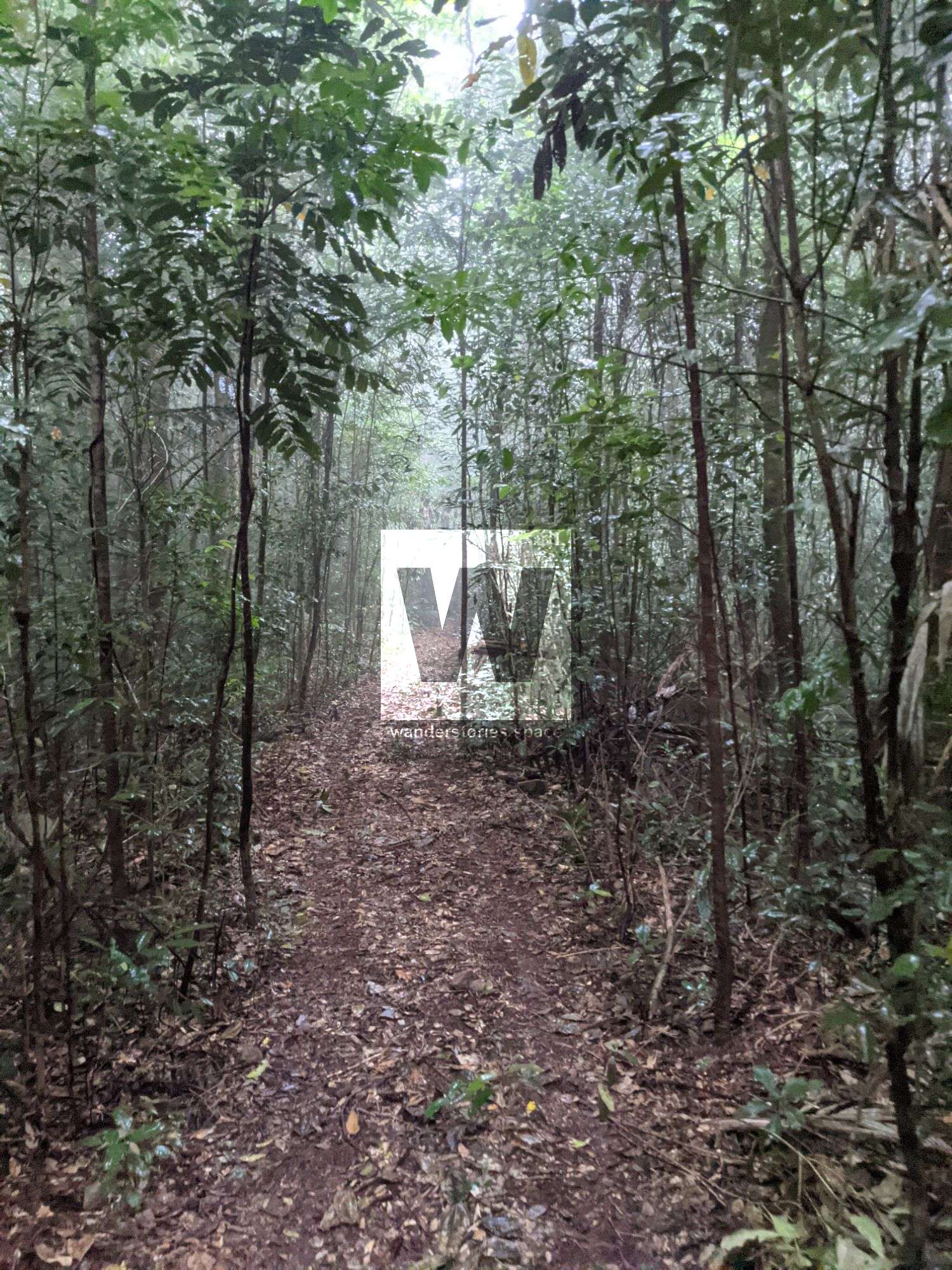
Paluma Range National Park has much to offer adventurers like us. This trail goes along the old Bluewater Forestry Road to the Paluma township. On the south side of the range, it follows the Bluewater Range Track which is an old logging road that was frequented by four-wheel drivers and on the northern side, it joins onto an old Paluma logging road known as the Windy Corner Track. The logging operations were shut down before they could connect the two logging roads together leaving a ten-kilometre stretch of bush bashing.
Note that this track is currently overgrown and efforts are being made to reopen this trail, hopefully, by the end of 2022. Contact us if you would like to help us with this trail. It's been a few years in the making.
Interactive Map
Here's an interactive map of the area. The blue lines are uncut, while the green lines are currently open and walkable.
Note that the below track description is broken up into sections and you can choose to do several sections over one day - depending on fitness.
Section 1 - Bluewater Hut to Little Star River
Distance: 18 km
Duration: 4-6 hours
Side trips: No official side tracks
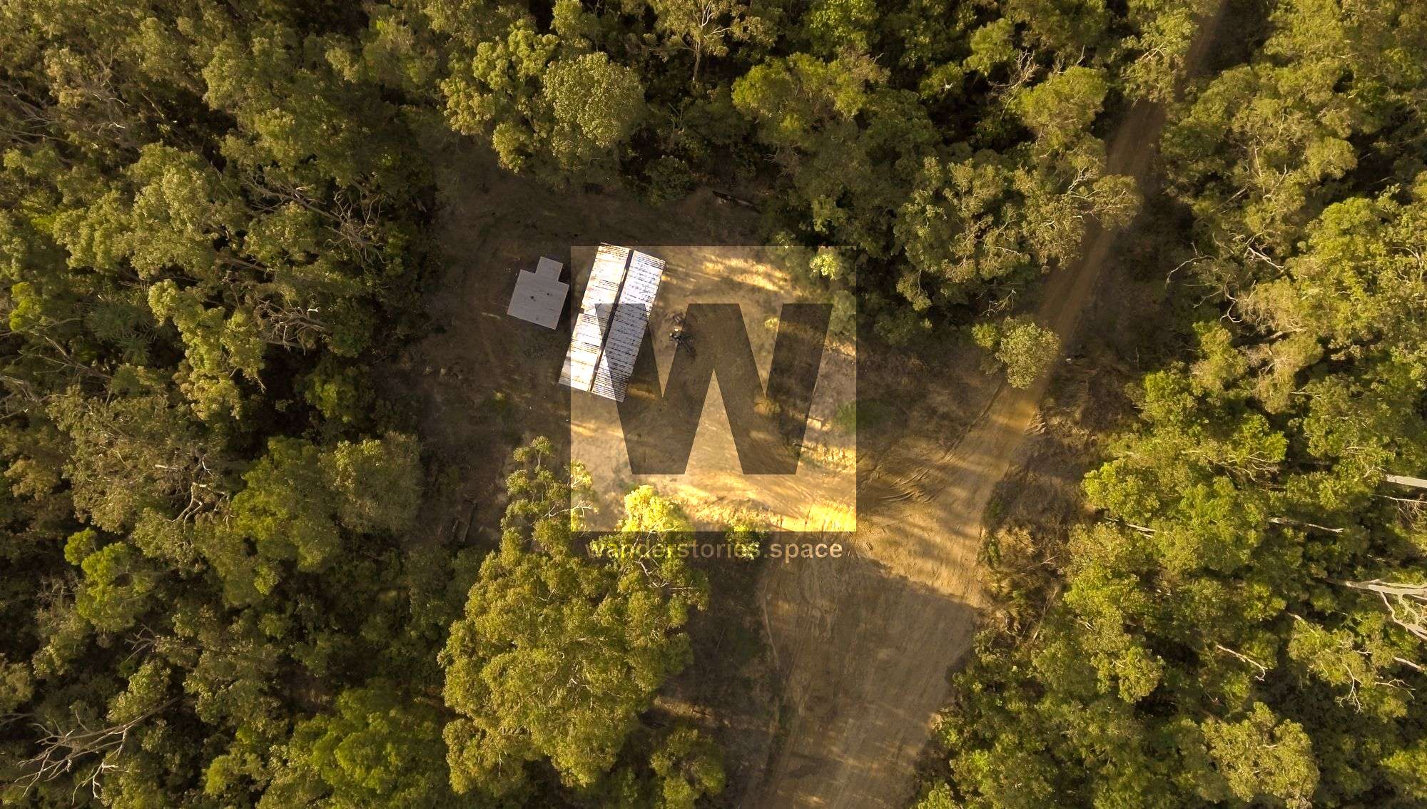
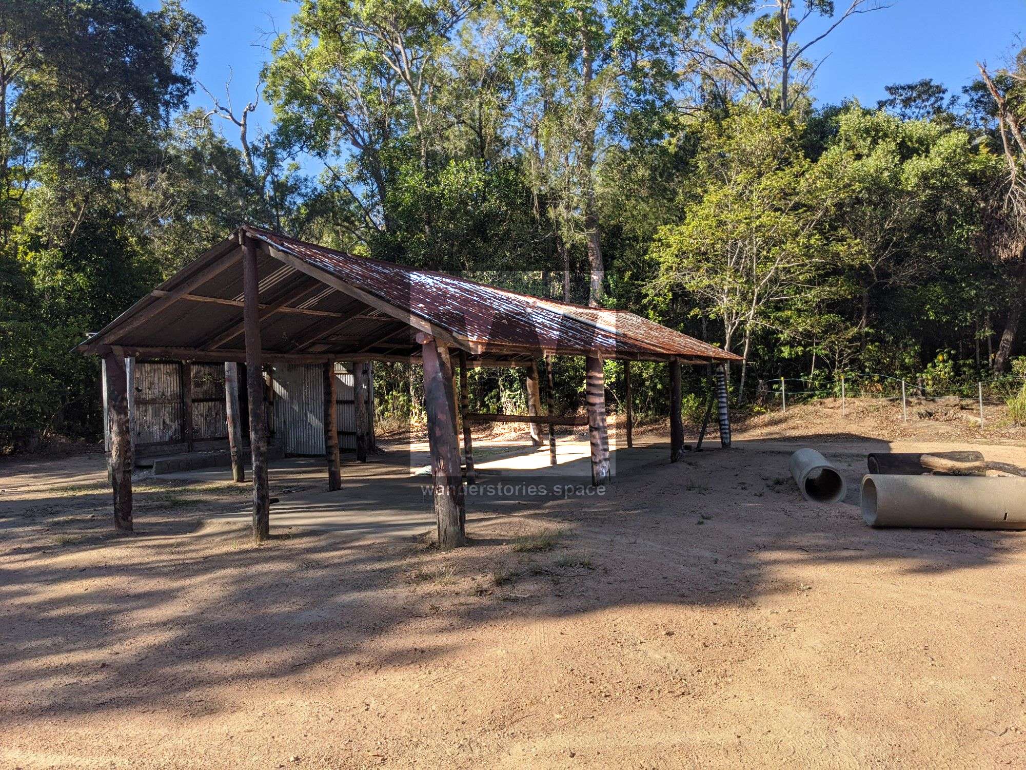
Ideally, get dropped off at the Bluewater Forestry Station, also known as the Bluewater Hut. This is located at the top end of Forestry Road. The road up the range can be a little washed out after a bit of rain so note you can park near Pine Creek bridge at the base of the range and walk from here.
From the Bluewater Forestry Hut, walk 14.5 km along the red, muddy four-wheel drive track to Keelbottom Creek. Note that this can be slippery and there are several bog holes where water pools from four-wheel drivers. Keelbottom Creek is a good place to refill water if needed and can also be used as a campsite.
Continue along the old logging road until you reach Little Star River campsite (taking a left fork just before you cross the stream on the main track).
Section 2 - Little Star River to Loggers Hut Bridge
Distance: 11 km
Duration: 2.5-4 hours
Side trips: Halifax Link Track
There are a few streams along the way and there's a decent-sized stream at 9.5 km.
Continue past the Halifax Link Track.
It's about 11 km from Little Star River campsite to the caravan and loggers hut. Another 300m past the logger's hut is another stream where you can refill water.
Section 3 - Loggers Hut Bridge to Banana Creek
Distance: ~7 km
Duration: 2-5 hours depending on track condition
Side trips: Rollingstone Creek
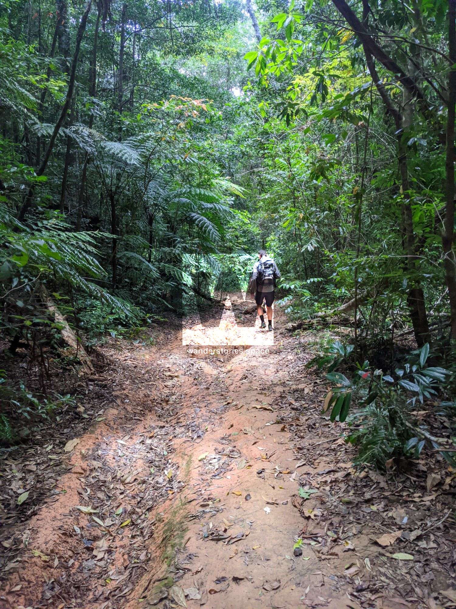
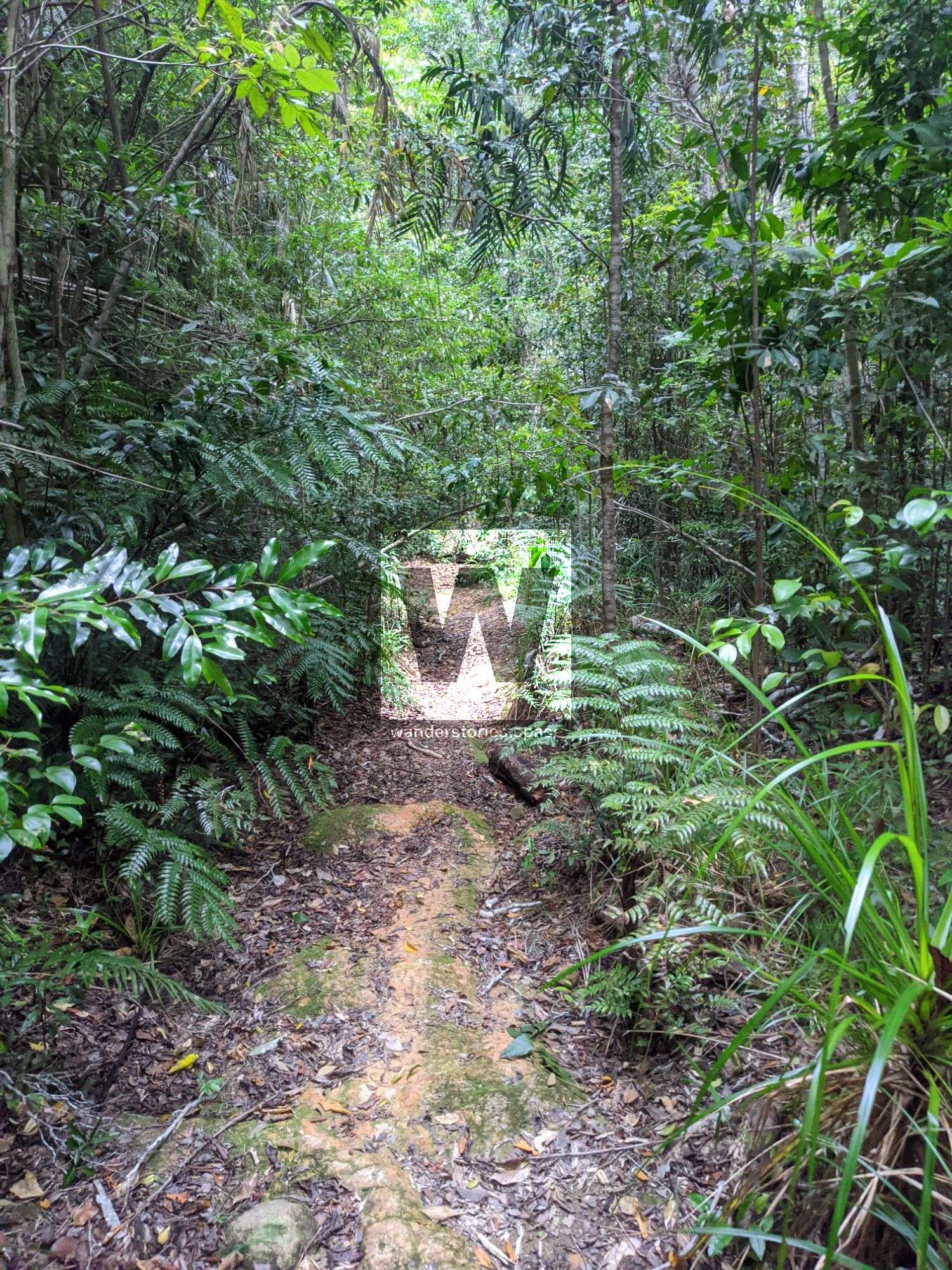
From the bridge, the next section is less used and narrows even more. The disused road starts off fairly open going through blade grass that cuts into your skin if you're not wearing long pants.
Navigate your way through the 10 km section that leads up on top of the ridgeline where water may be scarce. You can refill at the headwaters of Banana Creek marked on the interactive map.
Continue straight past the junction with Rollingstone Creek Track. Soon you will arrive at Banana Campsite. Banana Campsite is at the track junction with the track that takes you steeply down ~200m to Banana Creek. Water is available with swimming opportunities downstream a couple hundred metres.
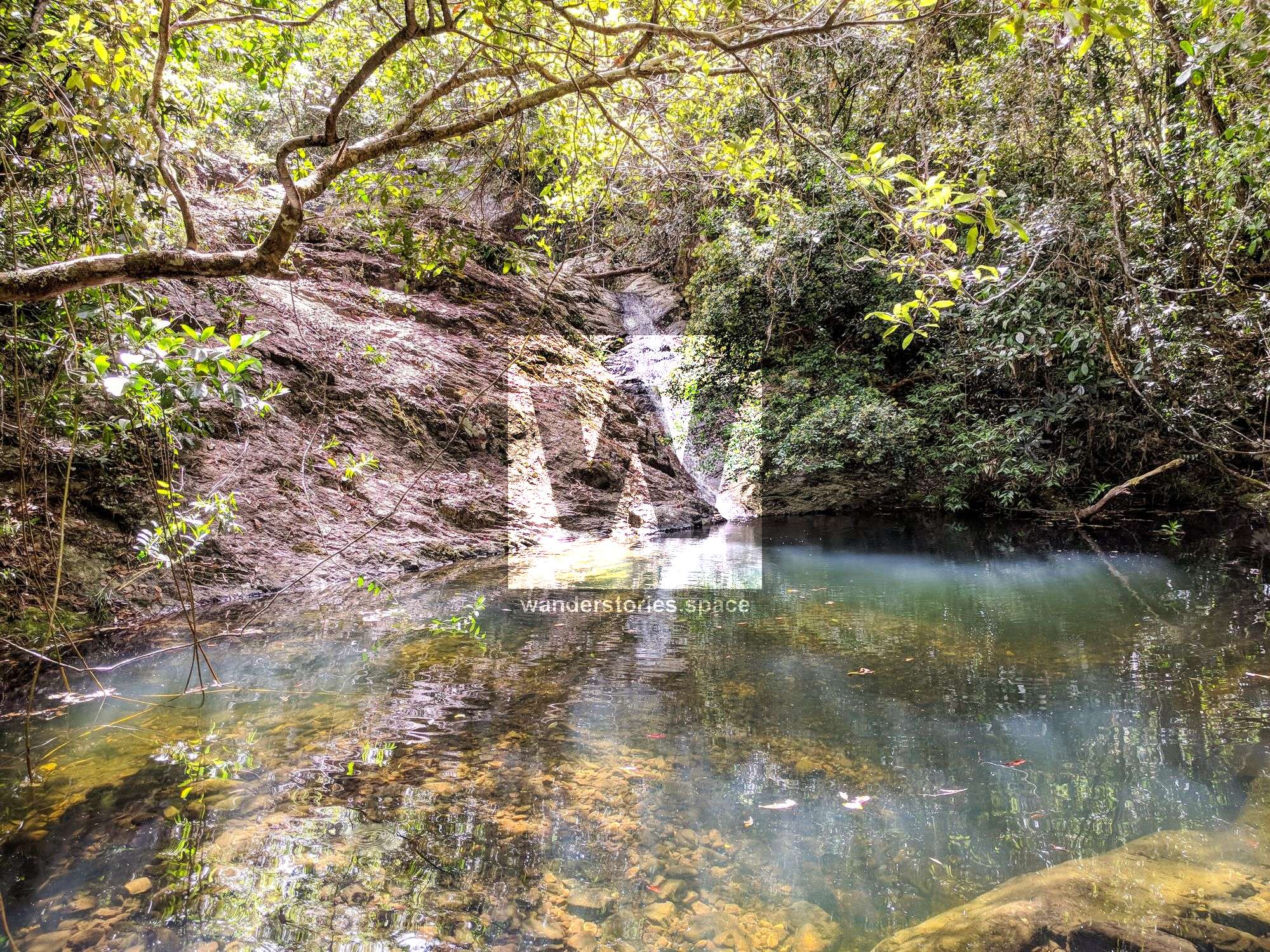
Cheese Island pool (Banana Creek)
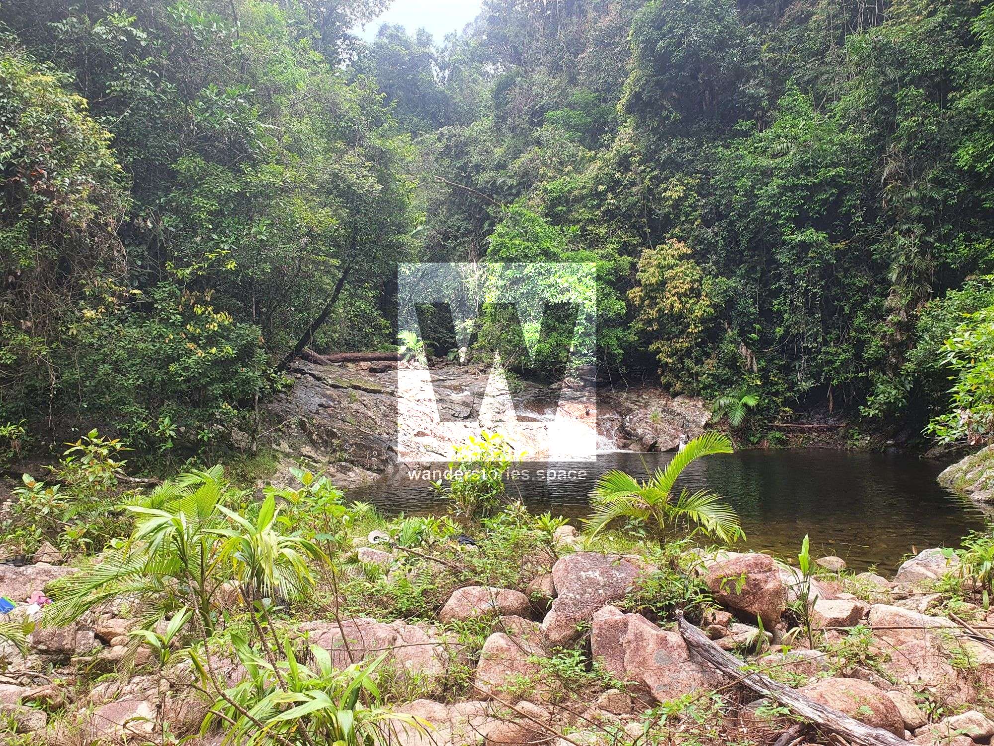
Once in the creek, a few hundred meters downstream of the entry into Banana Creek is "Cheese Island" and a large swimming hole that has water year-round. Some people prefer to camp on Cheese Island as there is water right there.
Smith Creek Falls
Section 4 - Banana Creek to Pigswallow campsite
Distance: Approximately 7 km
Duration: 3-6 hours depending on track condition
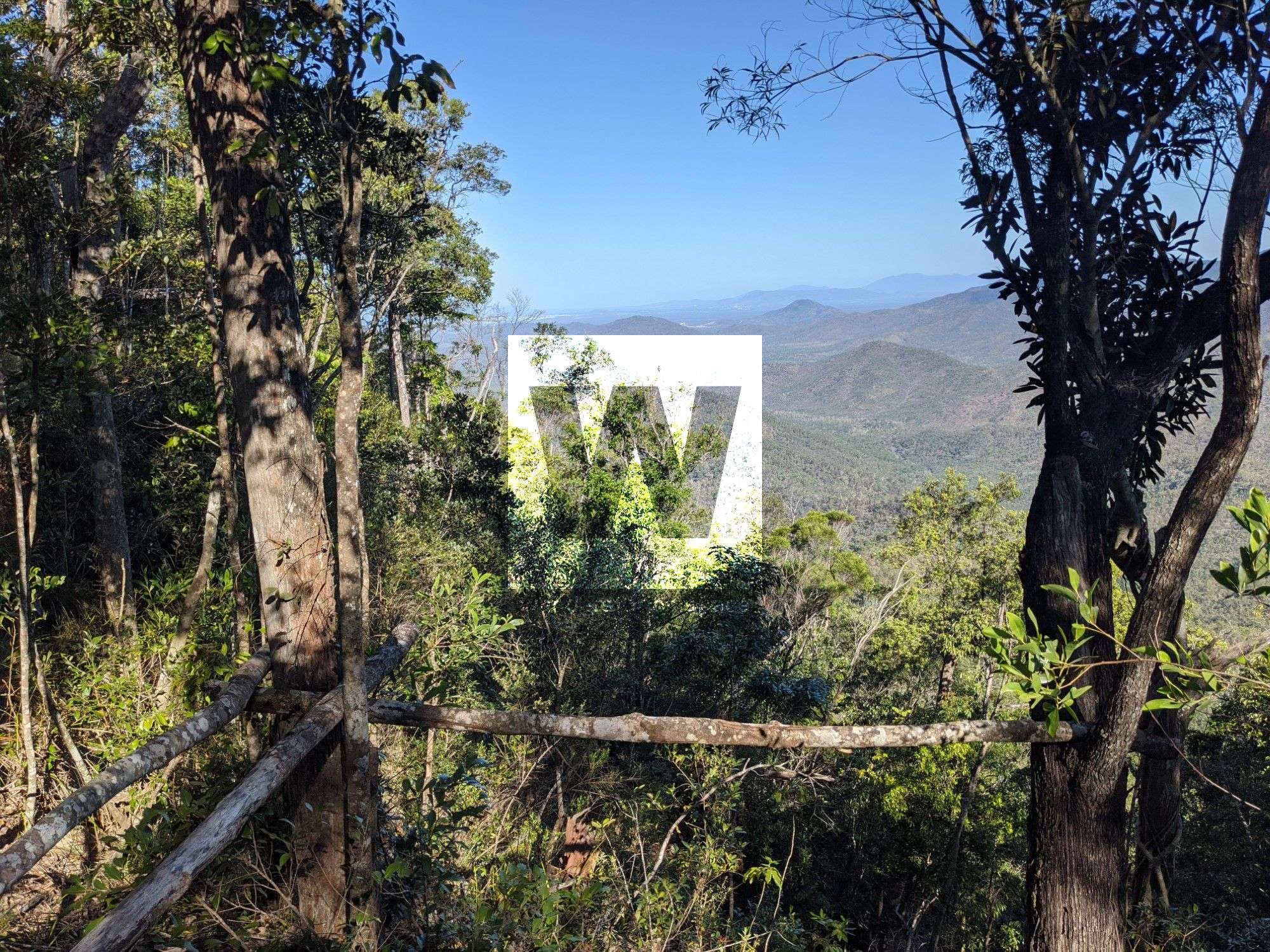
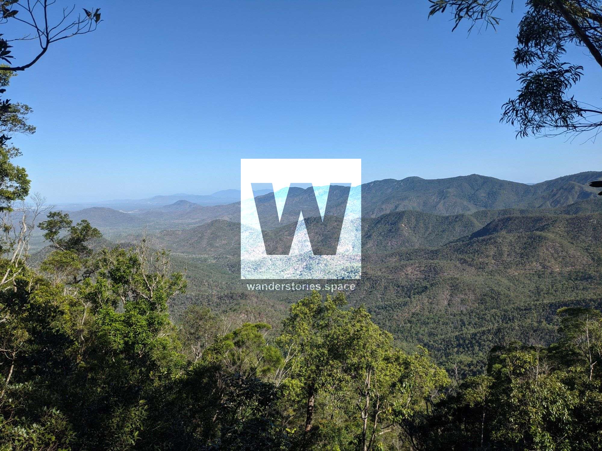
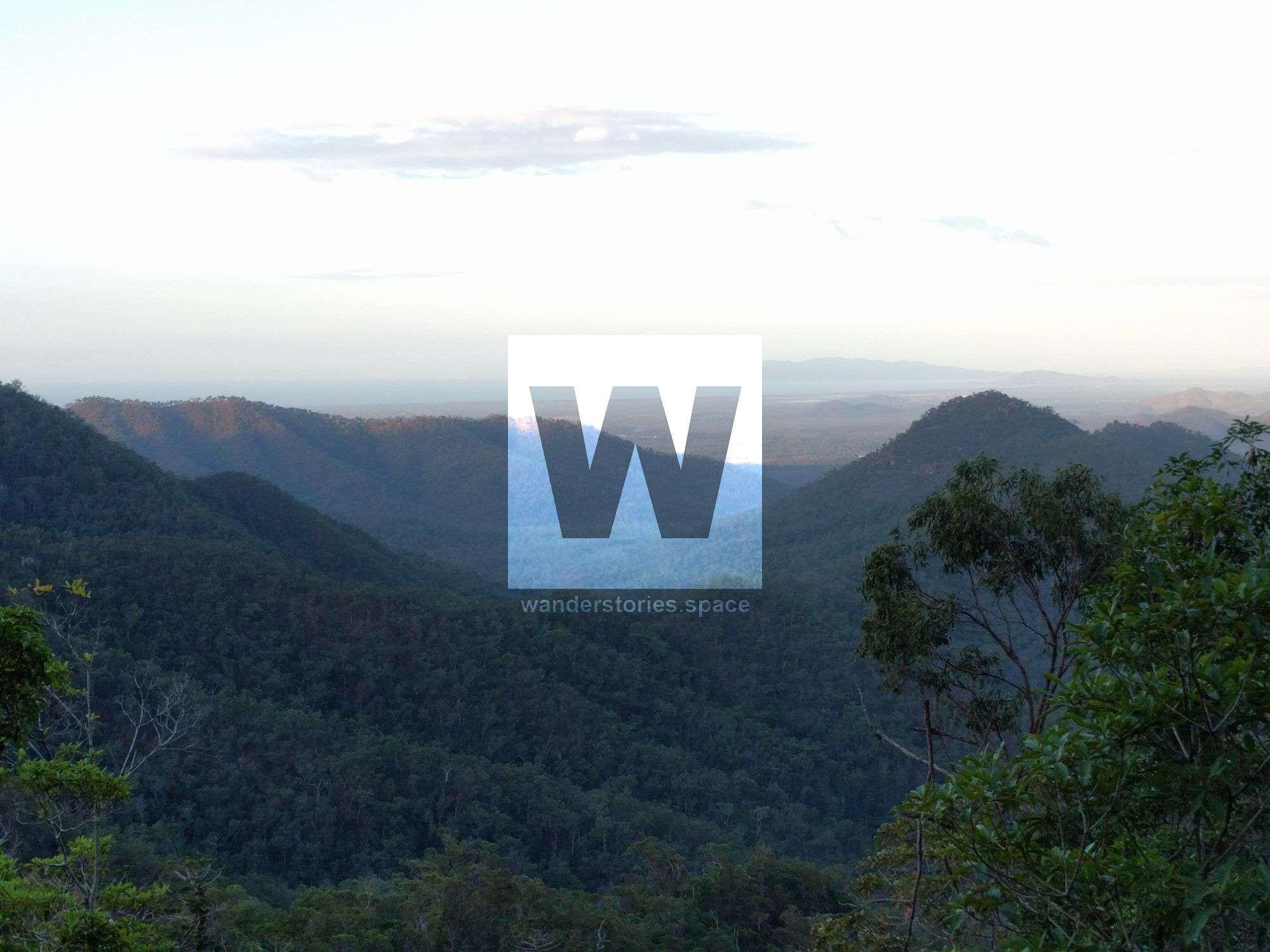
Side trips: Ollera Creek Falls and Ollera Valley Lookout
This is the thickest section yet. Expect it to be slow going, especially if the trail hasn't been maintained in a while. Follow the rough track.
Make your way to 'three ways' and continue past the Tube Creek / Ollera Creek junction.
Enter into Smith Creek at what is known as "Pancakes". From here, follow the track up the ridgeline and then back down into Smith Creek at the falls.
There is a pool to swim in at Smith Creek Falls. Note that this is your last water refill point.
There are not many flat places to camp at Smith Creek Falls so refill your water and continue another 2 km to Pigswallow campsite.
Section 5 - Pigswallow campsite to Paluma Village
Distance: 10.1 km
Duration: 2-3 hours
Continue to join up with the old logging road from the Paluma end and continue along to Paluma Village. This section of the track is very wide and well maintained.
Highlights
- Fruit Salad (a pretty gully)
- Smith Falls
- Four Ways (a point where four creeks run together)
- Ollera Valley Lookout
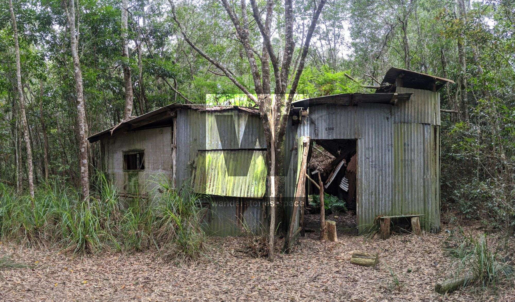
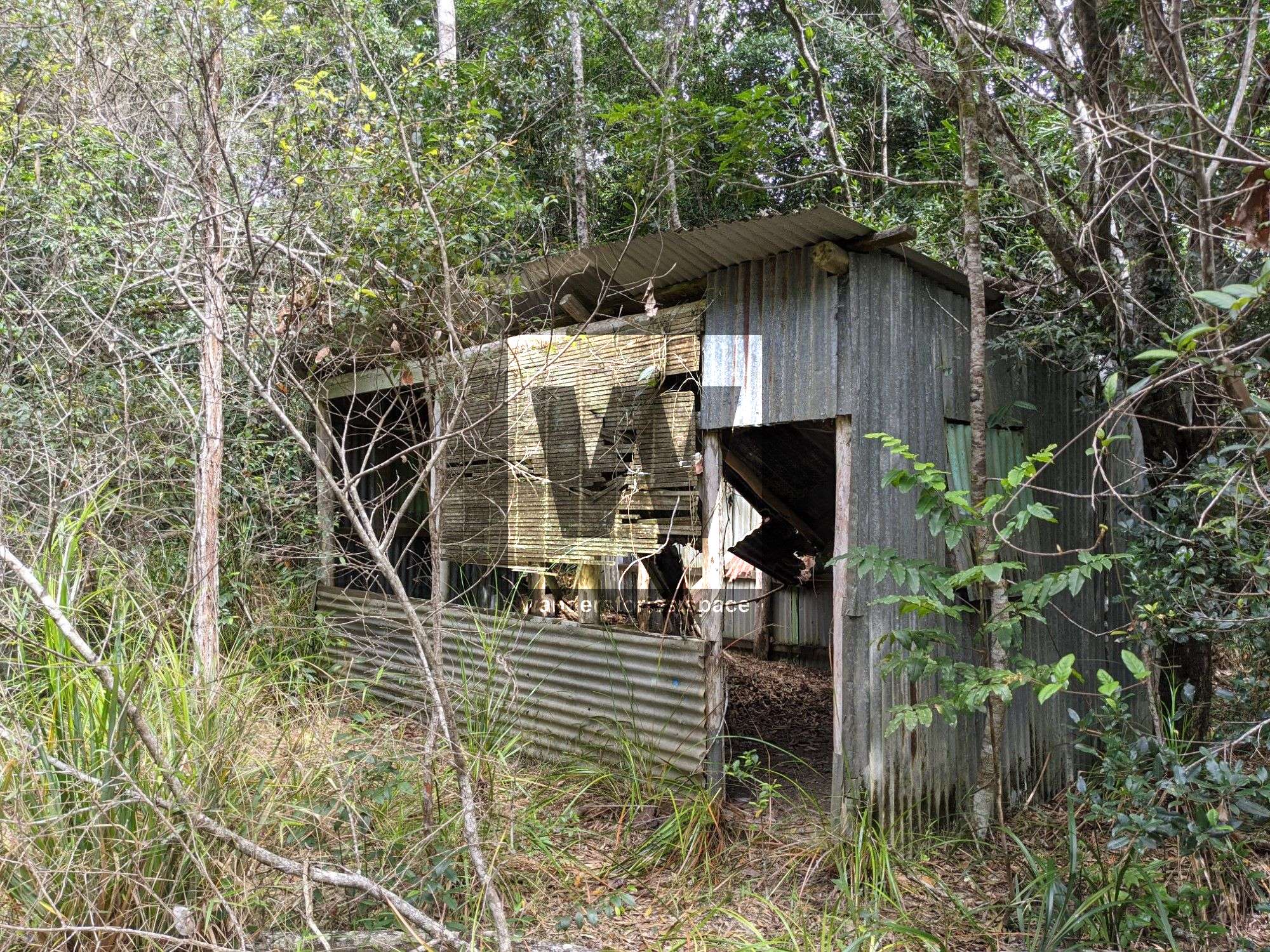
- Old loggers huts
- Bluewater Forestry Station
- Beautiful creeks and swimming holes (Cheese Island pool in Banana Creek, Little Star River pool)
- Tracks to Circle View Mountain (Ollera Falls and Big Rock), Mount Halifax, and Roly Gorge Falls
Side tracks
There are several sidetracks along the PRB Track:
Ollera Valley Lookout
A cliff that overlooks Ollera Creek. From here, a rough track takes you down into Ollera Creek.
Circle View Mountain
There are two tracks that go into Ollera Creek. The Tube Creek track passes Tube Falls and ends up just downstream of Big Ollera Falls. The other track from "Three Ways" tracks along the ridgeline down into Ollera Creek upstream and is the easiest way to summit Circle View Mountain. You can also access Big Rock along the ridgeline from Circle View Mountain. Read more about Circle View Mountain & Ollera Creek.
Rollingstone Creek West Branch (Roly Creek)
This track follows Roly Creek down through Roly Gorge and by Roly Falls ending up near Paces Road, where the Mt Halifax Track starts.
Mt Halifax & Godwins Peak
This sidetrack follows Roli Creek up to a section of the track between Halifax and Godwins. It passes by Roli Falls. Read more about Mt Halifax and Godwins Peak.
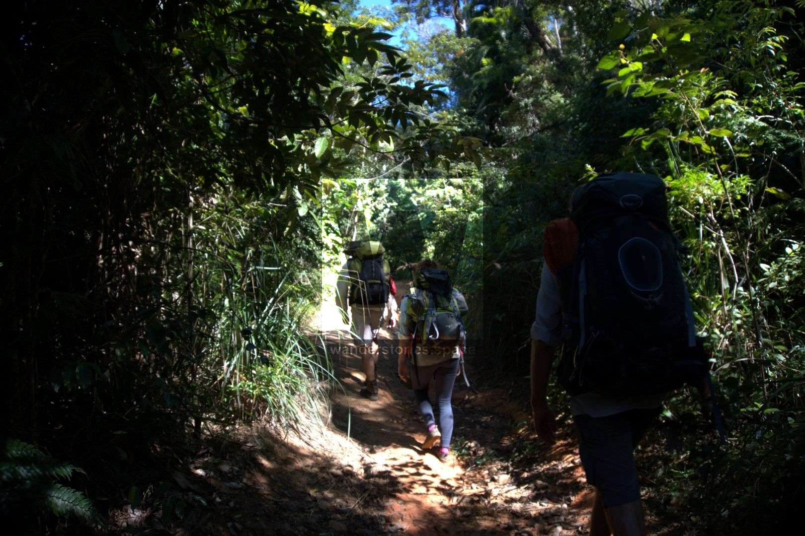
Essential Gear // What to bring
- Sleeping gear (hammock, tarp, mossie net, sleeping mat, sleeping bag). A hammock with a mossie net is recommended as finding flat and clear ground can sometimes be difficult. Use a sleeping mat to stop the hammock from hugging you too tightly and for insulation as well as a sleeping bag.
- Water carrying capacity for two days (approximately 3 litres per day). Bring a large bladder or collapsible bottle to fill up for the bush bashing part. Some way of treating your water that you collect from the creeks [boil, UV, chemical, or filter]).
- First aid kit and Personal Locator Beacon (PLB) (also consider a satellite phone, mobile phone coverage is very poor)
- Topographic map and compass / GPS unit
- Snacks and dehydrated or freeze-dried food for 7 to 10 days.
- Cooking utensils, stove, gas, etc... (Can share with someone else in your group). Open fires are prohibited in National Parks.
- Secateurs for cutting through the rainforest as it gets very dense
- Torch and/or headlamp
- Warm clothing as it can get cold at night
- Wet weather gear
- Rubbish bags. All rubbish (including food scraps) must be carried out.
- Mossie repellent
- Sunscreen and sun-protective clothing for the open bushland parts.
- A small trowel for burying faecal waste. Bury human waste and toilet paper at least 15 cm deep and 100 m from campsites, tracks and watercourses to guard against pollution and the spread of disease. Use toilet paper that breaks down (not wet wipes as there are made of plastic)
- Camping permit: "Mount Halifax remote bush camping"
History
After the Mount Halifax Track was completed in 2006 by Trevor Cheeseman, Dave Dunk, and Stan Redman, then Michael Mohring came onto the scene in 2007 to work on Trevor Cheeseman's dream to make a track from Bluewater to Paluma. The work on this track started July 2007 and they completed the Paluma-Rollingstone-Bluewater (PRB) track in December 2009. Then Leo came onto the scene and together, the team of three call themselves "The Spartan Trekkers" and have been working on a 100-kilometre network of tracks in the area.
The Godwin's Peak Track was started in August 2016 and completed in June 2017. The track to connect Mount Halifax was started in August 2016 and finally, the clearing and marking were completed on 7 September 2019. The network is still under construction with the goal of having seven trailheads to access the 100 kilometres of track to have many day walks and multi-day hikes.
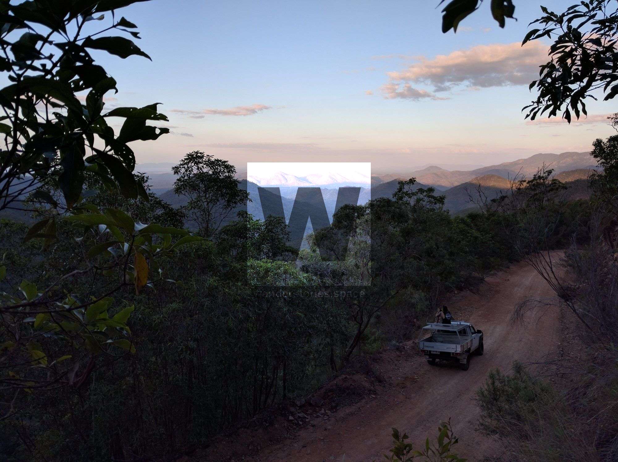
Townsville Rockwheelers and Townsville 4WD Club use to frequent the logger's hut and caravan, however, Cyclone Yasi made it impossible to get there on a vehicle until the road was cleared, which took many years. Past the logging cabins, the logging road hasn't been used for a few decades. It is well and truly overgrown and you will need secateurs to cut your way through the bramble, lawyer cane, barbed wire vine, and bladed grass.
All of the tracks were destroyed by Cyclone Yasi in 2011 and has only been walked once since by Luen Warneke, Matt Salinovich, and Adrian Garnett which was completed over two days in November 2020.
About twenty kilometres of the Forestry Road end has been cleared by private four-wheel drive enthusiasts and about ten kilometres on the Paluma side by bushwalking enthusiasts. There is still about a ten-kilometre stretch in the middle that is yet to be cleared, as well as the side tracks.
The track is currently being recut:
- from the Paluma (northern) end by National Park volunteers (Wilfred Karnoll and his friends) to Smith Creek Falls - completed in 2019 but continuously being maintained, widened, push further along.
- the bluewater (southern) end to the loggers huts by private four-wheel drive parties. Drivable on a side-by-side (ATV-like) to the loggers hut completed in 2020.
- the Halifax Link Track by Adrian Garnett and company was completed in 2020.
- Rollingstone Creek West Branch Link in 2020 by Michael Mohring, Luen Warneke, Adrian Garnett, and company.
- Ollera Creek Link to Mickle's Entry in 2019/2020 by Michael Mohring, Luen Warneke, Adrian Garnett, and others.
Once fully completed, the track is hoped to be turned into one of the great walks, much like the Thorsborne Trail on Hinchinbrook Island. If the Paluma to Wallaman Falls via Raspberry Falls track goes ahead, this could extend the through hike by a significant amount.
Until this track is fully reopened, which is expected to be at the end of 2022, we do not recommend attempting this track unless you are a very experienced bushwalker and have all the safety and navigational equipment and skills. The cyclone knocked out the canopy so it is super thick and slow going. Expect speeds of 200 metres per hour or less in the worst spots.
What to expect
- Snakes
- Ticks
- Leeches
- Spiders
- Other wildlife
- Gimpe Gimpe (stinging tree)
- Lawyer cane (wait-a-while)
- Bramble
- Lantana
- Barbed wire vine
- Bladed grass
- Rain
- Trip hazards
- Slippery wet rocks
Notes
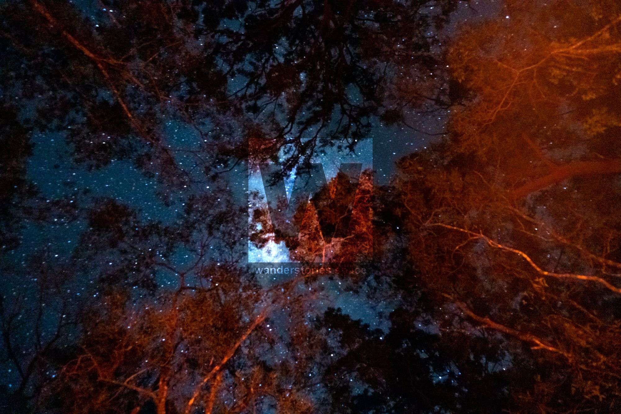
This trip involves remote bush hiking and camping south of the Paluma township. Only experienced and well-equipped bushwalkers should undertake remote, off the track hikes. You must be self-sufficient and you may want to treat the water collected from creeks before drinking.
The volunteer track maintenance group will continue to cut our way through the rainforest and this track will be opened as a multi-day walk in the future.
We would like these historic sites to be remembered, and we would like the relics and artefacts to stay at the site and not fall victim to collectors and trophy hunters. There are few places remaining like this in Australia, let alone the world, to explore that have not been pillaged. There is no reason to remove objects from any of these sites. Please be responsible, respect the history, and respect the importance of this site for future generations. Take photos and leave only footprints.
This article, and all other articles, are for entertainment purposes only and are not to be used as a guide. Please see our Disclaimer for more information.