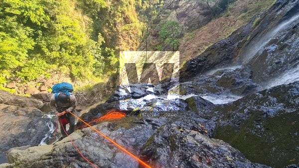
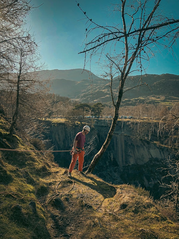
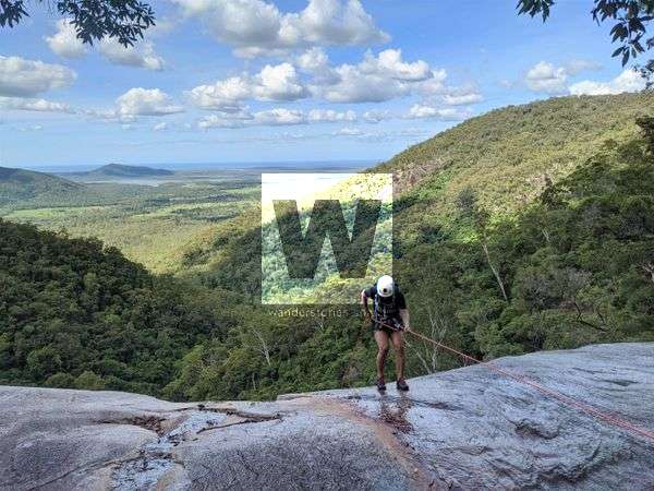
How To How to Abseil Abseiling, also known as rappelling, is a technique used to descend cliffs and other steep inclines. It is a useful skill to have for rock climbing, canyoneering, and other outdoor activities, such as remote hiking. If you are new to abseiling, it is important to learn the proper techniques and
Members only Paluma Range National Park Cairn Creek Cairns Creek is a unique creek in Paluma Range due to the overflow of Gold Creek in flood.
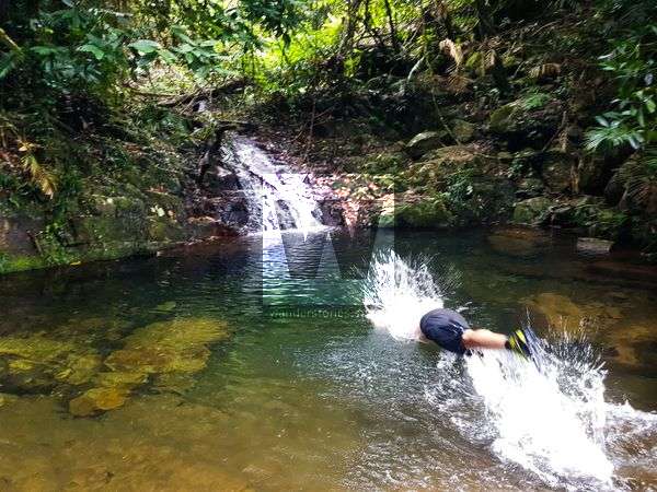
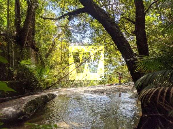
Paluma Range National Park Chock Creek This rugged rainforest creek is located in Paluma Range and flows into Crystal Creek. This creek was named after the chockstone feature in the creek.
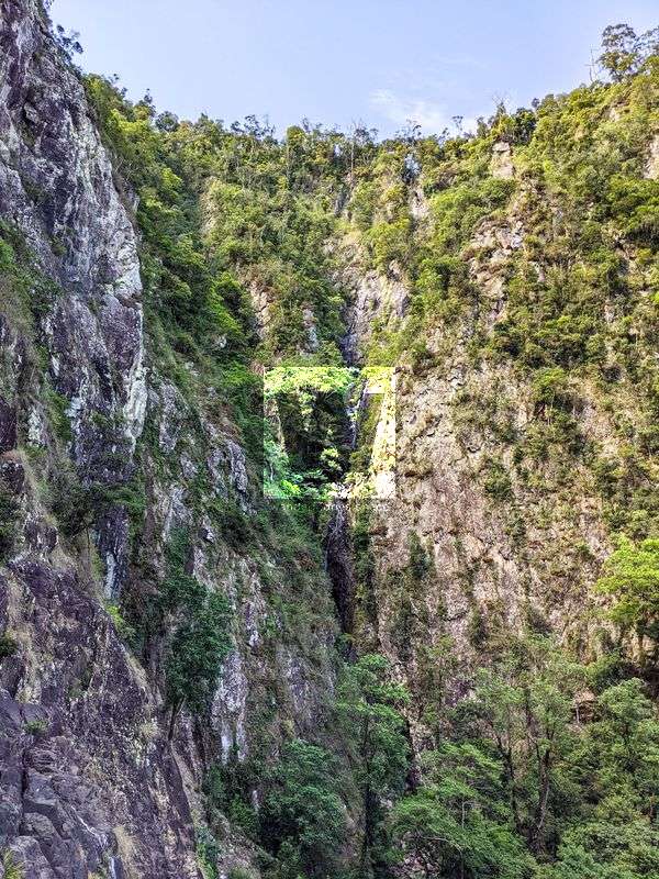
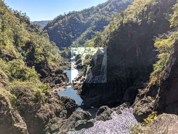
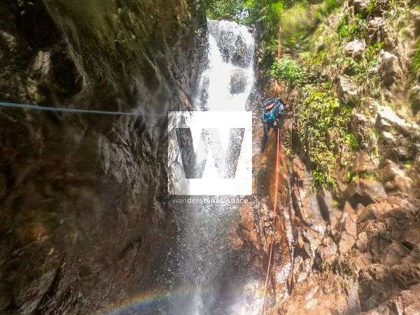
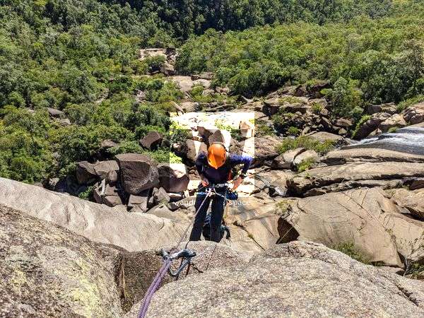
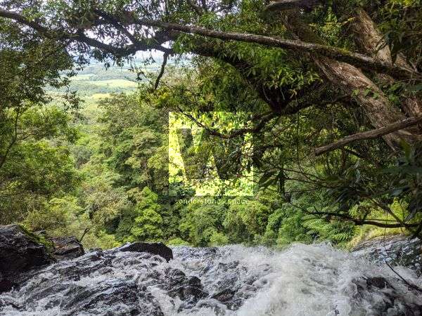
Girringun National Park Flagstone Canyon, Flagstone Creek Flagstone Canyon is a fantastic big drop and committing canyon for advanced canyoneers. The canyon features the impressive multi-terances Flagstone Falls with approximately 300 metres of elevation drop in 200 metres.
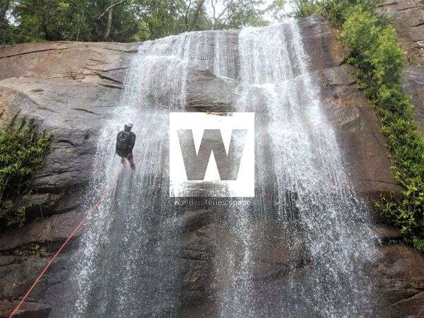
Girringun National Park Garrawalt Canyon, Garrawalt Creek Garrawalt Falls is impressive enough to look at, let along rappel down them. This majestic canyon provide long drops, rappels through water, and plenty of pack swims. This canyon will not disappoint.
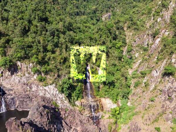
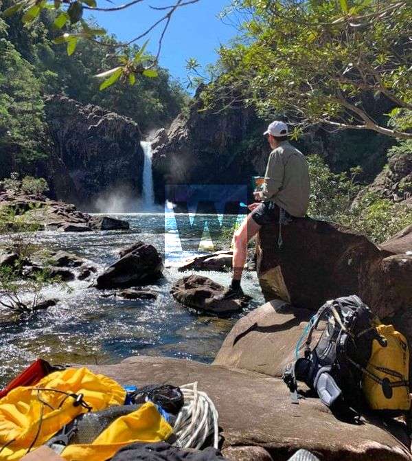
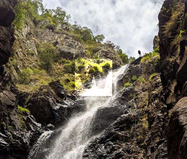
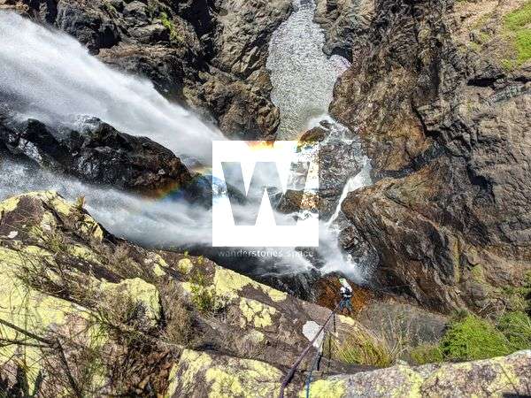
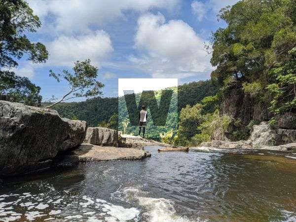
Girringun National Park Raspberry Creek Canyoning This canyon has grand views and some unique rappels. Raspberry Falls is an open creek where that water cascades down the terraced, bare granite rock cliffs. The landscape is open and rugged. It's one of the larger systems that drop off the Sea View Range.
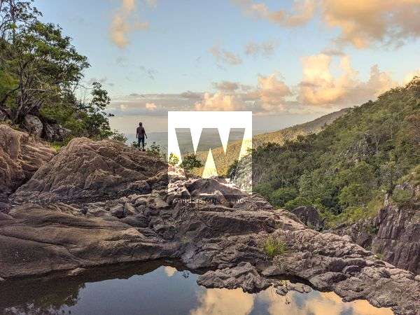
Girringun National Park Disaster Canyon, Disaster Creek Disaster Falls is a remote gem but its a mission to get to. The large drop off the range and the gorges make for a picturesque place to appreciate nature.
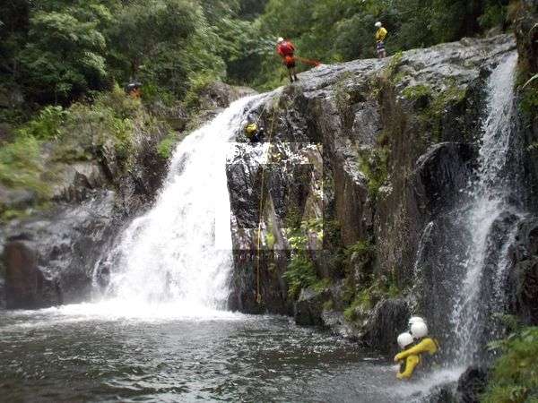
Members only Bowling Green Bay National Park Terraces Canyon The Terraces is an idyllic trip with stunning waterfall after waterfall located in the Palm Creek area of Bowling Green Bay National Park.
Members only Bowling Green Bay National Park Cascades Canyon The Cascades is just that! Cascading water over rocks, waterfall after waterfall. They are located in the Palm Creek area of Bowling Green Bay National Park.
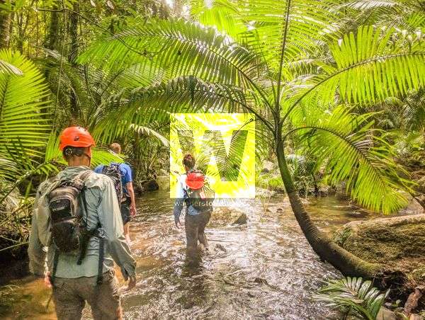
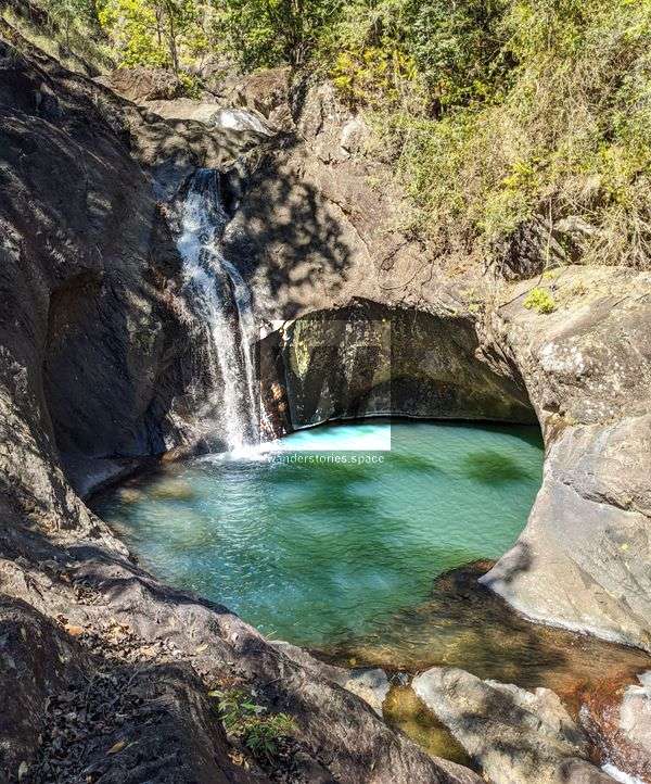
Daintree National Park Karnak Canyon, Little Falls Creek Tributary Karnak Canyon is one of the prettier creek to follow in Far North Queensland. This is a tributary of Little Falls Creek and is relatively easy to access for a high reward canyon.
Mowbray National Park Spring Canyon, Spring Creek Spring Creek is hidden deep within the Mowbray Valley near Port Douglas in Far North Queensland. These falls make for a great one-way trip and provide private waterholes with great views along the steep descent.
Cairns Canyoning around Cairns, Far North Queensland There are several places around Cairns in Far North Queensland to go canyoning that many people don't know about it. Several of the creeks around the area have been bolted where there are no safe natural anchors to rappel from. Find your local canyoners and ask for beta on the
Girringun National Park Tinkle Canyon, Tinkle Creek This rugged but beautiful creek has some spectacular gorges and big drops. It's one of the larger systems that drop off the Sea View Range near Wallaman Falls.
Paluma Range National Park Canyoning Mobile Creek - An Ollera Creek Tributary Some refer to this tributary as Mobile Creek. The creek often has little flow so this makes for a perfect canyoning trip after heavy rain - within reason.