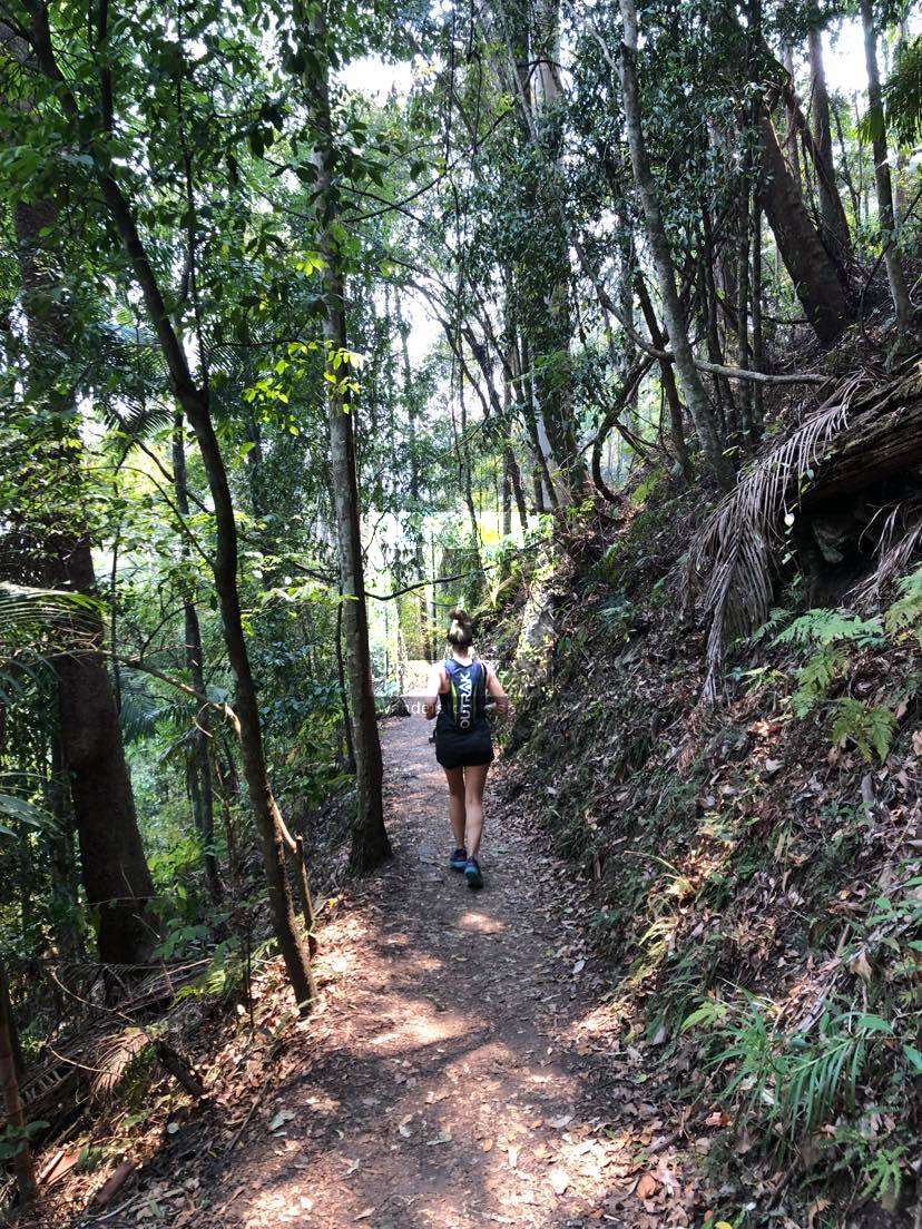
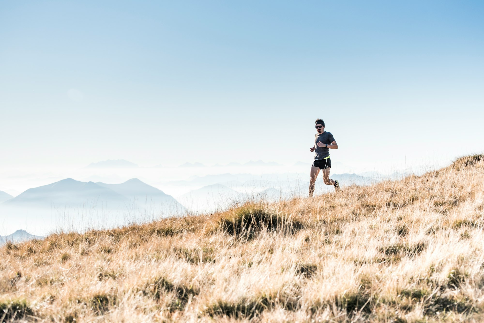
Trail Running in Townsville
Some say trail running is simply running in nature. And, Townsville is lucky to have some of the best trails in Australia. Run up Castle Hill after work from the heart of the city, and you will not only have a great run, but also 360° views of the area!


Townsville, North Queensland is lucky to have some of the best trails in Australia. Run up Castle Hill after work from the heart of the city, and you will not only have a great run, but also 360° views that include Mount Elliot, Cape Pallarenda, the Paluma Range, Magnetic Island, and Mount Stuart. Incidentally, all of those areas also have nice trail running options too.
What is trail running?
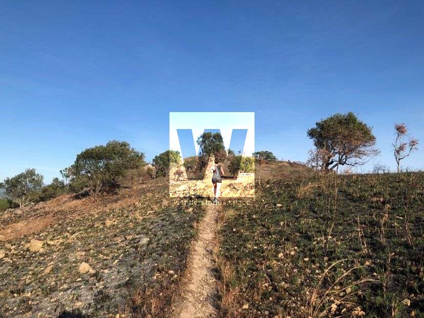
Some say trail running is simply running in nature. Indeed, trail running incorporates the sport of running with nature, scenery, sometimes uneven terrain on unpaved surfaces, occasional obstacles, ascents and descents, sometimes remote locations, but hopefully always a bit of fresh air and a few gorgeous views.
Are you running the whole time?
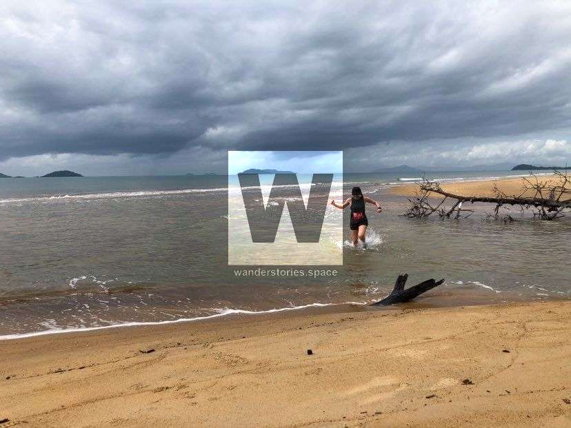
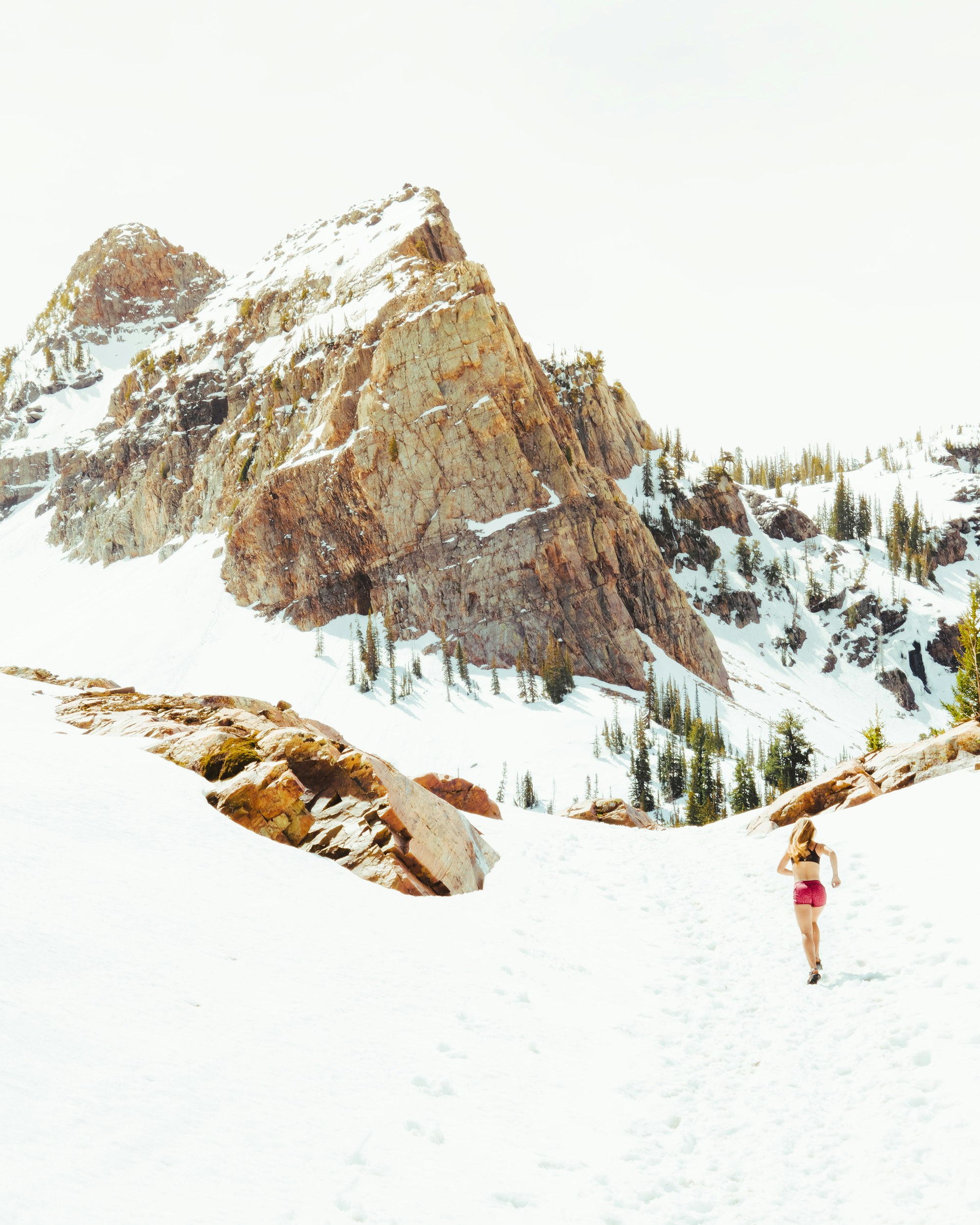
No, you aren't always running when 'trail running', as sometimes the terrain can get too technical. Obstacles such as rocks, mud, creeks, or even snow, depending on where you are, require a pause and re-assess. Some people trail run with hiking poles too, which can help with a steep ascent or descent but can also mean some stretches feel more like walking or hiking rather than running. Moreover, ultra-marathon (i.e., distances longer than 42.2 kilometres) trail runners must allocate time for a quick nap and numerous re-fuel sessions. So, slowed paces and multiple pauses are normal for trail running.
Types of trail running
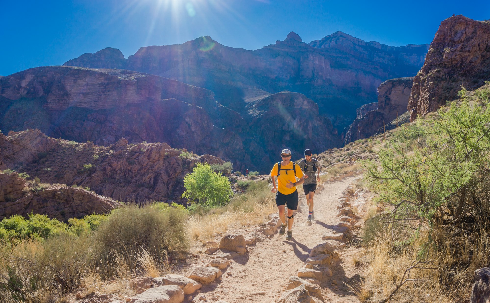
There have been many derivatives of trail running too, including fastpacking, also known as speed hiking, where overnight gear is often carried, mountain running, and skyrunning. The latter's requirements, for example, include (at least) 2,000 metre ascents and descents inclines of (at least) 30%! And, of course, many may confuse trail running with cross country running – the grandfather of running in nature – which some of us may have competed in during our highschool/secondary school days. In most of the aforementioned types of trail running, the definition encompasses the distance, terrain, and duration, but in all cases, runners are largely running on unpaved paths and in nature.

Getting started
Find a trail, one of those listed below will do nicely, and let the terrain dictate your pace. Remember, as mentioned above, walking for segments of your trail is absolutely fine. If you're unfamiliar with the area, sometimes it is best to start with an 'out and back' (i.e., running a distance, and then turning around and running back the same way). This way there are no surprises on the way home, and you can fine-tune the distance you wish to run. Doing an 'out and back' may also allow you to push past your comfortable distance because you have to get home somehow!
You really don't need anything special to get started. Any pair of comfy running shoes will do the trick, but there are a few basic items you might want to consider depending on the duration, terrain, weather, and timing of your run. Just be mindful of progressive loading overtime to prevent injury.
Essentials
- Trail running shoes are a great investment for many. While road shoes still work absolutely fine in many cases, a good pair of trail shoes can provide better grip (especially on gravel), be more durable, and keep out dirt and pebbles.
- Some of us bring a head torch with us regardless. You may find yourself enjoying a run so much, and then suddenly the sun is setting, and you have another 15 kilometres to go... in the dark... until you are home. You can get a decent head torch for AU$50. Plus, during the hotter months and wet season in Townsville, running at night can be a lot more pleasant.
- Hydration packs are key for a lot of trail runners. For the long runs, these are essential. Find one that is a good fit, and clean it often. Many hydration packs also have a bit of storage for a head torch, phone, money, and other essentials.
- GPS tracking is not only fantastic for safety purposes but also a great way to record your activities and measure improvements or engage in social media. You can use a GPS-enabled watch or a smartphone app like Strava.
- For longer runs, consider carrying a basic first aid kit, including a snake bandage and PLB, just in case. The tropical trails of the Townsville area are not always forgiving.
Hydration and fuel
- Firstly, hydration and fuel requirements are different for everyone.
- Generally if you are running longer than one hour, you will want some water and maybe some food.
- There is nothing wrong with carrying a water bottle, bladder, or hydration packs. Any can be great, depending on your needs. And, there are some fantastic, streamlined, light-weight designs out there now too.
- Running vests are some runners' preferred mode for carrying water and nourishment; the vests distribute the weight the best and have great access and sufficient storage.
- Most people should consume a small amount of carbohydrates before and after a run to top up glycogen stores.
- For 1-2 hour runs, many long-distance and trail runners opt for simple sweet foods, such as sports drinks, fruit, or gel packs.
- For runs that are longer than 2 hours, many runners opt to eat anything and everything when they get the opportunity. Some admit to consuming anything from sandwiches to baby food, cake, moist sports bars, and even hospital-grade meal replacements (e.g., Sustagen).
Learning new trails
- Running with a group and/or entering races can be a great start.
- Run races. This is a great way for many to get into the sport and the most fun. Trail races always have a great crowd and a good atmosphere.
- You may also opt to follow trail runners on Strava; then you can copy their routes.
- Look online for resources and check out our list below for some ideas. If you are nervous about checking out a track that is new to you solo, get a GPS-enabled watch with a navigation feature. Garmin and Suunto are the top of the line these days. This can help put your mind at ease if running solo but a good idea anyway!
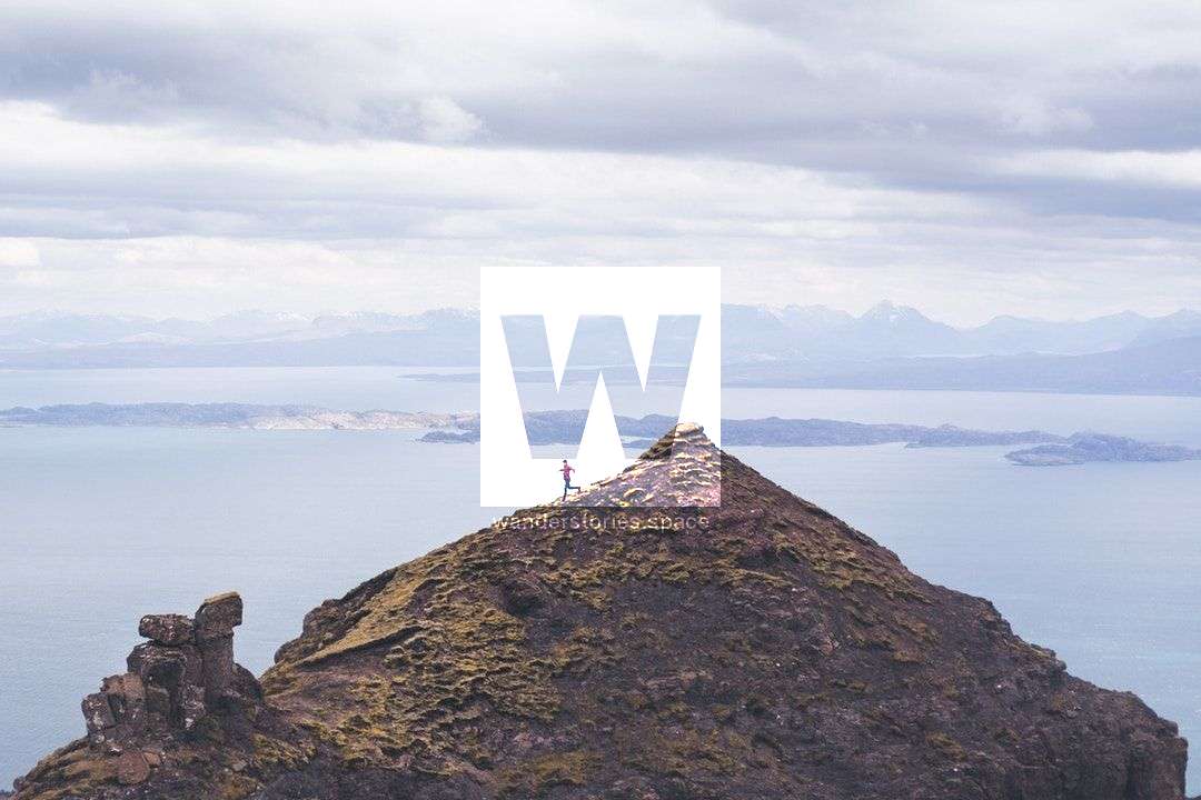
Running Many Peaks Trail
Best trail running in the Townsville area
Under The Radar
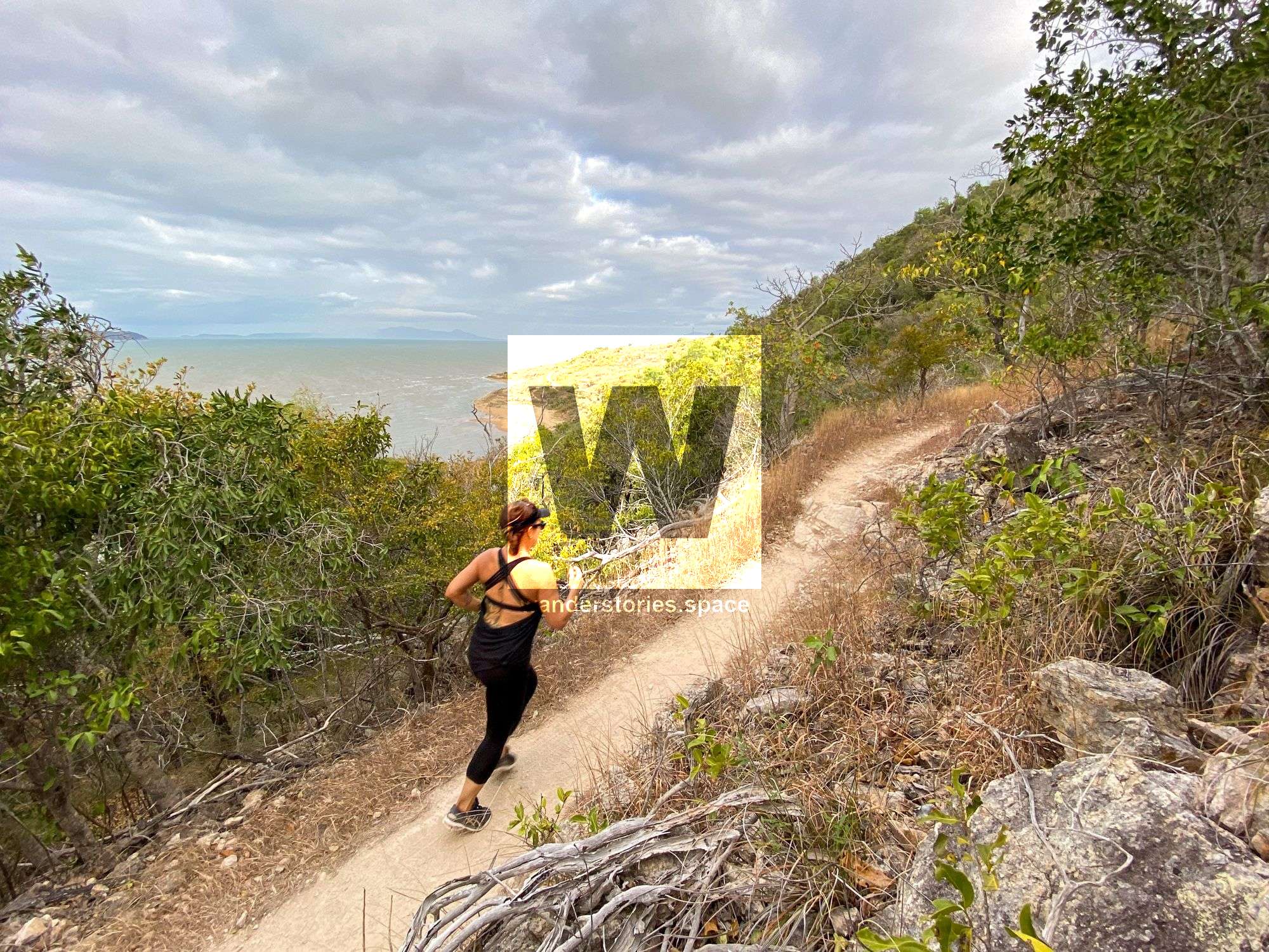
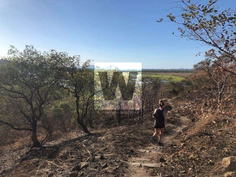
Location: Townsville Town Common and Cape Pallarenda Conservation Park
Distance: 17 km circuit
Difficulty: Easy to moderate track, with some sections having a slight incline
Run along the side of the mountain with views out to the ocean through semi-evergreen vine thickets and bushland before going down into the sandy flats before heading back along the lagoon trail of freshwater trail past Bald Rock.
On return take the speedy Lagoon Trail alongside the wetland area, or for a more difficult route, ascend the technical Many Peak Trail to Mount Marlow (213m), and descend slowly through marvellous semi-evergreen forest terrain toward the car park.
Alligator Creek Falls
Location: Bowling Green Bay National Park
Distance: 17 km return
Difficulty: Easy to moderate track, with some sections having a slight incline
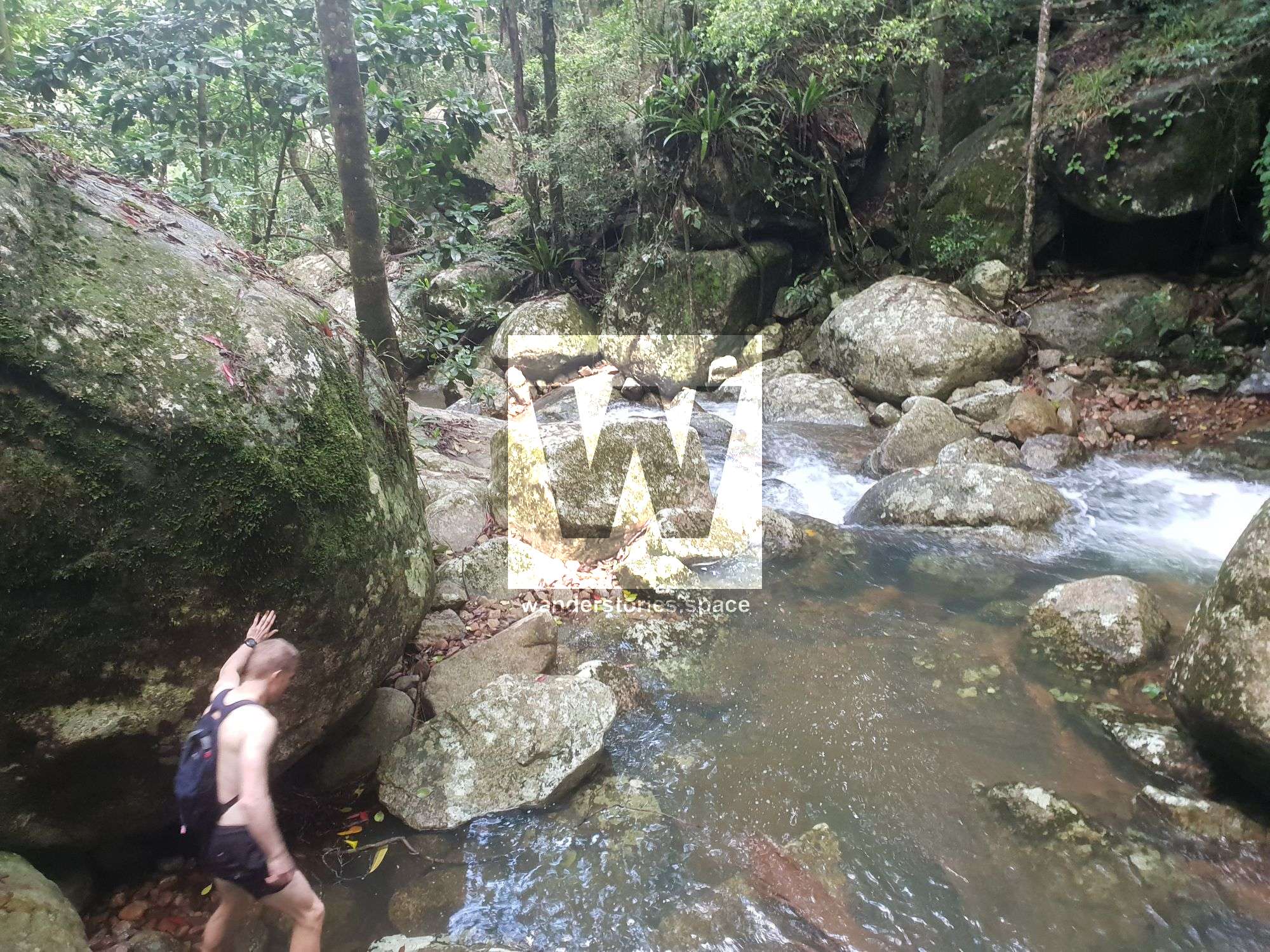
Alligator Creek starts near Mount Elliot, one of the highest peaks in Queensland at 1,218m, and flows into the valley between the Elliot Massif and Saddle Mountain. The headwaters of Alligator Creek begin in upland rainforests and descend via waterfalls and cascades that pour into deep pools.
Start at the day use and camping area, and then follow the national parks markers to the waterfall. There are four creek crossings and some boulder scrambling along the way, but a large portion of the trail is a powerline road. Temperatures can get sweltering – especially in summer – but the falls are quite impressive and make the run worthwhile.
A short but steep climb above the falls offers private infinity swimming holes and views of Saddle Mountain, Giru, and out to the ocean. This is not a national parks trail but is accessible by following the ribbon marked bush track to the right of the falls.
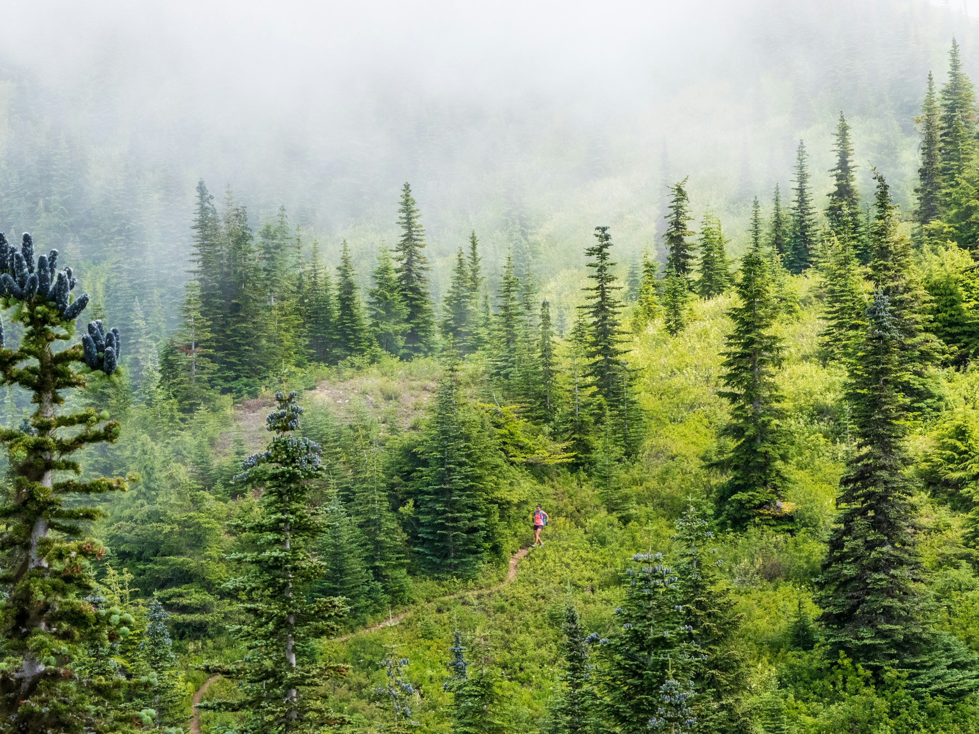
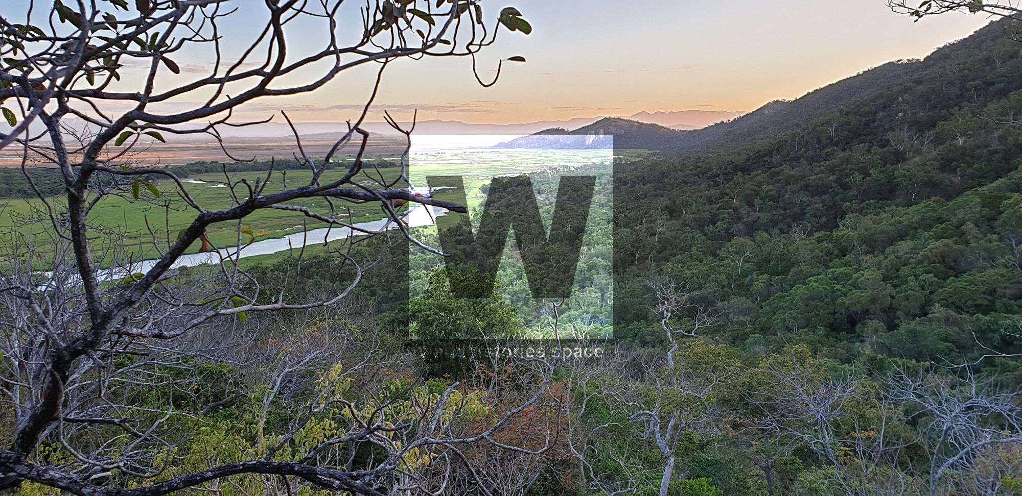
Paluma Trails
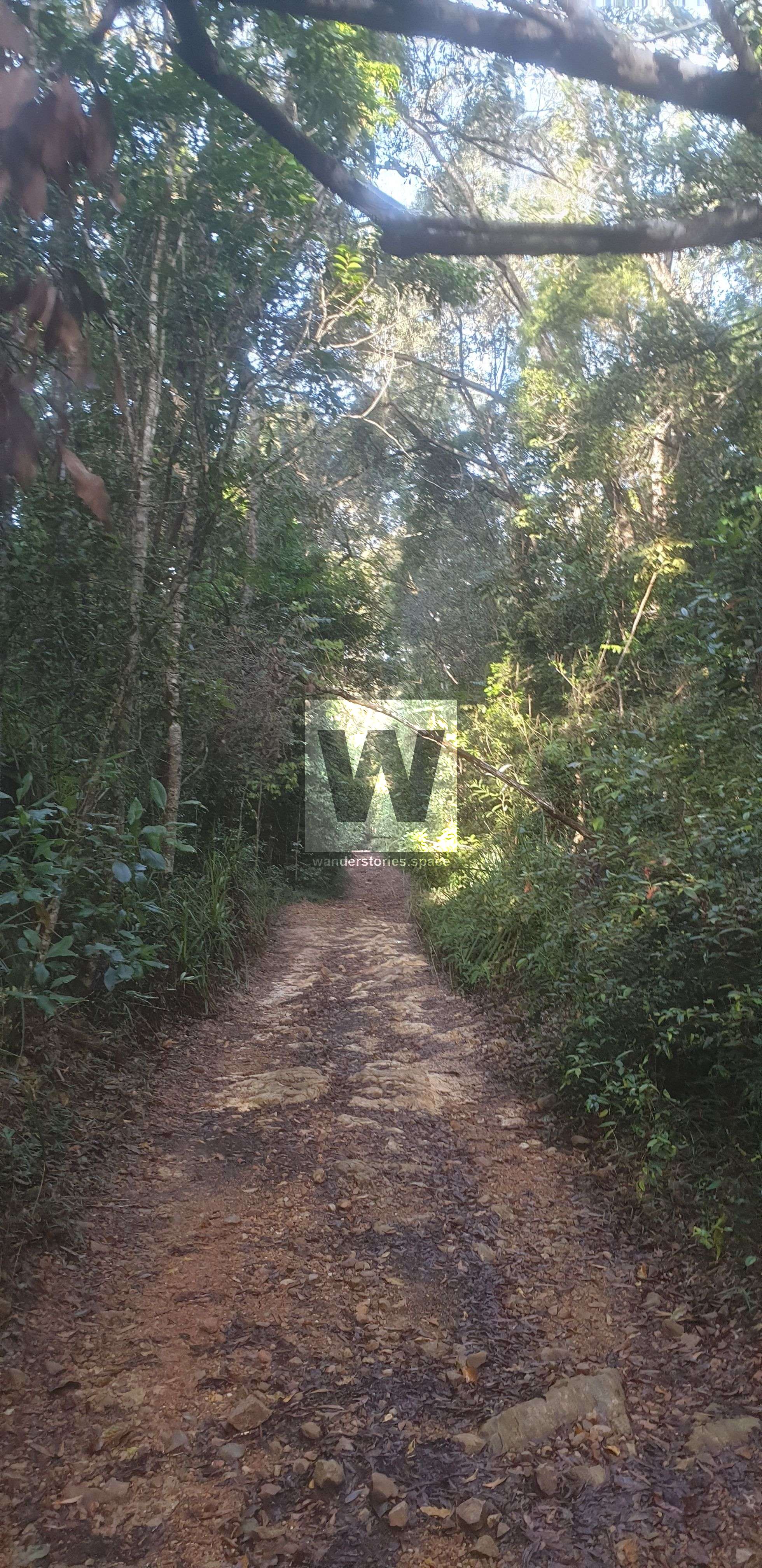
The Paluma Trail network is the crown jewel of trail running in Townsville. With 130 kilometres of trails through incredible world heritage rainforest, most of it single track, taking you past Lake Paluma, gorges, waterfalls, historic tin workings, and streams, this area is something very special.
Most commonly, people begin their runs and hikes from the Lake Paluma camping area. Here, you are at the heart of the trail network and well within running distance to the best attractions like Crystal or Diorite Falls. There are plenty of options for round trip circuits.
Alternatively, for a longer run with more vert, you can start at the bottom of the range and take one of four tracks off the Bruce Highway, such as Bullocky Tom's Track from Big Crystal Creek Campground, and link into the trail network above. For a steep heart beater, check out the Bluegum Circuit.
Here are two amazing options for circuits from Paluma Lake.
Diorite Falls and Dam Loop
Location: Paluma Range National Park
Distance: 15–22 km, depending on the route taken
Difficulty: Moderate to difficult, depending on the route taken
Diorite Falls is a stunning 10 metre slab waterfall on Waterfall Creek. This is a fantastic spot for a refreshing swim, picnic, and rock hop after a challenging hike/run.
Crystal Falls and Gold Falls Loop
Location: Paluma Range National Park
Distance: 15–22 km, depending on the route taken
Difficulty: Moderate to difficult, depending on the route taken
Pass Wilfred's Lookout and Torstons Rock Garden before heading down to Crystal Falls. From here, make your way to Gold Falls, which is a beautiful 50 metre, terraced waterfall. Return via DCK Shelter (private property), the tin mines, and buttercup lookout. Enjoy a refreshing swim in the inviting pool at the top of Gold Creek Falls after your run/hike. This waterfall is often done along with the full length of the Bullocky Tom's Track. People either hike out via Crystal Falls or stop off at DCK Shelter (private property), where accommodation is possible if permission is granted in advance.
Castle Hill
Castle Hill has some 15 official well-worn and easily followed trails to its summit. Predominantly, they are awesome single trail dirt paths with the exception of the Goat Track (concrete stairs), the Dianella Track (50% concrete stairs), and the Blue Spot Track (natural granite slabs). It is easy to link up the trails on Castle Hill to make awesome routes, and here are a few of our top picks.
City Slicker Route: For this 3.2 km route, allow about an hour. Start by ascending the Goat Track, and then traverse the Maidenhair Track. Climb up the Dianella Track or the Blue Spot Track onto Castle Hill Road. Walk down the Goat Track.
The Quad Master Route: For this 3.6 km route, allow about an hour. Start walking up the Dianella Track or Blue Spot Track to Castle Hill Road. Then, walk down the road to descend the Ironbark Track. Finish the route off by traversing the Triandra Track.
West End Wonder Route: For this 4.6 km route, allow about 1.5 hours. Start at the Ironbark Track, cross the road, and carefully clamber up the Scramble Track to the summit. Descend Castle Hill Road before making your way down the West Ridge Track. Then, all that's left is a short walk to where you parked.
The Freeman Circuit: This 11-13 km, 1.5-3 hour (depending on fitness) loop includes Castle Hill, The Strand, Jezzine Barracks (Kissing Point), Rowes Bay, the Mundy Creek Trail, and West Ridge Track. It is close to the city, and the track can be started anywhere. Just take care when crossing the roads.
Magnetic Island
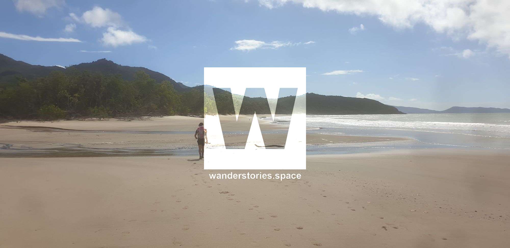
There is a fantastic mix of trails on the island that allow you to connect all the bays and main attractions that the island has to offer. One excellent route to see the highlights starts from Nelly Bay. Then, take the trail at the end of Mandalay Avenue toward Arcadia. This takes you over a modest hill with great views over Horseshoe Bay and the ocean.
At the 5 km mark, there is a junction to either continue past the Sphinx Lookout to Alma Bay and back to Nelly Bay via the Gabul Way.
Alternatively, take the exit toward the Forts Walk. From here, perhaps after doing the Forts Walk, follow Radical Bay Road (4WD) past Arthur, Florence, Radical, and Balding Bays and into Horseshoe Bay. These are the nicest beaches on the island, and so you might want to allow some time for a swim!
From Horseshoe Bay, you can catch the bus back to Nelly Bay or run the walking tracks alongside the road back to Nelly Bay.
Several people also like to take a change in environment with Bremner Point coasteering - rock hopping around Bremner Point from Geoffrey Bay to Alma Bay, which is completely off-track.
Douglas Mountain Bike Reserve
The JCU Walking Track is commonly called "JCU Stairs", likely because it is made up of 493 well-maintained steps. This track resulted from a joint project between TropEco and JCU Discovery Rise. Brave these steps spanning beautiful bushland, and you'll be rewarded with stunning views at the summit including the Mount Stuart foothills, James Cook University, Castle Hill, Townsville City, and the ocean. Kangaroos, crickets, spiders, and other little critters are common along this short but enjoyable walk.
Carrying on from the walking track summit there are numerous options for continuing on via the mountain bike trails network. However please note some of these trails have been demarcated for mountain bike use only, and so please abide by all signage along the way.
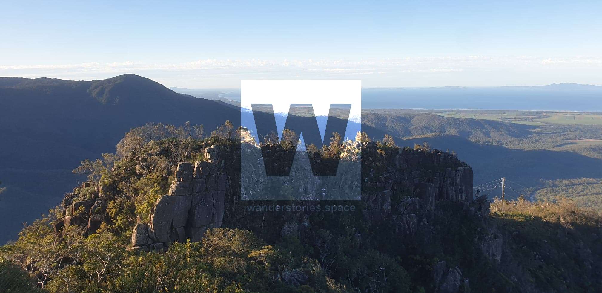
Mount Halifax and Godwin's Peak Loop
Location: Paluma Range National Park
Distance: 10 or 17 km, with more than 1,000 metres of ascent and descent
Difficulty: Very difficult and strenuous
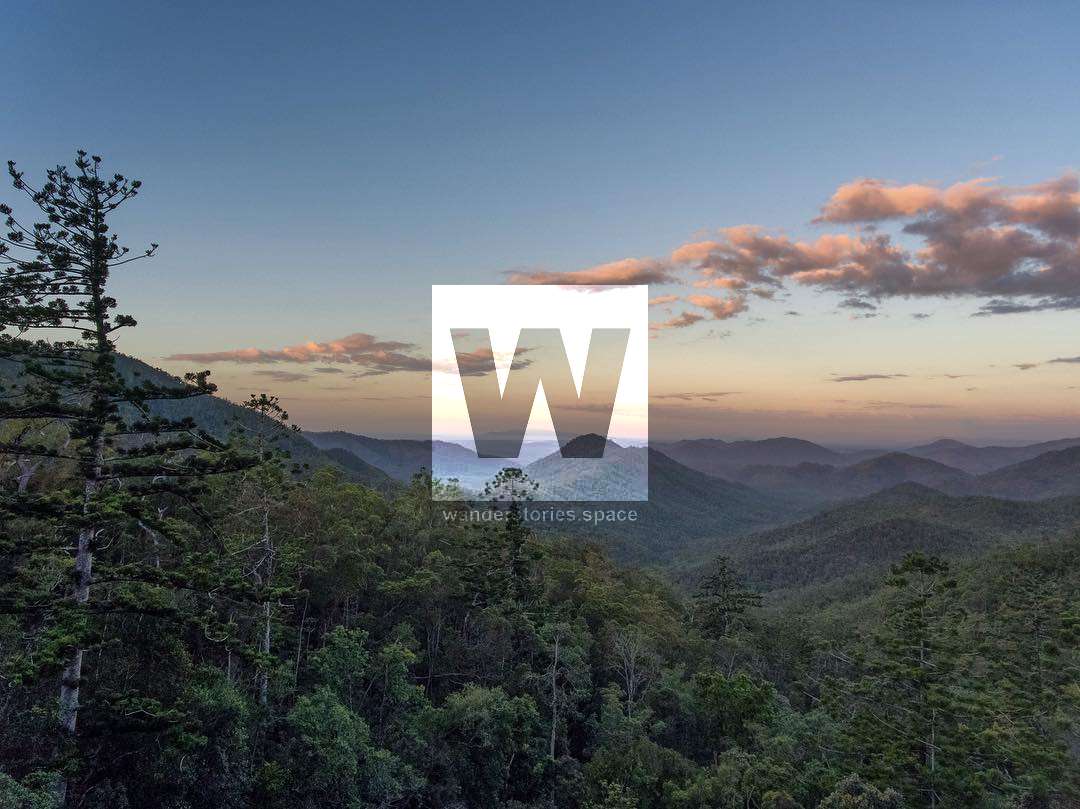
Mount Halifax is a dominant mountain located near Rollingstone, approximately 50 km north of Townsville, and is the highest peak (1,063 metres) on the mainland north of Townsville until the Tully area. This is a challenging hit-out for fit hikers and super-nimble trail runners, with very steep gradients, and rough uneven rainforest terrain. This one encompasses a magical part of NQ that follows a creek for the first half, passing five great swimming holes and waterfalls. There is a 1 kilometre section with over 400 metres of vertical ascent, where there is not much exposure, but you will still be glad fixed ropes are provided to help you pull yourself up the segment.
From the Mount Halifax summit, you have the option to return back or to extend your run and descend via Godwin's Peak for a 17 kilometre round trip. However, this marked route is rough and uneven, with no defined track. Godwin's Peak summit (782 metres) is a bald summit that provides a 360-degree panoramic view. In fact, the views from the top of both mountains offer superb views of the coastline to Townsville. On a clear day, you can see Mount Marlow (Pallarenda), Mount Stuart, Castle Hill, and Magnetic Island.
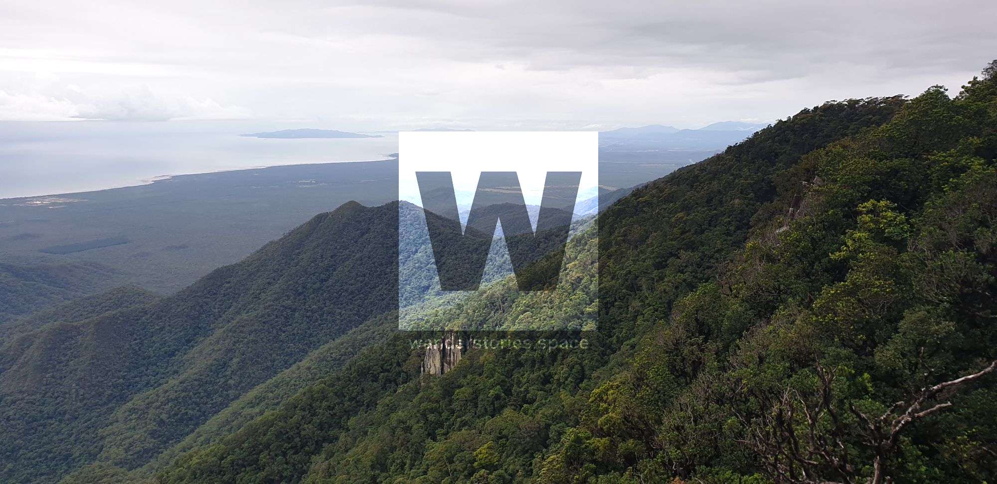
The PRB (Paluma Rollingstone Bluewater) Track
This old forestry trail is full of red, muddy clay and is enclosed by rainforest. With the majority of the trail at 600 m+ above sea level, shaded by thick rainforest, and only 40 mins from town, it is a great option for getting in a long run during the warmer months.
Most commonly, people run from the base of the hill on Forestry Road (park at the second bridge) and do an 'out and back'. However if you want to skip the hill and get straight into the nice rainforest stuff, you can drive the 6 km up the hill, and park at an old logging hut.
After 11 km, there is a landslide from the 2019 floods, and after 22 km, there is the noteworthy Keelbottom Creek with seasonal flow. These are the two most common spots where people turn around. Past Keelbottom Creek, the trail gets progressively more overgrown and unpleasant.
This track has a link-up with Mount Halifax.
See the Facebook group "DIY Bluewater Run 22, 42, 64, 84 km Options" to participate in the different Strava circuits. The Peak Running group also do this track for training.
Hinchinbrook Island National Park
The Thorsborne Trail is a 32 kilometre, well-formed track that is perfect for running. You will pass beautiful waterfalls and several types of terrain and coastal landscapes with grand views. You can even opt for side trips to increase your distance if you choose to do so. The plan is to get the earliest ferry across, set up camp at George Point or Mulligan Falls, and then run the trail from there, allowing enough time to return to your campsite. Sleep the night, and then get the ferry back in the morning.
Some have also kayaked to the island, ran the length of the trail, and then returned to the mainland via paddling back the same day. Watch out for crocodiles!
Conway National Park
The Conway National Park is near Airlie Beach (four hours south of Townsville) and has many great trails to run. Each year, there is a 57/28/10 km race held here (Run The Great Whitsunday Trail) that ends right in the middle of Airlie Beach at the lagoon. The scenery on this route is bound to be spectacular!
Annual Events
Outer Limits is the primary organiser of trail races in the greater Townsville area. They hold events at Castle Hill, Pallarenda, Alligator Creek, Magnetic Island, Paluma, and more.
Townsville Running Festival host a range of running races.
RunAround also organises virtual trail races in Townsville. These virtual races allow you the flexibility to enter the race when it suits you.
Within the NQ and FNQ region, there are also the following events and trail running organisations:
Run Whitsundays
Dynamic Running
3 Marathons in 3 Days
Adventure Sport NQ
Groups to join
Townsville Trail Running
Hungry Runners
Peak Running
DIY Bluewater Run 22, 42, 64, 84 km Options
Other Links:
Park Run
Craft Run
445 Run Club
RunAround
Outer Limits
Townsville Running Festival
Enjoy and happy trails!
Some photos are from Shannon Taper, Matthew Salinovich, Luen Warneke, or Unsplash.This article, and all other articles, are for entertainment purposes only and are not to be used as a guide. Please see our Disclaimer for more information.