Peaks of Paluma Range National Park


Paluma Range National Park is located just north of Townsville and spans from Bluewater all the way north to Ingham. This Wet Tropics World Heritage Area was established in 1994 and covers 172 km².
How many peaks are there in Paluma Range National Park? Well, it depends on who you ask and at what point in history you inquire. Here are the seven peaks that are currently mapped on QTopo (most popular).
Mount Halifax - 1,063 m
Mount Halifax is the highest mountain in all of Paluma Range National Park. It is the mountain you can see rising above the pineapple farms at Rollingstone from the Bruce Highway. Mount Halifax can also be seen from Castle Hill and various other vantage points around the greater Townsville area. There is a popular trail up to the summit from Pace's Gate. This trail follows a creek, after which you will eventually encounter waterfalls and beautiful swimming holes. Although the peak is completely covered in rainforest, there are several cliffs around the summit that provide views of Godwin's Peak all the way to the ocean.
Mount Spec - 995 m
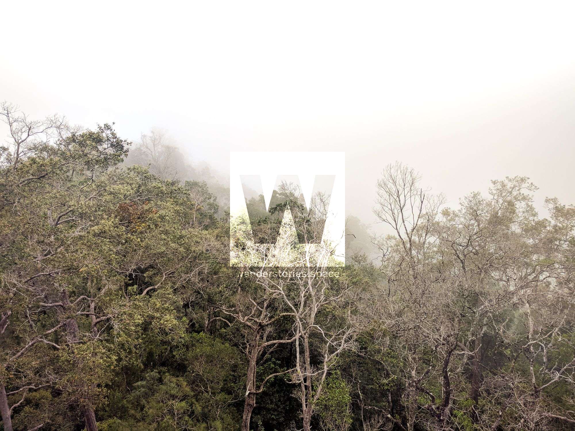
Mount Spec (995 m) is the highest peak in the immediate area of Paluma Village and the second highest in Paluma Range National Park. Because so much mining and logging activities centred around the Mount Spec area in the late 1800s, there exists a rich history and a lot of interesting information here. When mining and logging had ceased, Mount Spec National Park was proclaimed in 1952 and included in the World Heritage Wet Tropics Area in 1989. Mount Spec is covered in rainforest, similar to the next peak, Mount Leach.
Mount Leach - 938 m
The best way to summit Mount Leach is via Foxlee's Track. But, Mount Leach is essentially just a hump, not really a picturesque peak like others in the area. It is covered in rainforest and has no view. However, there is a boulder to climb just off the summit which may appeal to those that are keen and is technically the highest point. Also, nearby, there is a cliff face that provides views of the National Park.
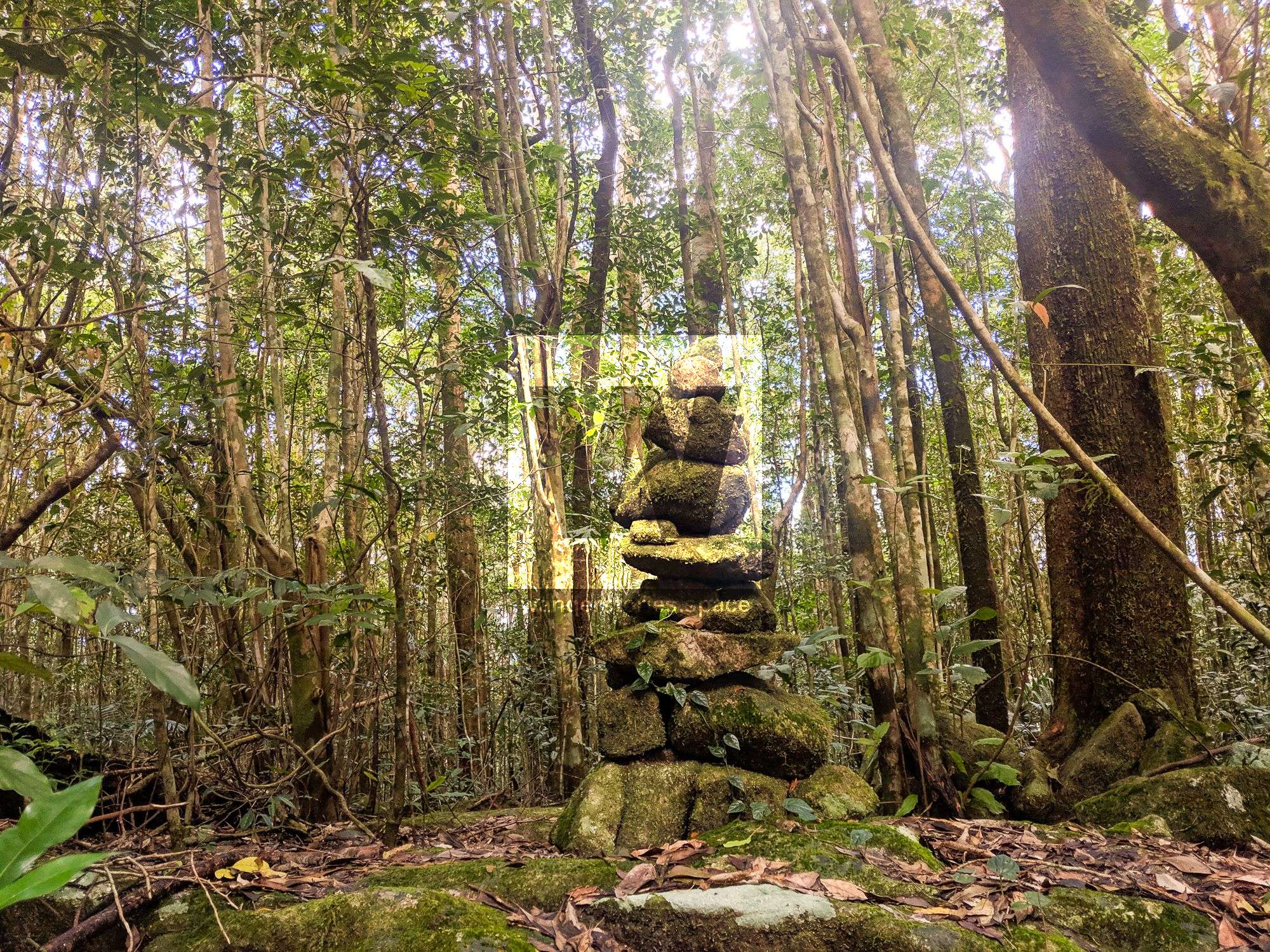
Circle View Mountain - 831 m
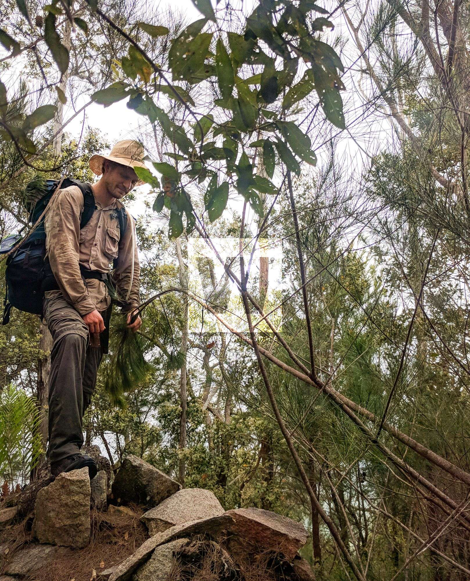
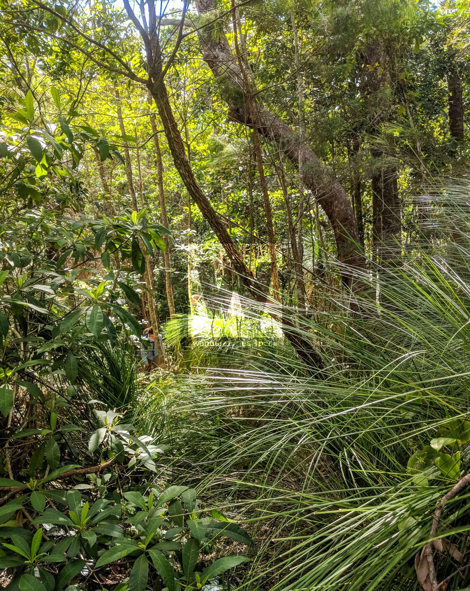
Circle View Mountain is located near Ollera Creek and Bells Track. The challenge is what attracts those that venture this way, as it's a tough trek. It's best accessed via the PRB Track but can also be accessed via the Bruce Highway, Ollera Creek, or Big Rock. If you do choose the Ollera Creek option, be sure to check out Ollera Creek Falls (both the small and big falls). They may be the prettiest in the entire Townsville area, and because they are difficult to reach, not many have enjoyed them! As you leave the creek and the elevation starts increasing, you'll find that the vegetation changes to bushland, which gets quite thick toward the summit of Circle View Mountain unfortunately hindering the view.
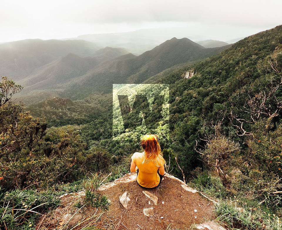
Godwin's Peak - 783 m
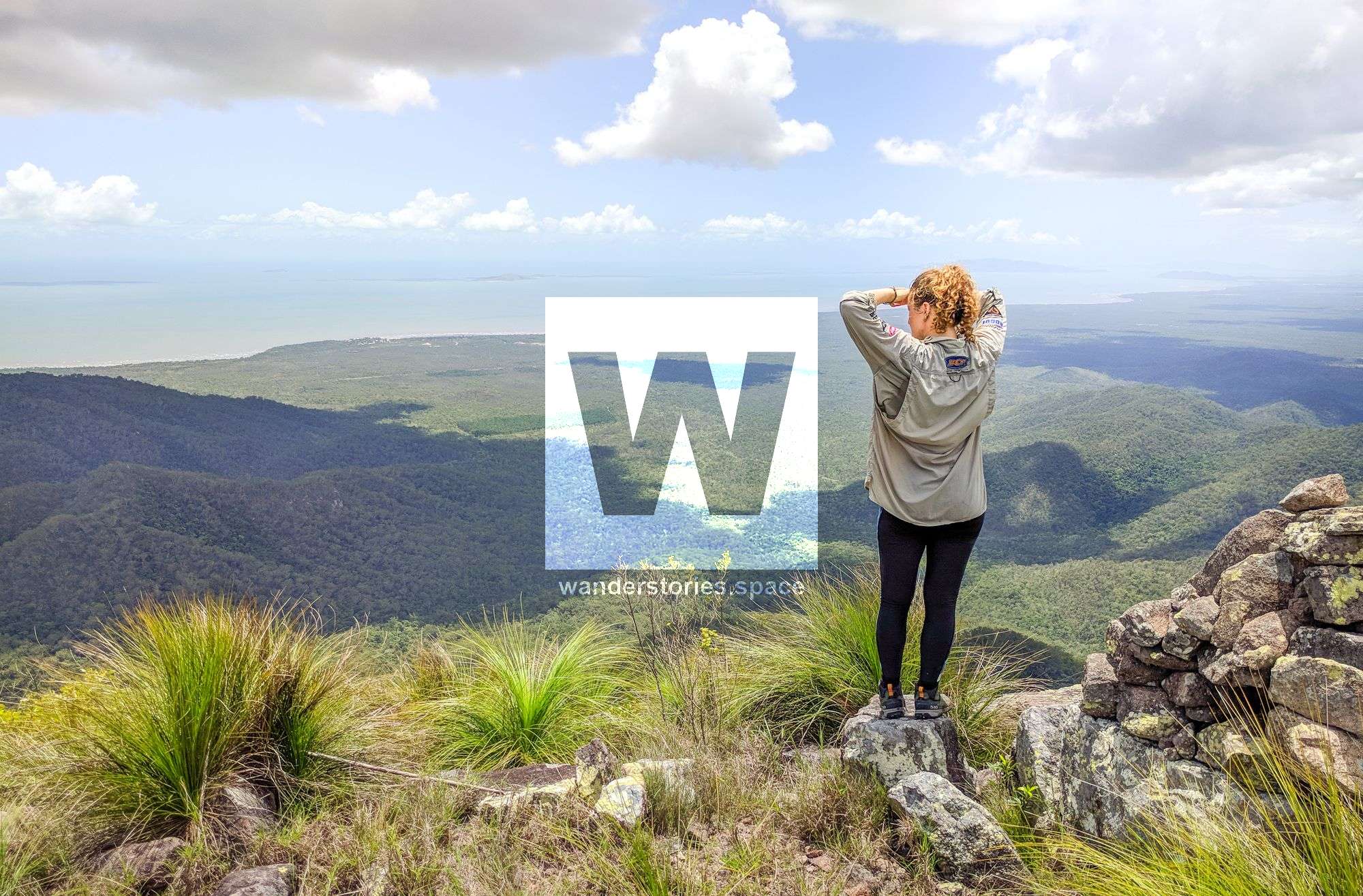
Godwin's Peak is arguably the prettiest in North Queensland and a Wanderstories favourite. The summit is bald and grassy with vegetation that is different from the other peaks in the National Park. However, the lack of trees at the top gives you a 360 degree panoramic view, which is unparalleled. This makes the last 1.7 km really worthwhile, though, as it is relatively tough, with quite a steep climb in elevation. Indeed, the views from the top of Godwin's Peak are truly magical; your eyes can trace the coastline all the way to Townsville, and on a clear day you can see Mount Marlow (Pallarenda), Mount Stuart, Castle Hill, and Magnetic Island.
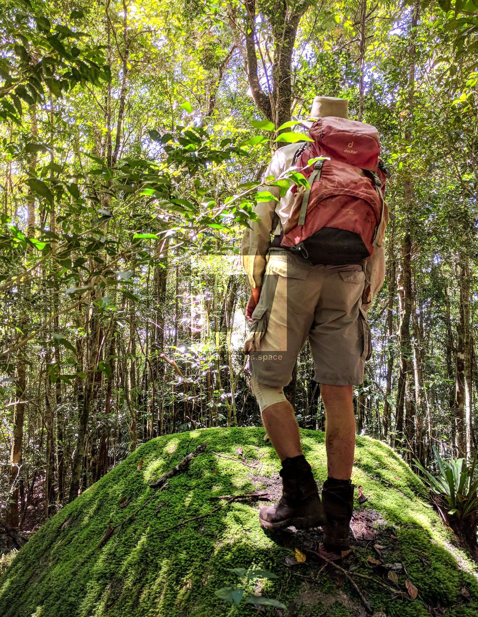
Mount Houston - 672 m
Mount Houston is similar to Mount Spec and Mount Leach because all three summits lack spectacular views, though the track to and the summit of Mount Houston is a bit different. Unlike the others, this track seems more like mixture of rainforest and bushland than anything else. Even at the summit, the vegetation is still super thick, and so there's no view or even any rocky outcrops to climb in search for a view. The best way to summit this mountain is via the Bambaroo Track, and for a fun canyoning adventure, head down Hillary Creek. You may notice a few pieces of orange tape leading off the Bambaroo Track towards the summit, but it seems as though the track is no longer marked after about 400 m. This track is a bit weird for one other reason, as summiting the peak actually takes you downhill from the highest point; so, you are literally walking down to the summit. Unless you are aiming to tick boxes for all of the major peaks in the area, give this one a miss.
The Saddle - 510 m
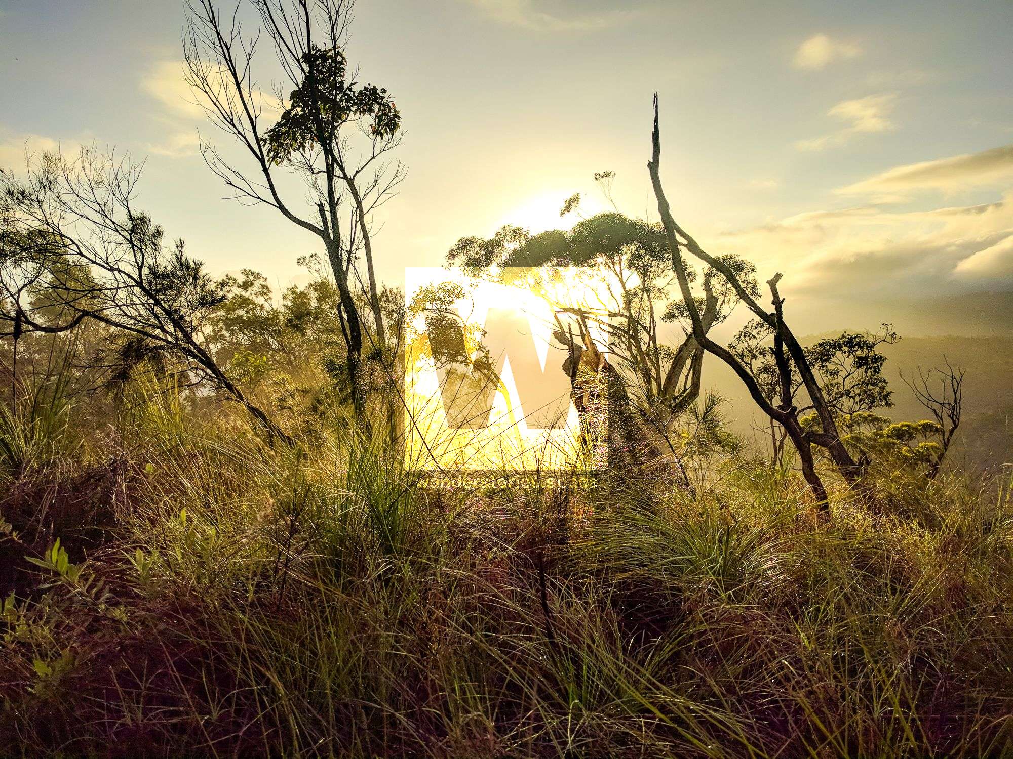
One of the easiest peaks to summit - because of such sparse vegetation and because the track begins just off the road - is The Saddle. The Saddle is located just uphill from the Little Crystal Creek Bridge, a bridge listed in part of the Wet Tropics UNESCO World Heritage Site. Just over 3 km uphill from the bridge, off the side of Mount Spec Road, you'll see an old construction site camp from when the road was built in 1930s. At this point, you'll head northeast (right) just over 300 m to the summit. The summit is largely grasslands with views of the other valleys, such as both Big and Little Crystal Creek Valleys, and ridgelines in the area. There use to be a road called "Saddle Road" that proceeded from The Saddle all the way down to Spiegelhauer Road, which takes you to the rockslides and Paradise Waterhole. Sections of this old road can still be made out if you're walking in the area, and the road is still visible on the QTopo topographical map.
So, those were the 7 peaks of Paluma on QTopo... but here are a few more that you may or may not know...
Historical mountains in Paluma Range
Other local place names that have been recorded over Paluma's history include:
Mount Ruth
Mount Ruth is a small hill about 800 metres from Mutarnee, the suburb at the base of Paluma Range, and next to Big Crystal Creek. Aboriginal tribes around the coastal areas and at the base of the Paluma Range were numerous in the early days were numerous. In fact, an old Aboriginal burial ground is located on the slopes of Mount Ruth. However, Aboriginal people were not the only ones buried here.
Thomas Edward Andrews, who was born in 1848 in Wicklow, Ireland, apparently had a close relationship with the Aboriginal people of this area. Andrew's nickname was 'Bullocky Tom', as he butchered and packed fresh meat and supplies to the tin miners that were working around Mount Spec and Hidden Valley during this time. Bullocky Tom made his home at the junction of Big and Little Saltwater (now Crystal) Creeks and lived there with his wife Ruth and their children. After his death on 13 January 1897, he was buried on Mount Ruth, where two orange trees marked his grave. The small creek bordering Andrews' property is now called Bullocky Tom's Creek, after this early settler. There is also a monument, on private property where the Bruce Highway crosses Big Crystal Creek, which commemorates Thomas Edward Andrews' life and that of his family.
Mount Benham
No one really knows the exact location of Mt Benham. Many local place names in the area commemorate members of the Benham family who were among the first Europeans to settle around Mount Spec. Mount Benham is thought to be in the Paluma Range near Mount Spec. The mining at Mount Benham was all in dense tropical scrub, which added terribly to the difficulty of prospecting and mining, and also of getting the tin away from the claims. Another, Benham's Lookout, a scenic lookout near Witts Lookout in the Mount Spec National Park (now Paluma Range National Park), was unfortunately closed by the Department of Environment in 1999. Arthur Benham never named anything after himself, they were all named by other people in his honour.
Mount Jacobson
Jacobson's Track (note: sometimes spelled 'Jacobsen'), provided access from Ingham to the mining town of Ewan, possibly during the early 1900s. This track passed near Mount Jacobson to Hidden Valley and was the earliest of the Mount Spec tracks and the one most used during this time.
Round Mountain
At an elevation of 694 metres, Round Mountain is north of Mount Leach, east of Mount Spec, and south of Mount Houston - not to be confused with Round Mountain near the Ross Dam.
Interactive Map
This article, and all other articles, are for entertainment purposes only and are not to be used as a guide. Please see our Disclaimer for more information.